Trails near Scanzorosciate
166 hikes starting within 15 km, nearest first.
Nearest first, page 4 of 4
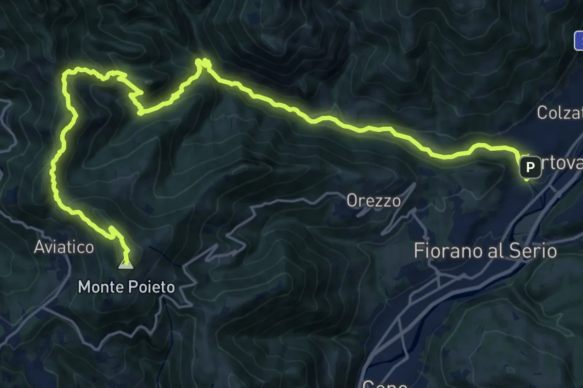
Demanding · Summit
Alta Via delle Grazie - Tappa 2
25.0 km · ↑ 1415 m · 8 h 59 min · 14 km away
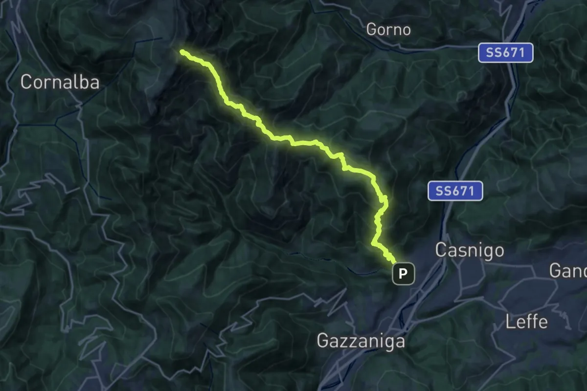
Demanding · Summit
Vertova – Cima Campelli
20.8 km · ↑ 1808 m · 8 h 50 min · 14 km away
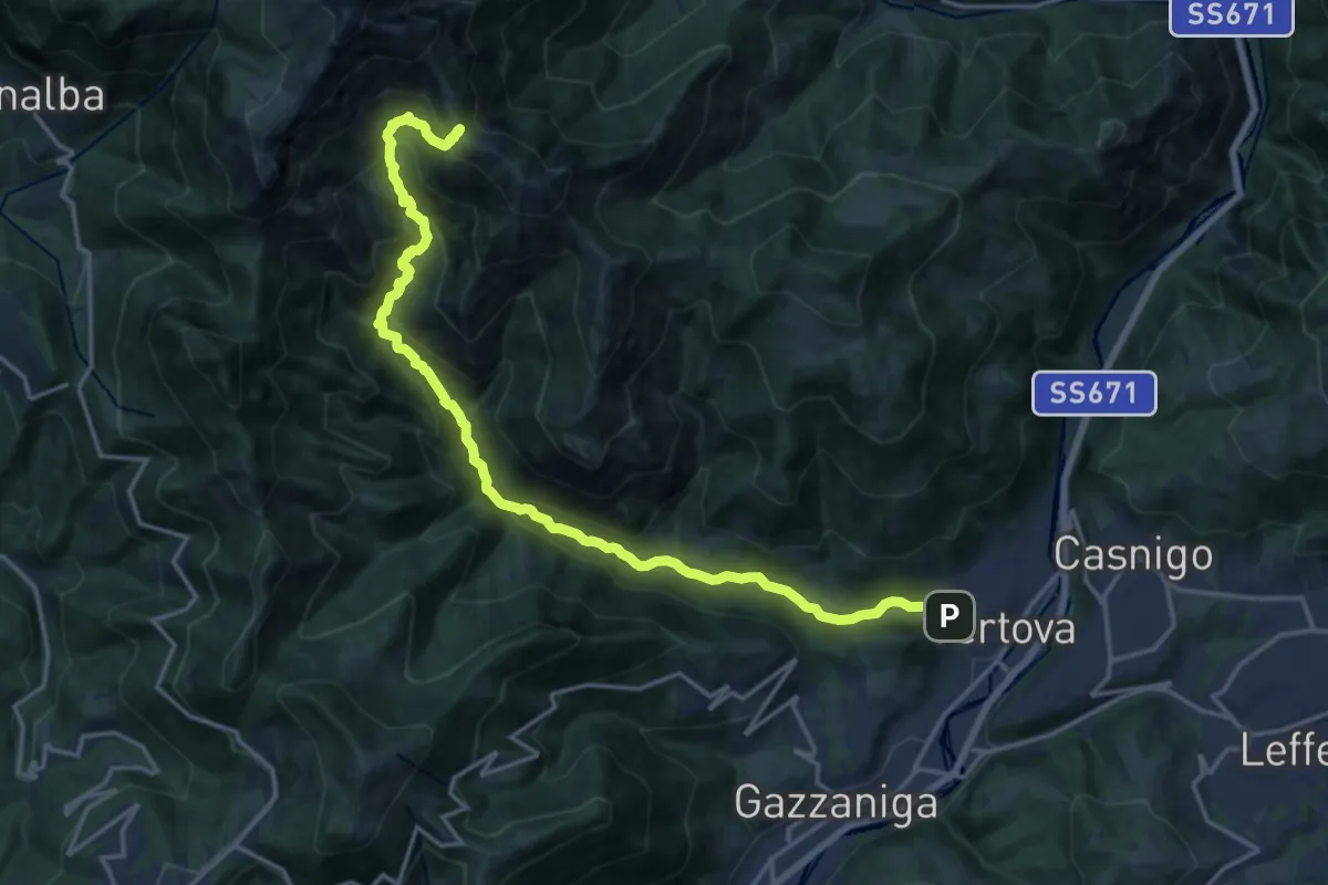
Demanding · Cabin
Vertova – Bivacco Testa
19.1 km · ↑ 1189 m · 7 h 5 min · 14 km away
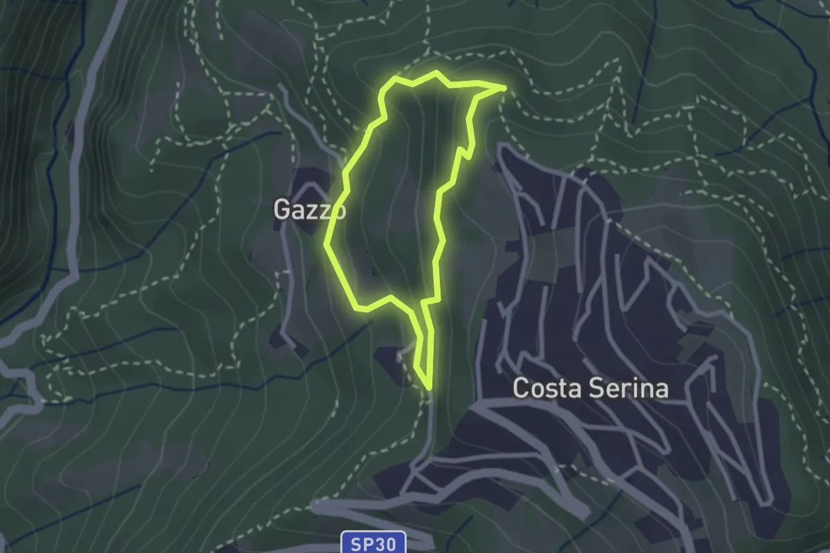
Medium · Trail
Sentiero Bianco
1.9 km · ↑ 122 m · 45 min · 14 km away
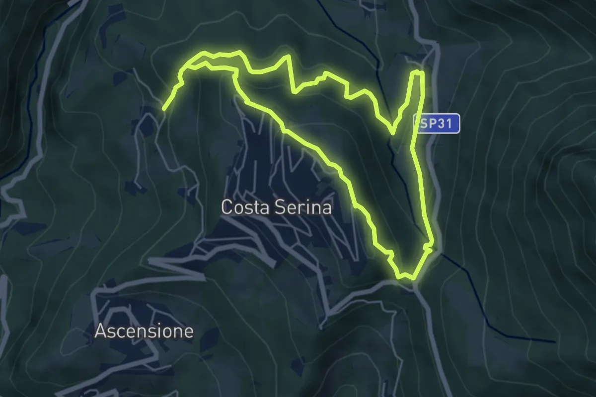
Medium · Trail
Sentiero Verde
4.9 km · ↑ 329 m · 1 h 58 min · 14 km away
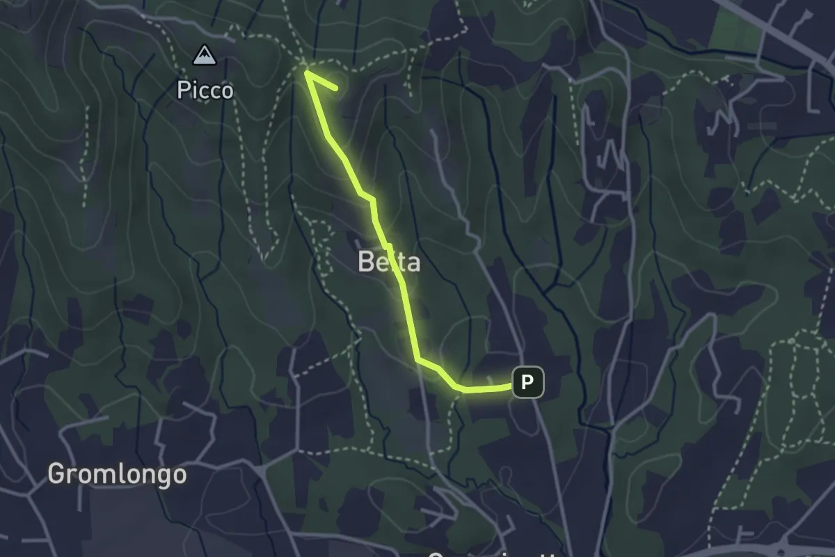
Easy · Summit
Brocchione – Secchia
2.6 km · ↑ 121 m · 53 min · 14 km away
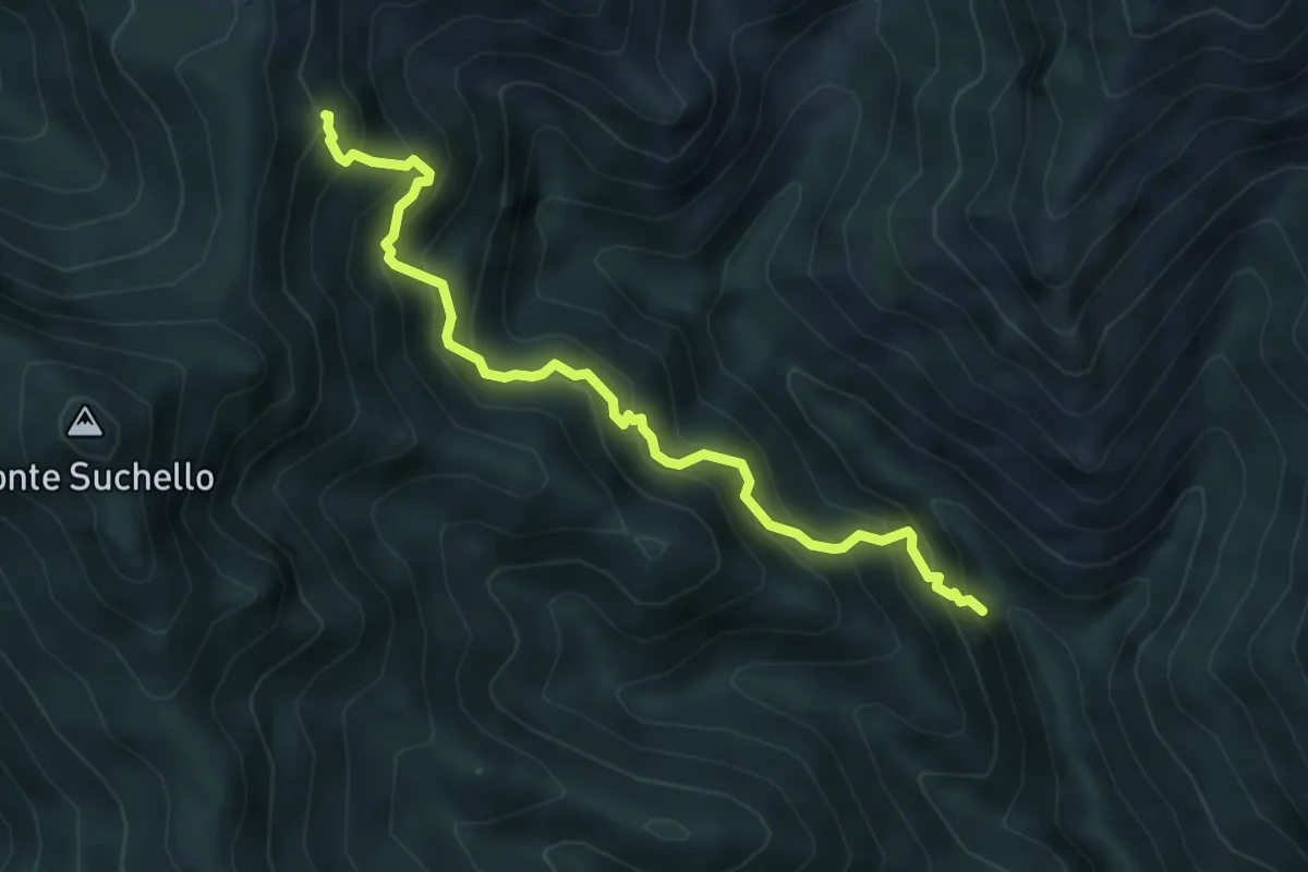
Medium · Trail
Val Vertova – Colle di Barbata
5.0 km · ↑ 660 m · 2 h 36 min · 14 km away
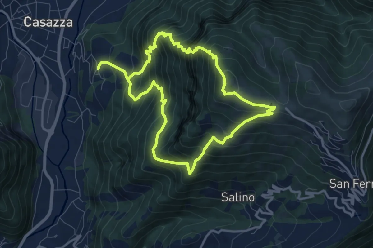
Demanding · Summit
Colognola (Casazza) – Colognola (Casazza)
7.6 km · ↑ 865 m · 3 h 44 min · 14 km away
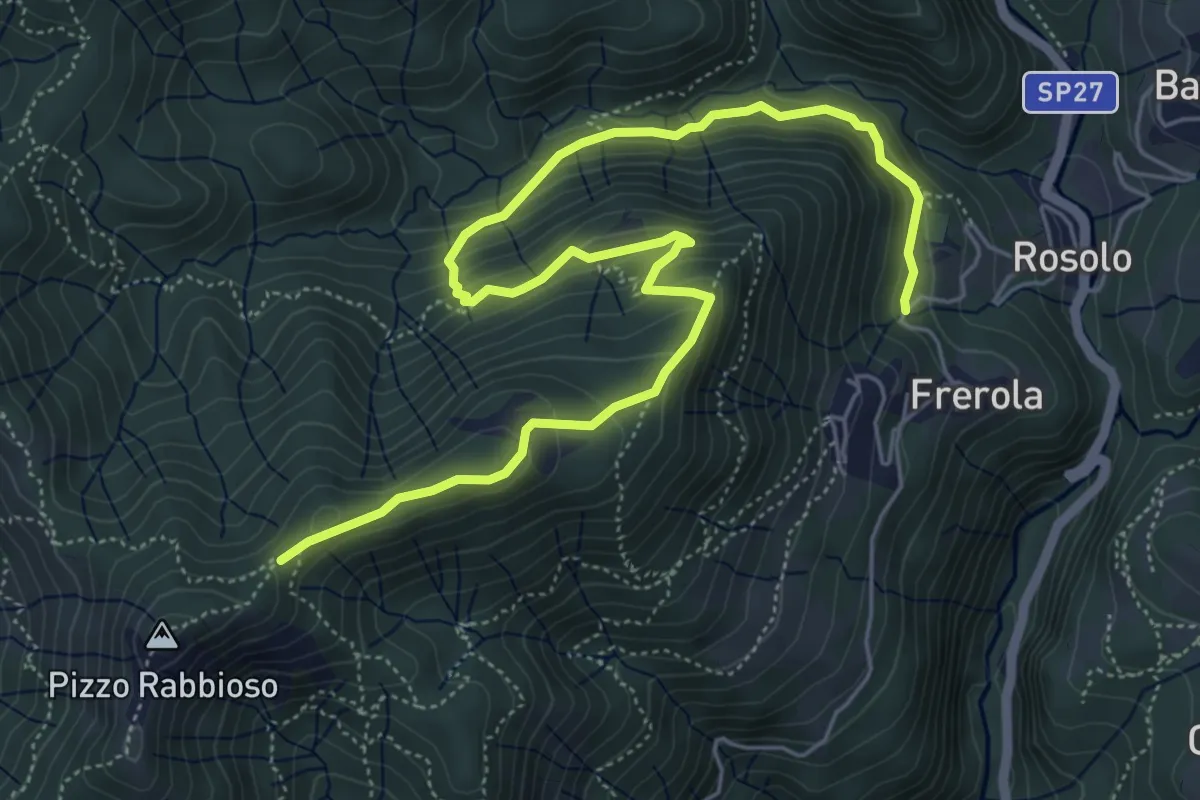
Medium · Trail
Frerola (Algua) – Pizzo Rabbioso
7.4 km · ↑ 493 m · 2 h 49 min · 14 km away
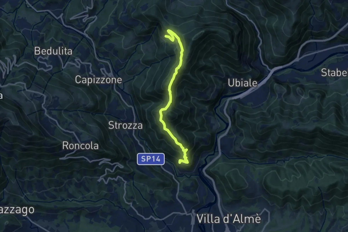
Medium · Trail
Sentiero del Partigiano Angelo Gotti
10.9 km · ↑ 778 m · 4 h 15 min · 15 km away
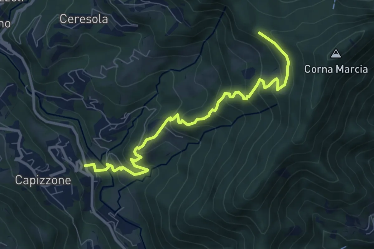
Medium · Trail
Medega (Capizzone) – Passo del Canto
7.9 km · ↑ 565 m · 3 h 5 min · 15 km away
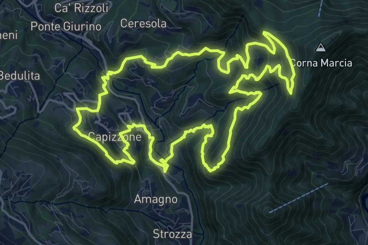
Demanding · Trail
Anello delle Contrade
14.2 km · ↑ 981 m · 5 h 41 min · 15 km away
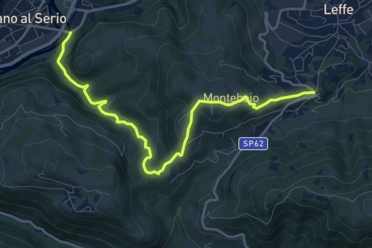
Medium · Trail
Ponte di Valgandino – S. Rocco di Leffe
9.6 km · ↑ 456 m · 3 h 15 min · 15 km away
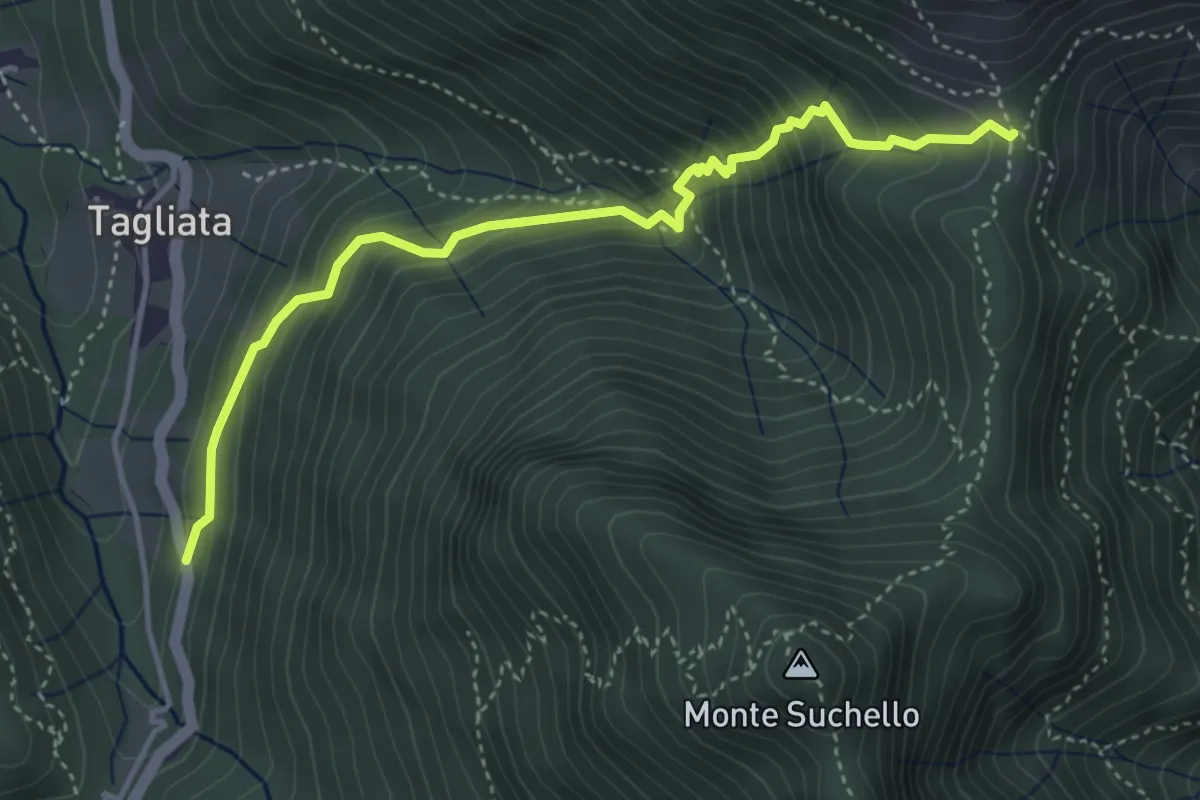
Medium · Trail
Costa di Serina – Passo Barbata (incrocio 525)
4.3 km · ↑ 508 m · 2 h 8 min · 15 km away
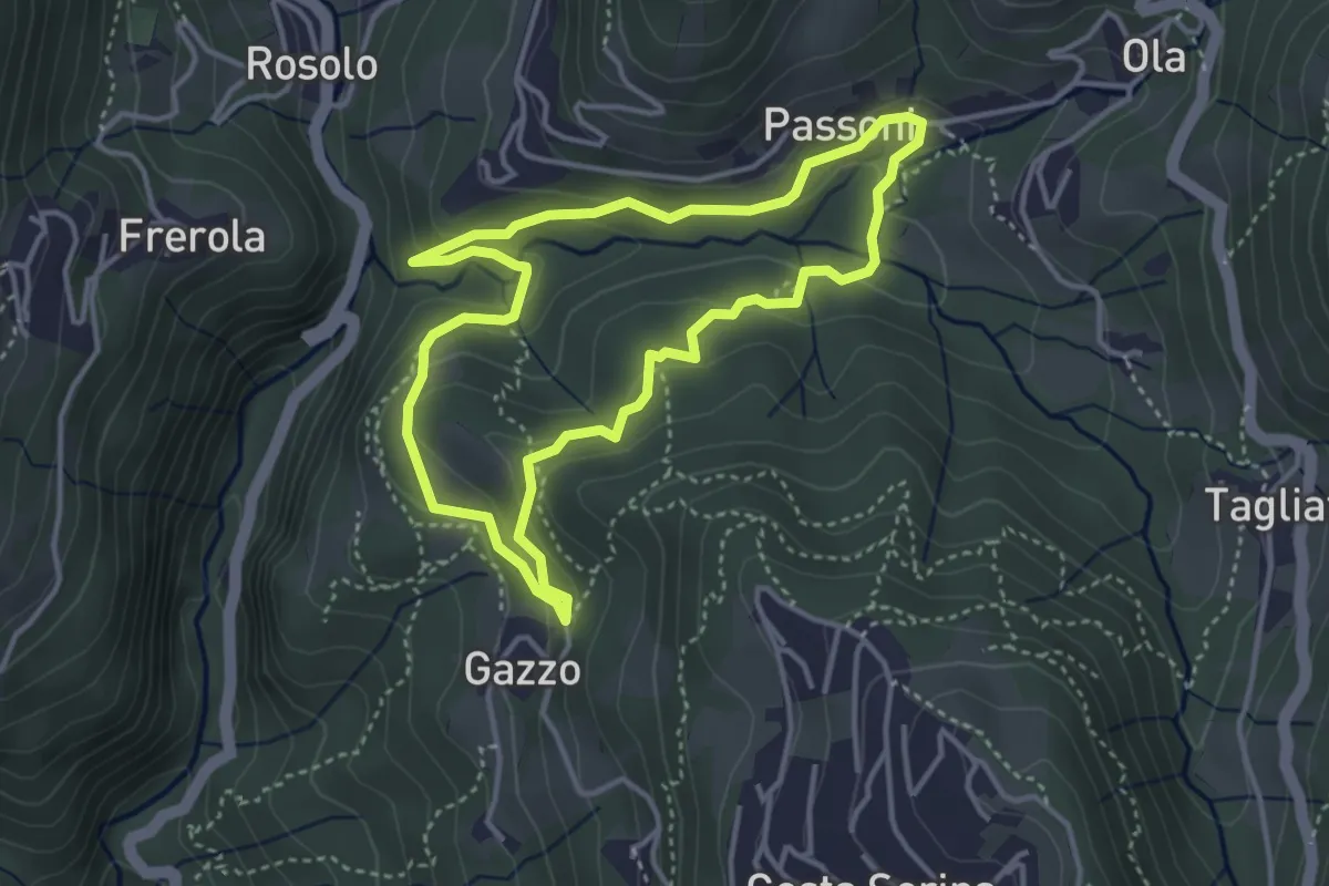
Medium · Trail
Sentiero Azzurro
3.6 km · ↑ 138 m · 1 h 12 min · 15 km away
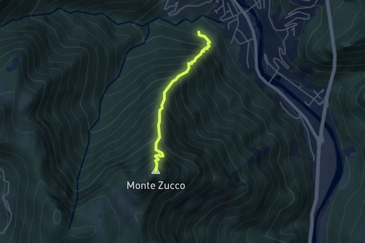
Expert · Summit
Sentiero Panoramico
3.2 km · ↑ 749 m · 2 h 23 min · 15 km away
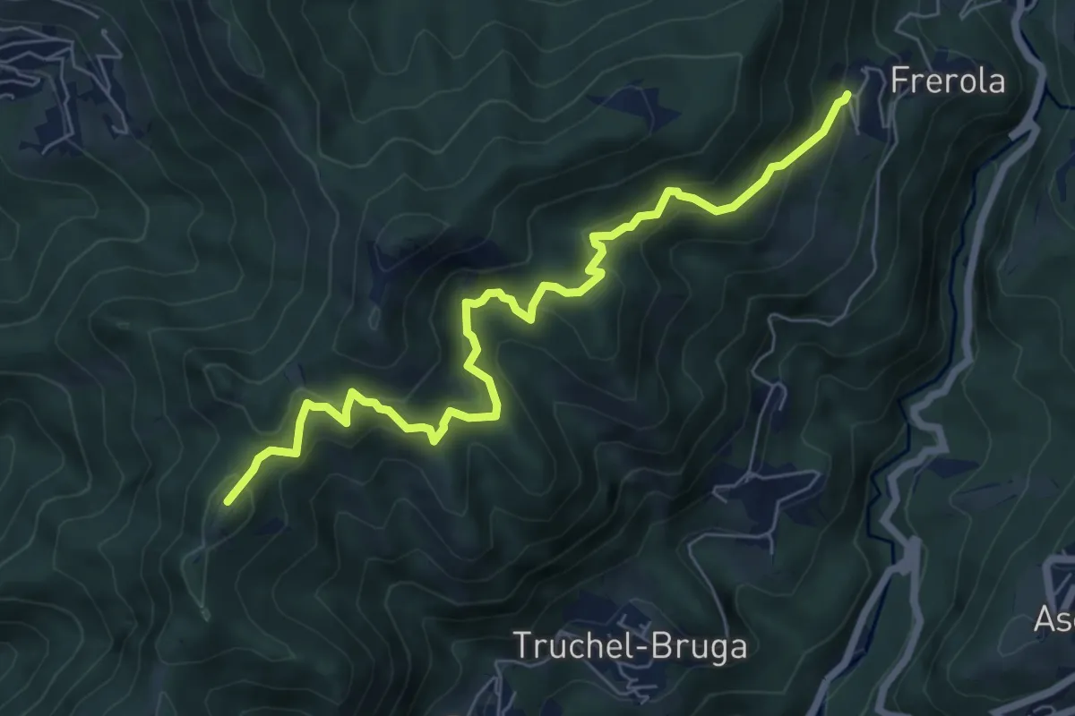
Medium · Summit
Frerola (Algua) – Bracca
7.2 km · ↑ 567 m · 2 h 56 min · 15 km away
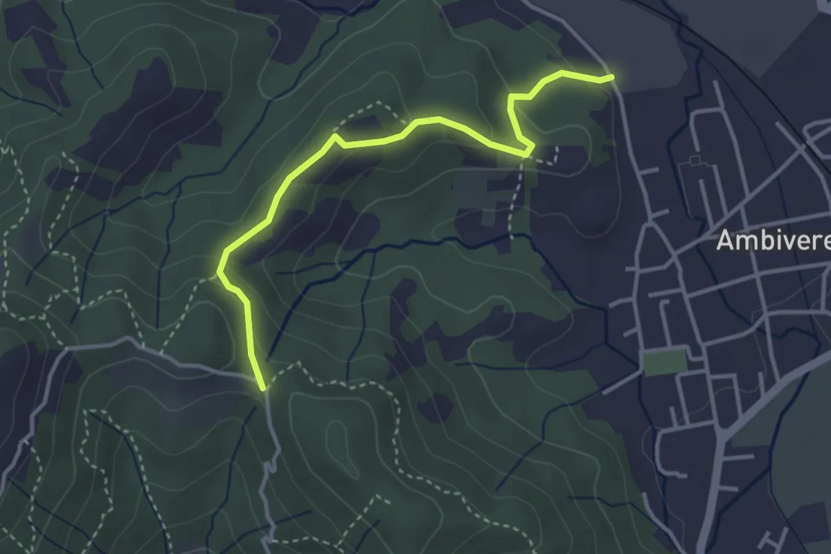
Easy · Trail
Ambivere – Chiesetta dei Cerri (incrocio 891)
3.4 km · ↑ 116 m · 1 h 3 min · 15 km away
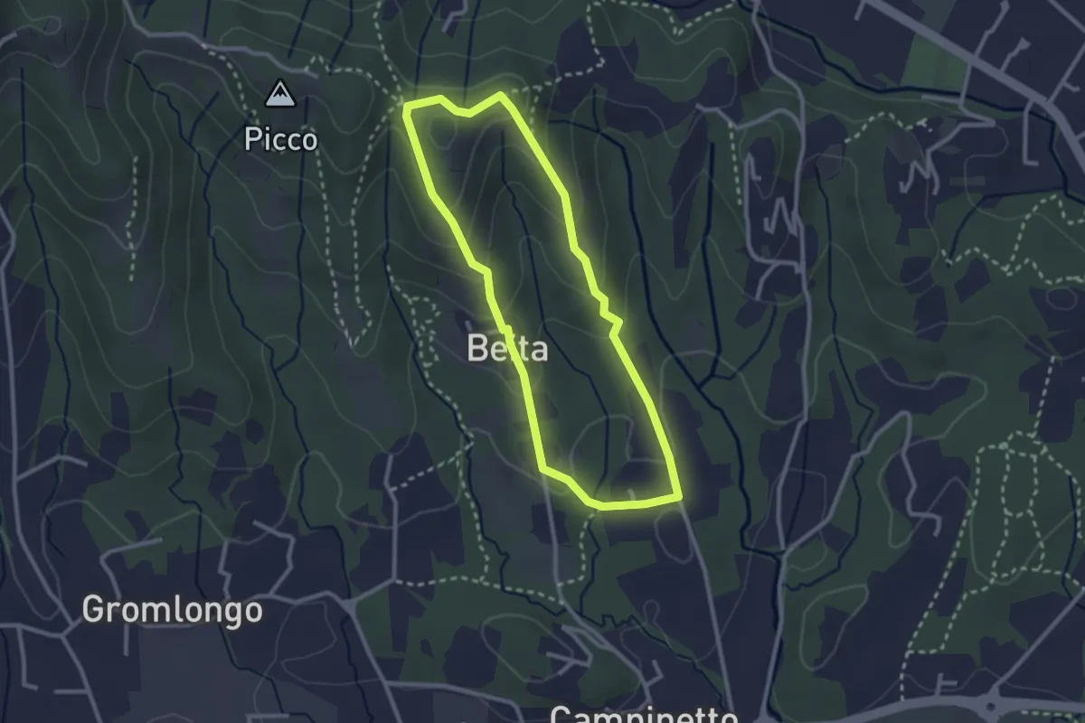
Easy · Summit
Beita - La Vena - Secchia
2.5 km · ↑ 116 m · 53 min · 15 km away
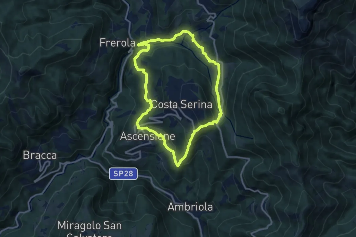
Medium · Trail
Sentiero Blu
7.8 km · ↑ 358 m · 2 h 44 min · 15 km away
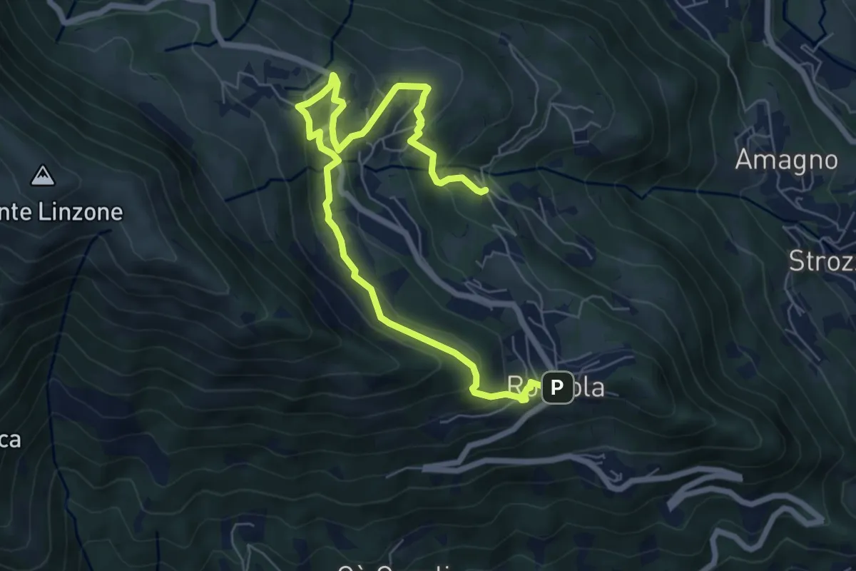
Medium · Trail
Sentiero dell'Acqua
8.4 km · ↑ 438 m · 2 h 56 min · 15 km away
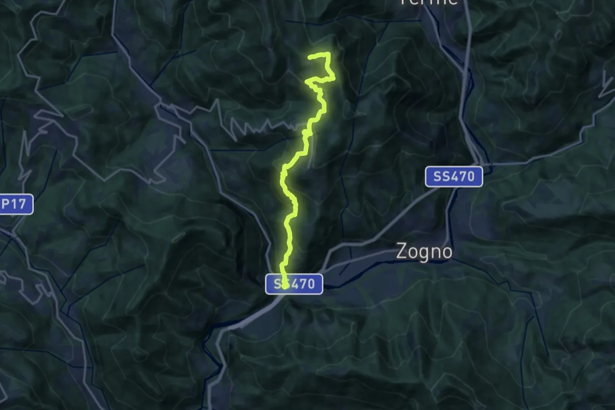
Demanding · Trail
Strada Taverna
13.8 km · ↑ 1035 m · 5 h 30 min · 15 km away