Trails near Sedico
68 hikes starting within 15 km, nearest first.
Nearest first, page 1 of 2
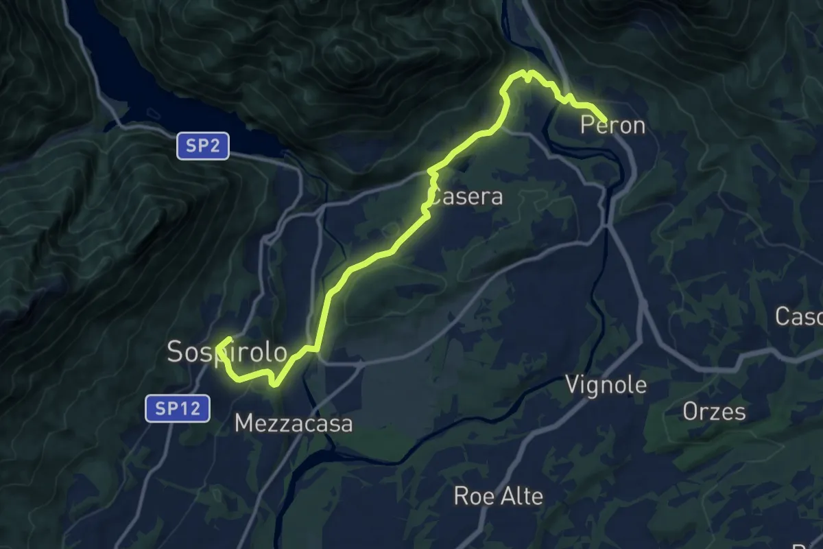
Easy · Pilgrim path
Cammino delle Dolomiti - Tappa 07a
6.8 km · ↑ 121 m · 2 h · 4 km away
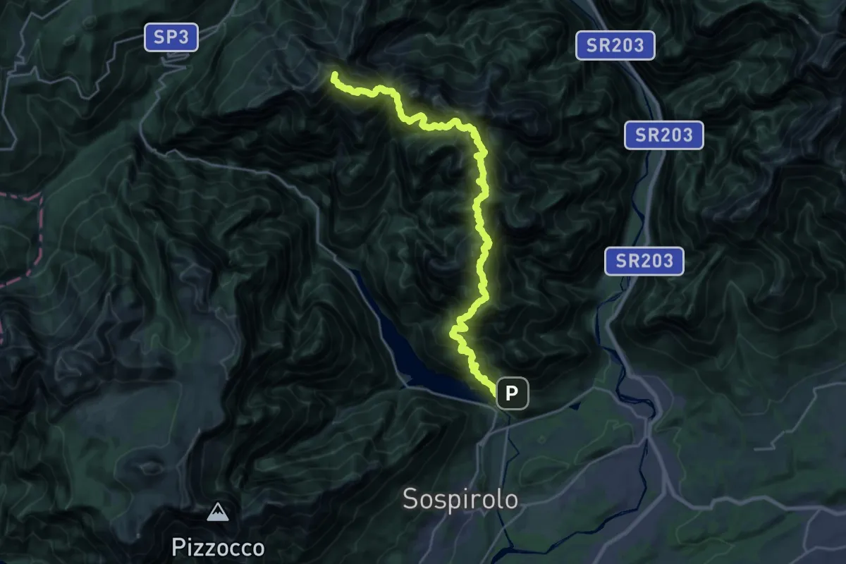
Expert · Summit
Alta Via dei Monti del Sole
26.0 km · ↑ 5219 m · 17 h 27 min · 6 km away
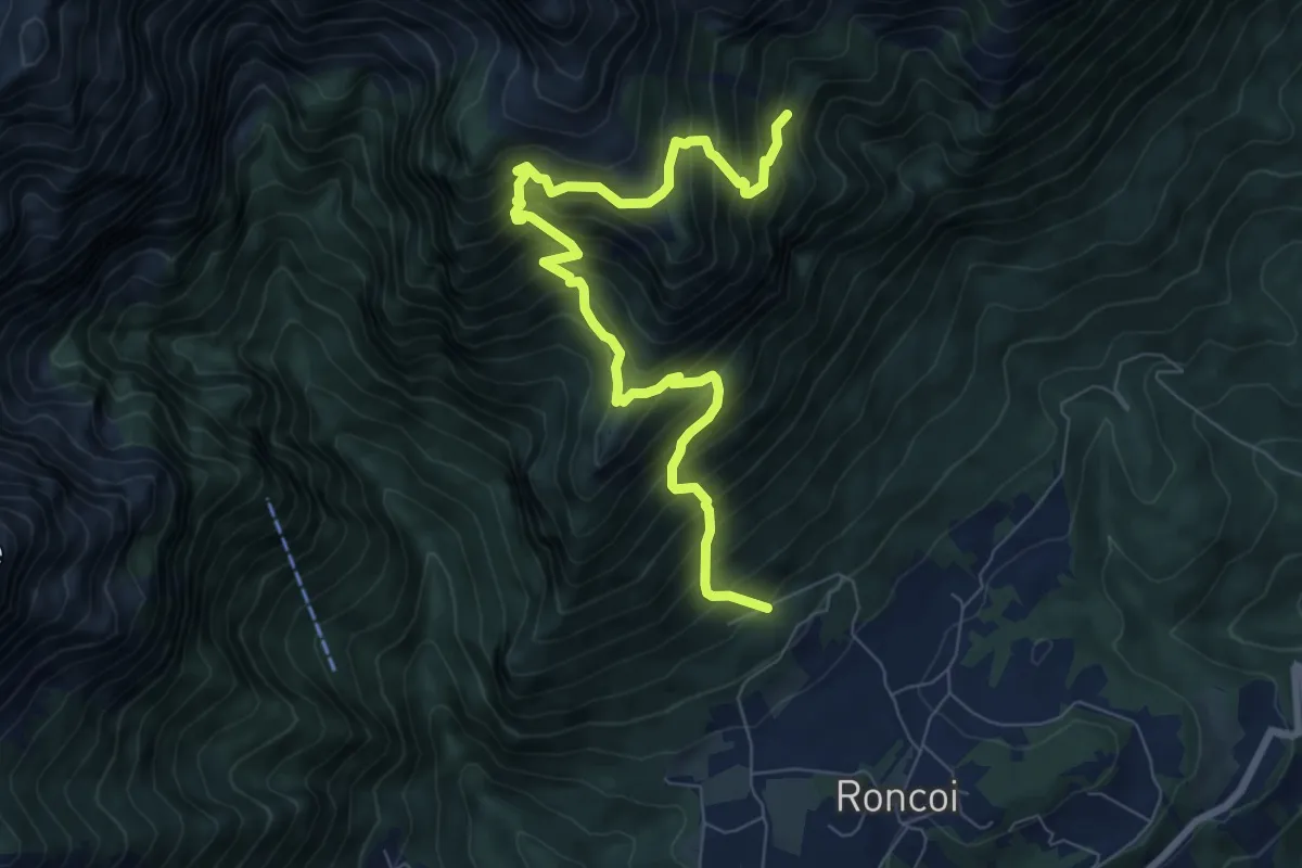
Demanding · Trail
Roncoi - Staolet – dopo Biv. Palia - innesto sentiero 851
8.9 km · ↑ 1199 m · 4 h 42 min · 6 km away
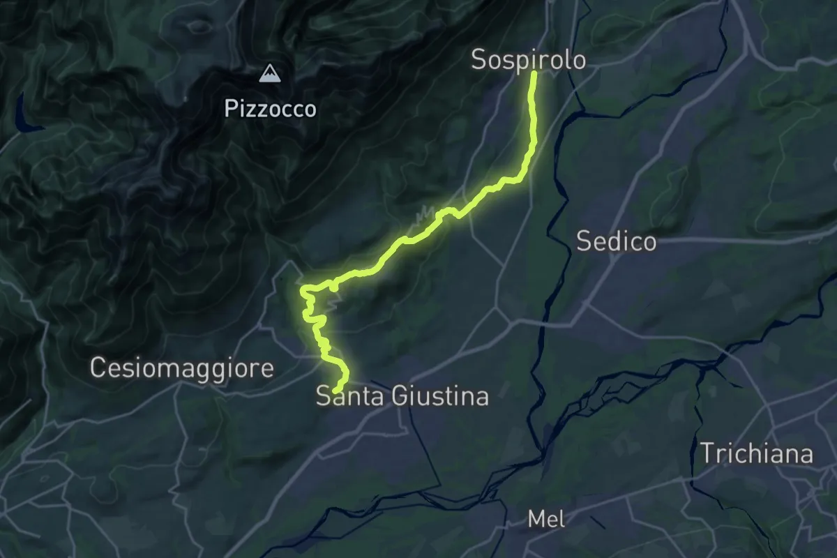
Medium · Pilgrim path
Cammino delle Dolomiti - Tappa 06
11.1 km · ↑ 303 m · 3 h 24 min · 6 km away
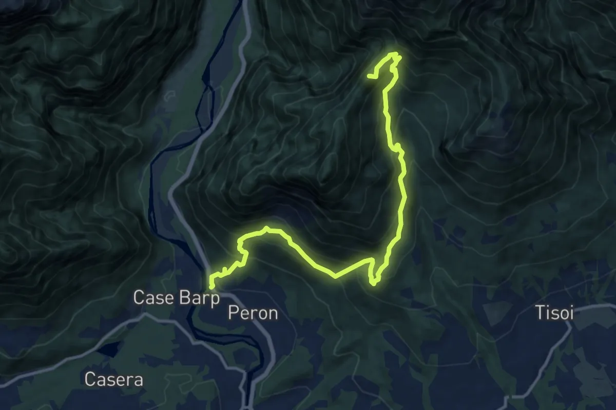
Demanding · Summit
Sentiero tematico delle chiesette pedemontane
12.8 km · ↑ 1120 m · 5 h 27 min · 6 km away
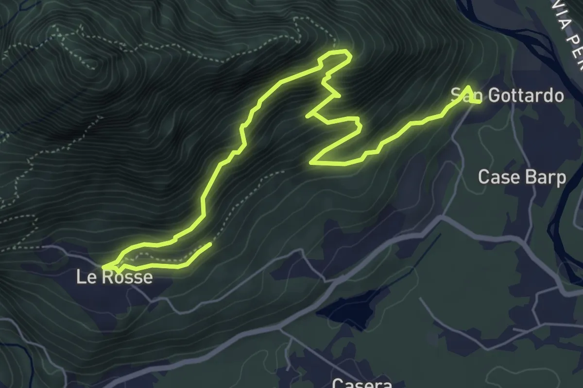
Medium · Trail
Sentiero Olivo Troian
7.9 km · ↑ 727 m · 3 h 26 min · 6 km away
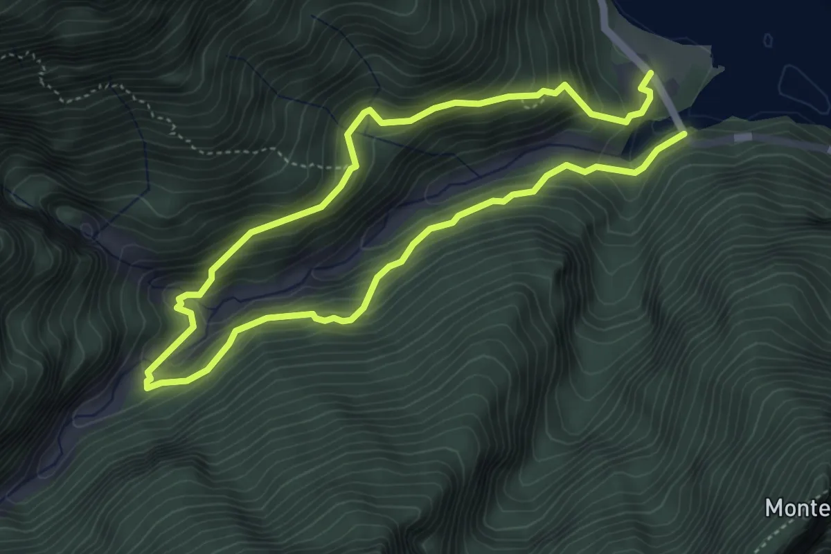
Medium · Trail
Sentiero Natura Val Falcina
7.8 km · ↑ 702 m · 3 h 22 min · 7 km away
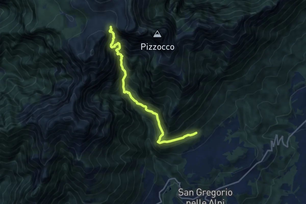
Demanding · Trail
Roncoi-Staolet – Passo Forca - innesto sentiero 851
10.5 km · ↑ 1462 m · 5 h 39 min · 9 km away
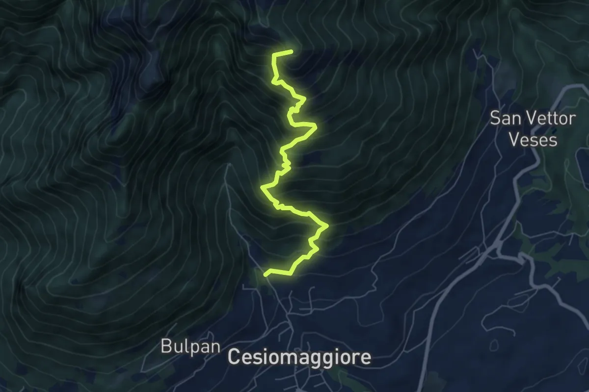
Demanding · Summit
Sentiero Escursionistico Corrado De Bastiani
6.7 km · ↑ 905 m · 3 h 32 min · 9 km away
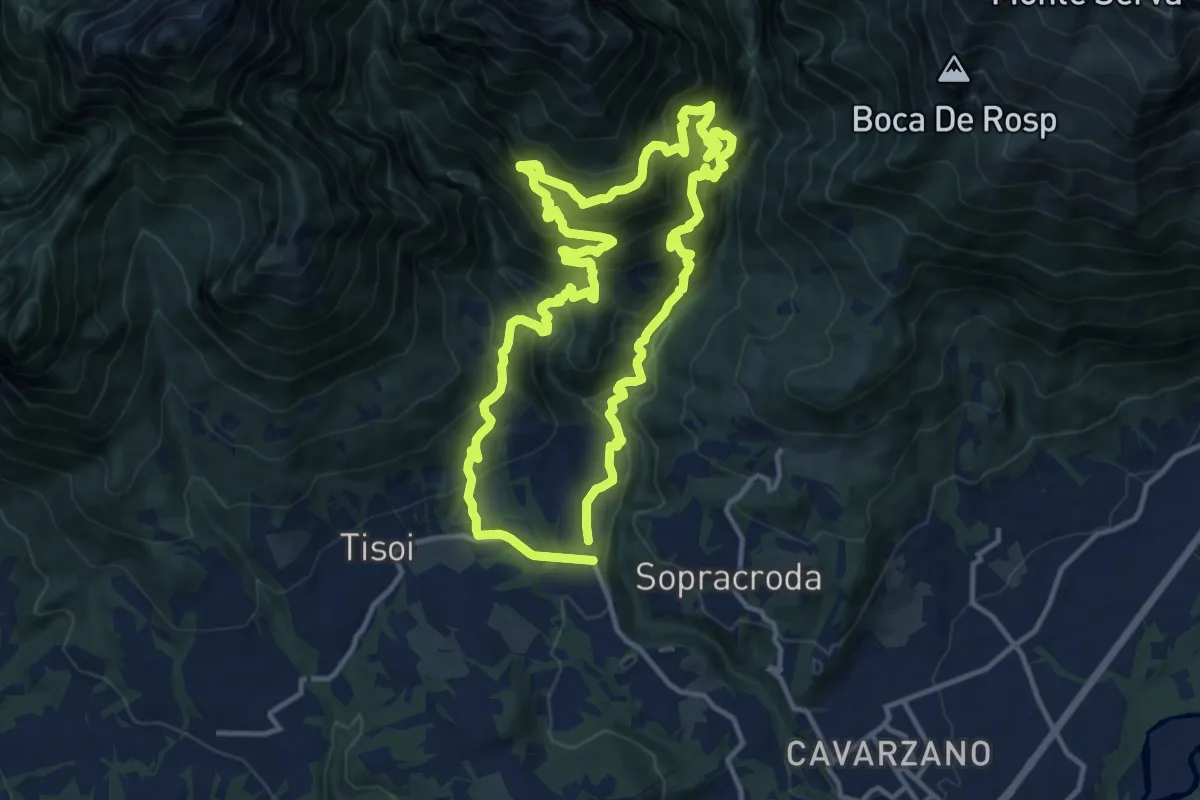
Demanding · Summit
La Velenosa
12.7 km · ↑ 1128 m · 5 h 37 min · 9 km away
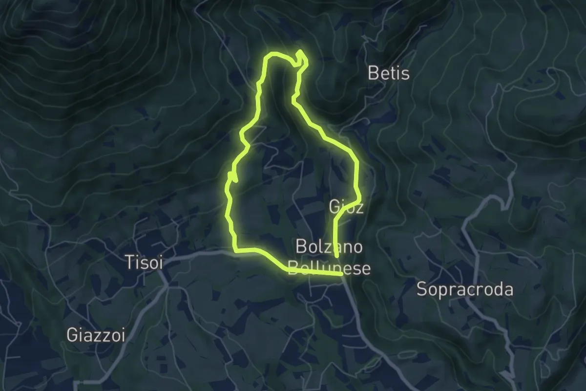
Easy · Trail
La Velenosetta
5.0 km · ↑ 235 m · 1 h 45 min · 9 km away
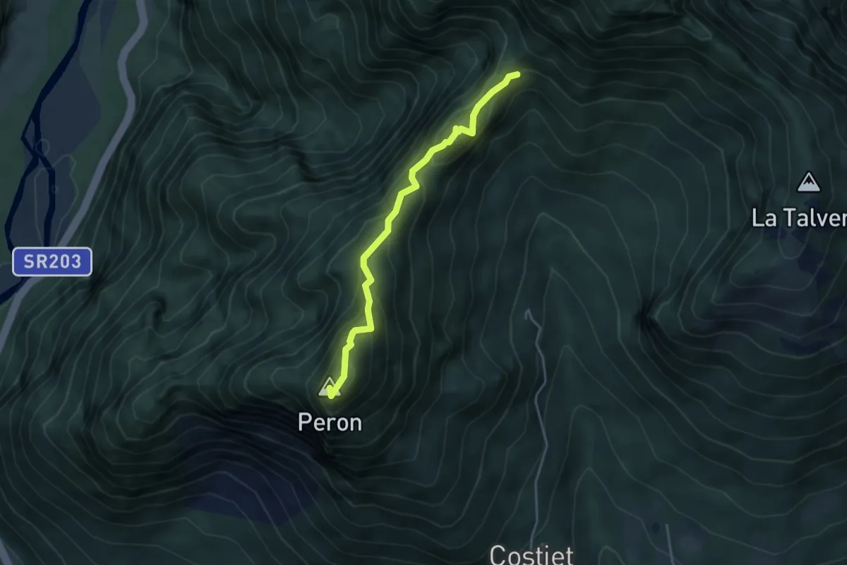
Demanding · Summit
Forcella San Giorgio – Monte Peron
3.7 km · ↑ 354 m · 1 h 39 min · 9 km away
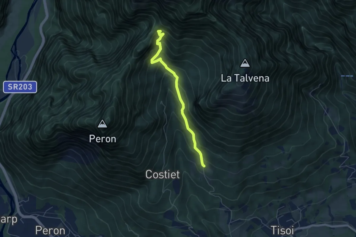
Medium · Trail
Casera Zoppa – Forcella San Giorgio
5.1 km · ↑ 432 m · 2 h 8 min · 9 km away
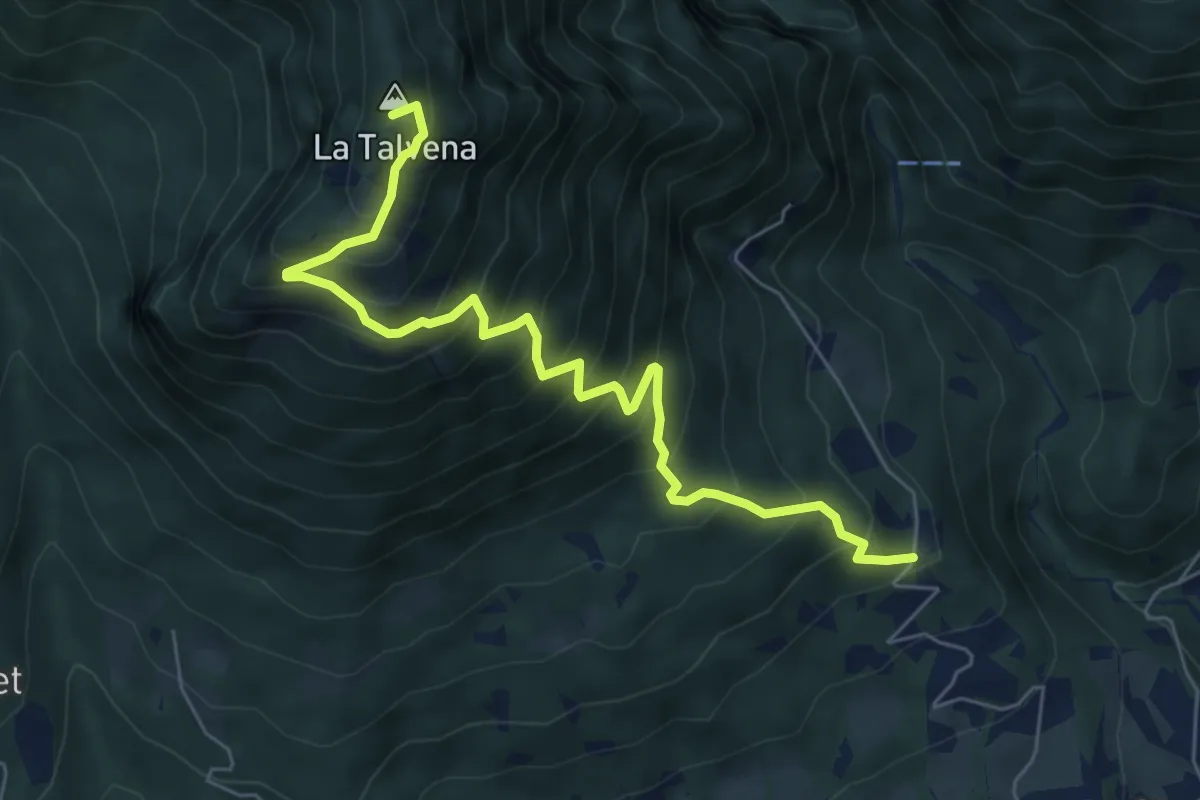
Demanding · Summit
Pascoli - Case Tovena – Pian de Regnac - inn. sent. 510
6.8 km · ↑ 788 m · 3 h 19 min · 9 km away
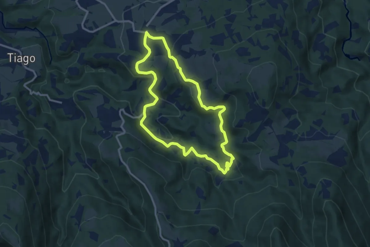
Easy · Trail
Giro di Paltrac
7.4 km · ↑ 218 m · 2 h 19 min · 10 km away
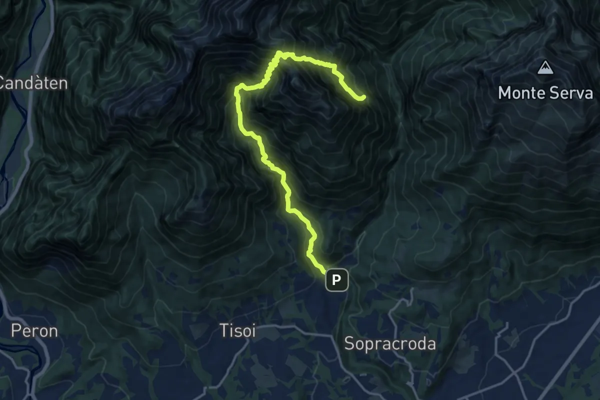
Demanding · Summit
Bolzano B. Goiz/Colover – dopo Case Bortot-Maone - innesto sentiero 501
14.9 km · ↑ 1887 m · 7 h 36 min · 10 km away
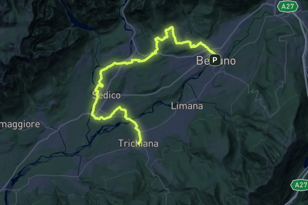
Demanding · Pilgrim path
Cammino delle Dolomiti - Tappa 29
29.5 km · ↑ 476 m · 8 h 26 min · 10 km away
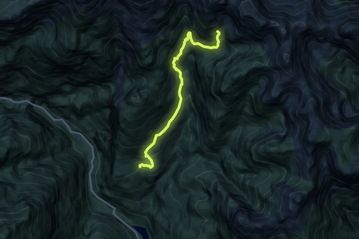
Demanding · Cabin
Gena Alta – Bivacco Valdo
7.5 km · ↑ 972 m · 3 h 53 min · 10 km away
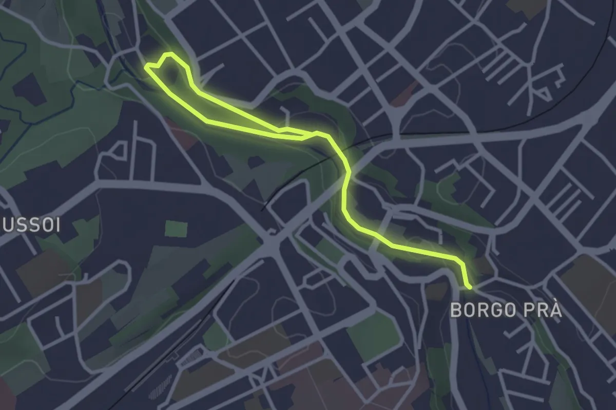
Easy · Trail
Sentiero dell'Ardo
3.7 km · ↑ 74 m · 1 h 2 min · 10 km away
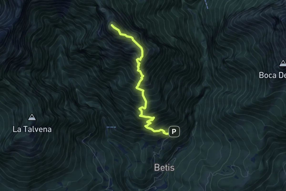
Demanding · Summit
Bolzano B. - Case Bortot – Monte terne o Zimon di Terne
7.3 km · ↑ 1095 m · 4 h 5 min · 11 km away
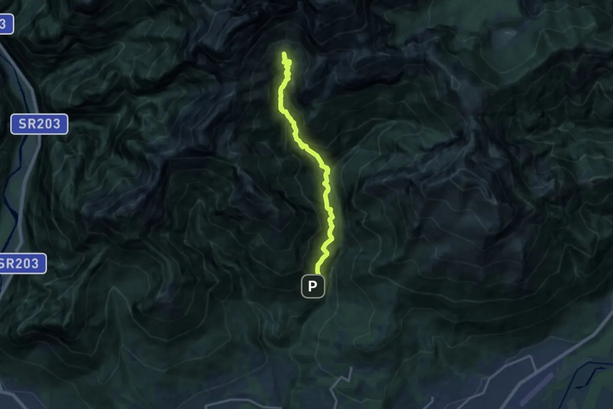
Demanding · Cabin
Bolzano B. - Case Bortot – Rifugio VII° Alpini - Pis Pilon
11.6 km · ↑ 1645 m · 6 h 18 min · 11 km away
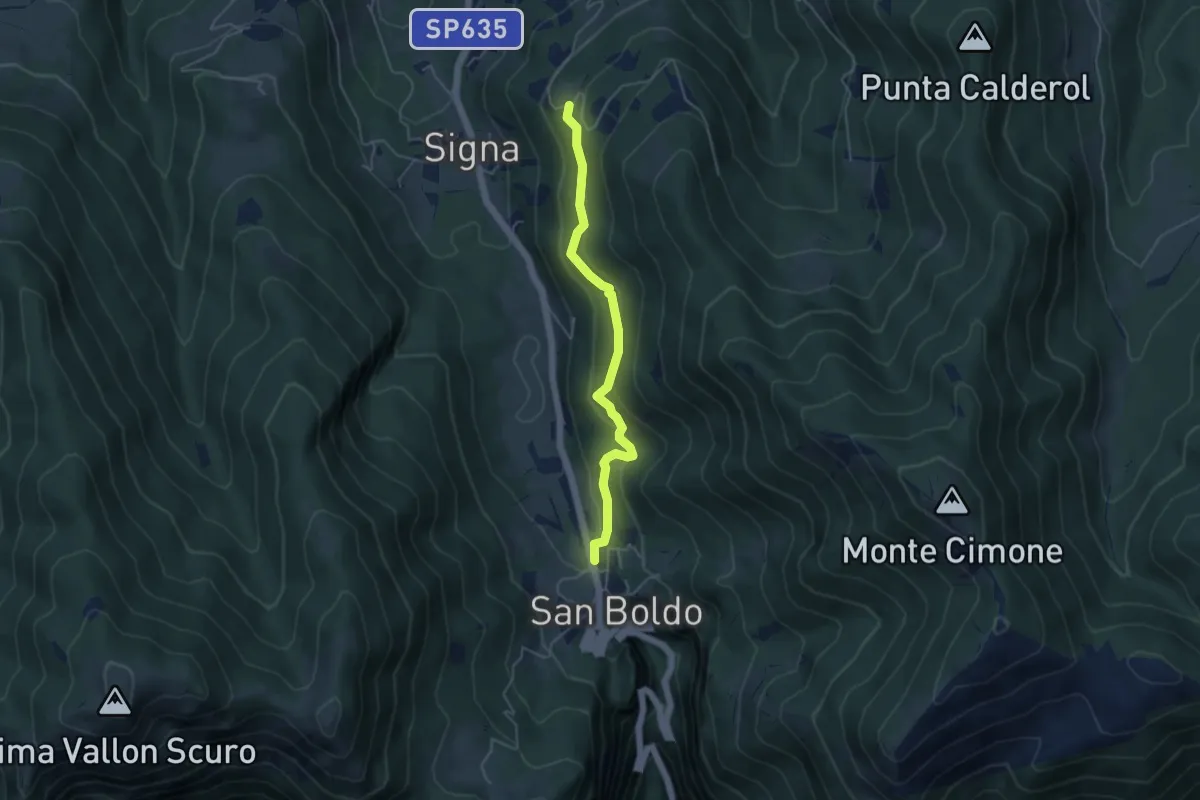
Easy · Trail
Troi de Lont
4.5 km · ↑ 230 m · 1 h 33 min · 11 km away
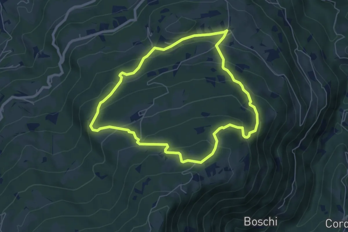
Easy · Trail
sentiero natura San Gervasio e Pian de Coltura
5.6 km · ↑ 315 m · 2 h 5 min · 11 km away
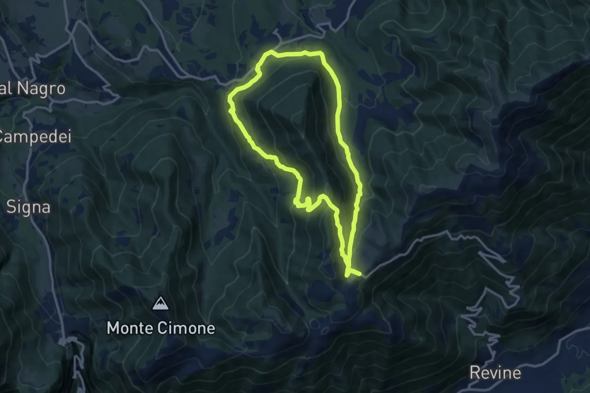
Medium · Trail
Anello sui luoghi della Resistenza
10.2 km · ↑ 457 m · 3 h 33 min · 11 km away
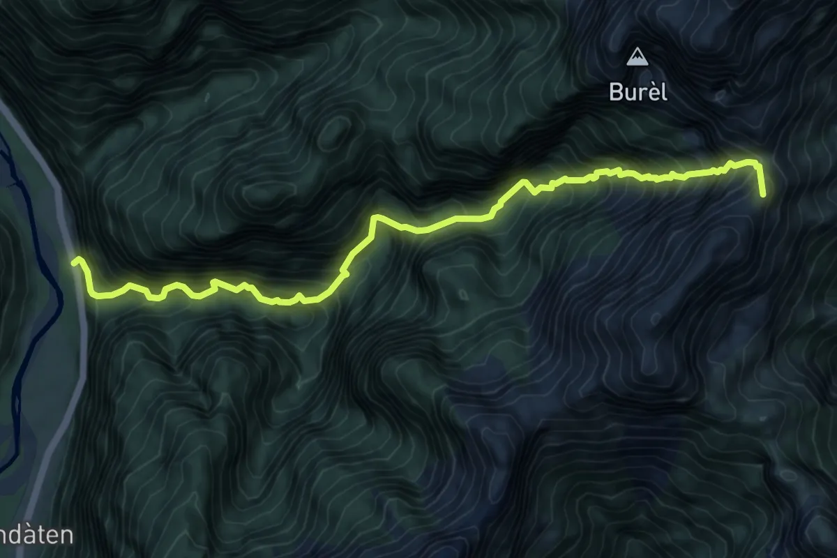
Demanding · Summit
Rifugio 7° Alpini Pis Pilon – La Stanga
9.5 km · ↑ 1669 m · 5 h 52 min · 12 km away
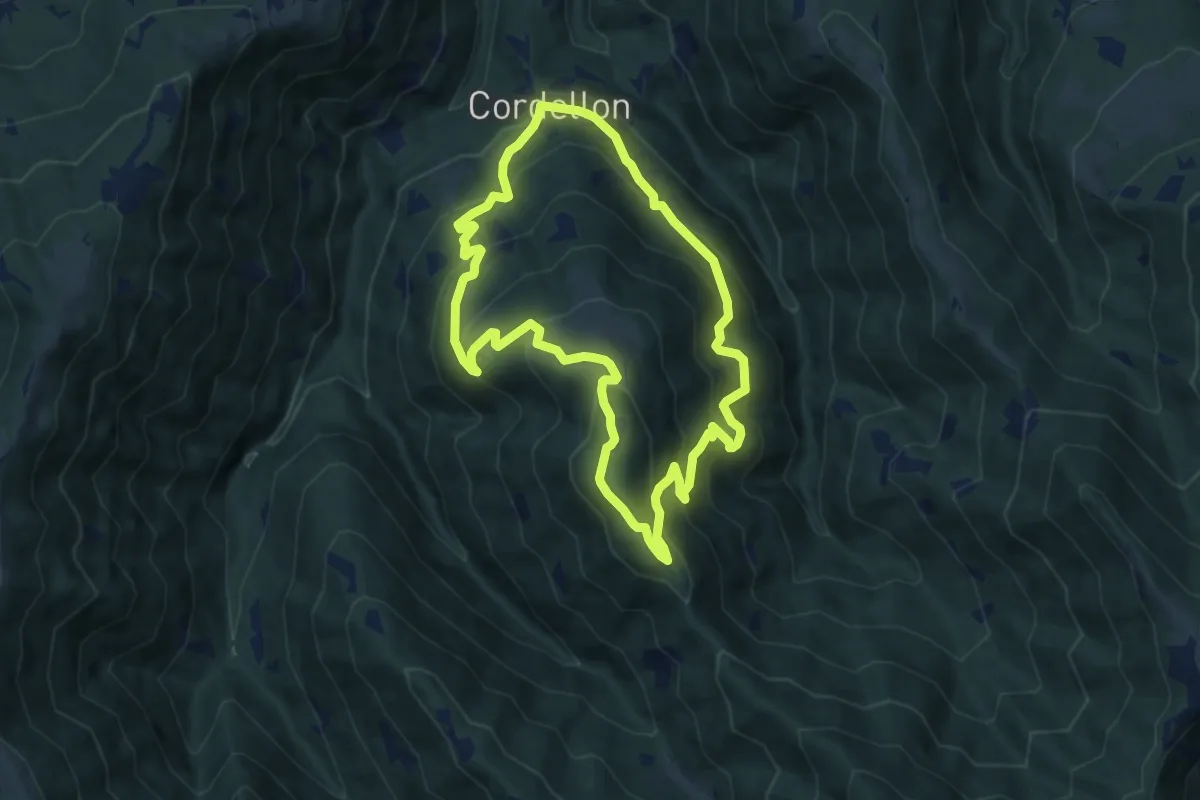
Medium · Summit
Cordellon – Cordellon
8.3 km · ↑ 644 m · 3 h 28 min · 12 km away
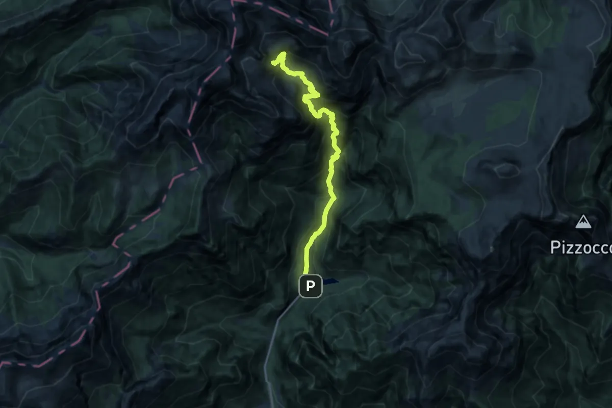
Demanding · Trail
Val Canzoi - Lago della Stua – Cresta Col del Mul - innesto sentiero 801
12.8 km · ↑ 1403 m · 6 h 3 min · 12 km away
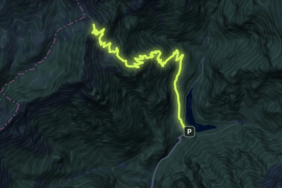
Demanding · Summit
Val Canzoi - Lago della Stua – Rifugio Boz
13.1 km · ↑ 1354 m · 6 h 2 min · 12 km away
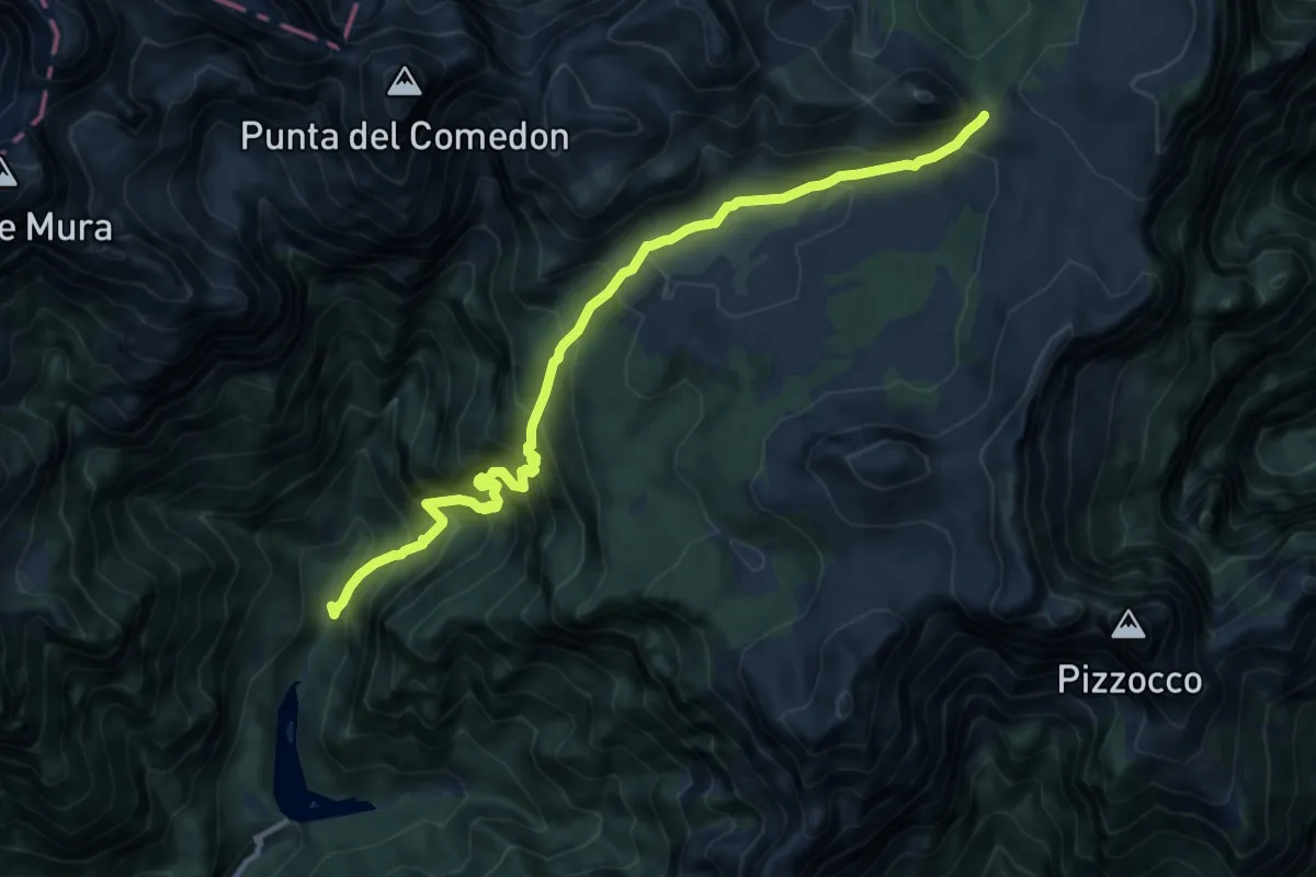
Demanding · Trail
La Stua - Frassen - da sent.806 – Forcella Pelse - confine C.M.
12.2 km · ↑ 1272 m · 5 h 39 min · 12 km away
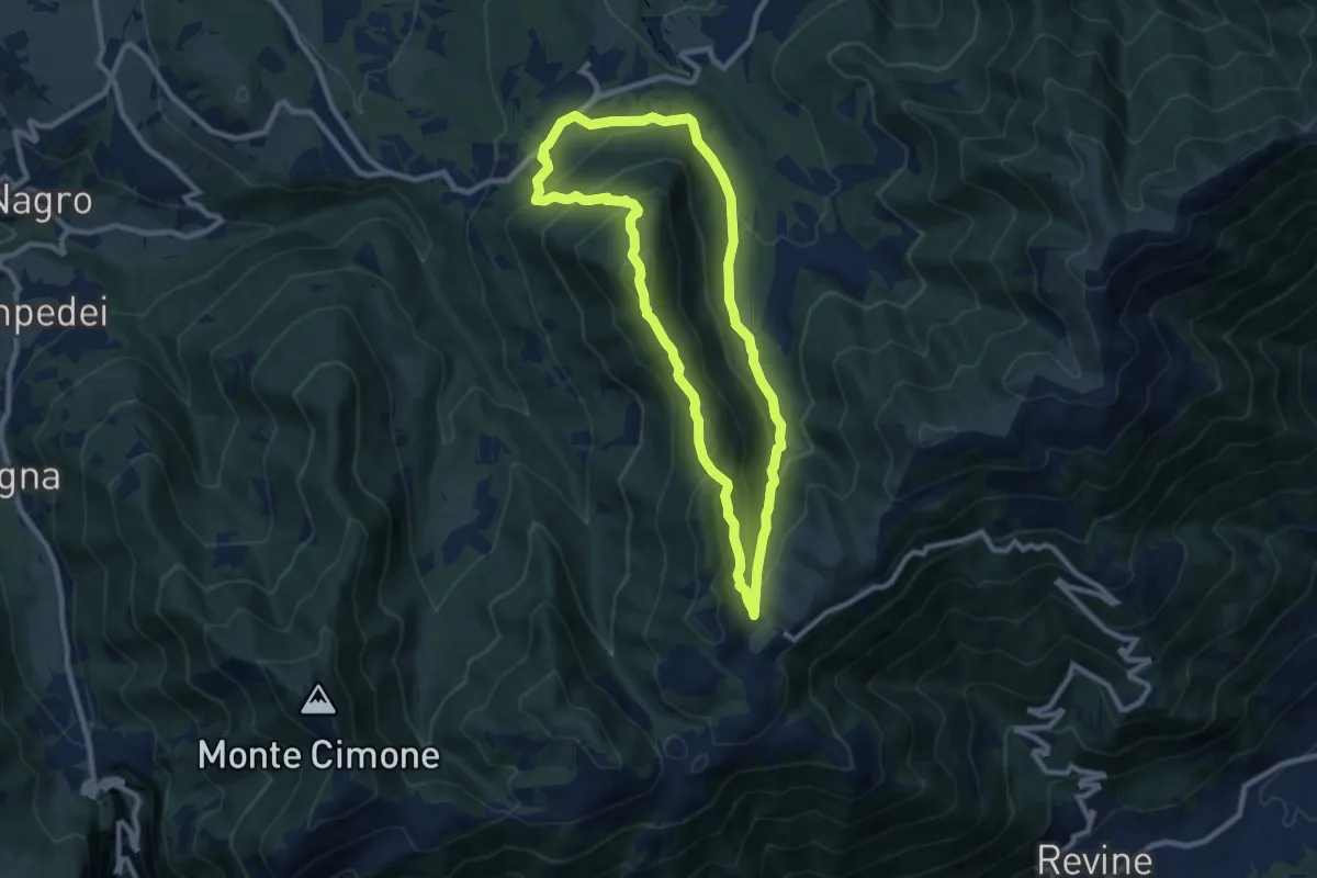
Medium · Summit
Anello Monte Frontal del "Cacciatore"
8.5 km · ↑ 463 m · 3 h 8 min · 12 km away
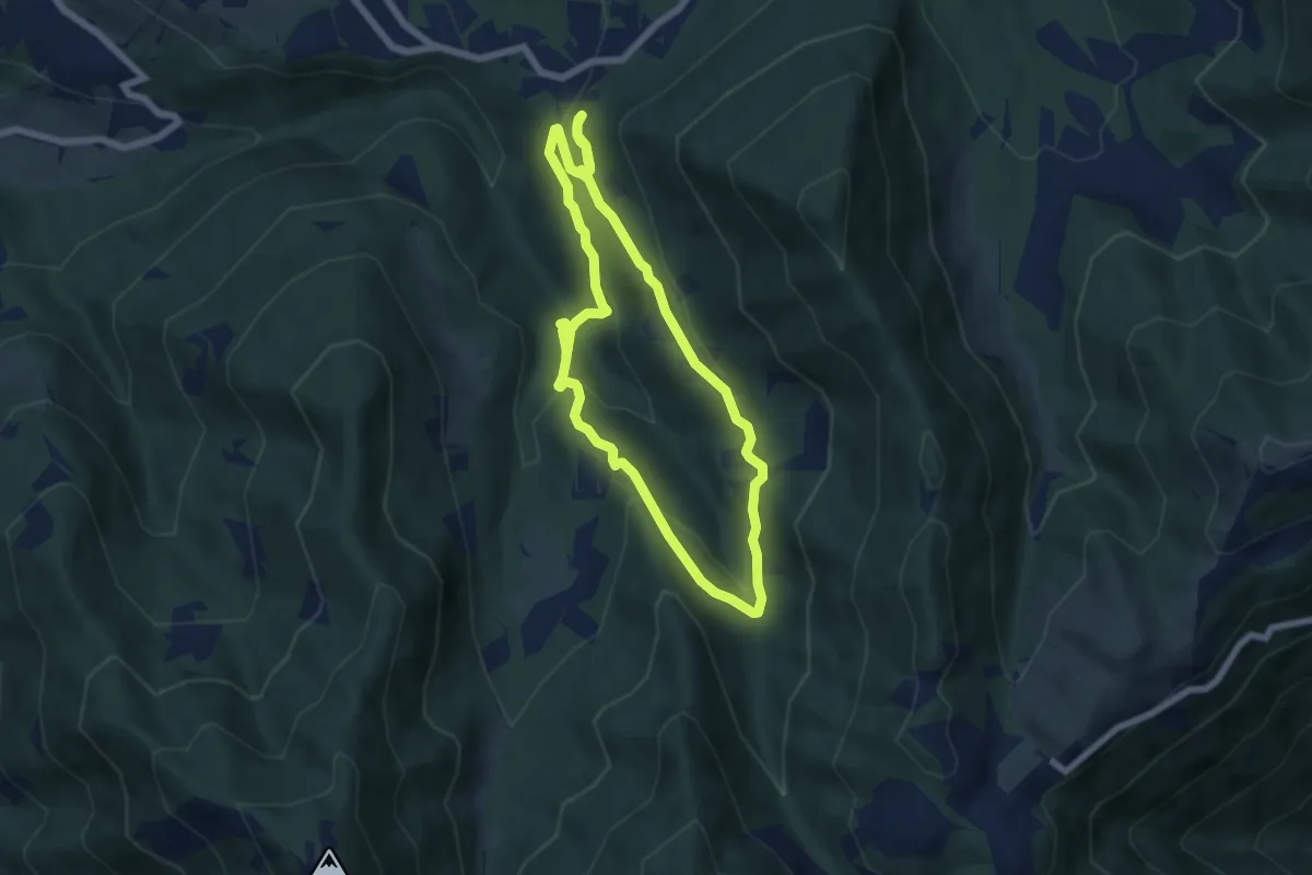
Medium · Trail
Anello Cascata del Bognon
5.9 km · ↑ 255 m · 2 h 3 min · 12 km away
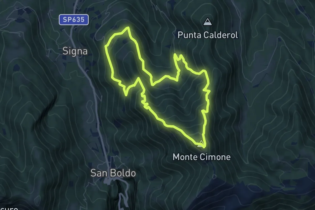
Medium · Summit
Anello Monte Cimone - Val de Scroa
7.7 km · ↑ 573 m · 3 h 10 min · 12 km away
Demanding · Trail
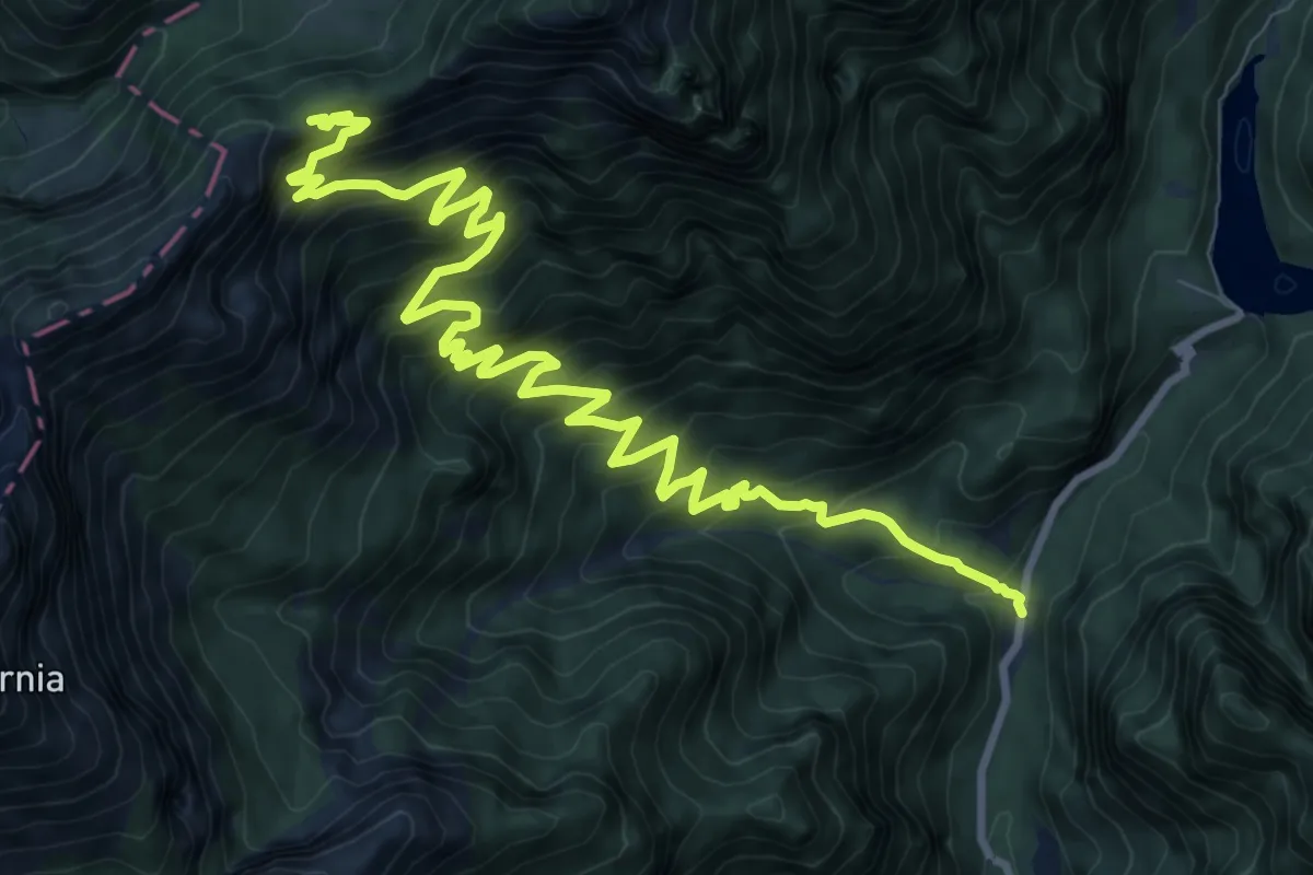
Val Canzoi - centrale Enel – Passo Finestra - innesto percorso 801
13.0 km · ↑ 1193 m · 5 h 40 min · 12 km away
Demanding · Summit
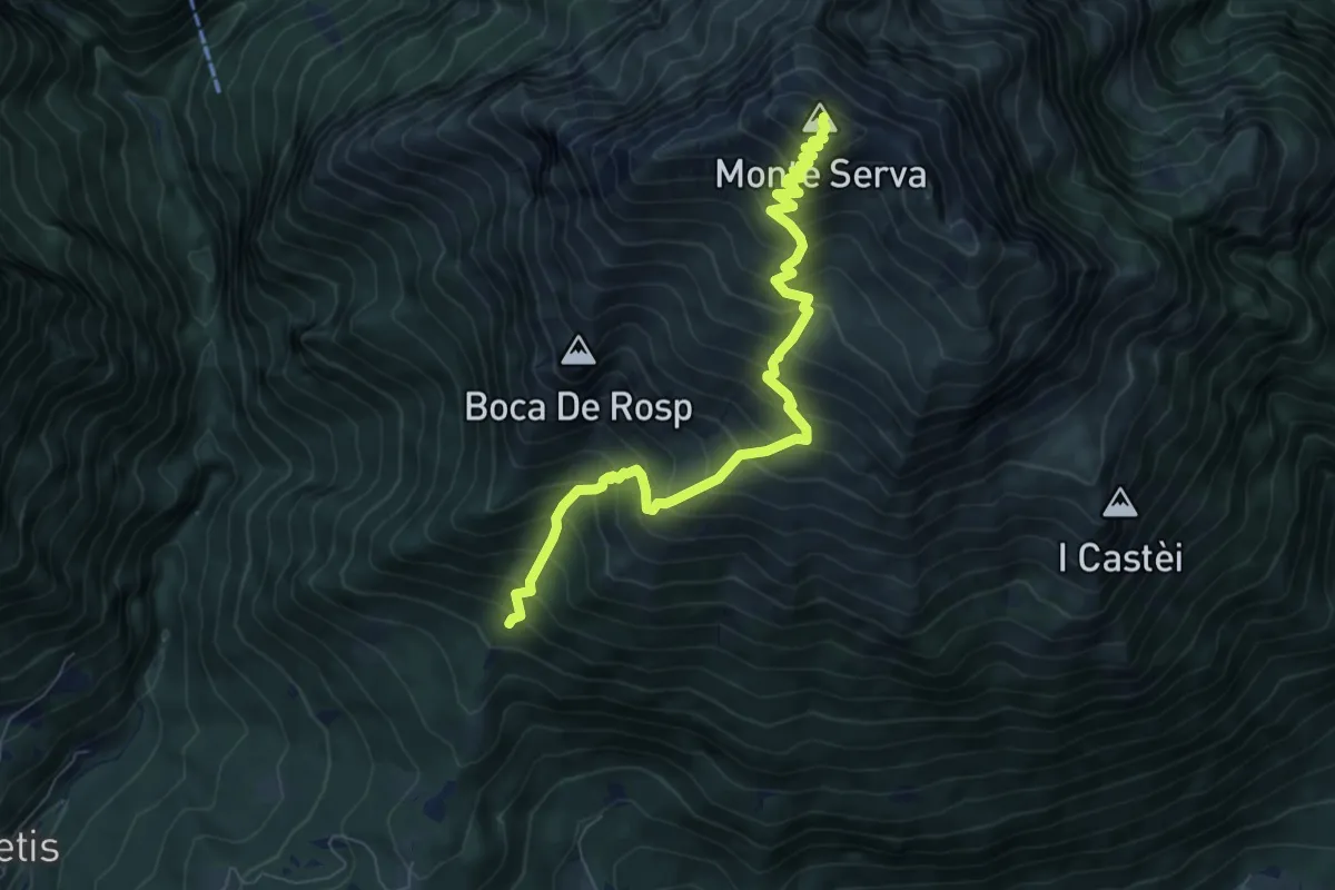
Col di Roanza - Cargador – Monte Serva
7.7 km · ↑ 1054 m · 4 h 7 min · 12 km away
Demanding · Trail
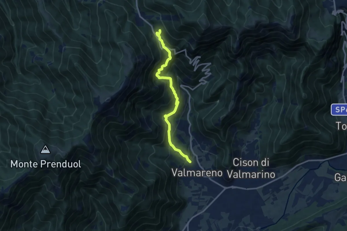
Valmareno Località Peroz – Praderadego
9.1 km · ↑ 841 m · 3 h 58 min · 12 km away
Medium · Trail
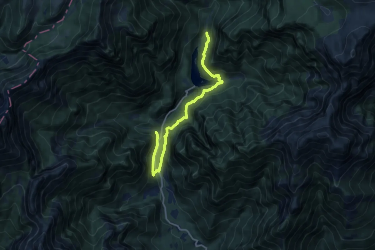
Sentiero Natura Val Canzoi
10.1 km · ↑ 600 m · 3 h 42 min · 12 km away
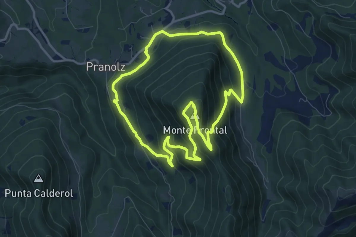
Medium · Summit
Anello Spelonca di Frontal
8.0 km · ↑ 496 m · 3 h 5 min · 12 km away
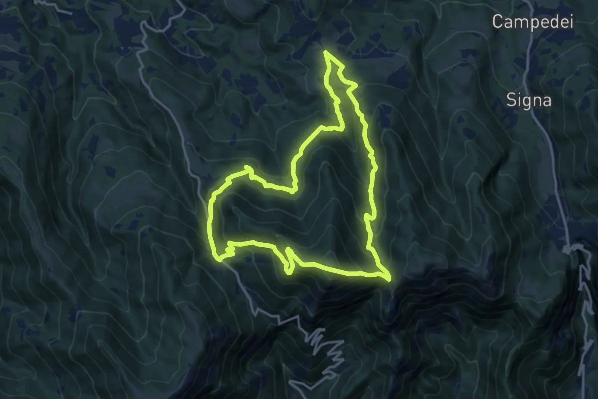
Medium · Summit
Anello di Col De Moi
12.2 km · ↑ 786 m · 4 h 45 min · 13 km away
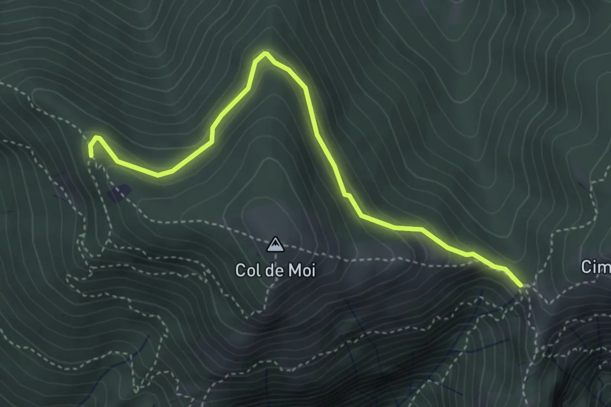
Easy · Trail
Anello Col De Moi (variante)
4.1 km · ↑ 187 m · 1 h 22 min · 13 km away
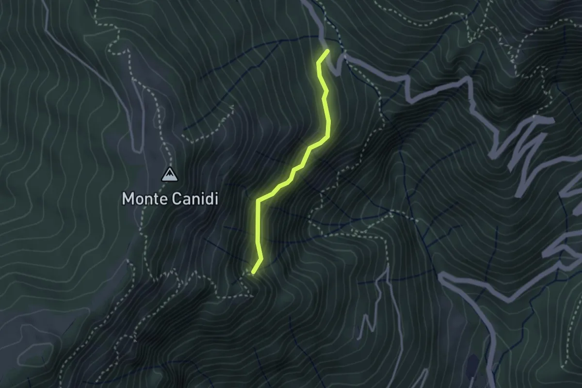
Medium · Trail
Troi del Pindol
2.3 km · ↑ 262 m · 1 h 7 min · 13 km away
Medium · Trail
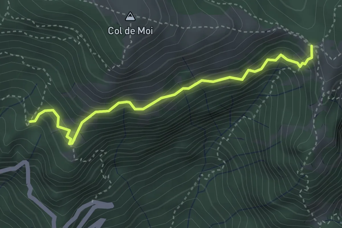
Sentiero CAI 991 presso "La Panchina" – Forcella Foran
3.3 km · ↑ 452 m · 1 h 45 min · 13 km away
Demanding · Trail
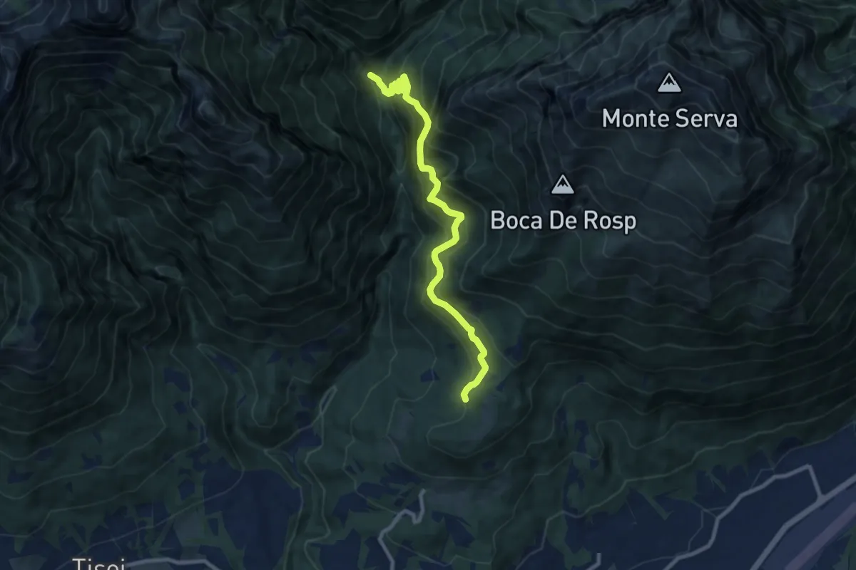
nei pressi Col Roanza – Ponte Mariano - innesto sentiero 501
9.0 km · ↑ 977 m · 4 h 15 min · 13 km away
Demanding · Trail
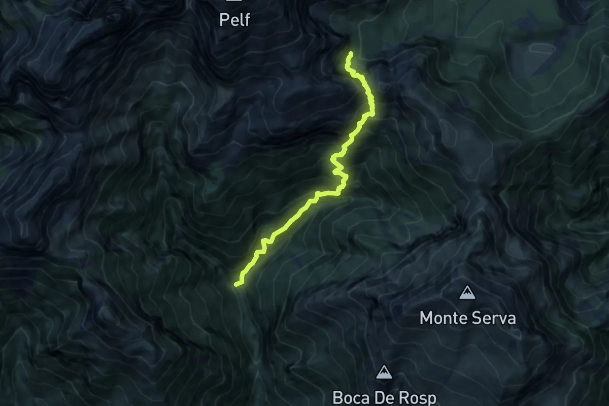
Caiada/Canevon - da sent. 505 – Ponte del Mariano
8.4 km · ↑ 1253 m · 4 h 42 min · 13 km away
Demanding · Summit
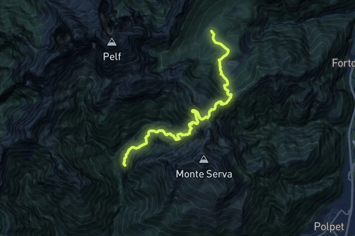
Pian de Caiada - da percorso 505 – sopra P. Mariano (ultimo tornante) - da percorso 519
16.8 km · ↑ 1655 m · 7 h 33 min · 13 km away
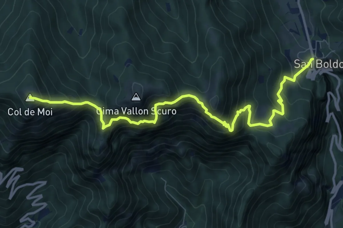
Demanding · Summit
Passo Praderadego – Passo Scaletta (Passo S. Boldo)
10.5 km · ↑ 1004 m · 4 h 40 min · 13 km away
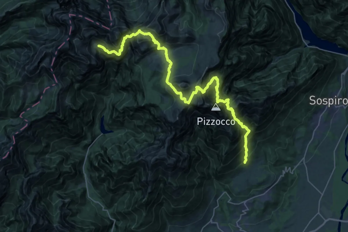
Expert · Trail
Roncoi - Roer – Casera Cimonega - innesto sentiero 806
15.6 km · ↑ 1622 m · 7 h 51 min · 13 km away
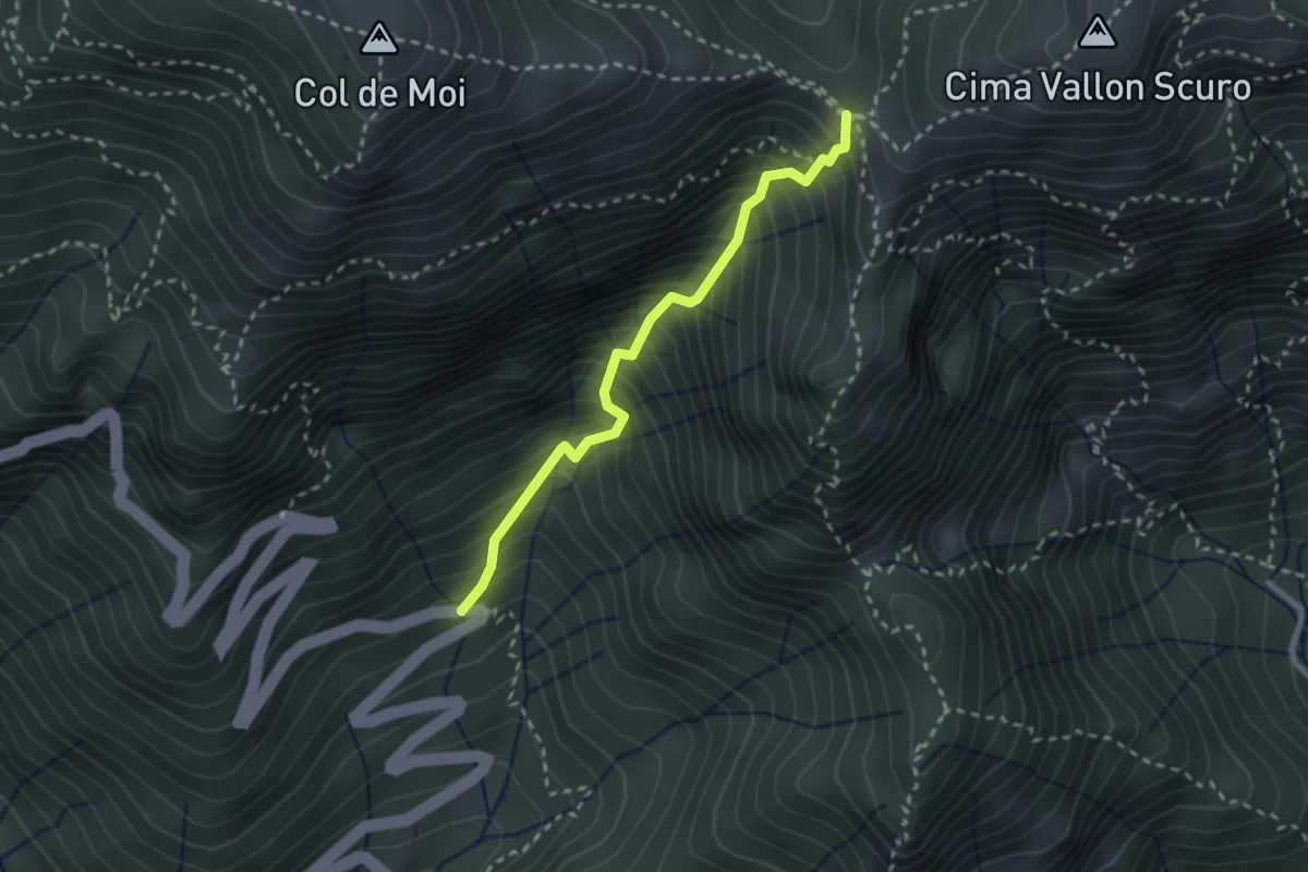
Medium · Trail
Via Corin (settimo tornante) – Forcella Foran
2.5 km · ↑ 499 m · 1 h 40 min · 13 km away
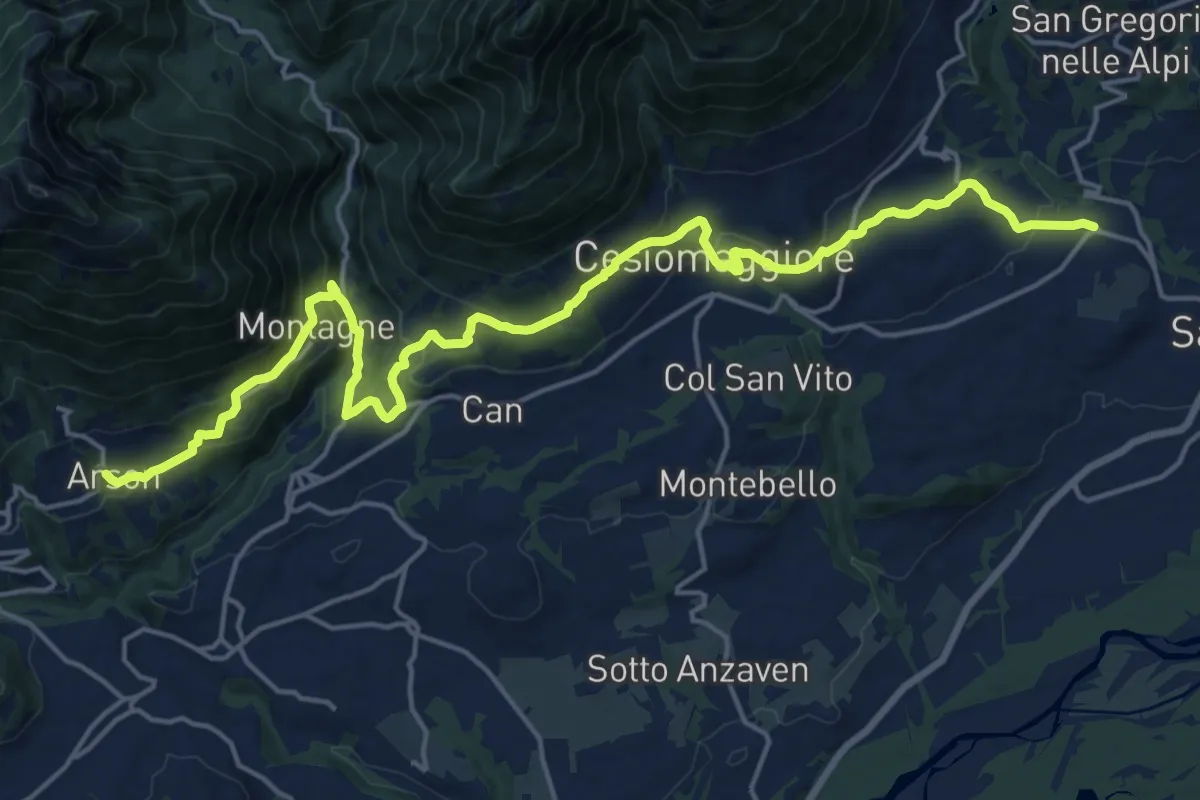
Medium · Pilgrim path
Cammino delle Dolomiti - Tappa 05
11.1 km · ↑ 358 m · 3 h 38 min · 13 km away