Trails near Sedico
68 hikes starting within 15 km, nearest first.
Nearest first, page 2 of 2
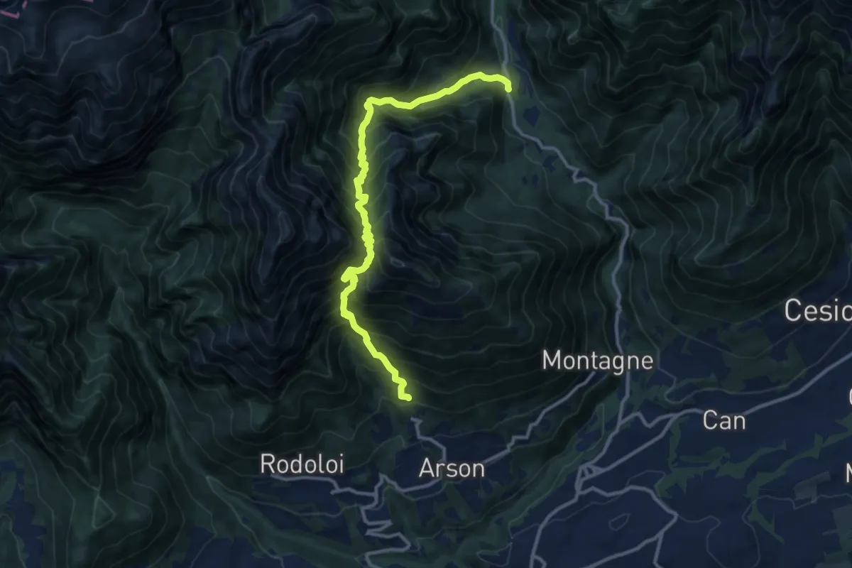
Demanding · Trail
Arsòn ‐ Case al Zot – Val Canzoi ‐ Fràina Bassa ‐ Agrit. Orsèra
12.0 km · ↑ 1600 m · 6 h 18 min · 14 km away
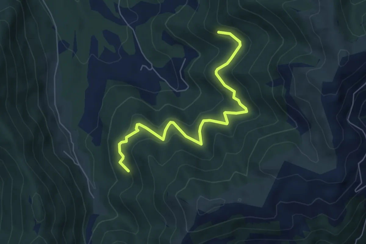
Medium · Trail
da sentiero 2202 quota 1108 – innesto sentiero 2204
6.1 km · ↑ 415 m · 2 h 20 min · 14 km away
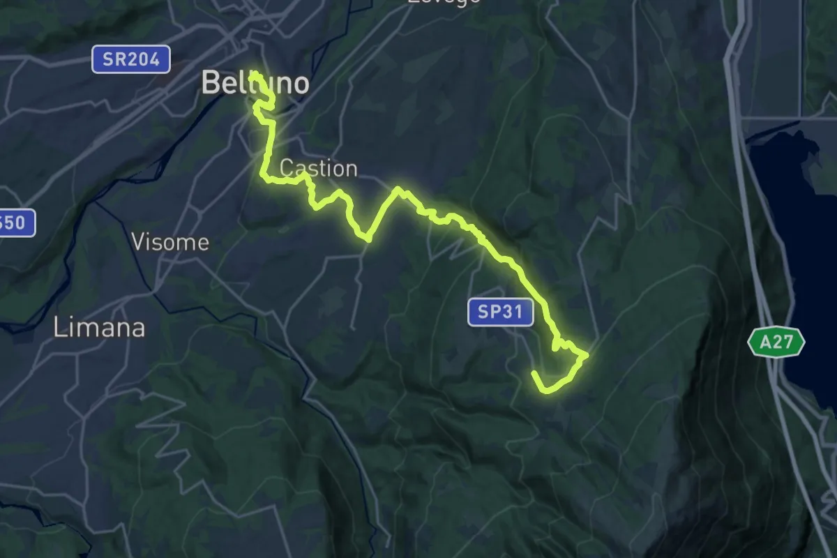
Medium · Pilgrim path
Cammino delle Dolomiti - Tappa 28
12.4 km · ↑ 196 m · 3 h 50 min · 14 km away
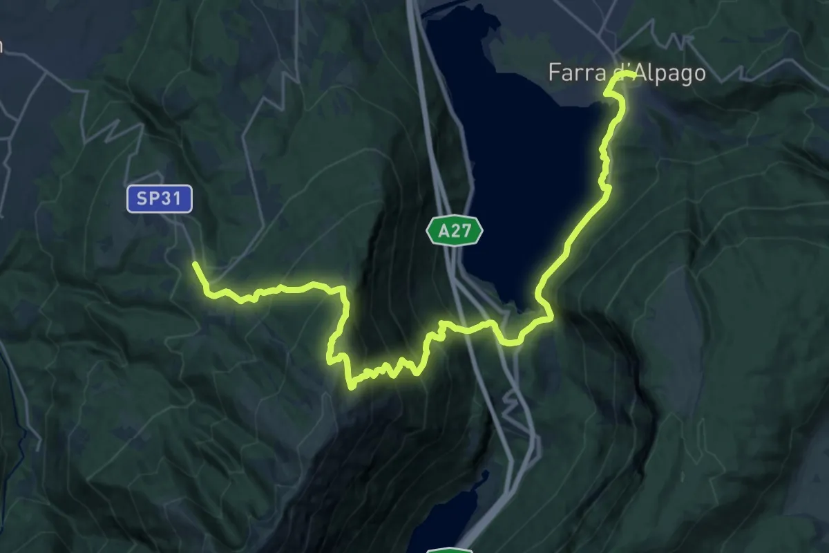
Medium · Pilgrim path
Cammino delle Dolomiti - Tappa 27
14.1 km · ↑ 581 m · 5 h 5 min · 14 km away
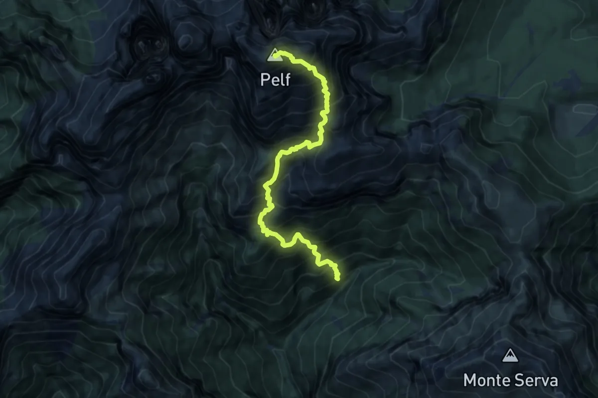
Demanding · Summit
Val Rui Fret - inn. sent. 507 – Monte Pelf
9.5 km · ↑ 1677 m · 5 h 52 min · 14 km away
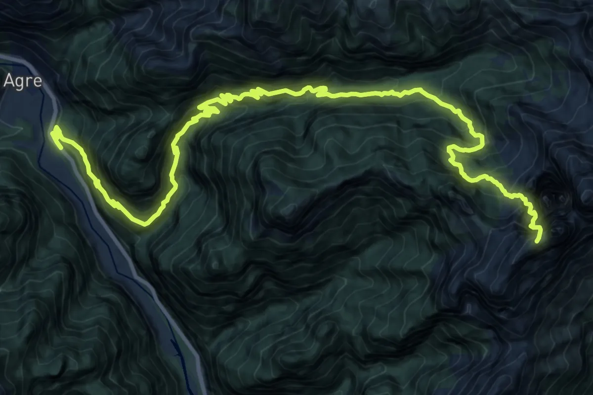
Expert · Summit
Loc. La Stanga – Rifugio 7° Alpini Pis Pilon
23.7 km · ↑ 2669 m · 11 h 23 min · 14 km away
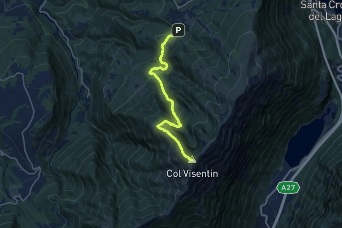
Demanding · Summit
Villaggio Olimpo – Col Visentin
11.8 km · ↑ 931 m · 4 h 48 min · 14 km away
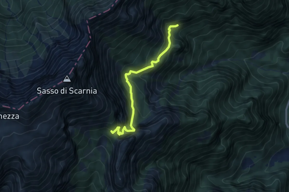
Medium · Trail
Valle delle Grave - bivio Col d'Istiaga - – Forcella Scarnia - innesto percorso 803
5.7 km · ↑ 496 m · 2 h 26 min · 14 km away
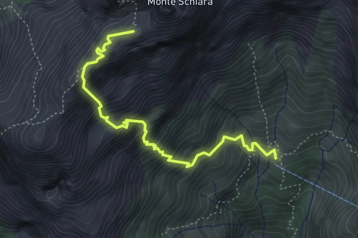
Demanding · Summit
Sentiero Sperti
4.6 km · ↑ 1029 m · 3 h 19 min · 14 km away
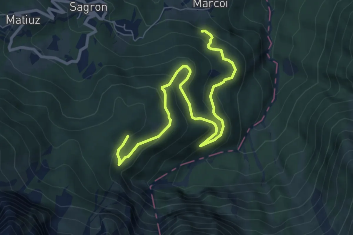
Medium · Trail
Intrecci del Tempo
7.3 km · ↑ 469 m · 2 h 44 min · 14 km away
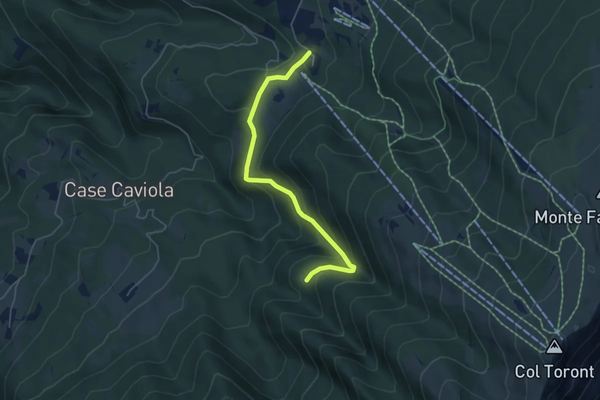
Easy · Trail
Villaggio Olimpo – Costa Degner
4.6 km · ↑ 249 m · 1 h 38 min · 14 km away
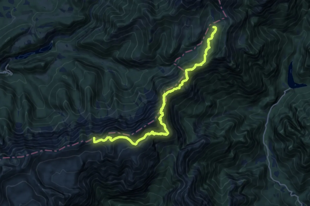
Expert · Summit
Dolomites World Heritage Geotrail 34
15.9 km · ↑ 1733 m · 7 h 31 min · 14 km away
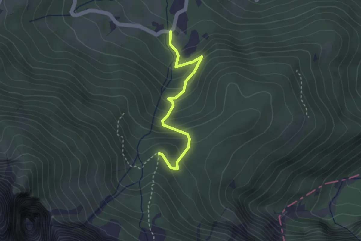
Easy · Trail
Sentiero "Italo Zecchini"
2.7 km · ↑ 244 m · 1 h 10 min · 15 km away
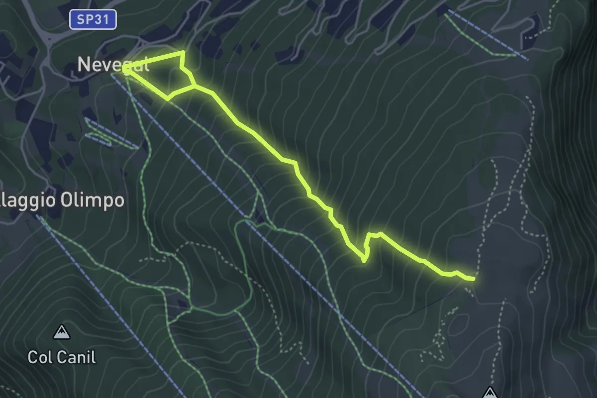
Medium · Trail
2004
5.0 km · ↑ 538 m · 2 h 21 min · 15 km away
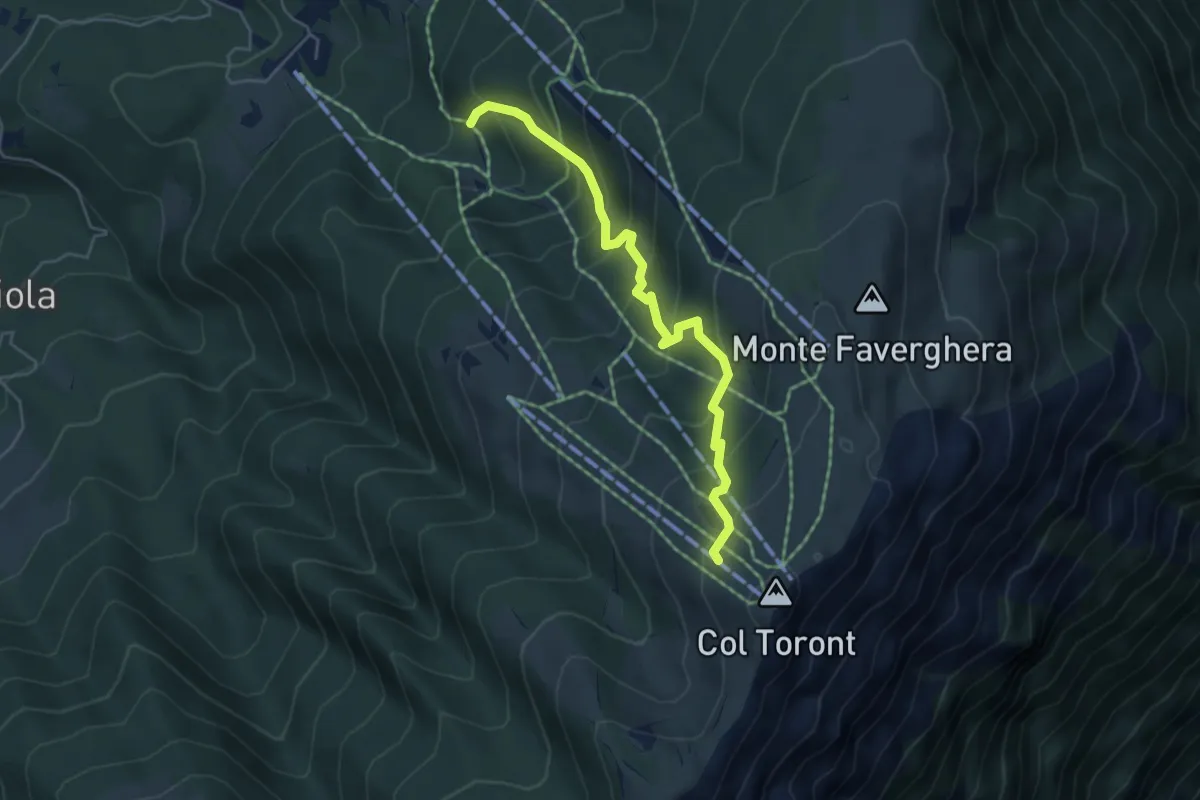
Medium · Cabin
2005
4.9 km · ↑ 446 m · 2 h 7 min · 15 km away
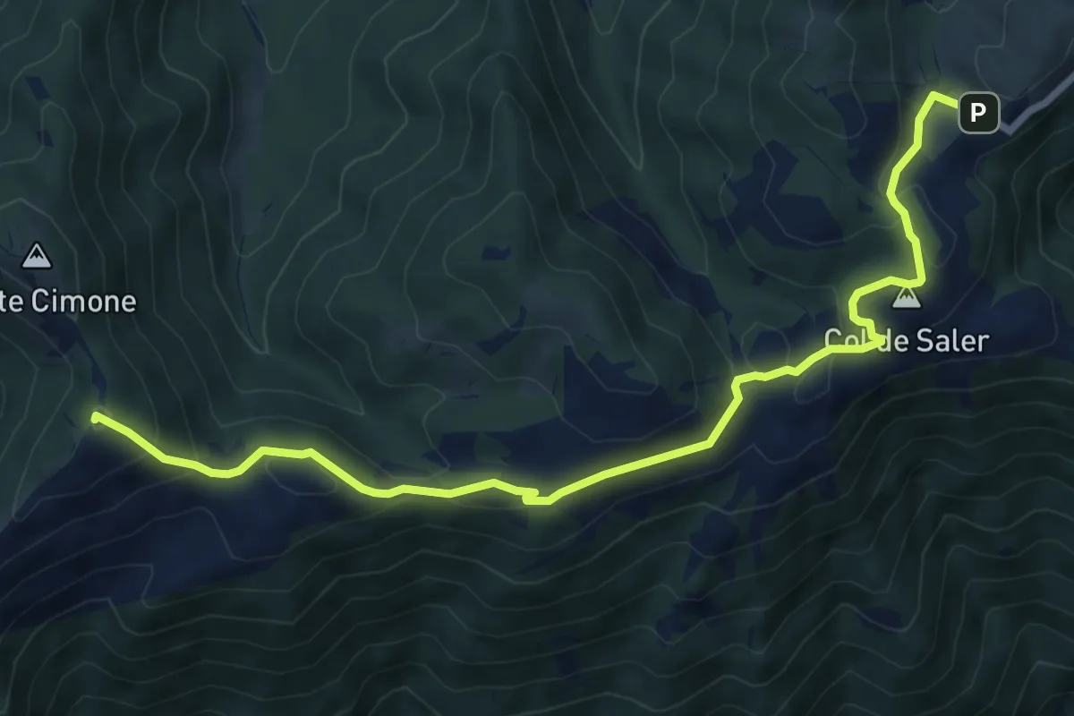
Medium · Summit
Passo S. Boldo - Fontana da Bafa – Pian de le Femene
8.3 km · ↑ 326 m · 2 h 40 min · 15 km away
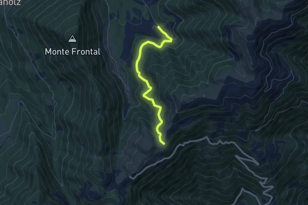
Medium · Trail
Malga Montegal – Casere Frascon
5.9 km · ↑ 352 m · 2 h 10 min · 15 km away
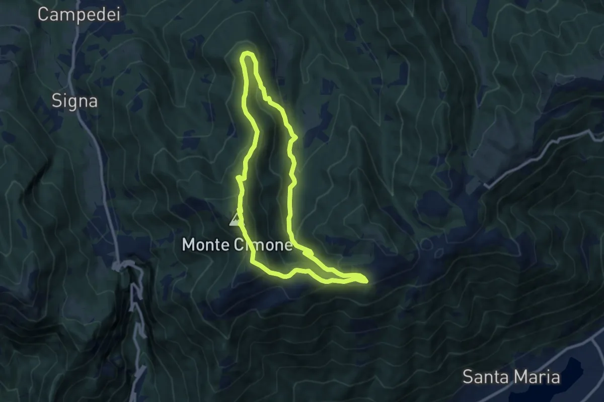
Medium · Summit
Anello Col dei Gai - Monte Cimone - Posa
8.3 km · ↑ 460 m · 3 h 4 min · 15 km away
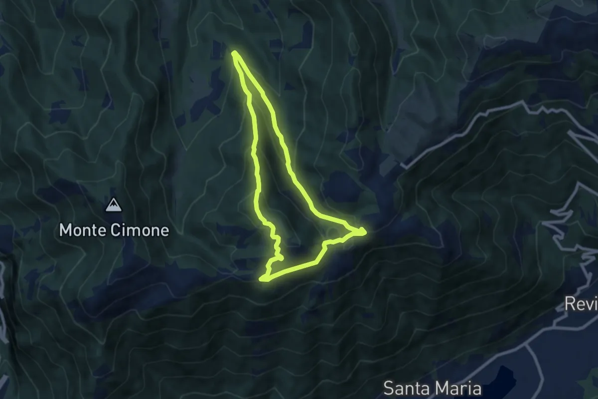
Medium · Summit
Anello del Monte Boral
6.6 km · ↑ 375 m · 2 h 28 min · 15 km away
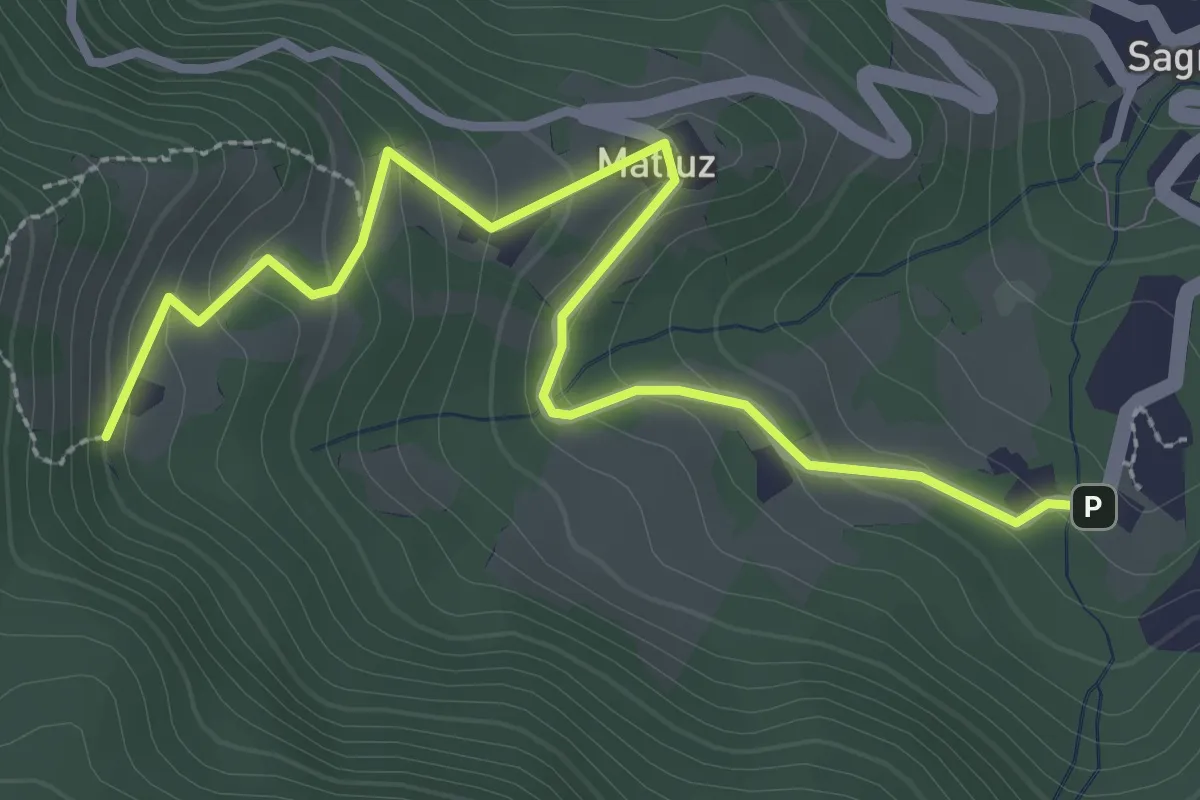
Easy · Trail
Sagron - Gianesei (bivio 801B) – Casere (bivio 801)
3.4 km · ↑ 202 m · 1 h 15 min · 15 km away