Trails near Seravezza
161 hikes starting within 15 km, nearest first.
Nearest first, page 2 of 4
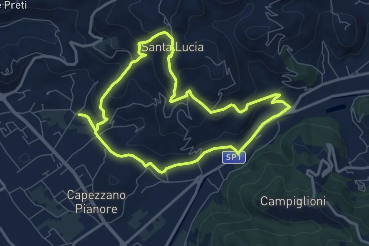
Easy · Trail
ANELLO 1 - CAPEZZANO - S. LUCIA - CAPEZZANO
6.3 km · ↑ 271 m · 2 h 10 min · 7 km away
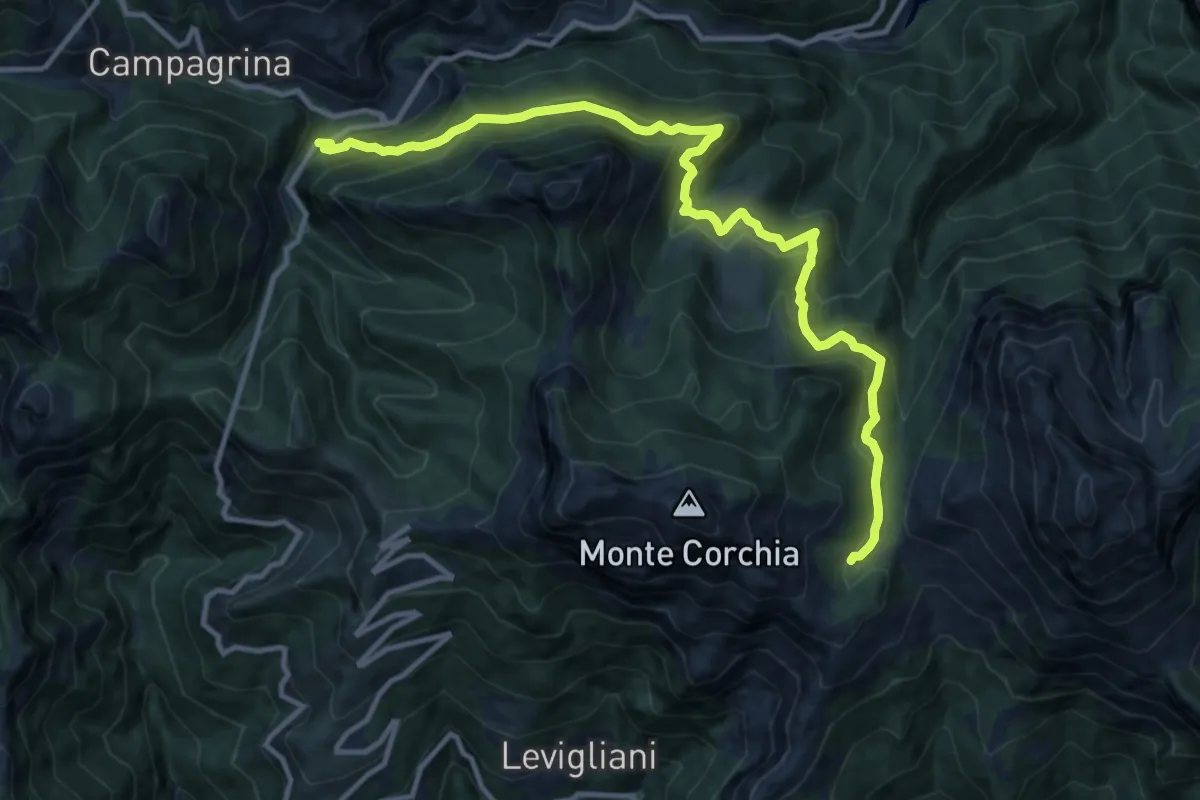
Demanding · Cabin
Tre Fiumi – Rifugio Giuseppe Del Freo
13.7 km · ↑ 1047 m · 5 h 31 min · 7 km away
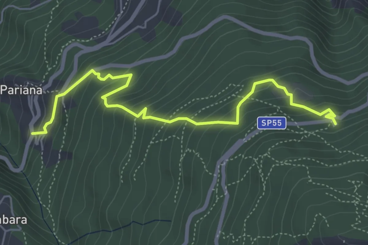
Medium · Trail
Via delle Fonti 6 - Vicinale della Fontana Morosa
5.8 km · ↑ 525 m · 2 h 30 min · 7 km away
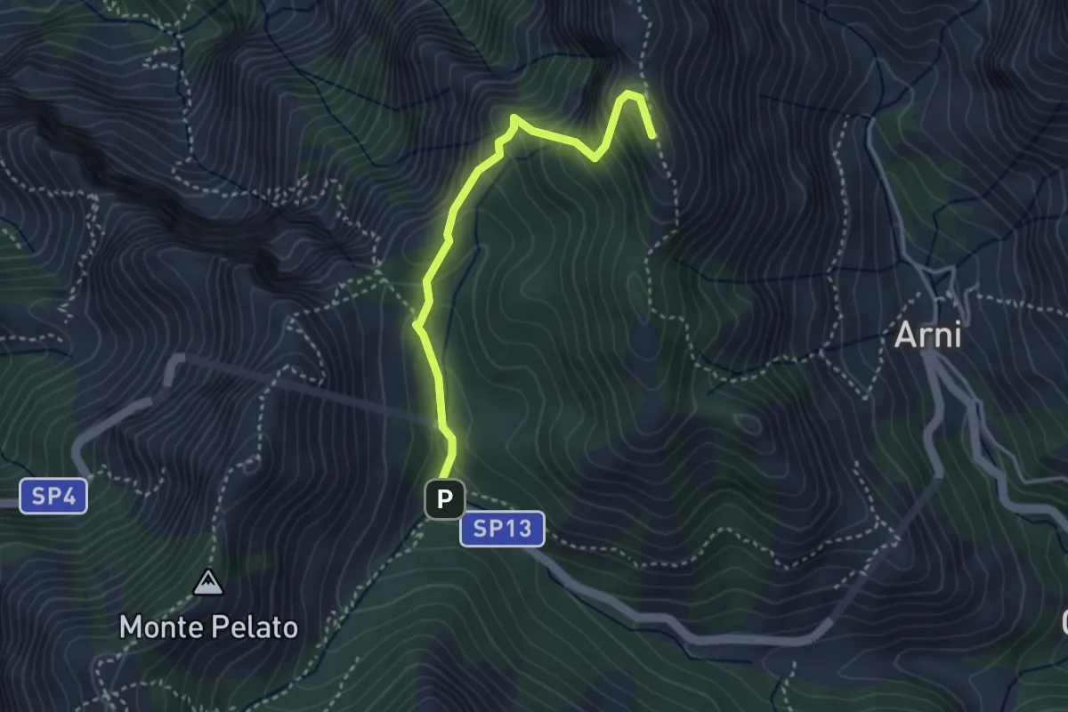
Expert · Summit
Le Gobbie – Passo Sella
3.3 km · ↑ 320 m · 1 h 28 min · 8 km away
Medium · Summit
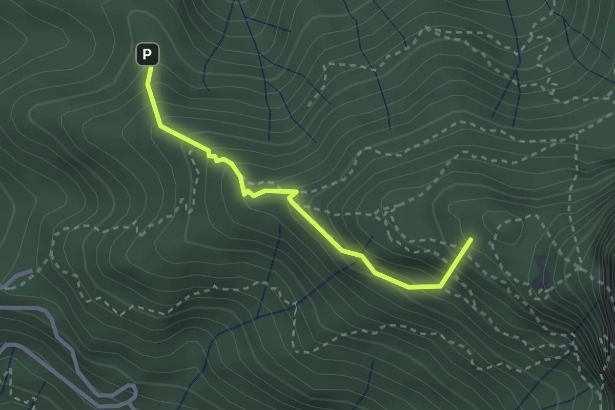
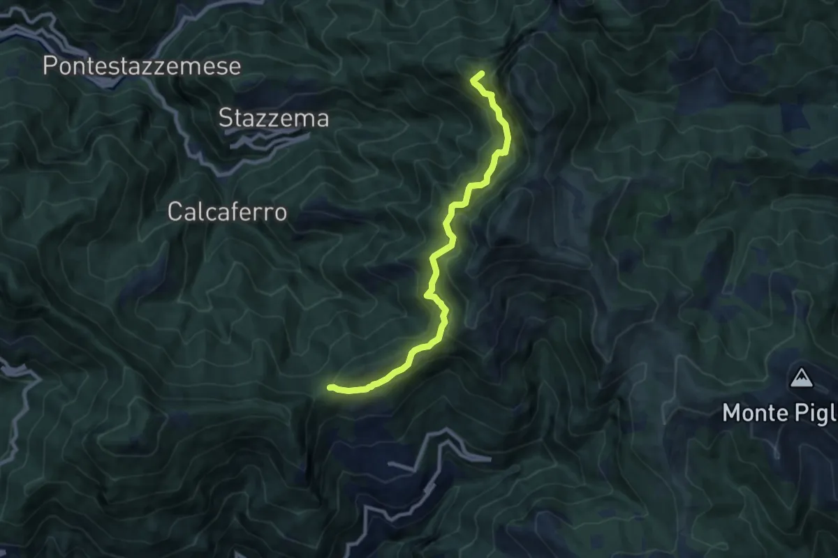
Stazzema – Alpe della Grotta
2.5 km · ↑ 285 m · 1 h 12 min · 8 km away
Demanding · Summit
Foce di San Rocchino – Fonte di Moscoso
8.8 km · ↑ 1035 m · 4 h 19 min · 8 km away
Demanding · Trail
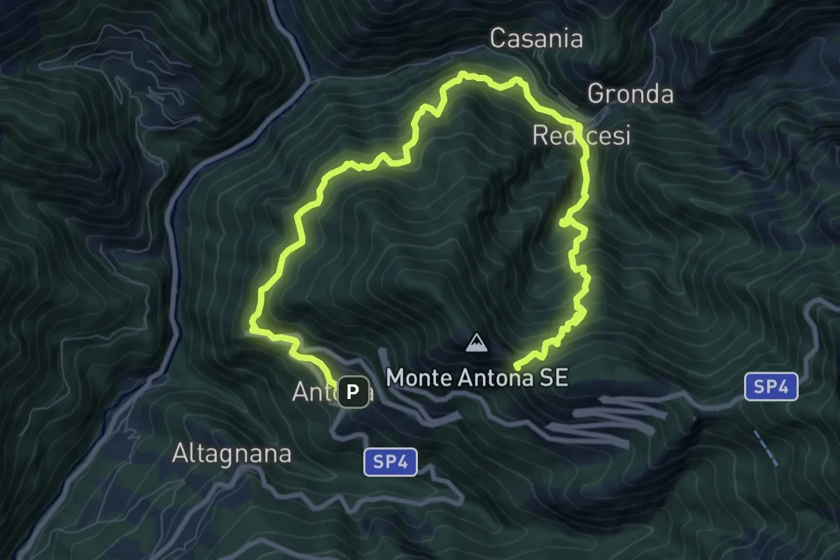
Anello di Redicesi
12.7 km · ↑ 1530 m · 6 h 19 min · 8 km away
Medium · Summit
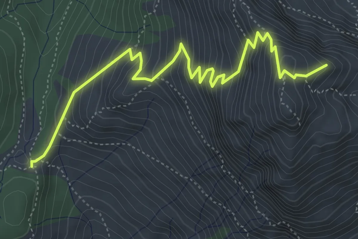
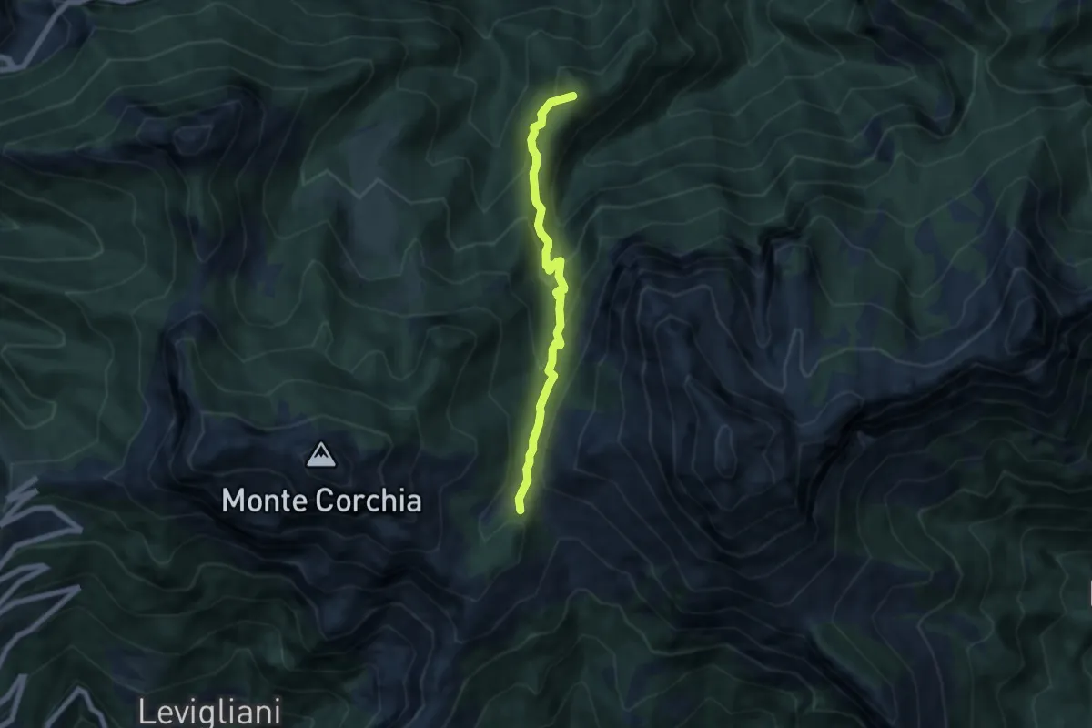
Foce di Mosceta – Focetta del Puntone
5.8 km · ↑ 728 m · 2 h 57 min · 8 km away
Medium · Summit
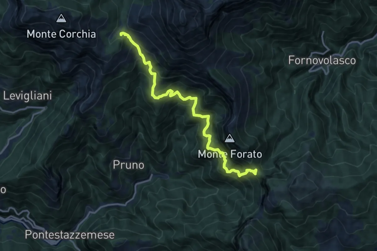
Foce di Mosceta – Isola Santa
6.0 km · ↑ 470 m · 2 h 26 min · 8 km away
Demanding · Trail
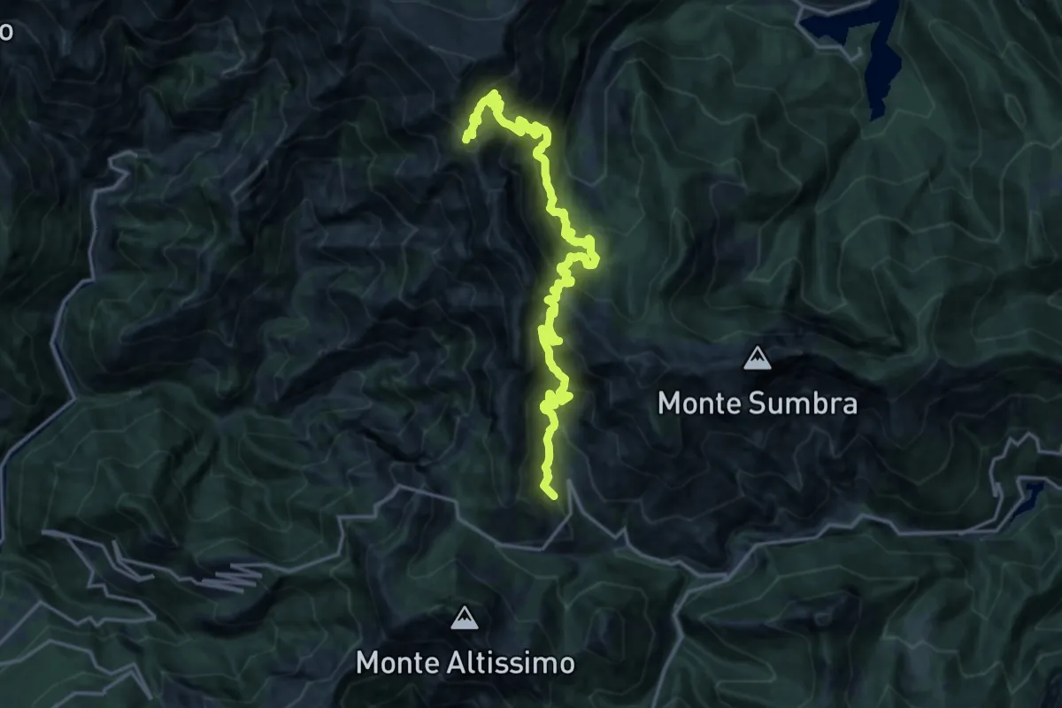
Foce di Mosceta – Foce di Petrosciana
11.8 km · ↑ 1248 m · 5 h 29 min · 8 km away
Easy · Trail
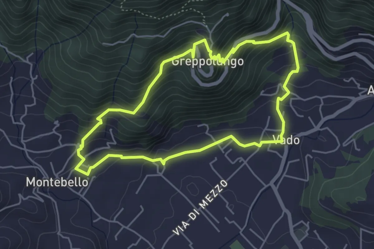
ANELLO 4 - VADO - GREPPOLUNGO - MONTEBELLO - VADO
4.4 km · ↑ 304 m · 1 h 46 min · 8 km away
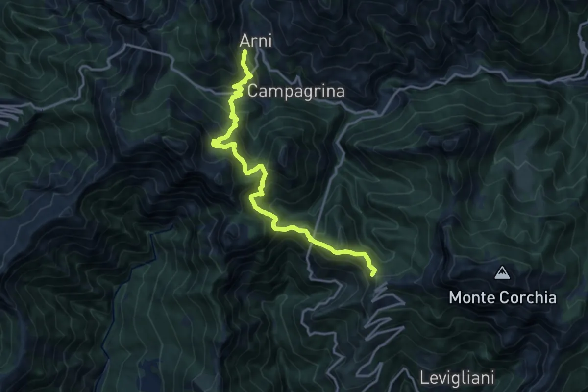
Demanding · Summit
Rifugio CAI Puliti – Rifugio CAI Nello Conti
19.2 km · ↑ 1895 m · 8 h 38 min · 8 km away
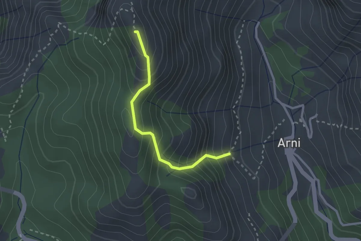
Demanding · Summit
Rifugio CAI Del Freo – Rifugio CAI Puliti
12.9 km · ↑ 1058 m · 5 h 20 min · 8 km away
Medium · Summit
Rifugio Adelmo Puliti (Percorso 141) – Schienale dell'Asino (Pecorso 150)
2.1 km · ↑ 294 m · 1 h 8 min · 8 km away
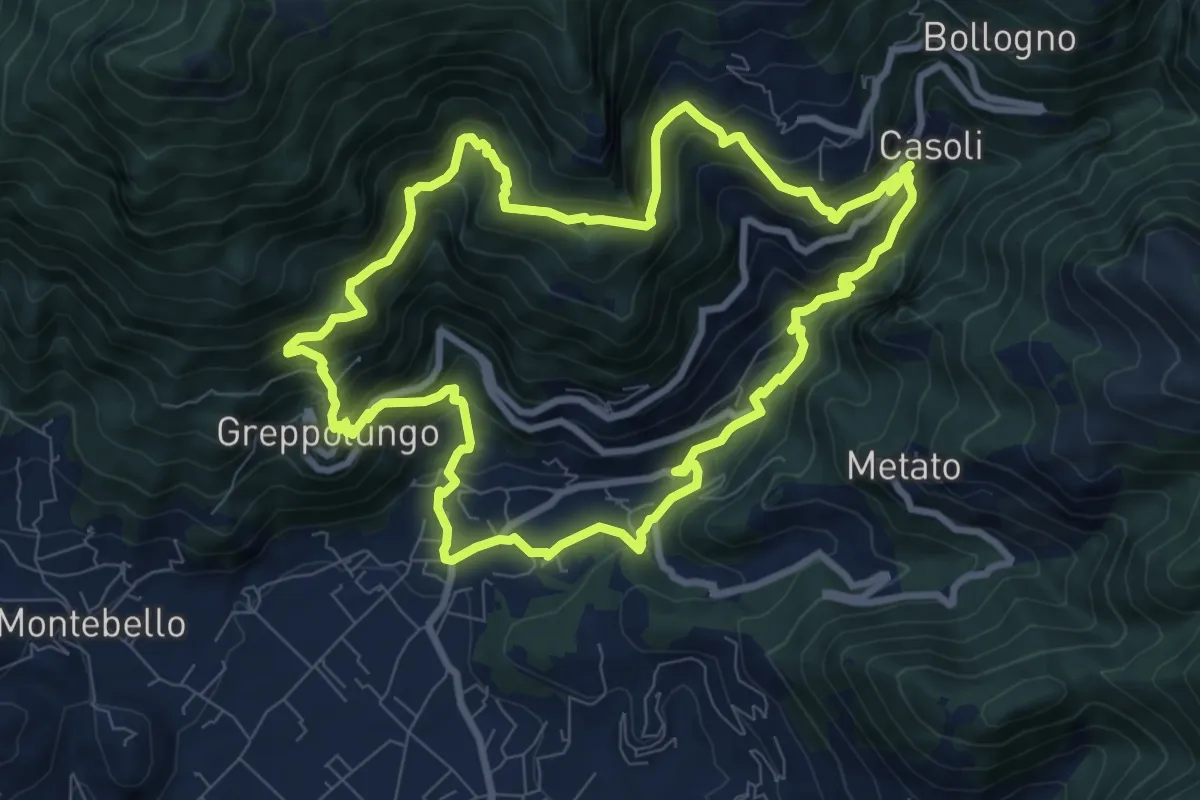
Medium · Trail
ANELLO 8 - CASOLI - BACINO DI SETRIANA - GREPPOLUNGO - CASOLI
9.4 km · ↑ 709 m · 3 h 53 min · 8 km away
Demanding · Summit
Via Vandelli - Tappa 7
35.0 km · ↑ 2743 m · 14 h 12 min · 8 km away
Demanding · Trail
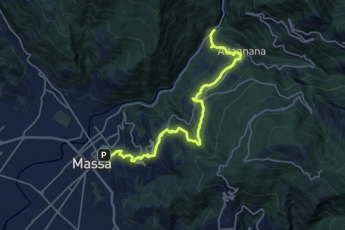
Cammino del Frigido - Tappa 1
13.0 km · ↑ 815 m · 4 h 50 min · 8 km away
Medium · Trail
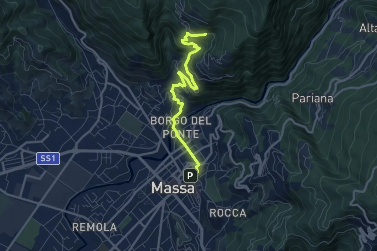
Cammino del Frigido - Tappa 7
7.3 km · ↑ 342 m · 2 h 28 min · 8 km away
Demanding · Cabin
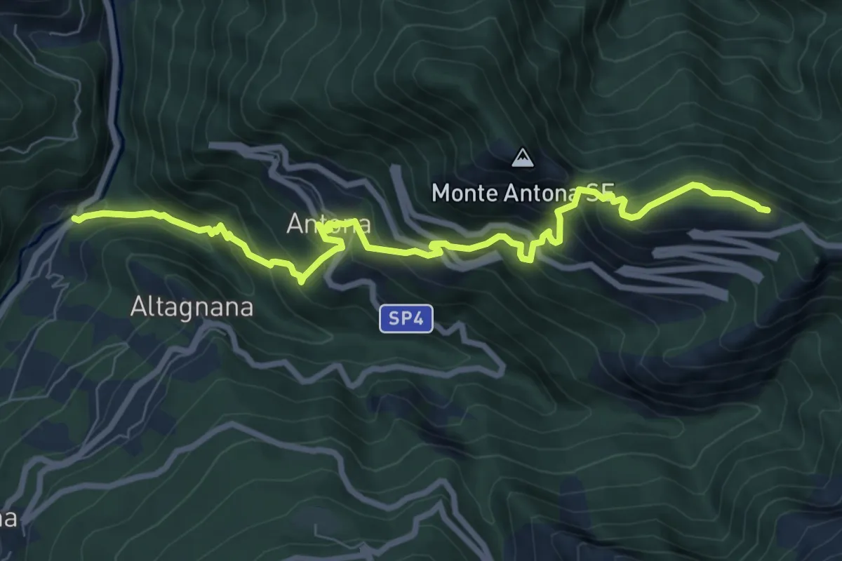
Cammino del Frigido - Tappa 2
8.7 km · ↑ 818 m · 3 h 50 min · 8 km away
Medium · Trail
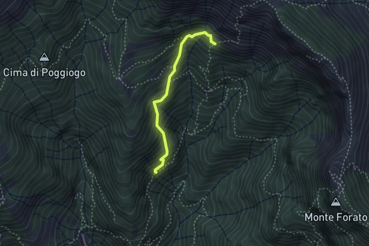
Sentiero di Pacì
2.8 km · ↑ 431 m · 1 h 35 min · 9 km away
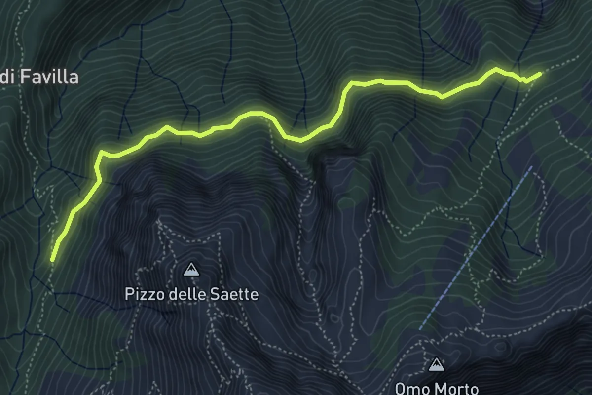
Medium · Cabin
Percorso 7 – Percorso 9
5.9 km · ↑ 428 m · 2 h 19 min · 9 km away
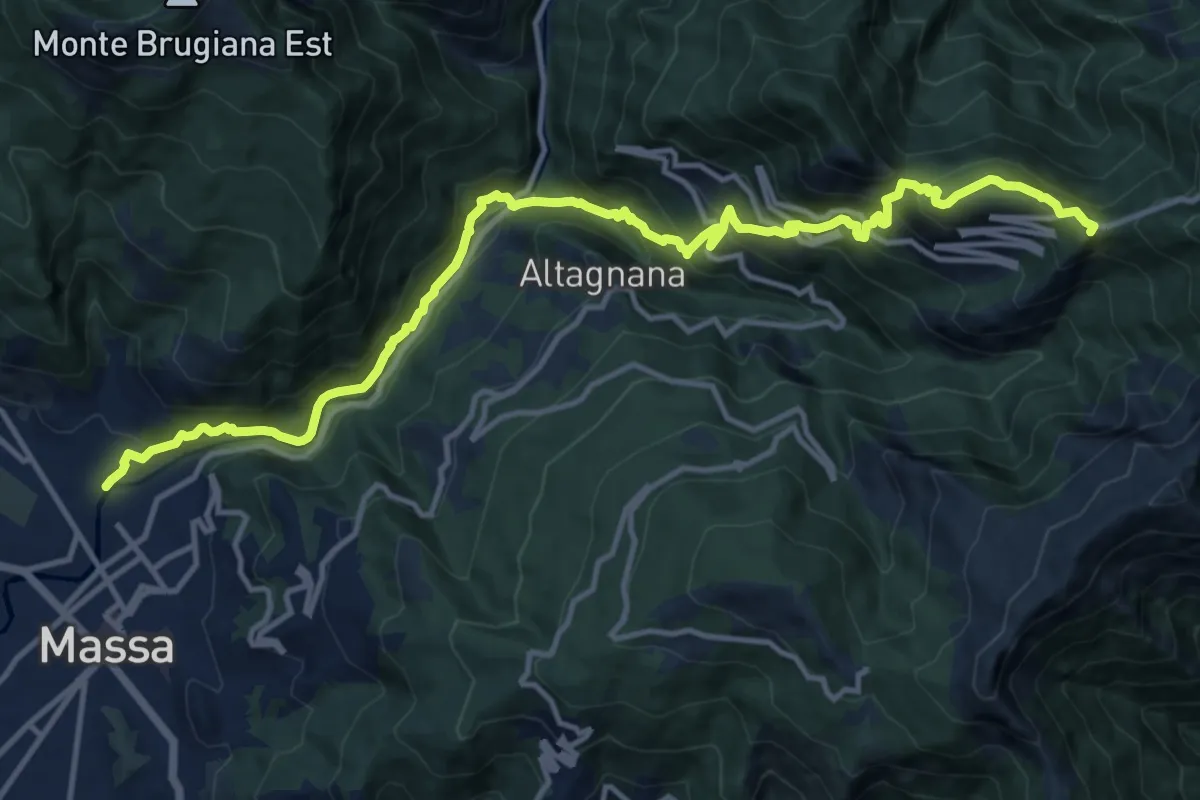
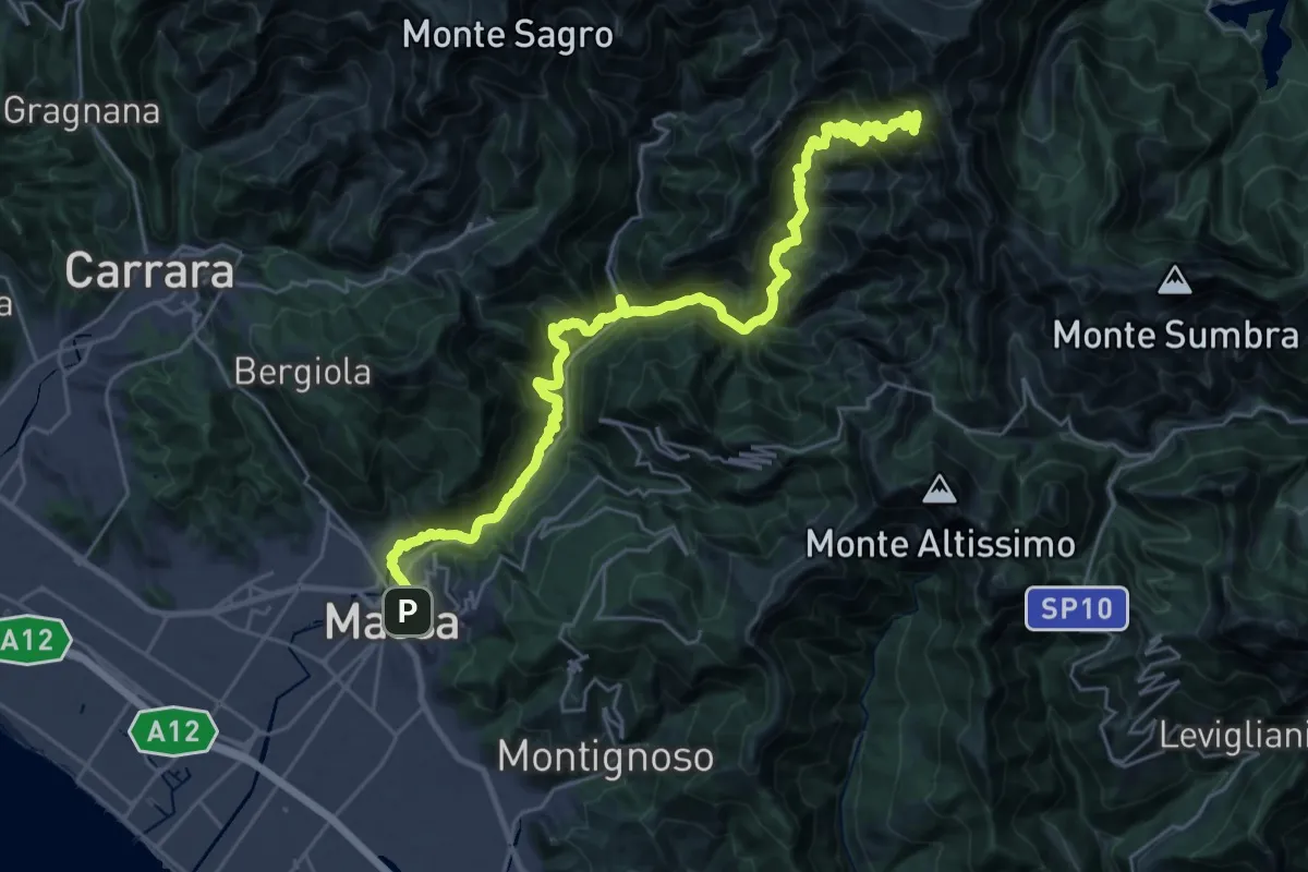
Demanding · Summit
Massa – Le Gobbie
16.2 km · ↑ 1286 m · 6 h 36 min · 9 km away
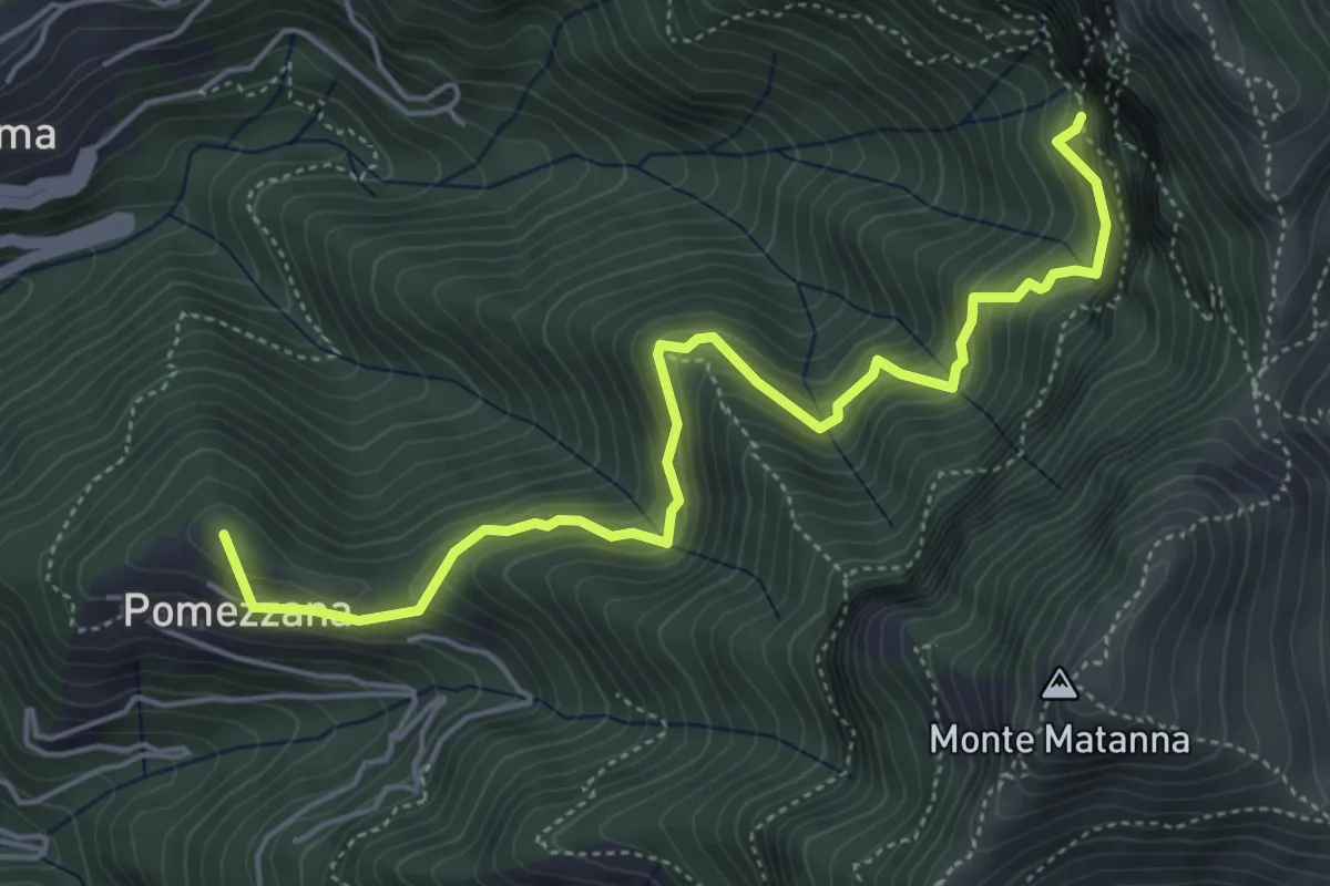
Medium · Summit
Tre Scolli – Rifugio Forte dei Marmi
5.7 km · ↑ 693 m · 2 h 51 min · 9 km away
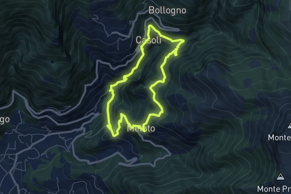
Medium · Summit
ANELLO 7 - CANDALLA - CASOLI - METATO - CANDALLA
5.7 km · ↑ 487 m · 2 h 28 min · 9 km away
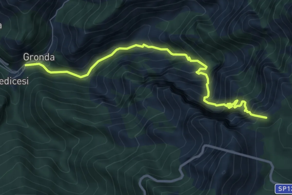
Demanding · Summit
Renara – Le Gobbie
7.4 km · ↑ 924 m · 3 h 45 min · 9 km away
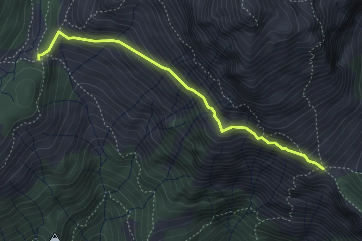
Expert · Trail
Foce di Mosceta – Foce di Valli
4.1 km · ↑ 386 m · 1 h 49 min · 9 km away
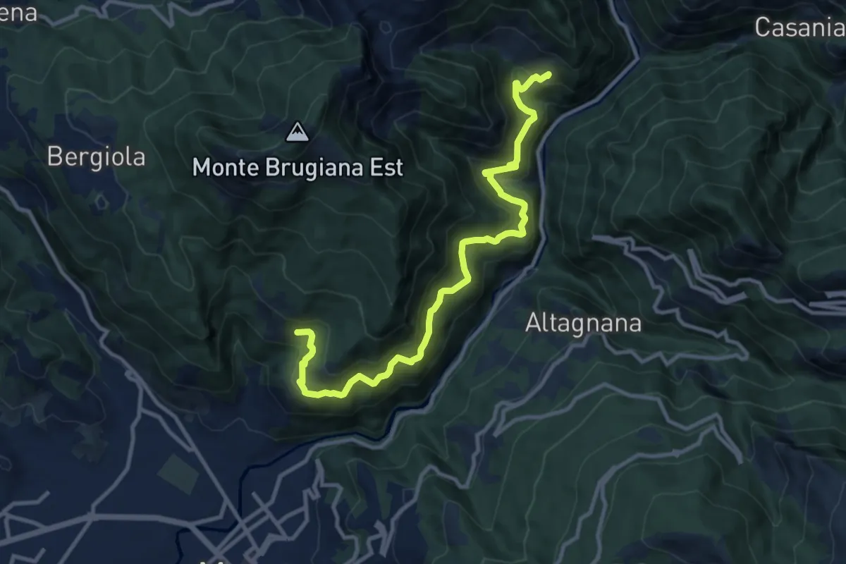
Demanding · Trail
Cammino del Frigido - Tappa 6
11.7 km · ↑ 847 m · 4 h 36 min · 9 km away
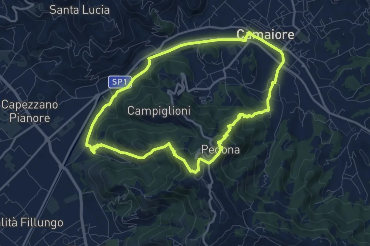
Medium · Trail
ANELLO 10 - CAMAIORE - PEDONA - CAMAIORE
8.7 km · ↑ 327 m · 2 h 53 min · 9 km away
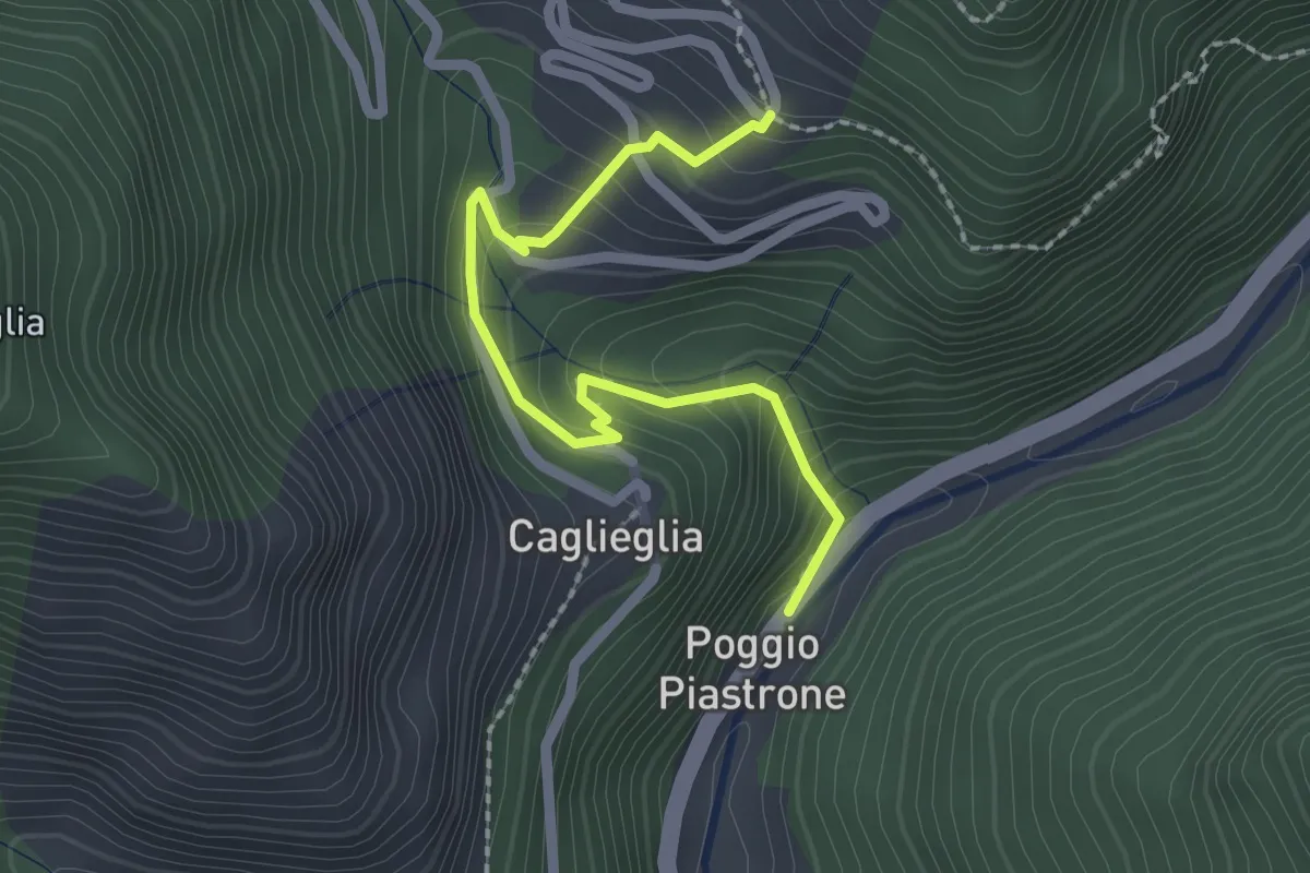
Easy · Trail
Poggio Piastrone - Casette
2.4 km · ↑ 224 m · 1 h 2 min · 9 km away
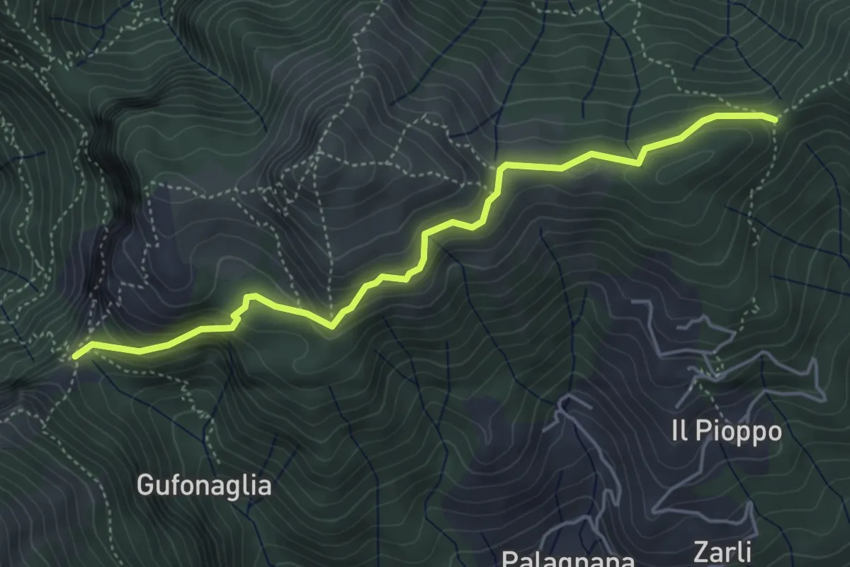
Demanding · Trail
Foce delle Porchette – Il Termine di Palagnana
5.1 km · ↑ 299 m · 1 h 51 min · 9 km away
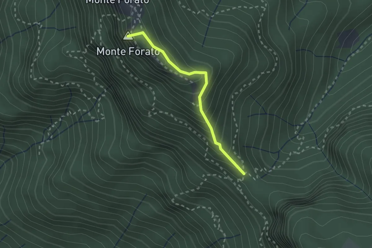
Demanding · Summit
Foce di Petrosciana – Foce di Valli
1.9 km · ↑ 225 m · 56 min · 9 km away
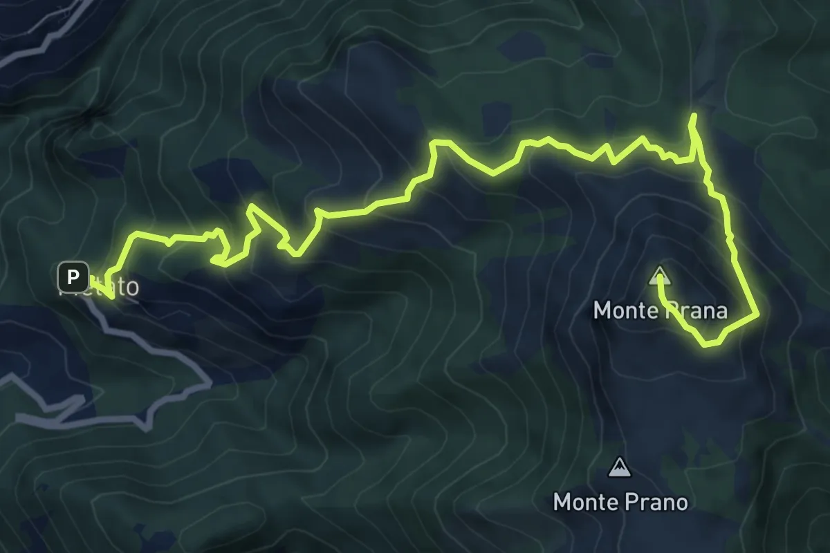
Demanding · Summit
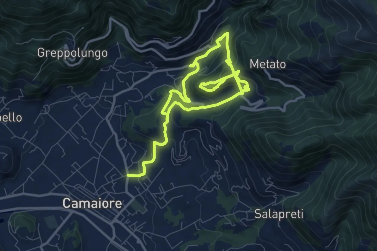
Metato – Monte Prana
10.4 km · ↑ 1001 m · 4 h 38 min · 9 km away
Demanding · Trail
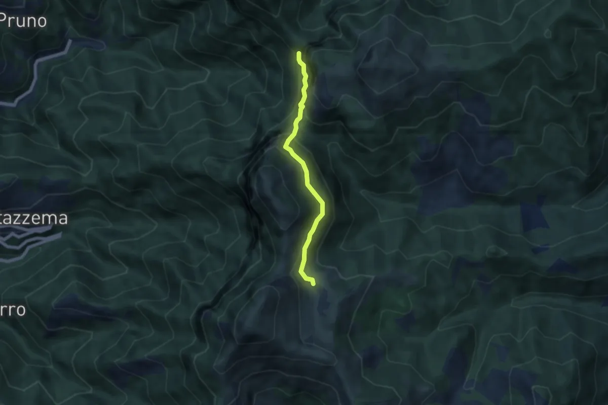
ANELLO 5 - BADIA - MONTECASTRESE - BADIA
14.9 km · ↑ 825 m · 5 h 18 min · 9 km away
Demanding · Cabin
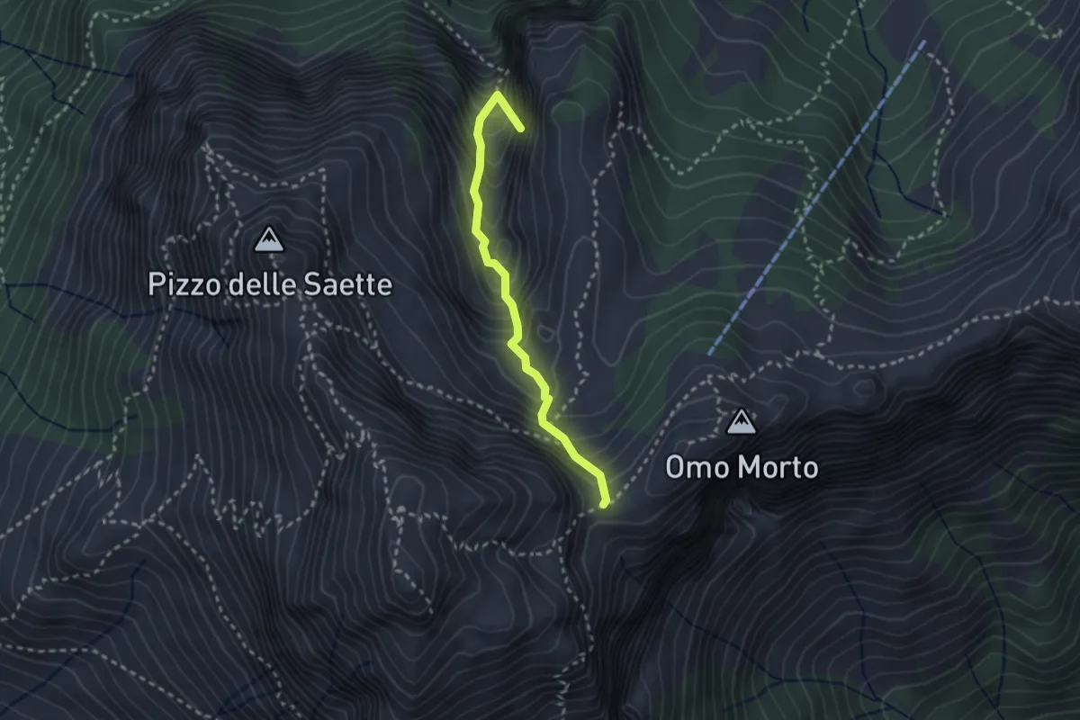
Rifugio Alto Matanna – Sentiero 6
5.0 km · ↑ 338 m · 1 h 55 min · 9 km away
Demanding · Summit
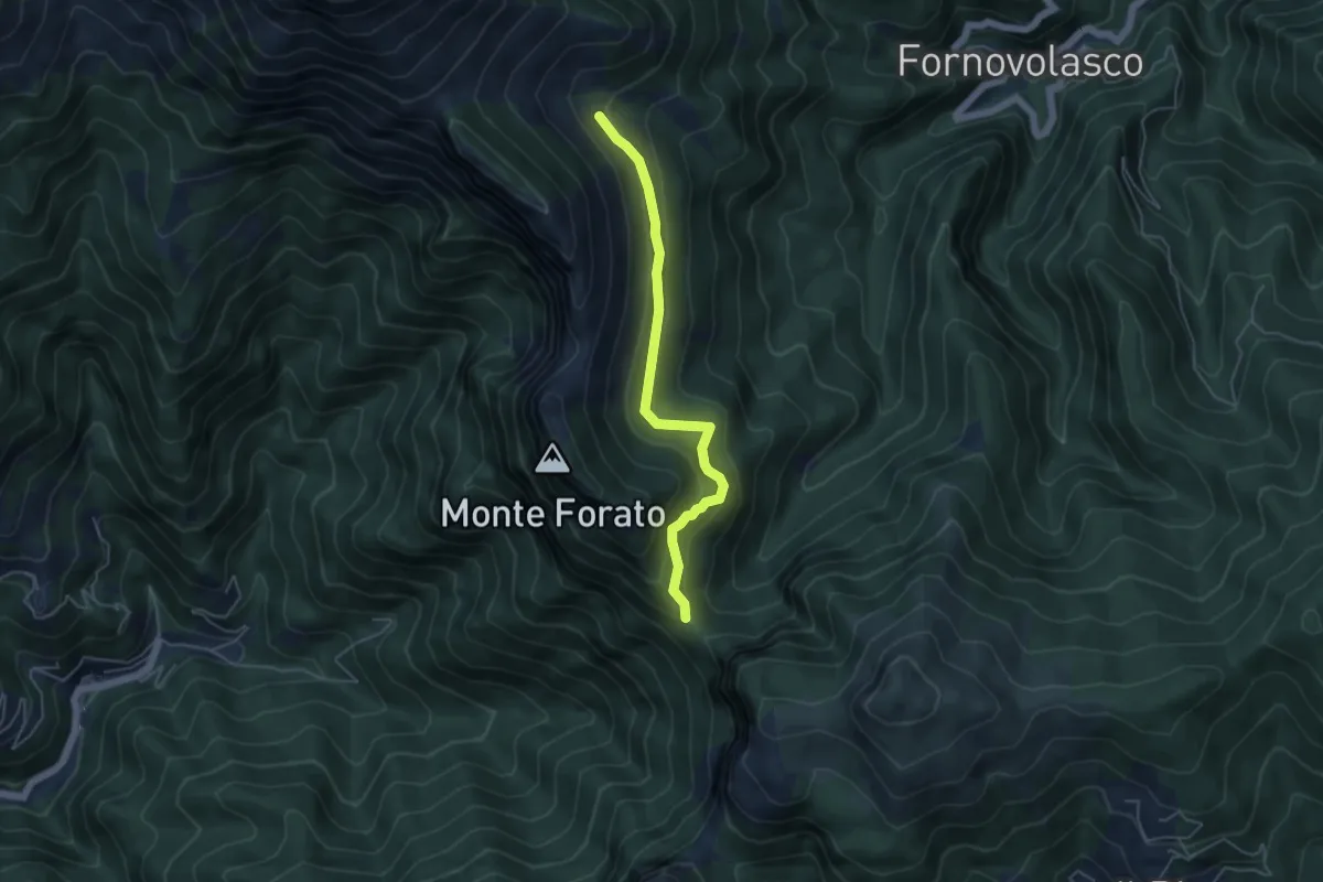
Percorso 127 – Focetta del Puntone
2.5 km · ↑ 345 m · 1 h 20 min · 10 km away
Medium · Trail
Foce di Petrosciana – Innesto sentiero CAI 130
4.8 km · ↑ 280 m · 1 h 45 min · 10 km away
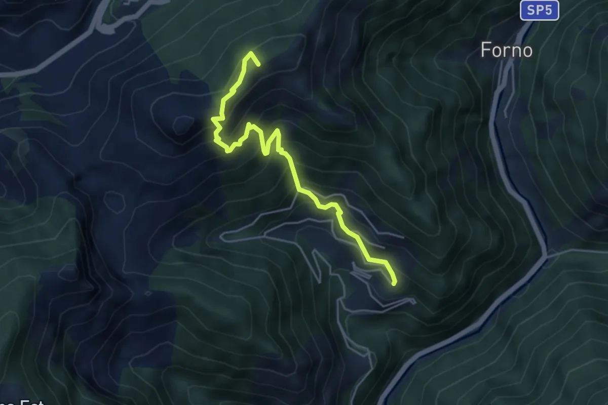
Medium · Summit
Cammino del Frigido - Tappa 5
4.6 km · ↑ 573 m · 2 h 20 min · 10 km away
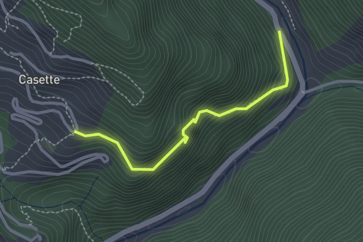
Easy · Trail
Sentiero del Bizzarro
2.2 km · ↑ 282 m · 1 h 8 min · 10 km away
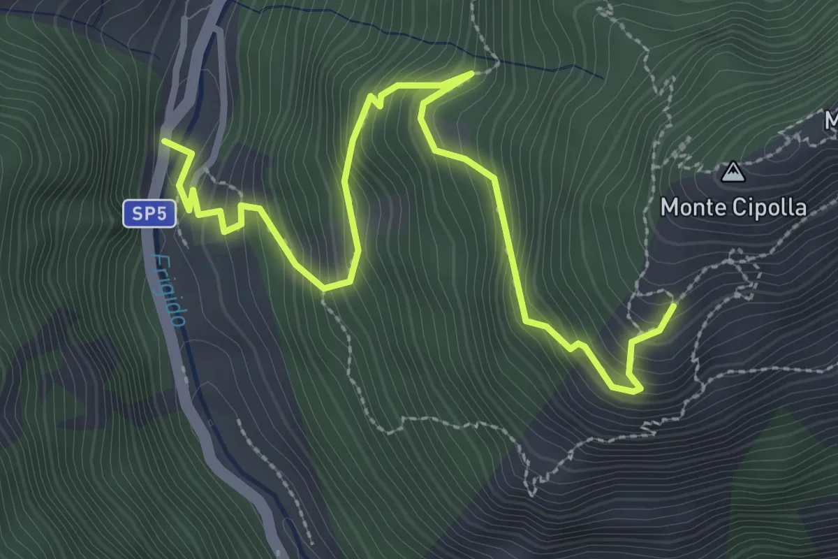
Medium · Trail
Forno - Pian dei Santi
3.6 km · ↑ 382 m · 1 h 41 min · 10 km away
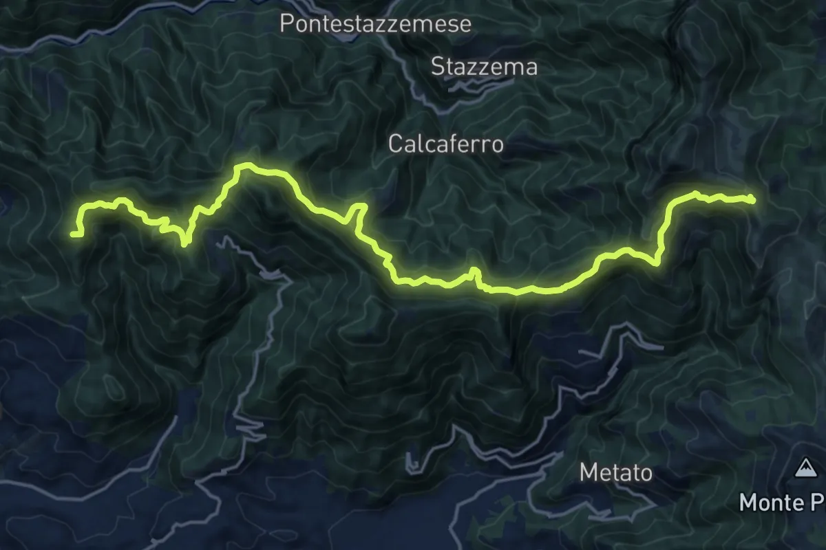
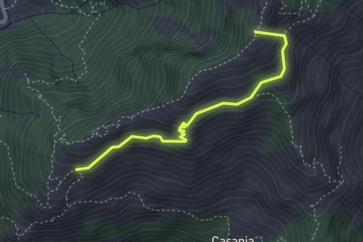
Demanding · Summit
Capezzano Monte – Foce del Pallone
22.6 km · ↑ 1680 m · 8 h 59 min · 10 km away
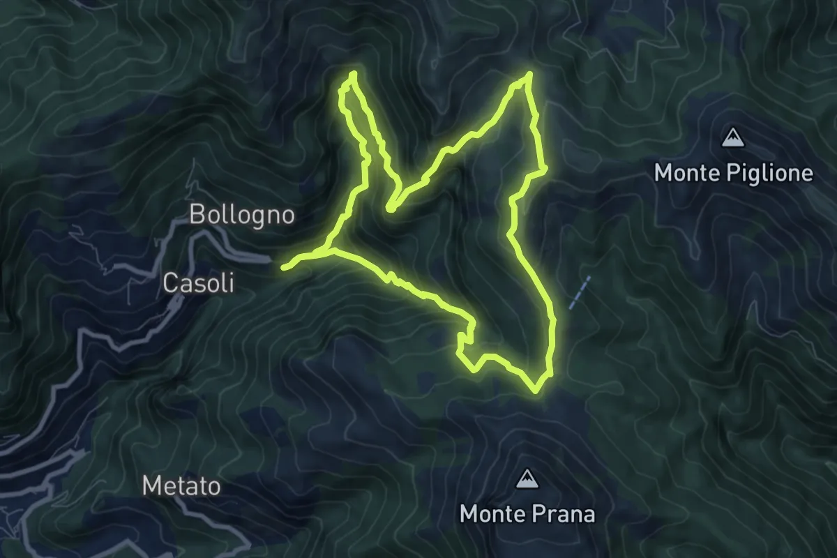
Demanding · Summit
Pian dei Santi – Percorso 161
3.4 km · ↑ 356 m · 1 h 35 min · 10 km away
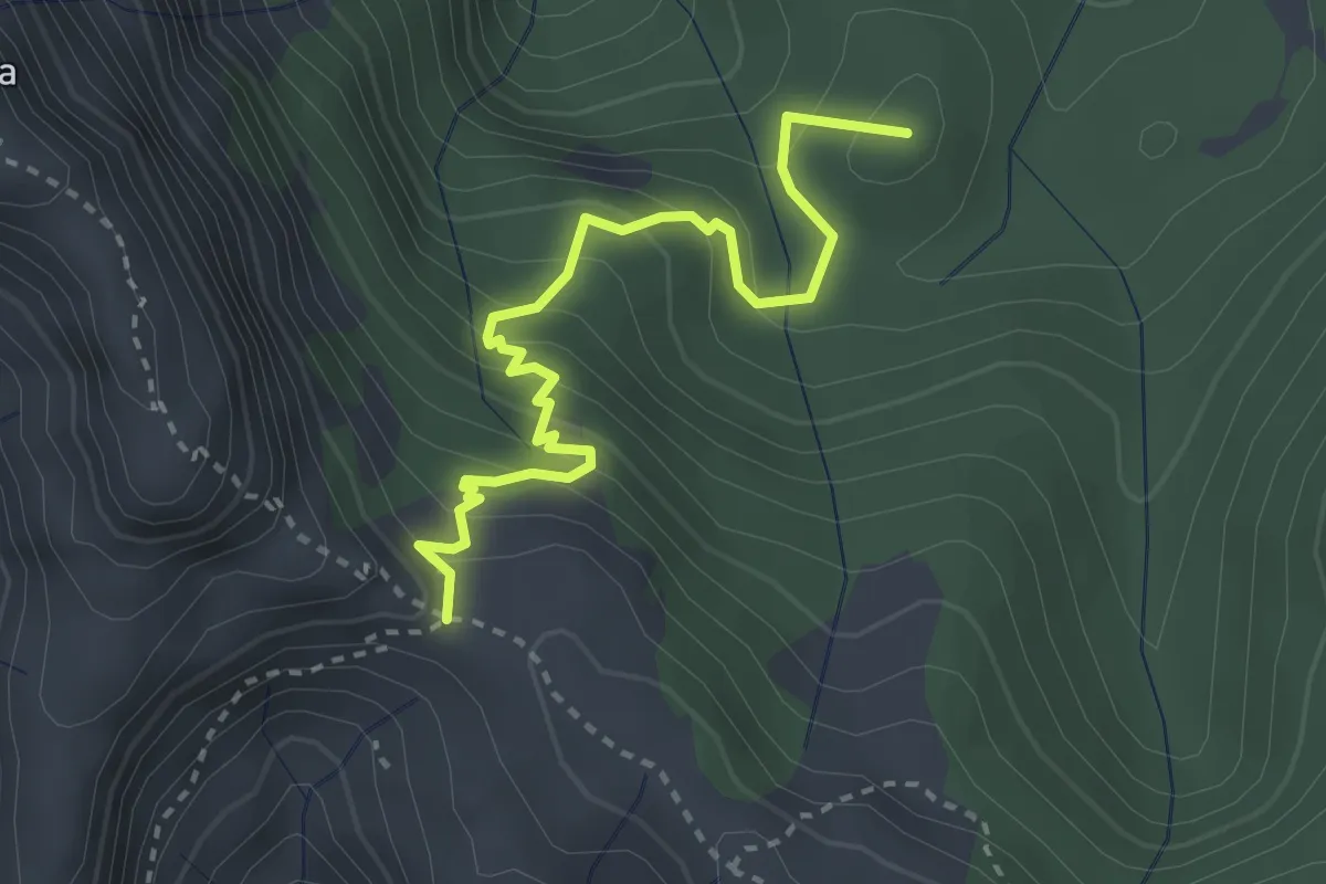
Medium · Summit
ANELLO 6 - CASOLI - FOCE DEL PALLONE - CASOLI
8.5 km · ↑ 746 m · 3 h 45 min · 10 km away
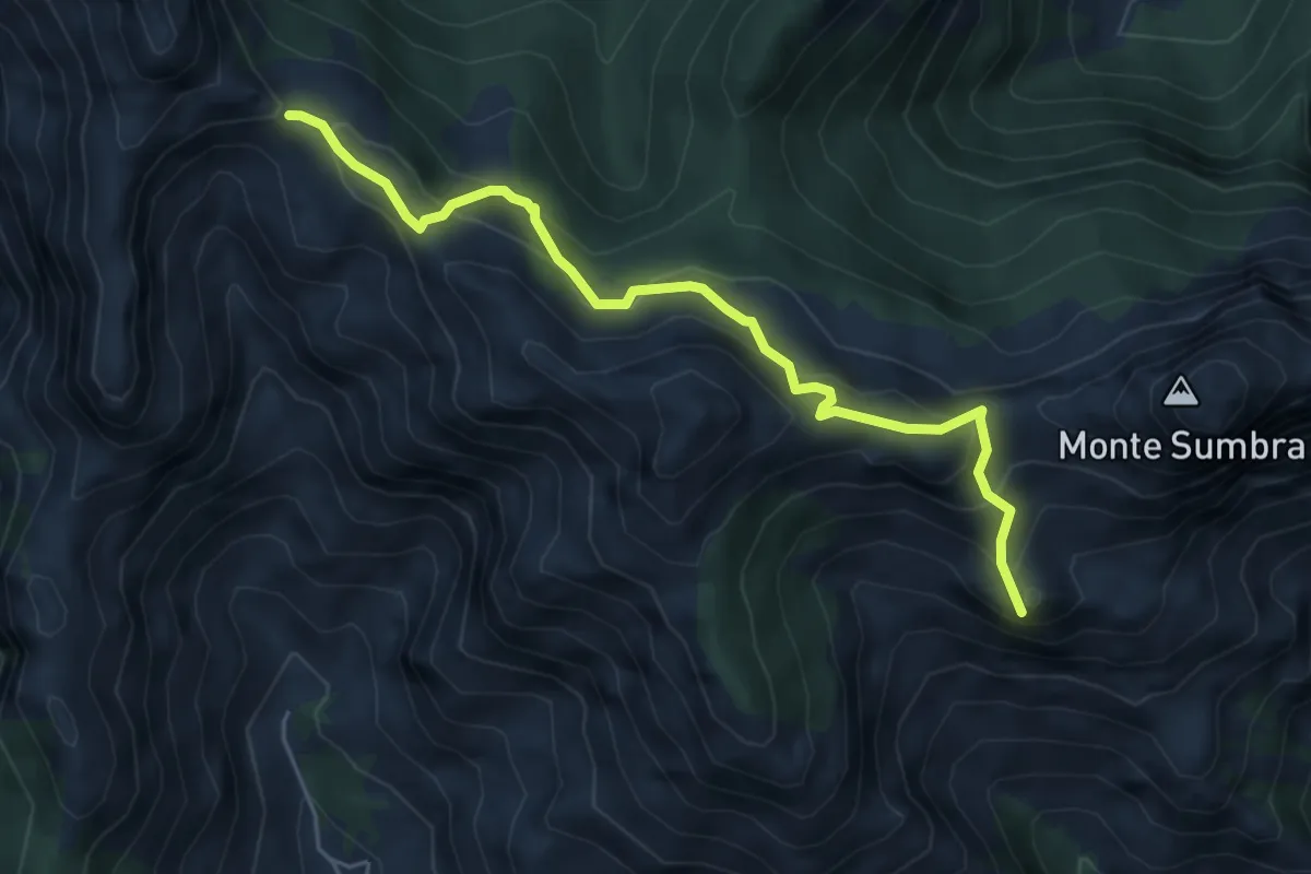
Medium · Summit
Arnetola – Cave delle Cervaiole
3.3 km · ↑ 287 m · 1 h 24 min · 10 km away
Demanding · Summit
Arni – Passo Sella
5.7 km · ↑ 476 m · 2 h 23 min · 10 km away
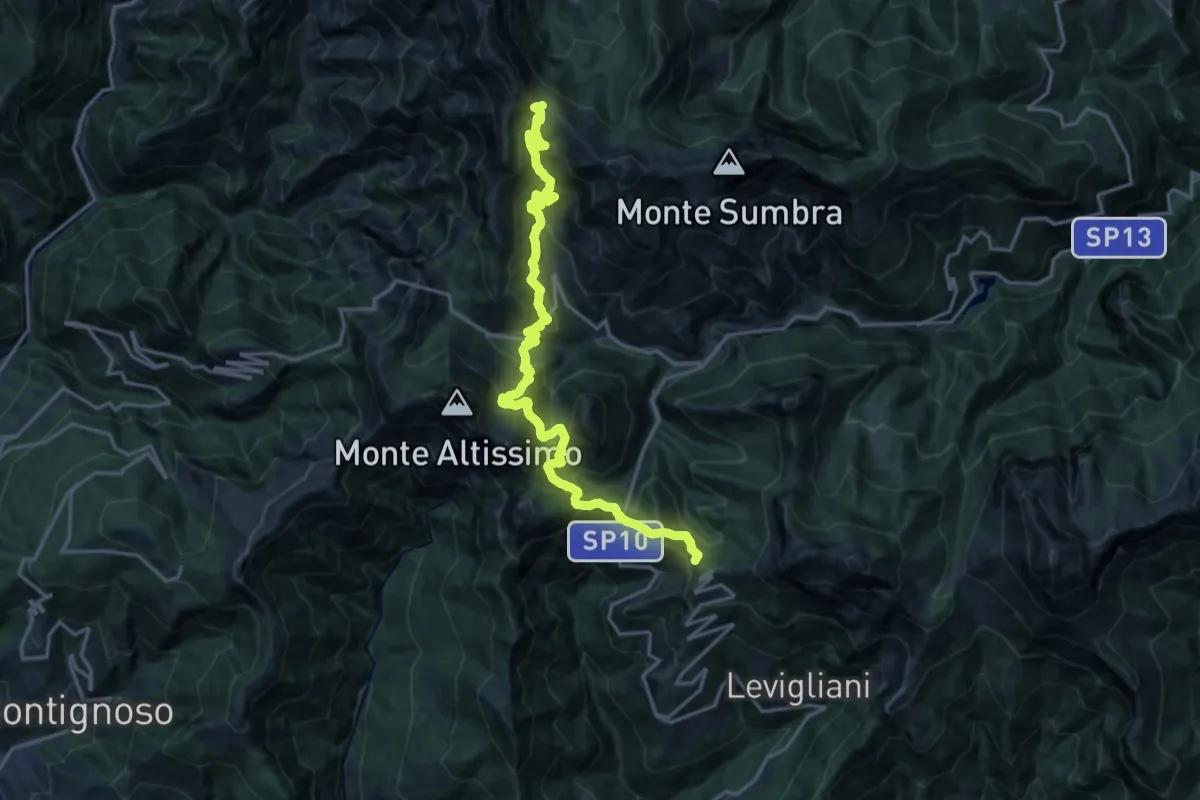
Demanding · Summit
Foce di Mosceta – Passo Sella
20.3 km · ↑ 1754 m · 8 h 35 min · 10 km away
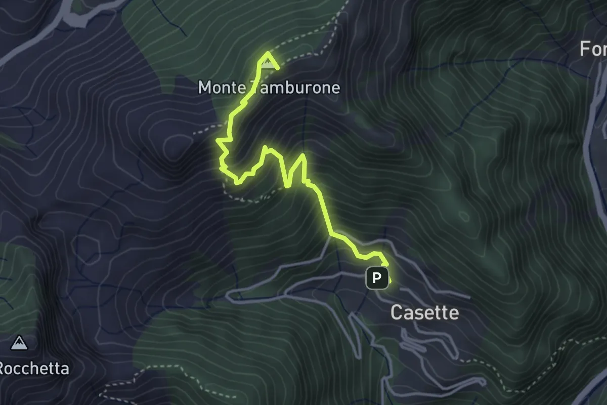
Medium · Summit
Forno (via Bassa Tambura) – Casette
3.9 km · ↑ 516 m · 2 h 3 min · 10 km away
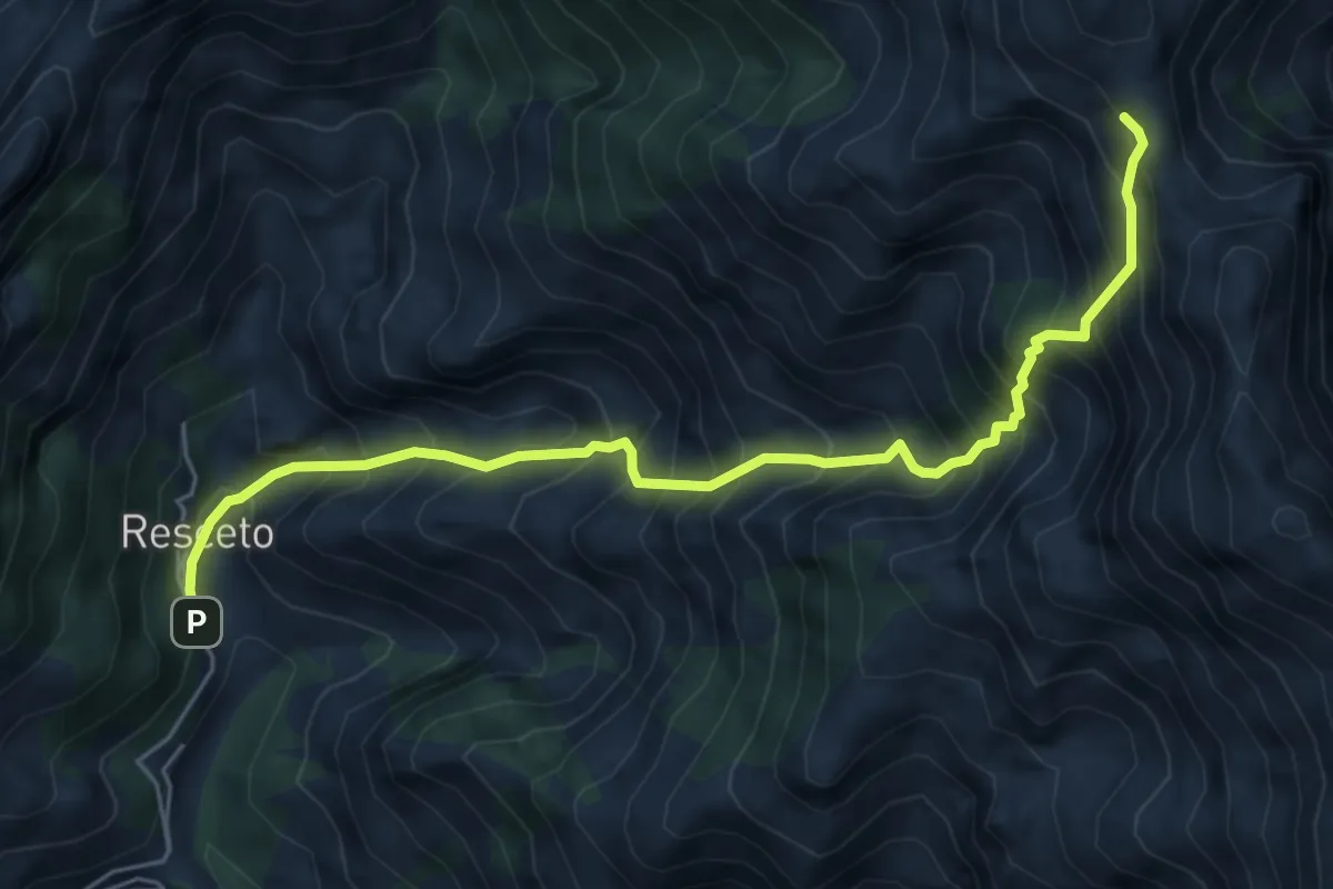
Demanding · Trail
Resceto – Foce dell Acqua Fredda
6.1 km · ↑ 1208 m · 4 h 4 min · 10 km away
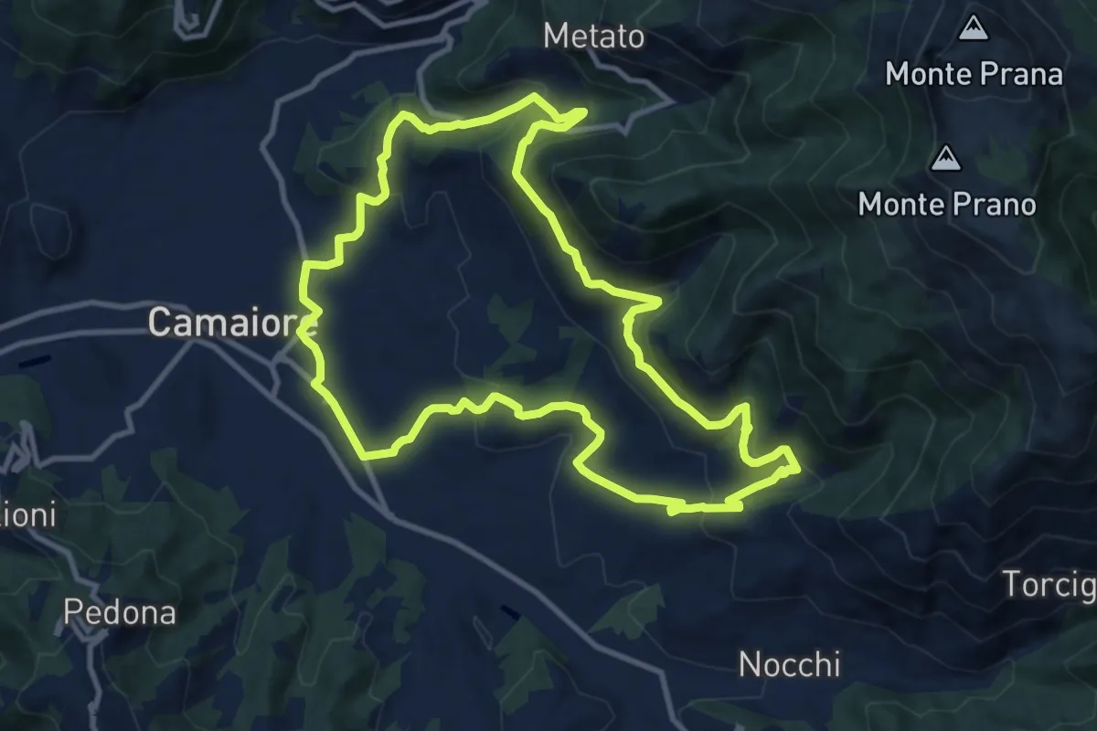
Medium · Trail
ANELLO 9 - BADIA DI CAMAIORE - PERALLA - PIEVE - BADIA DI CAMAIORE
11.0 km · ↑ 487 m · 3 h 49 min · 11 km away