Trails near Seravezza
161 hikes starting within 15 km, nearest first.
Nearest first, page 3 of 4
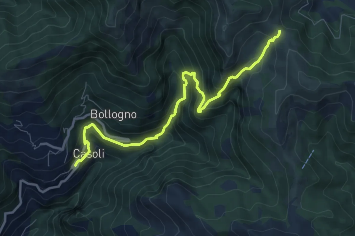
Demanding · Trail
Casoli – Foce del Crocione o del Termine
8.5 km · ↑ 839 m · 3 h 50 min · 11 km away
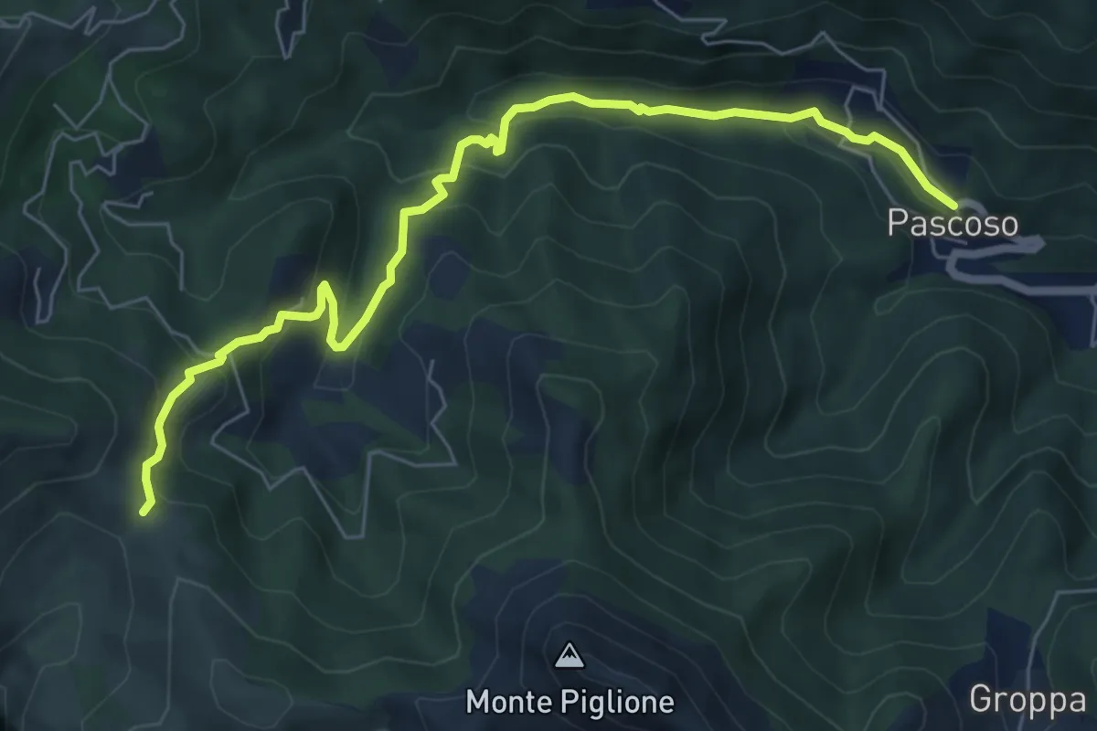
Medium · Trail
Casoli – Pascoso
7.5 km · ↑ 378 m · 2 h 35 min · 11 km away
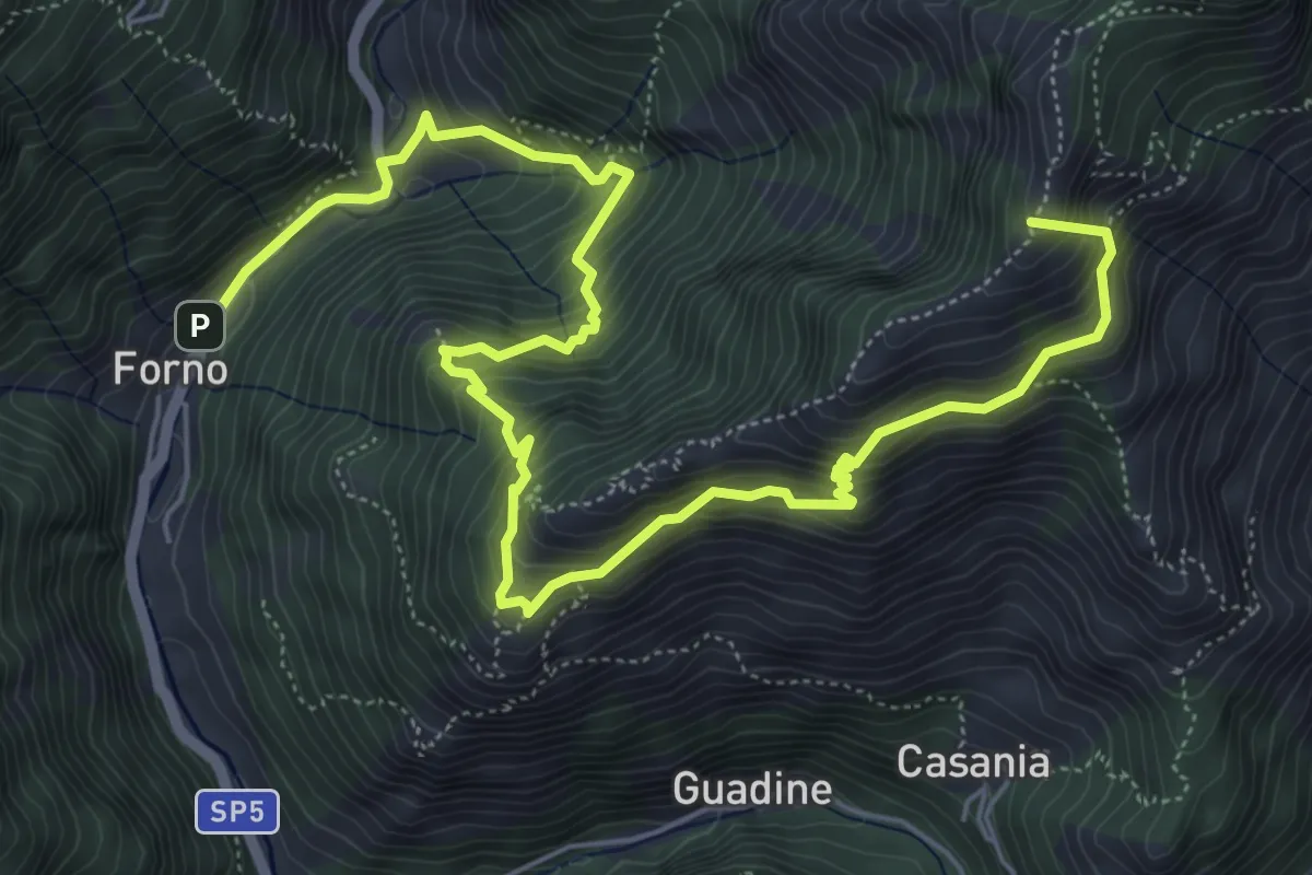
Demanding · Summit
Cammino del Frigido - Tappa 4
8.7 km · ↑ 891 m · 3 h 59 min · 11 km away
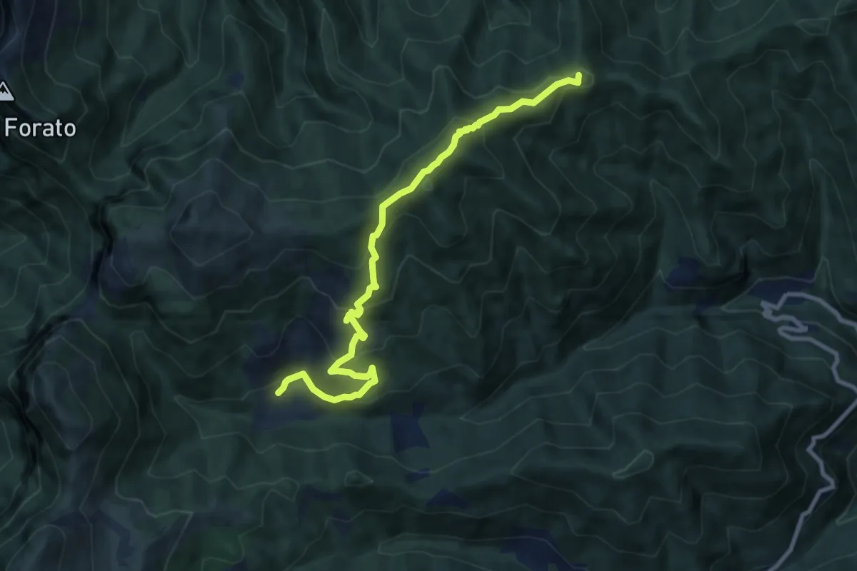
Medium · Summit
Trassilico – Palagnana
9.5 km · ↑ 687 m · 3 h 43 min · 11 km away
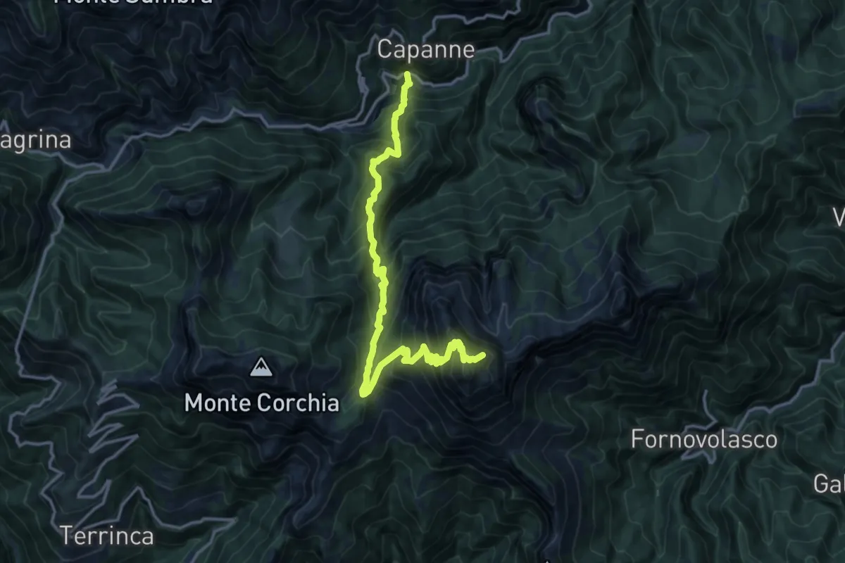
Demanding · Summit
Garfagnana Trekking - Tappa 2
14.9 km · ↑ 1592 m · 6 h 59 min · 11 km away
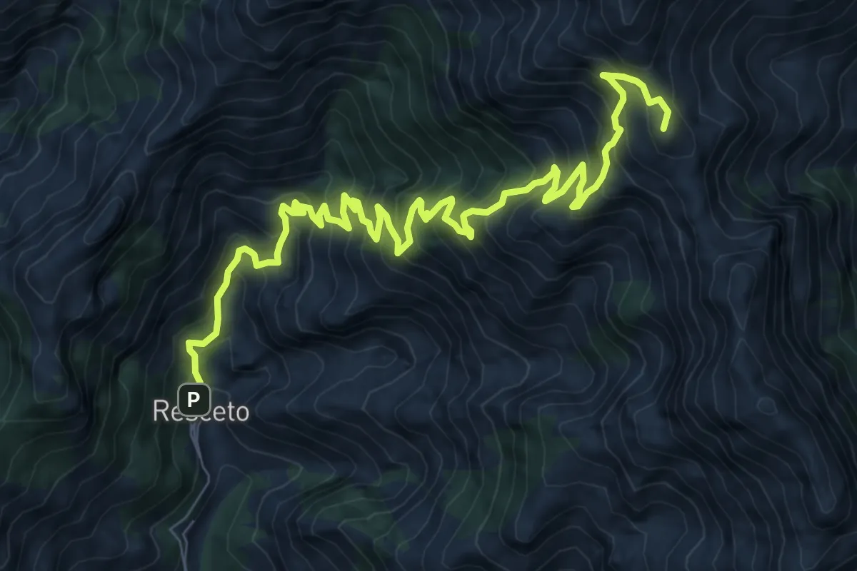
Demanding · Summit
Via Vandelli
11.2 km · ↑ 1340 m · 5 h 33 min · 11 km away
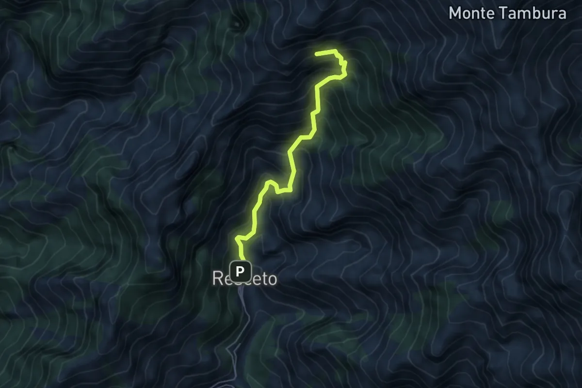
Demanding · Summit
Resceto – Sentiero CAI 162 ex 36
4.8 km · ↑ 701 m · 2 h 40 min · 11 km away
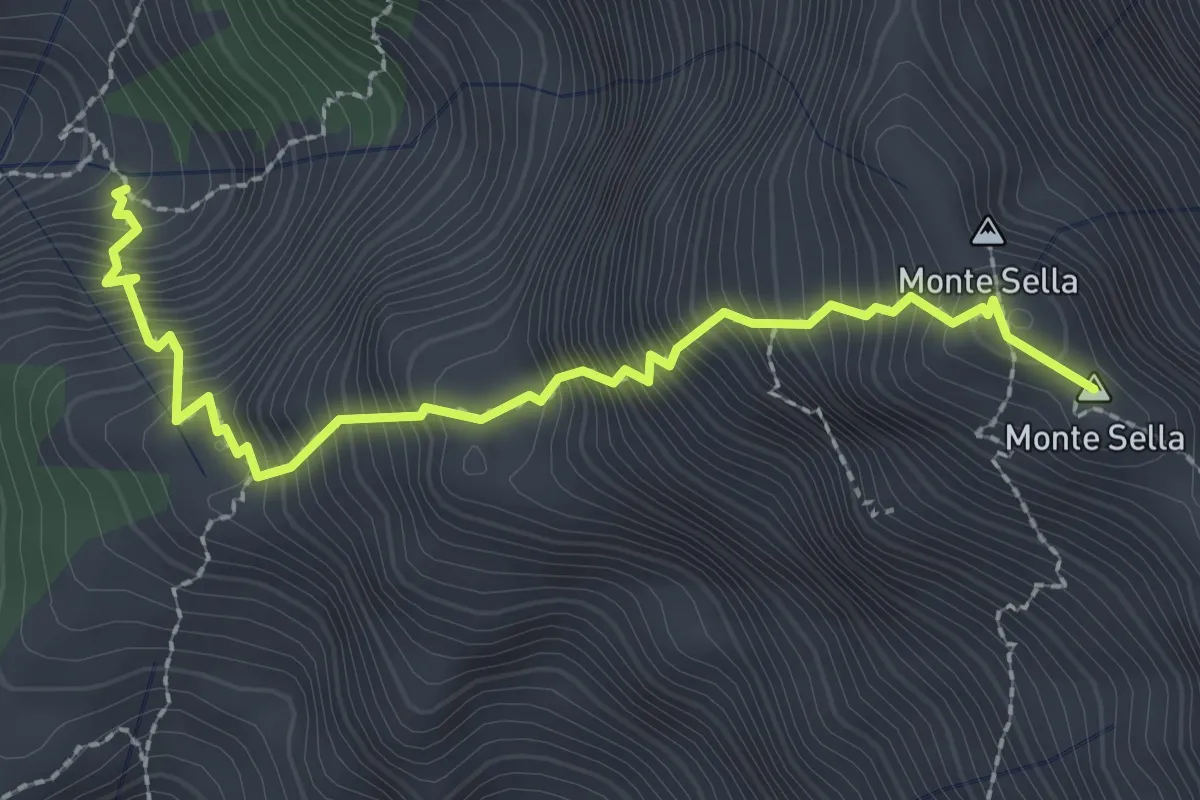
Demanding · Summit
Percorso 165 – Monte Sella
2.8 km · ↑ 558 m · 1 h 52 min · 11 km away
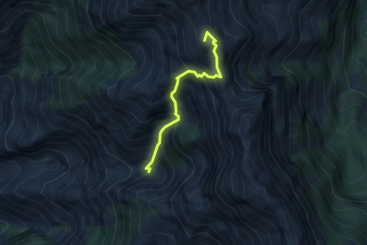
Expert · Summit
Canale della Neve – Passo della Tambura
3.6 km · ↑ 530 m · 1 h 59 min · 11 km away
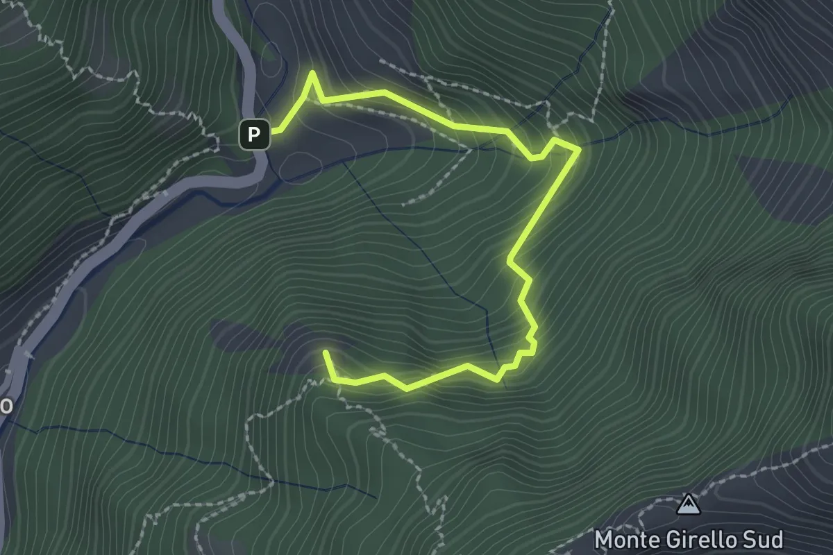
Medium · Summit
Forno – Casania
2.6 km · ↑ 270 m · 1 h 12 min · 11 km away
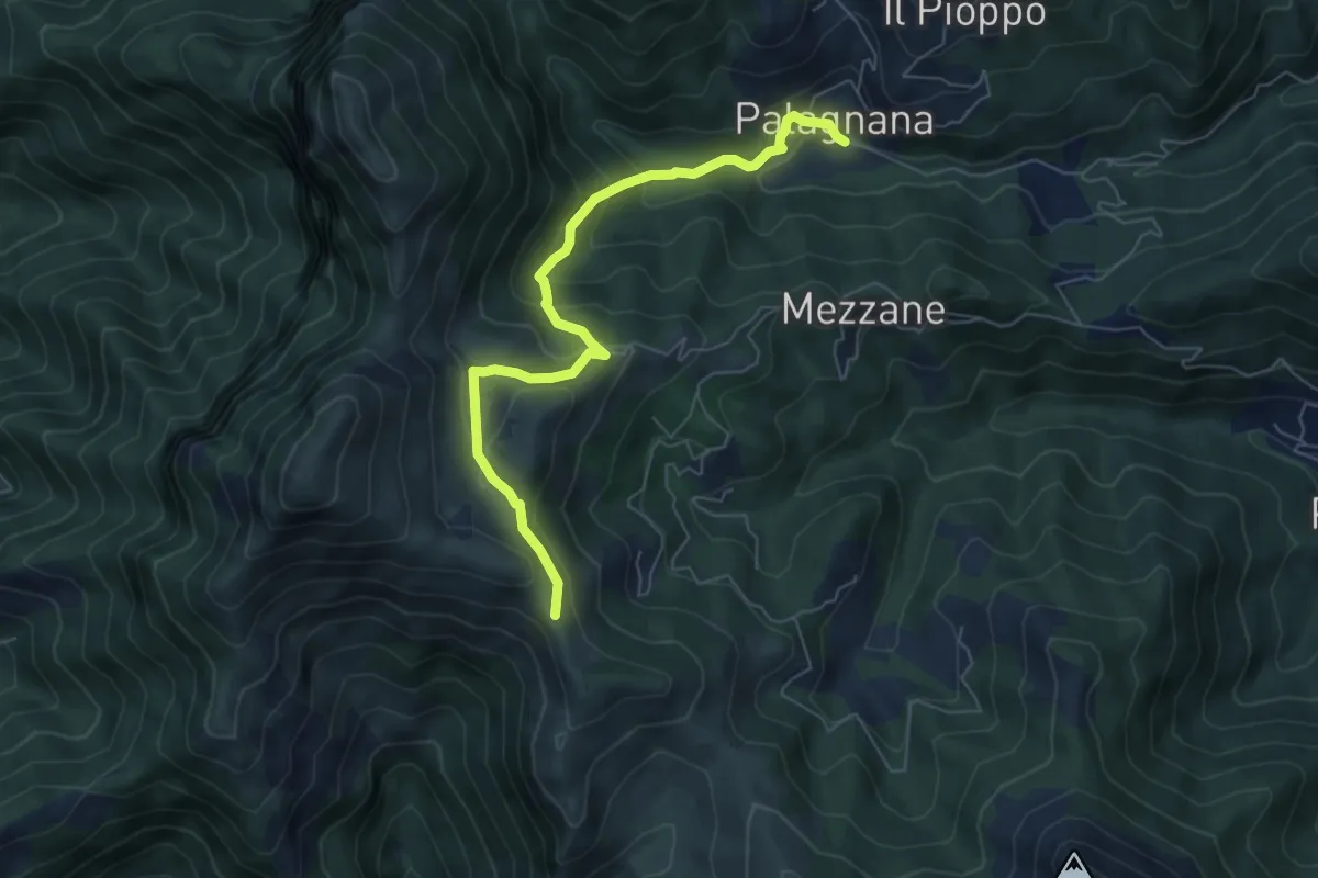
Medium · Trail
Foce del Pallone – Palagnana
6.6 km · ↑ 359 m · 2 h 21 min · 11 km away
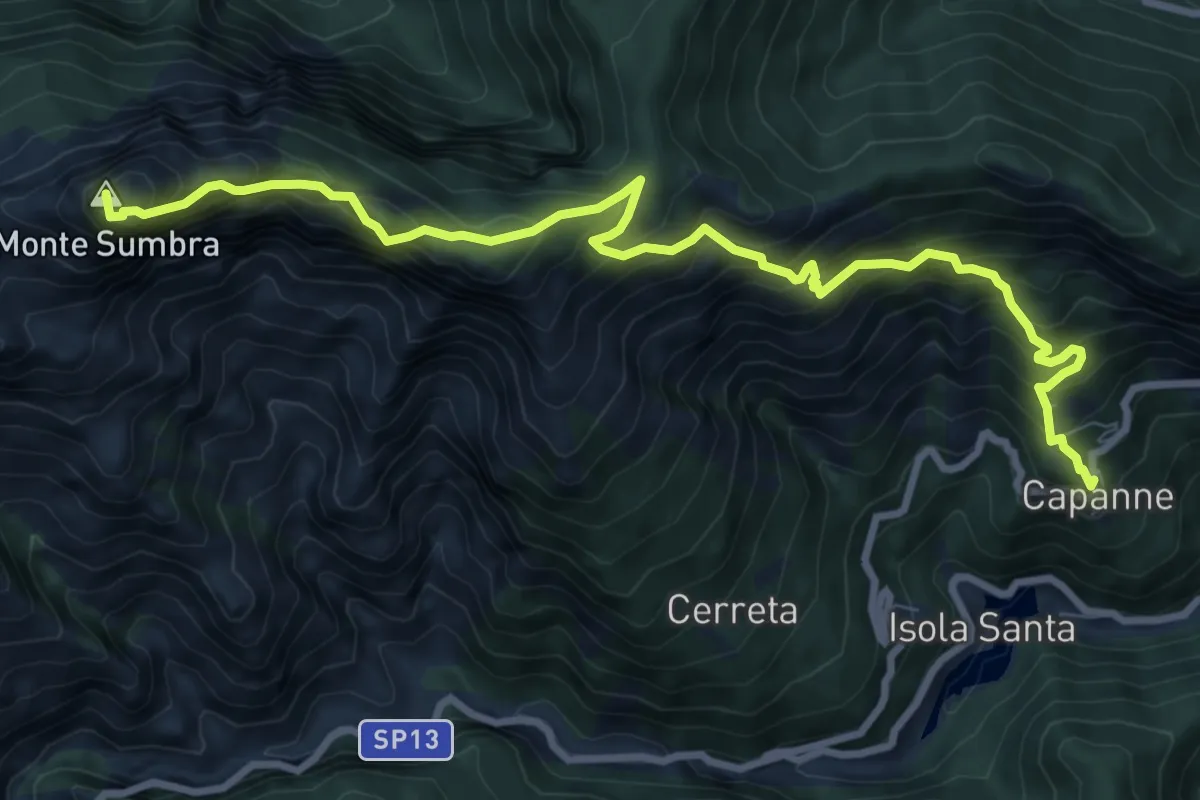
Demanding · Summit
Capanne di Careggine – Passo Fiocca
10.6 km · ↑ 1285 m · 5 h 17 min · 11 km away
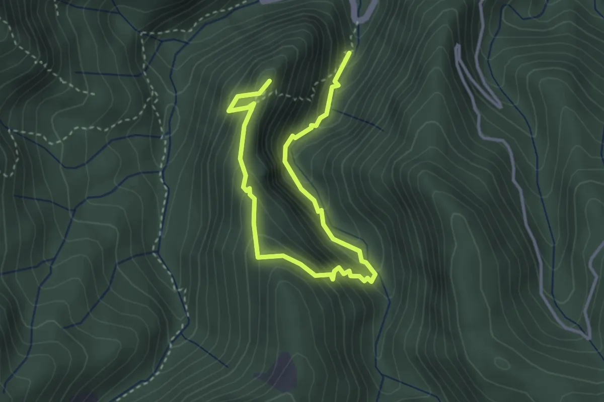
Medium · Summit
Anello del Battiferro
4.6 km · ↑ 392 m · 1 h 56 min · 11 km away
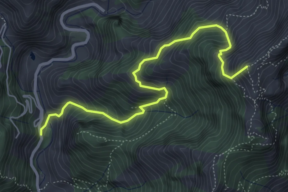
Medium · Summit
Resceto – Forno
6.0 km · ↑ 747 m · 3 h 2 min · 11 km away
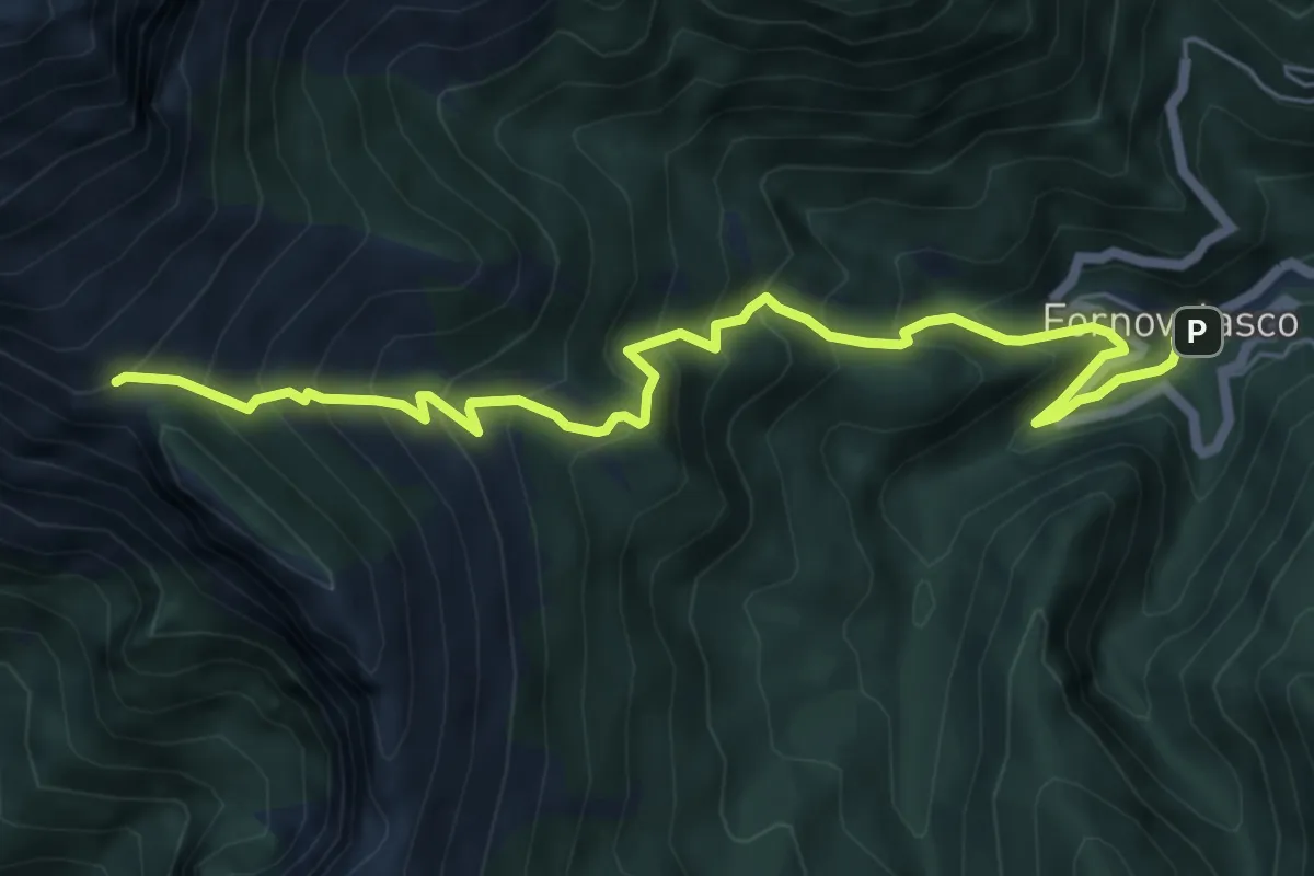
Medium · Trail
Fornovolasco – Foce di Valli
7.2 km · ↑ 800 m · 3 h 26 min · 11 km away
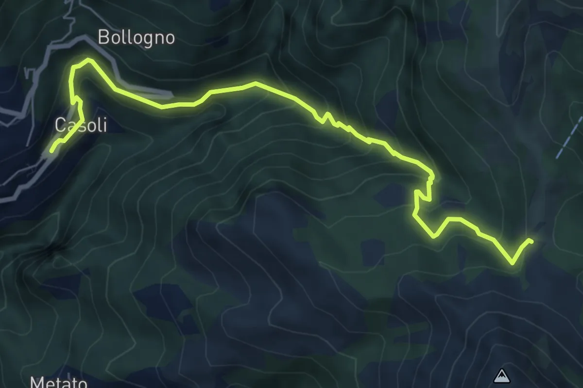
Medium · Trail
Casoli – Focetta di San Vincenzo
7.5 km · ↑ 672 m · 3 h 13 min · 11 km away
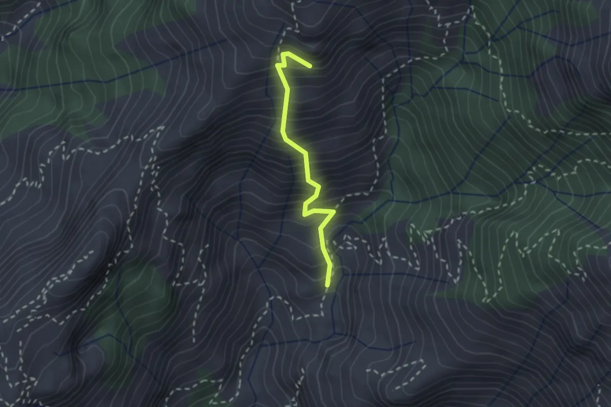
Medium · Summit
Lizza del Padulello
2.0 km · ↑ 490 m · 1 h 32 min · 11 km away
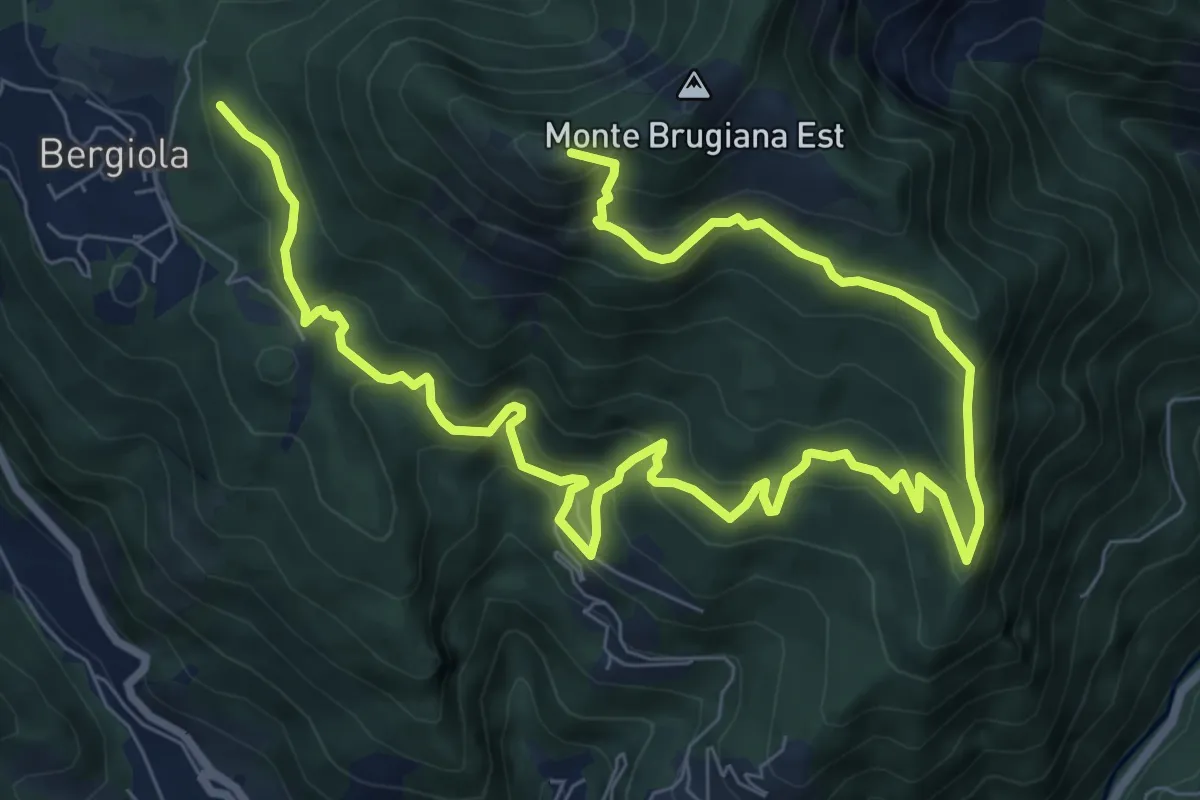
Demanding · Summit
Bergiola Foscalina (raccordo 152) – Monte Brugiana (raccordo 152)
13.2 km · ↑ 952 m · 5 h 11 min · 11 km away
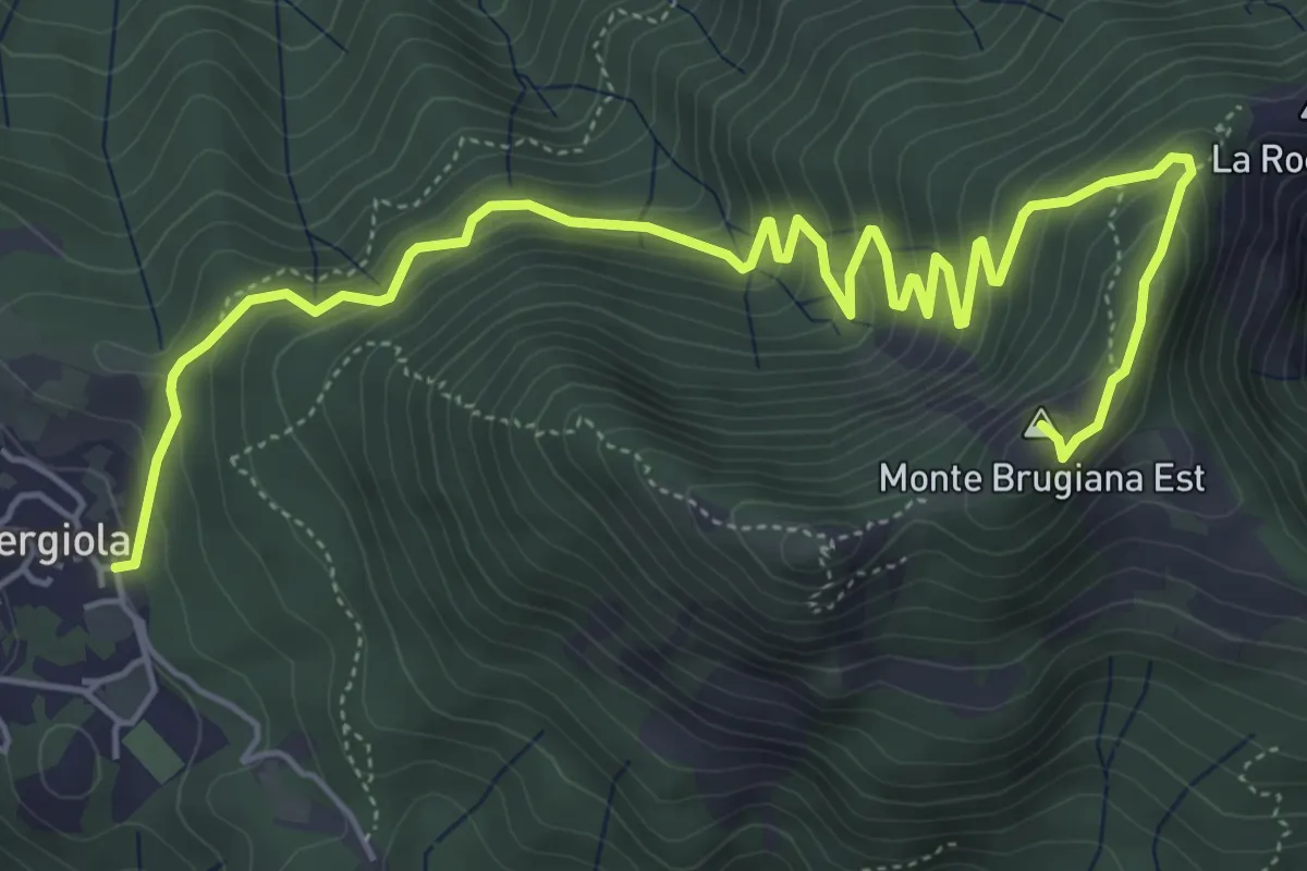
Expert · Summit
Bergiola Foscalina – Monte Brugiana
7.7 km · ↑ 572 m · 3 h 4 min · 11 km away
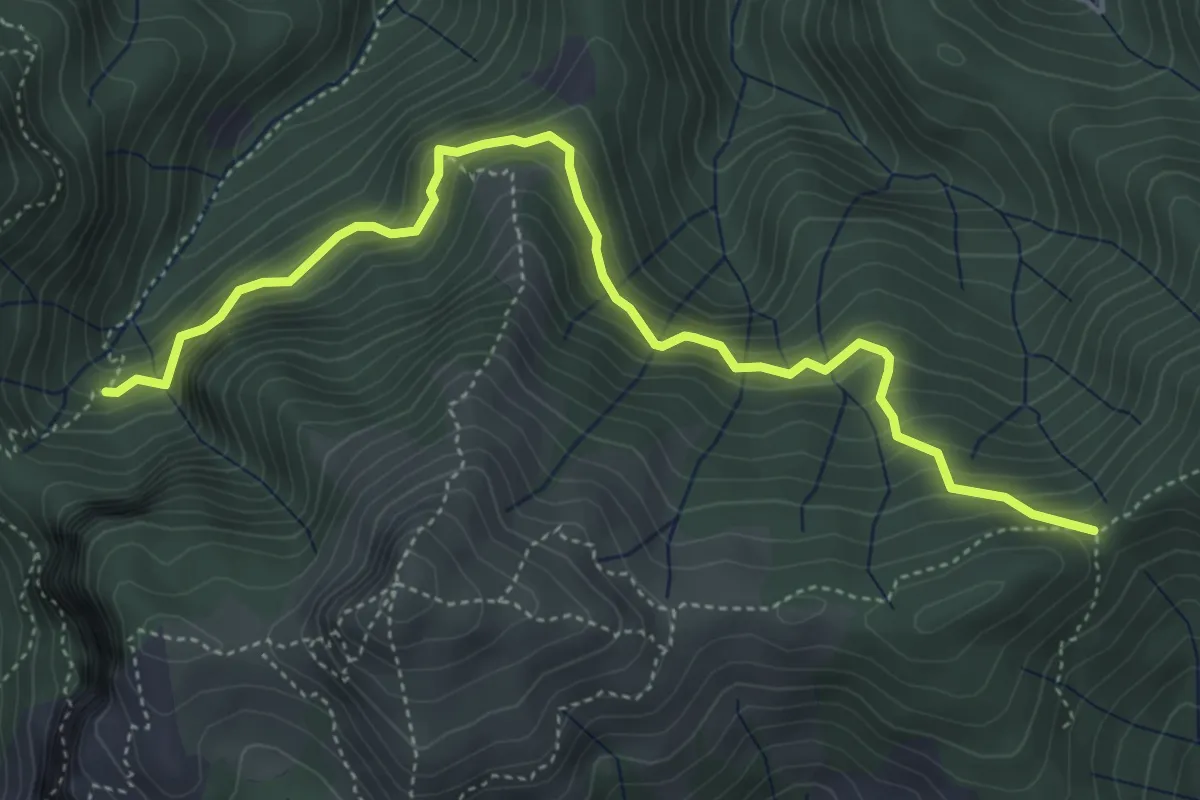
Demanding · Trail
Il Termine – innesto Sentiero 6
5.5 km · ↑ 583 m · 2 h 33 min · 11 km away
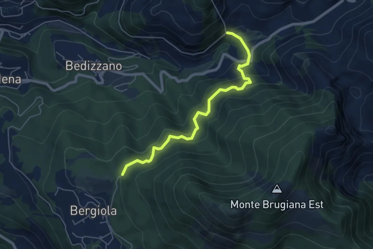
Medium · Trail
Sentiero dei Cavatori
5.0 km · ↑ 484 m · 2 h 13 min · 11 km away
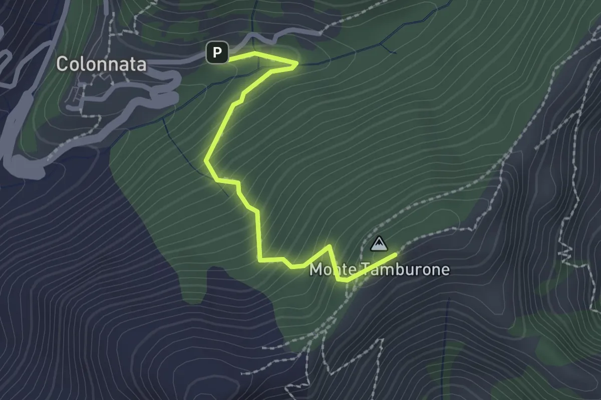
Easy · Summit
Colonnata – Croce di Gioia
2.1 km · ↑ 230 m · 1 h · 12 km away
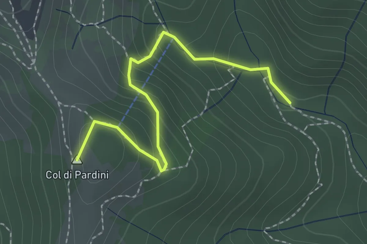
Medium · Summit
Ritrogoli – Campallorzo
2.1 km · ↑ 125 m · 46 min · 12 km away
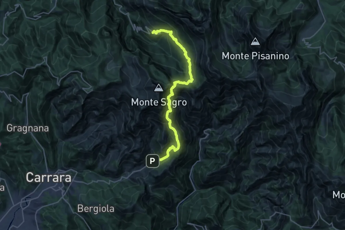
Demanding · Trail
Colonnata – Vinca
10.3 km · ↑ 1020 m · 4 h 40 min · 12 km away
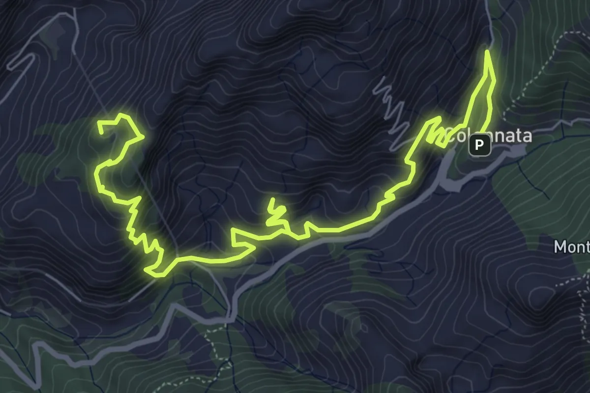
Demanding · Summit
Cammino di Aronte - Tappa 3
10.4 km · ↑ 832 m · 4 h 16 min · 12 km away
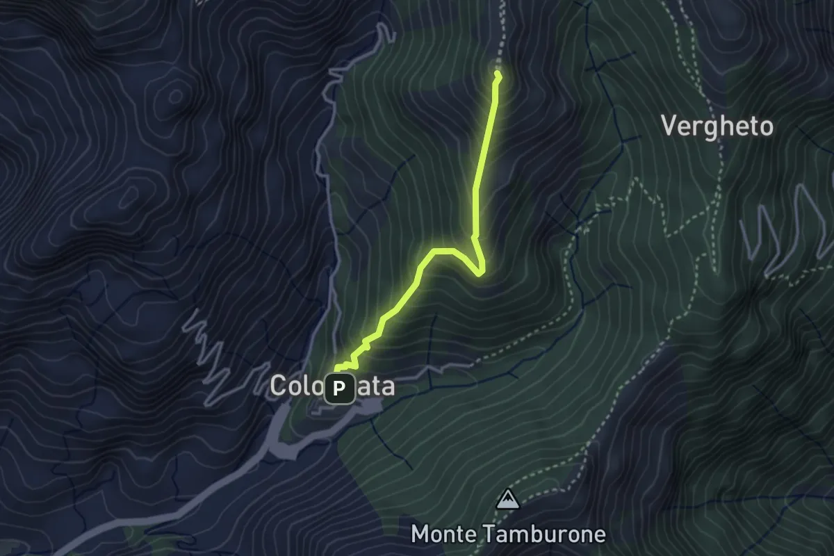
Medium · Summit
Colonnata – Vergheto
2.9 km · ↑ 404 m · 1 h 34 min · 12 km away
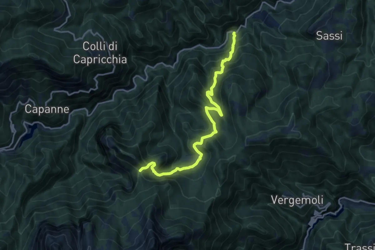
Demanding · Trail
Mulino al Riccio – Colle Panestra
12.3 km · ↑ 979 m · 5 h 1 min · 12 km away
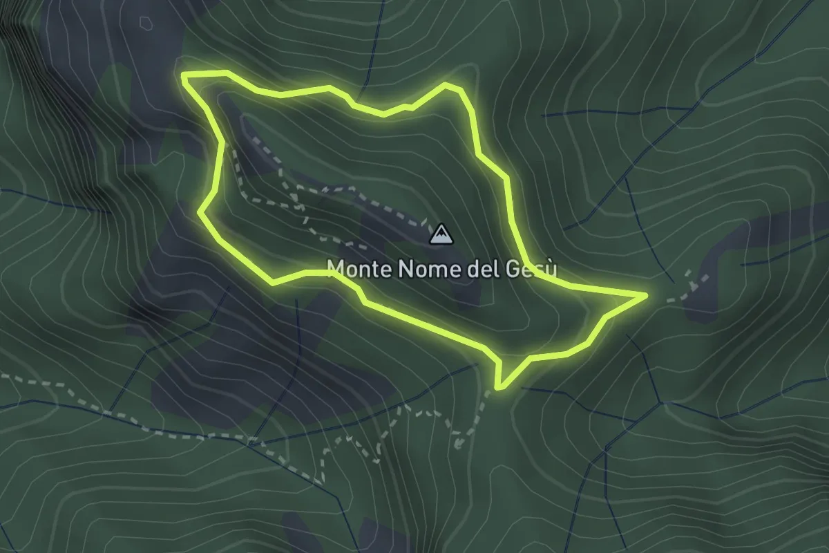
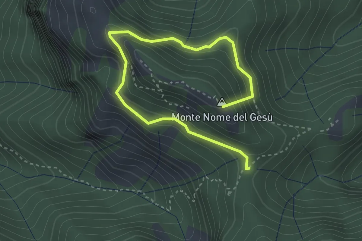
Medium · Summit
Fosco Maraini 4 - Tignoso Rovaio
2.5 km · ↑ 192 m · 1 h 2 min · 12 km away
Medium · Summit
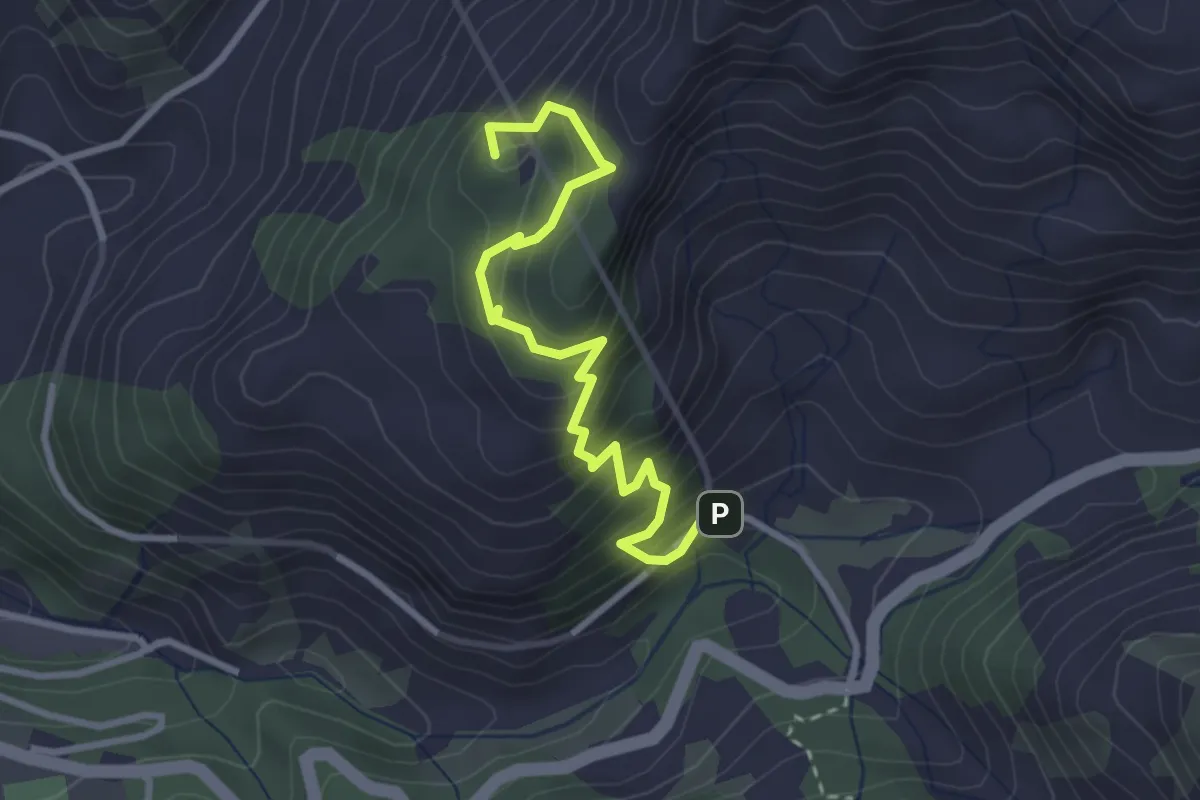
Sentiero della Libertà
3.9 km · ↑ 368 m · 1 h 43 min · 12 km away
Medium · Summit
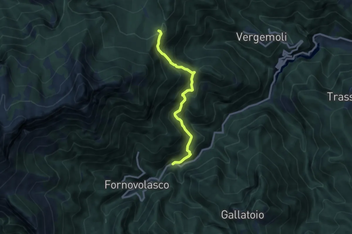
Sentiero del Marmo
3.3 km · ↑ 349 m · 1 h 31 min · 12 km away
Medium · Trail
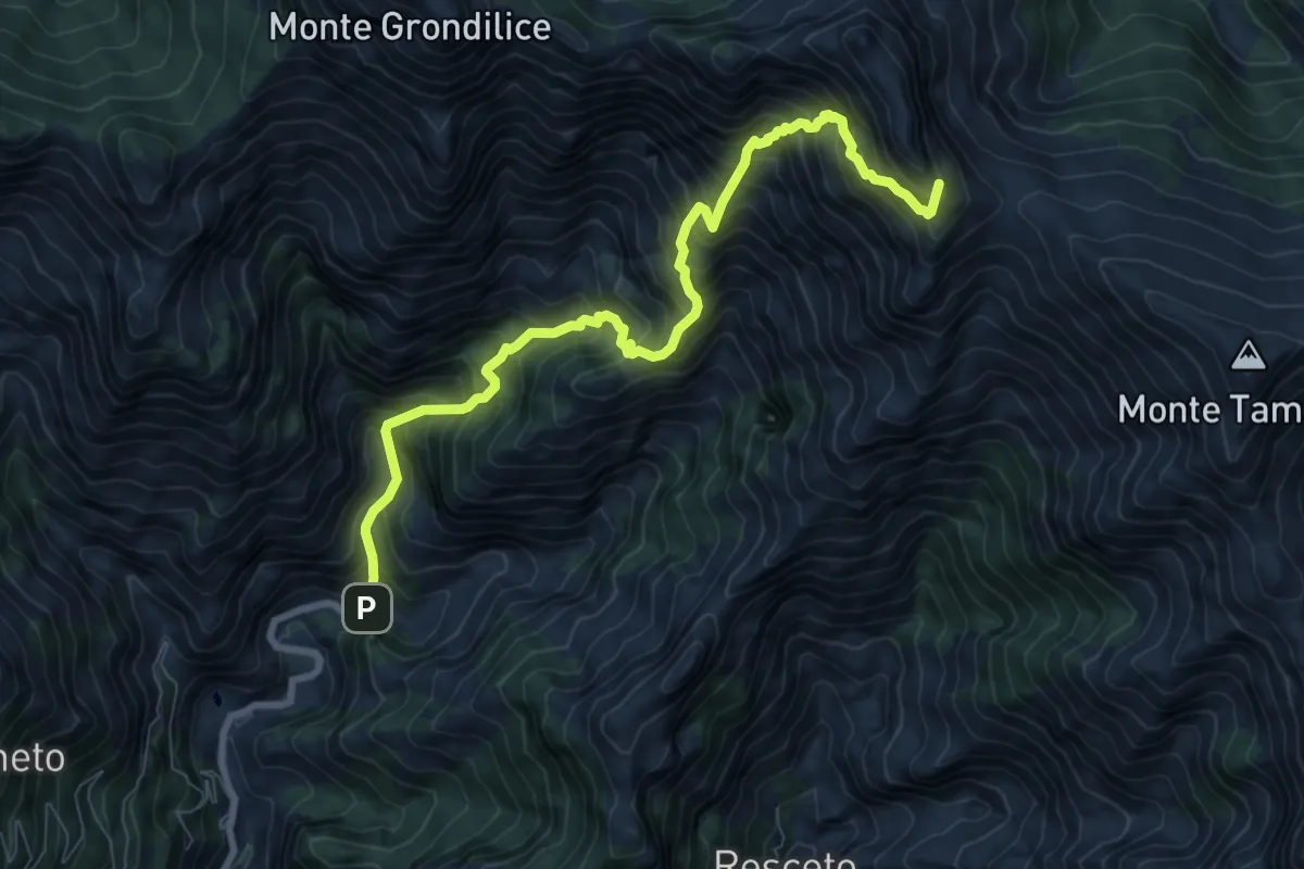
Boscaccio (Fornovolasco) – Le Rocchette
6.7 km · ↑ 647 m · 2 h 59 min · 12 km away
Demanding · Summit
Biforco – Passo della Focolaccia
9.3 km · ↑ 1427 m · 5 h 17 min · 12 km away
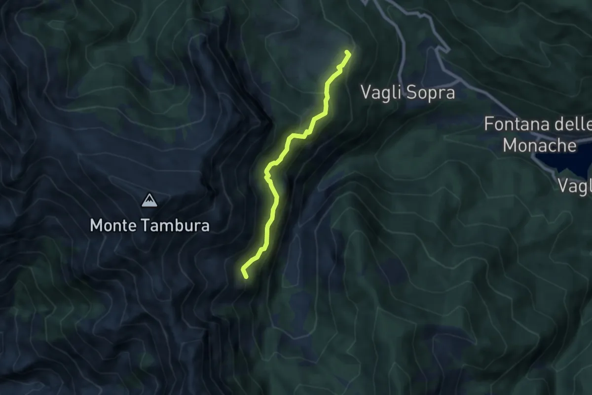
Expert · Trail
Campocatino – Percorso 135
5.7 km · ↑ 430 m · 2 h 16 min · 12 km away
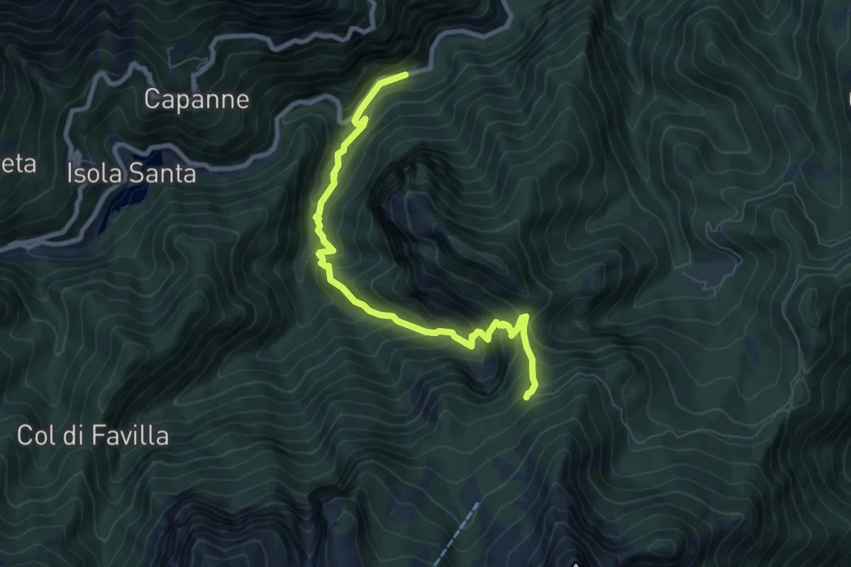
Medium · Trail
Pizzorno – Piglionico
7.9 km · ↑ 751 m · 3 h 29 min · 12 km away
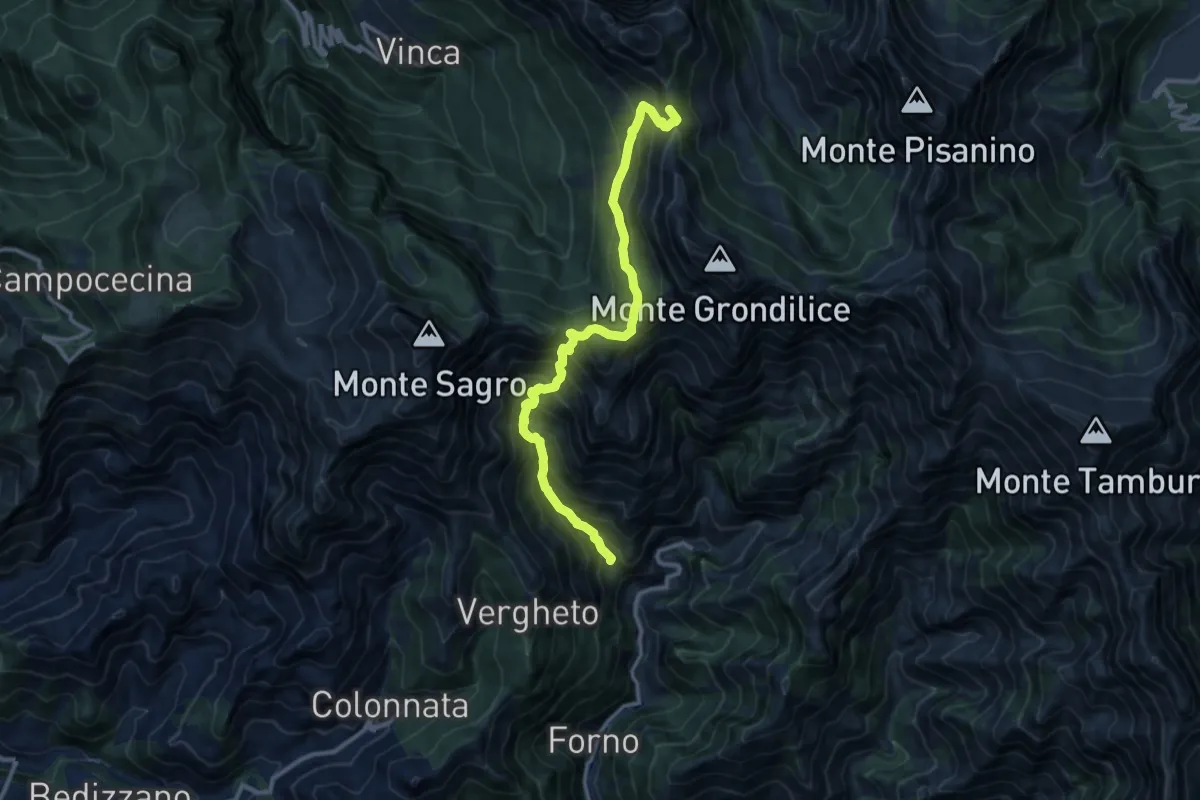
Demanding · Summit
Località Mozziconi (Forno) – Val Serenaia
12.2 km · ↑ 1328 m · 5 h 46 min · 12 km away
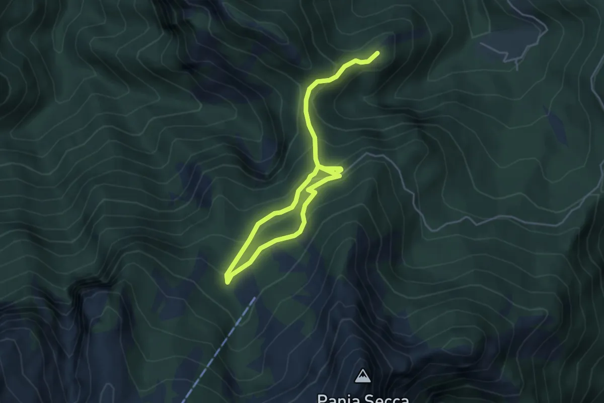
Medium · Trail
Fosco Maraini 6 - Lo sguardo del miramondo
6.1 km · ↑ 514 m · 2 h 33 min · 12 km away
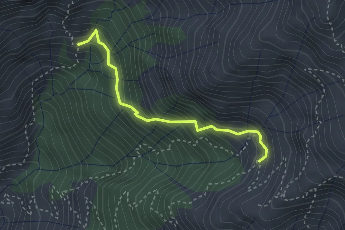
Demanding · Trail
Via Vandelli (Percorso 135) – Quota 1000 Canal Pianone
2.6 km · ↑ 389 m · 1 h 27 min · 12 km away
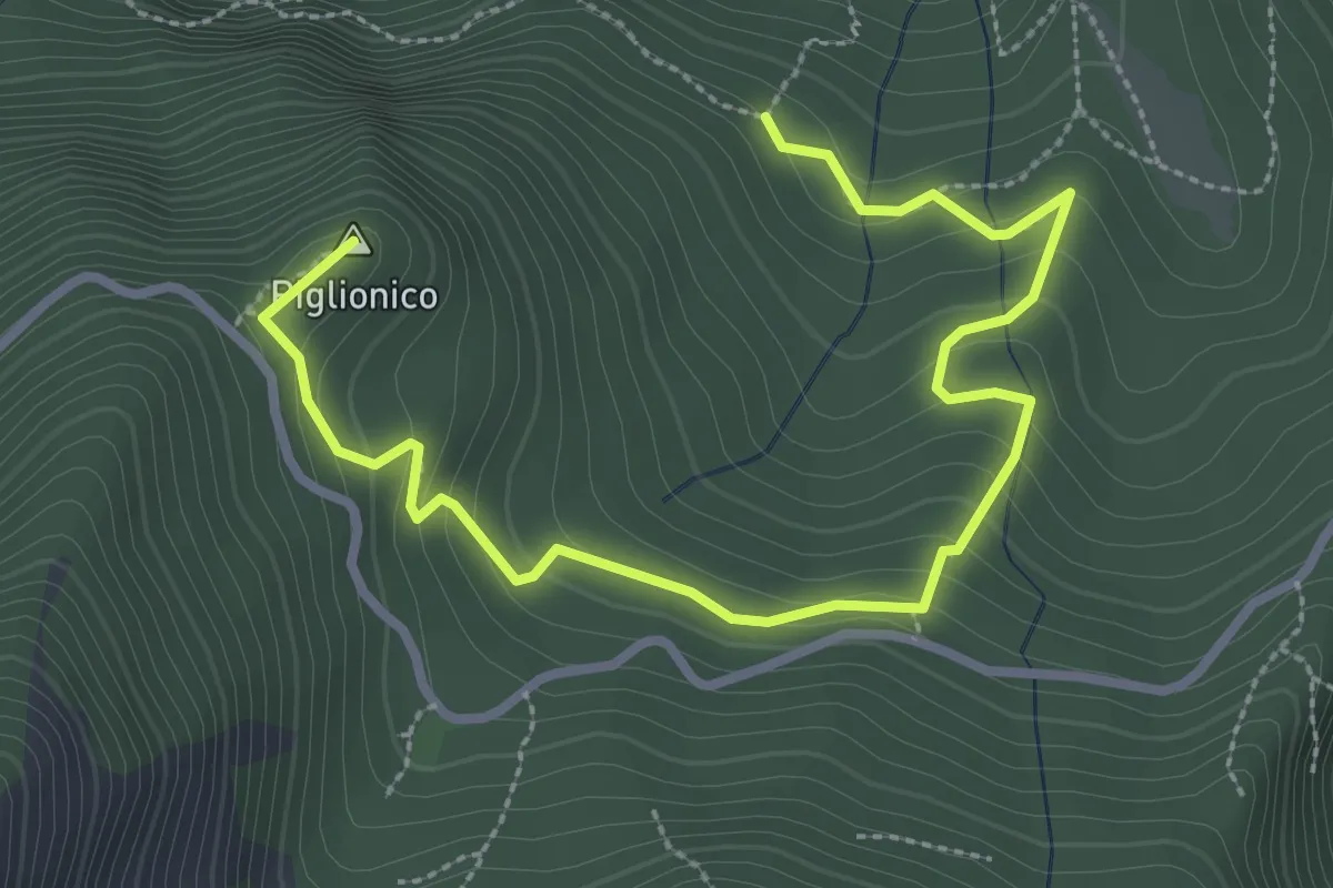
Medium · Summit
Fosco Maraini 5 - Lo specchio-cellulare
3.9 km · ↑ 306 m · 1 h 35 min · 12 km away
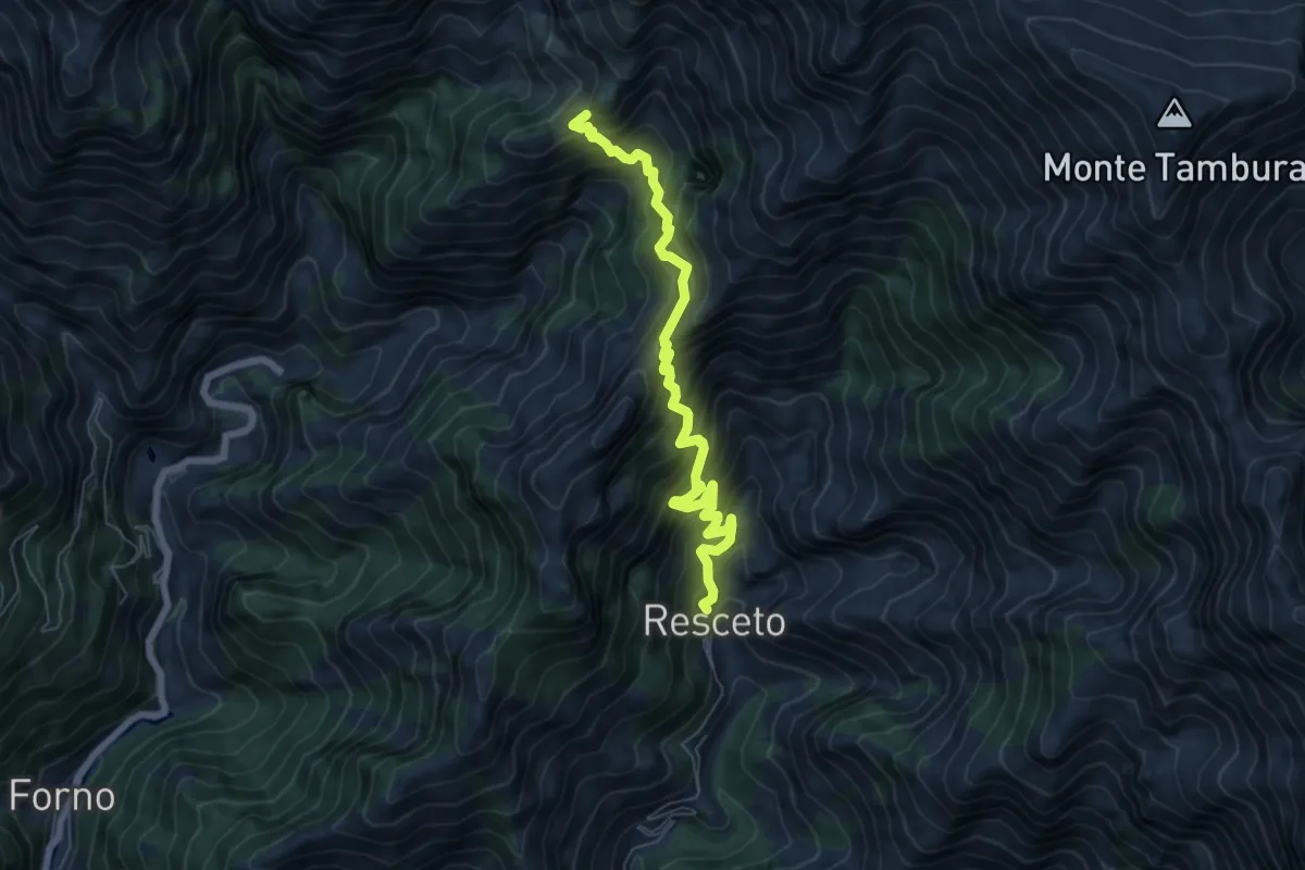
Demanding · Trail
Resceto – Case Carpano
6.9 km · ↑ 851 m · 3 h 29 min · 13 km away
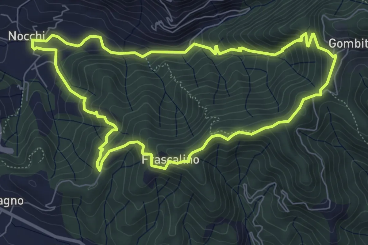
Medium · Trail
ANELLO 11 - NOCCHI - GOMBITELLI - MONTEMAGNO - NOCCHI
6.6 km · ↑ 420 m · 2 h 34 min · 13 km away
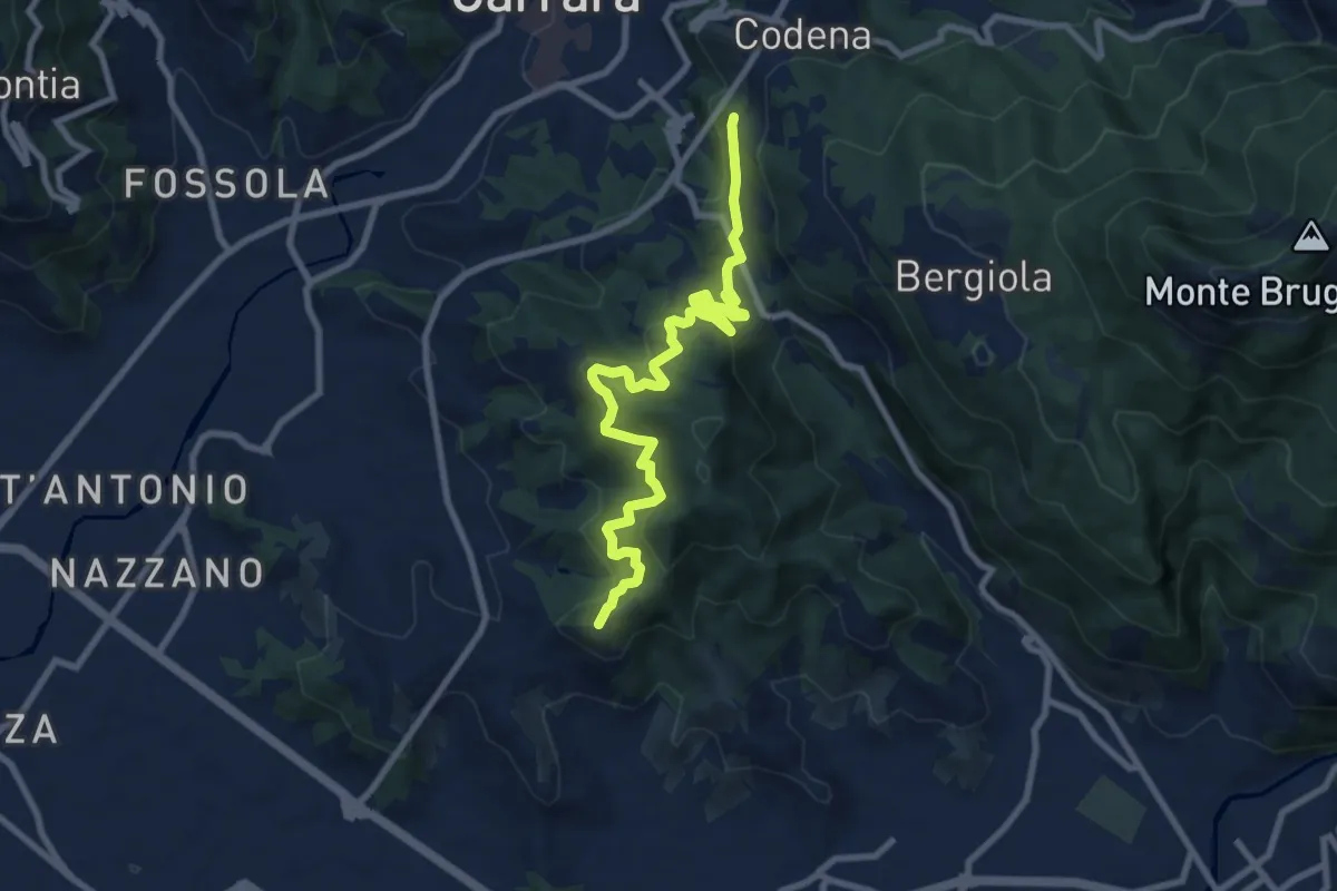
Medium · Summit
Cammino di Aronte - Tappa 5
10.0 km · ↑ 600 m · 3 h 39 min · 13 km away
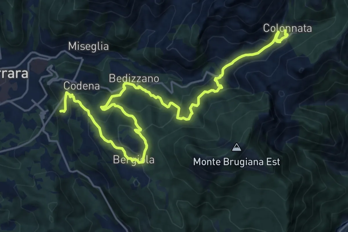
Demanding · Trail
Cammino di Aronte - Tappa 4
18.3 km · ↑ 1367 m · 7 h 16 min · 13 km away
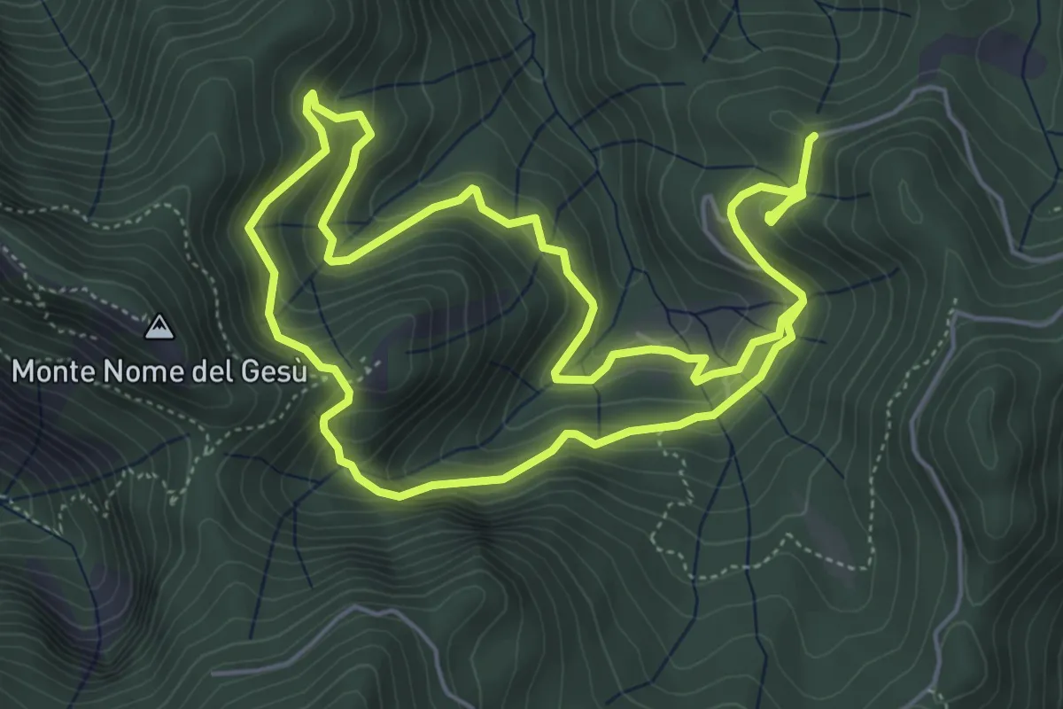
Medium · Trail
Fosco Maraini 3 - Pasquigliora centro del mondo
10.7 km · ↑ 664 m · 3 h 58 min · 13 km away
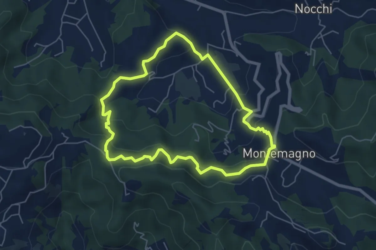
Easy · Trail
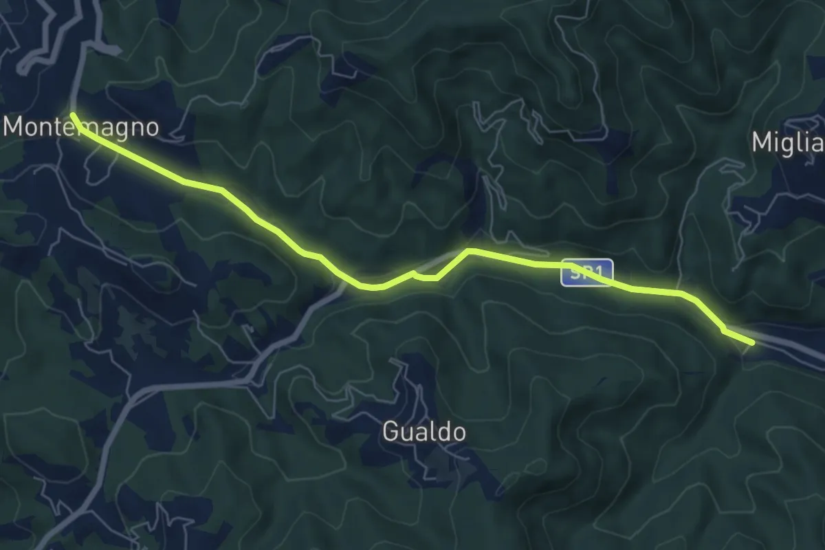
ANELLO 12 - PONTEMAZZORI - MONTEMAGNO - PONTEMAZZORI
4.8 km · ↑ 275 m · 1 h 48 min · 13 km away
Easy · Pilgrim path
Via Francigena - Variante
3.5 km · ↑ 9 m · 56 min · 13 km away
Medium · Trail
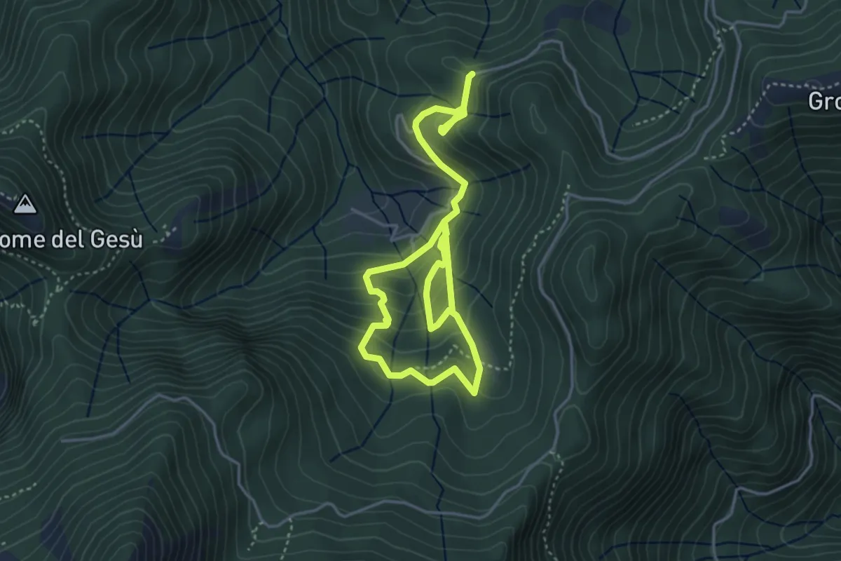
Fosco Maraini 2 - Ritorno alle Origini
6.4 km · ↑ 472 m · 2 h 32 min · 13 km away
Demanding · Summit
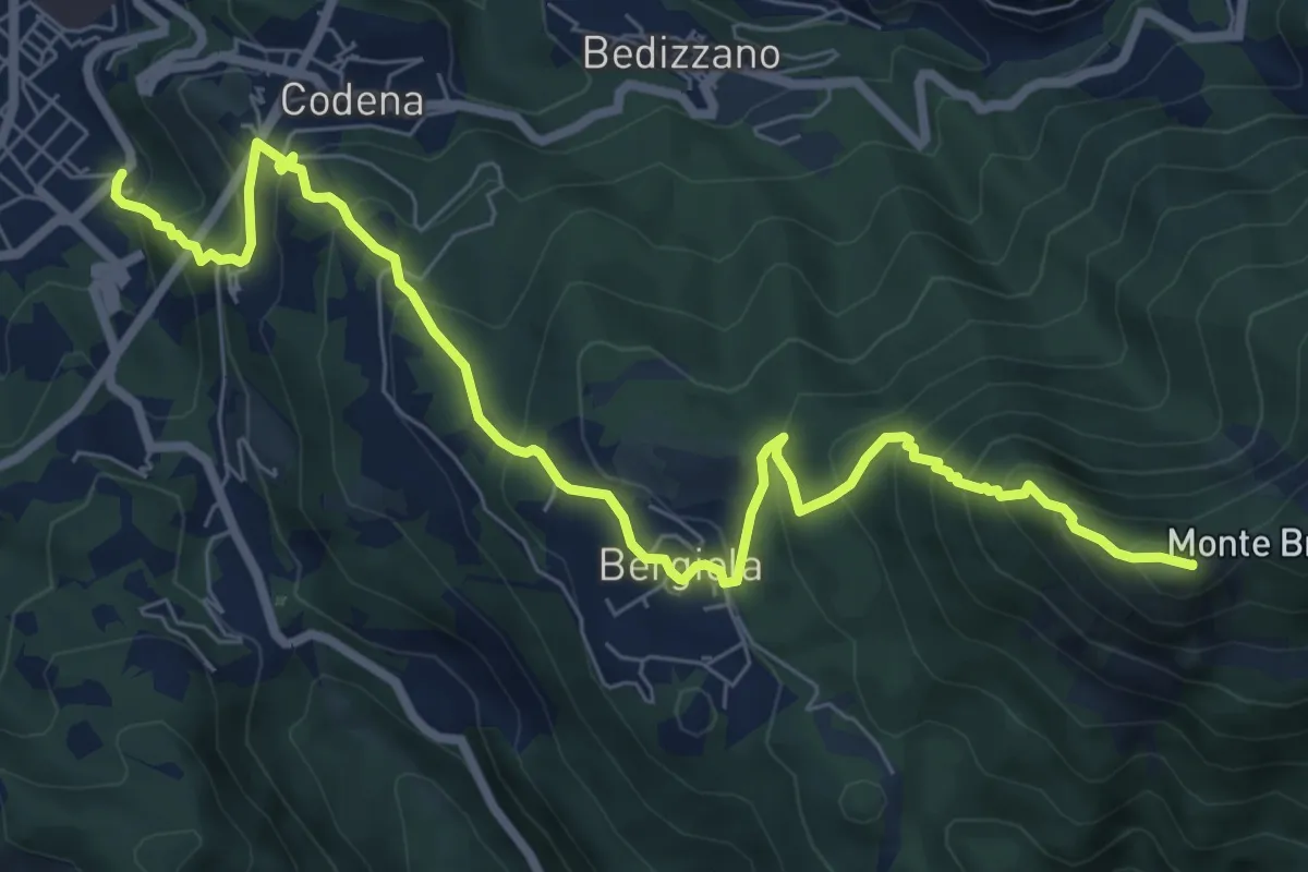
Carrara – Monte Brugiana
9.3 km · ↑ 847 m · 4 h 2 min · 13 km away
Demanding · Summit
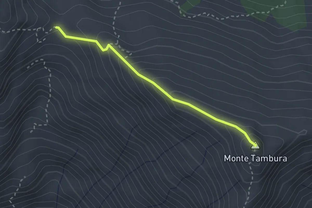
Passo Della Focolaccia – Passo della Tambura
2.4 km · ↑ 186 m · 58 min · 13 km away