Trails near Seravezza
161 hikes starting within 15 km, nearest first.
Nearest first, page 4 of 4
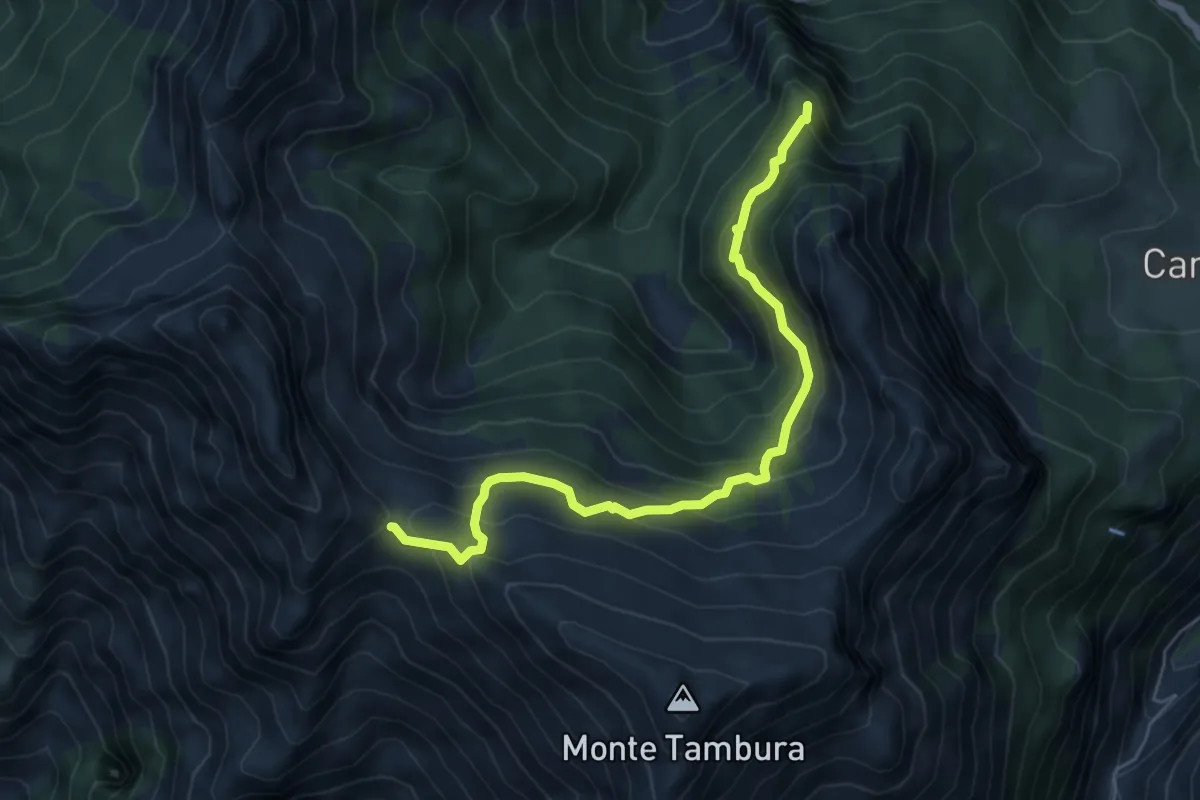
Demanding · Summit
Vagli Sopra – Passo della Focolaccia
6.3 km · ↑ 525 m · 2 h 38 min · 13 km away
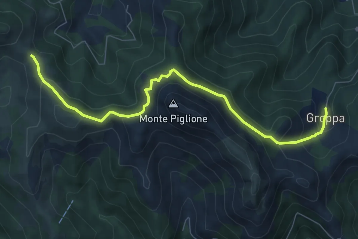
Medium · Trail
Groppa – Foce del Crocione
7.3 km · ↑ 390 m · 2 h 34 min · 13 km away
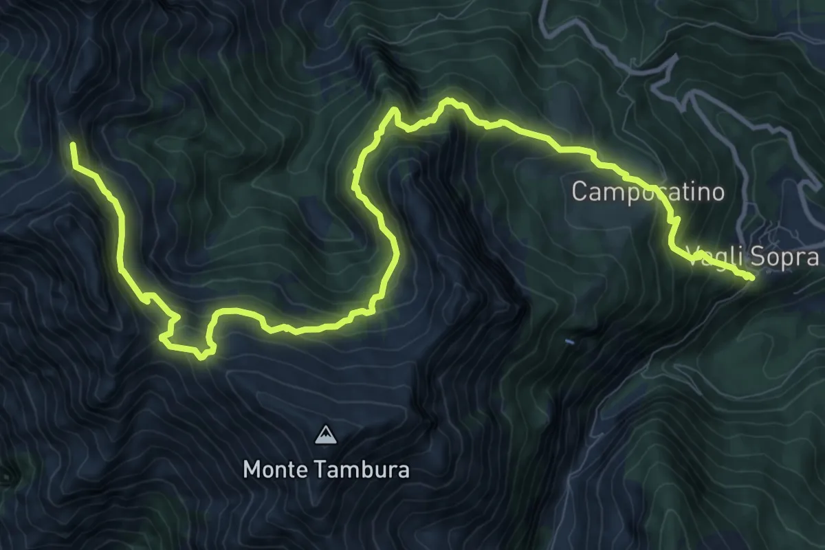
Demanding · Summit
Garfagnana Trekking - Tappa 4
15.4 km · ↑ 1320 m · 6 h 29 min · 14 km away
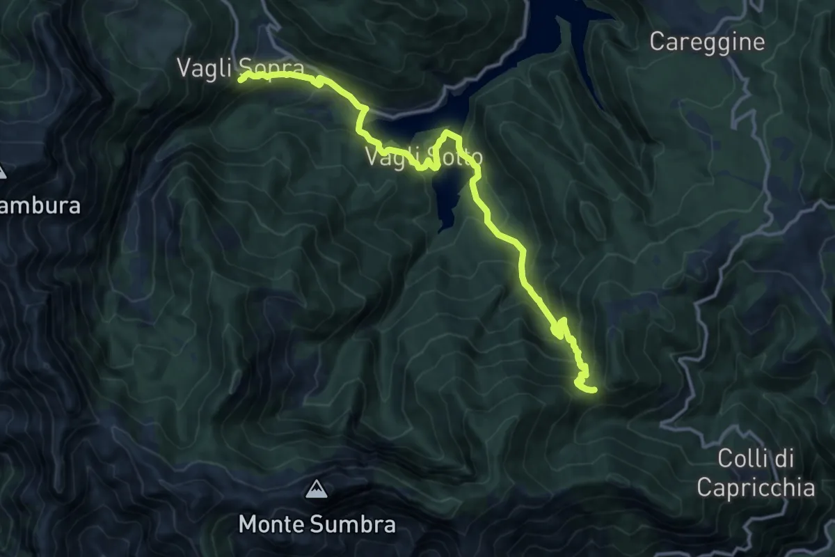
Demanding · Summit
Garfagnana Trekking - Tappa 3
14.8 km · ↑ 1090 m · 5 h 52 min · 14 km away
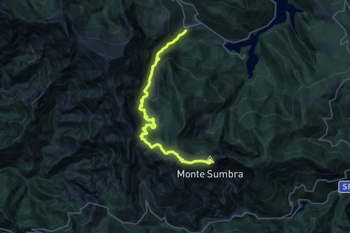
Demanding · Summit
Garfagnana Trekking - Tappa 3b
18.2 km · ↑ 1520 m · 7 h 35 min · 14 km away
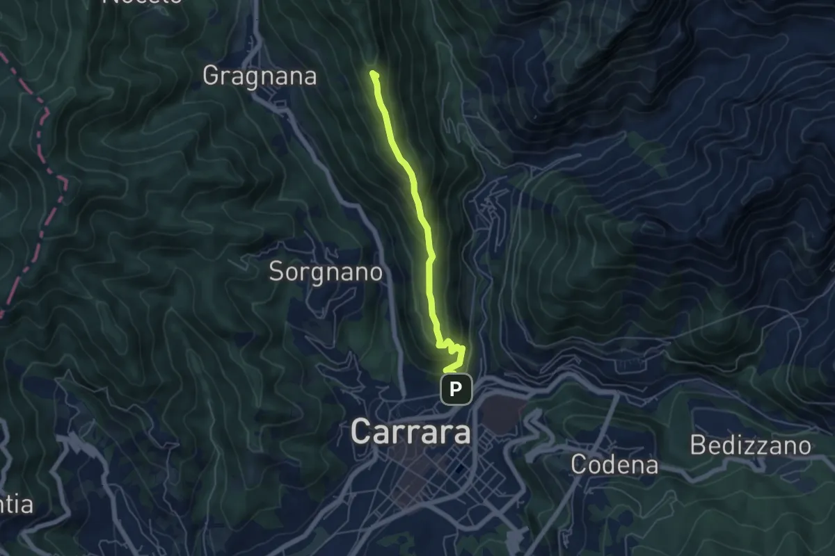
Medium · Summit
Carrara (San Rocco) – La Pianaccia
4.8 km · ↑ 356 m · 1 h 54 min · 14 km away
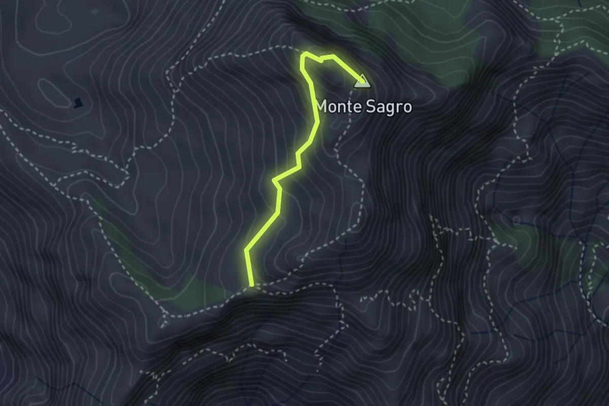
Medium · Summit
Via Normale al Sagro
2.5 km · ↑ 246 m · 1 h 8 min · 14 km away
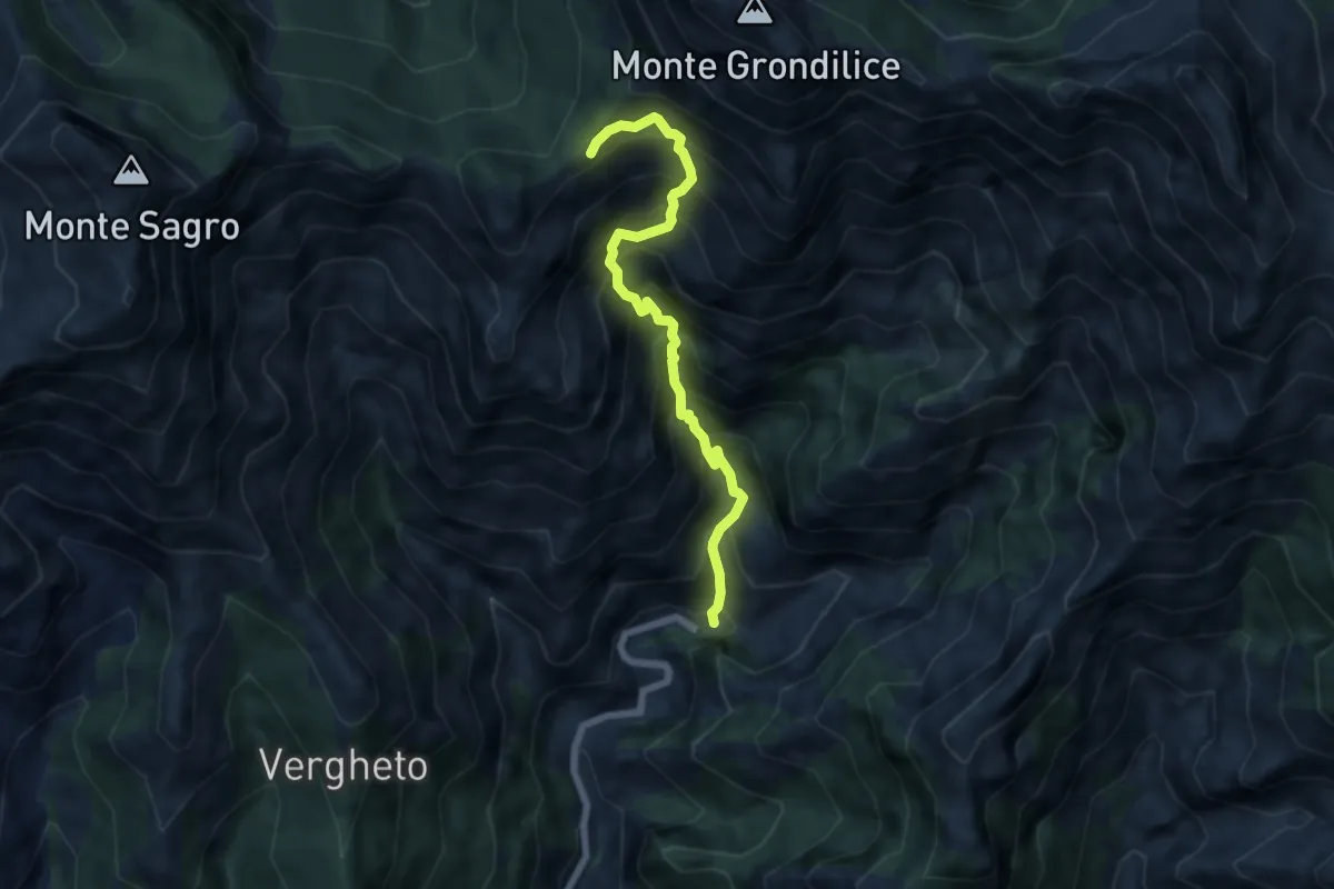
Demanding · Trail
Biforco – Foce Rasori
6.5 km · ↑ 1081 m · 3 h 53 min · 14 km away
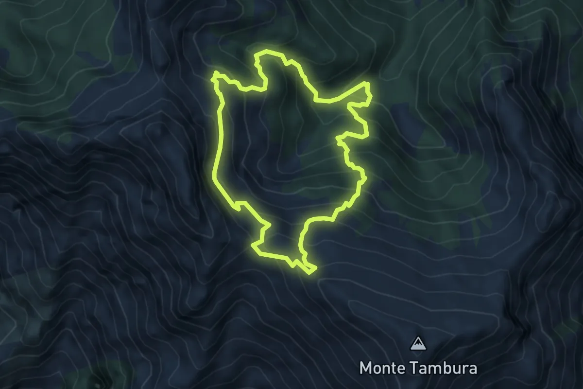
Demanding · Trail
Sentiero dei meno mille
5.1 km · ↑ 514 m · 2 h 23 min · 14 km away
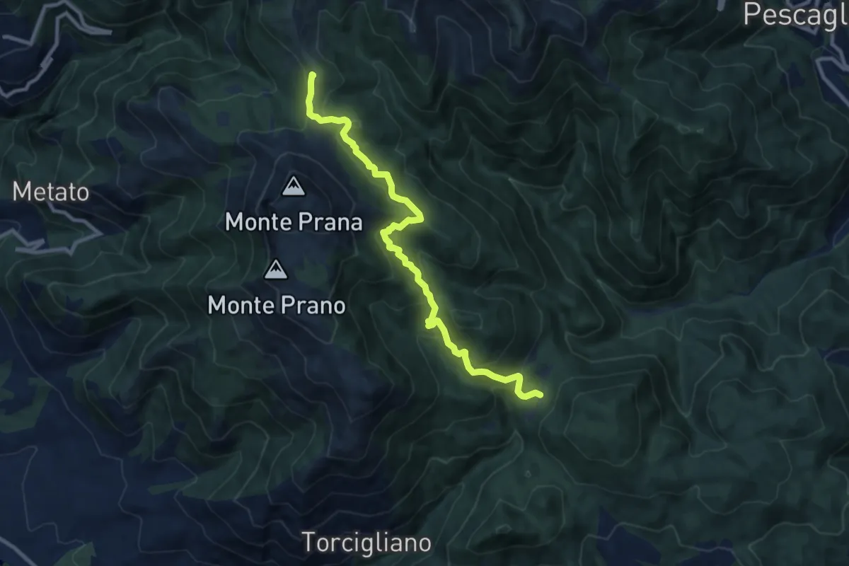
Medium · Summit
Passo del Lucese – Rifugio Alto Matanna
9.8 km · ↑ 572 m · 3 h 33 min · 14 km away
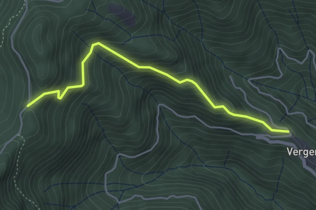
Medium · Trail
Vergemoli – Le Rocchette (strada del Piglionico)
4.1 km · ↑ 376 m · 1 h 48 min · 14 km away
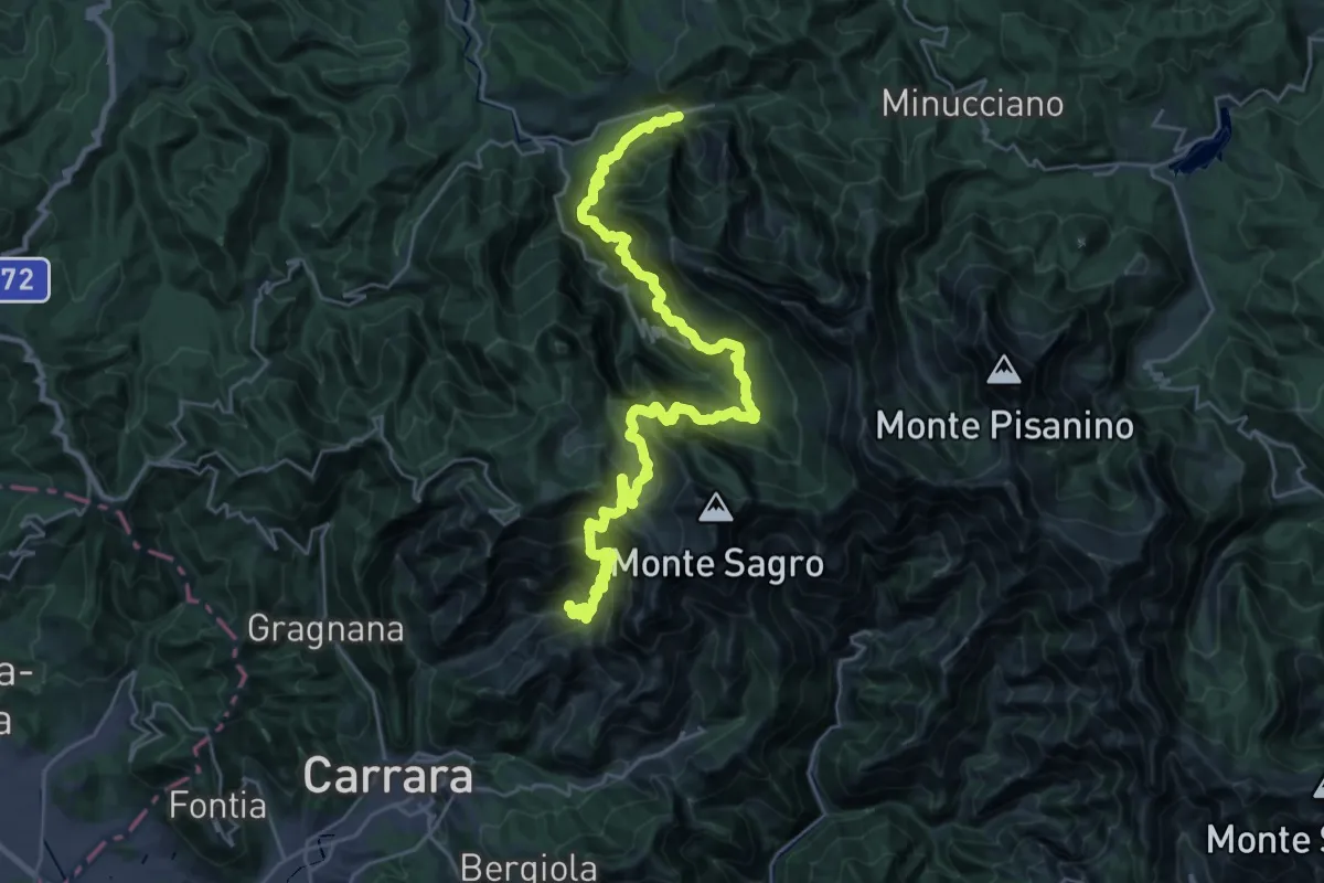
Demanding · Trail
Ravaccione – Equi Terme
17.2 km · ↑ 1454 m · 7 h 33 min · 14 km away
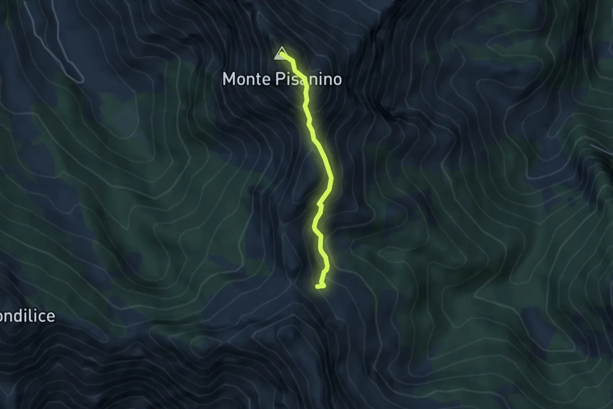
Expert · Summit
Via Normale Monte Pisanino
3.2 km · ↑ 467 m · 1 h 46 min · 14 km away
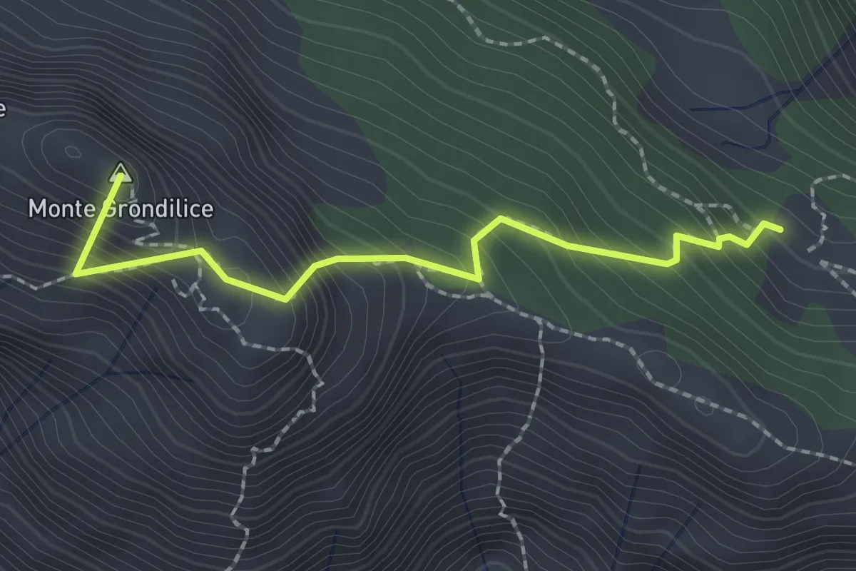
Demanding · Summit
Foce di Rasori – Orto di Donna
2.1 km · ↑ 266 m · 1 h 4 min · 14 km away
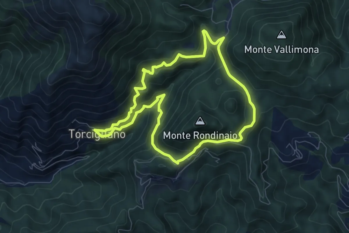
Medium · Trail
ANELLO 13 - TORCIGLIANO - PASSO DEL LUCESE - BUCA DEL CORNO - TORCIGLIANO
7.1 km · ↑ 510 m · 2 h 52 min · 14 km away
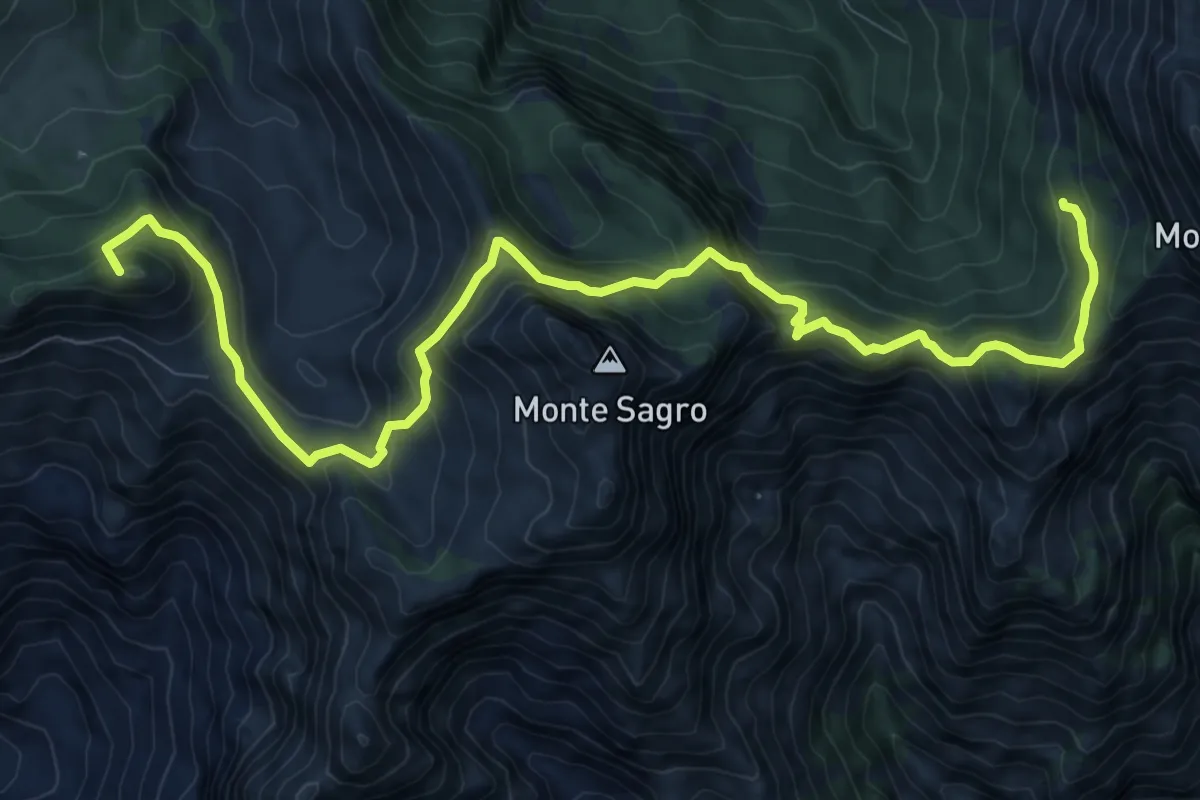
Demanding · Summit
Rifugio Carrara – Capanna Garnerone
12.4 km · ↑ 912 m · 4 h 54 min · 14 km away
Easy · Trail
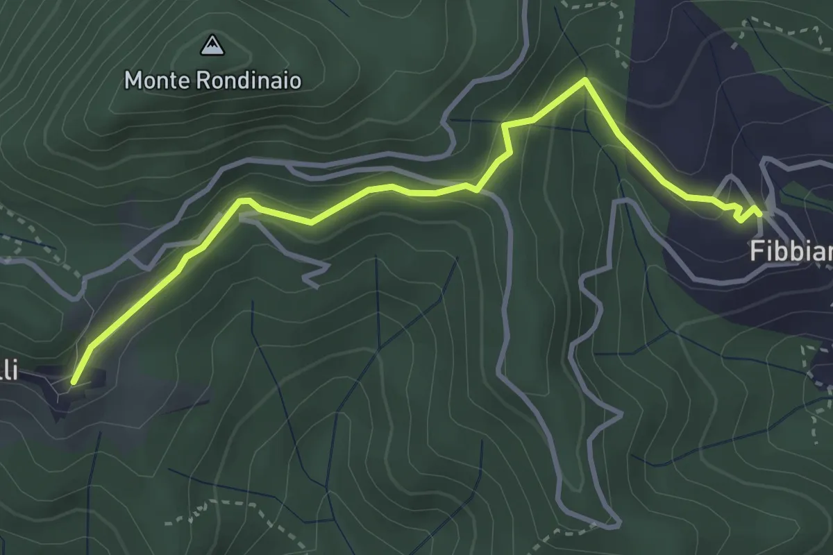
Traversata delle Frazioni Camaioresi (variante)
3.7 km · ↑ 194 m · 1 h 17 min · 15 km away