Trails near Sesto Calende
124 hikes starting within 15 km, nearest first.
Nearest first, page 2 of 3
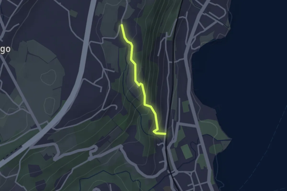
Easy · Trail
Percorso della Valcabbia
2.1 km · ↑ 146 m · 48 min · 11 km away
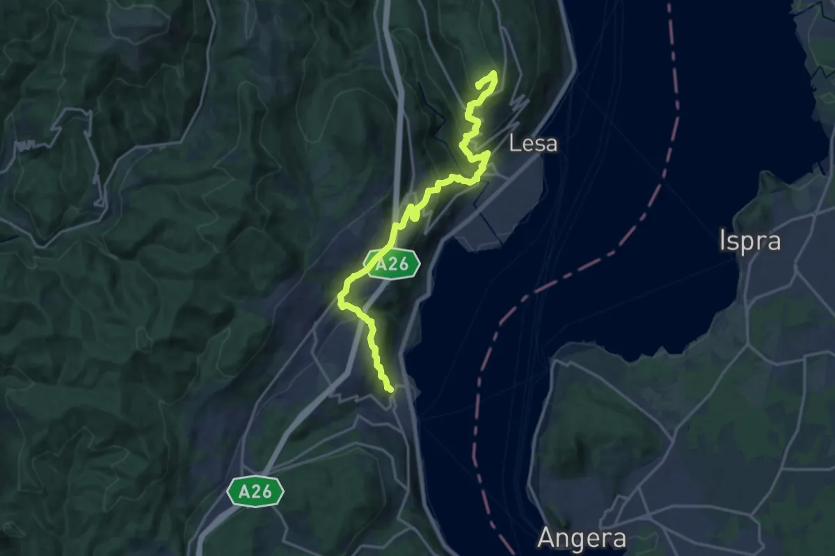
Demanding · Summit
Grand Tour del Lago Maggiore ® - Tappa 2 - Variante alta Monte alle Croci - Massino Visconti - Nebbiuno
18.1 km · ↑ 954 m · 6 h 20 min · 11 km away
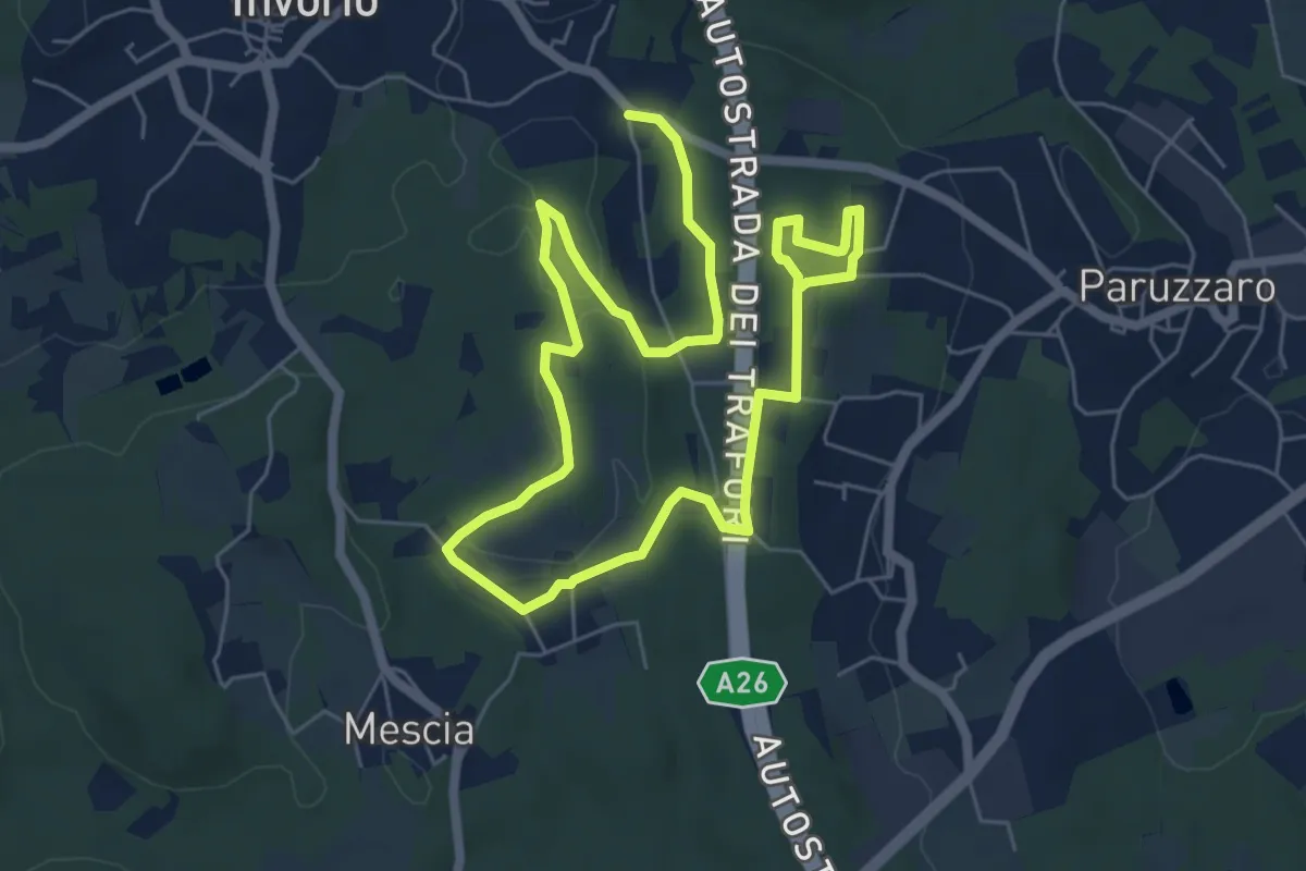
Easy · Trail
Percorso della Memoria
5.2 km · ↑ 55 m · 1 h 26 min · 11 km away
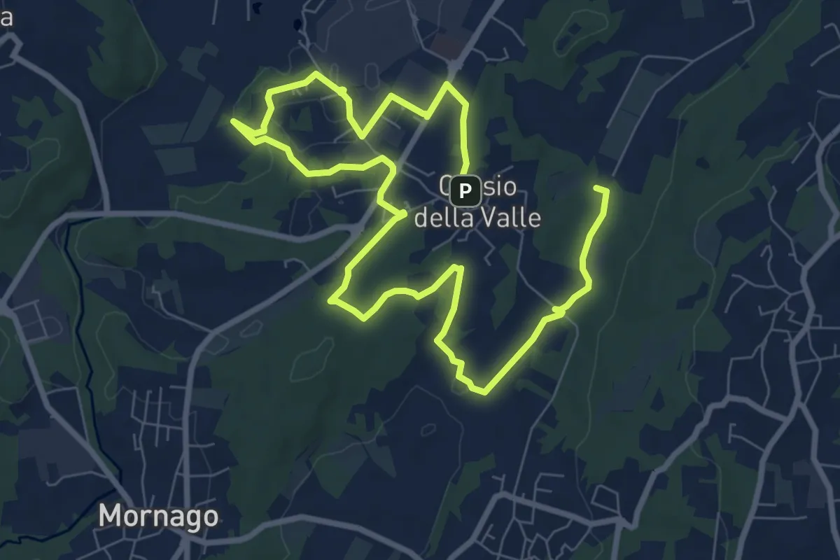
Medium · Trail
Piane Viscontee - Anello di Crosio della Valle
12.8 km · ↑ 141 m · 3 h 19 min · 11 km away
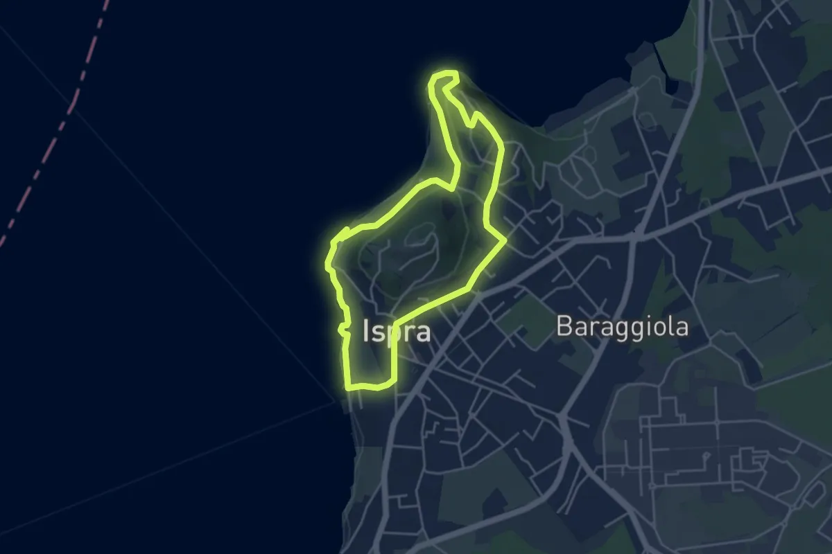
Easy · Summit
Anello delle fornaci
4.1 km · ↑ 137 m · 1 h 19 min · 11 km away
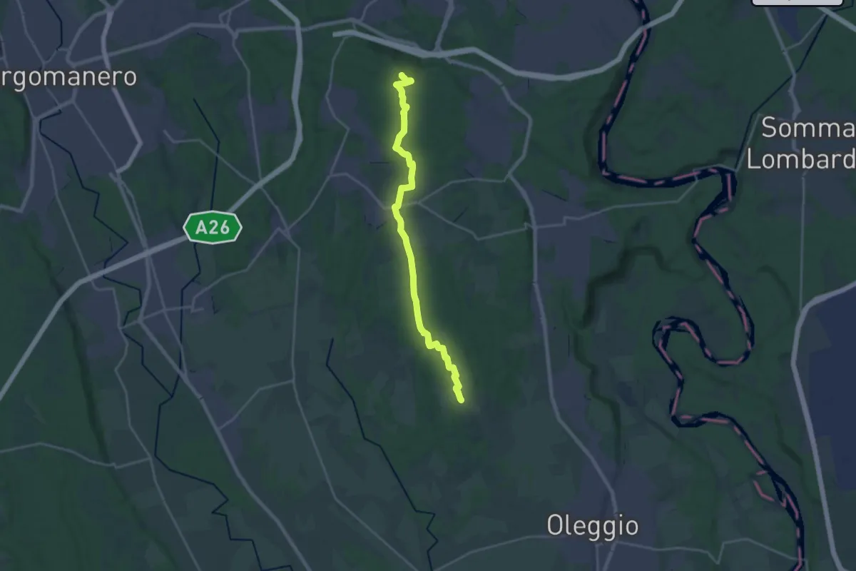
Demanding · Summit
Sentiero Novara tappa 12
20.6 km · ↑ 224 m · 5 h 21 min · 11 km away
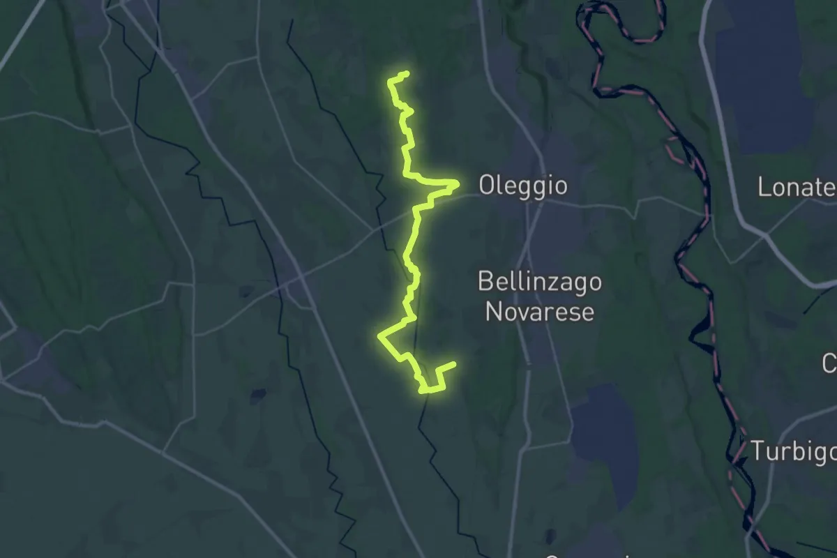
Demanding · Trail
Sentiero Novara tappa 11
31.7 km · ↑ 166 m · 7 h 51 min · 11 km away
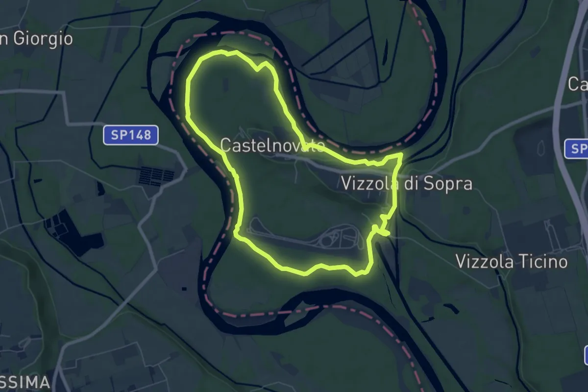
Easy · Trail
Ansa di Castelnovate
6.8 km · ↑ 92 m · 1 h 54 min · 11 km away
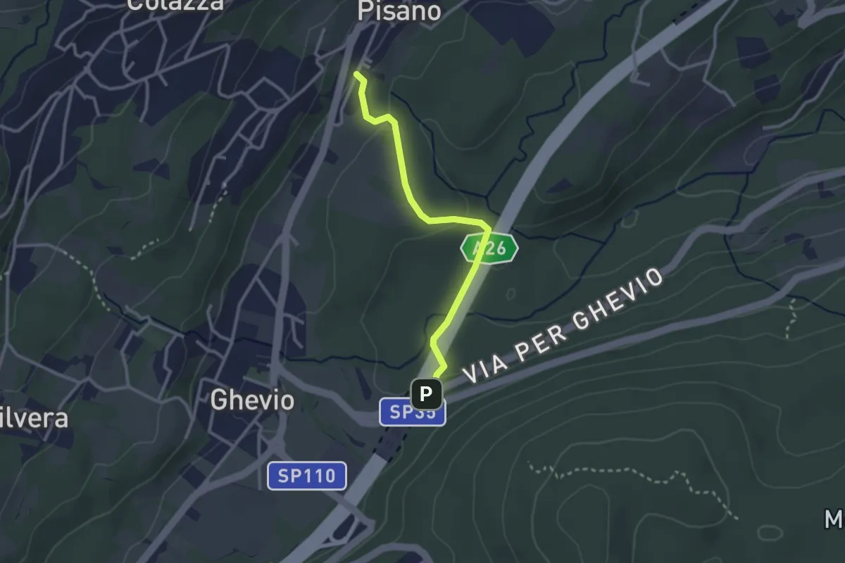
Easy · Trail
Meina – Pisano
2.6 km · ↑ 93 m · 49 min · 12 km away
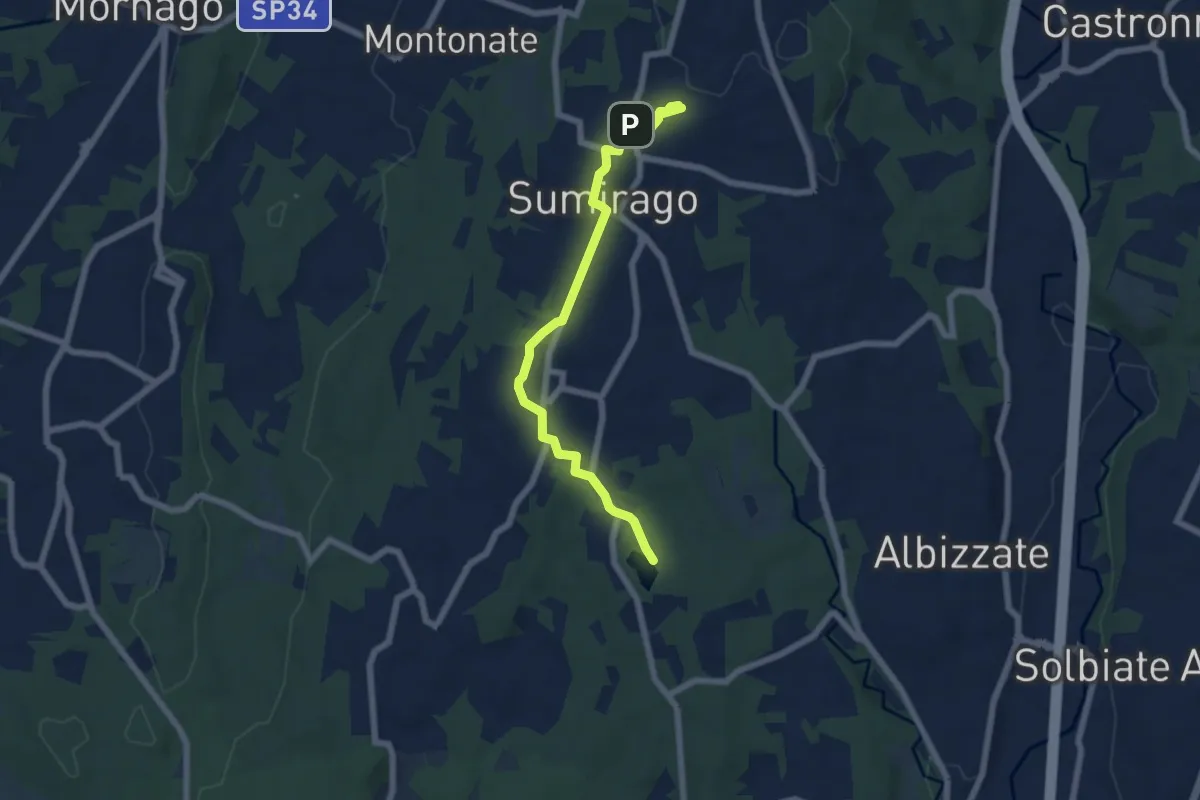
Easy · Trail
Piane Viscontee - Anello di Sumirago
6.9 km · ↑ 94 m · 1 h 50 min · 12 km away
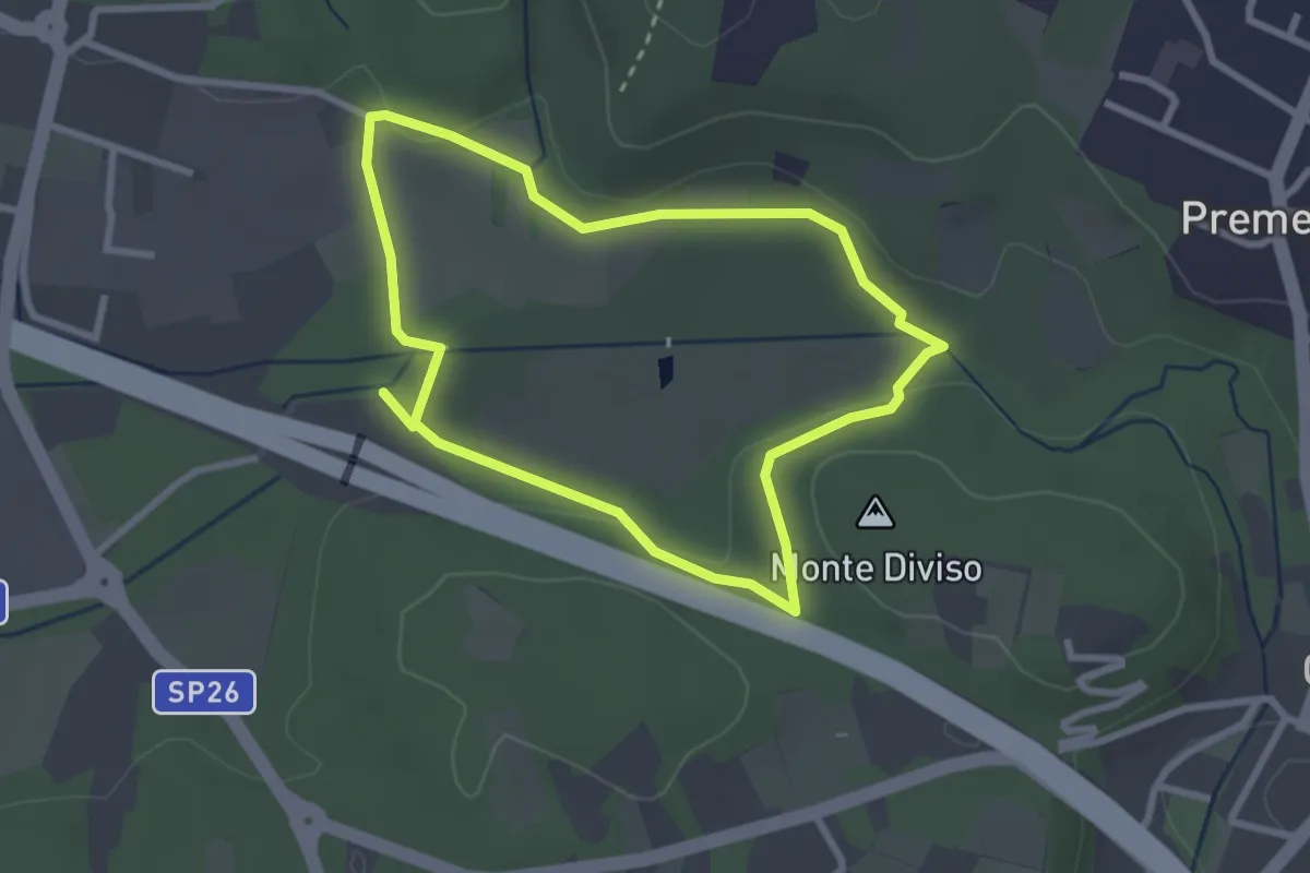
Easy · Summit
Anello dei Fontanili
2.6 km · ↑ 22 m · 42 min · 12 km away
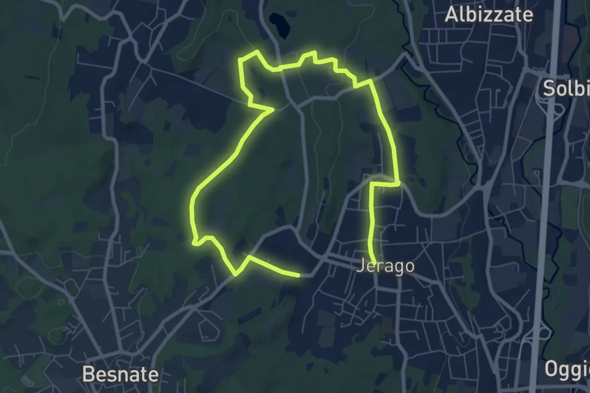
Medium · Trail
Piane Viscontee - Anello di Jerago
11.3 km · ↑ 87 m · 2 h 51 min · 12 km away
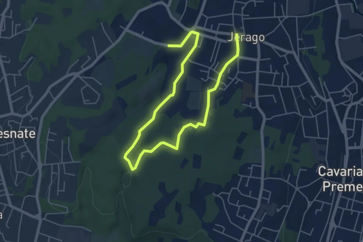
Easy · Trail
Piane Viscontee - Anello di Jerago
6.8 km · ↑ 65 m · 1 h 45 min · 12 km away
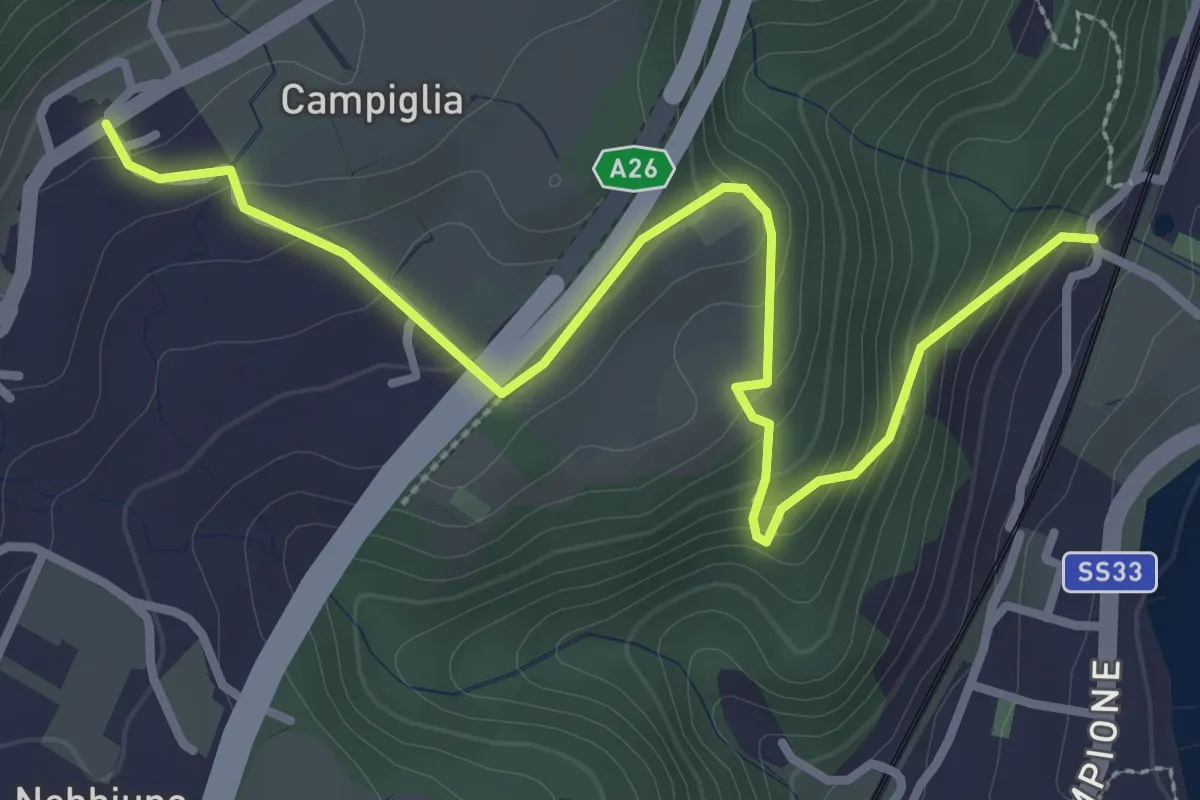
Easy · Trail
Sentiero Lesa - Nebbiuno
3.6 km · ↑ 242 m · 1 h 22 min · 12 km away
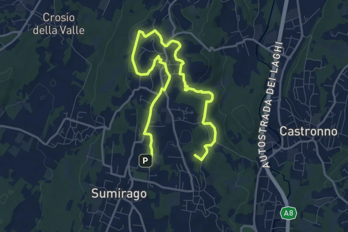
Medium · Summit
Piane Viscontee - Anello di Sumirago
12.3 km · ↑ 254 m · 3 h 28 min · 12 km away
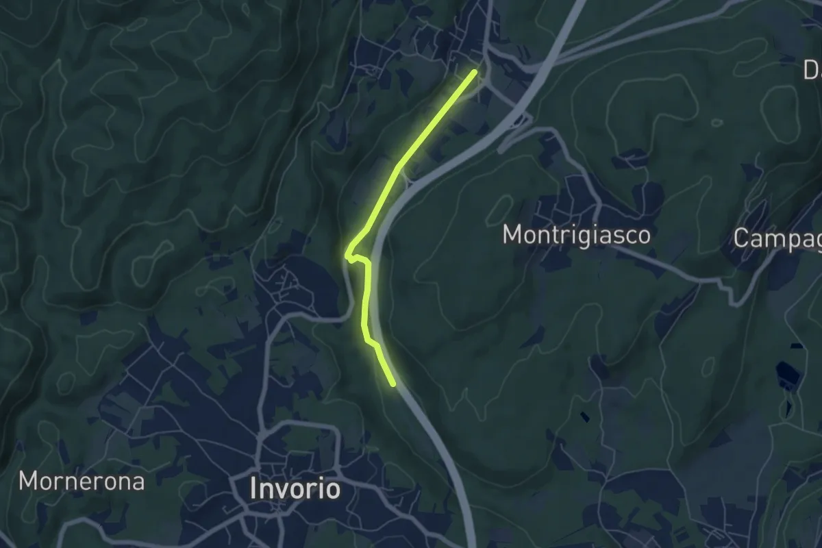
Easy · Trail
Bivio R08-S08, Meina – Bivio R05-R08, Ghevio
4.9 km · ↑ 82 m · 1 h 20 min · 12 km away
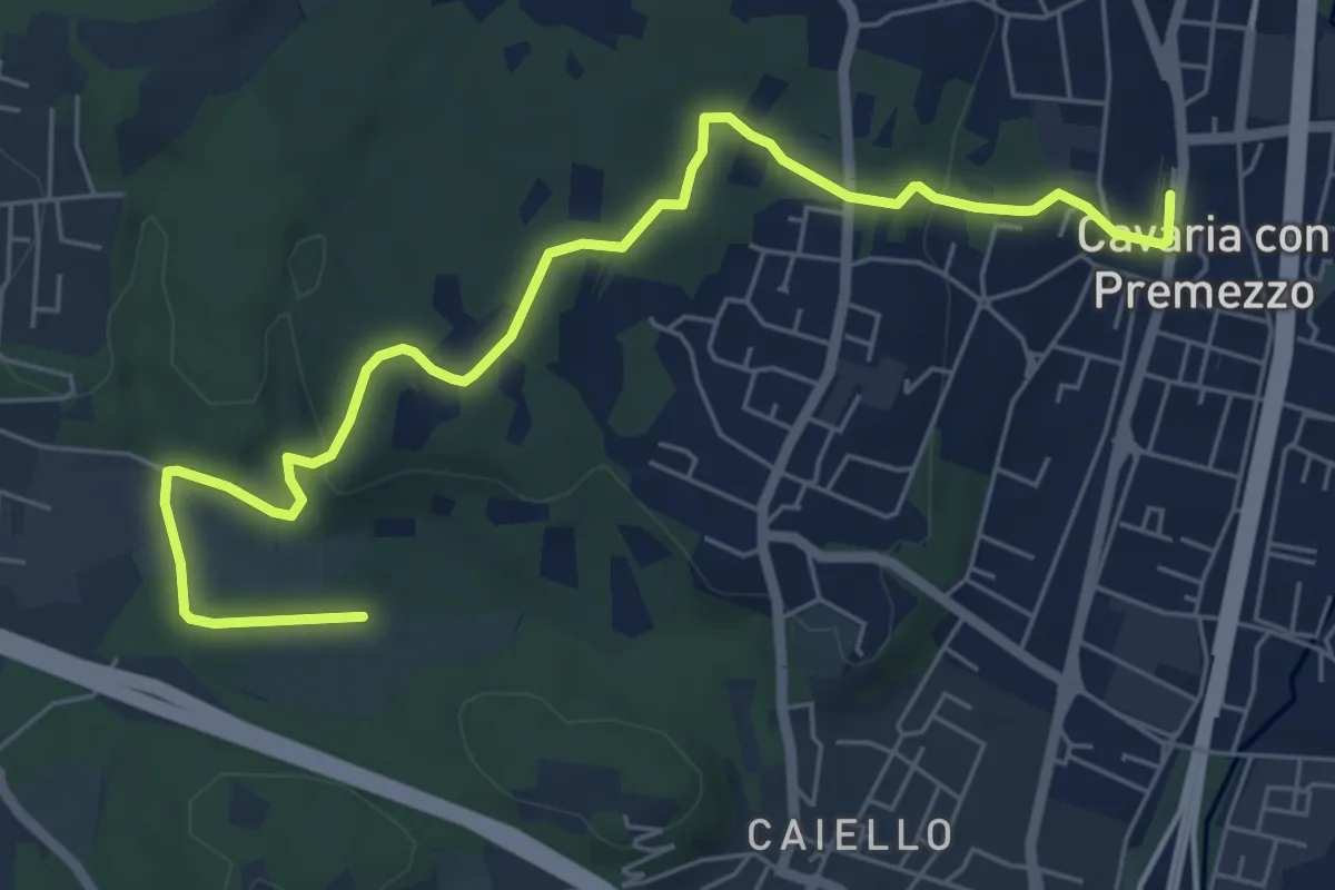
Medium · Trail
DID Anello di Cavaria
7.3 km · ↑ 114 m · 1 h 58 min · 12 km away
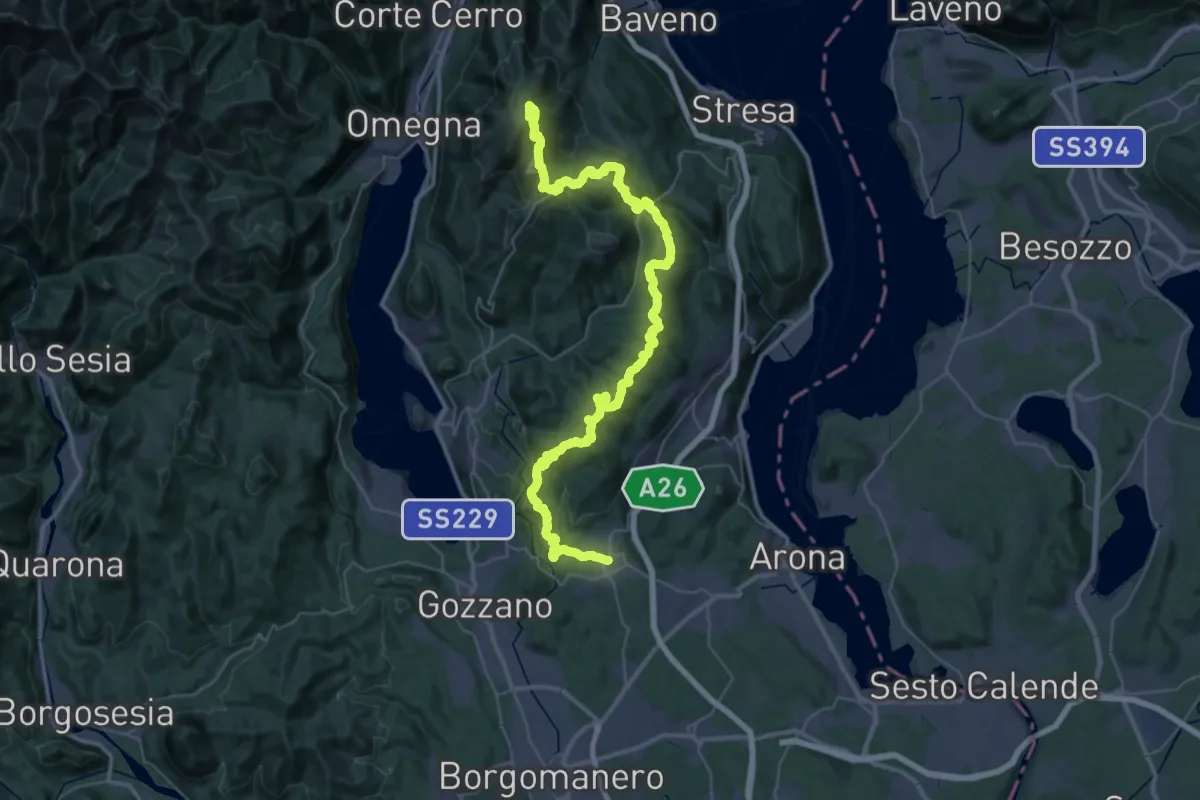
Demanding · Summit
V00 - Dorsale Vergante
57.1 km · ↑ 2393 m · 18 h 39 min · 12 km away
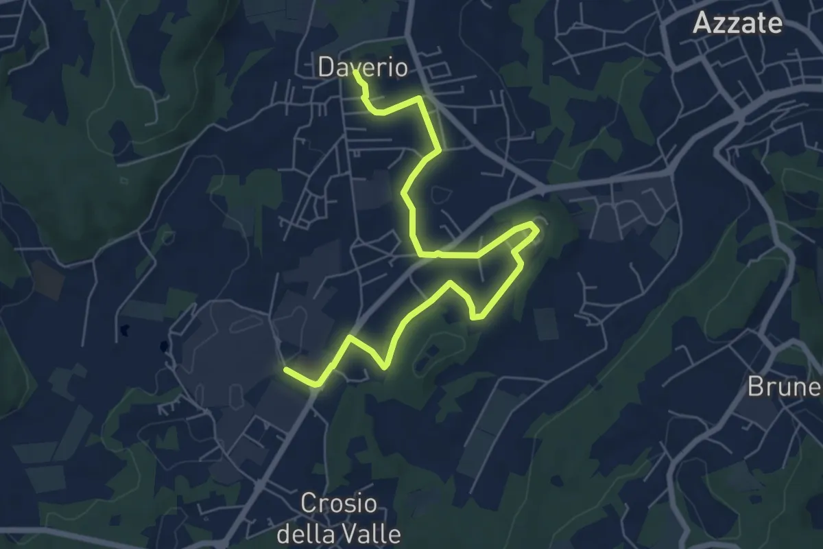
Easy · Trail
Piane Viscontee - Anello di Daverio
7.4 km · ↑ 105 m · 1 h 58 min · 12 km away
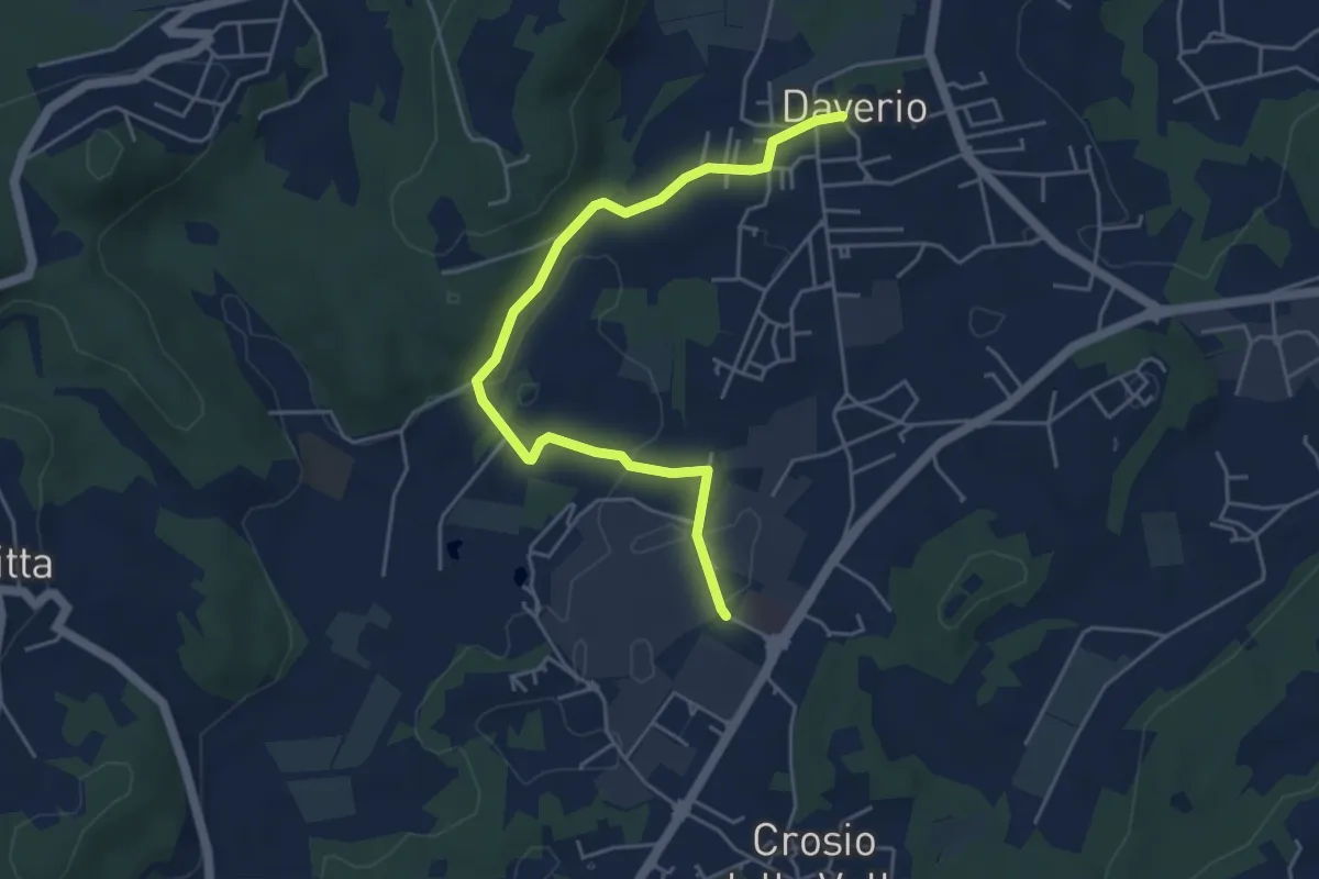
Easy · Trail
Piane Viscontee - Anello di Daverio
5.1 km · ↑ 66 m · 1 h 21 min · 12 km away
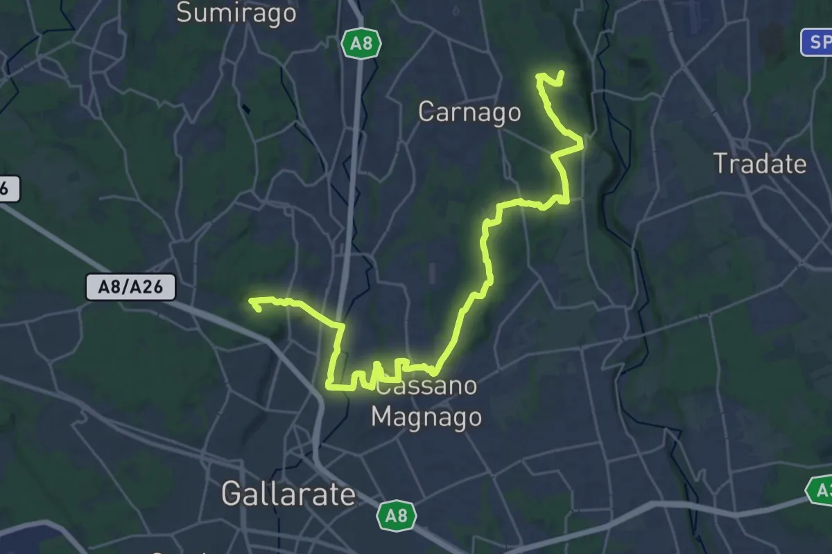
Medium · Trail
Collegamento Ticino-Seprio
16.0 km · ↑ 202 m · 4 h 23 min · 12 km away
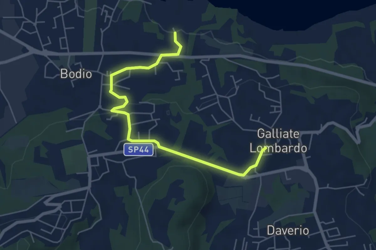
Easy · Trail
Piane Viscontee - Anello di Galliate Lombardo
5.5 km · ↑ 118 m · 1 h 33 min · 12 km away
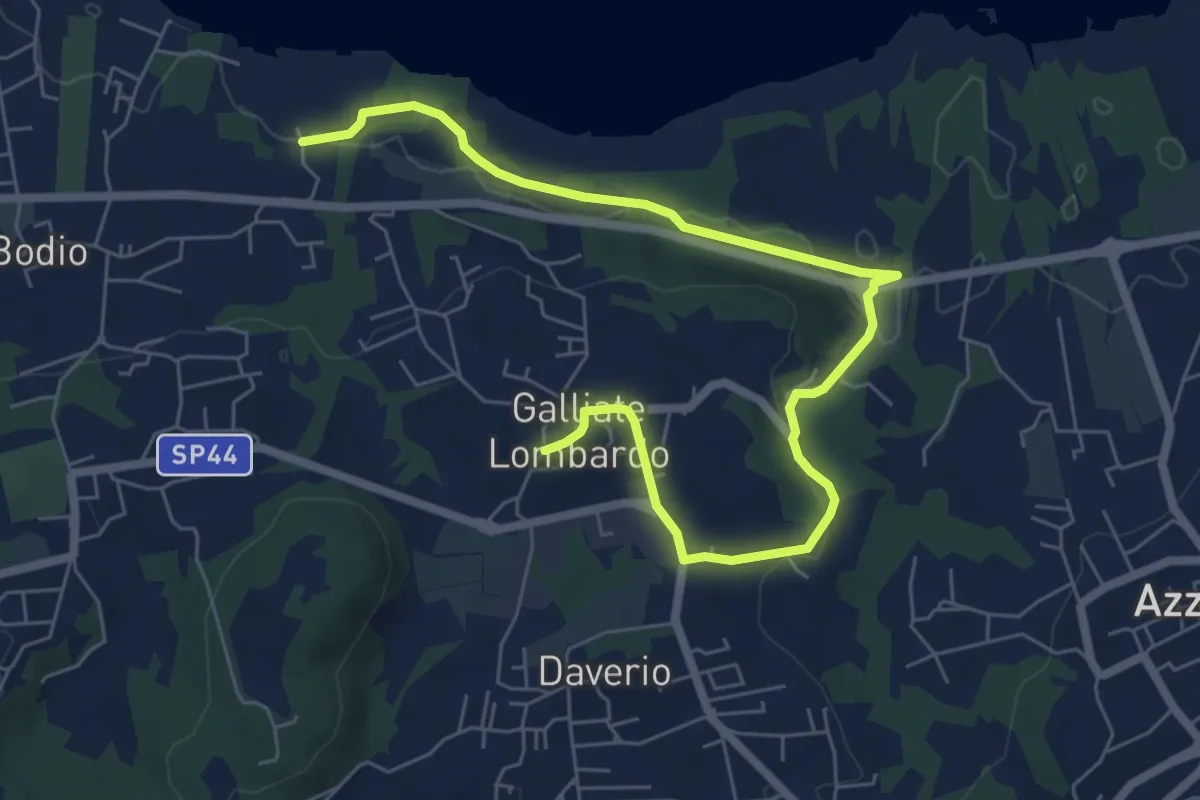
Medium · Trail
Piane Viscontee - Anello di Galliate Lombardo
8.0 km · ↑ 138 m · 2 h 12 min · 12 km away
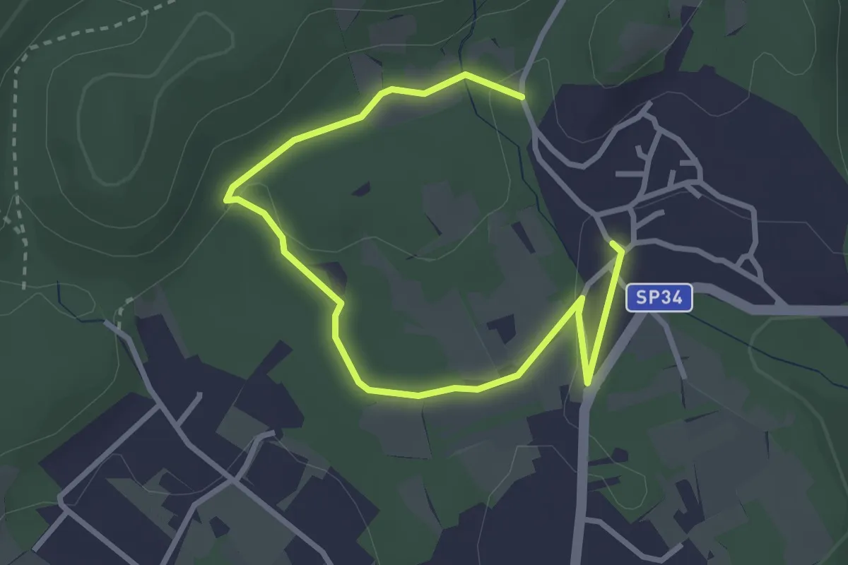
Easy · Trail
Un sentiero da favola - La via degli elfi
3.8 km · ↑ 51 m · 1 h · 12 km away
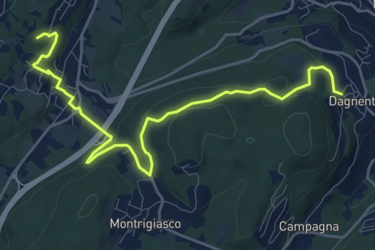
Medium · Trail
VA6 - Dagnente - Colazza
10.7 km · ↑ 321 m · 3 h 13 min · 13 km away
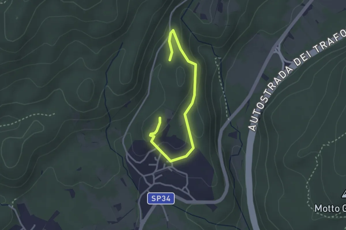
Easy · Trail
Un sentiero da favola - La via dei folletti
3.1 km · ↑ 87 m · 55 min · 13 km away
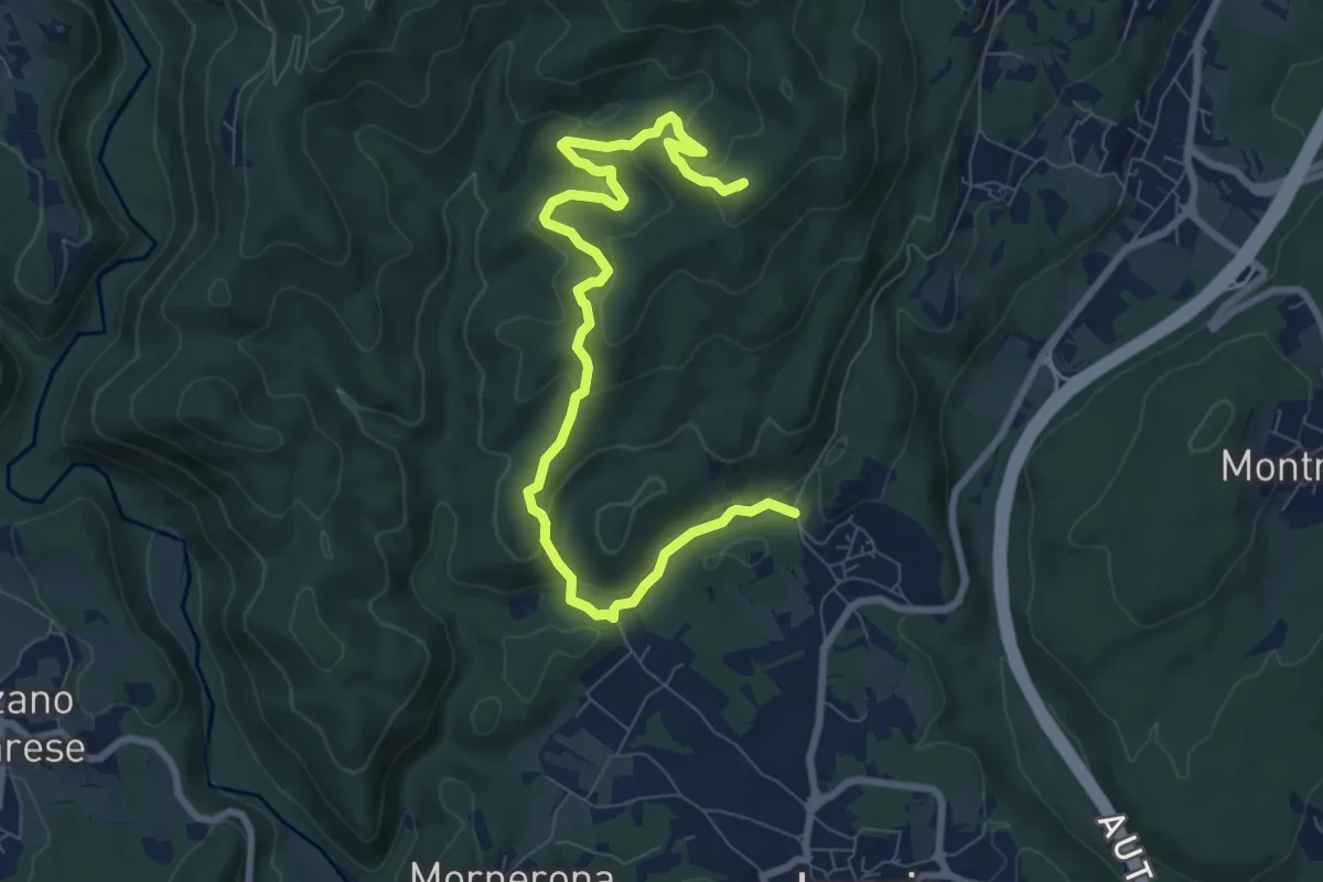
Demanding · Summit
VE1 - Invorio - Bocchetta Borsaga
9.8 km · ↑ 499 m · 3 h 23 min · 13 km away
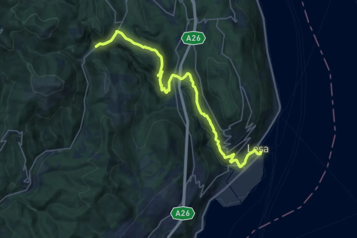
Demanding · Trail
VL7 - Lesa - Gignese
20.7 km · ↑ 724 m · 6 h 27 min · 13 km away
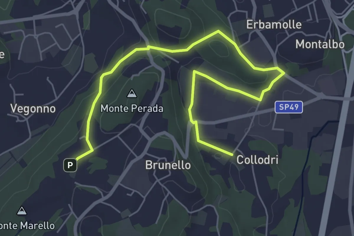
Easy · Trail
Piane Viscontee - Anello di Brunello
6.9 km · ↑ 139 m · 1 h 56 min · 13 km away
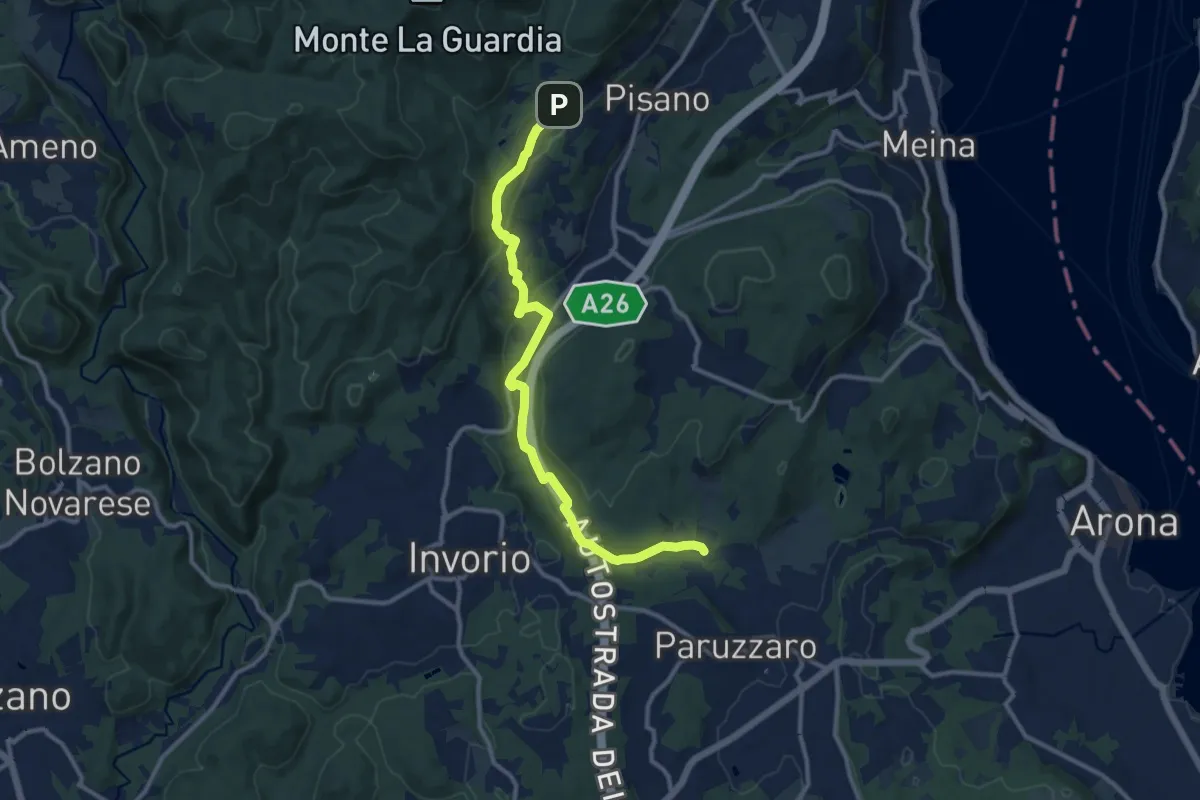
Medium · Trail
VA2 - Paruzzaro - Colazza
12.0 km · ↑ 334 m · 3 h 34 min · 13 km away
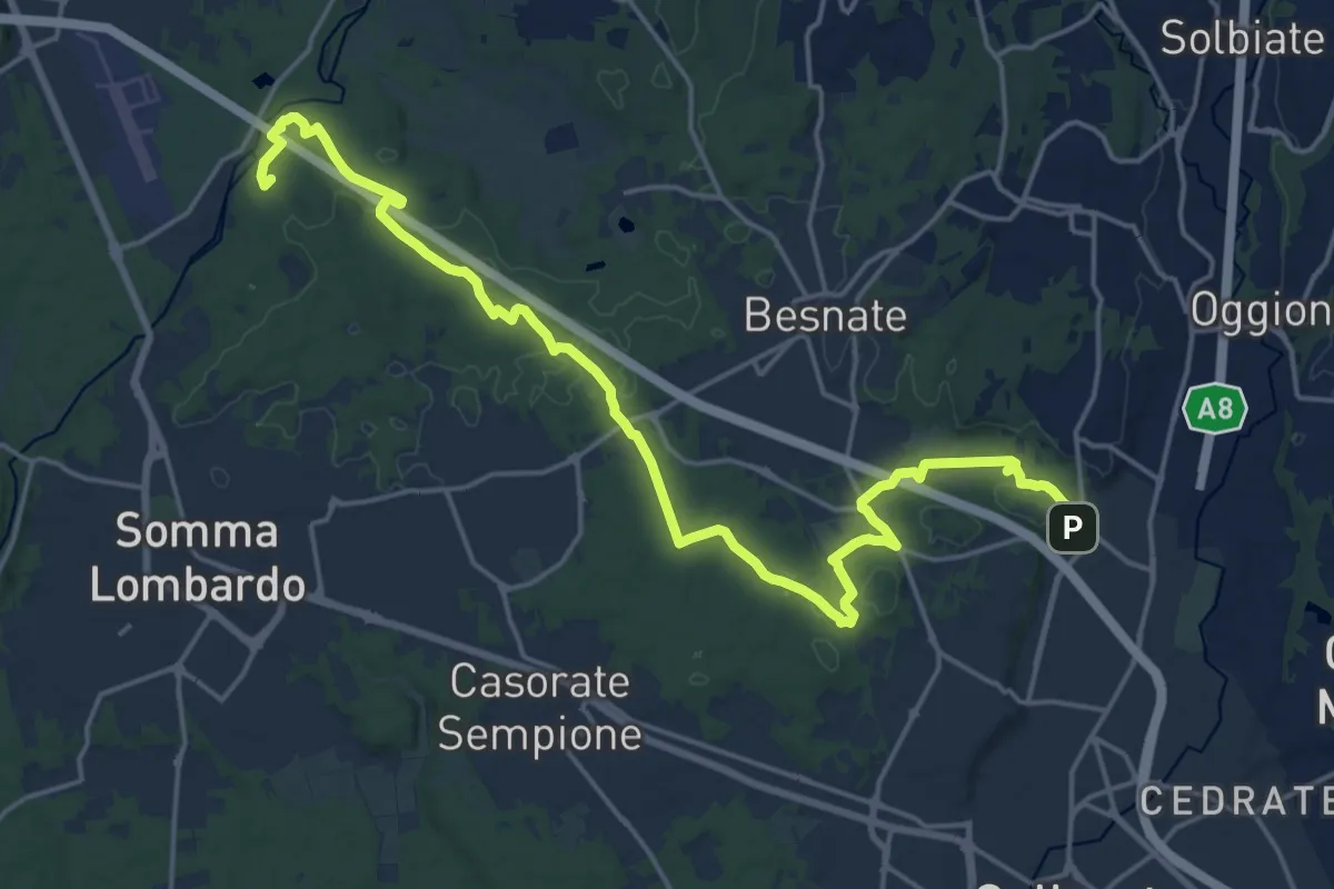
Demanding · Summit
Sentiero Strona
22.8 km · ↑ 292 m · 6 h · 13 km away
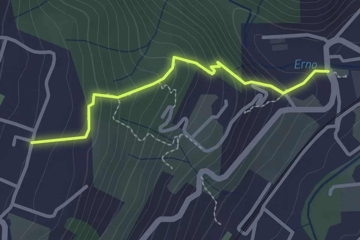
Easy · Trail
Sentiero Lesa Massino
2.1 km · ↑ 194 m · 55 min · 13 km away
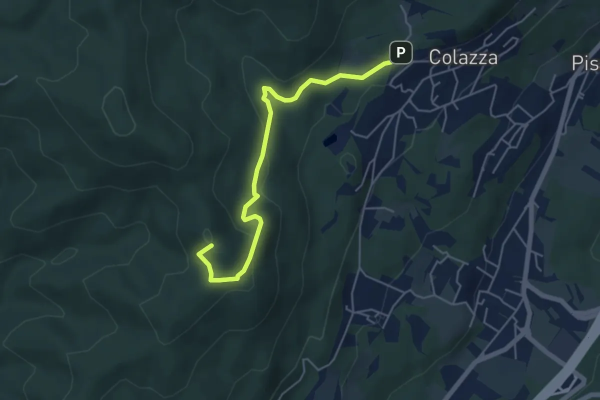
Easy · Summit
VE2 - Colazza - Cappella del Vago
4.5 km · ↑ 190 m · 1 h 28 min · 13 km away
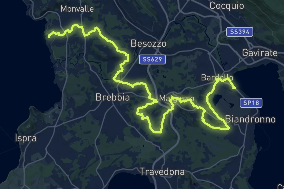
Medium · Trail
Sentiero dei Mulini
17.8 km · ↑ 250 m · 5 h 1 min · 13 km away
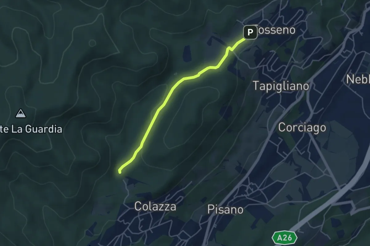
Easy · Trail
VF1 - Colazza - Fosseno
3.9 km · ↑ 54 m · 1 h 3 min · 13 km away
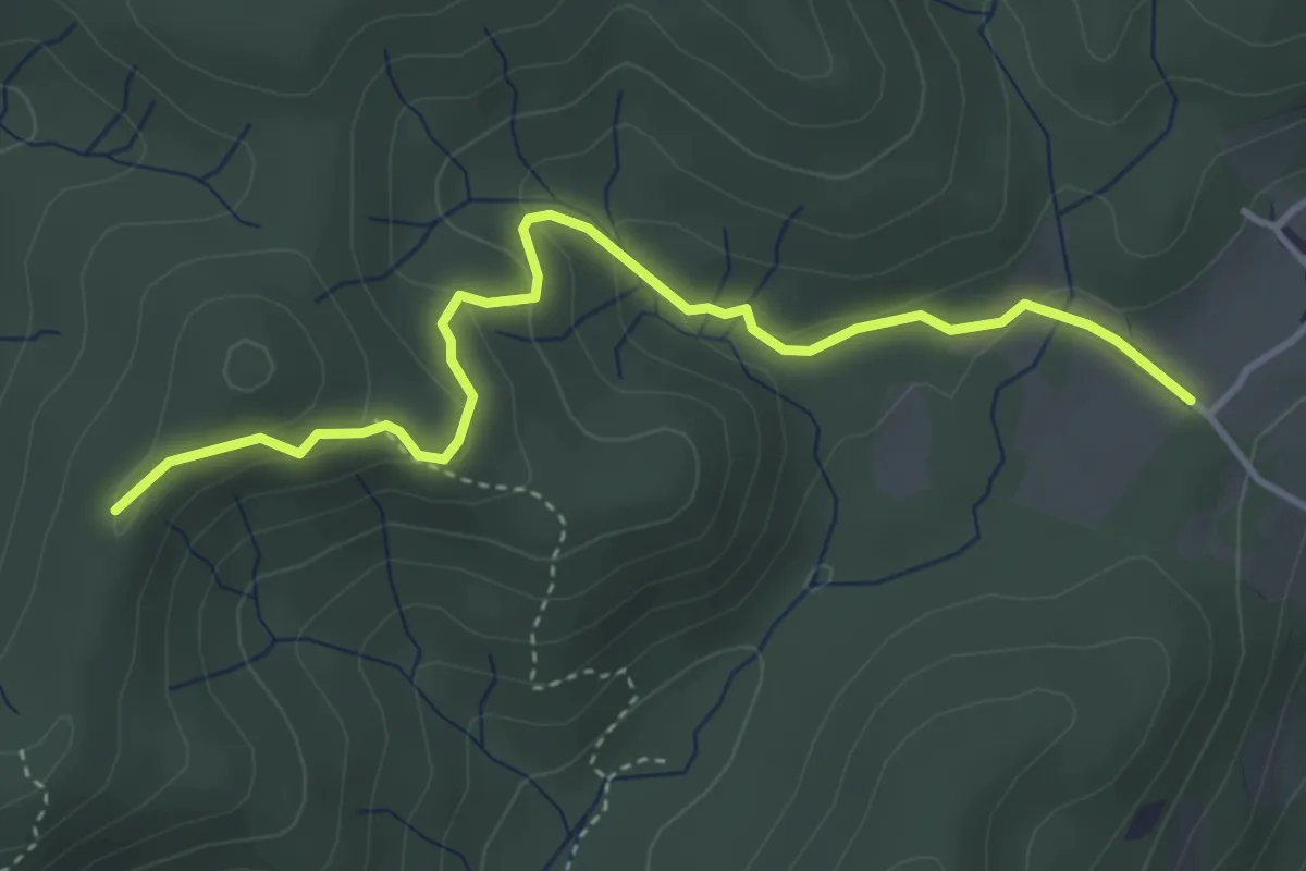
Easy · Trail
VF3 - Fosseno - Alpe del Bosco
4.1 km · ↑ 214 m · 1 h 26 min · 13 km away
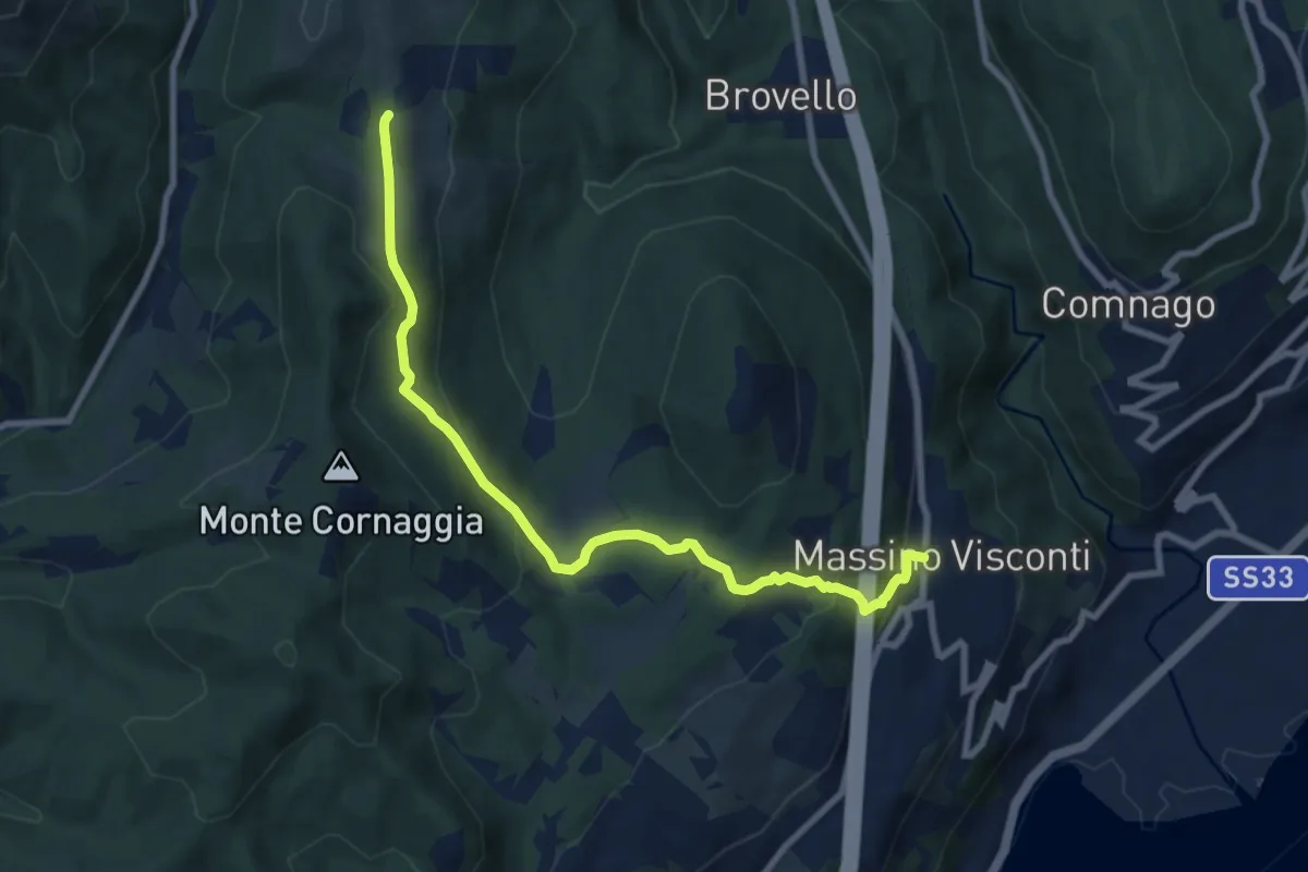
Medium · Trail
VH2 - Massino Visconti - Alpe Canà
8.8 km · ↑ 369 m · 2 h 53 min · 13 km away
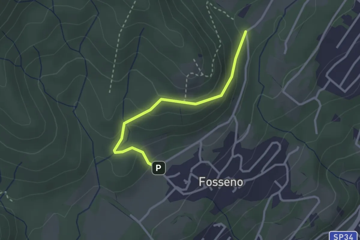
Easy · Trail
VF6 - Fosseno - Lavarina
2.5 km · ↑ 139 m · 54 min · 13 km away
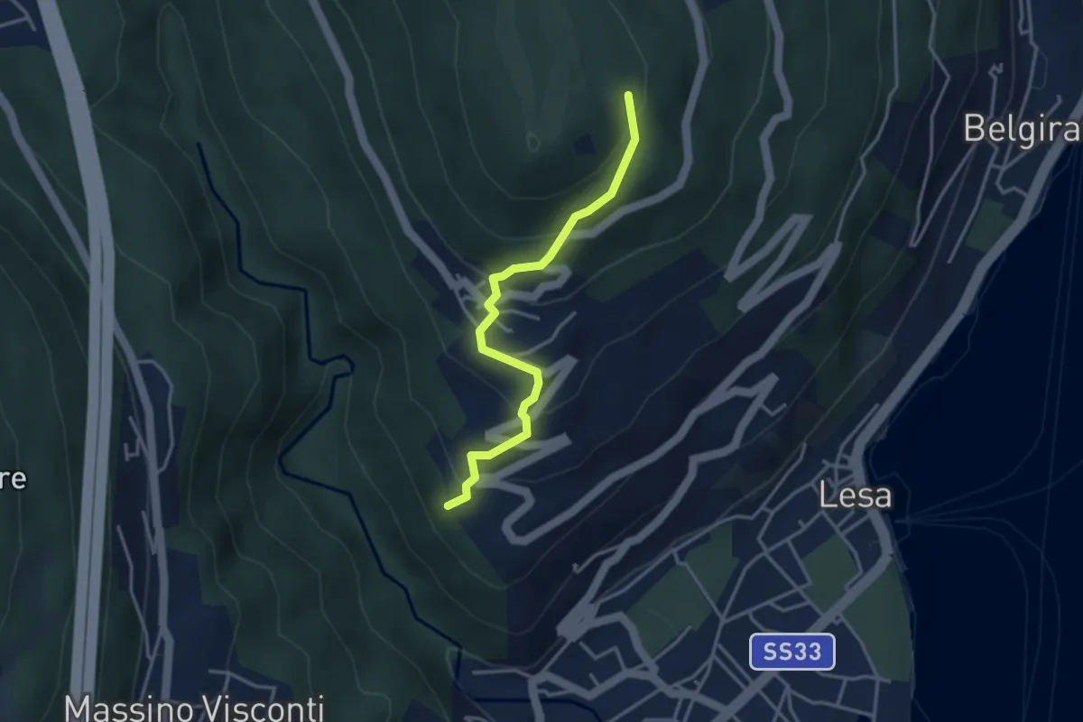
Easy · Trail
VL4 - Comnago - Calogna
3.4 km · ↑ 238 m · 1 h 19 min · 13 km away
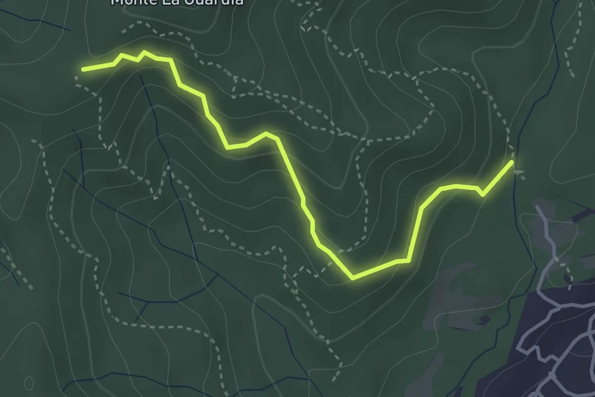
Easy · Trail
VE4 - Colazza - Alpe Gallone
3.6 km · ↑ 249 m · 1 h 23 min · 13 km away
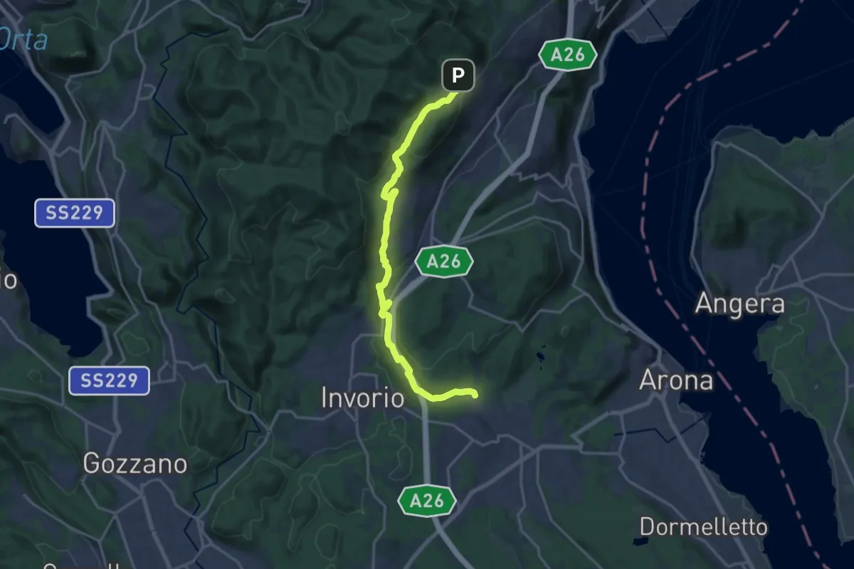
Medium · Trail
Sentiero Novara tappa 14
17.5 km · ↑ 430 m · 5 h 4 min · 13 km away
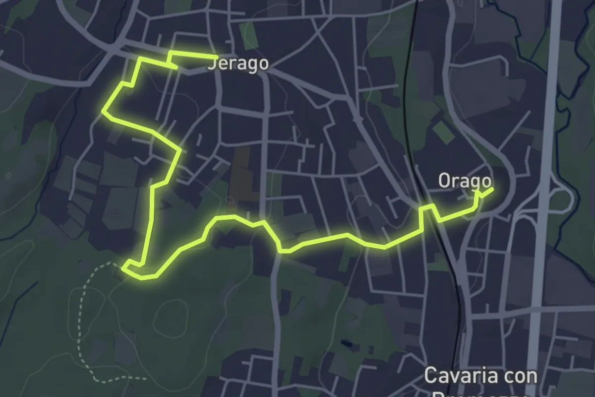
Easy · Trail
DID - Anello di Jerago
6.5 km · ↑ 54 m · 1 h 38 min · 13 km away
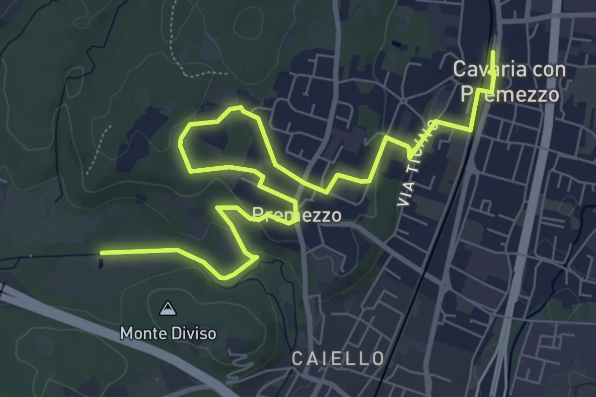
Medium · Trail
DID Anello di Cavaria
8.8 km · ↑ 98 m · 2 h 17 min · 13 km away
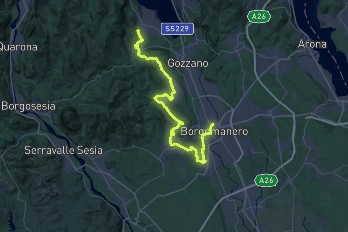
Demanding · Summit
Grand Tour del Lago d'Orta - Tappa 5
47.7 km · ↑ 887 m · 13 h 11 min · 14 km away
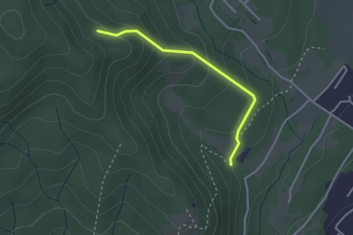
Easy · Trail
VF7 - Sasso del Pizzo - Alpe Cima
2.2 km · ↑ 158 m · 52 min · 14 km away
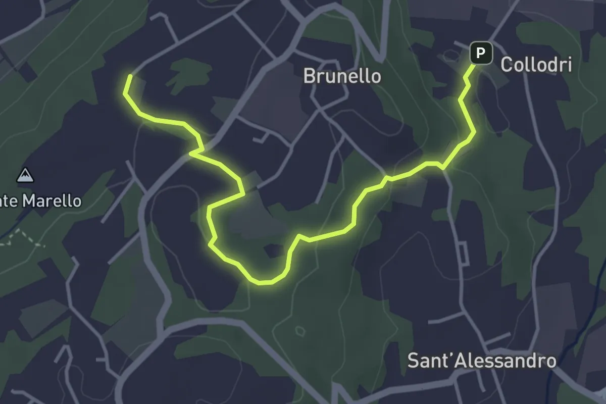
Easy · Trail
Piane Viscontee - Anello di Brunello
4.3 km · ↑ 111 m · 1 h 15 min · 14 km away
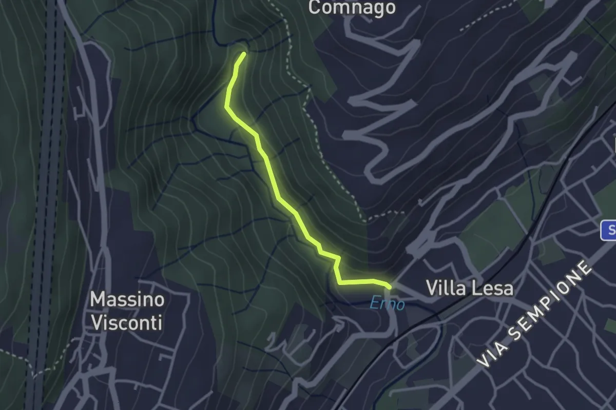
Easy · Trail
Sentiero Valle dell'Erno
2.4 km · ↑ 86 m · 45 min · 14 km away
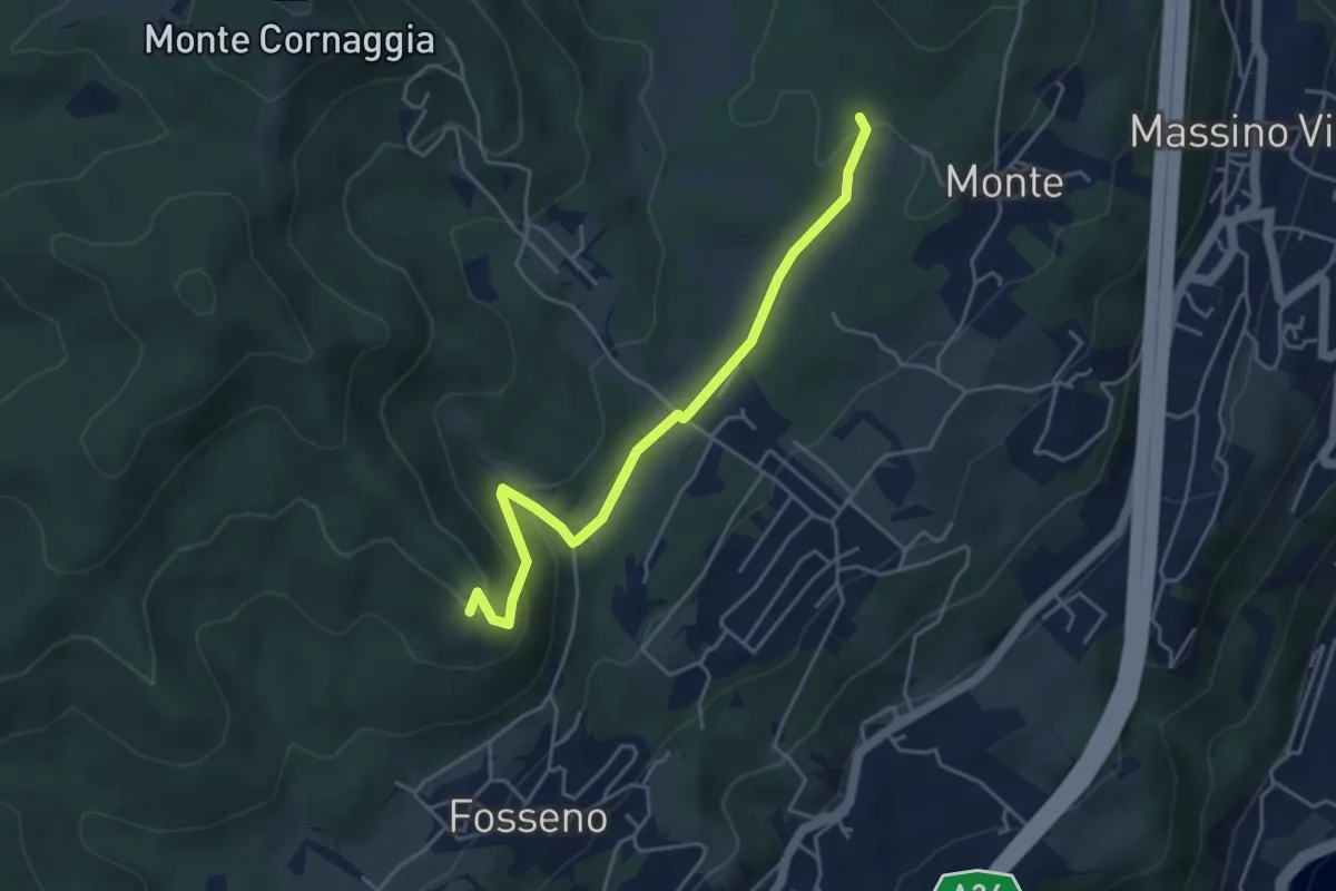
Easy · Summit
VF7a - Cascina Pianzaghi - Sasso del Pizzo
4.5 km · ↑ 154 m · 1 h 23 min · 14 km away