Trails near Sesto Calende
124 hikes starting within 15 km, nearest first.
Nearest first, page 3 of 3
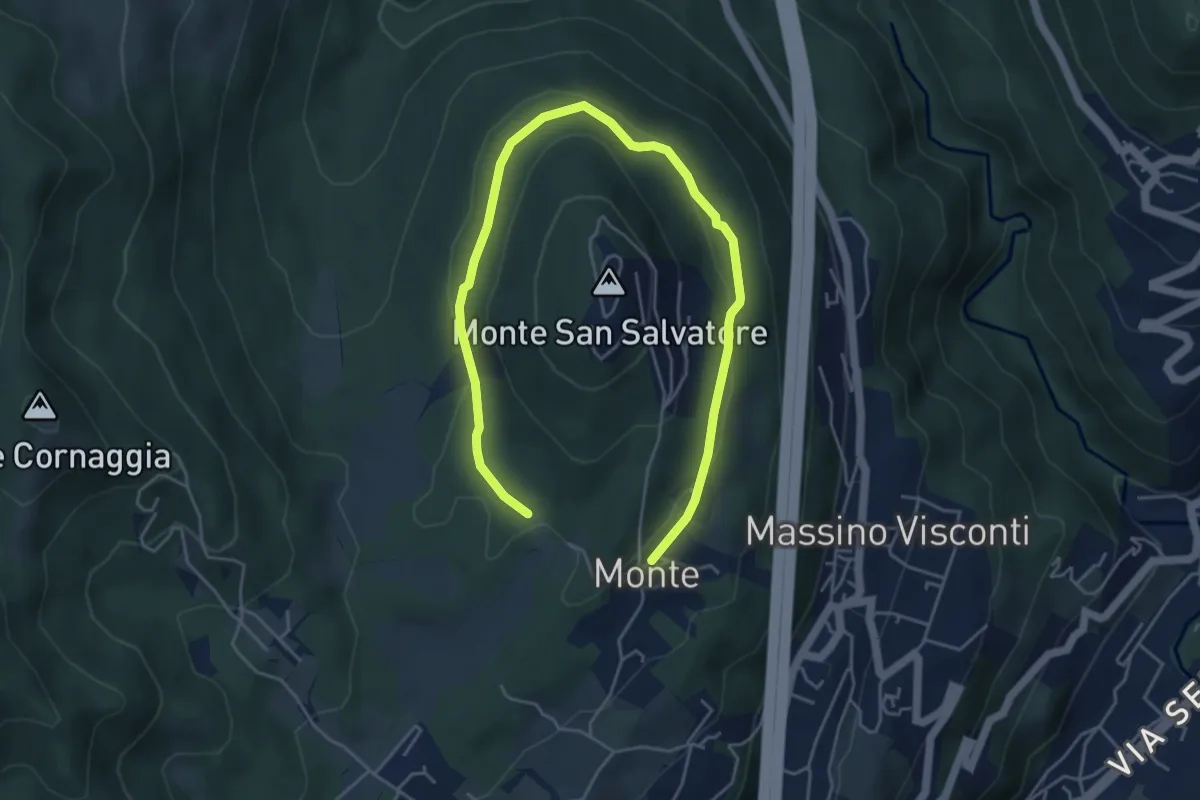
Easy · Trail
VH6 - Anello basso di San Salvatore
6.5 km · ↑ 140 m · 1 h 51 min · 14 km away
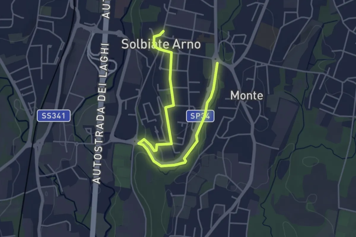
Easy · Trail
Percorsi del Cuore - Anello di Solbiate Arno
5.0 km · ↑ 72 m · 1 h 20 min · 14 km away
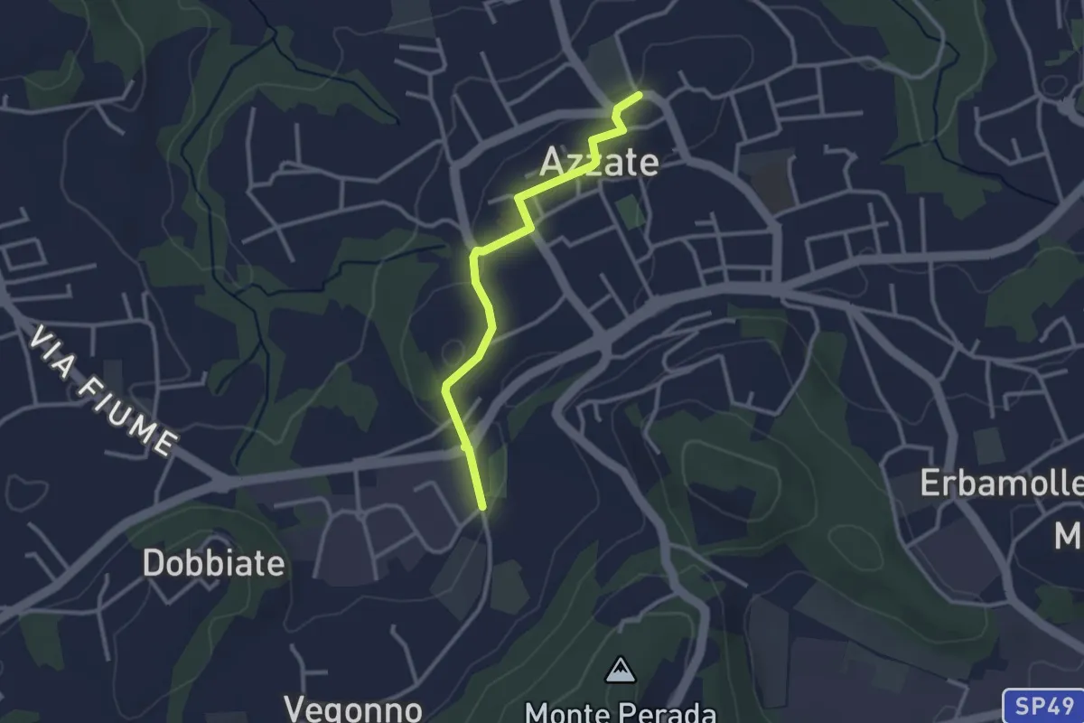
Easy · Trail
Piane Viscontee - Anello di Azzate
2.7 km · ↑ 48 m · 44 min · 14 km away
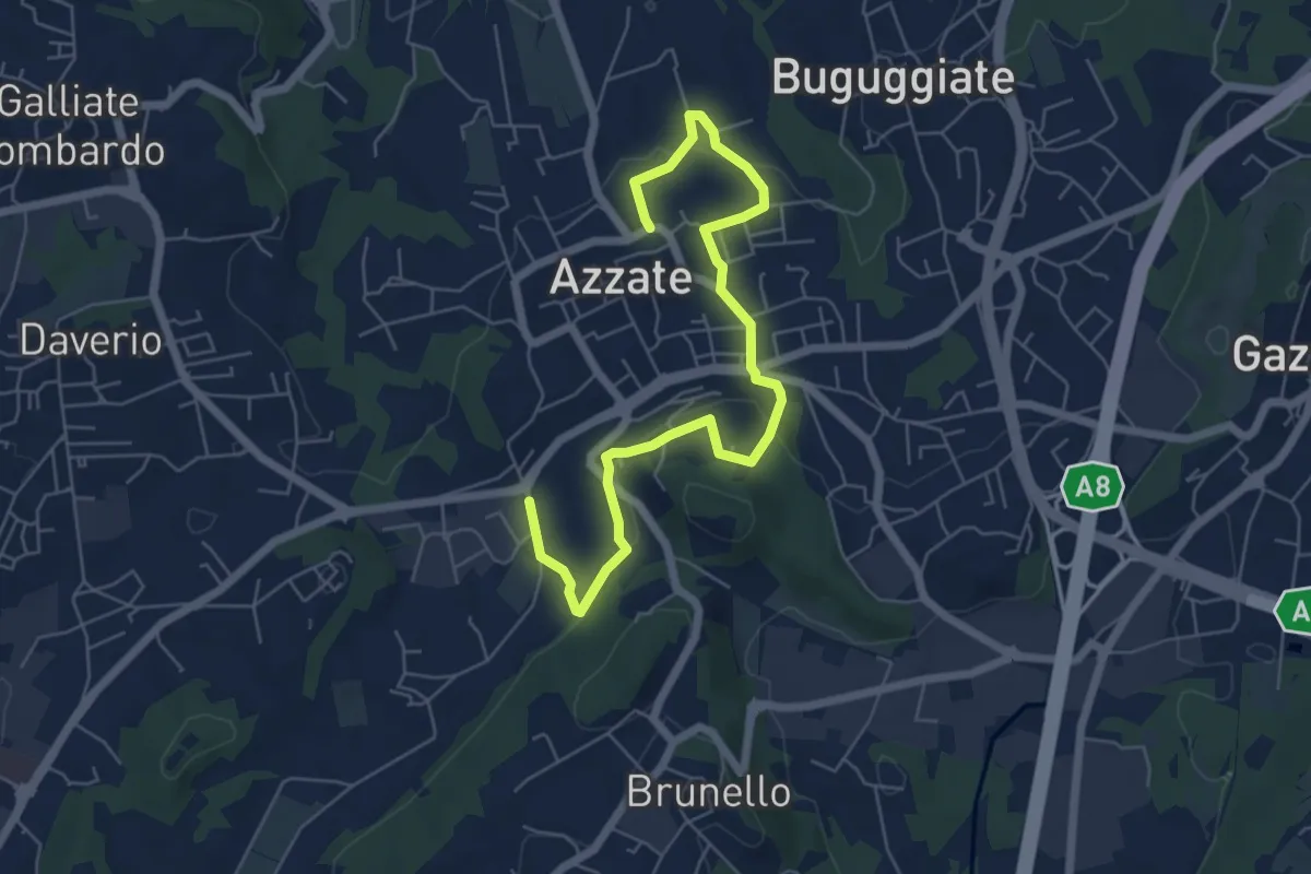
Easy · Trail
Piane Viscontee - Anello di Azzate
7.1 km · ↑ 239 m · 2 h 11 min · 14 km away
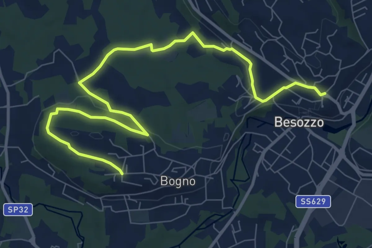
Medium · Trail
Anello di Besozzo - Bogno/Besozzo
9.7 km · ↑ 172 m · 2 h 39 min · 14 km away
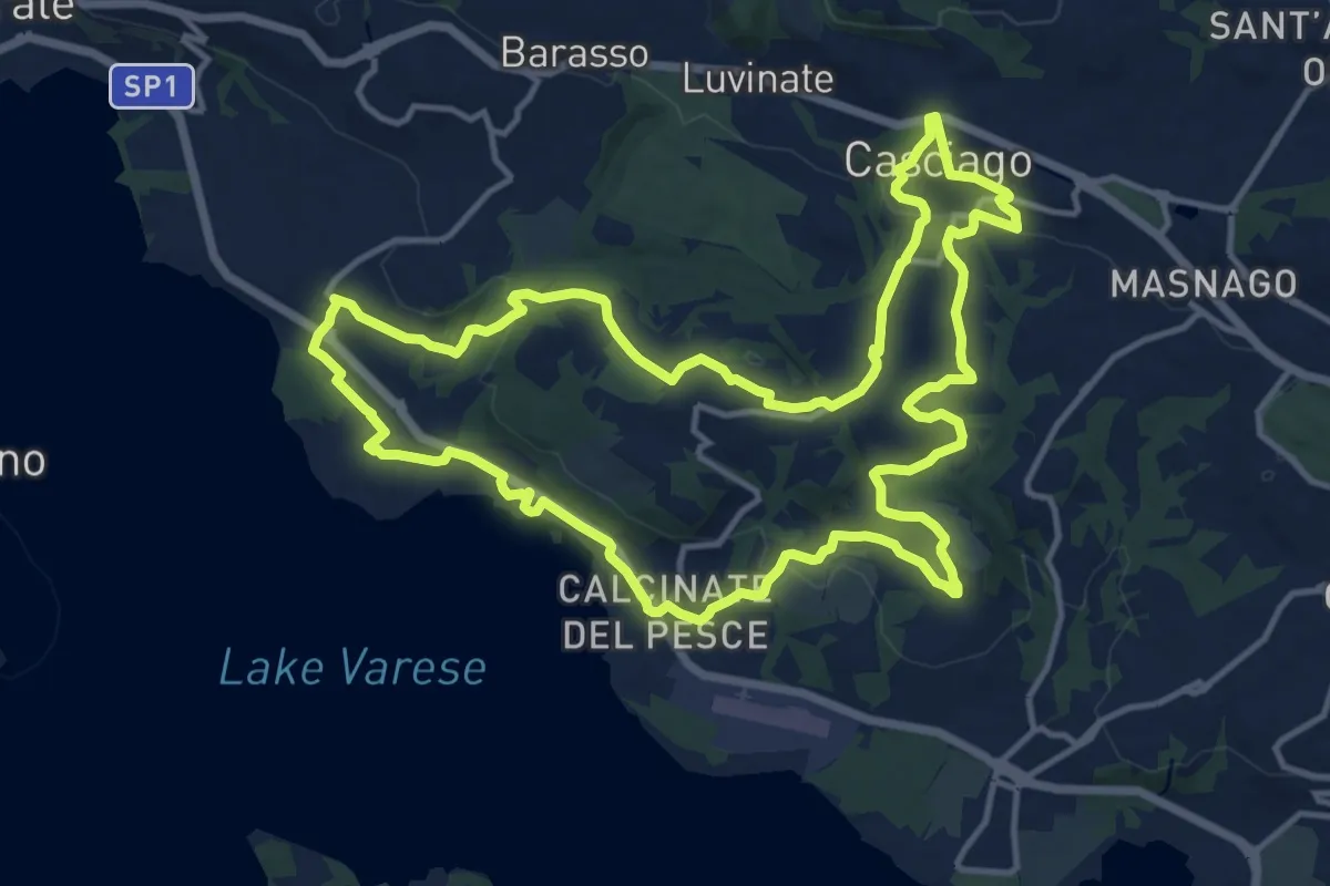
Medium · Trail
Tigros Gavirate – Tigros Gavirate
14.7 km · ↑ 280 m · 4 h 17 min · 14 km away
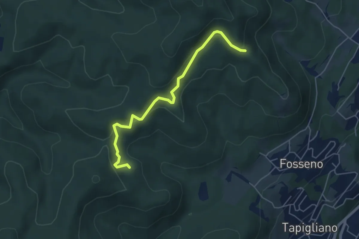
Easy · Trail
VF2 - Bivio VF3 - Bivio VF5
4.5 km · ↑ 230 m · 1 h 34 min · 14 km away
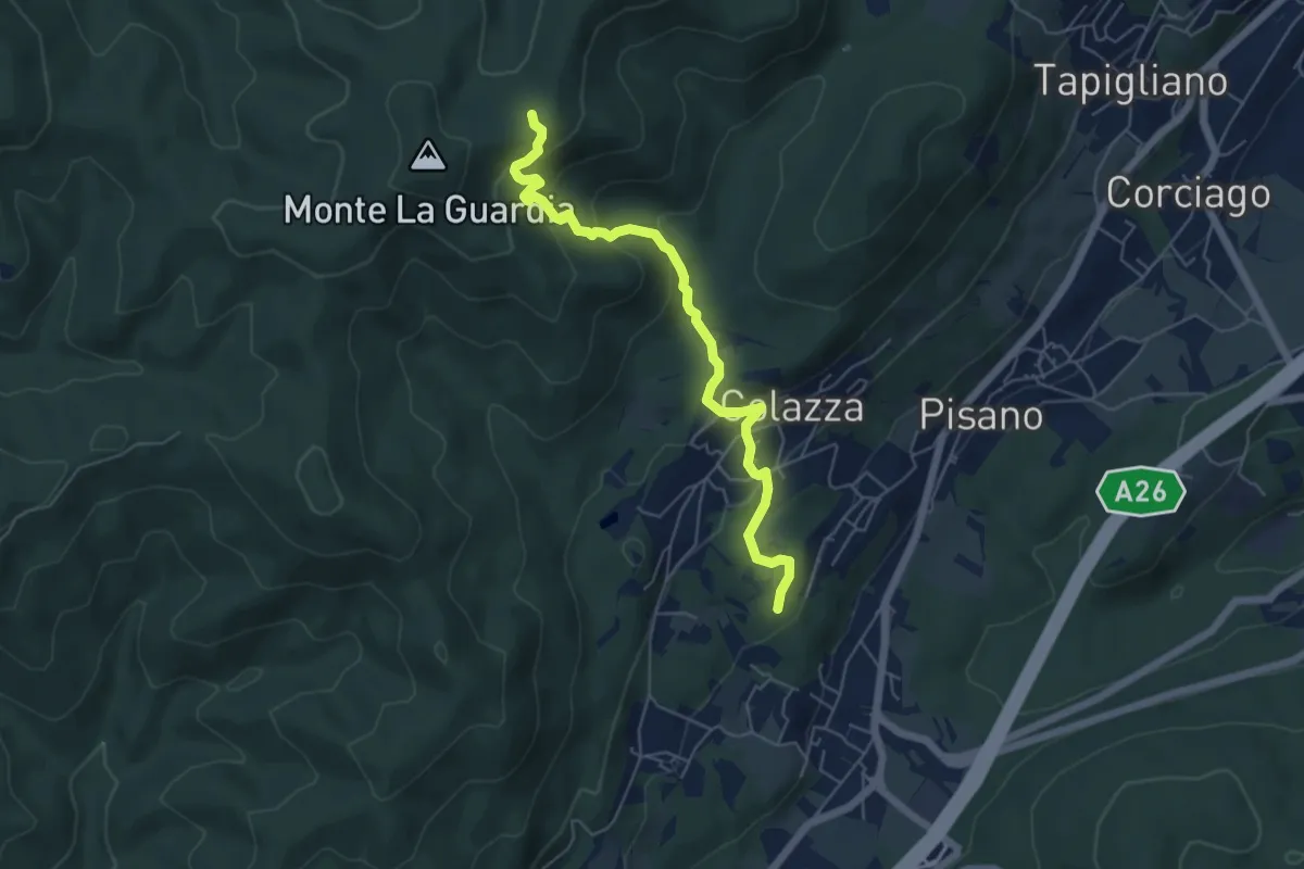
Medium · Trail
VE5 - Colazza - Alpe del Bosco
5.7 km · ↑ 319 m · 2 h 3 min · 14 km away
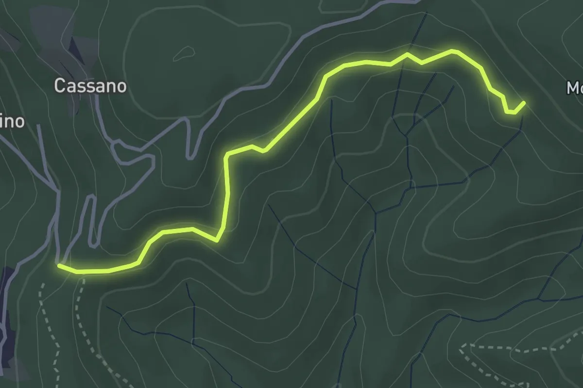
Easy · Trail
VE7 - Pecorino - Tre Fontane
3.6 km · ↑ 155 m · 1 h 11 min · 14 km away
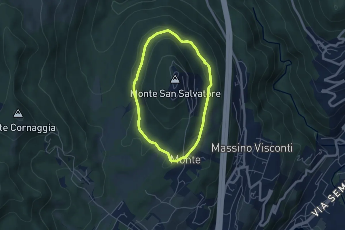
Easy · Trail
Anello basso di San Salvatore
3.7 km · ↑ 85 m · 1 h 7 min · 14 km away
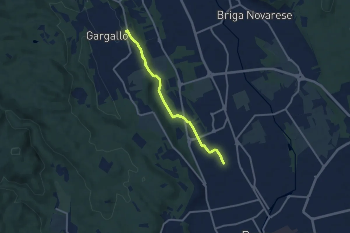
Easy · Trail
Borgomanero, località San Croce – Gargallo, Chiesa Parrocchiale di San Pietro, bivio NOS38-NOT38
6.1 km · ↑ 68 m · 1 h 35 min · 14 km away
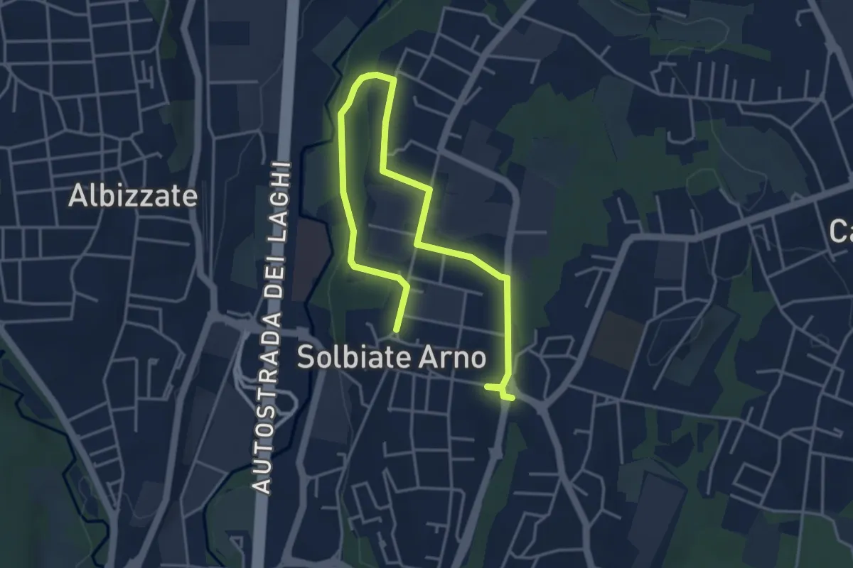
Easy · Trail
Percorsi del Cuore - Anello di Solbiate Arno
5.3 km · ↑ 64 m · 1 h 23 min · 14 km away
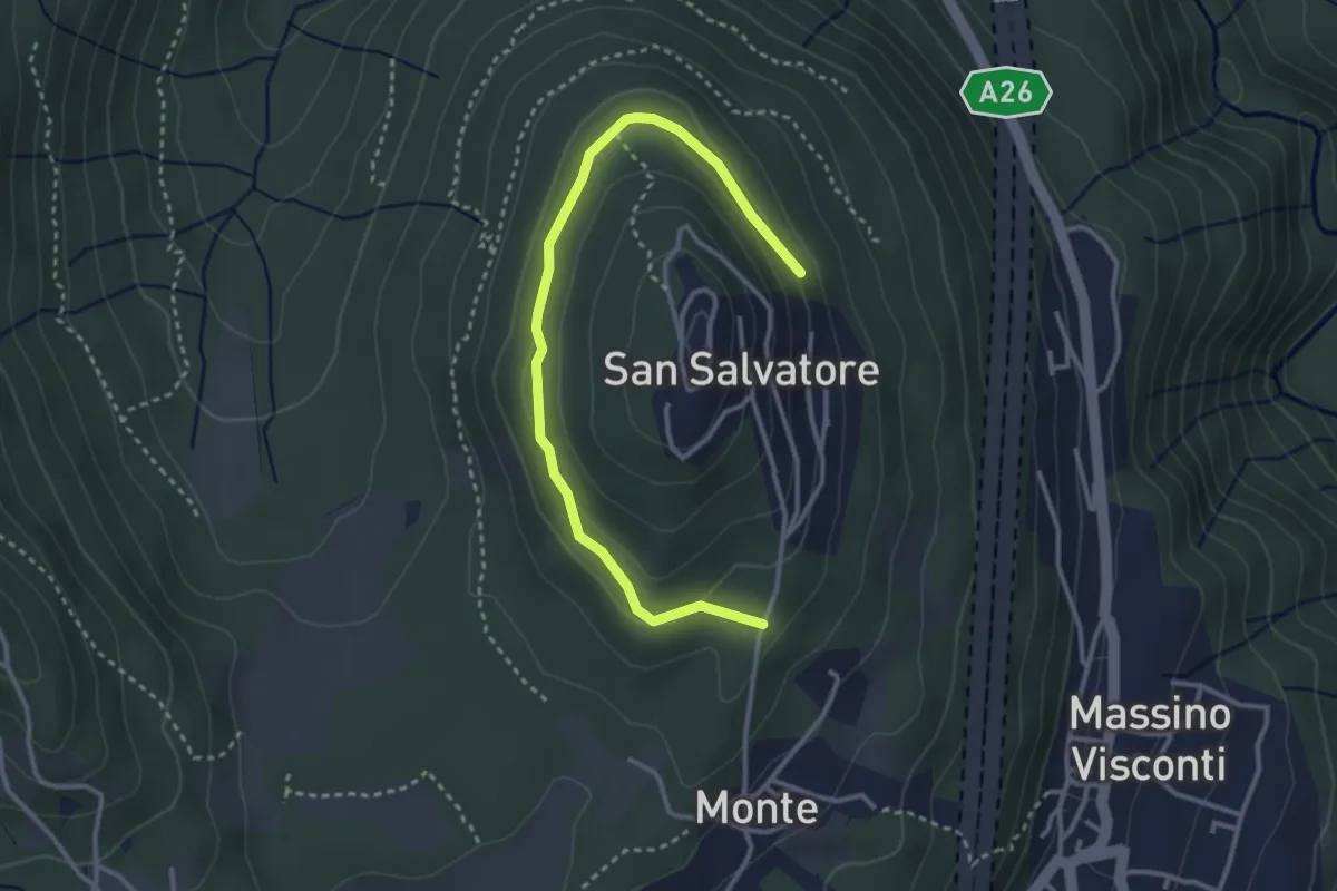
Easy · Trail
VH5 - Anello di mezzo di San Salvatore
3.6 km · ↑ 66 m · 59 min · 14 km away
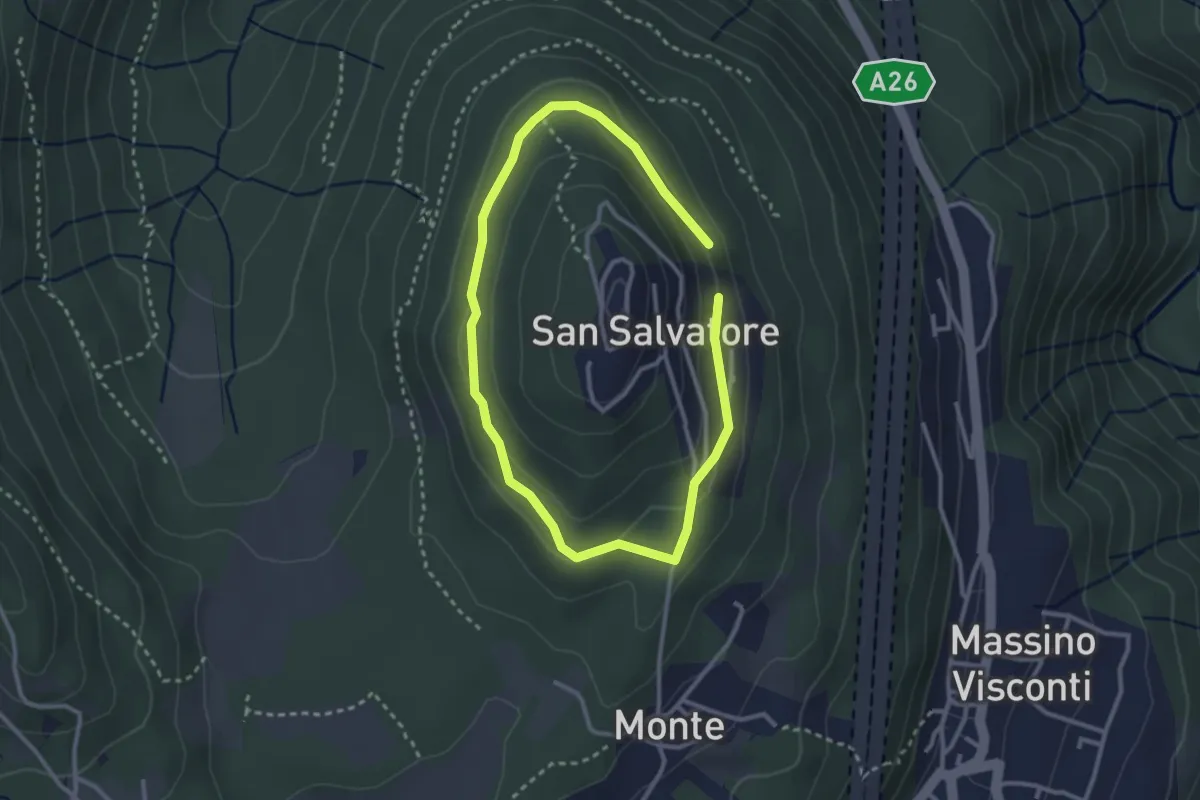
Easy · Trail
Anello di mezzo di San Salvatore
2.4 km · ↑ 58 m · 43 min · 14 km away
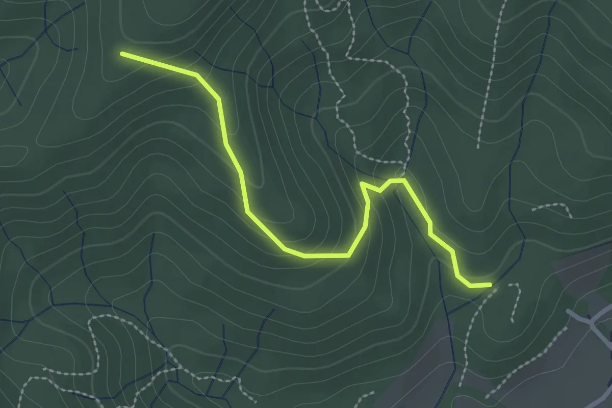
Easy · Trail
VF4 - Fosseno - Alpe Boccioli
2.6 km · ↑ 140 m · 55 min · 15 km away
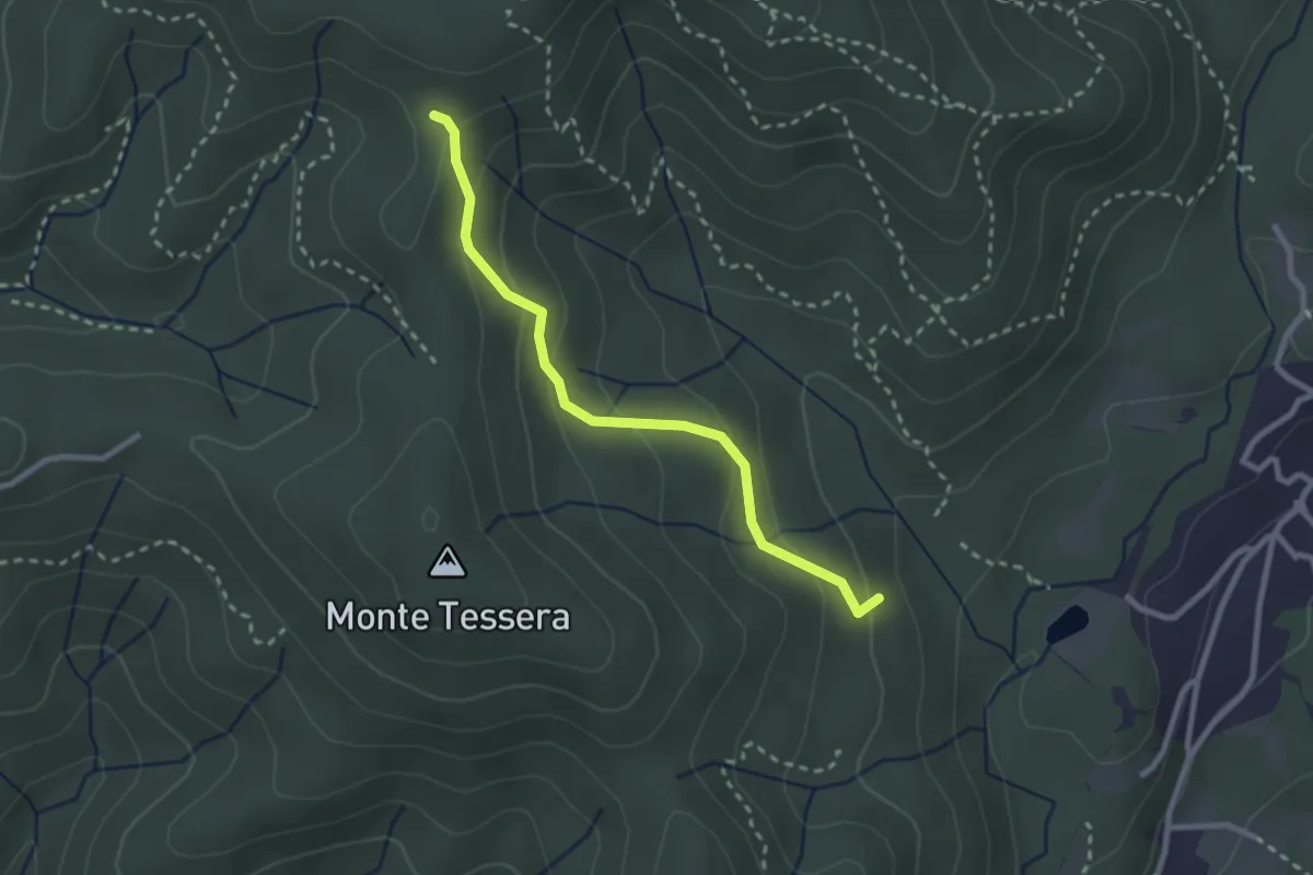
Medium · Trail
VE3 - Bivio VE2 - Viganate
2.6 km · ↑ 159 m · 57 min · 15 km away
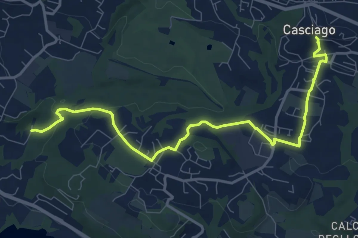
Medium · Trail
Sentiero 321
8.6 km · ↑ 236 m · 2 h 33 min · 15 km away
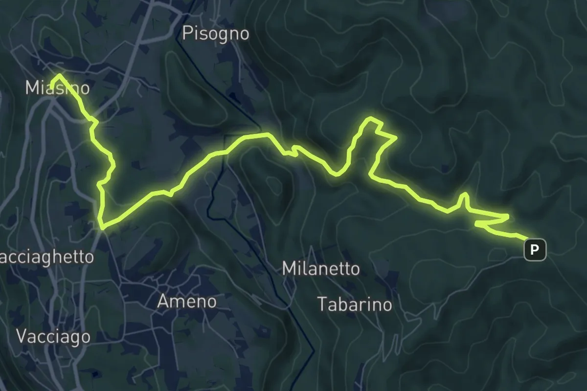
Medium · Trail
VU1 - Miasino - Cappella del Vago
12.9 km · ↑ 544 m · 4 h 13 min · 15 km away
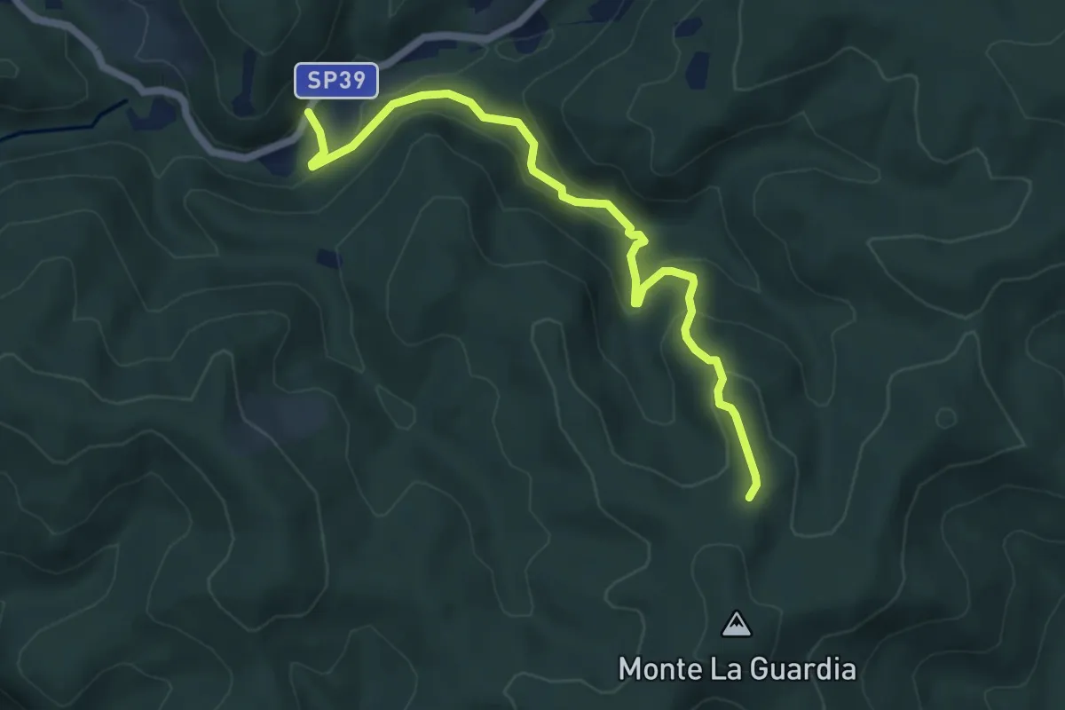
Easy · Trail
VS4 - Masseria Bernaggia - Alpe del Bosco
5.9 km · ↑ 272 m · 1 h 59 min · 15 km away
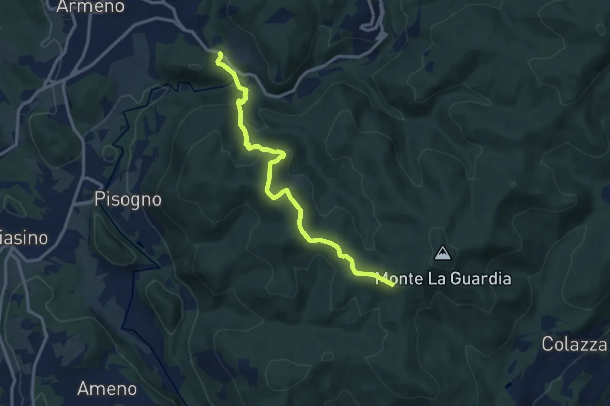
Medium · Trail
VS1 - Americano - Bivio V00
7.7 km · ↑ 437 m · 2 h 46 min · 15 km away
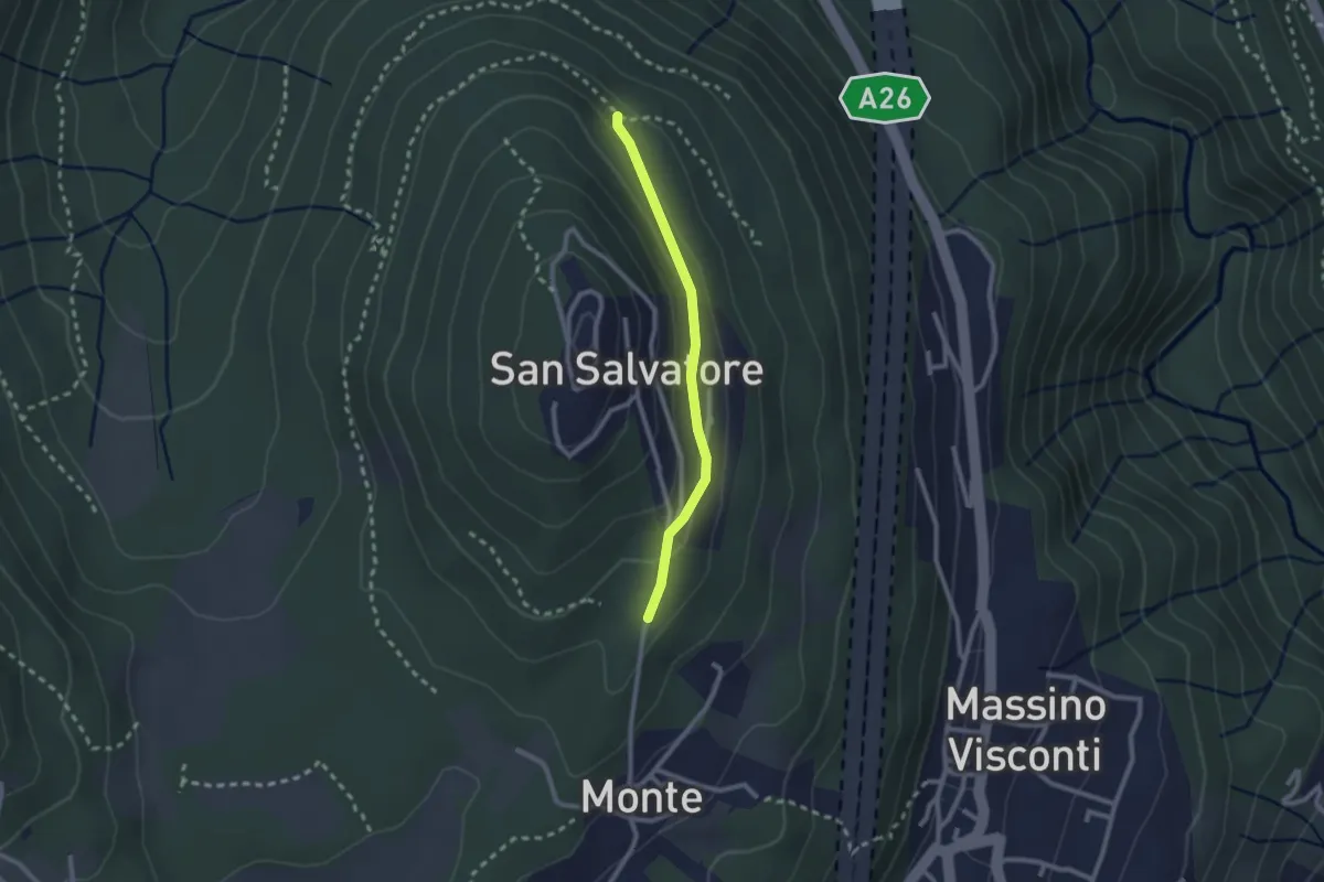
Easy · Trail
VH5a - Bivio VH6 - Bivio VH5
2.1 km · ↑ 83 m · 41 min · 15 km away
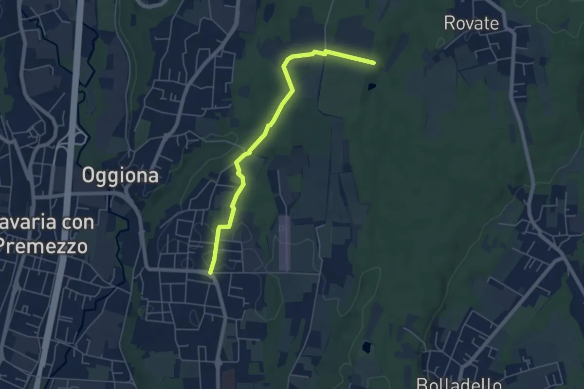
Easy · Trail
Sentiero Rio Freddo
4.9 km · ↑ 36 m · 1 h 15 min · 15 km away
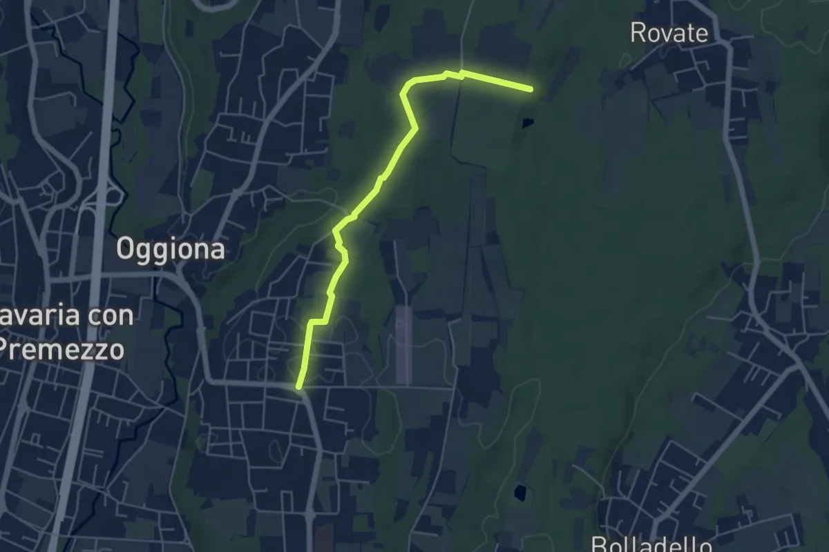
Easy · Trail
523A Sentiero Rio Freddo
4.9 km · ↑ 36 m · 1 h 15 min · 15 km away
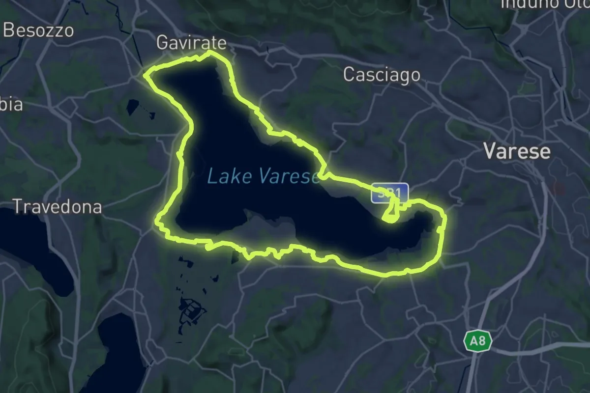
Demanding · Trail
Ciclopedonale Lago di Varese
29.9 km · ↑ 145 m · 7 h 47 min · 15 km away
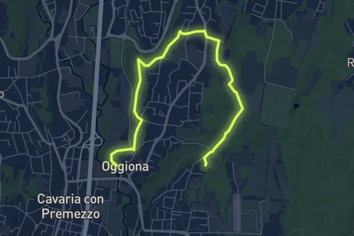
Medium · Trail
Percorsi del Cuore - Anello di Oggiona Santo Stefano
8.2 km · ↑ 118 m · 2 h 11 min · 15 km away
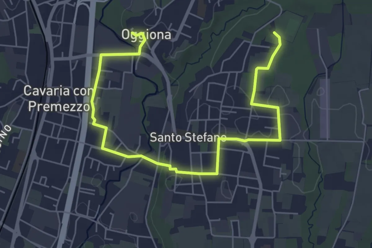
Easy · Trail
Percorsi del Cuore - Anello di Oggiona Santo Stefano
7.1 km · ↑ 68 m · 1 h 50 min · 15 km away
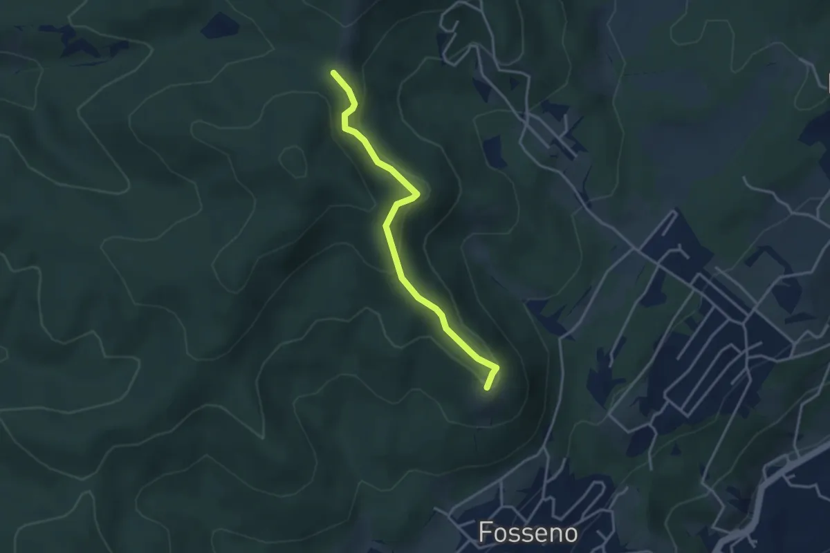
Easy · Summit
VF5 - Fosseno - Il Giogo
3.2 km · ↑ 133 m · 1 h 2 min · 15 km away
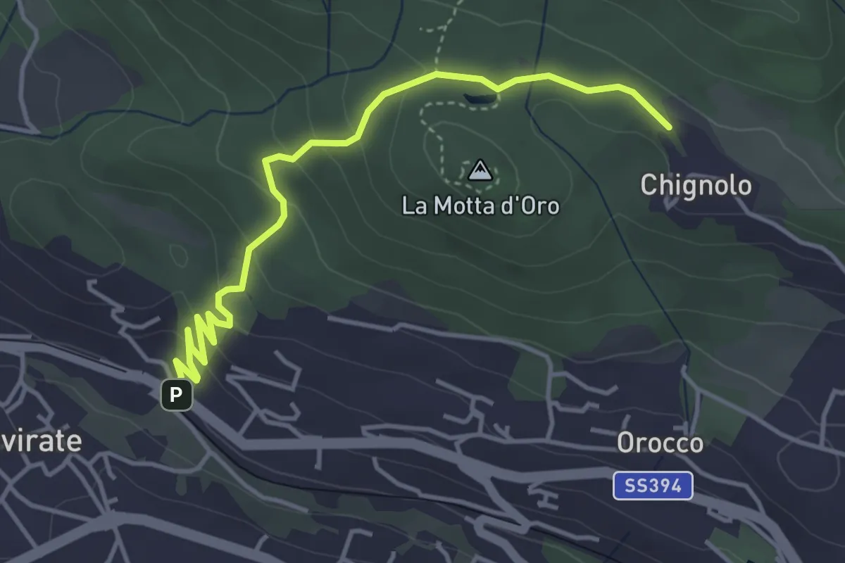
Easy · Trail
Gavirate – Percorso 311
4.3 km · ↑ 201 m · 1 h 26 min · 15 km away