Trails near Sesto Fiorentino
130 hikes starting within 15 km, nearest first.
Nearest first, page 2 of 3
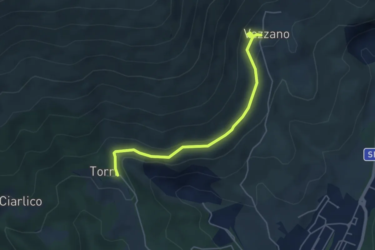
Easy · Trail
Torri di Carraia – Vezzano
4.2 km · ↑ 85 m · 1 h 10 min · 9 km away
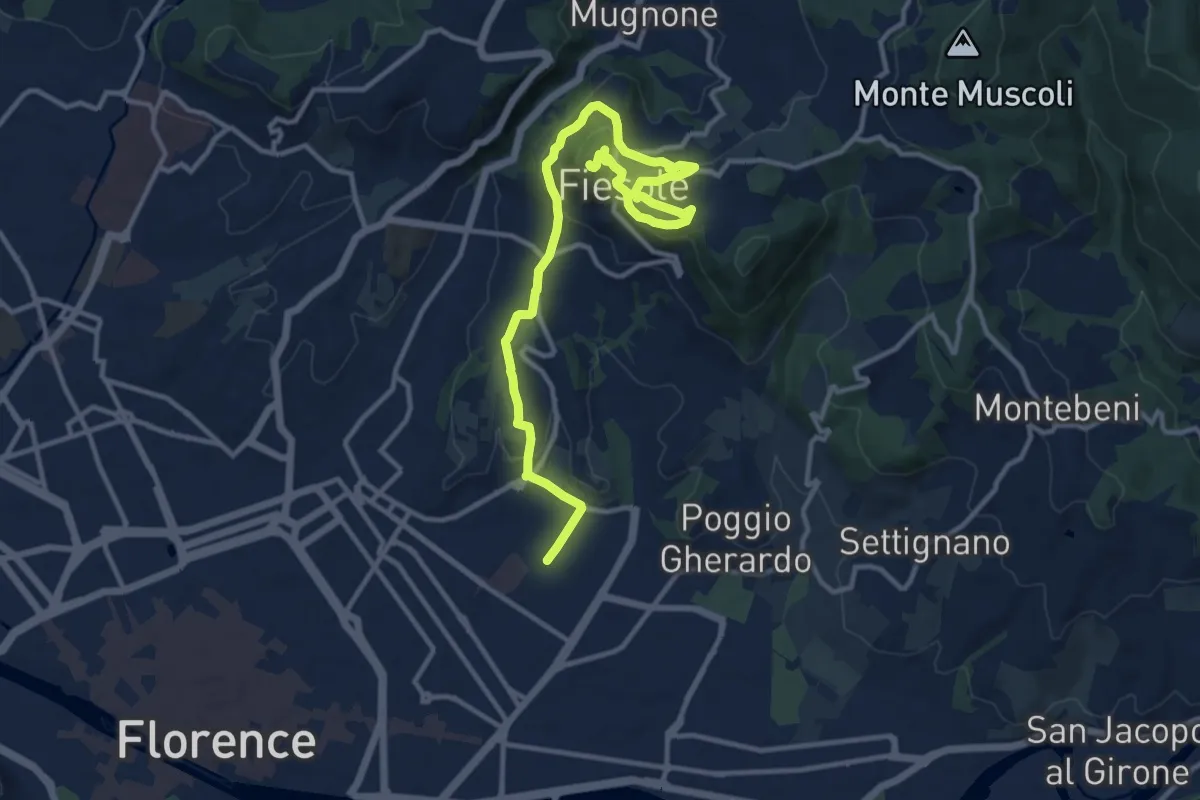
Medium · Summit
Tappa 7 - Da Firenze a Fiesole
15.1 km · ↑ 507 m · 4 h 39 min · 9 km away
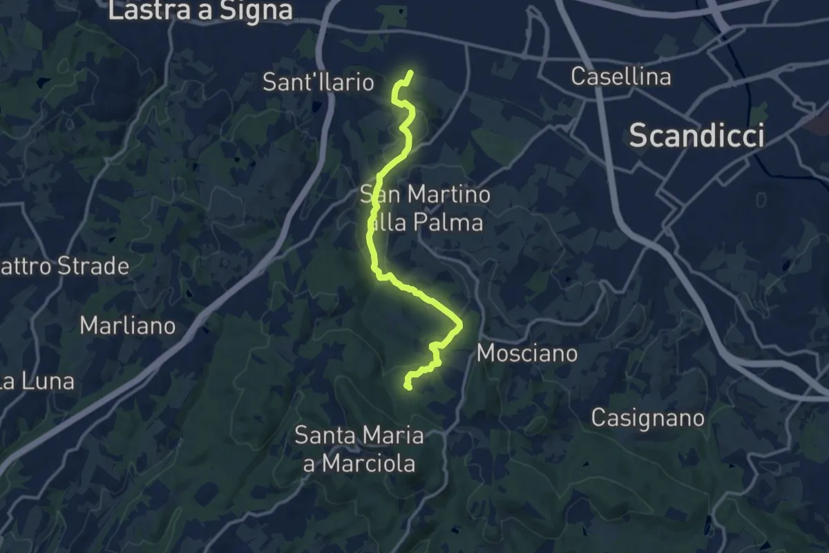
Medium · Trail
sentiero CAI 746 3 fiumi in località Castelpulci - Torrente Vingone – sentiero CAI 734 in località Sevoli
11.6 km · ↑ 315 m · 3 h 25 min · 9 km away
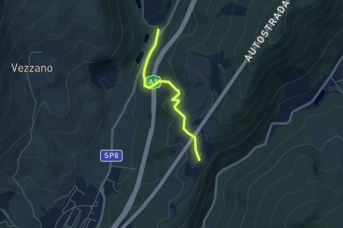
Easy · Trail
La Cassiana – Collina
3.9 km · ↑ 134 m · 1 h 13 min · 9 km away
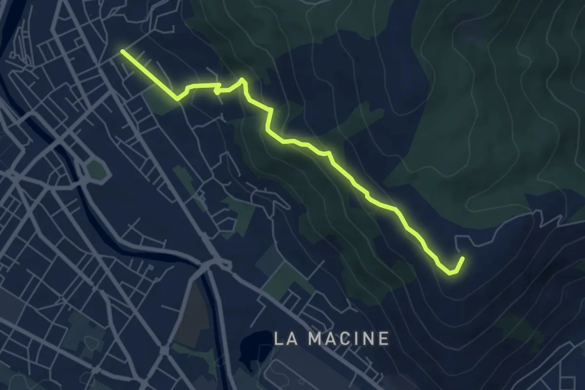
Medium · Summit
Prato (località Cappuccini) – poggio Castiglione
6.1 km · ↑ 326 m · 2 h 10 min · 9 km away
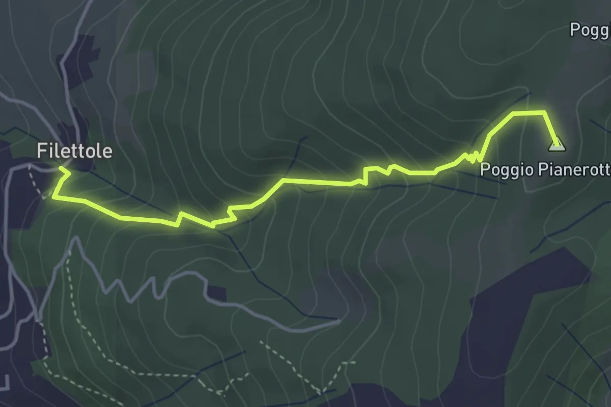
Medium · Summit
Filettole – Via di Travalle
4.1 km · ↑ 363 m · 1 h 45 min · 9 km away
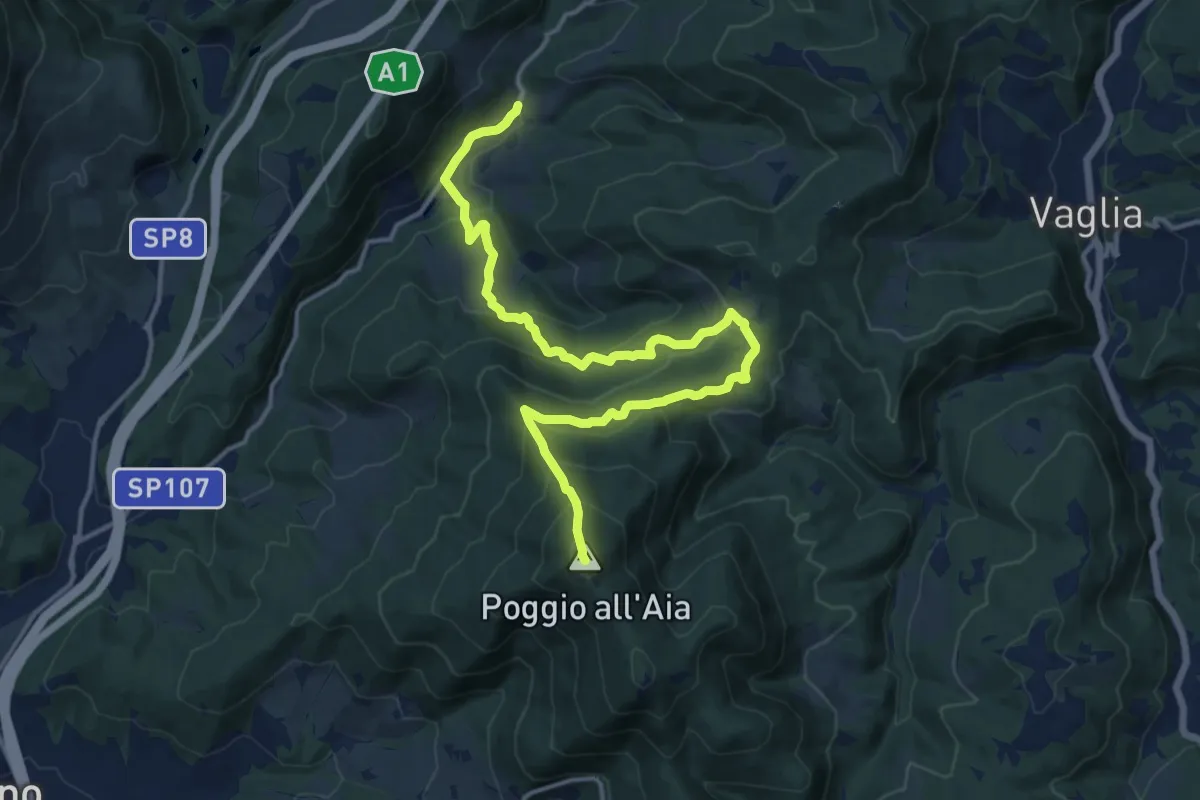
Demanding · Summit
Legri – Poggio all'Aia
17.6 km · ↑ 965 m · 6 h 14 min · 9 km away
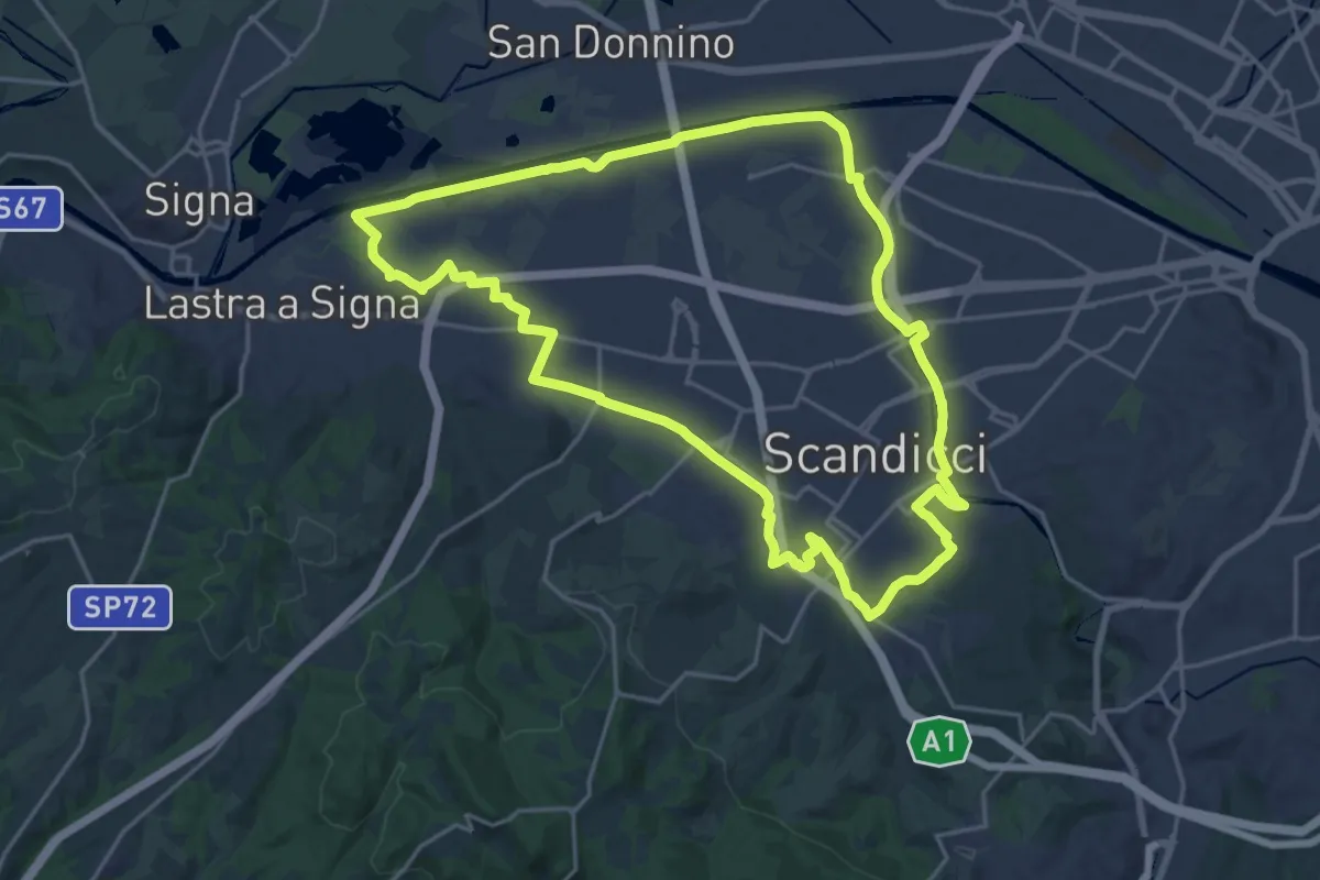
Demanding · Trail
La via dei tre fiumi
22.0 km · ↑ 70 m · 5 h 39 min · 10 km away
Medium · Trail
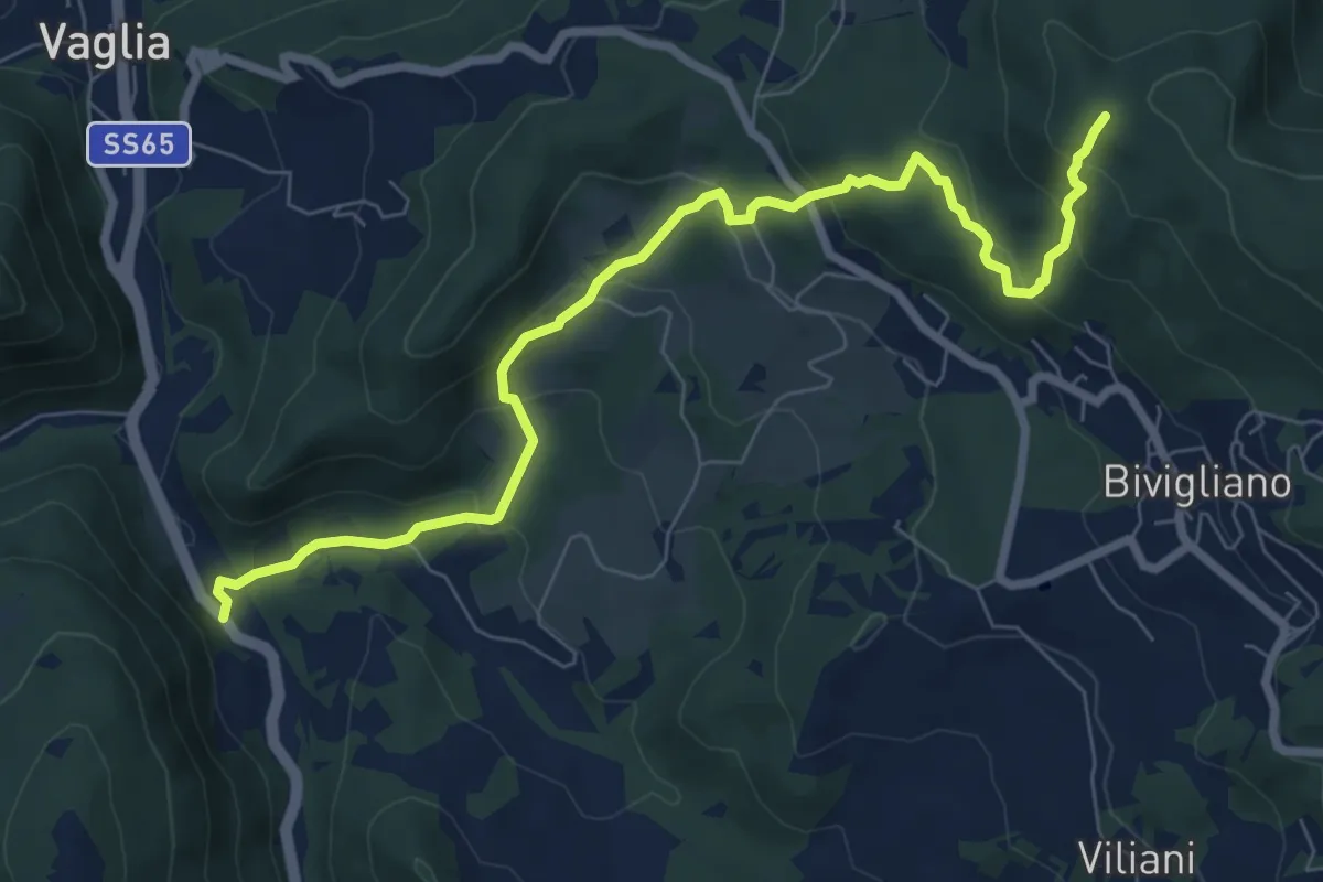
Via Faentina – 300M
8.8 km · ↑ 428 m · 3 h · 10 km away
Medium · Summit
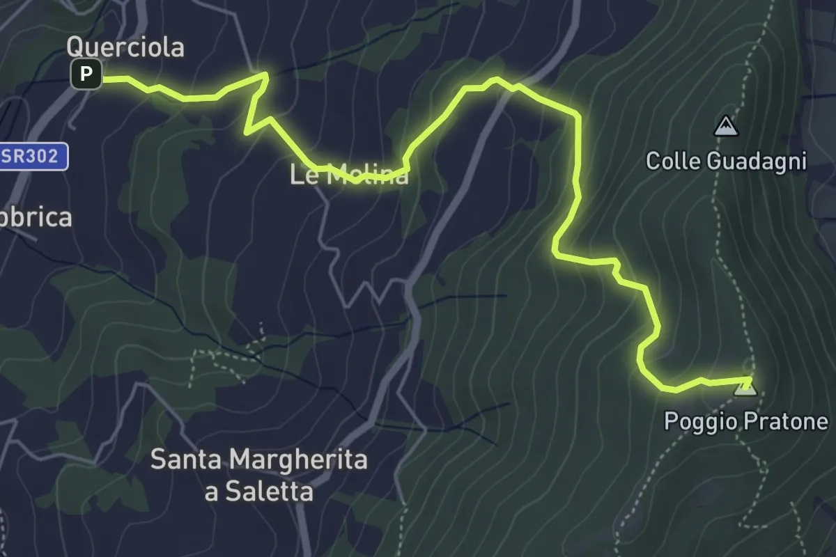
Cammino dell'acqua di Montereggi
6.8 km · ↑ 478 m · 2 h 39 min · 10 km away
Medium · Summit
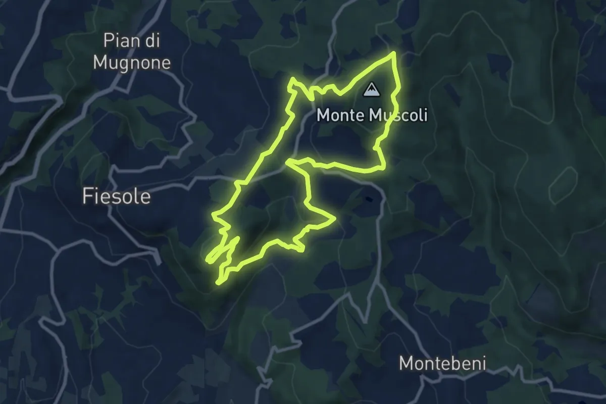
Fiesole – Fiesole
9.6 km · ↑ 409 m · 3 h 17 min · 10 km away
Medium · Summit
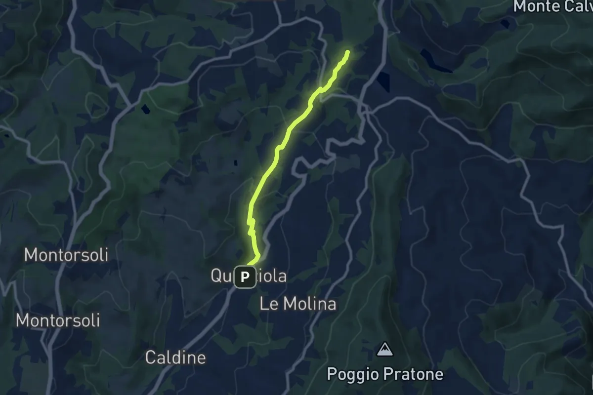
La Querciola – Poggio Capanne
7.7 km · ↑ 370 m · 2 h 37 min · 10 km away
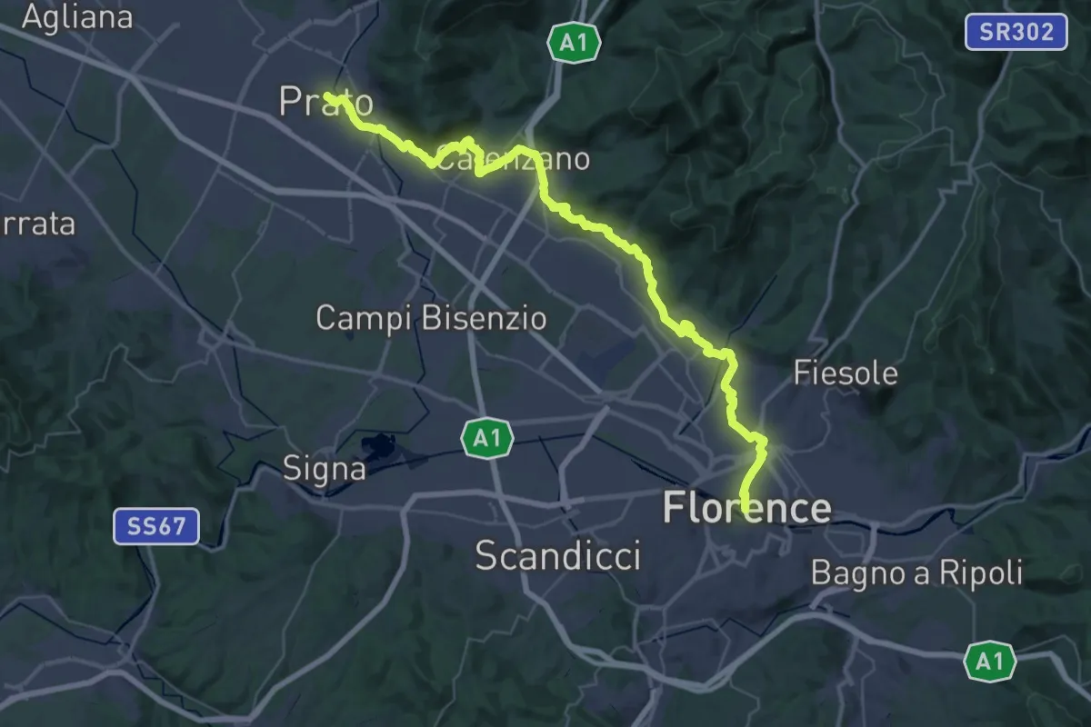
Demanding · Trail
Il Cammino di San Jacopo - Tappa 1
26.9 km · ↑ 437 m · 7 h 40 min · 10 km away
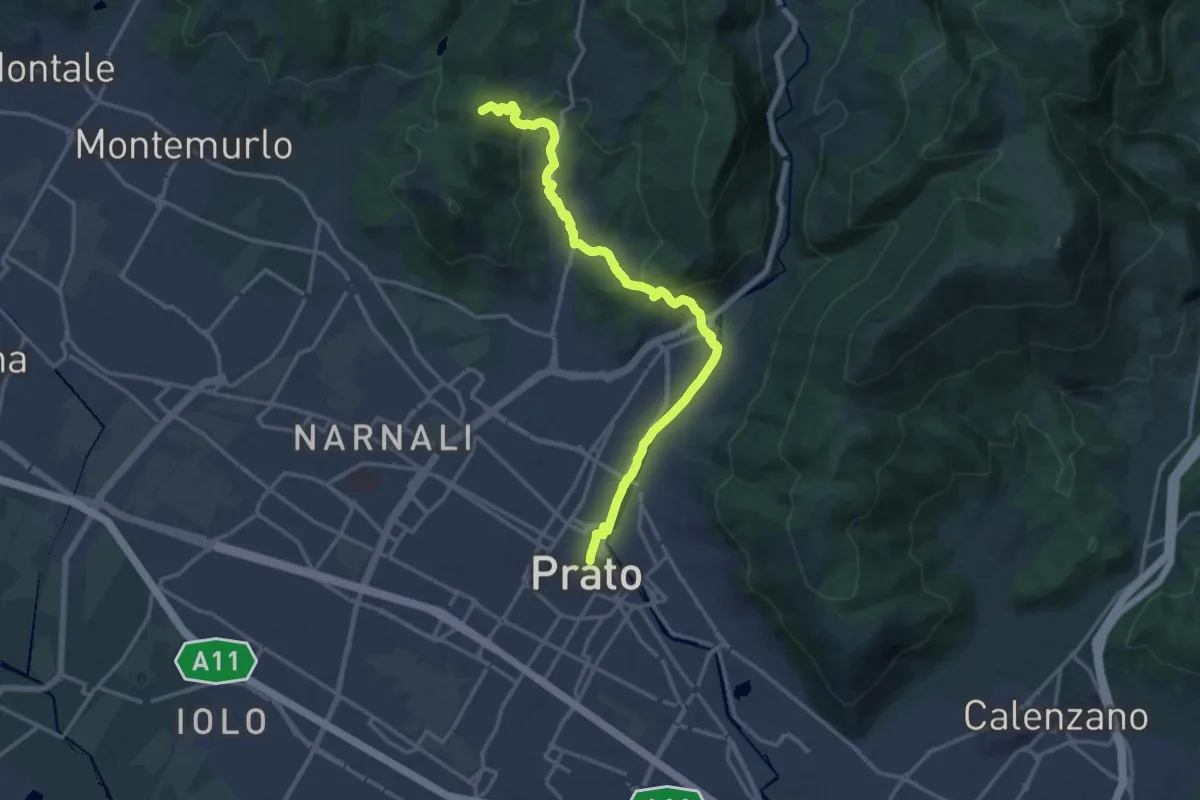
Medium · Summit
Il Cammino di San Jacopo - Tappa 2
17.4 km · ↑ 500 m · 5 h 11 min · 10 km away
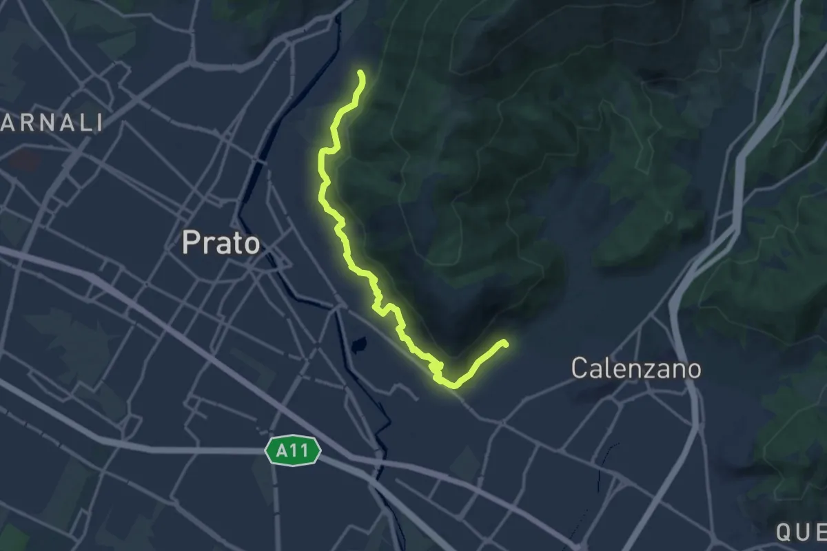
Medium · Trail
Percorso pedecollinare
15.0 km · ↑ 490 m · 4 h 36 min · 10 km away
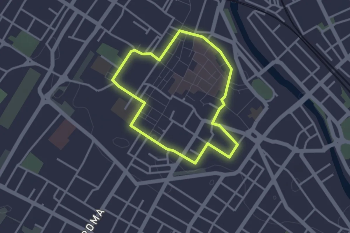
Easy · Trail
Capire la città
2.5 km · ↑ 8 m · 38 min · 10 km away
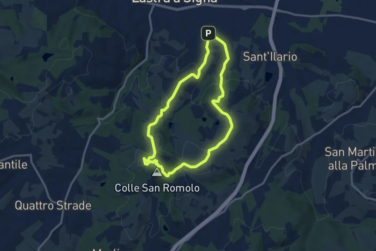
Easy · Summit
Anello di San-Romolo
6.6 km · ↑ 247 m · 2 h 11 min · 10 km away
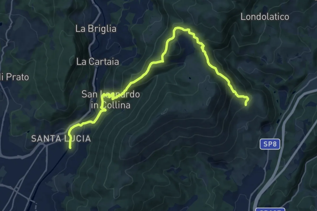
Demanding · Summit
Passerella S. Lucia – Carraia
19.5 km · ↑ 984 m · 6 h 44 min · 10 km away
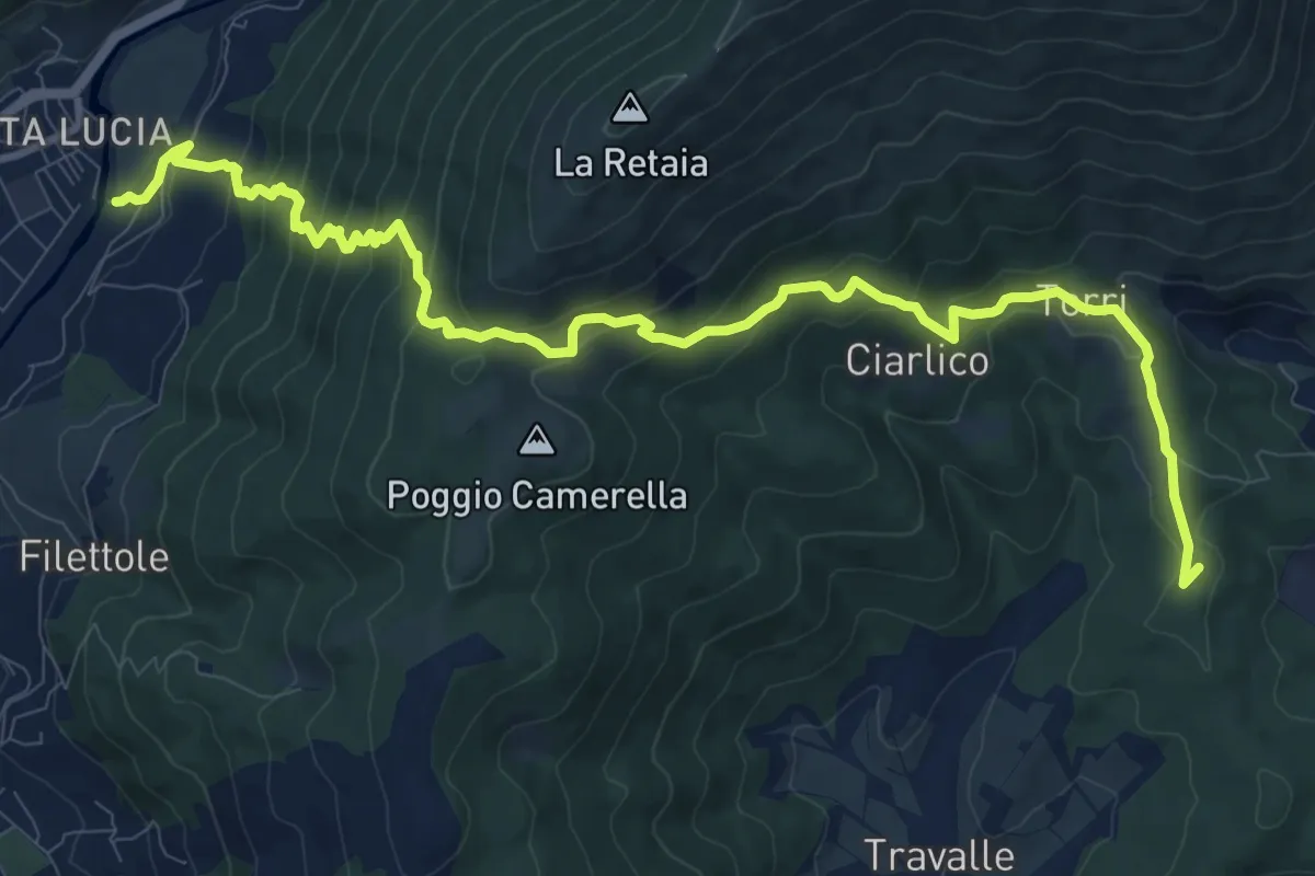
Demanding · Summit
Passerella S. Lucia – Travalle
13.6 km · ↑ 944 m · 5 h 15 min · 10 km away
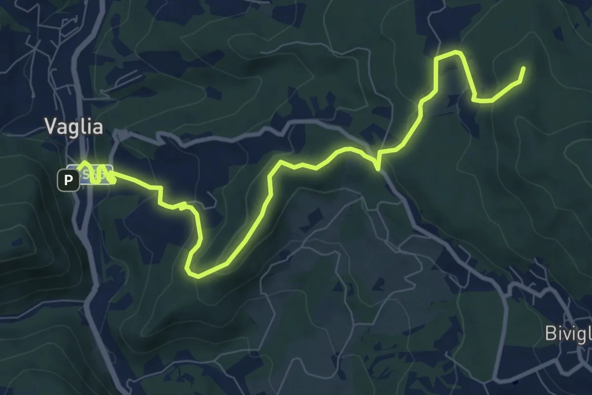
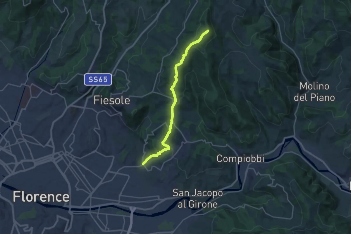
Medium · Summit
Vaglia – Croce di Melago
10.6 km · ↑ 439 m · 3 h 27 min · 10 km away
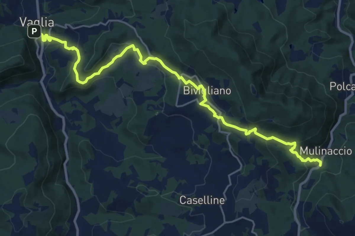
Medium · Summit
Ponte a Mensola – Vetta le Croci
15.2 km · ↑ 644 m · 4 h 59 min · 10 km away
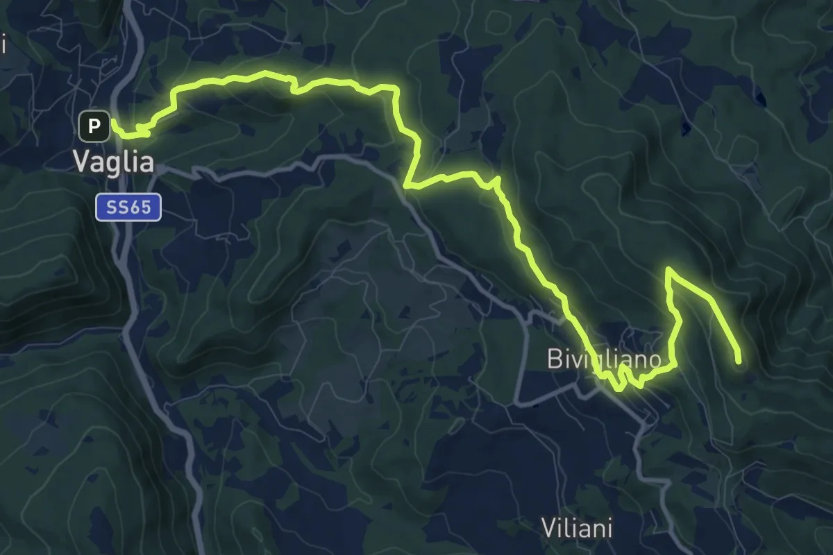
Demanding · Trail
Via di Montesenario
18.1 km · ↑ 724 m · 5 h 50 min · 11 km away
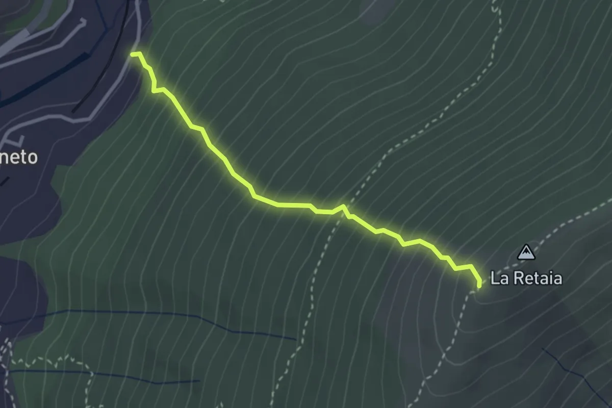
Medium · Trail
La Ovest Retaia
2.8 km · ↑ 628 m · 2 h 1 min · 11 km away
Medium · Summit
Sentiero delle Testimonianze
15.6 km · ↑ 642 m · 5 h 4 min · 11 km away
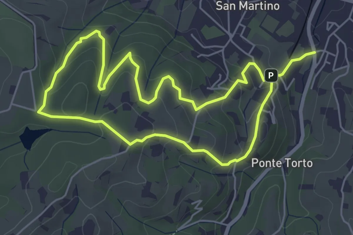
Easy · Trail
Anello Villa Caruso
4.9 km · ↑ 243 m · 1 h 46 min · 11 km away
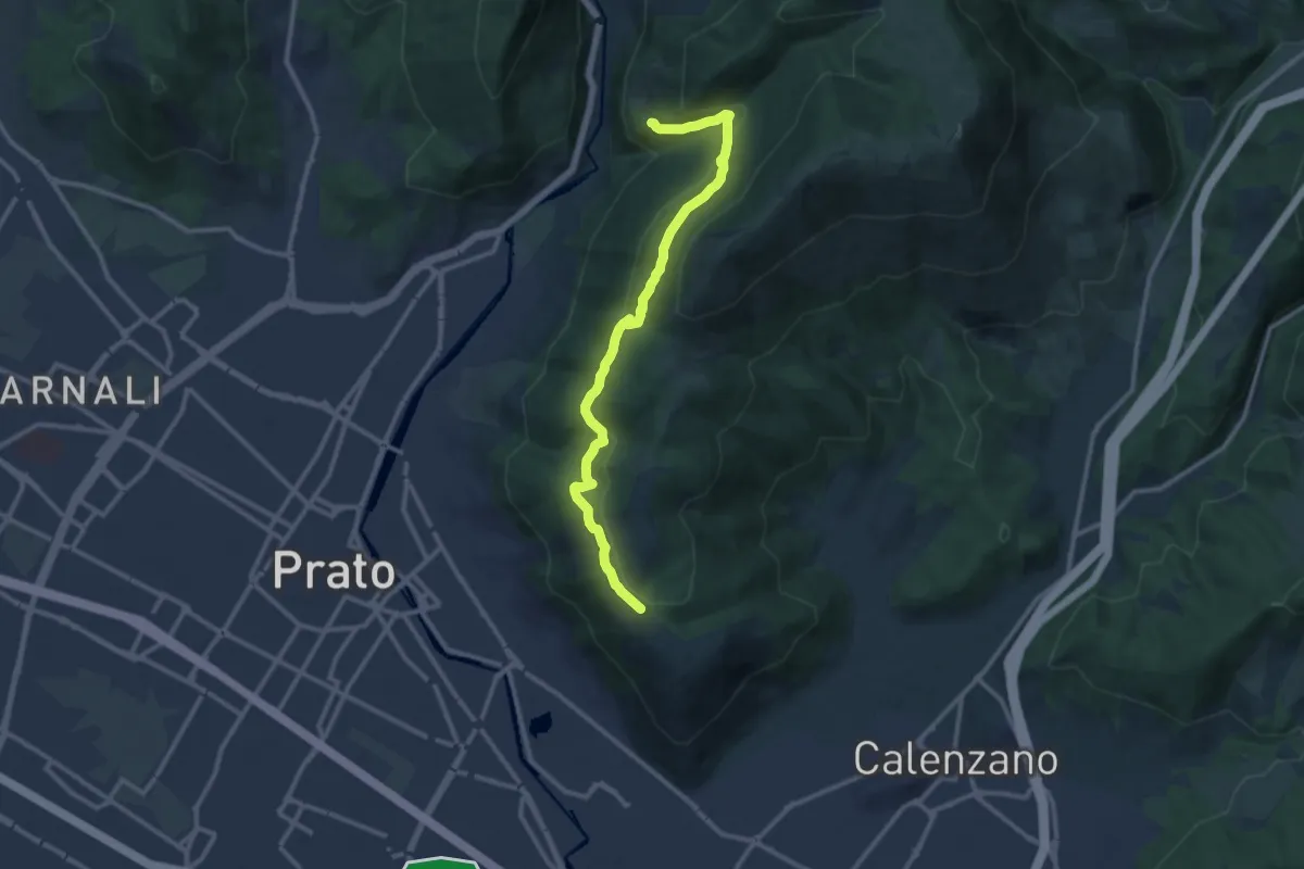
Medium · Trail
San Leonardo – Fosso della Valluccia
12.8 km · ↑ 519 m · 4 h 8 min · 11 km away
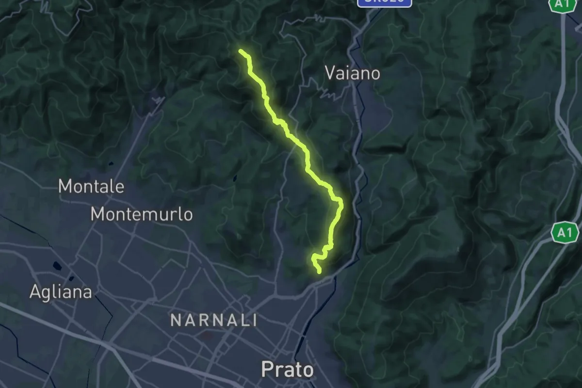
Demanding · Summit
sentiero Malaparte – Passo degli Acquiputoli
20.7 km · ↑ 1059 m · 7 h 11 min · 11 km away
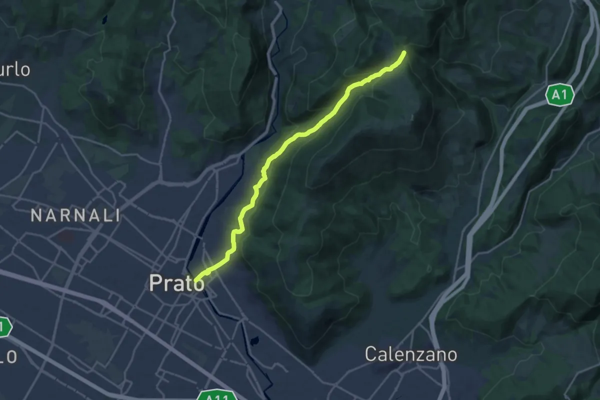
Medium · Trail
Prato - Ponte al Mercatale – Valibona
16.7 km · ↑ 697 m · 5 h 27 min · 11 km away
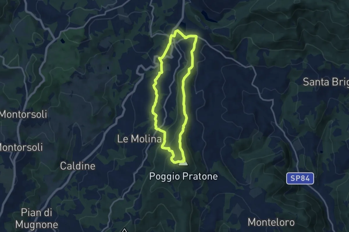
Medium · Summit
Olmo – Olmo
9.0 km · ↑ 359 m · 3 h 2 min · 11 km away
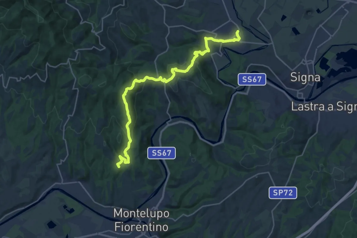
Demanding · Summit
Tappa 4 - Da Montereggi a Comeana
21.9 km · ↑ 781 m · 6 h 52 min · 11 km away
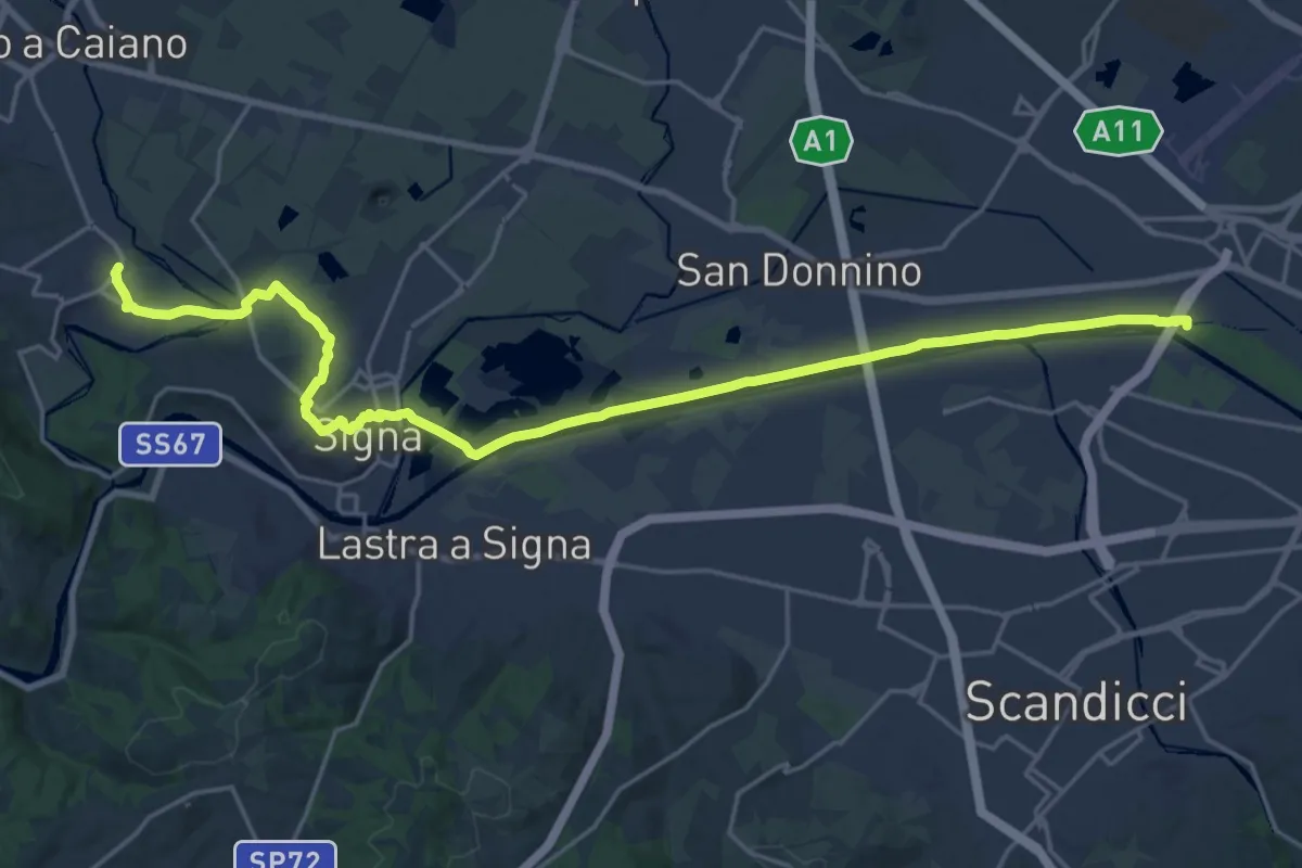
Demanding · Trail
Tappa 5 - Da Comeana a Firenze
26.8 km · ↑ 177 m · 6 h 42 min · 11 km away
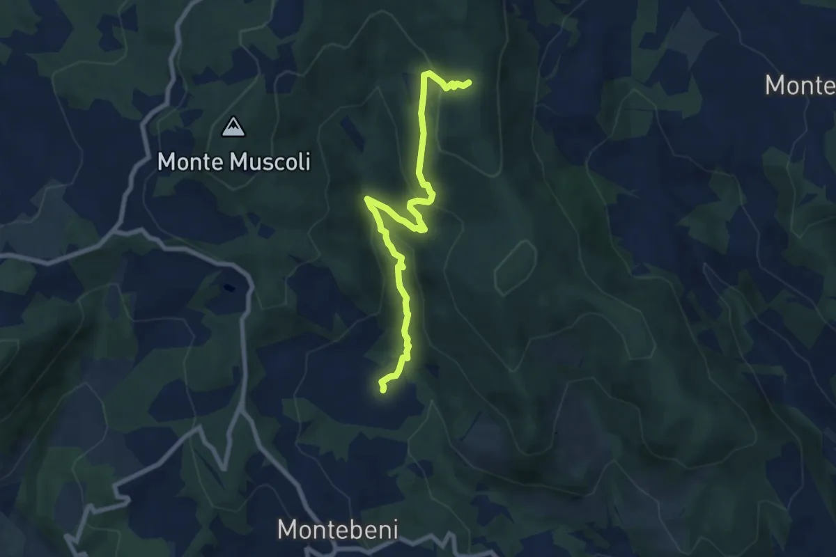
Medium · Trail
Ontignano – Casa le Sorti
7.2 km · ↑ 324 m · 2 h 24 min · 12 km away
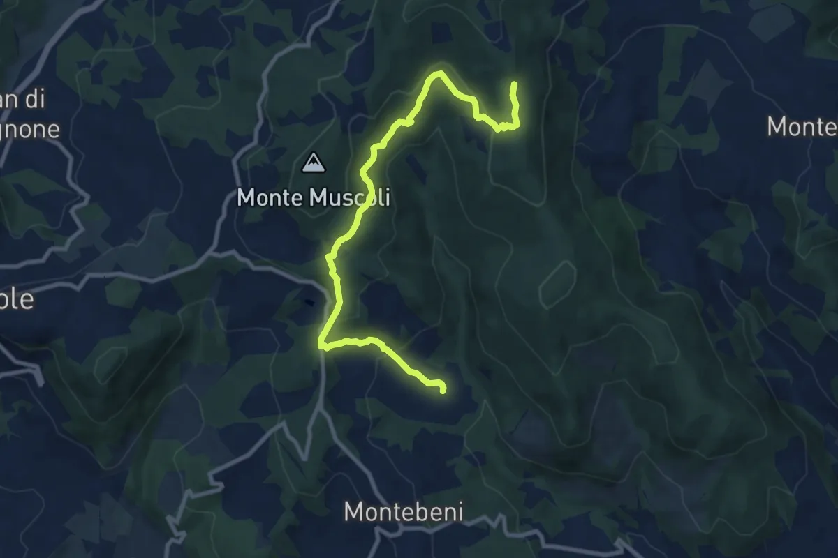
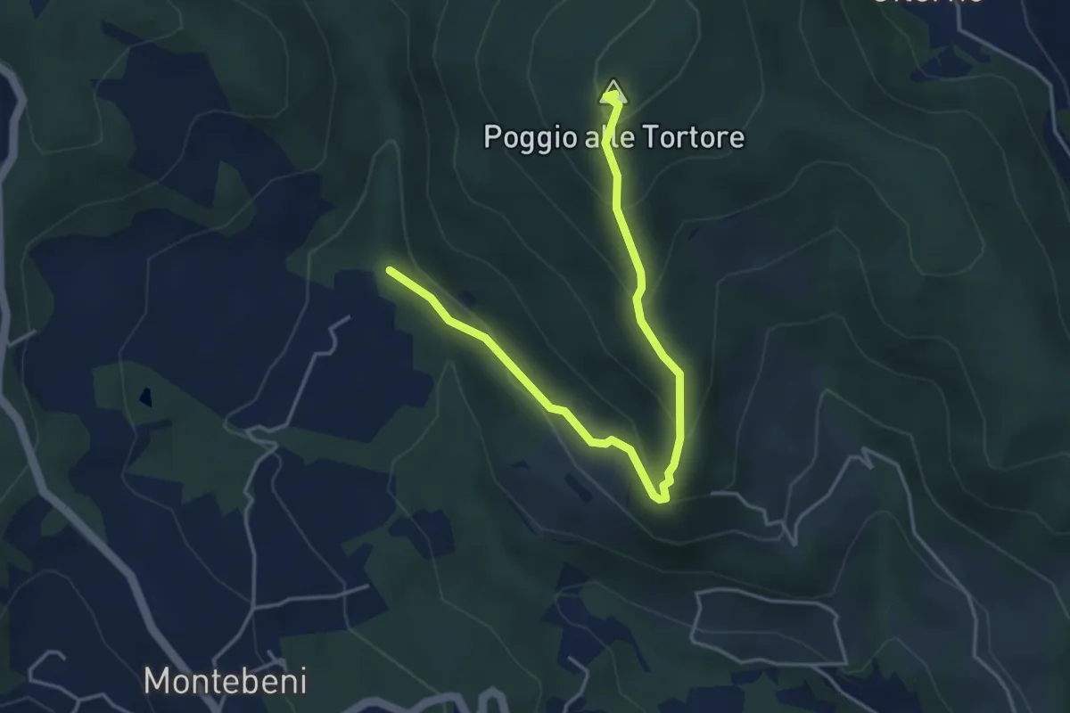
Medium · Trail
Ontignano – San Clemente
10.0 km · ↑ 413 m · 3 h 15 min · 12 km away
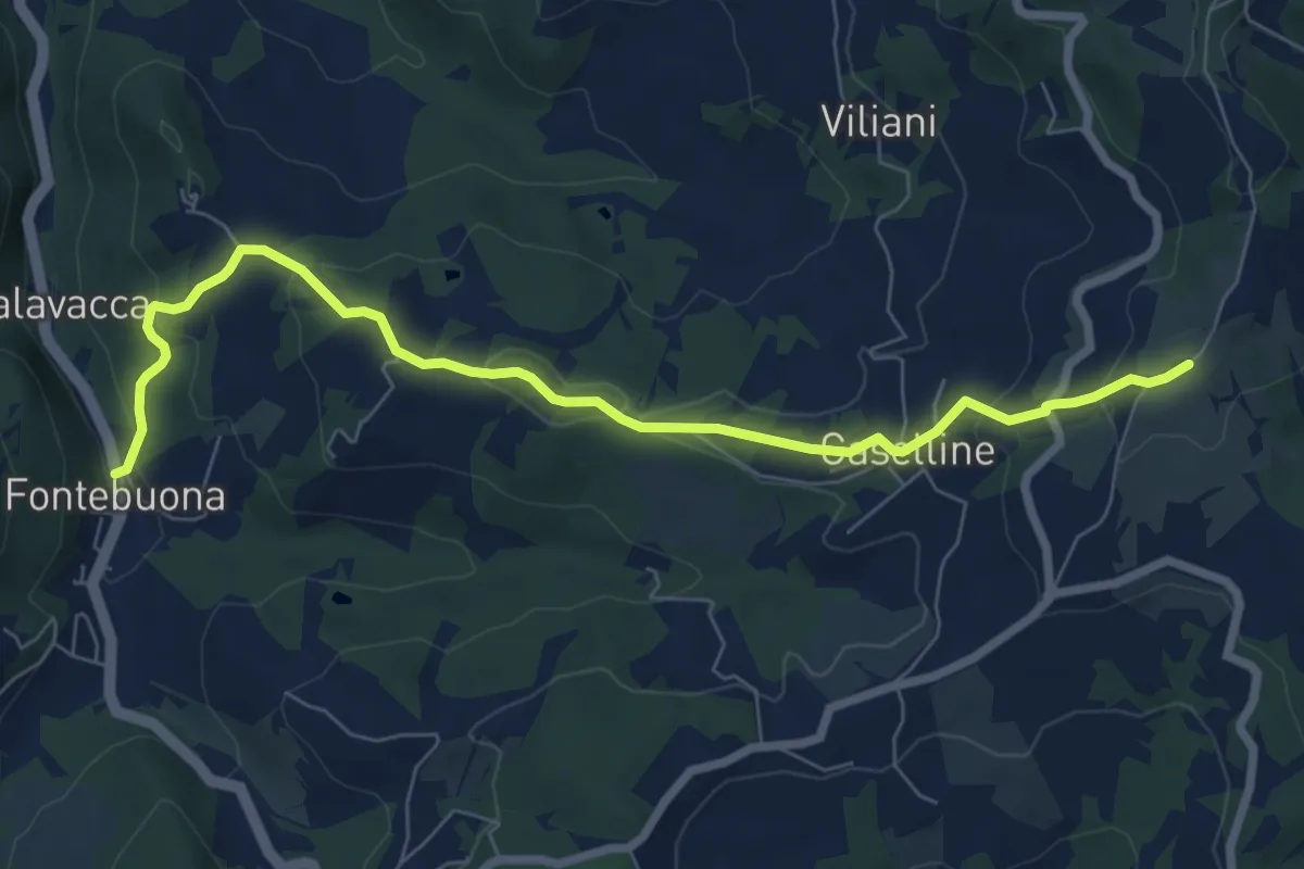
Demanding · Summit
Incrocio Sentiero 708 – Incrocio Sentiero 703
4.6 km · ↑ 273 m · 1 h 41 min · 12 km away
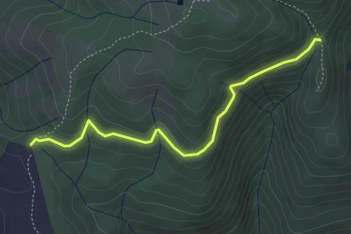
Medium · Trail
Percorso 5 – Caselline
8.2 km · ↑ 290 m · 2 h 34 min · 12 km away
Easy · Cabin
Rimaggio di Monte Maggiore – Foce ai Cerri Nord
4.4 km · ↑ 182 m · 1 h 25 min · 12 km away
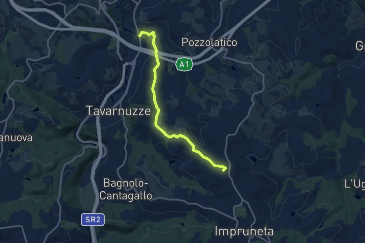
Medium · Summit
Bottai – Impruneta
9.6 km · ↑ 257 m · 2 h 50 min · 12 km away
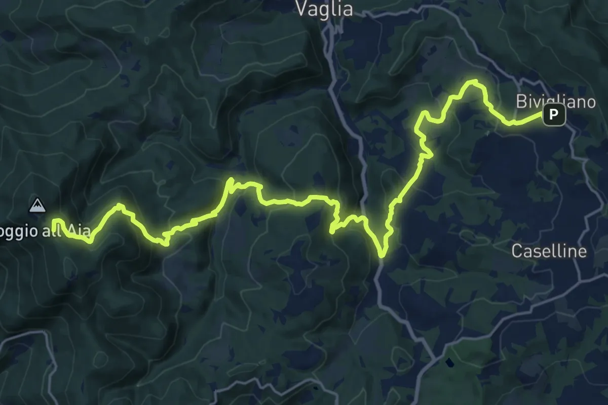
Demanding · Summit
Il Sentiero Delle Cime - 61 - Comune di Vaglia
26.4 km · ↑ 1504 m · 9 h 30 min · 12 km away
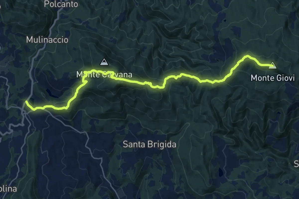
Demanding · Summit
Vetta le Croci – Scopeti
22.8 km · ↑ 1065 m · 7 h 41 min · 12 km away
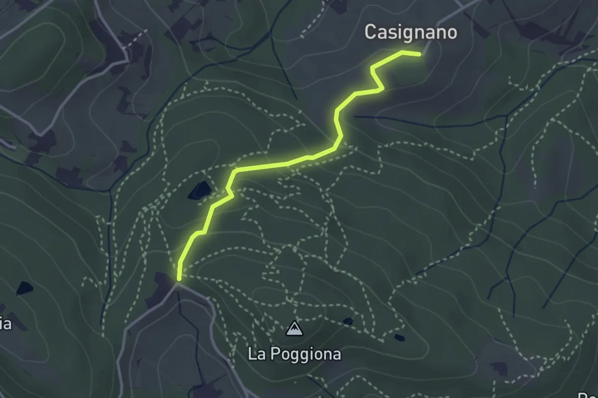
Easy · Trail
Casignano – La Catena
3.0 km · ↑ 126 m · 58 min · 12 km away
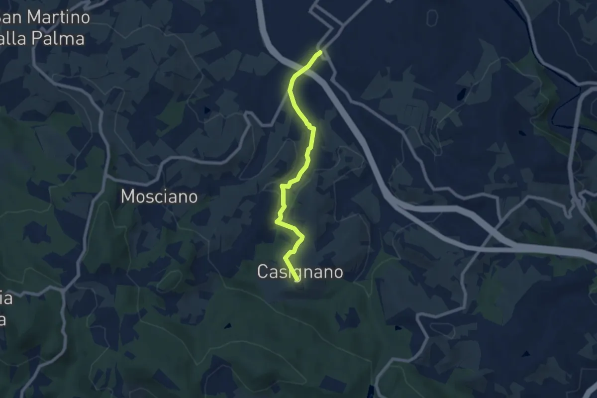
Easy · Trail
Vingone – Casignano (innesto Percorso 736)
6.3 km · ↑ 161 m · 1 h 51 min · 12 km away
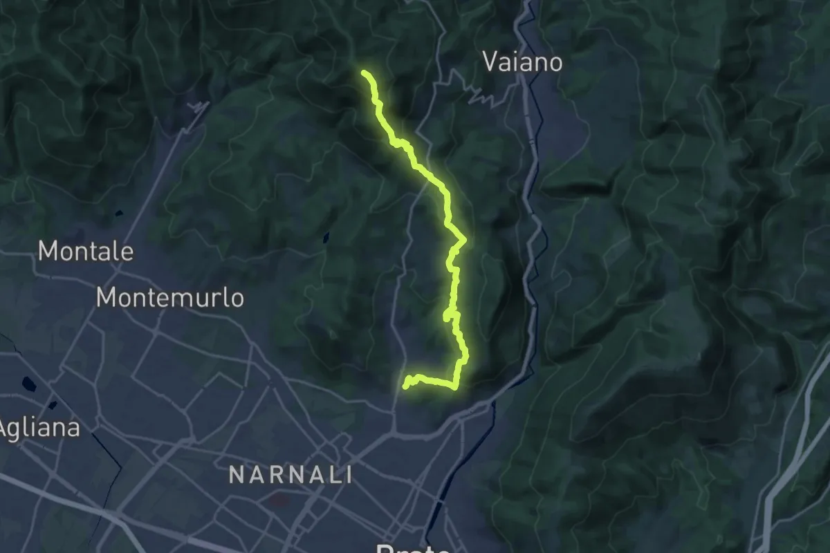
Demanding · Summit
Tramonto di un'Alba
19.9 km · ↑ 1090 m · 7 h 4 min · 12 km away
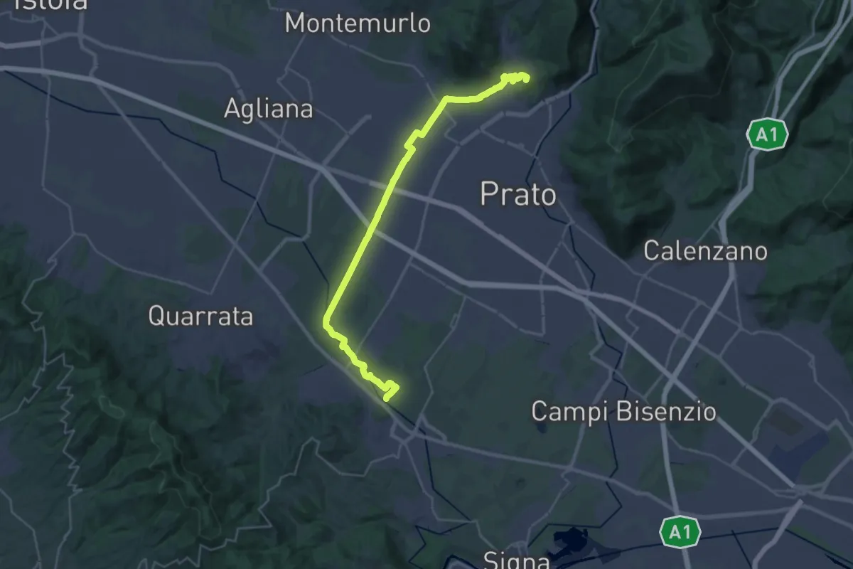
Demanding · Summit
Stazione Centrale Prato – Ponte Manetti - Cascine di Tavola
30.9 km · ↑ 147 m · 7 h 38 min · 12 km away
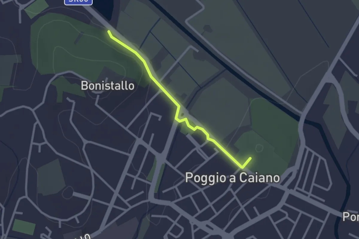
Easy · Trail
Poggio a Caiano – Bargo
2.3 km · ↑ 22 m · 35 min · 12 km away
Easy · Trail
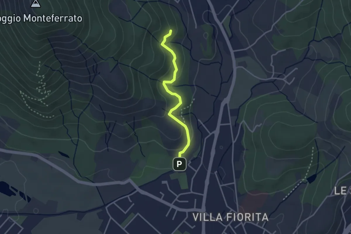
Sentiero Aurora (Piero Sambrotta)
2.7 km · ↑ 117 m · 54 min · 12 km away
Medium · Summit
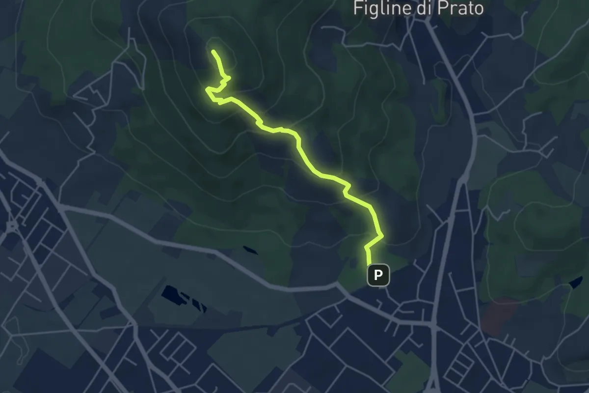
Galceti – Passo della Collina
4.4 km · ↑ 339 m · 1 h 47 min · 12 km away
Easy · Trail
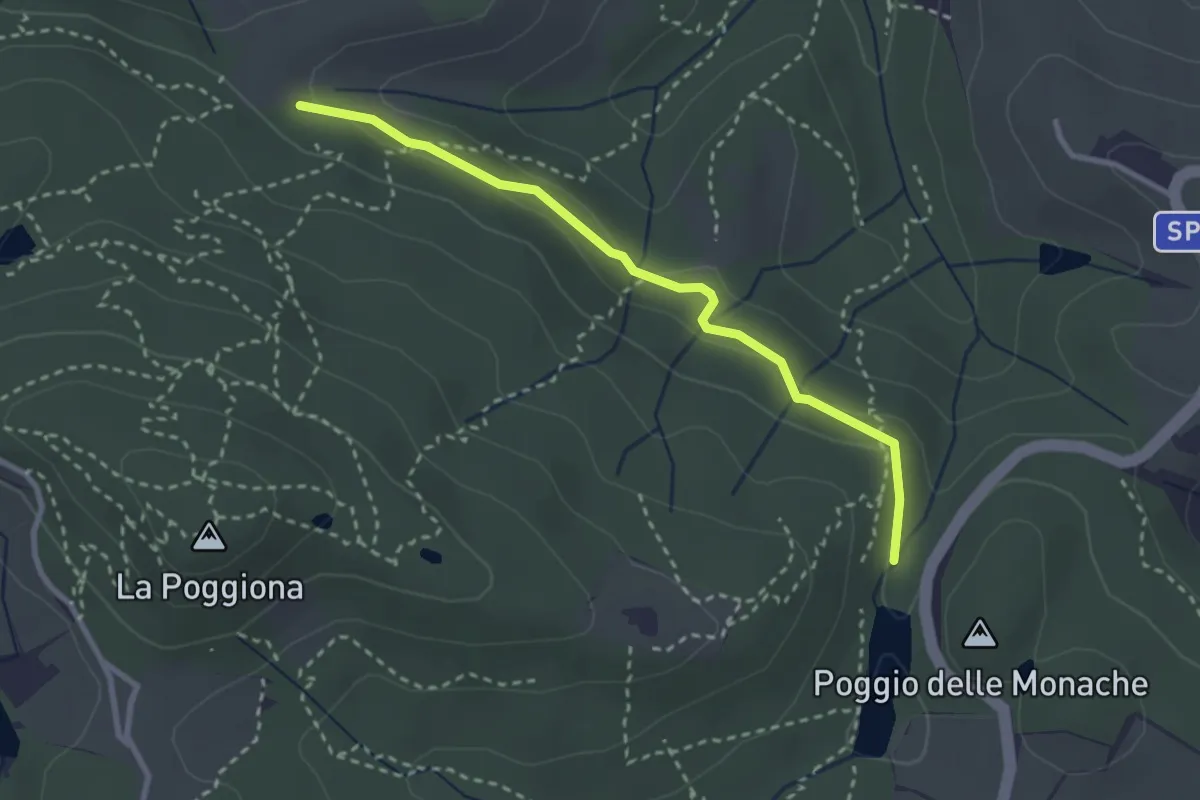
Casignano – Lago di Chiesanuova
3.0 km · ↑ 68 m · 51 min · 12 km away
Easy · Trail
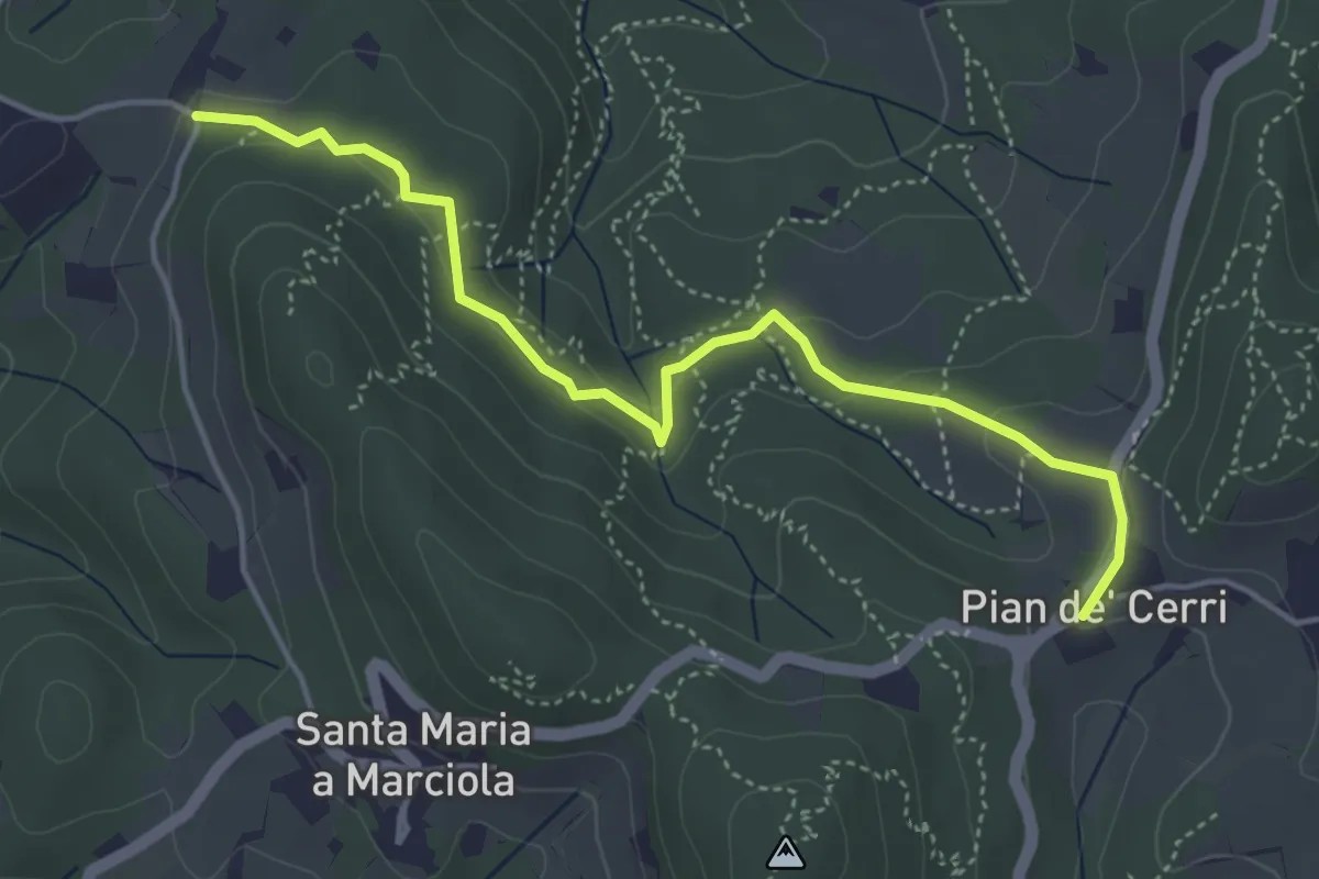
Pian de' Cerri – Roncigliano
4.9 km · ↑ 122 m · 1 h 25 min · 13 km away