Trails near Sesto Fiorentino
130 hikes starting within 15 km, nearest first.
Nearest first, page 3 of 3
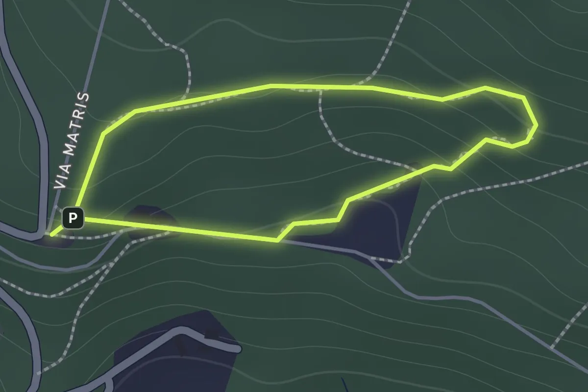
Easy · Trail
Sentiero di Andrea
1.2 km · ↑ 57 m · 26 min · 13 km away
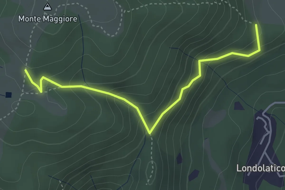
Easy · Summit
Campiano – Conconi di monte Maggiore
3.8 km · ↑ 293 m · 1 h 32 min · 13 km away
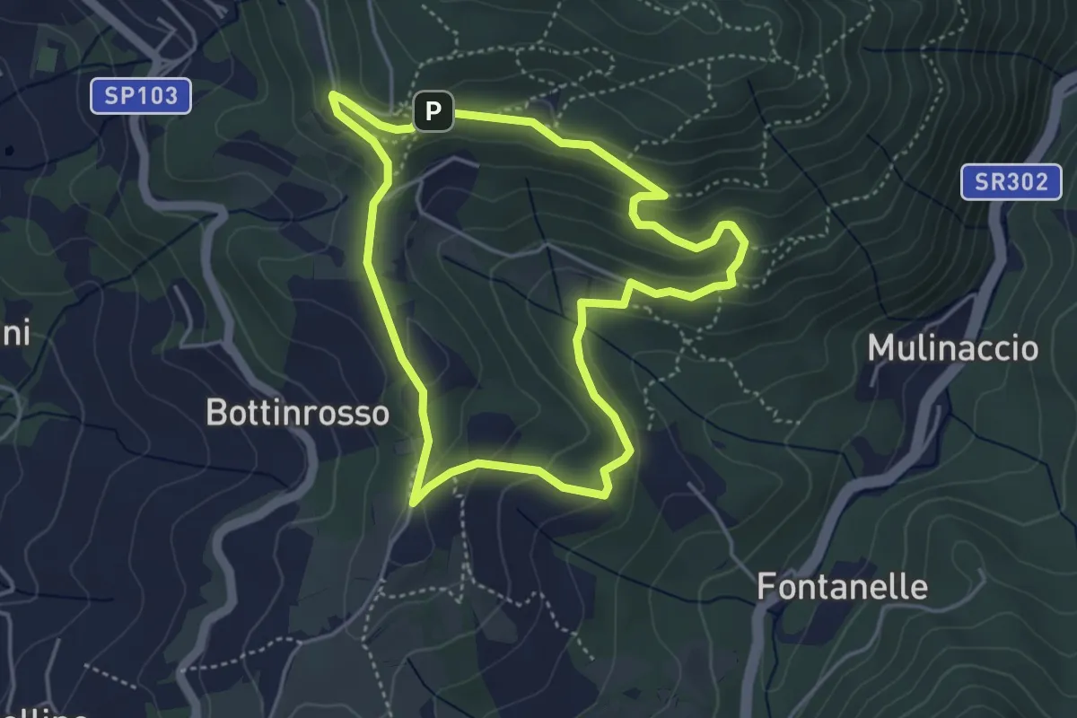
Easy · Trail
Itinerario delle Burraie
4.2 km · ↑ 171 m · 1 h 25 min · 13 km away
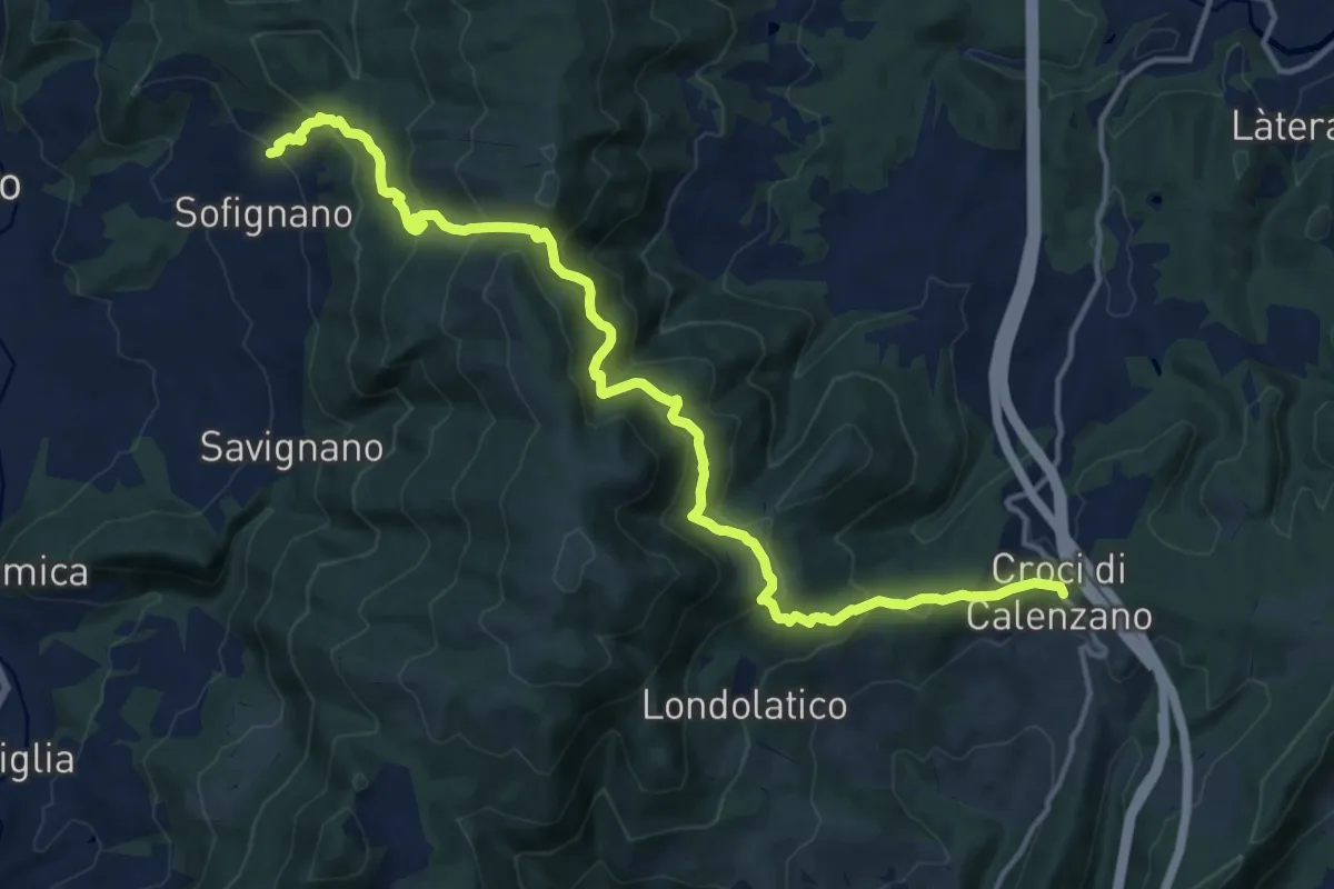
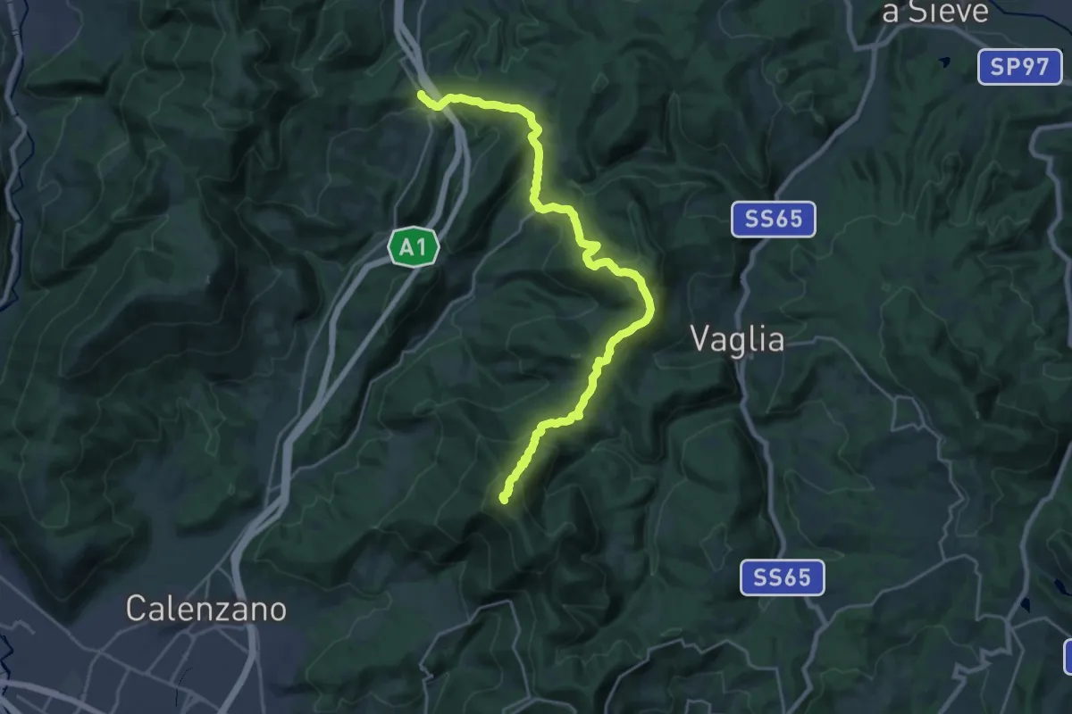
Demanding · Trail
Chiesa di Sofignano – Croci di Calenzano
17.0 km · ↑ 948 m · 6 h 4 min · 13 km away
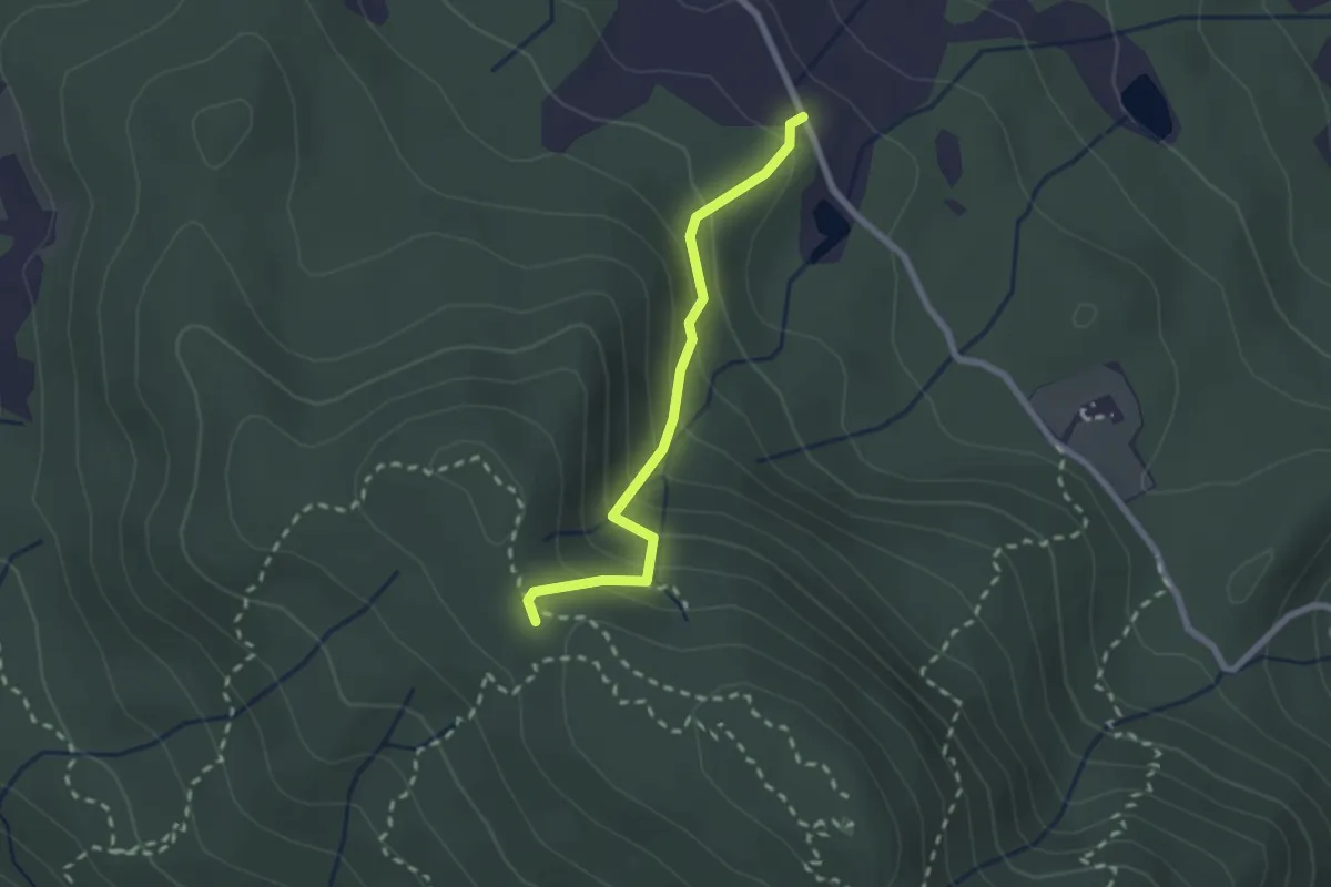
Demanding · Summit
Ceppeto – Croci di Calenzano
24.5 km · ↑ 996 m · 7 h 56 min · 13 km away
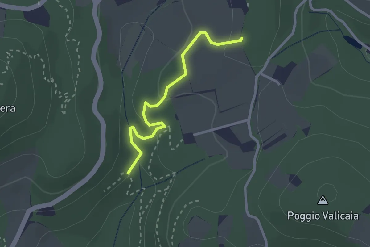
Medium · Trail
Fattoria – Monte Senario
2.2 km · ↑ 181 m · 55 min · 13 km away
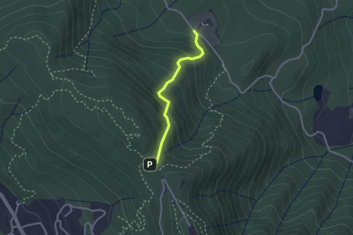
Easy · Trail
Sentiero 730 (Spazzavento) – Sentiero 732 (Lago delle Ninfee)
2.3 km · ↑ 59 m · 40 min · 13 km away
Medium · Trail
Polcanto – Monte Senario
2.1 km · ↑ 224 m · 58 min · 13 km away
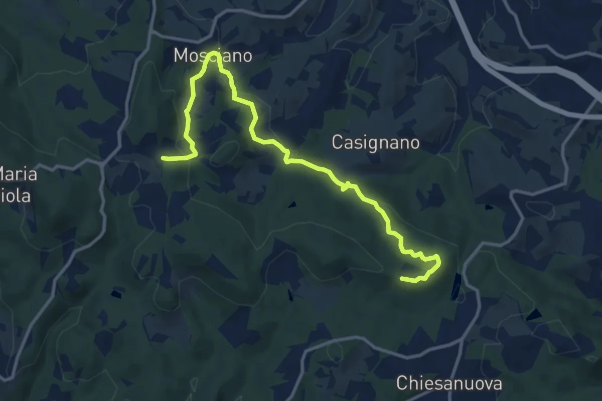
Medium · Trail
Sentiero 730 (Podere Leone) – Il Cerro
10.7 km · ↑ 364 m · 3 h 19 min · 13 km away
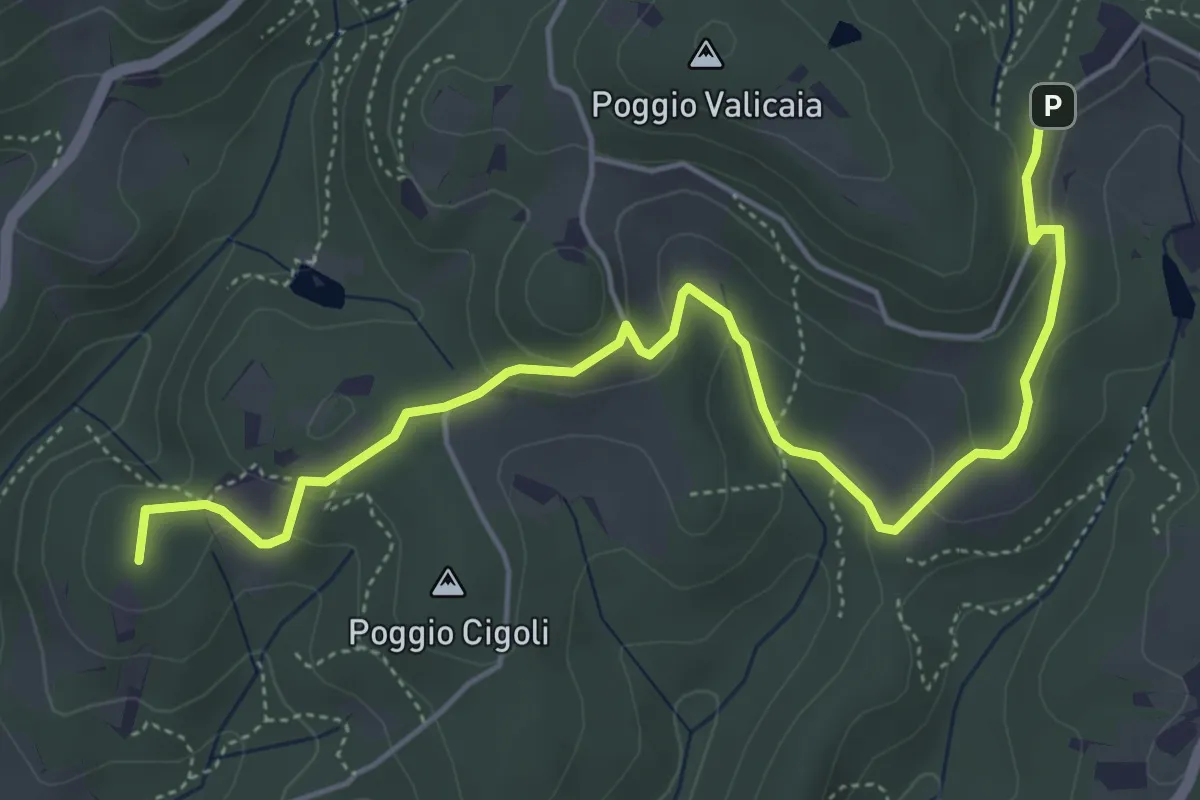
Easy · Summit
Castellare – Poggio Valicaia
6.3 km · ↑ 220 m · 1 h 57 min · 13 km away
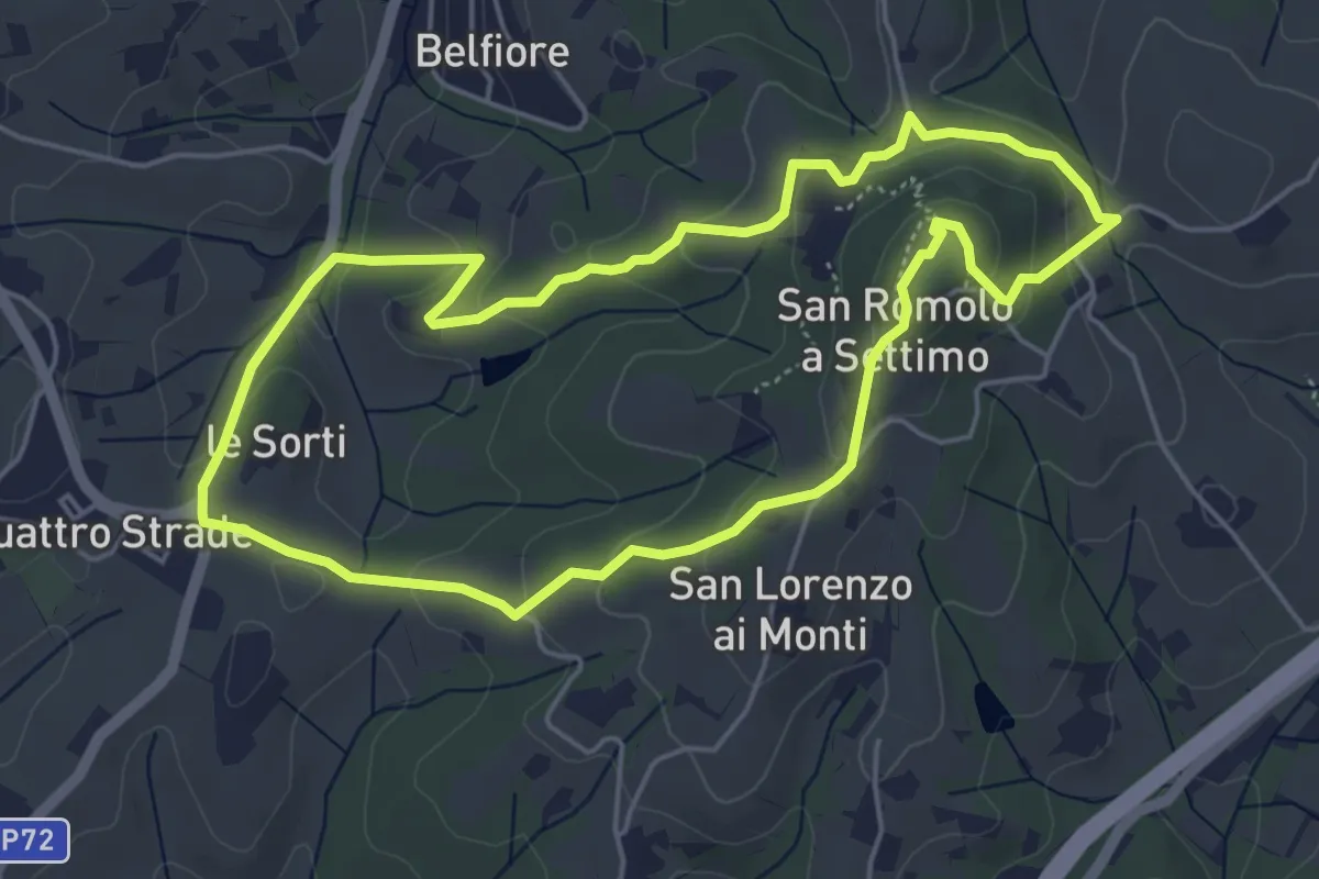
Easy · Summit
Anello della Guerrina
5.2 km · ↑ 181 m · 1 h 42 min · 13 km away
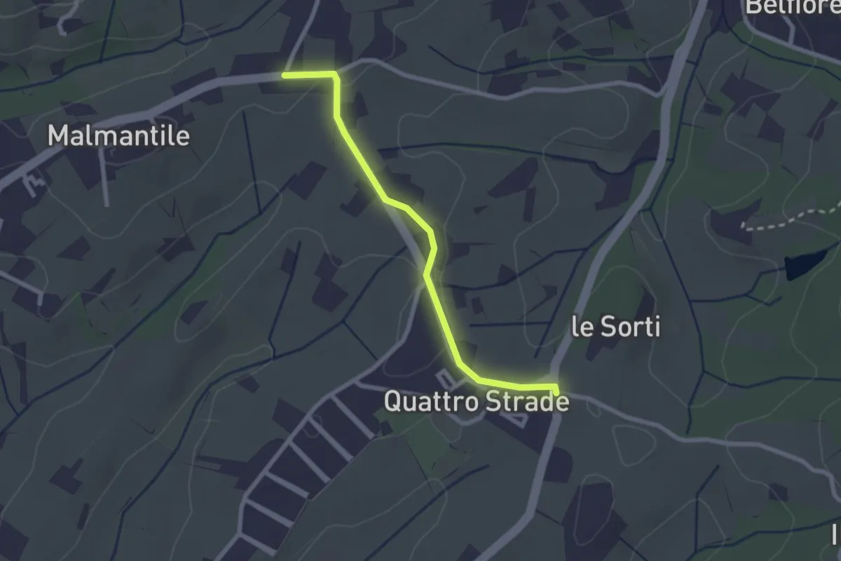
Easy · Trail
Innesto sentiero741, incrocio Via Vecchia Pisana con Via S. Salvadore – Innesto sentiero CAI 745, incrocio Via Maremmana con Via del Pollaiolo
2.4 km · ↑ 36 m · 38 min · 13 km away
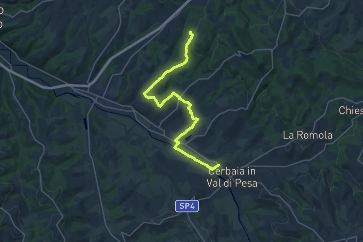
Demanding · Trail
Castellare – Roveta
18.2 km · ↑ 334 m · 5 h 1 min · 13 km away
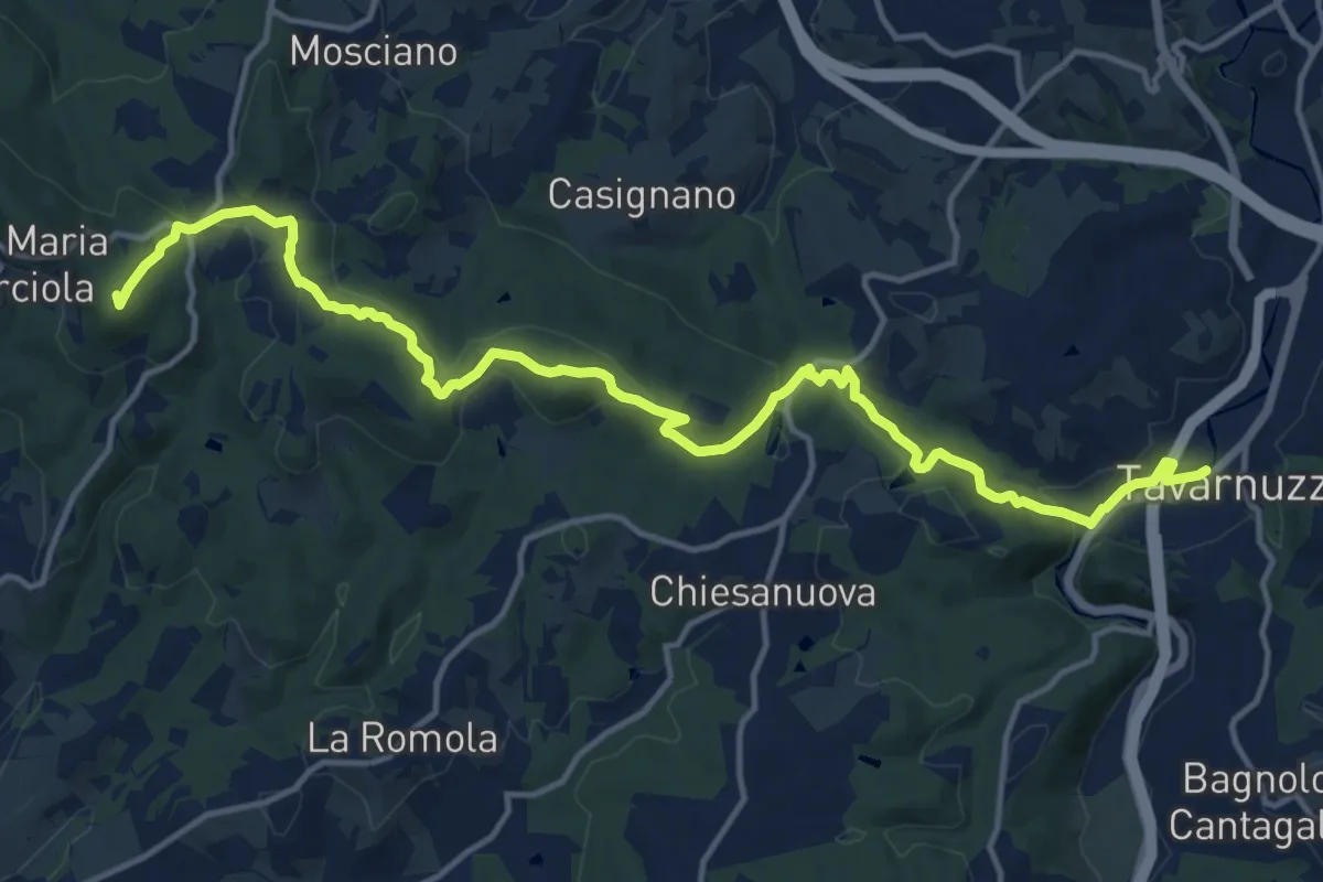
Medium · Summit
Lastra a Signa – Tavarnuzze
17.9 km · ↑ 527 m · 5 h 22 min · 14 km away
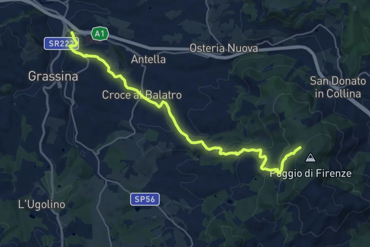
Demanding · Cabin
Ponte a Ema – Sorgente Fonte Santa
18.1 km · ↑ 559 m · 5 h 30 min · 14 km away
Easy · Summit
Anello di Lecceto
7.5 km · ↑ 199 m · 2 h 18 min · 14 km away
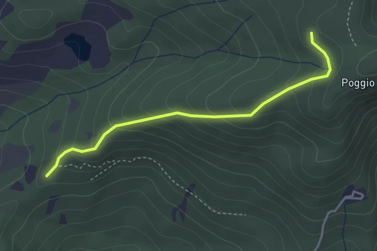
Easy · Trail
sentiero 00 (pressi Pratellino) – Sentiero 00
3.5 km · ↑ 255 m · 1 h 23 min · 14 km away
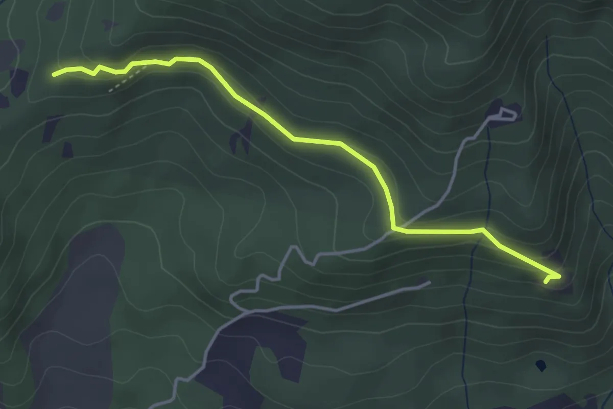
Easy · Trail
Madonna del Sasso – Sentiero 204, nei pressi di Pratellino
4.0 km · ↑ 119 m · 1 h 12 min · 14 km away
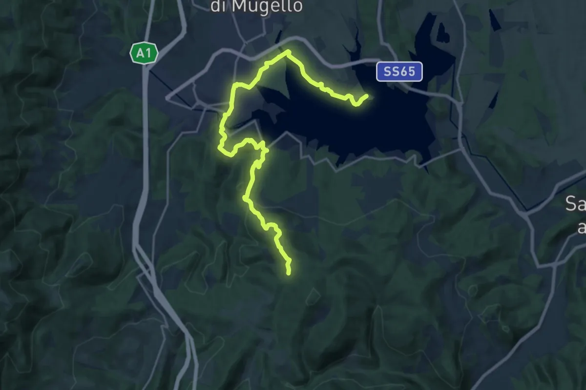
Demanding · Trail
Il Fangaccio – Chiesa di Cupo
19.7 km · ↑ 534 m · 5 h 49 min · 14 km away
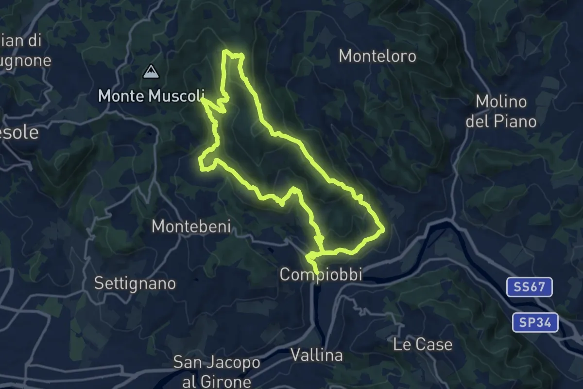
Medium · Trail
Compiobbi – Compiobbi
14.0 km · ↑ 611 m · 4 h 48 min · 14 km away
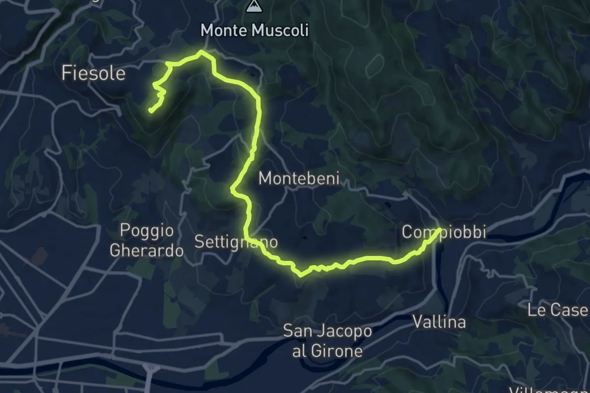
Demanding · Summit
Fiesole – Settignano Compiobbi
18.3 km · ↑ 586 m · 5 h 36 min · 14 km away
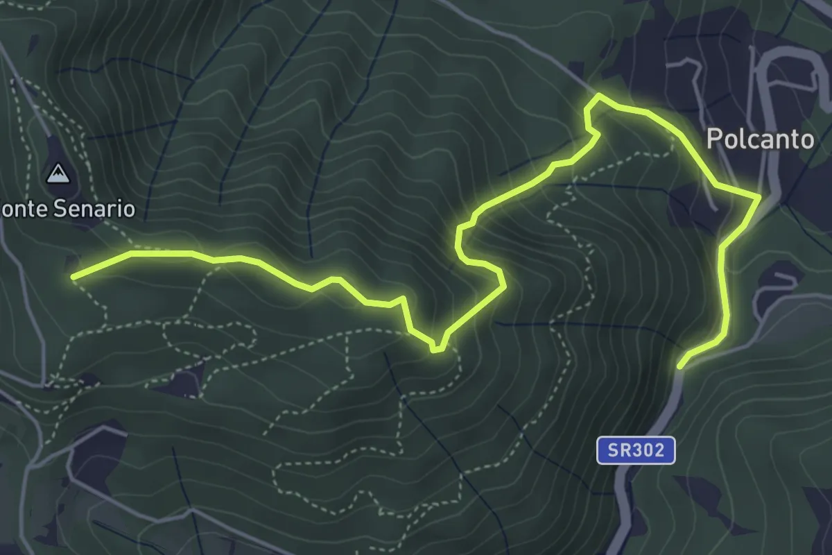
Medium · Trail
Polcanto – Monte Senario
6.5 km · ↑ 534 m · 2 h 41 min · 14 km away
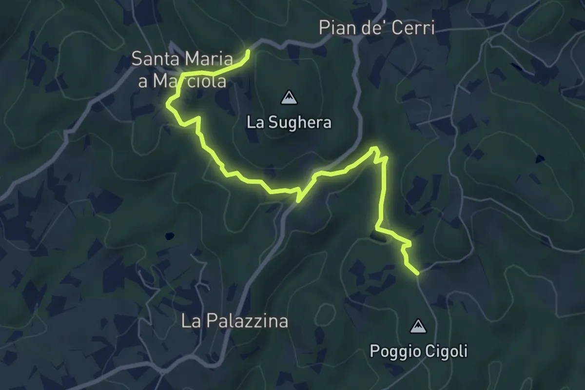
Easy · Trail
Le Calle – Le Croci
7.3 km · ↑ 237 m · 2 h 14 min · 14 km away
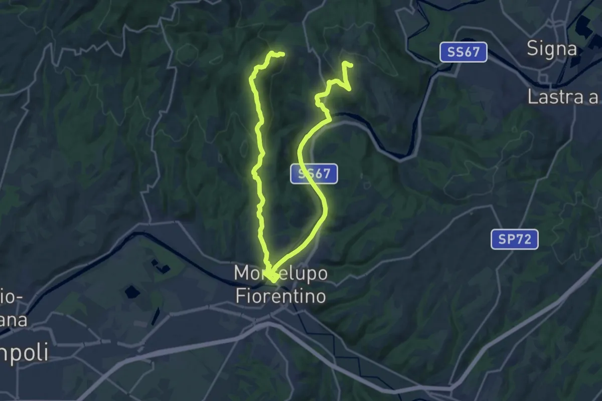
Demanding · Trail
Anello di Capraia e Montelupo
26.9 km · ↑ 586 m · 7 h 37 min · 14 km away
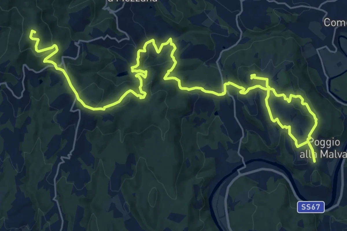
Demanding · Summit
Tappa 2: Artimino - Bacchereto
33.2 km · ↑ 1329 m · 10 h 43 min · 14 km away
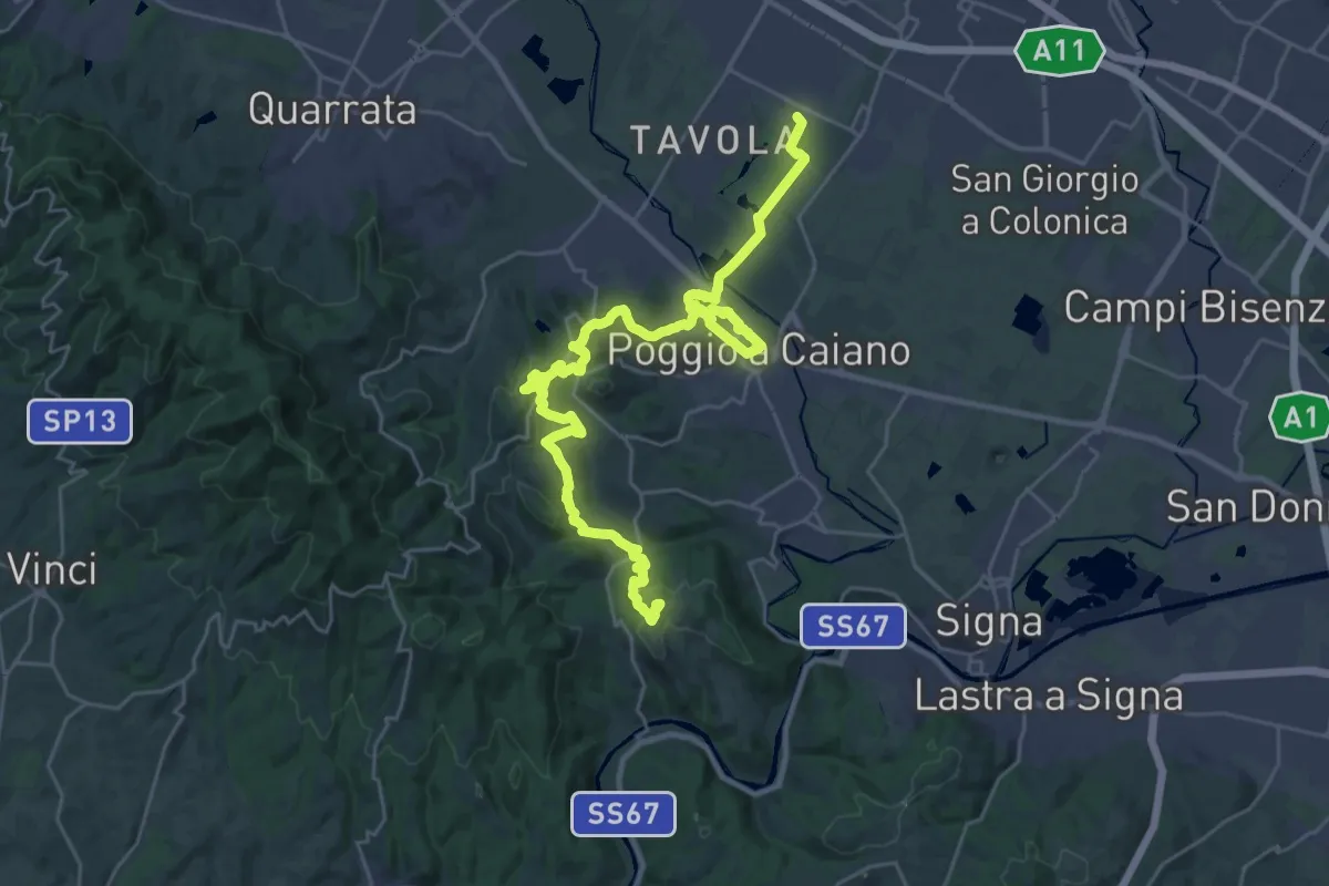
Medium · Trail
Tappa 1: Prato - Artimino
17.8 km · ↑ 389 m · 5 h 24 min · 14 km away
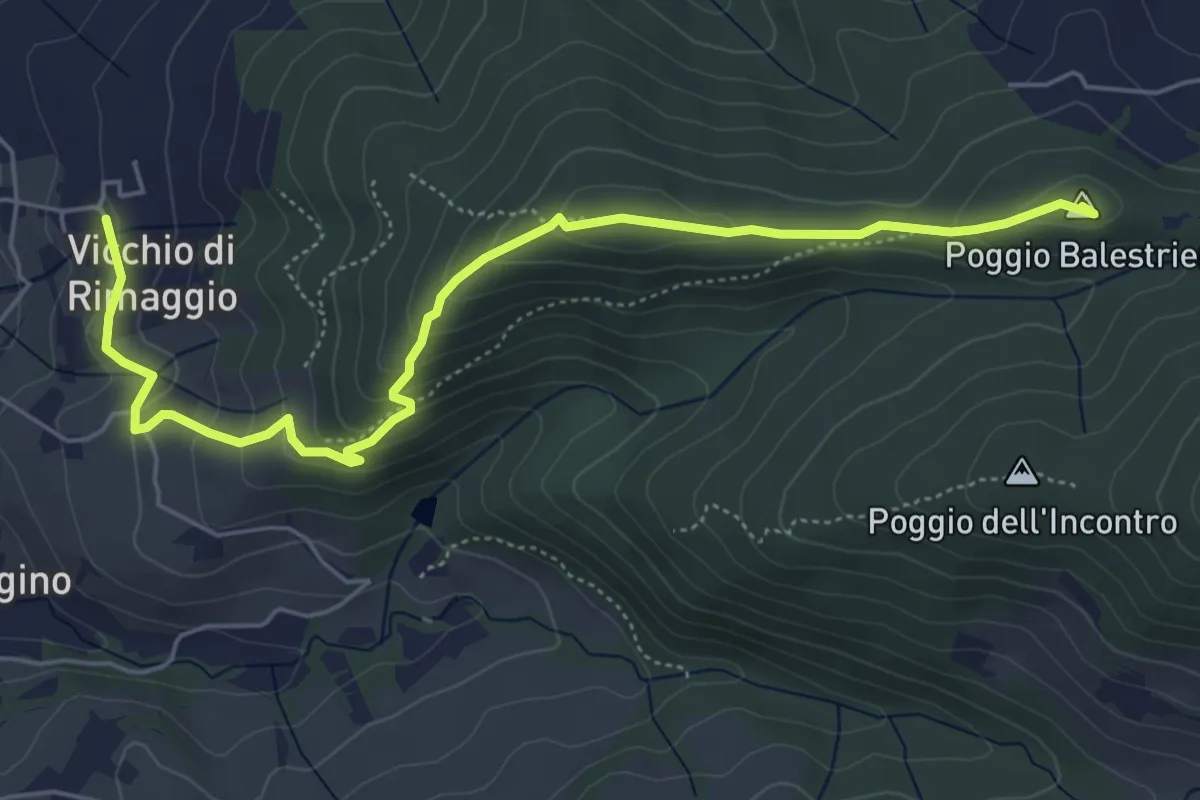
Easy · Summit
Vicchi Di Rimaggio – Poggio Incontro
6.5 km · ↑ 309 m · 2 h 12 min · 14 km away
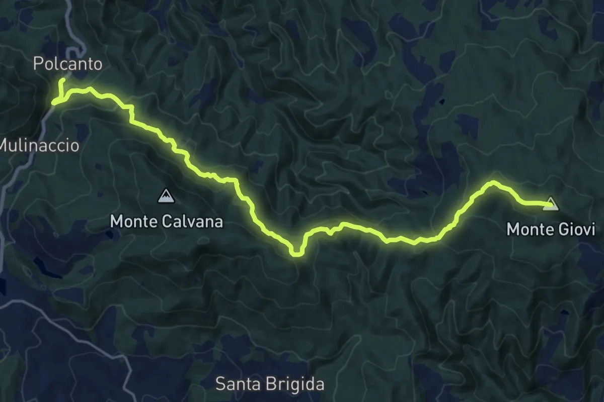
Demanding · Summit
Sorgenti di Firenze Trekking – Anello Principale: Tappa 7
21.2 km · ↑ 1002 m · 7 h 11 min · 14 km away
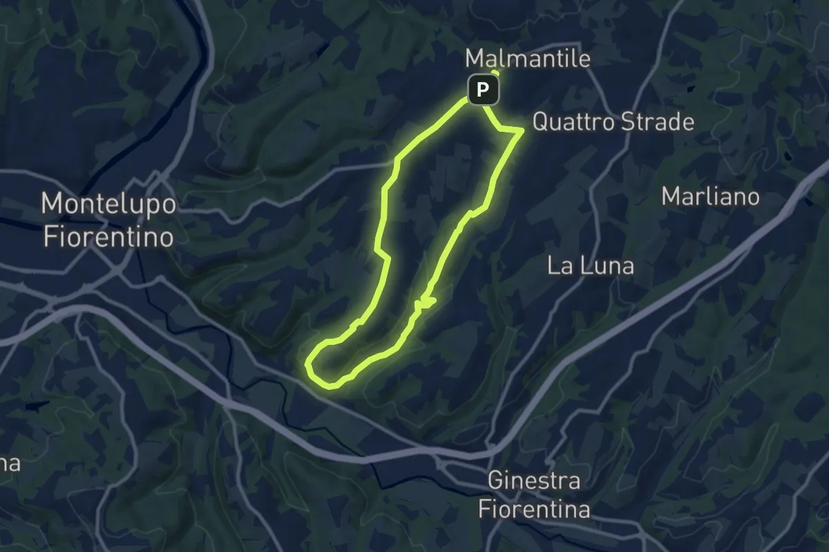
Medium · Trail
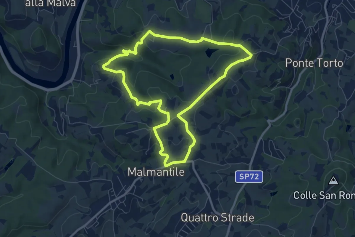
Malmantile – Malmantile
8.5 km · ↑ 145 m · 2 h 26 min · 14 km away
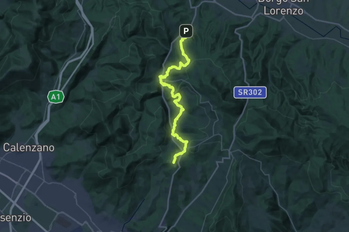
Demanding · Summit
Caldine – Campomigliaio
33.0 km · ↑ 1280 m · 10 h 34 min · 14 km away
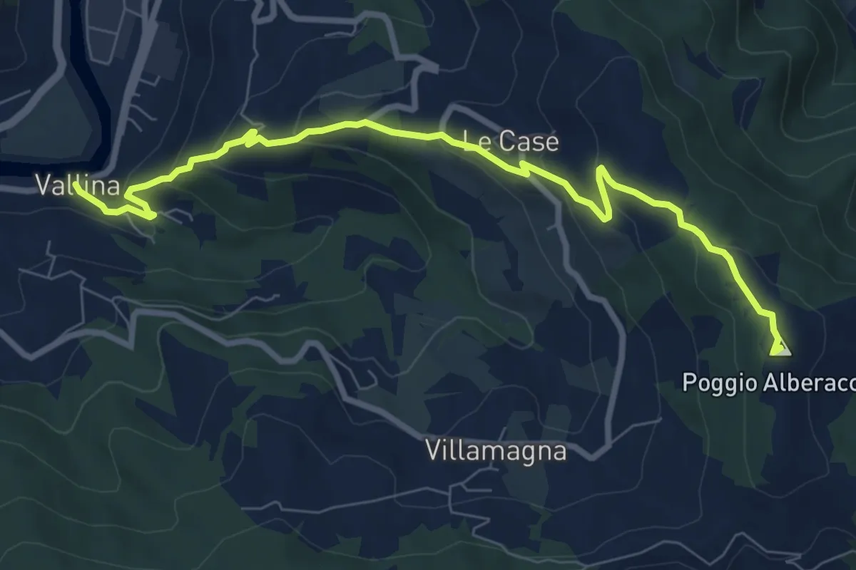
Medium · Summit
Sentiero 0–da Vallina a Poggio a Luco
8.9 km · ↑ 442 m · 3 h 4 min · 15 km away
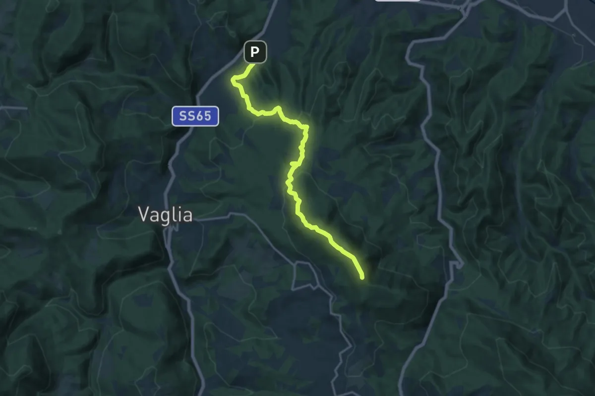
Medium · Summit
Campomigliaio – Vetta le Croci
15.0 km · ↑ 649 m · 4 h 57 min · 15 km away
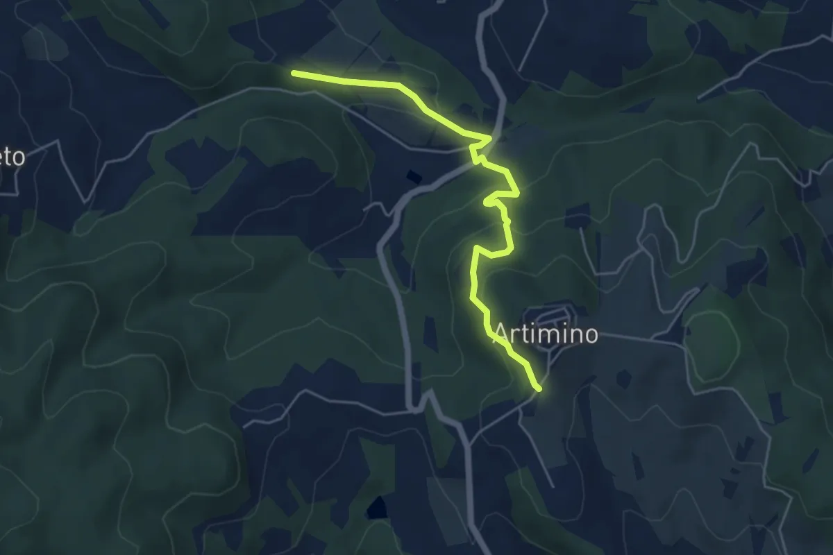
Easy · Trail
Podere Campisalti – Artimino
5.1 km · ↑ 232 m · 1 h 42 min · 15 km away
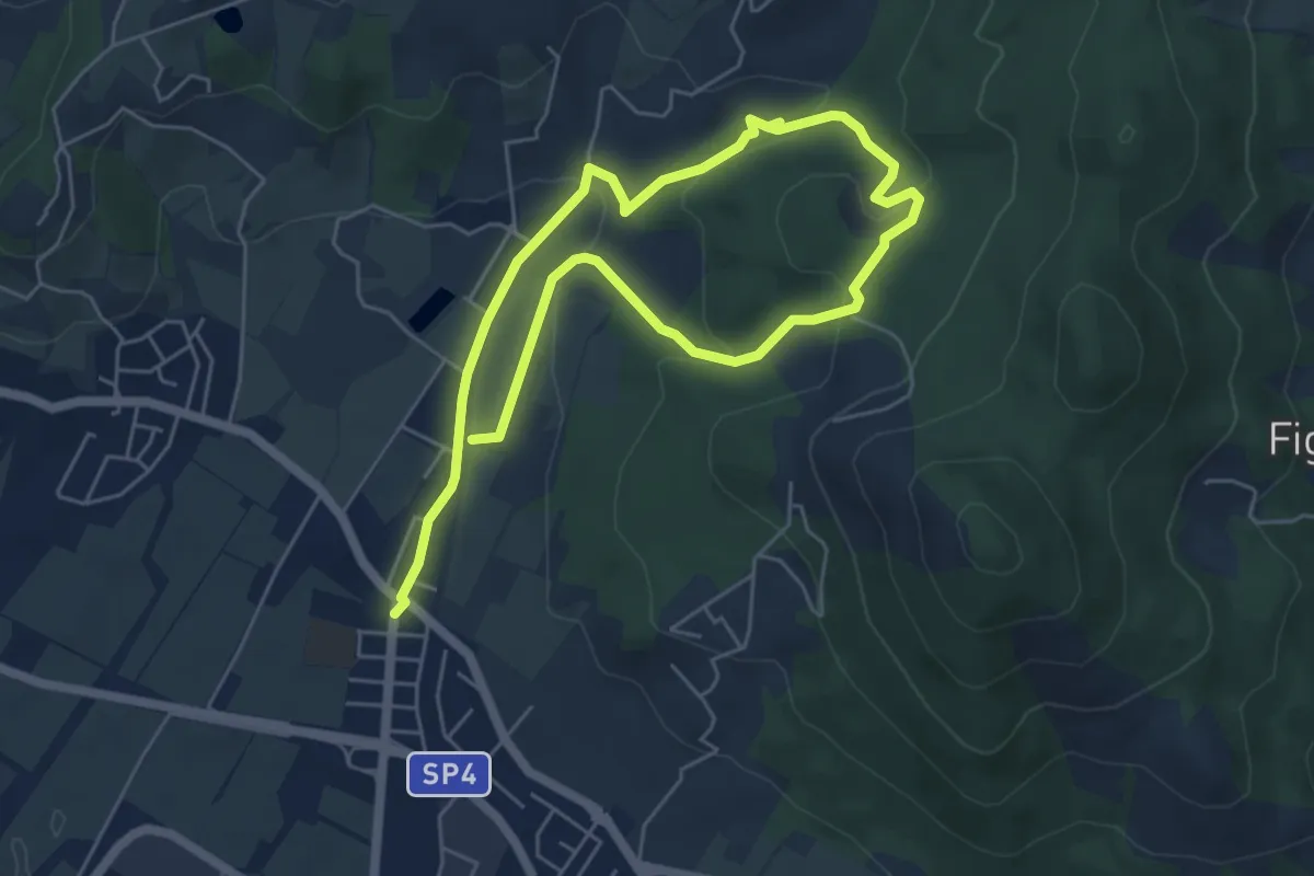
Easy · Trail
Cammino dell'Acqua - Torrente Bagnolo
4.6 km · ↑ 151 m · 1 h 29 min · 15 km away