Trails near Sestri Levante
159 hikes starting within 15 km, nearest first.
Nearest first, page 3 of 4
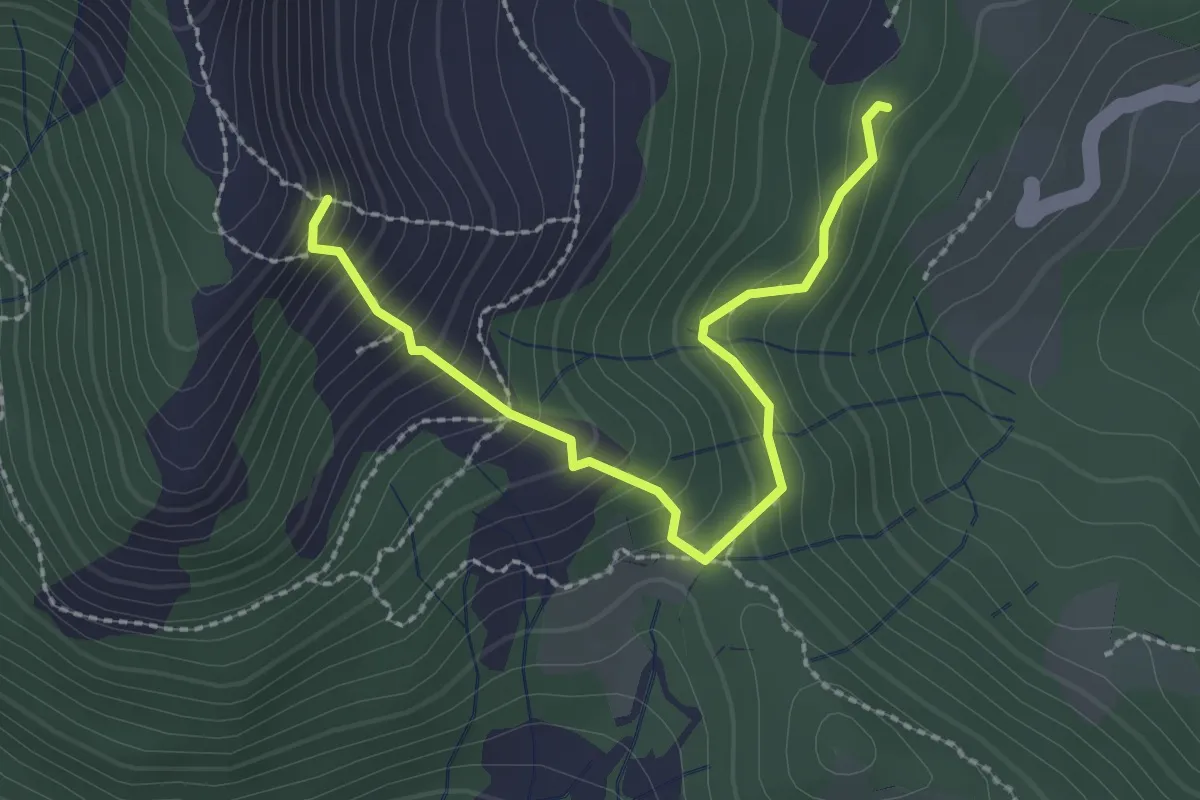
Medium · Trail
Giandriale - Passo Colello - Monte Alpe
2.6 km · ↑ 250 m · 1 h 9 min · 11 km away
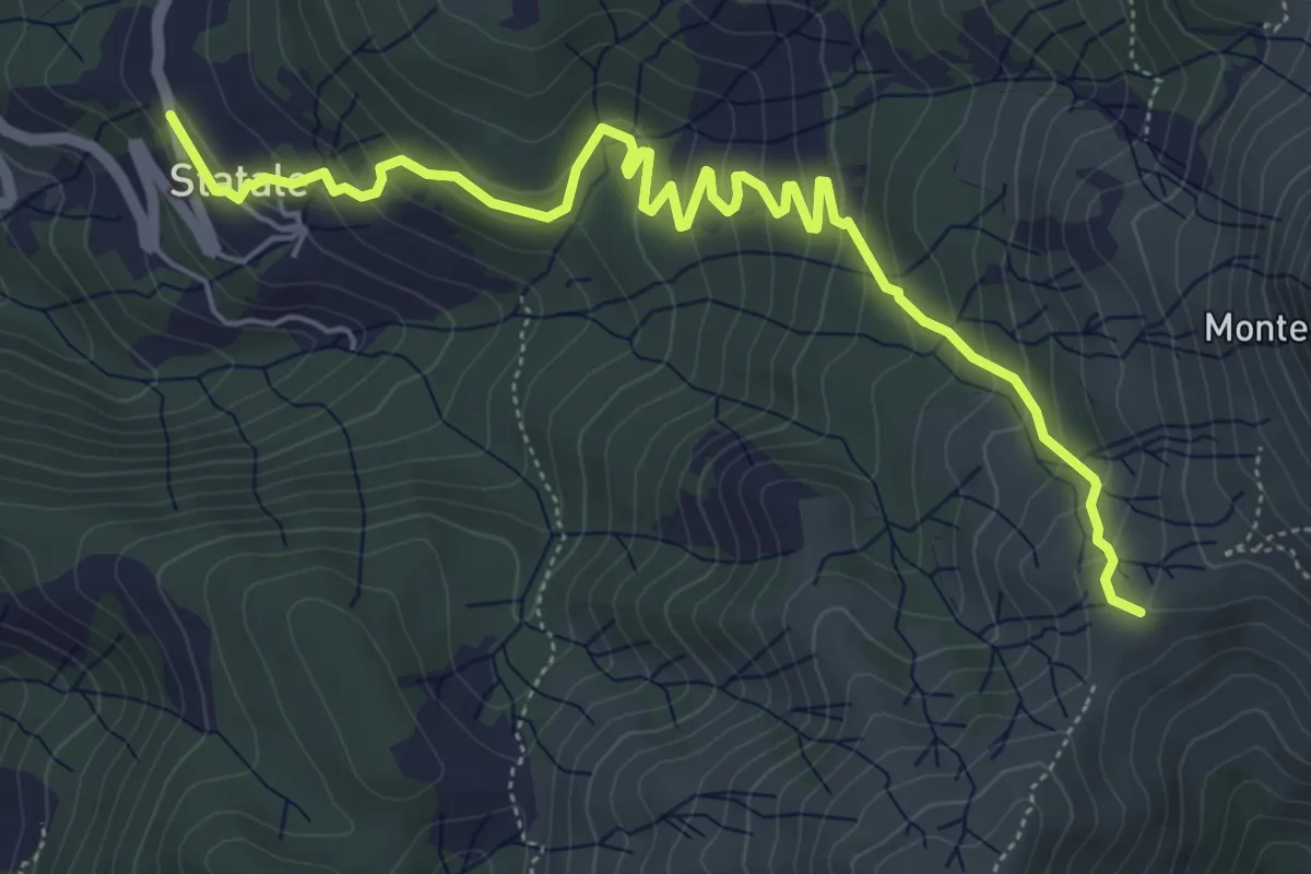
Medium · Trail
Statale - Coletta - Passo Broccheie
6.9 km · ↑ 401 m · 2 h 29 min · 11 km away
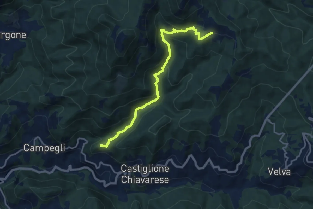
Medium · Summit
Casali - Prato
9.4 km · ↑ 502 m · 3 h 18 min · 11 km away
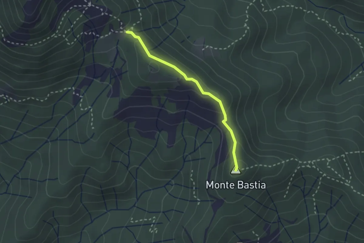
Medium · Summit
Monte Bastia - Monte Colello
2.2 km · ↑ 105 m · 45 min · 11 km away
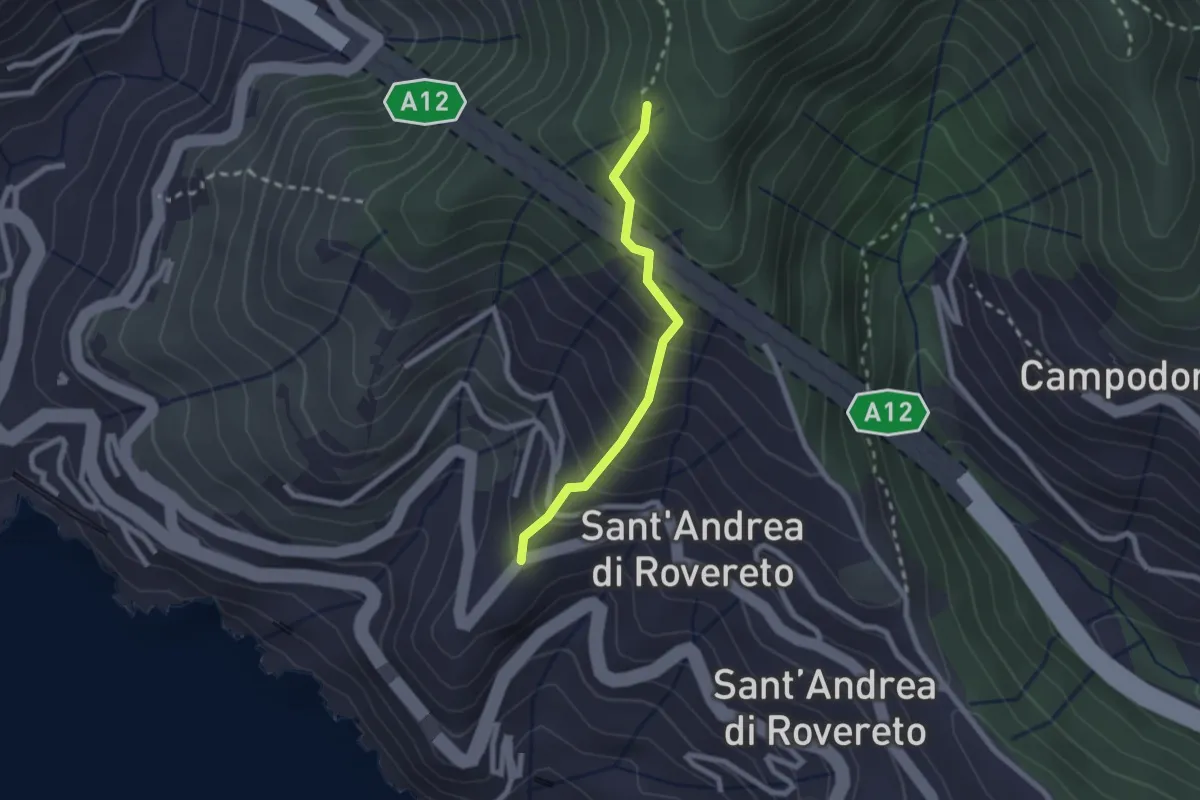
Easy · Trail
San Pietro - Madonnetta
2.0 km · ↑ 275 m · 1 h 5 min · 12 km away
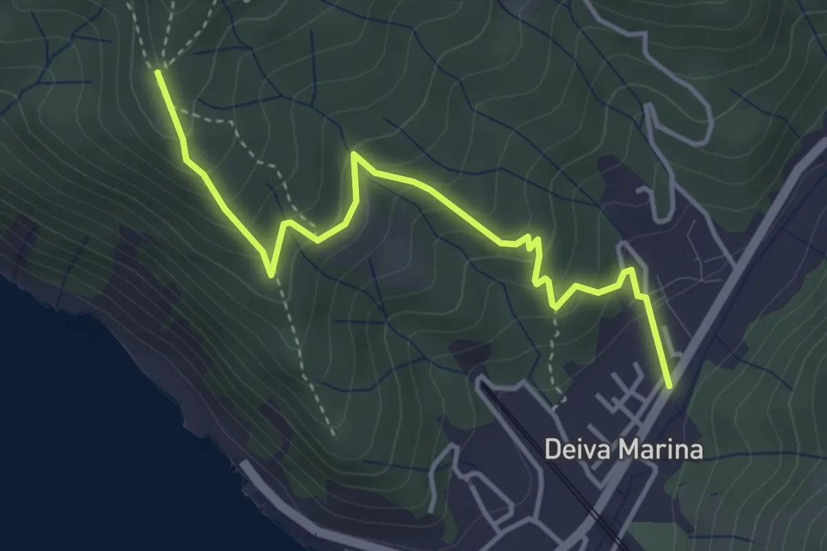
Medium · Trail
San Pantaleo - Deiva Marina
4.1 km · ↑ 359 m · 1 h 44 min · 12 km away
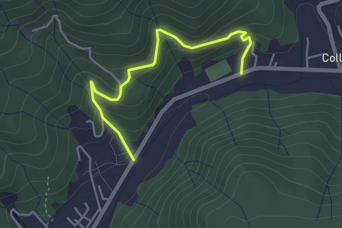
Easy · Trail
Anello delle Sughere
3.3 km · ↑ 271 m · 1 h 22 min · 12 km away
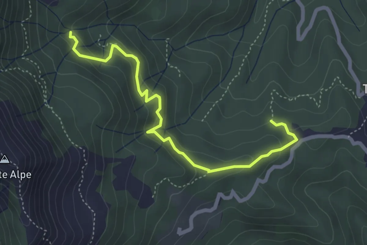
Medium · Trail
Case Borsare - Pian di Cappella
4.8 km · ↑ 291 m · 1 h 45 min · 12 km away
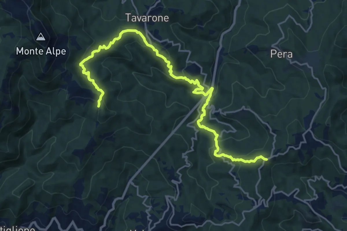
Medium · Trail
Casa del Monte - Chiama - Torza - Tavarone - Giandriale - Passo Monte Bastia
17.2 km · ↑ 775 m · 5 h 45 min · 12 km away
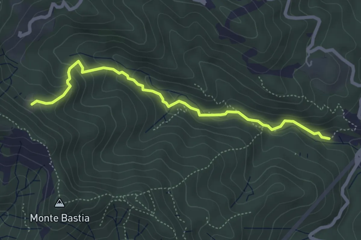
Medium · Trail
La Torre - Caprili - Prato Busino
5.1 km · ↑ 292 m · 1 h 50 min · 12 km away
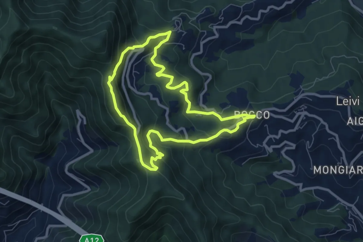
Medium · Summit
Anello di Villa Oneto e del Bocco di Leivi
6.6 km · ↑ 380 m · 2 h 29 min · 12 km away
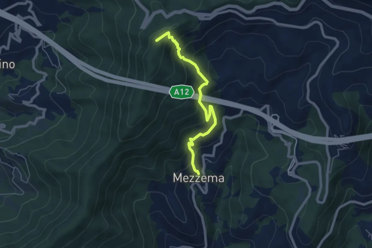
Medium · Summit
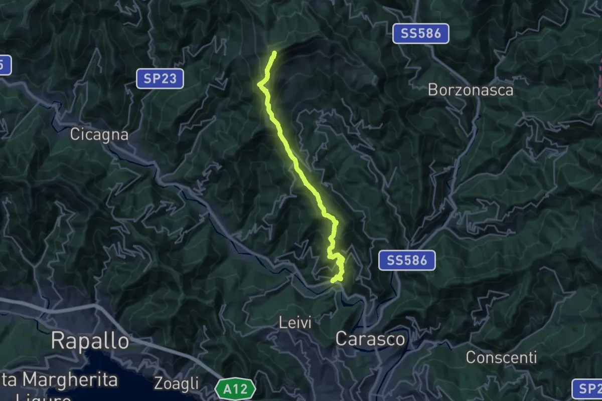
Mezzema – Casa Rollina – Monte Salto del Cavallo
4.9 km · ↑ 518 m · 2 h 16 min · 12 km away
Demanding · Summit
San Colombano Certenoli – Monte Ramaceto
20.2 km · ↑ 1526 m · 8 h 4 min · 12 km away
Medium · Trail
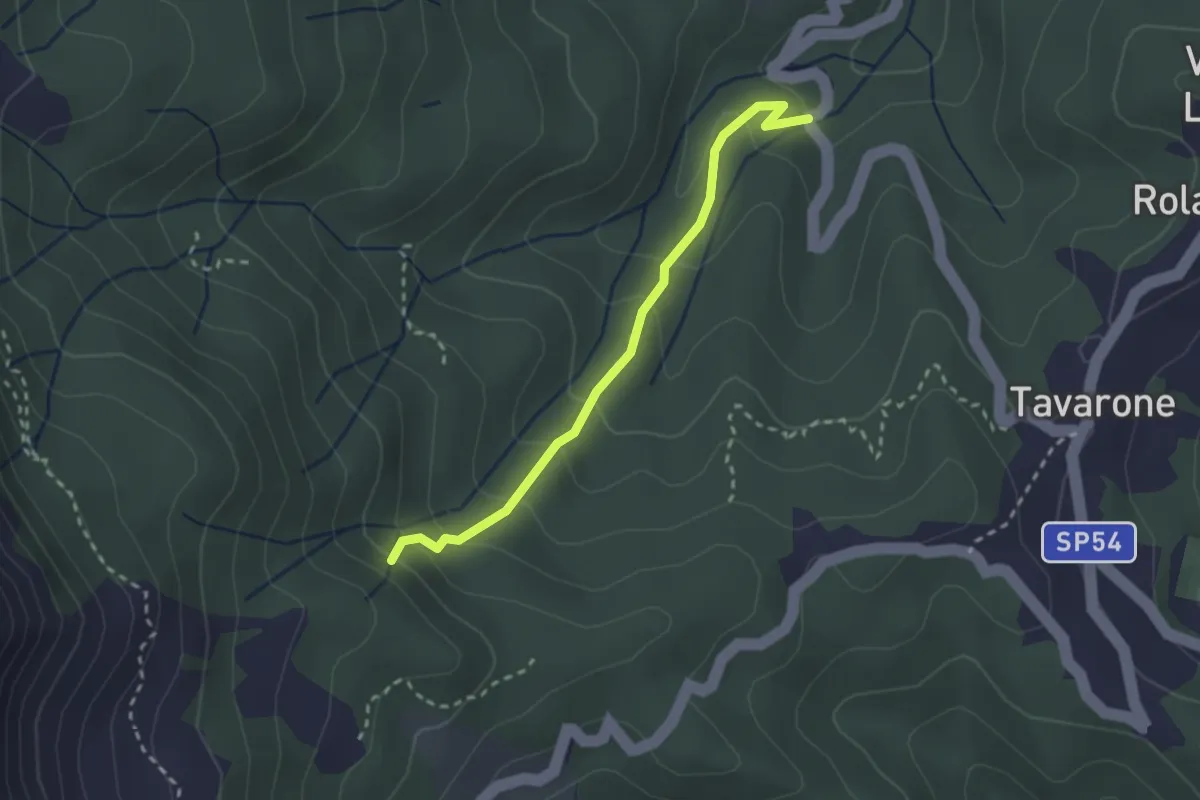
Torrente Orbora - Casa Alpe
2.6 km · ↑ 181 m · 1 h · 12 km away
Demanding · Summit
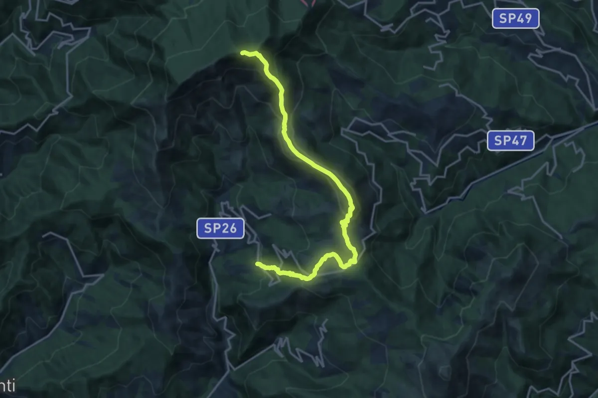
Arzeno - Monte Chiappozzo - Monte Zatta
15.9 km · ↑ 1004 m · 5 h 56 min · 12 km away
Medium · Trail
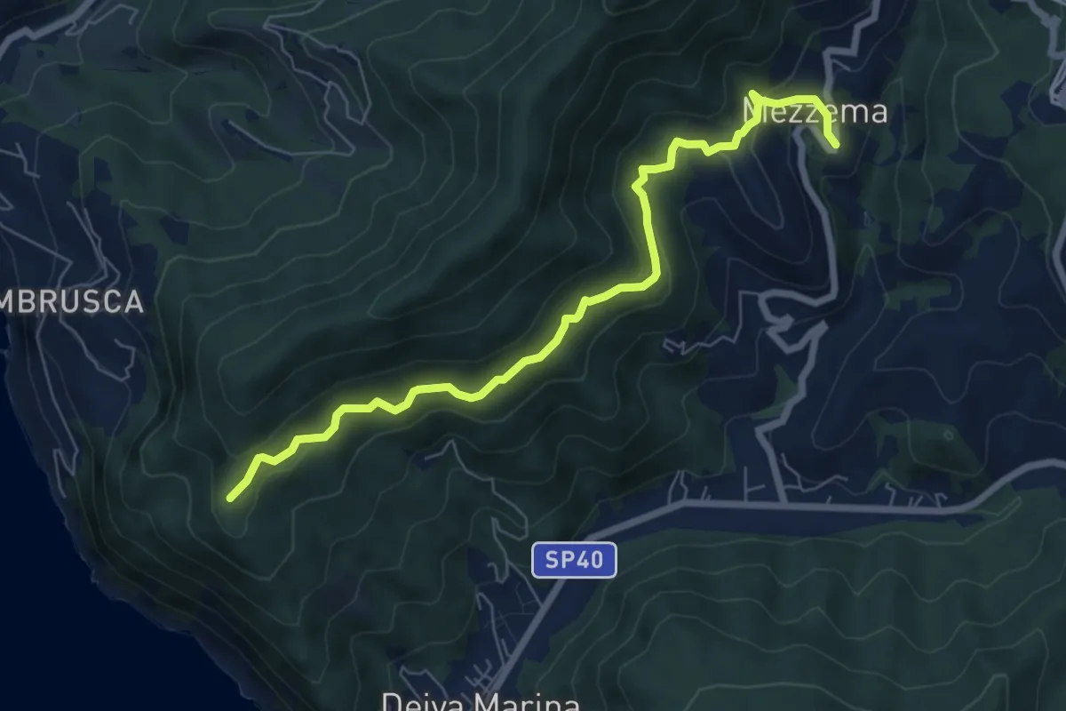
San Pantaleo - Mezzema
7.3 km · ↑ 447 m · 2 h 42 min · 12 km away
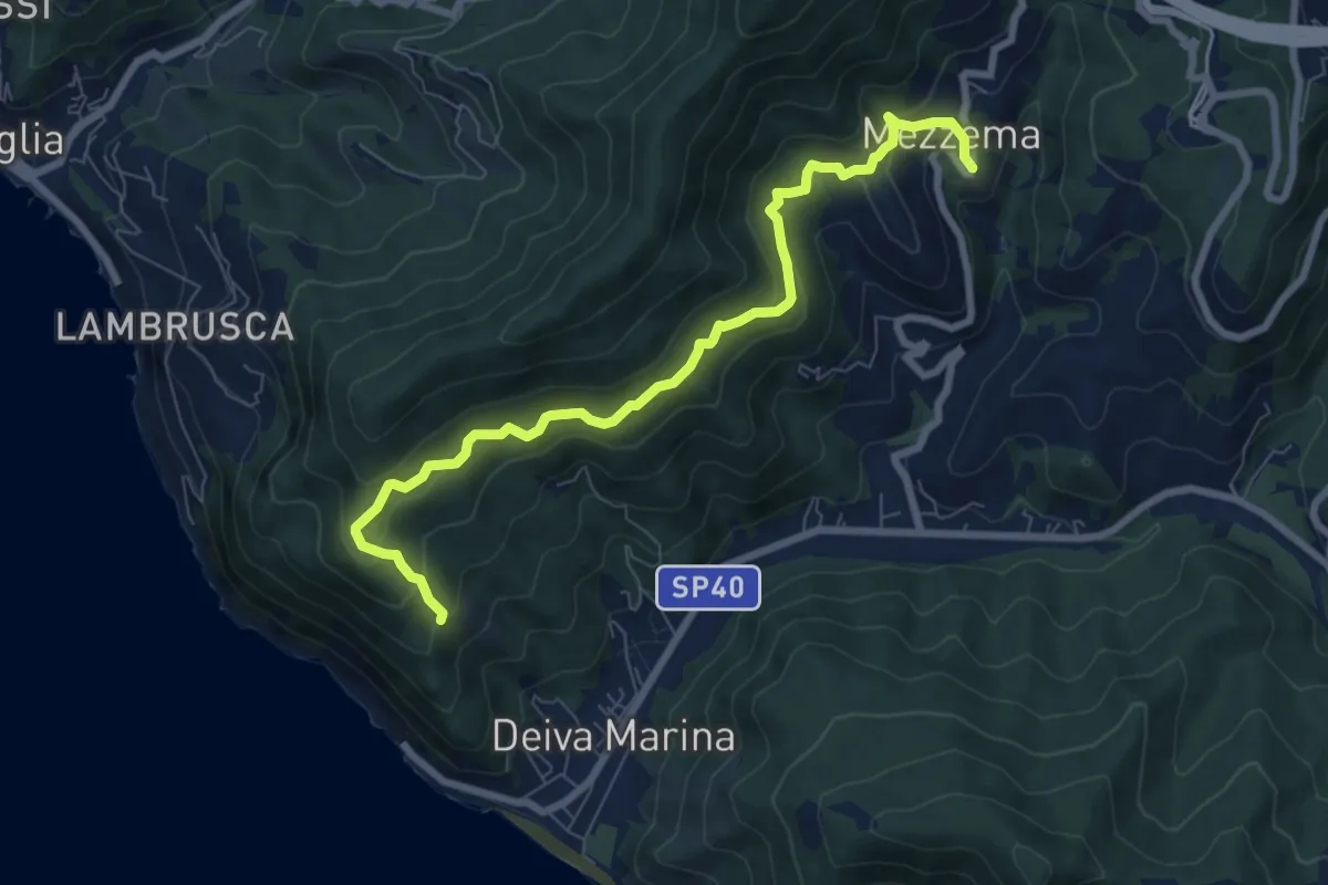
Medium · Trail
Sella Crocetta (Bivio SVA) - Bosco Bianchi - Mezzema
8.4 km · ↑ 557 m · 3 h 12 min · 12 km away
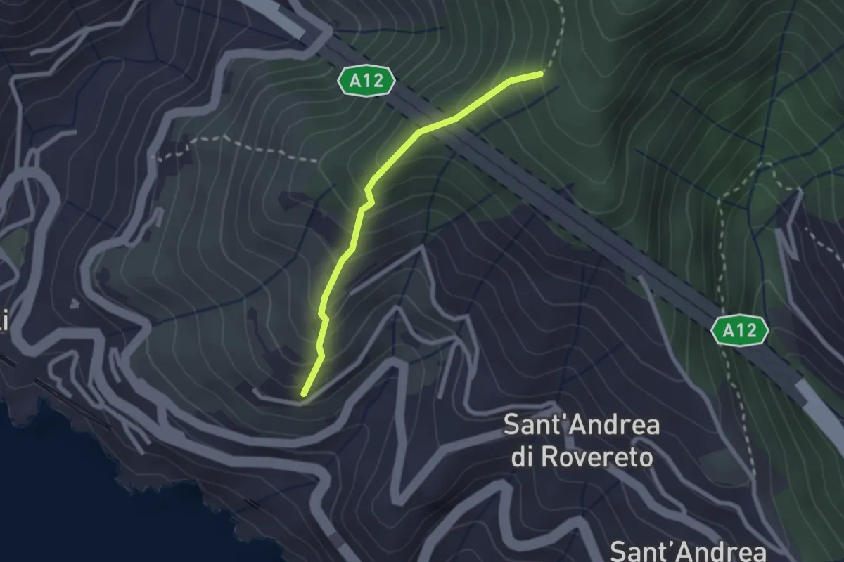
Easy · Trail
Via dei Tessitori - Via al Santuario della Madonnetta - Madonnetta
2.0 km · ↑ 258 m · 1 h 2 min · 12 km away
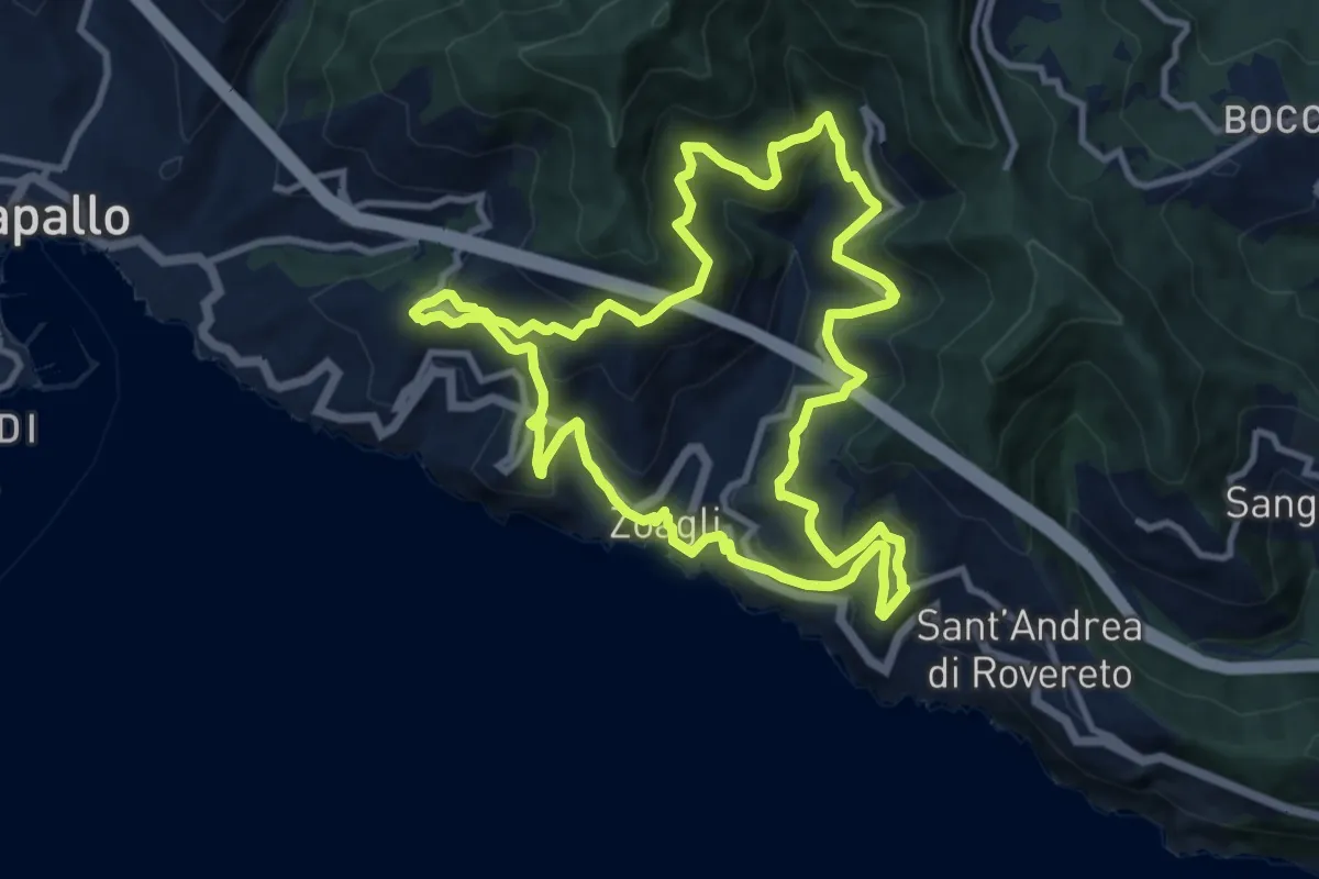
Medium · Trail
Giro dei cinque Campanili
11.0 km · ↑ 656 m · 4 h 10 min · 12 km away
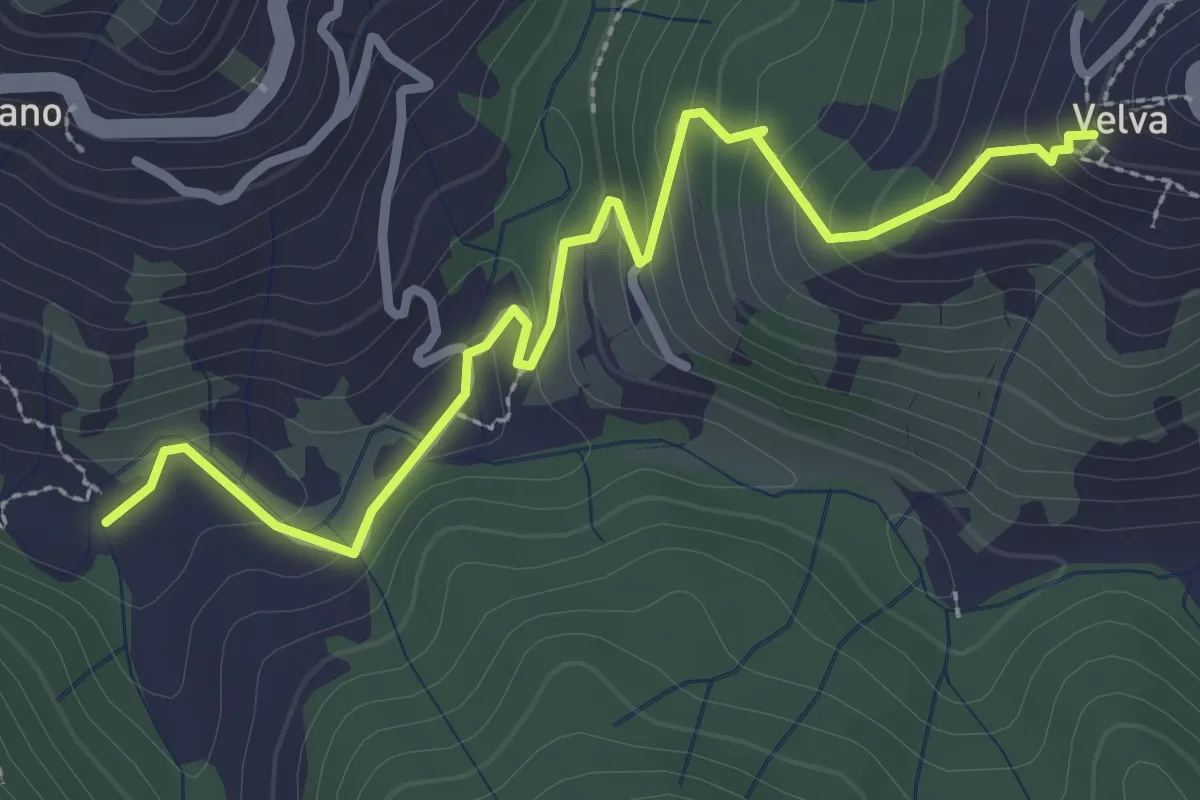
Medium · Trail
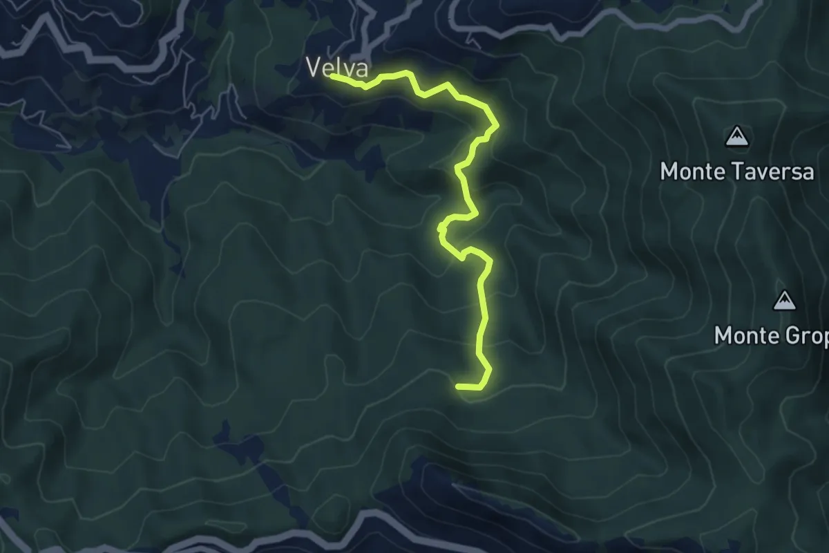
Cottarzo - Velva
3.3 km · ↑ 189 m · 1 h 12 min · 12 km away
Medium · Trail
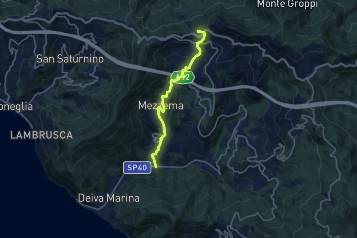
Velva - Rifugio dell’Orbo - Piani di Vasca
5.7 km · ↑ 382 m · 2 h 10 min · 12 km away
Medium · Summit
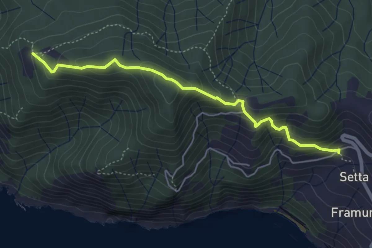
Arenella – Vaccarezzo – Mezzema – Casa Gabriello – Baracchino
9.9 km · ↑ 698 m · 3 h 51 min · 12 km away
Medium · Trail
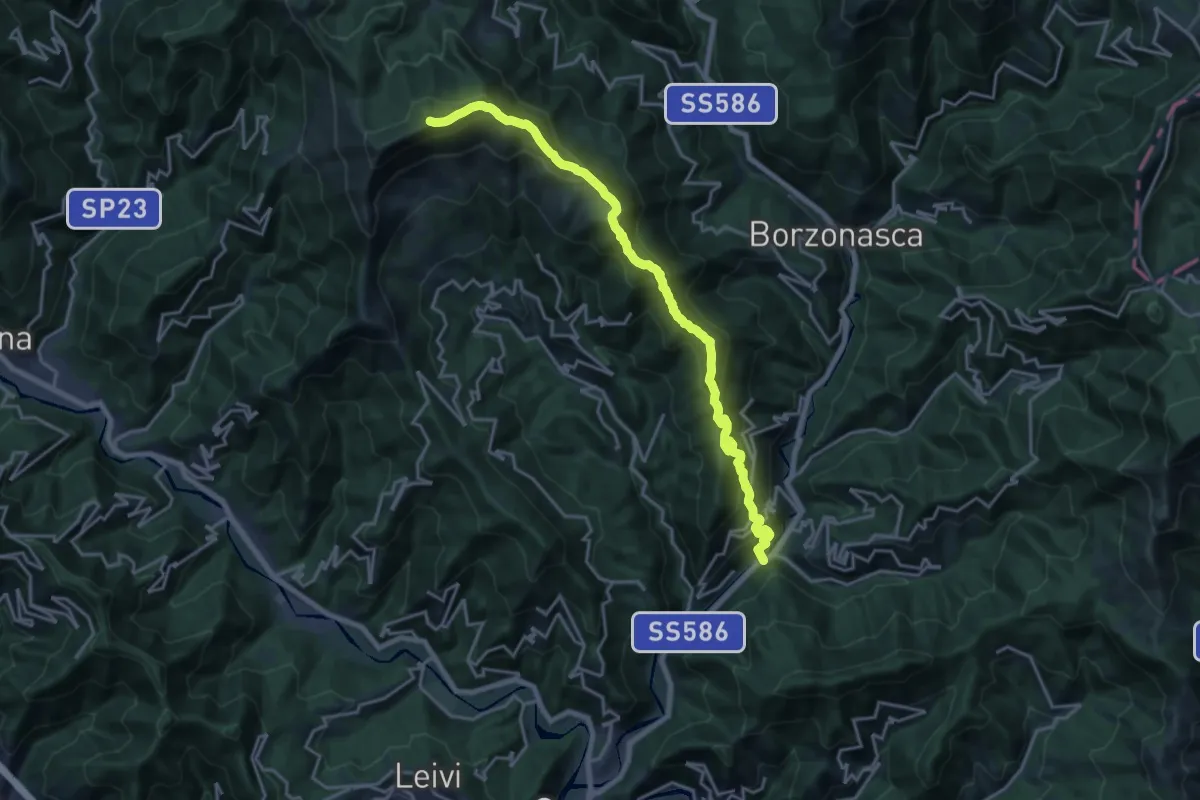
Framura (Setta) - Ressa - Foce del Prato - Monte Serra - Case Serra
4.6 km · ↑ 359 m · 1 h 52 min · 12 km away
Demanding · Summit
Prati di Mezzanego – Monte Ramaceto
20.3 km · ↑ 1471 m · 7 h 58 min · 12 km away
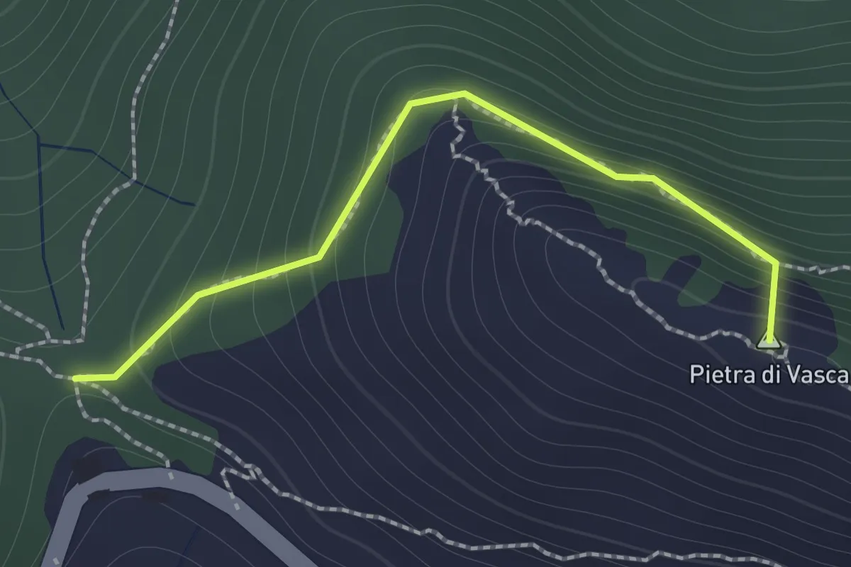
Demanding · Summit
Baracchino – Sella Pietra di Vasca via cresta
1.5 km · ↑ 164 m · 42 min · 12 km away
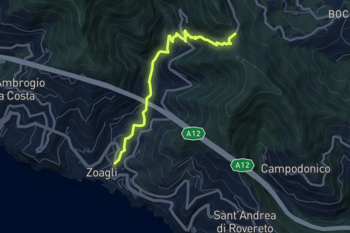
Medium · Trail
Via dei Mulini - Semorile - Passo dell'Anchetta
6.3 km · ↑ 529 m · 2 h 38 min · 12 km away
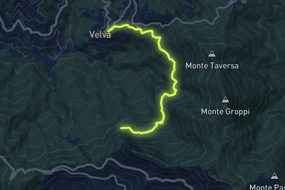
Medium · Trail
Velva - costa ovest Monte Pietra di Vasca
7.7 km · ↑ 409 m · 2 h 43 min · 13 km away
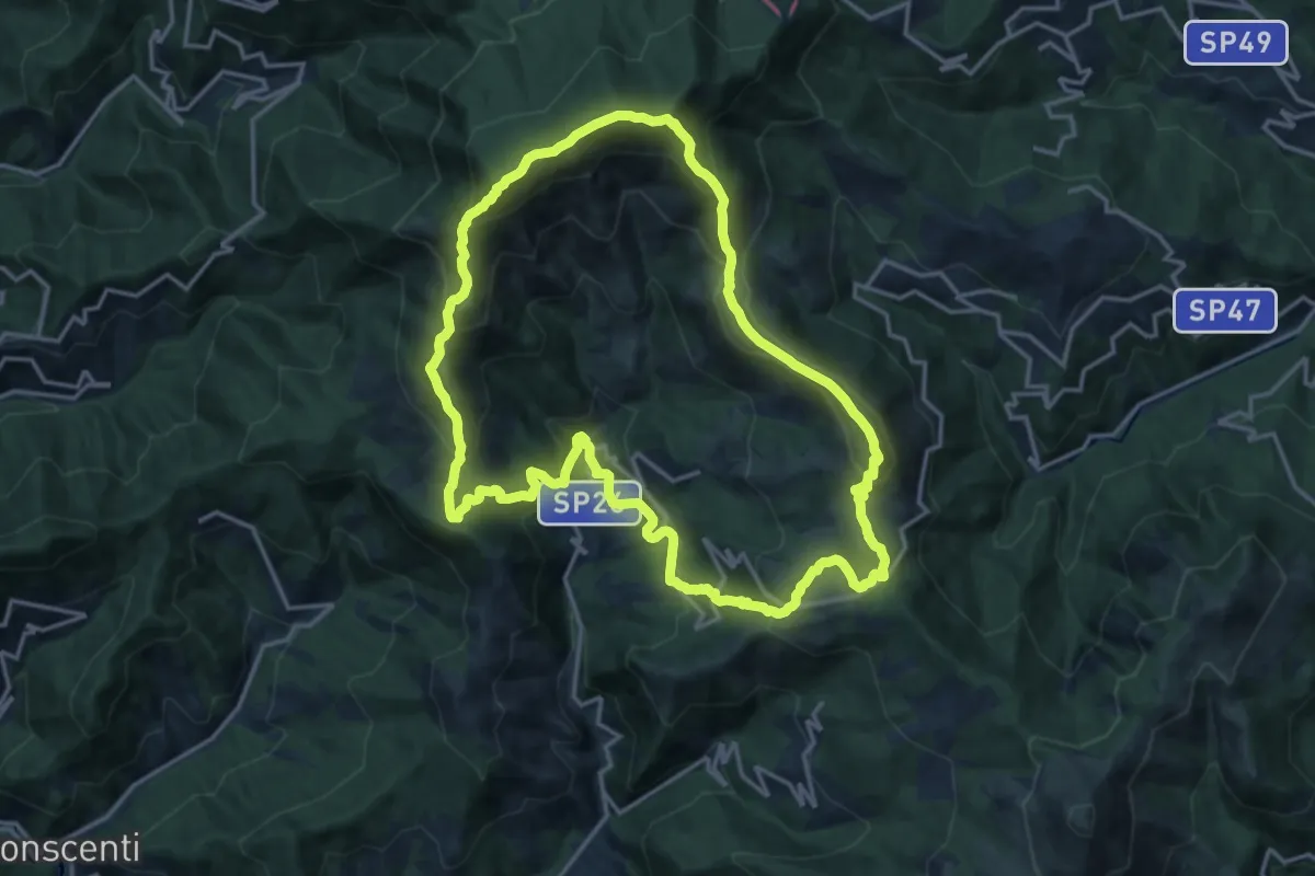
Demanding · Summit
Anello del Monte Zatta
16.7 km · ↑ 1047 m · 6 h 26 min · 13 km away
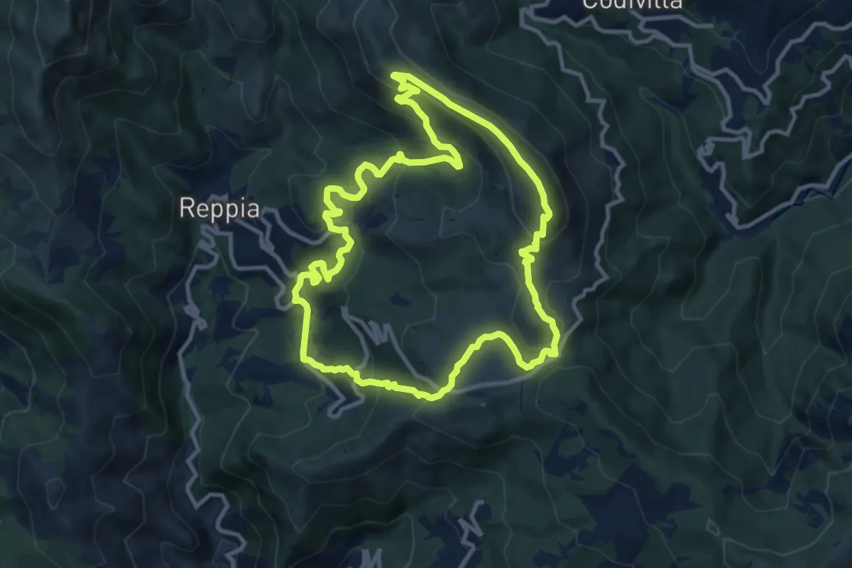
Demanding · Summit
Sentiero Carsologico
10.4 km · ↑ 548 m · 3 h 47 min · 13 km away
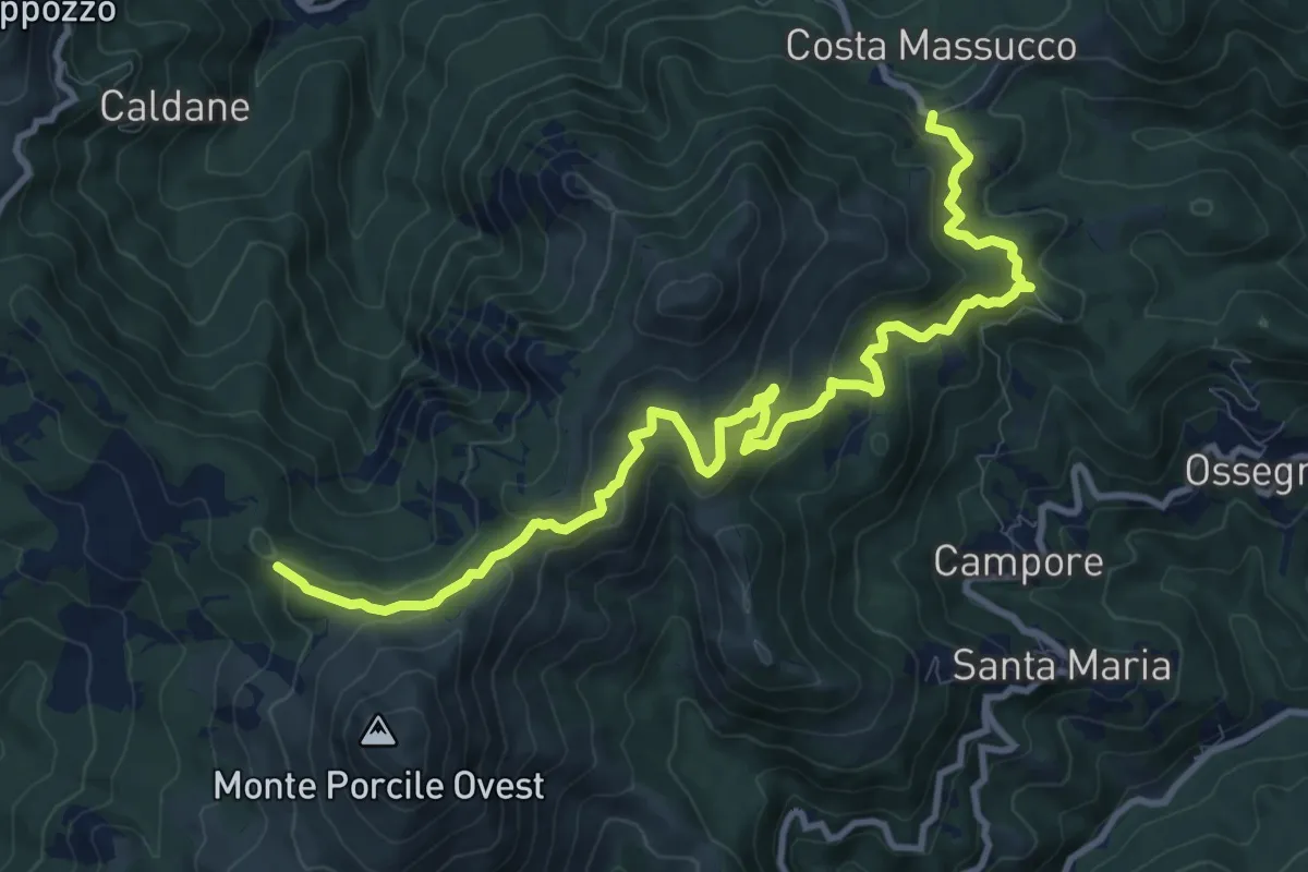
Medium · Trail
Colli di Valletti - Fontana Sacrata - Sella Monte Porcile - Bivio AV5T
12.6 km · ↑ 671 m · 4 h 25 min · 13 km away
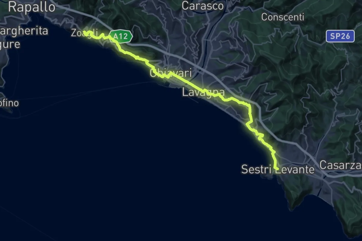
Medium · Trail
Sentiero Liguria - Tappa 8
16.9 km · ↑ 691 m · 5 h 45 min · 13 km away
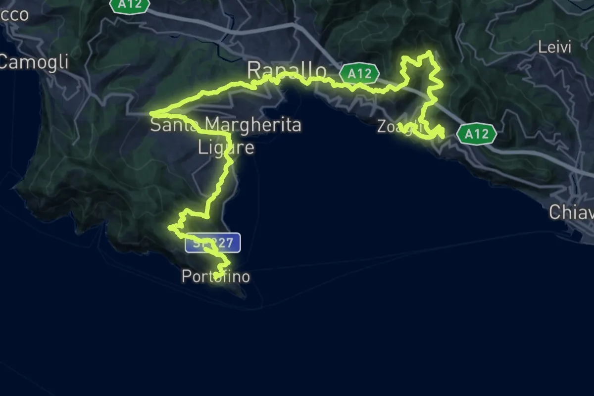
Demanding · Trail
Sentiero Liguria - Tappa 9
24.4 km · ↑ 1405 m · 9 h 8 min · 13 km away
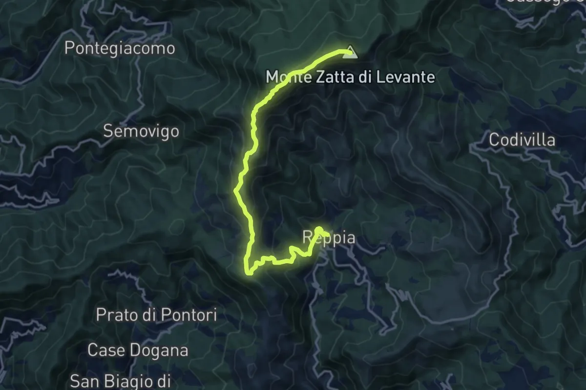
Demanding · Summit
Reppia - Monte Zatta
14.0 km · ↑ 985 m · 5 h 26 min · 13 km away
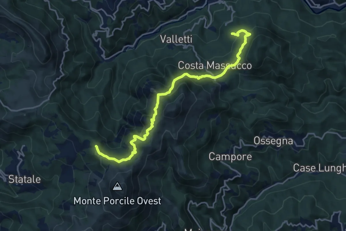
Medium · Trail
Case Colea - Colli di Valletti – Sella delle Matite - Rocche di Valletti - Bivio AV5T
13.9 km · ↑ 667 m · 4 h 44 min · 13 km away
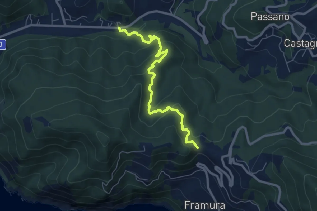
Easy · Trail
Costa – C.se Vigo – Ghiaia
6.0 km · ↑ 305 m · 2 h 5 min · 13 km away
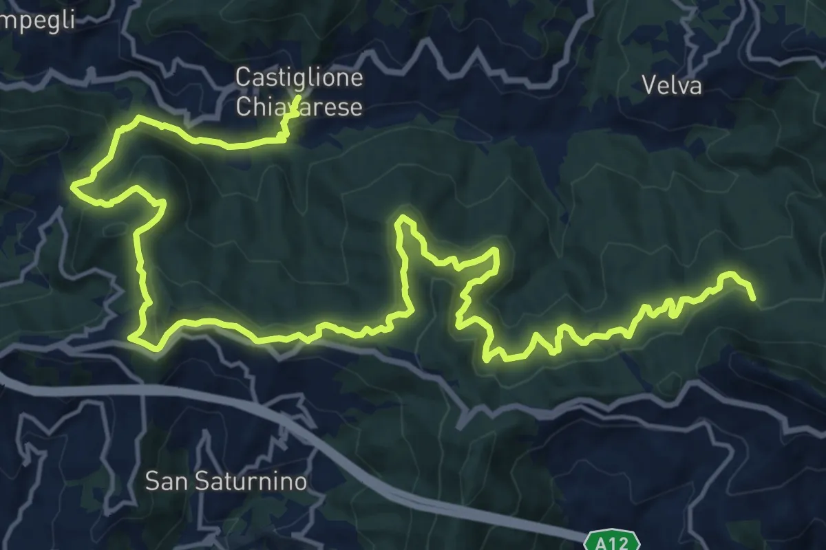
Medium · Trail
Castiglione Chiavarese - Costa ovest Monte Pietra di Vasca
12.6 km · ↑ 484 m · 4 h 19 min · 13 km away
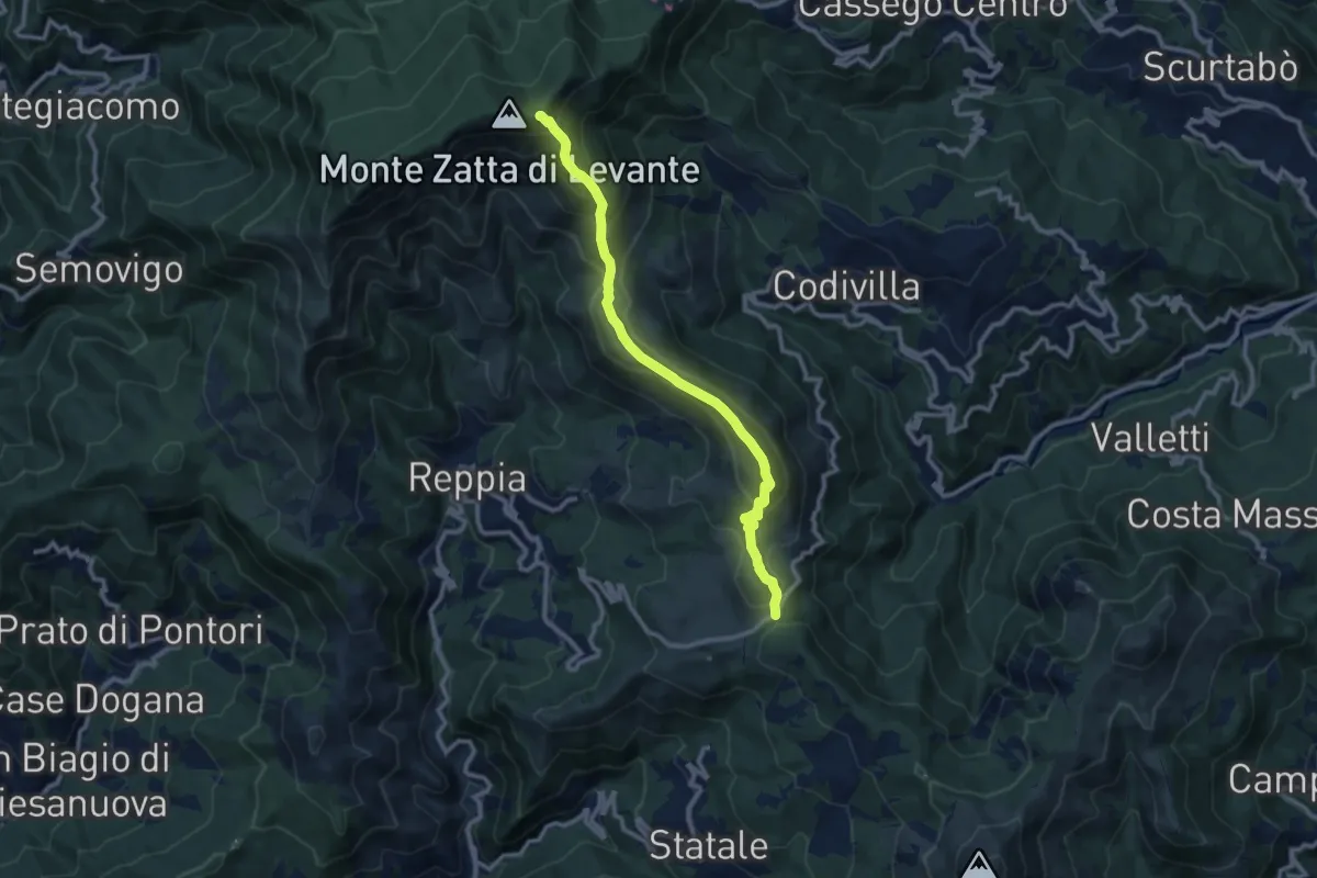
Demanding · Summit
Alta Via delle 5 Terre: Passo del Biscia - Monte Prato Pinello
10.4 km · ↑ 660 m · 3 h 54 min · 13 km away
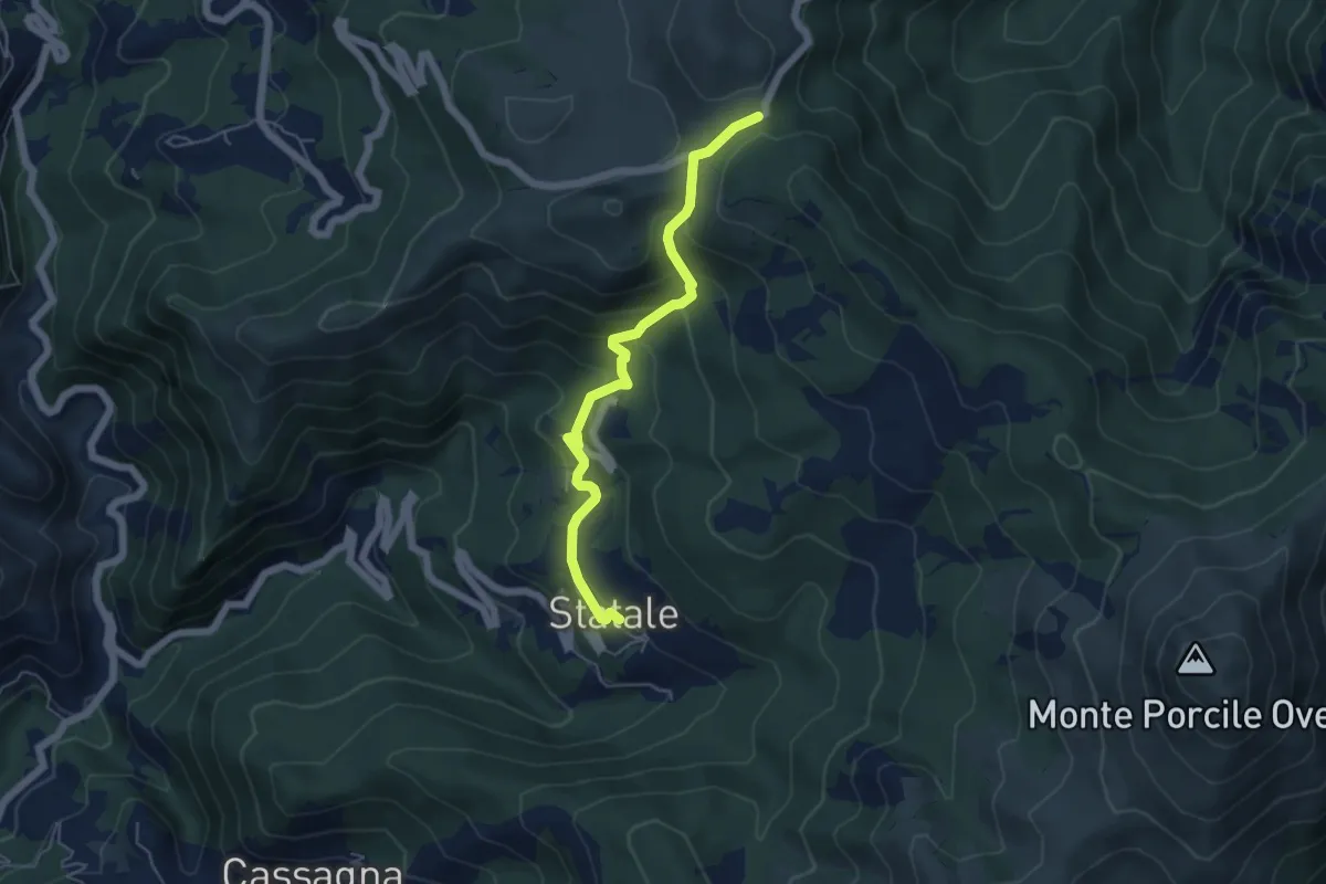
Medium · Trail
Sentiero dei Celti e dei Liguri - variante semplice tappa 9
5.5 km · ↑ 345 m · 2 h 2 min · 13 km away
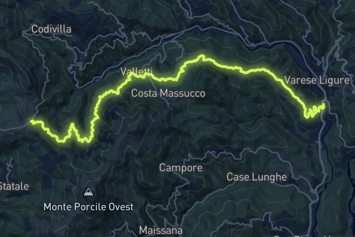
Medium · Trail
Casa Meghini – Case Colea – Valletti – La Cerretta – Passo del Biscia
14.5 km · ↑ 470 m · 4 h 55 min · 13 km away
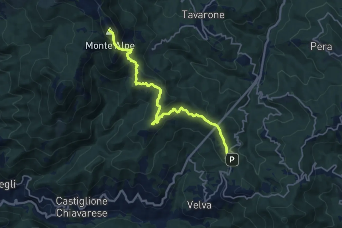
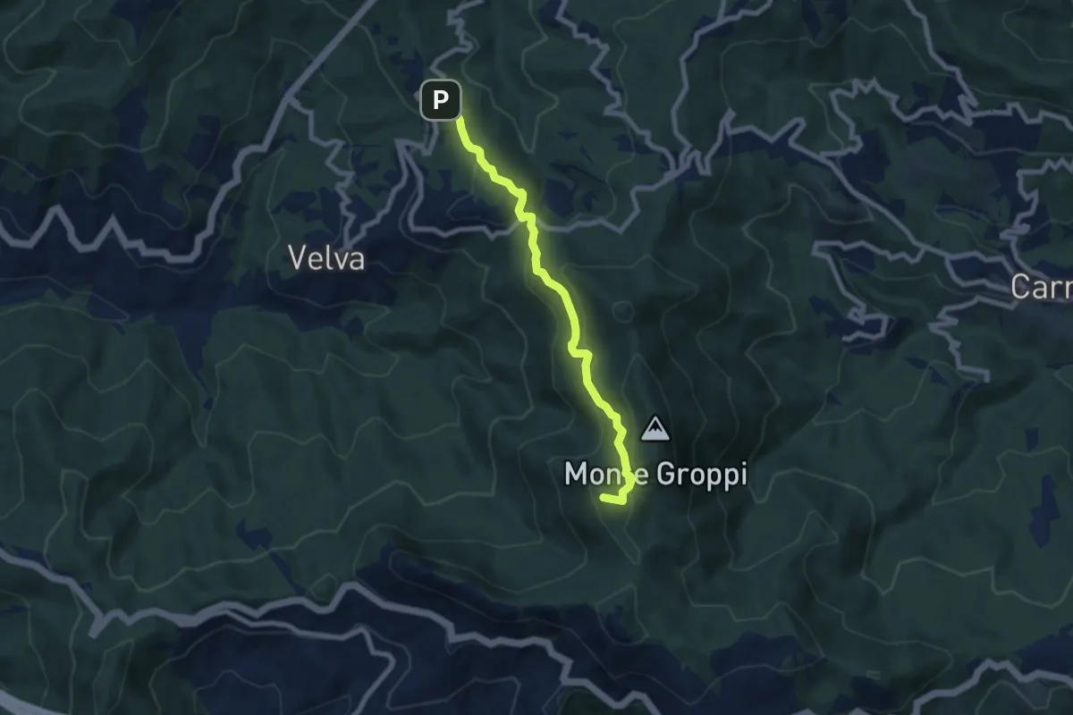
Medium · Summit
Santuario di Velva - Monte Alpe
12.6 km · ↑ 768 m · 4 h 38 min · 13 km away
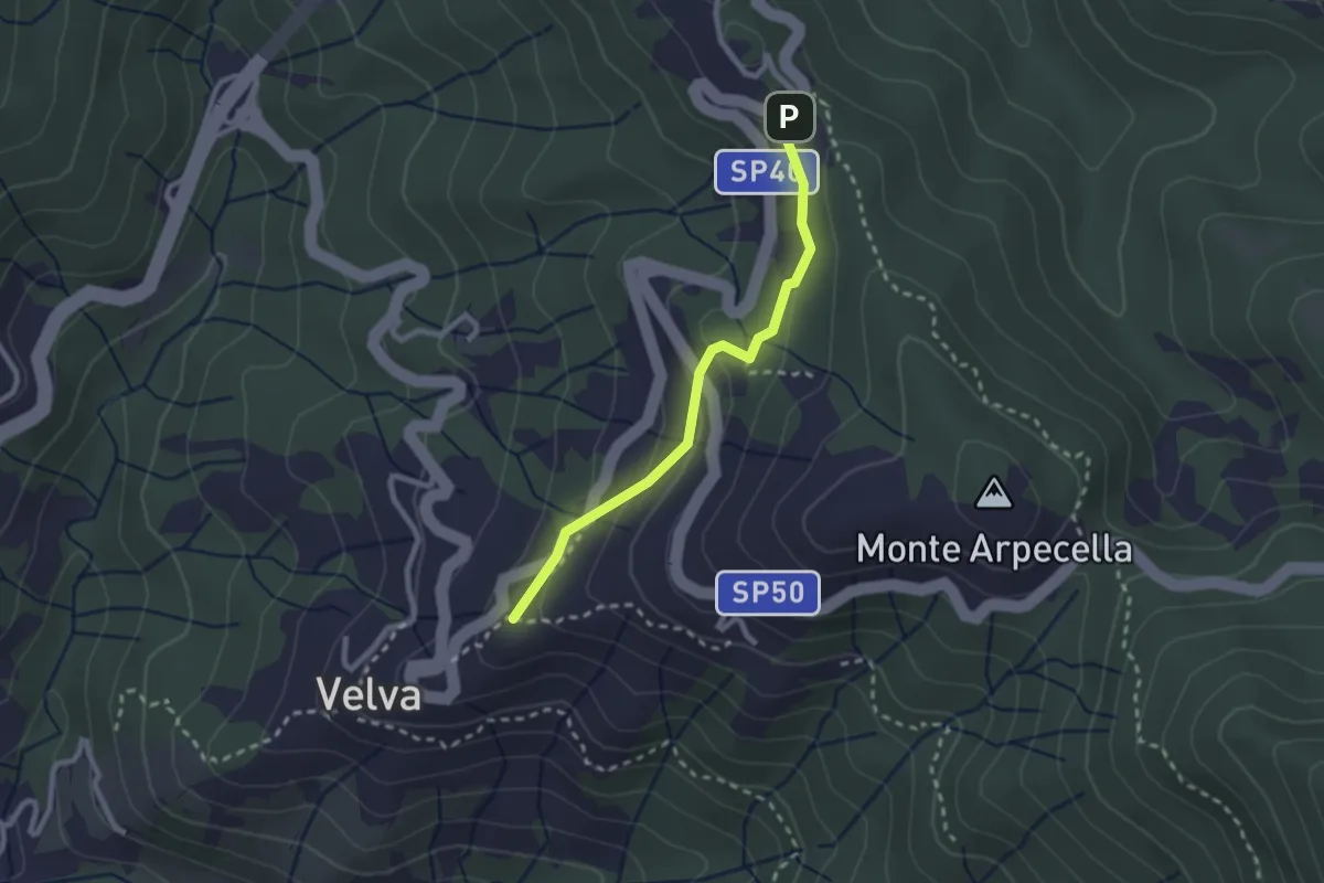
Medium · Summit
Madonna della Guardia di Velva - Monte San Nicolao
7.0 km · ↑ 415 m · 2 h 34 min · 13 km away
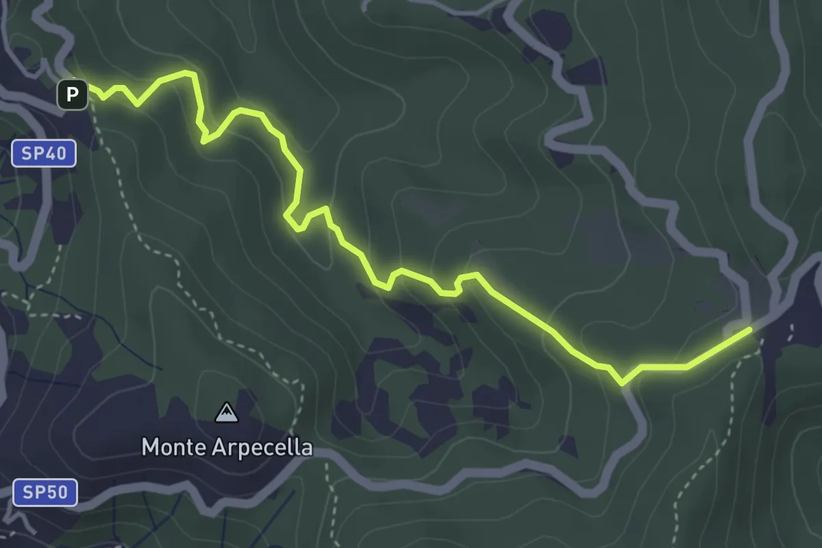
Easy · Trail
Velva - Madonna della Guardia
2.4 km · ↑ 96 m · 46 min · 13 km away
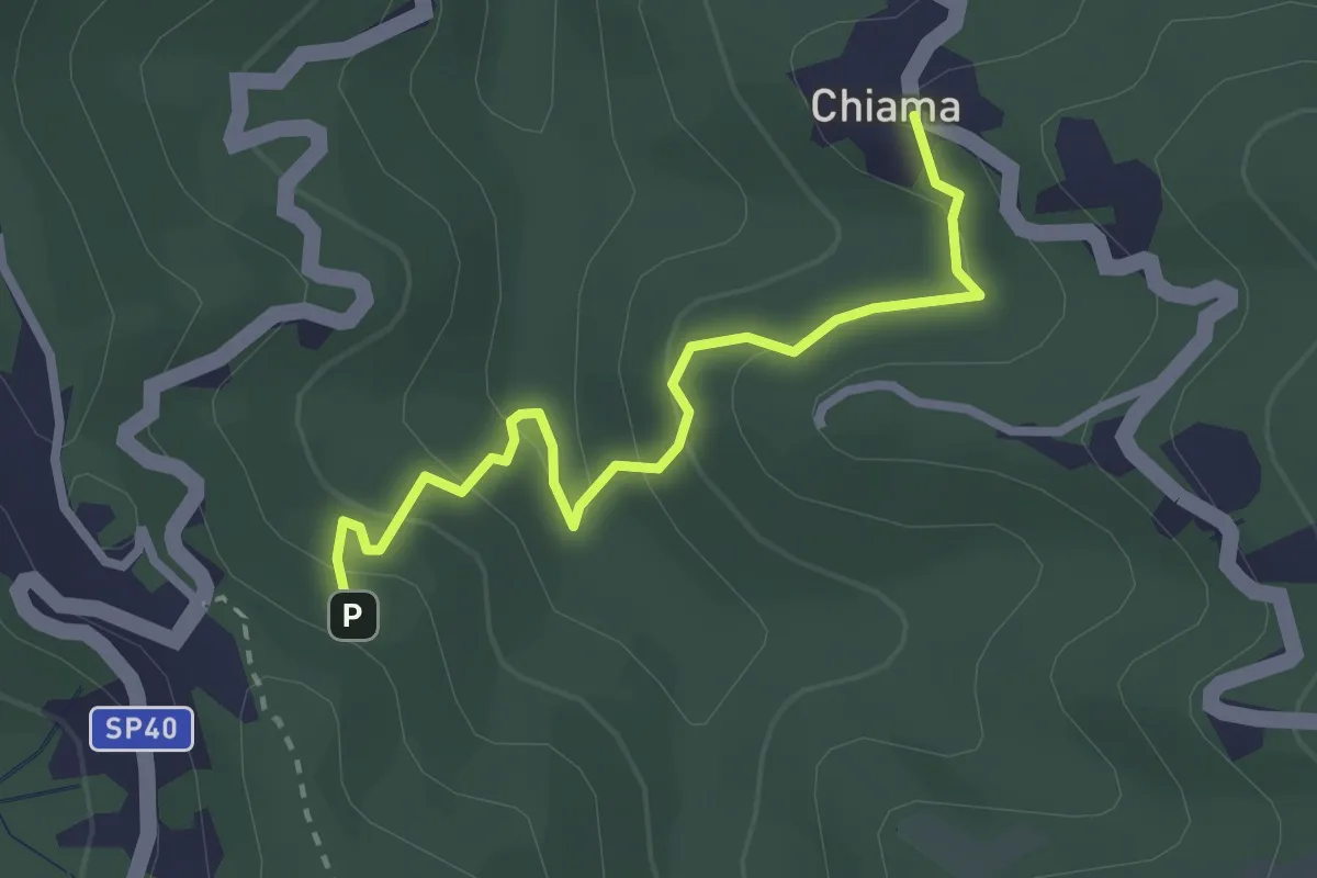
Easy · Trail
La Mola - Valico Velva
4.5 km · ↑ 296 m · 1 h 43 min · 13 km away
Easy · Trail
Chiama - Valico Velva
2.7 km · ↑ 147 m · 58 min · 13 km away
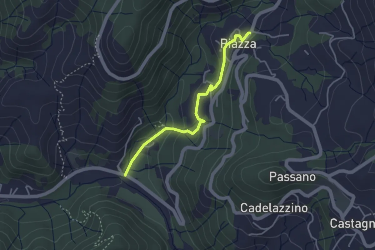
Easy · Trail
Case Ghiara - Caraschi - Piazza
3.2 km · ↑ 144 m · 1 h 4 min · 13 km away
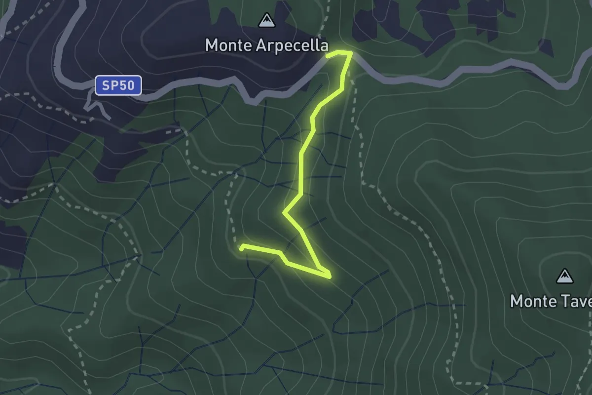
Easy · Trail
Incrocio Itinerario Velva/Baracchino - Sella dei Lavaggini
2.1 km · ↑ 112 m · 44 min · 13 km away
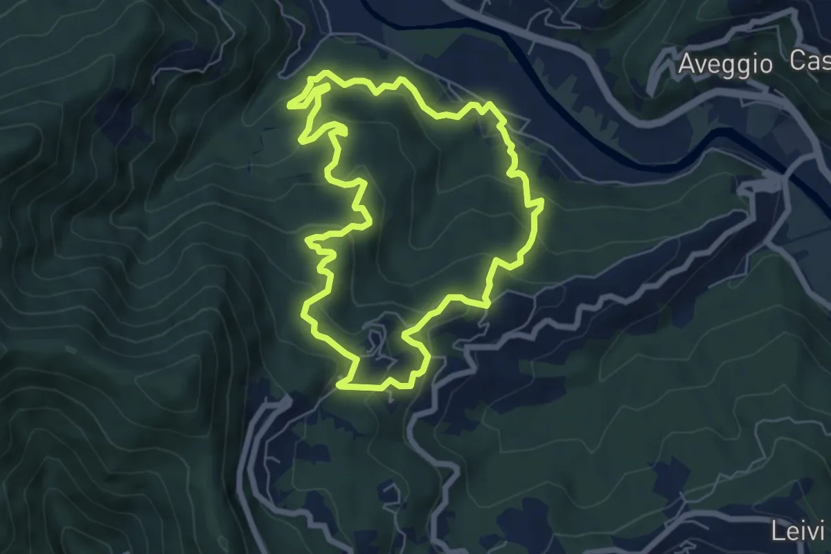
Medium · Trail
Anello di Camposasco e dell'Antica Abbazia
6.2 km · ↑ 386 m · 2 h 23 min · 13 km away
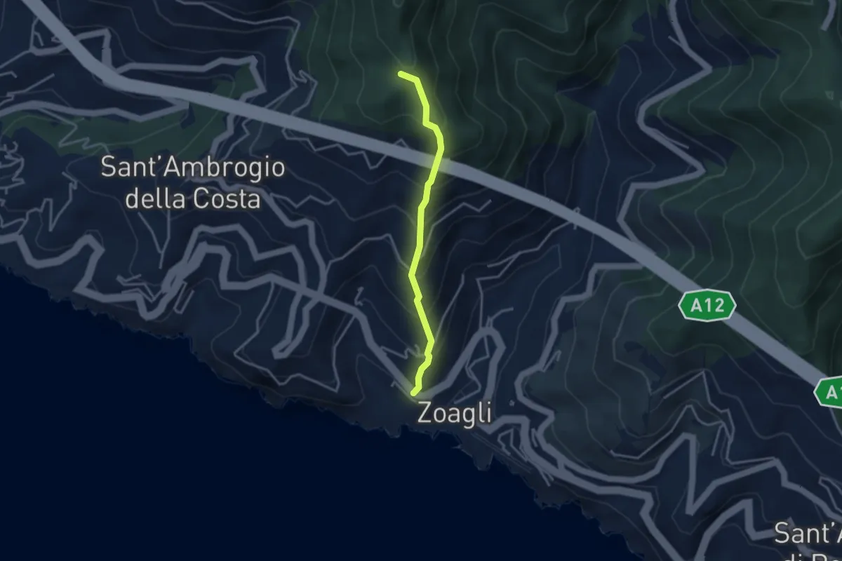
Medium · Trail
Via Scoglio - Intersezione con sentiero per monte Zuccarello
2.9 km · ↑ 393 m · 1 h 33 min · 14 km away