Trails near Sestri Levante
159 hikes starting within 15 km, nearest first.
Nearest first, page 4 of 4
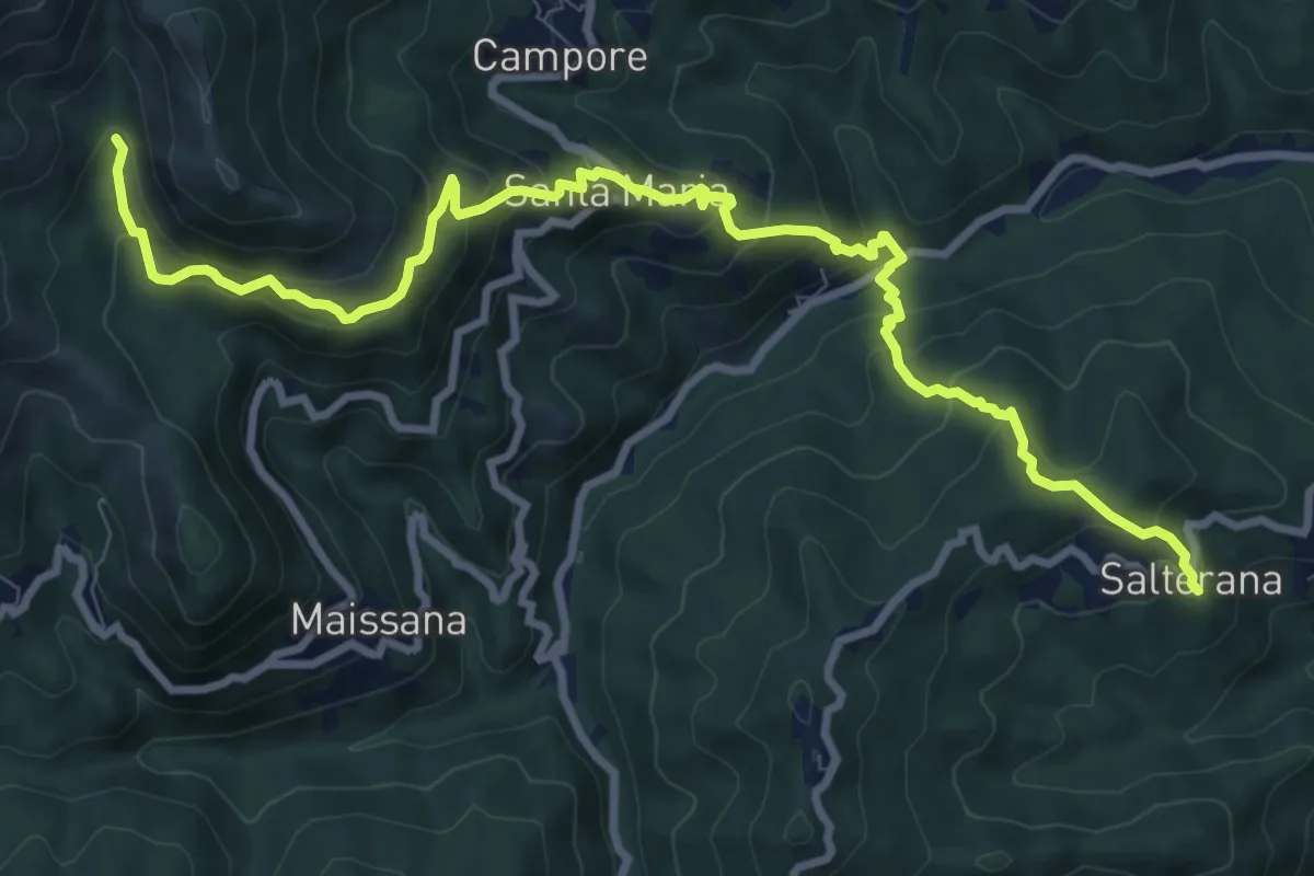
Demanding · Trail
Salterana - Mulino dei Bulli - Santa Maria - Lagorara
11.4 km · ↑ 864 m · 4 h 33 min · 14 km away
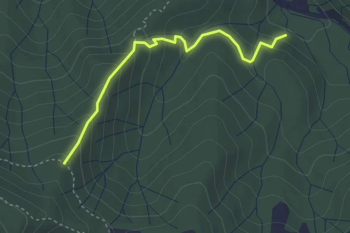
Easy · Trail
Puntaschi - Case Vigo - Cava Serin
3.0 km · ↑ 221 m · 1 h 11 min · 14 km away
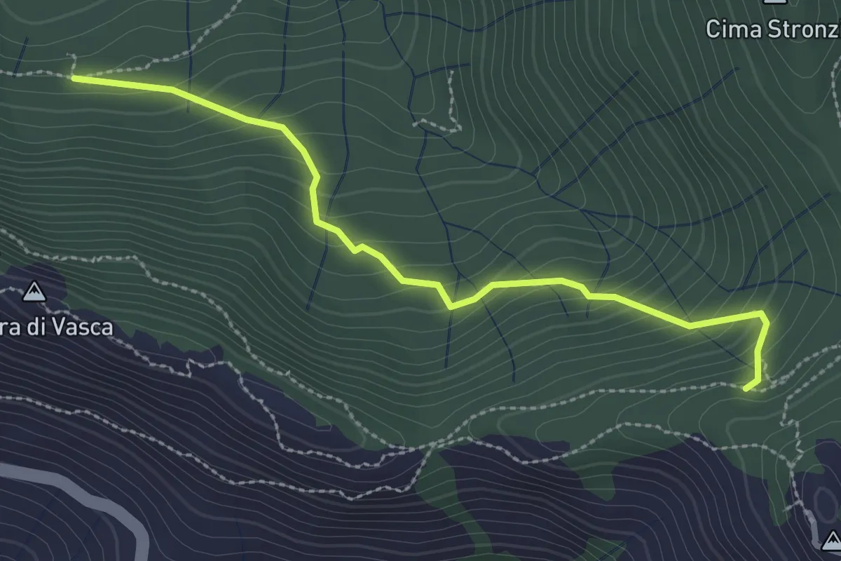
Medium · Trail
Vasca - Monte San Nicolao
2.8 km · ↑ 249 m · 1 h 13 min · 14 km away
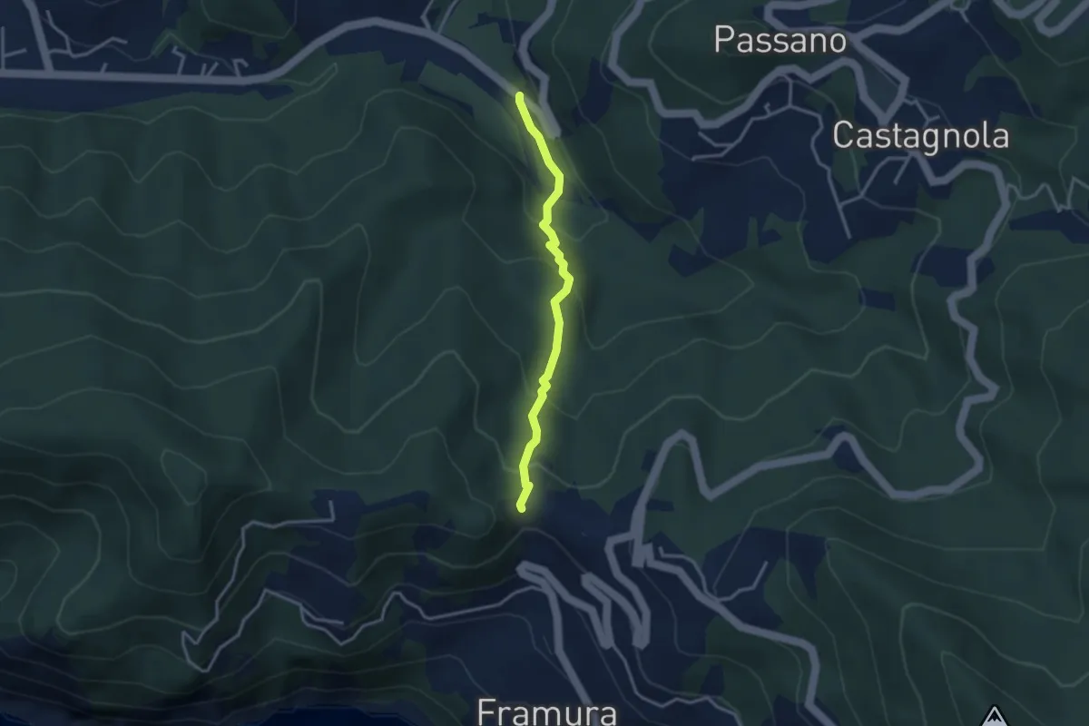
Easy · Trail
Costa - Acquafredda - Cava Serin - Torrente Castagnola
3.0 km · ↑ 191 m · 1 h 7 min · 14 km away
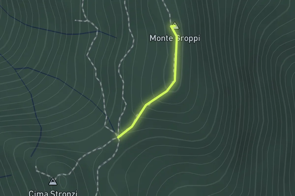
Easy · Summit
Monte Groppi
0.8 km · ↑ 31 m · 15 min · 14 km away
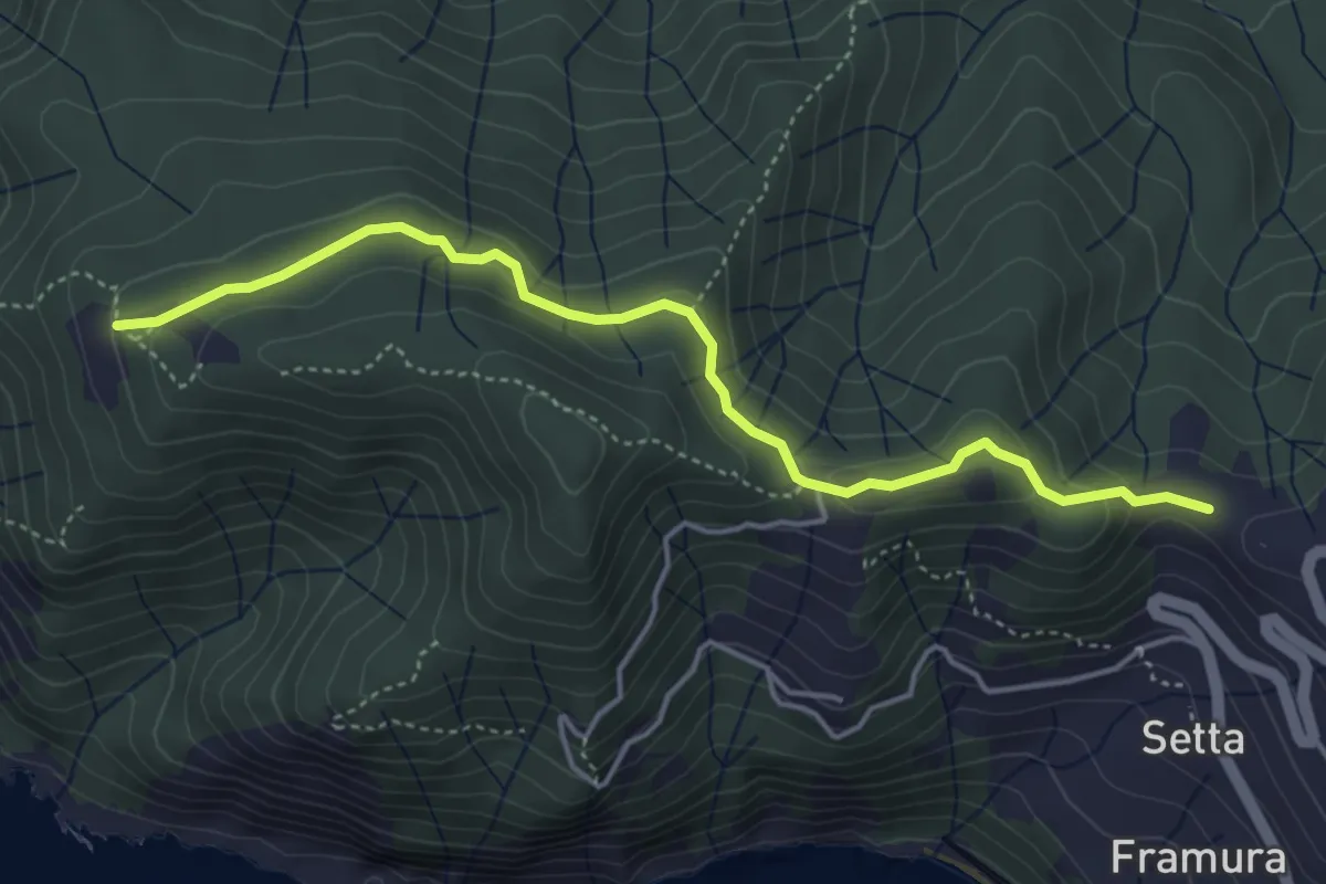
Easy · Trail
Costa - Foce del Prato - Case Serra
4.7 km · ↑ 156 m · 1 h 27 min · 14 km away
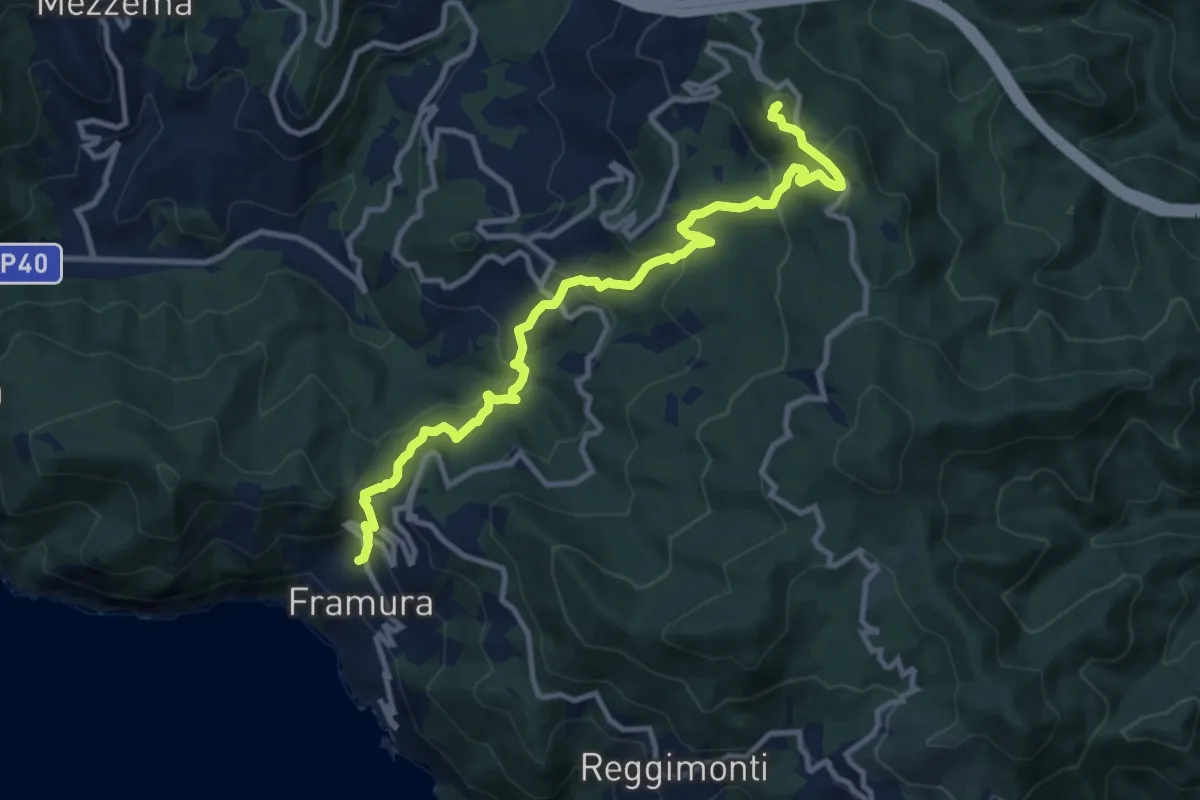
Medium · Summit
Framura (Setta) - Costa - Rovereto - Castagnola - Monte Sant'Agata
11.9 km · ↑ 720 m · 4 h 23 min · 14 km away
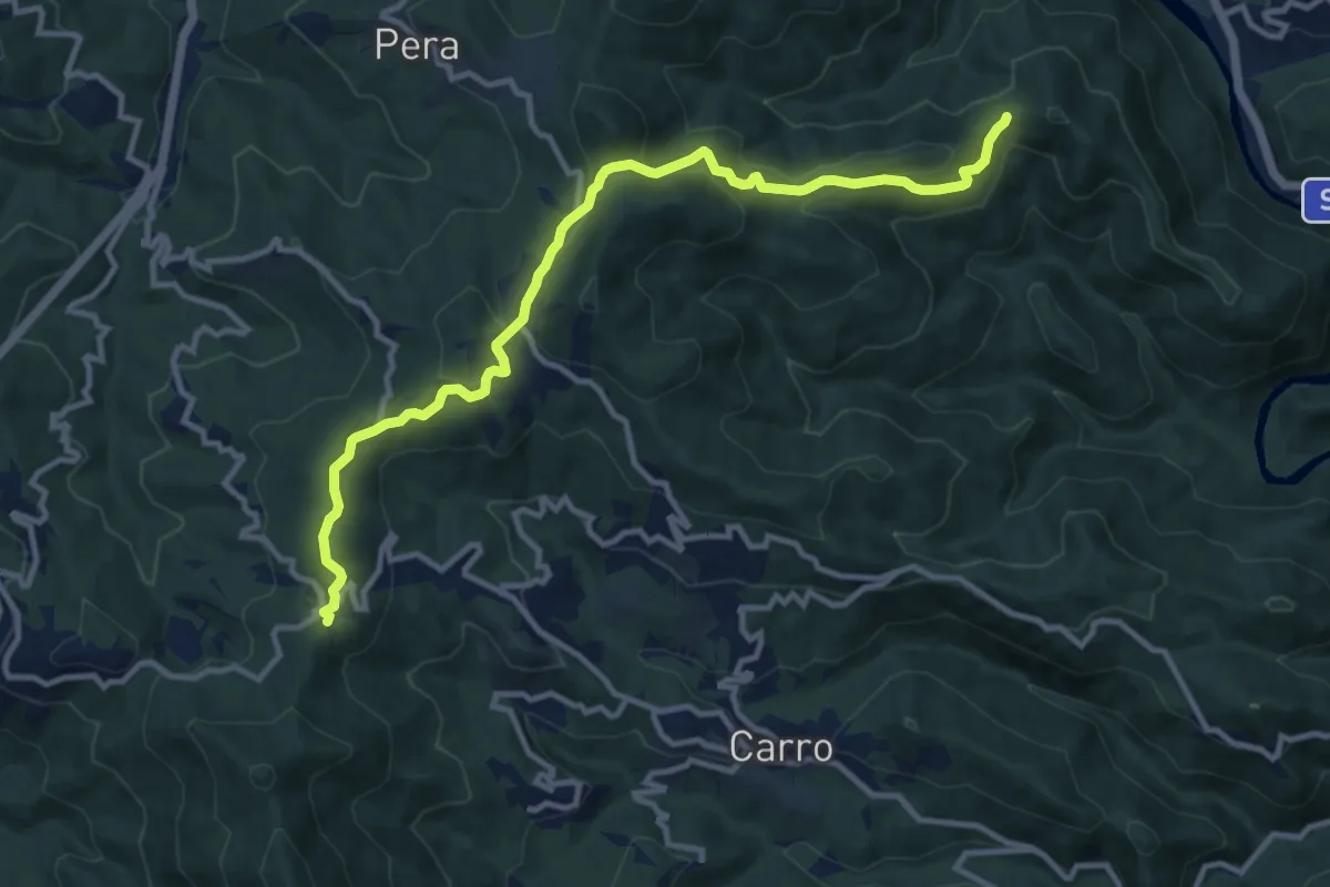
Medium · Trail
La Mola – Valico della Foce – Costa Manteghea – Monte Vagie
12.3 km · ↑ 555 m · 4 h 6 min · 14 km away
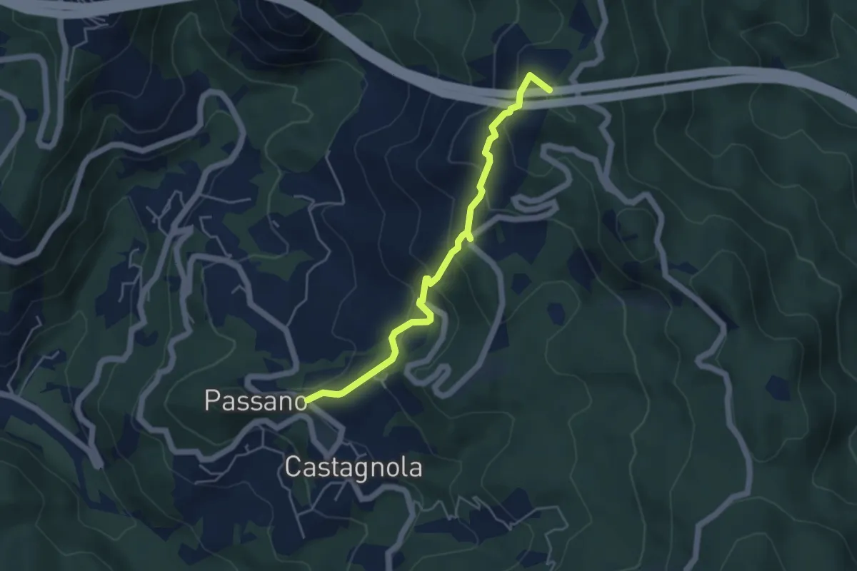
Medium · Summit
Pian delle Rose - Moggia - Pian della Madonna - Baracca
4.6 km · ↑ 332 m · 1 h 49 min · 14 km away
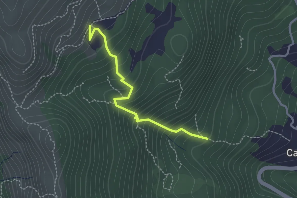
Medium · Trail
Campore – Ciappea
2.2 km · ↑ 238 m · 1 h 2 min · 14 km away
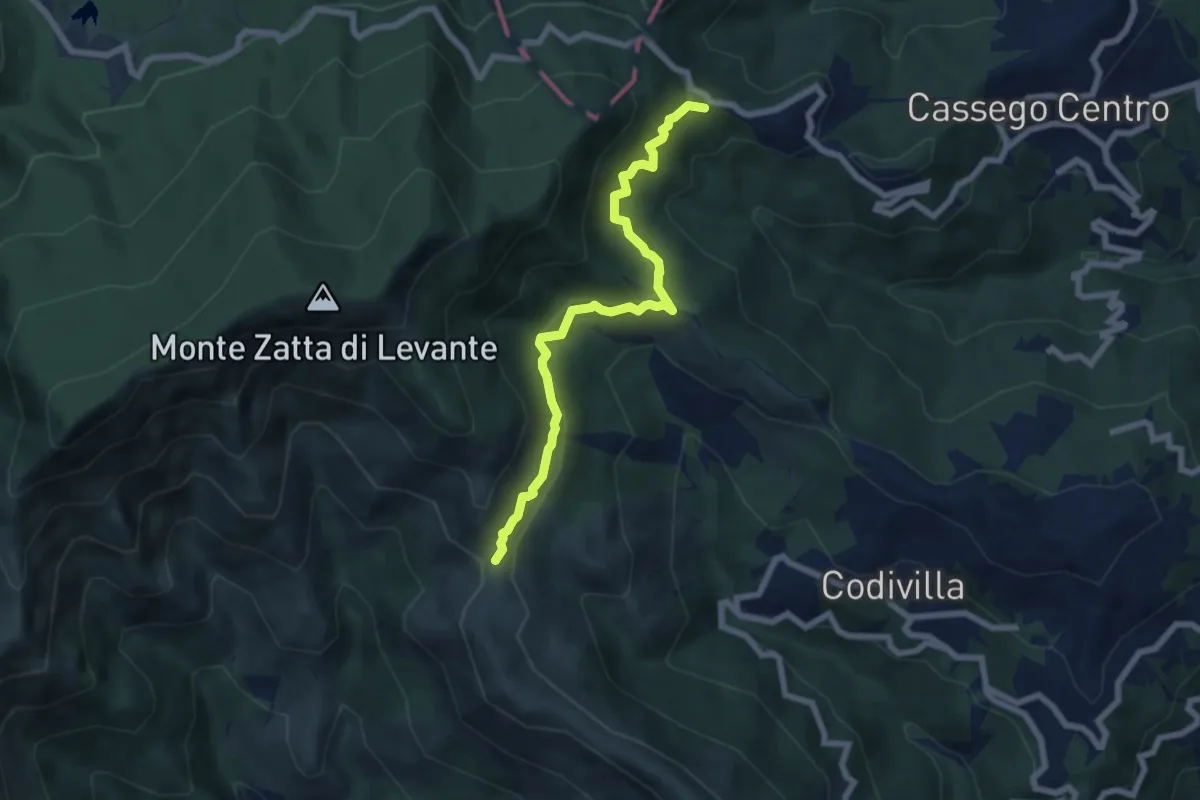
Medium · Trail
Poggio della Marchesina – Bivio AV5T (Sentiero del Baciccia)
6.9 km · ↑ 403 m · 2 h 30 min · 15 km away
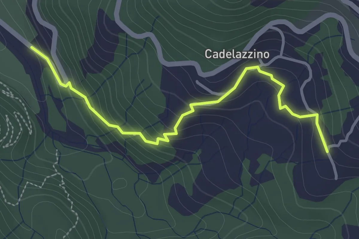
Easy · Trail
Pietre Rosse - Volturara - Rovereto
3.2 km · ↑ 180 m · 1 h 9 min · 15 km away
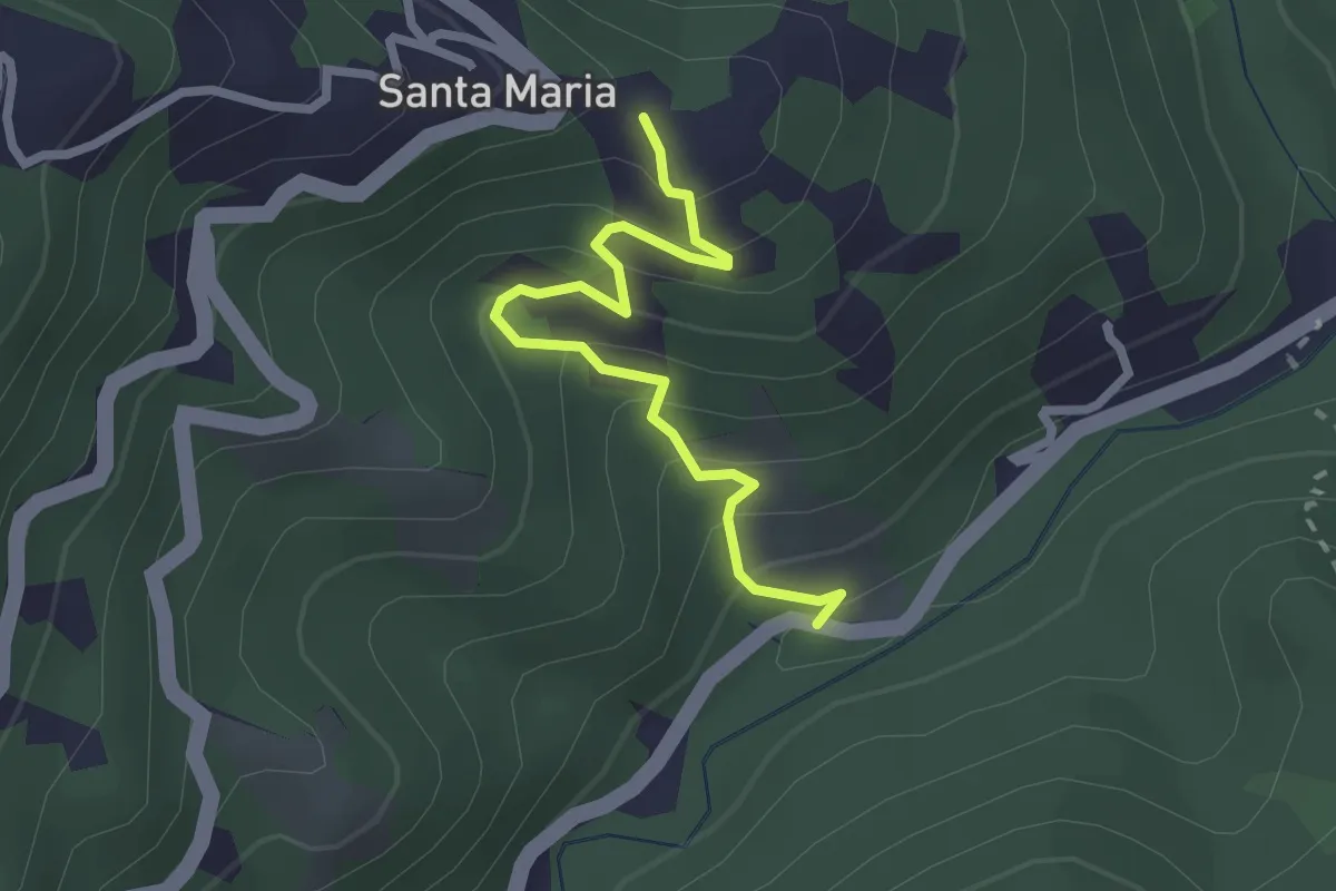
Easy · Trail
Lungo Borsa - Santa Maria
2.5 km · ↑ 205 m · 1 h 2 min · 15 km away
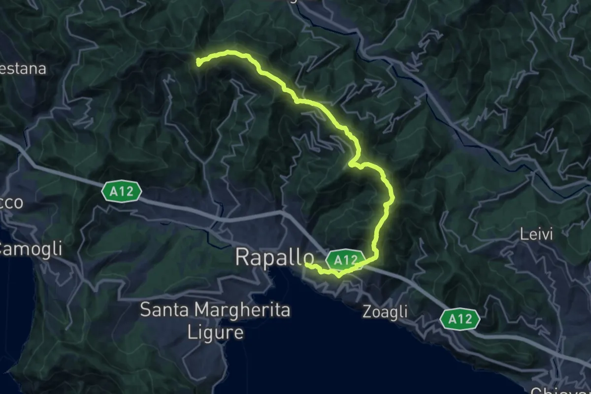
Demanding · Summit
Rapallo – Monte Manico del Lume
23.1 km · ↑ 1379 m · 8 h 27 min · 15 km away
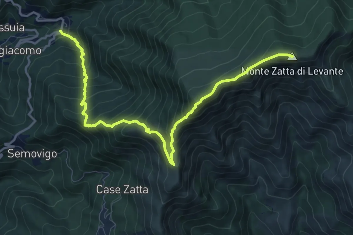
Demanding · Summit
San Siro Foce – Monte Zatta
11.2 km · ↑ 1026 m · 4 h 53 min · 15 km away