Trails near Tarcento
106 hikes starting within 15 km, nearest first.
Nearest first, page 1 of 3
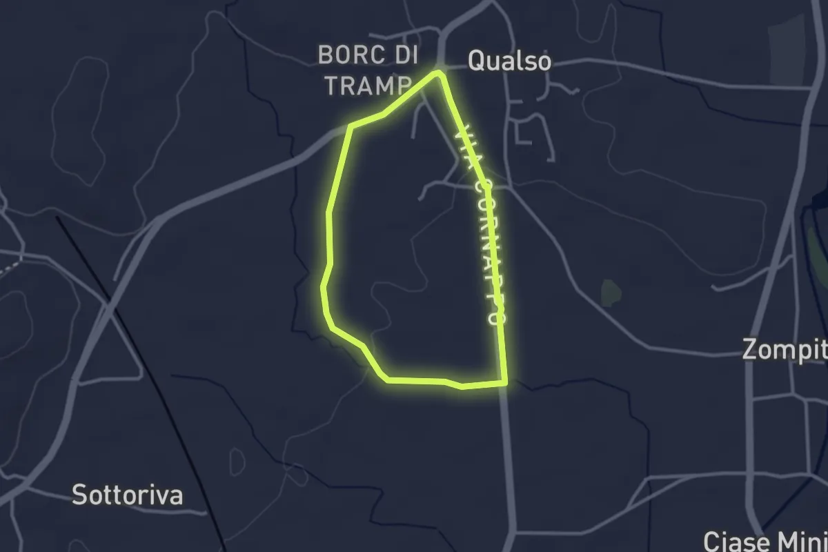
Easy · Trail
10mila passi Reana del Rojale
2.4 km · ↑ 14 m · 38 min · 5 km away
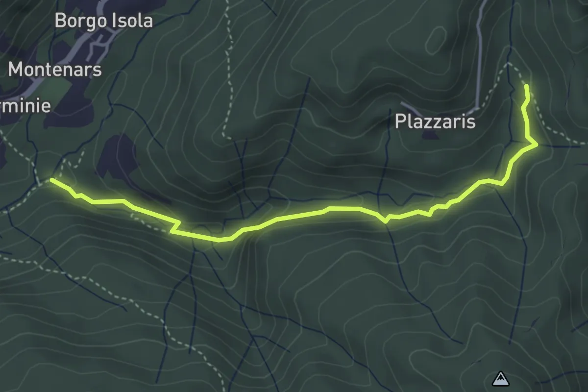
Easy · Trail
Sentiero del Rio Confine
4.1 km · ↑ 188 m · 1 h 23 min · 5 km away
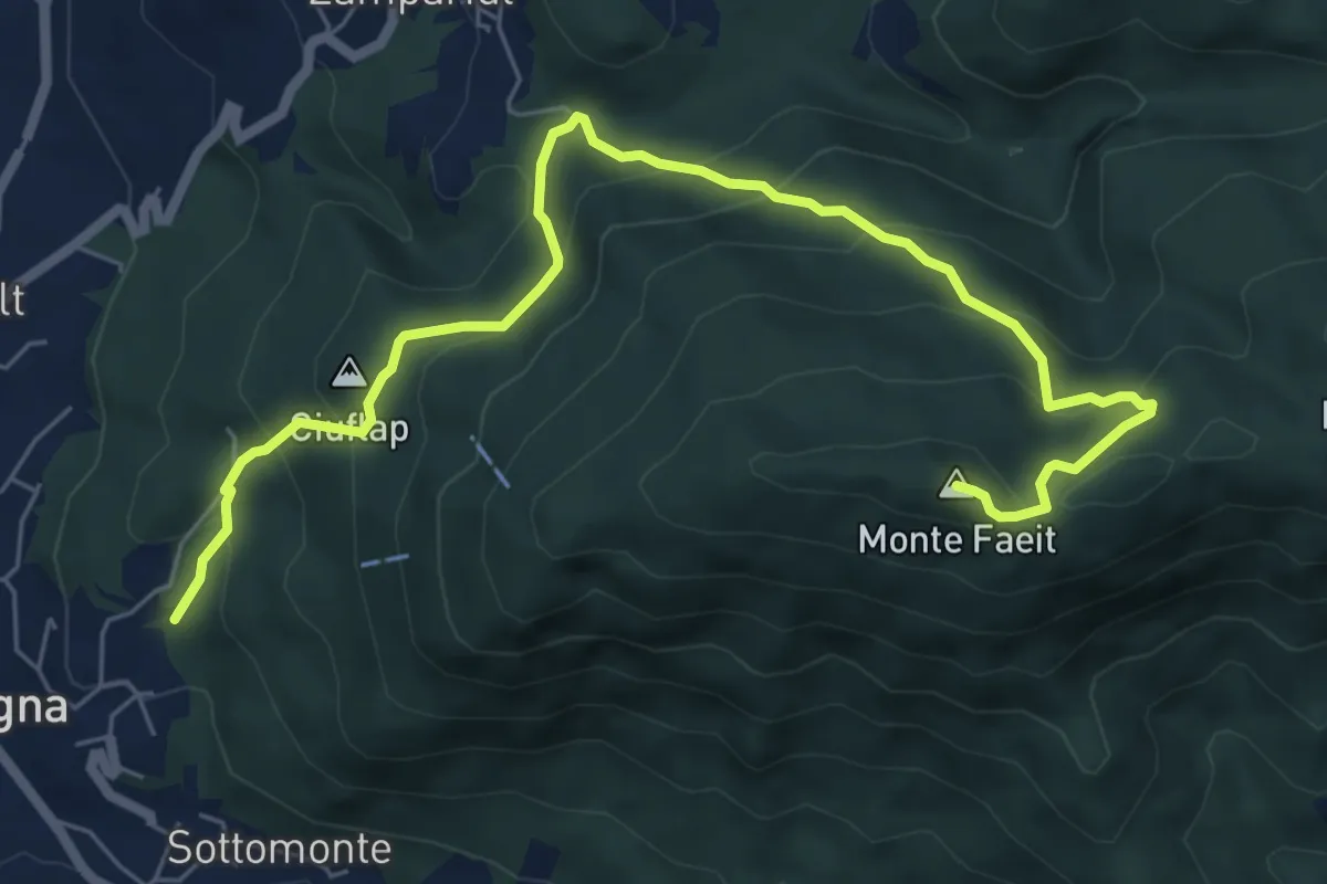
Medium · Summit
Sentiero monte Faeit
7.8 km · ↑ 531 m · 2 h 59 min · 5 km away
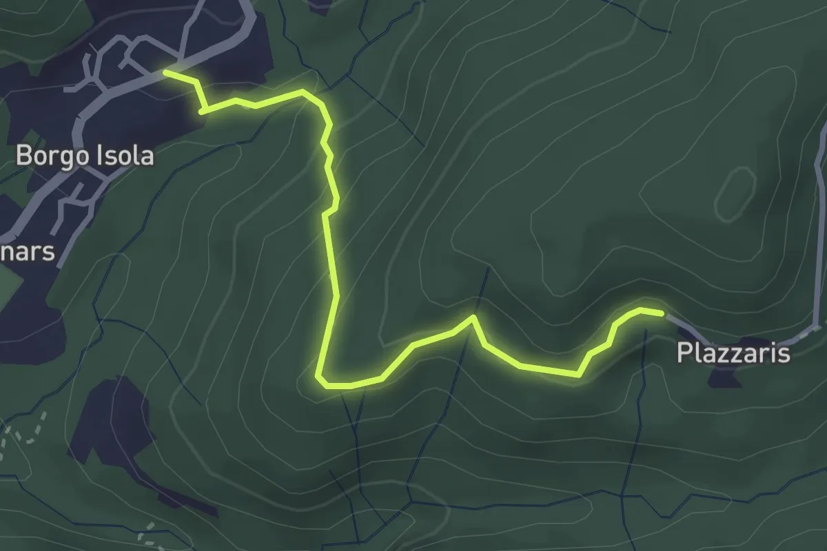
Easy · Trail
Troi di Fêse
3.0 km · ↑ 203 m · 1 h 9 min · 6 km away
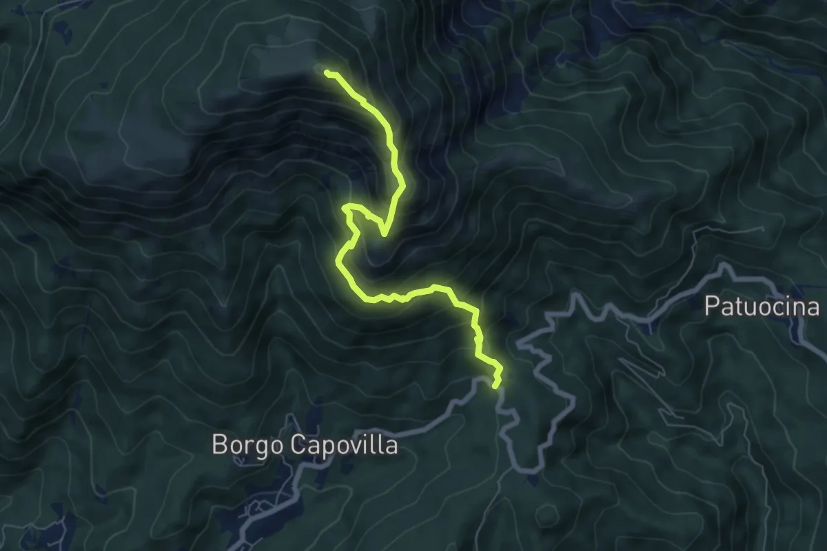
Medium · Summit
Roccolo di Montenars (quota 650 m) – Sella Foredôr
6.3 km · ↑ 756 m · 3 h 8 min · 6 km away
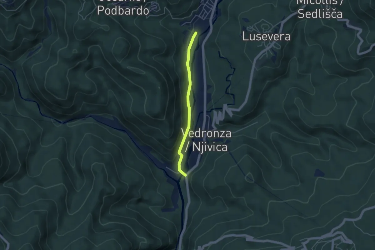
Easy · Trail
Sentiero delle pod Ledina
3.5 km · ↑ 64 m · 58 min · 6 km away
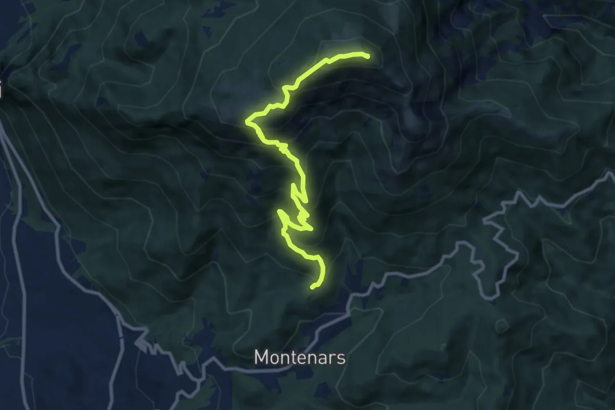
Demanding · Summit
Montenars, Iôuf (quota 598 m) – M. Cuarnan Chiesetta del Redentore Forcella dell’Asta (quota 1372 m)
9.2 km · ↑ 856 m · 4 h 2 min · 6 km away
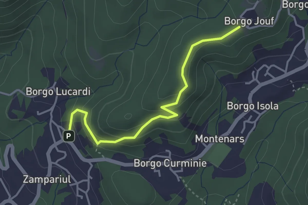
Easy · Trail
Troi dai çucs
3.0 km · ↑ 171 m · 1 h 5 min · 6 km away
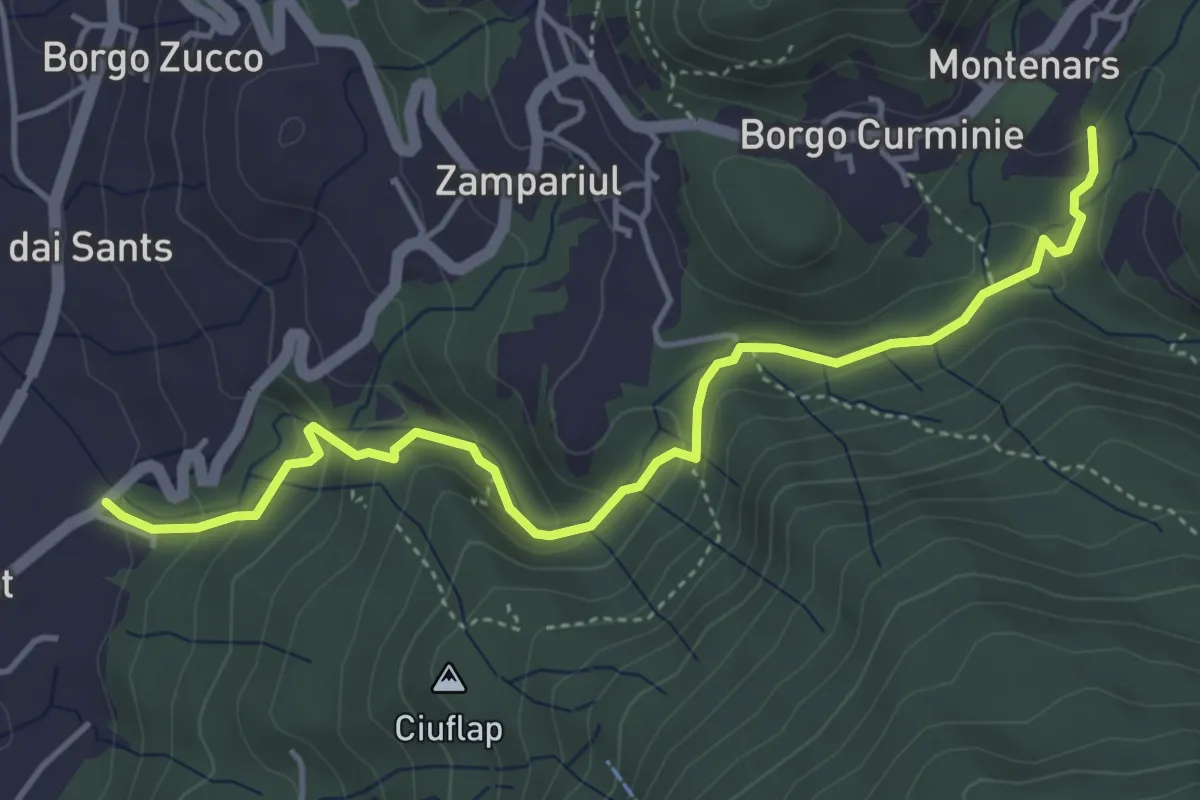
Medium · Trail
Troi des cascades
4.8 km · ↑ 215 m · 1 h 37 min · 6 km away
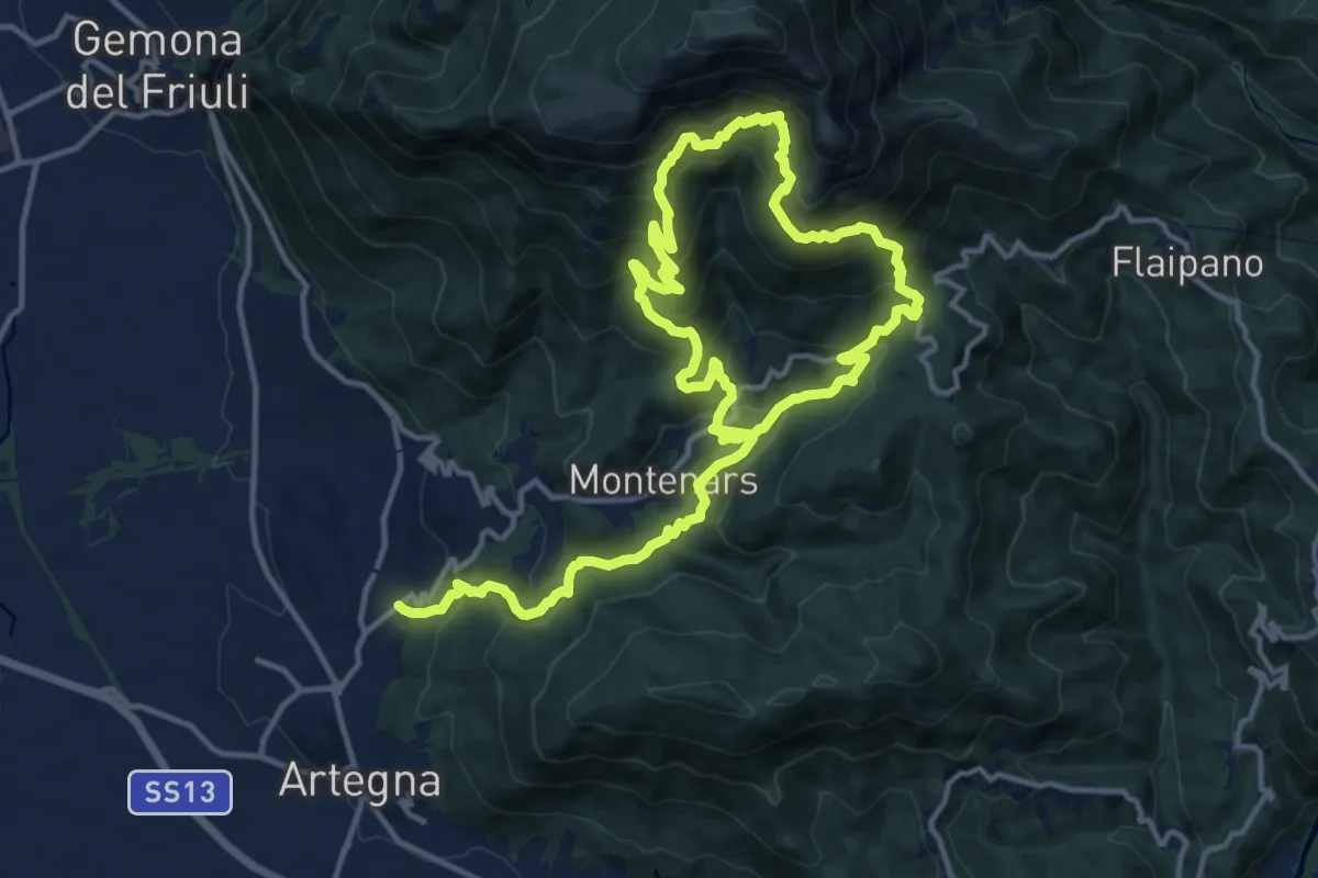
Demanding · Trail
Percorso didattico dalle risorgive al torrente Orvenco
11.7 km · ↑ 939 m · 4 h 50 min · 6 km away
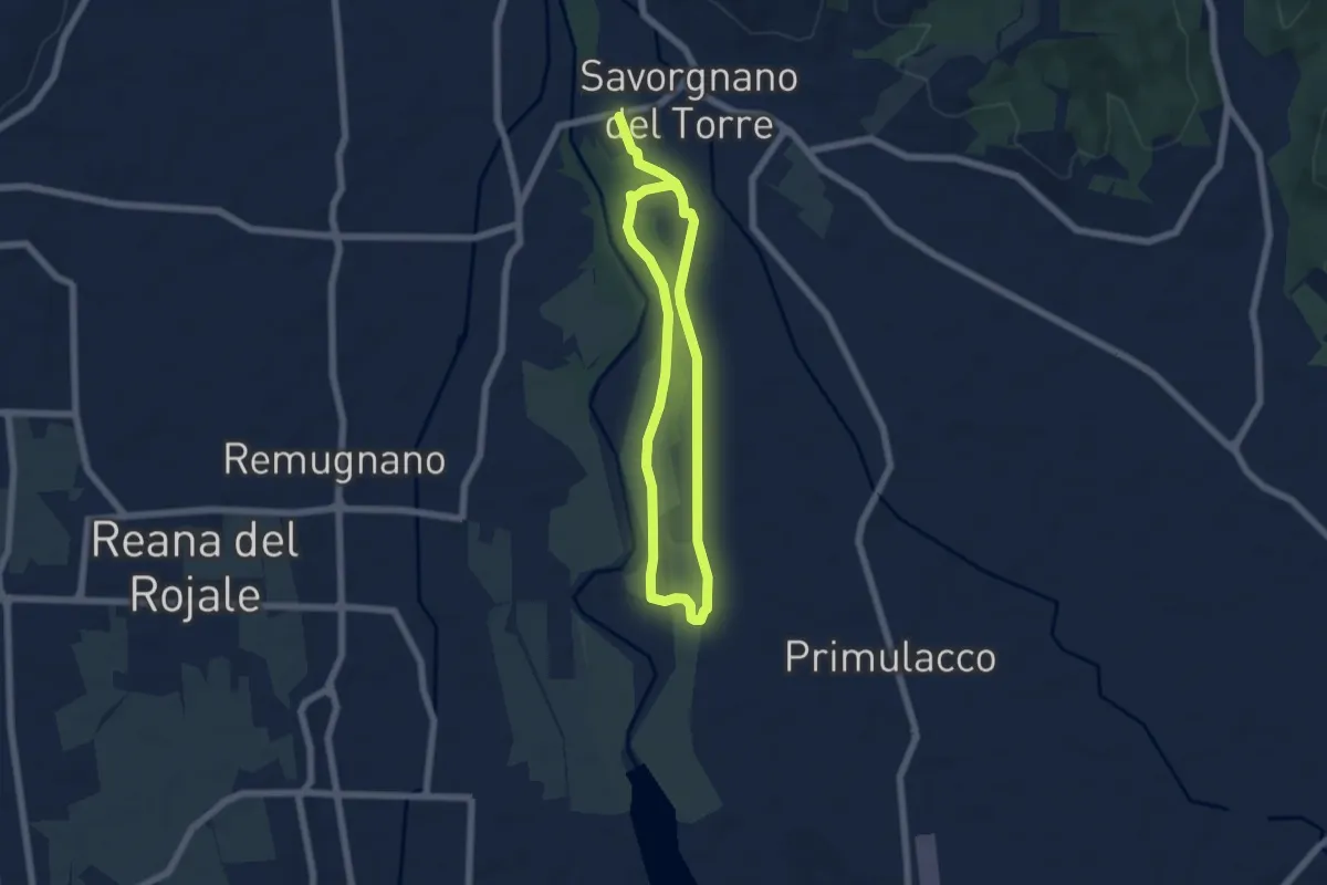
Medium · Trail
10mila passi Povoletto - Lungo il torrente Torre
9.8 km · ↑ 21 m · 2 h 22 min · 6 km away
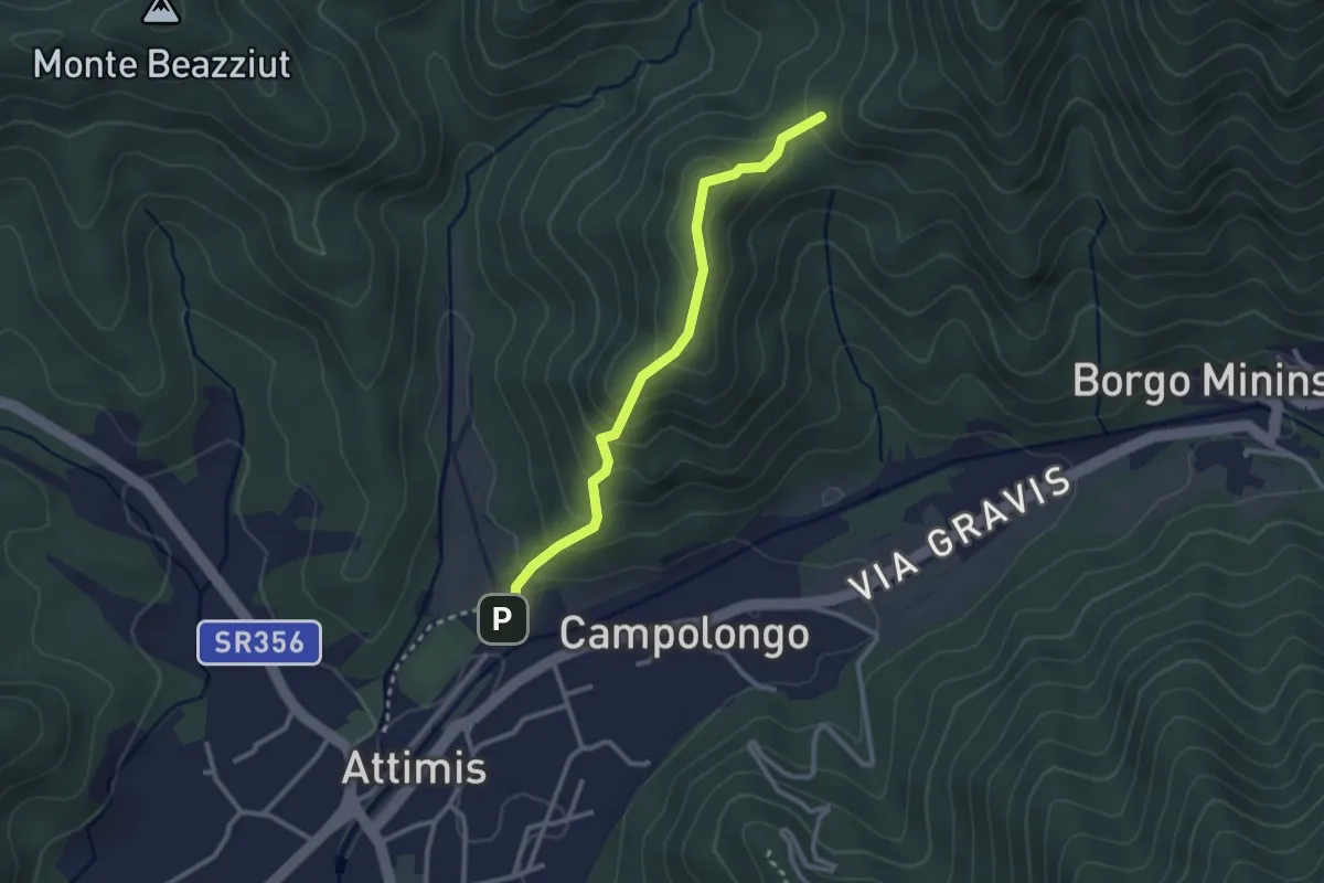
Easy · Trail
Sentiero Madone d’Aiut
2.6 km · ↑ 208 m · 1 h 4 min · 7 km away
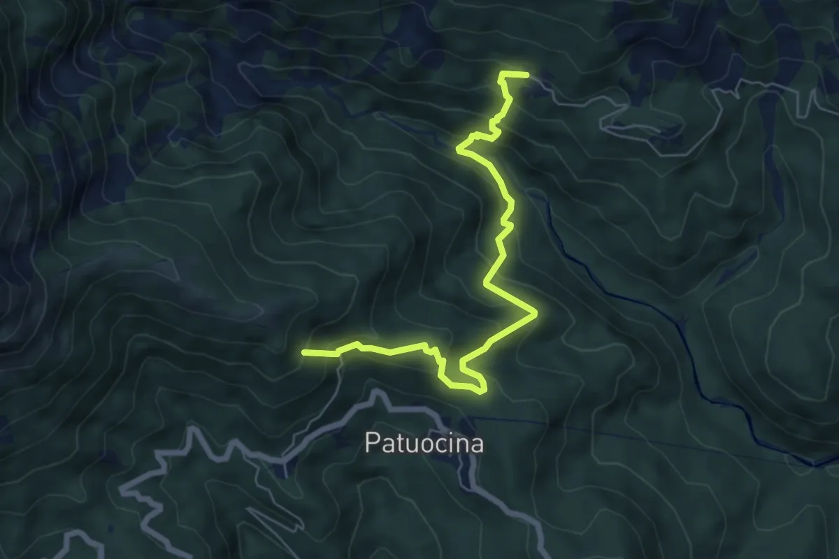
Medium · Summit
Sentiero Pers Ponte Romano
6.3 km · ↑ 584 m · 2 h 45 min · 7 km away
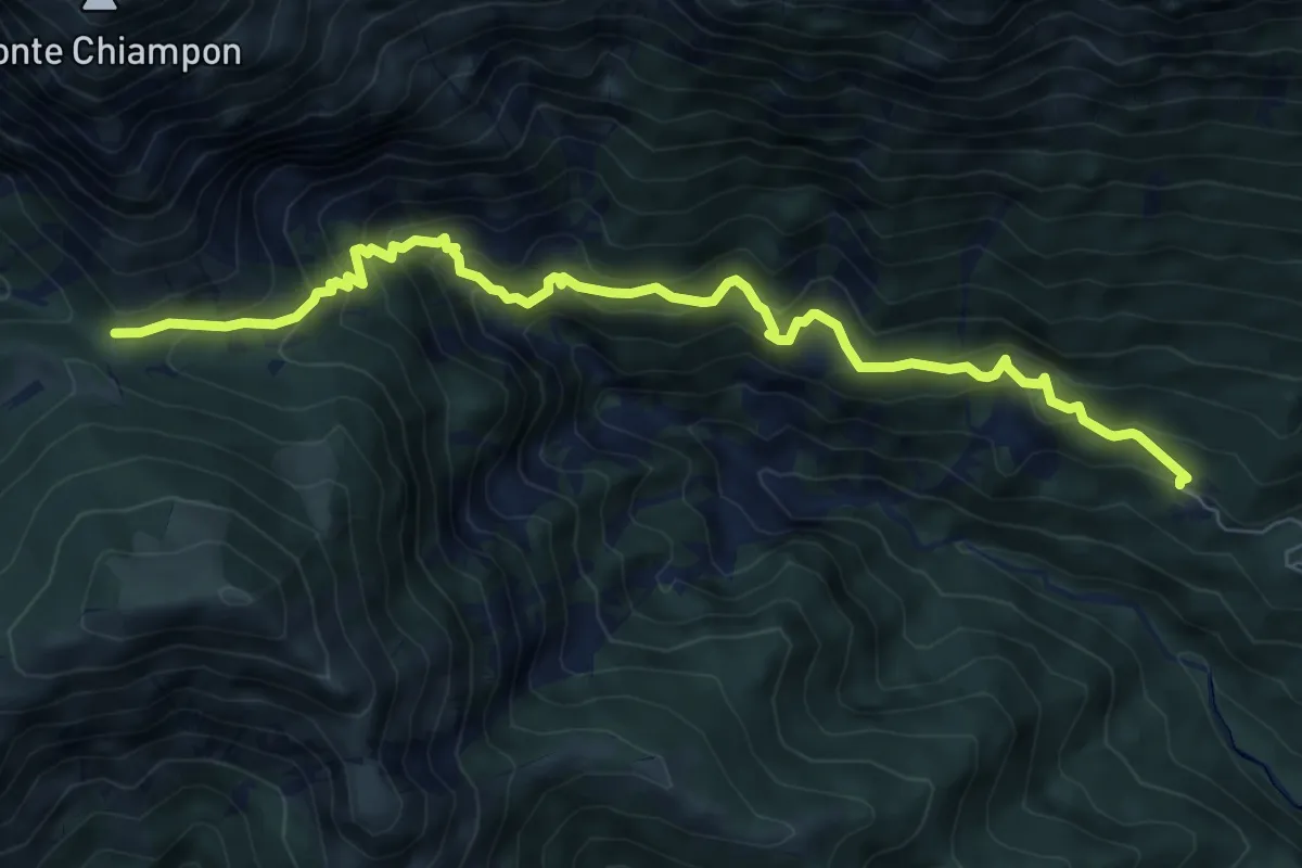
Medium · Trail
Troi da Vedronge
8.4 km · ↑ 772 m · 3 h 39 min · 7 km away
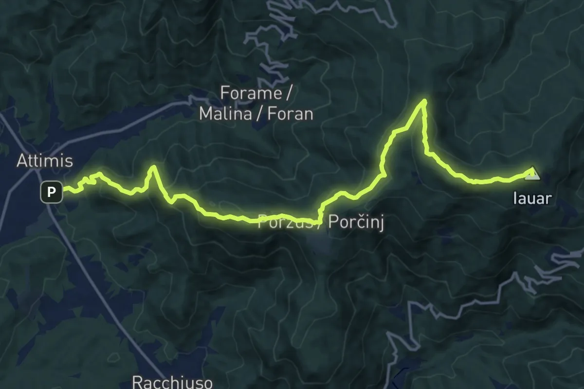
Demanding · Summit
Sentiero dello Scalutta
16.6 km · ↑ 920 m · 5 h 55 min · 7 km away
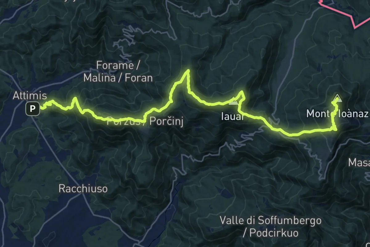
Demanding · Summit
Attimis (q. 195 m) – Colloredo di Soffumbergo (q. 303 m)
26.7 km · ↑ 1564 m · 9 h 41 min · 7 km away
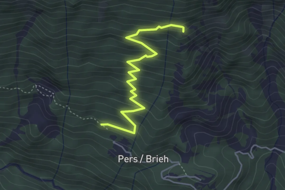
Medium · Trail
Sentiero della Lopata
4.0 km · ↑ 357 m · 1 h 43 min · 7 km away
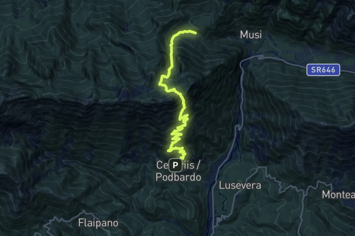
Demanding · Trail
Cesariis (quota 539 m) – Plan di Tapou (quota 886 m)
15.9 km · ↑ 1675 m · 7 h 23 min · 7 km away
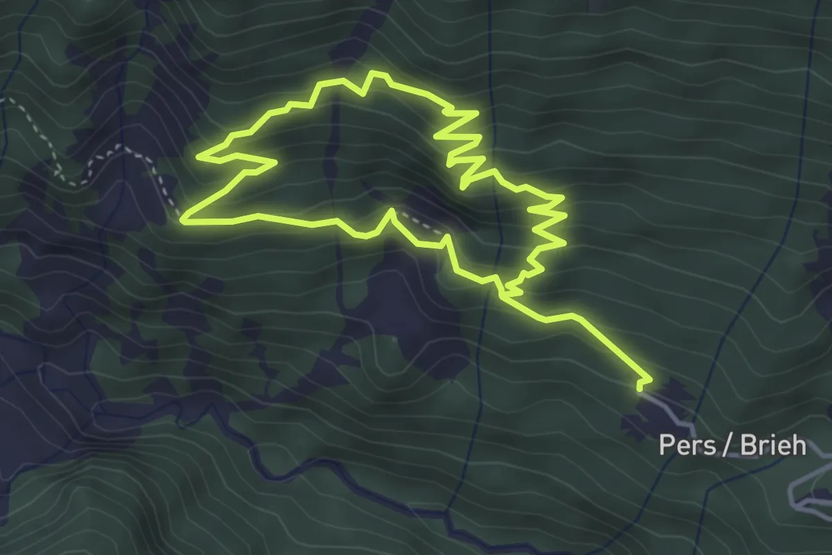
Medium · Trail
Sentiero di rio Leria
7.1 km · ↑ 626 m · 3 h 2 min · 8 km away
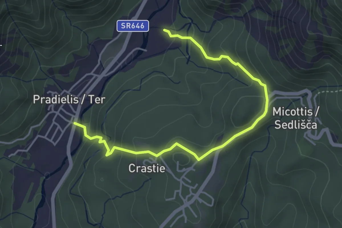
Easy · Trail
Anello Pradielis - Micottis
2.3 km · ↑ 140 m · 53 min · 8 km away
Medium · Trail
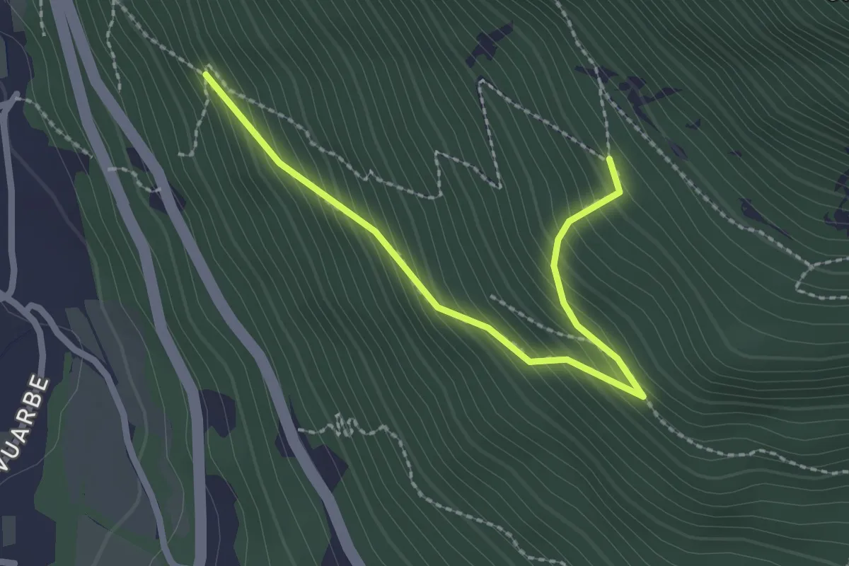
Primo tornante del sentiero 716 con progressione N-S (quota 300 m) – Ricongiungimento sul sentiero 716 (quota 600 m)
2.4 km · ↑ 265 m · 1 h 9 min · 9 km away
Easy · Trail
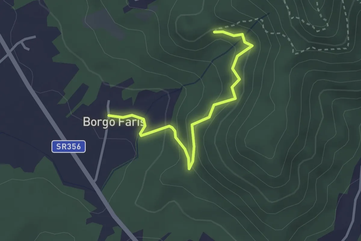
Sentiero delle Rogazioni (alternative)
2.7 km · ↑ 157 m · 59 min · 9 km away
Medium · Trail
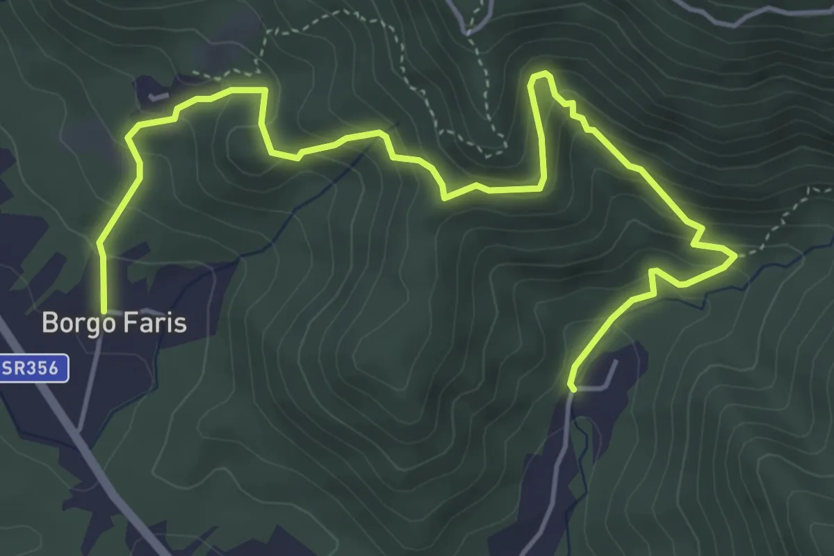
Sentiero delle Rogazioni
6.1 km · ↑ 539 m · 2 h 36 min · 9 km away
Medium · Trail
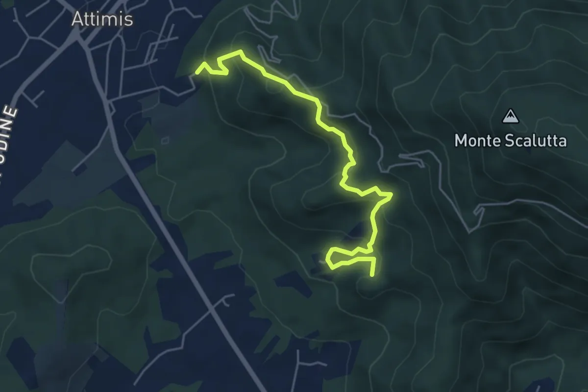
Sentiero dei Castelli
4.8 km · ↑ 347 m · 1 h 53 min · 9 km away
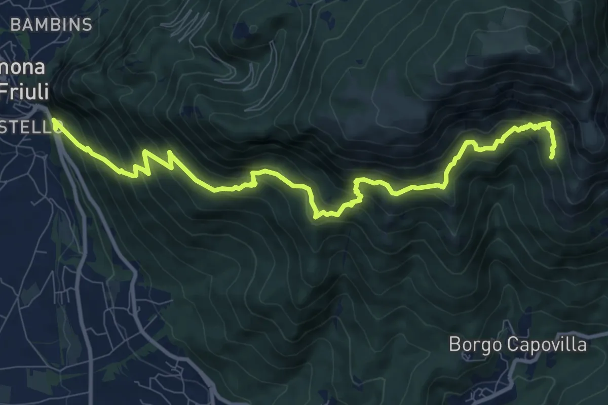
Demanding · Trail
Gemona (il Vallo) SP20 bivio strada per Maniaglia (quota 254 m) – Lis Presis (quota 1000 m)
10.8 km · ↑ 1021 m · 4 h 45 min · 9 km away
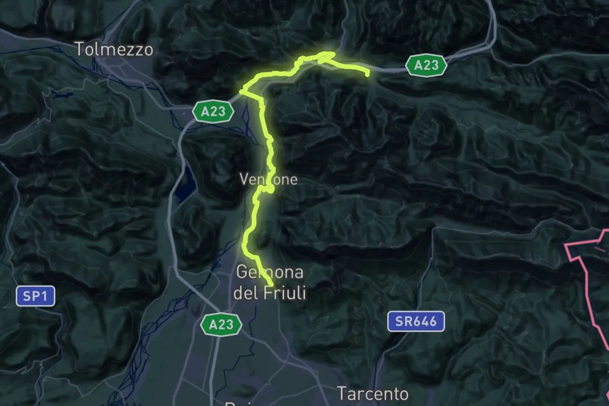
Demanding · Trail
Romea Strata in Italia - Tappa RSIT04
27.4 km · ↑ 478 m · 7 h 52 min · 9 km away
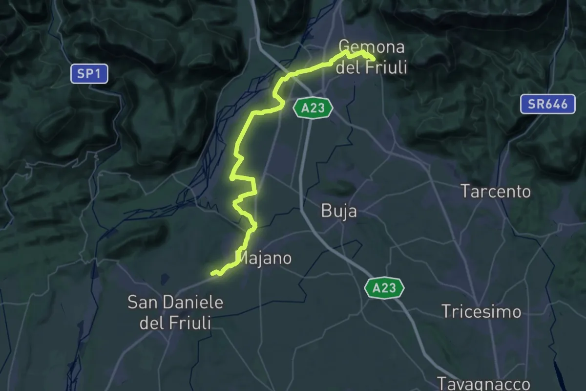
Demanding · Trail
Romea Strata in Italia - Tappa RSIT05
21.6 km · ↑ 92 m · 5 h 38 min · 9 km away
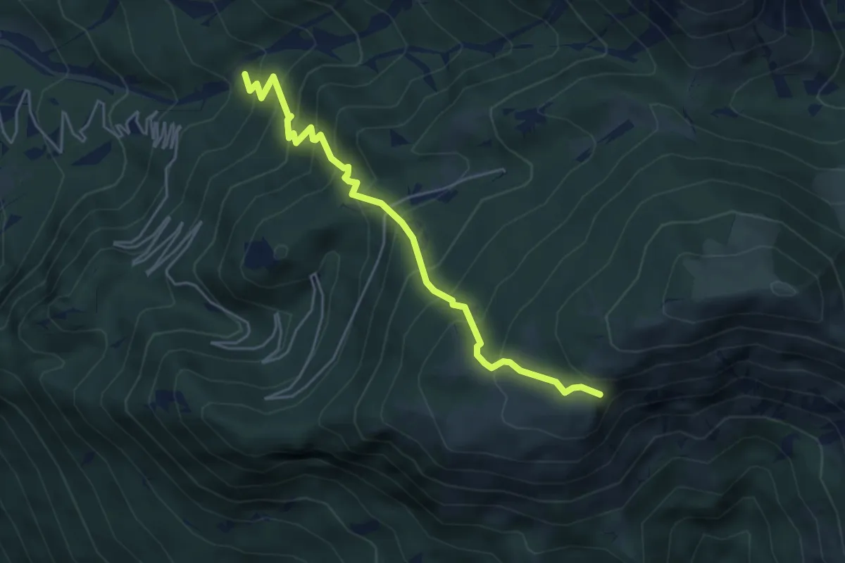
Medium · Trail
Bivio sentiero n. 713 (quota 615 m) – Ors di Cuarnan – Bivio sentiero n. 715 (quota 1152 m)
4.8 km · ↑ 569 m · 2 h 22 min · 9 km away
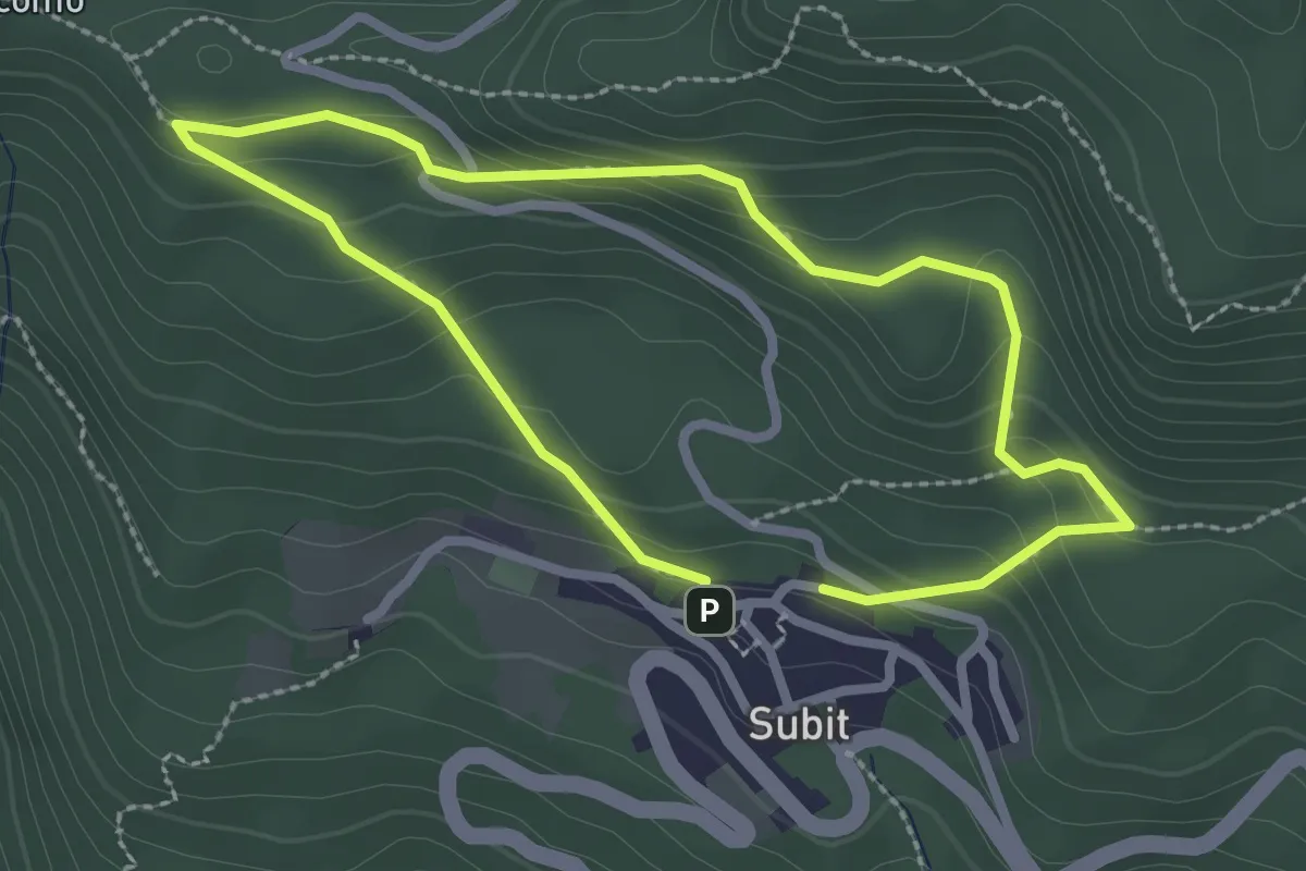
Easy · Trail
Anello 2: Sentiero della Strega - Piante Tossiche
2.2 km · ↑ 142 m · 51 min · 9 km away
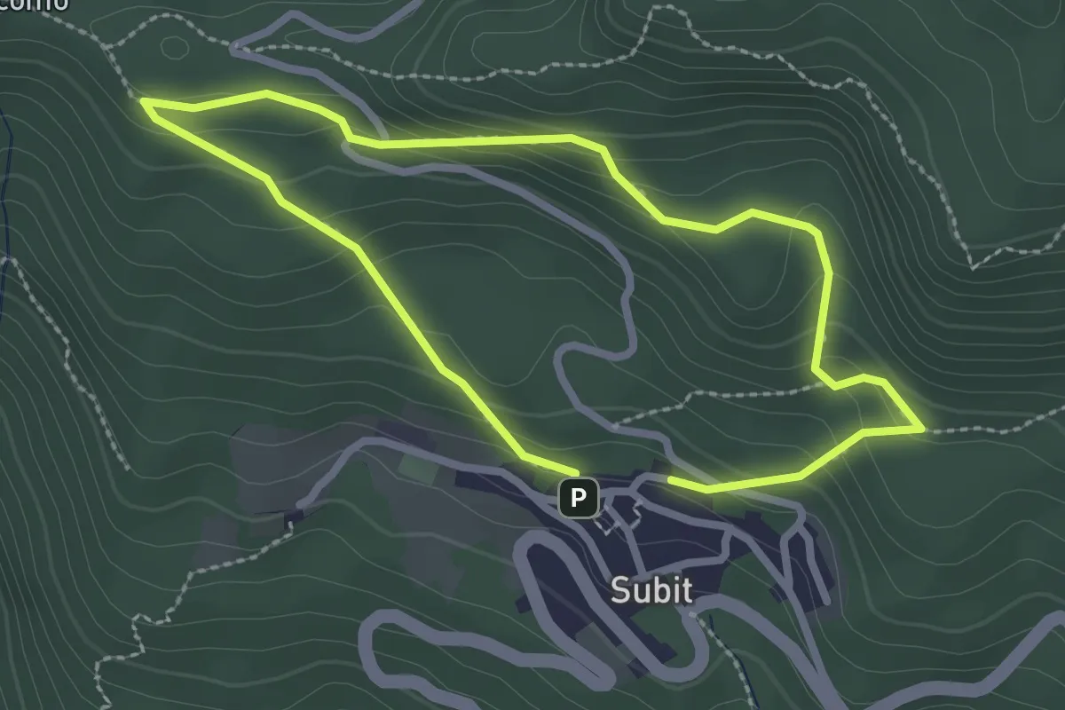
Easy · Trail
Sentiero della Strega
2.2 km · ↑ 142 m · 51 min · 9 km away
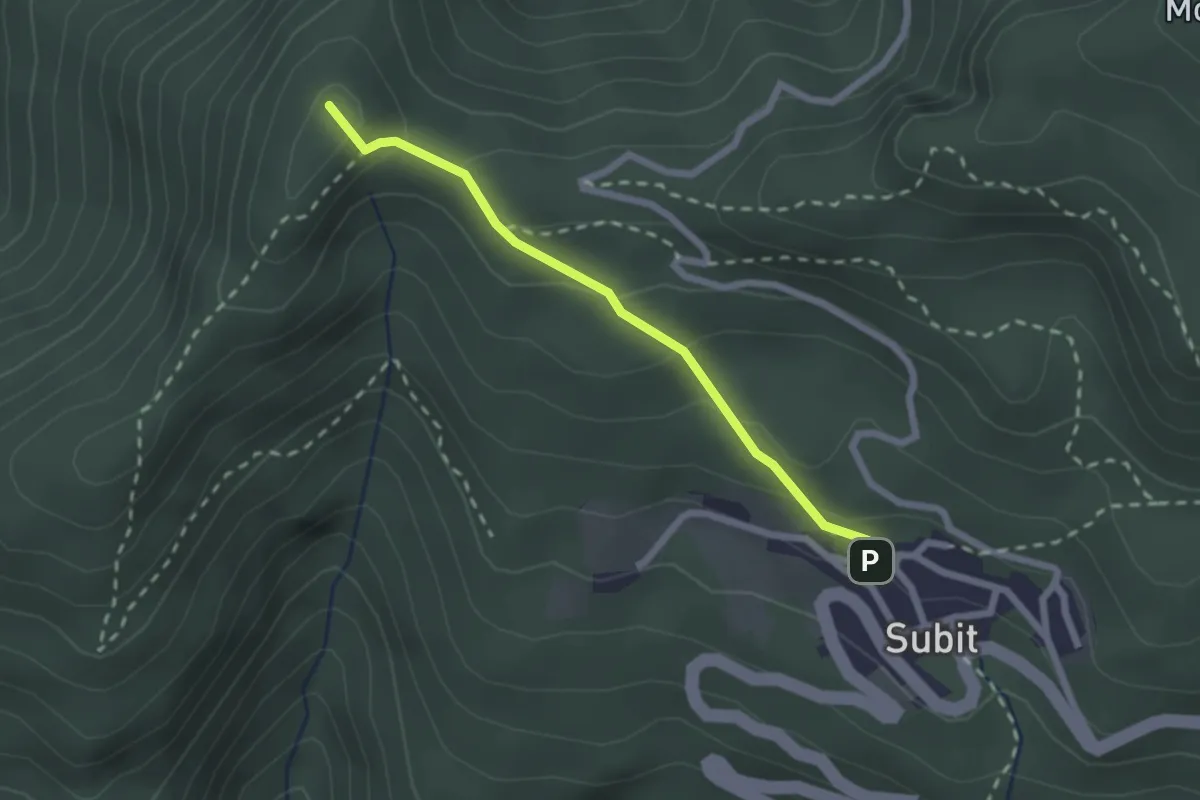
Easy · Summit
Sentiero delle piante agane - Le piante alimentari
2.1 km · ↑ 115 m · 44 min · 9 km away
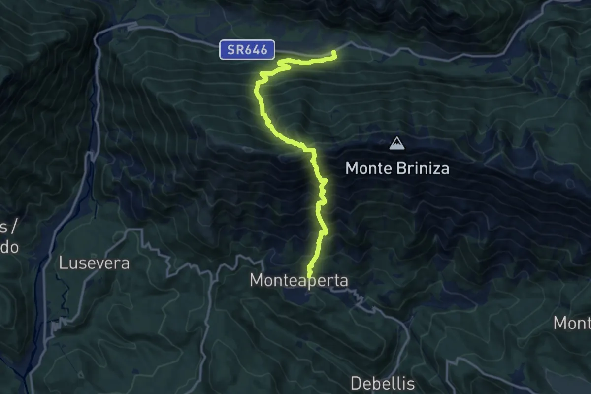
Demanding · Trail
S.R. 646 Tarcento – Uccea (quota 720 m) – Monteaperta (quota 608 m)
11.6 km · ↑ 1695 m · 6 h 24 min · 9 km away
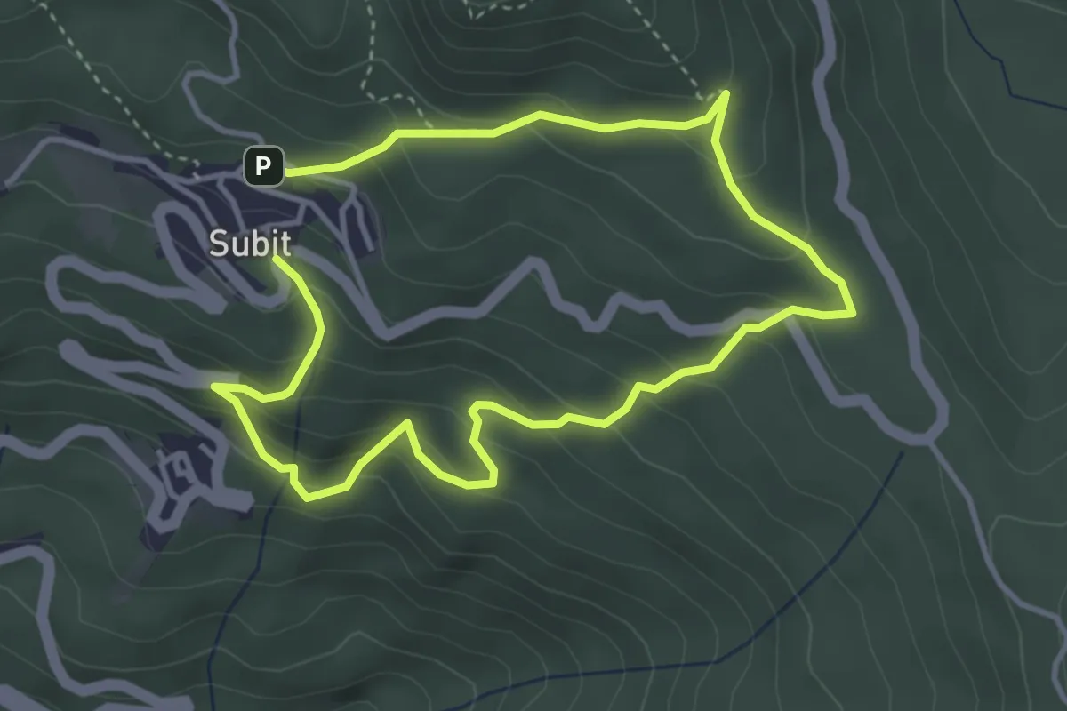
Medium · Trail
Anello 1: Sentiero dei Folletti-Piante Medicinali
6.4 km · ↑ 499 m · 2 h 35 min · 10 km away
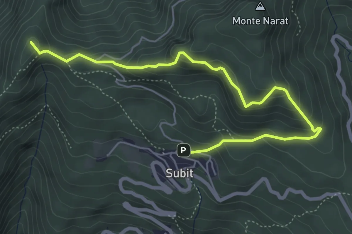
Medium · Summit
Anello 4: Sentiero Panoramico delle Cime
5.8 km · ↑ 349 m · 2 h 7 min · 10 km away
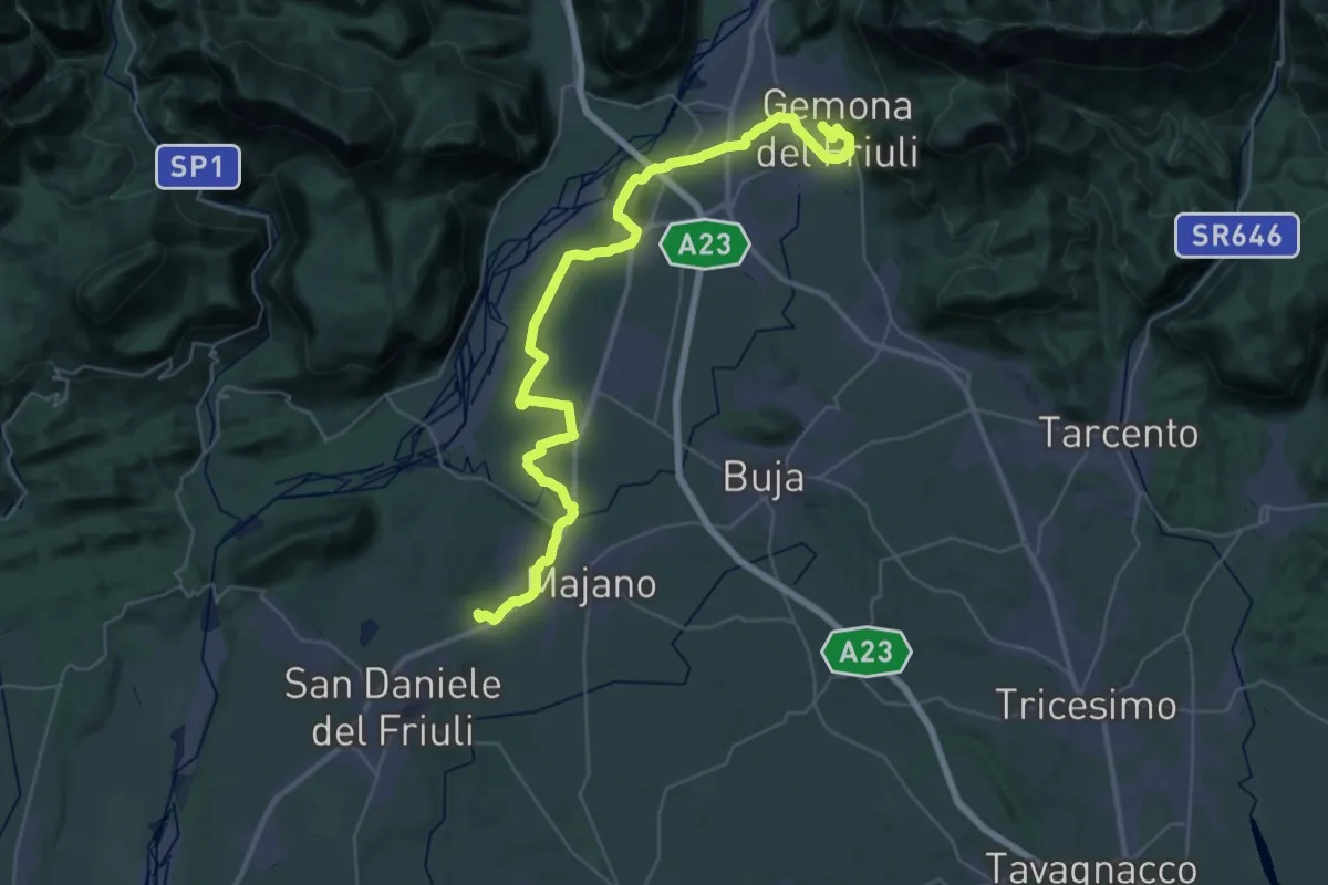
Demanding · Trail
Il Cammino di Sant'Antonio - Tappa 01G
23.1 km · ↑ 139 m · 6 h 6 min · 10 km away
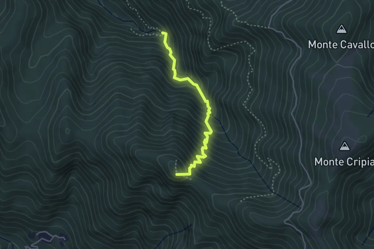
Demanding · Summit
Sentiero naturalistico dl Rio Gorgons
3.2 km · ↑ 411 m · 1 h 39 min · 10 km away
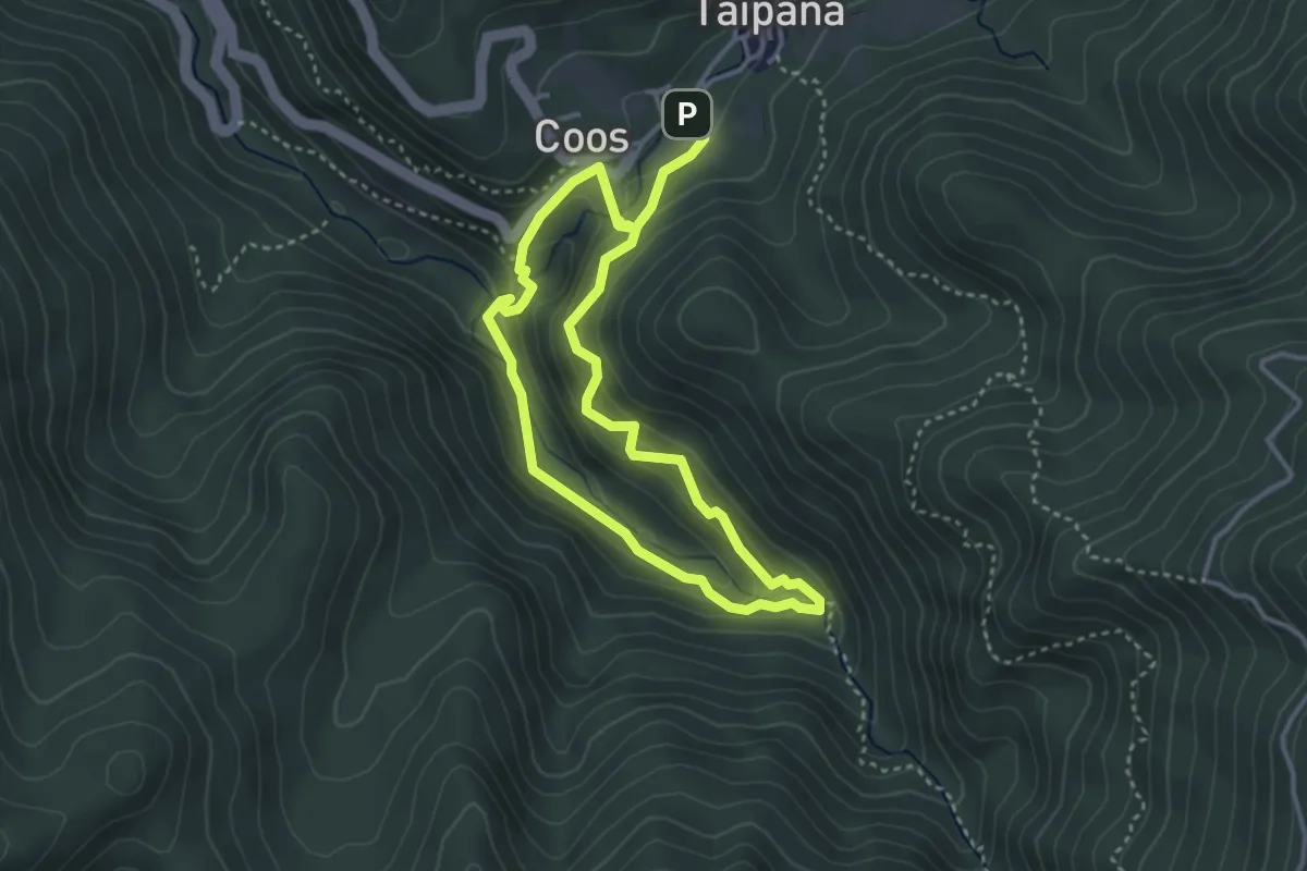
Demanding · Trail
Sentiero naturalistico Šeroka Dolina - Pod Malen
6.1 km · ↑ 419 m · 2 h 21 min · 10 km away
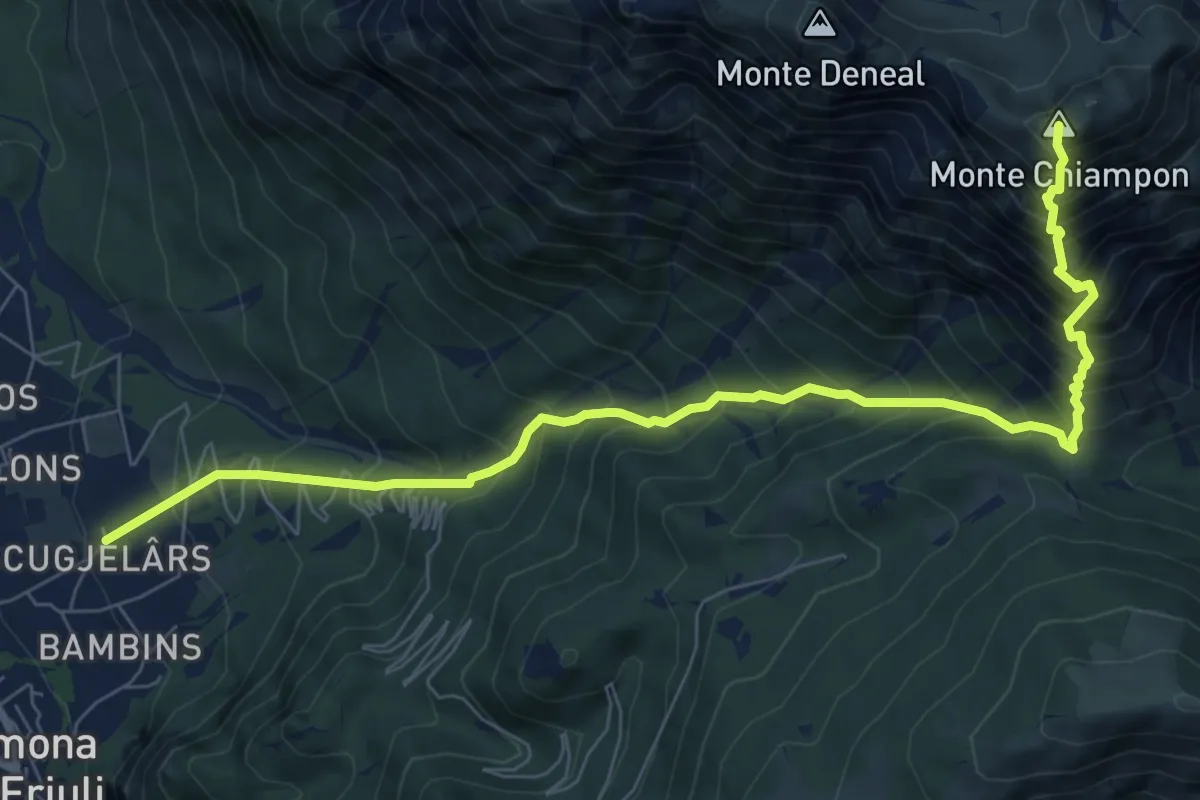
Demanding · Summit
Gemona – Località Scugjelârs (quota 370 m) – Forca di Ledis (quota 752 m)
9.0 km · ↑ 1349 m · 5 h 2 min · 10 km away
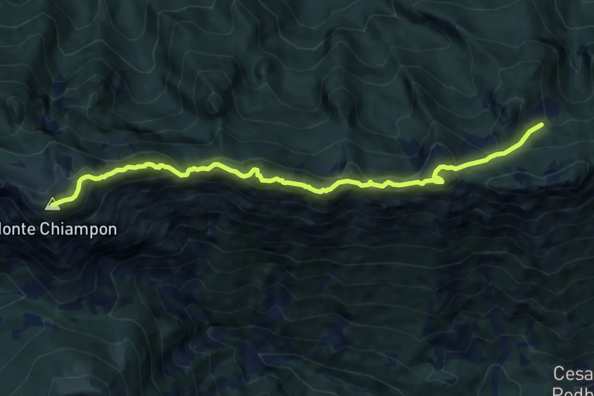
Expert · Summit
Alta Via C.A.I. Gemona
11.1 km · ↑ 1034 m · 4 h 52 min · 10 km away
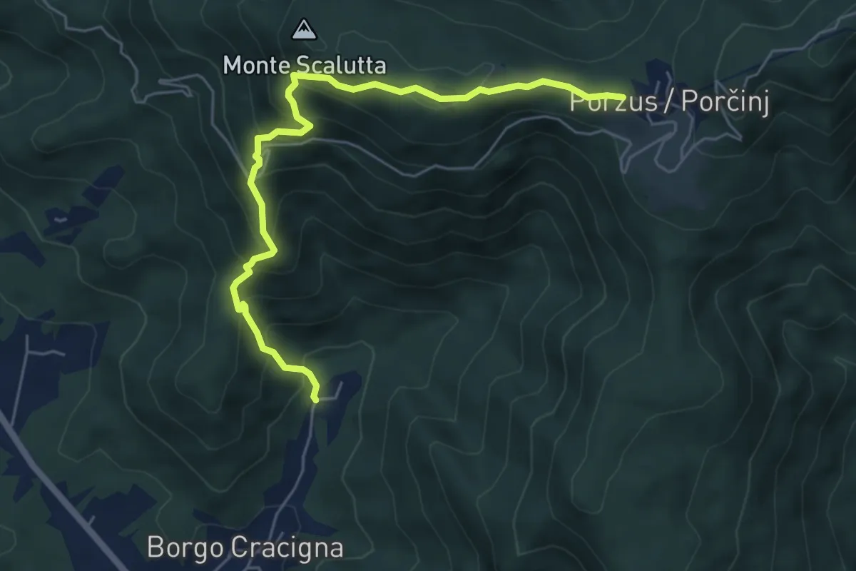
Medium · Trail
Sentiero della Comugna
5.8 km · ↑ 498 m · 2 h 27 min · 10 km away
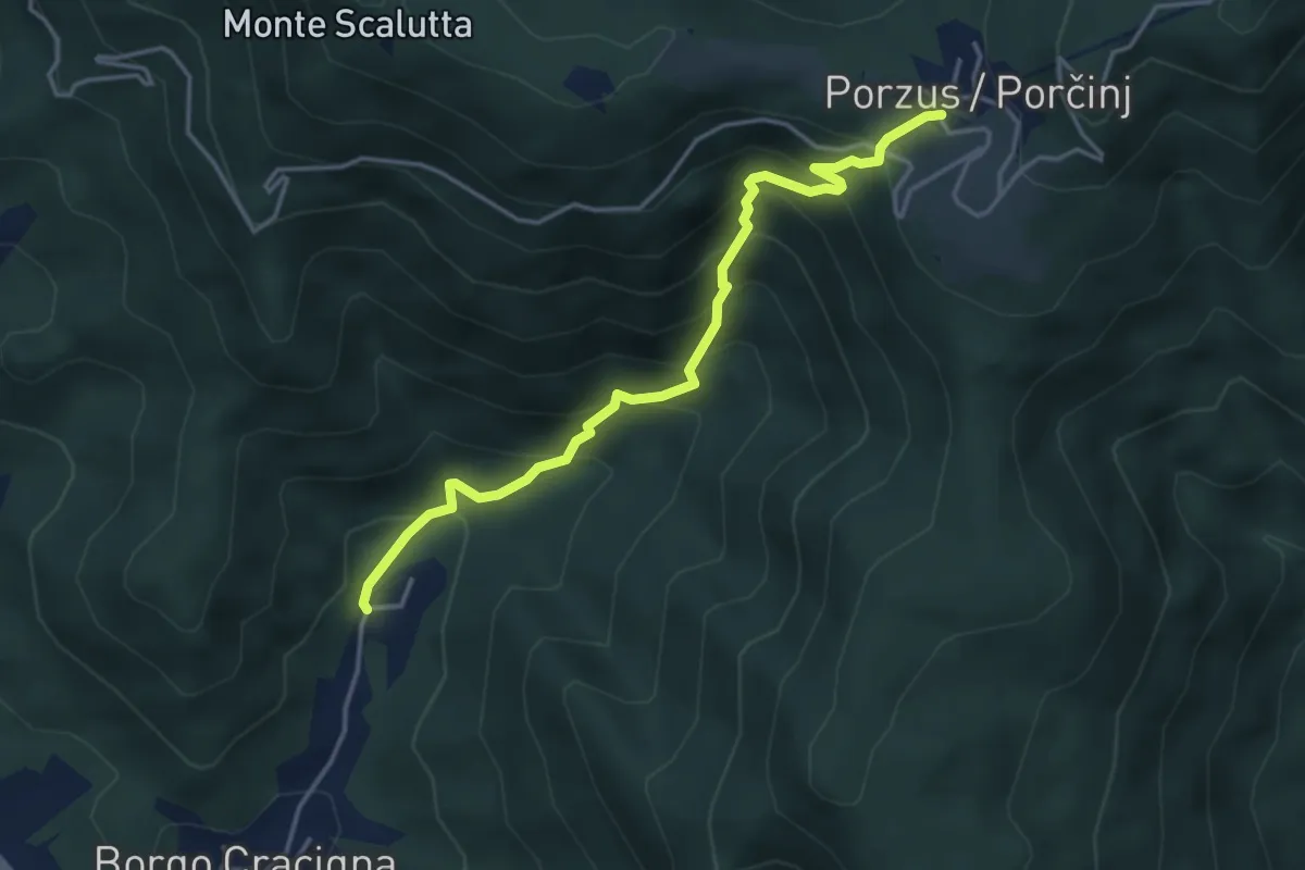
Medium · Trail
Sentiero del Pissebek
4.0 km · ↑ 460 m · 1 h 57 min · 10 km away
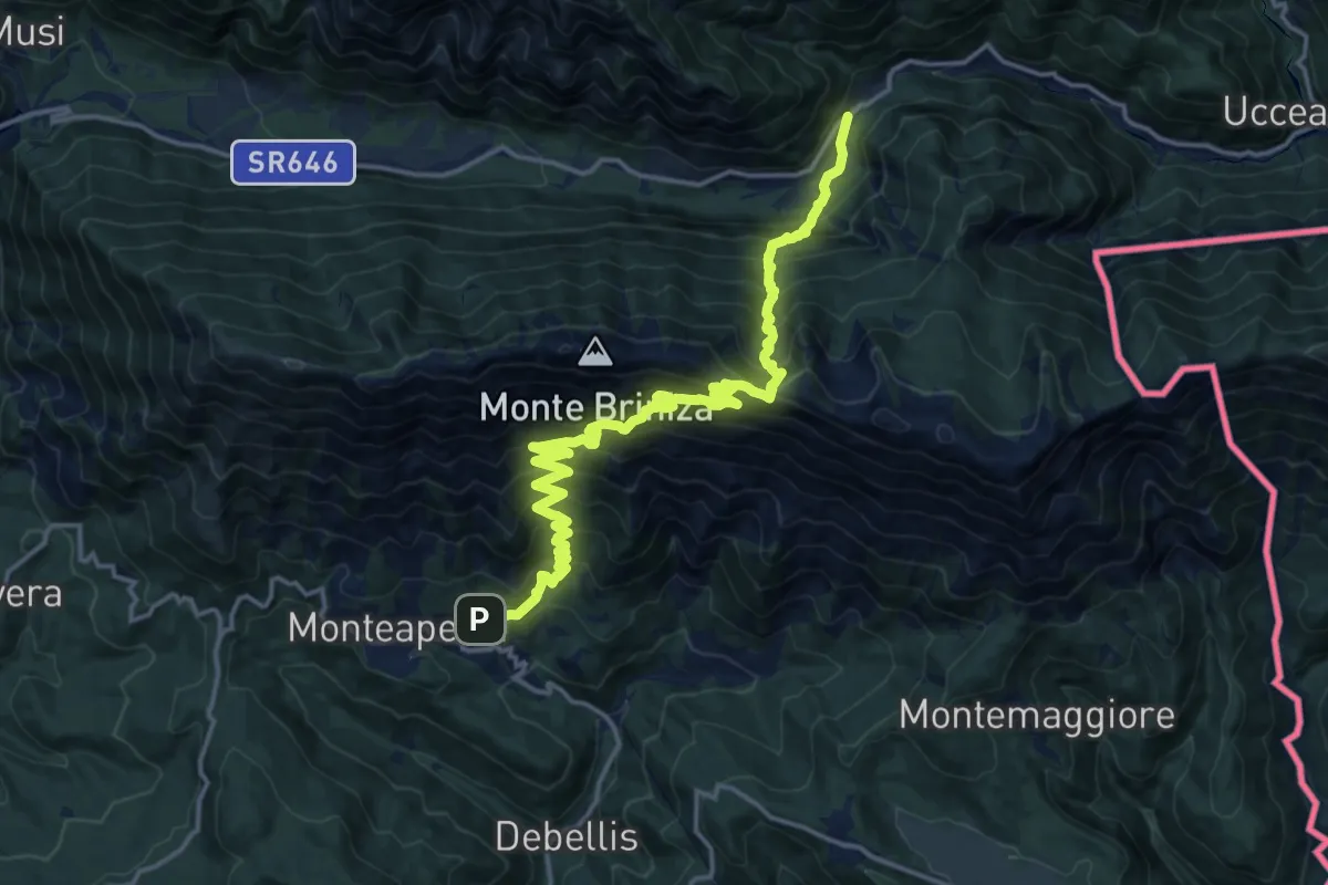
Demanding · Trail
Monteaperta (quota 608 m) – Passo Tanamea (quota 851 m)
9.7 km · ↑ 994 m · 4 h 27 min · 10 km away
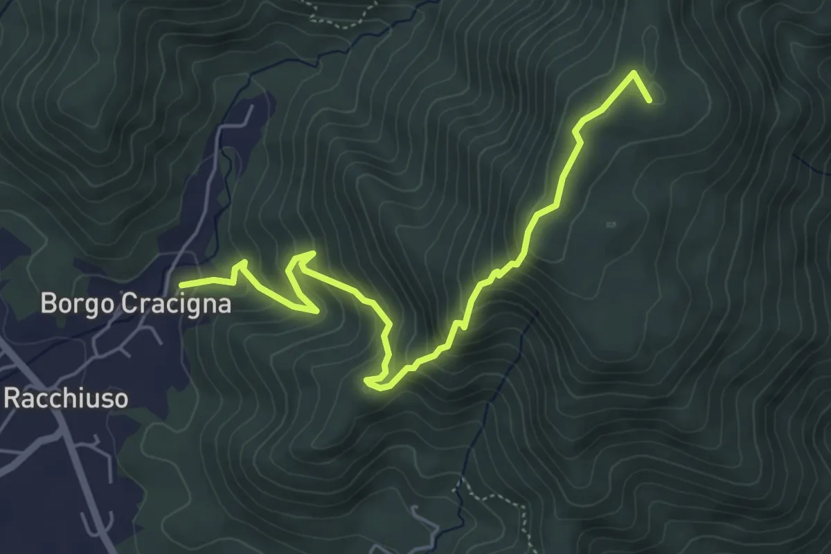
Medium · Summit
Sentiero del Monte di Poiana
5.6 km · ↑ 499 m · 2 h 24 min · 10 km away
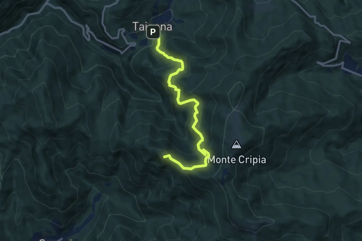
Demanding · Summit
Sentiero naturalistico Holuje - Kladja
8.6 km · ↑ 677 m · 3 h 30 min · 10 km away
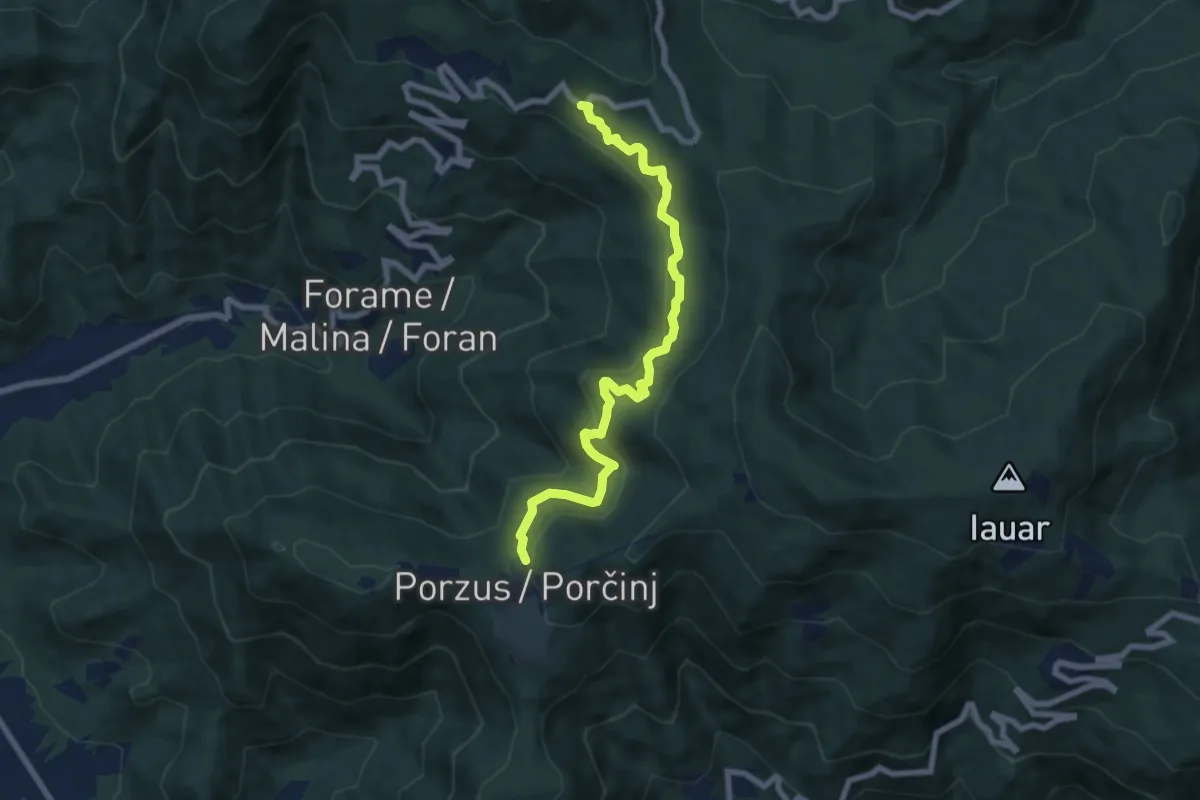
Medium · Trail
Sentiero della Sorgente Ocena
7.5 km · ↑ 465 m · 2 h 46 min · 10 km away
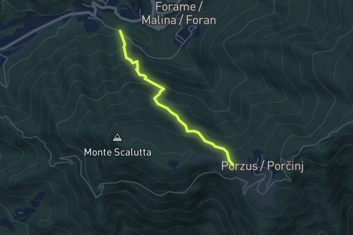
Medium · Trail
Sentiero Teresa Dush
3.8 km · ↑ 414 m · 1 h 47 min · 10 km away
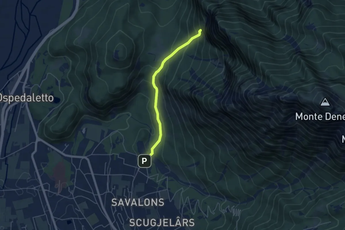
Easy · Trail
Sentiero del Ventaglio
4.3 km · ↑ 275 m · 1 h 37 min · 10 km away
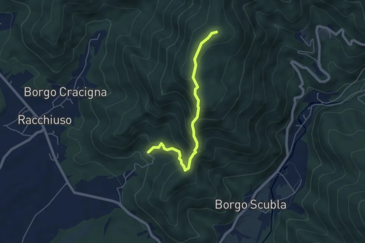
Medium · Summit
sentiero del crinale
4.4 km · ↑ 363 m · 1 h 49 min · 11 km away