Trails near Tarcento
106 hikes starting within 15 km, nearest first.
Nearest first, page 2 of 3
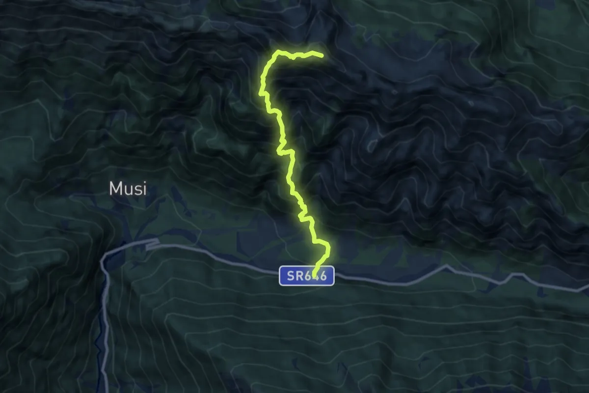
Expert · Summit
S.R. n. 646 Tarcento – Uccea (quota 691 m) – Sella Carnizza (quota 1086 m)
8.0 km · ↑ 1254 m · 4 h 36 min · 12 km away
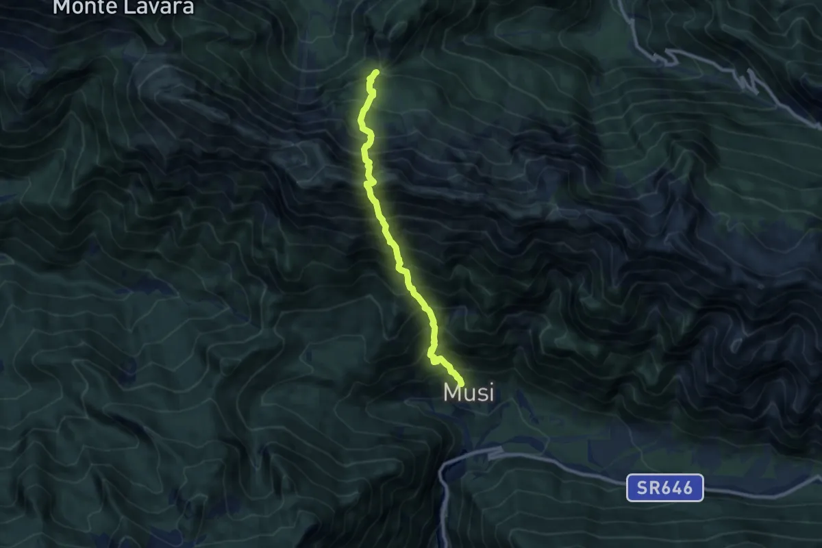
Expert · Trail
La Forchia Bivio sentiero n. 703 (quota 1192 m) – Tanataviele (quota 627 m)
8.0 km · ↑ 1580 m · 5 h 19 min · 12 km away
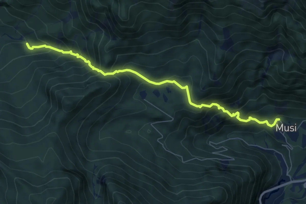
Medium · Trail
Tanataviele (quota 627 m) – Strada forestale Val Venzonassa (quota 717 m)
7.2 km · ↑ 730 m · 3 h 17 min · 12 km away
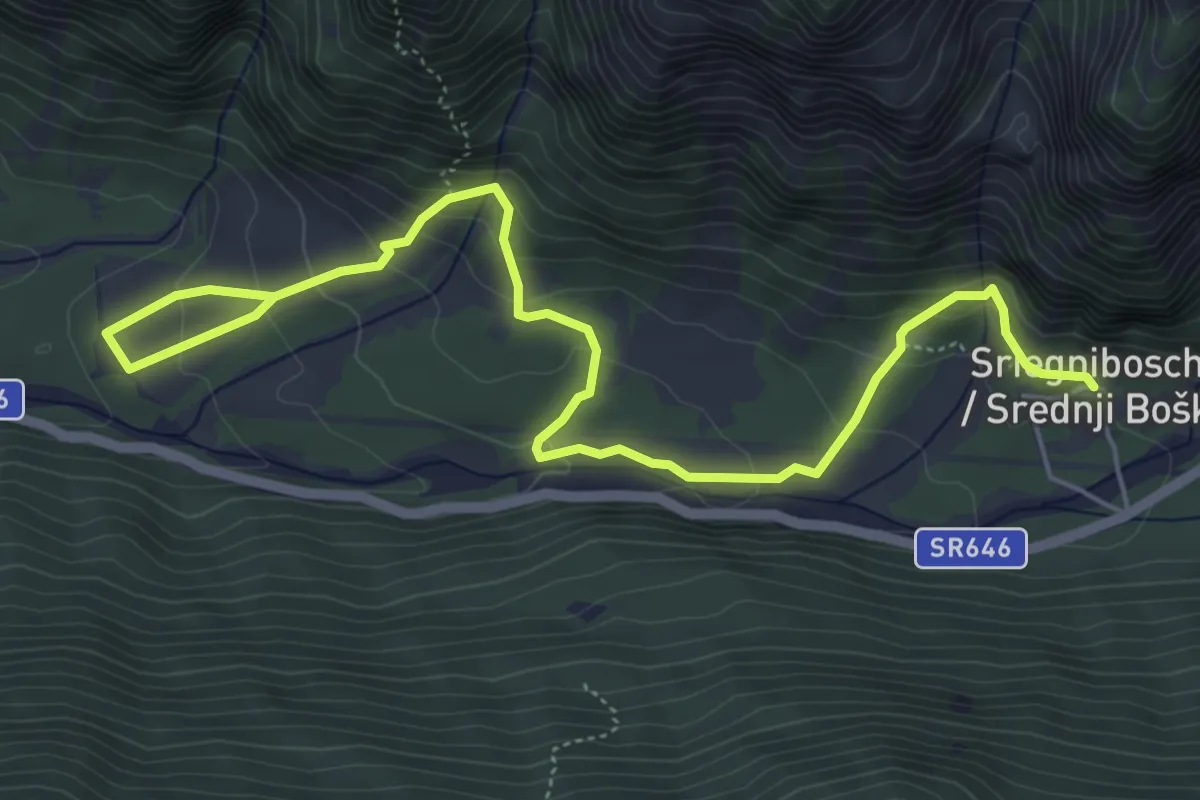
Medium · Trail
Sentiero Natura Valle Musi
7.0 km · ↑ 391 m · 2 h 30 min · 12 km away
Medium · Trail
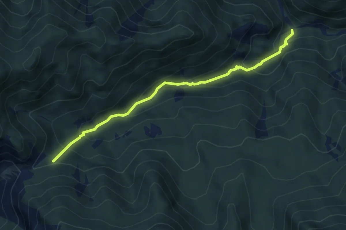
Bivio sentiero n.708 – Chiesetta di Ledis (quota 730 m) – Bivio sentiero n. 704 (quota 600 m)
4.8 km · ↑ 322 m · 1 h 50 min · 12 km away
Medium · Summit
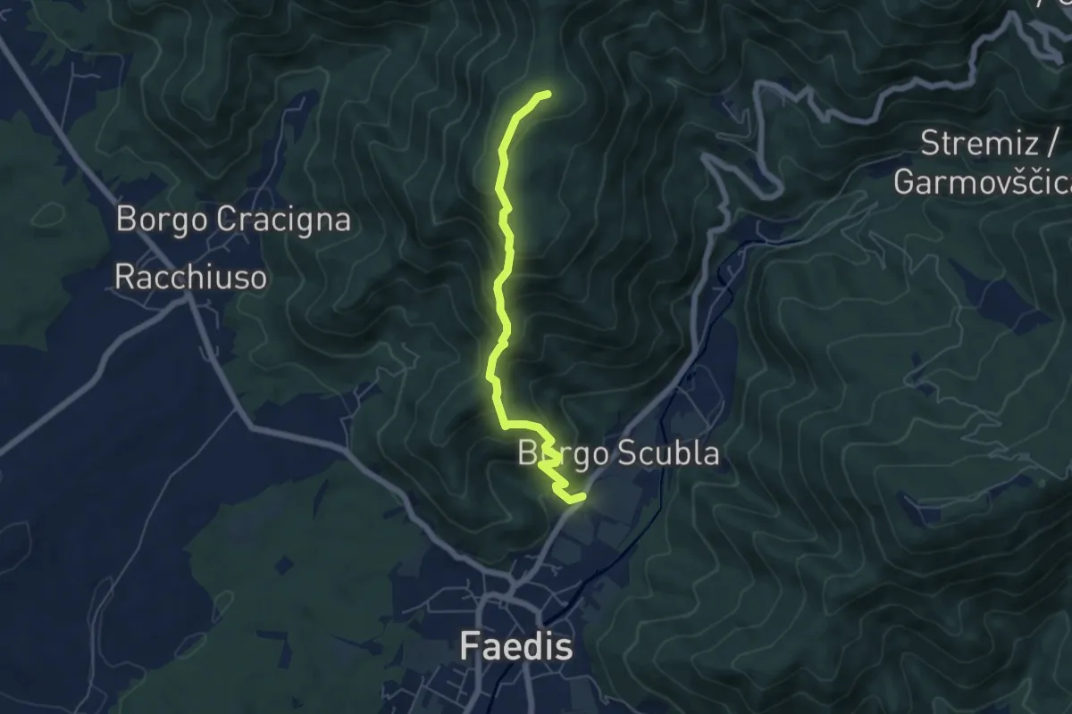
Sentiero dei castelli di Faedis
5.3 km · ↑ 421 m · 2 h 9 min · 12 km away
Demanding · Summit
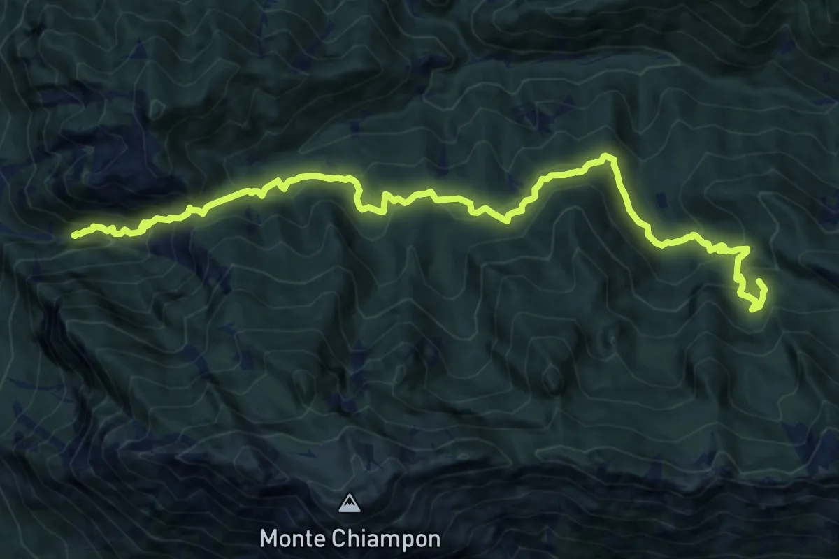
Venzone – Rivoli Bianchi (quota 364 m) – Forcella Tacia (quota 1089 m)
15.9 km · ↑ 1279 m · 6 h 32 min · 12 km away
Medium · Summit
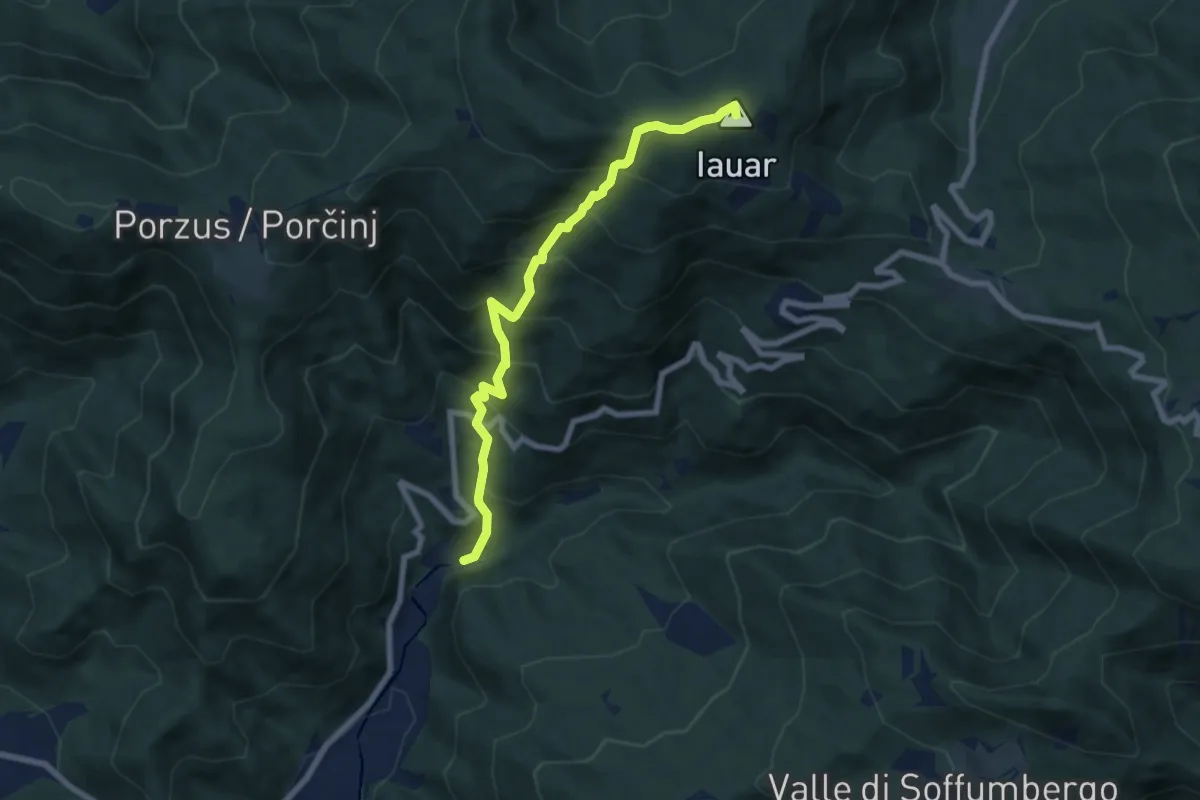
Percorso per le Malghe di Porzus
7.1 km · ↑ 753 m · 3 h 18 min · 12 km away
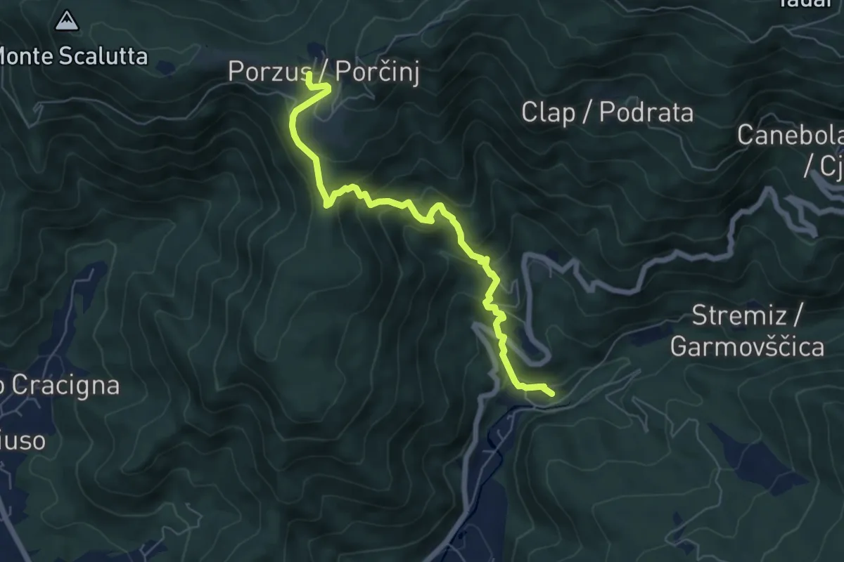
Medium · Trail
Canal del Grivò - Porzûs
6.2 km · ↑ 521 m · 2 h 36 min · 12 km away
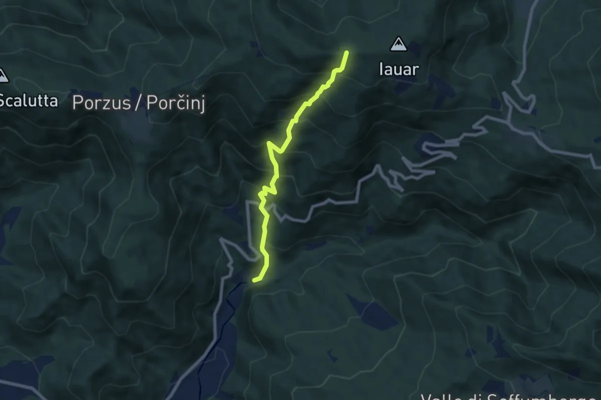
Medium · Trail
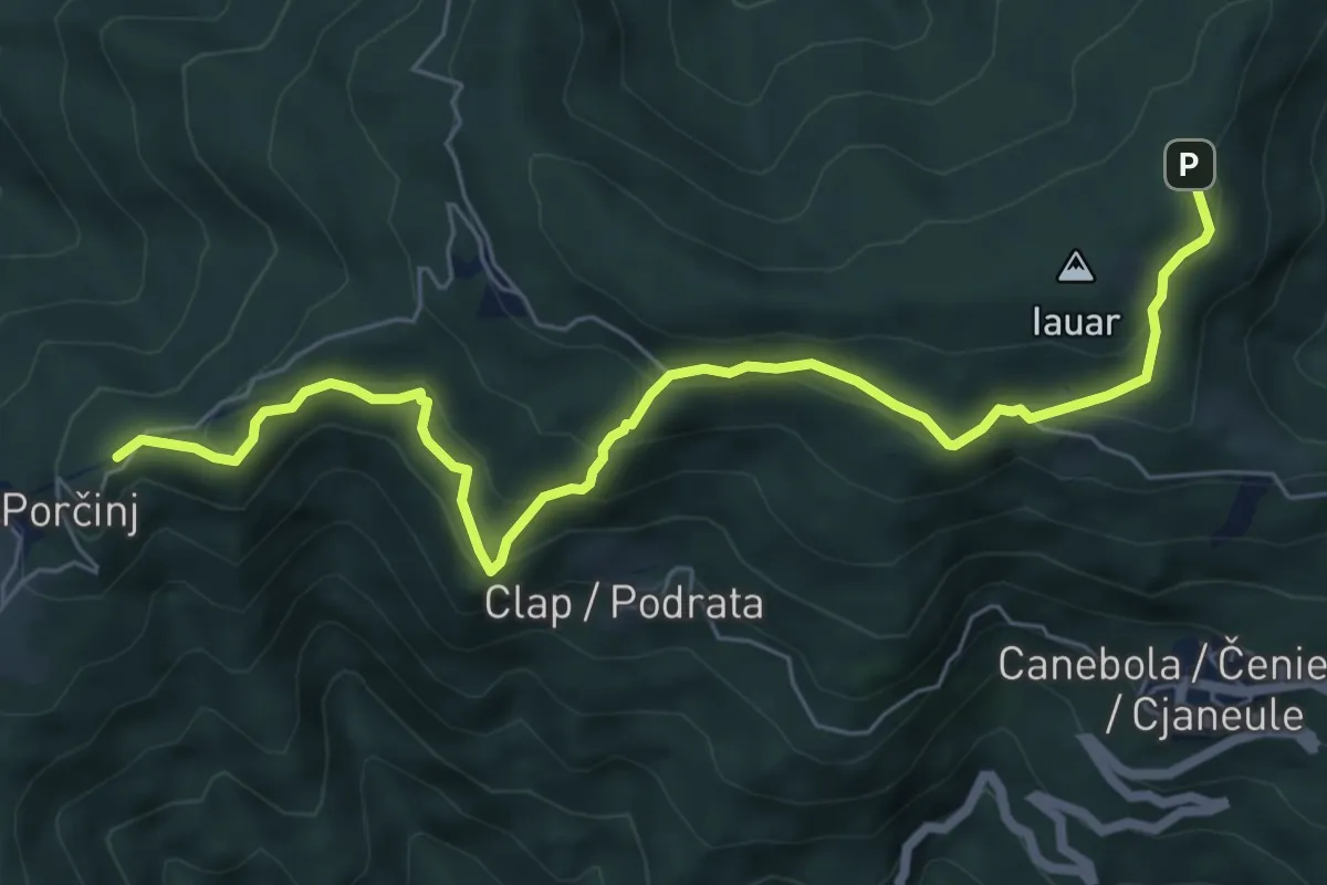
Sentiero di Clap
6.0 km · ↑ 725 m · 2 h 59 min · 12 km away
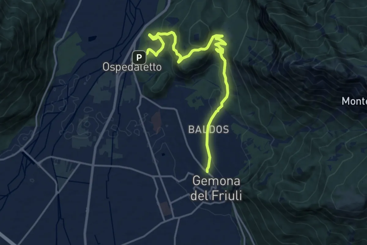
Medium · Trail
Romea Strata in Italia - Tappa RSIT04var
13.8 km · ↑ 607 m · 4 h 34 min · 12 km away
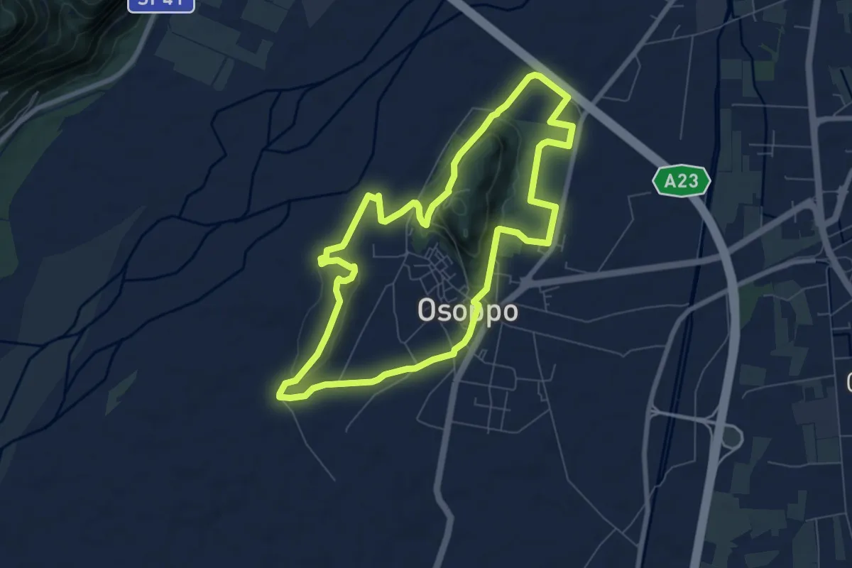
Medium · Trail
Sede del C.A.I. (quota 180 m) – Sede del C.A.I. (quota 180 m)
7.3 km · ↑ 131 m · 2 h 7 min · 12 km away
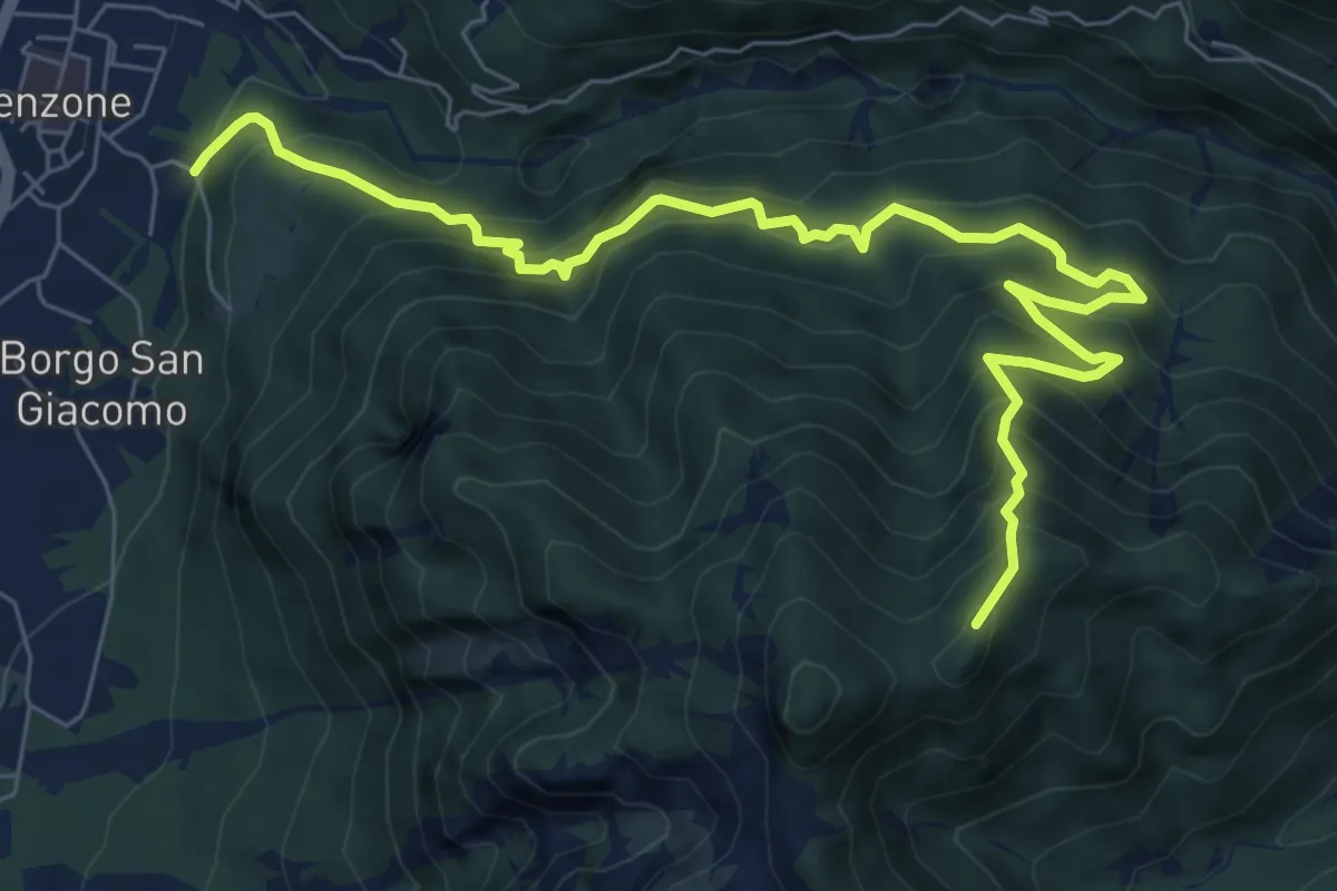
Demanding · Trail
Sentiero Monte Bedede
8.9 km · ↑ 986 m · 4 h 14 min · 13 km away
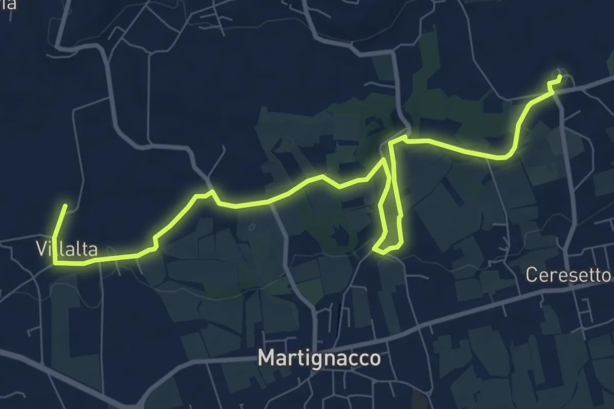
Medium · Trail
The castle and water mill route
10.3 km · ↑ 106 m · 2 h 40 min · 13 km away
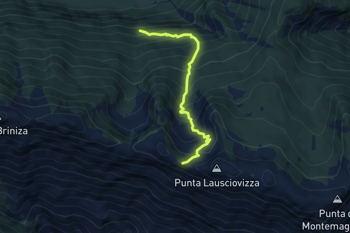
Medium · Trail
Incrocio sentiero 711 (quota 1025 m) – Ricovero Montemaggiore (quota 1468 m) Incrocio sentiero 742 (quota 1554 m)
4.6 km · ↑ 525 m · 2 h 13 min · 13 km away
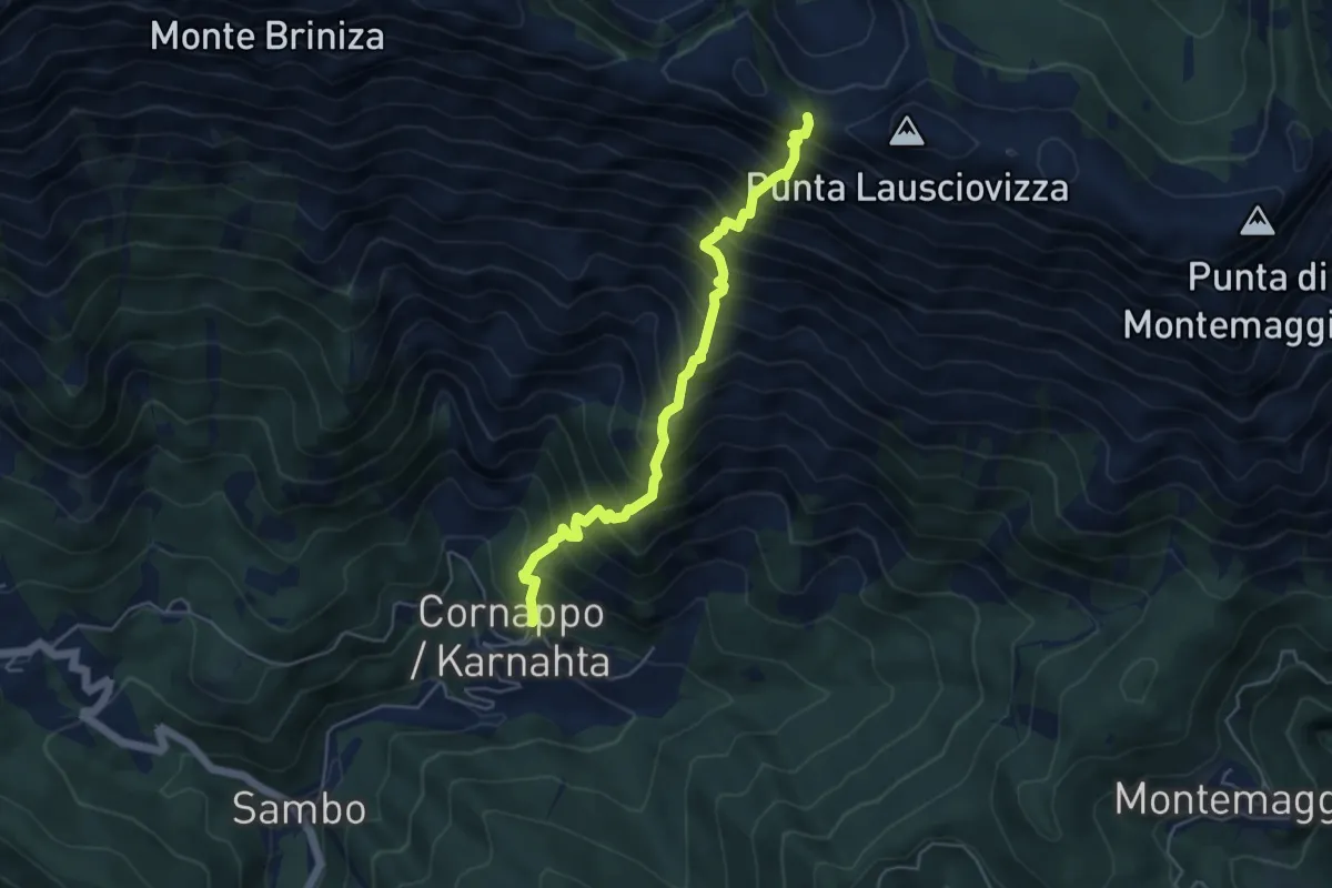
Demanding · Trail
Direttissima al Gran Monte
4.9 km · ↑ 996 m · 3 h 19 min · 13 km away
Medium · Summit
Sentiero Porzûs - Malghe di Porzûs
7.2 km · ↑ 457 m · 2 h 42 min · 13 km away
Demanding · Summit
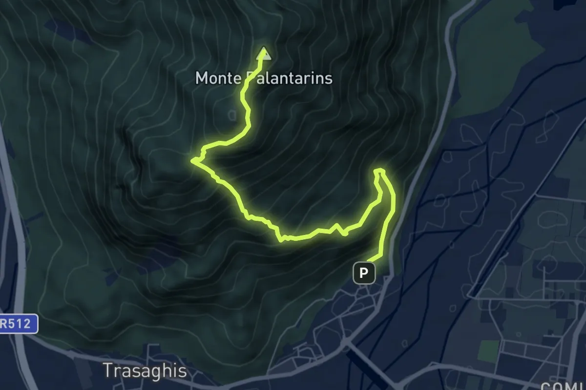
Braulins (quota 210 m) – Interneppo (quota 270 m)
7.1 km · ↑ 904 m · 3 h 38 min · 13 km away
Demanding · Summit
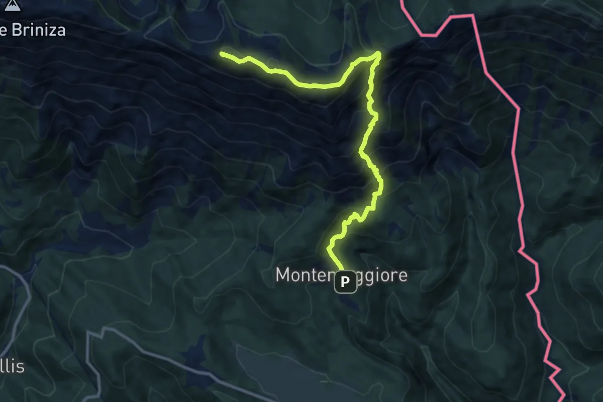
P.so Tanamea – Montemaggiore/Gh.
9.9 km · ↑ 924 m · 4 h 20 min · 13 km away
Demanding · Summit
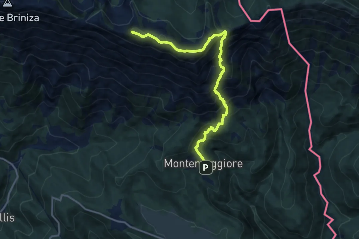
Sella Carnizza – Montemaggiore di Taipana
9.9 km · ↑ 916 m · 4 h 19 min · 13 km away
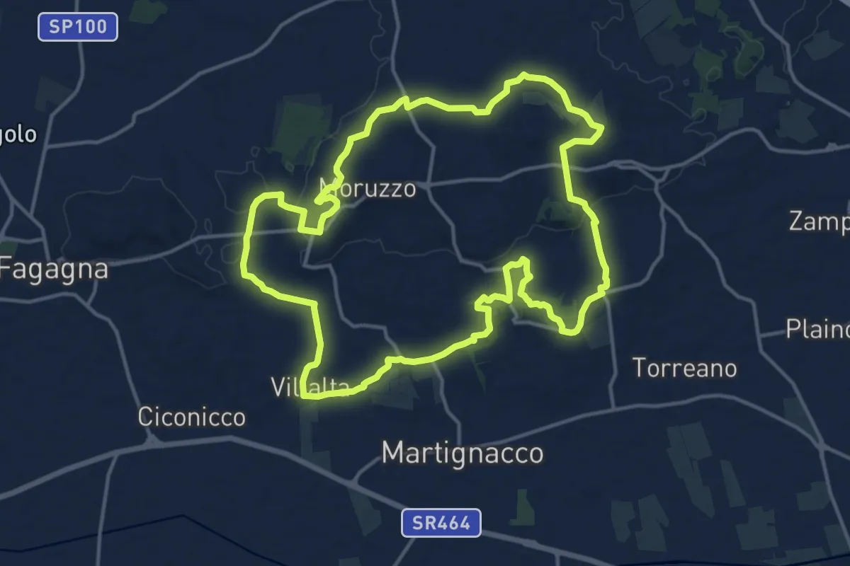
Medium · Trail
Sentiero Stringher Tacoli
14.6 km · ↑ 202 m · 4 h 6 min · 13 km away
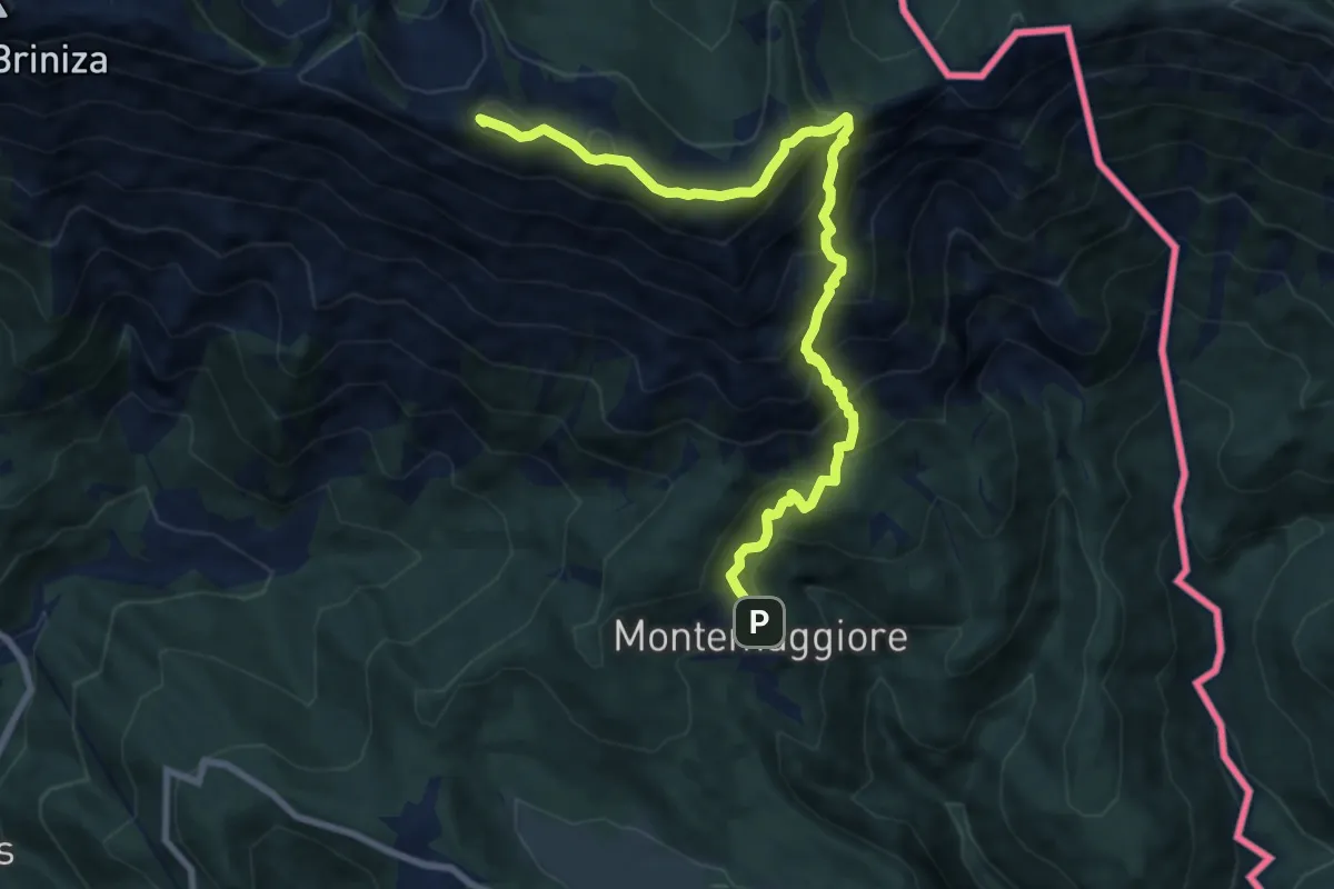
Demanding · Summit
Via Alpina Yellow B9
9.5 km · ↑ 914 m · 4 h 13 min · 13 km away
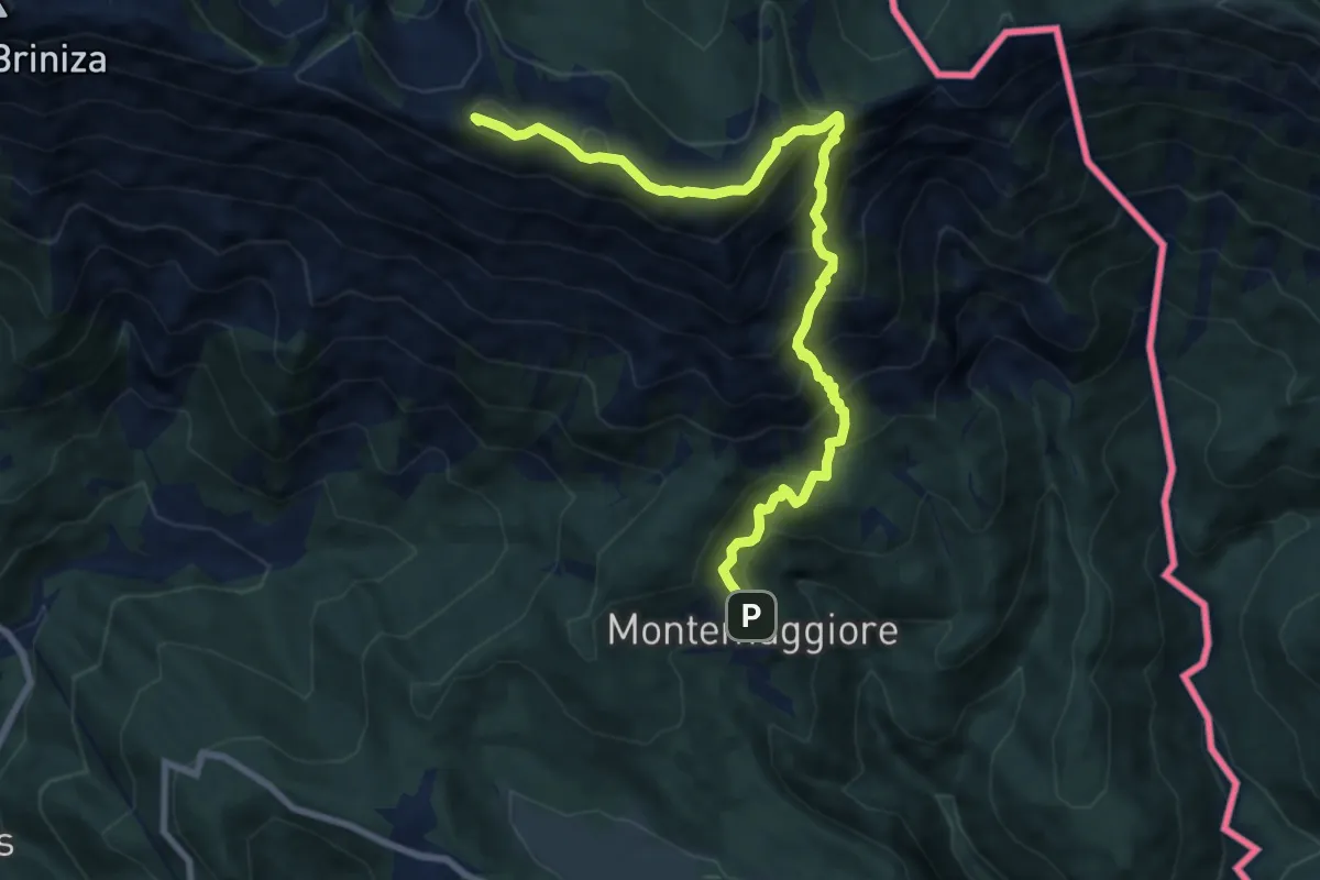
Demanding · Summit
Montemaggiore (quota 793 m) – Bivio sentiero 711 (quota 1529 m)
9.5 km · ↑ 914 m · 4 h 13 min · 13 km away
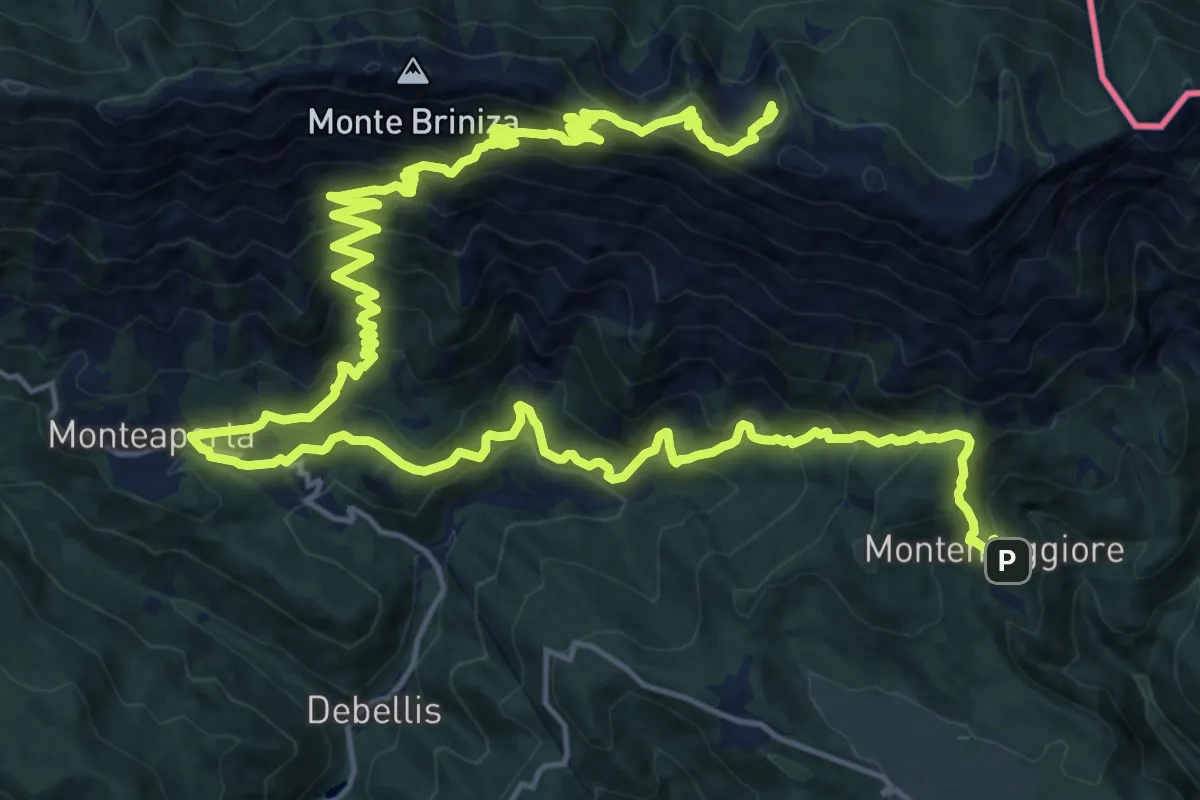
Demanding · Cabin
Cammino Celeste Italia - 6 Montemaggiore - Rifugio A.N.A.
15.3 km · ↑ 1409 m · 6 h 32 min · 13 km away
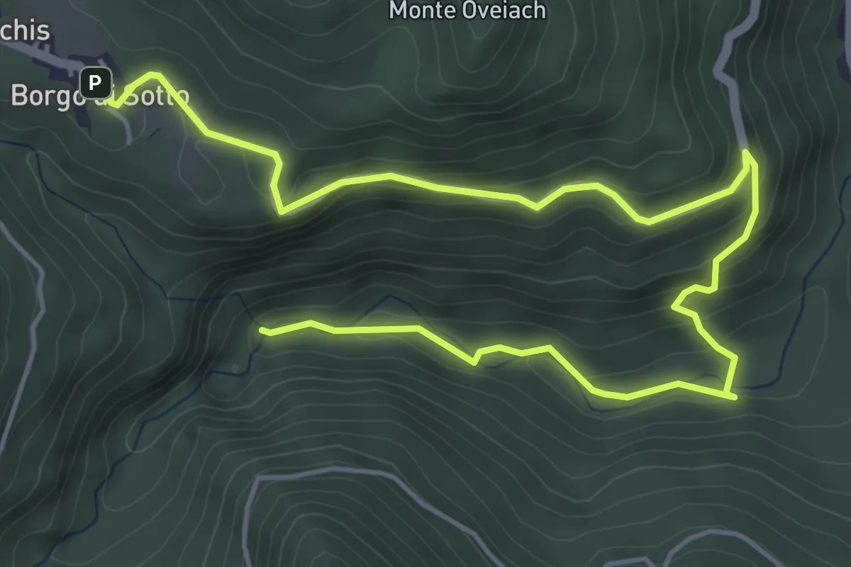
Medium · Trail
Sentiero Naturalistico "Cascate Cukula"
6.9 km · ↑ 324 m · 2 h 19 min · 13 km away
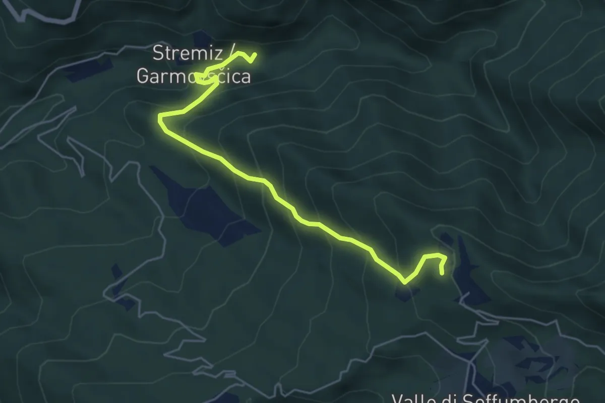
Medium · Trail
Sentiero Canal di Grivò
5.1 km · ↑ 457 m · 2 h 11 min · 13 km away
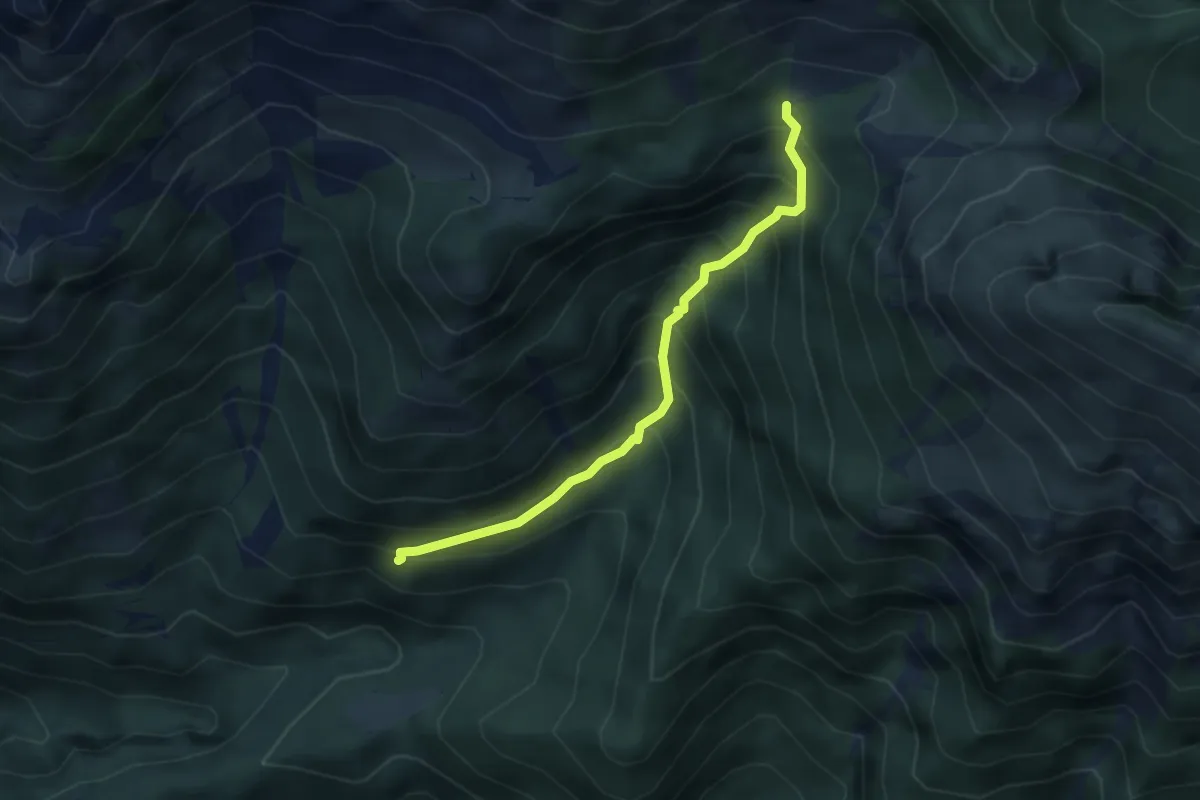
Medium · Trail
Borgo Prabunello (quota 900 m) – Bivio sentiero n. 726 (quota 1309 m)
3.5 km · ↑ 441 m · 1 h 47 min · 13 km away
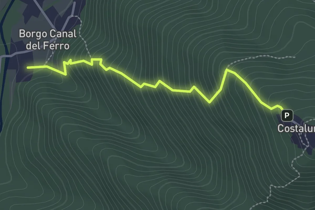
Medium · Trail
Sentiero di Costalunga
2.9 km · ↑ 386 m · 1 h 31 min · 13 km away
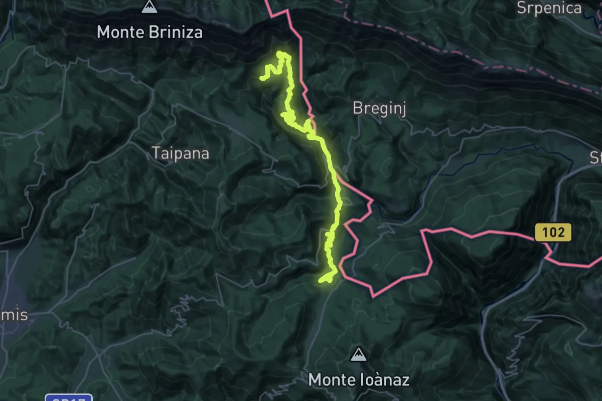
Demanding · Summit
Cammino Celeste Italia - 5 Masarolis - Montemaggiore
28.5 km · ↑ 1437 m · 9 h 51 min · 13 km away
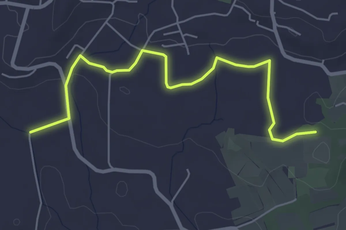
Easy · Trail
Sentiero del Tempo
5.3 km · ↑ 61 m · 1 h 22 min · 13 km away
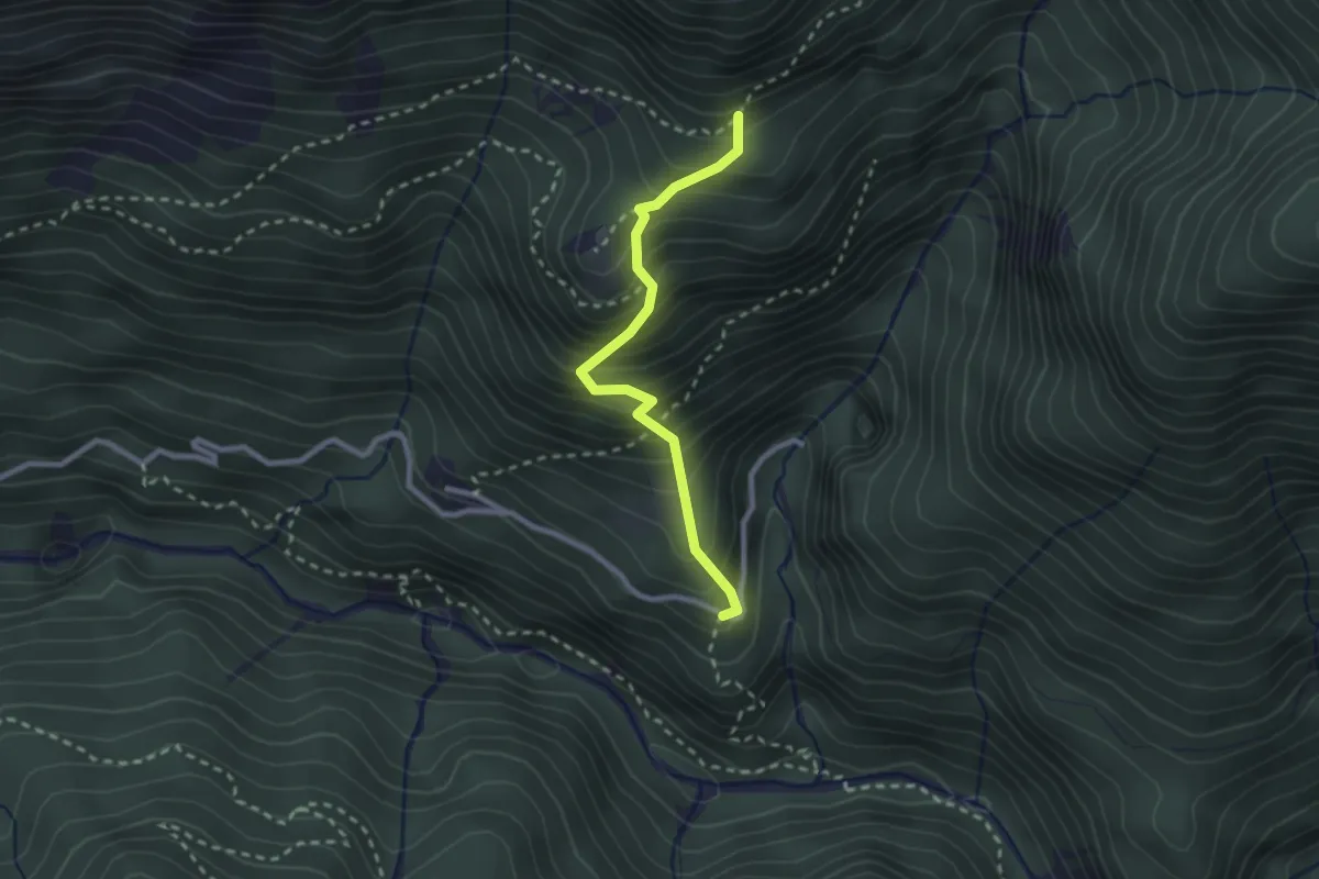
Medium · Trail
Borgo Costa (quota 534 m) – Bivio sentiero n. 705 (quota 885 m)
2.3 km · ↑ 384 m · 1 h 23 min · 13 km away
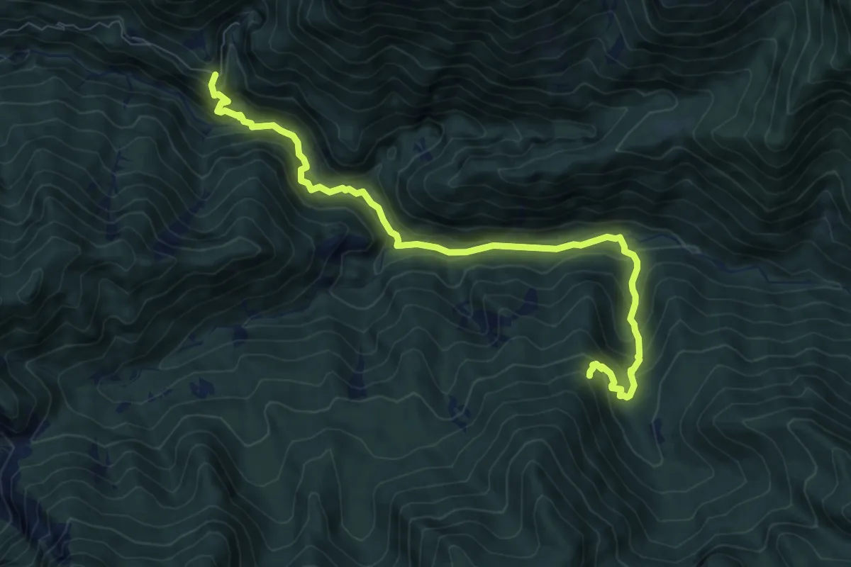
Medium · Trail
Rotabile Val Venzonassa (curva Del Gran Rio 3.5 km da Venzone) (quota 525 m) – Bivio sentiero n. 708 (quota 800 m)
9.1 km · ↑ 692 m · 3 h 39 min · 13 km away
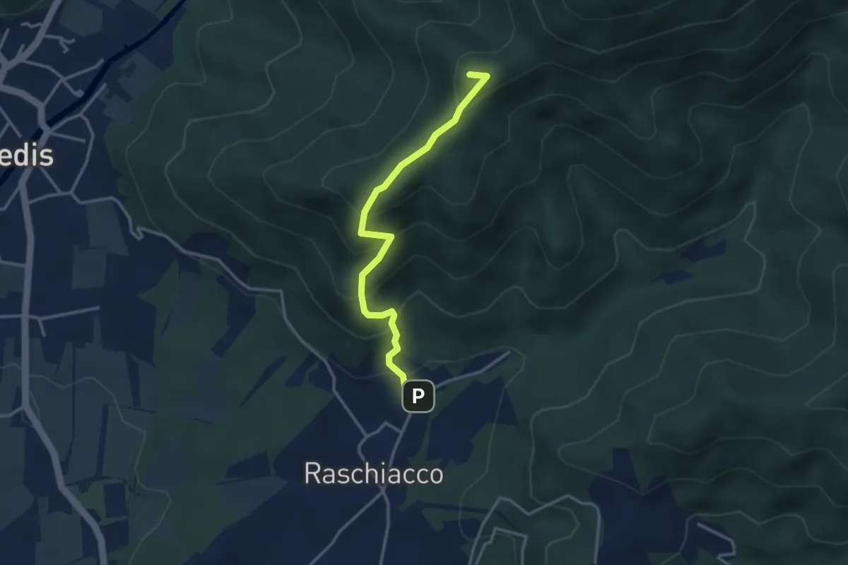
Easy · Summit
Raschiacco – Costalunga
3.2 km · ↑ 280 m · 1 h 21 min · 14 km away
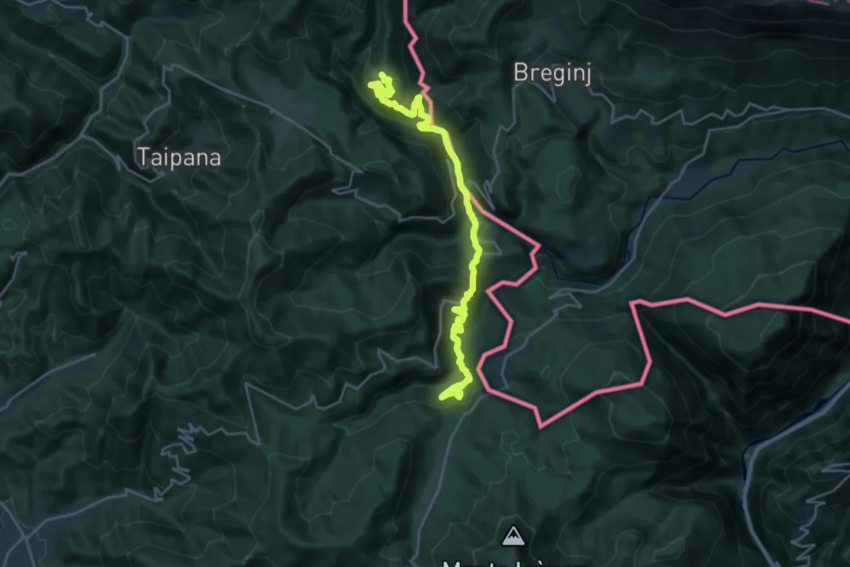
Demanding · Summit
Montemaggiore di Taipana (quota 795 m) / Brezje – Montefosca (quota 720 m) / Čàrni Vàrh
20.2 km · ↑ 966 m · 6 h 52 min · 14 km away
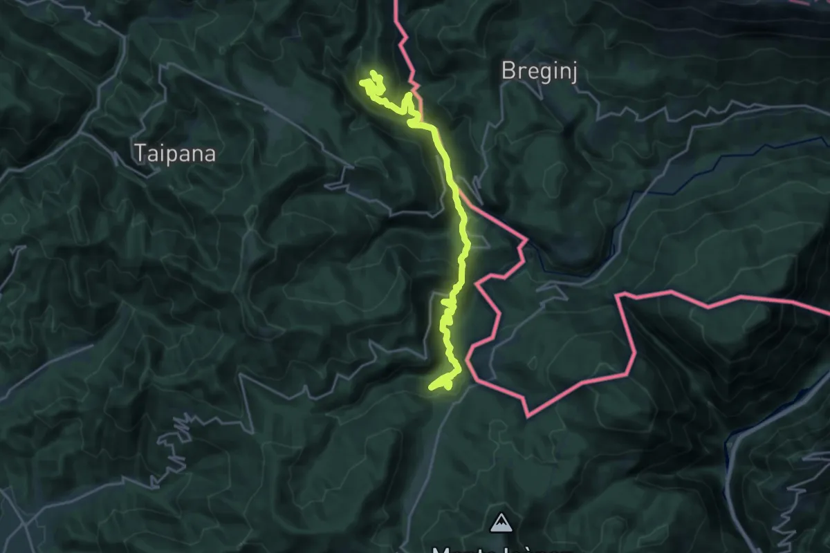
Demanding · Summit
Via Alpina Yellow B8
20.2 km · ↑ 966 m · 6 h 52 min · 14 km away
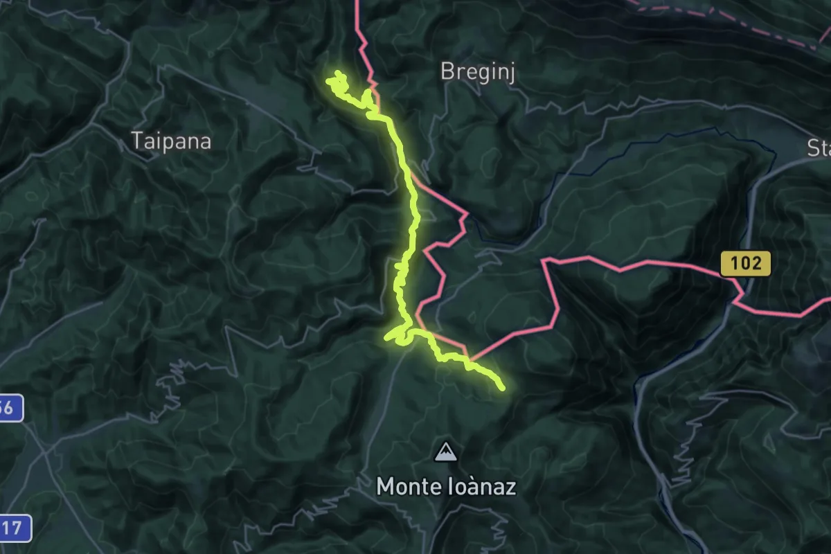
Medium · Summit
JK15
13.5 km · ↑ 773 m · 4 h 58 min · 14 km away
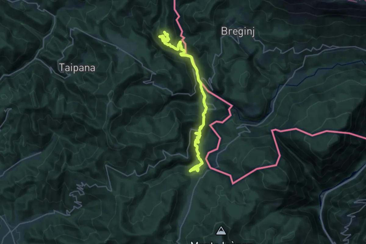
Demanding · Summit
Hst. Loch – Montegaggiore/Gh.
20.2 km · ↑ 992 m · 6 h 55 min · 14 km away
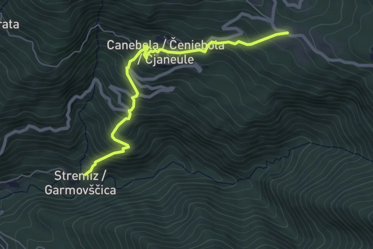
Medium · Trail
Sentiero di Canebola
5.1 km · ↑ 477 m · 2 h 14 min · 14 km away
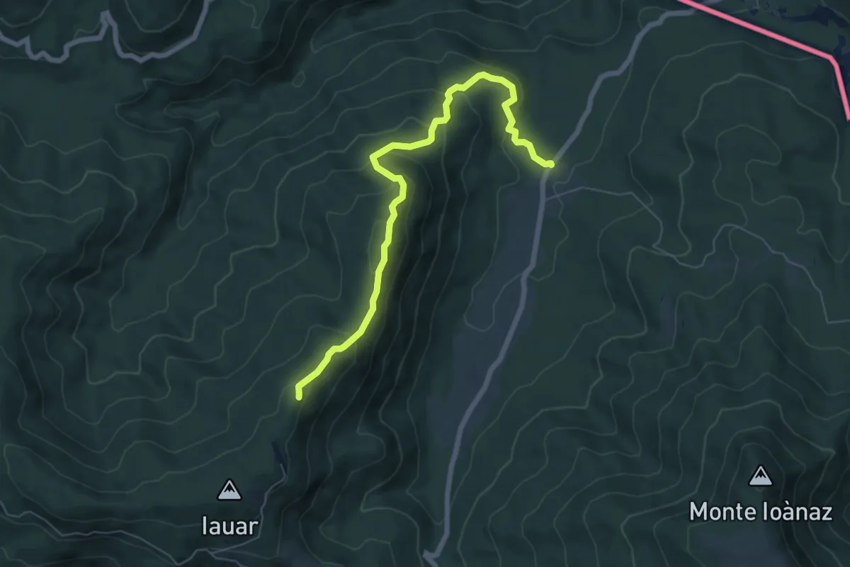
Medium · Summit
malghe di Porzûs – Forcadizze
6.6 km · ↑ 397 m · 2 h 25 min · 14 km away
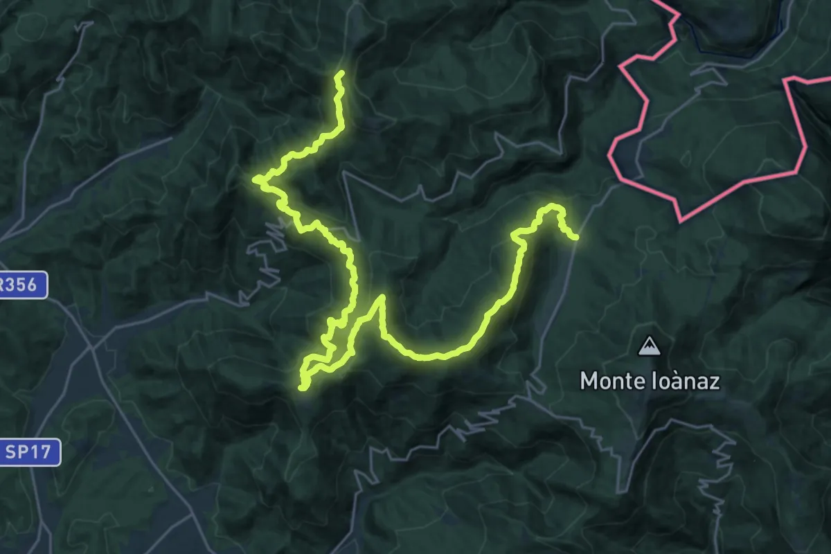
Demanding · Summit
Cammino Mariano
33.4 km · ↑ 1878 m · 11 h 57 min · 14 km away
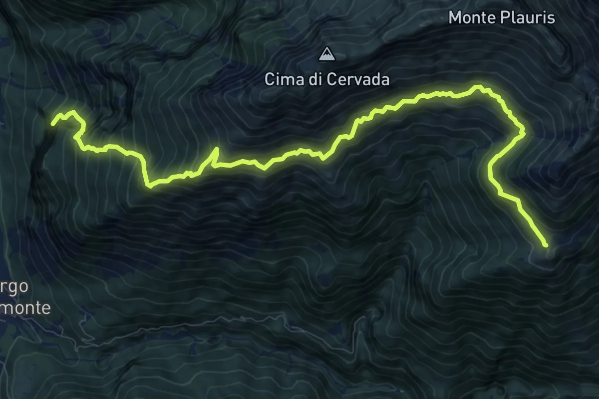
Demanding · Summit
SS13 Portis (quota 250 m) – Casera Ungarina (quota 1298 m)
13.3 km · ↑ 1693 m · 6 h 49 min · 14 km away
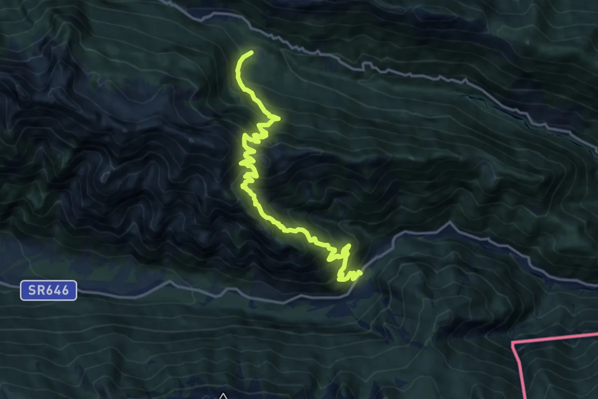
Demanding · Trail
Passo Tanamea (quota 851 m) – Sant’ Anna di Carnizza (quota 1077 m)
13.8 km · ↑ 1507 m · 6 h 31 min · 14 km away
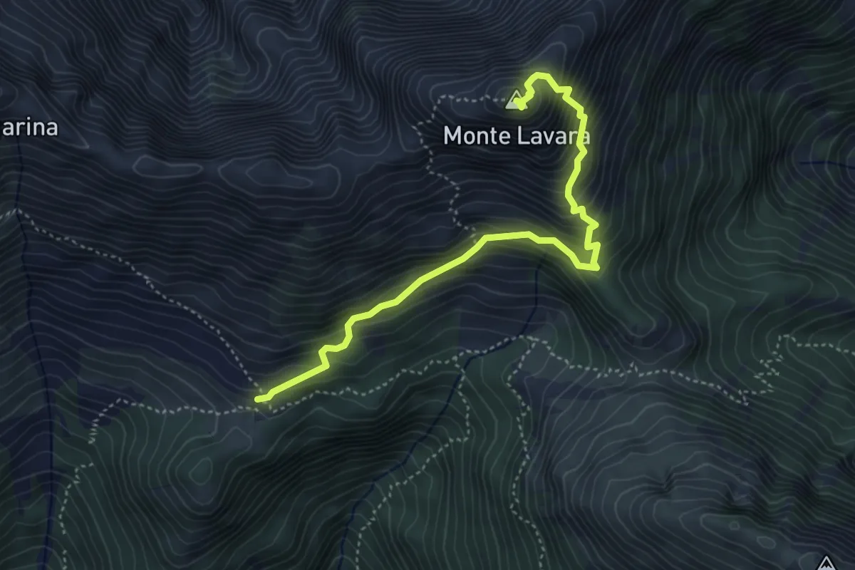
Expert · Summit
Anello del monte Lavara
4.6 km · ↑ 595 m · 2 h 23 min · 14 km away
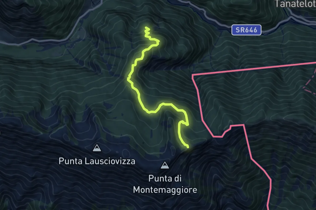
Medium · Trail
Sentiero Naturalistico dello Starmaz
7.5 km · ↑ 530 m · 2 h 54 min · 14 km away
Medium · Trail
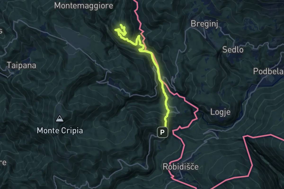
Montemaggiore di Taipana – Prossenicco
13.2 km · ↑ 608 m · 4 h 26 min · 14 km away
Medium · Trail
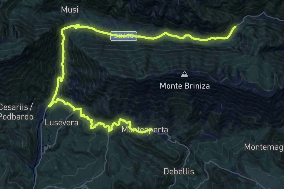
Cammino Celeste Italia - 6var Montemaggiore - Variante al Gran Monte sul Rifugio A.N.A. - Passo Tanamea
16.5 km · ↑ 631 m · 5 h 37 min · 14 km away
Medium · Trail
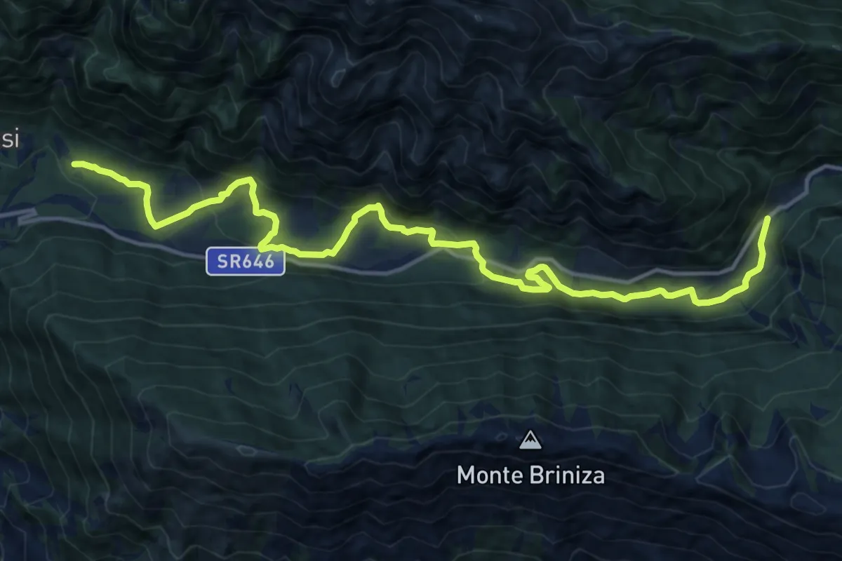
Loc. Simaz (quota 615 m) – Passo Tanamea (quota 851 m)
16.4 km · ↑ 618 m · 5 h 12 min · 14 km away
Medium · Trail
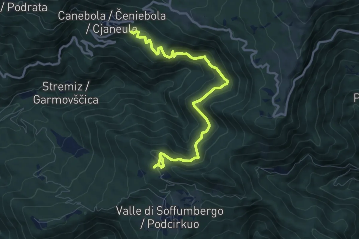
Sentiero Canebola - Pedrosa
8.8 km · ↑ 567 m · 3 h 19 min · 14 km away