Trails near Thiene
114 hikes starting within 15 km, nearest first.
Nearest first, page 2 of 3
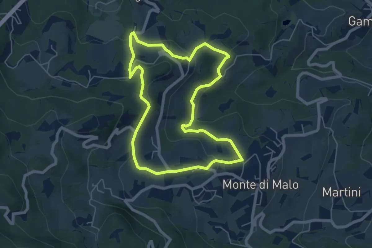
Easy · Trail
Maronari Corto
4.7 km · ↑ 163 m · 1 h 32 min · 10 km away
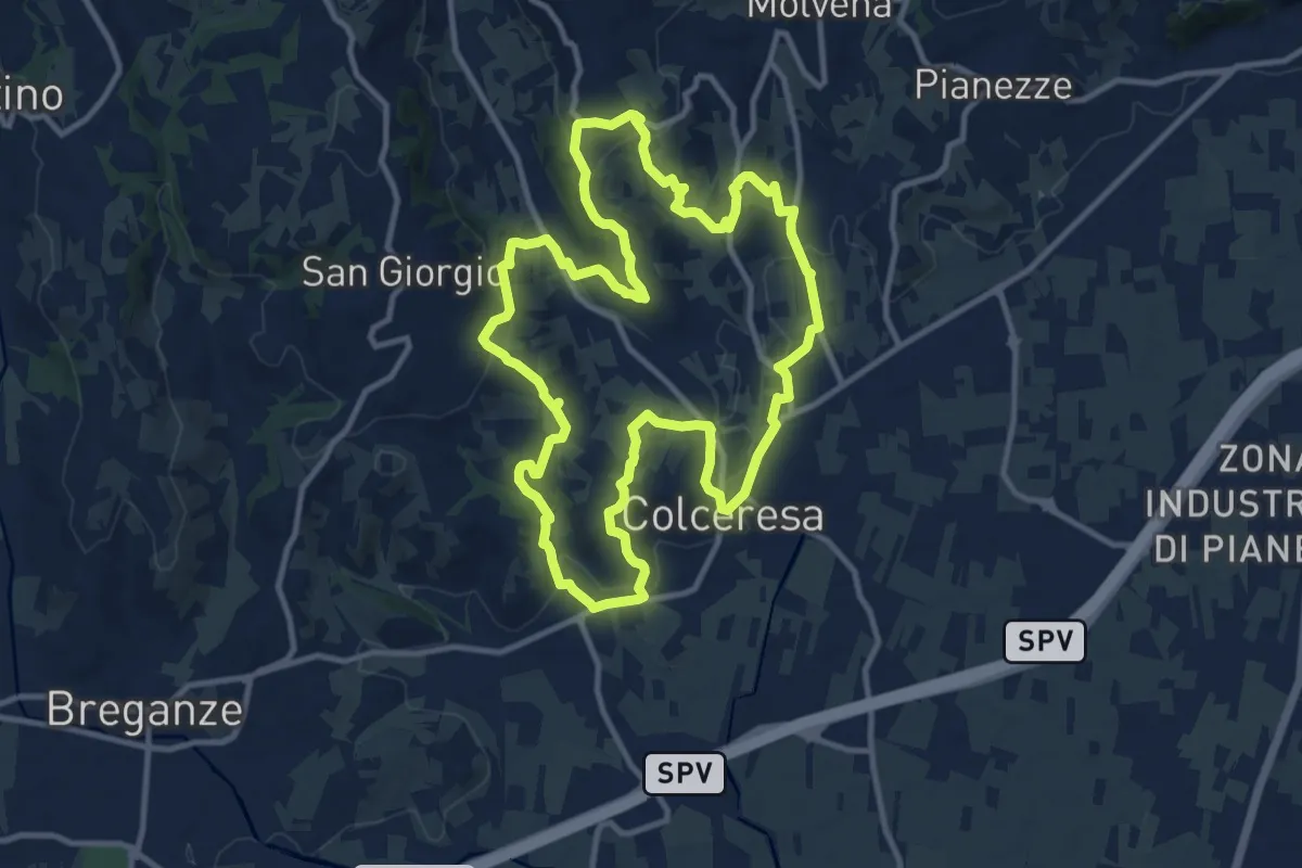
Medium · Trail
Percorso della Lepre
11.9 km · ↑ 354 m · 3 h 45 min · 10 km away
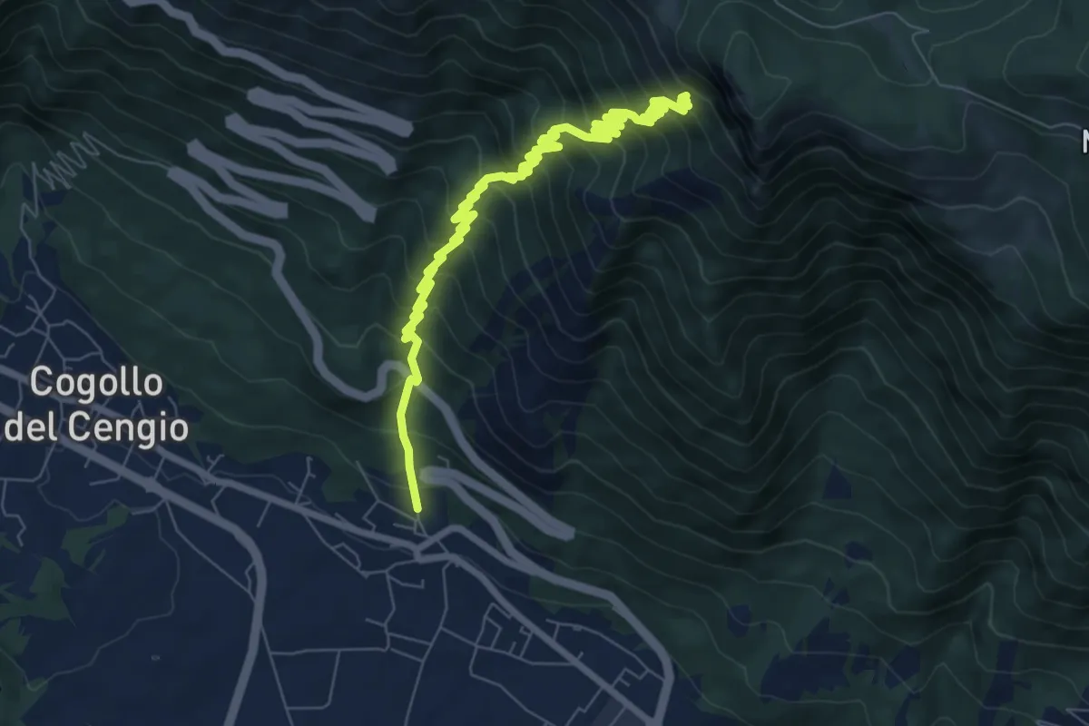
Demanding · Trail
Mosso - Bocchetta Paù per la Val Terragna
9.2 km · ↑ 1127 m · 4 h 37 min · 10 km away
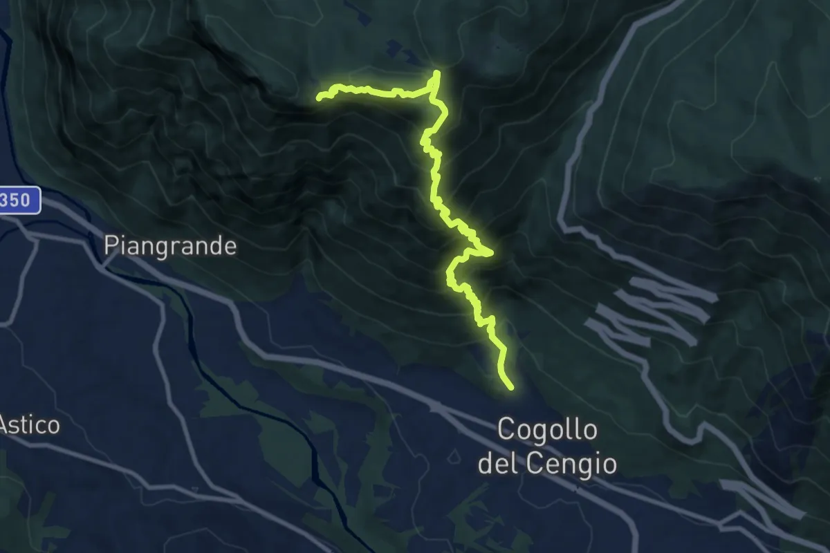
Demanding · Cabin
Cogollo - Monte Cengio per Val Sengela
10.8 km · ↑ 1130 m · 4 h 59 min · 11 km away
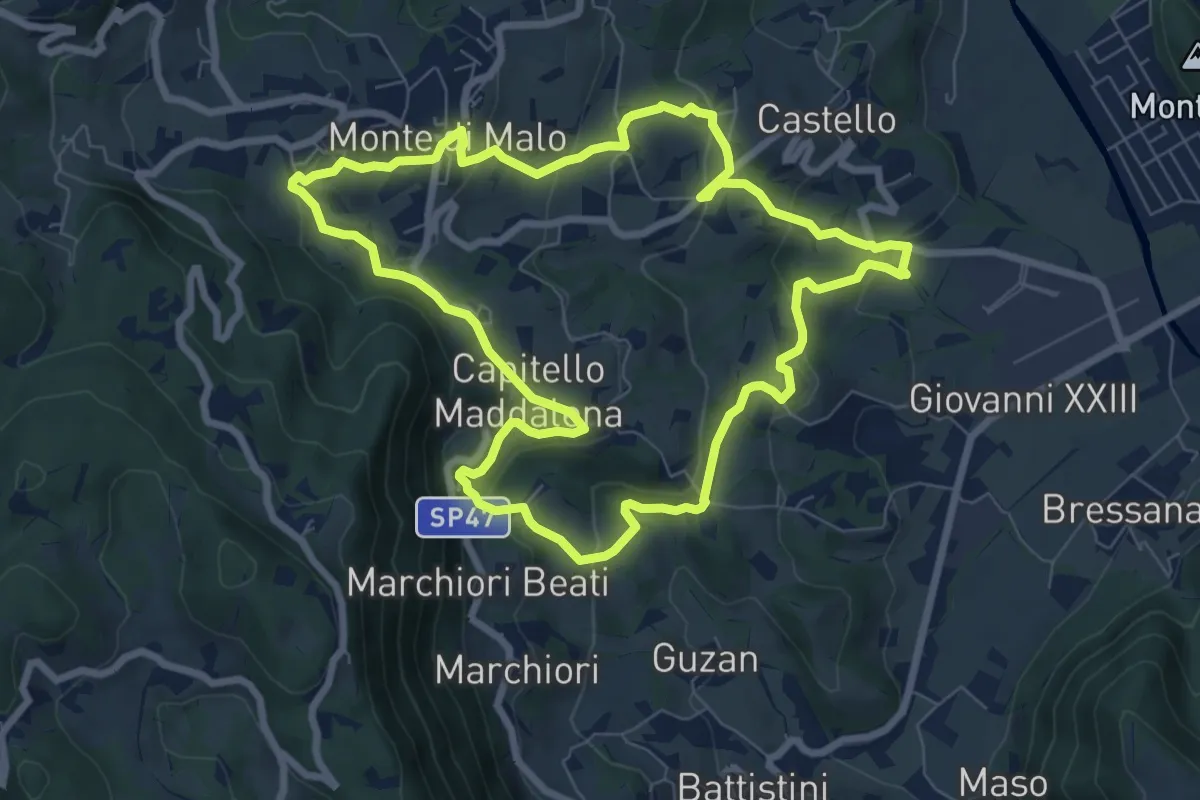
Medium · Trail
Anello del Buso della Rana (variante lunga)
8.0 km · ↑ 317 m · 2 h 42 min · 11 km away
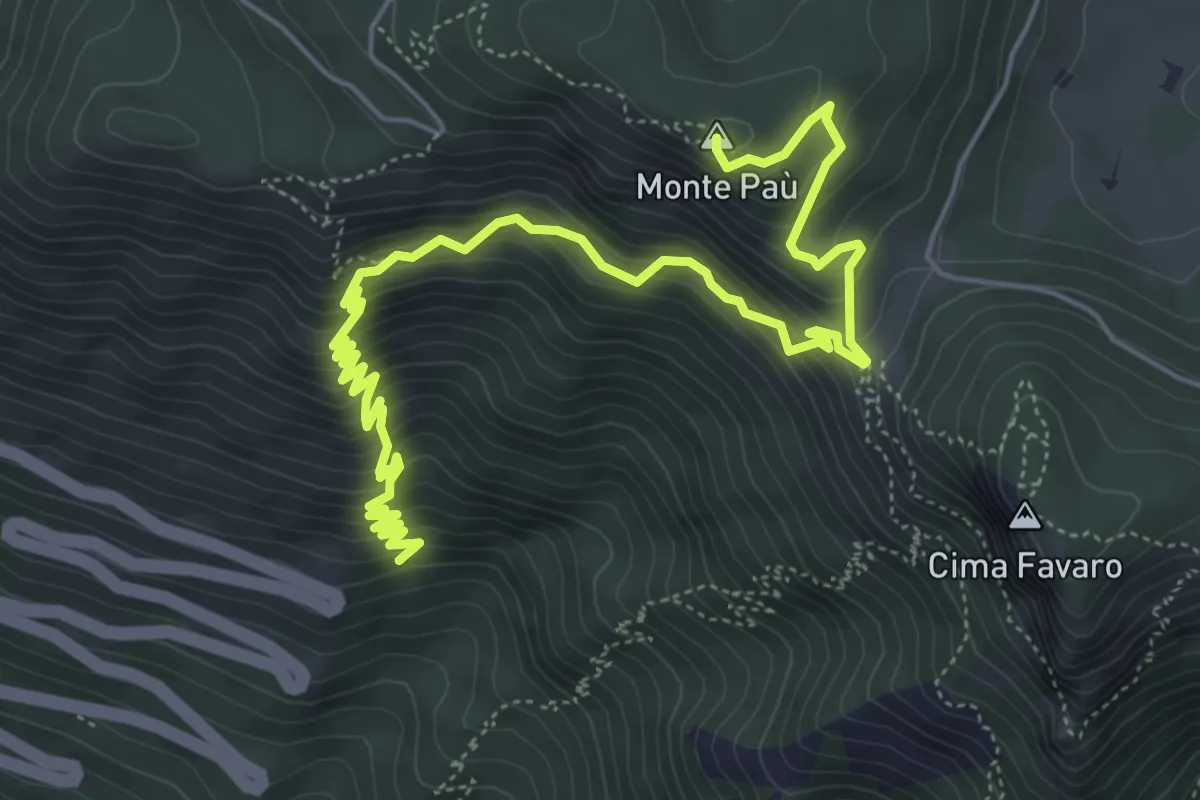
Medium · Summit
Statale del Costo (10° tornante) – Cima del Gallo
7.8 km · ↑ 769 m · 3 h 30 min · 11 km away
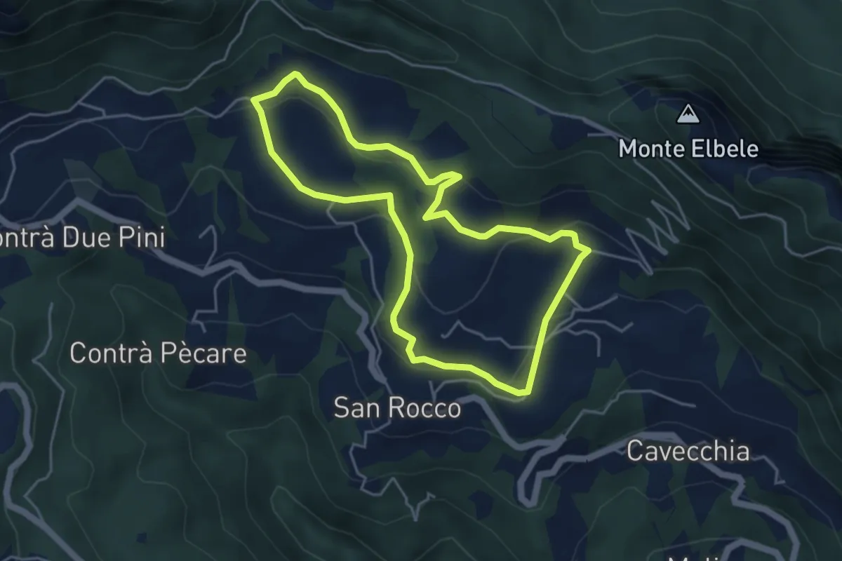
Easy · Trail
Prati di S. Rocco
4.2 km · ↑ 144 m · 1 h 22 min · 11 km away
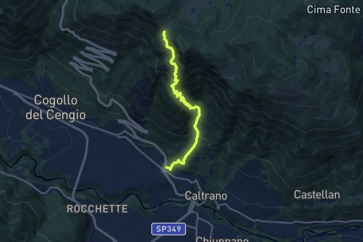
Demanding · Trail
Caltrano (cimitero) – Bocchetta Paù
9.1 km · ↑ 1139 m · 4 h 37 min · 11 km away
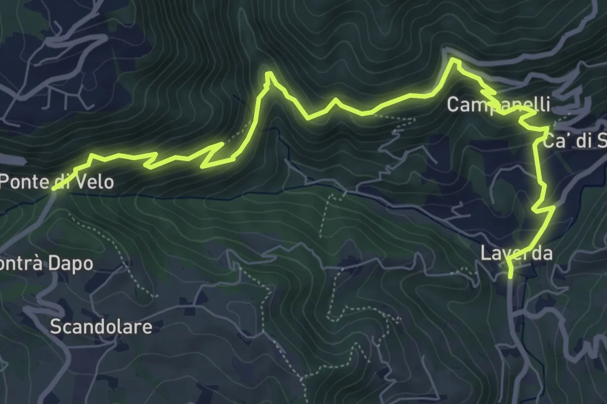
Medium · Trail
Sentiero dei Maronari
8.9 km · ↑ 552 m · 3 h 18 min · 11 km away
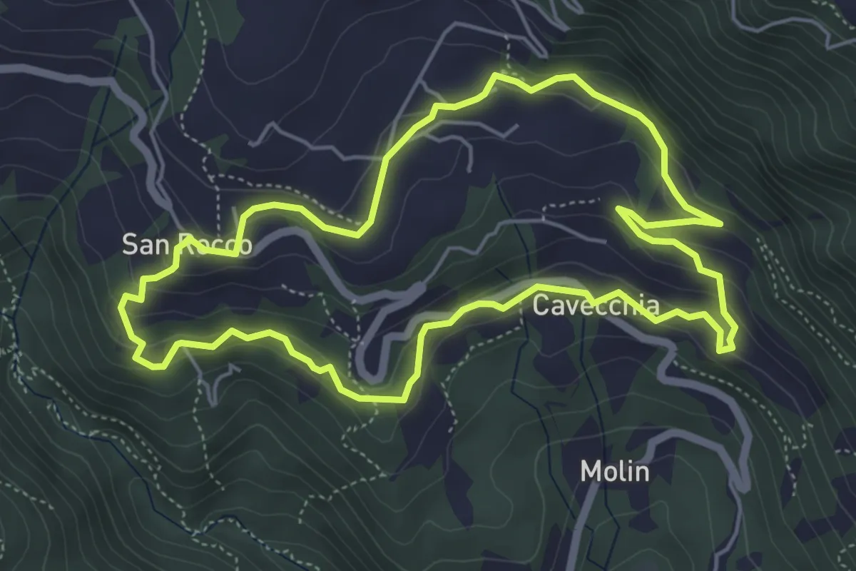
Easy · Trail
Sojo Negro
5.2 km · ↑ 205 m · 1 h 44 min · 11 km away
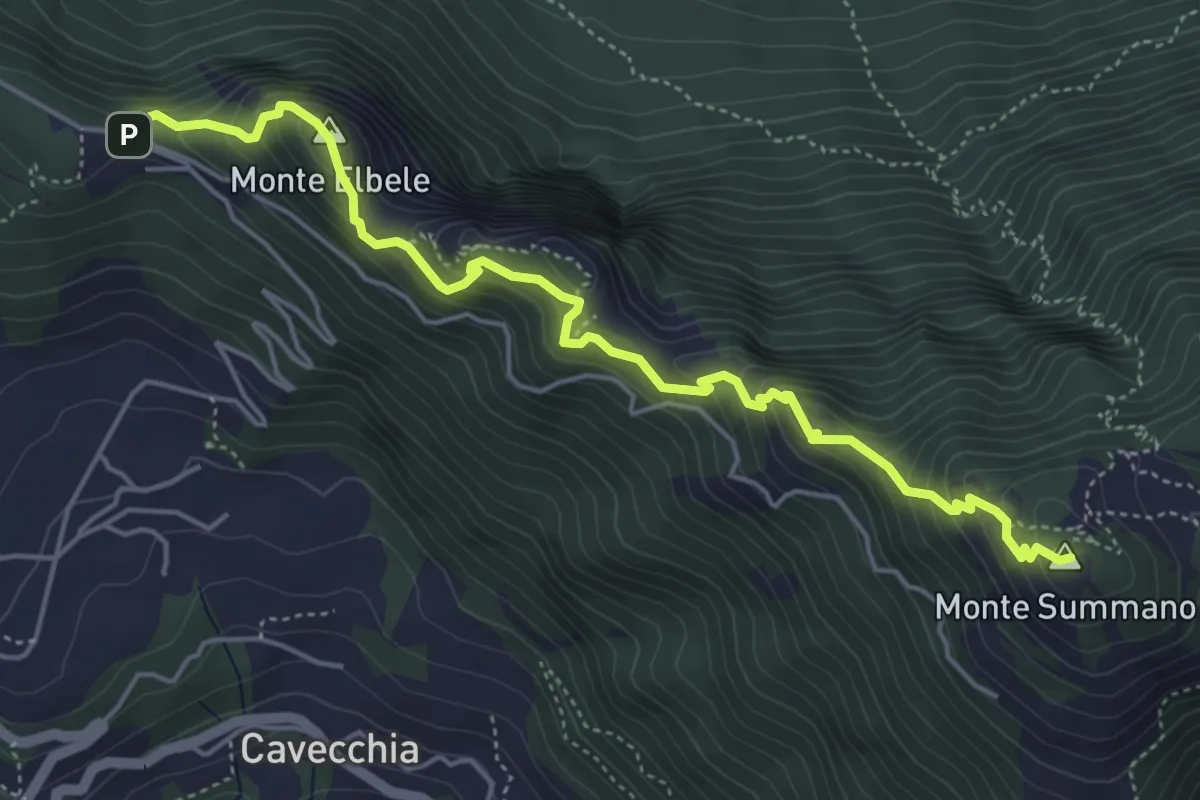
Demanding · Summit
Creste del Summano
5.5 km · ↑ 507 m · 2 h 24 min · 11 km away
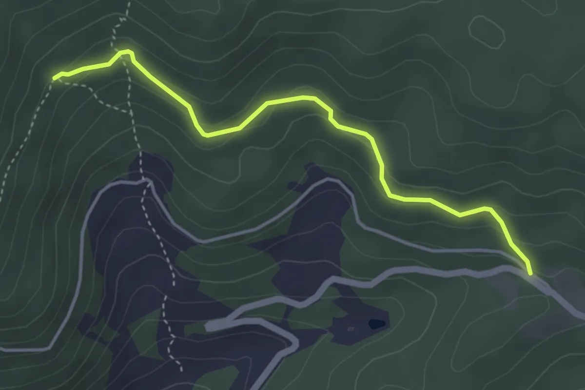
Medium · Trail
Sentiero Naturalistico "La Rocca"
3.9 km · ↑ 185 m · 1 h 19 min · 11 km away
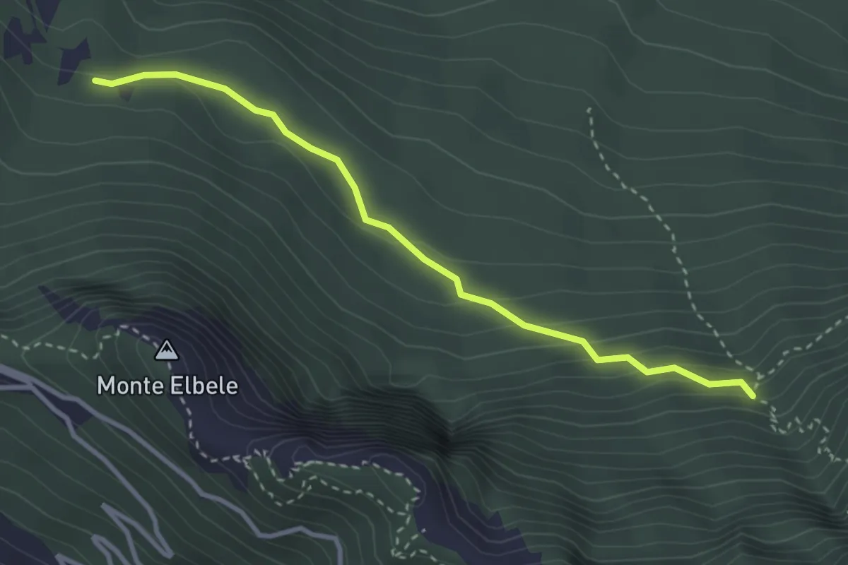
Medium · Trail
Lauri di Velo d'Astico (da sentiero 463) – Capitello della Madonna (innesto sentiero 462)
3.2 km · ↑ 178 m · 1 h 8 min · 11 km away
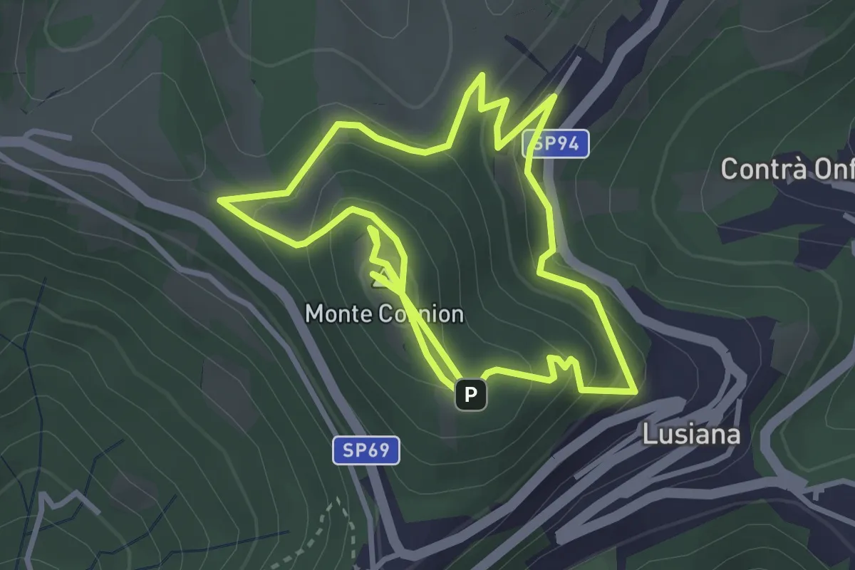
Medium · Summit
Eco Sentiero del Monte Corgnon
6.6 km · ↑ 365 m · 2 h 20 min · 11 km away
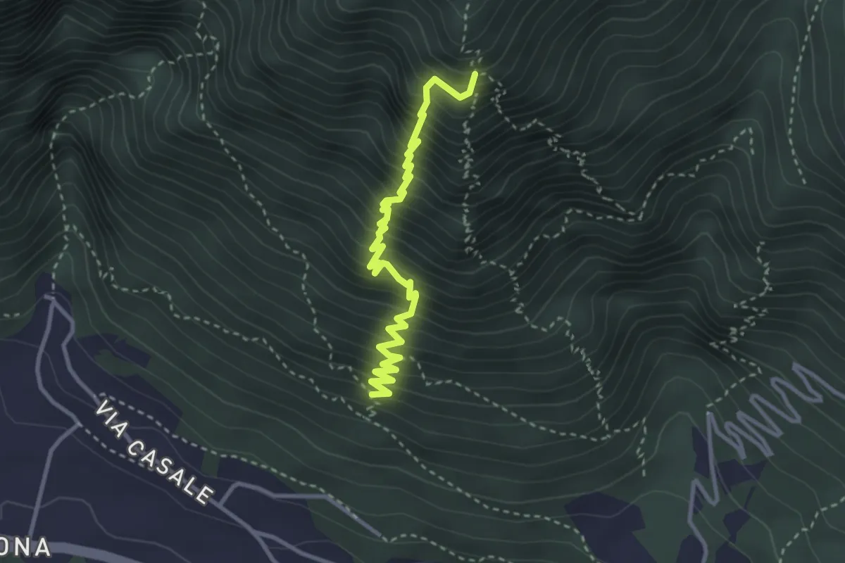
Medium · Trail
Sentiero delle Postazioni
3.5 km · ↑ 574 m · 2 h 4 min · 11 km away
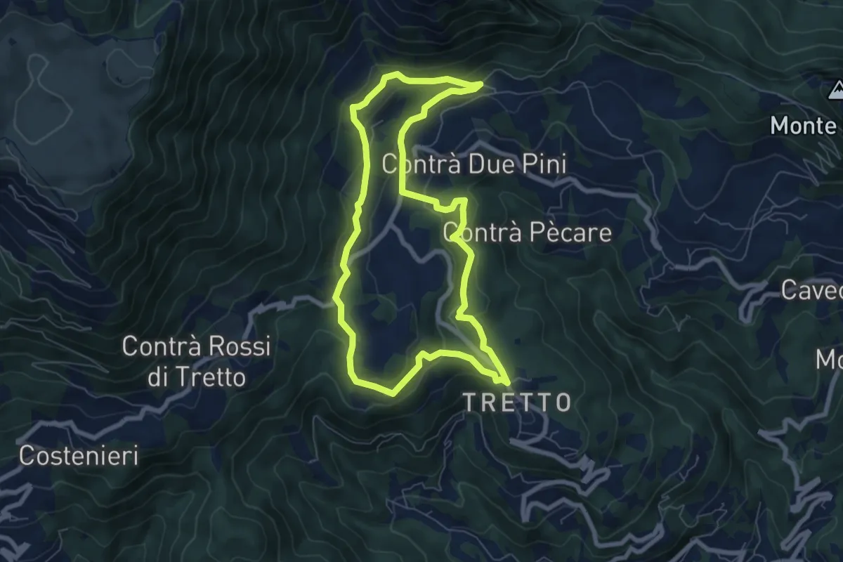
Easy · Trail
Sopra la Valle dell'Orco
6.6 km · ↑ 258 m · 2 h 13 min · 12 km away
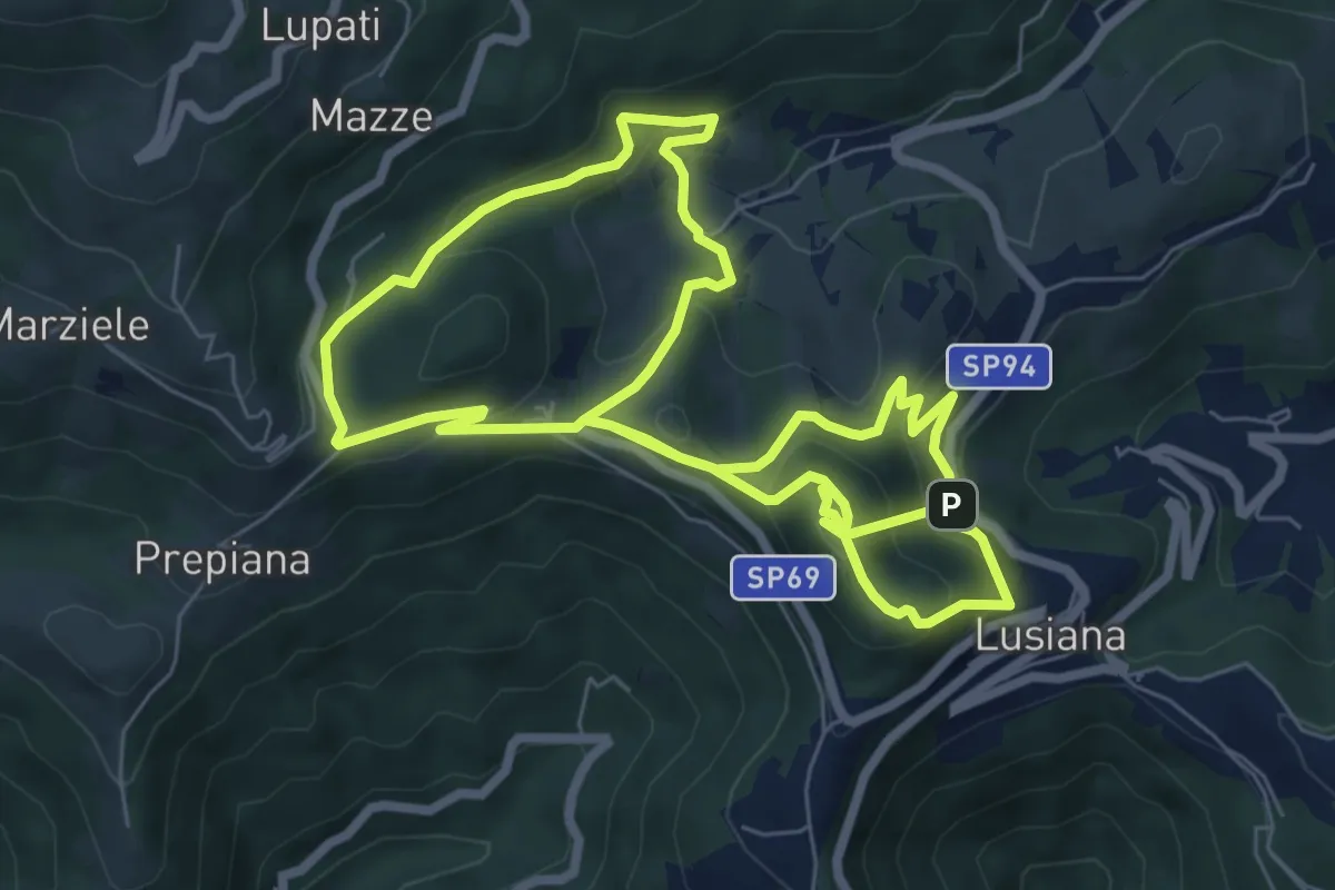
Medium · Summit
Lusia…’ndando
14.9 km · ↑ 753 m · 5 h 9 min · 12 km away
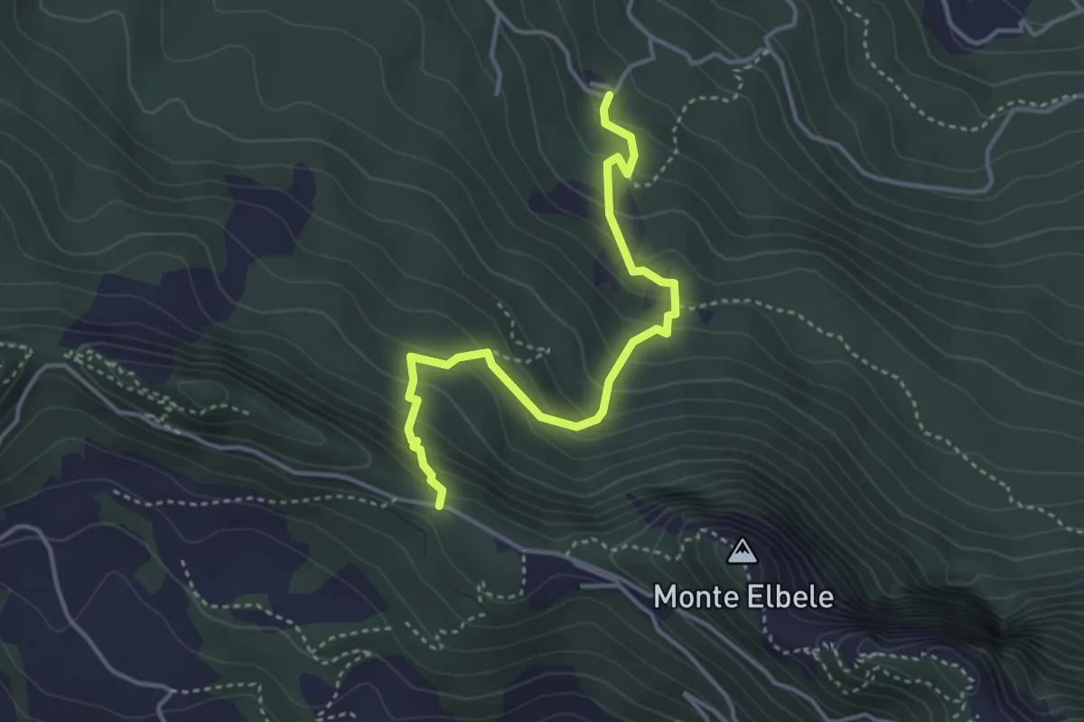
Medium · Trail
Contrà Burini (Velo d'Astico) – Passo Colletto Grande di Velo
3.8 km · ↑ 321 m · 1 h 36 min · 12 km away
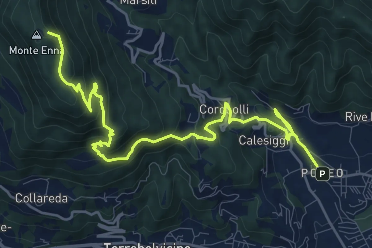
Demanding · Summit
S3
12.8 km · ↑ 901 m · 4 h 58 min · 12 km away
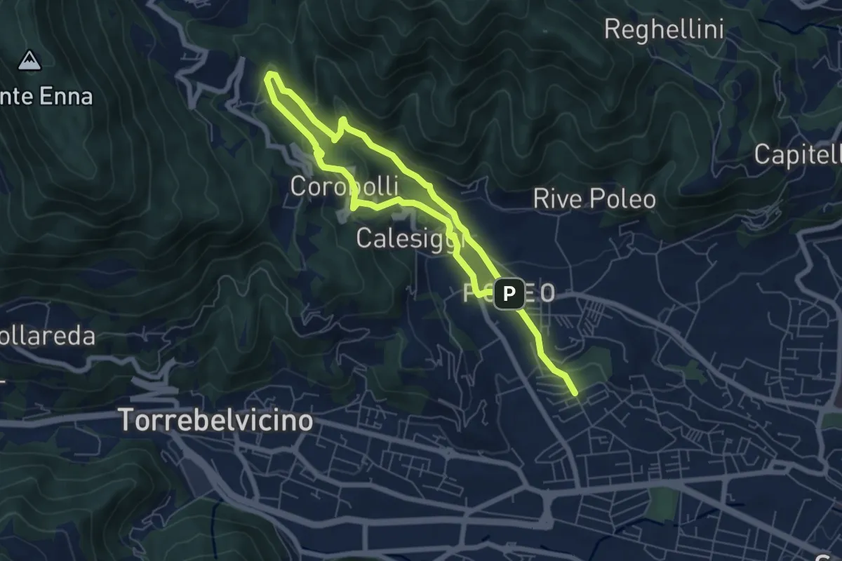
Medium · Trail
La via dei Mulini
10.3 km · ↑ 541 m · 3 h 36 min · 12 km away
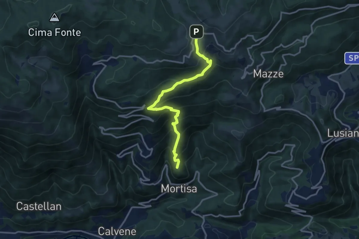
Medium · Summit
Lore di Lugo – Rifugio Monte Corno
10.1 km · ↑ 731 m · 3 h 58 min · 12 km away
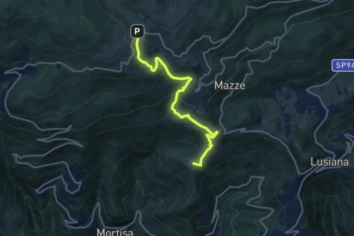
Medium · Summit
Contrà Boschetti (Lugo di Vicenza) – Rifugio Monte Corno
8.9 km · ↑ 638 m · 3 h 30 min · 12 km away
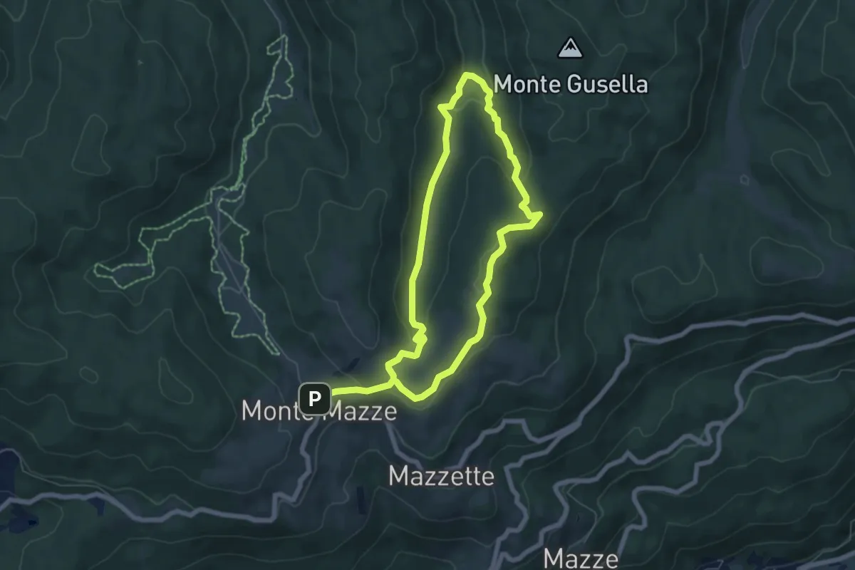
Medium · Trail
Poilus Anello B
11.1 km · ↑ 429 m · 3 h 33 min · 12 km away
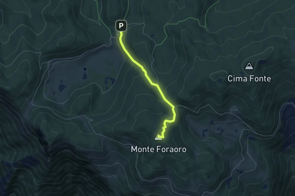
Medium · Summit
Sentiero di Pace
4.6 km · ↑ 252 m · 1 h 38 min · 12 km away
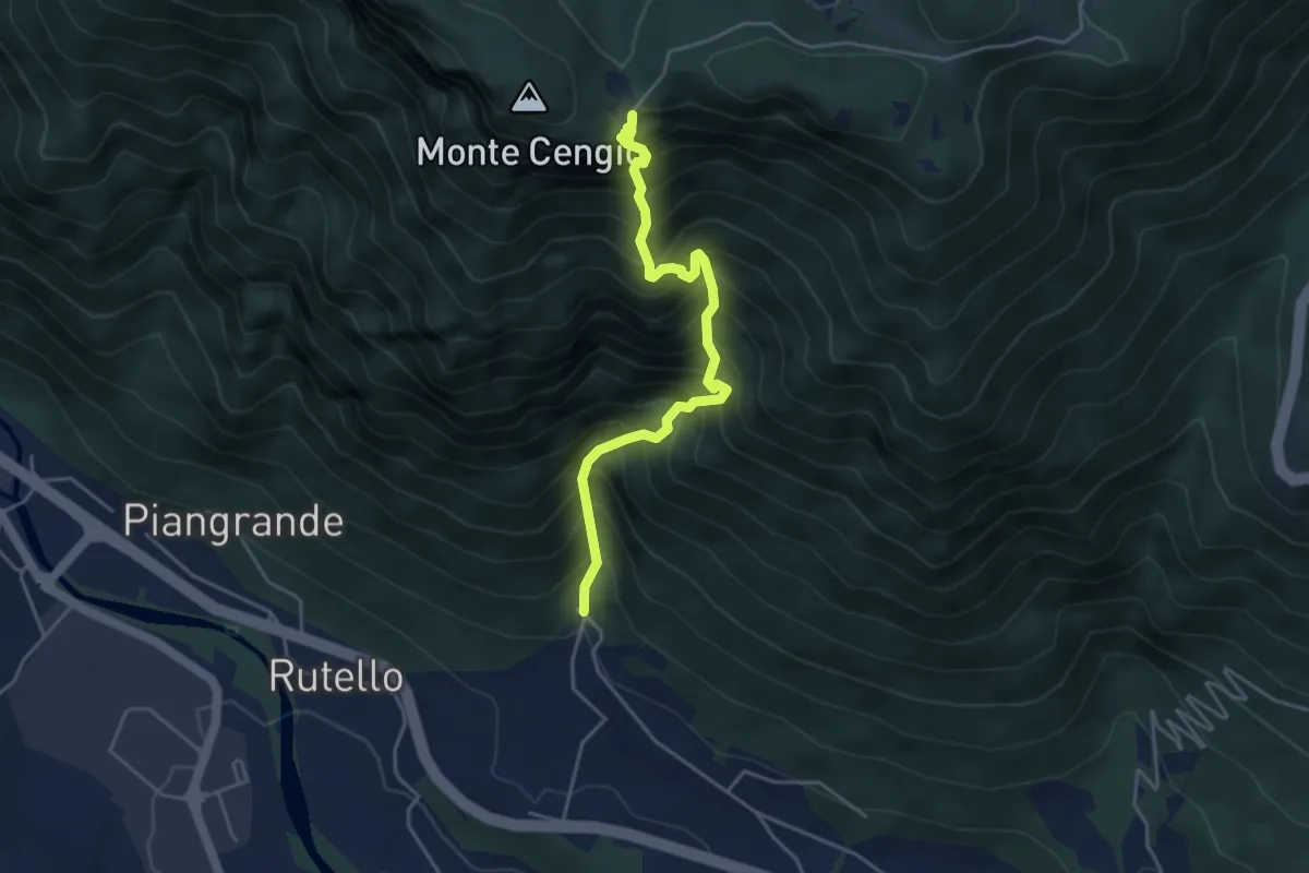
Demanding · Cabin
Contrà Casale di Cogollo - Monte Cengio per Val Cengiotta
4.4 km · ↑ 937 m · 3 h 4 min · 12 km away
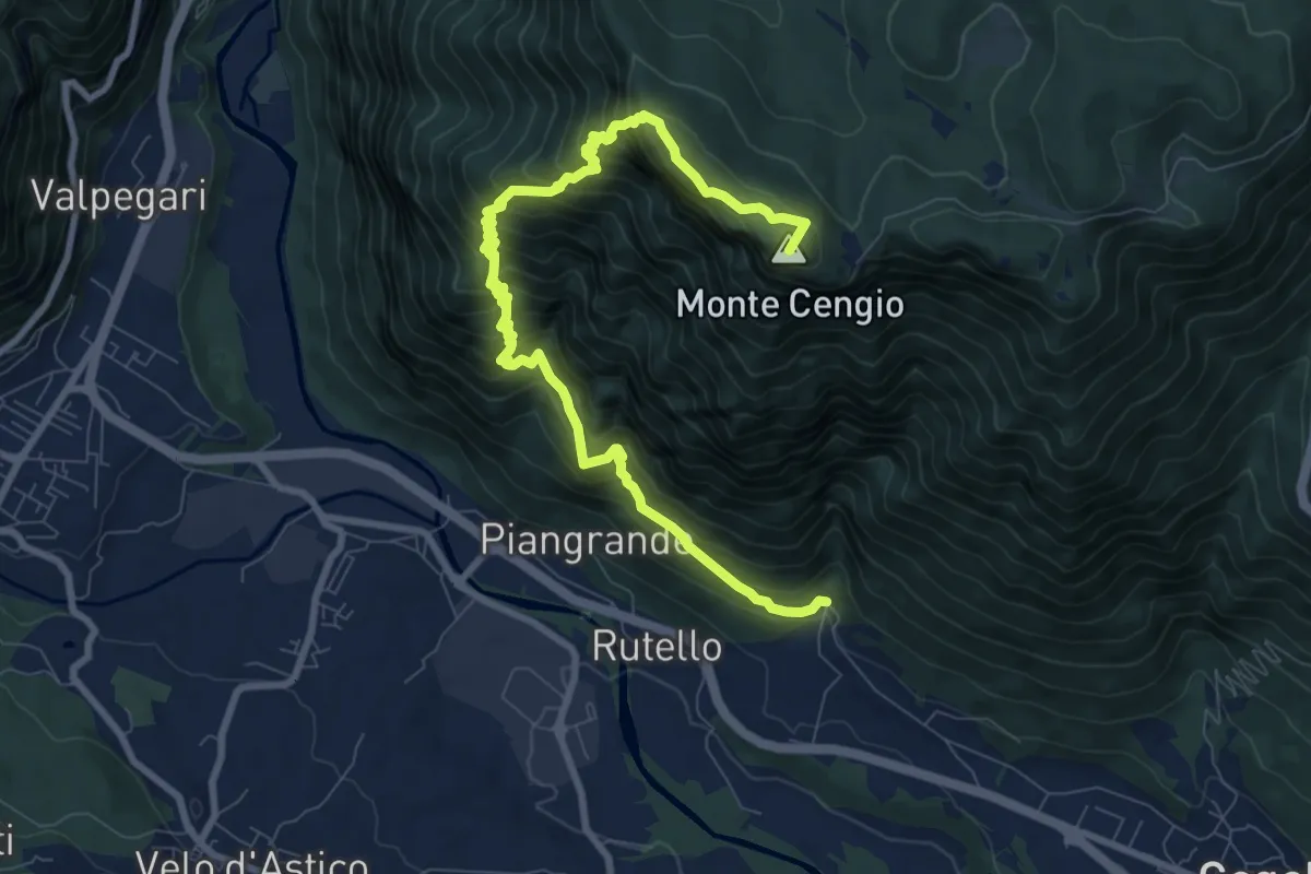
Demanding · Summit
Contrà Casale di Cogollo - Monte Cengio per San Zeno e Ronchi Alti
10.7 km · ↑ 1235 m · 5 h 12 min · 12 km away
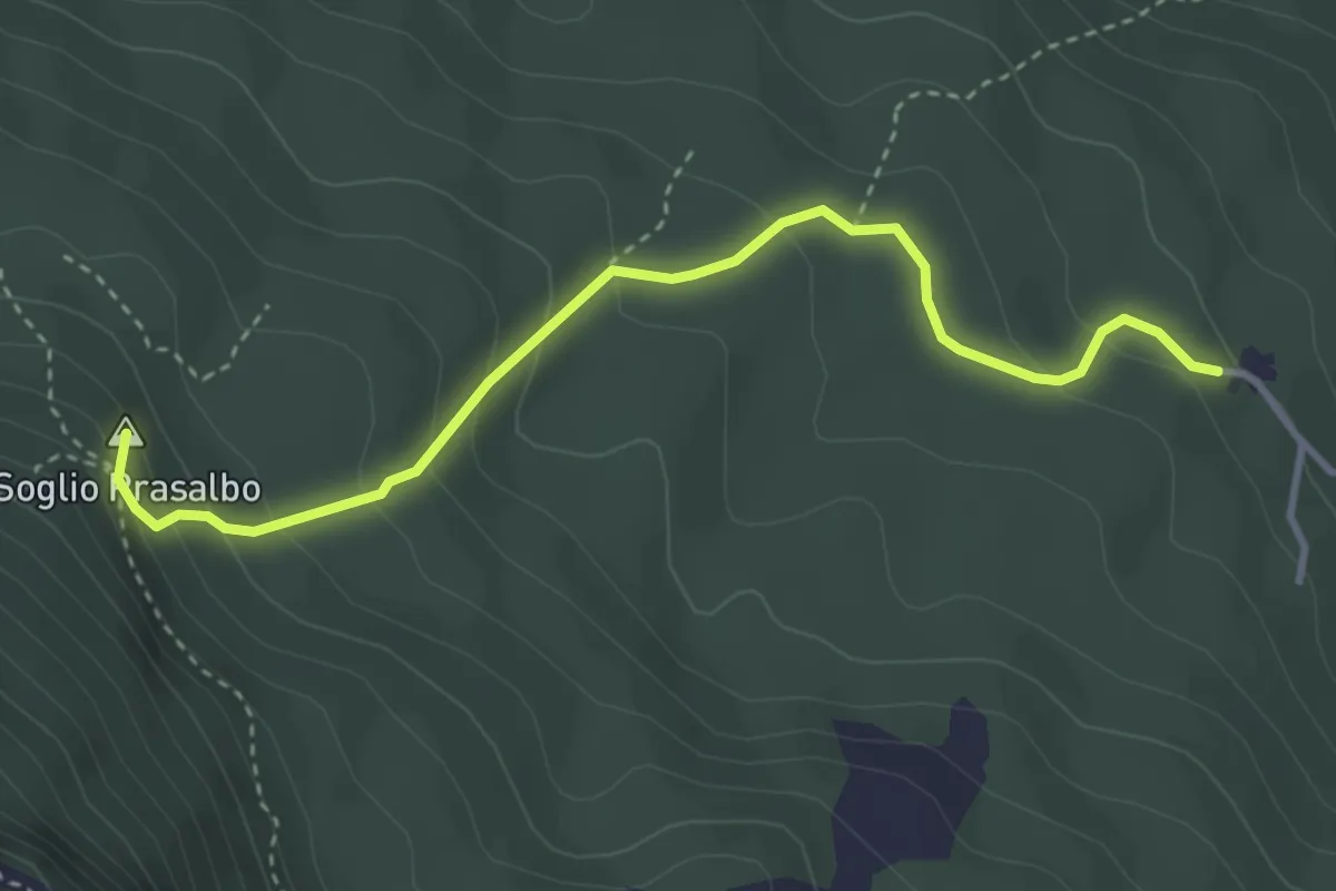
Medium · Summit
Contrà Anzolone di Velo d'Astico – Passo Colletto Piccolo
3.7 km · ↑ 259 m · 1 h 26 min · 12 km away
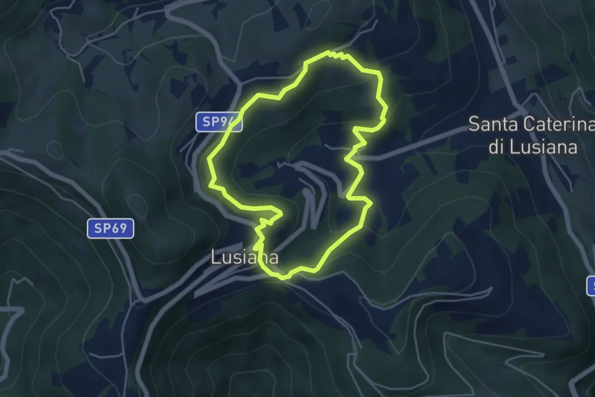
Easy · Trail
Sentiero Pomo Pero
3.9 km · ↑ 200 m · 1 h 25 min · 12 km away
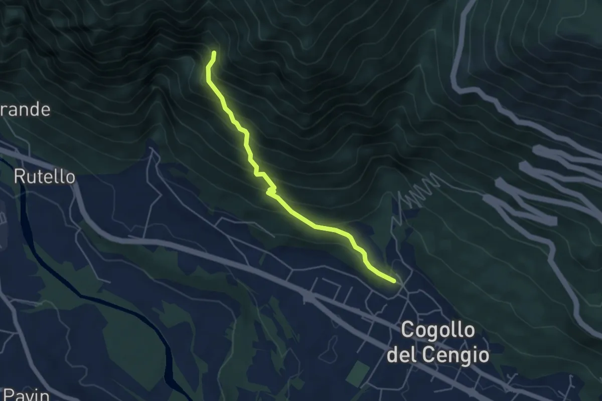
Medium · Trail
Cogollo – Raccordo con sentero 647 in Val Cengiotta
4.3 km · ↑ 446 m · 1 h 59 min · 12 km away
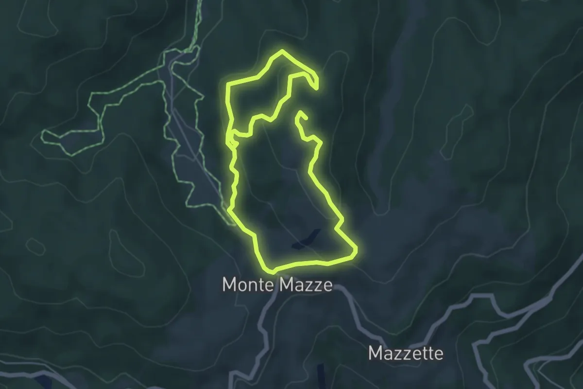
Medium · Summit
Poilus Anello A
8.8 km · ↑ 330 m · 2 h 47 min · 12 km away
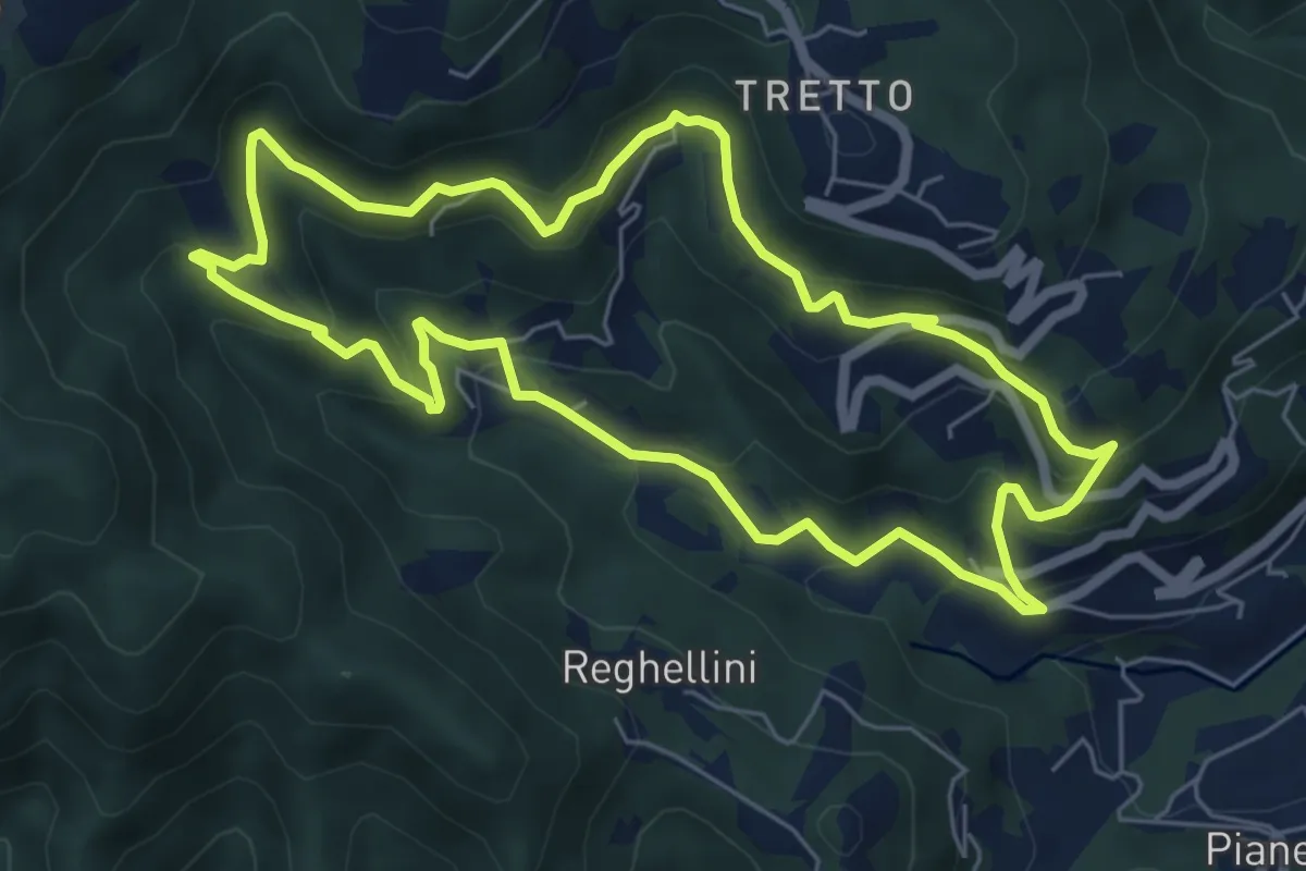
Medium · Trail
Lungo l'Acquasaliente
6.3 km · ↑ 373 m · 2 h 22 min · 13 km away
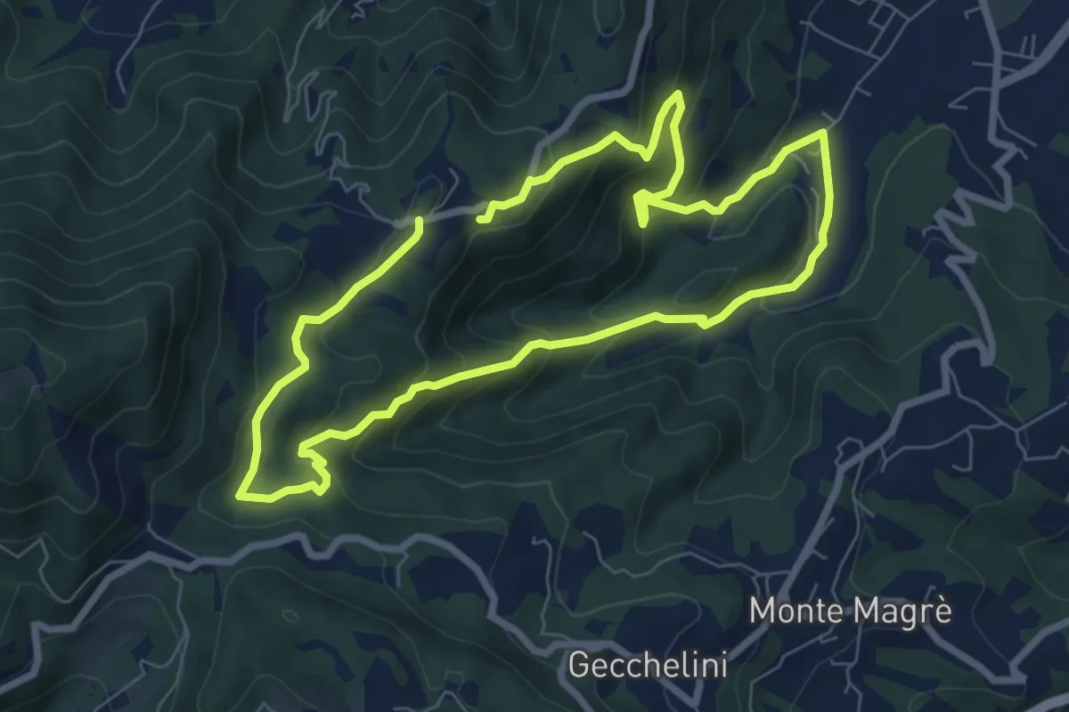
Medium · Trail
Sentiero dell'Alpino
6.6 km · ↑ 380 m · 2 h 29 min · 13 km away
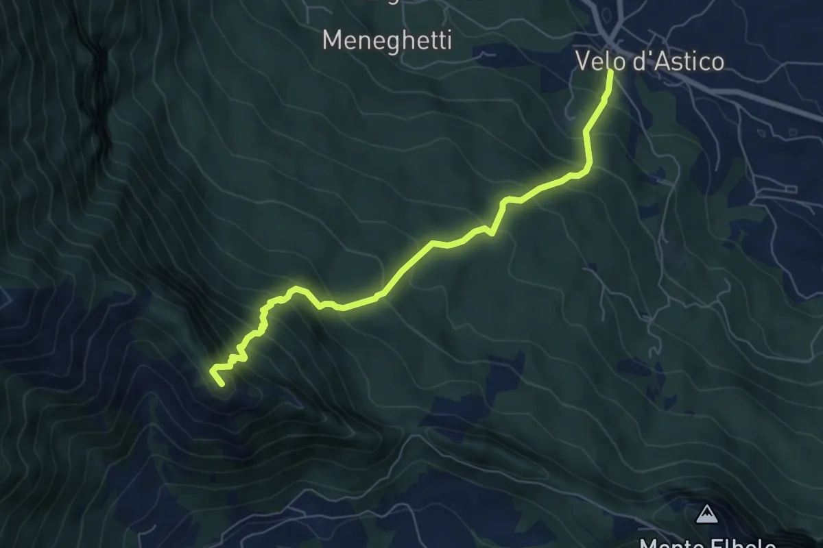
Demanding · Summit
Velo d'Astico – Passo Tre Rocchette
6.7 km · ↑ 832 m · 3 h 23 min · 13 km away
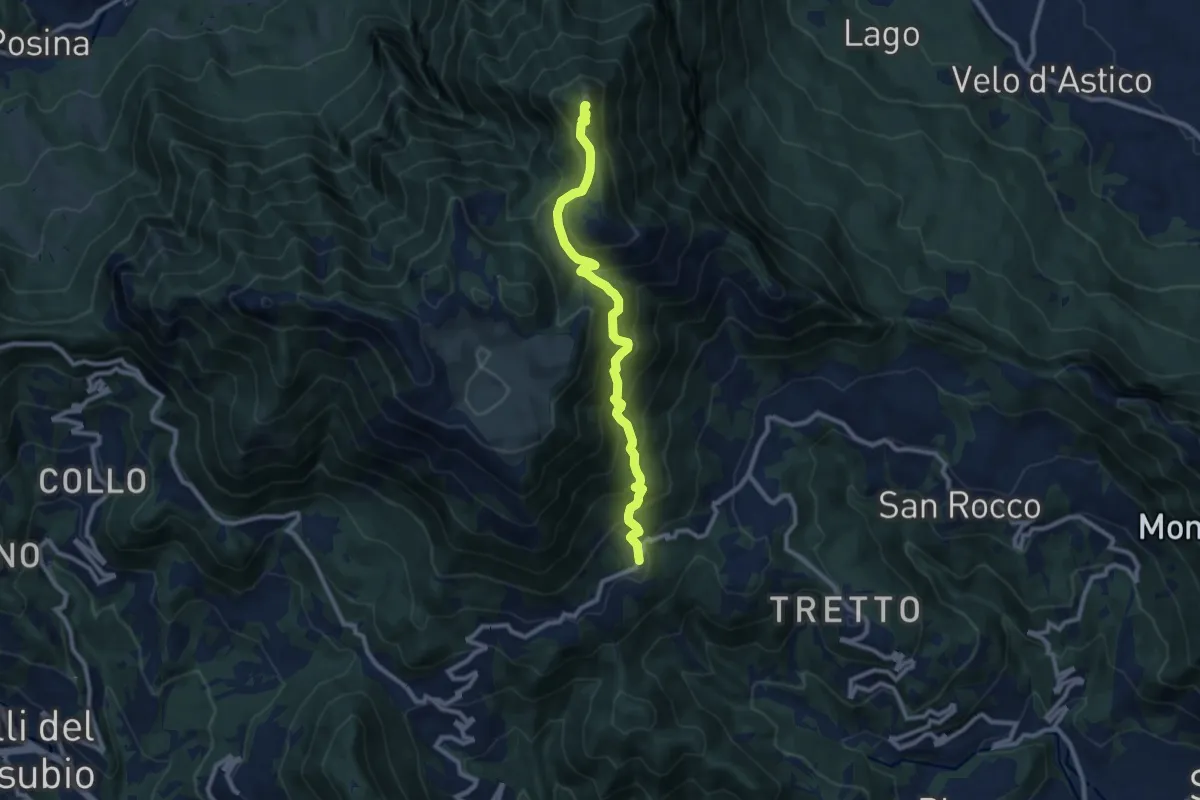
Demanding · Summit
Cerbaro (Santa Caterina del Tretto) - da sentiero 433 – Monte Priaforà
9.6 km · ↑ 762 m · 3 h 55 min · 13 km away
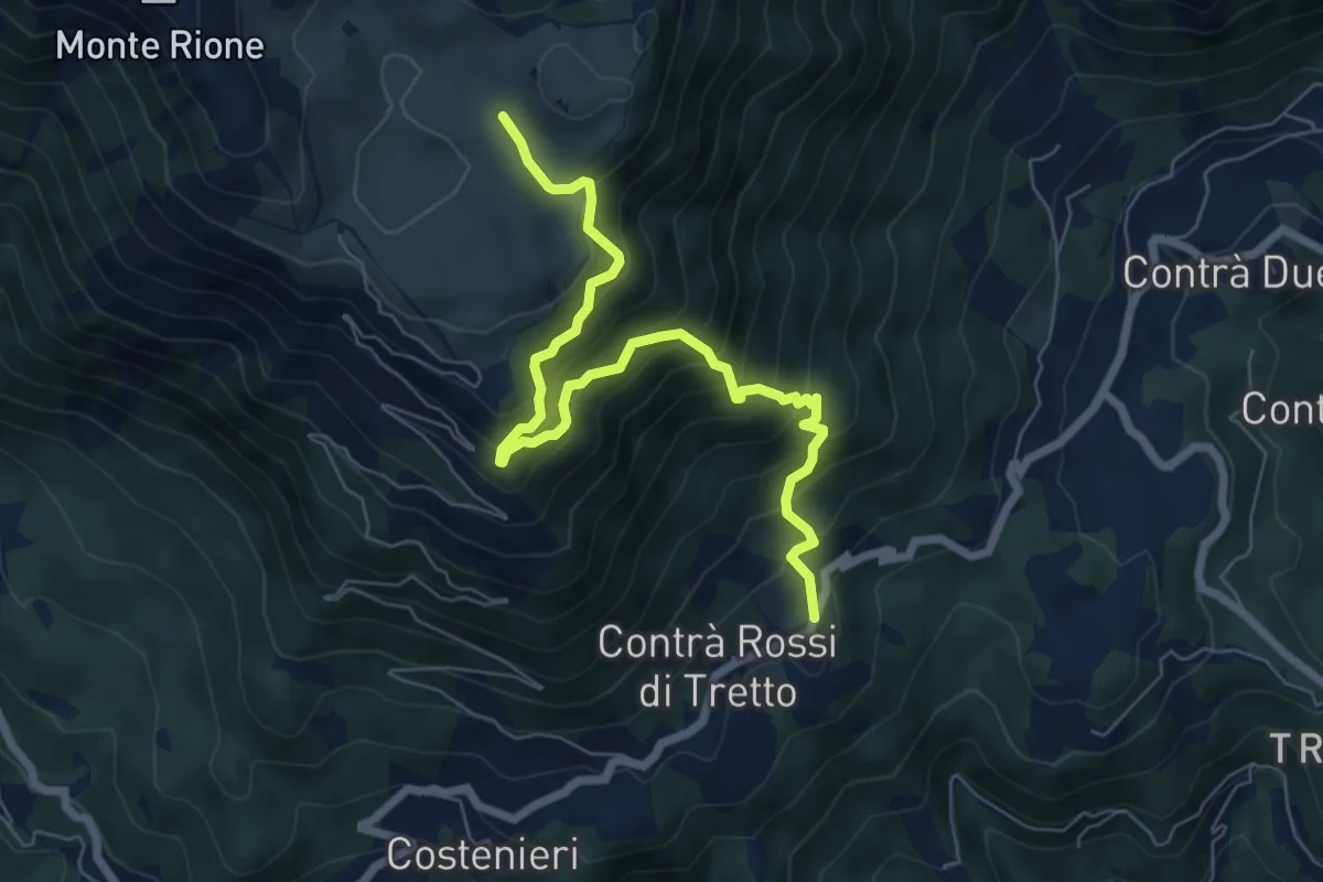
Demanding · Trail
Cerbaro - Busa Novegno
7.5 km · ↑ 865 m · 3 h 38 min · 13 km away
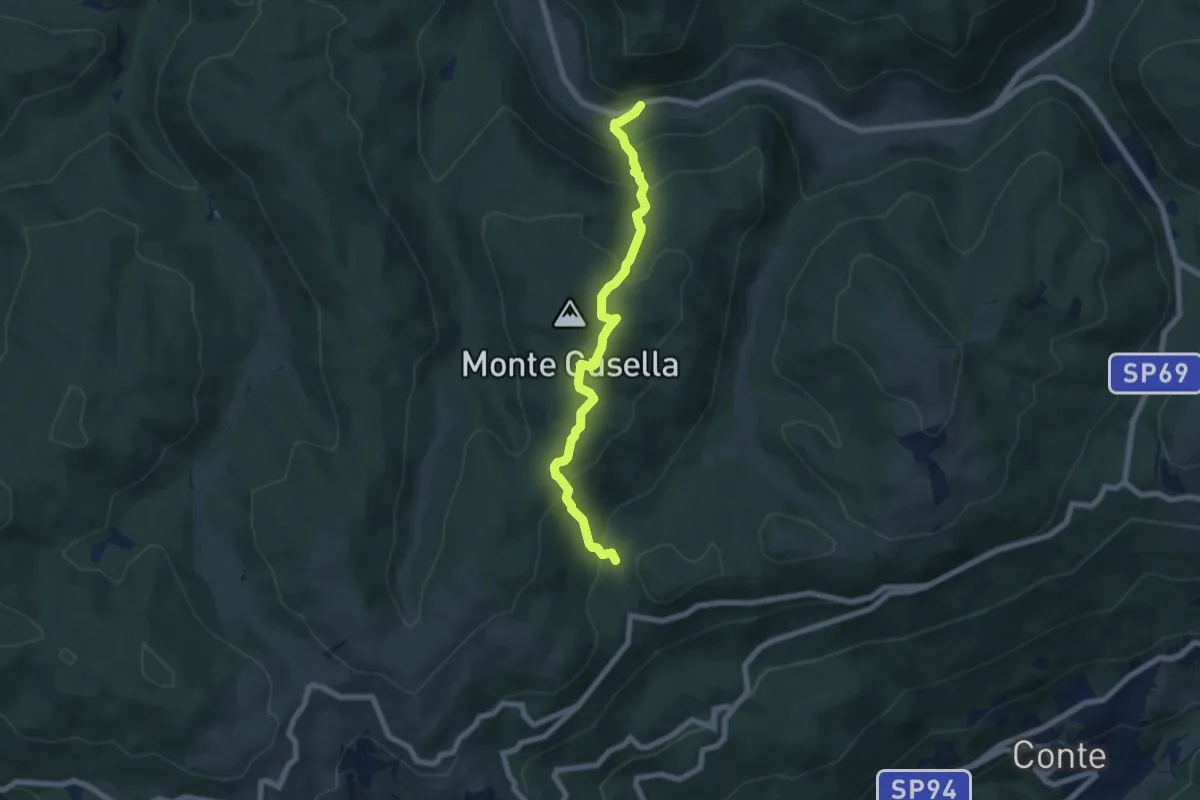
Medium · Trail
Fontanella
6.8 km · ↑ 500 m · 2 h 41 min · 13 km away
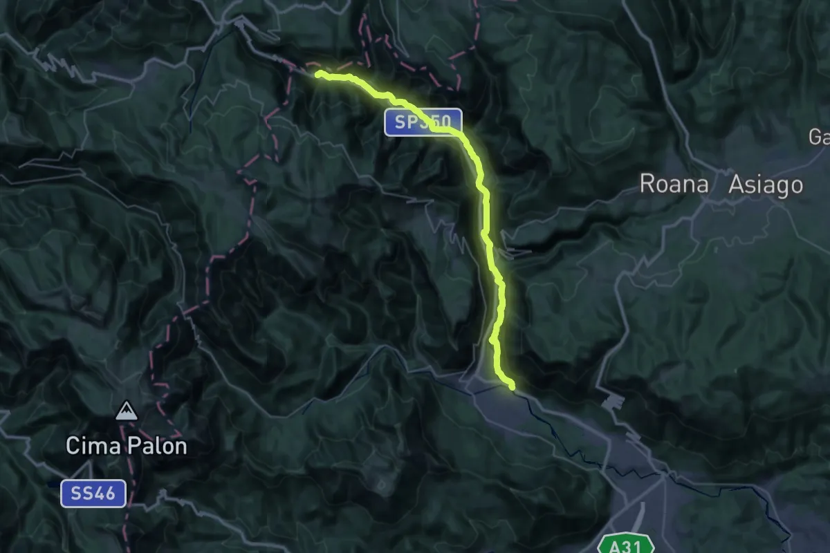
Demanding · Trail
Itinerario Valle dell'Astico
18.7 km · ↑ 537 m · 5 h 43 min · 13 km away
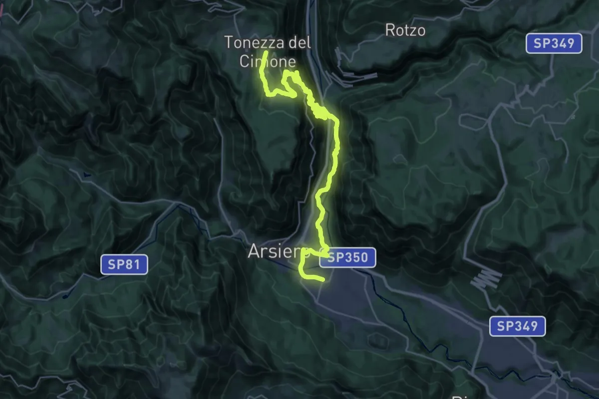
Demanding · Trail
Cammino Fogazzaro Roi - Tappa 4
17.6 km · ↑ 1266 m · 6 h 48 min · 13 km away
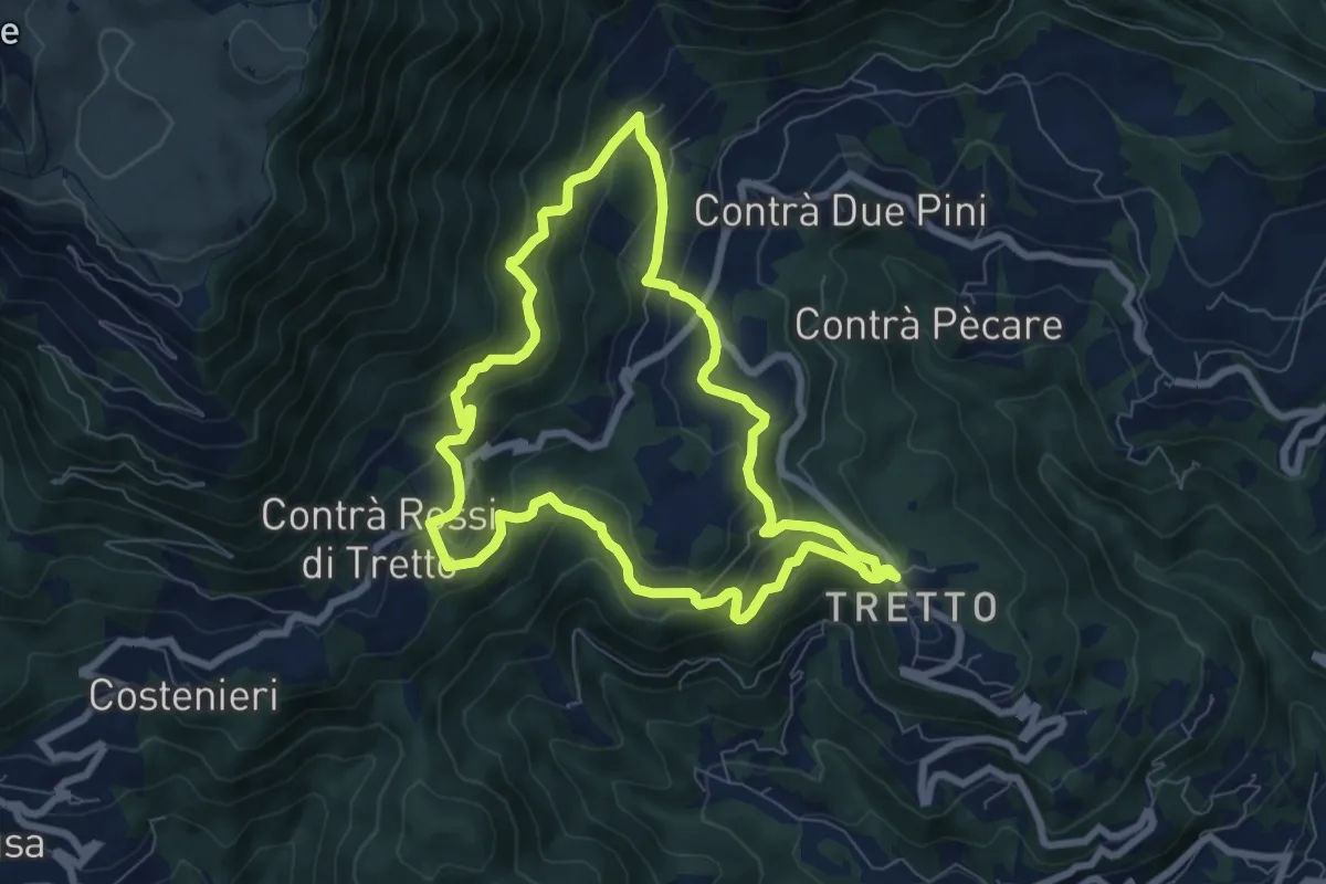
Medium · Trail
Alta Vista
7.2 km · ↑ 428 m · 2 h 44 min · 13 km away
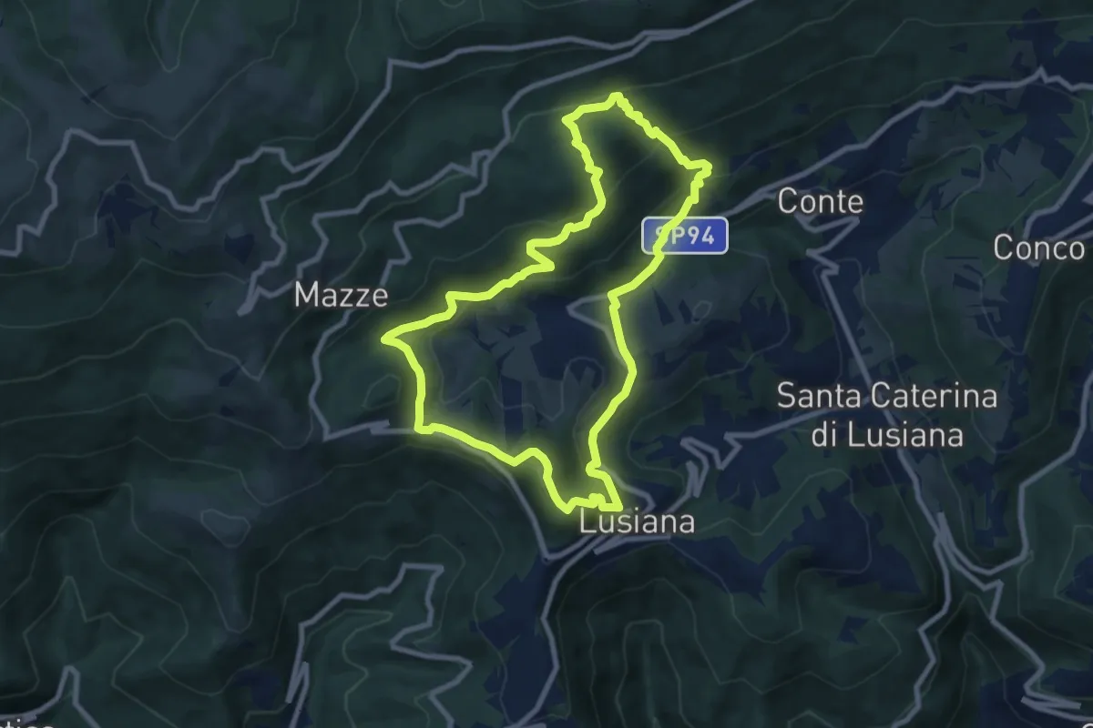
Medium · Summit
Sentiro delle Calcare
8.3 km · ↑ 424 m · 2 h 59 min · 13 km away
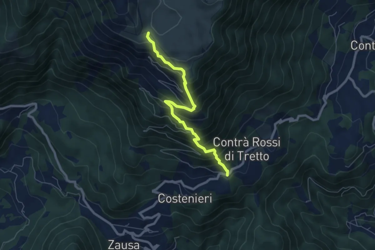
Demanding · Trail
Contrà Rossi - Busa Novegno
5.8 km · ↑ 623 m · 2 h 43 min · 13 km away
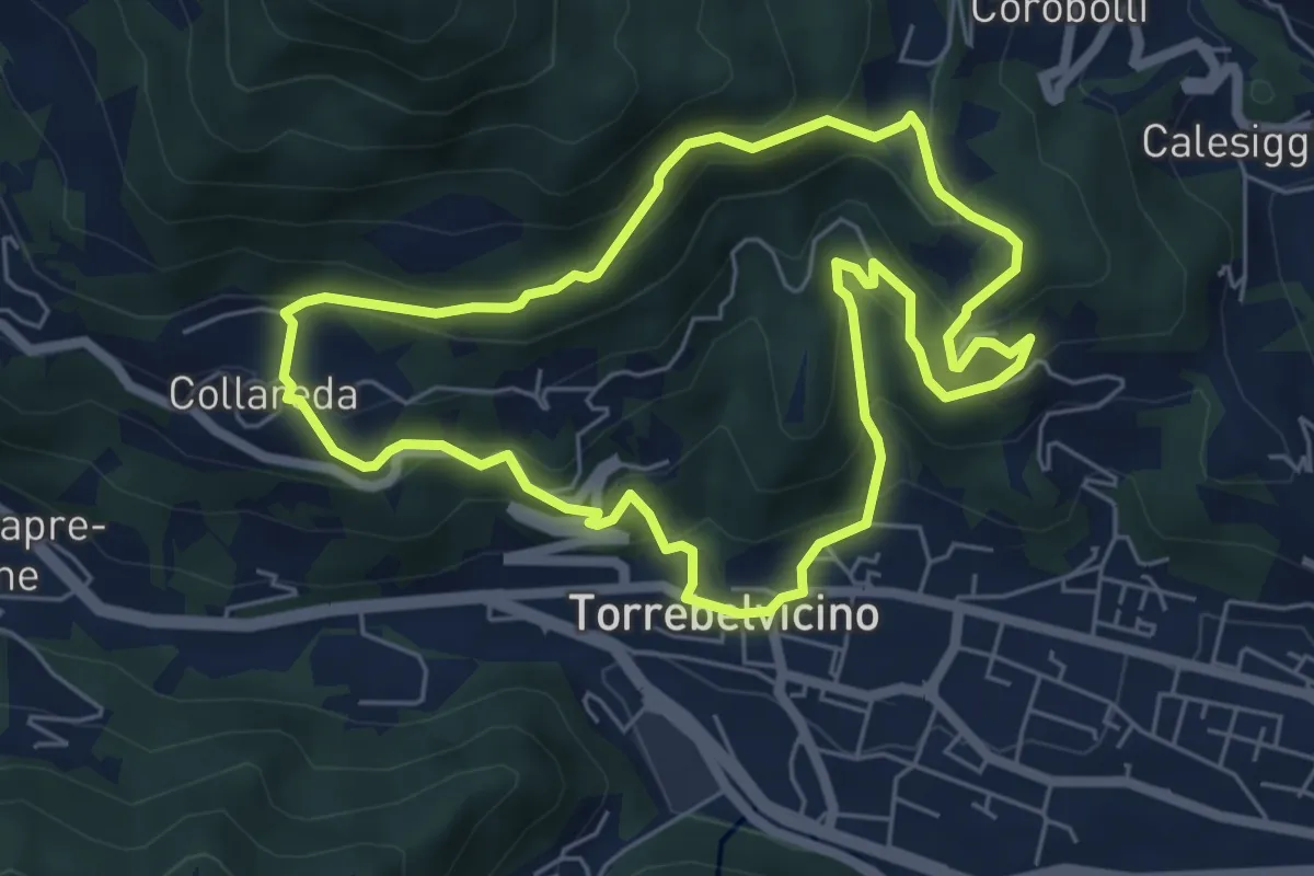
Medium · Trail
Sentiero delle cinque colombe
5.9 km · ↑ 411 m · 2 h 22 min · 13 km away
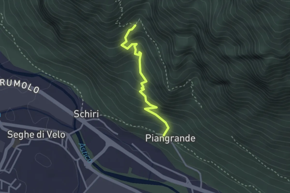
Medium · Trail
Piangrande di Cogollo – Raccordo con sentero 643
2.4 km · ↑ 271 m · 1 h 9 min · 14 km away
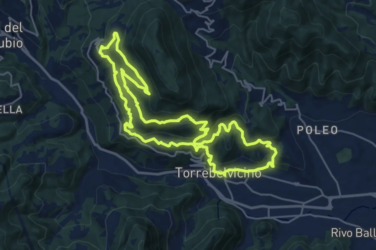
Demanding · Trail
Sentiero Panoramico della Val Leogra
13.3 km · ↑ 655 m · 4 h 45 min · 14 km away
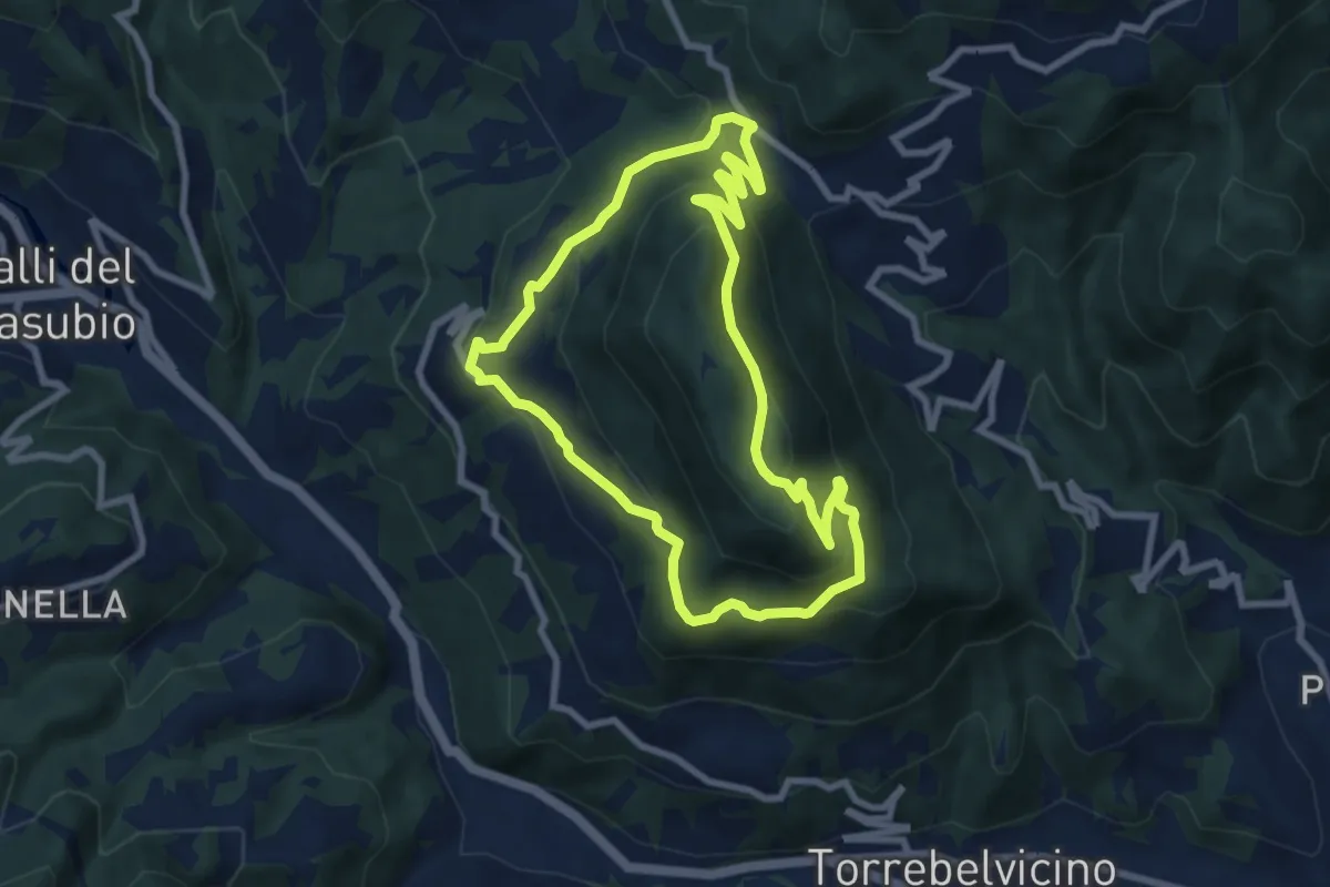
Medium · Summit
Sentiero del Monte Enna
7.8 km · ↑ 403 m · 2 h 49 min · 14 km away
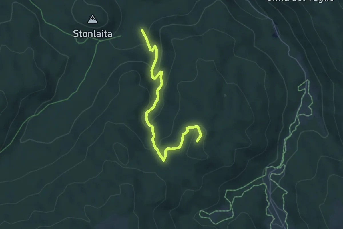
Medium · Summit
Sentiero dei Partigiani
5.2 km · ↑ 206 m · 1 h 41 min · 14 km away
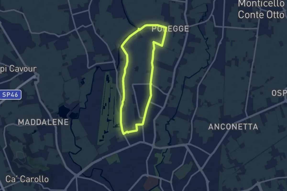
Easy · Trail
Anello Nord Laghetto
7.0 km · ↑ 0 m · 1 h 45 min · 14 km away
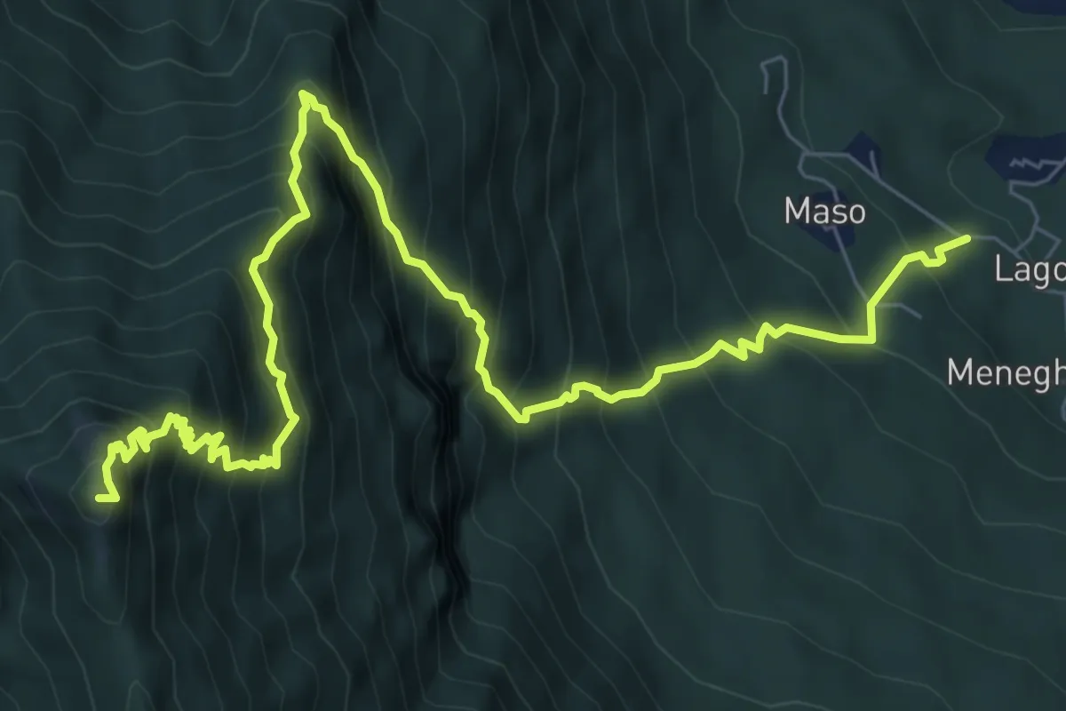
Demanding · Summit
San Ubaldo - Monte Priaforà
9.9 km · ↑ 1247 m · 5 h 3 min · 14 km away