Trails near Thiene
114 hikes starting within 15 km, nearest first.
Nearest first, page 3 of 3
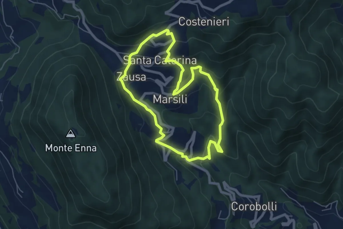
Medium · Trail
Valbona e Valmara
4.8 km · ↑ 323 m · 1 h 54 min · 14 km away
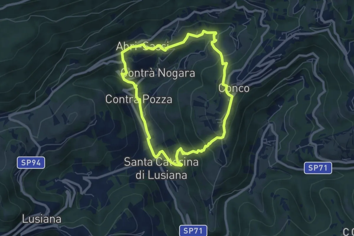
Easy · Trail
Sentiero dell'Amore
5.7 km · ↑ 302 m · 2 h 4 min · 14 km away
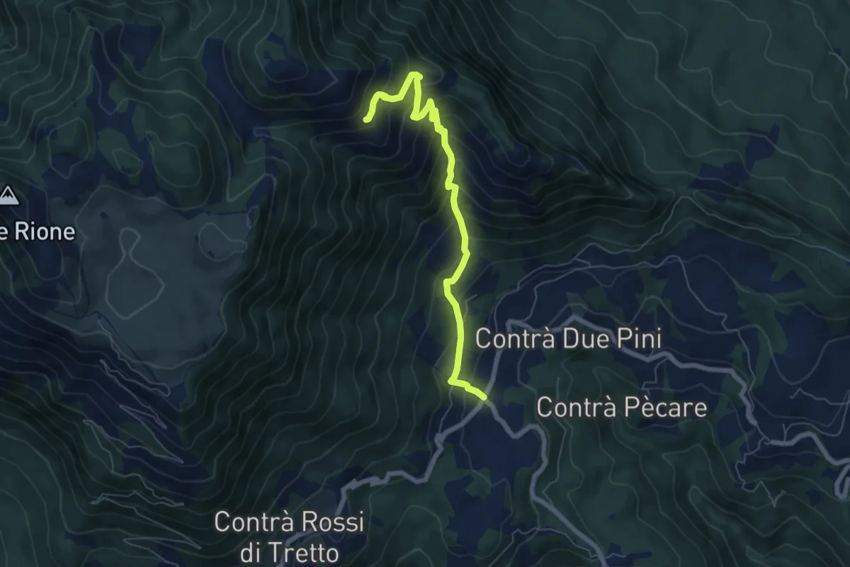
Medium · Trail
Bosco di Tretto – Innesto sentiero 455 (prima del Cimitero di Guerra)
6.4 km · ↑ 636 m · 2 h 53 min · 14 km away
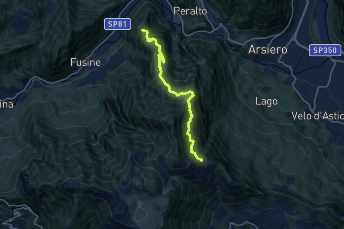
Demanding · Summit
Sentiero del Monte Aralta
10.7 km · ↑ 1060 m · 4 h 49 min · 14 km away
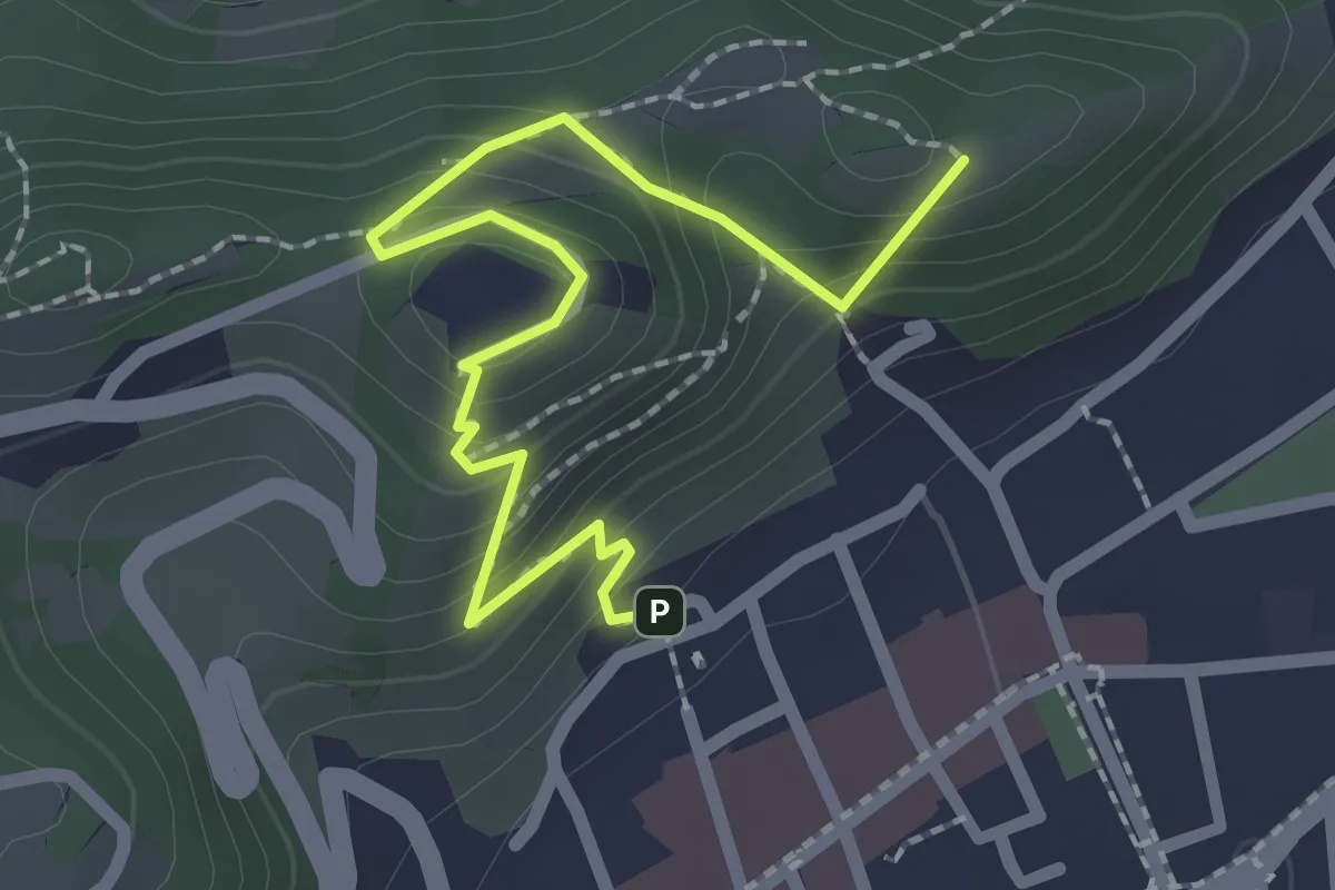
Easy · Summit
Sentiero panoramico e naturalistico
2.5 km · ↑ 165 m · 57 min · 14 km away
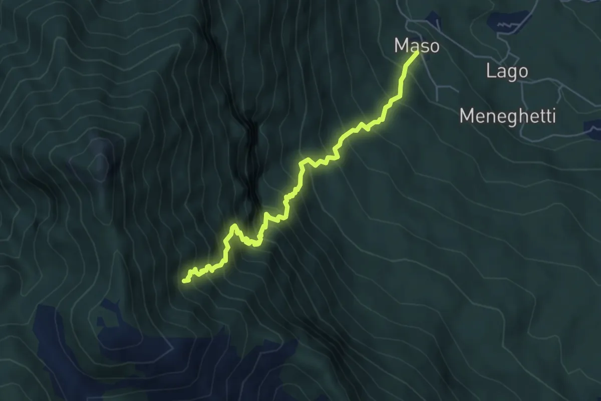
Demanding · Trail
Contrà Maso di Velo d'Astico – Pendii di Monte Giove (innesto sentiero 477)
5.7 km · ↑ 856 m · 3 h 12 min · 14 km away
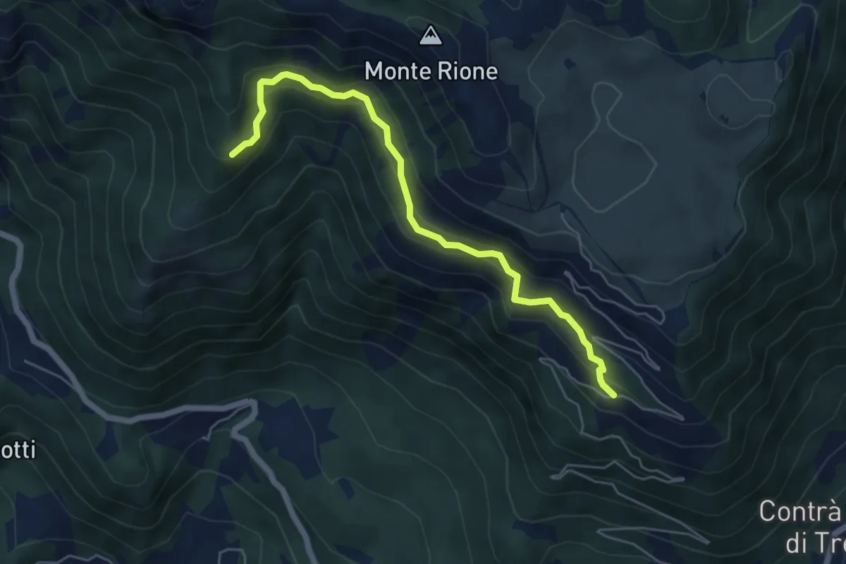
Medium · Trail
sotto Malga Pianeti (parcheggio) - da sent. 422 – Malga Ronchetta bivio sent. 411
5.5 km · ↑ 414 m · 2 h 11 min · 14 km away
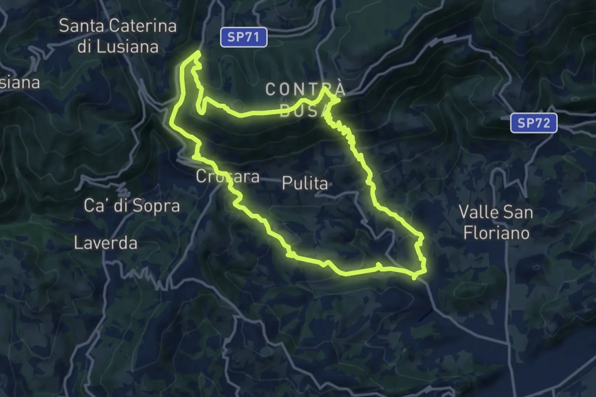
Medium · Summit
Marostica – Marostica
13.3 km · ↑ 681 m · 4 h 48 min · 14 km away
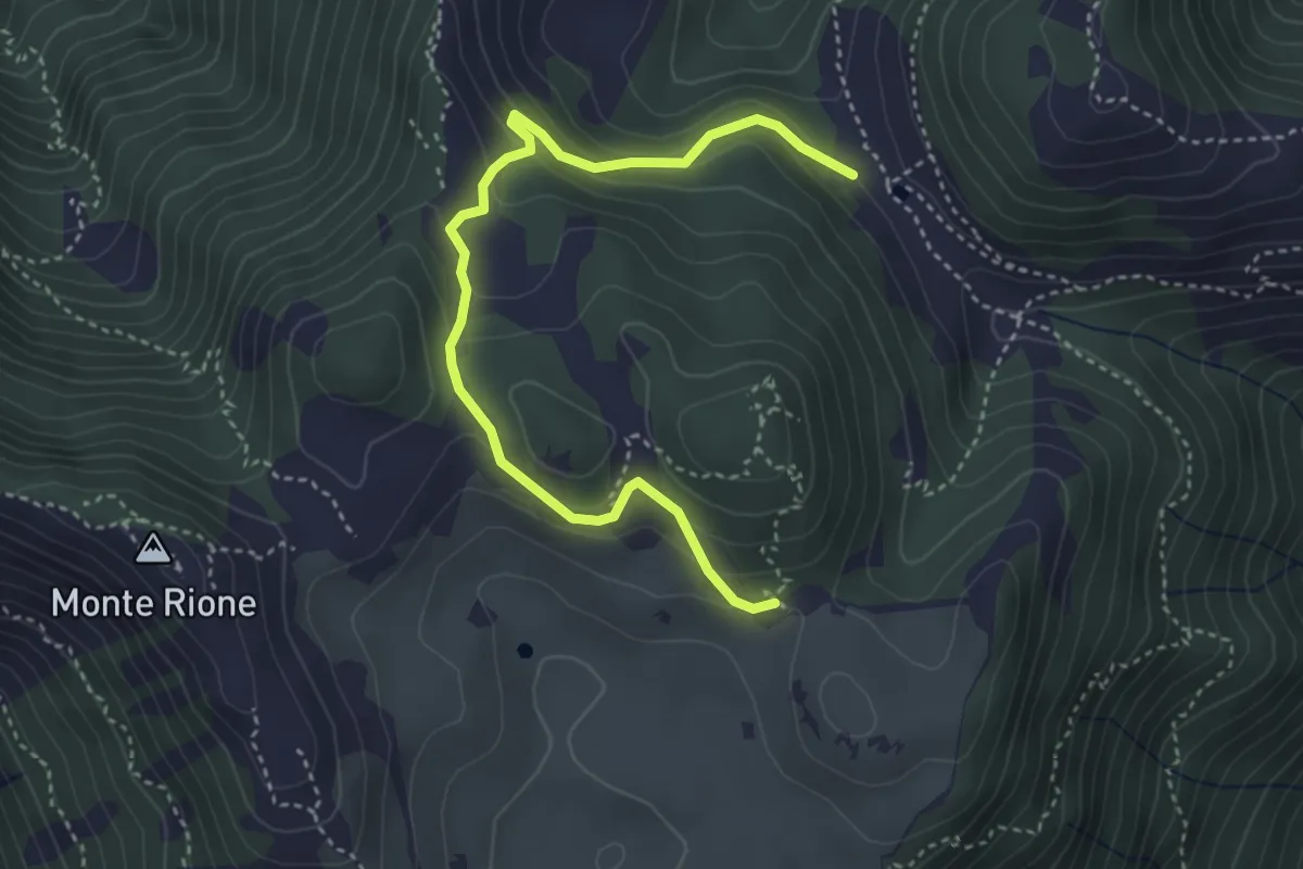
Easy · Trail
Variante Cima Alta
4.2 km · ↑ 238 m · 1 h 31 min · 15 km away
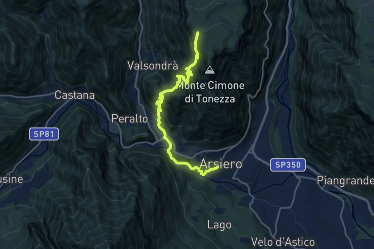
Demanding · Trail
Sentiero degli Alpini
11.7 km · ↑ 994 m · 4 h 55 min · 15 km away
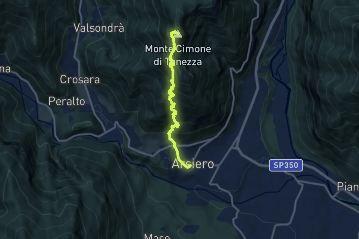
Demanding · Summit
Arsiero – Monte Cimone
7.0 km · ↑ 869 m · 3 h 32 min · 15 km away
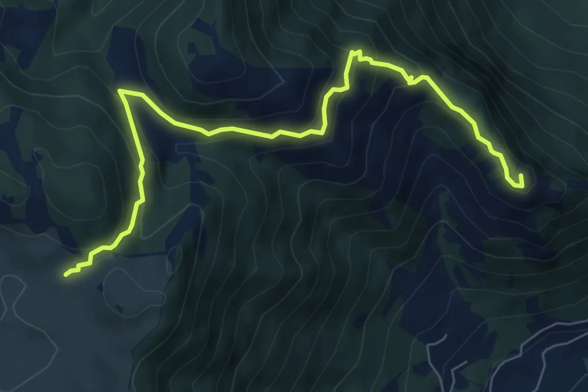
Medium · Summit
Colletto Piccolo - Busa Novegno
7.6 km · ↑ 508 m · 2 h 53 min · 15 km away
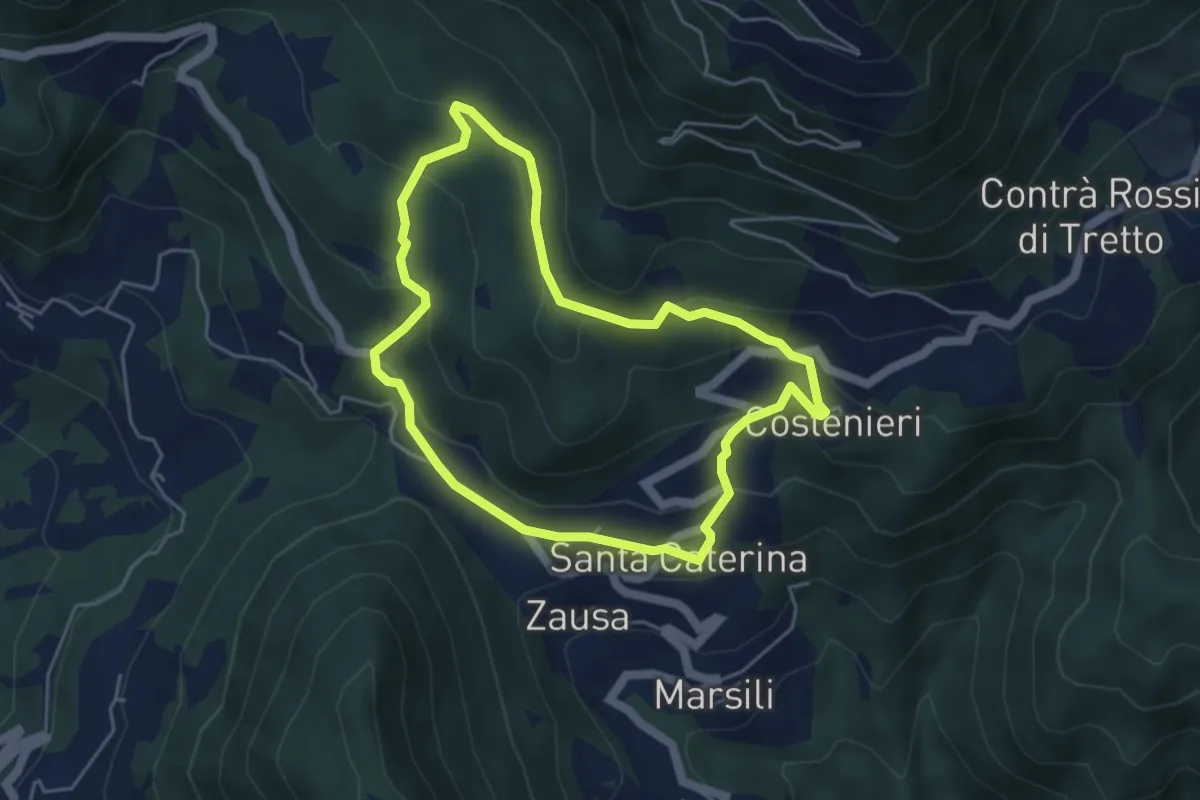
Easy · Trail
Santa Caterinella
4.4 km · ↑ 218 m · 1 h 35 min · 15 km away
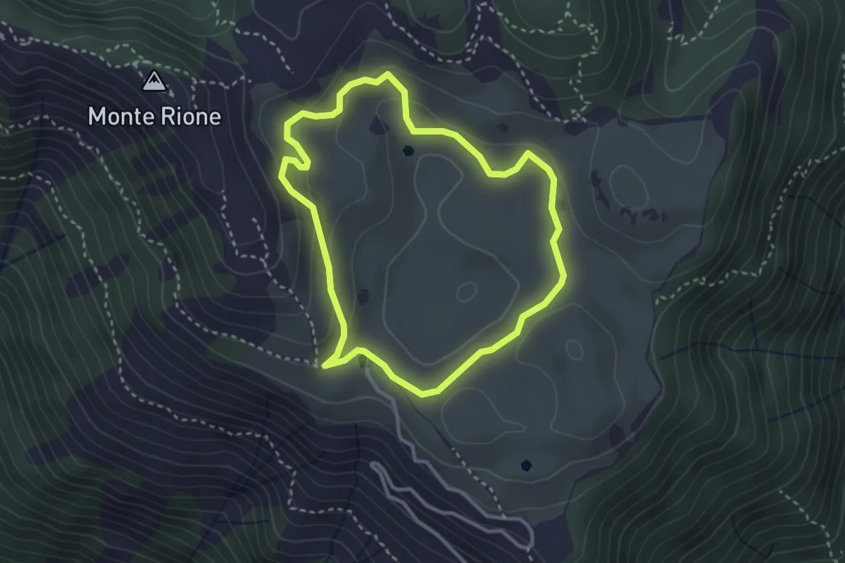
Easy · Trail
Anello di Busa Novegno
2.8 km · ↑ 92 m · 54 min · 15 km away
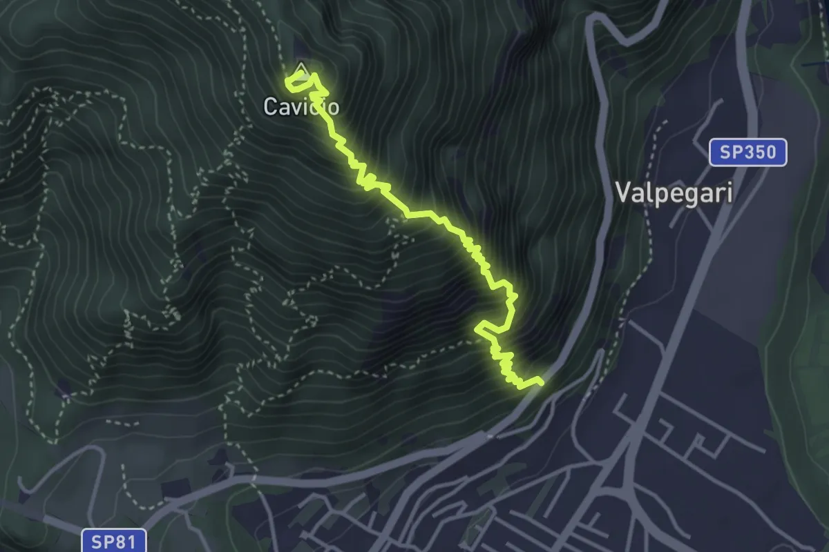
Demanding · Summit
Arsiero (strada per Tonezza del Cimone) – Baito Smaniotto innesto sent. 542
3.9 km · ↑ 756 m · 2 h 33 min · 15 km away
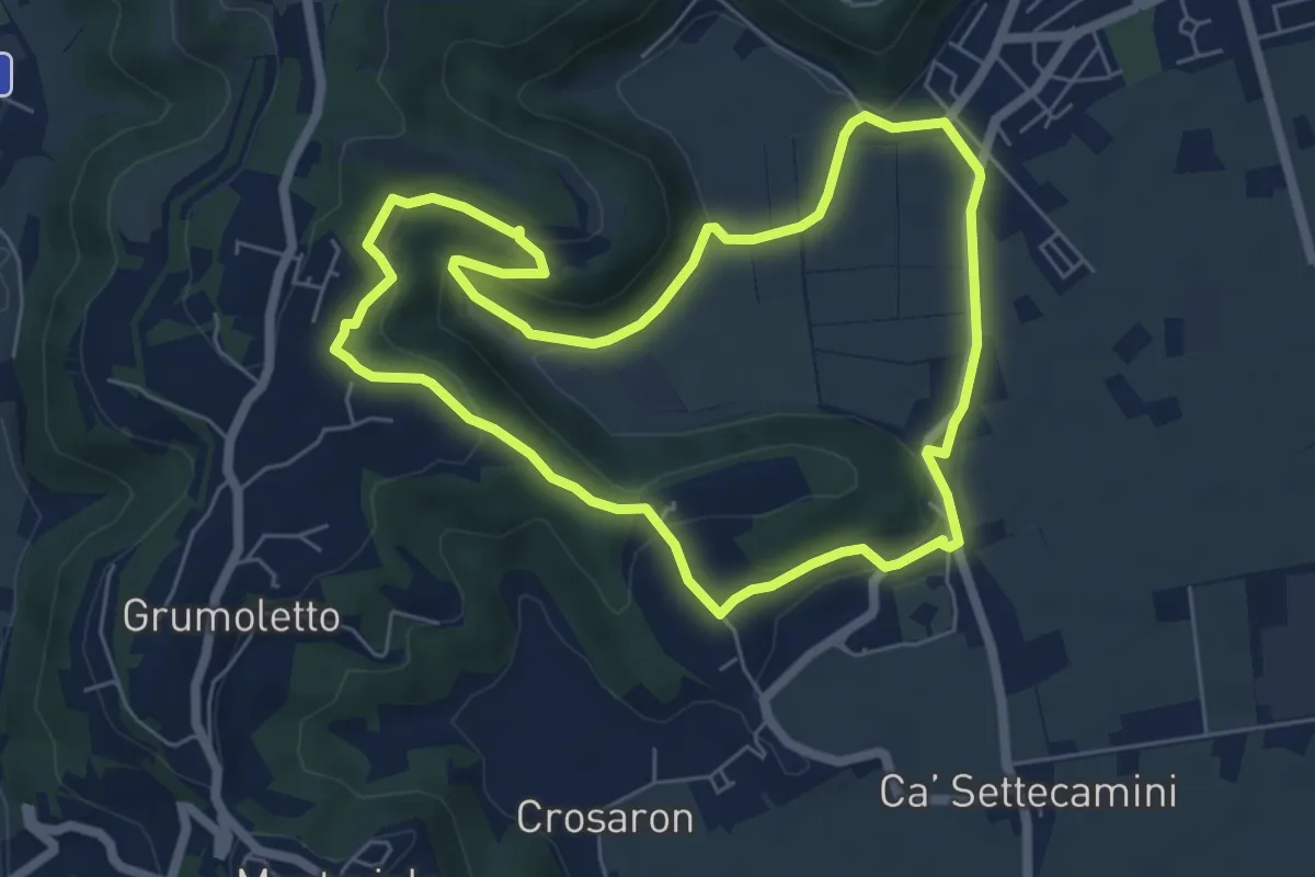
Easy · Trail
Sentiero del Perozzo
6.2 km · ↑ 160 m · 1 h 53 min · 15 km away
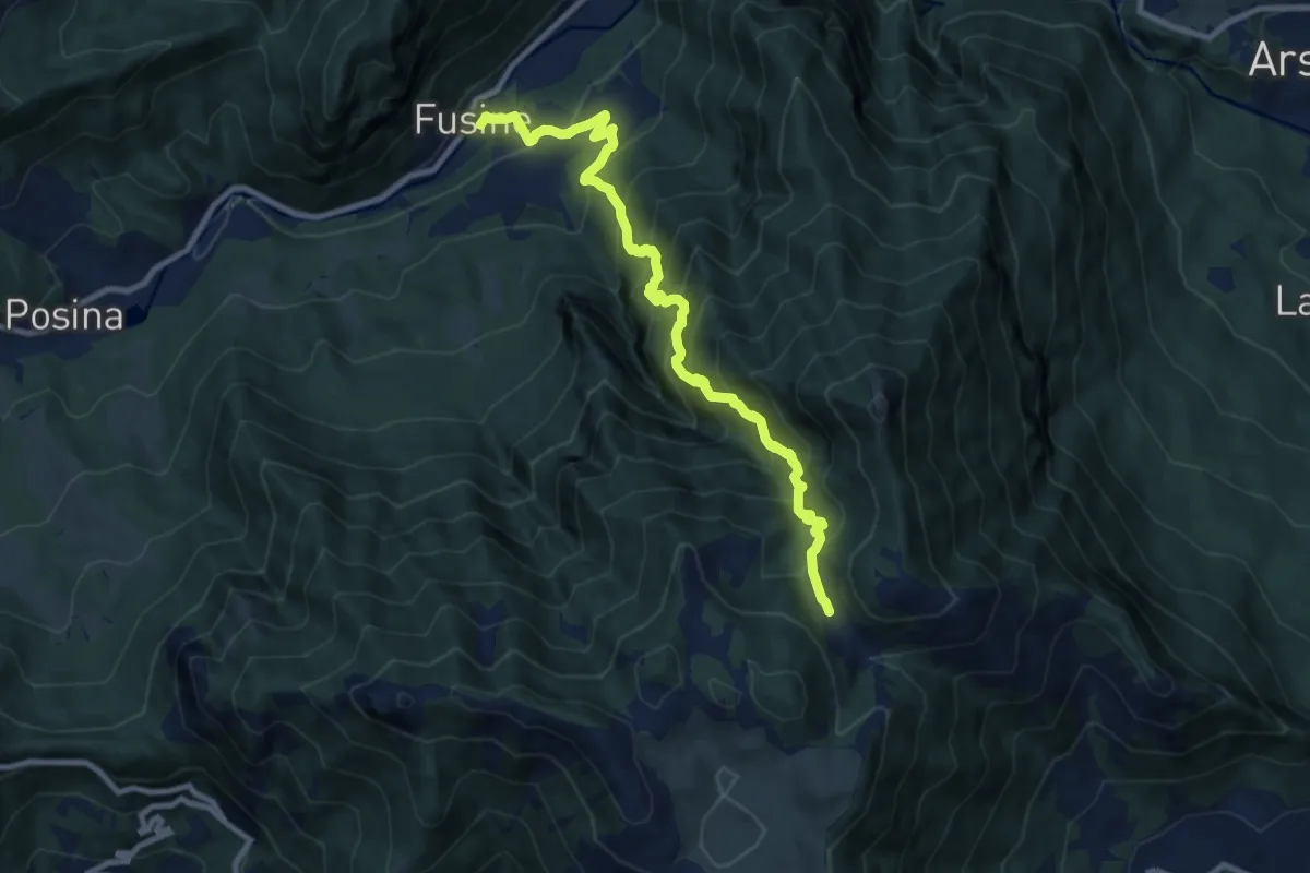
Demanding · Trail
Val del Rio
10.1 km · ↑ 1198 m · 4 h 59 min · 15 km away
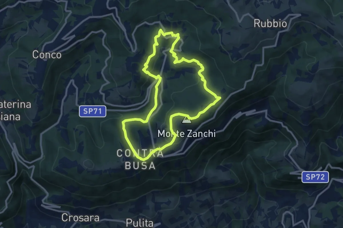
Easy · Summit
Anello di Fontanelle
7.8 km · ↑ 291 m · 2 h 35 min · 15 km away