Trails near Tirano
193 hikes starting within 15 km, nearest first.
Nearest first, page 1 of 5
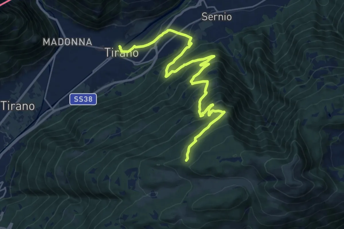
Demanding · Trail
Innesto Sentiero 205 - Innesto Sentiero 201 – Innesto Sentiero 409
20.5 km · ↑ 1346 m · 7 h 45 min · under 1 km away
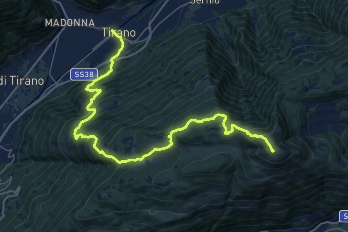
Demanding · Summit
Innesto Sentiero 201 – Monte Padrio
25.0 km · ↑ 1690 m · 9 h 34 min · under 1 km away
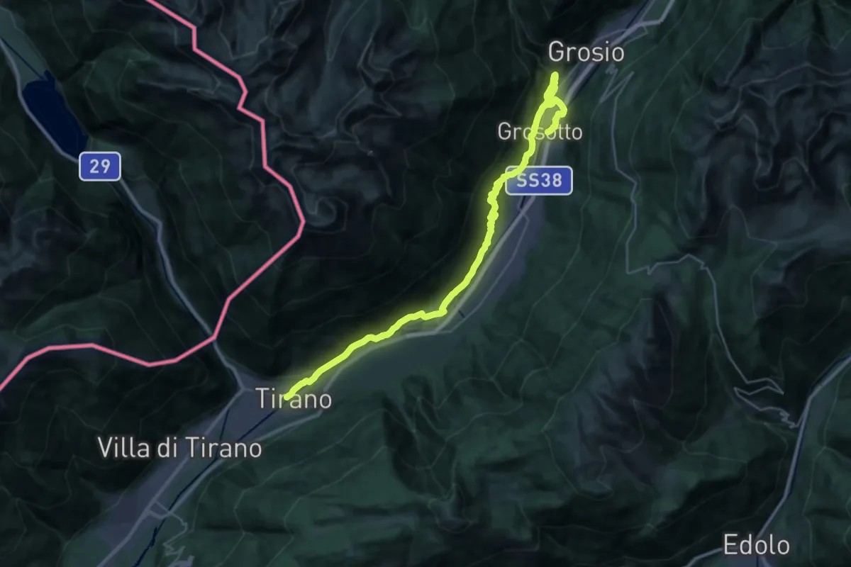
Medium · Trail
SS38 - TIrano – Prati di Punta (Grosotto)
15.7 km · ↑ 541 m · 5 h 2 min · under 1 km away
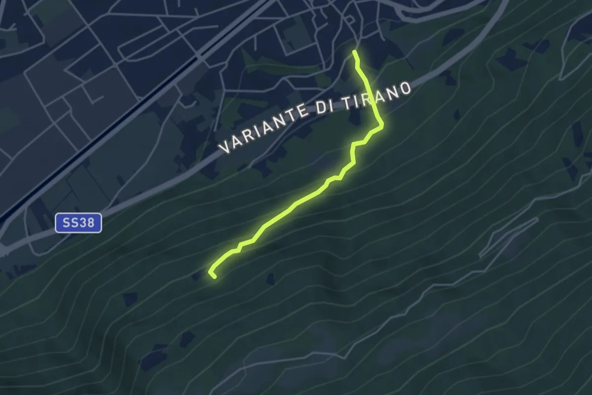
Medium · Trail
Innesto Sentiero 405 – Innesto Sentiero 411
3.2 km · ↑ 336 m · 1 h 29 min · under 1 km away
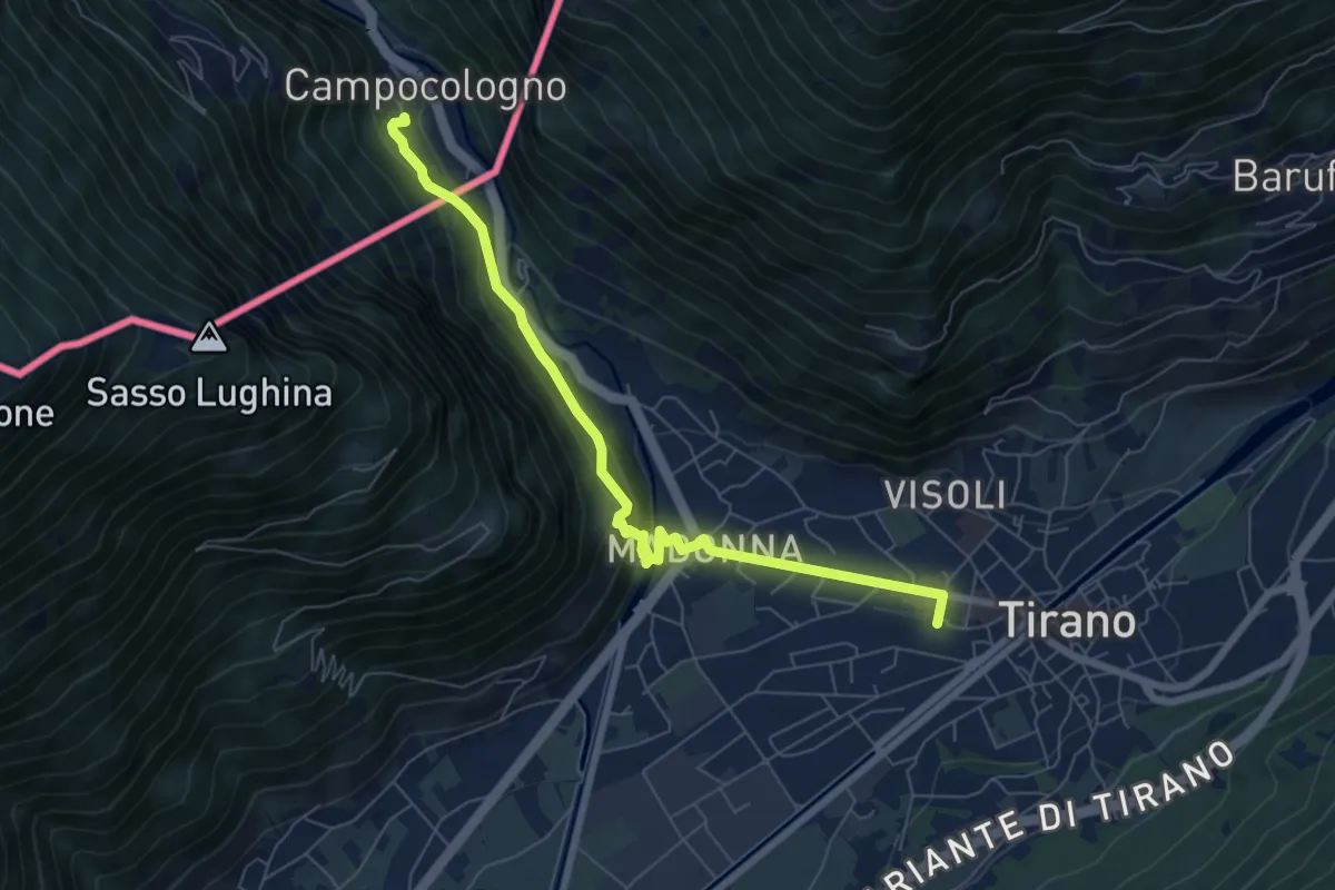
Medium · Trail
Via Albula/Bernina
7.1 km · ↑ 325 m · 2 h 23 min · under 1 km away
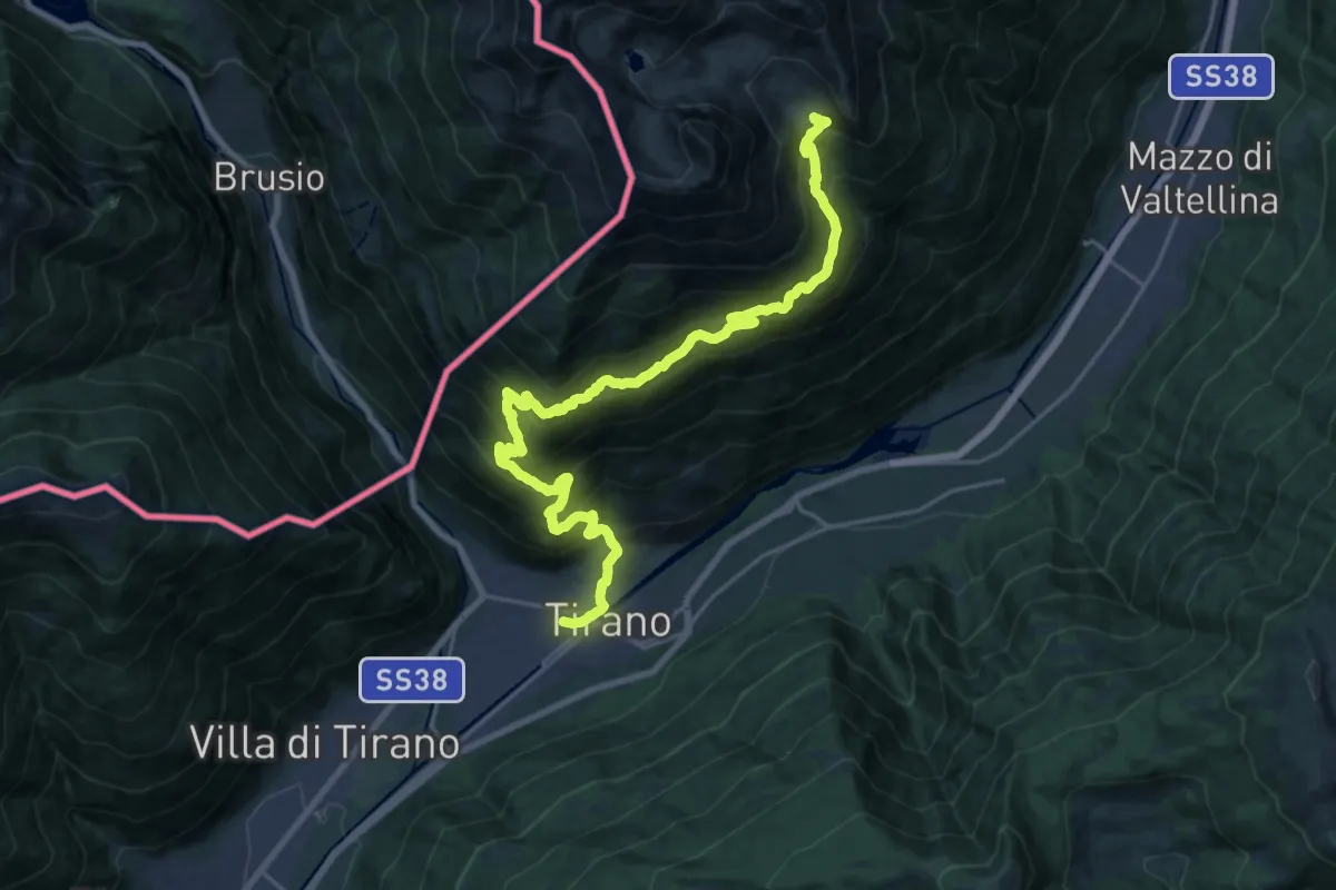
Demanding · Cabin
Tirano Stazione – Rifugio Schiazzera
12.4 km · ↑ 1890 m · 6 h 22 min · under 1 km away
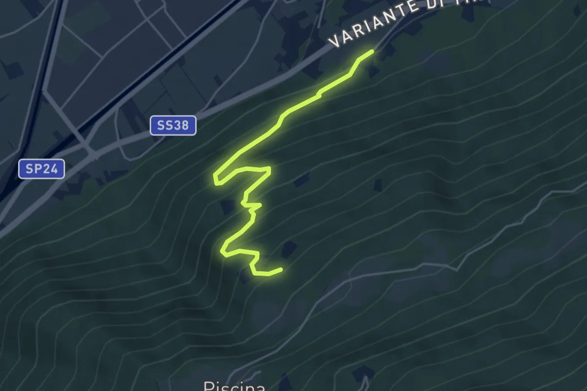
Medium · Trail
Innesto Sentiero 413 – Innesto Sentiero 411
4.5 km · ↑ 433 m · 2 h · 1 km away
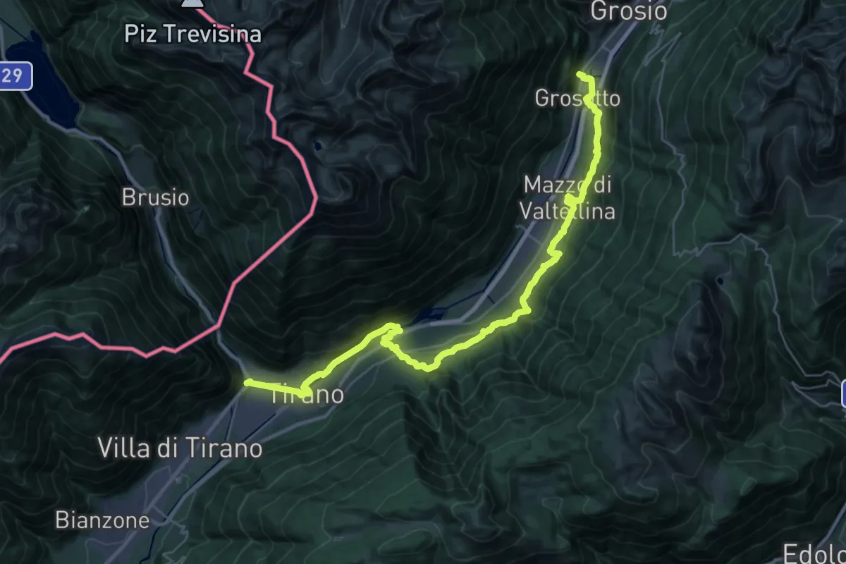
Medium · Pilgrim path
Cammino Mariano delle Alpi - Via Orientale - Tappa 3
17.7 km · ↑ 625 m · 5 h 42 min · 1 km away
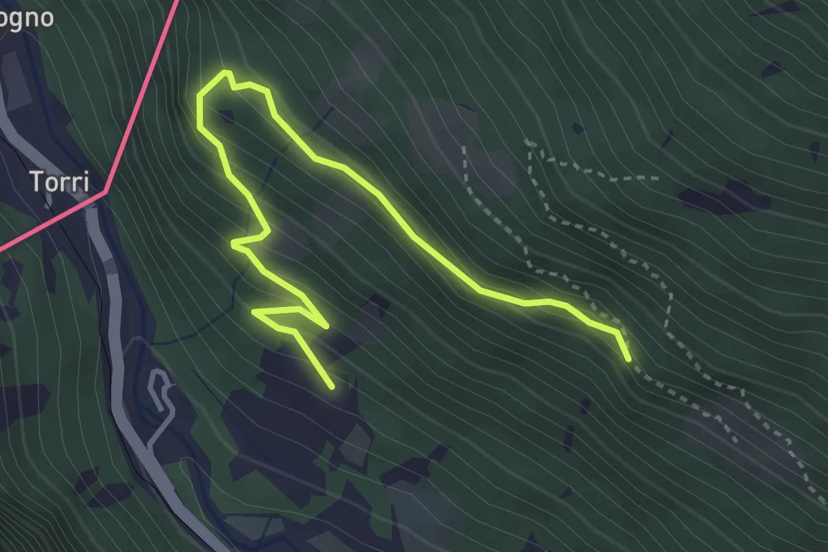
Medium · Trail
Via Roma (Grosio) – Via Rasica (San Rocco)
3.9 km · ↑ 324 m · 1 h 37 min · 2 km away
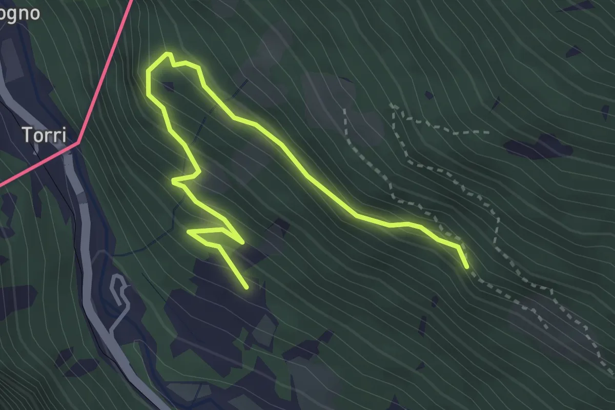
Medium · Trail
Sentiero del Sole
3.9 km · ↑ 324 m · 1 h 37 min · 2 km away
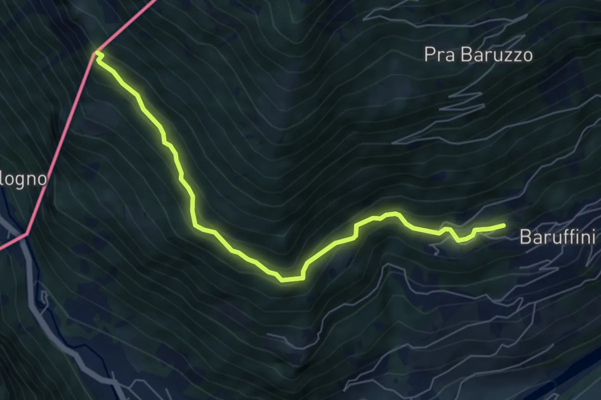
Medium · Trail
Case Alte (Baruffini) – Caserma di Finanza
6.7 km · ↑ 467 m · 2 h 35 min · 2 km away
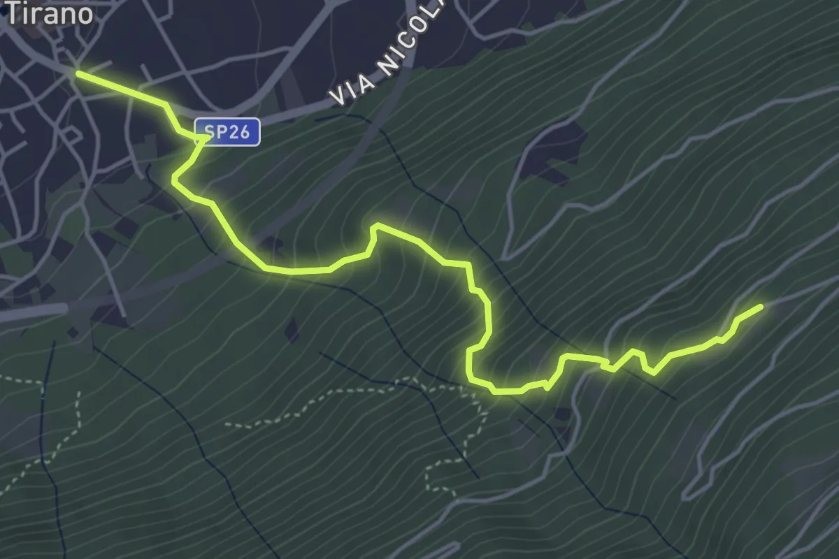
Medium · Trail
Innesto Sentiero 405 – Innesto Sentiero 421
5.2 km · ↑ 639 m · 2 h 37 min · 2 km away
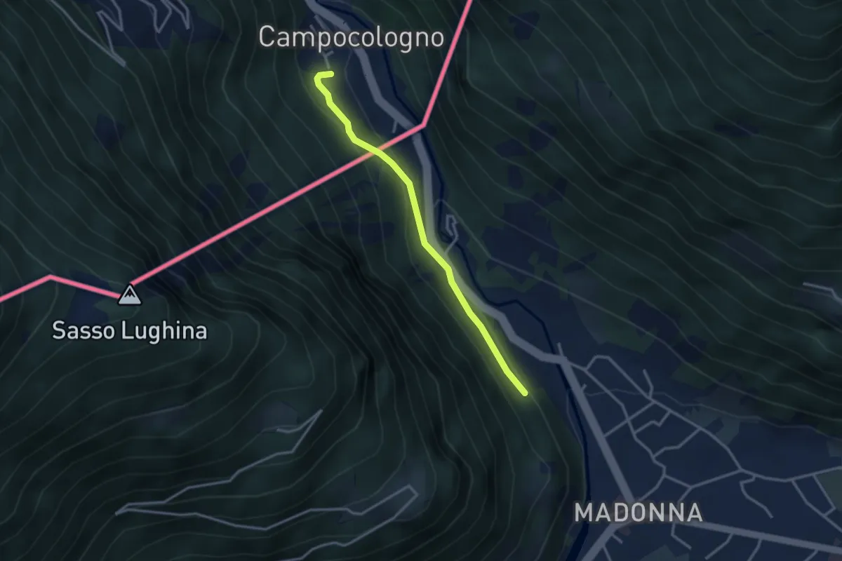
Easy · Trail
Sondrio – Campocologno
2.9 km · ↑ 131 m · 58 min · 2 km away
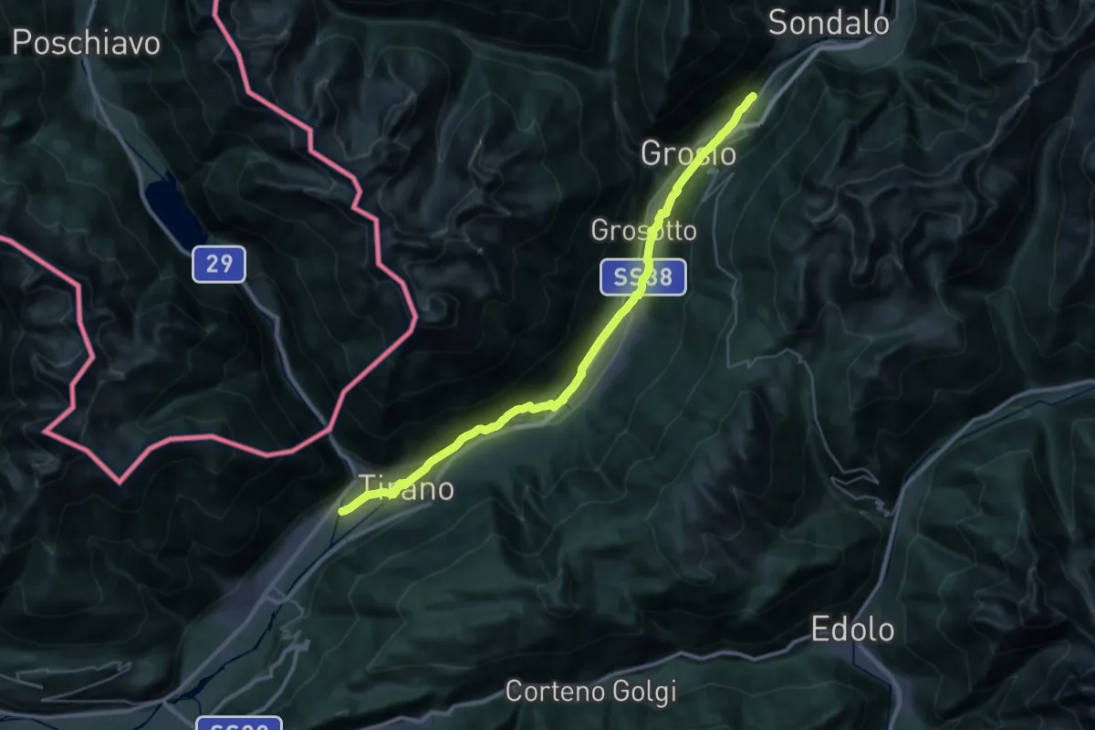
Demanding · Trail
Lungoargine Poschiavino – 279
18.2 km · ↑ 377 m · 5 h 12 min · 2 km away
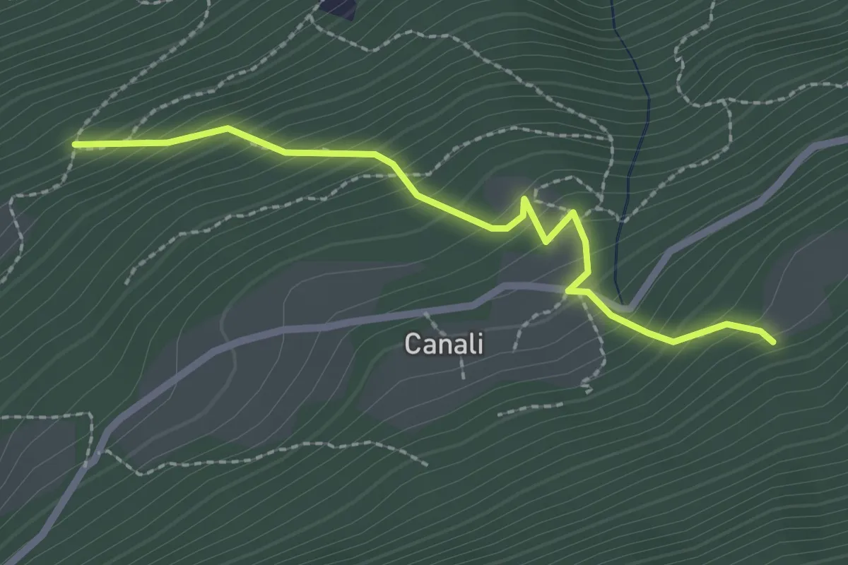
Medium · Trail
Innesto Sentiero 411 – Innesto Sentiero 402
2.3 km · ↑ 282 m · 1 h 9 min · 2 km away
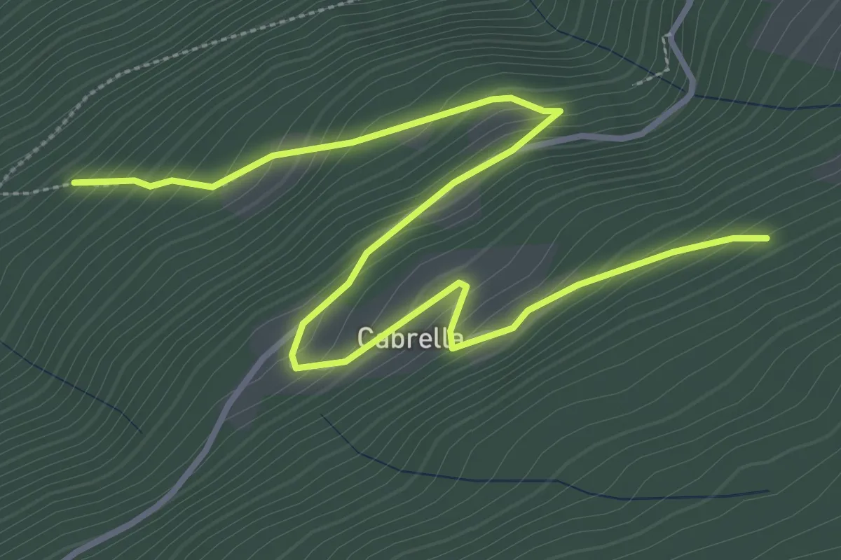
Easy · Trail
Innesto Sentiero 425 – Innesto Sentiero 421
4.5 km · ↑ 318 m · 1 h 46 min · 2 km away
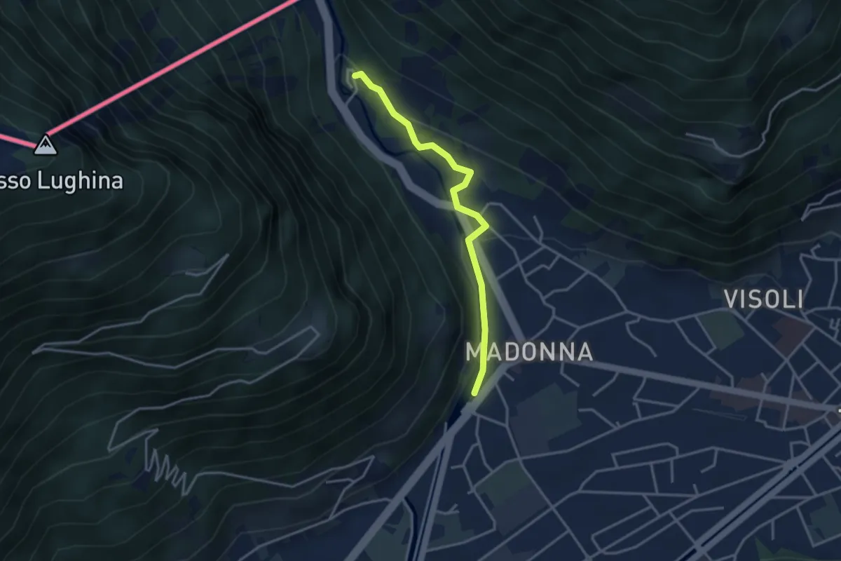
Easy · Trail
Tirano – Torri
3.2 km · ↑ 86 m · 56 min · 2 km away
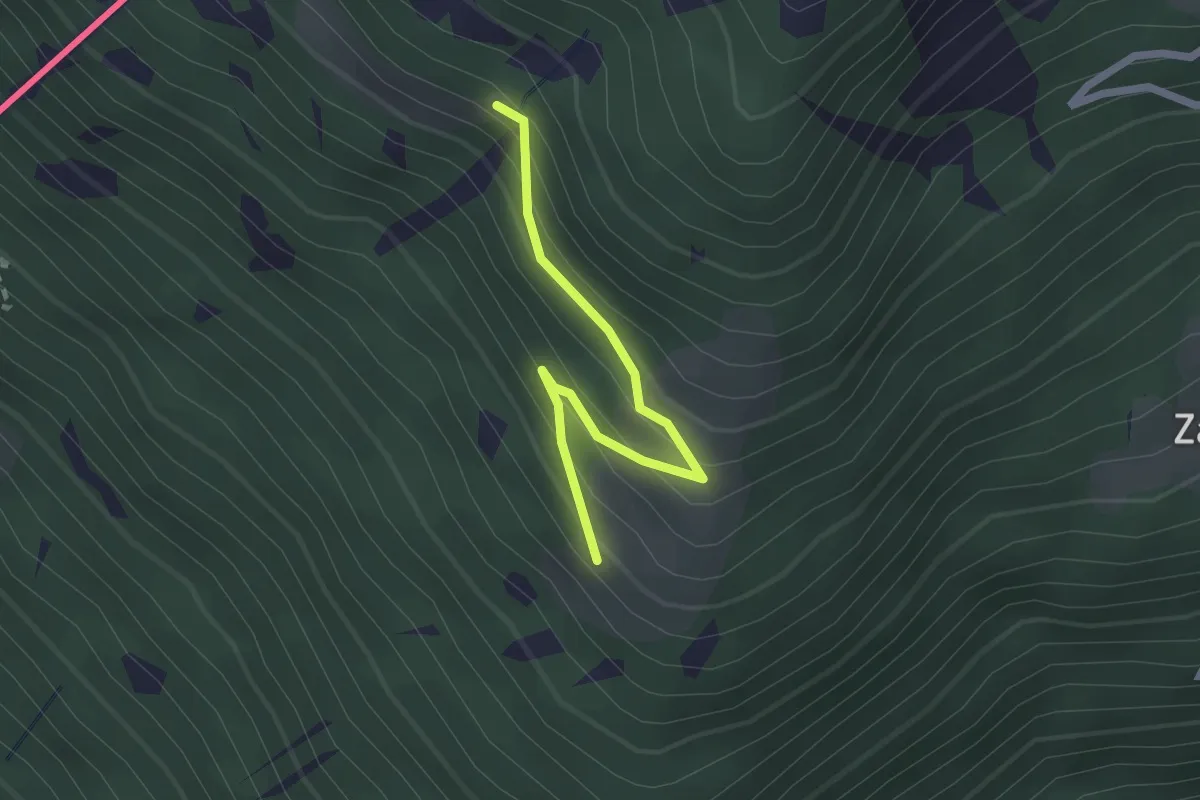
Easy · Trail
Innesto Sentiero 204 – Innesto Sentiero 201
2.1 km · ↑ 171 m · 52 min · 2 km away
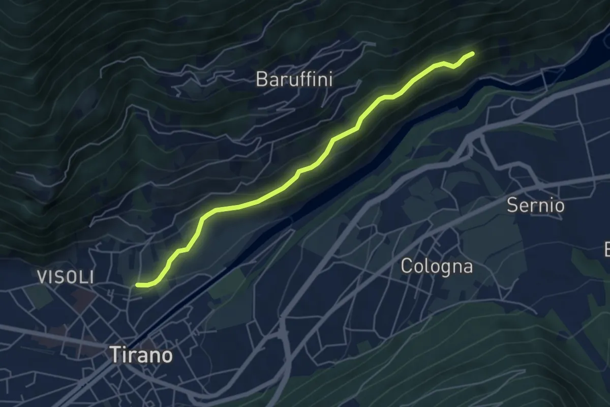
Easy · Trail
Innesto Sentiero 221 – Innesto Sentiero 201
5.1 km · ↑ 254 m · 1 h 46 min · 3 km away
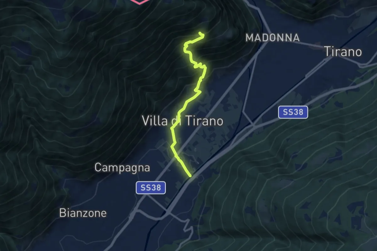
Medium · Trail
Via Argine Destro (Villa di Tirano) – Innesto Sentiero 301
7.9 km · ↑ 619 m · 3 h 12 min · 3 km away
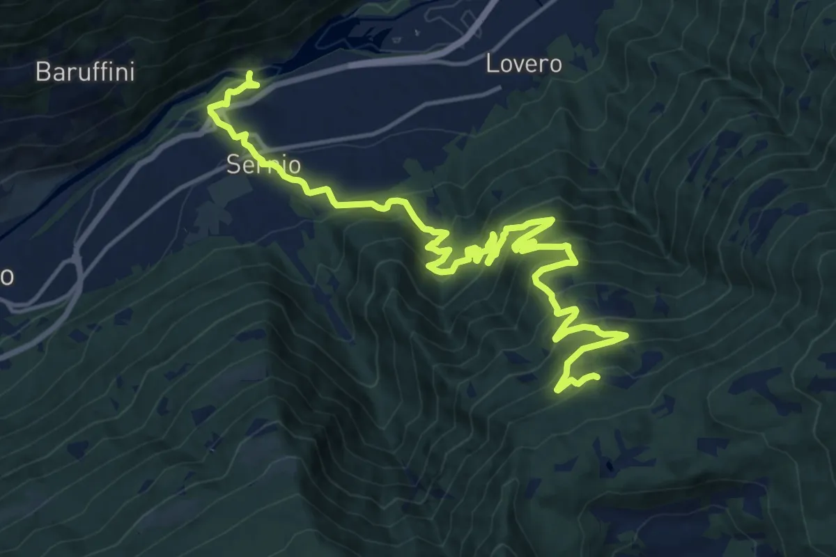
Demanding · Trail
Innesto Sentiero 203 – Innesto Sentiero 435
19.8 km · ↑ 1410 m · 7 h 43 min · 3 km away
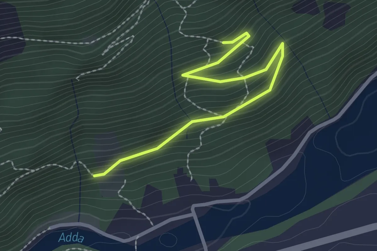
Easy · Trail
221 – 223
2.4 km · ↑ 150 m · 54 min · 3 km away
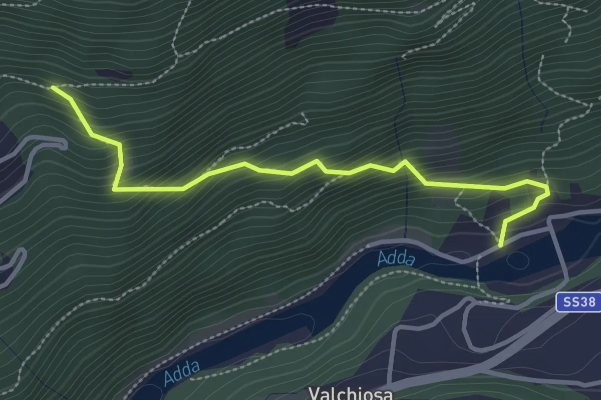
Medium · Trail
Diga di Sernio – 202
2.8 km · ↑ 329 m · 1 h 22 min · 3 km away
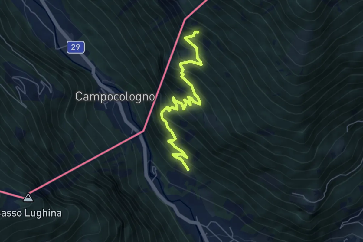
Medium · Trail
Via San Rocco (San Rocco() – Sasso del Gallo
5.8 km · ↑ 634 m · 2 h 44 min · 3 km away
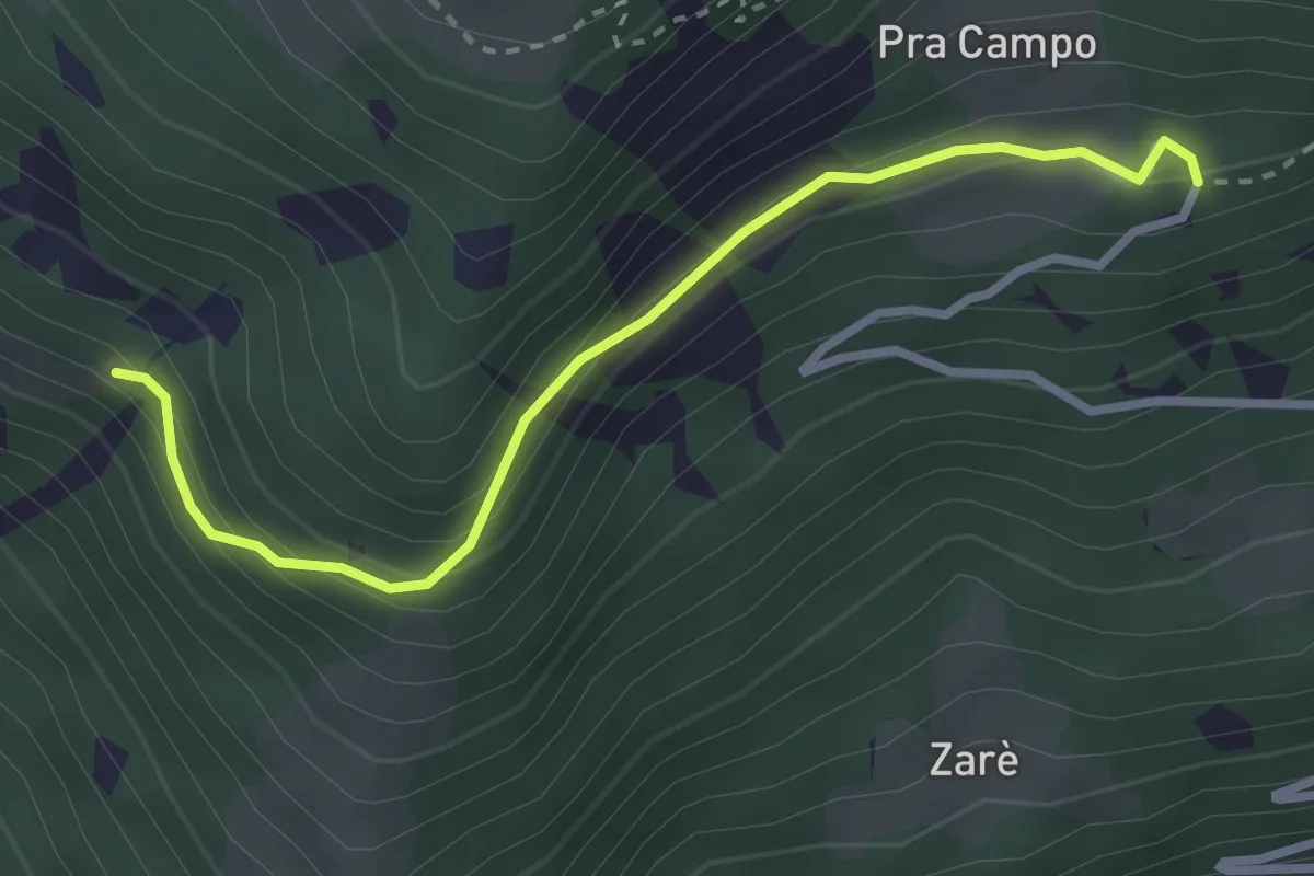
Easy · Trail
Prò Campo – Le Zocche
3.0 km · ↑ 164 m · 1 h 3 min · 3 km away
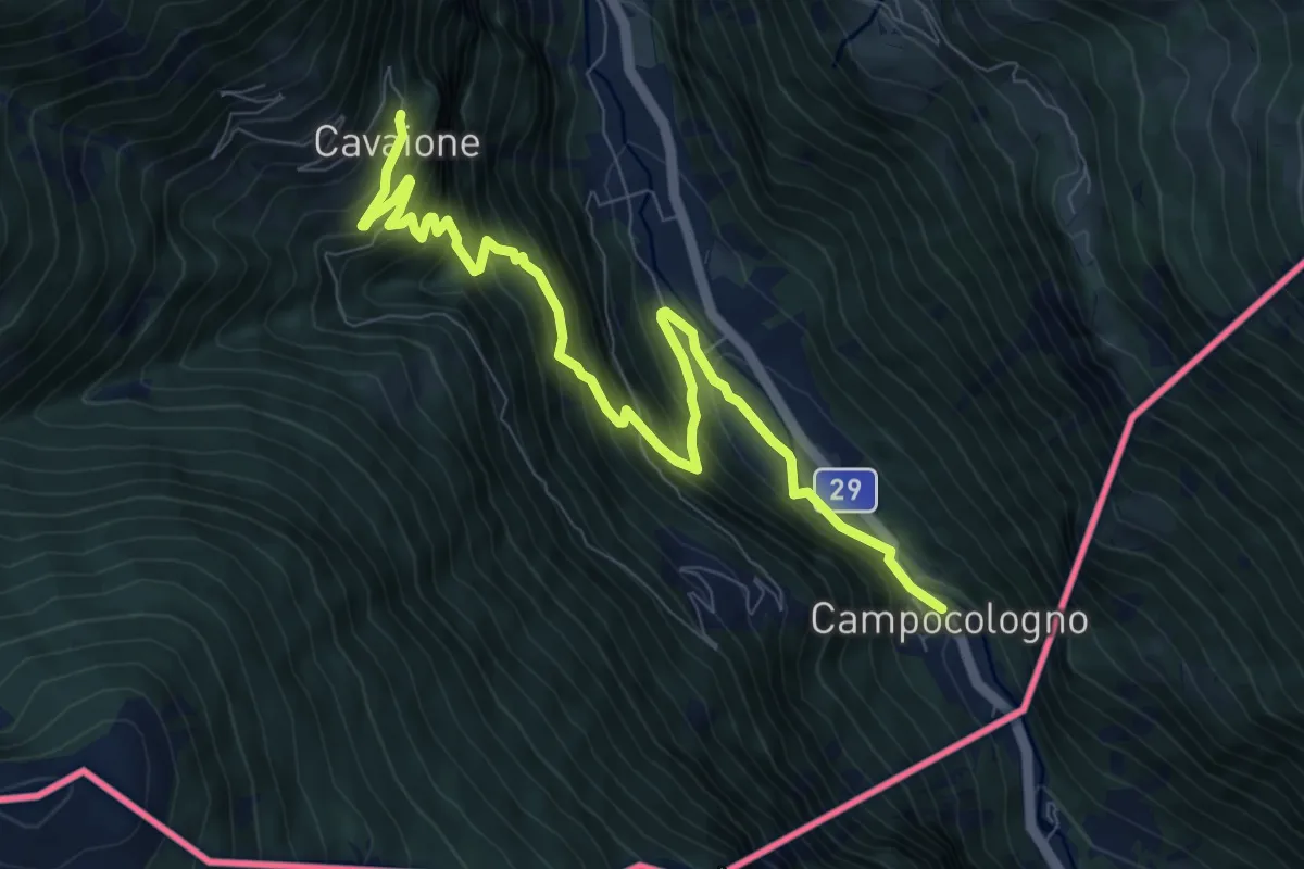
Demanding · Trail
Campocologno - Zalende - Cavaione
9.8 km · ↑ 846 m · 4 h 8 min · 3 km away
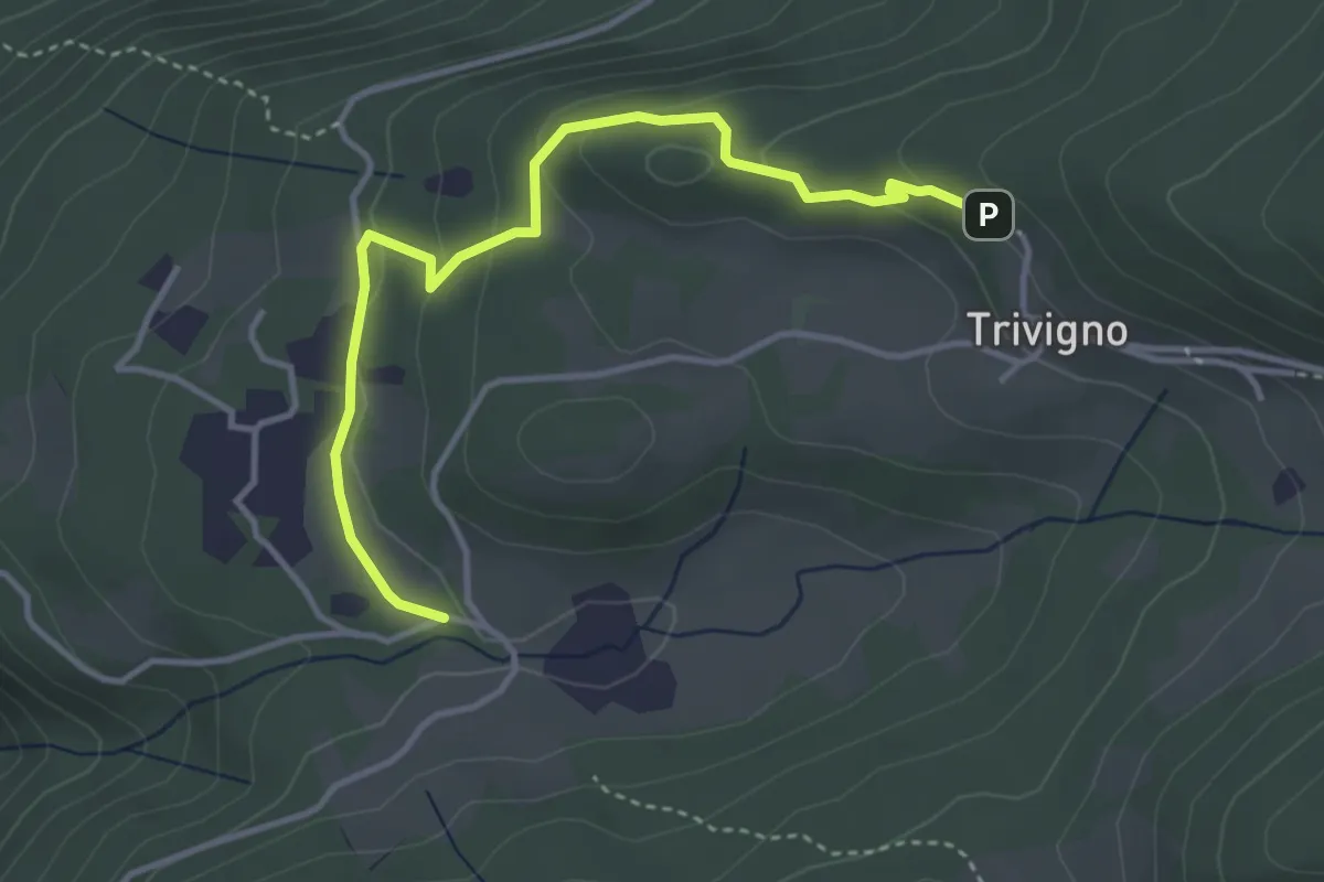
Medium · Trail
Innesto Sentiero 411 – Innesto Sentiero 411
3.9 km · ↑ 131 m · 1 h 13 min · 3 km away
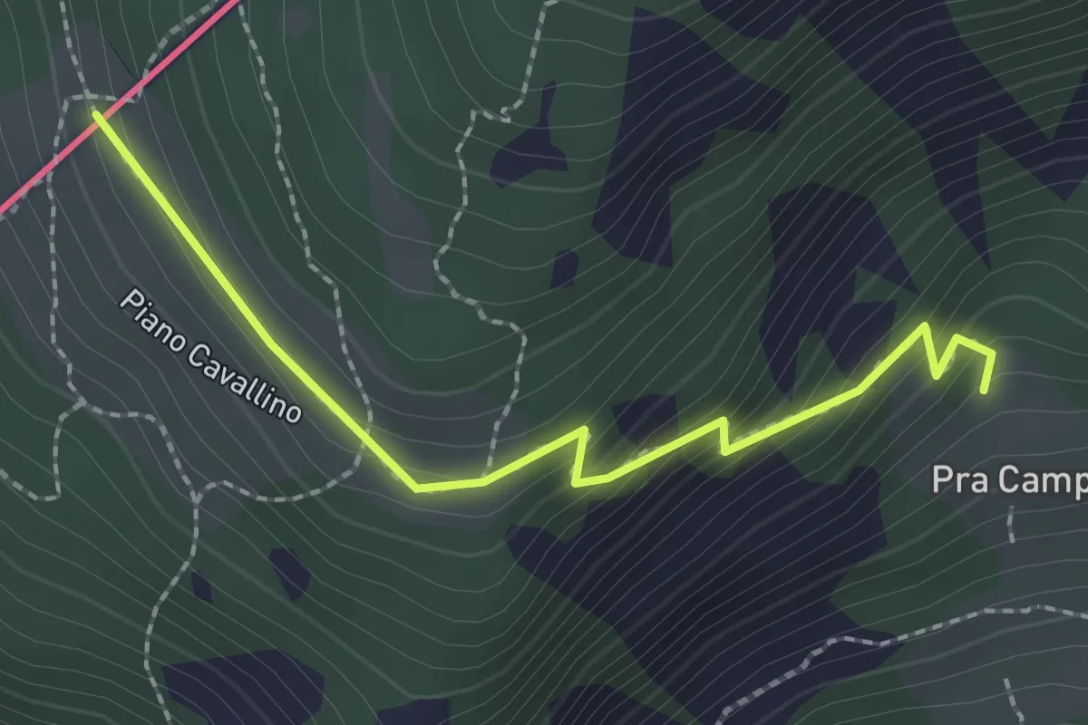
Easy · Trail
201 – Piano Cavallino
2.3 km · ↑ 172 m · 54 min · 3 km away
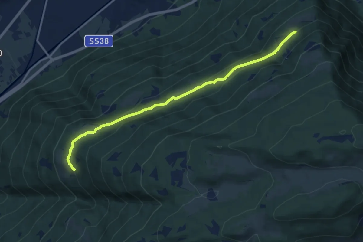
Medium · Trail
Innesto Sentiero 421 – Innesto Sentiero 410
8.8 km · ↑ 480 m · 3 h 7 min · 3 km away
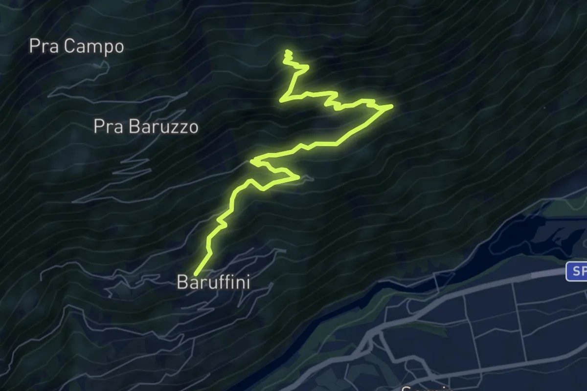
Demanding · Trail
Baruffini – 201
8.5 km · ↑ 826 m · 3 h 48 min · 3 km away
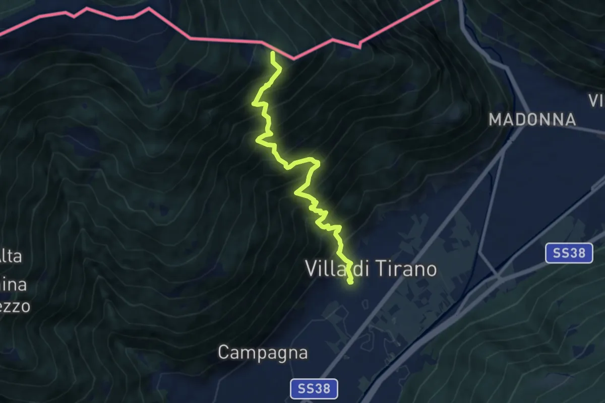
Demanding · Summit
Piazza Luigi Torelli (Villa di Tirano) – Innesto Sentiero 301
8.6 km · ↑ 1355 m · 4 h 58 min · 4 km away
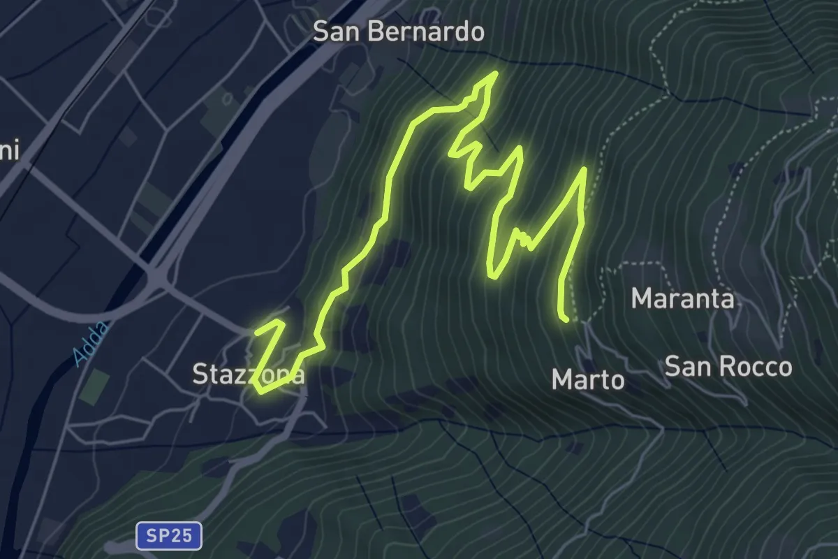
Medium · Trail
Innesto Sentiero 410 – Innesto Sentiero 410
7.9 km · ↑ 468 m · 2 h 52 min · 4 km away
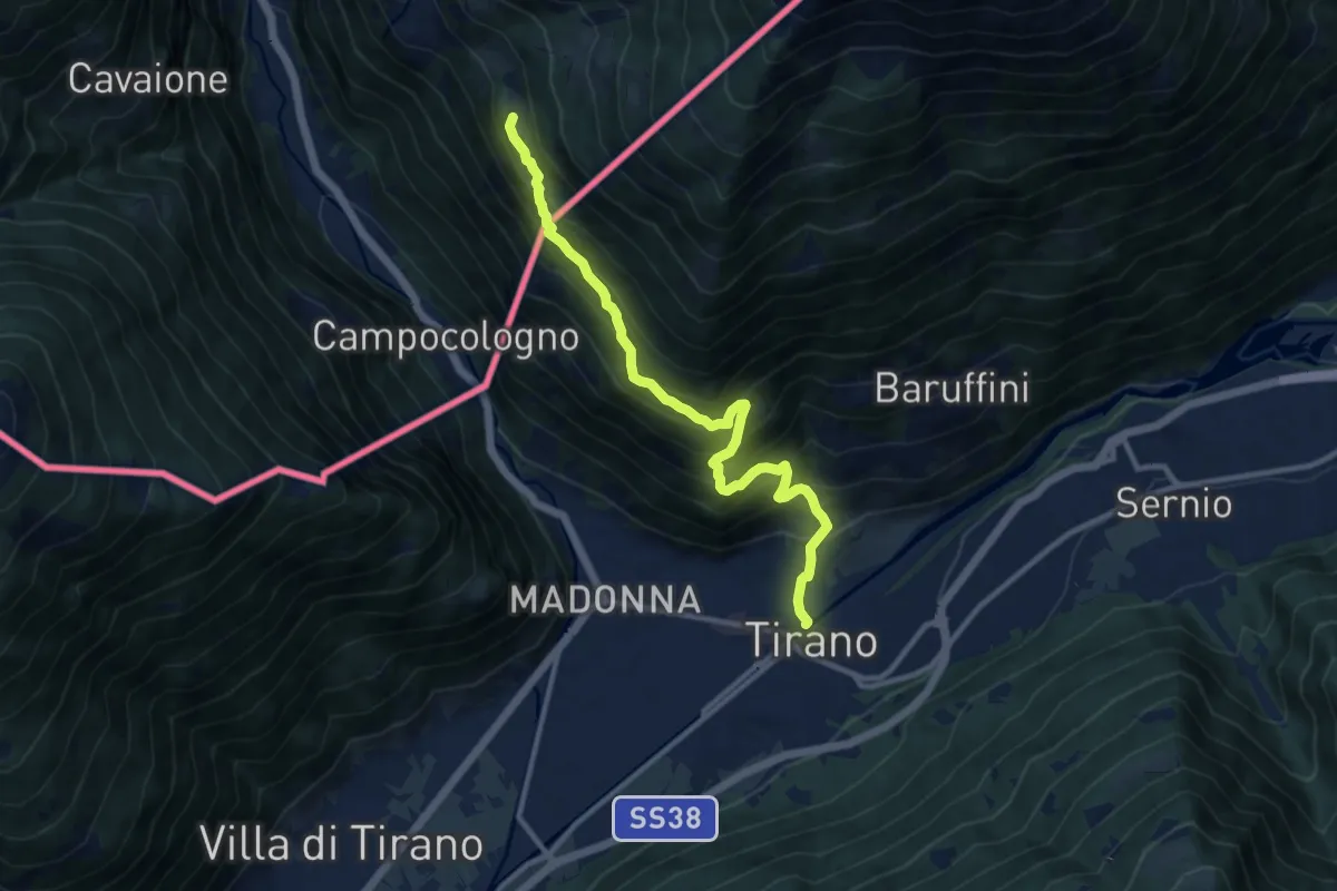
Demanding · Trail
Via Valtellina
10.9 km · ↑ 985 m · 4 h 42 min · 4 km away
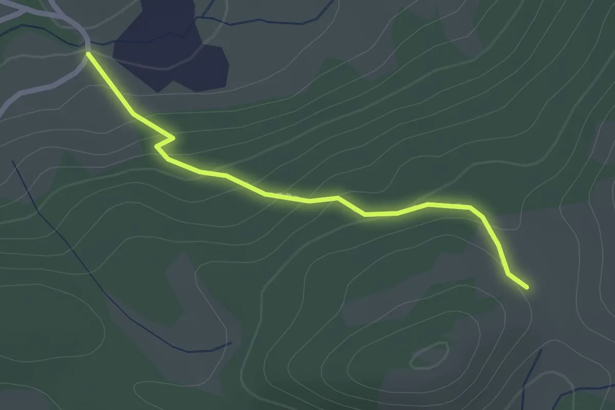
Easy · Trail
Innesto Sentiero 414 – Innesto Sentiero 320
2.0 km · ↑ 116 m · 43 min · 4 km away
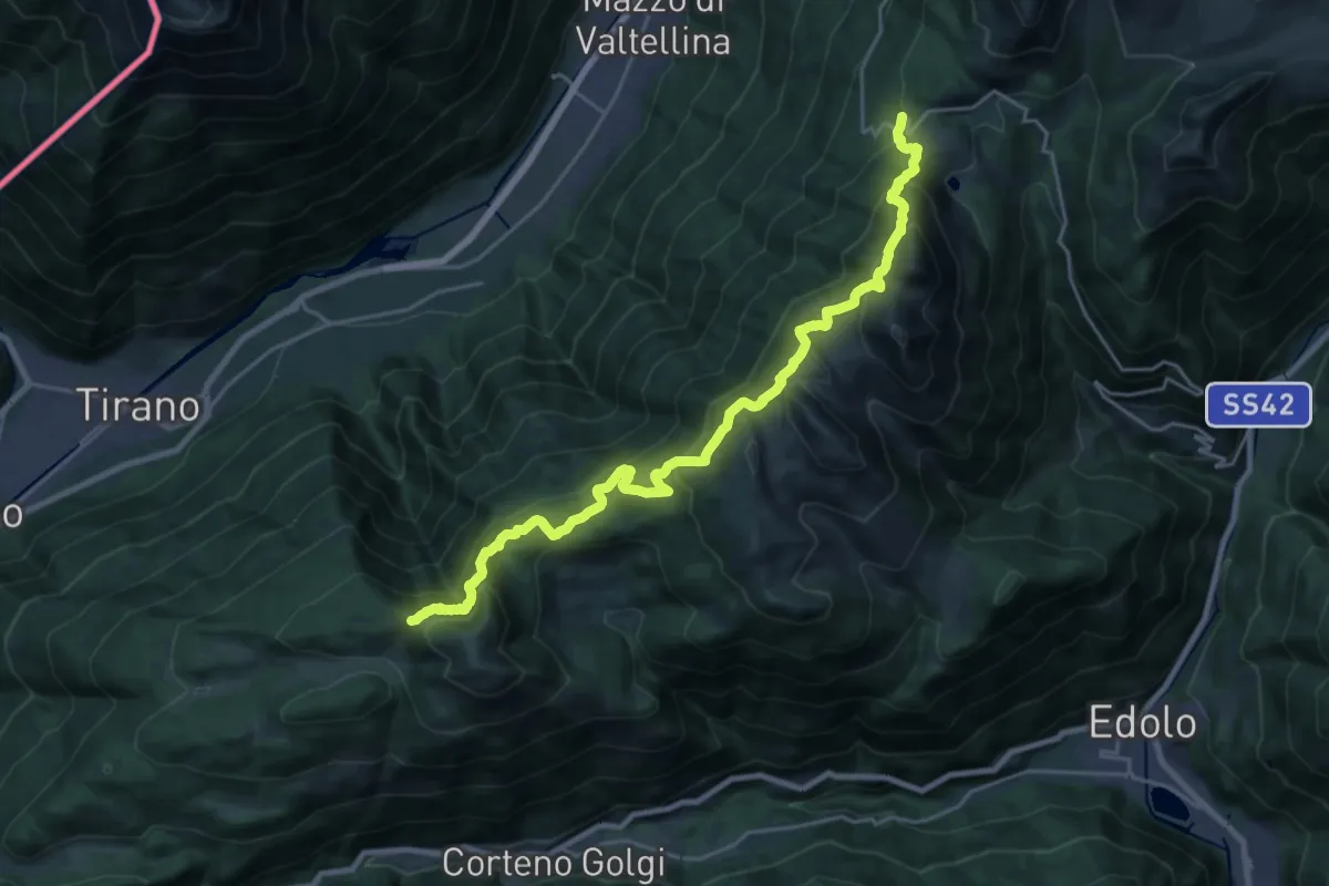
Medium · Cabin
Innesto Sentiero 411 – Innesto Sentiero 445
12.4 km · ↑ 641 m · 4 h 34 min · 4 km away
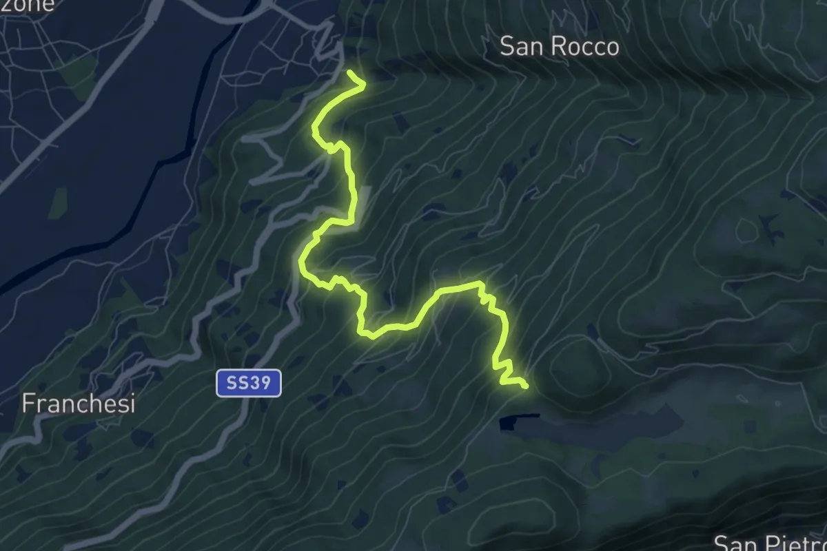
Demanding · Trail
Innesto Sentiero 410 – Incrocio Sentiero 349 - Sentiero 349
9.0 km · ↑ 932 m · 4 h 9 min · 4 km away
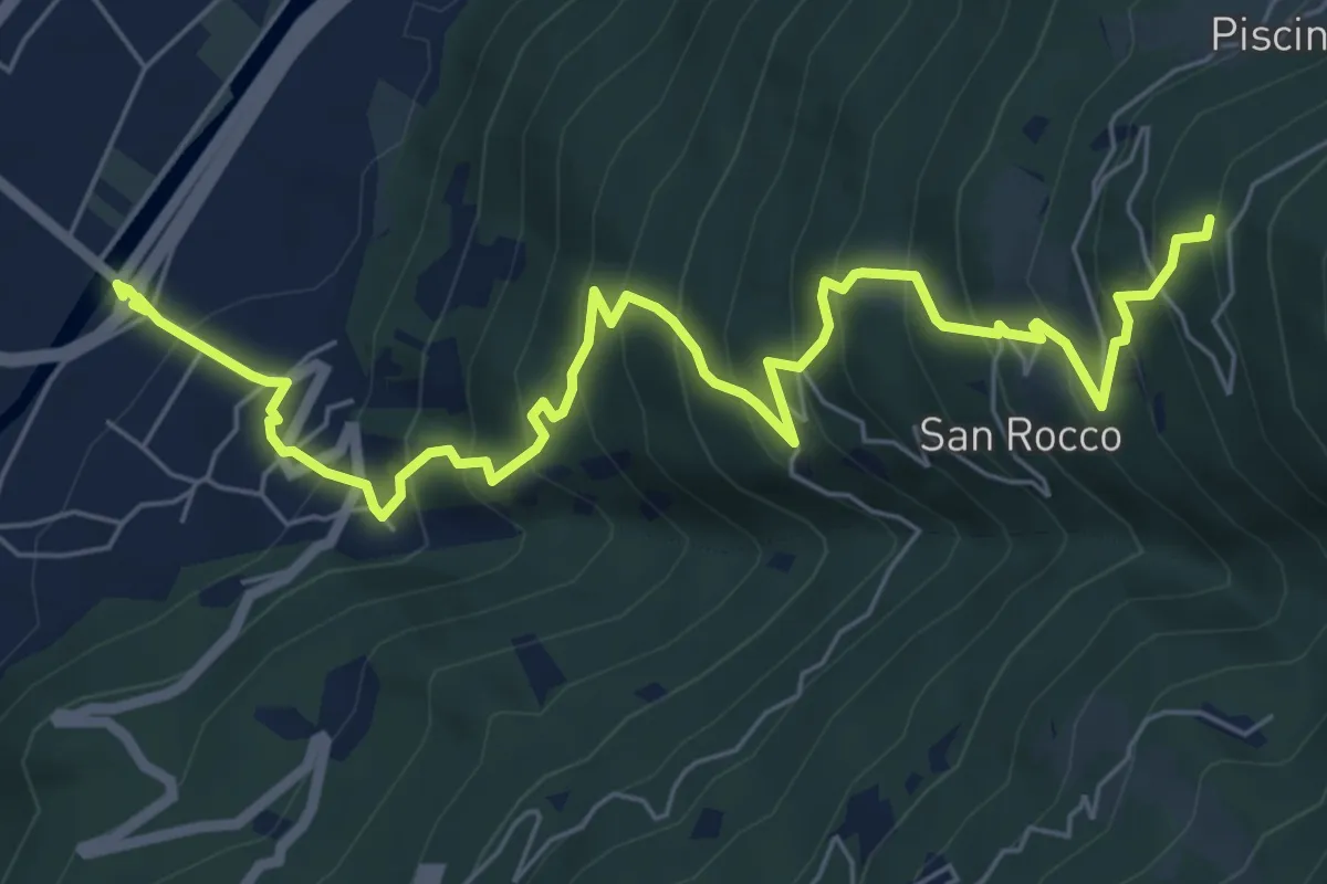
Demanding · Trail
Innesto Sentiero 303 – Innesto Sentiero 411
8.3 km · ↑ 811 m · 3 h 43 min · 4 km away
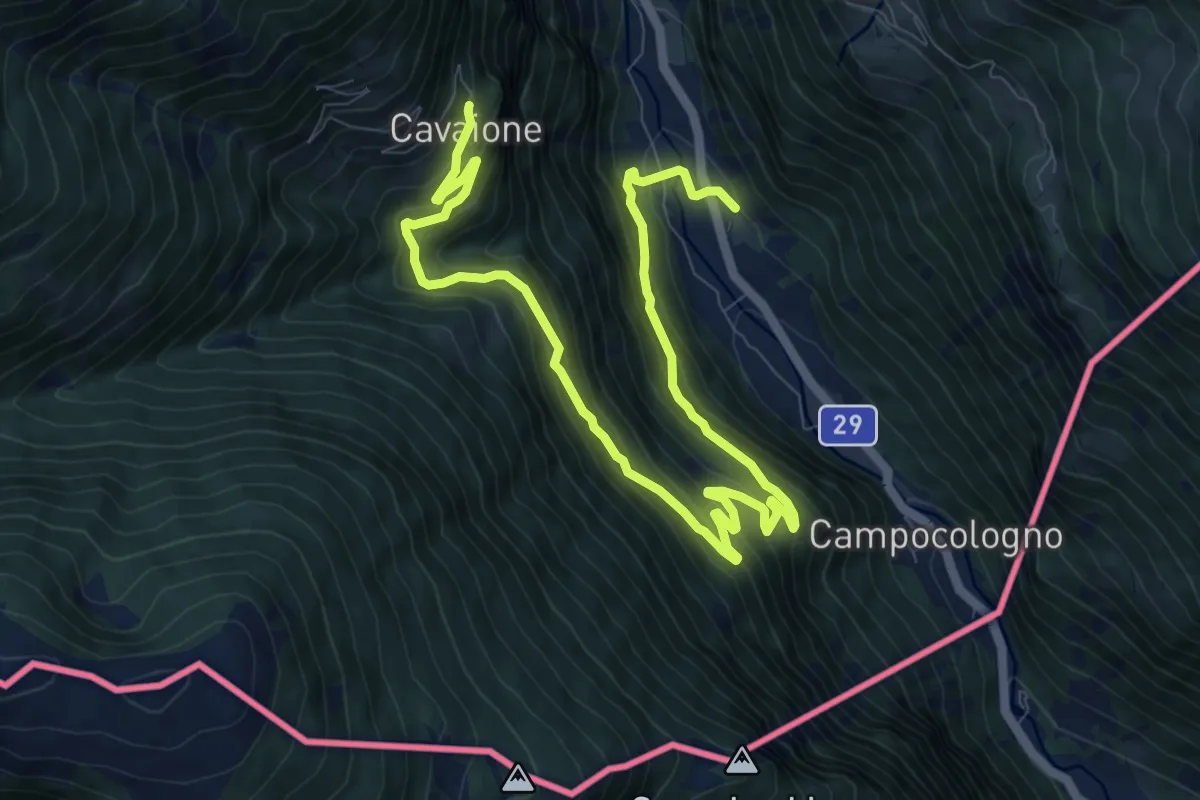
Demanding · Trail
Campascio - Scala - Cavaione
13.5 km · ↑ 1011 m · 5 h 22 min · 5 km away
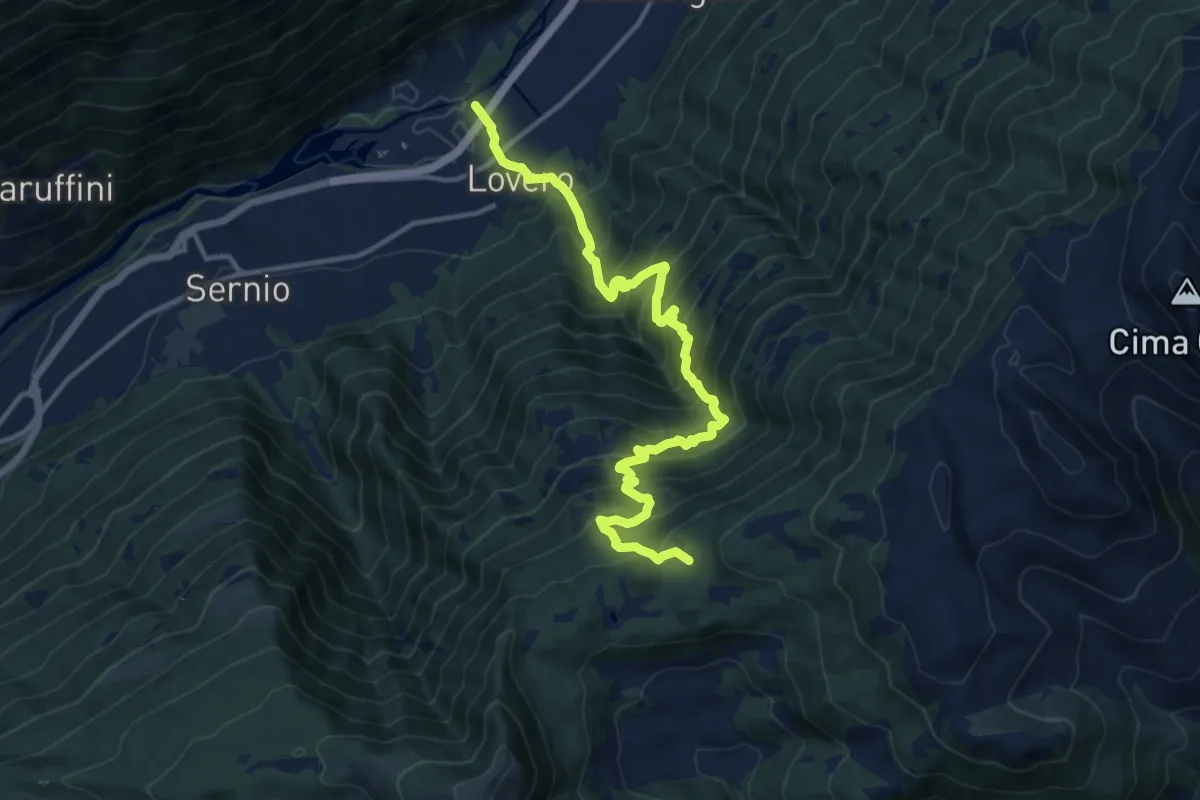
Demanding · Cabin
Innesto Sentiero 203 – Innesto Sentiero 430
14.4 km · ↑ 1484 m · 6 h 37 min · 5 km away
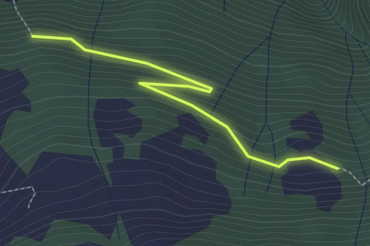
Easy · Trail
Innesto Sentiero 431 – Innesto Sentiero 435
2.4 km · ↑ 124 m · 50 min · 5 km away
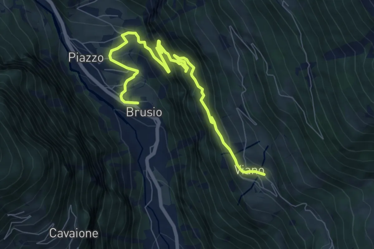
Medium · Trail
Brusio - Viano
8.9 km · ↑ 737 m · 3 h 42 min · 5 km away
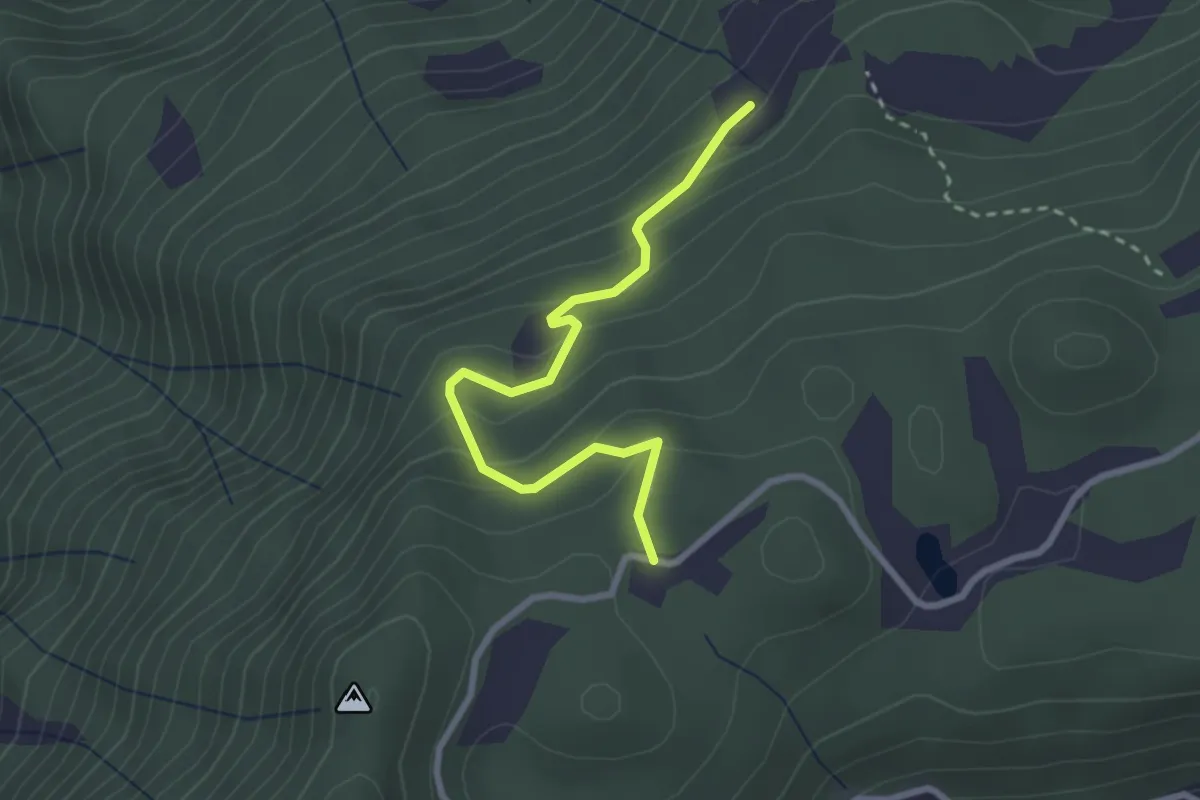
Easy · Trail
Innesto Sentiero 431 – Innesto Sentiero 430
2.7 km · ↑ 194 m · 1 h 4 min · 5 km away
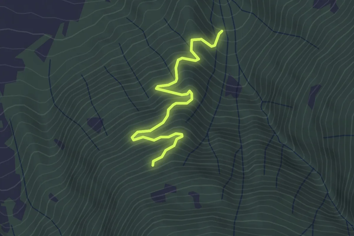
Medium · Trail
Innesto Sentiero 435 – Innesto Sentiero 431
3.9 km · ↑ 454 m · 1 h 54 min · 5 km away
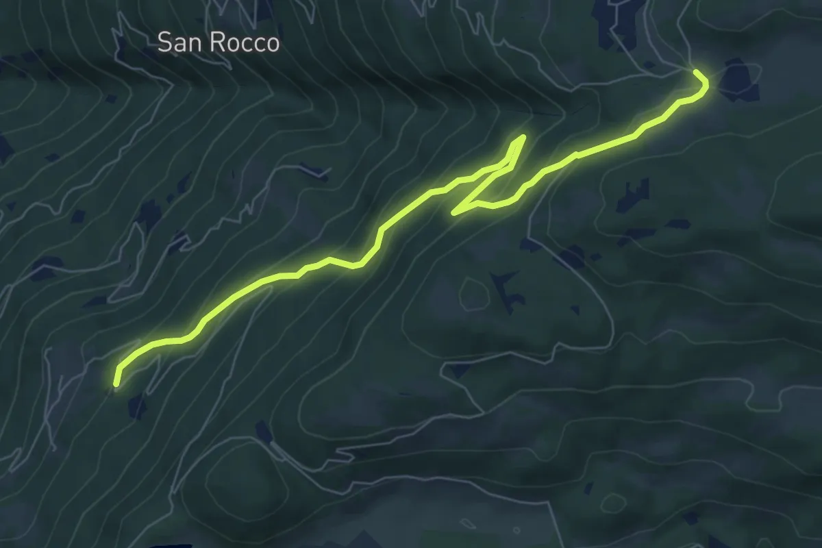
Medium · Trail
Innesto Sentiero 321 – Innesto Sentiero 411
8.2 km · ↑ 527 m · 3 h 5 min · 5 km away
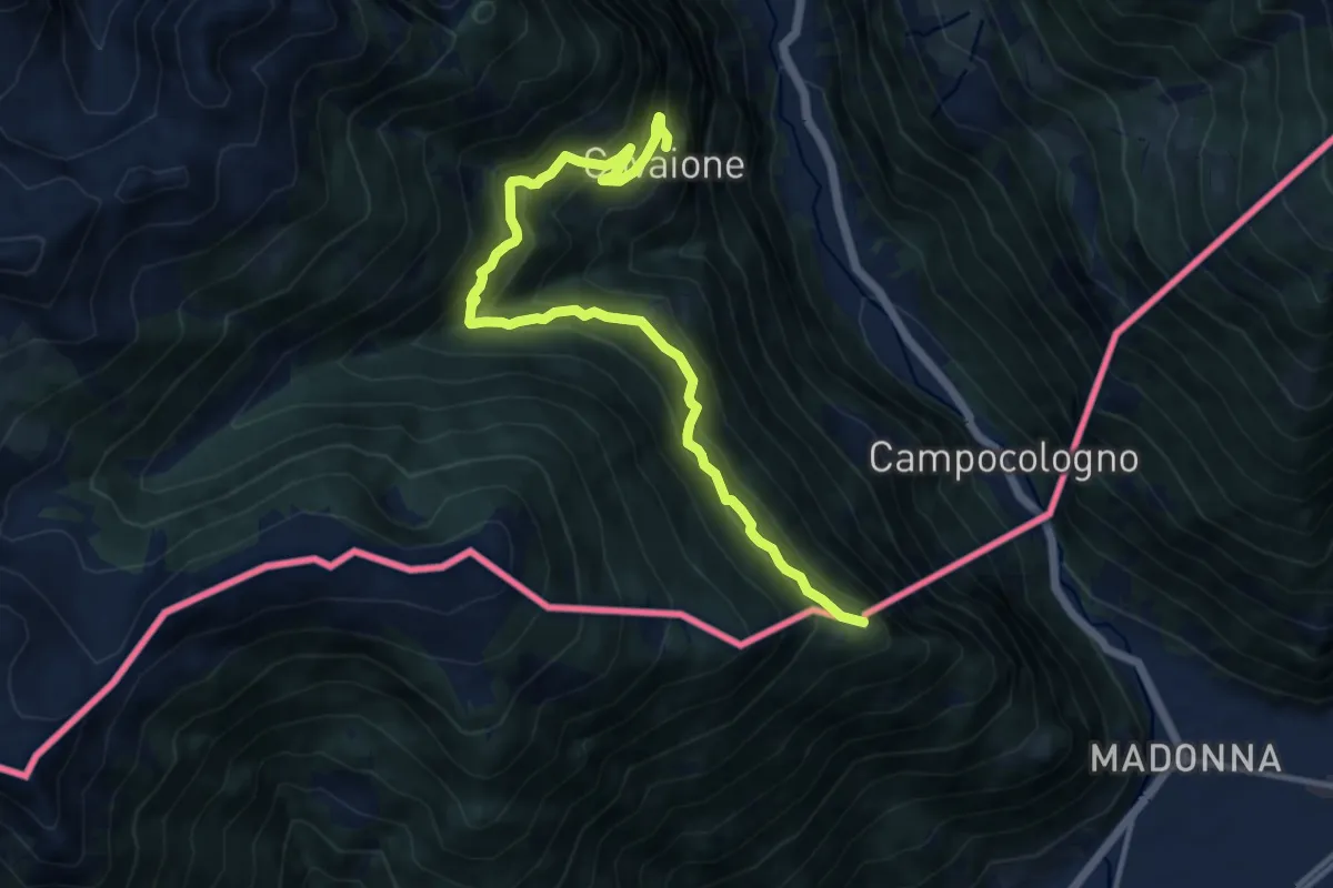
Demanding · Summit
Cavaione - Rossat - Piana - Lughina
12.2 km · ↑ 1068 m · 5 h 11 min · 6 km away
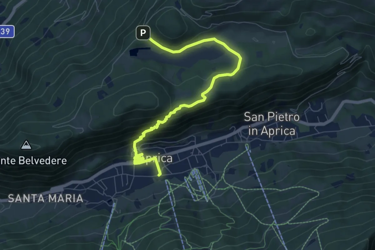
Medium · Trail
Incrocio Sentiero 342 - Sentiero 339 – Incrocio Sentiero 321 - Sentiero 352
8.6 km · ↑ 408 m · 2 h 54 min · 6 km away
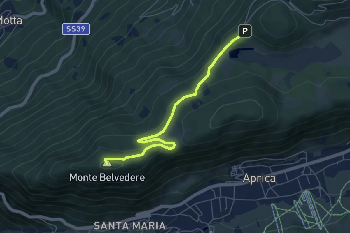
Demanding · Summit
Innesto Sentiero 342 – Incrocio Sentiero 321 - Sentiero 349
5.7 km · ↑ 178 m · 1 h 43 min · 6 km away
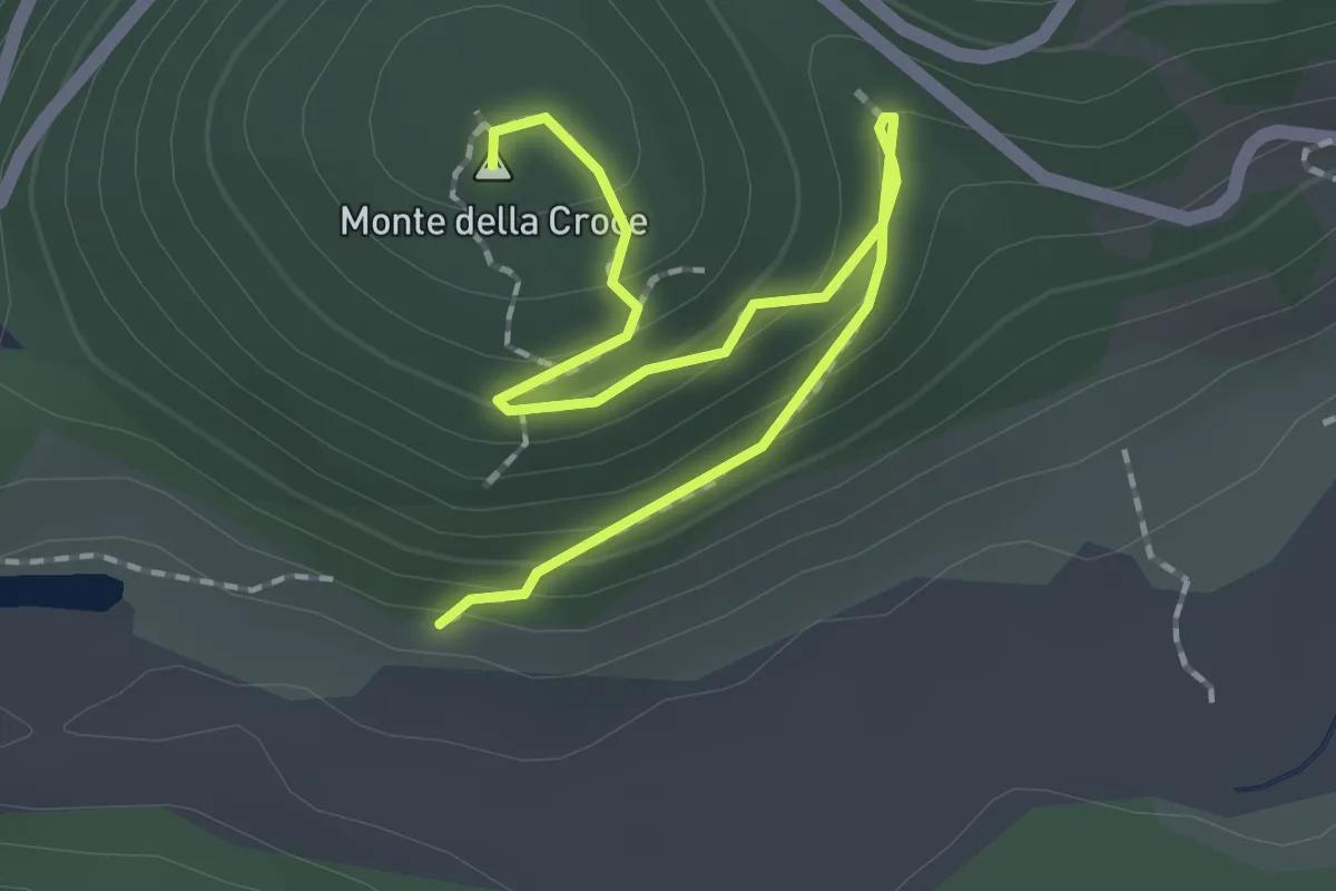
Easy · Summit
Innesto Sentiero 349 – Monte della Croce
2.3 km · ↑ 117 m · 48 min · 6 km away