Trails near Tirano
193 hikes starting within 15 km, nearest first.
Nearest first, page 2 of 5
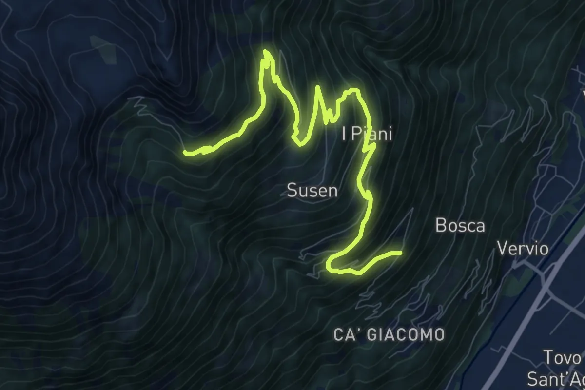
Demanding · Trail
Quattro Rui – Rifugio Schiazzera
11.6 km · ↑ 902 m · 4 h 42 min · 6 km away
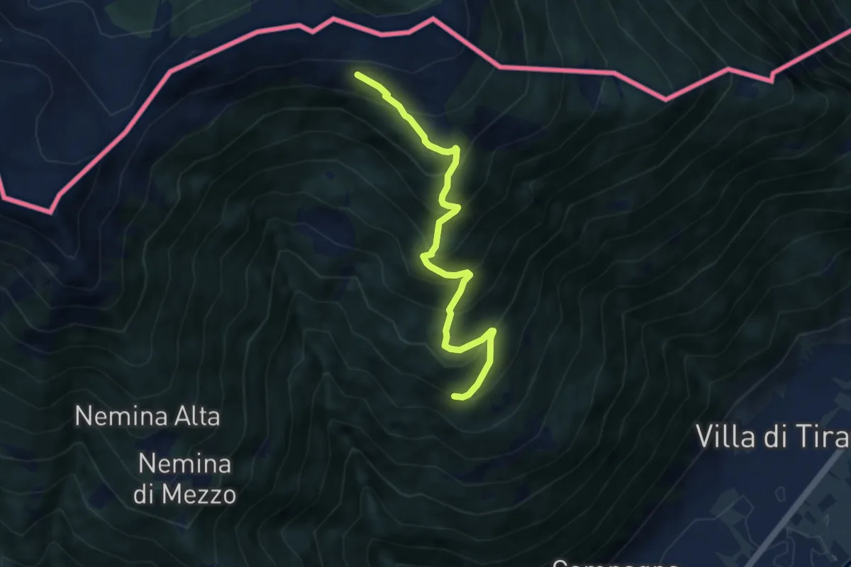
Medium · Trail
Innesto Sentiero 395 – Innesto Sentiero 301
7.2 km · ↑ 764 m · 3 h 22 min · 6 km away
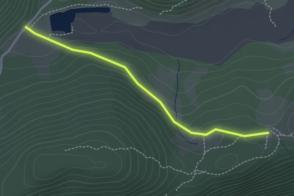
Easy · Trail
Innesto Sentiero 352 – Innesto Sentiero 349
2.3 km · ↑ 71 m · 42 min · 6 km away
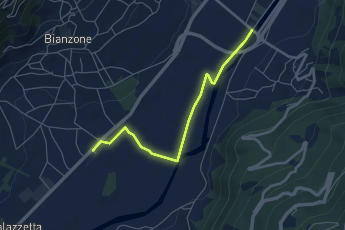
Easy · Trail
Stazione di Brianzone – Innseto Sentiero 303
4.7 km · ↑ 8 m · 1 h 7 min · 6 km away
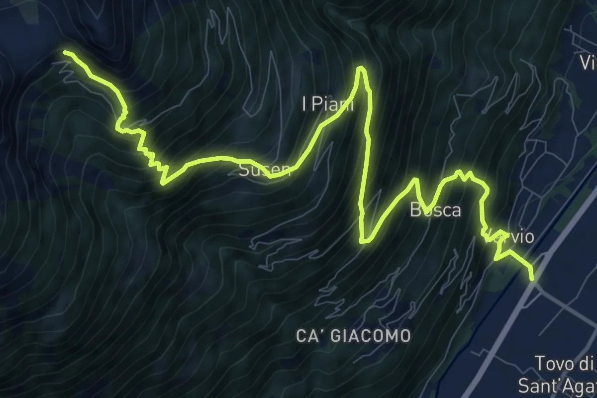
Demanding · Trail
Via delle Industrie (Tovo di Sant'Agata) – 201 - Rifugio Schiazzera
13.5 km · ↑ 1545 m · 6 h 32 min · 7 km away
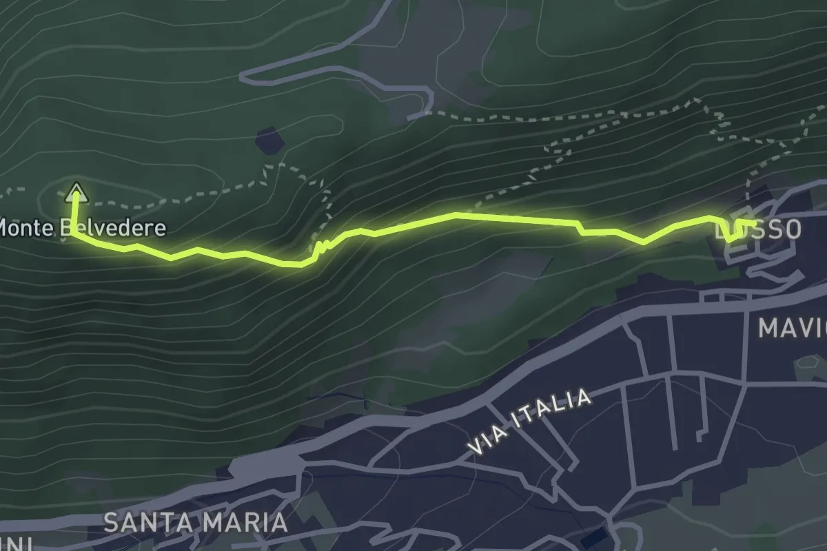
Easy · Summit
Innesto Sentiero 349 – Innesto Sentiero 352
3.0 km · ↑ 283 m · 1 h 20 min · 7 km away
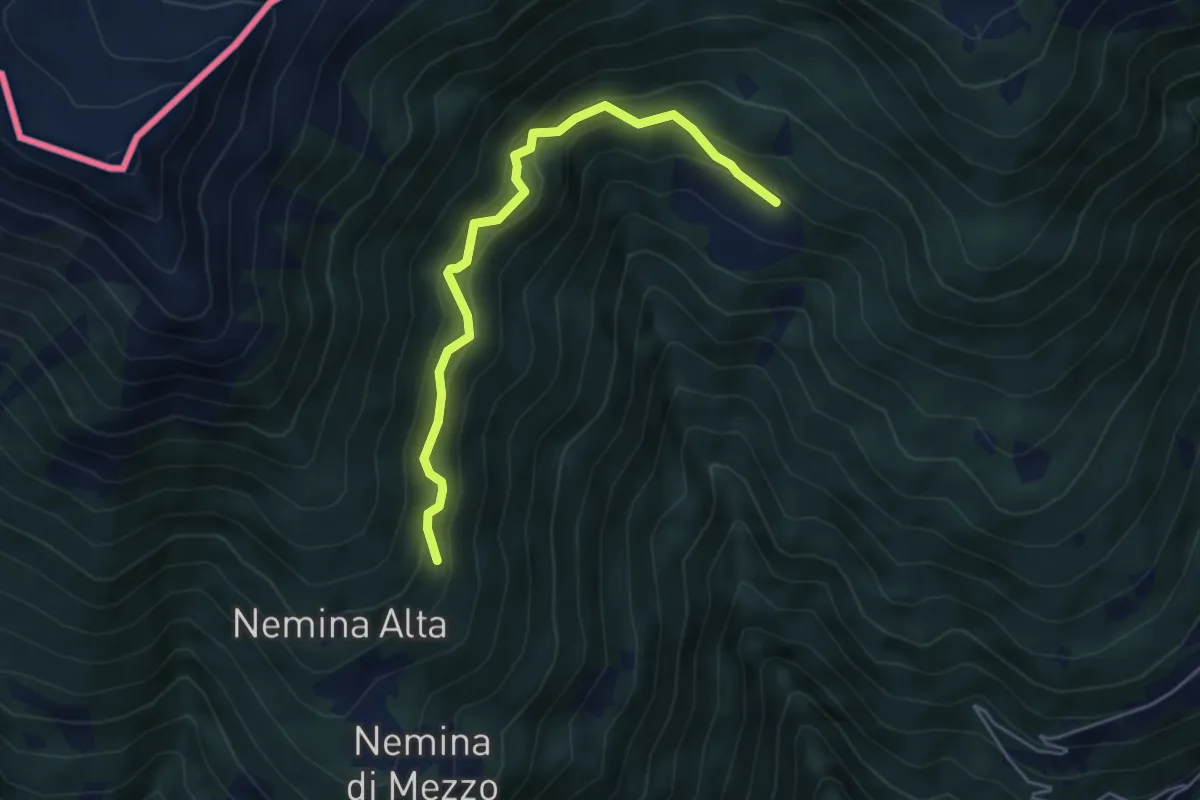
Medium · Trail
Innesto Sentiero 397 – Innesto Sentiero 395
4.8 km · ↑ 431 m · 2 h 4 min · 7 km away
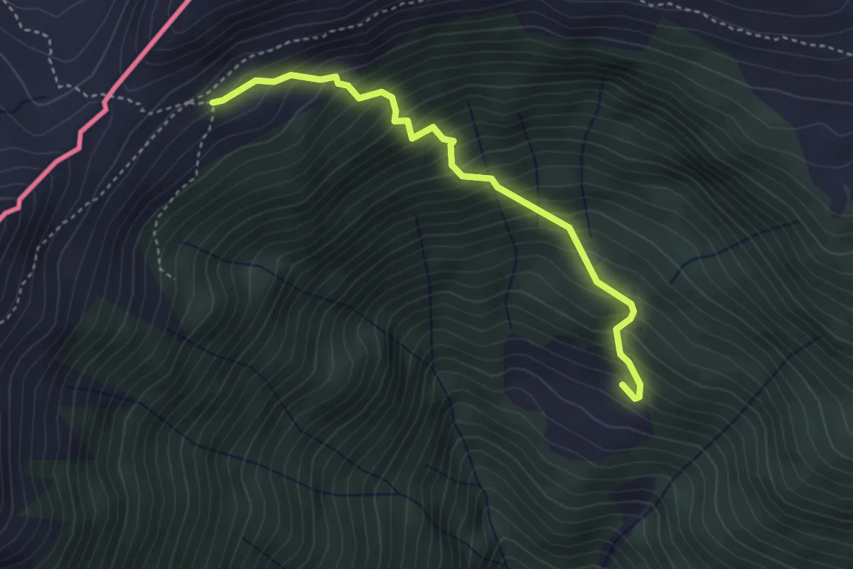
Medium · Trail
Innesto Sentiero 397 – Innesto Sentiero 301
3.7 km · ↑ 541 m · 2 h 3 min · 7 km away
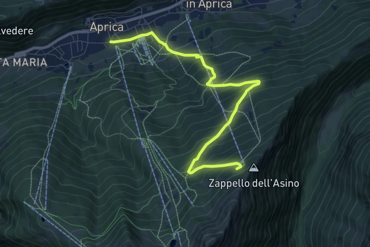
Medium · Trail
Innesto Sentiero 349 – Innesto Percorso 341
10.0 km · ↑ 799 m · 4 h 5 min · 7 km away
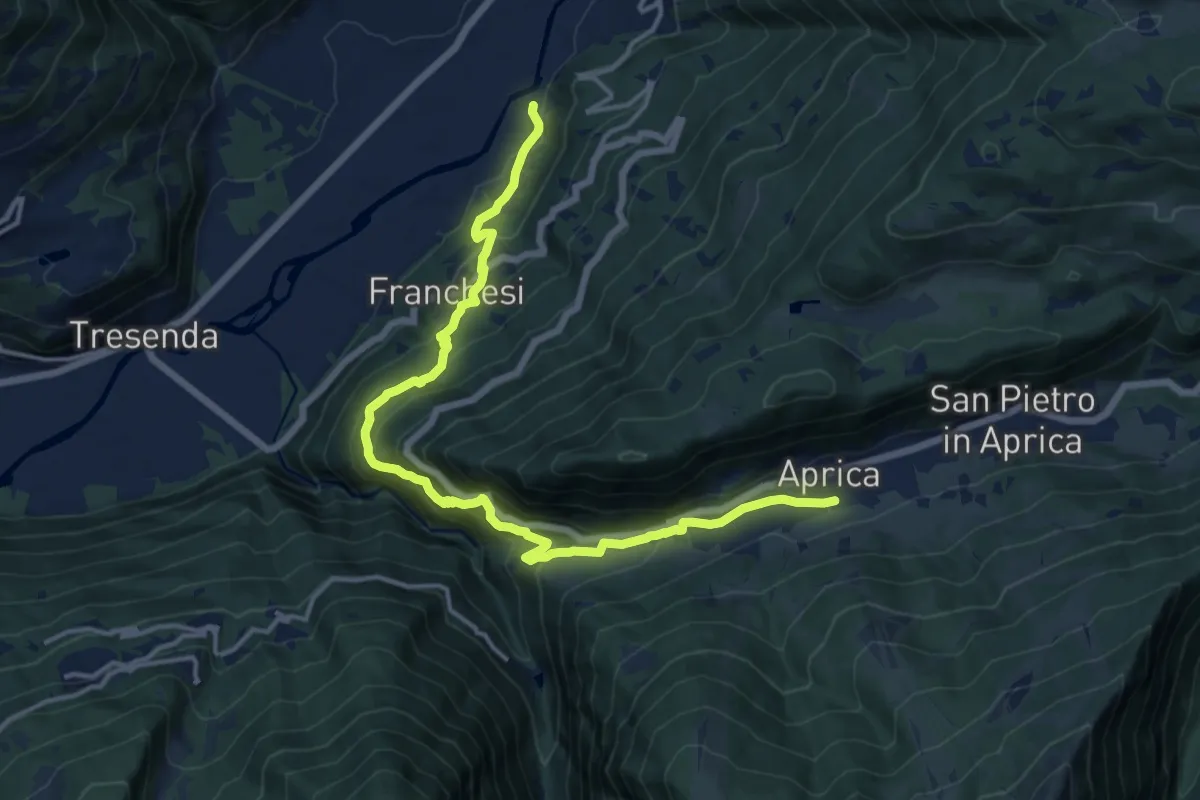
Demanding · Trail
Innesto Sentiero 303 – Incrocio Sentiero 339 - Sentiero 349
16.1 km · ↑ 1114 m · 6 h 13 min · 7 km away
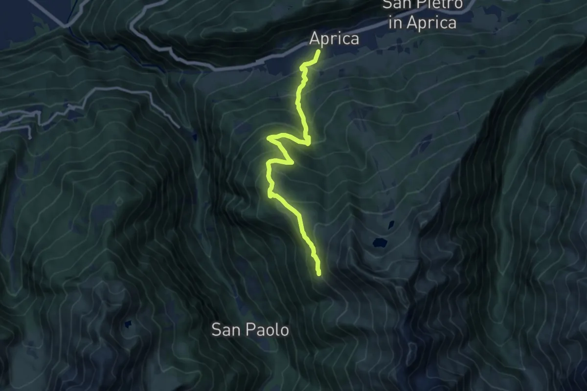
Demanding · Trail
Innesto Sentiero 342 – Innesto Sentiero 301
11.0 km · ↑ 863 m · 4 h 29 min · 7 km away
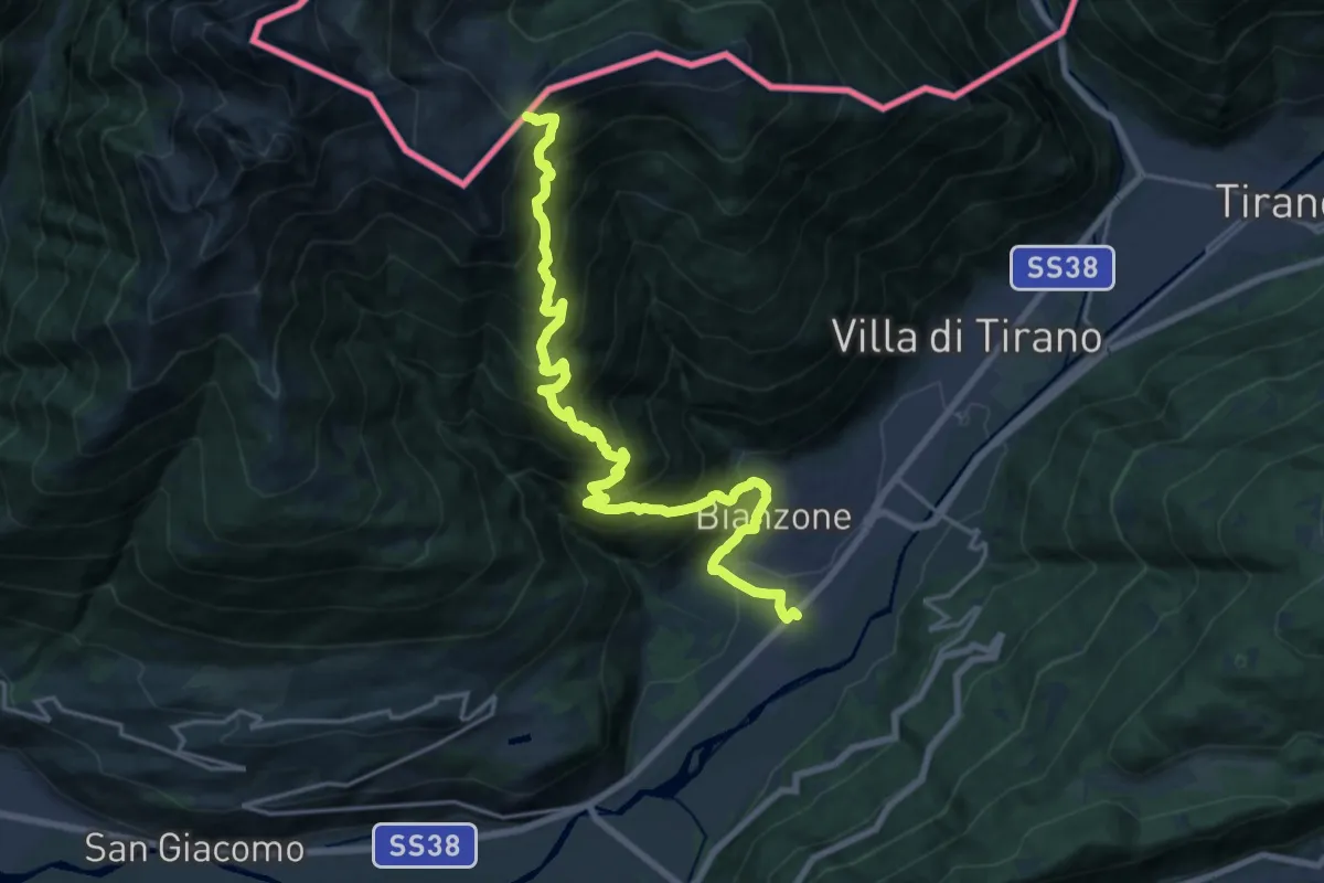
Medium · Trail
Stazione di Bianzone – Col d'Anzana
10.5 km · ↑ 27 m · 3 h 36 min · 7 km away
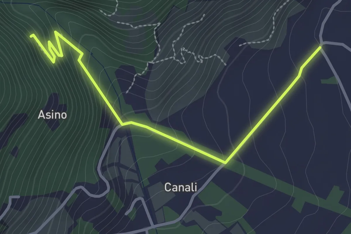
Easy · Trail
Innesto Sentiero 397 – Innesto Sentiero 306
3.2 km · ↑ 213 m · 1 h 13 min · 7 km away
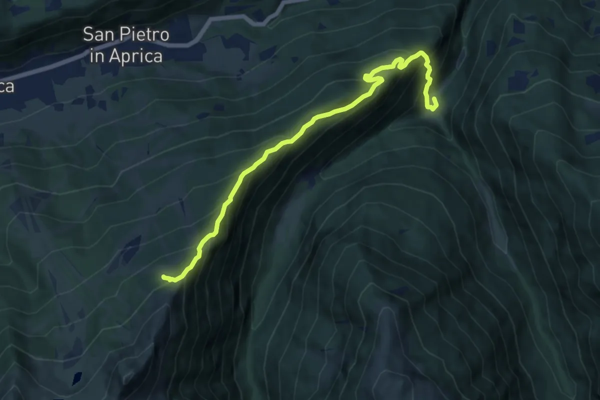
Demanding · Trail
Sentieri Frassati
9.9 km · ↑ 961 m · 4 h 25 min · 8 km away
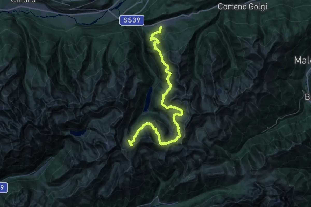
Demanding · Cabin
Gran Via delle Orobie - Tappa 11
24.3 km · ↑ 2181 m · 10 h 15 min · 8 km away
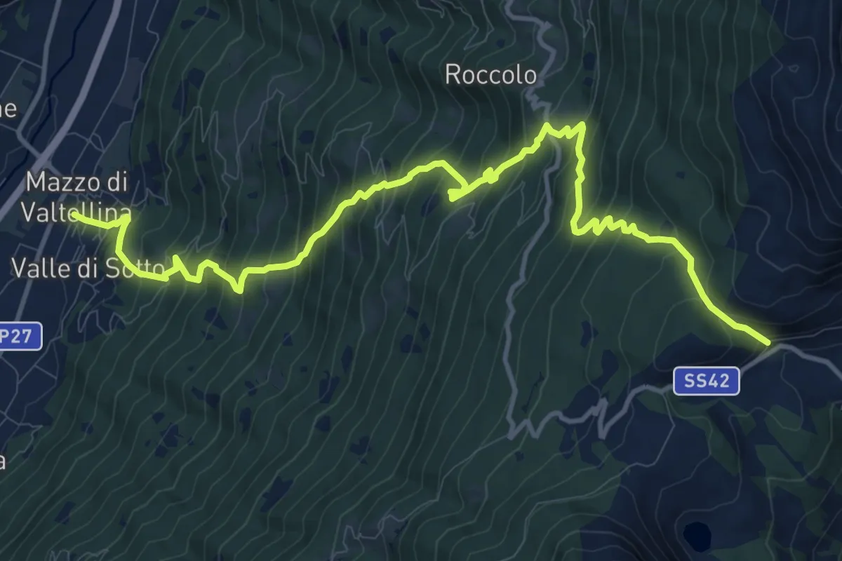
Demanding · Trail
Innesto Sentiero 235 – Innesto Sentiero 430
14.3 km · ↑ 1436 m · 6 h 29 min · 8 km away
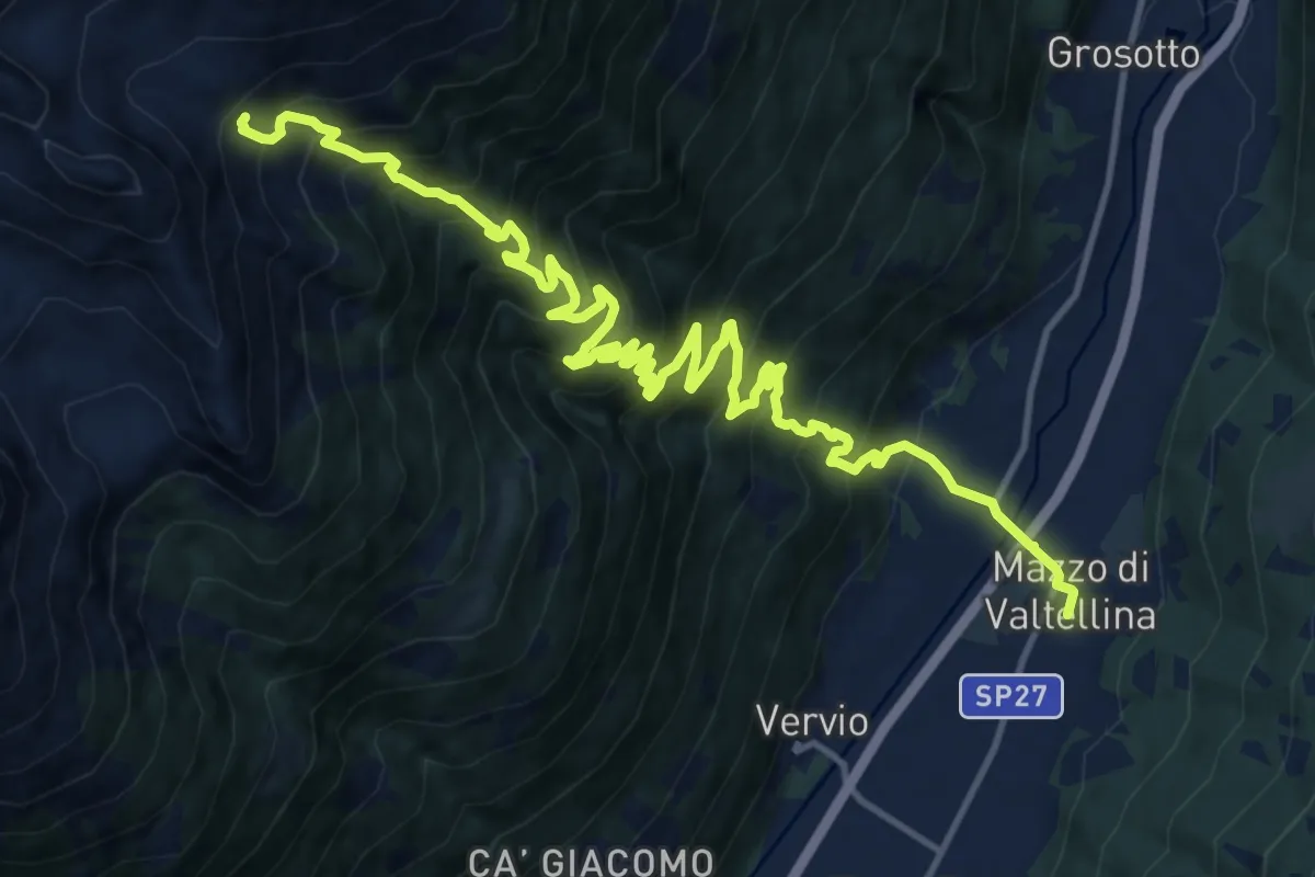
Demanding · Cabin
Via Papa Giovanni XXIII (Mazzo di Valtellina) – 201 - Alpe Salina
9.1 km · ↑ 1681 m · 5 h 6 min · 8 km away
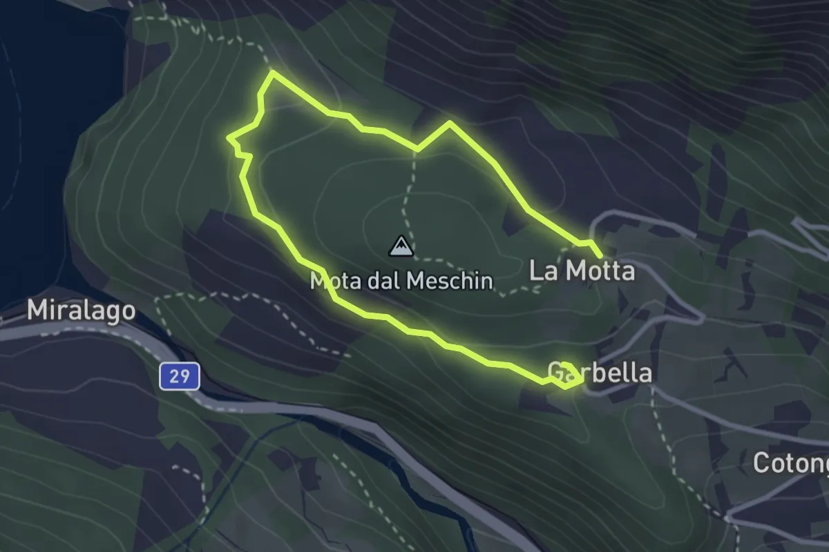
Medium · Summit
Paneneve
2.1 km · ↑ 66 m · 40 min · 8 km away
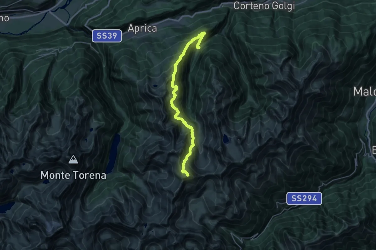
Expert · Summit
Sentiero 4 Luglio
23.2 km · ↑ 2295 m · 10 h 27 min · 8 km away
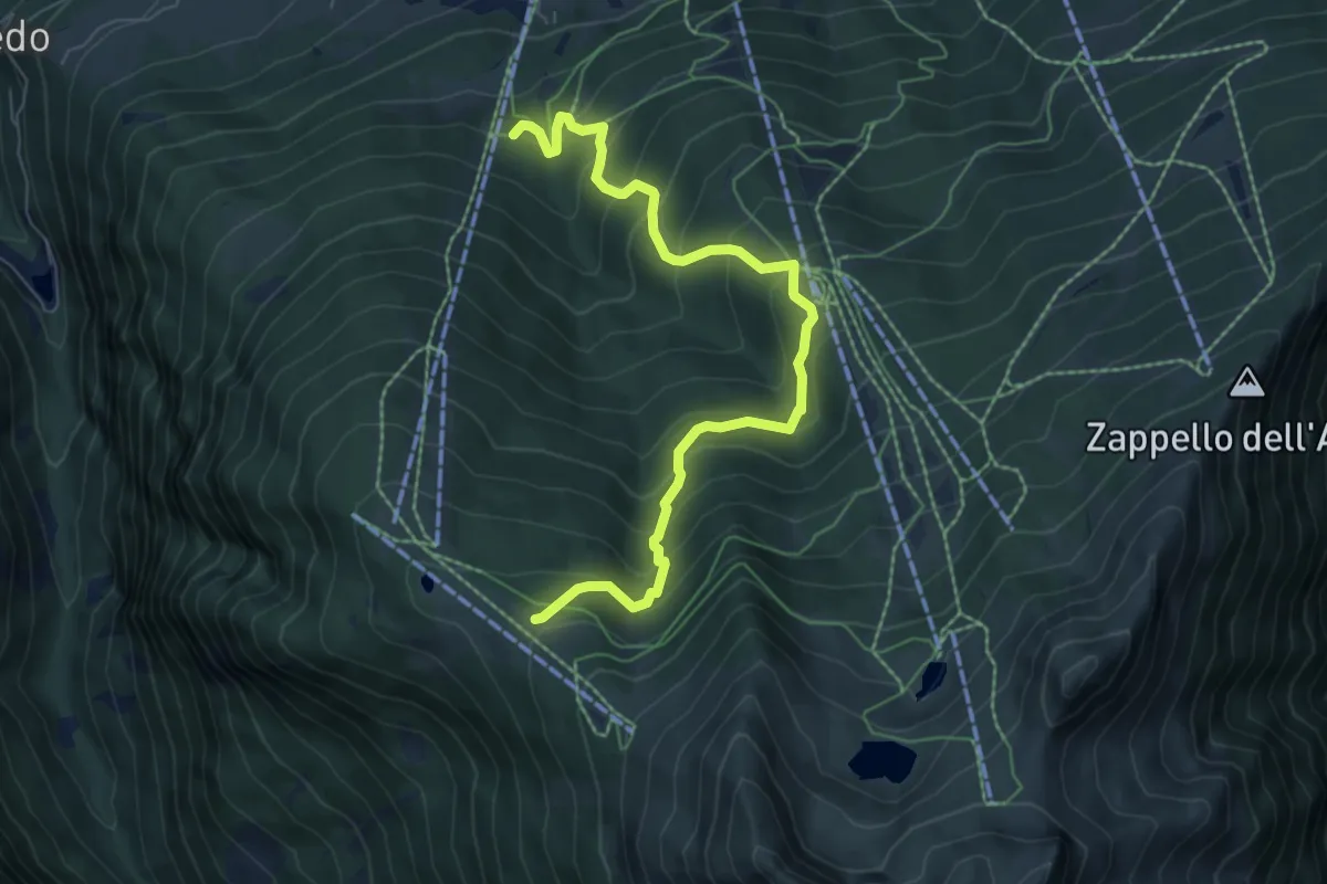
Medium · Cabin
Innesto Sentiero 301 – Innesto Sentiero 341
7.5 km · ↑ 686 m · 3 h 15 min · 8 km away
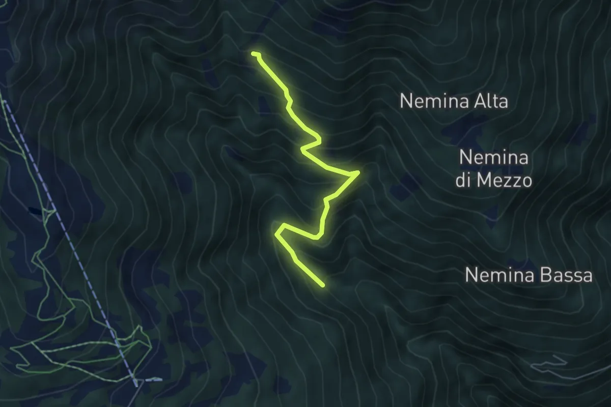
Medium · Trail
Innesto Sentiero 393 – Innesto Sentiero 302
4.9 km · ↑ 519 m · 2 h 16 min · 8 km away
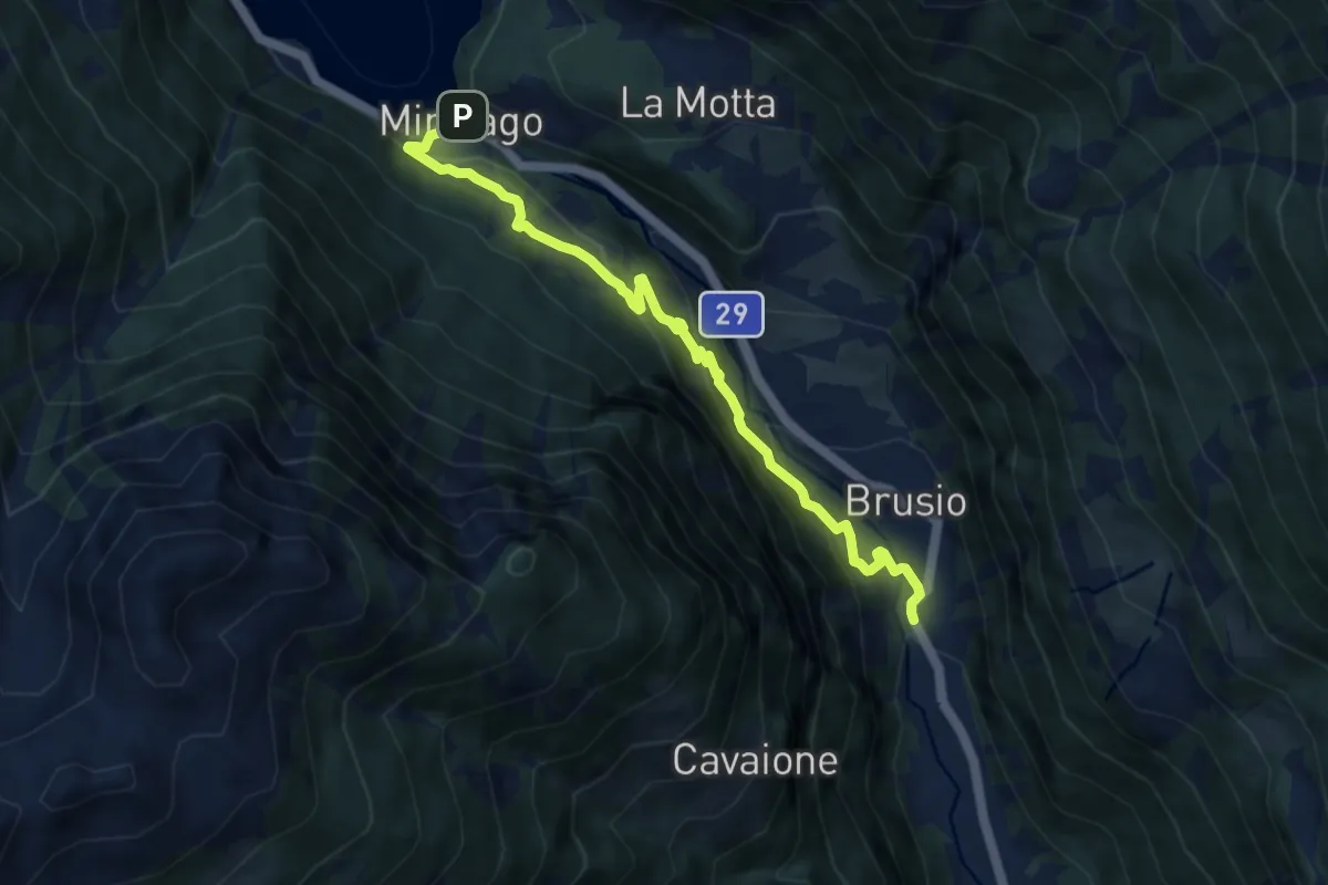
Medium · Trail
Miralago - Mot - Brusio
8.5 km · ↑ 532 m · 3 h 10 min · 8 km away
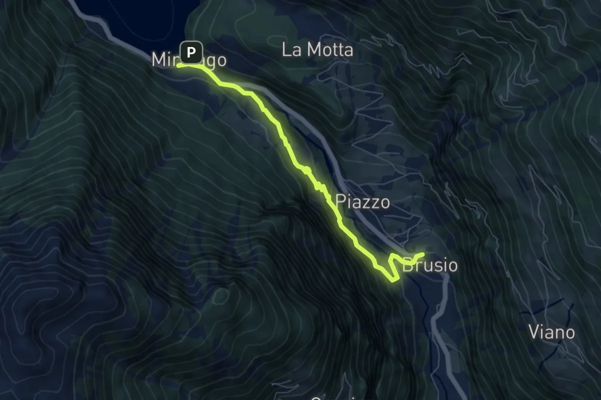
Medium · Trail
Miralago - Golbia - Brusio
7.0 km · ↑ 363 m · 2 h 27 min · 8 km away
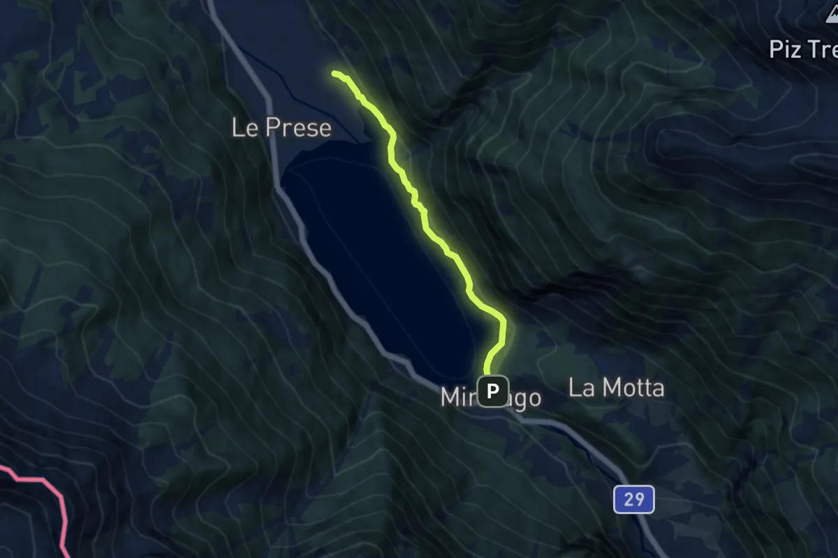
Easy · Trail
Miralego - Canton
6.6 km · ↑ 188 m · 1 h 57 min · 8 km away
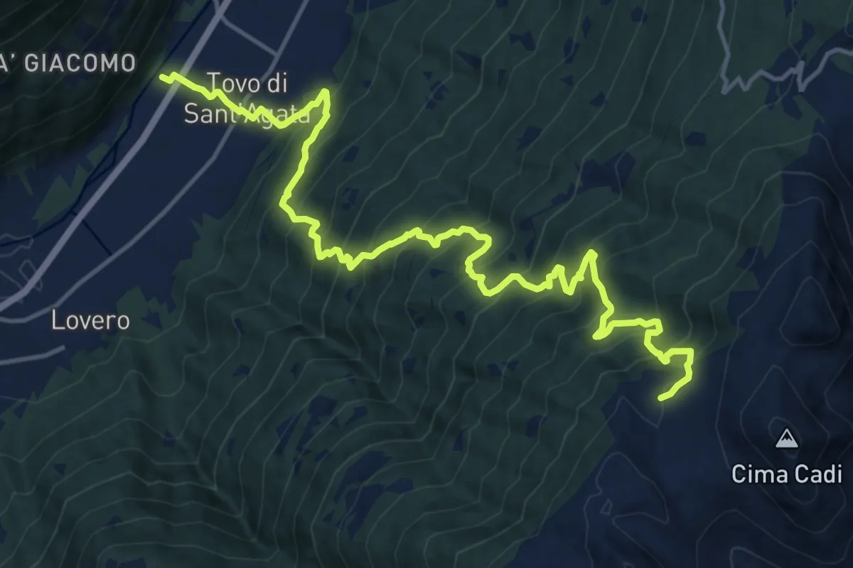
Demanding · Trail
Innesto Sentiero 203 – Innesto Percorso 430
17.3 km · ↑ 1702 m · 7 h 47 min · 9 km away
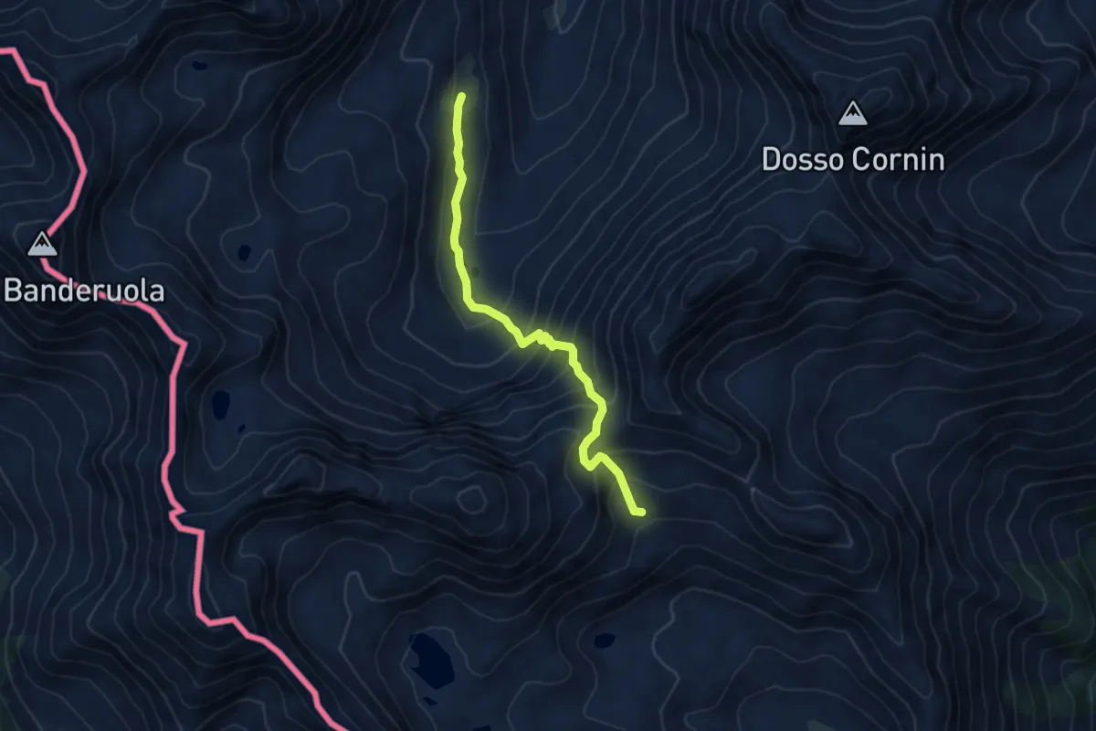
Medium · Trail
201 – 249
5.2 km · ↑ 495 m · 2 h 19 min · 9 km away
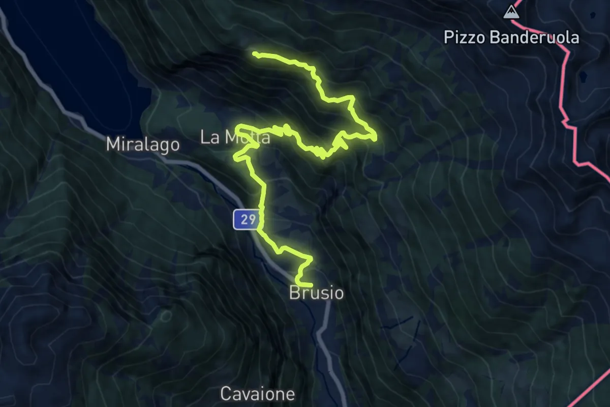
Demanding · Trail
Brusio - Piaz - San Romerio
15.7 km · ↑ 1339 m · 6 h 36 min · 9 km away
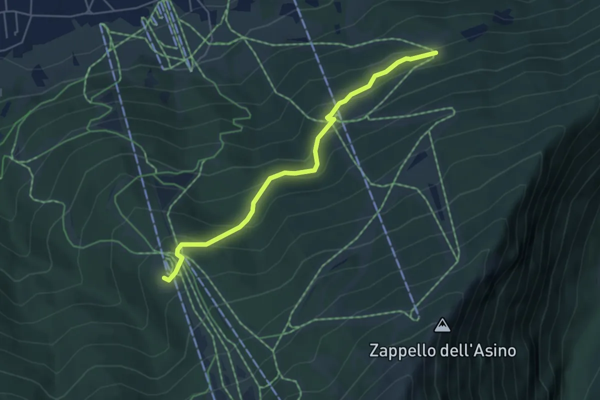
Easy · Trail
Innesto Sentiero 338 – Innesto Sentiero 328
4.4 km · ↑ 283 m · 1 h 40 min · 9 km away
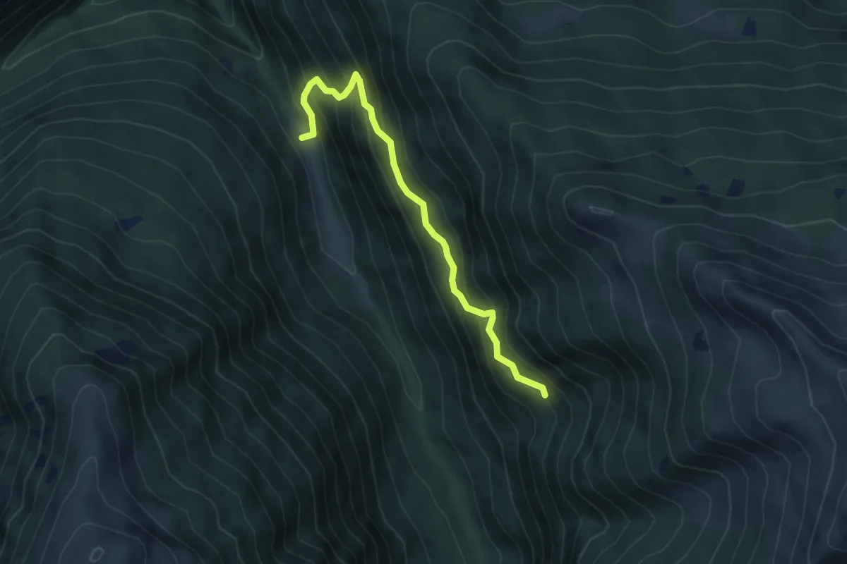
Demanding · Trail
Francesconi – Val Garzoneta
5.0 km · ↑ 590 m · 2 h 27 min · 9 km away
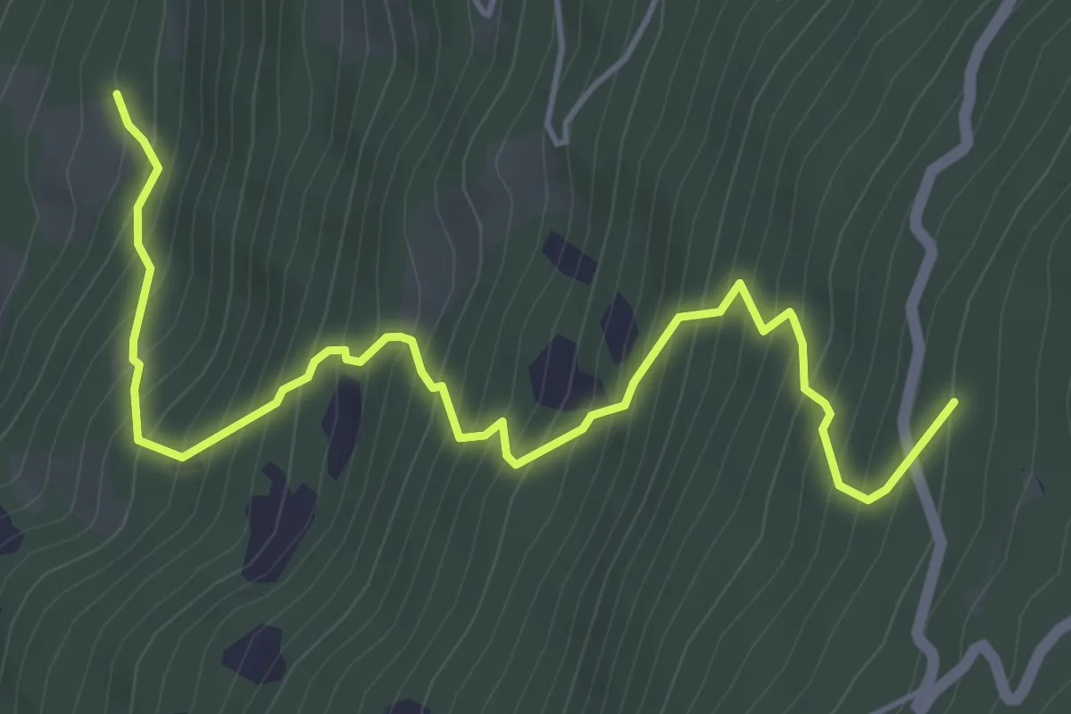
Medium · Trail
Innesto Sentiero 445 – Innesto Sentiero 444
5.6 km · ↑ 718 m · 2 h 52 min · 9 km away
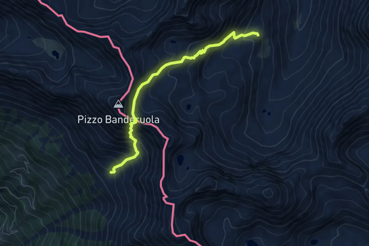
Expert · Trail
258 – Passo Banderuola
6.9 km · ↑ 817 m · 3 h 24 min · 9 km away
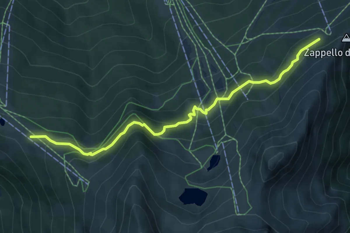
Medium · Cabin
Innesto Sentiero 301 – Innesto Sentiero 339
6.1 km · ↑ 344 m · 2 h 11 min · 9 km away
Easy · Trail
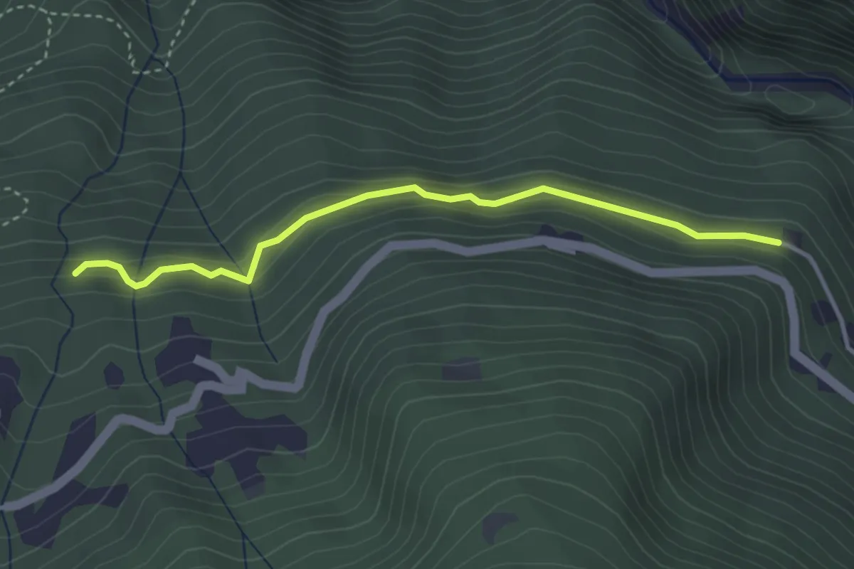
Innesto Sentiero 322 – Innesto Sentiero 323
3.4 km · ↑ 180 m · 1 h 12 min · 9 km away
Medium · Trail
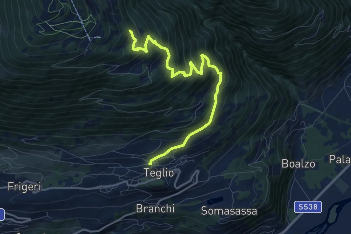
Via Milano (Teglio) – Innesto Percorso 301
9.8 km · ↑ 685 m · 3 h 48 min · 9 km away
Medium · Trail
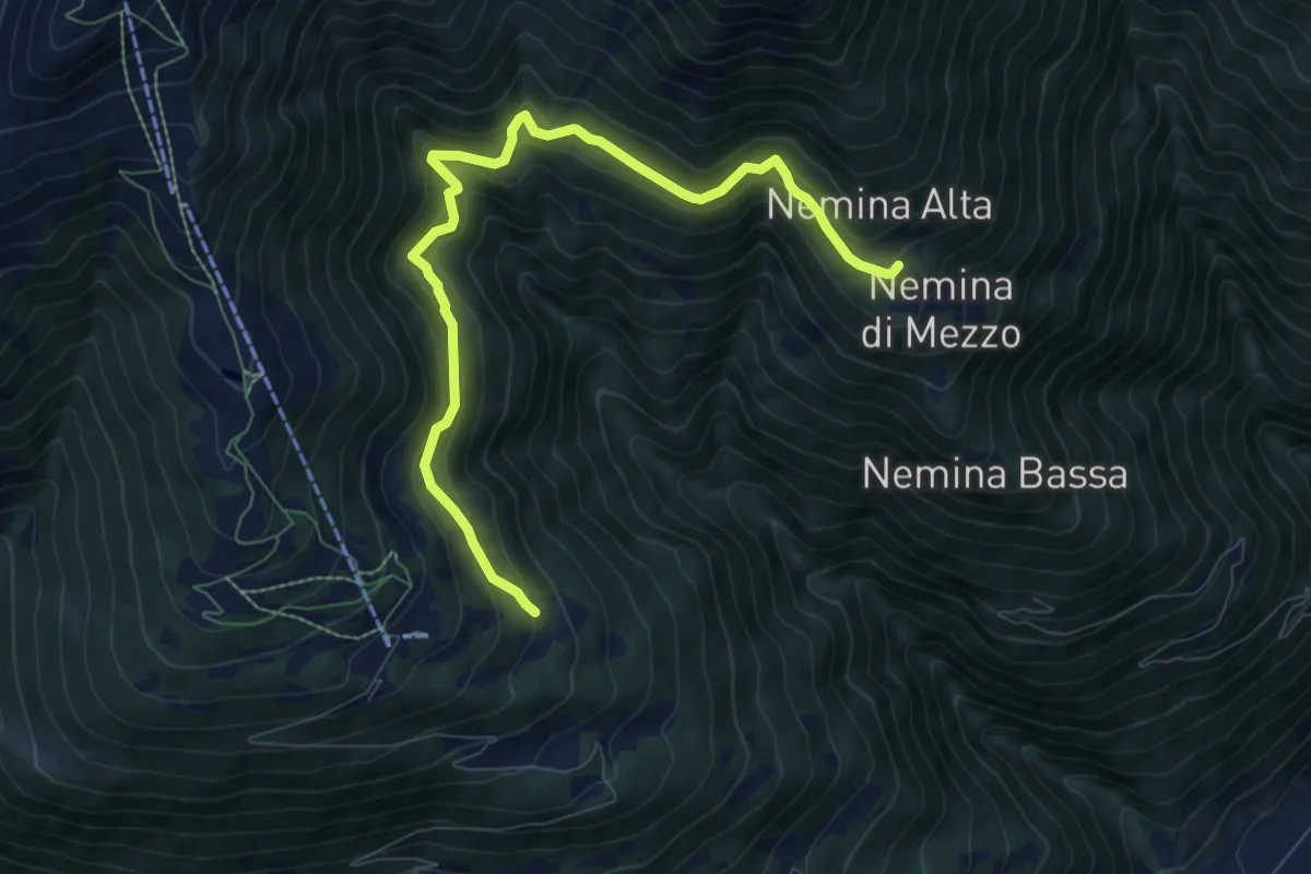
Innesto Sentiero 392 – Innesto Sentiero 393
9.2 km · ↑ 610 m · 3 h 29 min · 9 km away
Medium · Trail
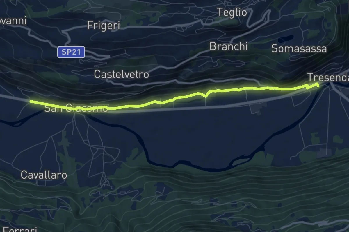
Stazione Treni (Tresenda) – Via Nazionale (San Giacomo)
9.2 km · ↑ 282 m · 2 h 46 min · 9 km away
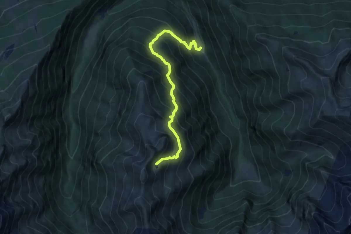
Demanding · Trail
Brandet – Lago dell'Agna
9.1 km · ↑ 1091 m · 4 h 31 min · 9 km away
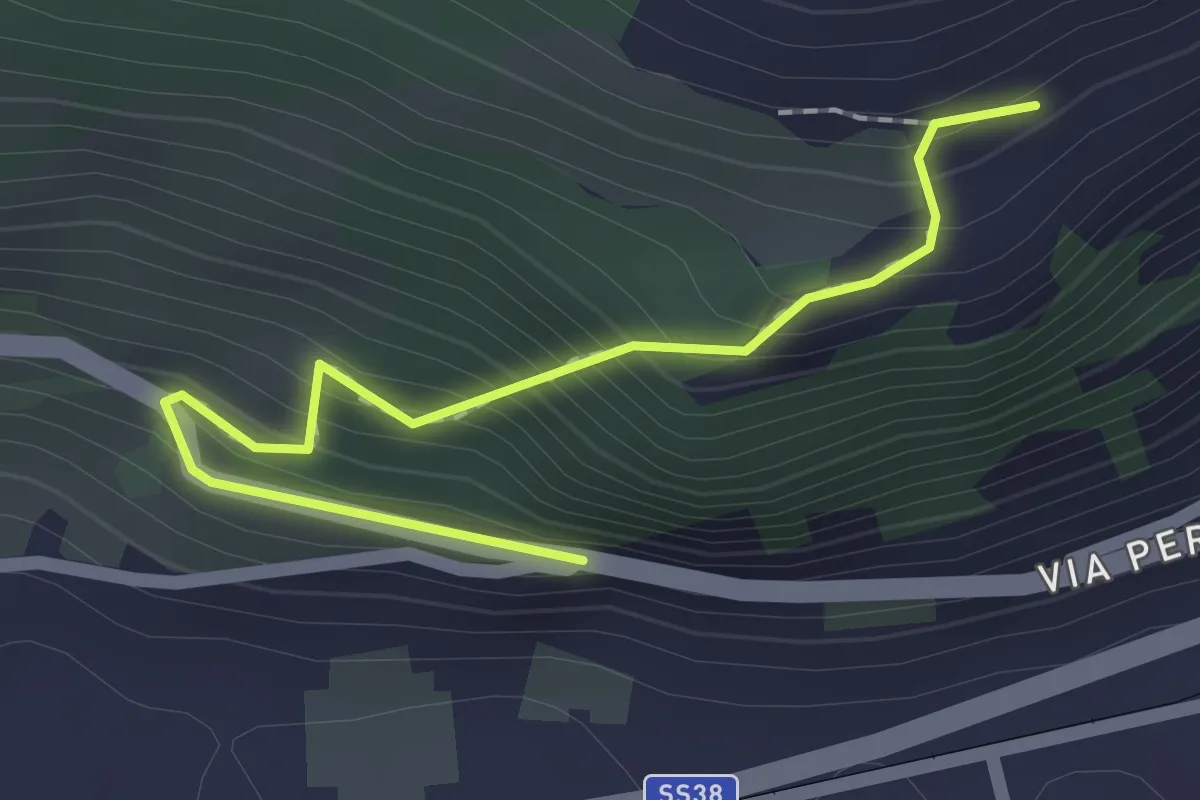
Easy · Trail
Innesto Sentiero 388 – Innesto Sentiero 308
2.0 km · ↑ 199 m · 54 min · 9 km away
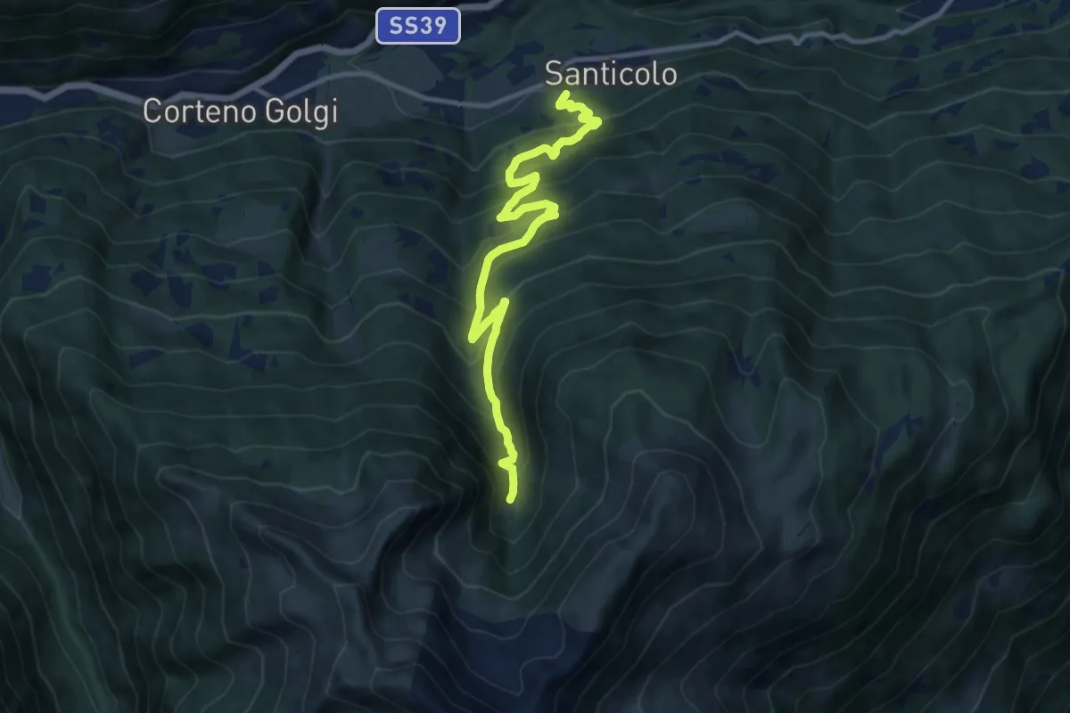
Demanding · Trail
Santicolo – Malga Dosso
11.5 km · ↑ 891 m · 4 h 38 min · 9 km away
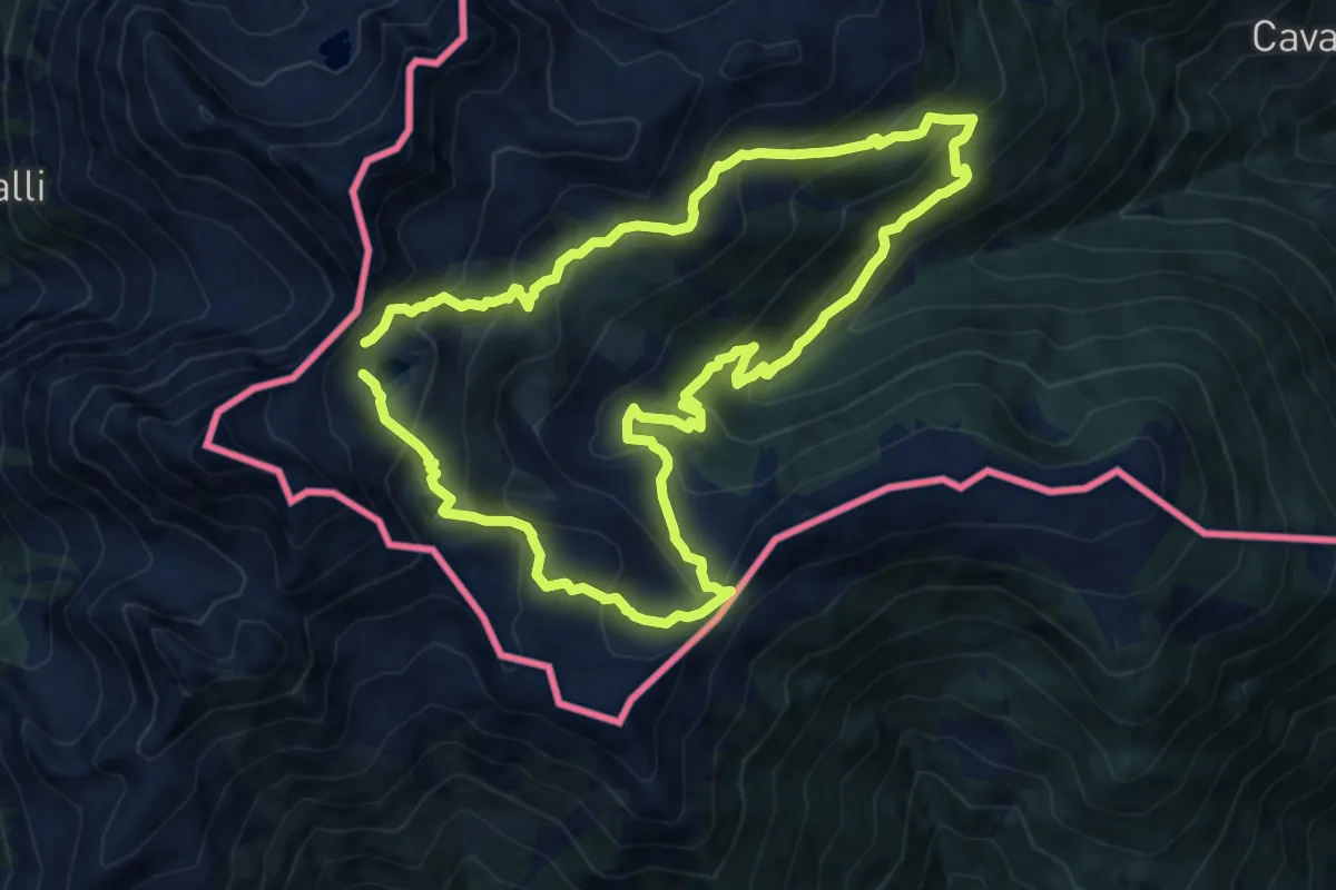
Medium · Trail
Sentiero Lagh dal Mat
11.5 km · ↑ 799 m · 4 h 35 min · 9 km away
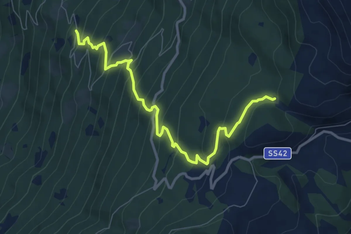
Medium · Trail
Innesto Sentiero 445 – Innesto Sentiero 445
7.9 km · ↑ 696 m · 3 h 23 min · 9 km away
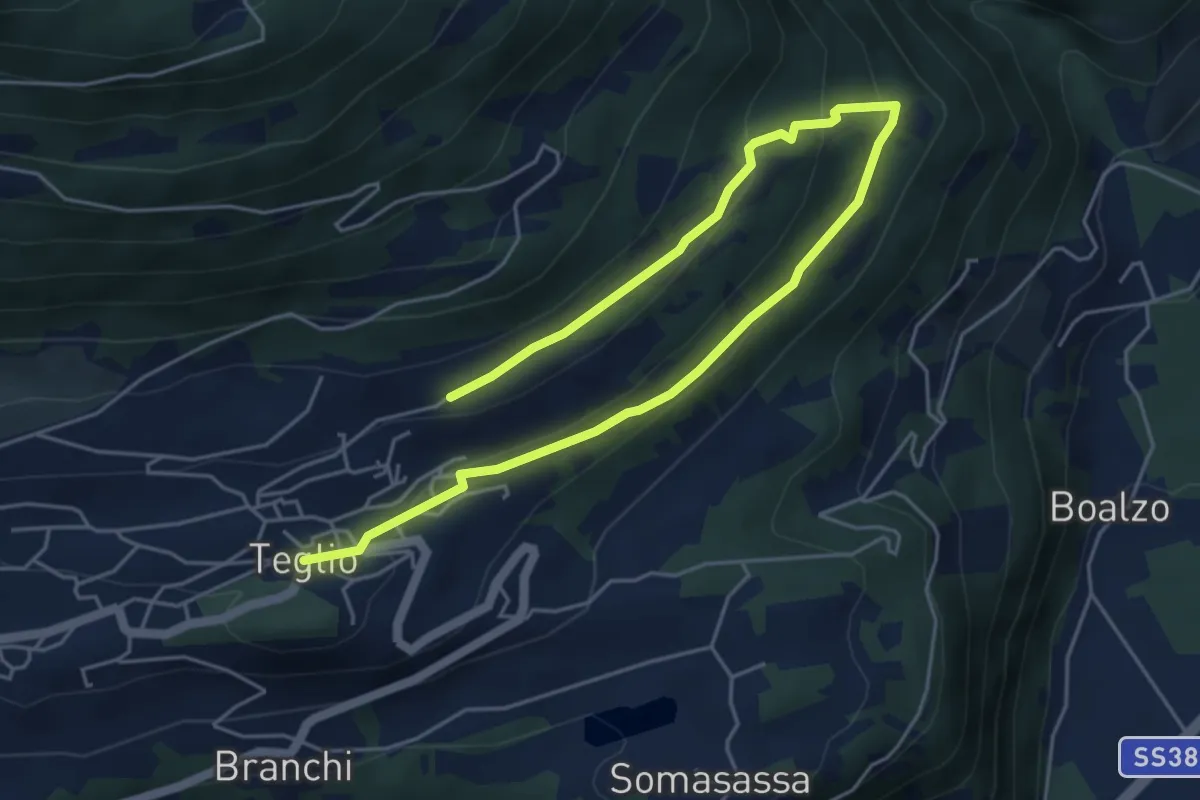
Easy · Trail
Innesto Sentiero 392 – Innesto Sentiero 388
6.9 km · ↑ 197 m · 2 h 3 min · 9 km away
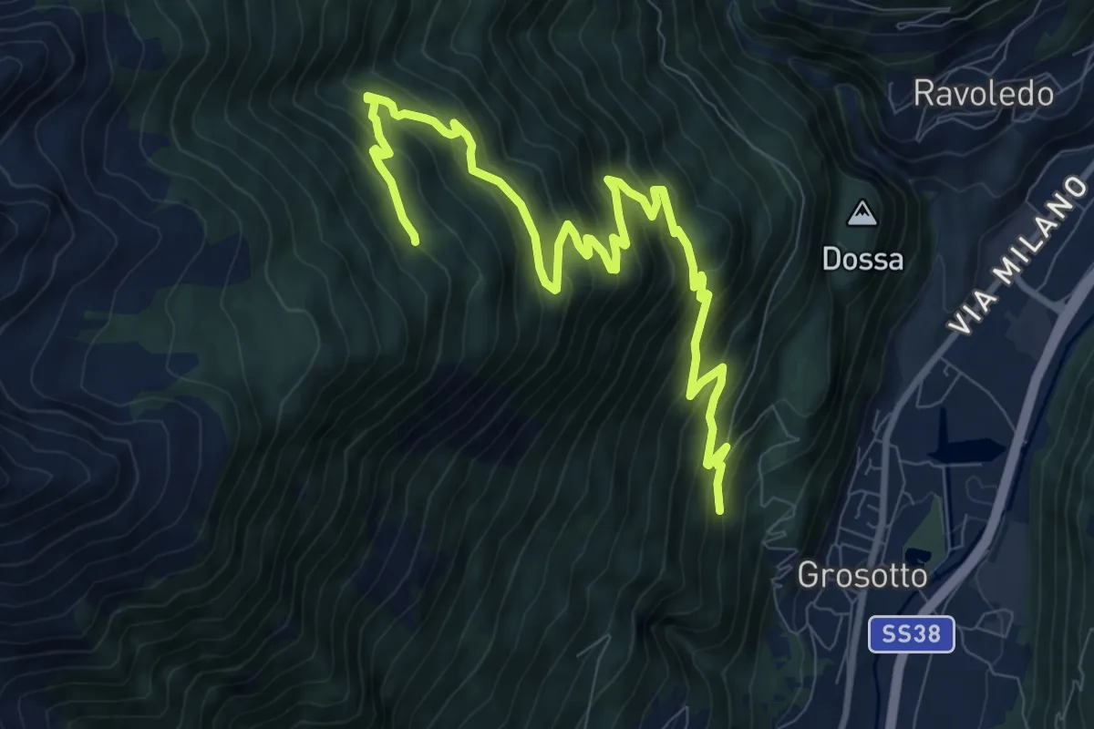
Demanding · Trail
202 – 236
11.6 km · ↑ 940 m · 4 h 46 min · 10 km away
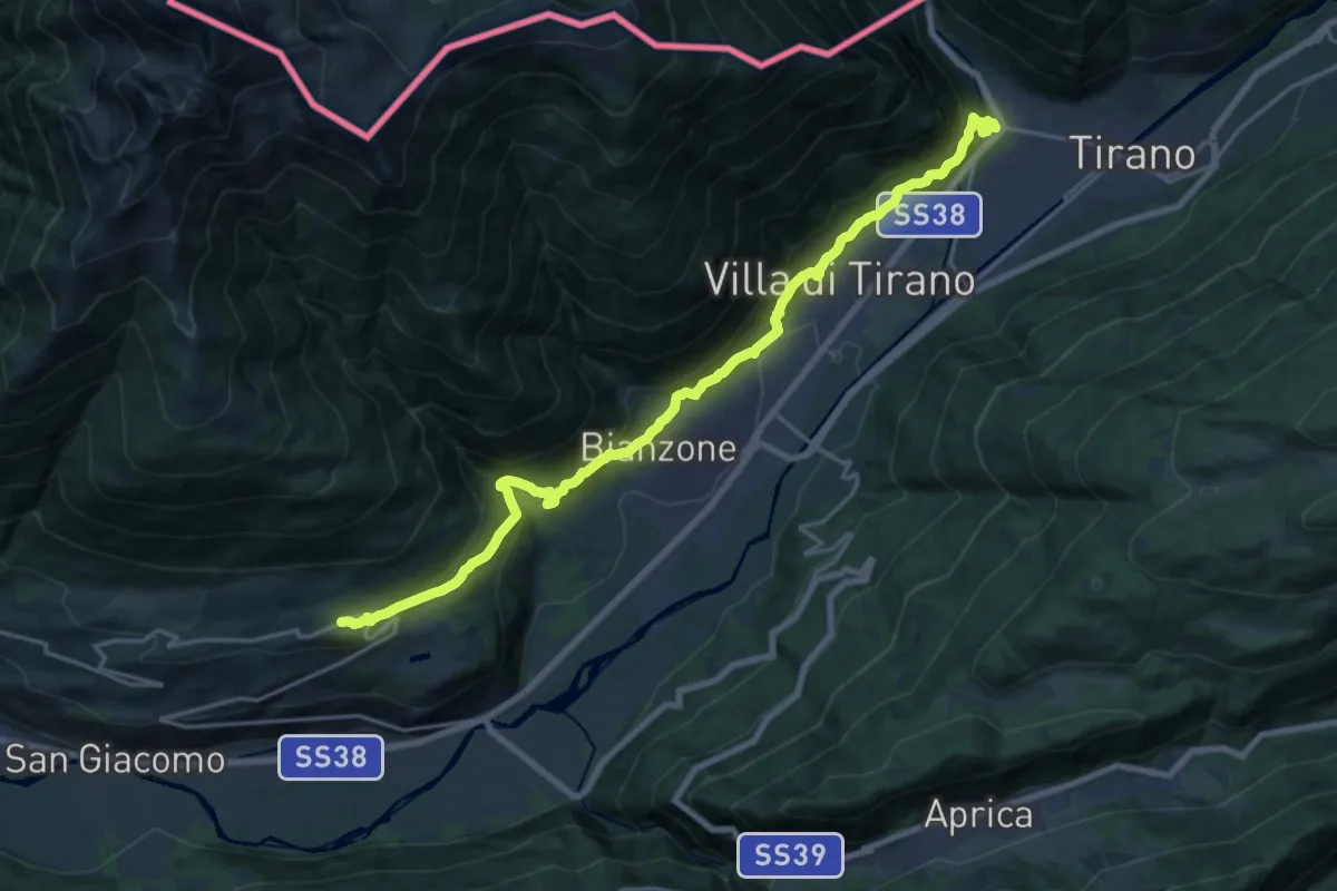
Demanding · Trail
Cammino Mariano delle Alpi - Via Occidentale - Tappa 5
21.2 km · ↑ 1140 m · 7 h 29 min · 10 km away
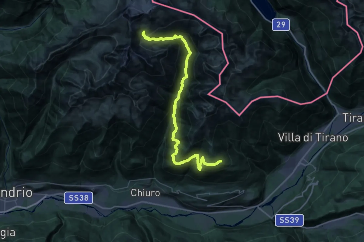
Demanding · Cabin
Rifugio Cederna Maffina – Prato Valentino
19.3 km · ↑ 1801 m · 8 h 17 min · 10 km away
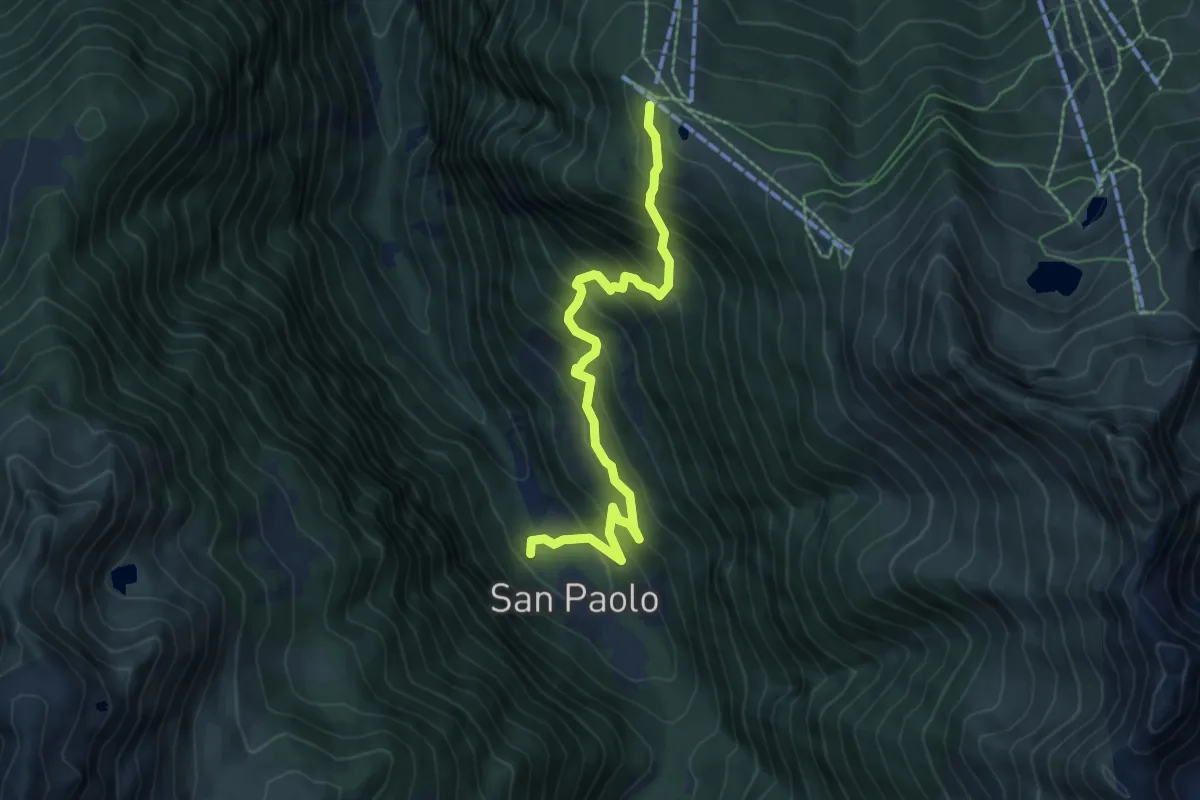
Medium · Trail
Innesto Sentiero 301 – Innesto Sentiero 323
7.1 km · ↑ 766 m · 3 h 20 min · 10 km away
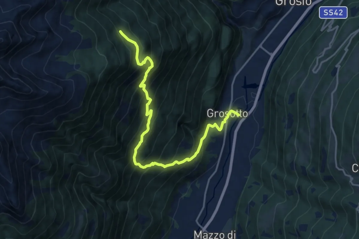
Demanding · Trail
Via Molini (Grosotto) – 201
12.9 km · ↑ 1269 m · 5 h 48 min · 10 km away
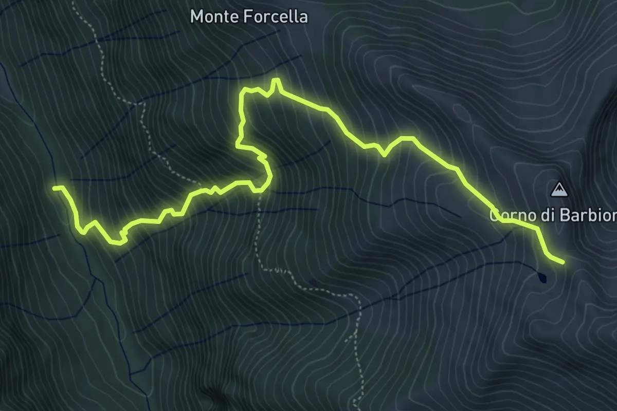
Demanding · Trail
Ponte della Gallina – Porta di Barbione
7.4 km · ↑ 1009 m · 3 h 56 min · 10 km away