Trails near Tirano
193 hikes starting within 15 km, nearest first.
Nearest first, page 3 of 5
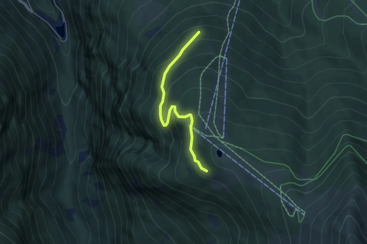
Medium · Trail
Innesto Sentiero 335 – Innesto Sentiero 301
3.6 km · ↑ 259 m · 1 h 25 min · 10 km away
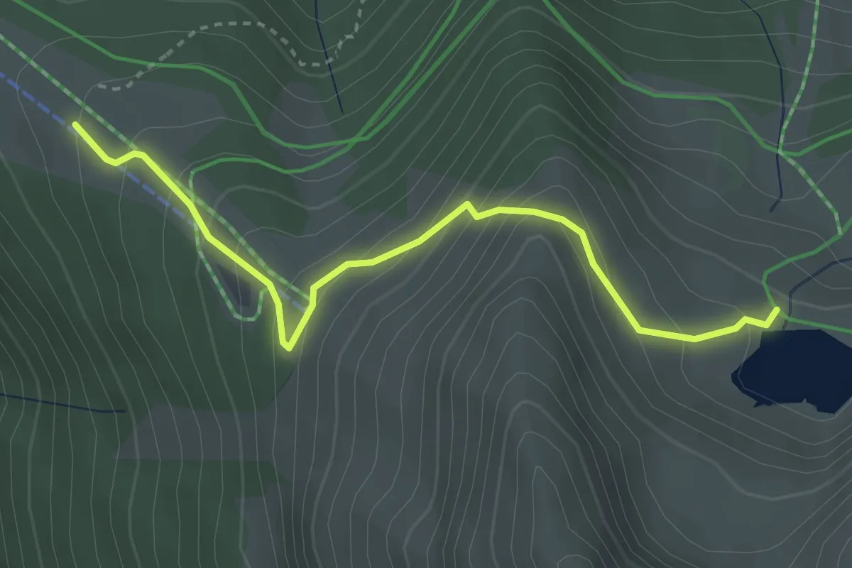
Medium · Cabin
Innesto Sentiero 301 – Innesto Sentiero 327
3.4 km · ↑ 323 m · 1 h 30 min · 10 km away
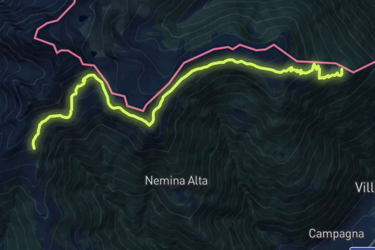
Demanding · Summit
Prato Valentino – Tirano Stazione
18.4 km · ↑ 1200 m · 6 h 56 min · 10 km away
Demanding · Summit
Tirano Stazione – Passo Caldenno
18.4 km · ↑ 1200 m · 6 h 56 min · 10 km away
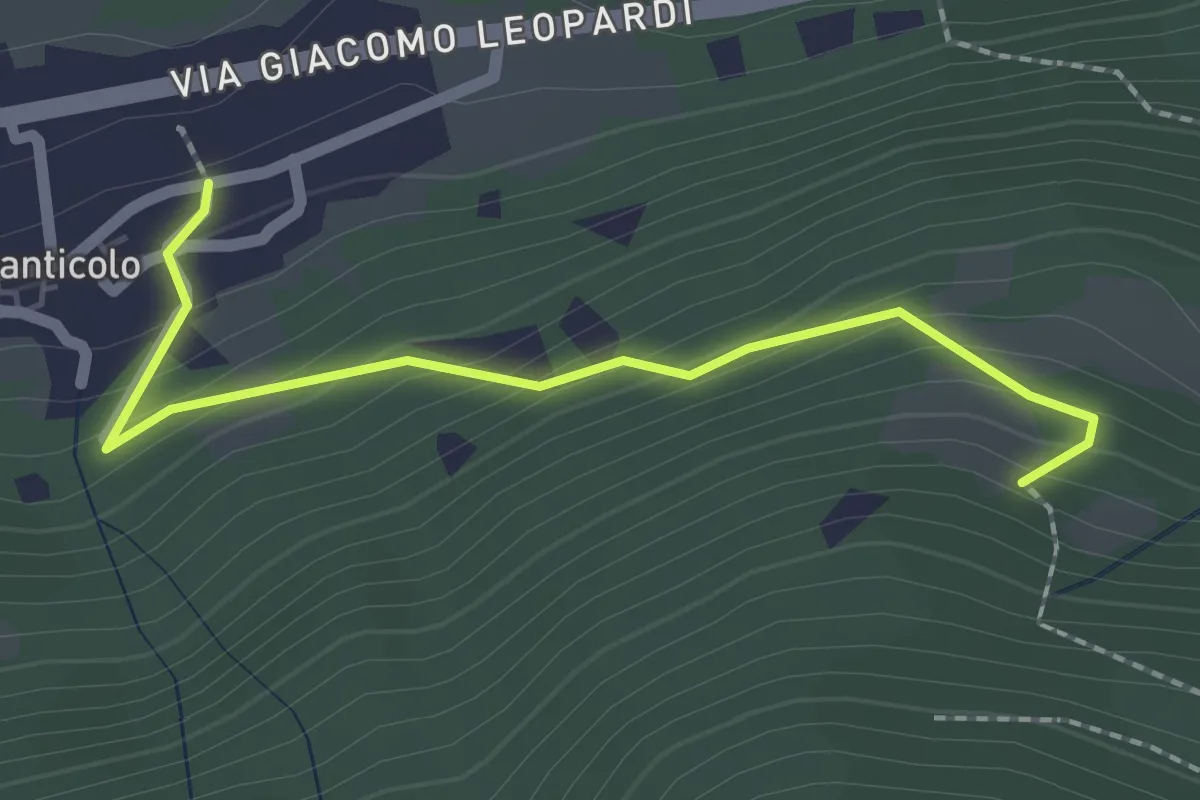
Easy · Trail
Via Giuseppe Garibaldi (Santicolo) – Innesto Sentiero 124
2.1 km · ↑ 161 m · 51 min · 10 km away
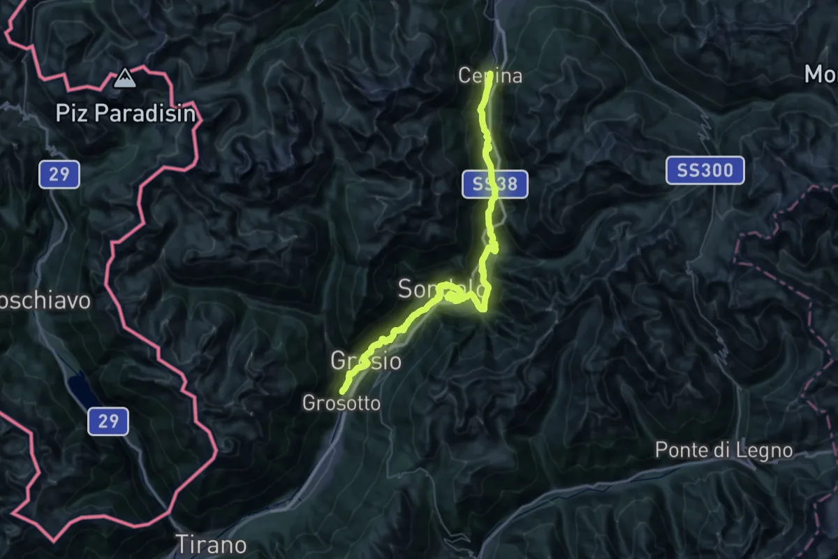
Demanding · Pilgrim path
Cammino Mariano delle Alpi - Via Orientale - Tappa 2
28.5 km · ↑ 1096 m · 9 h 15 min · 10 km away
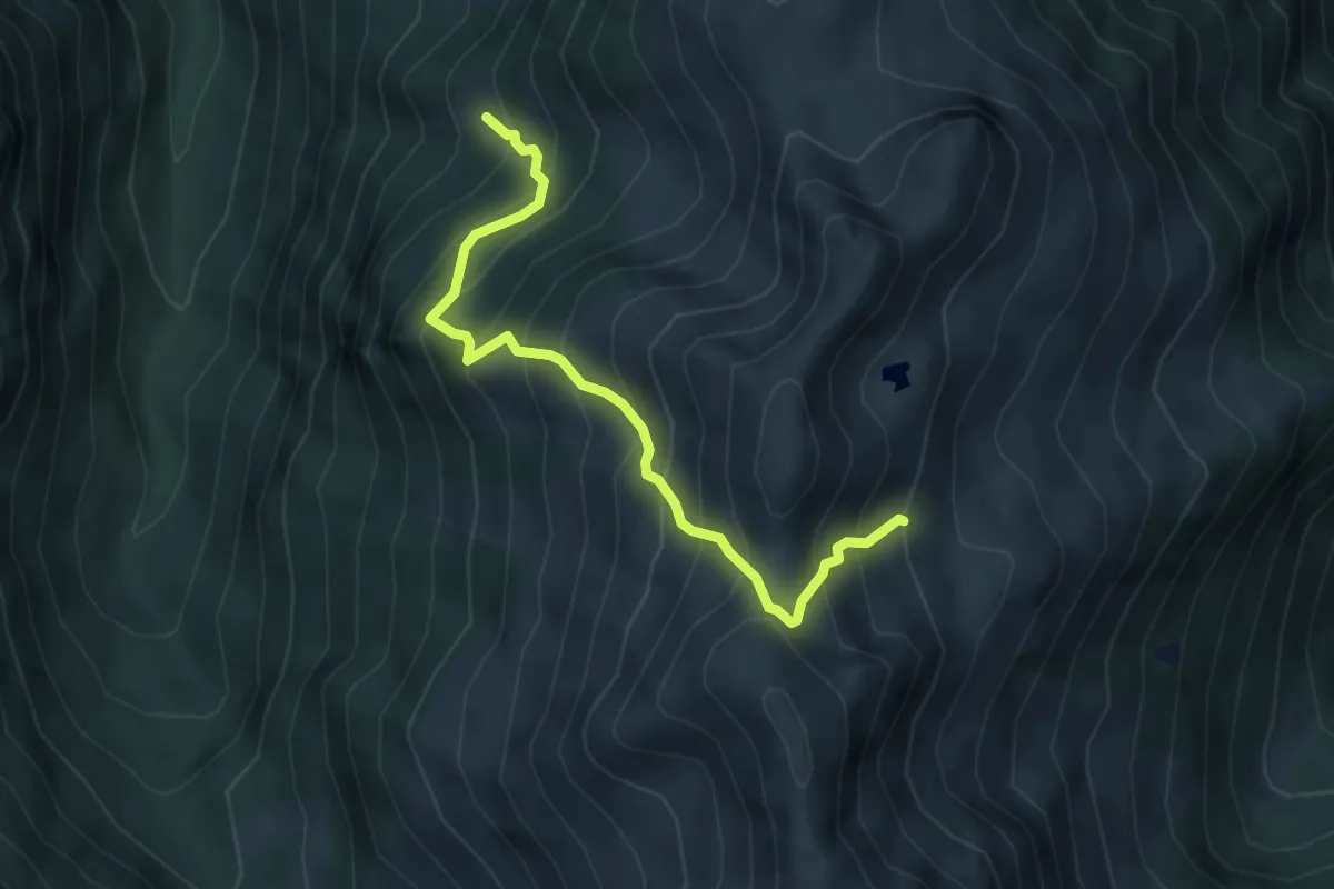
Medium · Trail
Sentiero 128B
4.6 km · ↑ 685 m · 2 h 35 min · 10 km away
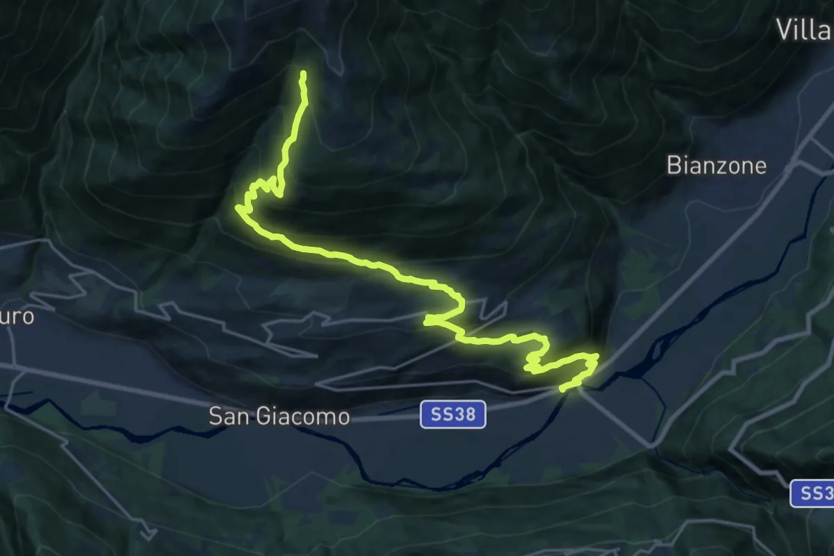
Medium · Trail
Stazione di Tesenda – Innesto Sentiero 301
11.5 km · ↑ 44 m · 3 h 42 min · 10 km away
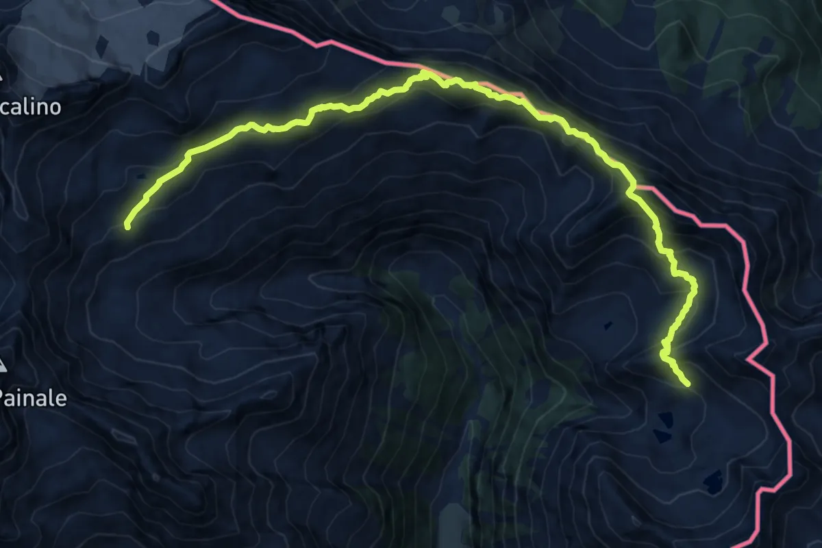
Expert · Summit
Alta via della Val Fontana
7.9 km · ↑ 806 m · 3 h 38 min · 10 km away
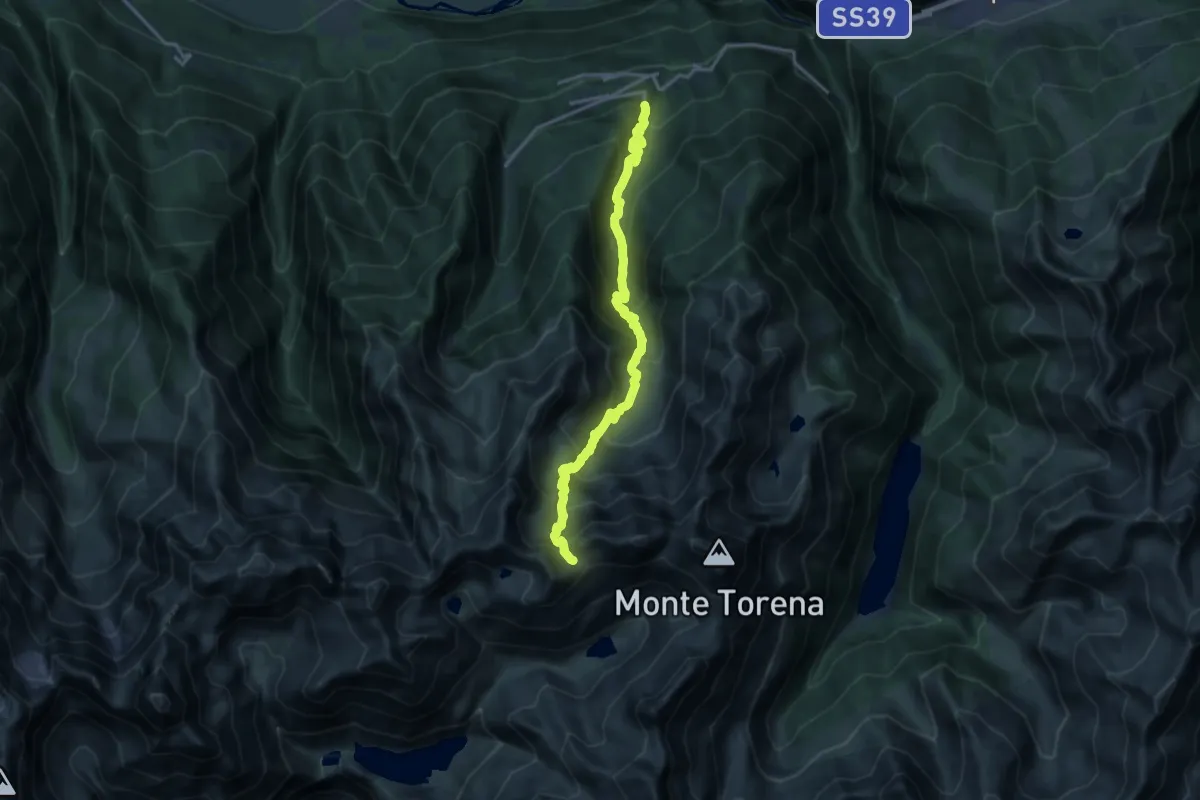
Demanding · Trail
Carona – Passo Caronella
16.2 km · ↑ 1497 m · 7 h 4 min · 11 km away
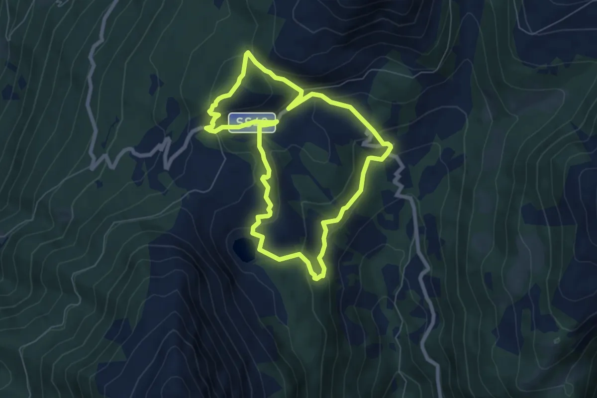
Medium · Summit
Sentiero Brigata Fiamme Verdi Antonio Schivardi - Luigi Tosetti
6.0 km · ↑ 303 m · 2 h 10 min · 11 km away
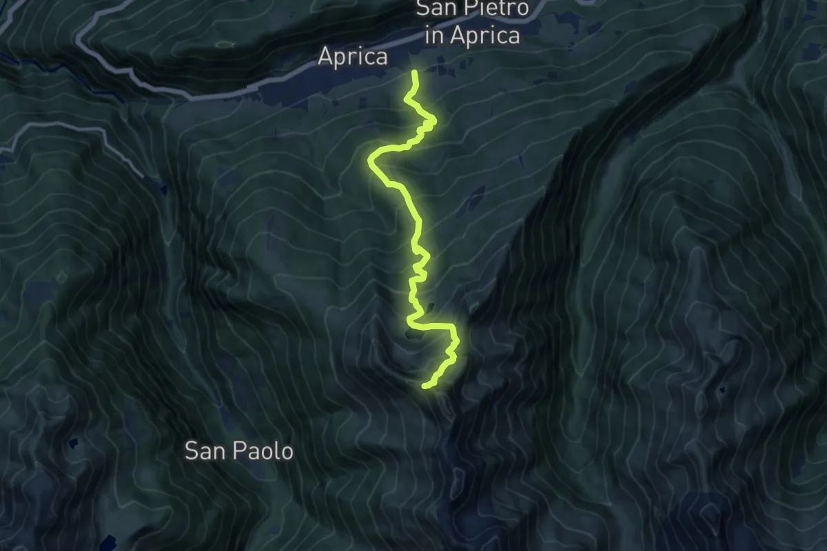
Demanding · Trail
Innesto Sentiero 339 – Innesto Sentiero 330
11.9 km · ↑ 1248 m · 5 h 30 min · 11 km away
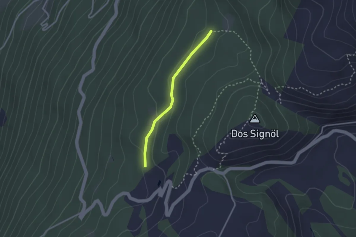
Easy · Cabin
Innesto Sentiero 445 – Innesto Sentiero 444
2.0 km · ↑ 65 m · 37 min · 11 km away
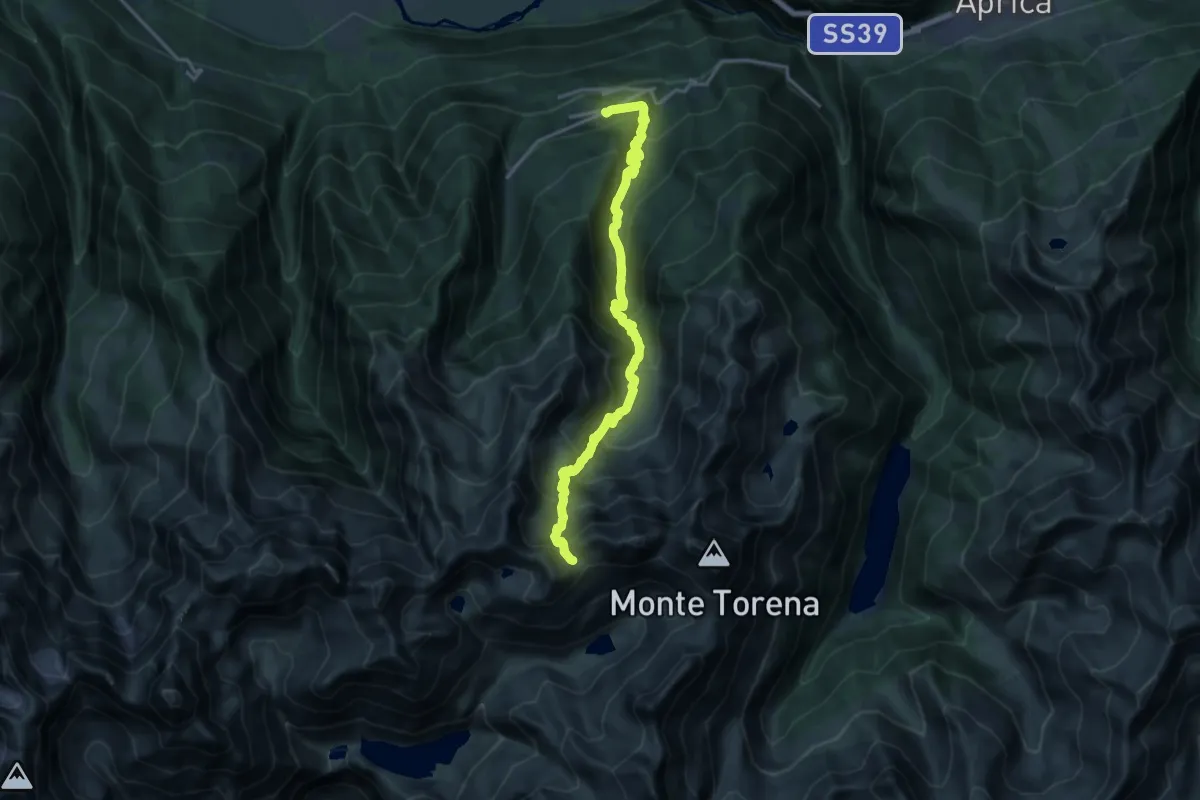
Demanding · Trail
Incrocio Sentiero 316 - Sentiero 322 – Passo di Caronella
17.7 km · ↑ 1569 m · 7 h 35 min · 11 km away
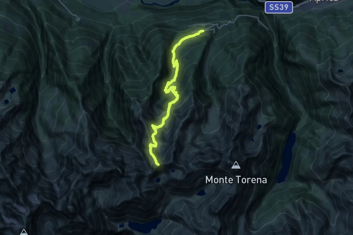
Demanding · Trail
Bondone – Passo Bondone
10.6 km · ↑ 1664 m · 5 h 28 min · 11 km away
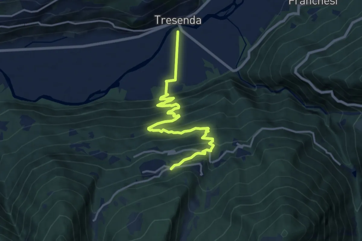
Medium · Trail
Innesto Sentiero 323 – Innesto Sentiero 323
11.9 km · ↑ 773 m · 4 h 29 min · 11 km away
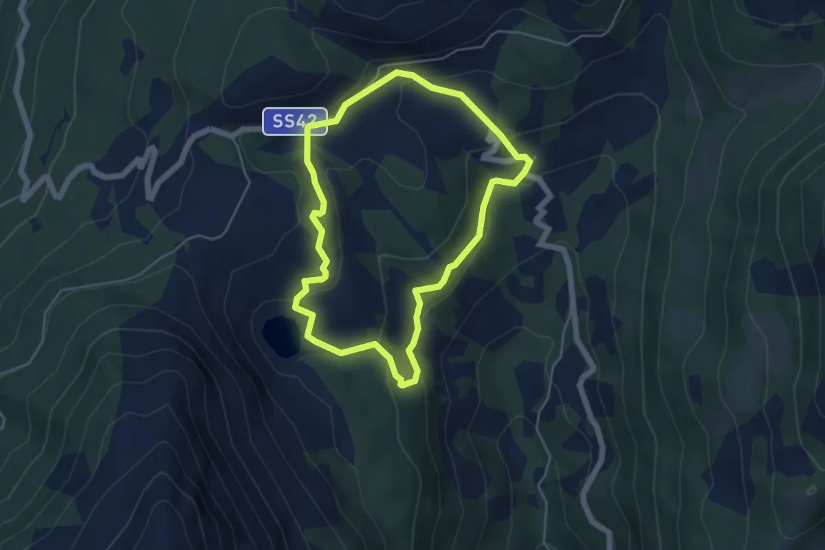
Easy · Trail
Moiàc
4.2 km · ↑ 194 m · 1 h 27 min · 11 km away
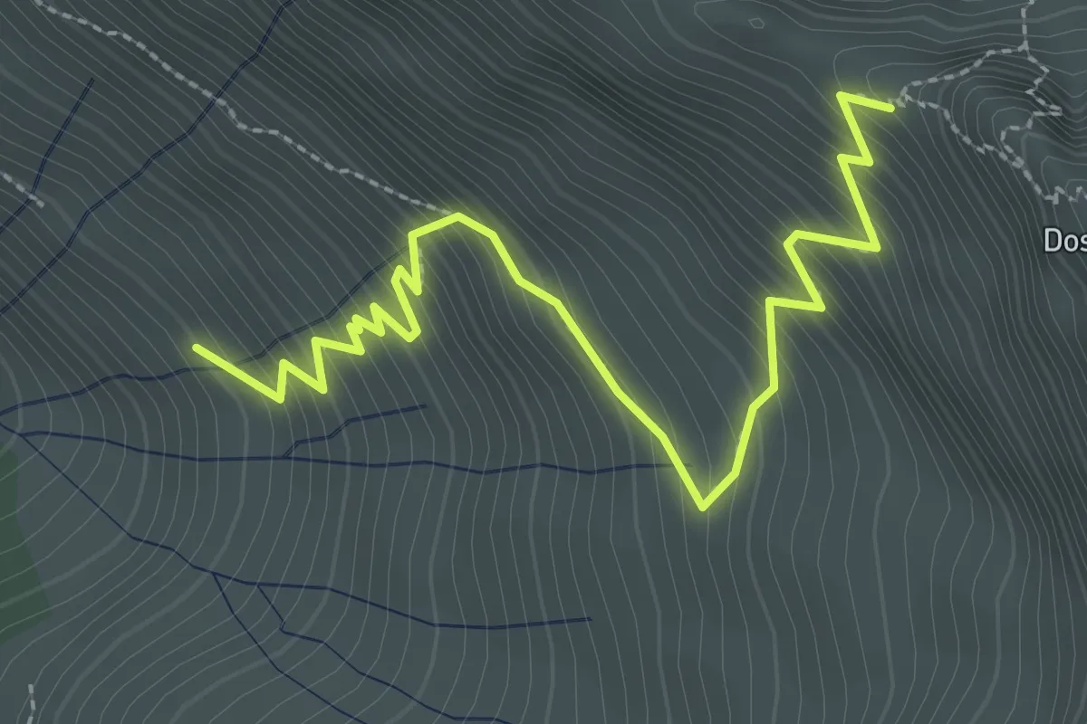
Demanding · Trail
Innesto Sentiero 301 – Innesto Sentiero 327
3.3 km · ↑ 420 m · 1 h 41 min · 11 km away
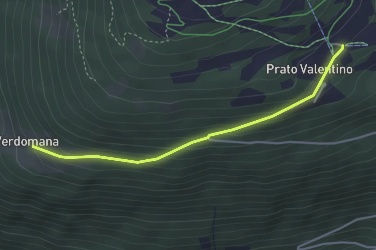
Easy · Cabin
Innesto Sentiero 301 – Innesto Sentiero 301
3.1 km · ↑ 165 m · 1 h 6 min · 11 km away
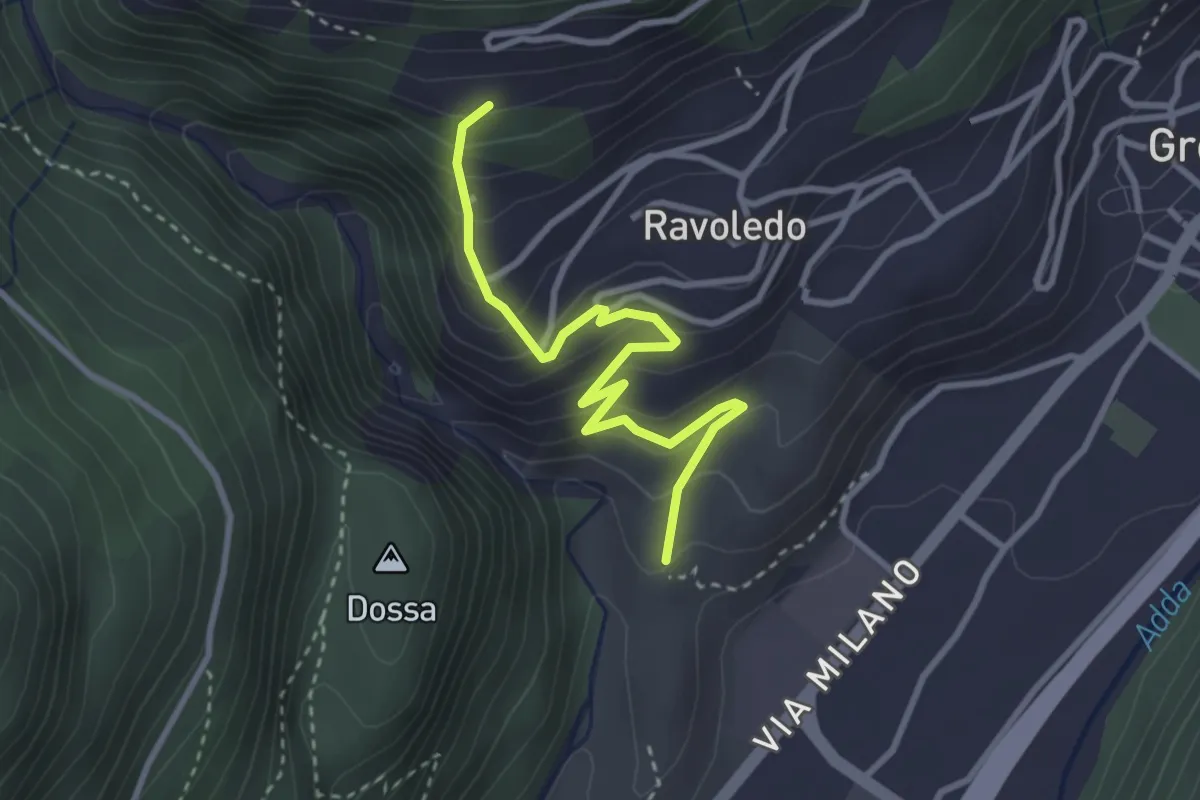
Expert · Trail
202 – 250
3.2 km · ↑ 297 m · 1 h 24 min · 11 km away
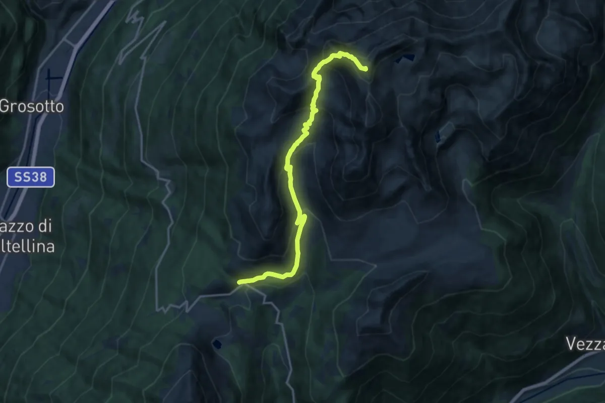
Demanding · Summit
Val Varadega – Pianaccio
14.4 km · ↑ 1063 m · 5 h 42 min · 11 km away
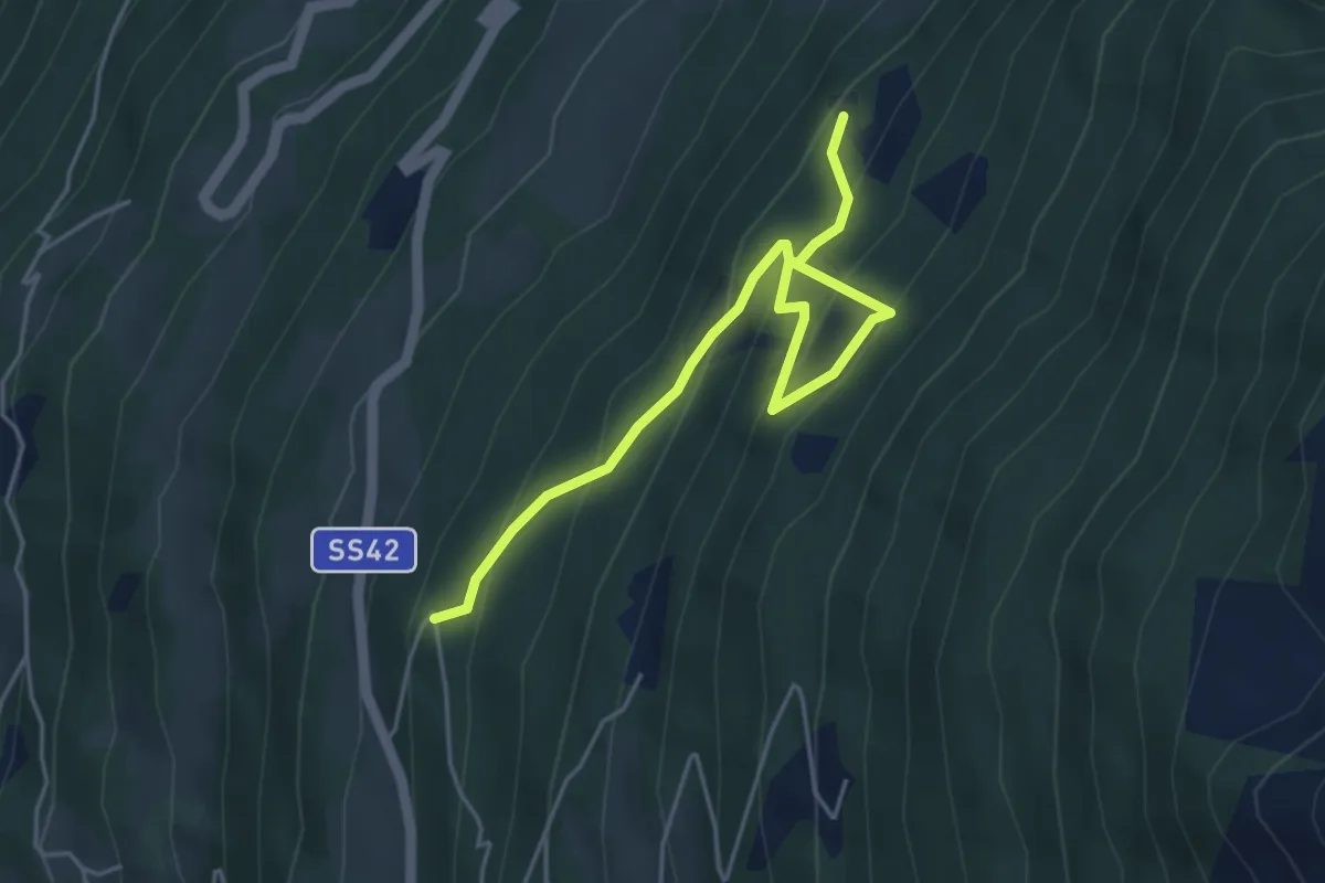
Medium · Trail
Innesto Sentiero 448 – Innesto Sentiero 450
5.0 km · ↑ 424 m · 2 h 7 min · 11 km away
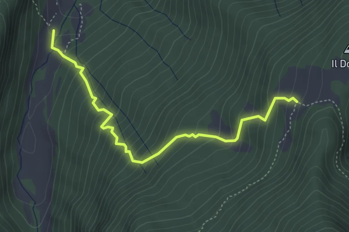
Demanding · Trail
Pra di Gianni – Malga Dosso
4.4 km · ↑ 503 m · 2 h 8 min · 11 km away
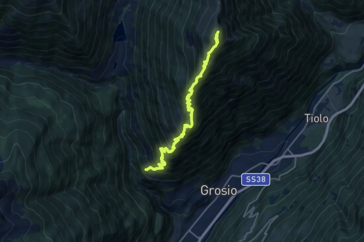
Demanding · Summit
Chiesa di San Giacomo (Ravoledo) – Monte Storile
12.9 km · ↑ 1551 m · 6 h 24 min · 12 km away
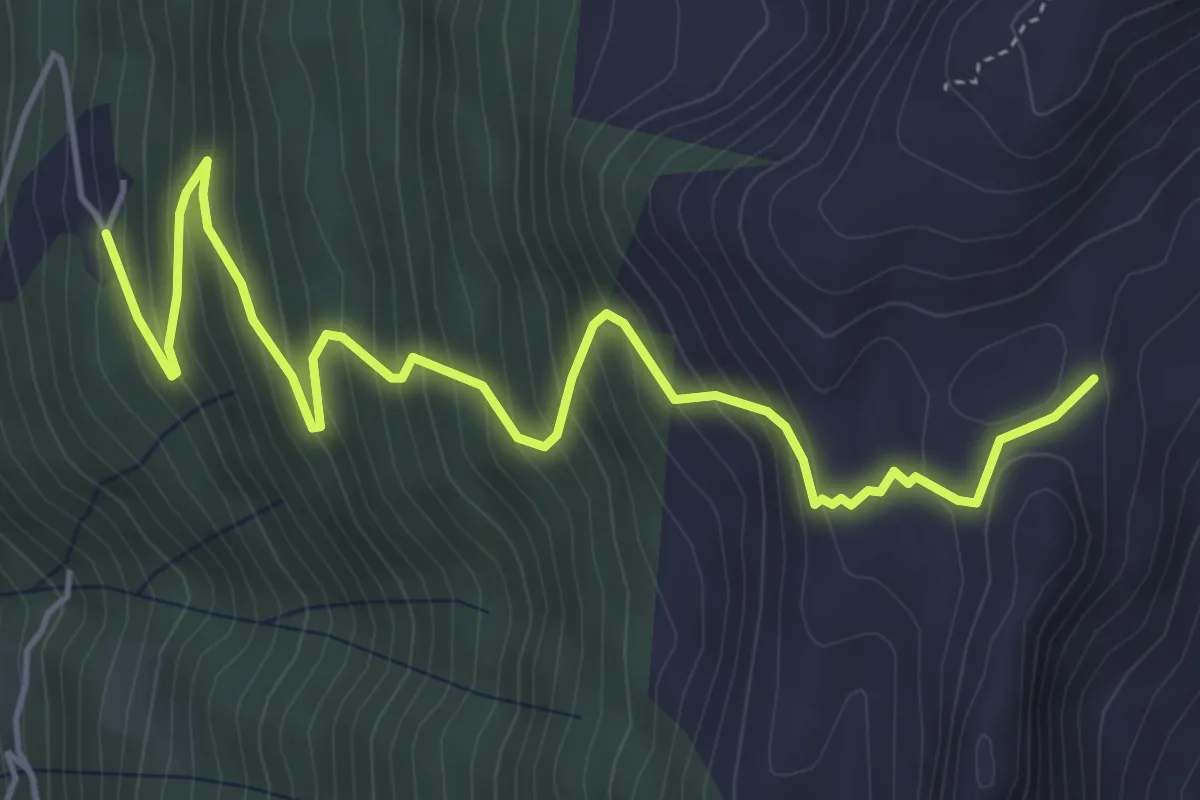
Medium · Trail
Innesto Sentiero 448 – Innesto Sentiero 450
6.1 km · ↑ 560 m · 2 h 40 min · 12 km away
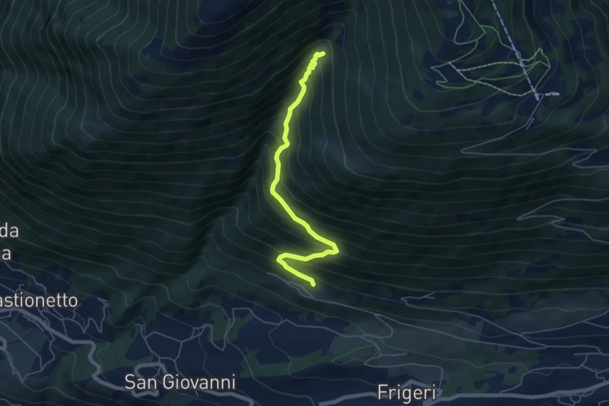
Medium · Trail
Innesto Sentiero 391 – Innesto Sentiero 301
5.3 km · ↑ 579 m · 2 h 30 min · 12 km away
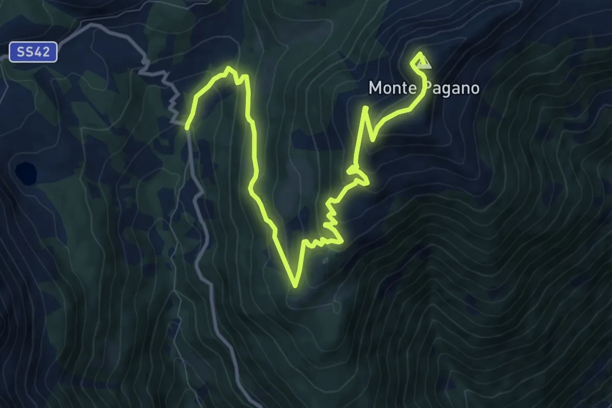
Demanding · Summit
Val Bighera – Mortirolo
12.2 km · ↑ 788 m · 4 h 35 min · 12 km away
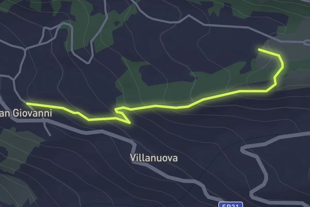
Easy · Trail
Innesto Sentiero 391 – Innesto Sentiero 391B
3.2 km · ↑ 192 m · 1 h 10 min · 12 km away
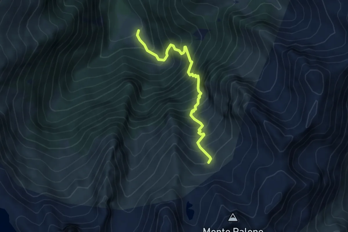
Demanding · Trail
Malga Casazza – Malga Torsolazzo
5.3 km · ↑ 807 m · 3 h · 12 km away
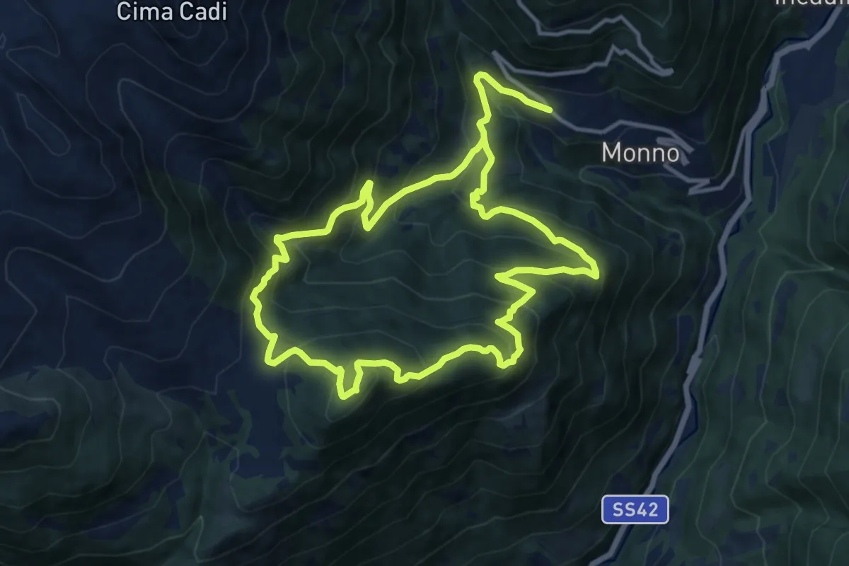
Medium · Summit
Sentiero dei cervi
11.0 km · ↑ 758 m · 4 h 25 min · 12 km away
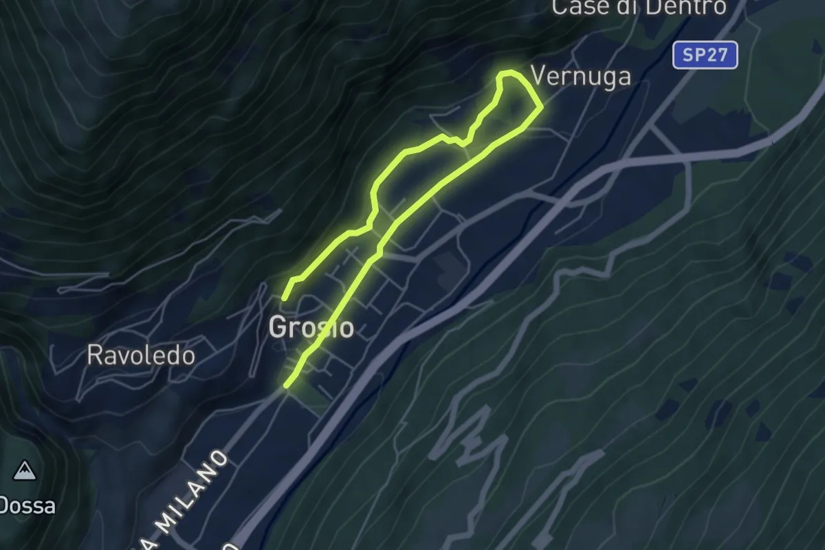
Medium · Trail
Via Roma (Grosio) – 250
6.8 km · ↑ 201 m · 2 h 3 min · 12 km away
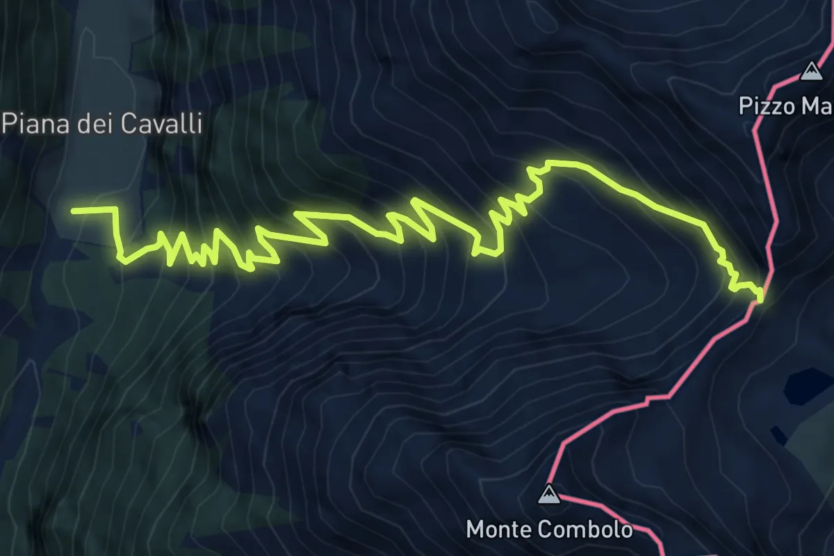
Expert · Trail
Innesto Sentiero 301 – Passo Malgina
10.2 km · ↑ 1188 m · 4 h 58 min · 12 km away
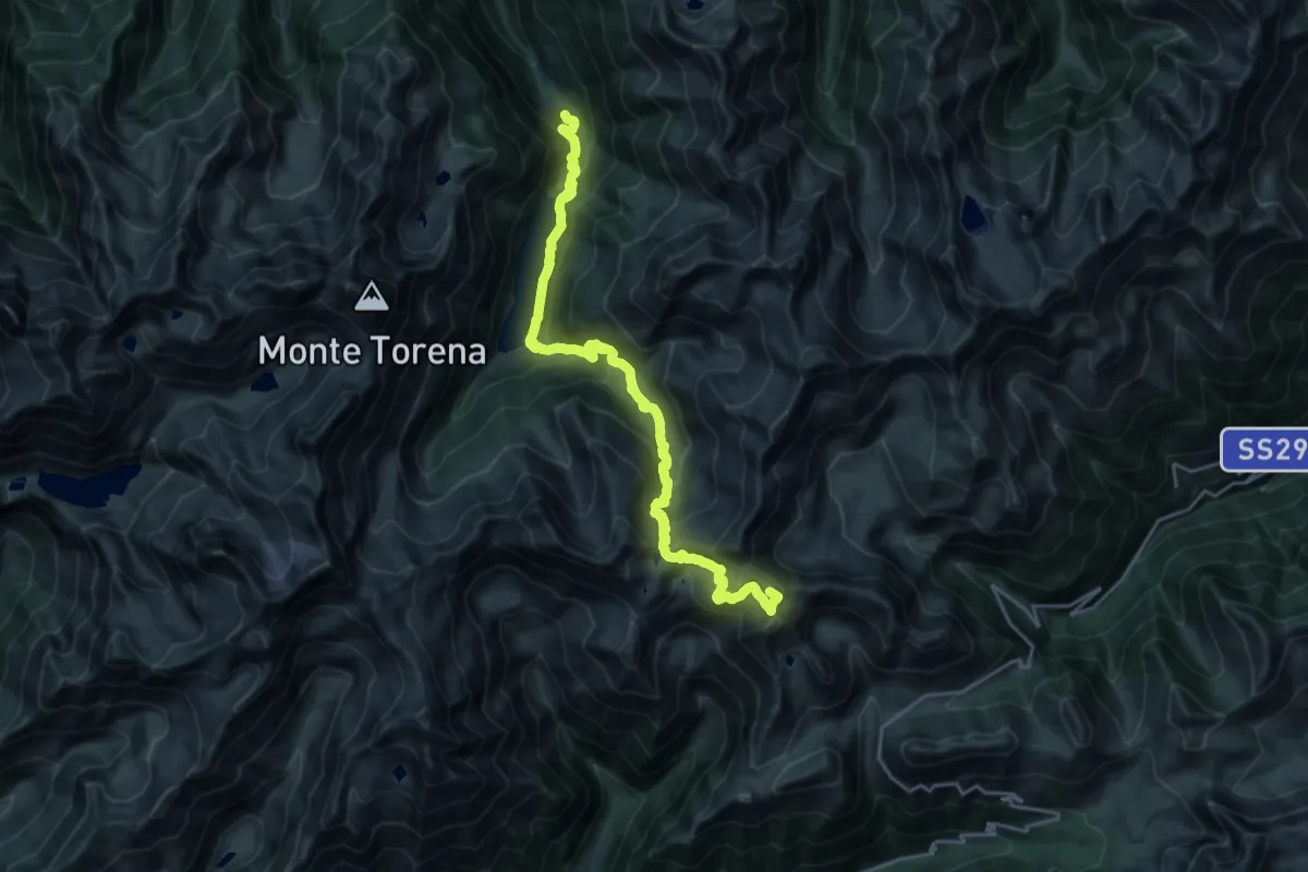
Expert · Summit
CamminaForeste - Tappa 4E
25.0 km · ↑ 1781 m · 9 h 45 min · 12 km away
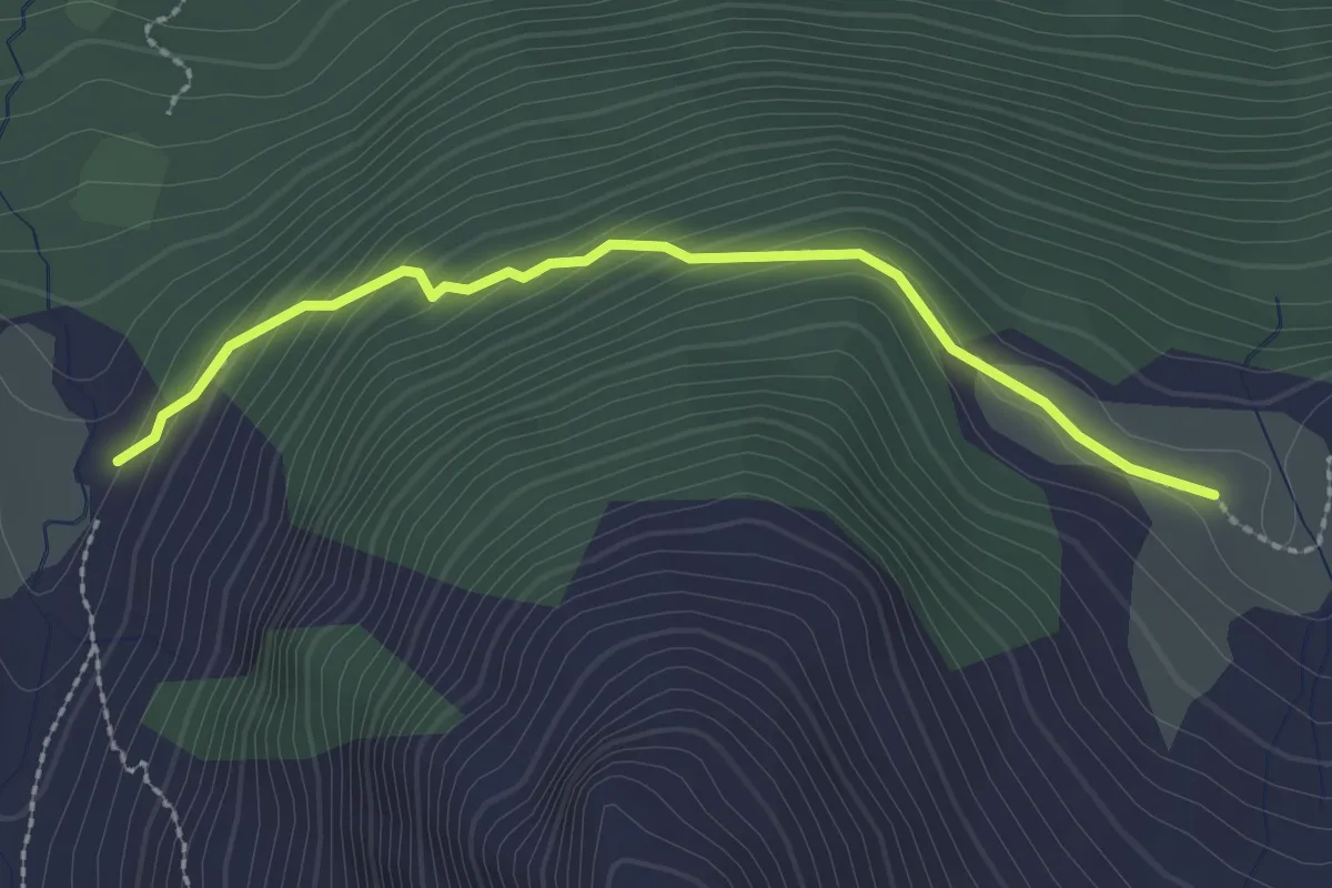
Easy · Trail
Innesto Sentiero 249 – Innesto Sentiero 201
2.4 km · ↑ 172 m · 56 min · 12 km away
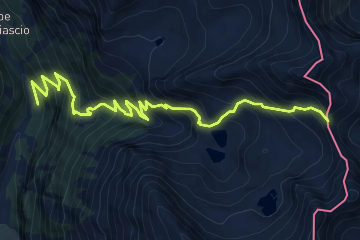
Demanding · Trail
Innesto Sentiero 301 – Passo dell'Arasé
9.0 km · ↑ 1034 m · 4 h 23 min · 12 km away
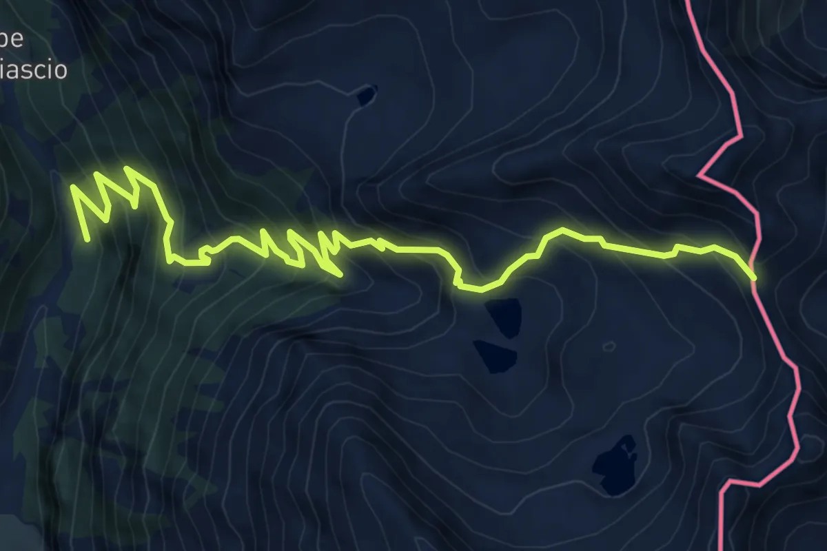
Demanding · Trail
Campello – Passo dell'Arasé
9.0 km · ↑ 1034 m · 4 h 23 min · 12 km away
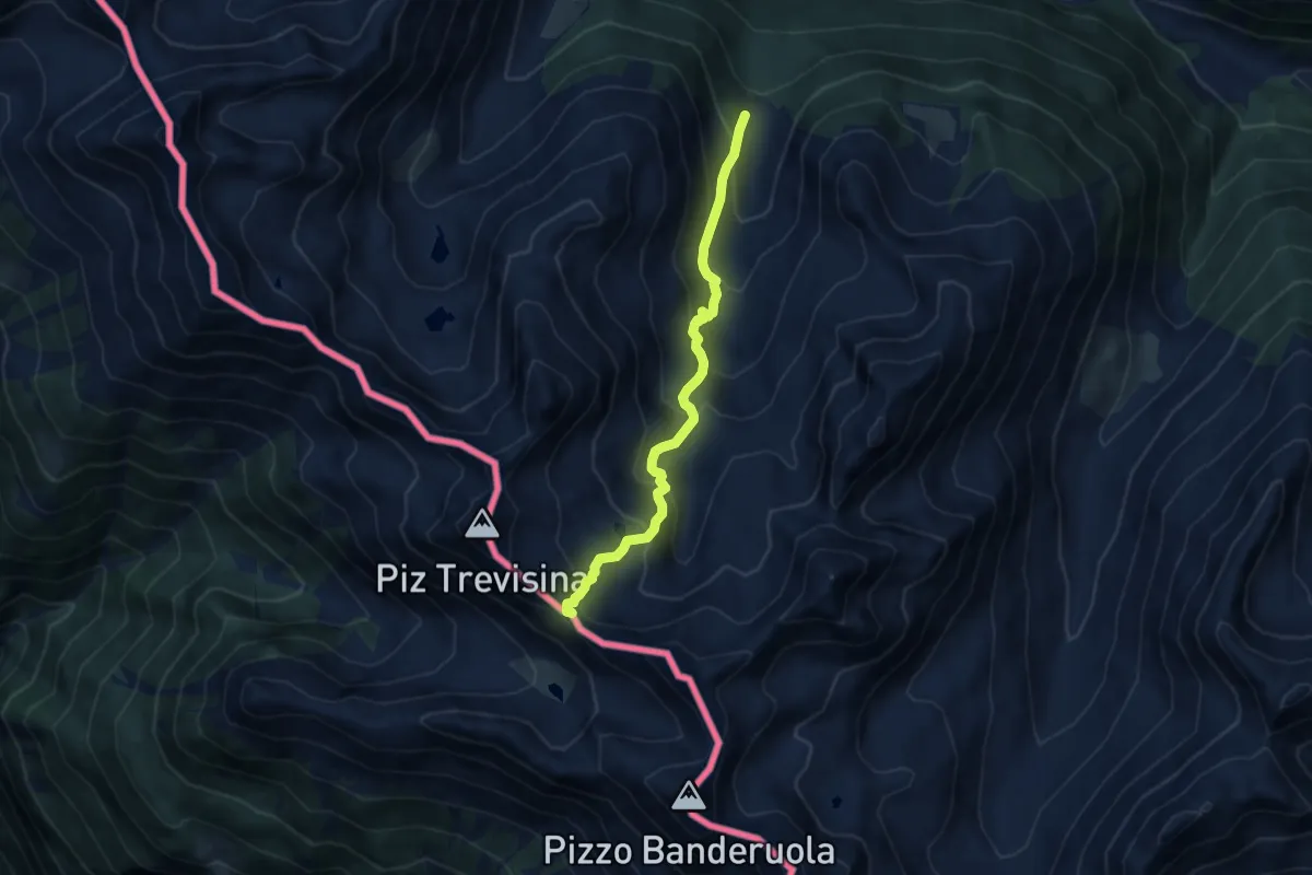
Medium · Trail
Campo Pedruna – Passo di Guinzana
7.9 km · ↑ 698 m · 3 h 22 min · 12 km away
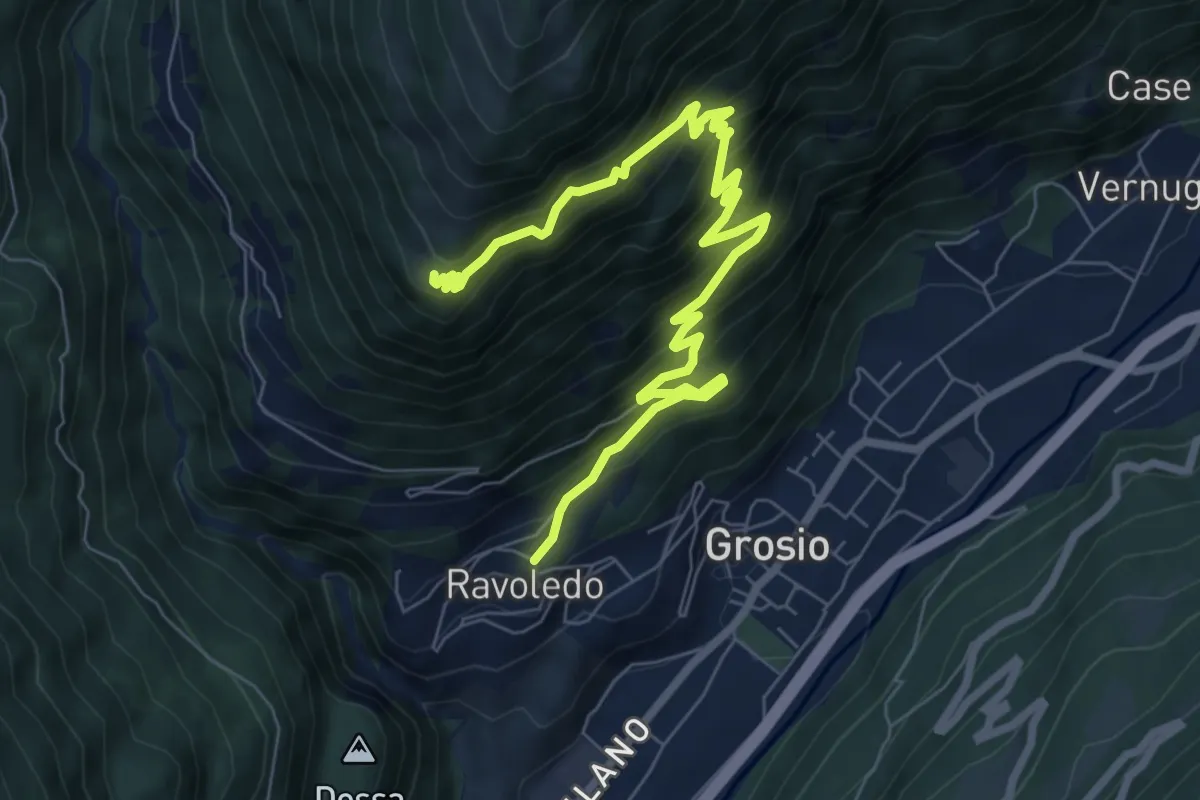
Demanding · Trail
Ravoledo – 251
9.3 km · ↑ 923 m · 4 h 11 min · 12 km away
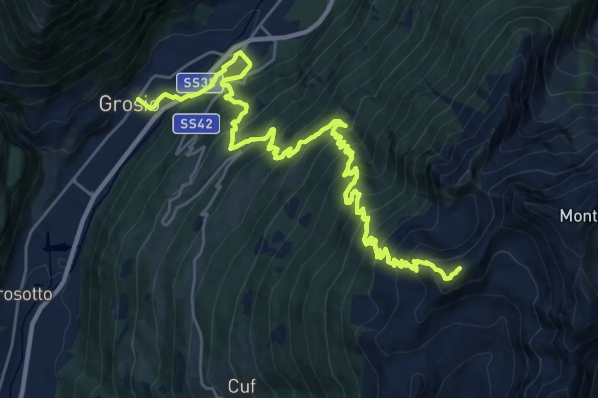
Demanding · Summit
Innesto Sentiero 248 – Varadega
21.6 km · ↑ 2154 m · 9 h 45 min · 12 km away
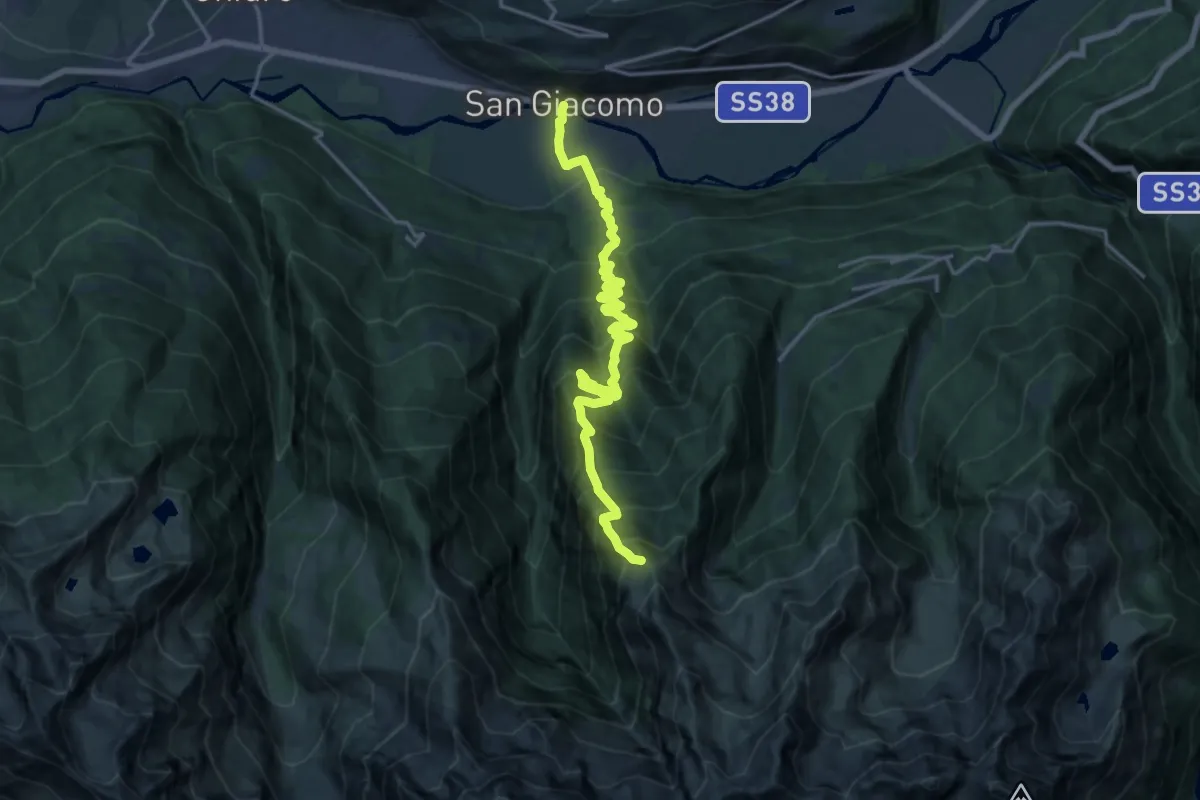
Demanding · Trail
Innesto Sentiero 308 – Innesto Sentiero 301
9.7 km · ↑ 1812 m · 5 h 29 min · 12 km away
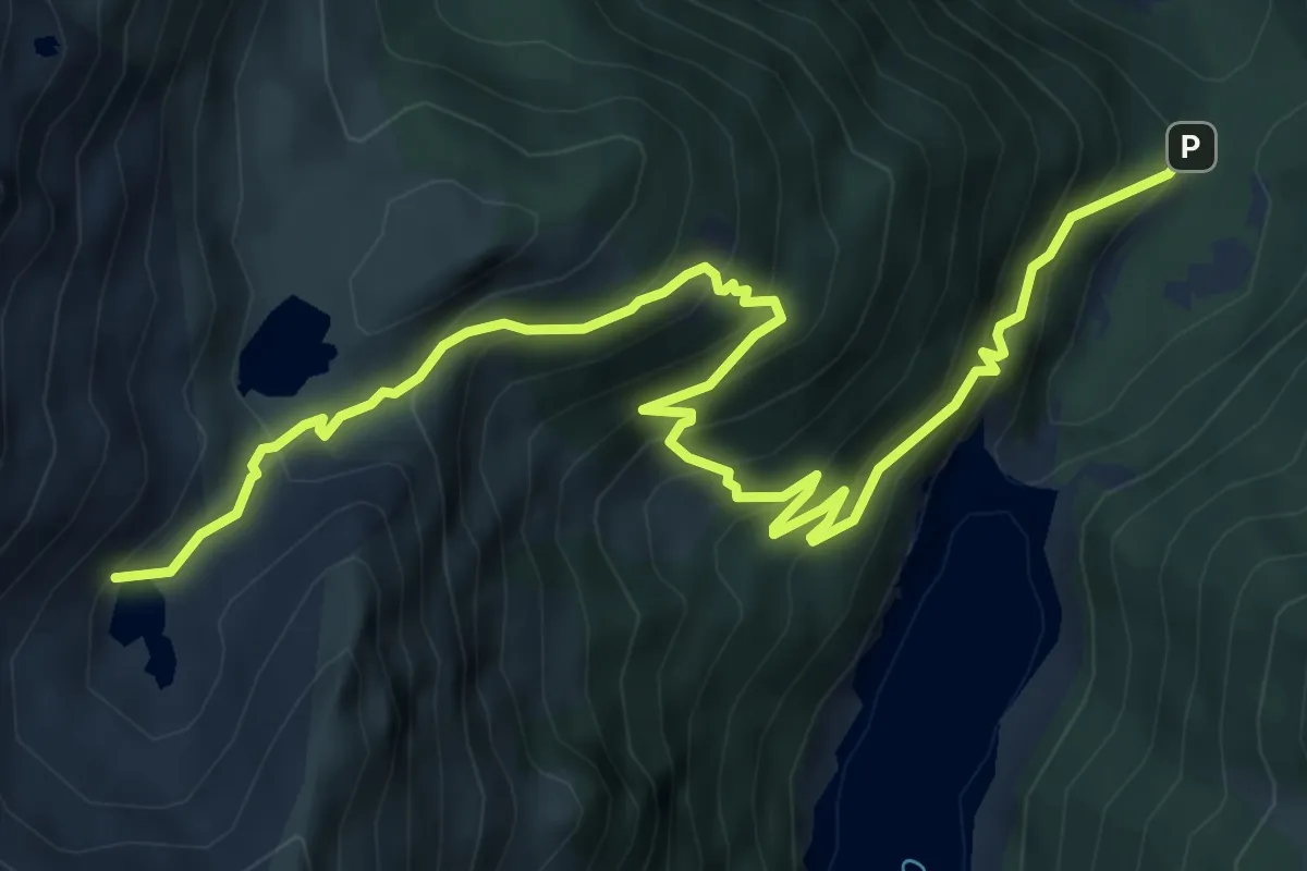
Demanding · Trail
Palazzina Falk – Laghi Torena
8.8 km · ↑ 839 m · 3 h 54 min · 12 km away
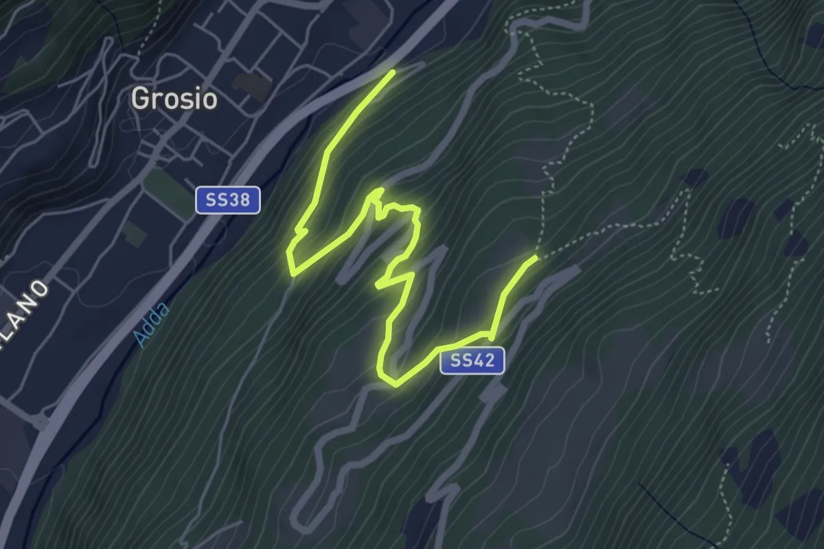
Medium · Trail
Innesto Sentiero 450 – Innesto Sentiero 450
5.7 km · ↑ 436 m · 2 h 17 min · 13 km away
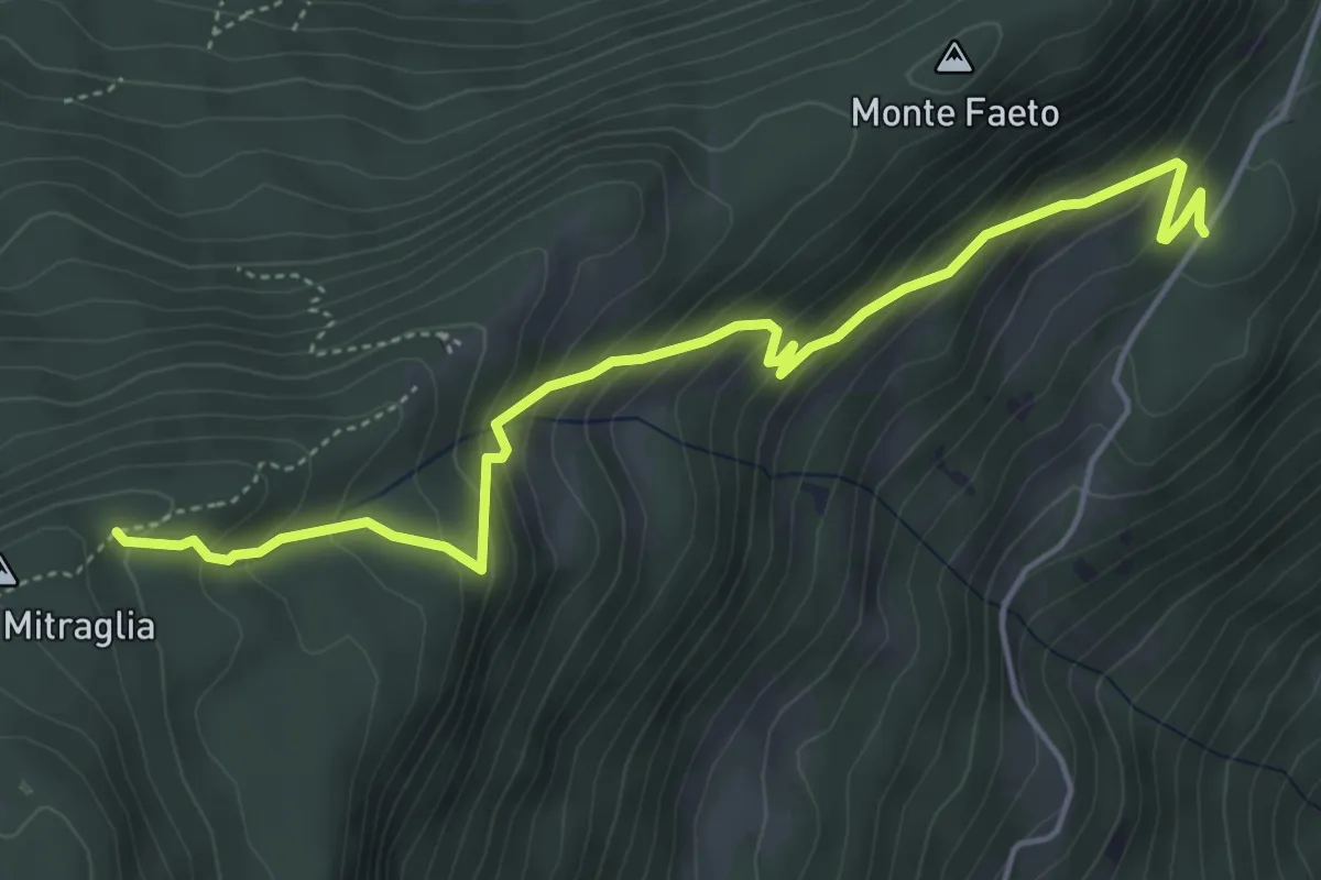
Medium · Trail
Malonno (Fletta) – Innesto Sentiero 195
5.3 km · ↑ 457 m · 2 h 15 min · 13 km away
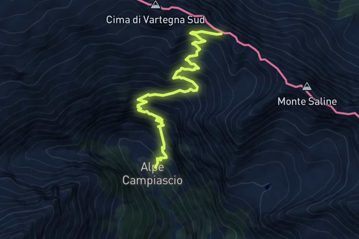
Expert · Trail
Innesto Sentiero 306 – Passo di Saline
8.6 km · ↑ 882 m · 3 h 56 min · 13 km away
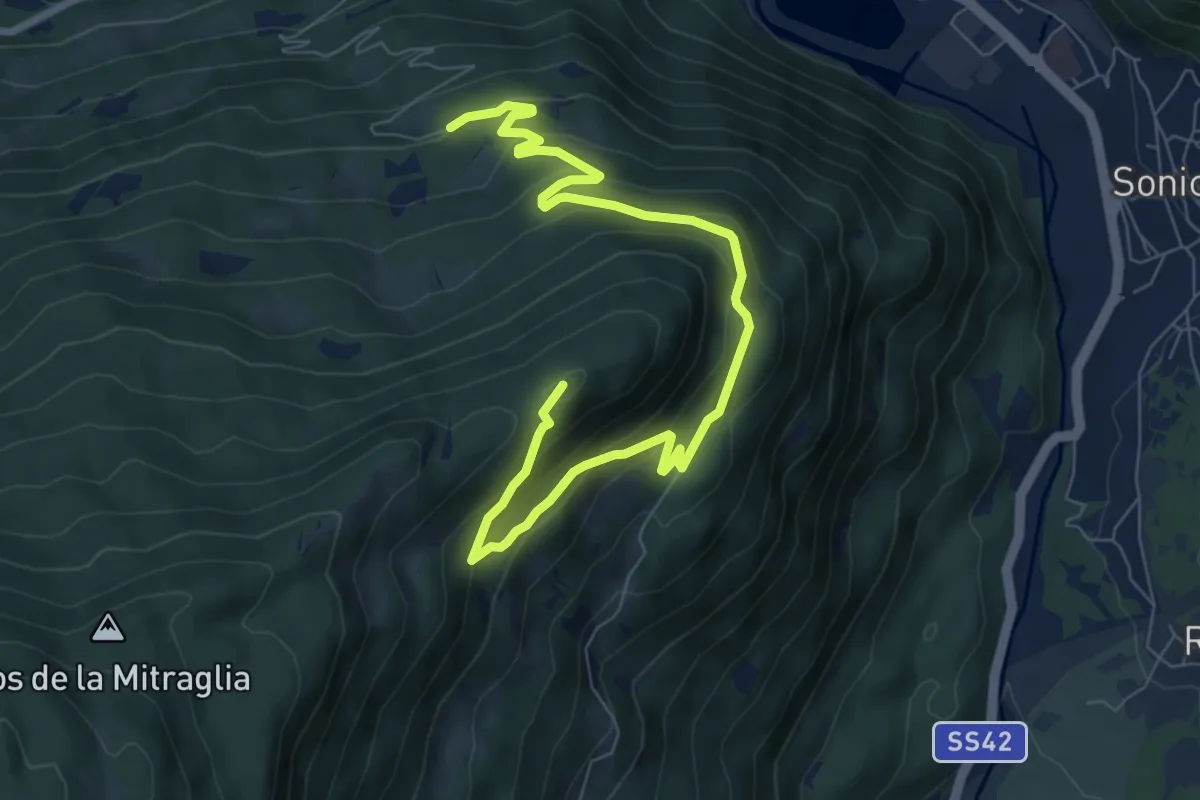
Medium · Summit
Edolo Trekking - Ciclopedonale del Monte Faeto
9.4 km · ↑ 461 m · 3 h 13 min · 13 km away
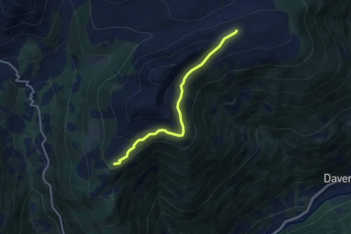
Easy · Trail
Intersezione percorso 145 – Pianaccio
6.7 km · ↑ 234 m · 2 h 5 min · 13 km away
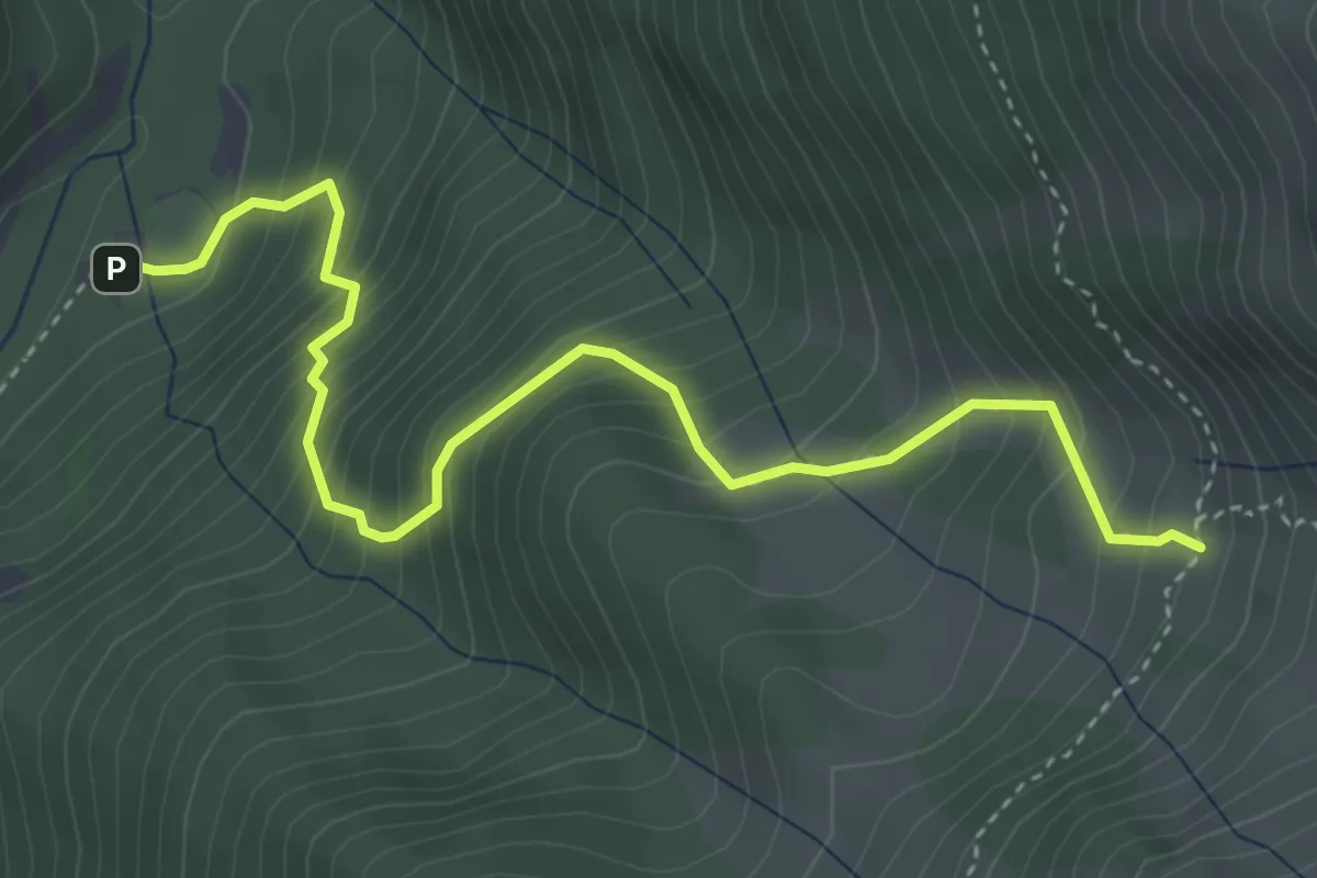
Demanding · Trail
Ponte di Frera - Malga Nembra
4.5 km · ↑ 604 m · 2 h 22 min · 13 km away
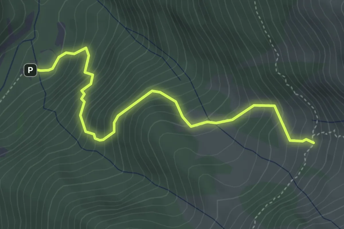
Demanding · Trail
Innesto Sentiero 323 – Innesto Sentiero 301
4.5 km · ↑ 604 m · 2 h 22 min · 13 km away