Trails near Tivoli
80 hikes starting within 15 km, nearest first.
Nearest first, page 1 of 2
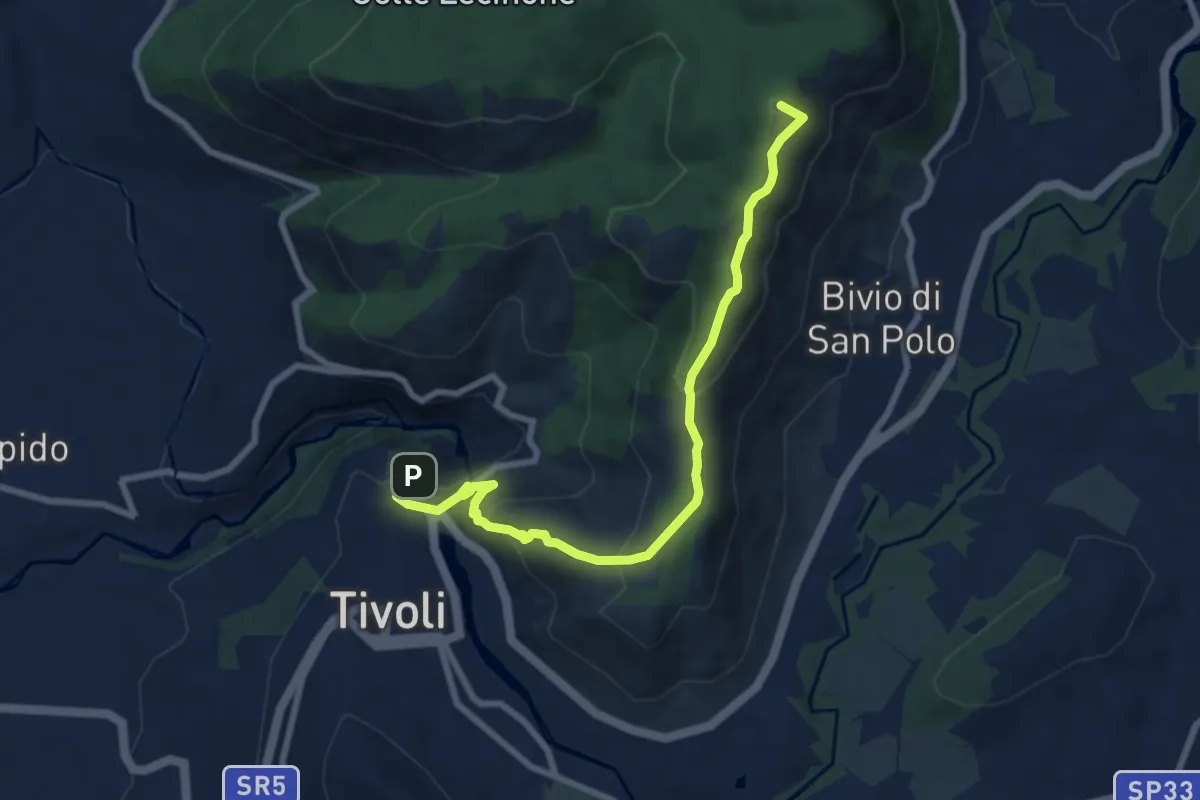
Medium · Summit
Cammino della Sibilla - Tappa 6
8.9 km · ↑ 459 m · 3 h 5 min · 1 km away
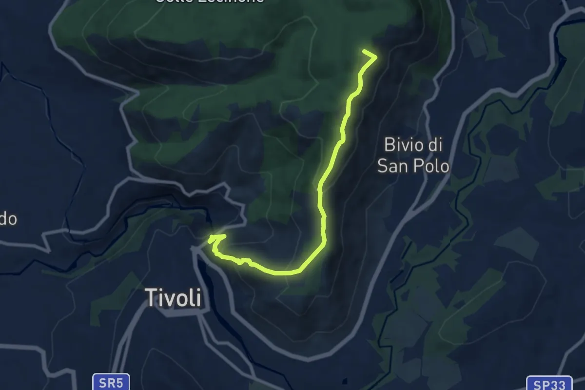
Medium · Summit
Via dei Lupi - Tappa 01
7.8 km · ↑ 414 m · 2 h 44 min · 1 km away
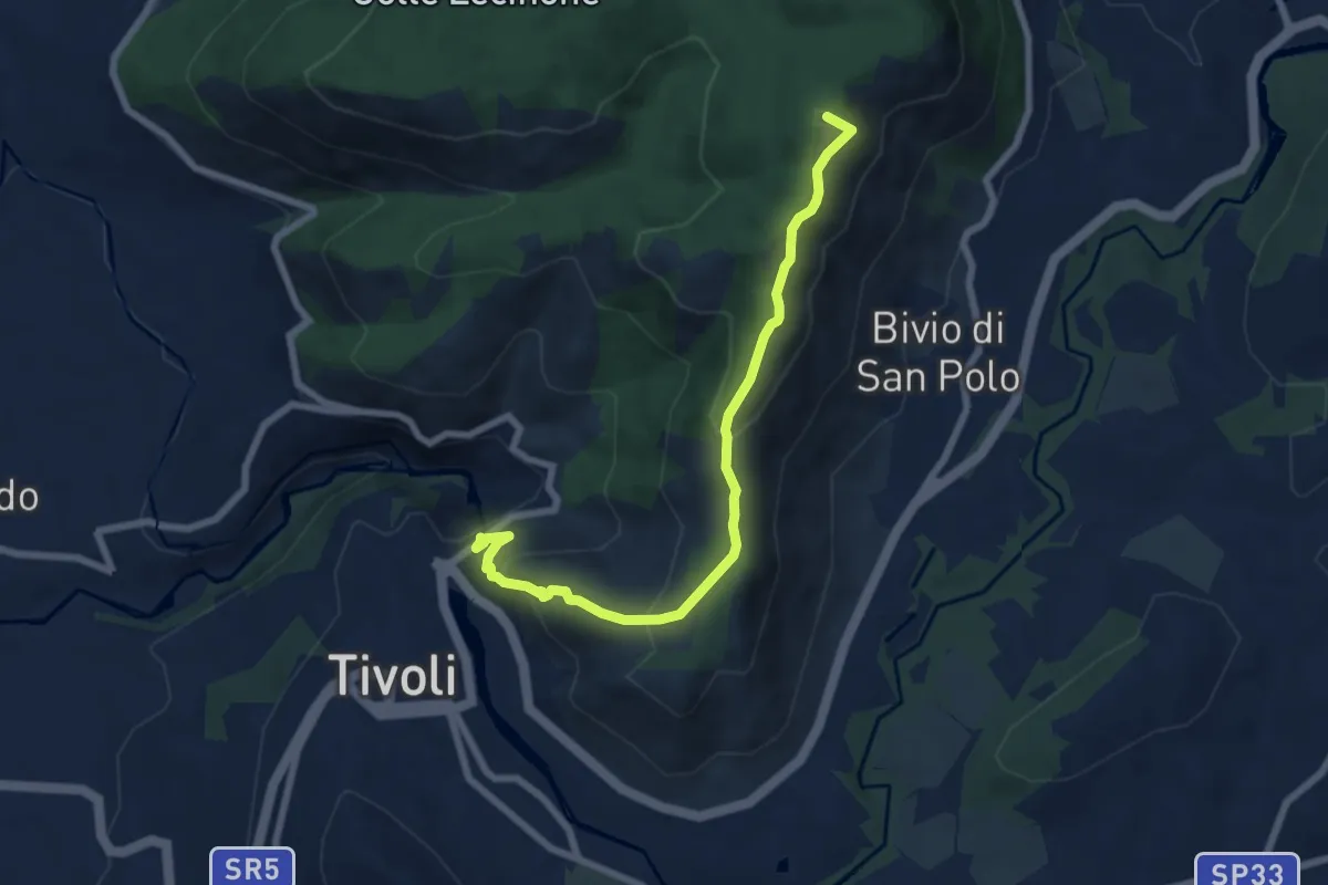
Medium · Summit
Tivoli-Colle Cucco
7.8 km · ↑ 414 m · 2 h 44 min · 1 km away
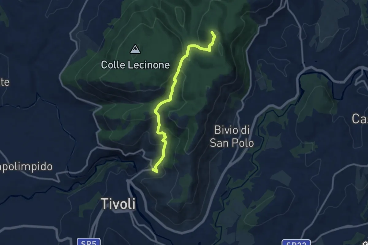
Medium · Summit
Sentiero Coleman - Tappa 7
8.5 km · ↑ 425 m · 2 h 55 min · 1 km away
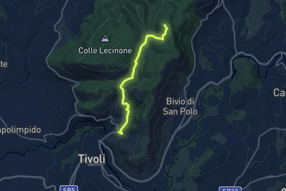
Medium · Summit
Bivio Hotel S. Angelo – San Polo dei Cavalieri
8.5 km · ↑ 425 m · 2 h 55 min · 1 km away
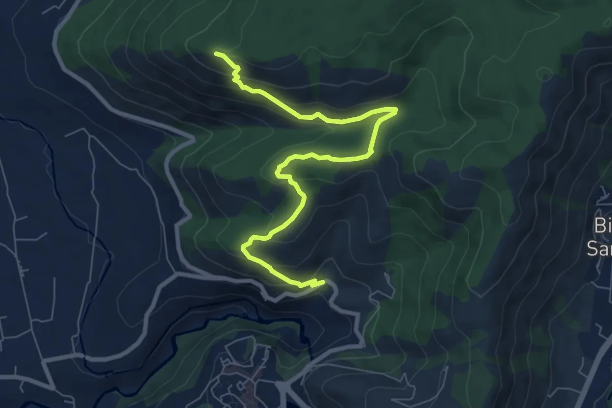
Medium · Summit
Sentiero Fantini St. SP30a Ex casello Ferroviario-Monte Sterparo
7.7 km · ↑ 411 m · 2 h 43 min · 1 km away
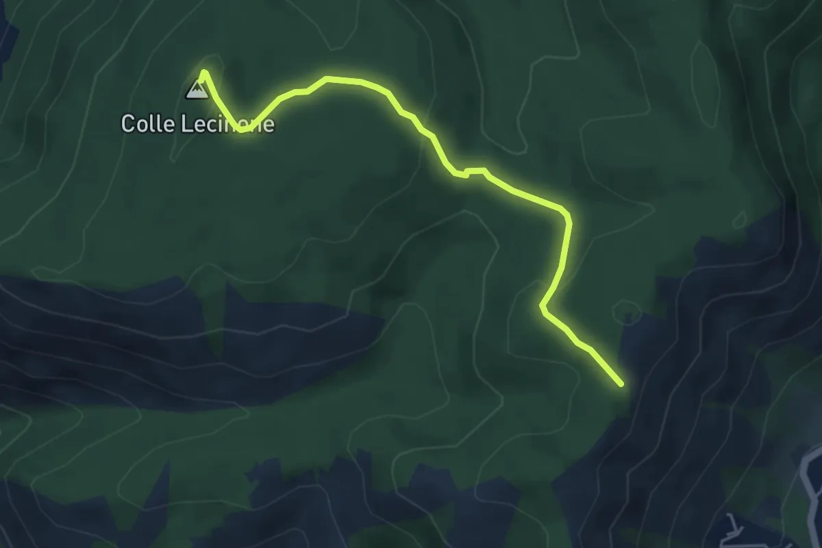
Easy · Summit
Colle Lecinone-Colle dei Travi
4.8 km · ↑ 165 m · 1 h 30 min · 3 km away
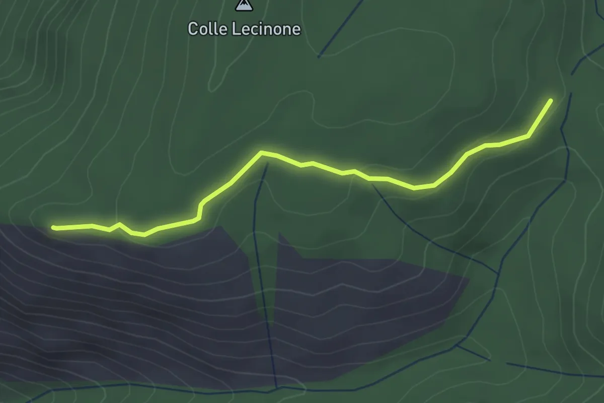
Easy · Summit
Quadrivio-Monte Sterparo
3.4 km · ↑ 82 m · 59 min · 3 km away
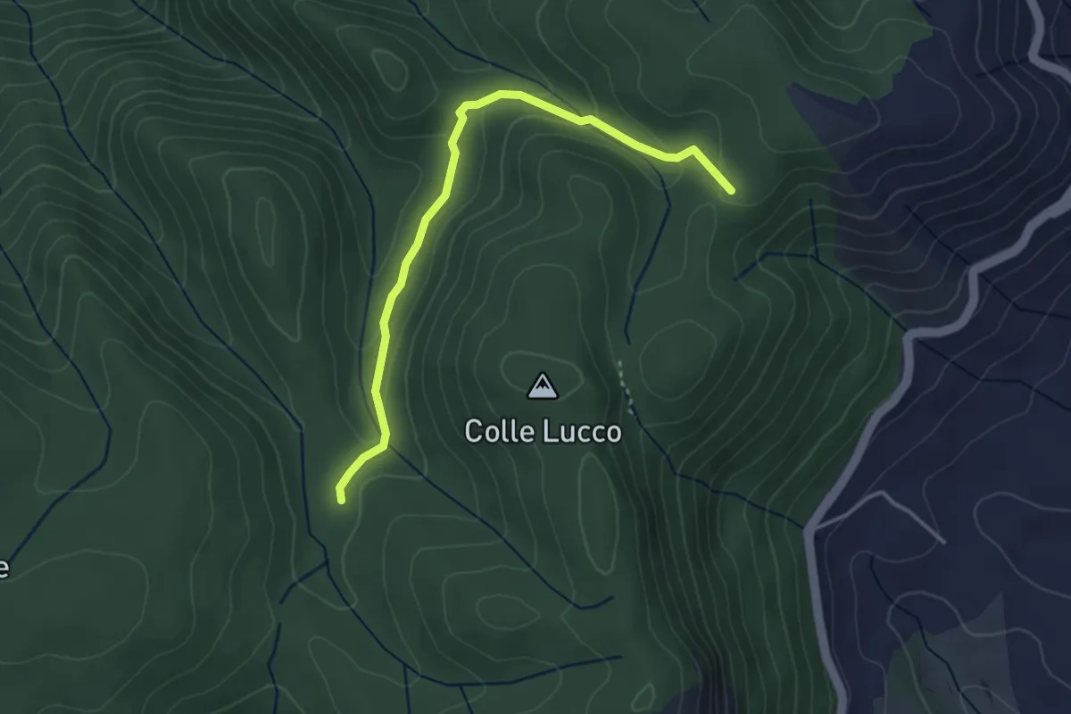
Easy · Cabin
Rifugio Fonte Bologna – Incr. Sentiero 331
3.8 km · ↑ 126 m · 1 h 11 min · 5 km away
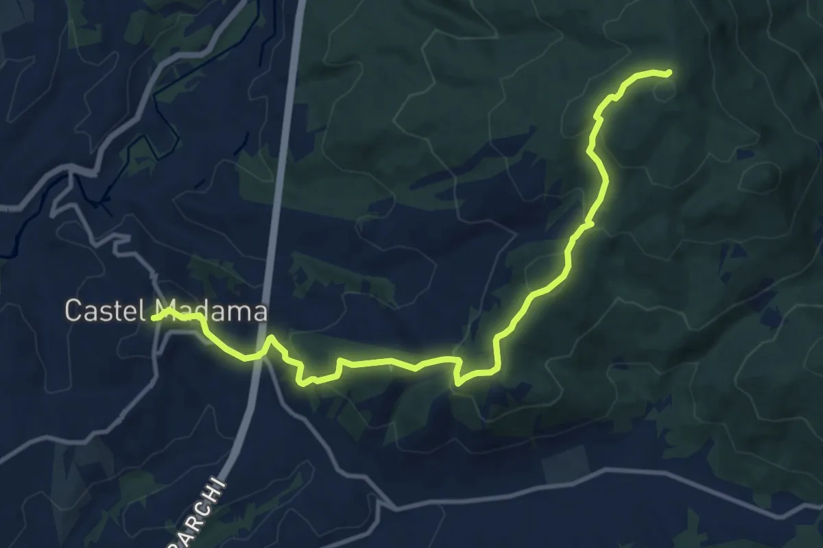
Medium · Summit
Piazza Dante Castel Madama – Colle Cerrito Piano
6.5 km · ↑ 521 m · 2 h 34 min · 6 km away
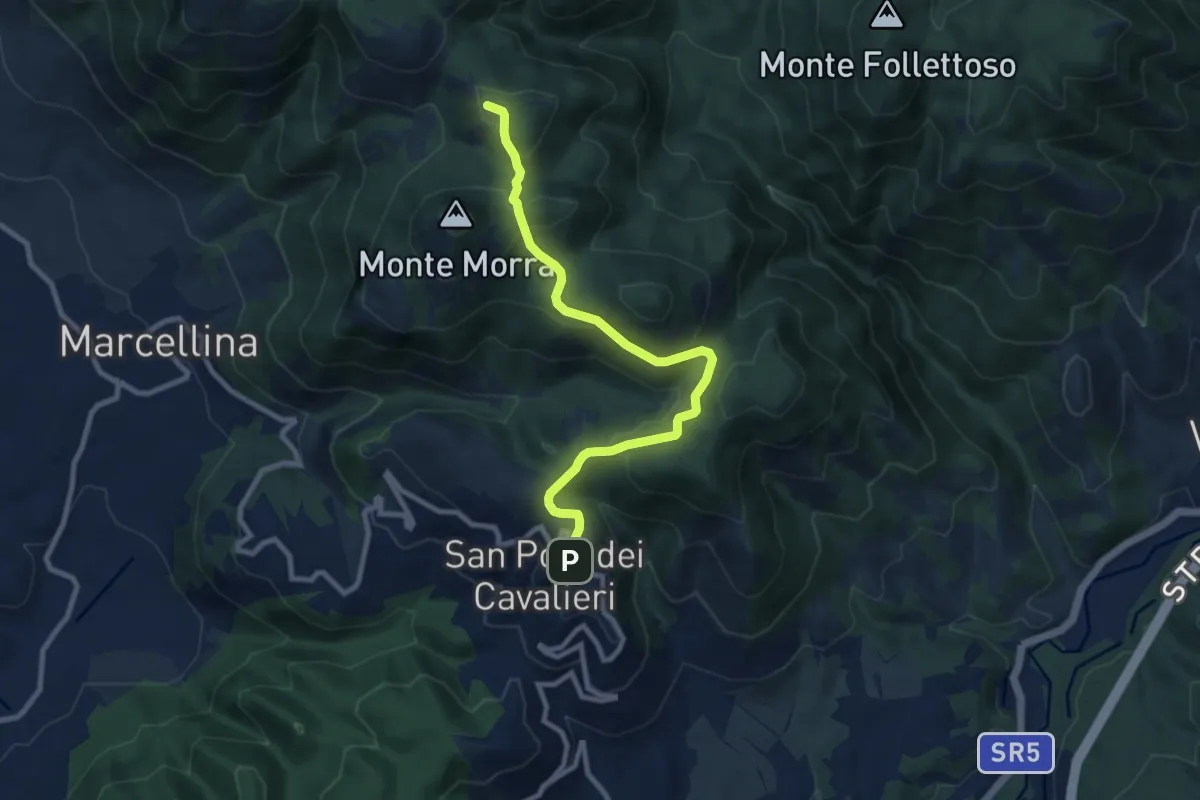
Medium · Summit
San Polo dei Cavalieri – Pratone
10.0 km · ↑ 356 m · 3 h 8 min · 6 km away
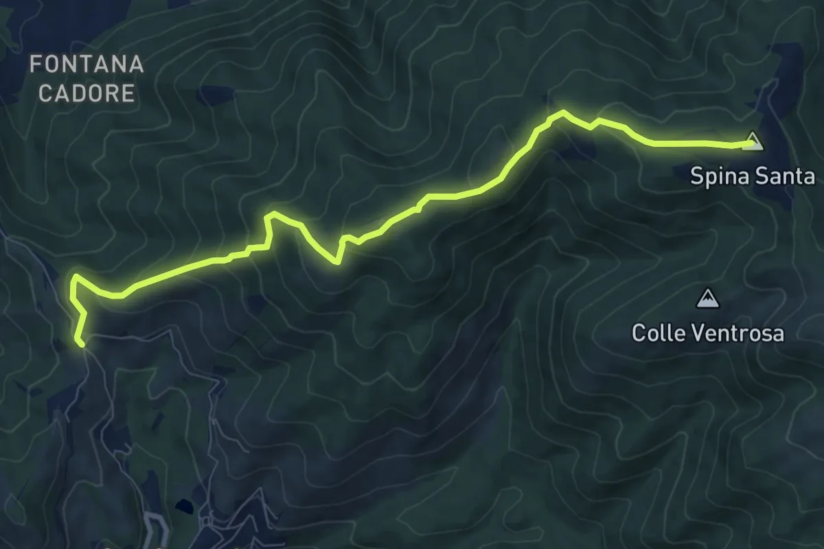
Medium · Summit
Santa Maria Nuova – Spina Santa innesto su sentiero 500
10.5 km · ↑ 587 m · 3 h 45 min · 7 km away
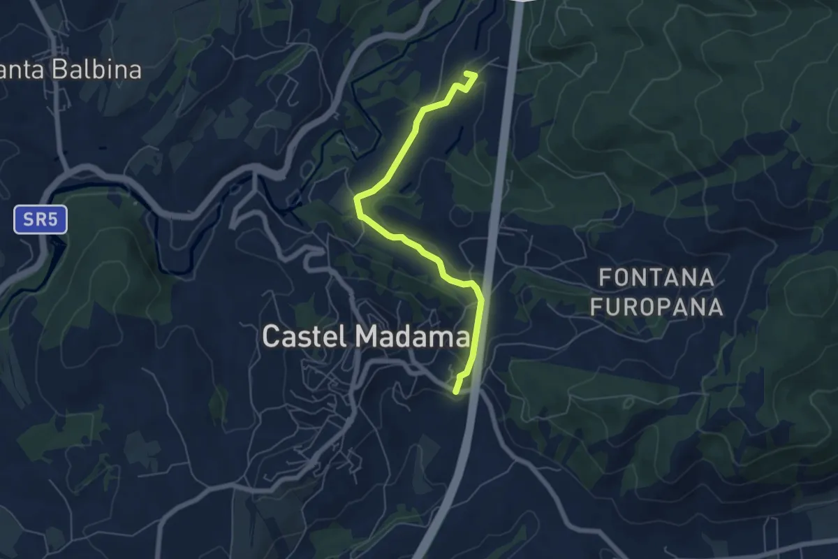
Easy · Summit
Castel Madama-Vicovaro
6.0 km · ↑ 144 m · 1 h 44 min · 7 km away
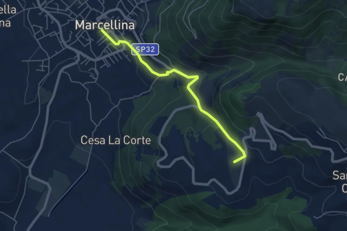
Easy · Summit
Marcellina-San Polo
4.8 km · ↑ 228 m · 1 h 38 min · 7 km away
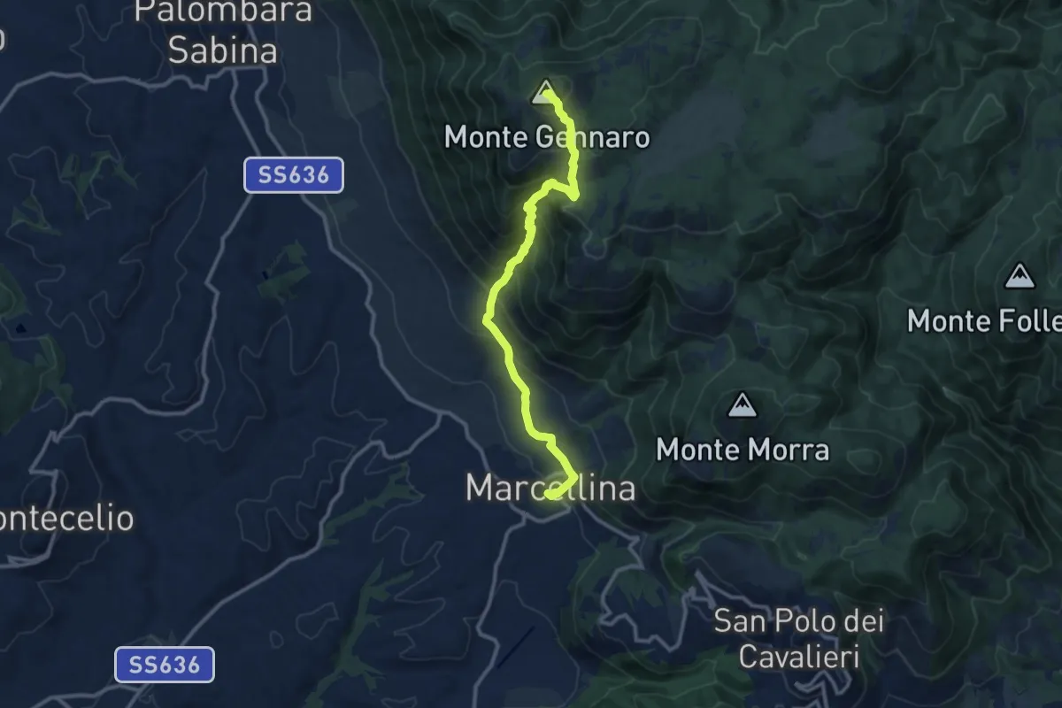
Demanding · Summit
La Scarpellata
11.8 km · ↑ 986 m · 4 h 56 min · 7 km away
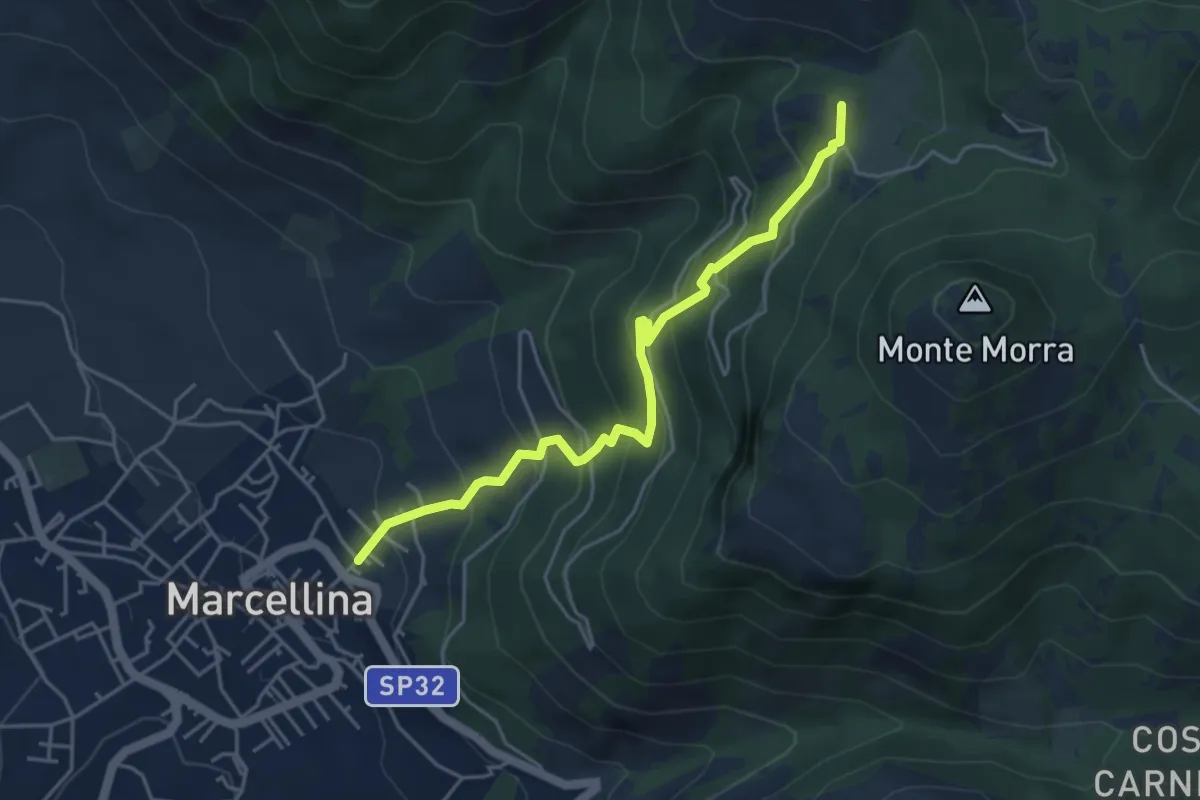
Expert · Summit
Marcellina-Prato Favale
5.0 km · ↑ 488 m · 2 h 14 min · 7 km away
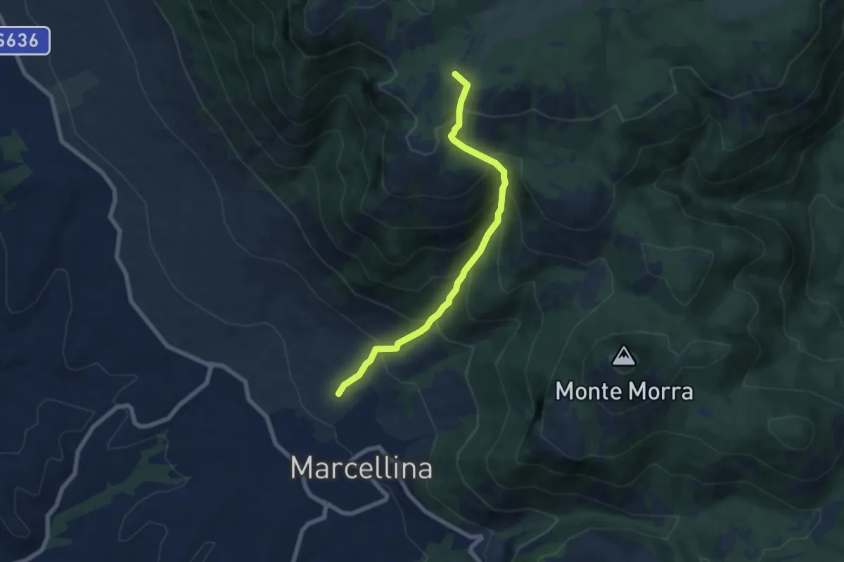
Medium · Summit
La Stretta
6.6 km · ↑ 719 m · 3 h 7 min · 8 km away
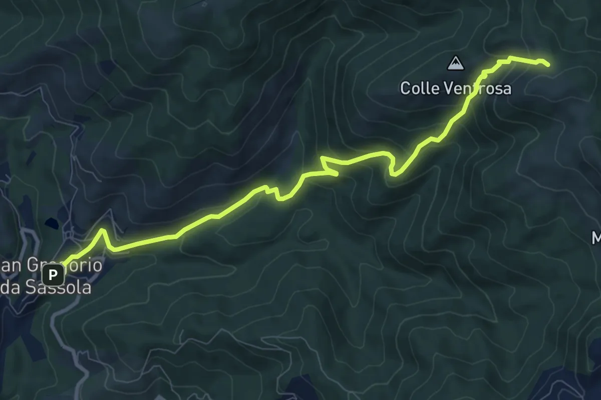
Medium · Trail
San Gregorio da Sassola – Innesto su sentiero 500
10.5 km · ↑ 657 m · 3 h 54 min · 8 km away
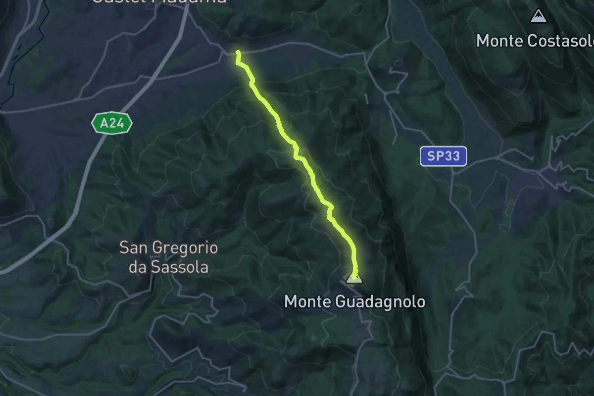
Demanding · Summit
Via Empolitana Km 9.6 – Guadagnolo
14.3 km · ↑ 1020 m · 5 h 35 min · 8 km away
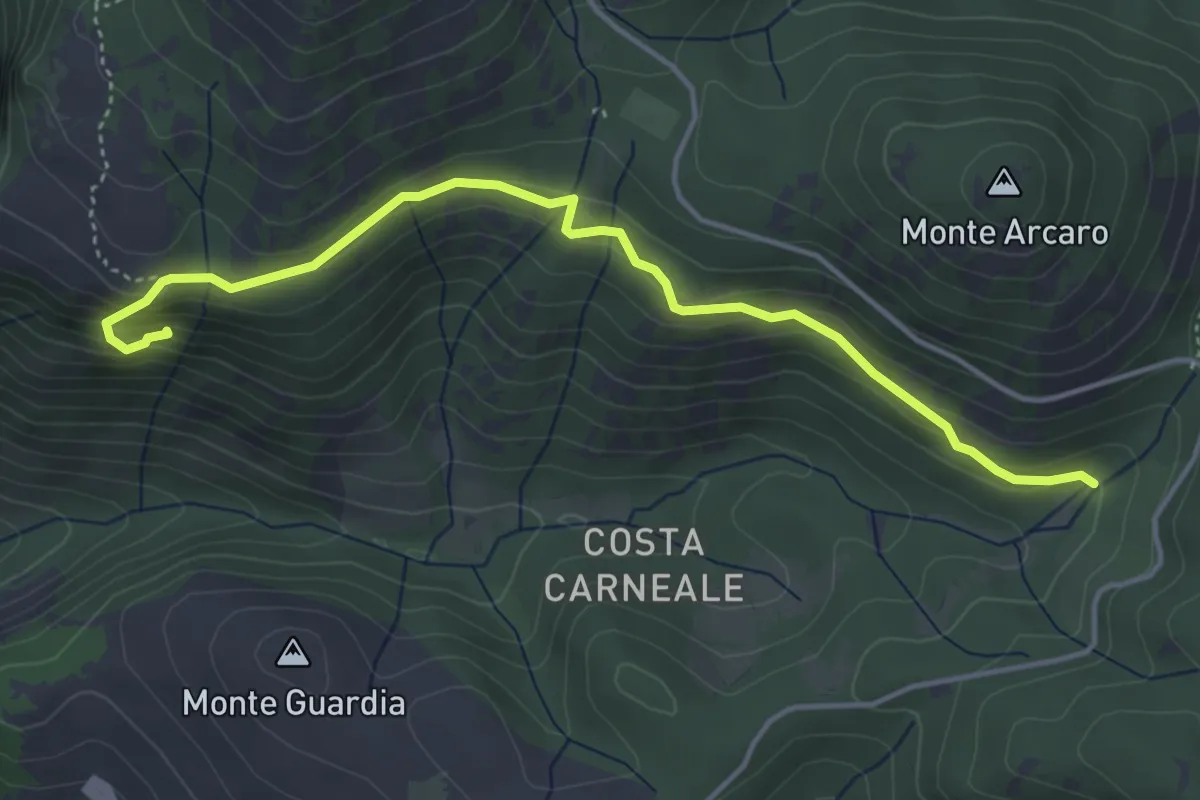
Expert · Trail
I Ghiacci-Conventillo
5.0 km · ↑ 217 m · 1 h 38 min · 8 km away
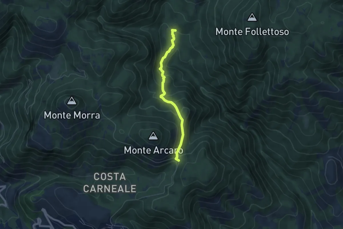
Easy · Trail
Fonte Longarina-Mad. dei Ronci
5.2 km · ↑ 282 m · 1 h 50 min · 8 km away
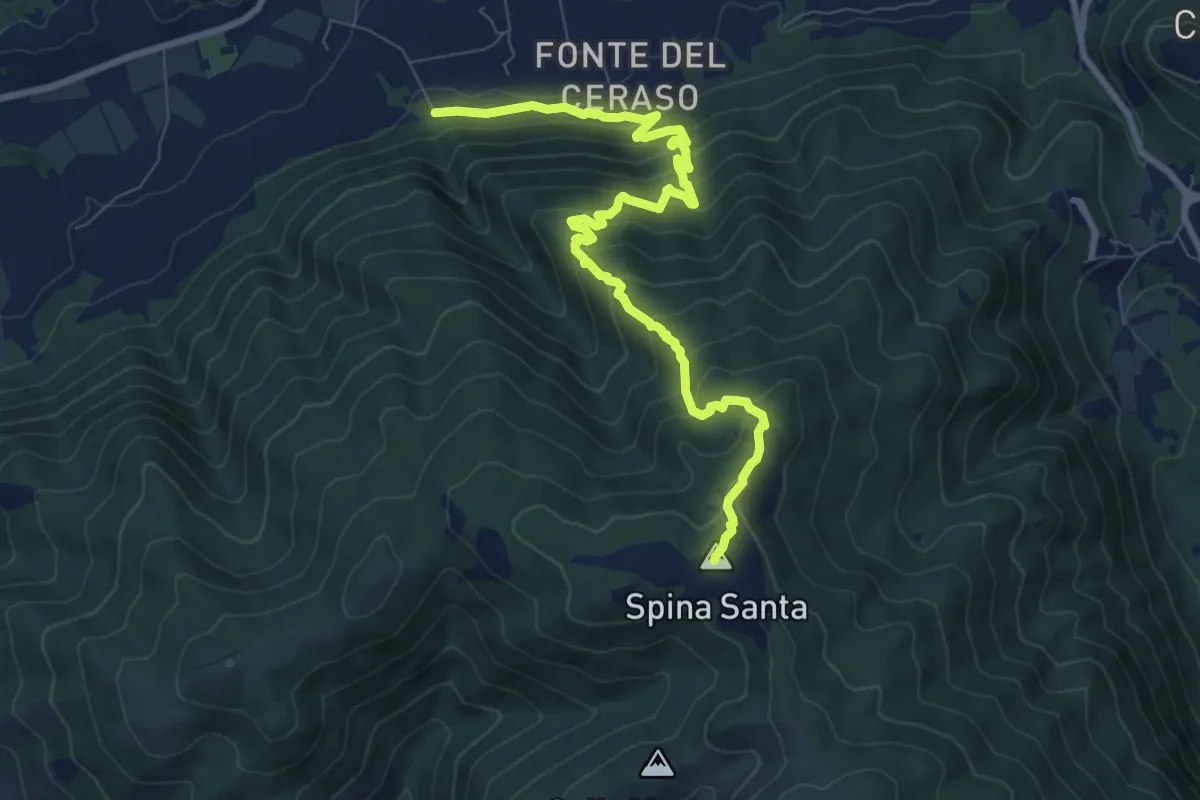
Medium · Summit
Innesto con 500 – Innesto sentiero 500
10.3 km · ↑ 780 m · 4 h 7 min · 8 km away
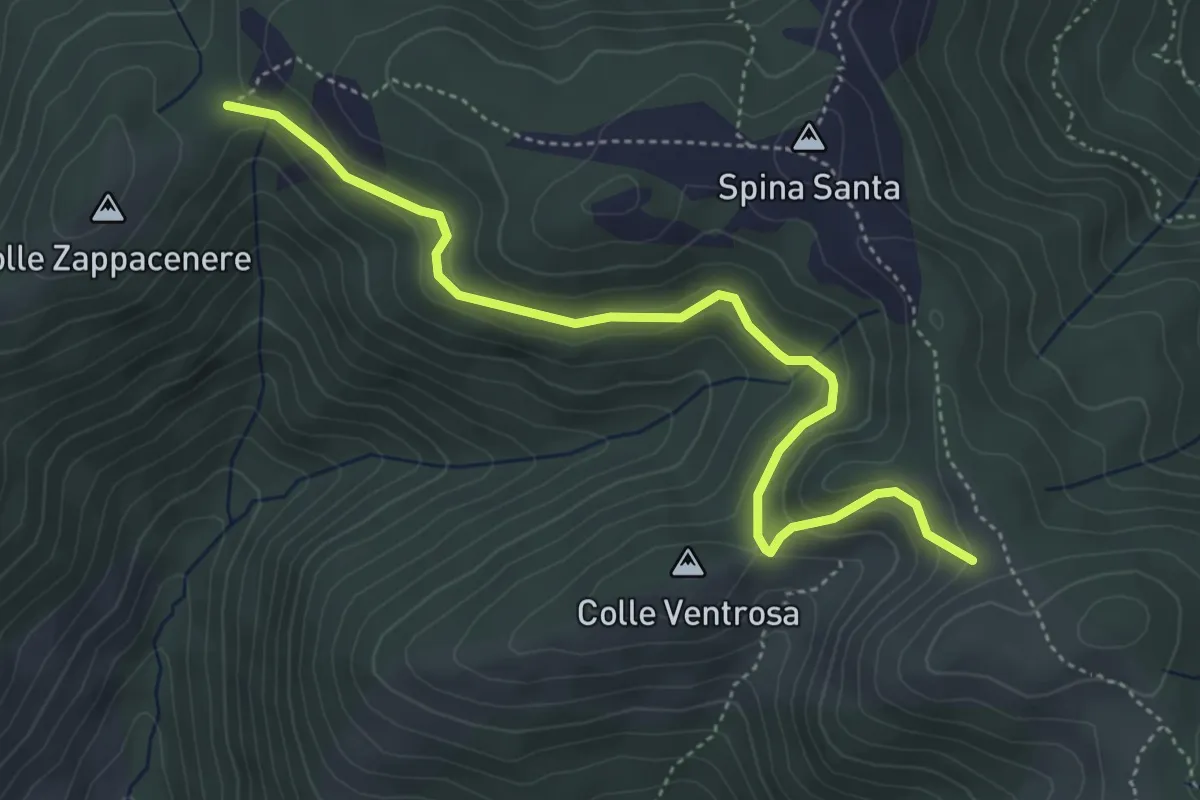
Easy · Trail
Forca Cerella (516) – 517
5.2 km · ↑ 214 m · 1 h 42 min · 8 km away
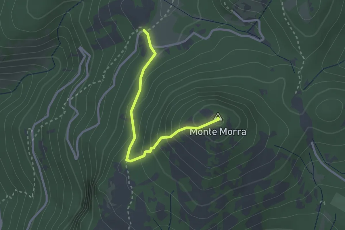
Expert · Summit
Prato Favale-Monte Morra
2.5 km · ↑ 219 m · 1 h 4 min · 9 km away
Easy · Trail
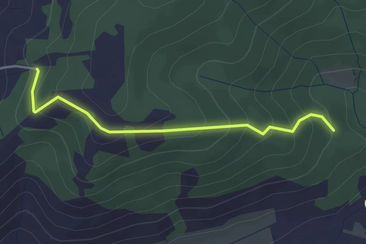
Colle Colubro- Fonte Taccone
3.0 km · ↑ 200 m · 1 h 9 min · 9 km away
Medium · Summit
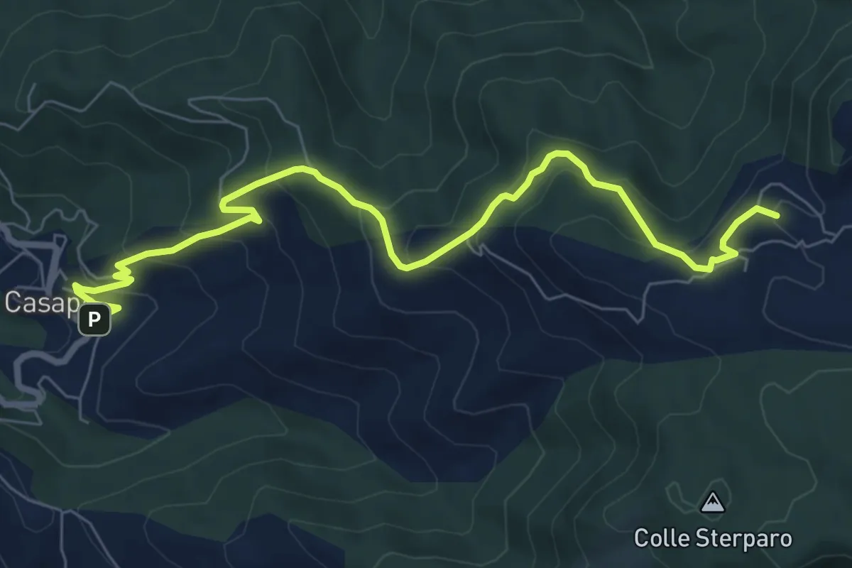
Casape – Guadagnolo
8.8 km · ↑ 548 m · 3 h 16 min · 10 km away
Medium · Trail
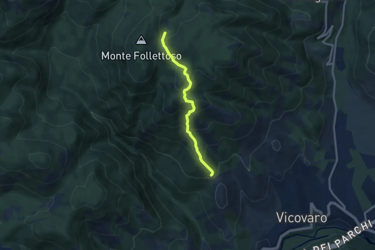
Sent. Anita
5.7 km · ↑ 486 m · 2 h 24 min · 10 km away
Medium · Summit
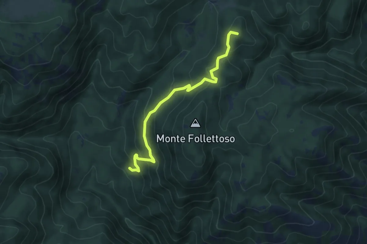
Fonte Fumiccia-Prato delle Forme
6.1 km · ↑ 337 m · 2 h 10 min · 10 km away
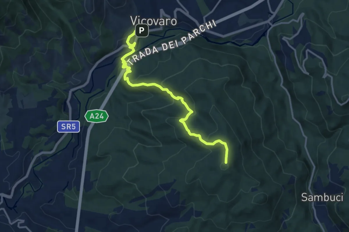
Medium · Summit
Vicovaro, largo Aldo Moro – Colle Cerrito Piano
11.1 km · ↑ 611 m · 3 h 57 min · 10 km away
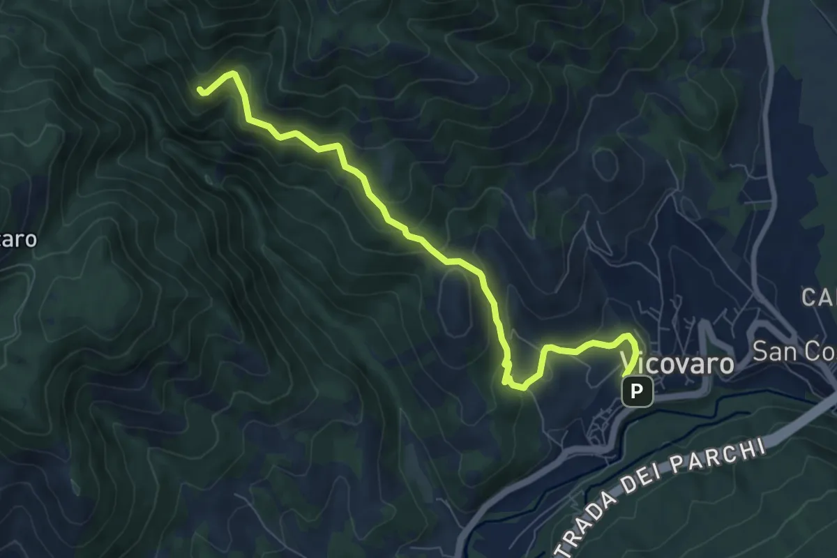
Medium · Trail
Vicovaro - Fosso di S. Martino
8.7 km · ↑ 464 m · 3 h 3 min · 10 km away
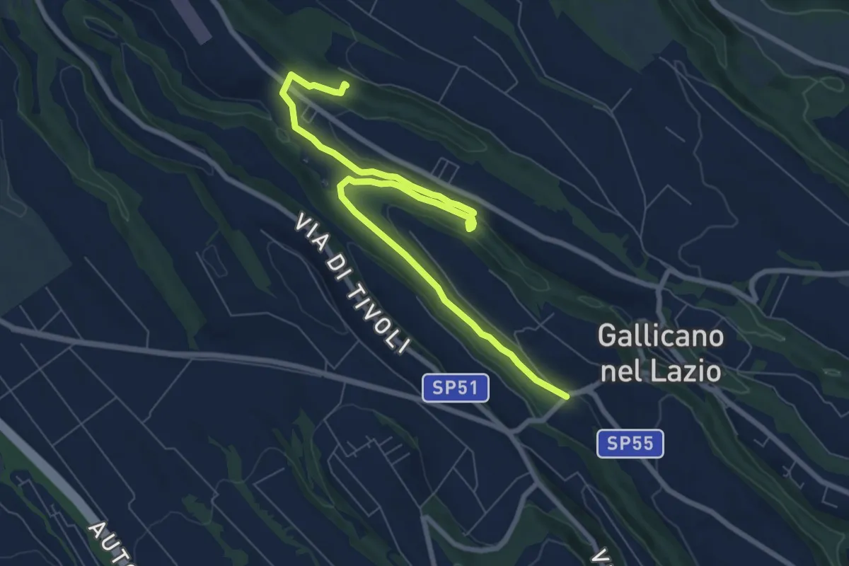
Medium · Trail
Acquedotti di Gallicano
9.7 km · ↑ 137 m · 2 h 35 min · 10 km away
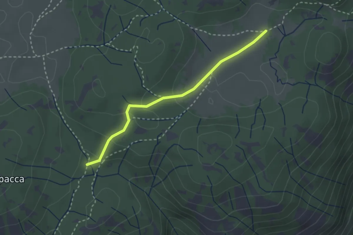
Easy · Trail
Valle Cavalera – Fonte Campitello
2.7 km · ↑ 88 m · 50 min · 10 km away
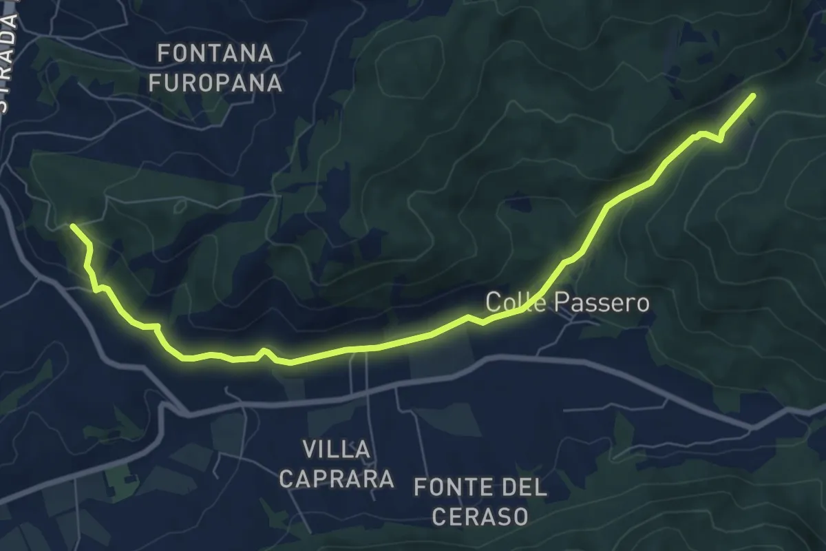
Medium · Trail
Castel Madama Boschetto – incrocio sentiero 518
9.0 km · ↑ 241 m · 2 h 39 min · 11 km away
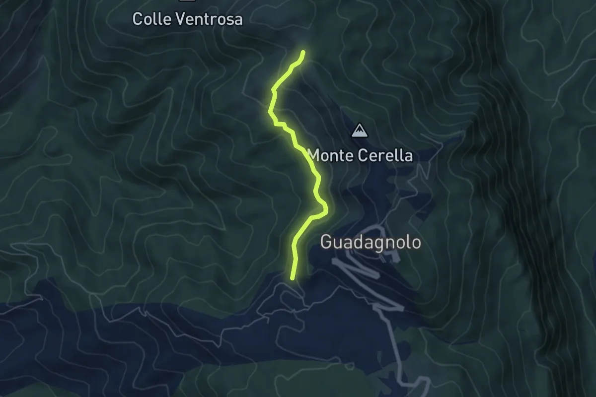
Easy · Trail
500 – 515 in direzione Guadagnolo
4.7 km · ↑ 217 m · 1 h 34 min · 11 km away
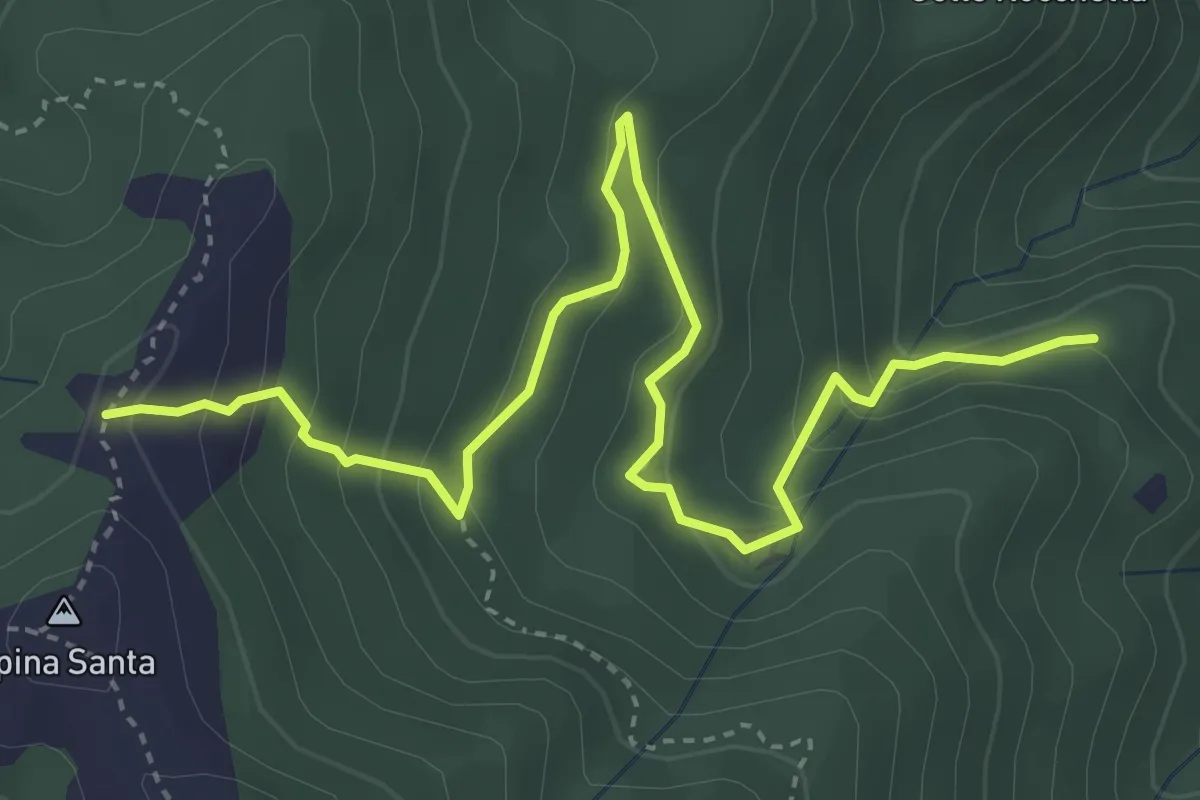
Medium · Trail
501 – 500B
5.2 km · ↑ 338 m · 1 h 58 min · 11 km away
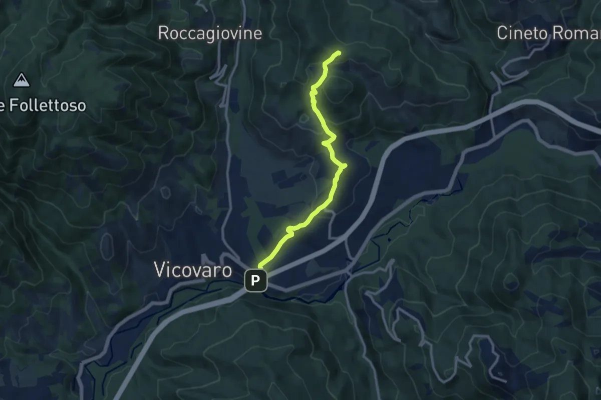
Medium · Summit
San Cosimato – Colle Prioni
9.6 km · ↑ 390 m · 3 h 7 min · 11 km away
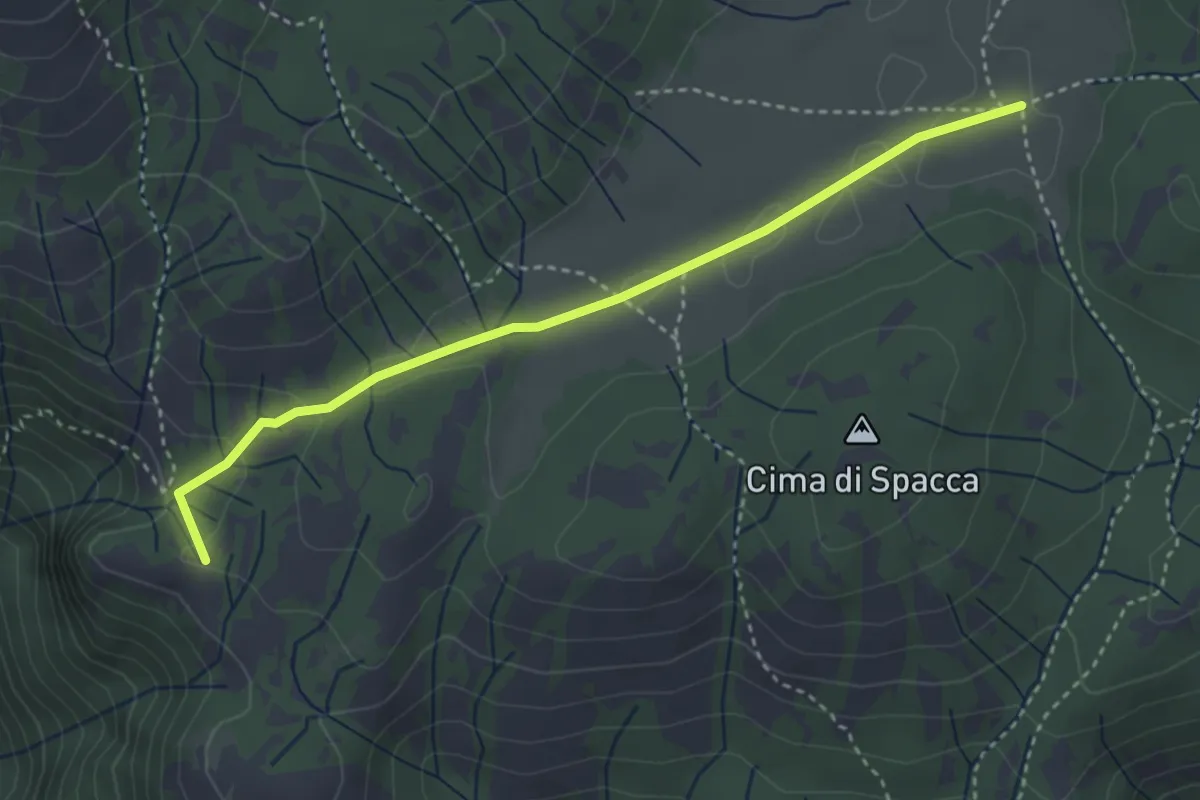
Easy · Summit
La Scalarola Scarpellata-Chiesetta del Pratone
3.8 km · ↑ 58 m · 1 h 1 min · 11 km away
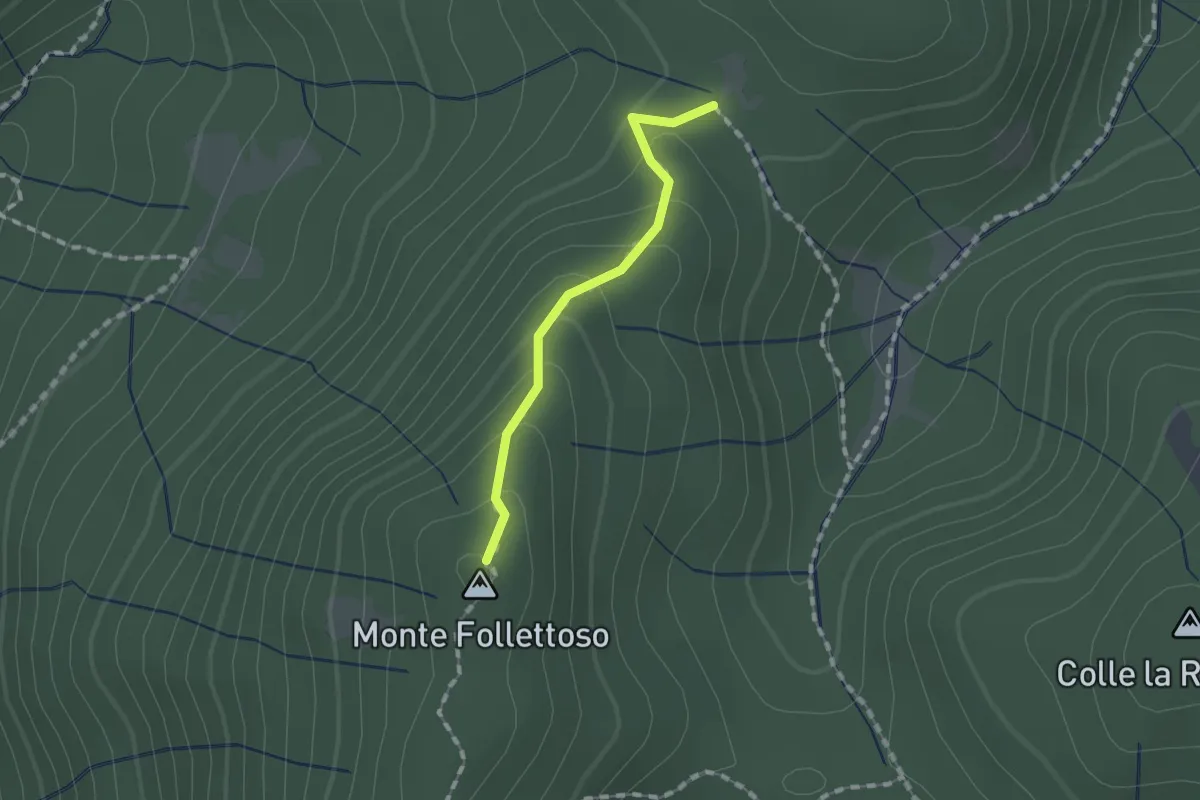
Easy · Summit
Monte Follettoso
1.3 km · ↑ 84 m · 29 min · 11 km away
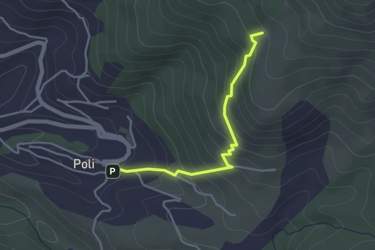
Medium · Summit
Poli – Loc. Le Prata su sent.515
3.1 km · ↑ 283 m · 1 h 21 min · 11 km away
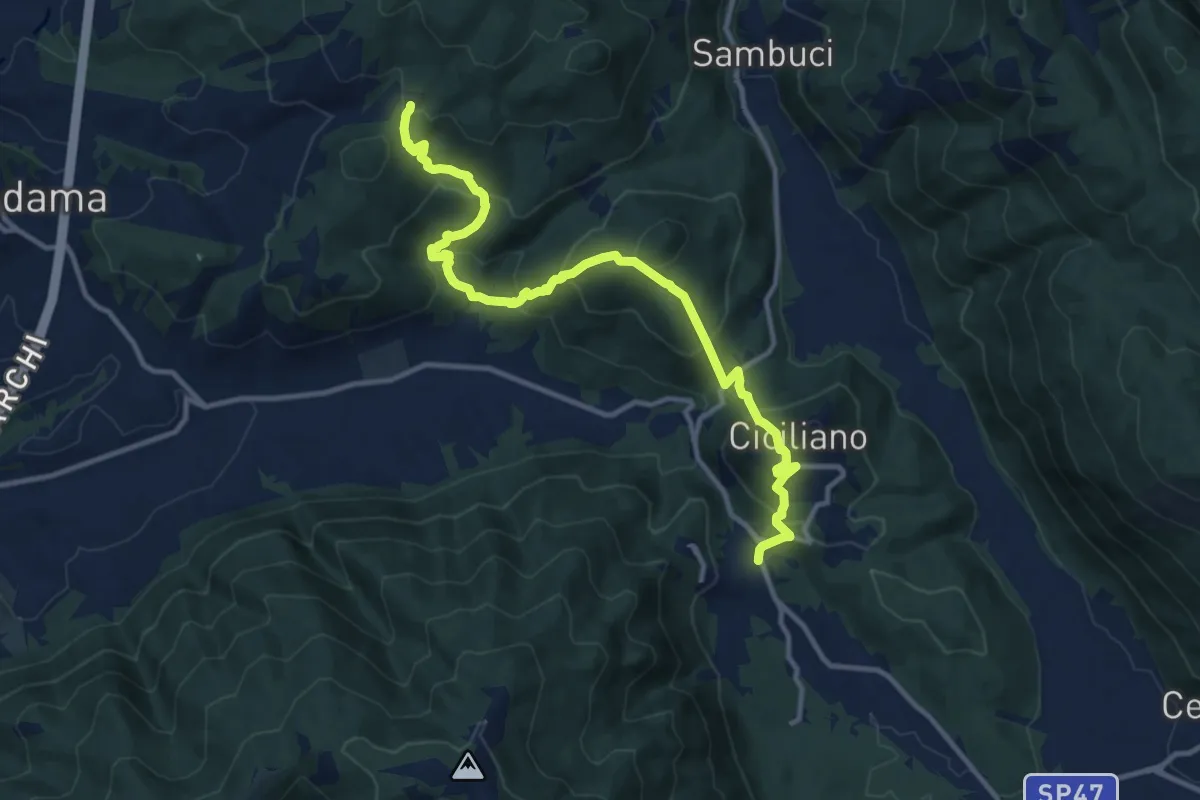
Demanding · Trail
Passo della Fortuna – Torricella
14.1 km · ↑ 955 m · 5 h 24 min · 11 km away
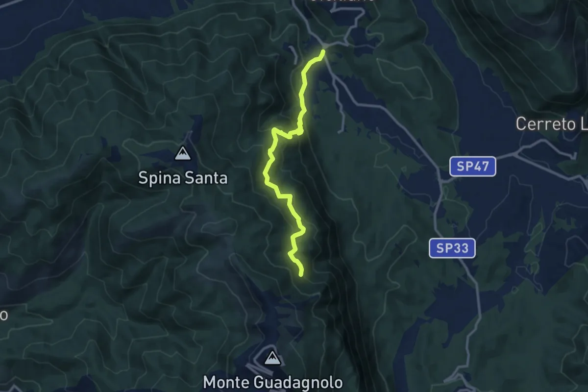
Medium · Trail
Sentiero dei Pellegrini
9.5 km · ↑ 599 m · 3 h 32 min · 11 km away
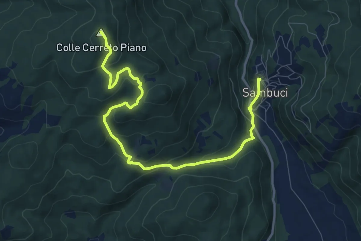
Medium · Summit
Sambuci Piazza Roma – Cerreto Piano
10.5 km · ↑ 477 m · 3 h 31 min · 12 km away
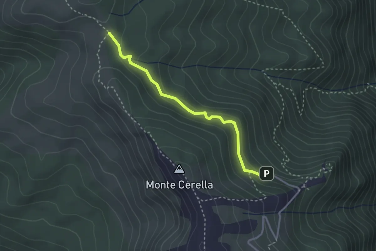
Medium · Trail
Santuario della Mentorella (Parcheggio) – Tre Confini - innesto su sentiero 500
2.9 km · ↑ 114 m · 56 min · 12 km away
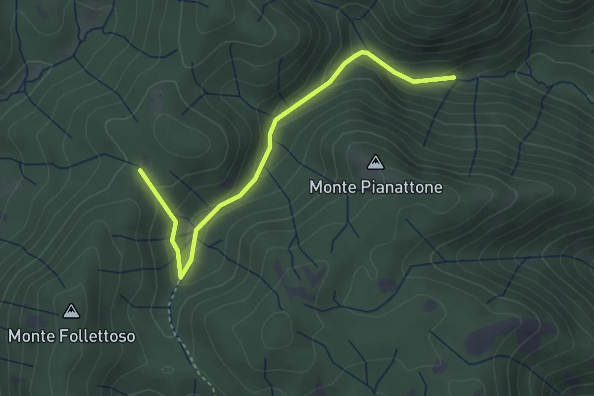
Easy · Trail
Stretta Vallicina
3.6 km · ↑ 167 m · 1 h 13 min · 12 km away
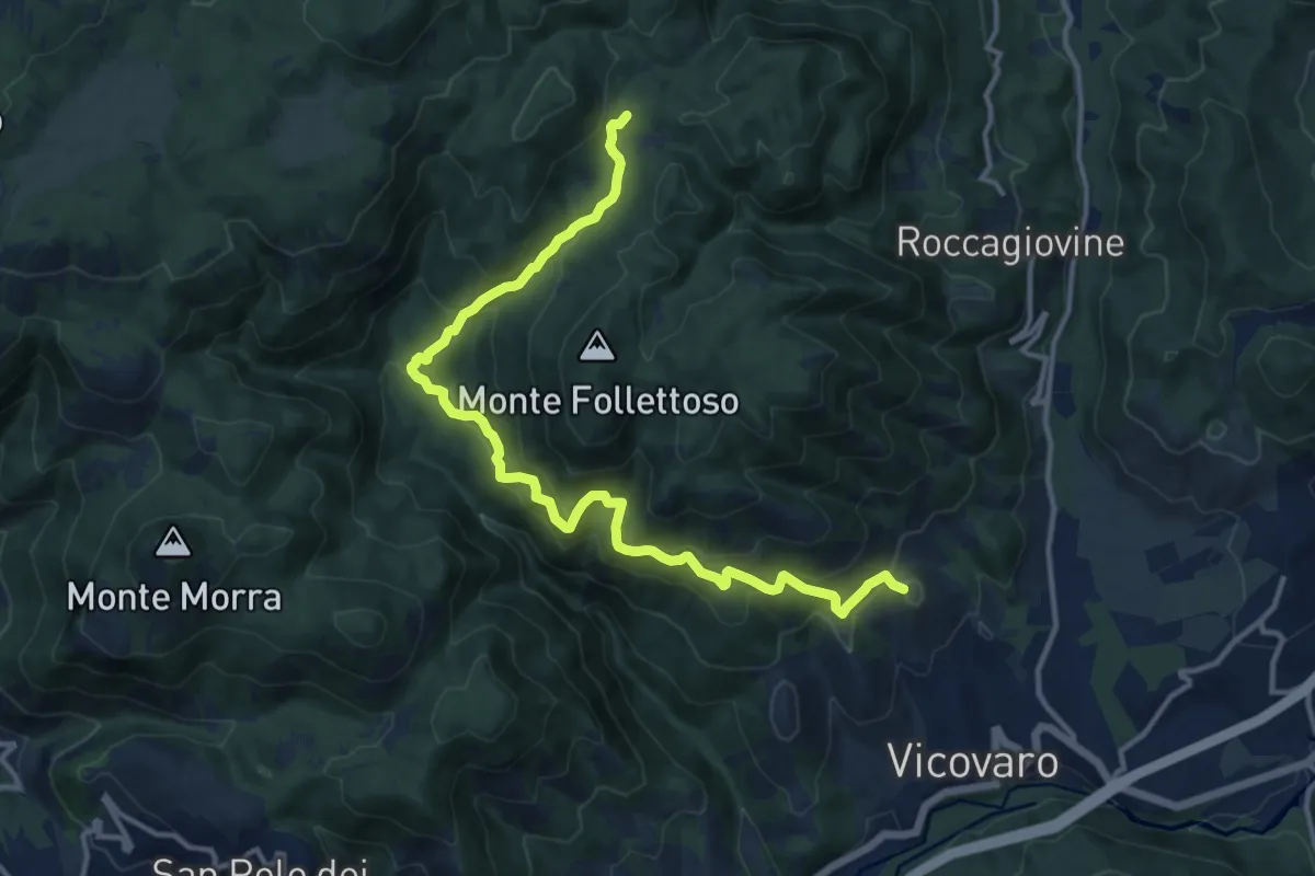
Demanding · Summit
Vicovaro - Mad. dei Ronci - Prato delle Forme
15.4 km · ↑ 864 m · 5 h 30 min · 12 km away
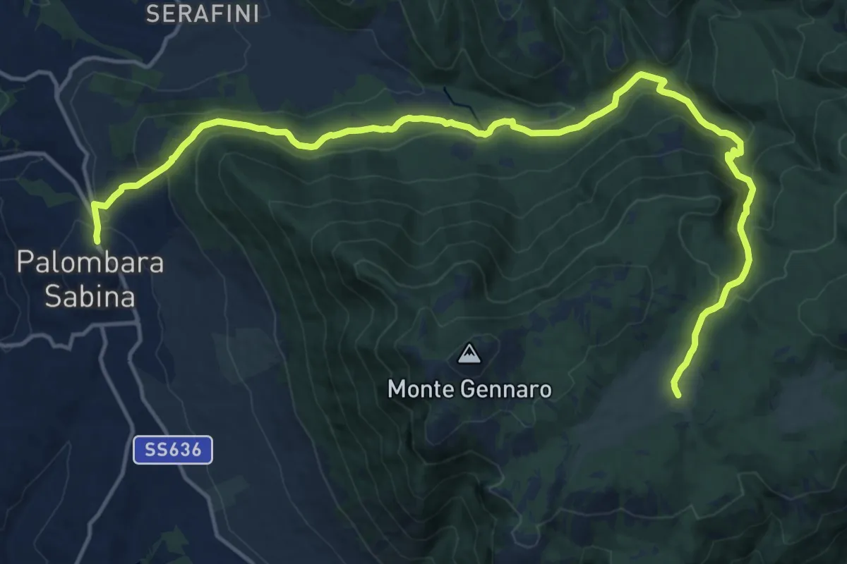
Expert · Cabin
Palombara S.-Pratone
20.0 km · ↑ 881 m · 6 h 38 min · 12 km away
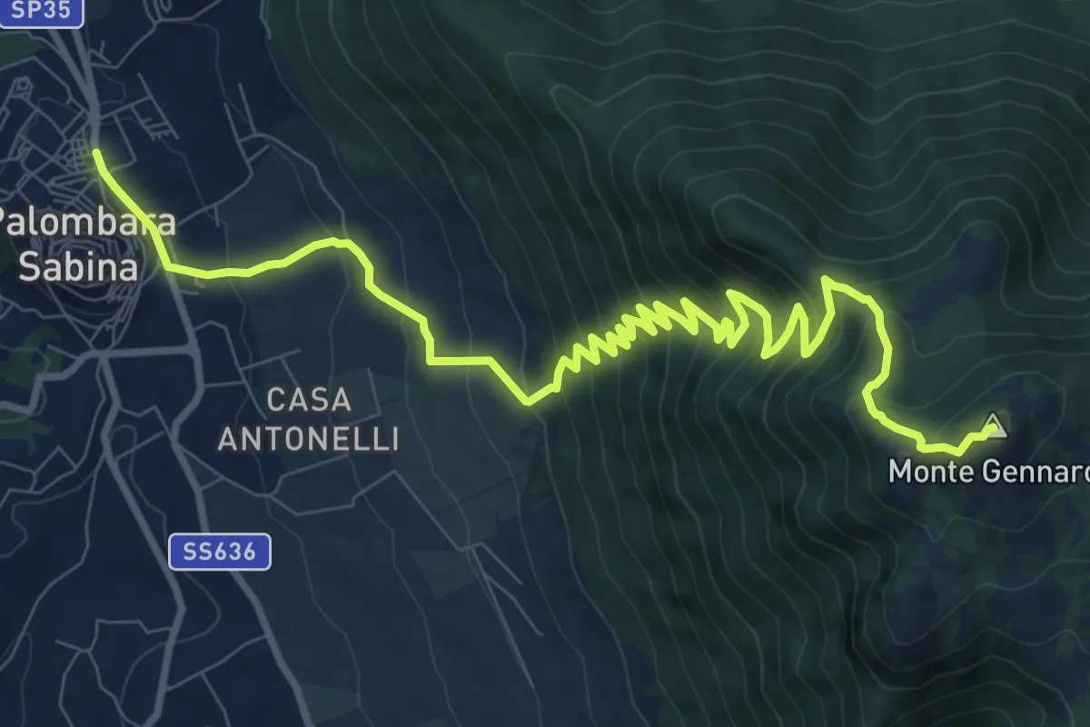
Demanding · Summit
Palombara-Monte Gennaro
13.5 km · ↑ 973 m · 5 h 17 min · 12 km away
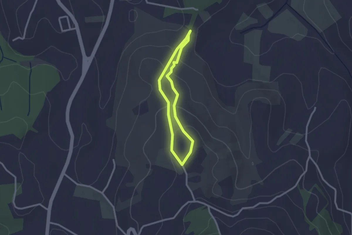
Easy · Trail
Sentiero Celeste
1.9 km · ↑ 91 m · 41 min · 13 km away