Trails near Tivoli
80 hikes starting within 15 km, nearest first.
Nearest first, page 2 of 2
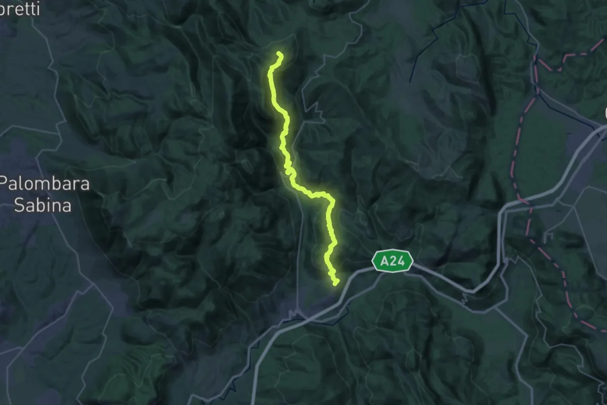
Demanding · Summit
Cammino di San Benedetto - Tappa 09
29.3 km · ↑ 1388 m · 9 h 56 min · 13 km away
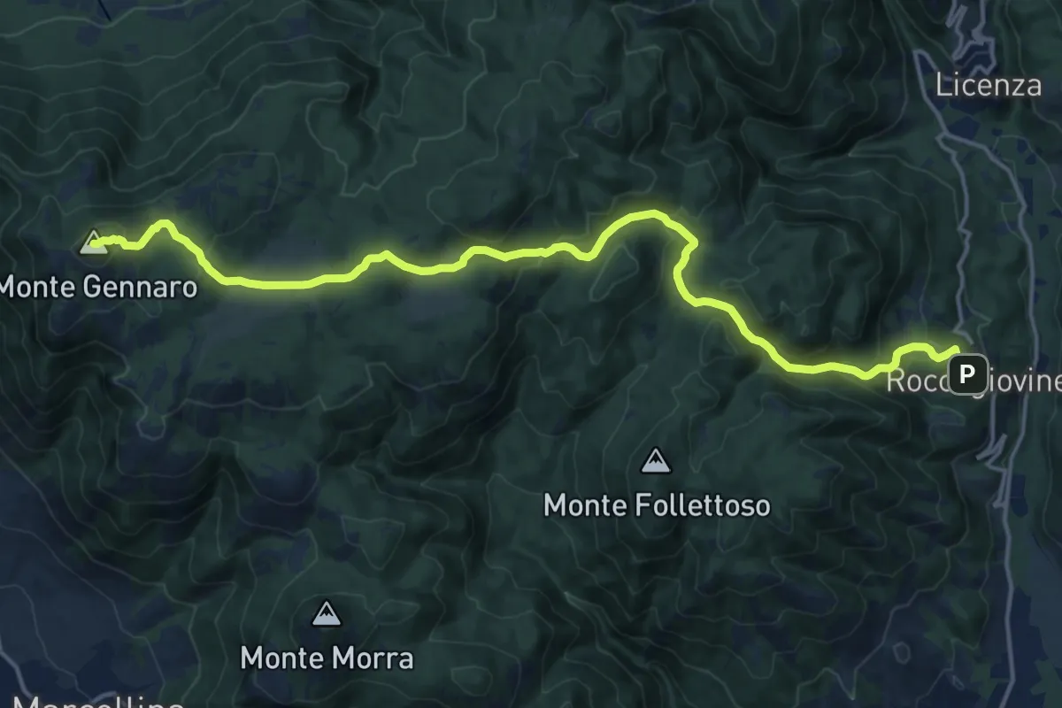
Demanding · Summit
Roccagiovine – Monte Gennaro
19.5 km · ↑ 942 m · 6 h 39 min · 13 km away
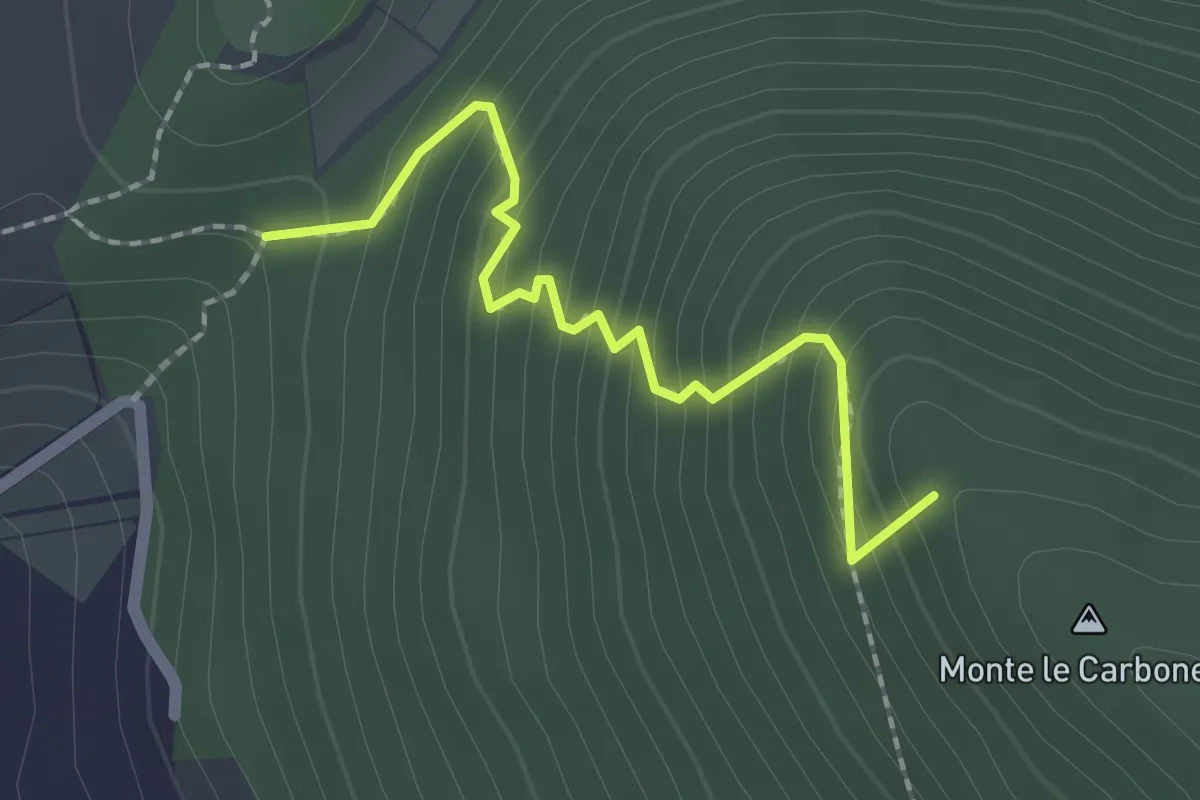
Easy · Summit
S. Nicola-Castiglione
2.1 km · ↑ 217 m · 58 min · 13 km away
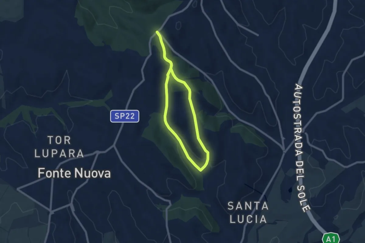
Easy · Trail
Via Nomentana di fronte Welcome Area – Via Nomentana di fronte Welcome Area
5.5 km · ↑ 130 m · 1 h 39 min · 13 km away
Easy · Trail
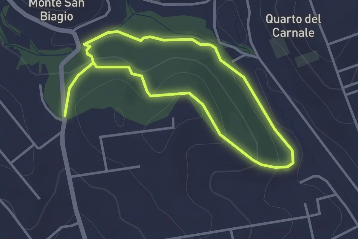
Via S. Lucia incrocio Via Lago di Scanno – Via S. Lucia incrocio Via Lago di Scanno
2.5 km · ↑ 71 m · 47 min · 13 km away
Medium · Trail
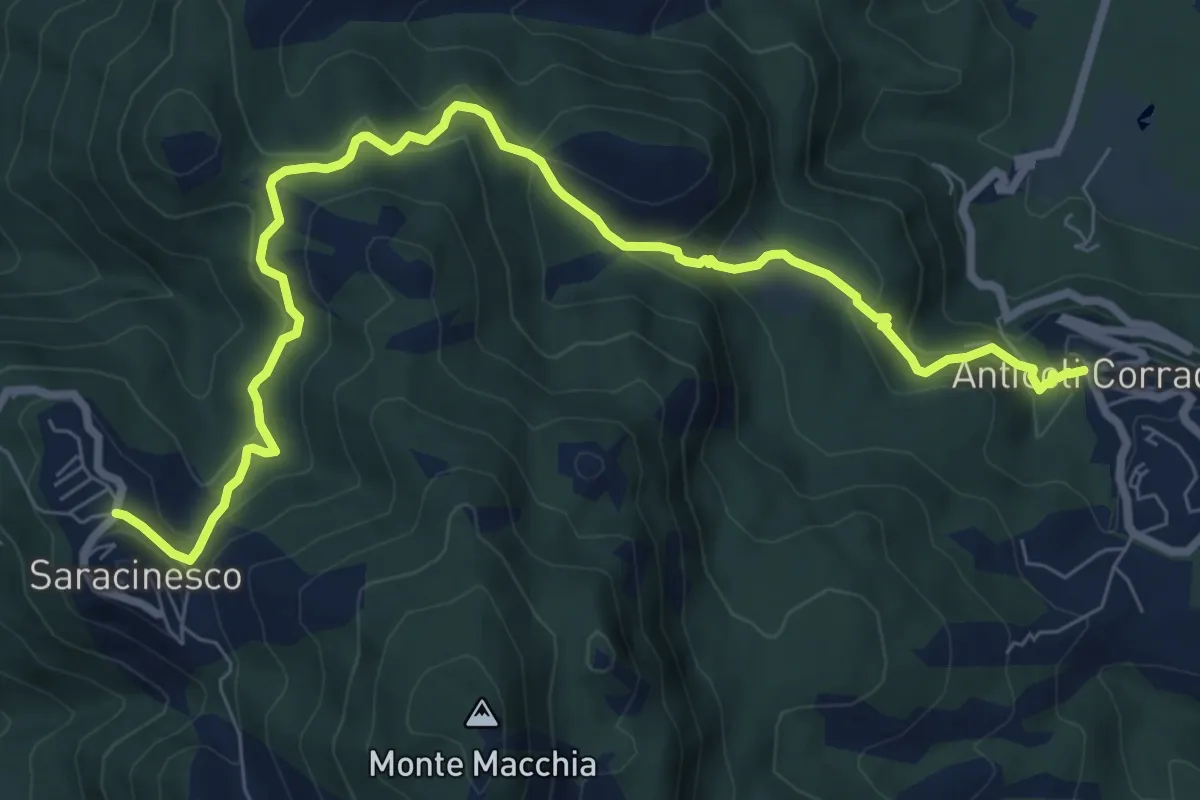
Saracinesco-Anticoli Corrado
10.1 km · ↑ 568 m · 3 h 37 min · 14 km away
Medium · Trail
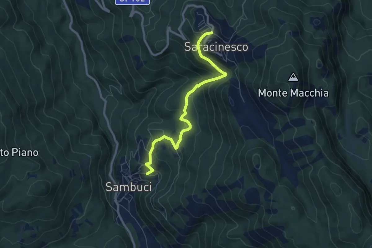
Sanbuci - Saracinesco
7.0 km · ↑ 430 m · 2 h 35 min · 14 km away
Medium · Trail
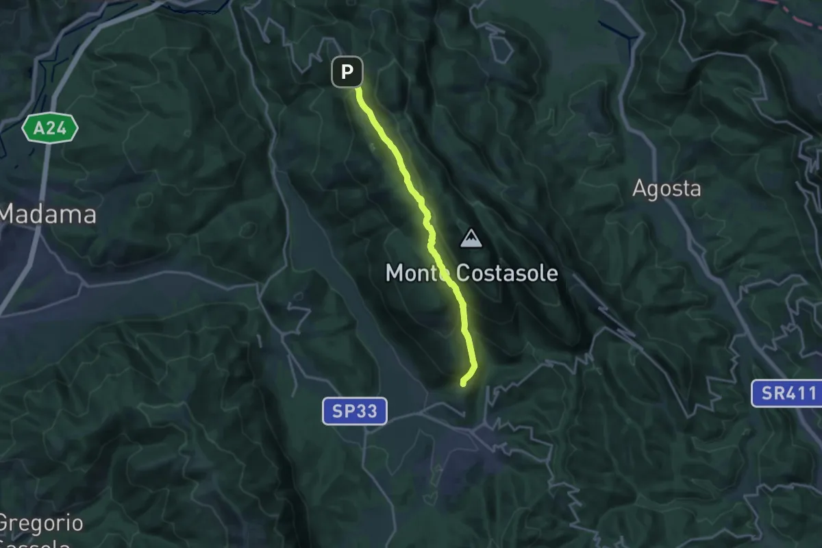
Cerreto Laziale-Saracinesco
15.2 km · ↑ 692 m · 5 h 5 min · 14 km away
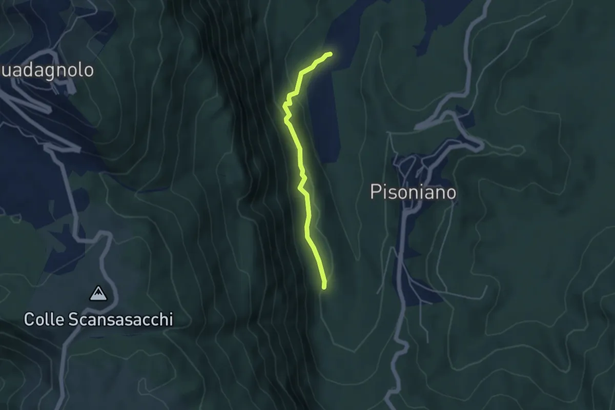
Easy · Trail
Ara di Palazzo – Percorso 505
3.8 km · ↑ 113 m · 1 h 9 min · 14 km away
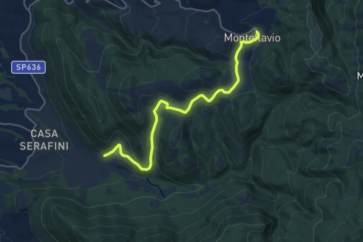
Medium · Trail
Fontanili – Monteflavio
12.6 km · ↑ 499 m · 4 h 3 min · 14 km away
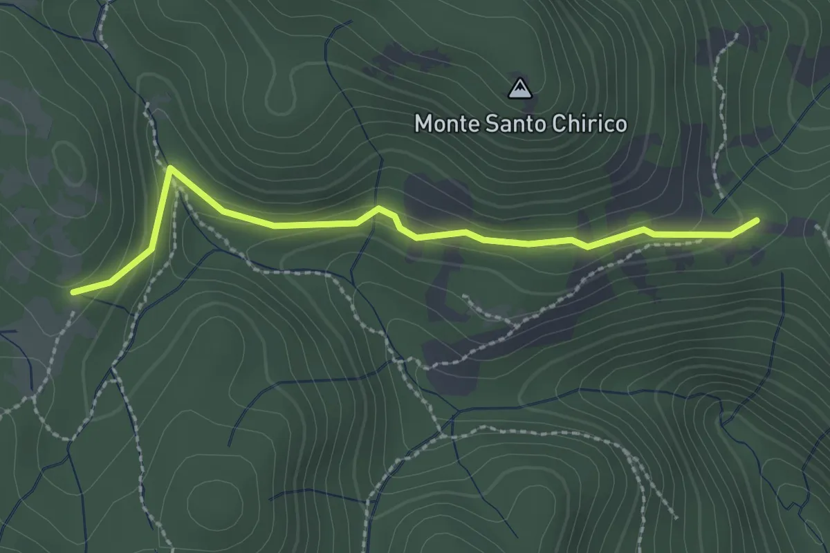
Easy · Trail
Fonte S. Chirico – Casale capo di Porco
2.6 km · ↑ 113 m · 51 min · 14 km away
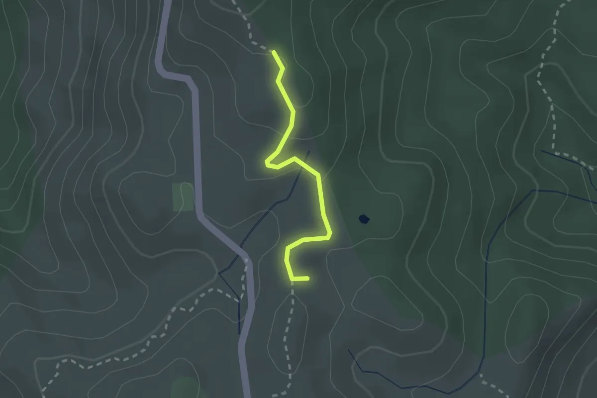
Medium · Summit
LH20 Monti Prenestini
1.9 km · ↑ 54 m · 34 min · 14 km away
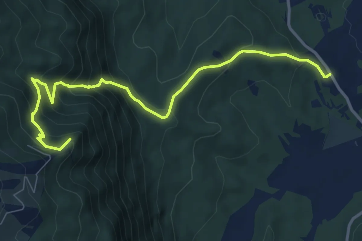
Medium · Summit
Sentiero Carol Woityla
8.1 km · ↑ 615 m · 3 h 14 min · 14 km away
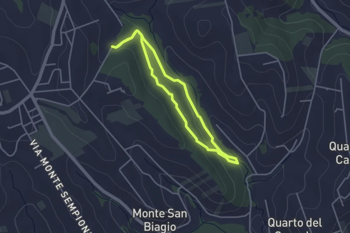
Easy · Trail
Anello Macchia Mancini
2.9 km · ↑ 55 m · 51 min · 14 km away
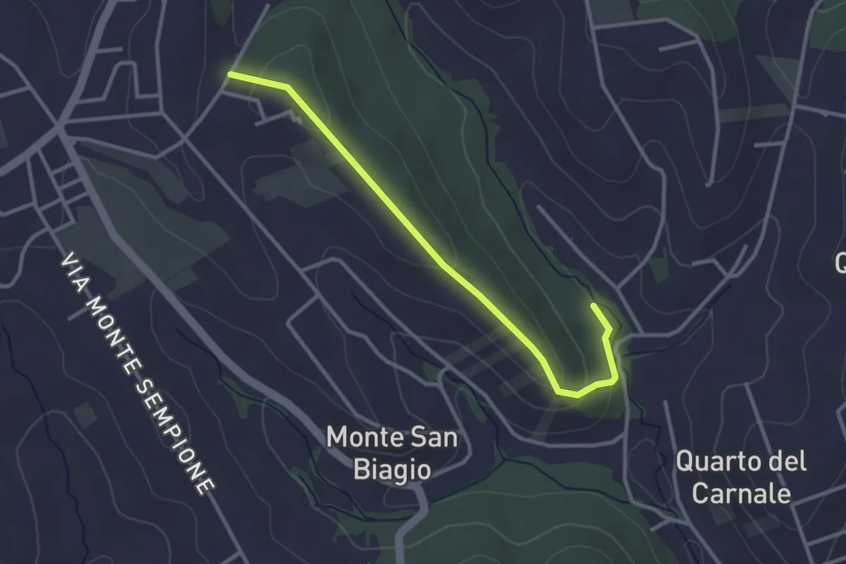
Easy · Trail
Via Alessandro Manzoni (Fontenuova) – Bivio sentiero anello 492
3.3 km · ↑ 82 m · 58 min · 14 km away
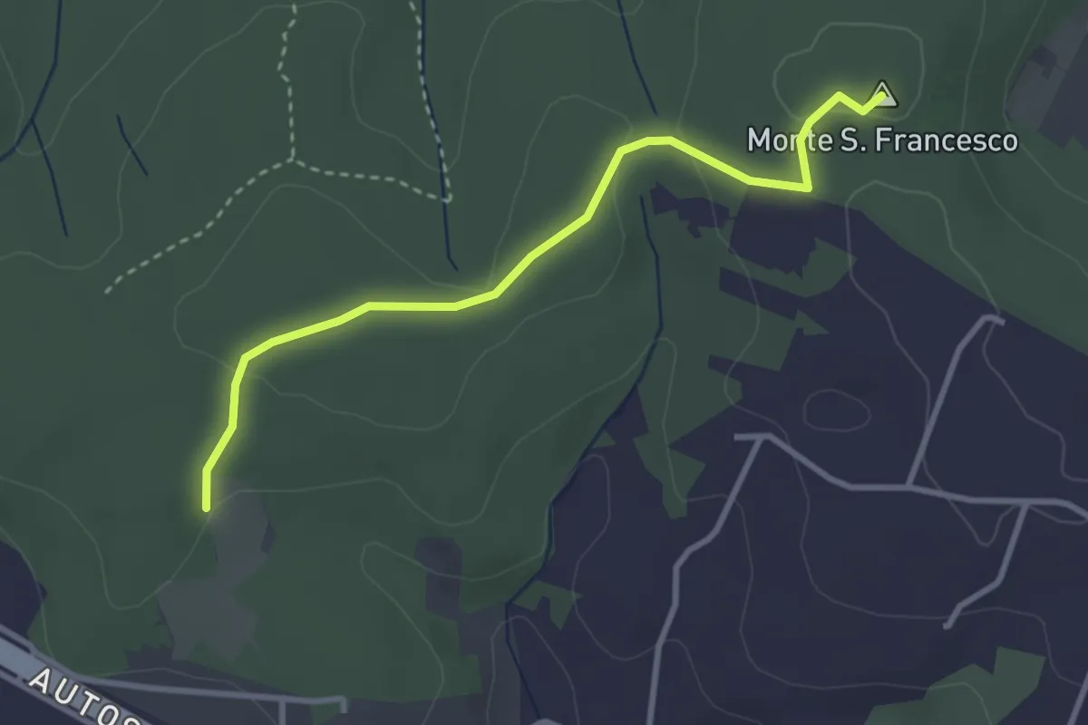
Easy · Summit
Sentiero Giallo
3.4 km · ↑ 57 m · 56 min · 14 km away
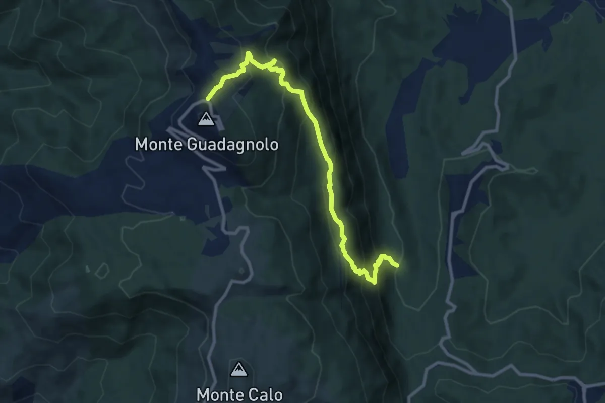
Medium · Trail
Pisoniano – Guadagnolo
8.9 km · ↑ 770 m · 3 h 46 min · 14 km away
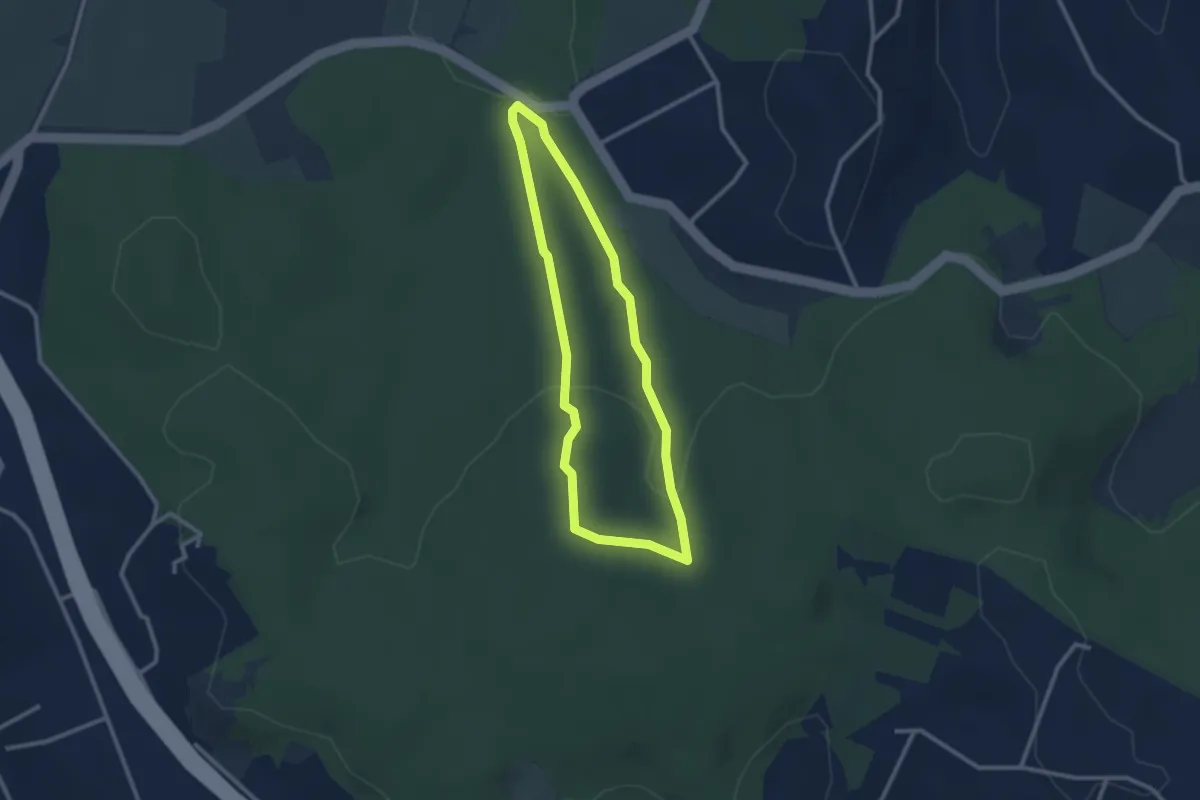
Easy · Trail
Sentiero Rosso (parte 2)
2.6 km · ↑ 73 m · 48 min · 14 km away
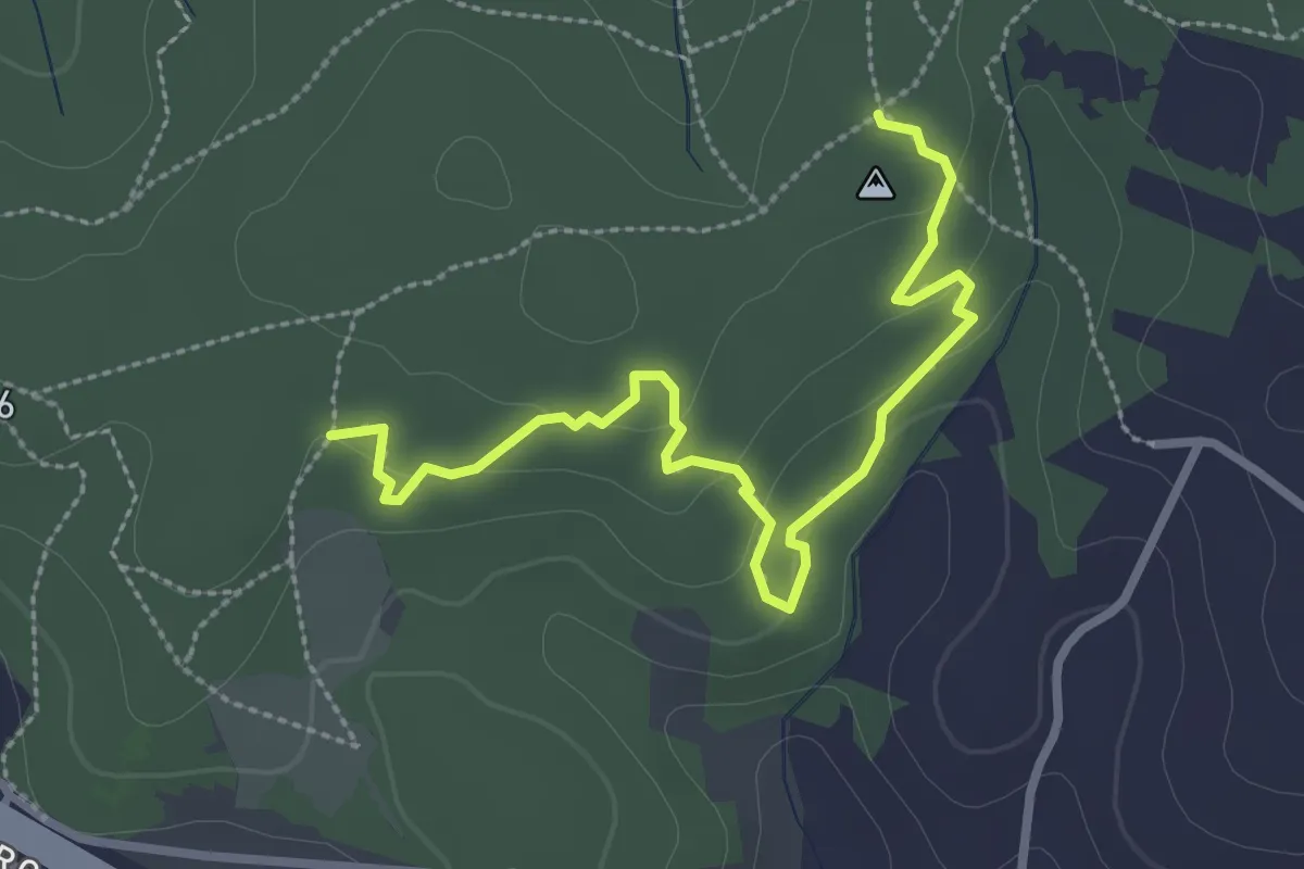
Easy · Trail
Sentiero delle Grotte
3.4 km · ↑ 94 m · 1 h 1 min · 14 km away
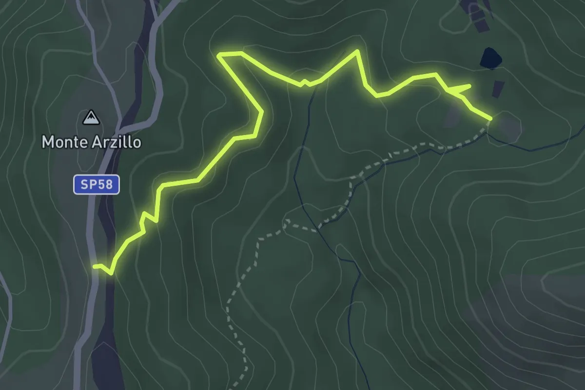
Medium · Trail
SP58a altezza Casale delle Ginestre – Innesto su sentiero 509
4.3 km · ↑ 178 m · 1 h 24 min · 14 km away
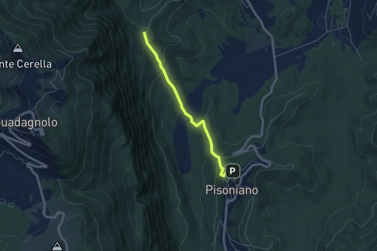
Medium · Trail
Pisoniano – Ara di Palazzo
4.8 km · ↑ 269 m · 1 h 43 min · 14 km away
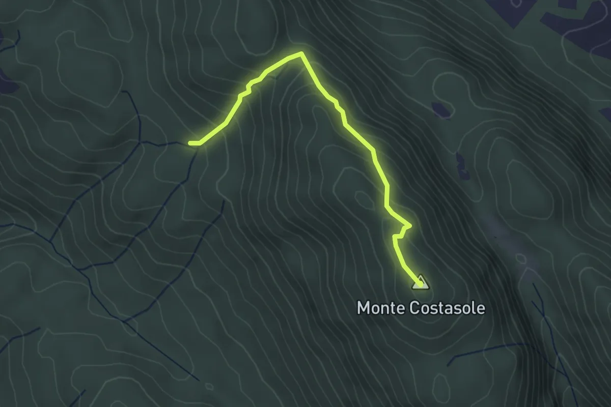
Easy · Summit
Forca Travella - Monte Costasole
3.5 km · ↑ 266 m · 1 h 24 min · 15 km away
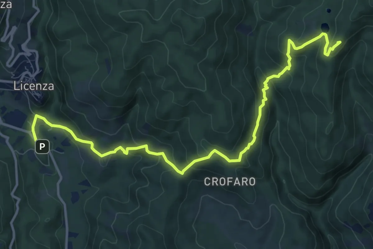
Medium · Summit
Via dei Lupi - Tappa 03
12.4 km · ↑ 625 m · 4 h 17 min · 15 km away
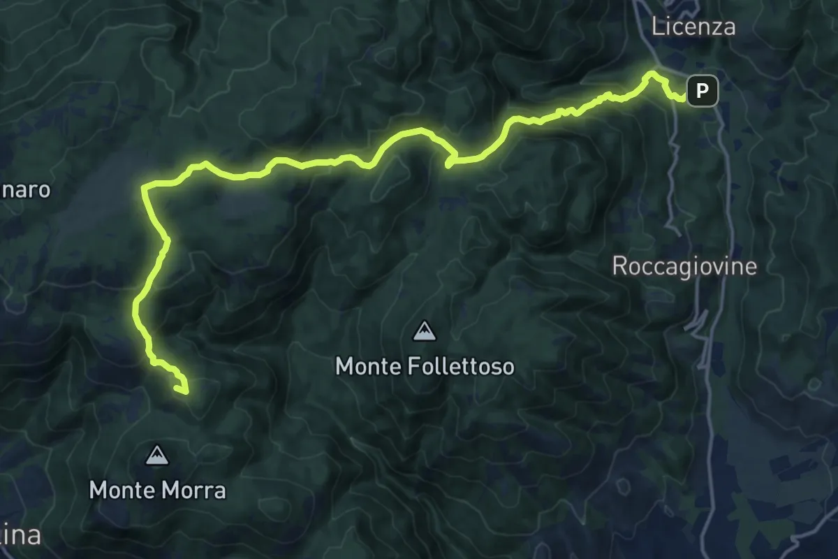
Expert · Summit
Via dei Lupi - Tappa 02
20.7 km · ↑ 1066 m · 7 h 12 min · 15 km away
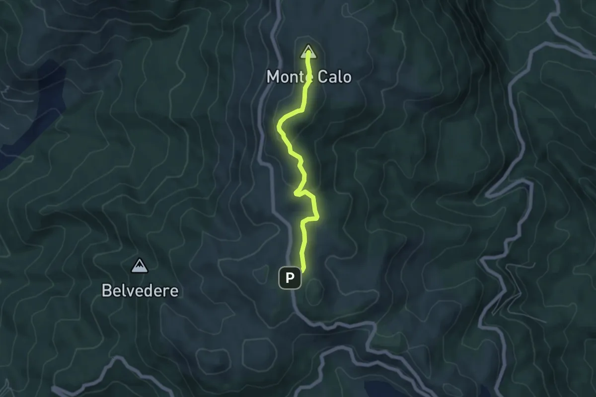
Medium · Summit
strada SP45b coordinate UTM 33T E328284 N4637831 – Monte Calo
4.8 km · ↑ 143 m · 1 h 27 min · 15 km away
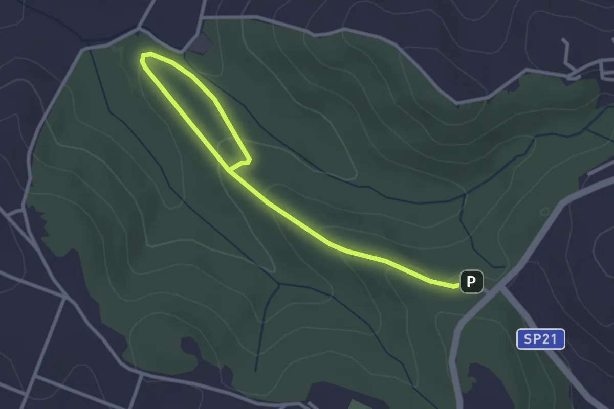
Easy · Trail
491 Sentiero di Collelungo
3.7 km · ↑ 131 m · 1 h 9 min · 15 km away
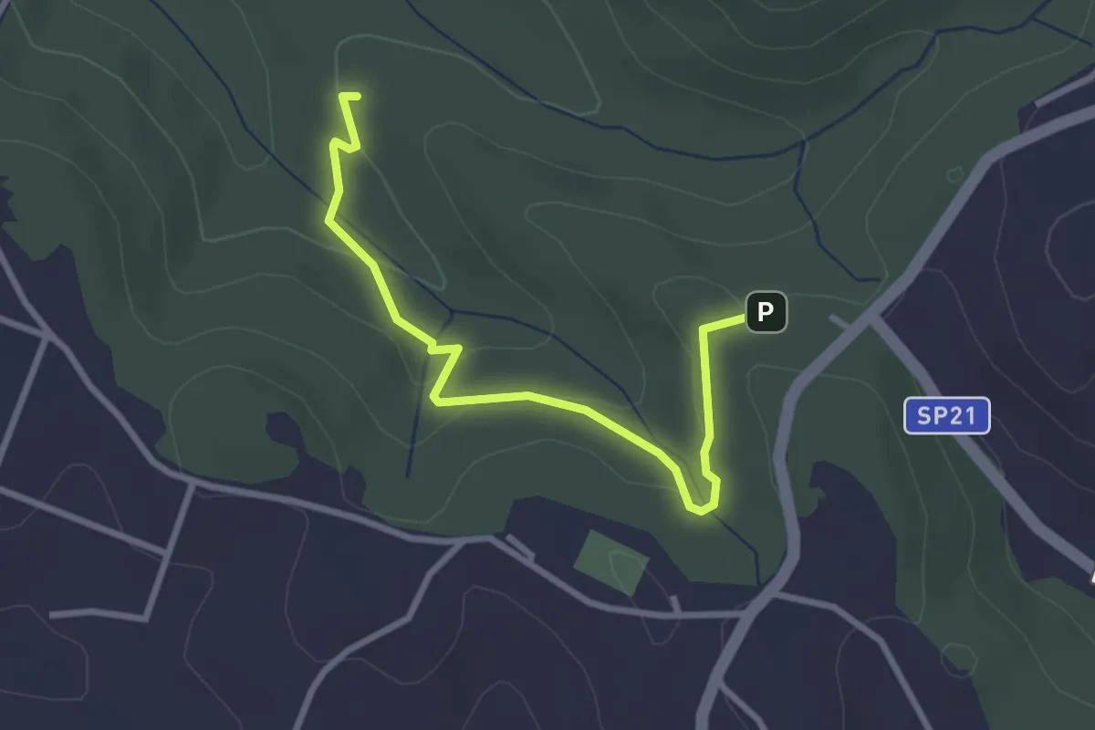
Easy · Trail
Incrocio sentiero 491 vicino ingresso Riserva – Fontanile di Collelungo
3.3 km · ↑ 96 m · 59 min · 15 km away
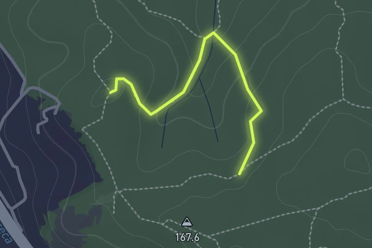
Easy · Trail
Bivio sentiero 439 – Bivio sentiero 438
2.2 km · ↑ 73 m · 40 min · 15 km away
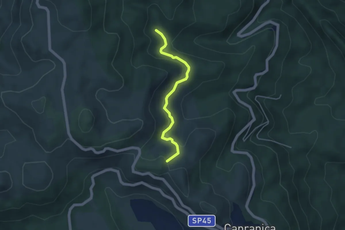
Easy · Summit
Sentiero Natura Mola Bossi
3.6 km · ↑ 169 m · 1 h 13 min · 15 km away
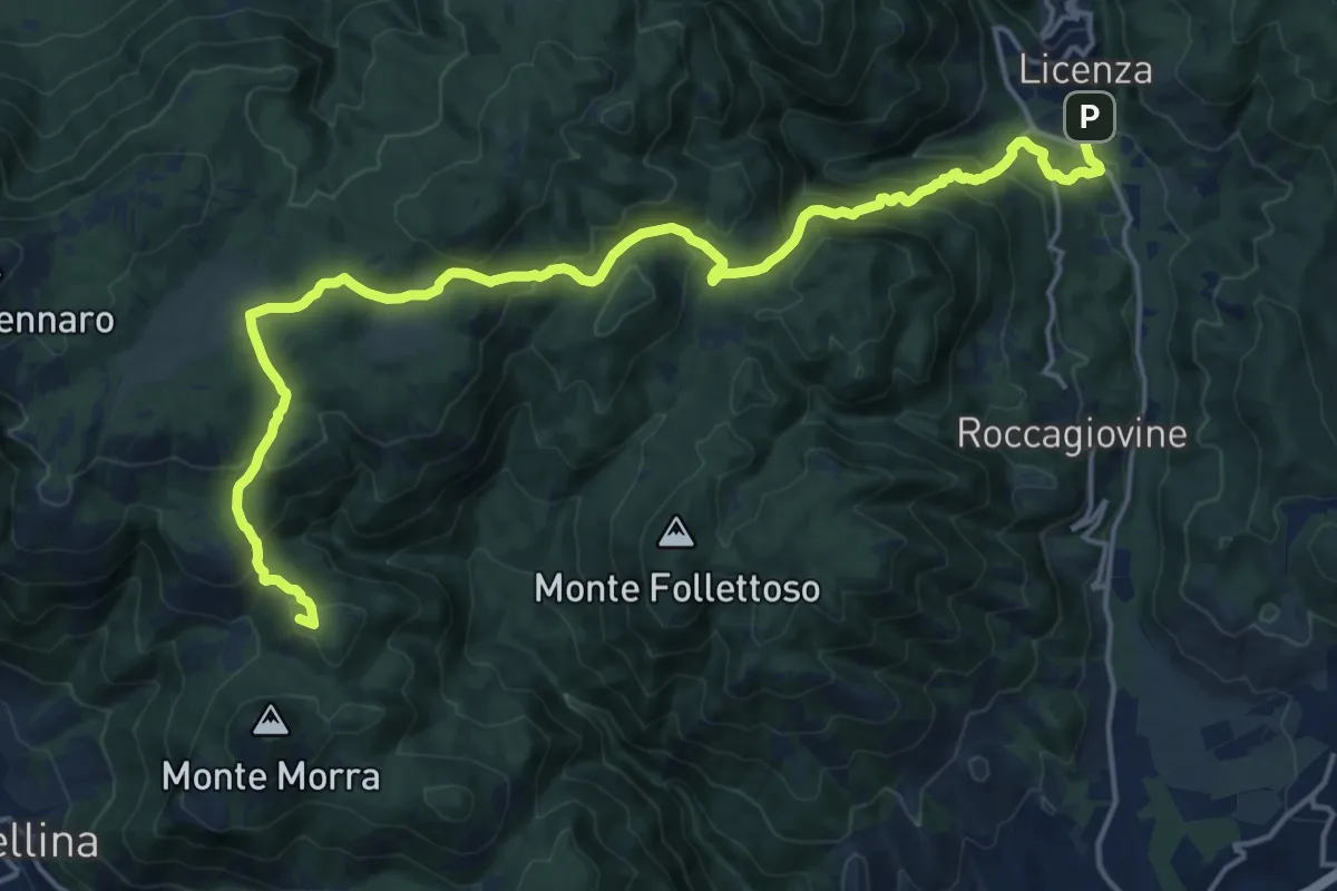
Expert · Summit
Sentiero Coleman - Tappa 6
21.6 km · ↑ 1092 m · 7 h 27 min · 15 km away
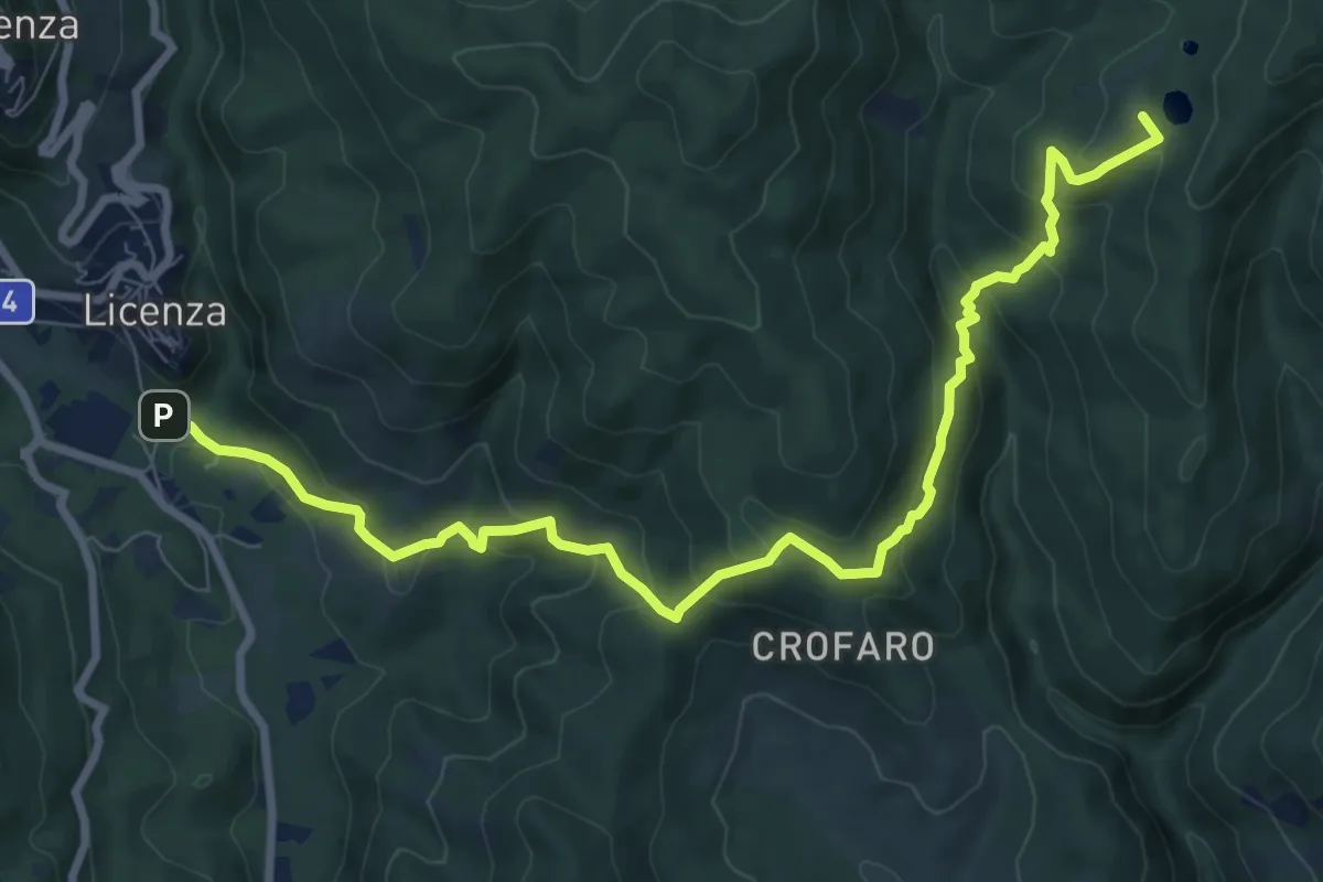
Medium · Summit
Licenza – Laghetti di Percile
10.6 km · ↑ 587 m · 3 h 46 min · 15 km away
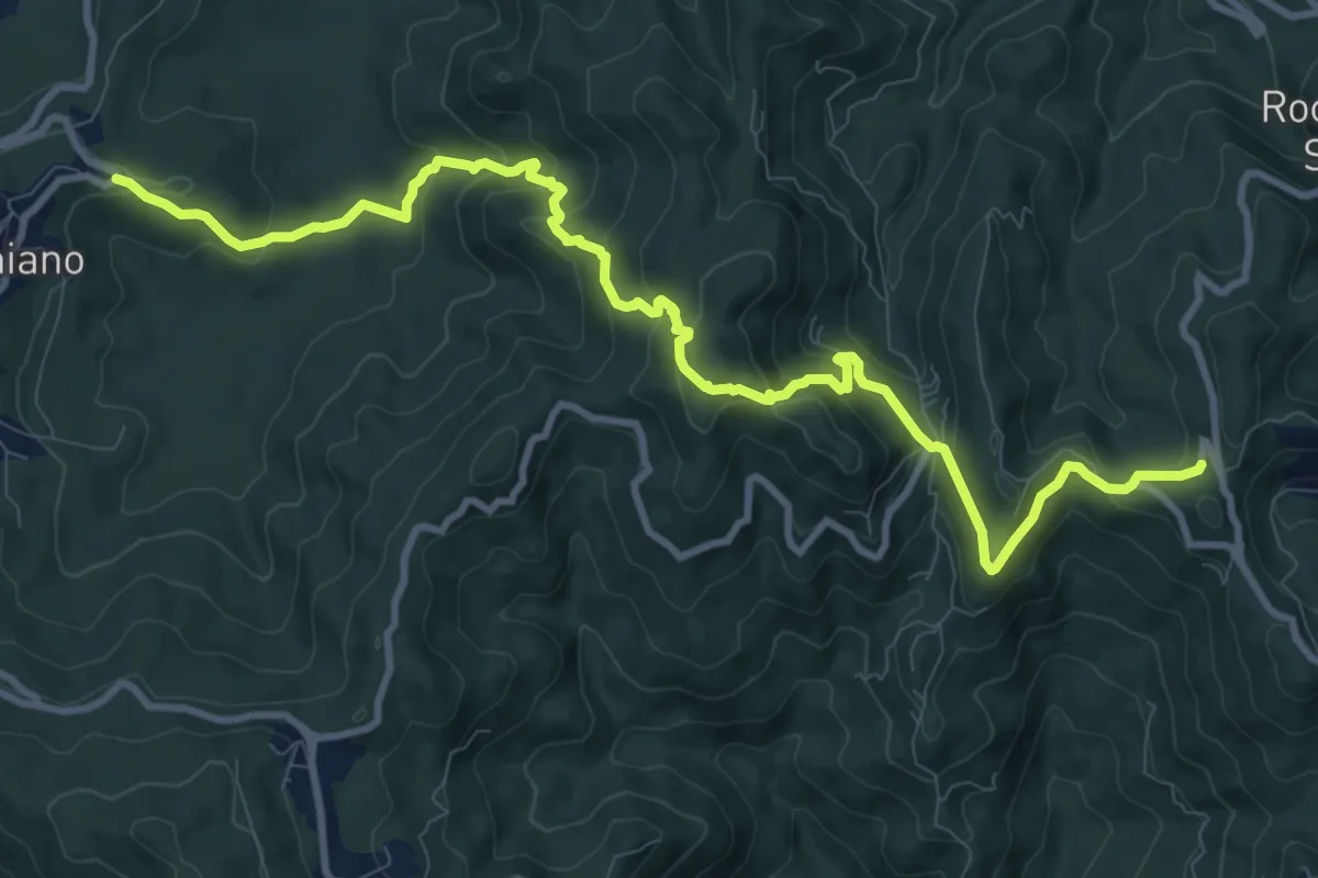
Medium · Trail
Sentiero Padre Filippo Sales
13.1 km · ↑ 744 m · 4 h 42 min · 15 km away