Trails near Tolmezzo
115 hikes starting within 15 km, nearest first.
Nearest first, page 1 of 3
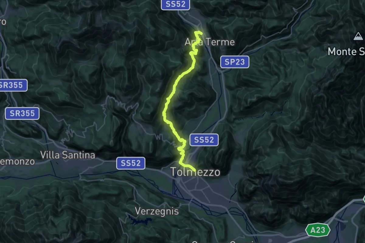
Demanding · Trail
Hst. Arta Terme/Via Nazionale 38 – Tolmezzo/Ortszentrum
12.5 km · ↑ 872 m · 4 h 57 min · under 1 km away
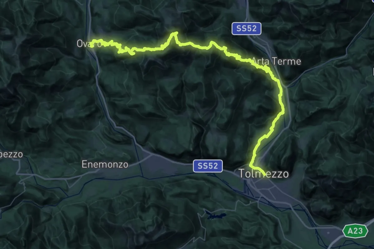
Demanding · Trail
JK21
31.8 km · ↑ 1756 m · 11 h 39 min · under 1 km away
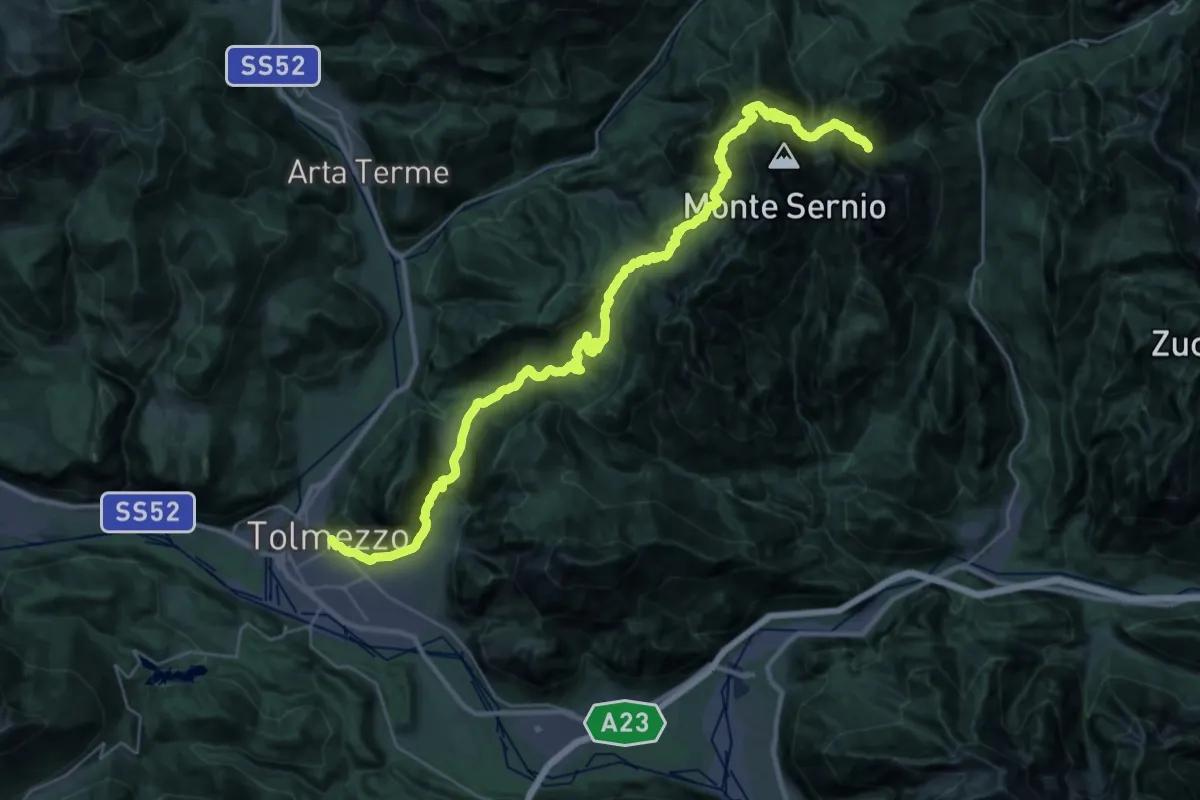
Demanding · Summit
JK20
21.8 km · ↑ 1806 m · 8 h 54 min · under 1 km away
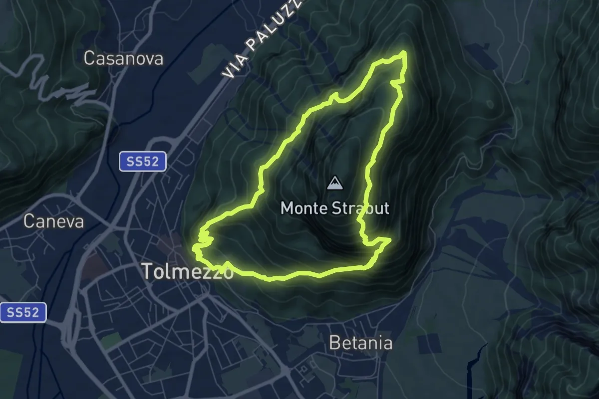
Medium · Summit
Anello dello Strabut
7.1 km · ↑ 751 m · 3 h 25 min · under 1 km away
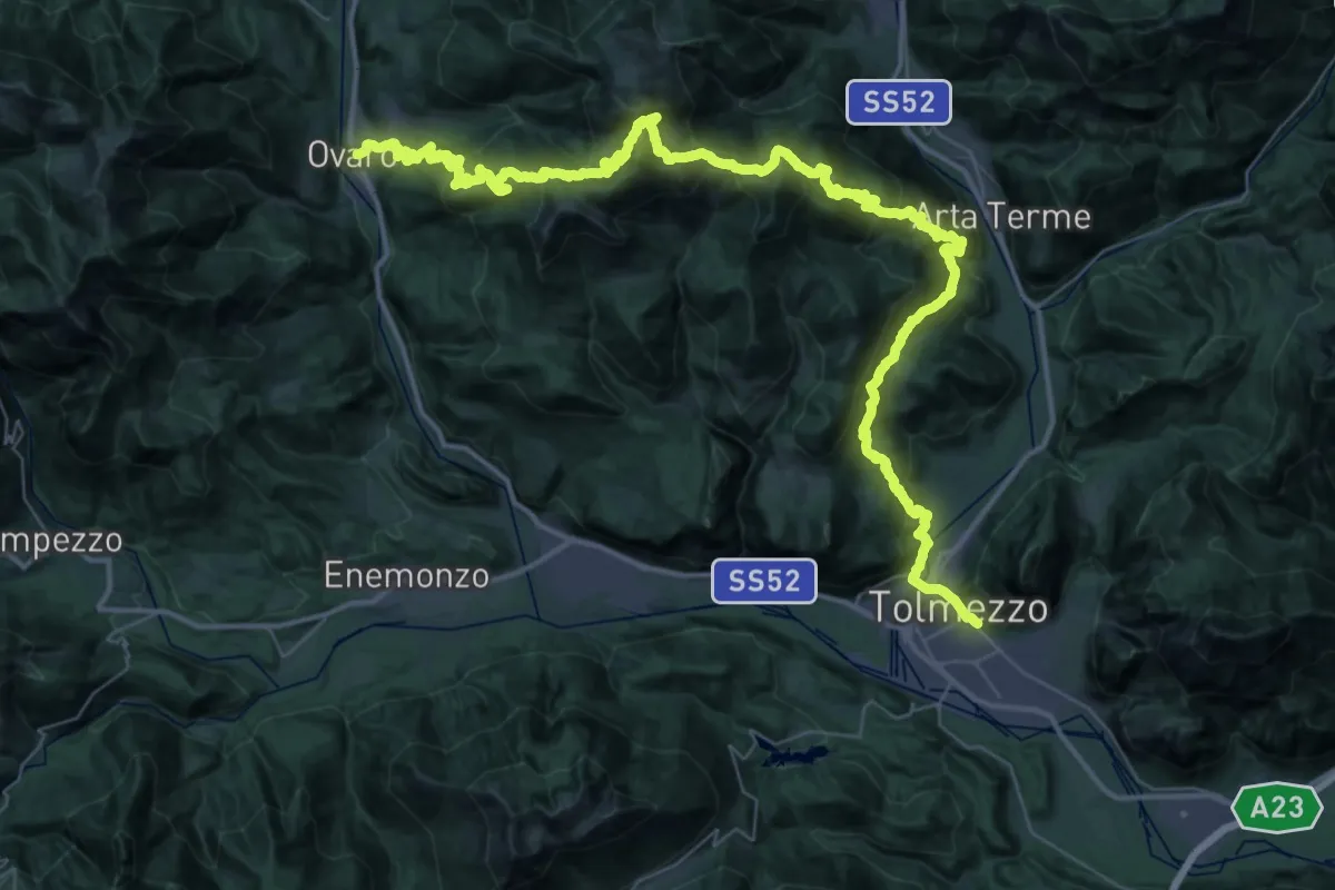
Demanding · Trail
Via Alpina Yellow B13
31.5 km · ↑ 2092 m · 12 h 18 min · under 1 km away
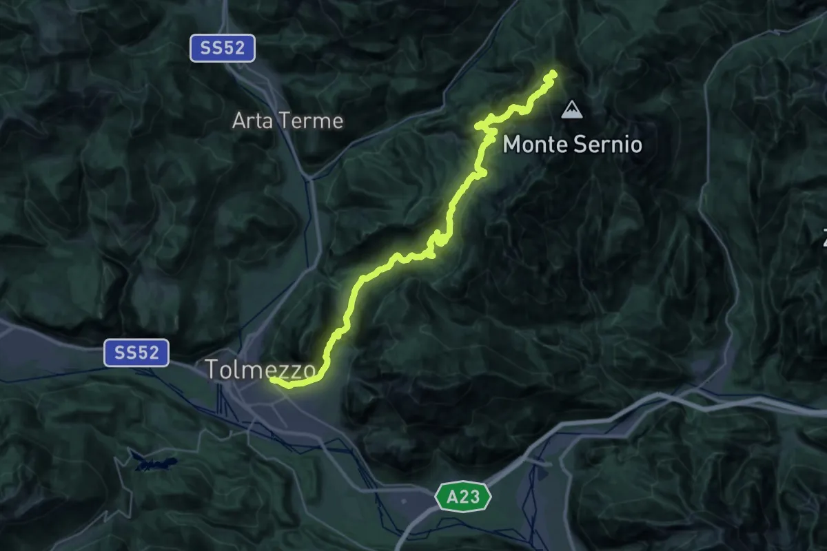
Demanding · Summit
Via Alpina Yellow B12
39.0 km · ↑ 2238 m · 14 h 4 min · under 1 km away
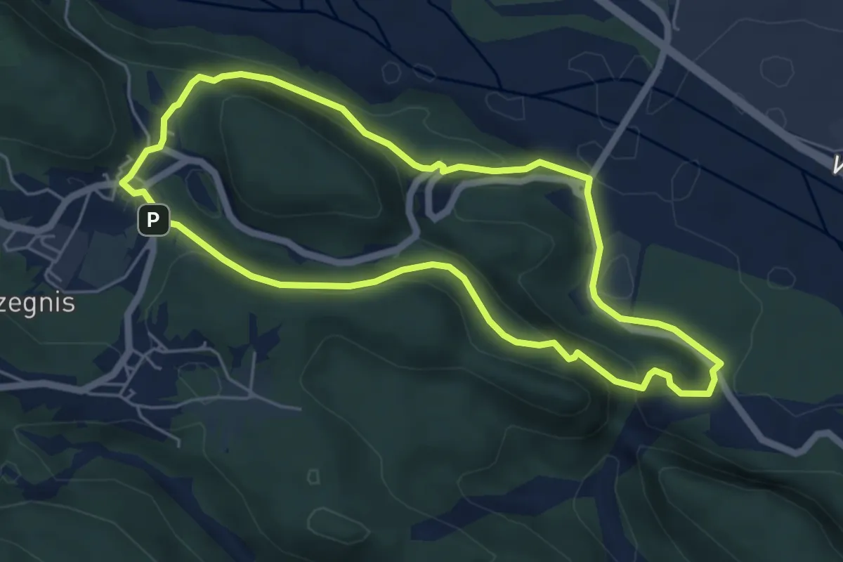
Easy · Summit
Itinerario di Selva
5.1 km · ↑ 204 m · 1 h 43 min · 3 km away
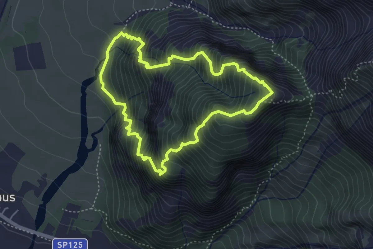
Demanding · Summit
Strada Provinciale 125 località Pissebus (q. 300 m) – Strada Provinciale 125 località Pissebus (q. 300 m)
3.8 km · ↑ 642 m · 2 h 20 min · 3 km away
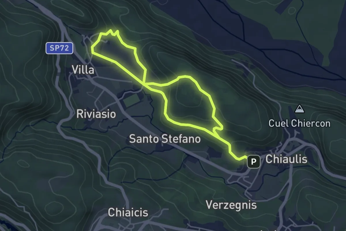
Easy · Trail
Itinerario del Colle Mazeit
6.8 km · ↑ 216 m · 2 h 5 min · 3 km away
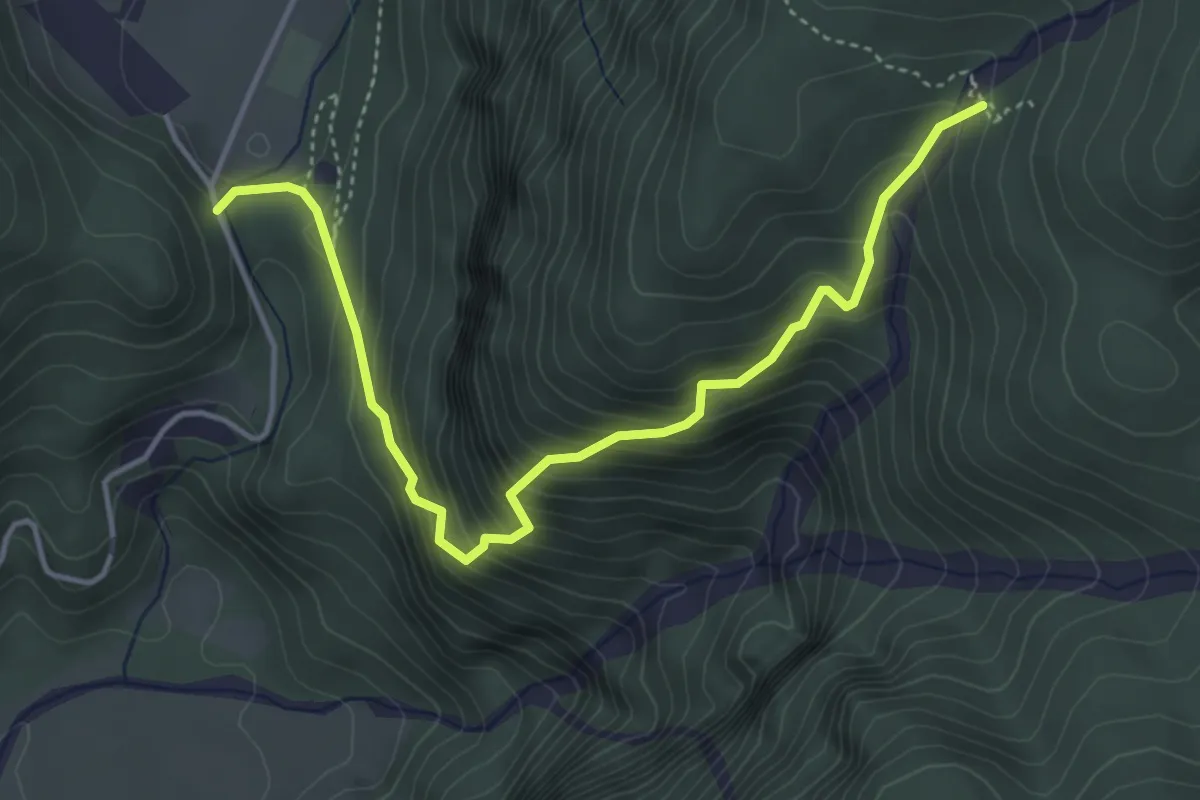
Medium · Cabin
Sentiero Cornons
4.6 km · ↑ 594 m · 2 h 23 min · 3 km away
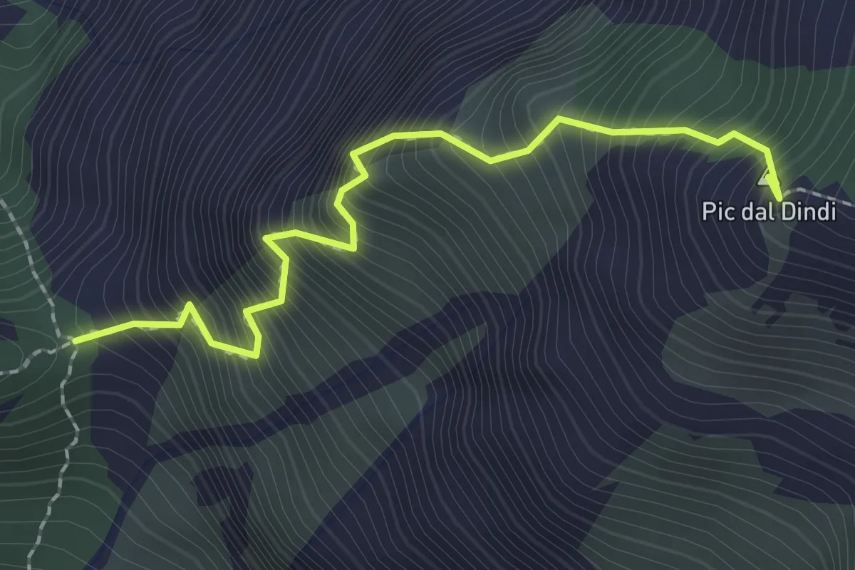
Expert · Summit
Sentiero alpinistico Mario Dalla Marta
2.2 km · ↑ 672 m · 1 h 58 min · 4 km away
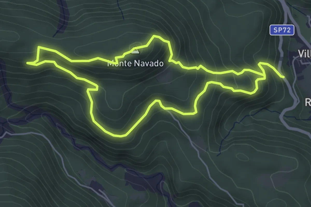
Easy · Summit
Navado Trail
4.8 km · ↑ 285 m · 1 h 50 min · 4 km away
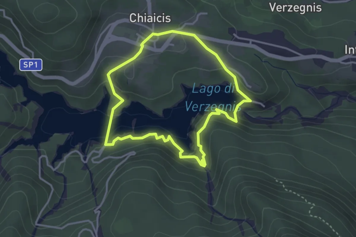
Easy · Trail
Anello del Lago di Verzegnis
2.9 km · ↑ 112 m · 58 min · 4 km away
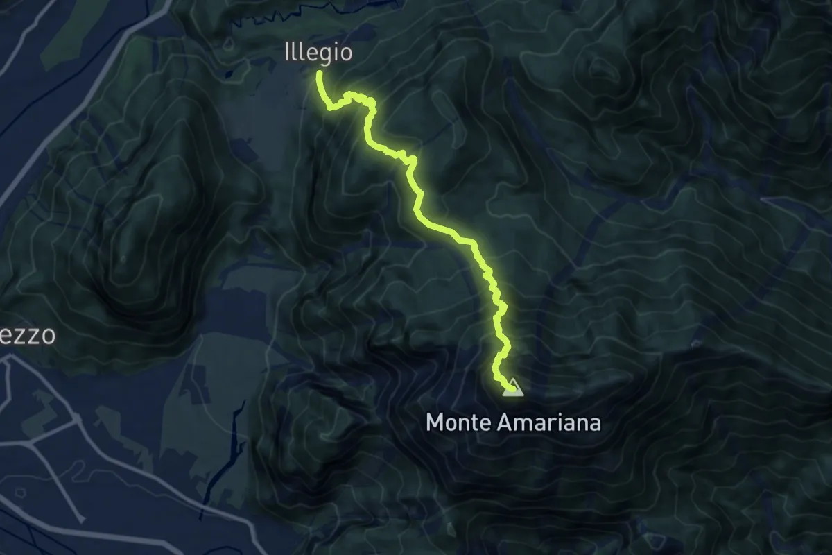
Demanding · Summit
Illegio (quota 596 m) – Monte Amariana (quota 1905 m)
10.3 km · ↑ 1469 m · 5 h 37 min · 4 km away
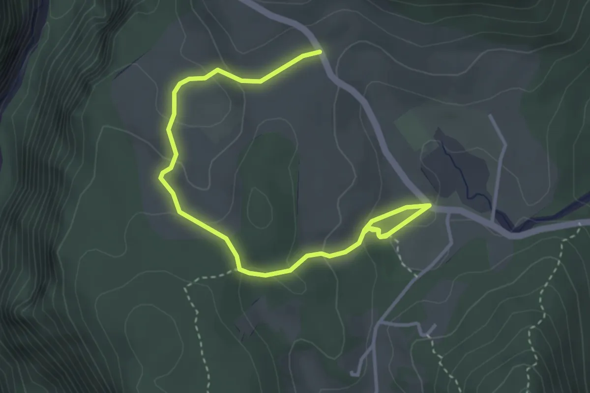
Easy · Trail
Sentiero naturalistico "Torbiere di Curiedi"
4.2 km · ↑ 176 m · 1 h 23 min · 4 km away
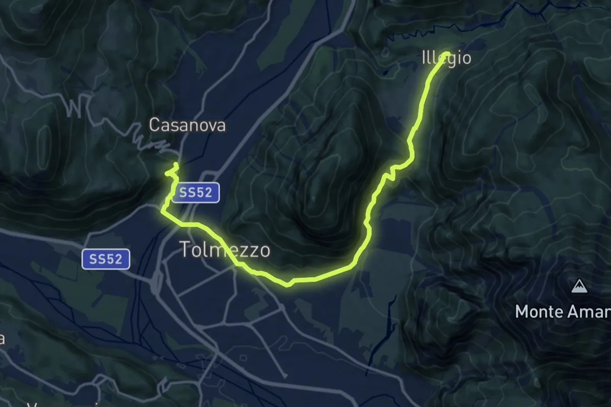
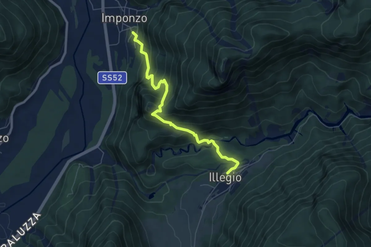
Medium · Trail
Cammino delle Pievi - Tappa 02
15.3 km · ↑ 510 m · 4 h 44 min · 4 km away
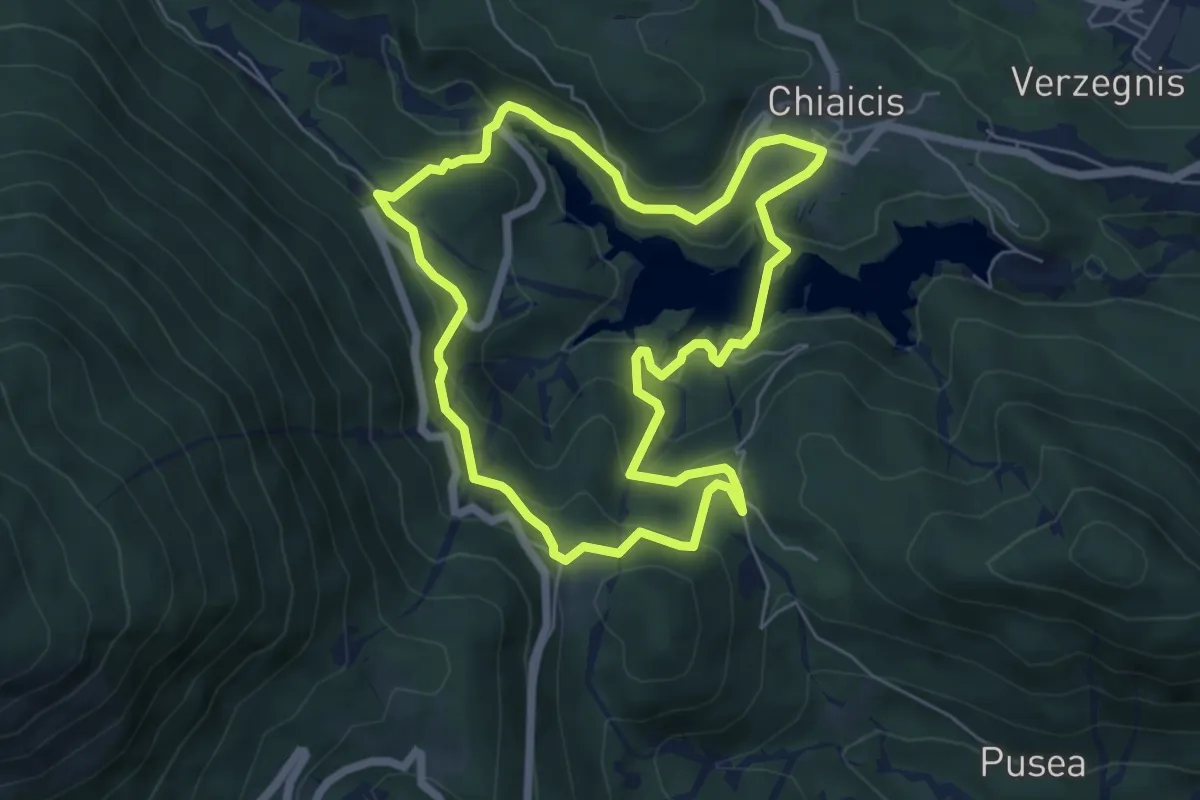
Medium · Trail
Cammino delle Pievi - Tappa 01
6.0 km · ↑ 487 m · 2 h 29 min · 4 km away
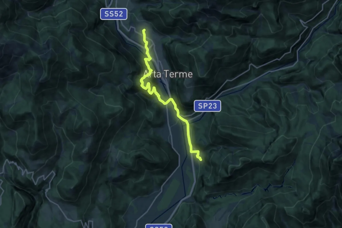
Easy · Trail
Anello delle Borgate
5.9 km · ↑ 303 m · 2 h 8 min · 4 km away
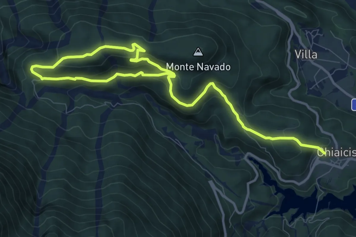
Demanding · Trail
Cammino delle Pievi - Tappa 20
15.4 km · ↑ 846 m · 5 h 28 min · 5 km away
Medium · Trail
Anello di Gimbri
12.7 km · ↑ 494 m · 4 h 4 min · 5 km away
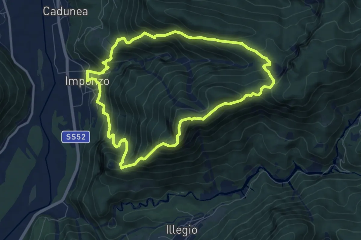
Medium · Summit
Imponzo (quota 404 m) – Imponzo (quota 404 m)
7.6 km · ↑ 693 m · 3 h 25 min · 5 km away
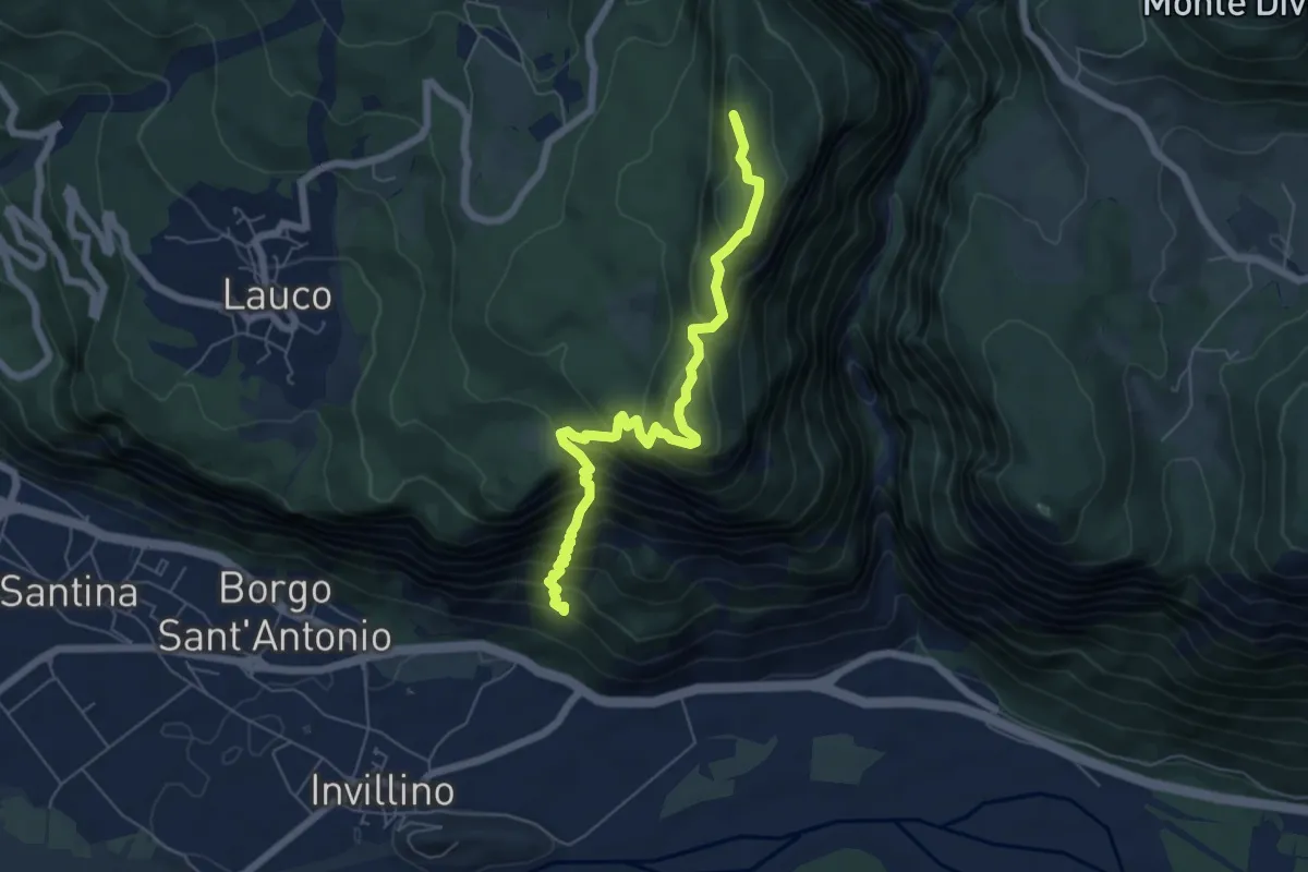
Demanding · Summit
Sentiero Monte Cretis
6.4 km · ↑ 667 m · 2 h 57 min · 5 km away
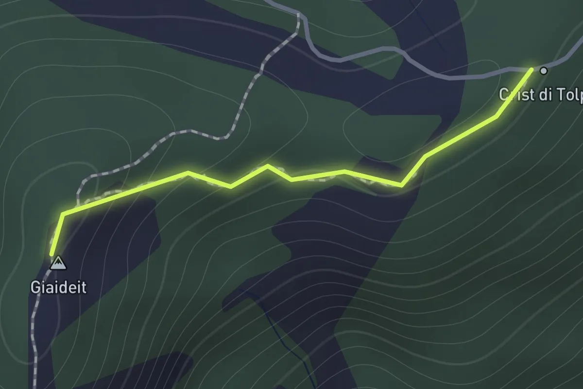
Medium · Summit
Troi par Oltrevîs
0.9 km · ↑ 50 m · 20 min · 5 km away
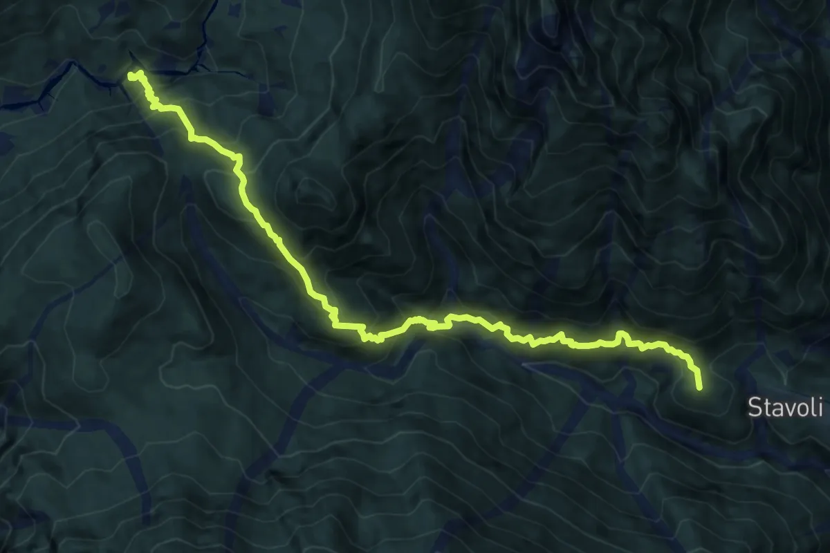
Demanding · Summit
Campiolo di Sopra (quota 349 m) – Rotabile Illegio – Pra di Lunze a km 2 da Illegio (quota 690 m)
13.1 km · ↑ 1439 m · 6 h 12 min · 6 km away
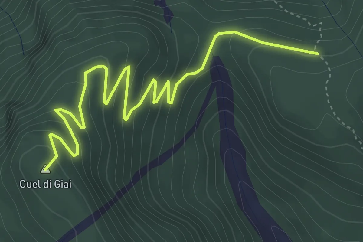
Medium · Summit
Sella Dagna/Bivio sentiero n. 417 (quota 980 m) – Ricovero Cimenti-Floreanini/Bivio sentiero n. 443 (quota 1070 m)
5.1 km · ↑ 332 m · 1 h 55 min · 6 km away
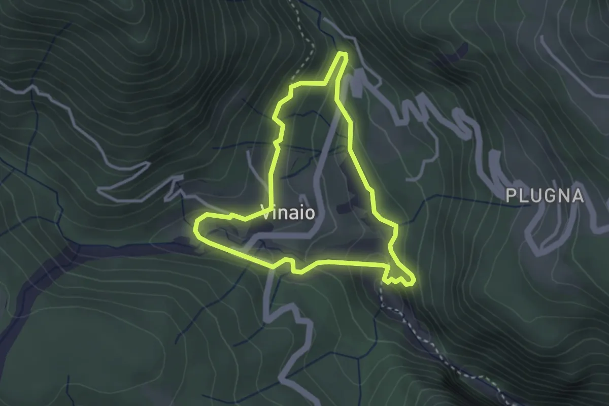
Demanding · Trail
Sentiero della Forra del Vinadia
2.7 km · ↑ 103 m · 53 min · 6 km away
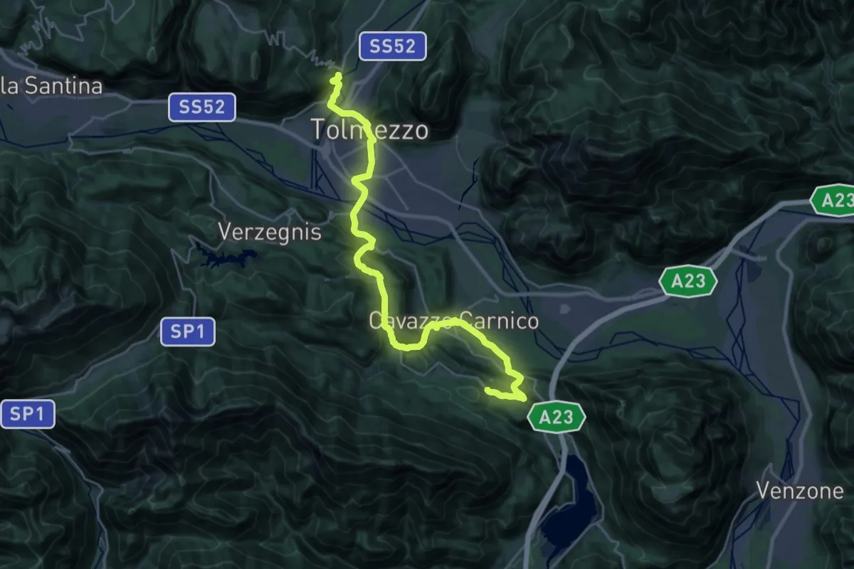
Demanding · Trail
Cammino delle Pievi - Tappa 03
27.1 km · ↑ 651 m · 7 h 49 min · 6 km away
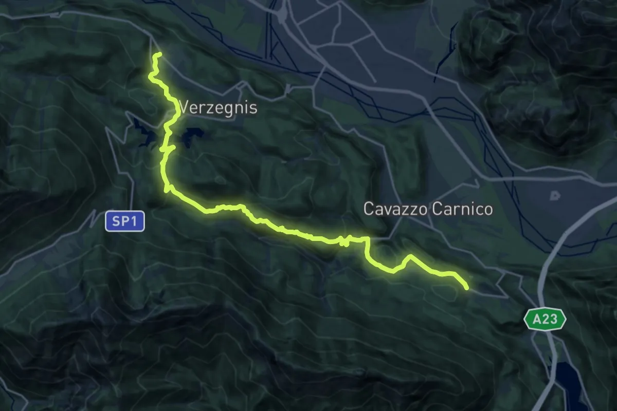
Demanding · Trail
Cammino delle Pievi - Tappa 04
22.6 km · ↑ 998 m · 7 h 30 min · 6 km away
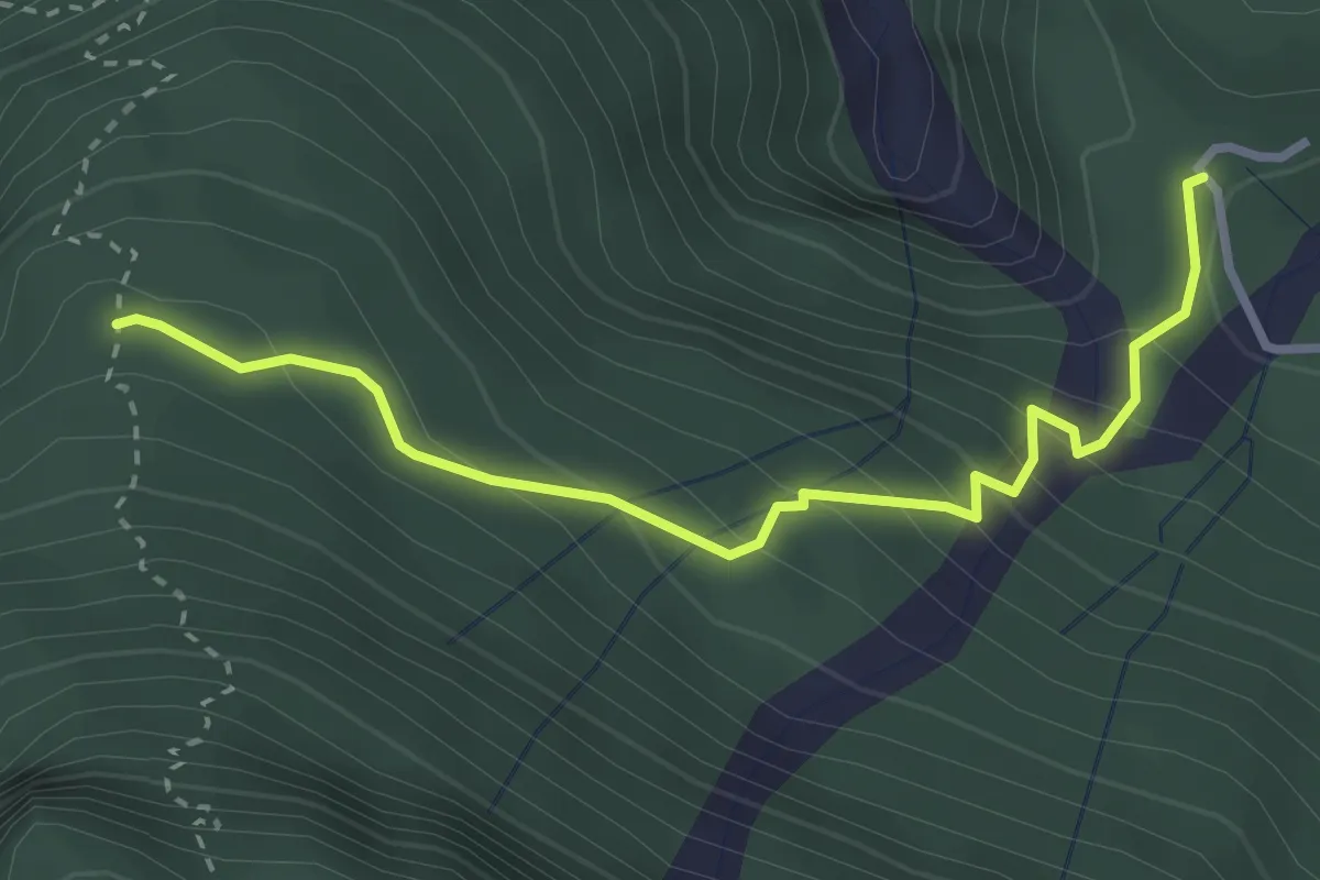
Easy · Trail
Stavolo Chiampaman (quota 704 m) – Bivio sentiero n. 806 (quota 940 m)
3.2 km · ↑ 256 m · 1 h 18 min · 6 km away
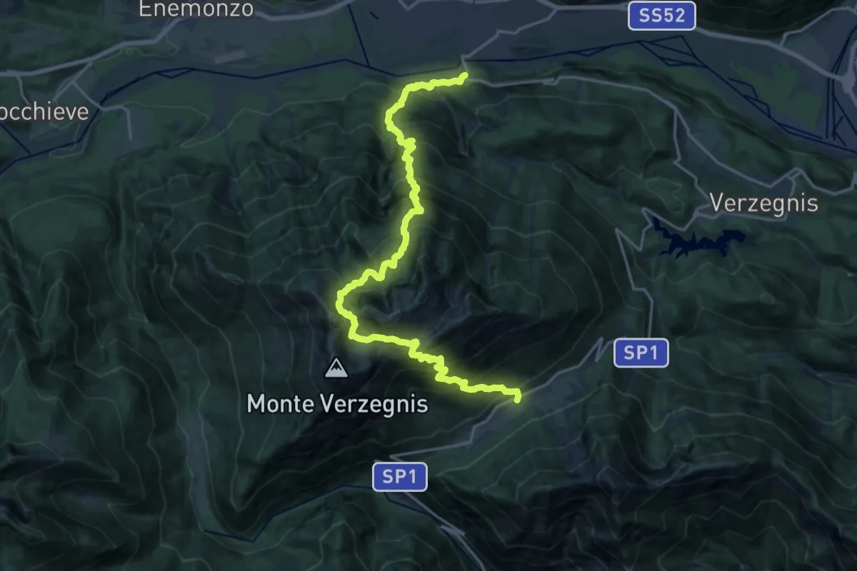
Demanding · Trail
Valle di Preone (quota 765 m) – Bivio Sentiero 806 (quota 1572 m)
10.6 km · ↑ 1516 m · 5 h 39 min · 7 km away
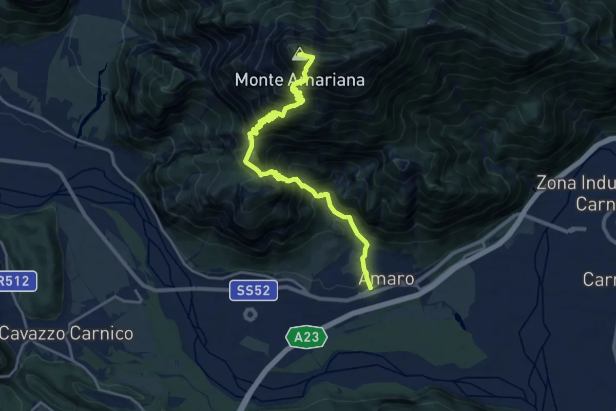
Expert · Summit
Amaro (quota 290 m) – Monte Amariana (quota 1907 m)
12.6 km · ↑ 1760 m · 6 h 47 min · 7 km away
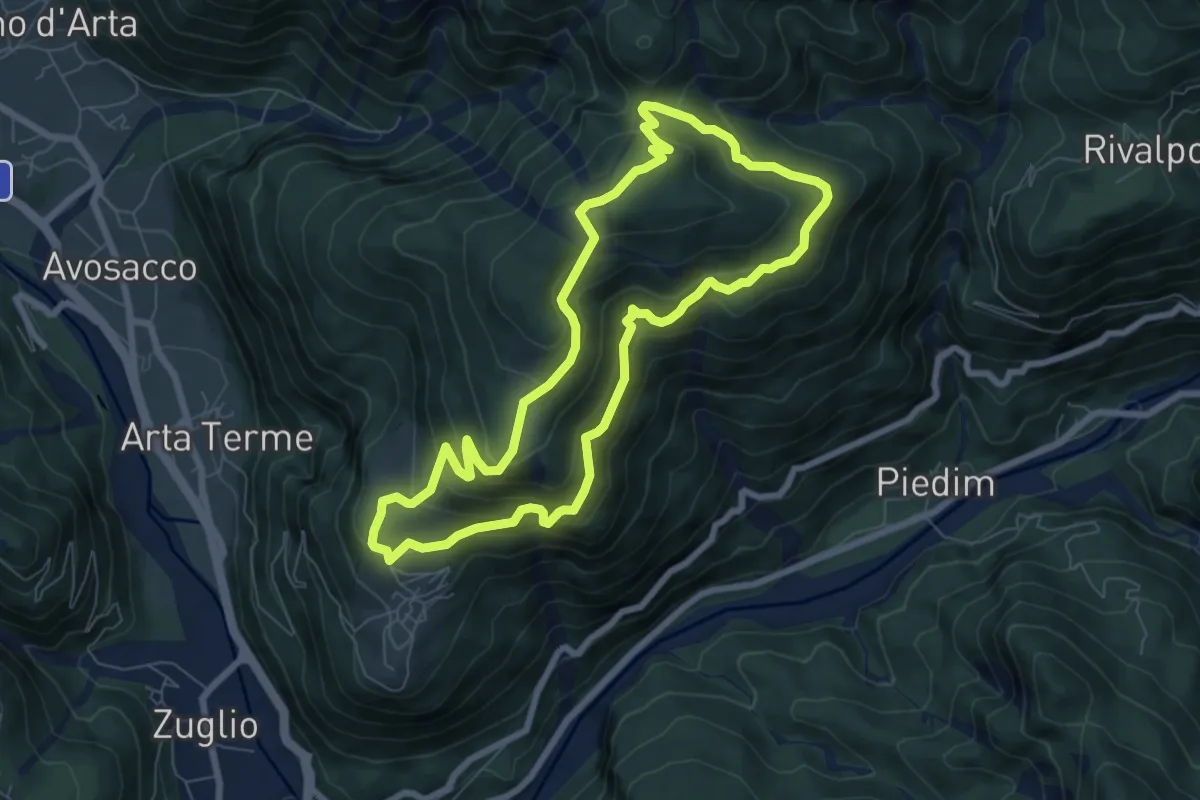
Medium · Trail
Cabia (quota 804 m) – Cabia (quota 804 m)
7.1 km · ↑ 487 m · 2 h 50 min · 7 km away
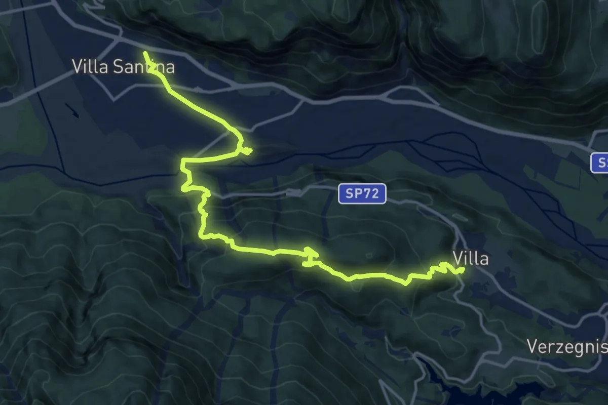
Demanding · Trail
Cammino delle Pievi - Tappa 05
16.5 km · ↑ 849 m · 5 h 45 min · 7 km away
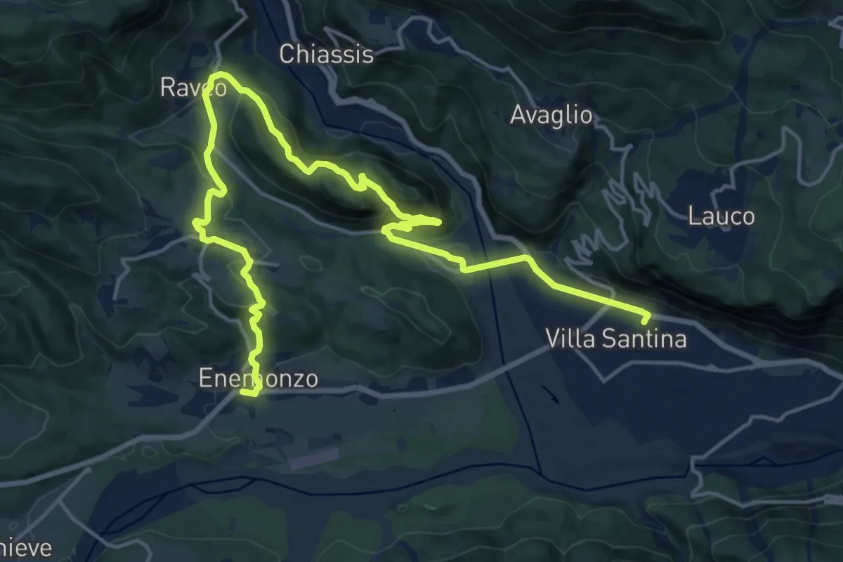
Demanding · Trail
Cammino delle Pievi - Tappa 06
20.5 km · ↑ 748 m · 6 h 28 min · 7 km away
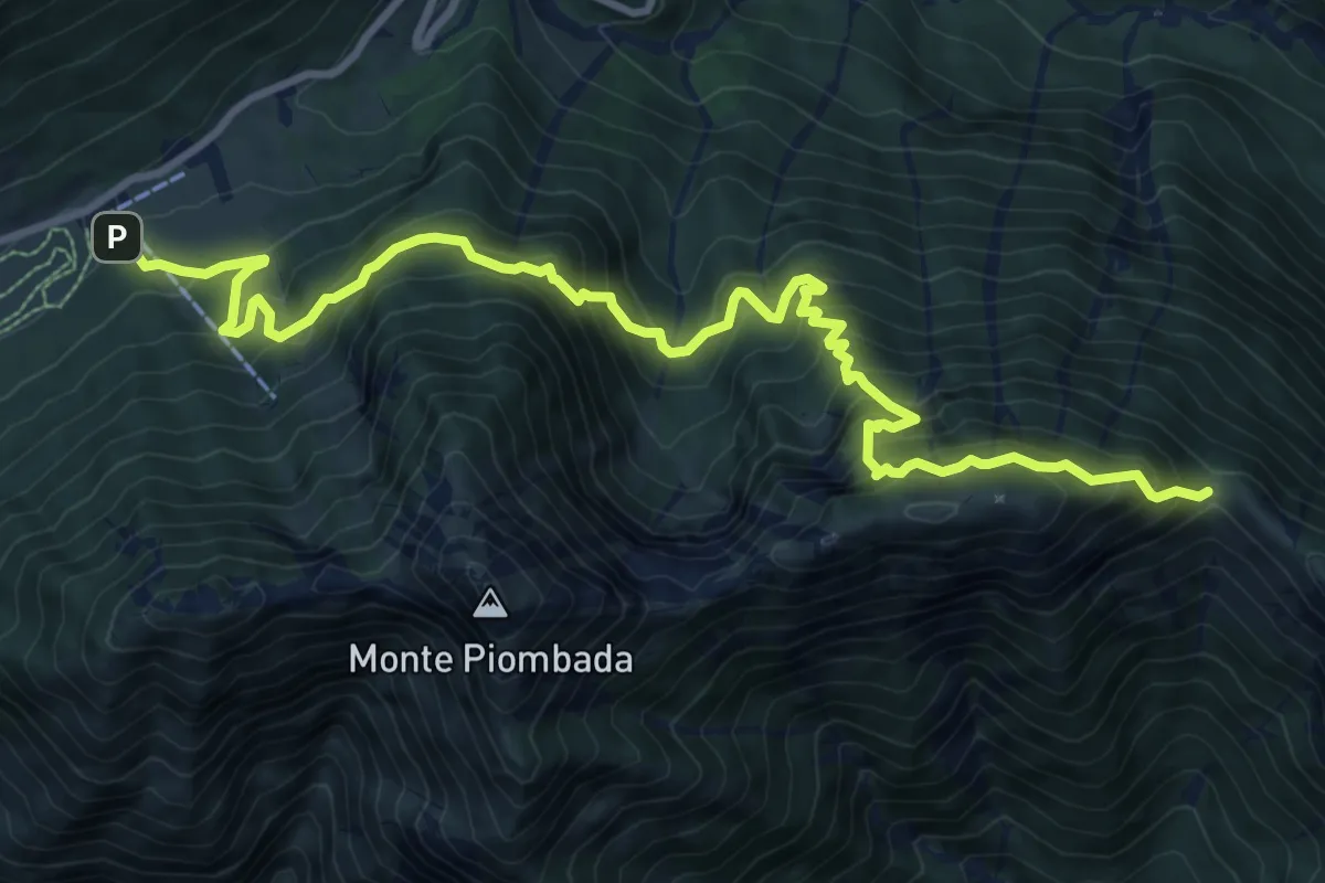
Demanding · Cabin
Sella Chianzutan (quota 955 m) – La Forca/Bivio sentiero n. 827 (quota 1258 m)
12.0 km · ↑ 1248 m · 5 h 33 min · 8 km away
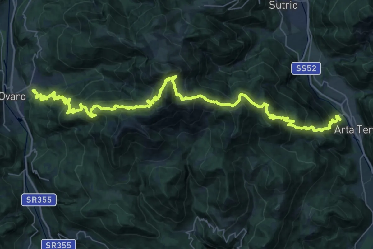
Demanding · Trail
Ovaro (Lenzone) (quota 614 m) – Arta Terme (quota 440 m)
20.2 km · ↑ 1540 m · 8 h 18 min · 8 km away
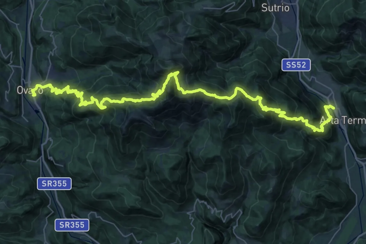
Demanding · Trail
Hst. Arta Terme/Via Nazionale 38 (Hotel) – Ovaro
22.6 km · ↑ 1563 m · 8 h 59 min · 8 km away
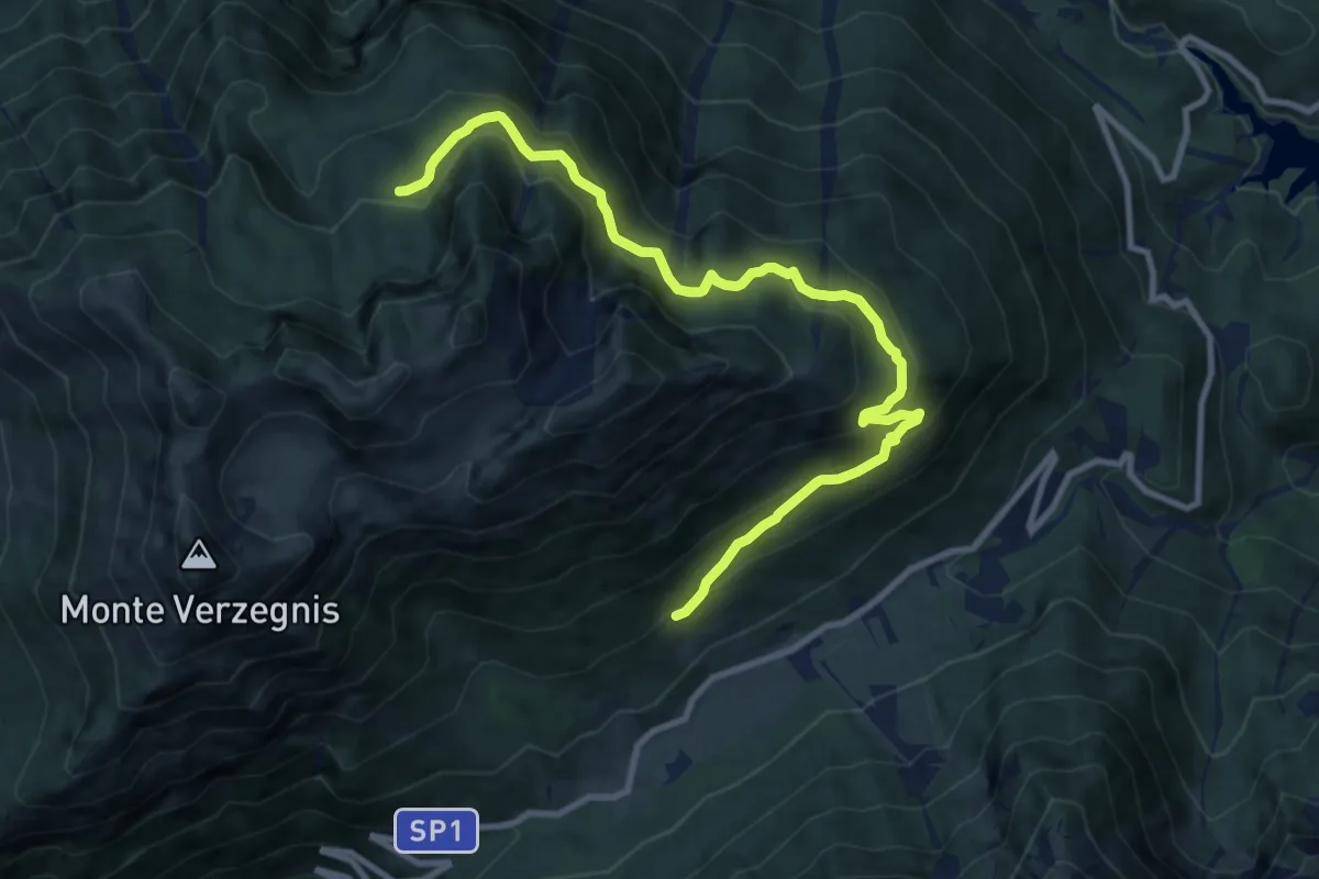
Medium · Trail
Casera Mongranda (quota 1071 m) – Bivio sentiero n. 806 (quota 1460 m)
10.8 km · ↑ 724 m · 4 h 8 min · 8 km away
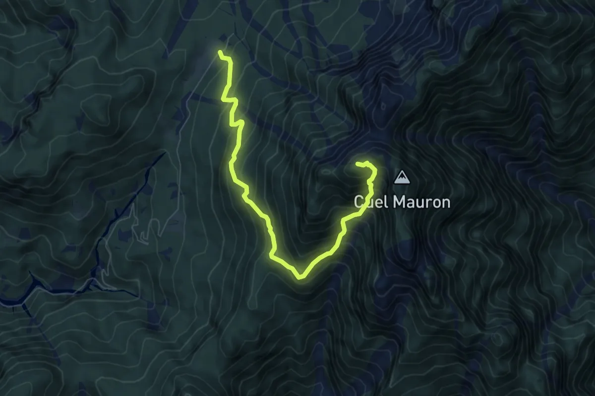
Demanding · Summit
Pra di Lunge (quota 910 m) – Monte Palavierte (quota 1785 m)
7.5 km · ↑ 903 m · 3 h 44 min · 8 km away
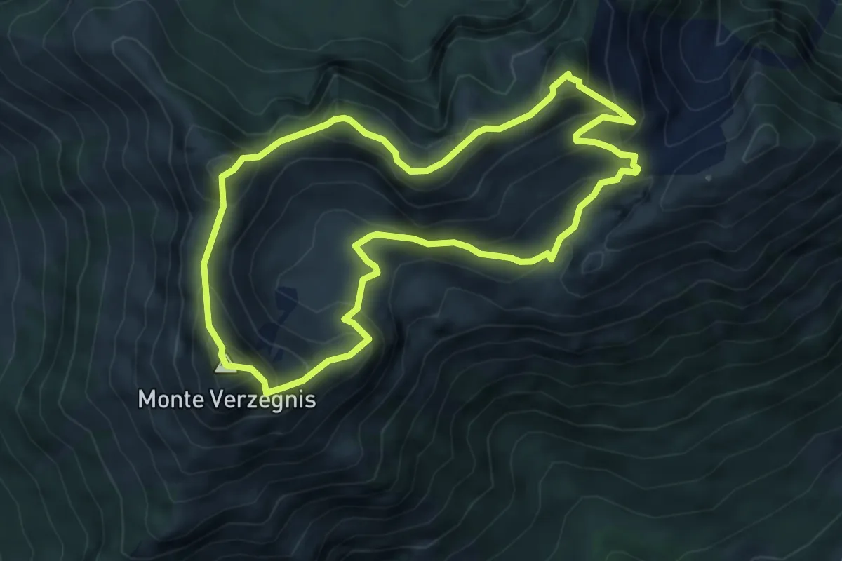
Expert · Summit
Sentiero delle Creste
5.4 km · ↑ 508 m · 2 h 28 min · 8 km away
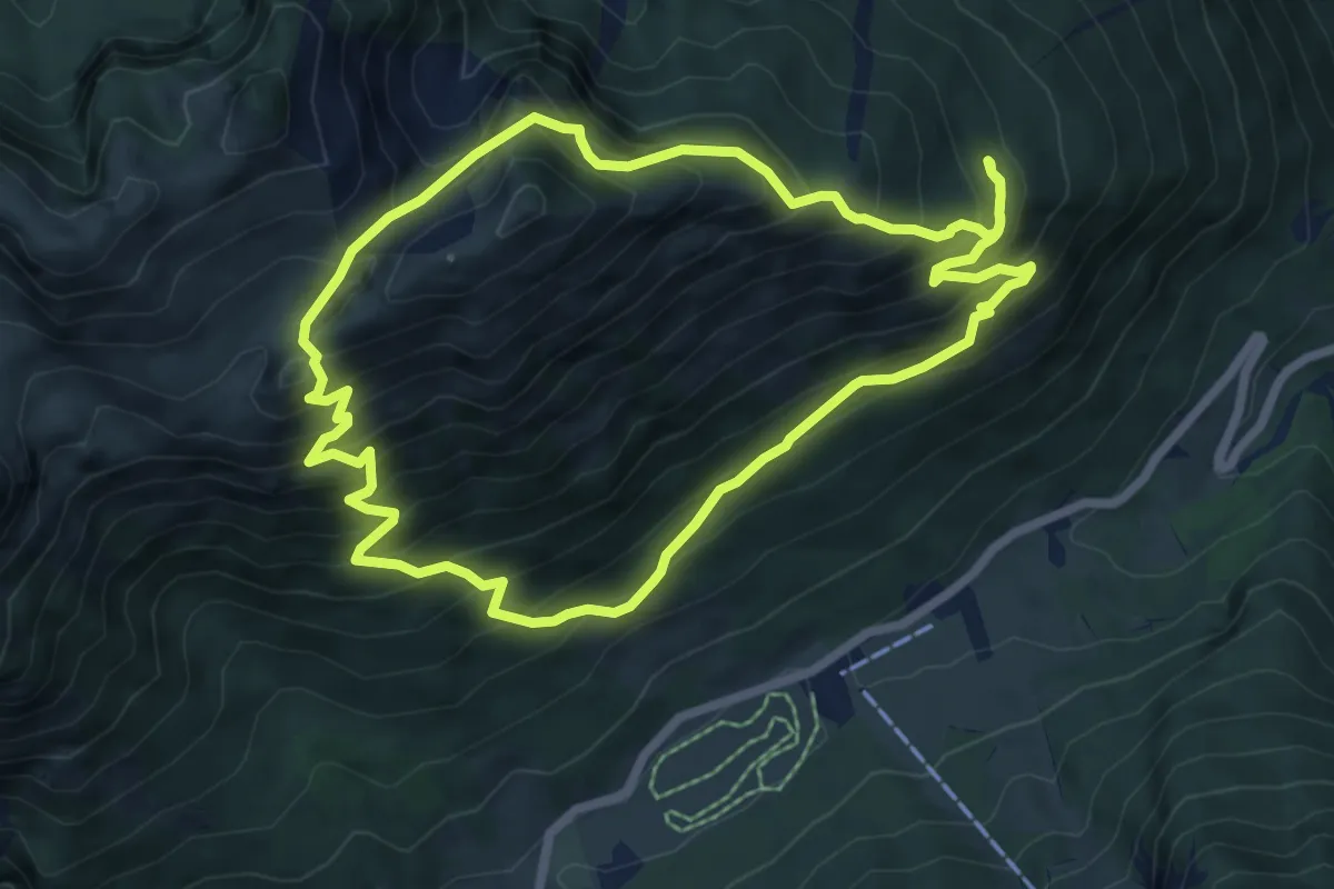
Medium · Trail
Via storica del marmo di Verzegnis
6.9 km · ↑ 684 m · 3 h 12 min · 8 km away
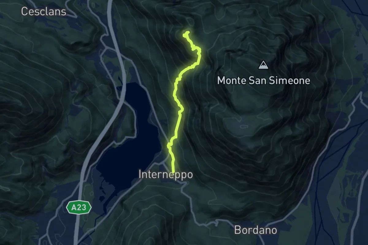
Demanding · Trail
Interneppo (q. 257 m) – Monte San Simeone (q. 1505 m)
7.7 km · ↑ 909 m · 3 h 48 min · 8 km away
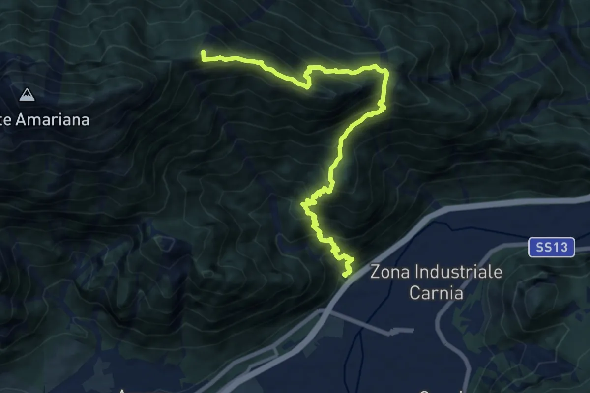
Expert · Summit
Ponte Rio Favarins (quota 270 m) – Bivio sentiero n. 414 (quota 1850 m)
11.5 km · ↑ 1326 m · 5 h 35 min · 8 km away
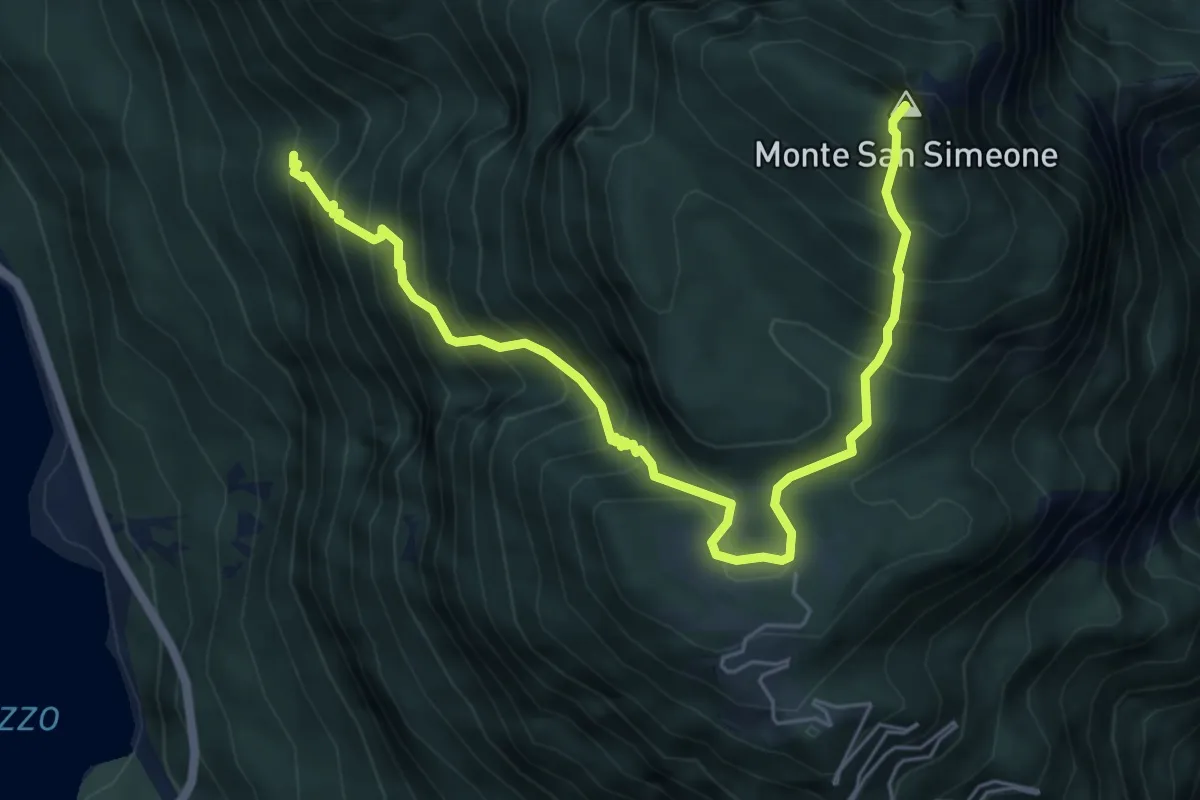
Demanding · Summit
Bivio sentiero n. 838 (q. 643 m) – Monte San Simeone (q. 1505 m)
6.8 km · ↑ 852 m · 3 h 28 min · 9 km away
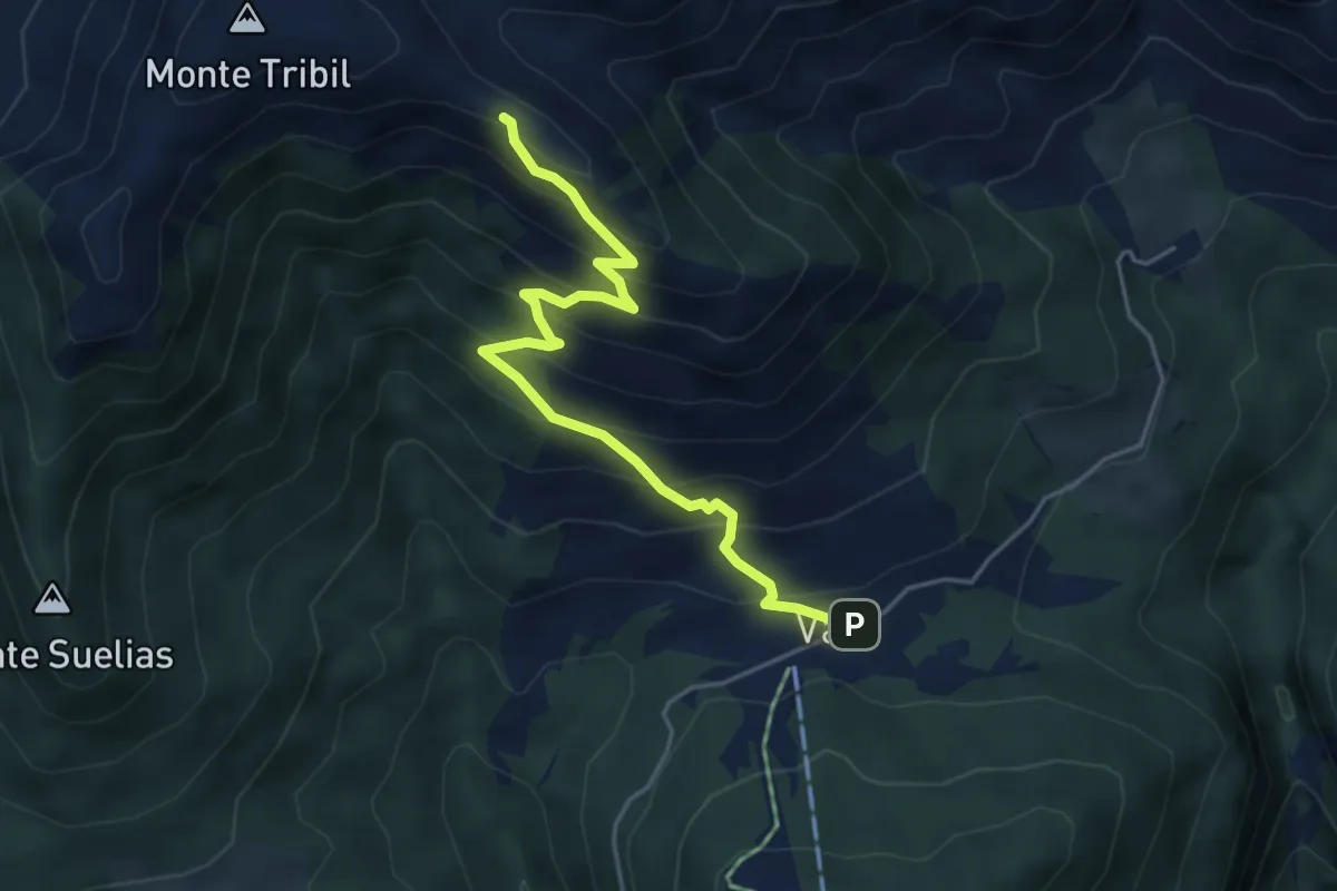
Medium · Trail
Val di Lauco (quota 1187 m) – Sella di Monte Tribil (quota 1670 m)
4.7 km · ↑ 451 m · 2 h 5 min · 9 km away
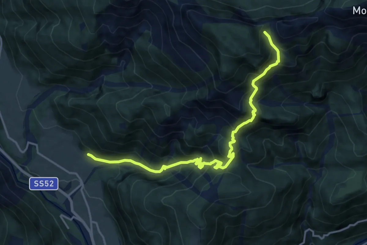
Demanding · Trail
Piano Arta (quota 560 m) – Casera Val Medan Alta (quota 1566 m)
12.0 km · ↑ 1259 m · 5 h 34 min · 9 km away
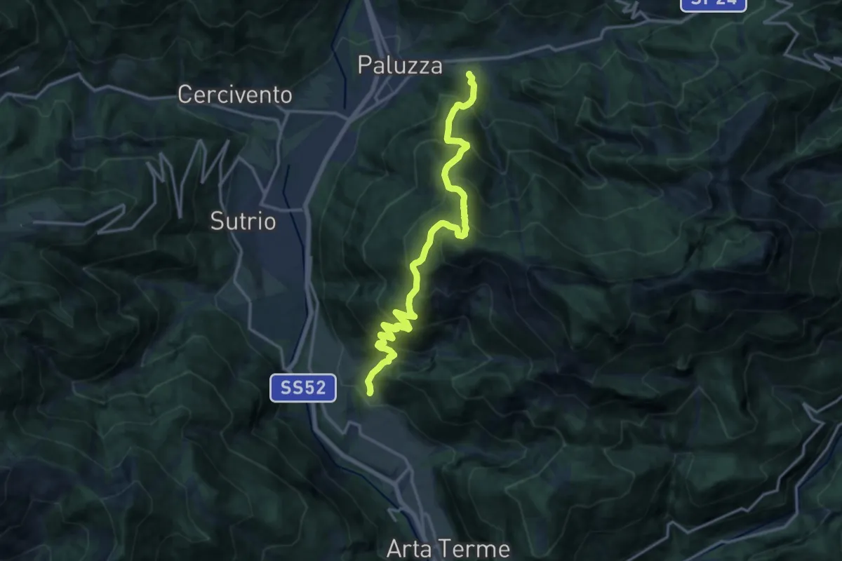
Demanding · Trail
Paluzza – Englaro (quota 600 m) – Piano Arta (quota 560 m)
14.7 km · ↑ 1641 m · 7 h 1 min · 10 km away
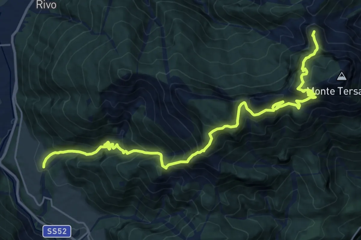
Demanding · Summit
Piano Arta (quota 560 m) – Forcella Lius (quota 1032 m)
20.1 km · ↑ 1915 m · 8 h 54 min · 10 km away