Trails near Tolmezzo
115 hikes starting within 15 km, nearest first.
Nearest first, page 2 of 3
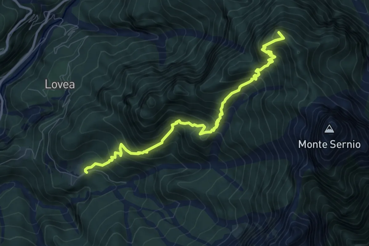
Demanding · Summit
Stavoli Chiampeis (quota 800 m) – Casera del Mestri (quota 1510 m) Bivio sentiero n. 437 (quota 1490 m)
9.1 km · ↑ 1029 m · 4 h 23 min · 10 km away
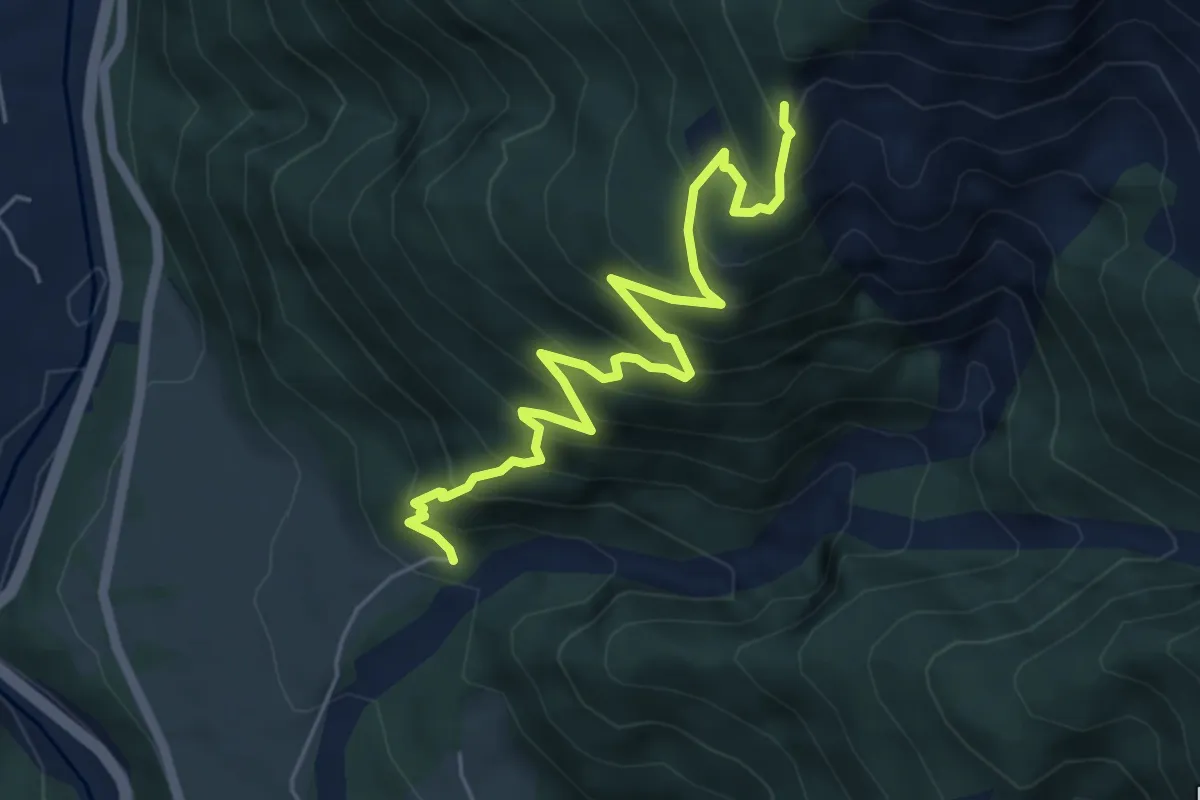
Medium · Trail
Sentiero naturalistico dei "Lander"
5.9 km · ↑ 602 m · 2 h 42 min · 10 km away
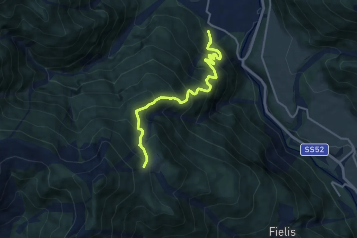
Demanding · Trail
Noiaris -Sutrio (quota 531 m) – Casera Dauda (quota 1413 m)
8.3 km · ↑ 998 m · 4 h 7 min · 10 km away
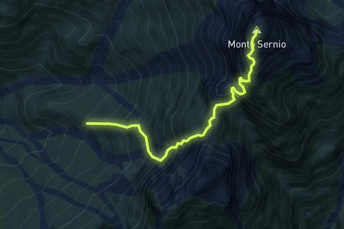
Expert · Summit
Via dell'Anello
5.5 km · ↑ 1114 m · 3 h 42 min · 11 km away
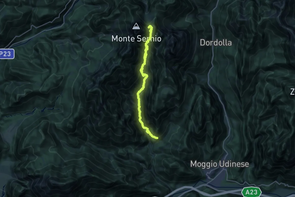
Expert · Summit
Frazione di Moggessa di Là (quota 530 m) – Sella Foran Da La Gjaline (quota 1570 m)
18.4 km · ↑ 1902 m · 8 h 28 min · 11 km away
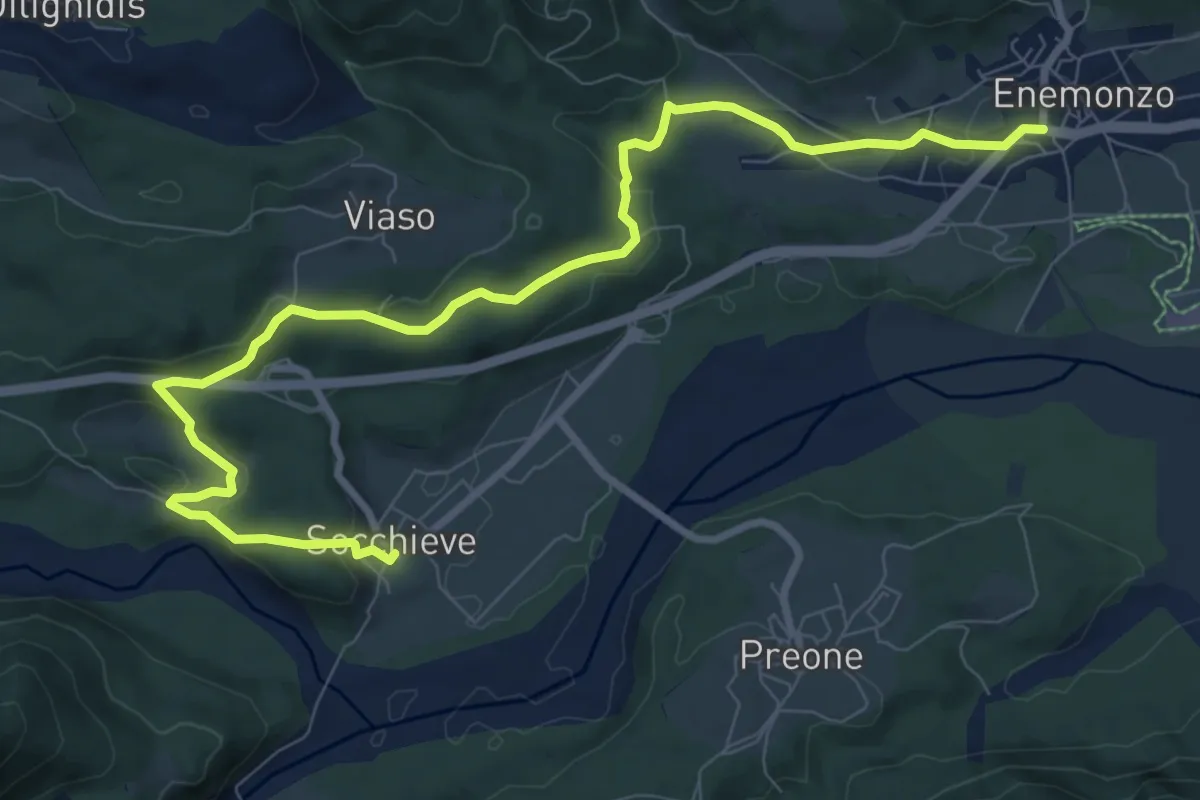
Medium · Trail
Cammino delle Pievi - Tappa 07
10.8 km · ↑ 287 m · 3 h 10 min · 11 km away
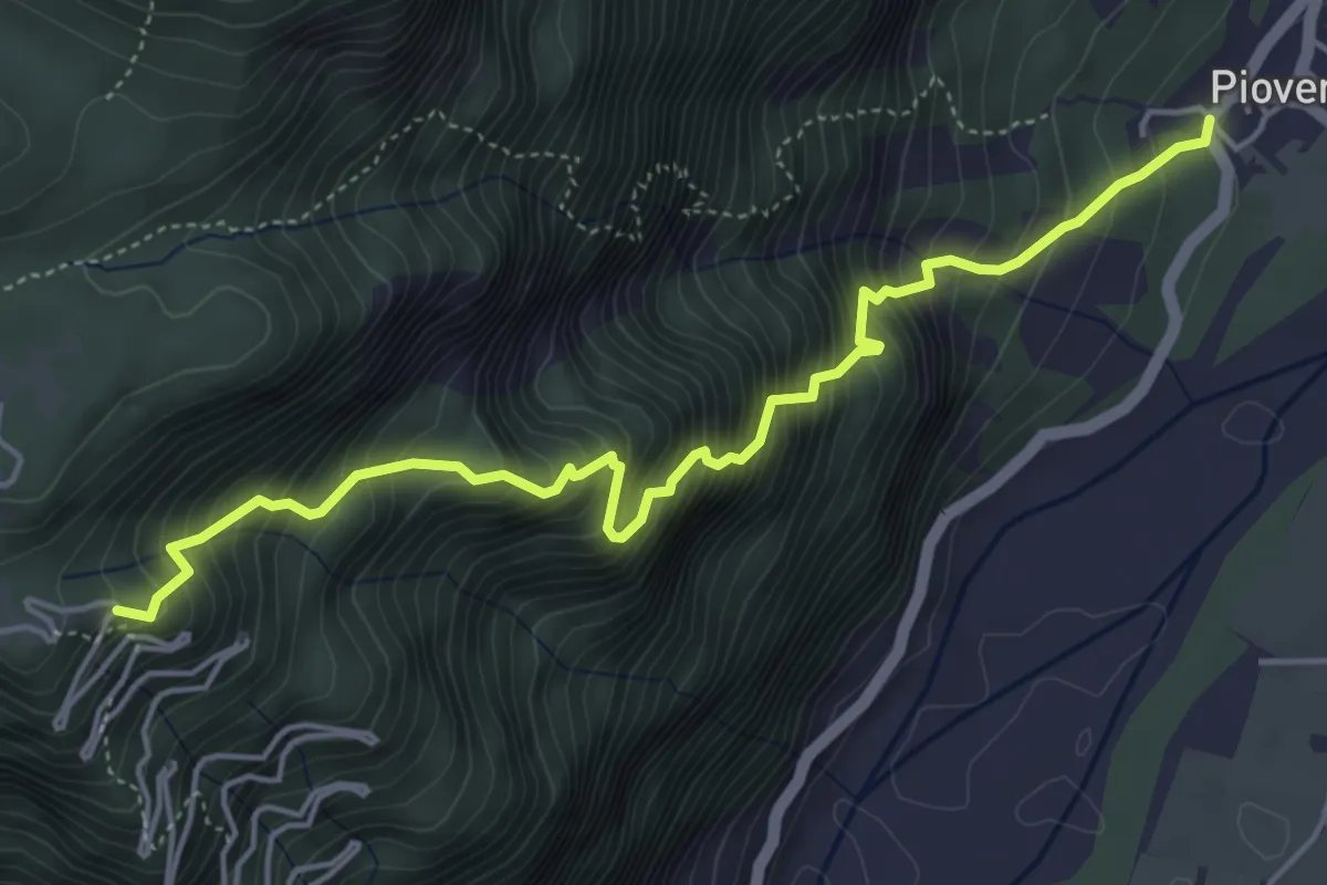
Demanding · Trail
Troi par Cjstjel
5.3 km · ↑ 898 m · 3 h 12 min · 11 km away
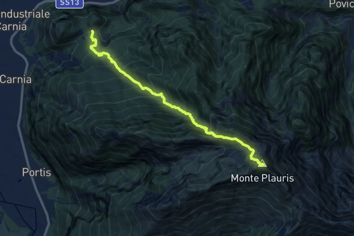
Demanding · Summit
Stavoli Tugliezzo (quota 450 m) – Forca Slips
10.5 km · ↑ 1403 m · 5 h 32 min · 11 km away
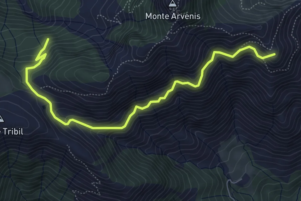
Medium · Summit
Malga Meleit (quota 1542 m) – Malga di Claupa (quota 1638 m)
6.8 km · ↑ 638 m · 2 h 59 min · 11 km away
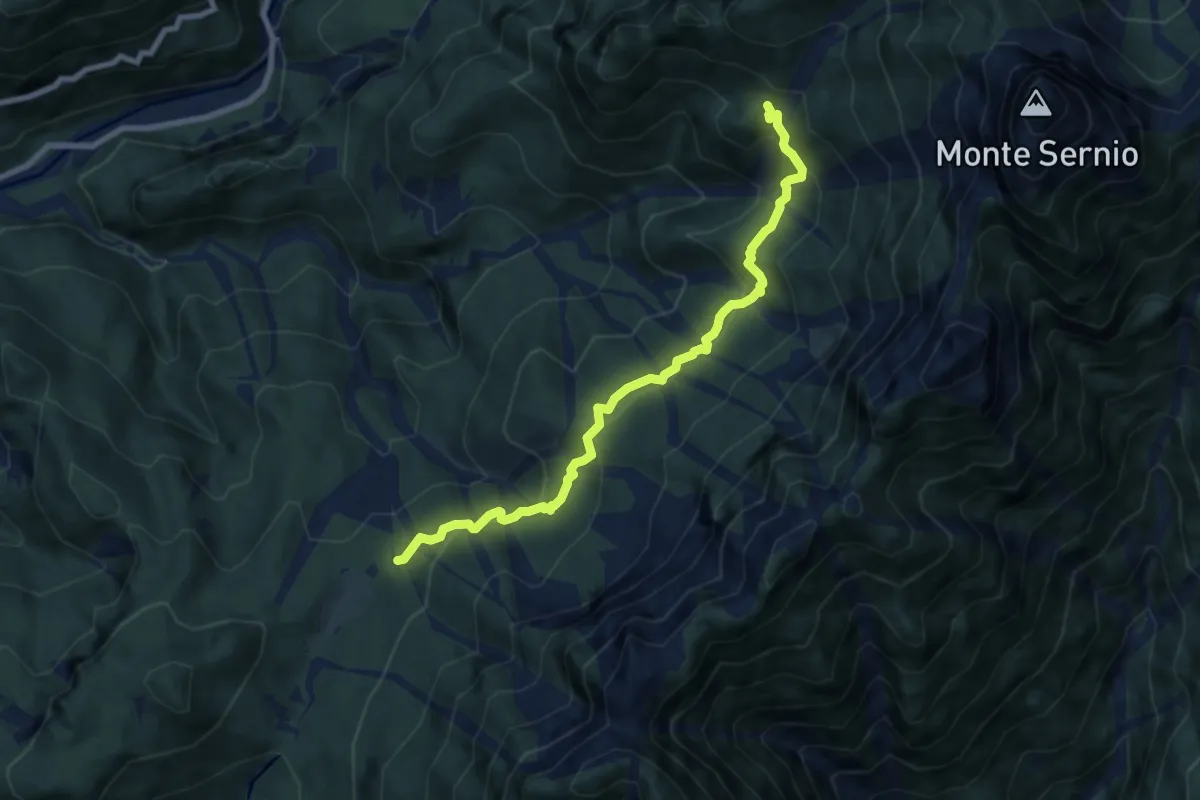
Medium · Trail
Pra di Lunge (quota 912 m) – Bivio sentiero n. 416 (quota 1290 m)
8.0 km · ↑ 490 m · 2 h 56 min · 11 km away
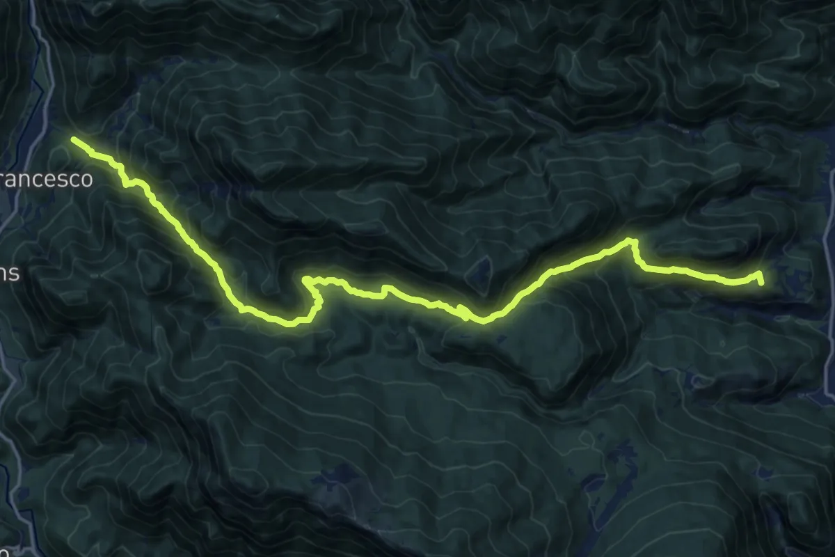
Demanding · Summit
Oncedis (quota 199 m) – Bivio sentiero n. 827 (quota 450 m)
20.8 km · ↑ 1409 m · 7 h 58 min · 11 km away
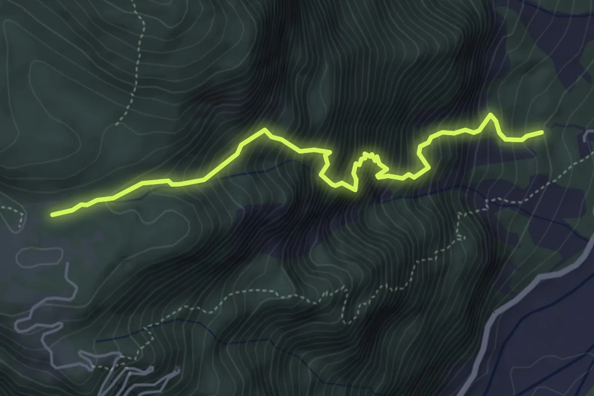
Expert · Trail
Via delle Lavare
5.1 km · ↑ 1017 m · 3 h 25 min · 11 km away
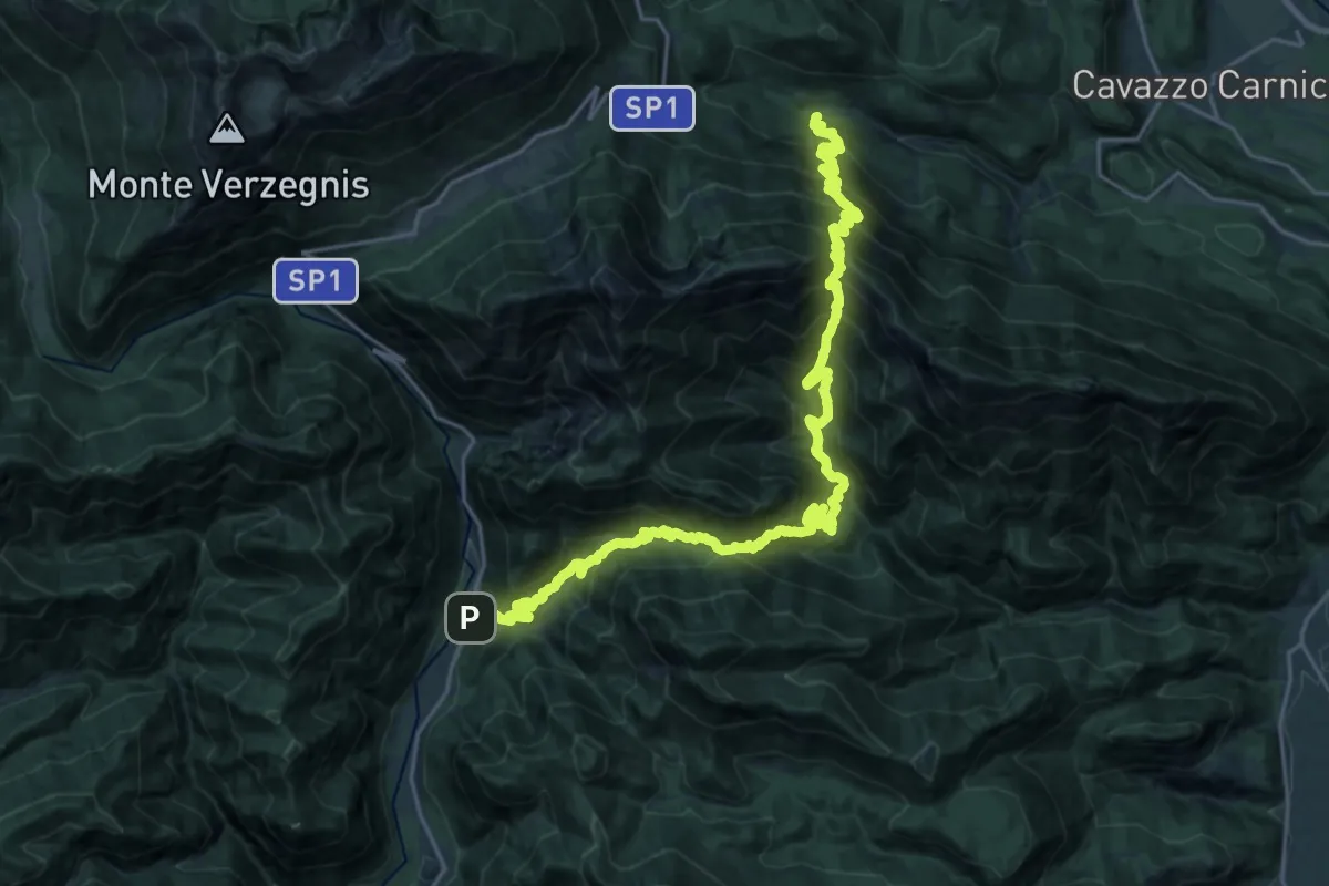
Demanding · Trail
Pusea (quota 504 m) (a 3 km da Chiaicis di Verzegnis) – S. Francesco (quota 395 m)
14.0 km · ↑ 1396 m · 6 h 29 min · 11 km away
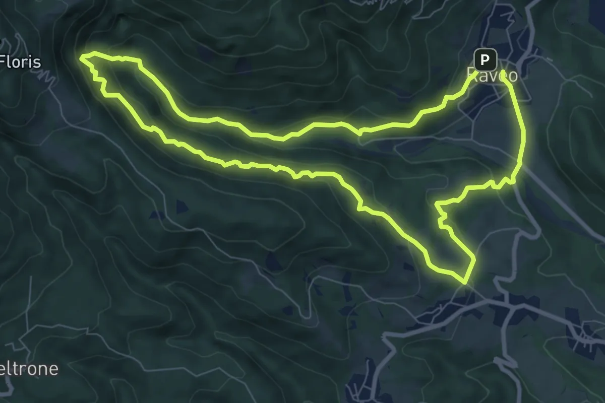
Medium · Trail
Anello Cascate - Cite di Cladonde
7.7 km · ↑ 416 m · 2 h 50 min · 12 km away
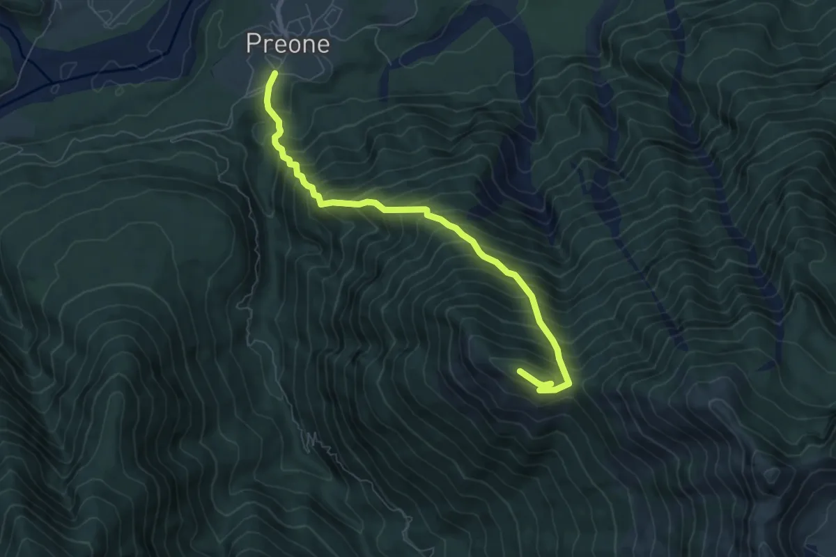
Demanding · Summit
Preone (quota 475 m) – Monte Rizzat (quota 1441 m)
7.3 km · ↑ 1013 m · 3 h 55 min · 12 km away
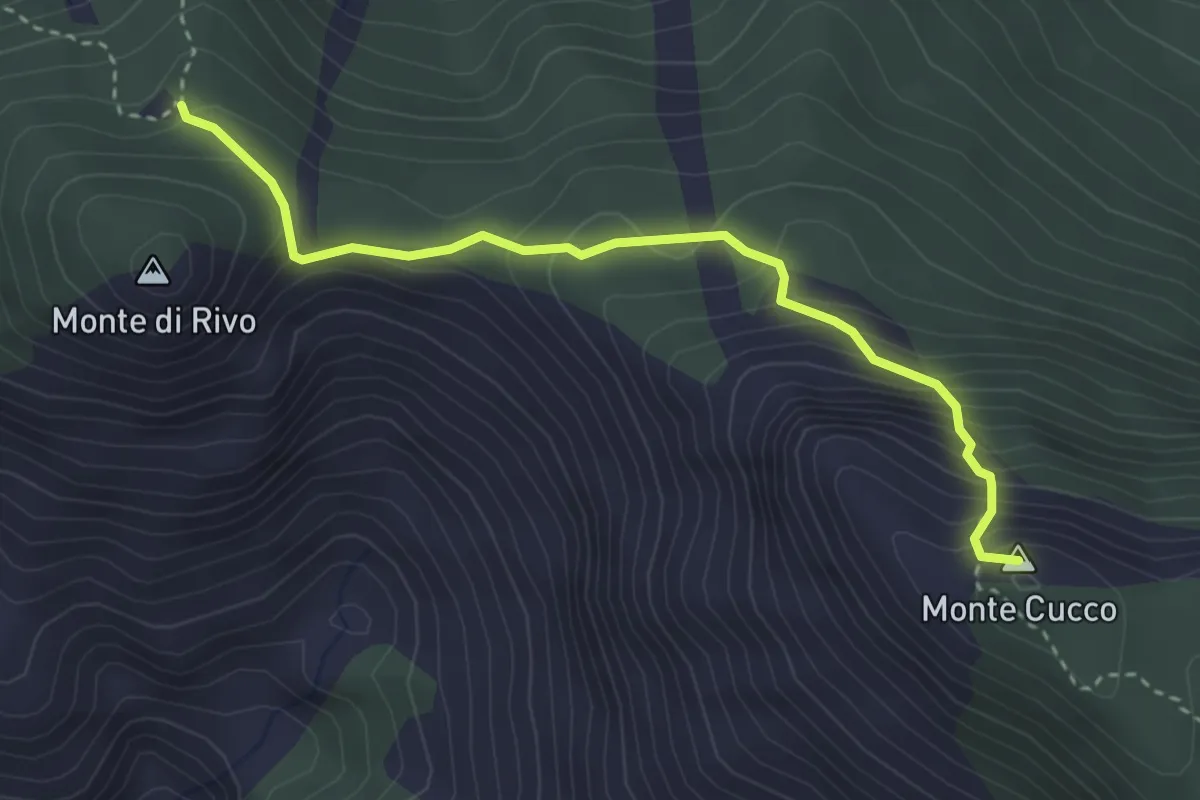
Medium · Summit
Casera Monte Cucco (quota 1445 m) – Bivio sentiero 409 (quota 1683 m)
3.4 km · ↑ 346 m · 1 h 33 min · 12 km away
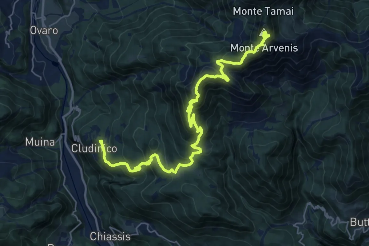
Demanding · Summit
Cludinico (quota 720 m) – Monte Arvenis (quota 1968 m)
23.1 km · ↑ 1646 m · 9 h 2 min · 12 km away
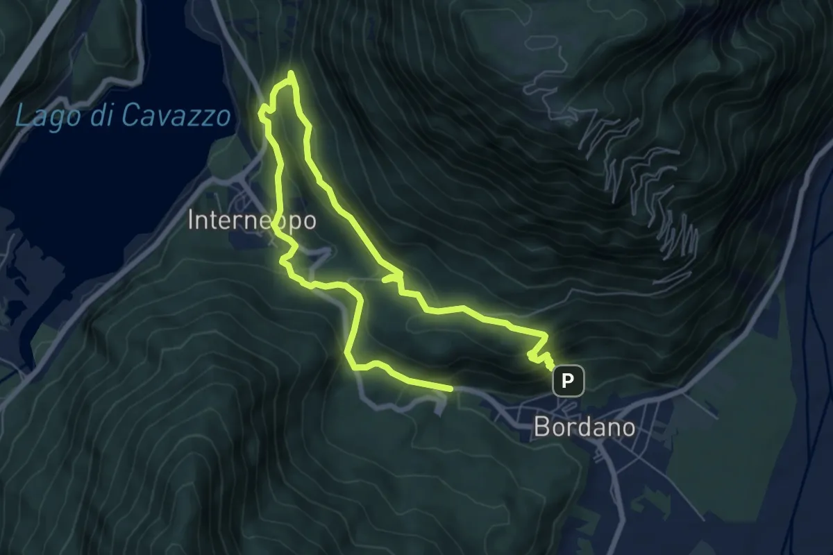
Medium · Trail
Sentiero delle farfalle
10.9 km · ↑ 648 m · 3 h 59 min · 12 km away
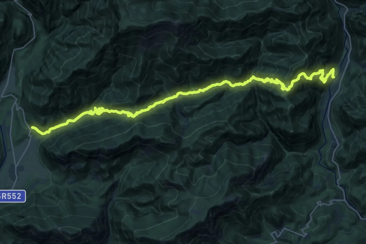
Demanding · Trail
Tramonti di Mezzo (quota 408 m) – San Francesco in Val d’Arzino (quota 390 m)
15.9 km · ↑ 1219 m · 6 h 37 min · 12 km away
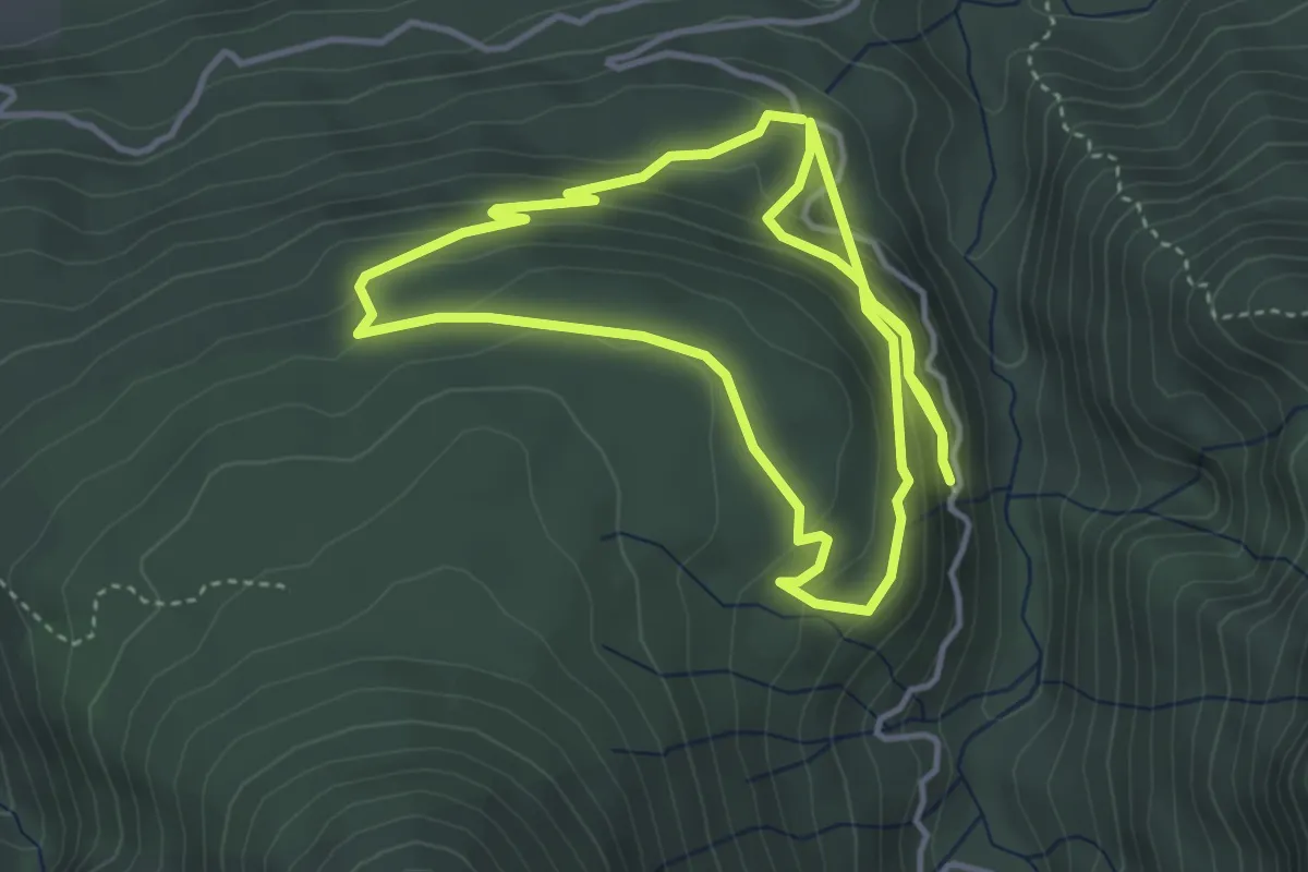
Medium · Trail
Sentiero Paleontologico “Stavoli Lunas”
8.1 km · ↑ 428 m · 2 h 50 min · 12 km away
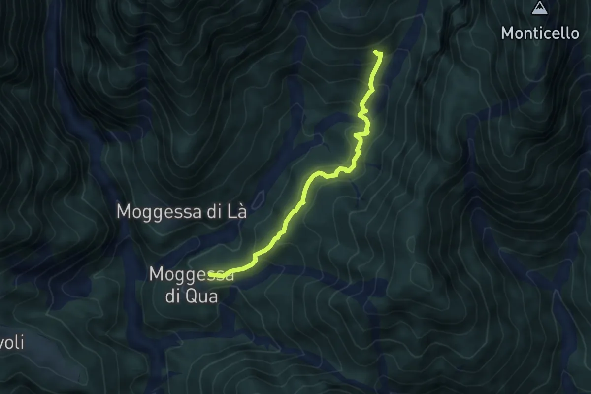
Medium · Trail
Troi dall'apparecchio
4.7 km · ↑ 328 m · 1 h 50 min · 12 km away
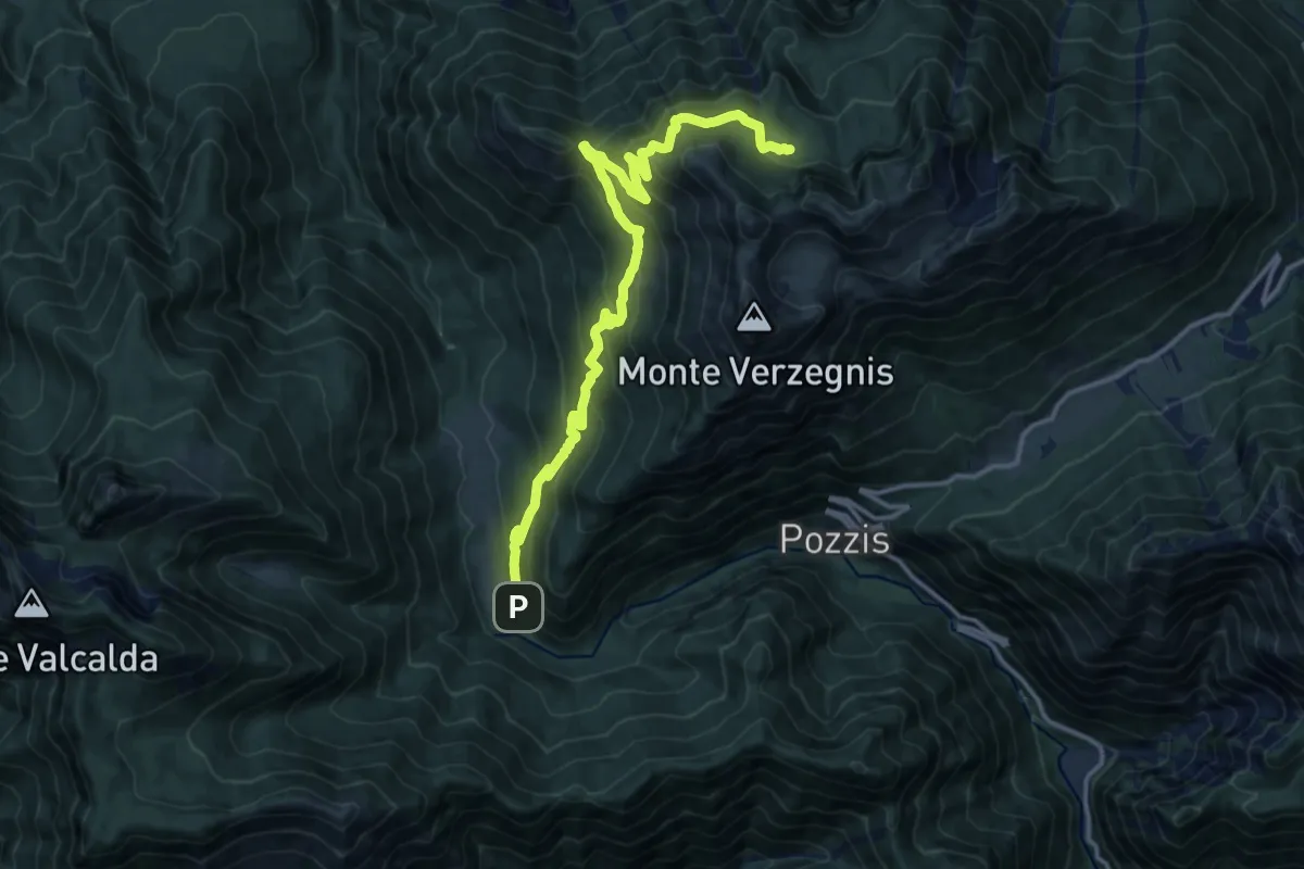
Demanding · Trail
Linder (quota 190 m) – Bivio sentiero n. 725 (quota 900 m)
15.3 km · ↑ 1184 m · 6 h 11 min · 12 km away
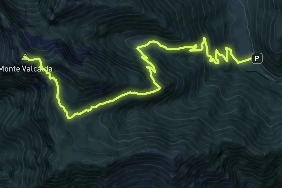
Demanding · Summit
Sentiero Ursula Nagel
15.4 km · ↑ 1201 m · 6 h 15 min · 12 km away
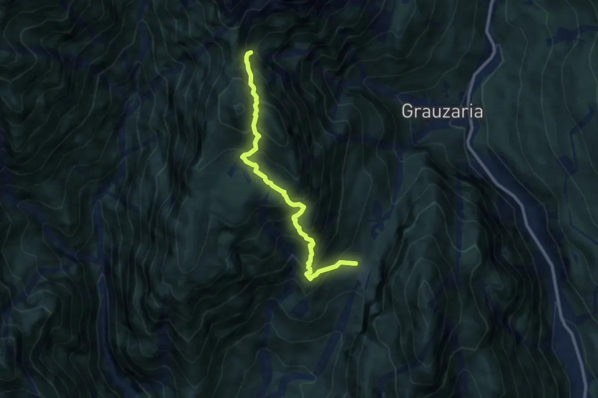
Demanding · Trail
Val di Monticello Borgo di Mezzo (quota 832 m) – Bivio sentiero n. 444 (quota 1350 m)
7.0 km · ↑ 947 m · 3 h 43 min · 13 km away
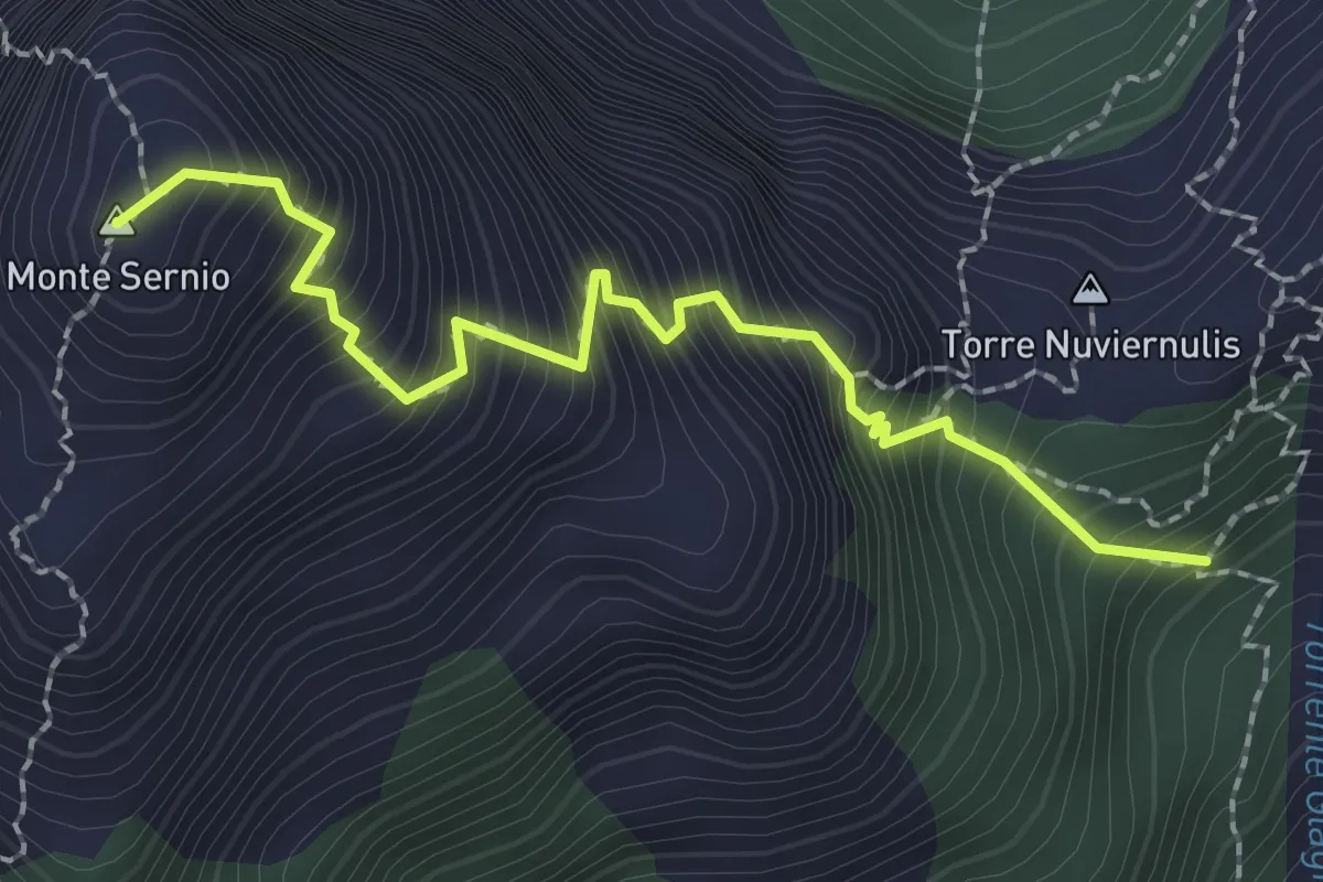
Expert · Summit
Via normale Monte Sernio
2.3 km · ↑ 512 m · 1 h 39 min · 13 km away
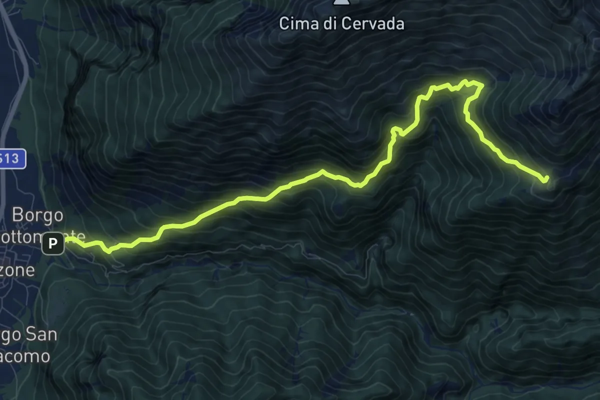
Demanding · Trail
Venzone – Borgo Pragiel (quota 250 m) – Casera Ungarina (quota 1296 m)
12.1 km · ↑ 1408 m · 5 h 54 min · 13 km away
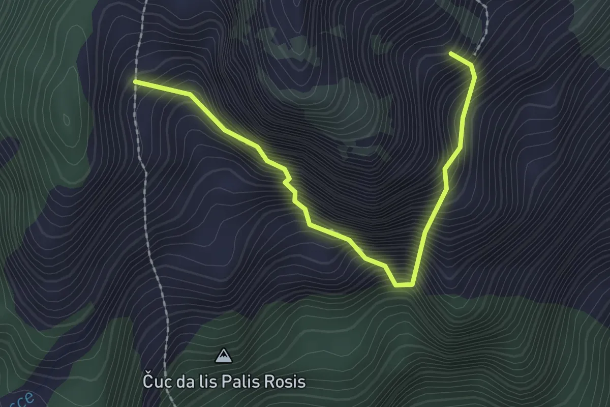
Demanding · Summit
via ferrata Cengle dal Bec
2.2 km · ↑ 491 m · 1 h 35 min · 13 km away
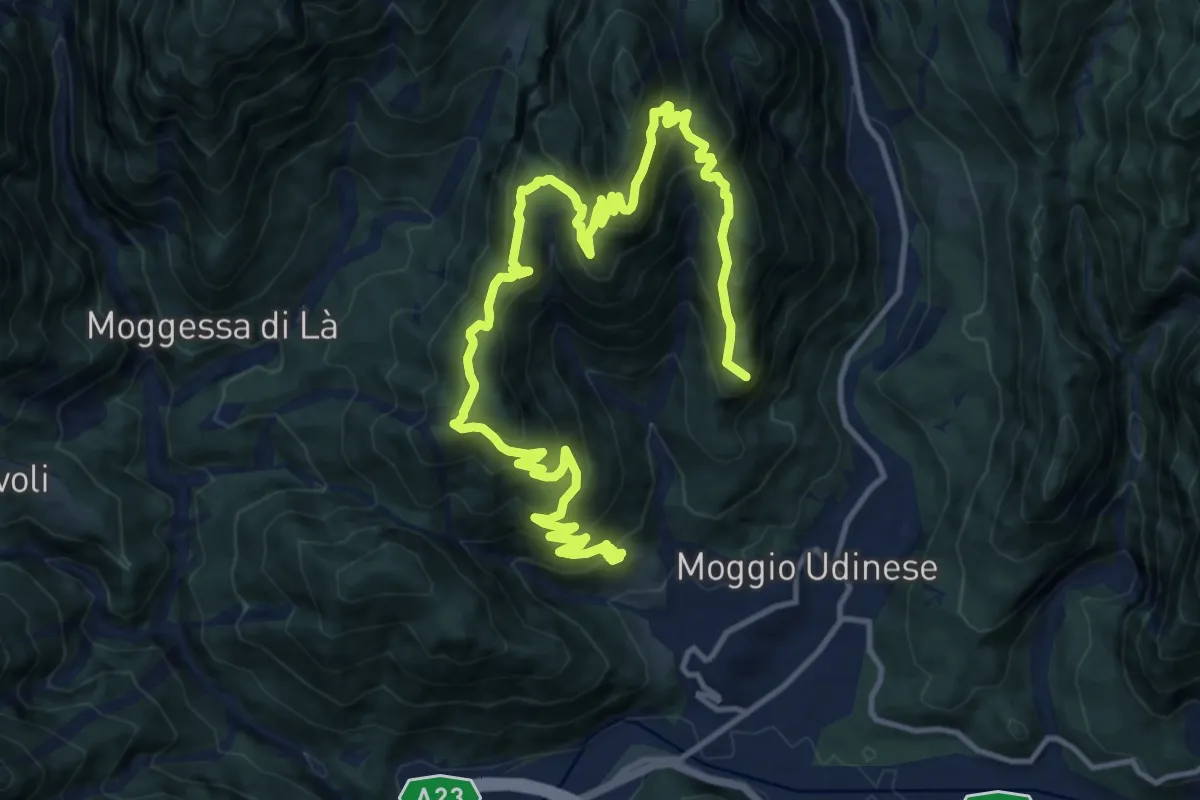
Demanding · Summit
Moggio di Sopra Borgo Travasans (quota 450 m) – Borgo Costa e Borgo Travasans (quota 413 m)
18.8 km · ↑ 1579 m · 7 h 52 min · 13 km away
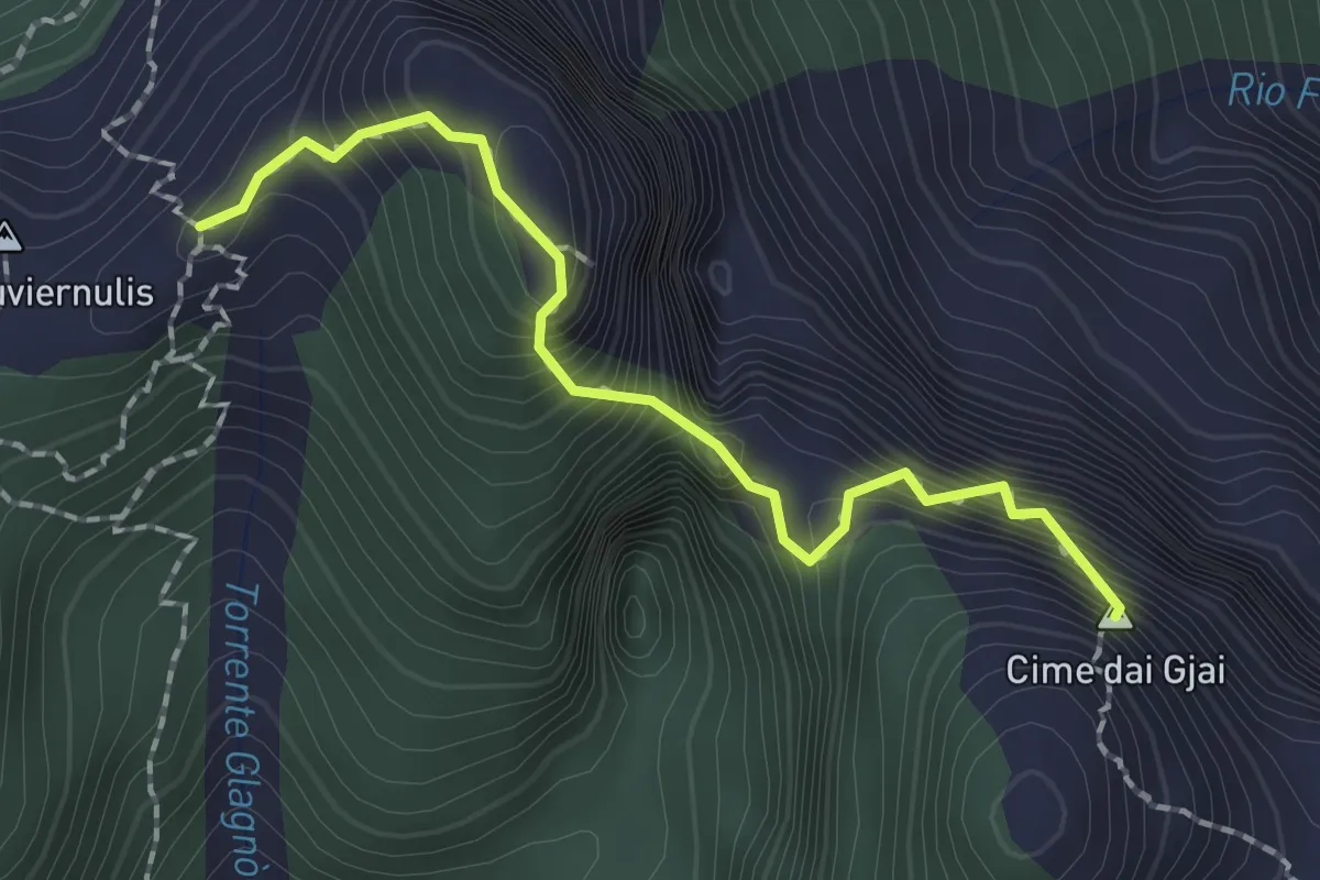
Expert · Summit
Sentiero Piero Nobile
1.9 km · ↑ 342 m · 1 h 11 min · 13 km away
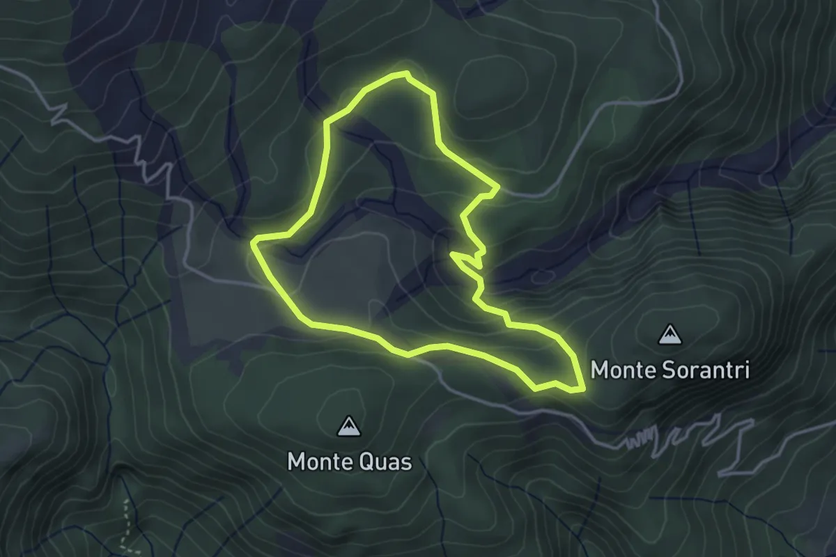
Easy · Trail
Anello Cascate di Mulignòn
3.4 km · ↑ 126 m · 1 h 7 min · 13 km away
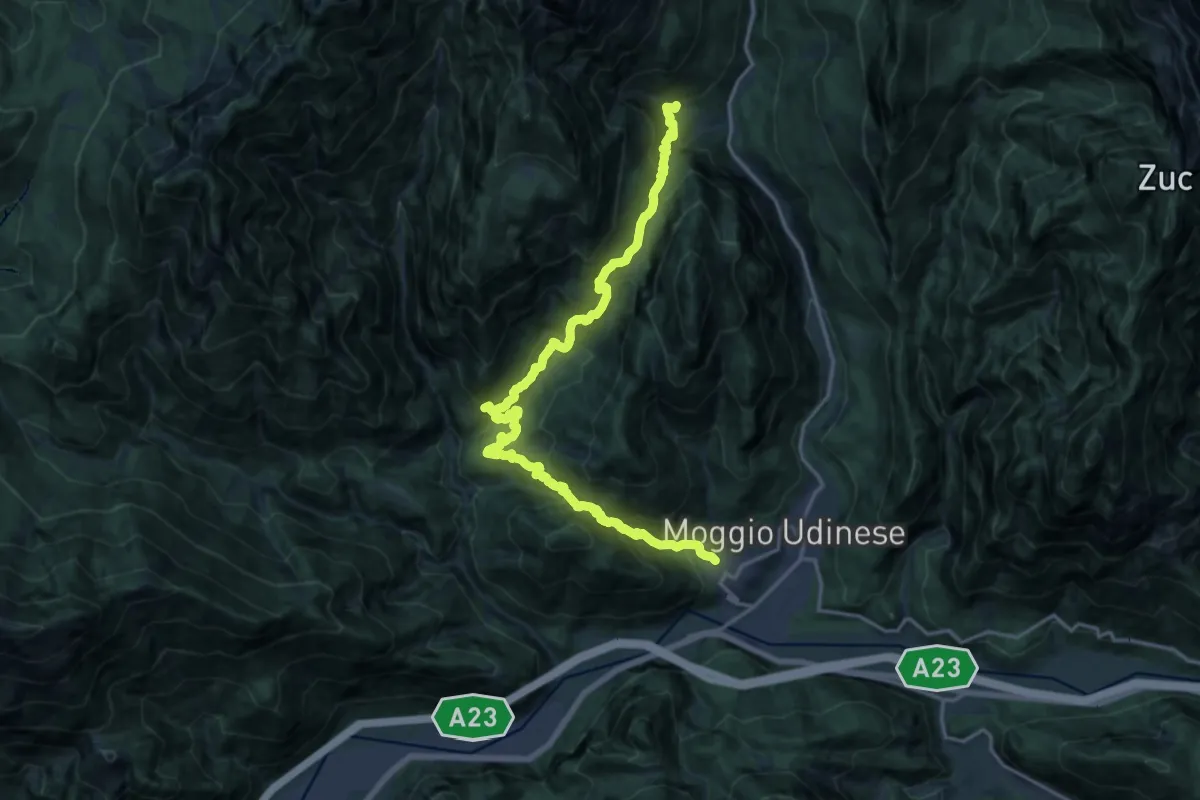
Demanding · Trail
Moggio di Sopra località Costa (quota 420 m) – Frazione Grauzaria (quota 516 m)
9.9 km · ↑ 876 m · 4 h 16 min · 13 km away
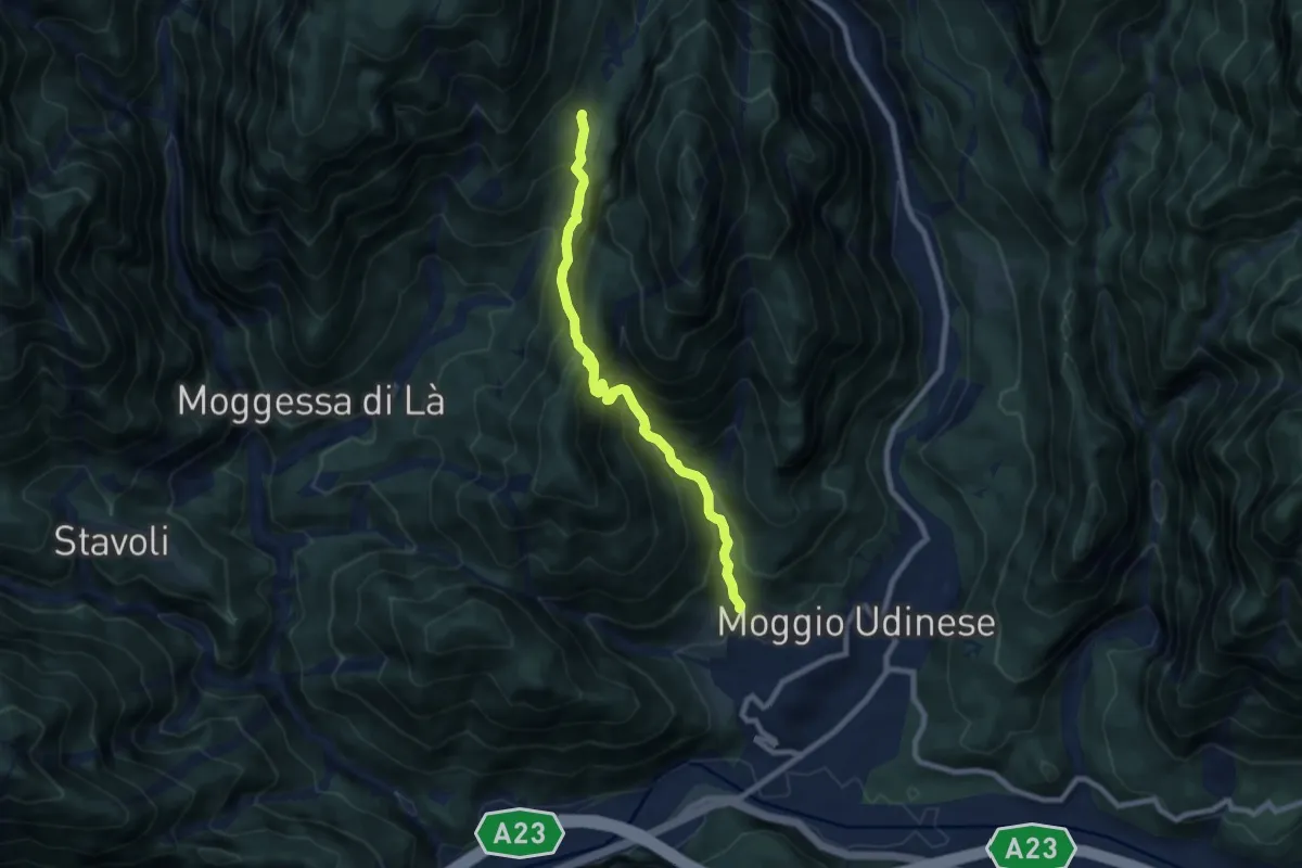
Demanding · Trail
Moggio di Sopra, Borgo Travasans (quota 413 m) – Borgo di Mezzo (quota 832 m)
7.9 km · ↑ 837 m · 3 h 40 min · 13 km away
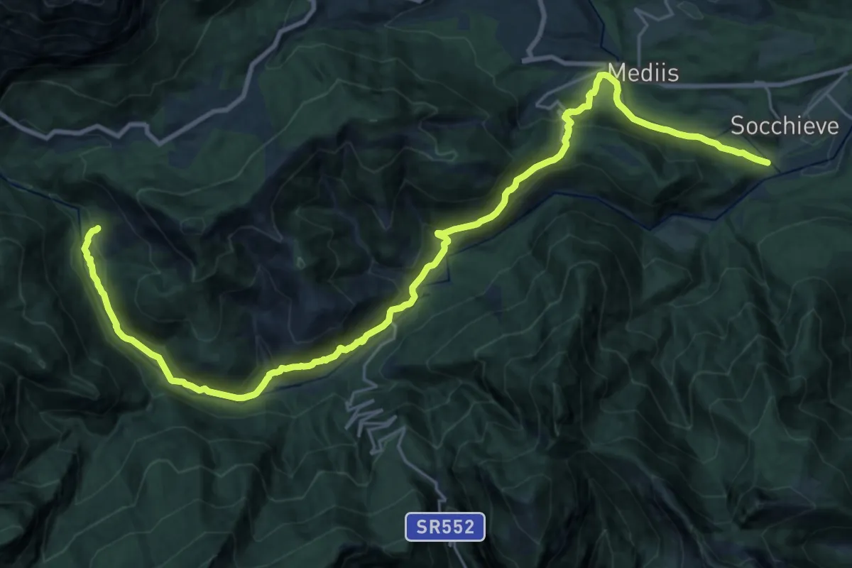
Medium · Trail
Cammino delle Pievi - Tappa 08 Variante
14.1 km · ↑ 733 m · 5 h 1 min · 13 km away
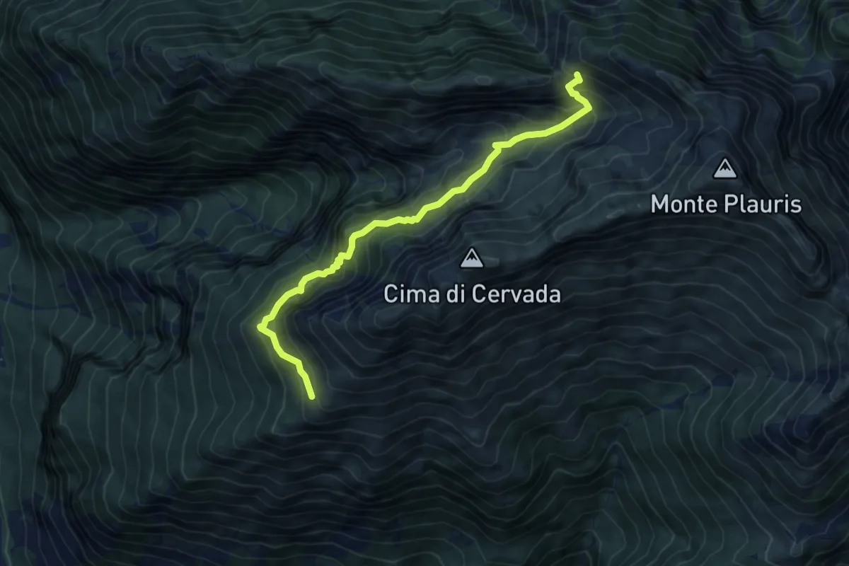
Medium · Trail
Bivacco Coi (quota 1308 m) – Bivio sentiero 701 (quota 1600 m)
6.5 km · ↑ 681 m · 3 h · 13 km away
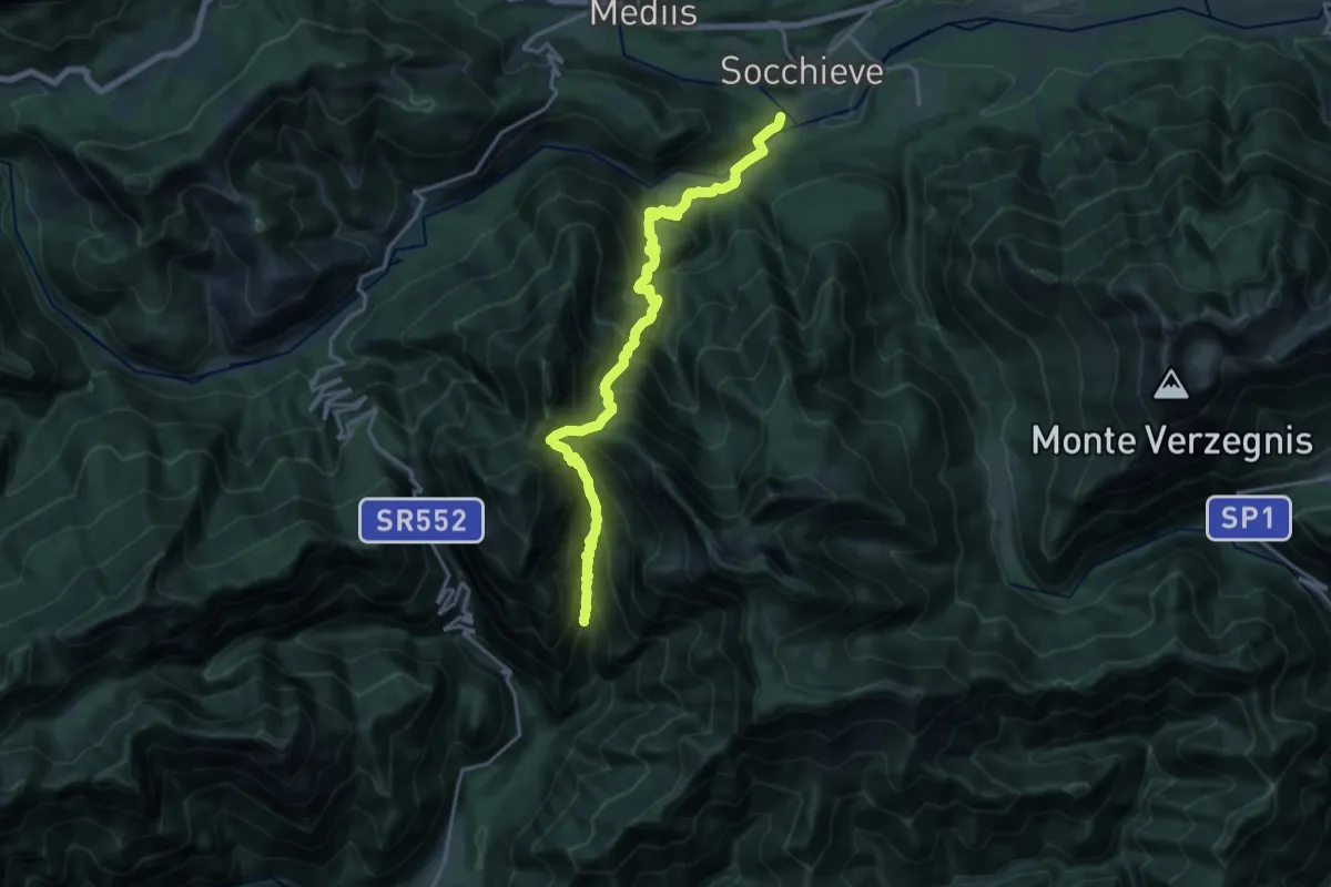
Demanding · Trail
Socchieve (quota 405 m) – Fontanon del Toff (bivio sentiero n. 829) (quota 725 m)
9.4 km · ↑ 1166 m · 4 h 42 min · 13 km away
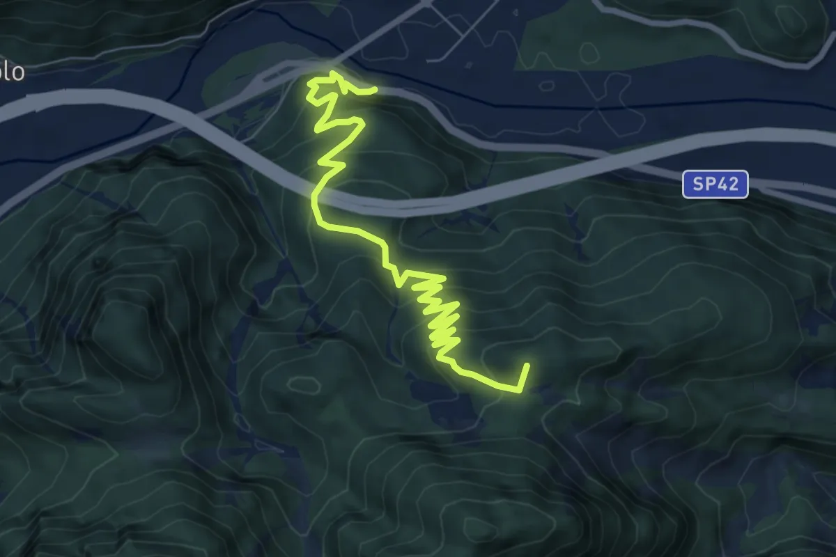
Medium · Summit
Moggio Udinese (quota 306 m) – Stalli Stivane (quota 747 m)
8.3 km · ↑ 589 m · 3 h 14 min · 13 km away
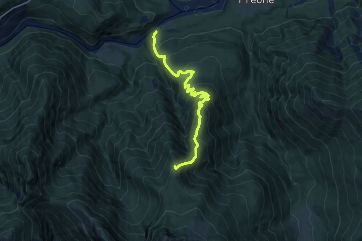
Demanding · Summit
Socchieve (quota 410 m) – Casera Teglara – Bivio sentiero n. 826 (quota 1573 m)
10.5 km · ↑ 1002 m · 4 h 39 min · 14 km away
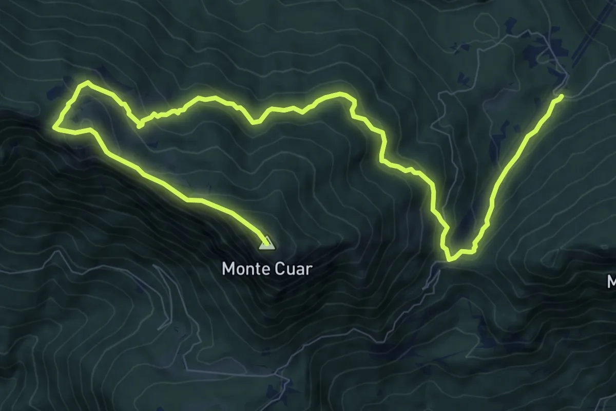
Demanding · Summit
Stavoli Grignes (quota 720 m) – Monte Cuâr (quota 1478 m)
14.6 km · ↑ 1118 m · 5 h 53 min · 14 km away
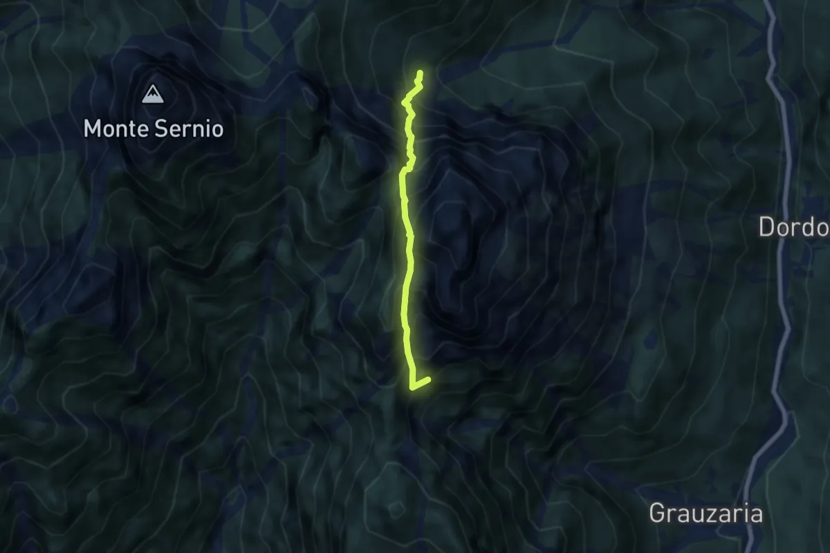
Expert · Summit
Rifugio Grauzaria (quota 1250 m) – Bivio sentiero n. 418a (quota 1350 m)
4.6 km · ↑ 1071 m · 3 h 25 min · 14 km away
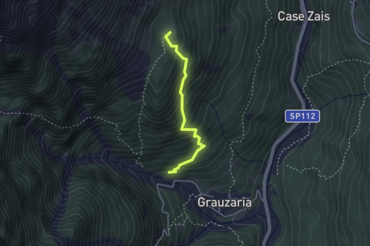
Easy · Summit
Sopra frazione Grauzaria (quota 540 m) – Bivio sentiero n. 437 (quota 986 m)
2.6 km · ↑ 317 m · 1 h 18 min · 14 km away
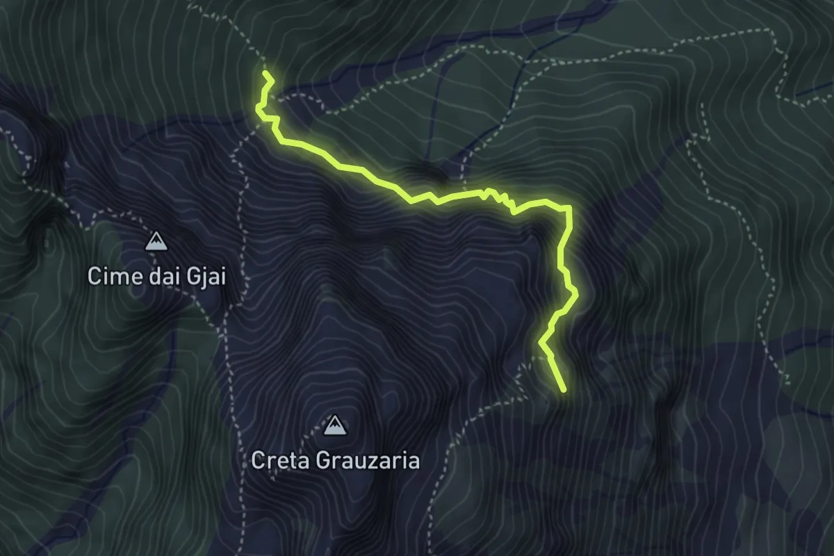
Demanding · Summit
Rifugio Grauzaria (quota 1250 m) – Bivacco Feruglio (quota 1700 m)
3.7 km · ↑ 603 m · 2 h 11 min · 14 km away
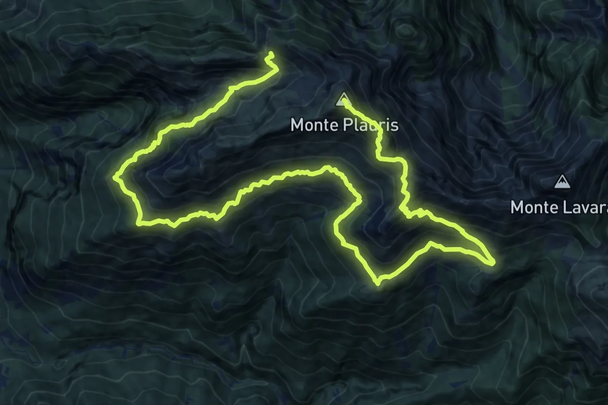
Demanding · Summit
Percorso botanico del monte Plauris
25.7 km · ↑ 2433 m · 11 h 20 min · 14 km away
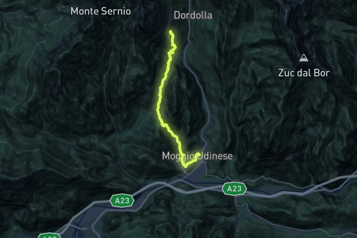
Demanding · Summit
Hst. Moggio Udinese Centro – Rif. Grauzaria
18.5 km · ↑ 1645 m · 7 h 56 min · 14 km away
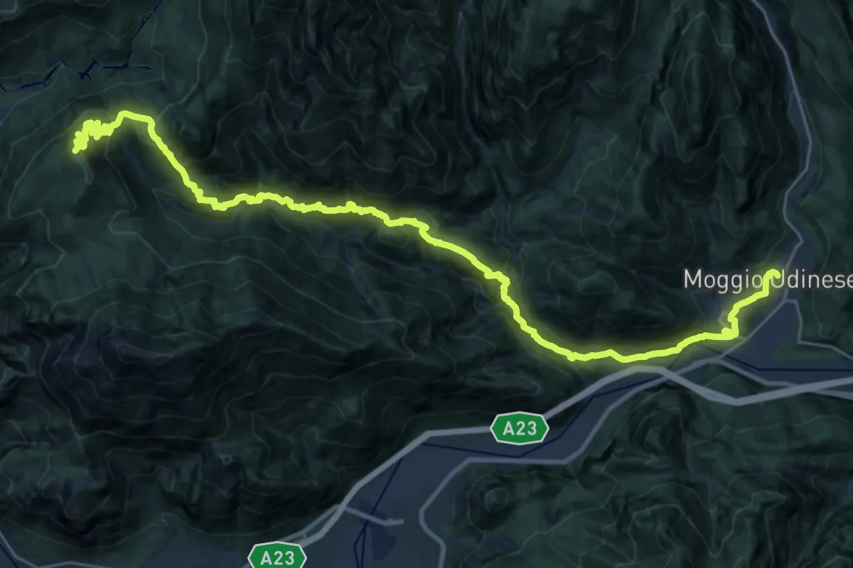
Demanding · Summit
Hst. Moggio Udinese/Via Roma – Tolmezzo/Albergo Roma
30.4 km · ↑ 2140 m · 11 h 49 min · 14 km away
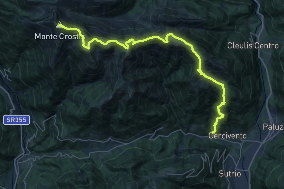
Demanding · Summit
Cercivento di Sopra (quota 619 m) – Monte Crostis (quota 2250 m)
29.5 km · ↑ 2337 m · 12 h 2 min · 14 km away
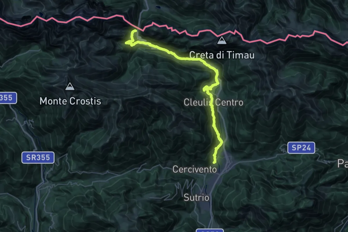
Demanding · Trail
Via Julia augusta
15.5 km · ↑ 1311 m · 6 h 20 min · 14 km away
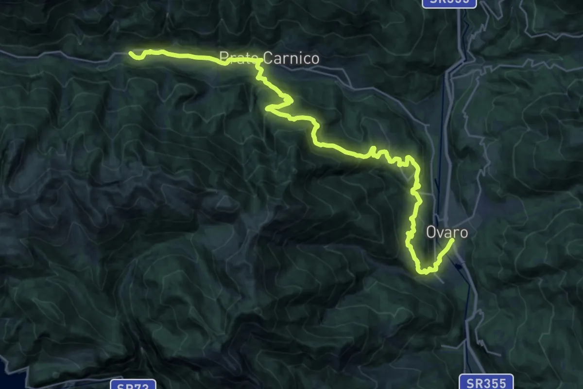
Demanding · Trail
Hst. Pesariis Bivio Lavaret – Ovaro/Alpedale
15.9 km · ↑ 941 m · 5 h 54 min · 14 km away
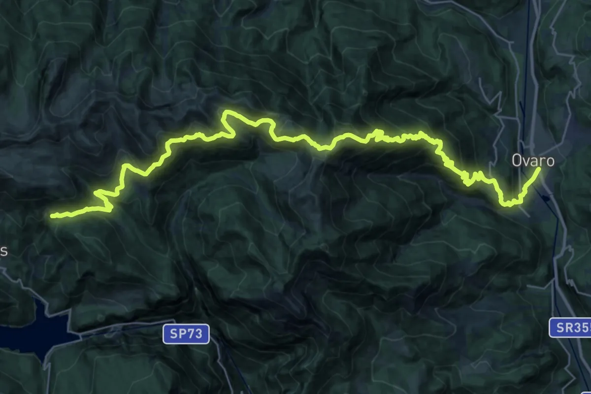
Demanding · Summit
JK22
18.6 km · ↑ 1674 m · 7 h 50 min · 14 km away