Trails near Tolmezzo
115 hikes starting within 15 km, nearest first.
Nearest first, page 3 of 3
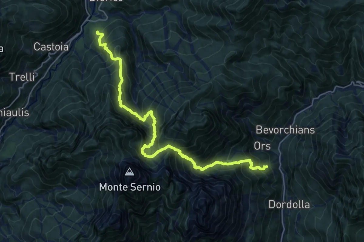
Demanding · Trail
Strada Provinciale Val Aupa Località Nanghet (quota 619 m) – Frazione Dioor di Paularo (quota 659 m)
9.6 km · ↑ 1059 m · 4 h 40 min · 14 km away
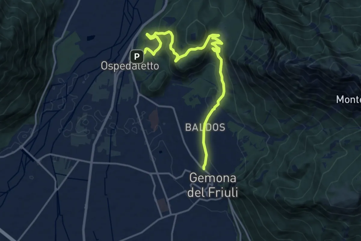
Medium · Trail
Romea Strata in Italia - Tappa RSIT04var
13.8 km · ↑ 607 m · 4 h 34 min · 14 km away
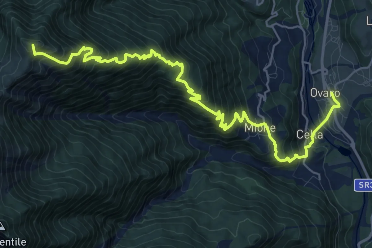
Demanding · Summit
Via Alpina Yellow B14
17.6 km · ↑ 1493 m · 7 h 23 min · 14 km away
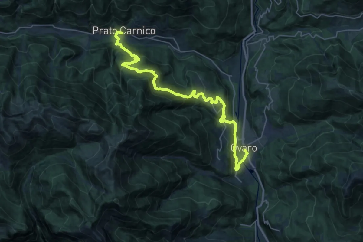
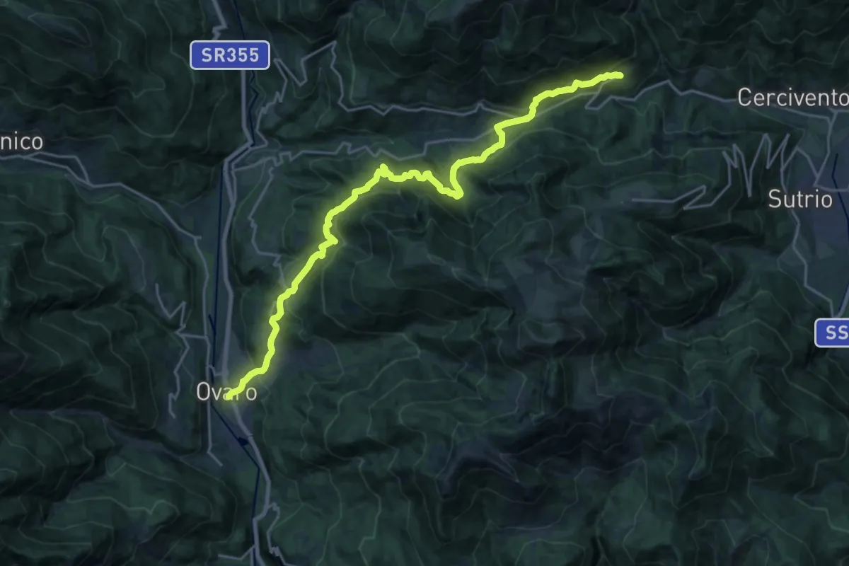
Medium · Trail
Cammino delle Pievi - Tappa 14
11.9 km · ↑ 722 m · 4 h 29 min · 14 km away
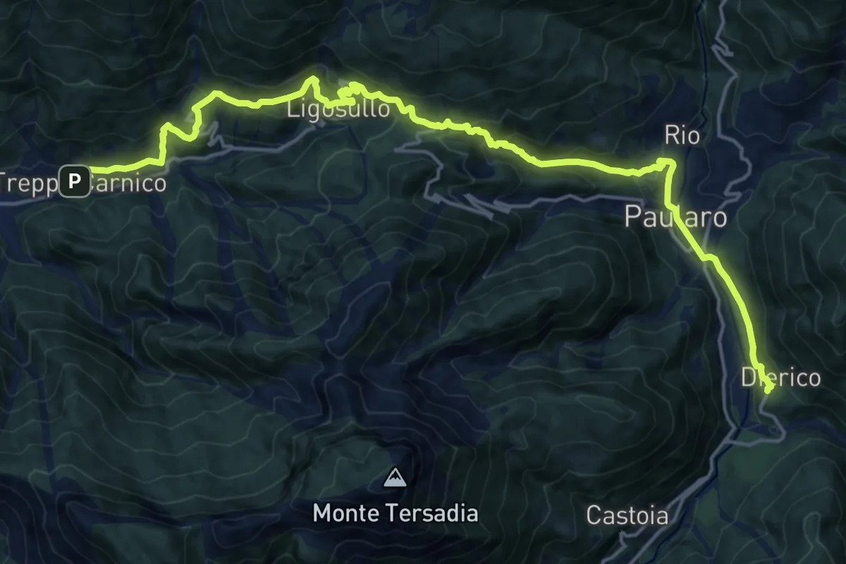
Demanding · Trail
Cammino delle Pievi - Tappa 15
11.6 km · ↑ 884 m · 4 h 37 min · 14 km away
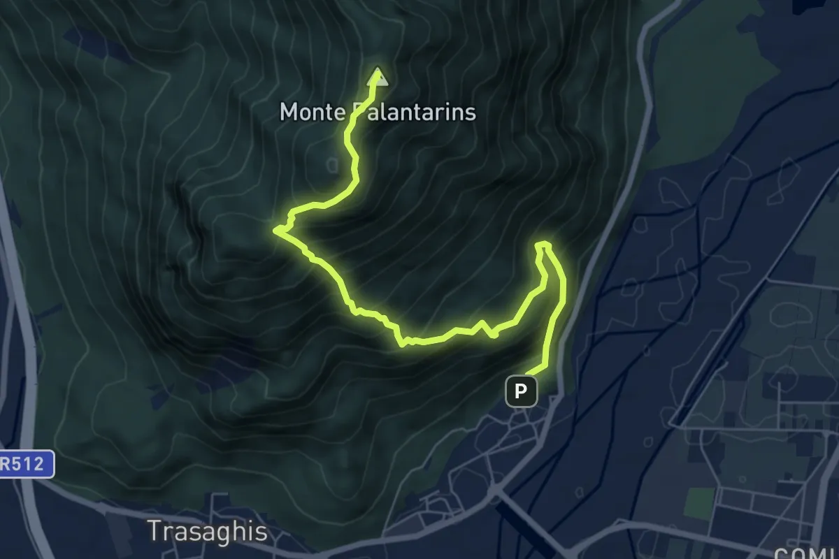
Demanding · Trail
Cammino delle Pievi - Tappa 18
21.1 km · ↑ 1086 m · 7 h 20 min · 14 km away
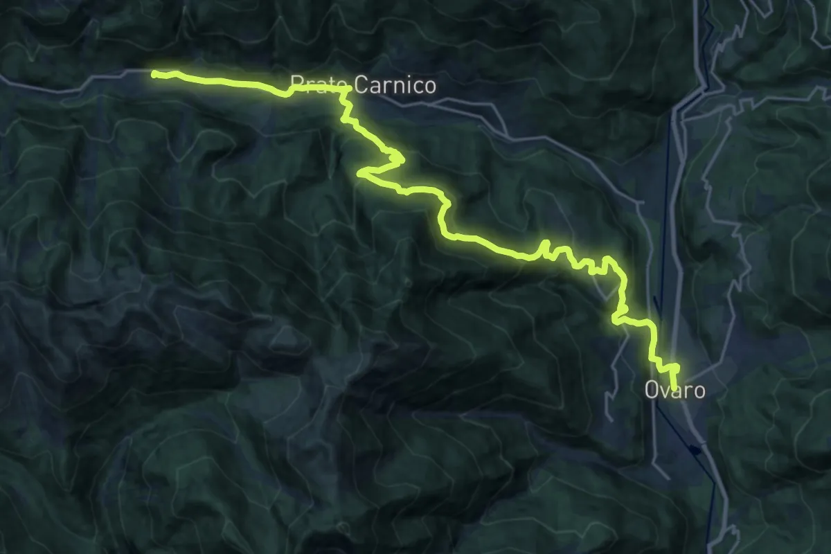
Demanding · Summit
Braulins (quota 210 m) – Interneppo (quota 270 m)
7.1 km · ↑ 904 m · 3 h 38 min · 14 km away
Medium · Trail
Ovaro-Ovasta-Prato Carnico-Pesarïs
13.3 km · ↑ 769 m · 4 h 52 min · 14 km away
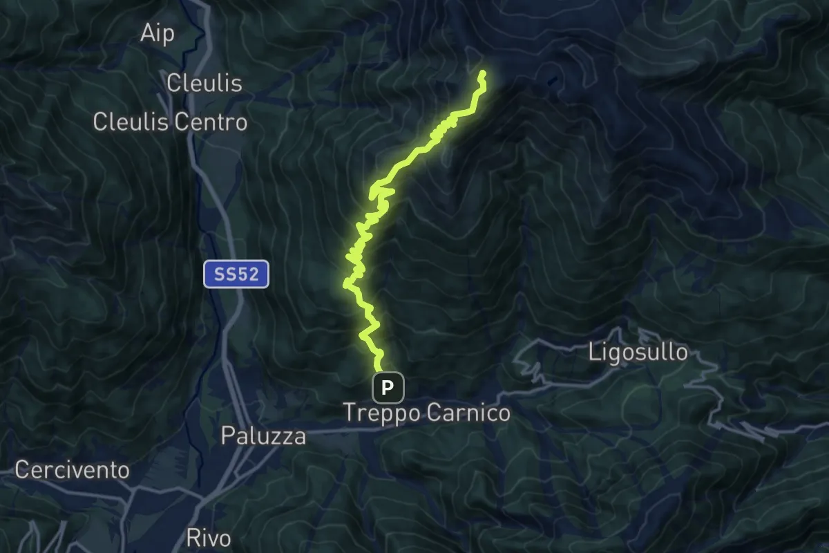
Demanding · Trail
Treppo Carnico – Zenodis (quota 680 m) – Monte Paularo (quota 2043 m)
14.3 km · ↑ 1412 m · 6 h 26 min · 15 km away
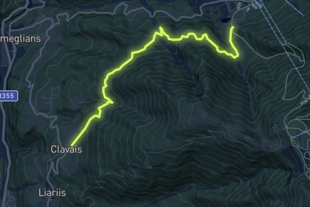
Medium · Trail
La Clavajana
10.7 km · ↑ 713 m · 4 h 4 min · 15 km away
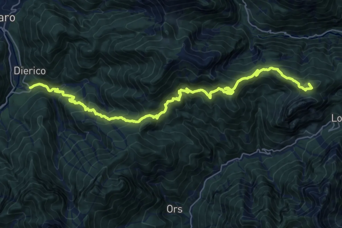
Demanding · Summit
Frazione Frattis (quota 900 m) – Frazione Diérico (quota 659 m)
25.0 km · ↑ 1557 m · 9 h 17 min · 15 km away
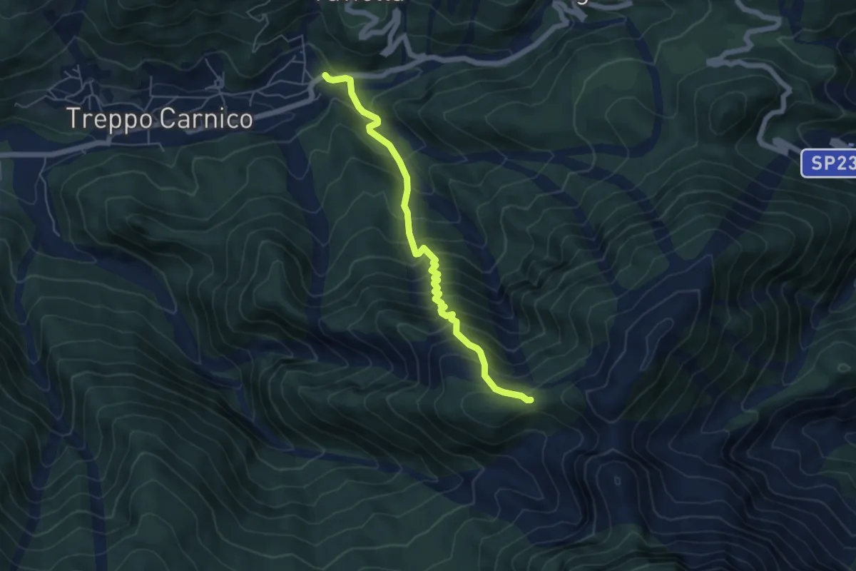
Medium · Trail
Treppo Carnico (quota 720 m) – Bivio sentiero n. 409 (quota 1400 m)
5.3 km · ↑ 677 m · 2 h 43 min · 15 km away
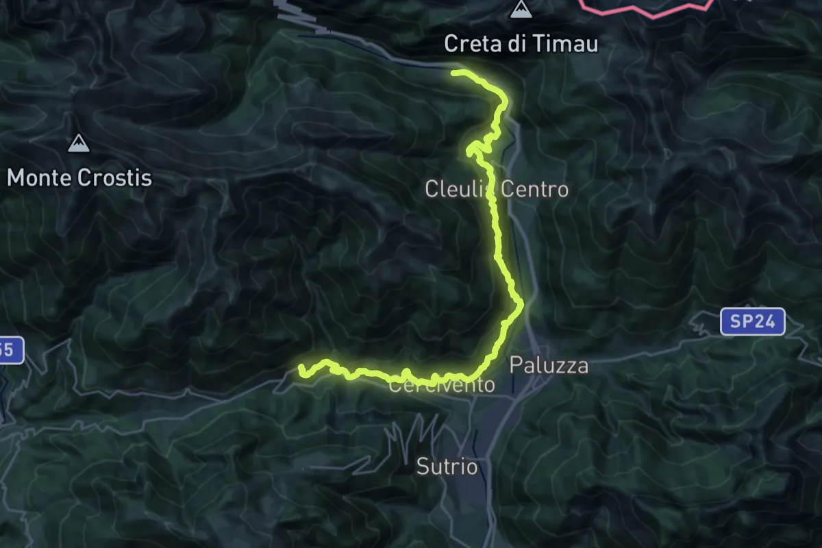
Medium · Trail
Cammino delle Pievi - Tappa 16
14.3 km · ↑ 775 m · 5 h 17 min · 15 km away
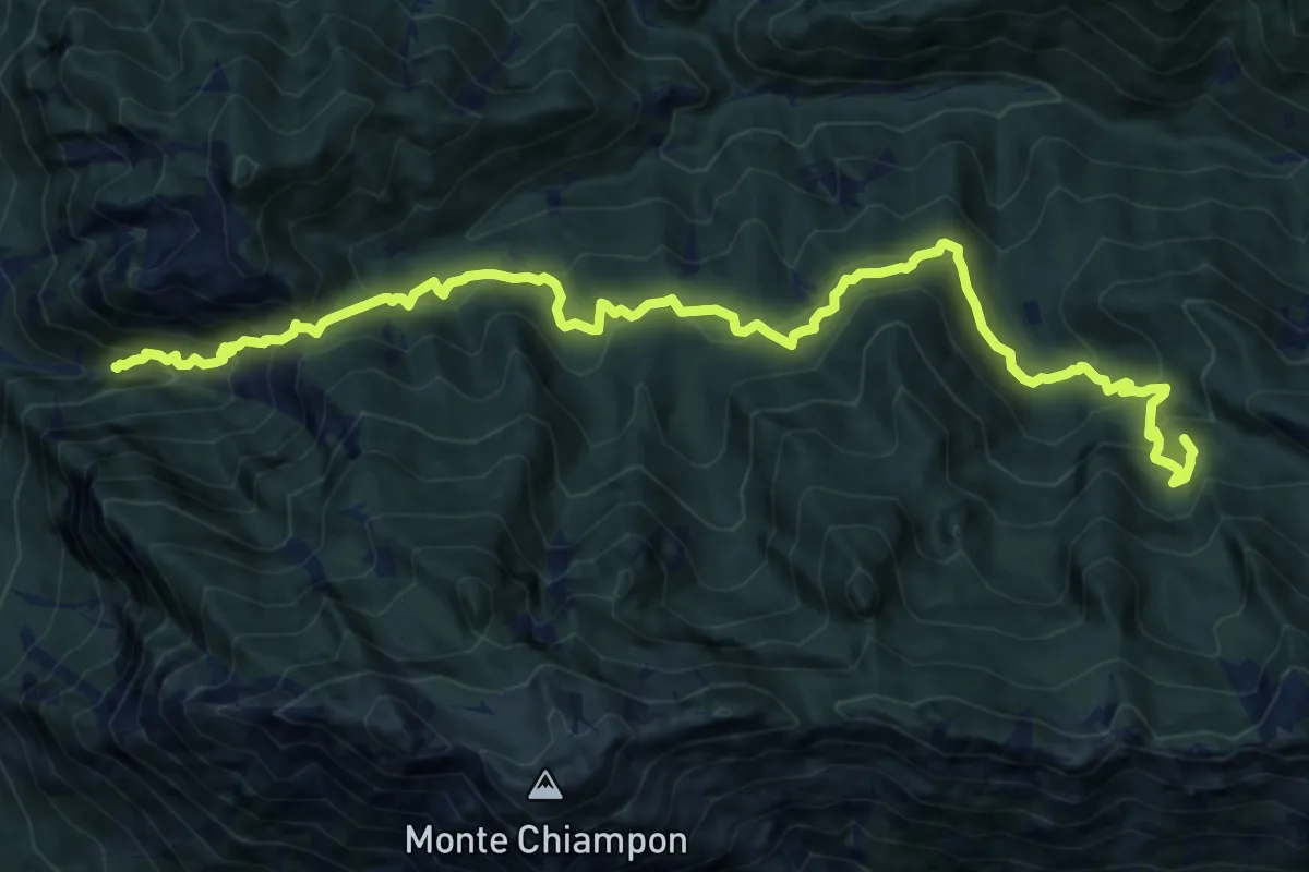
Demanding · Summit
Venzone – Rivoli Bianchi (quota 364 m) – Forcella Tacia (quota 1089 m)
15.9 km · ↑ 1279 m · 6 h 32 min · 15 km away
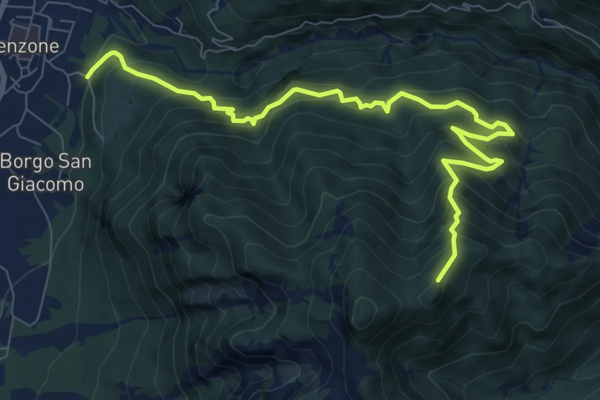
Demanding · Trail
Sentiero Monte Bedede
8.9 km · ↑ 986 m · 4 h 14 min · 15 km away
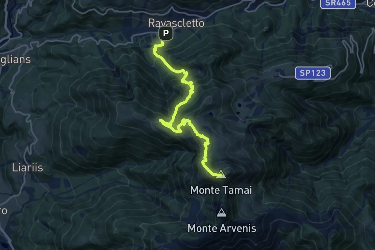
Demanding · Summit
Ravascletto (quota 963 m) – Monte Arvenis (quota 1968 m)
14.3 km · ↑ 1157 m · 5 h 53 min · 15 km away
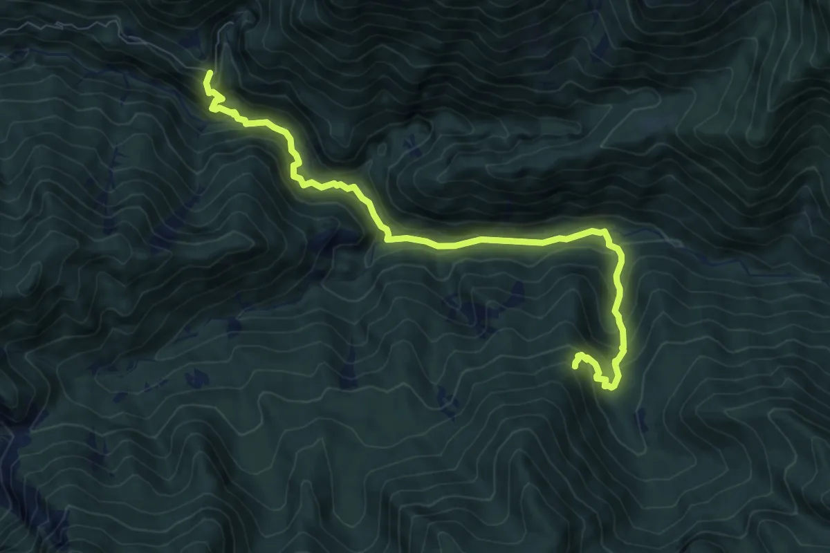
Medium · Trail
Rotabile Val Venzonassa (curva Del Gran Rio 3.5 km da Venzone) (quota 525 m) – Bivio sentiero n. 708 (quota 800 m)
9.1 km · ↑ 692 m · 3 h 39 min · 15 km away
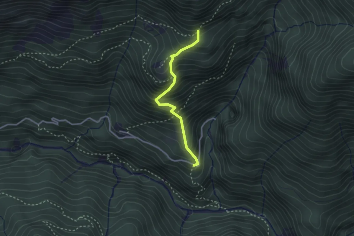
Medium · Trail
Borgo Costa (quota 534 m) – Bivio sentiero n. 705 (quota 885 m)
2.3 km · ↑ 384 m · 1 h 23 min · 15 km away
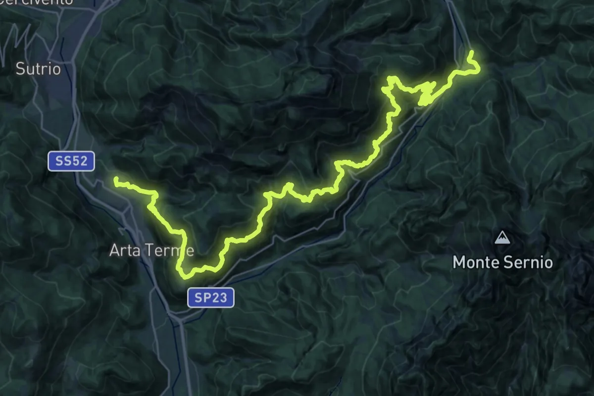
Demanding · Trail
Cammino delle Pievi - Tappa 19
21.0 km · ↑ 1397 m · 8 h 19 min · 15 km away