Trails near Trento
166 hikes starting within 15 km, nearest first.
Nearest first, page 1 of 4
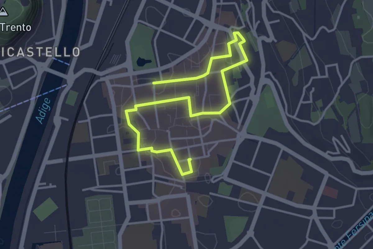
Easy · Trail
Intrighi e misteri ai tempi del Concilio
4.6 km · ↑ 18 m · 1 h 7 min · under 1 km away
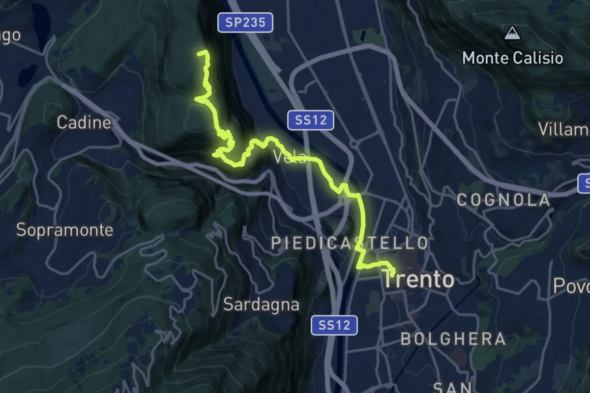
Medium · Summit
Via Vigilius - Tappa 8
16.0 km · ↑ 786 m · 5 h 29 min · under 1 km away
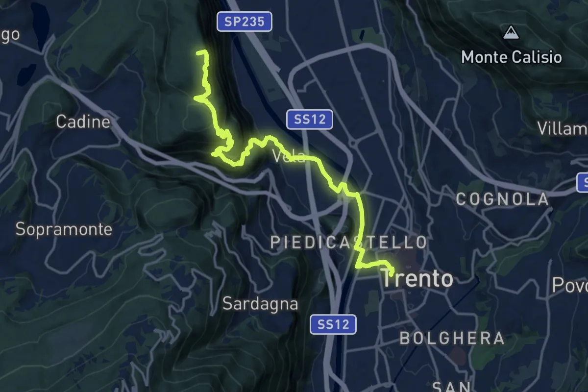
Demanding · Summit
Sentiero San Vili alto - Tappa 1
16.0 km · ↑ 786 m · 5 h 29 min · under 1 km away
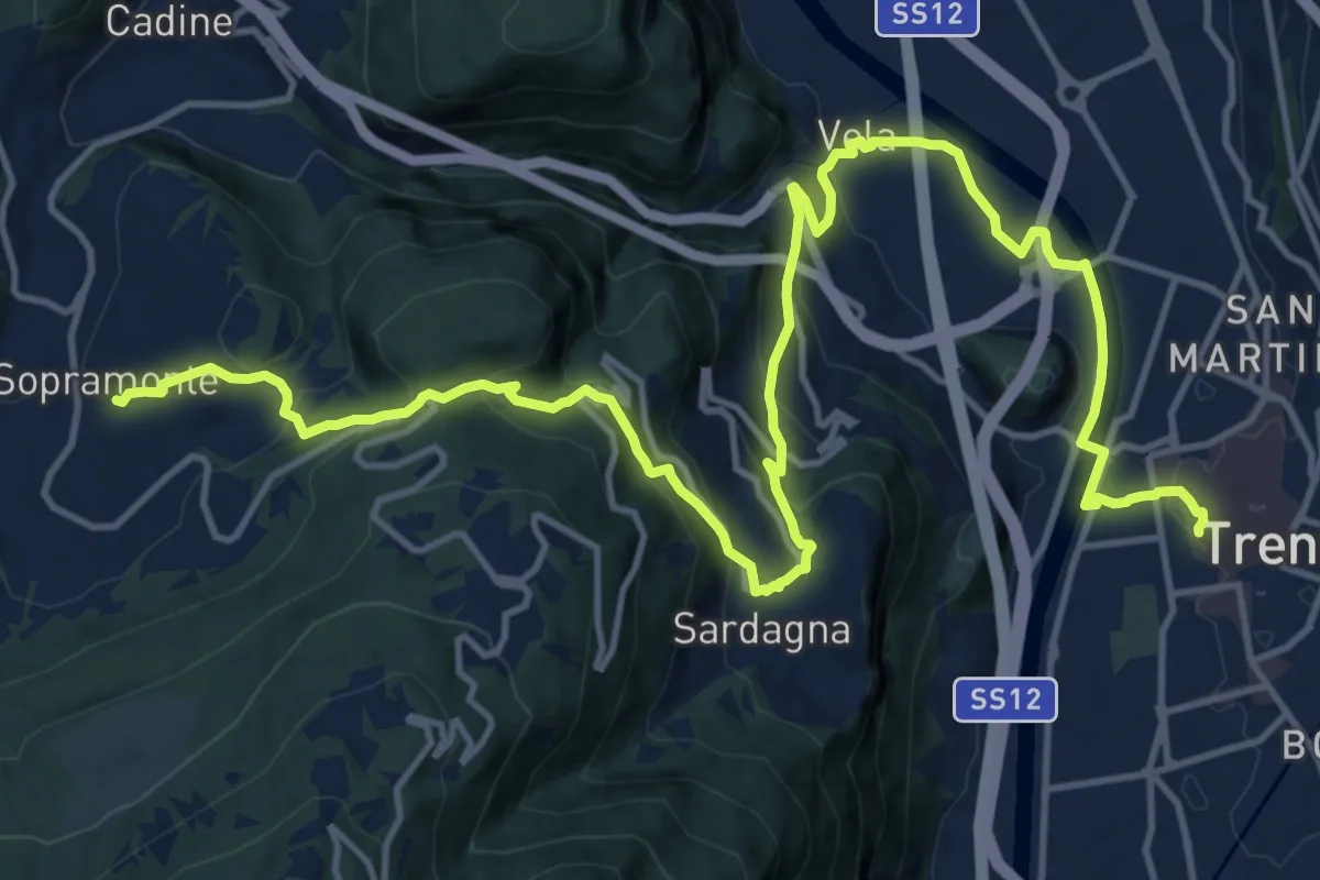
Demanding · Trail
Sentiero San Vili basso - Tappa 1
19.7 km · ↑ 823 m · 6 h 26 min · under 1 km away
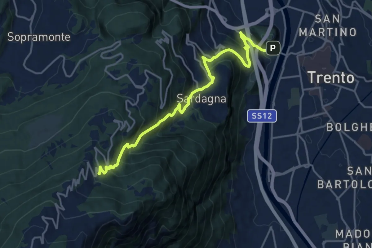
Demanding · Trail
Sentiero Trento nostra e via direttissima
12.6 km · ↑ 1084 m · 5 h 20 min · 1 km away
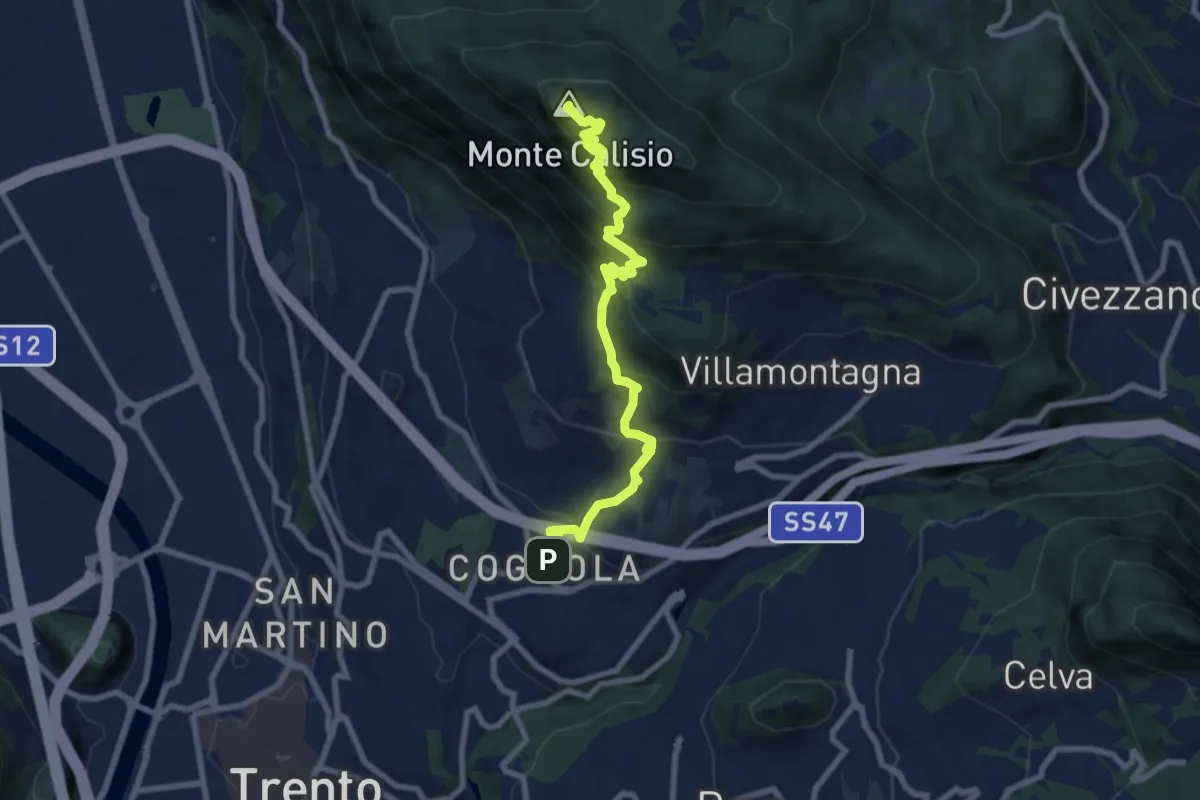
Medium · Summit
Sentiero Natura Cognola - Monte Calisio
8.4 km · ↑ 716 m · 3 h 31 min · 2 km away
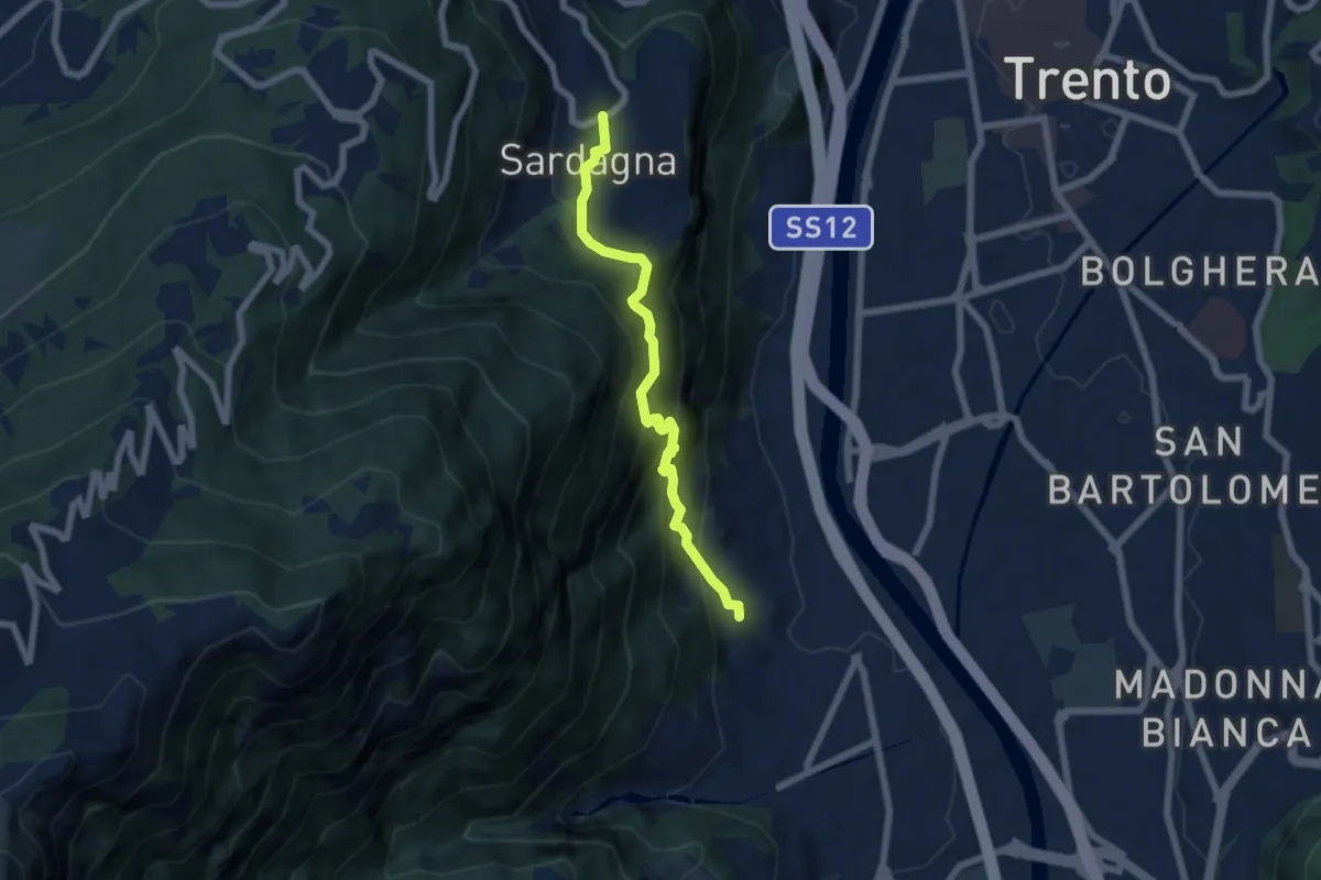
Medium · Trail
Belvedere di Ravina – Sardagna (bivio 645)
6.1 km · ↑ 607 m · 2 h 45 min · 2 km away
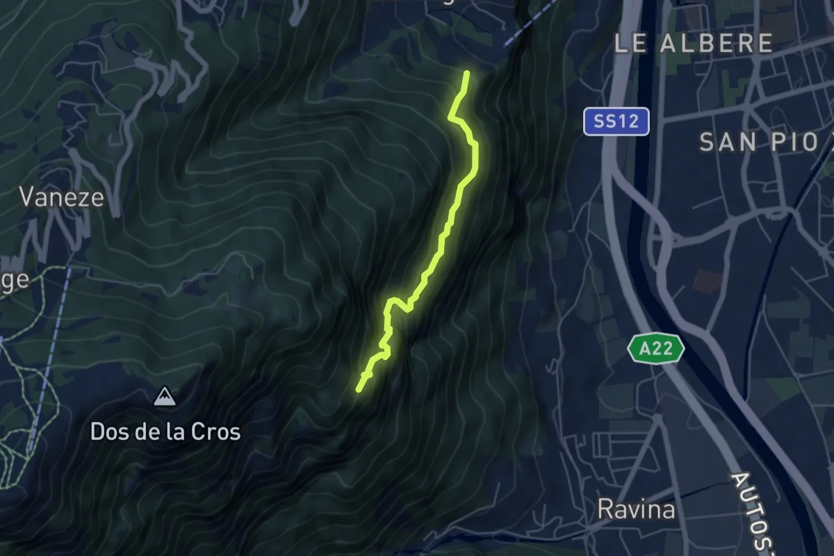
Medium · Trail
Sentiero "Pero Degasperi"
4.4 km · ↑ 662 m · 2 h 28 min · 2 km away
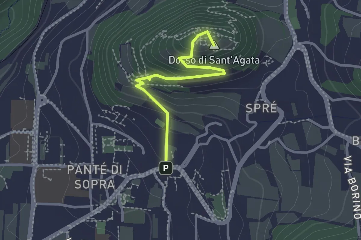
Medium · Summit
Sentiero Sant'Agata
2.3 km · ↑ 157 m · 52 min · 2 km away
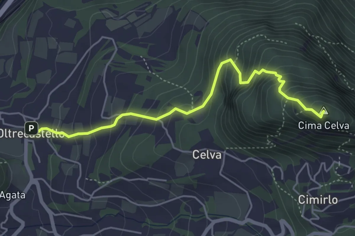
Medium · Summit
Oltrecastello – Passo del Cimirlo
4.6 km · ↑ 494 m · 2 h 9 min · 3 km away
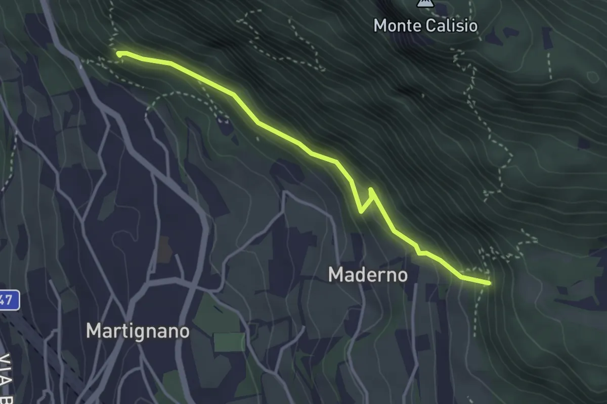
Demanding · Trail
Sentiero delle milizie
3.3 km · ↑ 240 m · 1 h 18 min · 3 km away
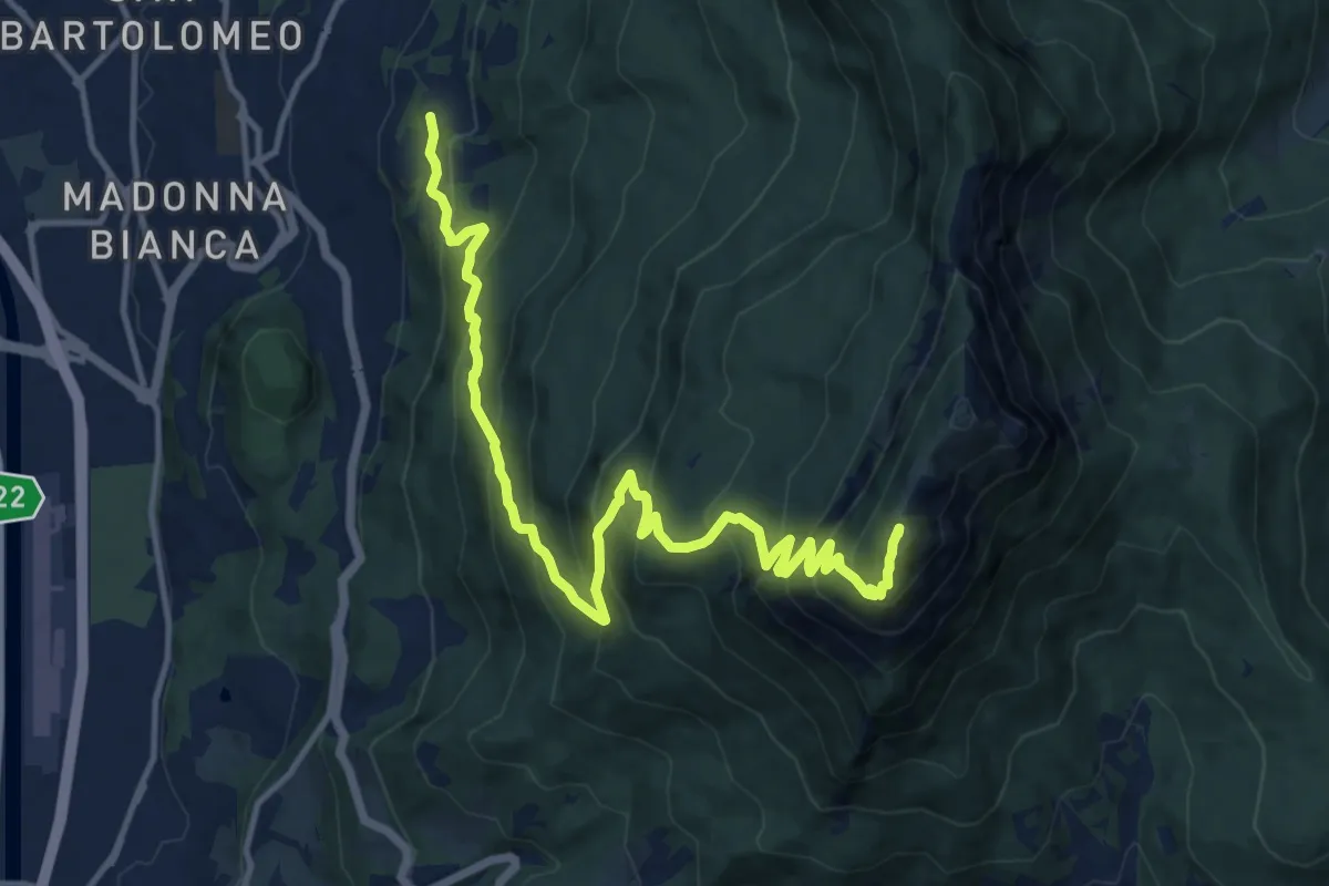
Demanding · Summit
Grotta di Villazzano – Sella nord della Marzola (bivio 411-411A-433)
15.3 km · ↑ 1313 m · 6 h 27 min · 3 km away
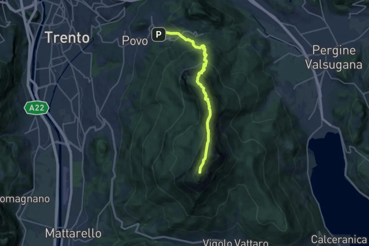
Demanding · Summit
Borino (bivio 413) – Cippo Livio Sartori (bivio 412)
14.2 km · ↑ 1285 m · 6 h 8 min · 3 km away
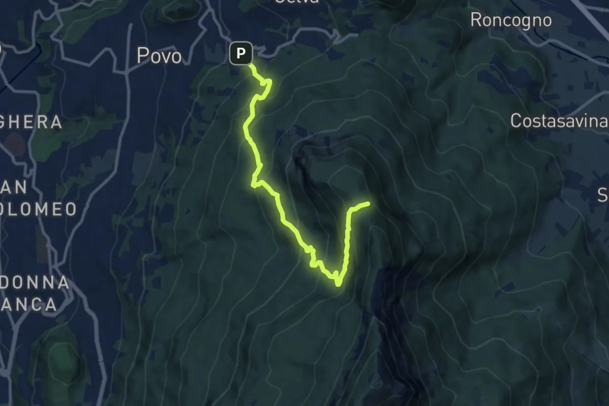
Demanding · Summit
Borino (bivio 411) – Stoi del Chegul (bivio 411)
10.1 km · ↑ 844 m · 4 h 13 min · 3 km away
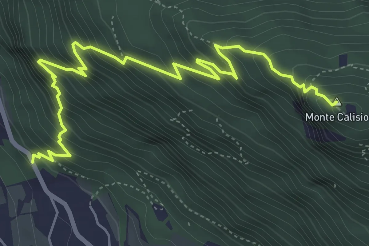
Demanding · Summit
Sentiero di Predamala
5.7 km · ↑ 739 m · 2 h 57 min · 3 km away
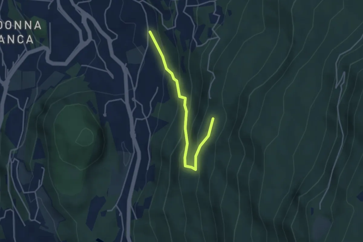
Easy · Cabin
Sentiero degli aquiloni
3.3 km · ↑ 249 m · 1 h 19 min · 3 km away
Demanding · Summit
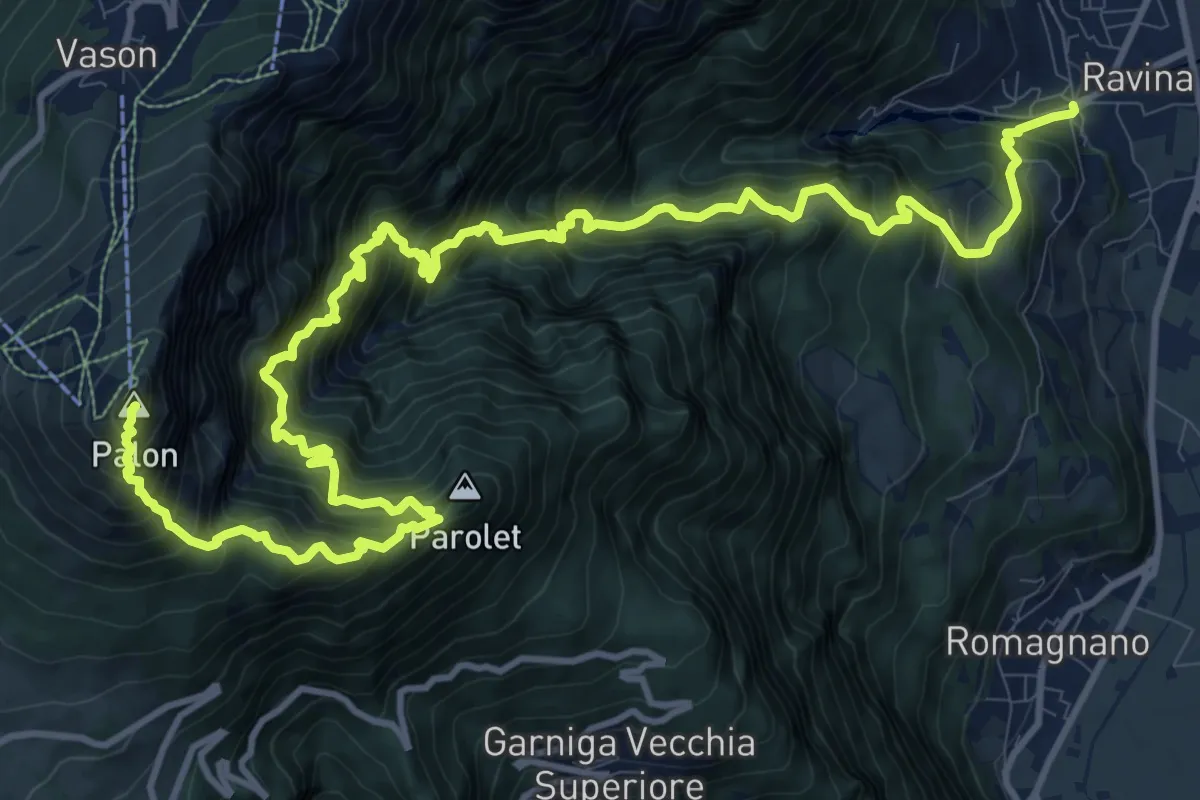
Sentiero della Val delle Gole
18.0 km · ↑ 2715 m · 10 h 8 min · 4 km away
Demanding · Trail
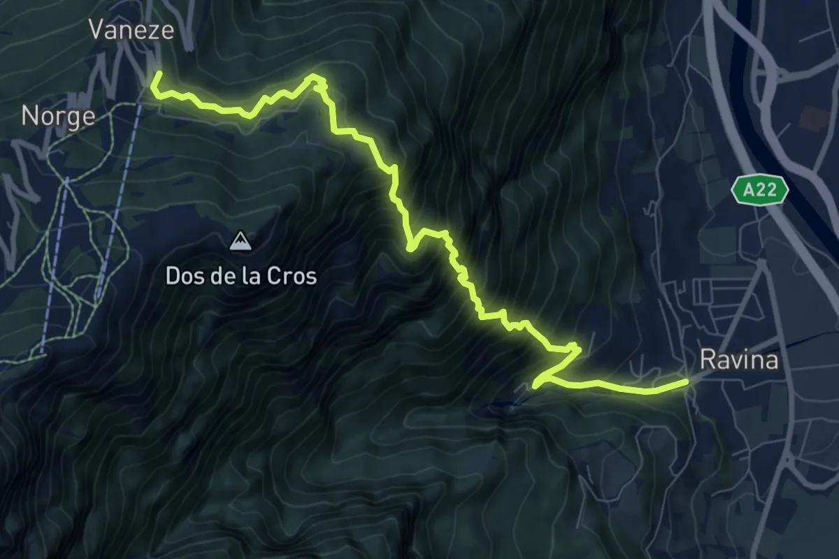
Ravina (bivio 626) – Vaneze
9.6 km · ↑ 1292 m · 5 h 5 min · 4 km away
Medium · Cabin
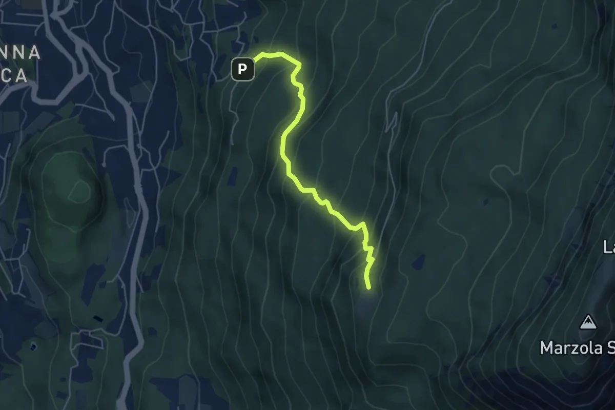
Pinara (bivio 412) – Rifugio Maranza (bivio 412 - 426 - 429 - 456)
4.7 km · ↑ 516 m · 2 h 13 min · 4 km away
Medium · Summit
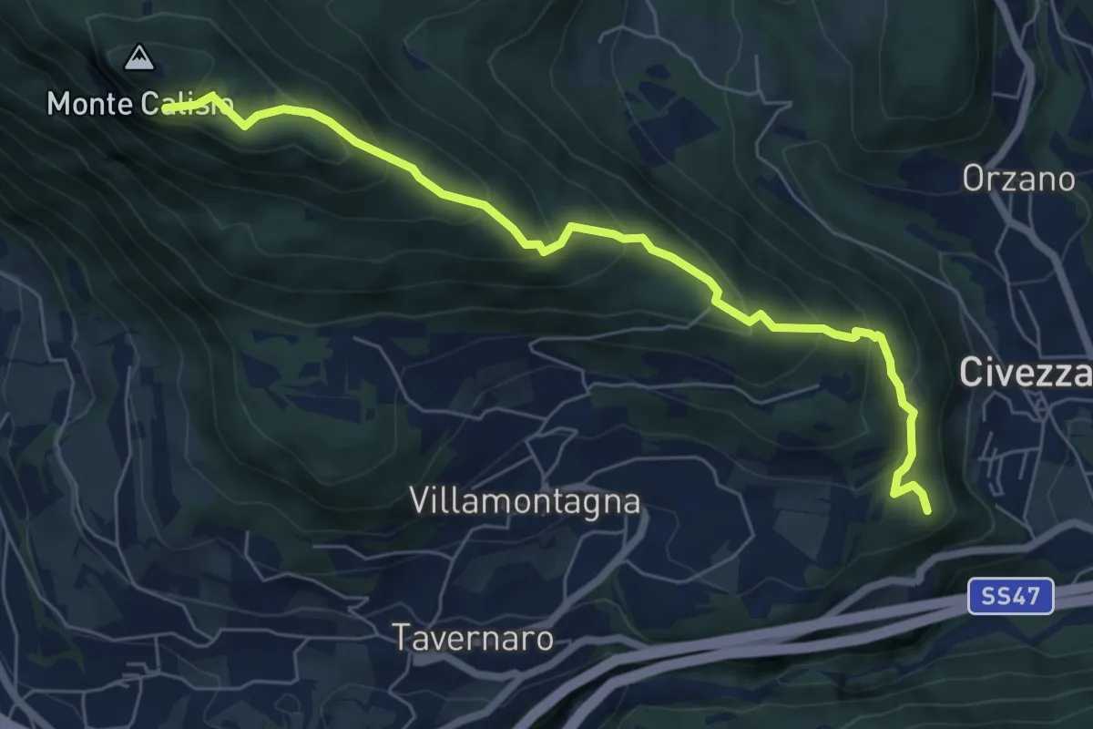
Sentiero delle Coste di Campel
6.7 km · ↑ 482 m · 2 h 37 min · 4 km away
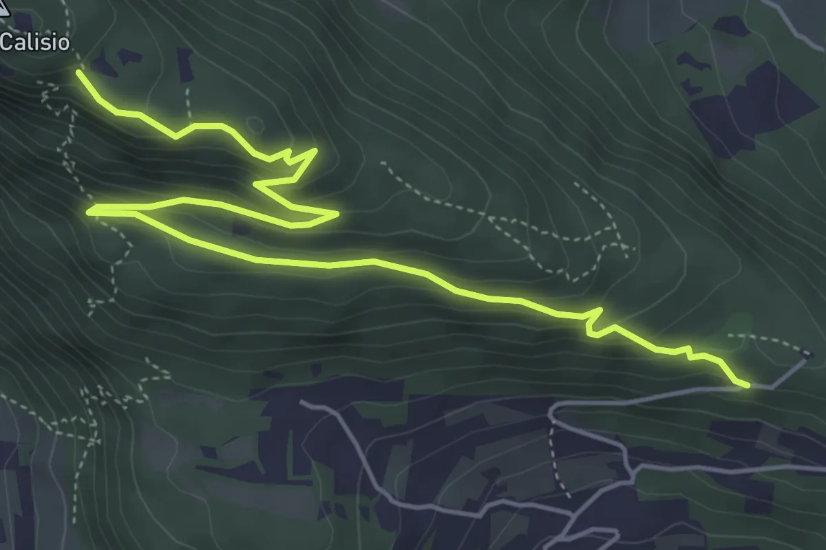
Medium · Trail
Sentiero della Croce
6.4 km · ↑ 349 m · 2 h 16 min · 4 km away
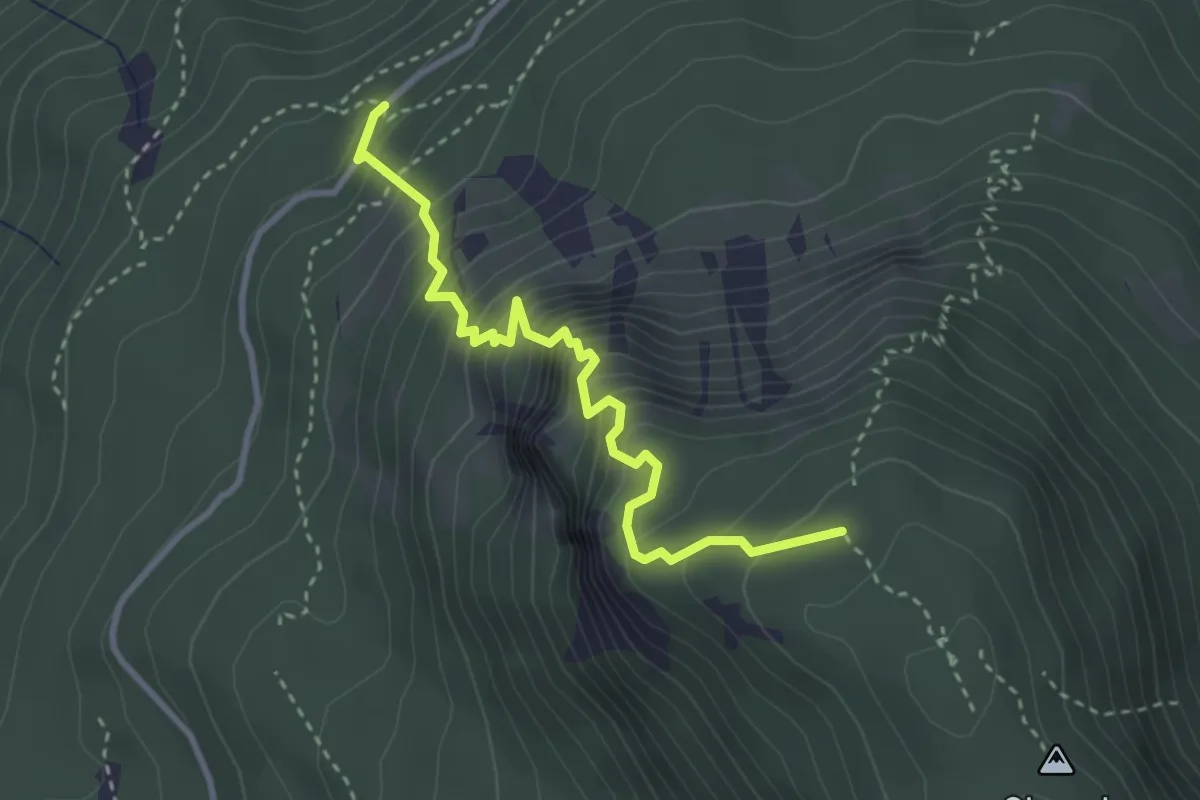
Expert · Trail
Via ferrata "Giordano Bertotti"
3.3 km · ↑ 520 m · 1 h 55 min · 4 km away
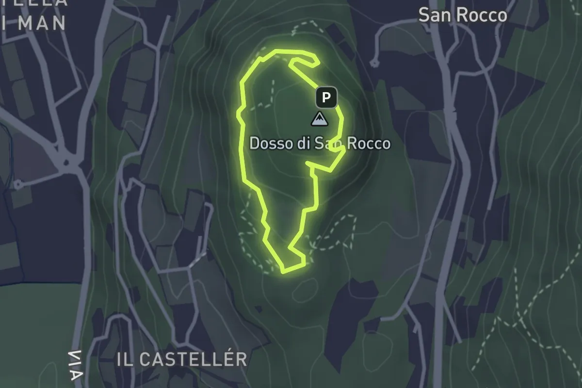
Easy · Summit
Giro del Dosso di San Rocco
1.9 km · ↑ 97 m · 41 min · 4 km away
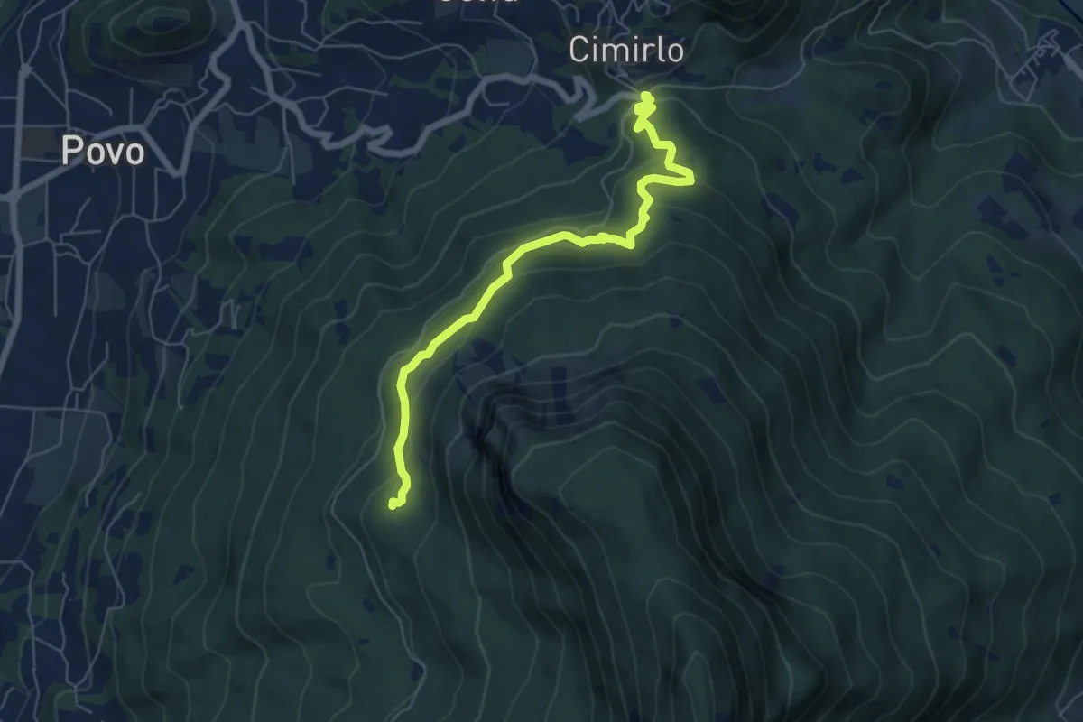
Medium · Trail
Passo del Cimirlo – Busa Granda (bivo 413)
6.3 km · ↑ 277 m · 2 h 5 min · 4 km away
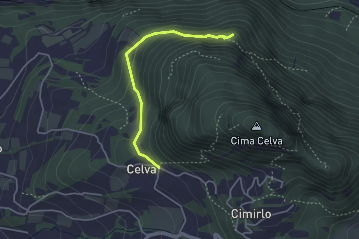
Easy · Summit
Celva – Sella del Celvet
2.9 km · ↑ 188 m · 1 h 5 min · 4 km away
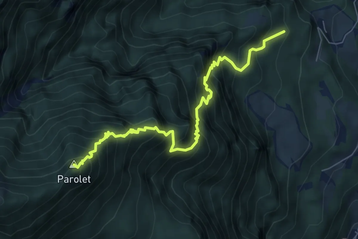
Expert · Summit
Senter de la Terlaga
6.9 km · ↑ 1059 m · 3 h 55 min · 4 km away
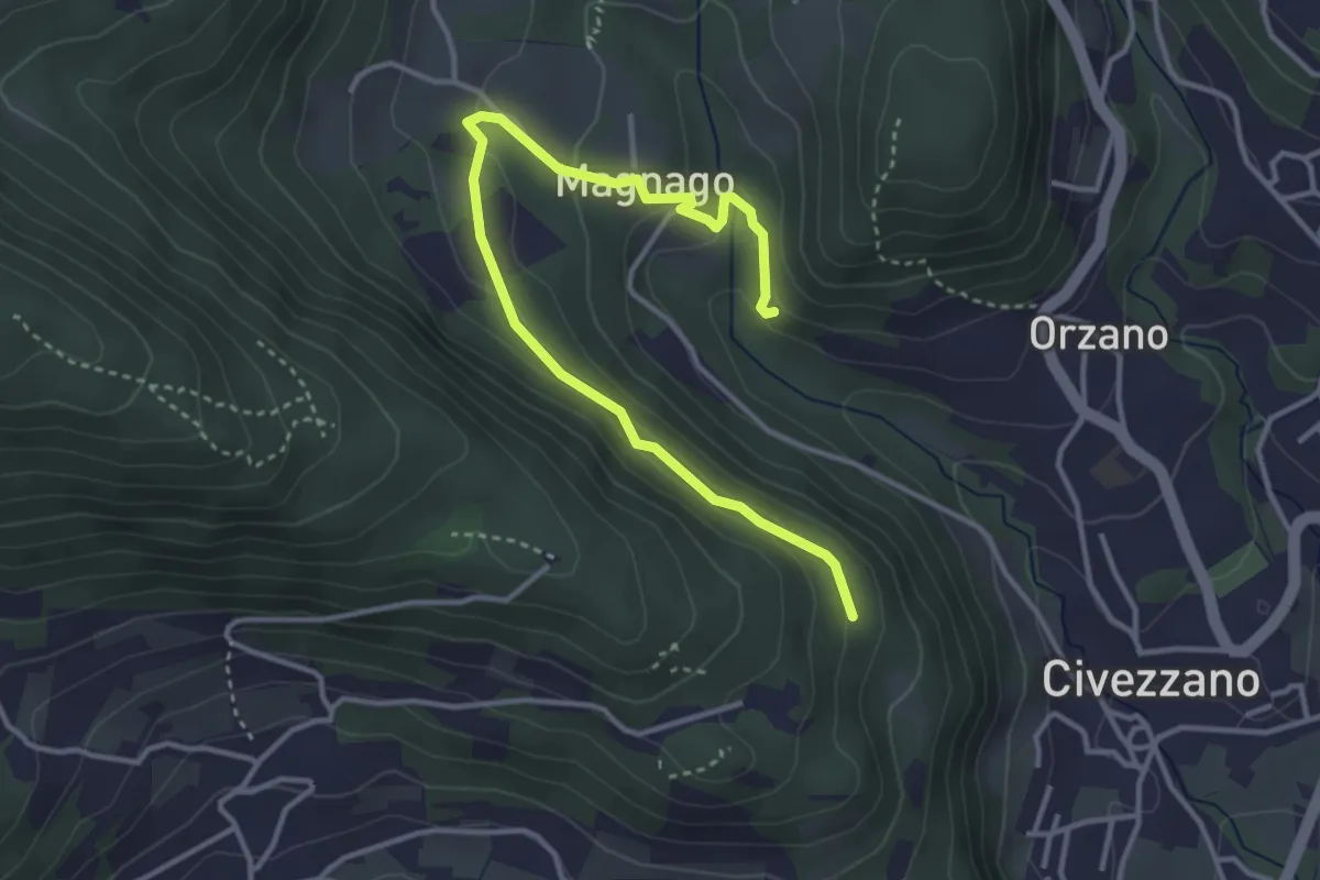
Easy · Trail
Senter del Lof
4.1 km · ↑ 165 m · 1 h 20 min · 5 km away
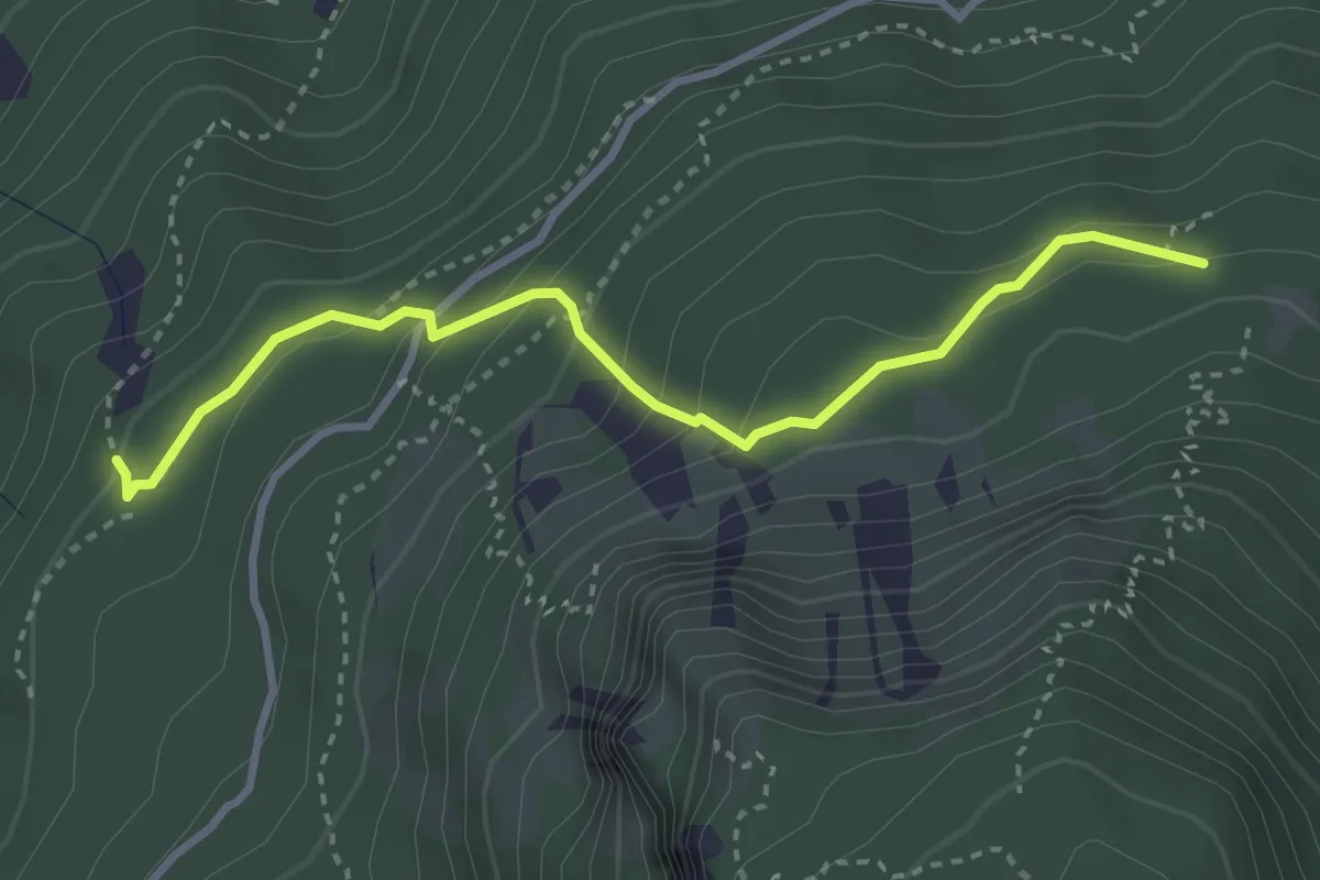
Medium · Trail
Senter dei Brusadi
3.3 km · ↑ 258 m · 1 h 21 min · 5 km away
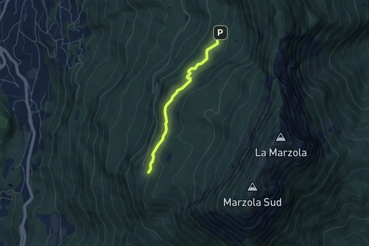
Easy · Cabin
Quota 1059 (bivio 413) – Rifugio Maranza (bivio 412 - 426 - 429 - 441)
4.6 km · ↑ 196 m · 1 h 30 min · 5 km away
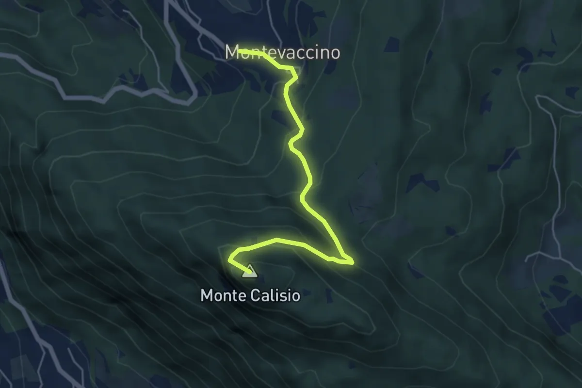
Demanding · Summit
Sentiero del Giaron
4.7 km · ↑ 347 m · 1 h 51 min · 5 km away
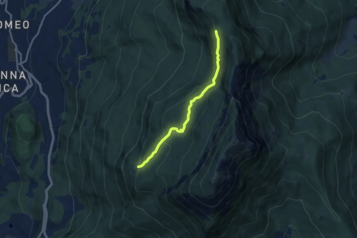
Medium · Cabin
Senter delle Pegore
6.3 km · ↑ 370 m · 2 h 18 min · 5 km away
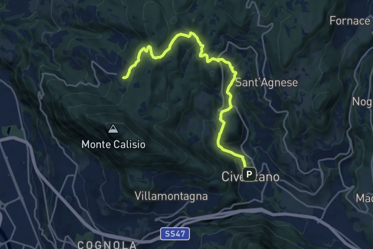
Medium · Trail
Civezzano - Castel Telvana (bivio 403) – Montevaccino di sopra (bivio 430)
13.4 km · ↑ 637 m · 4 h 33 min · 5 km away
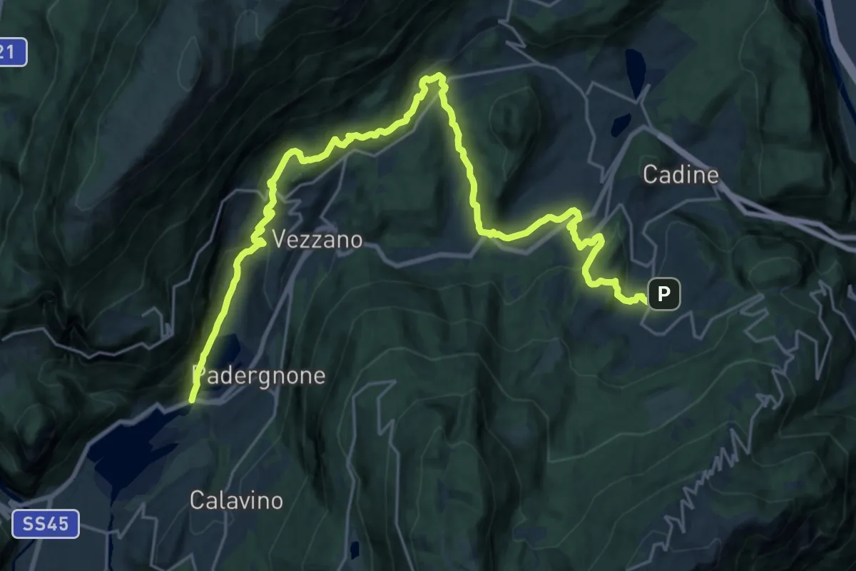
Medium · Trail
Sentiero San Vili basso - Tappa 2
14.2 km · ↑ 379 m · 4 h 33 min · 5 km away
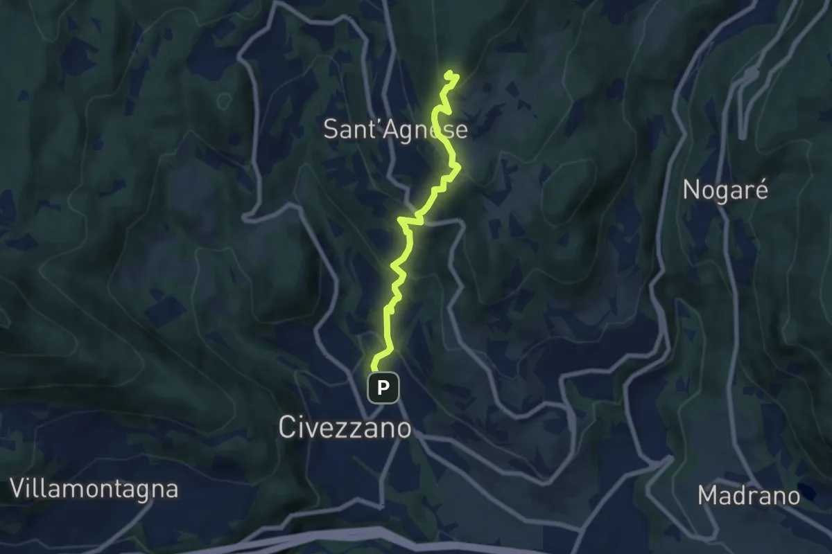
Medium · Summit
Civezzano – Montepiano (bivio 421)
5.9 km · ↑ 454 m · 2 h 23 min · 5 km away
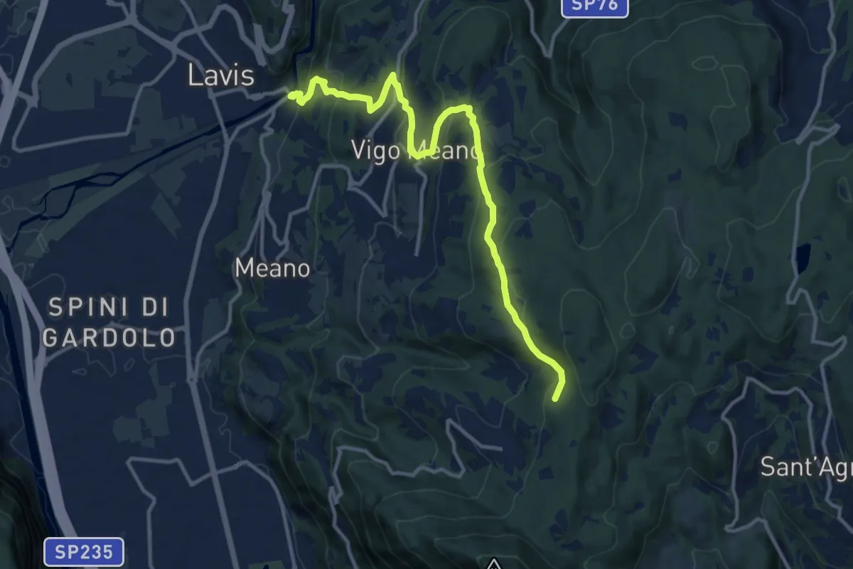
Medium · Trail
Sentiero della scaletta, delle Fratte, strada per Pralungo, sentiero Crozi di Valcalda
12.6 km · ↑ 617 m · 4 h 18 min · 5 km away
Demanding · Summit
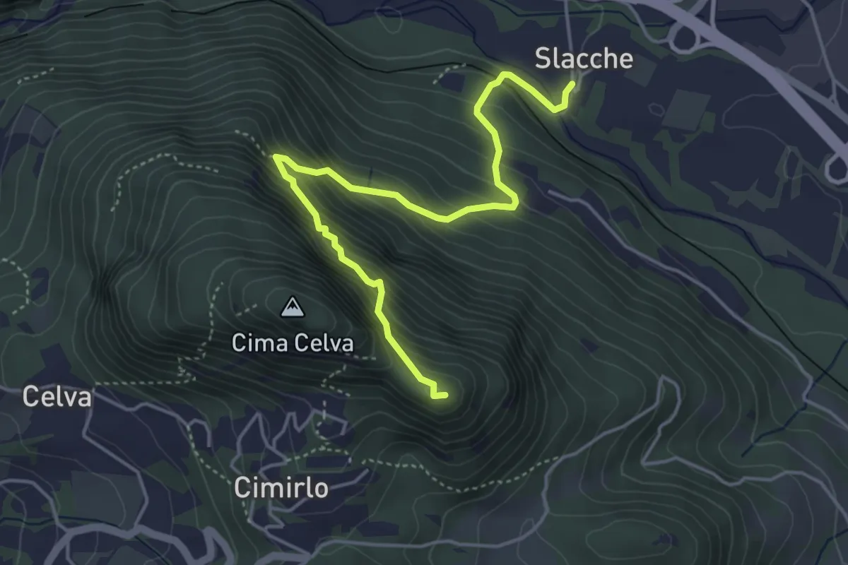
Slacche – Selletta (bivio 419)
4.8 km · ↑ 524 m · 2 h 15 min · 5 km away
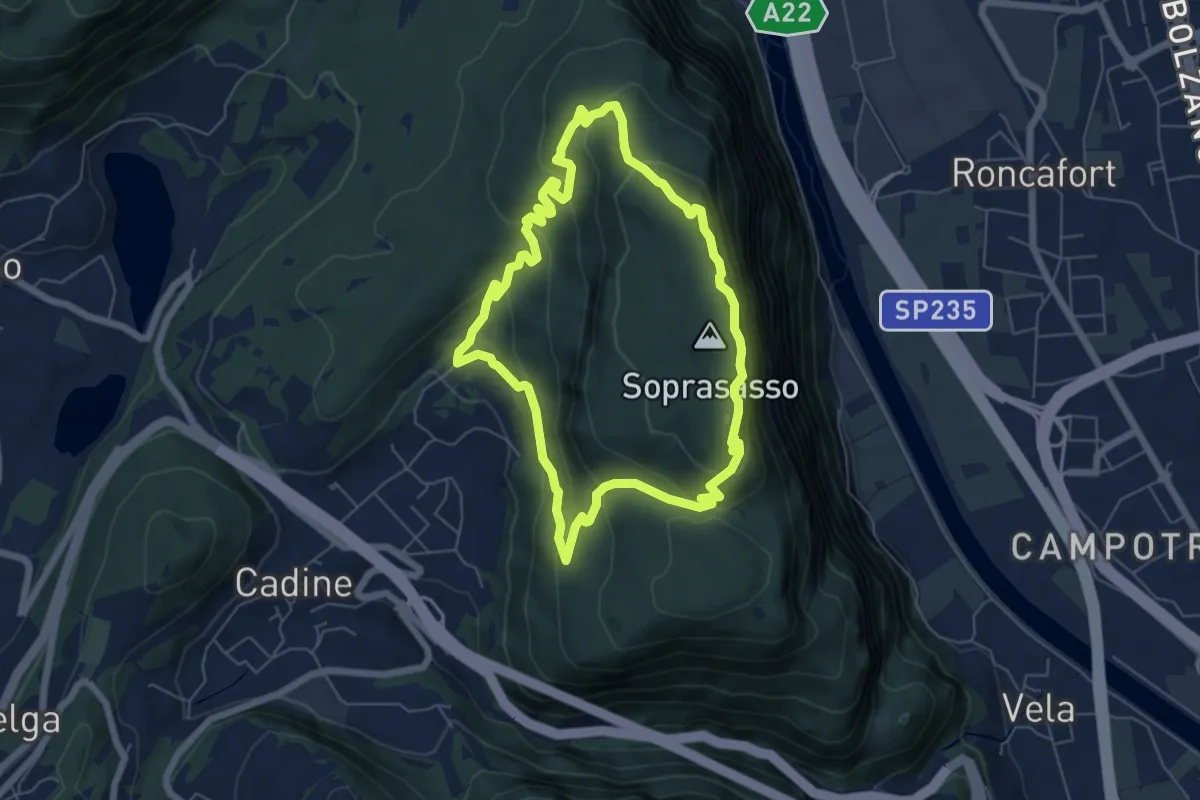
Medium · Summit
Giro del Sorasass
6.0 km · ↑ 398 m · 2 h 21 min · 5 km away
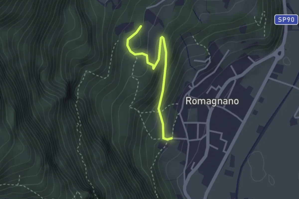
Easy · Trail
13
2.6 km · ↑ 203 m · 1 h 3 min · 6 km away
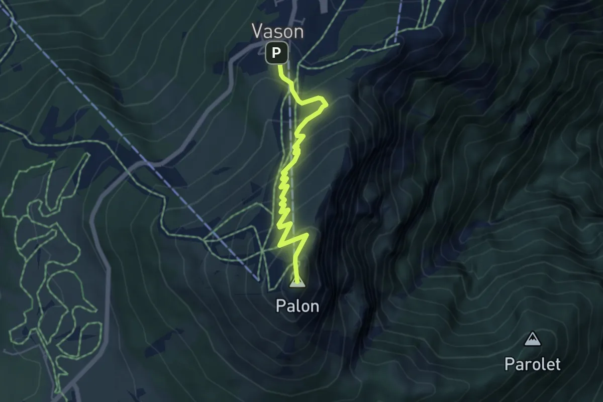
Medium · Summit
Sentiero dei Mughi
4.6 km · ↑ 431 m · 2 h 1 min · 6 km away
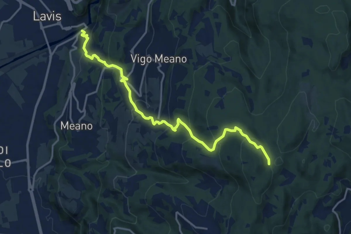
Medium · Trail
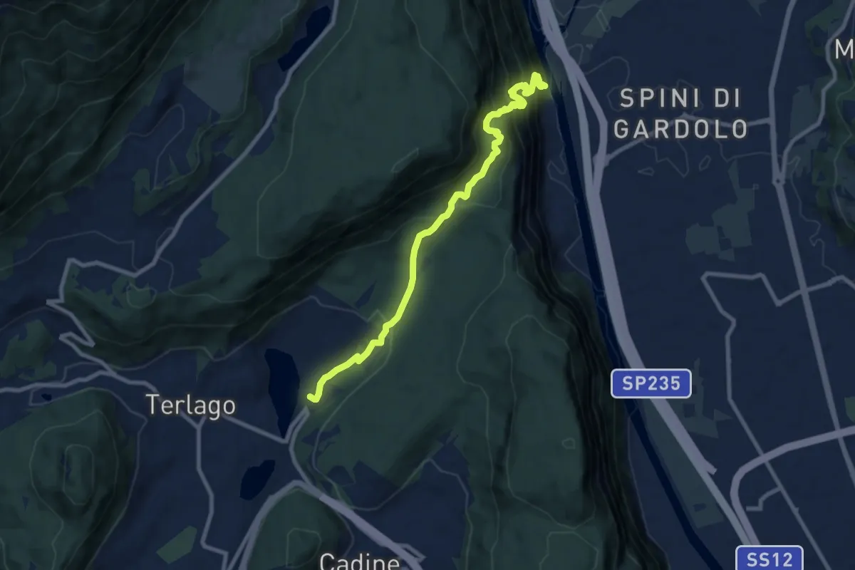
San Lazzaro - presso chiesa San Lazzaro – Dolasi (bivio 421)
11.2 km · ↑ 679 m · 4 h 6 min · 6 km away
Demanding · Trail
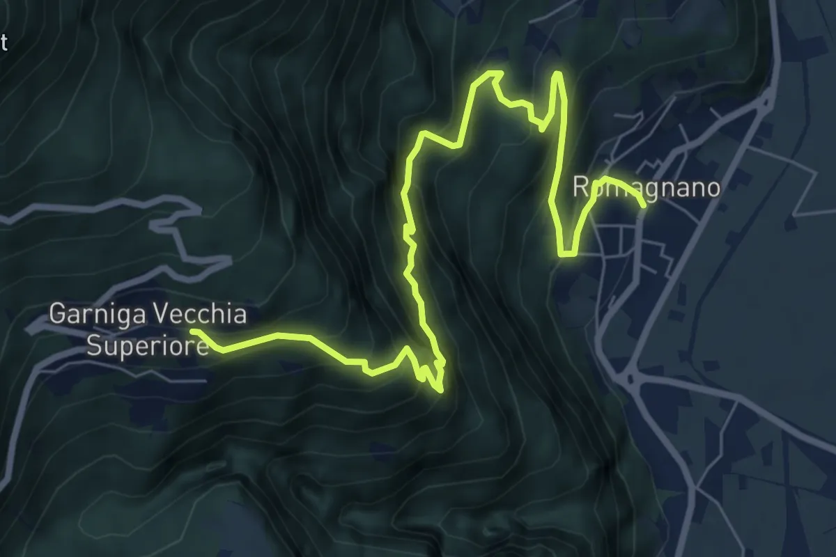
Ischia Podetti - presso discarica – Albergo Lilla
8.6 km · ↑ 902 m · 3 h 59 min · 6 km away
Demanding · Trail
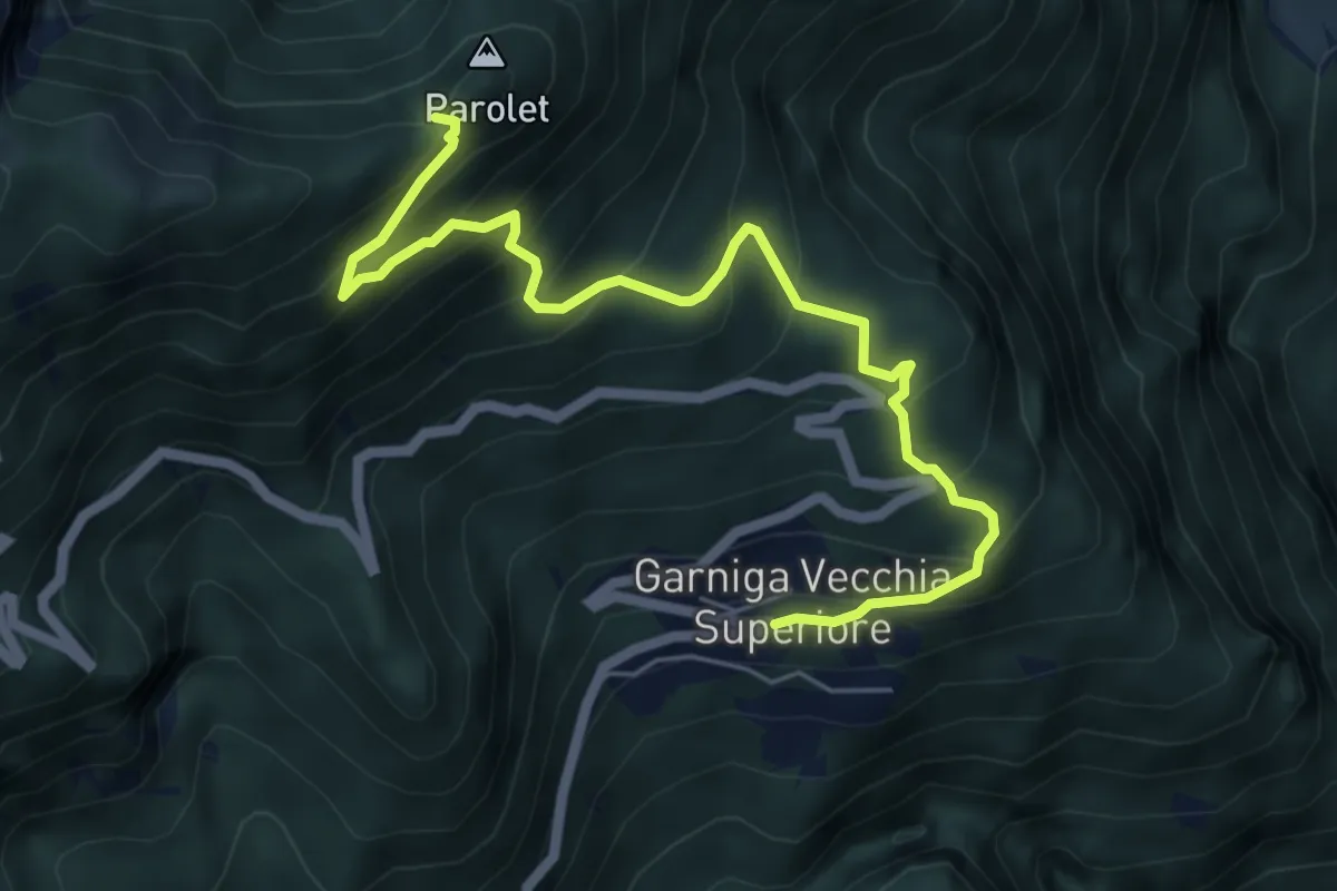
Sentiero del Guardadocio
8.5 km · ↑ 844 m · 3 h 50 min · 7 km away
Medium · Trail
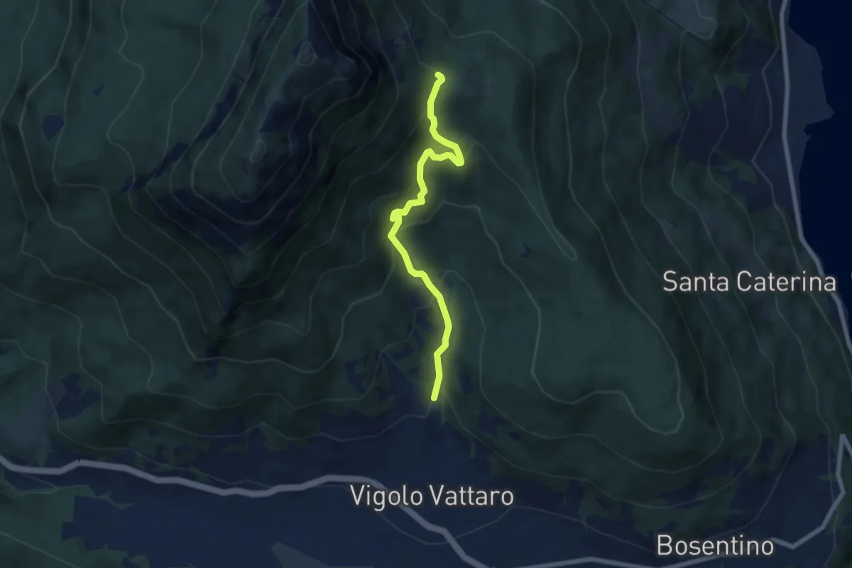
Garniga Vecchia – Sella del Monte Parolet (bivio 626 - 693)
6.3 km · ↑ 609 m · 2 h 49 min · 7 km away
Medium · Trail
Vigolo Vattaro - Sabbionare (bivio 438) – Piani di Vigo (o di Susà)
6.2 km · ↑ 513 m · 2 h 35 min · 7 km away
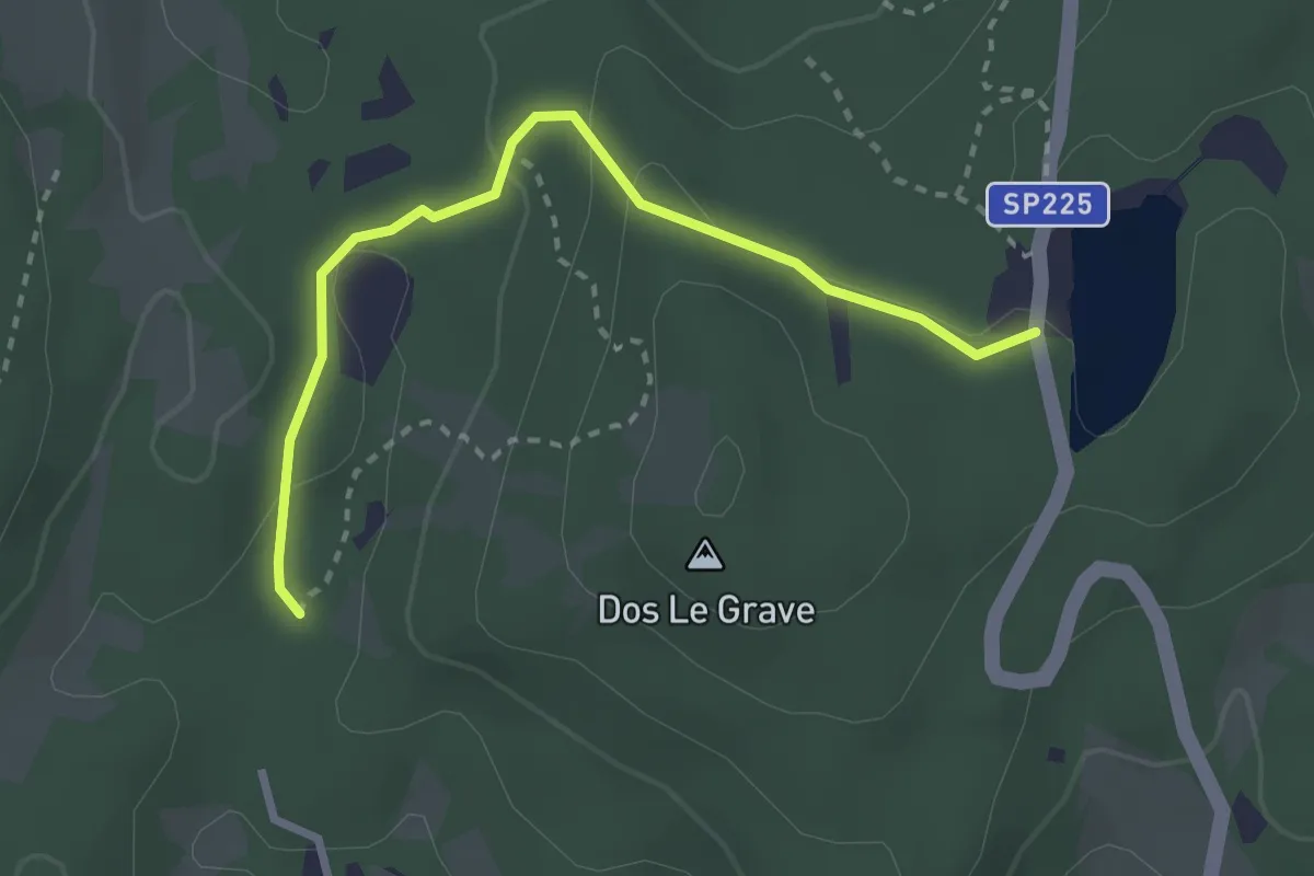
Easy · Trail
Biotopo Le Grave
2.8 km · ↑ 73 m · 49 min · 7 km away
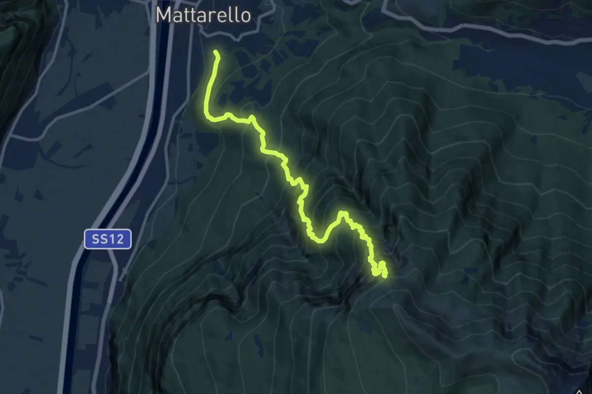
Demanding · Trail
Mattarello - Via Stolzano – Quota 1718 (bivio 446)
11.6 km · ↑ 1649 m · 6 h 19 min · 7 km away
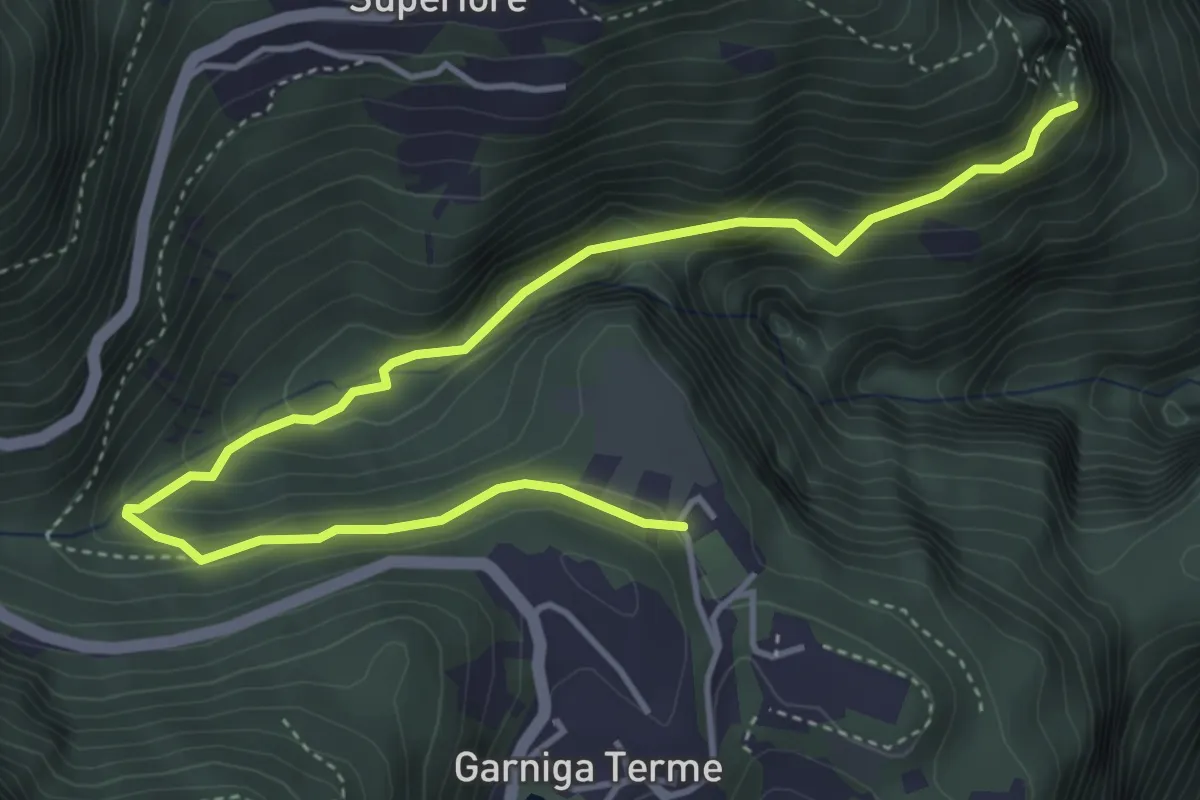
Medium · Trail
Sentiero dei Molini
5.4 km · ↑ 360 m · 2 h 3 min · 7 km away
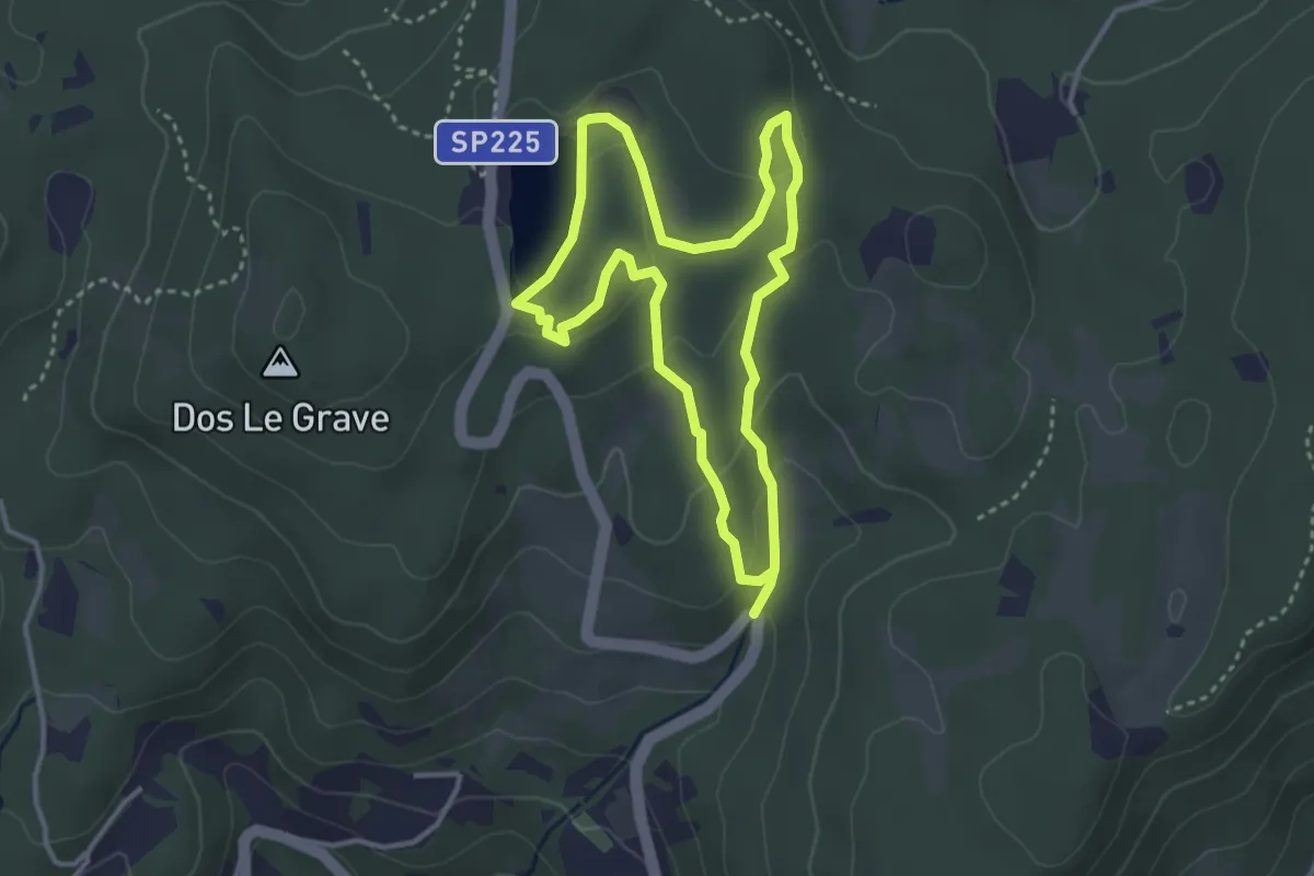
Easy · Trail
Sentiero delle Canope
3.2 km · ↑ 103 m · 1 h 1 min · 7 km away