Trails near Trento
166 hikes starting within 15 km, nearest first.
Nearest first, page 2 of 4
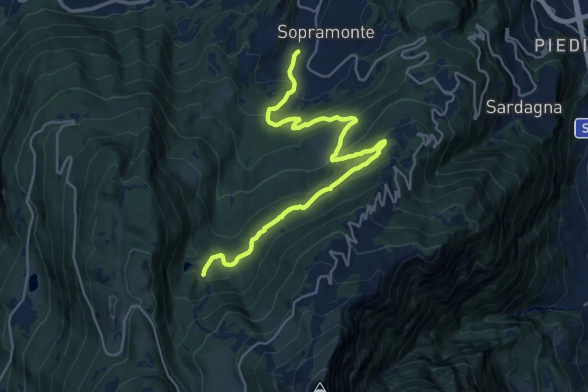
Demanding · Trail
Sopramonte - campo sportivo – Malga di Mezzavia - o Baselga (bivio 607)
16.0 km · ↑ 855 m · 5 h 38 min · 7 km away
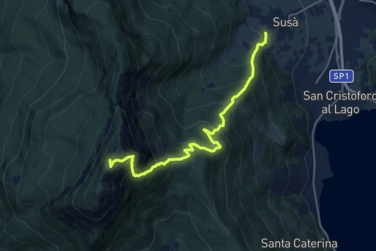
Demanding · Trail
Susà - via delle Calcare – Sella della Marzola (bivio 411 - 411A - 412)
11.3 km · ↑ 1101 m · 5 h 3 min · 7 km away
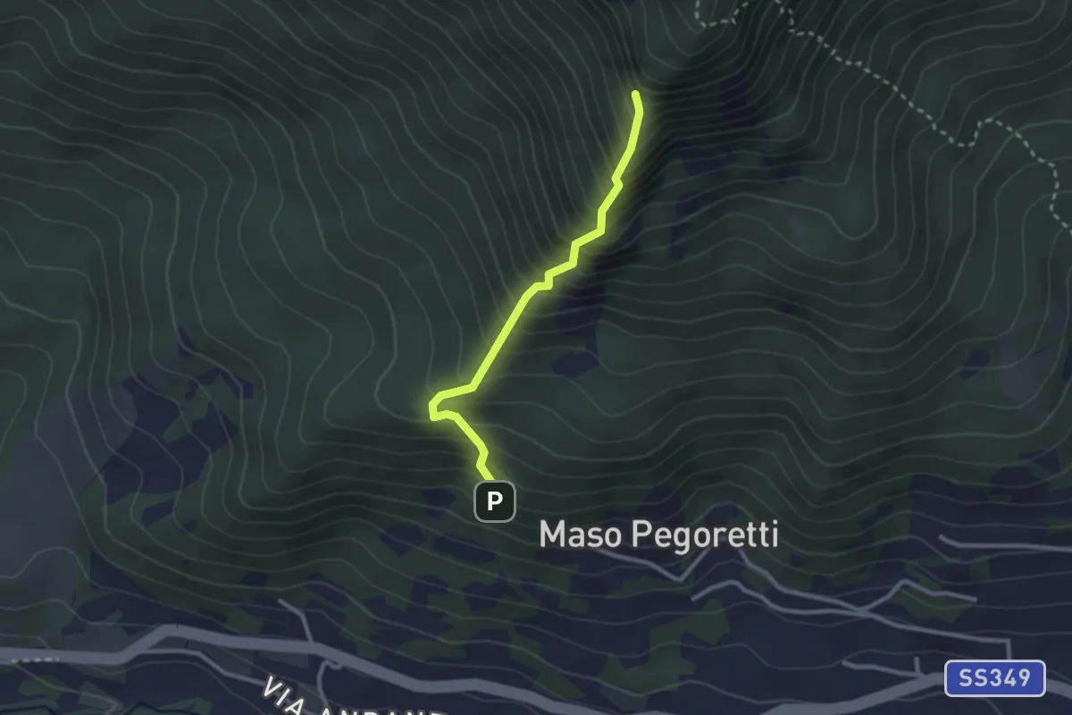
Demanding · Summit
Sentiero attrezzato del Croz de le Ore
2.4 km · ↑ 461 m · 1 h 34 min · 7 km away
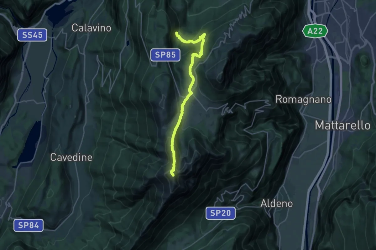
Demanding · Summit
Presso I Piani di Mezavia (bivio 621) – Versante nord Cima Cornetto (bivio 617 - 636)
17.9 km · ↑ 1083 m · 6 h 35 min · 8 km away
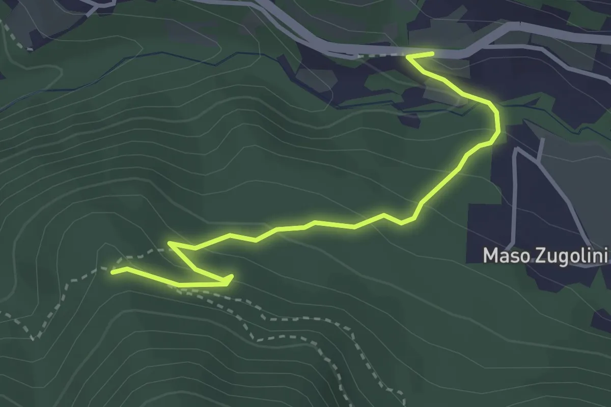
Easy · Trail
Bivio Strada Statale al Km 349 - presso Molini Valsorda – Forte Fornas (bivio 446)
3.3 km · ↑ 161 m · 1 h 8 min · 8 km away
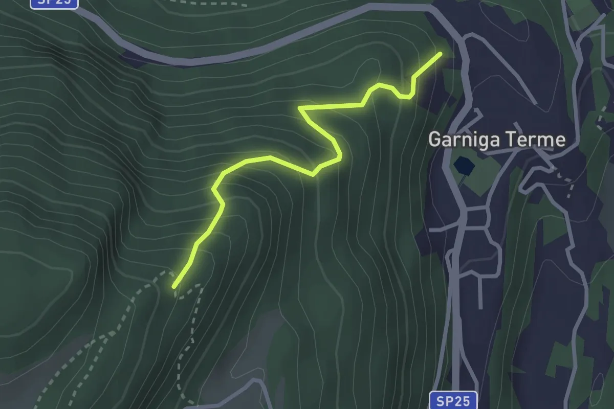
Medium · Trail
Sentiero Malga Albi
2.5 km · ↑ 338 m · 1 h 19 min · 8 km away
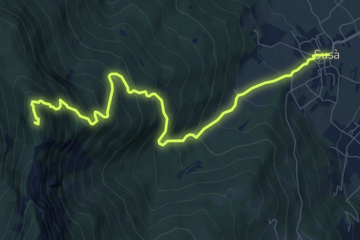
Demanding · Summit
Susà - Piazza della Chiesa – Presso il Dos dei Corvi (bivio 411)
9.6 km · ↑ 912 m · 4 h 15 min · 8 km away
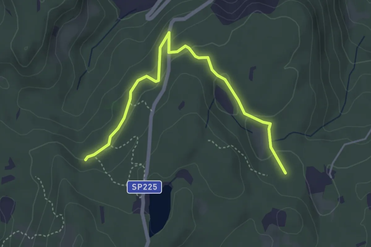
Easy · Trail
Quota 894 (bivio E473) – Prà Brogeron (bivio 421)
4.4 km · ↑ 107 m · 1 h 16 min · 8 km away
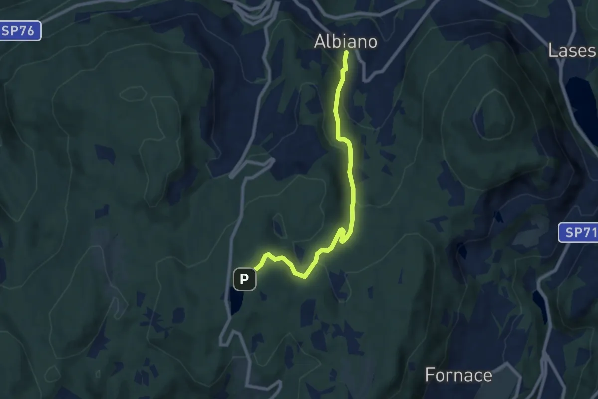
Easy · Trail
Albiano – Lago di Santa Colomba (bivio 421)
6.5 km · ↑ 318 m · 2 h 13 min · 8 km away
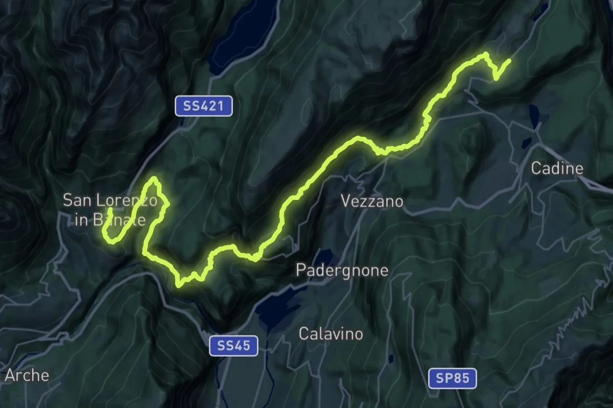
Demanding · Trail
Sentiero San Vili alto - Tappa 2
22.2 km · ↑ 1648 m · 9 h 7 min · 8 km away
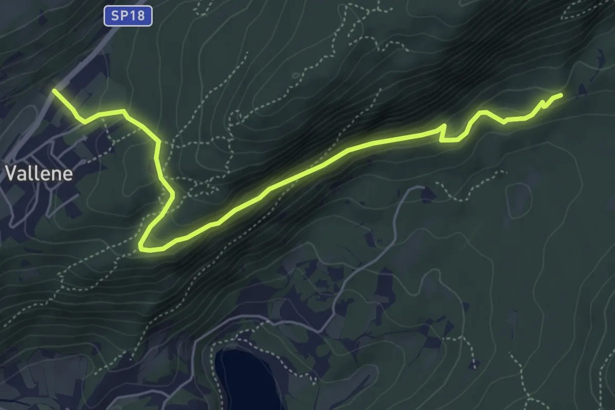
Easy · Trail
Vallene - fontana – Fontana del Dess
6.1 km · ↑ 269 m · 2 h 1 min · 8 km away
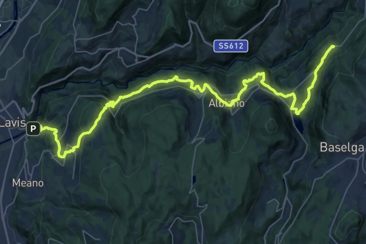
Demanding · Trail
Cammino delle terre sospese - Tappa 6
16.3 km · ↑ 989 m · 5 h 59 min · 8 km away
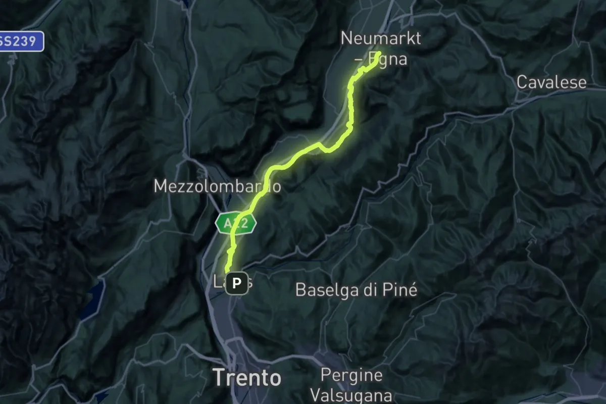
Demanding · Trail
Cammino del beato Enrico - Tappa 3
29.6 km · ↑ 212 m · 7 h 53 min · 8 km away
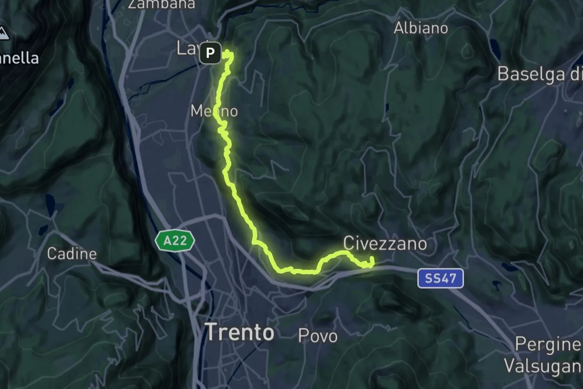
Demanding · Summit
Cammino del beato Enrico - Tappa 4
25.4 km · ↑ 1004 m · 8 h 11 min · 8 km away
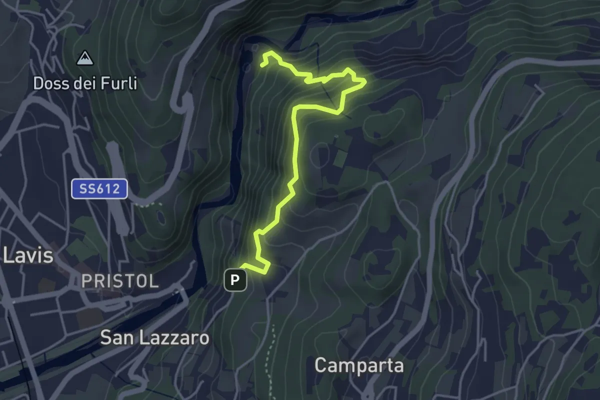
Medium · Trail
Sentiero sinistra Avisio
3.9 km · ↑ 420 m · 1 h 50 min · 8 km away
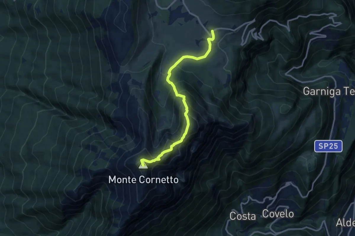
Demanding · Summit
Sentiero naturalistico delle Tre Cime
9.4 km · ↑ 794 m · 3 h 57 min · 8 km away
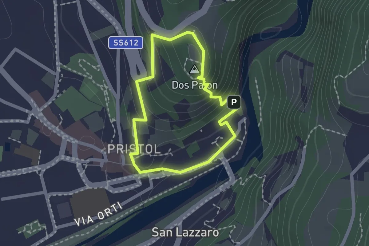
Medium · Summit
Giro del Dos Paion
1.4 km · ↑ 85 m · 32 min · 8 km away
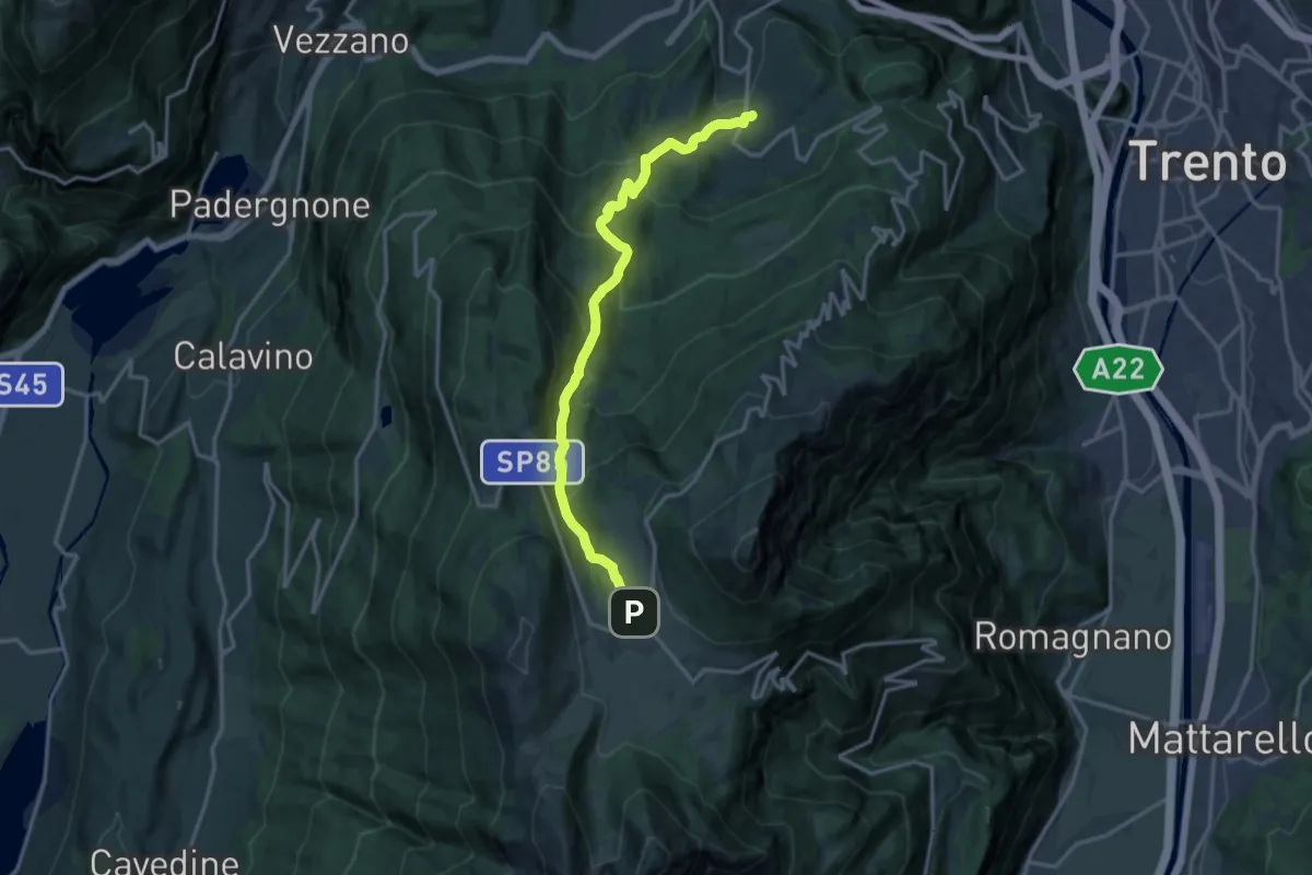
Demanding · Trail
Sopramonte - Piazza Oveno – Centro fondo Viote (bivio 607)
15.7 km · ↑ 996 m · 5 h 52 min · 8 km away
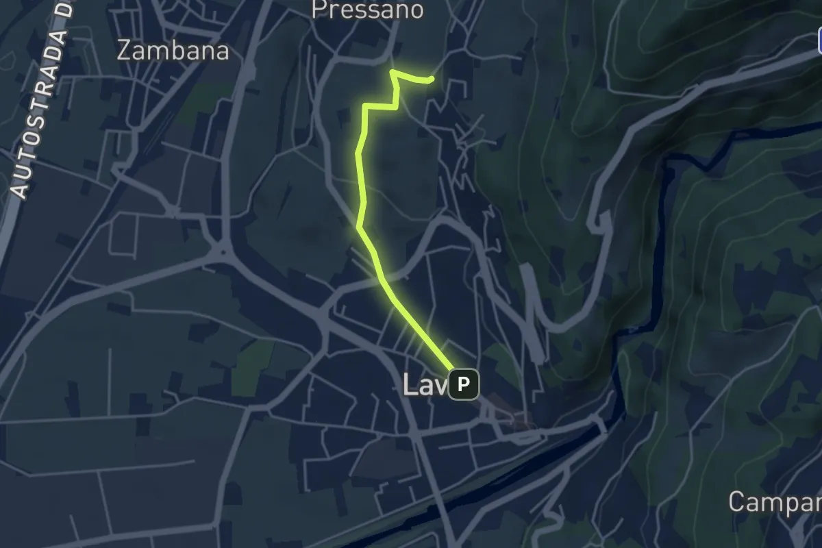
Easy · Trail
Itinerario 1 Colline Avisiane
3.3 km · ↑ 77 m · 56 min · 8 km away
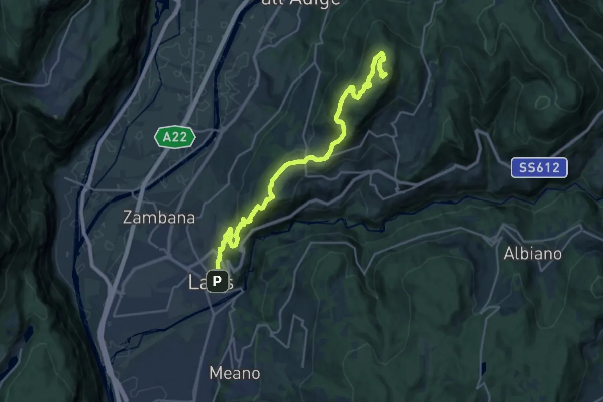
Demanding · Summit
Lavis - Via del Colli - parcheggio – Monte Corona - Dos Paion
17.7 km · ↑ 952 m · 6 h 15 min · 8 km away
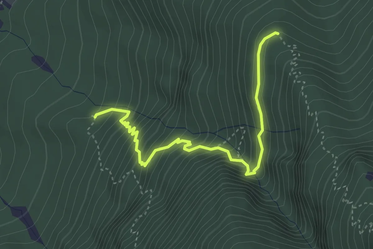
Medium · Trail
Quota 527 (bivio 447) – Malghetta (bivio 446)
3.9 km · ↑ 447 m · 1 h 53 min · 8 km away
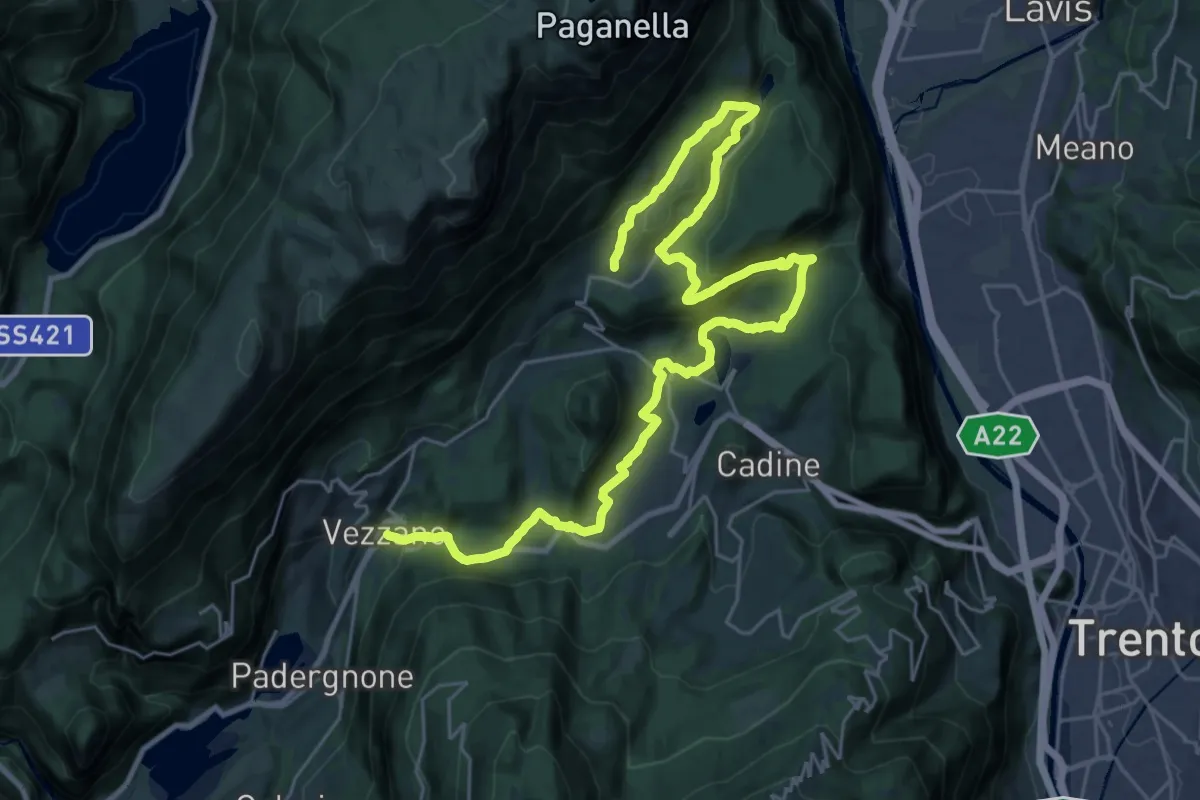
Medium · Trail
Cammino dei Sette Laghi - tappa 2
17.9 km · ↑ 374 m · 5 h 26 min · 8 km away
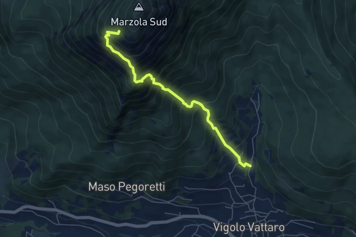
Demanding · Cabin
Vigolo Vattaro - Sabbionare (bivio 437) – Prà Grant (bivio 412)
5.6 km · ↑ 801 m · 3 h 3 min · 8 km away
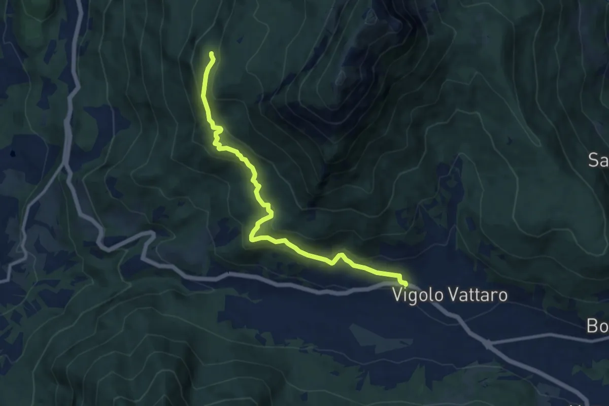
Medium · Cabin
Vigolo Vattaro – Rifugio Maranza (bivio 412 - 426 - 441 - 456)
9.2 km · ↑ 499 m · 3 h 16 min · 8 km away
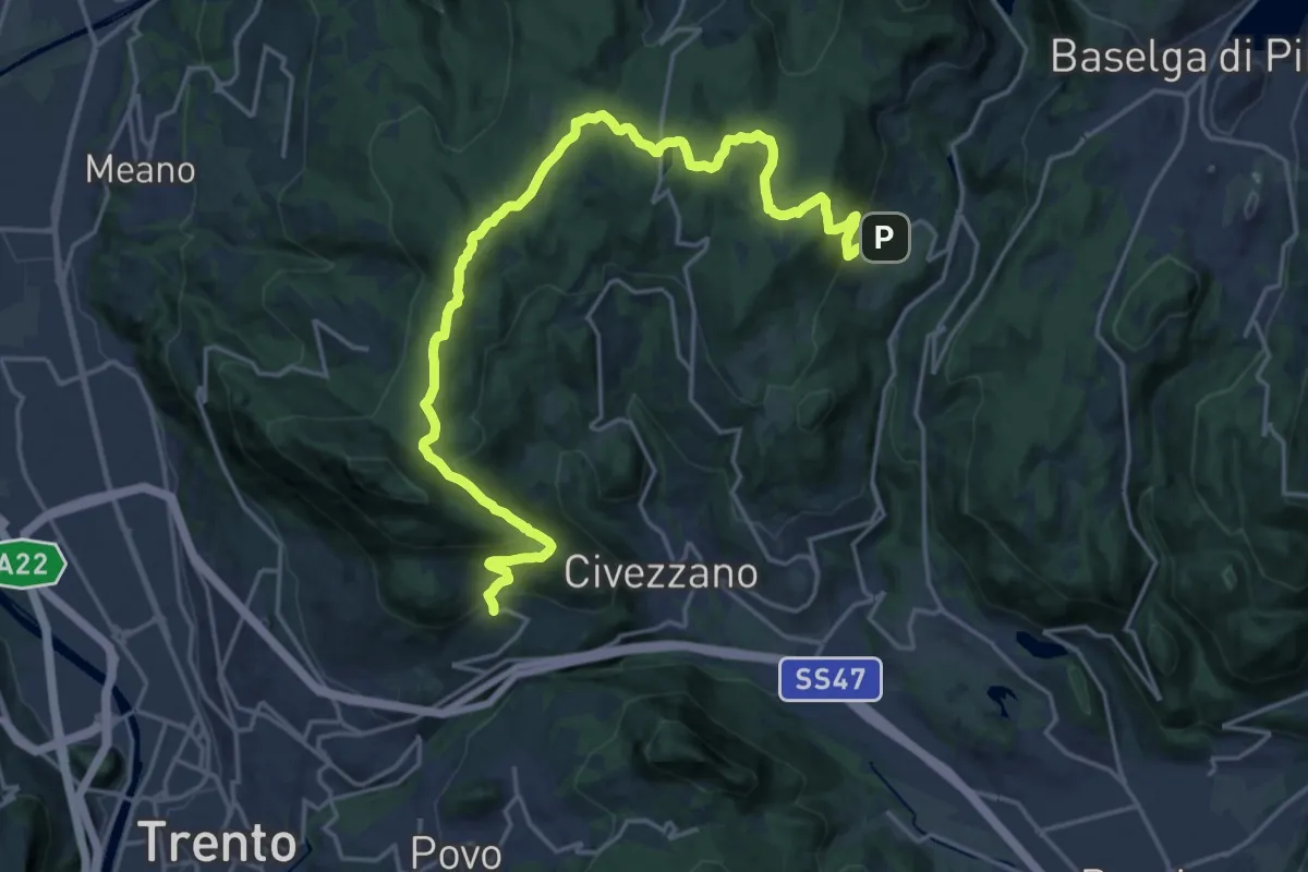
Demanding · Trail
Sentiero di Santa Colomba
23.7 km · ↑ 834 m · 7 h 24 min · 8 km away
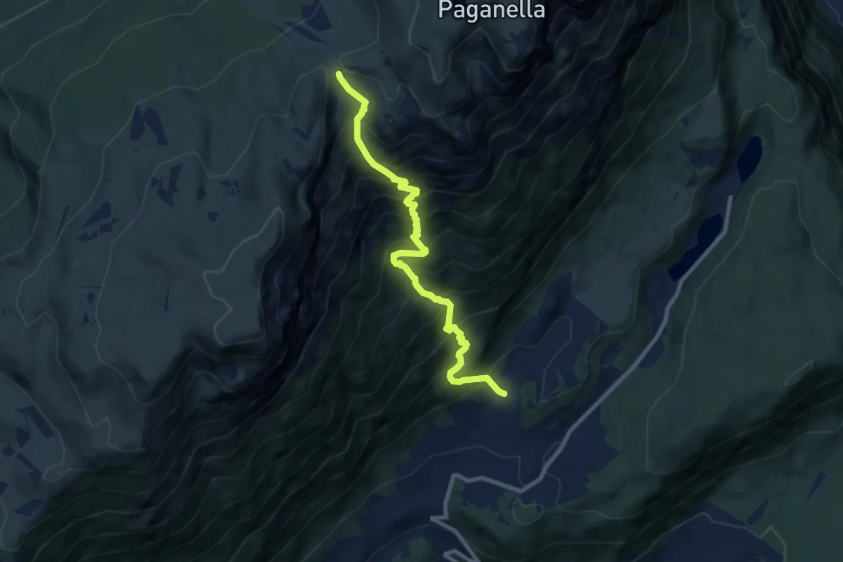
Demanding · Trail
Casale - presso Monte Terlago (bivio 627) – Passo di Sant'Antonio (bivio 602)
8.4 km · ↑ 1161 m · 4 h 30 min · 9 km away
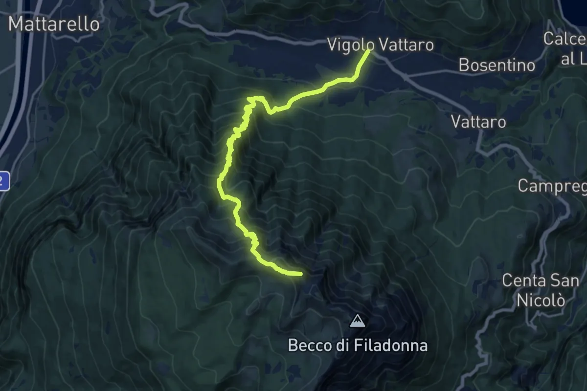
Demanding · Summit
Vigolo Vattaro – Bocca Lavinella (bivio 453 - 453A)
15.9 km · ↑ 1450 m · 6 h 54 min · 9 km away
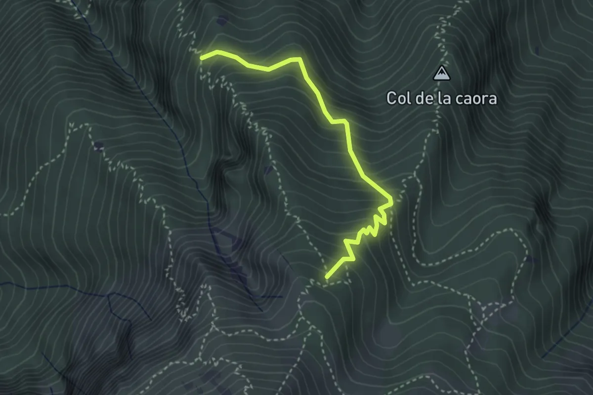
Medium · Trail
Presso Doredondo (bivio 446) – Nord-est Sass dell'Aquila (bivio 446)
3.2 km · ↑ 436 m · 1 h 42 min · 9 km away
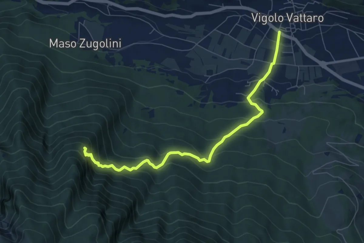
Medium · Trail
Senter dei Aseni
7.7 km · ↑ 591 m · 3 h 6 min · 9 km away
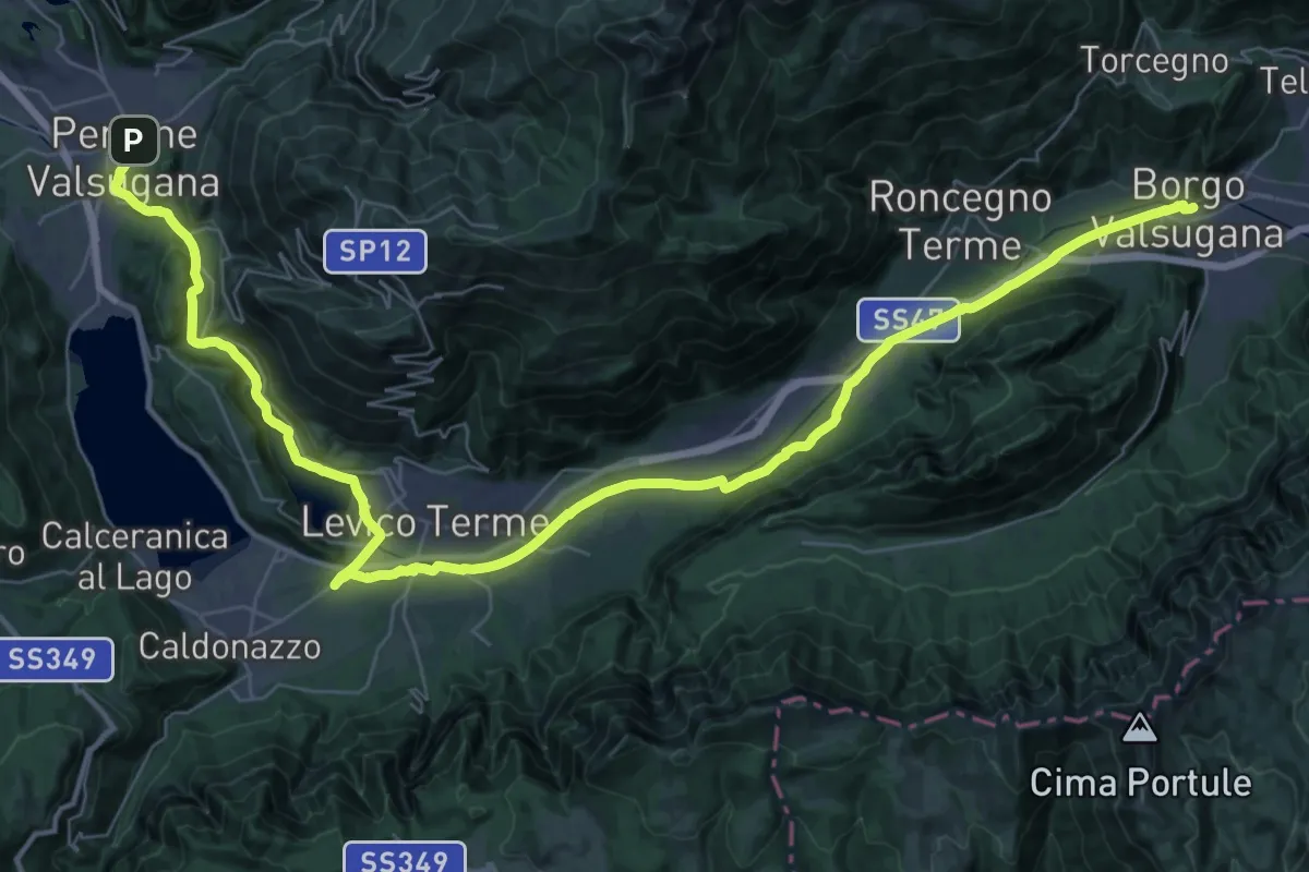
Demanding · Trail
Cammino del beato Enrico - Tappa 5
25.9 km · ↑ 188 m · 6 h 56 min · 9 km away
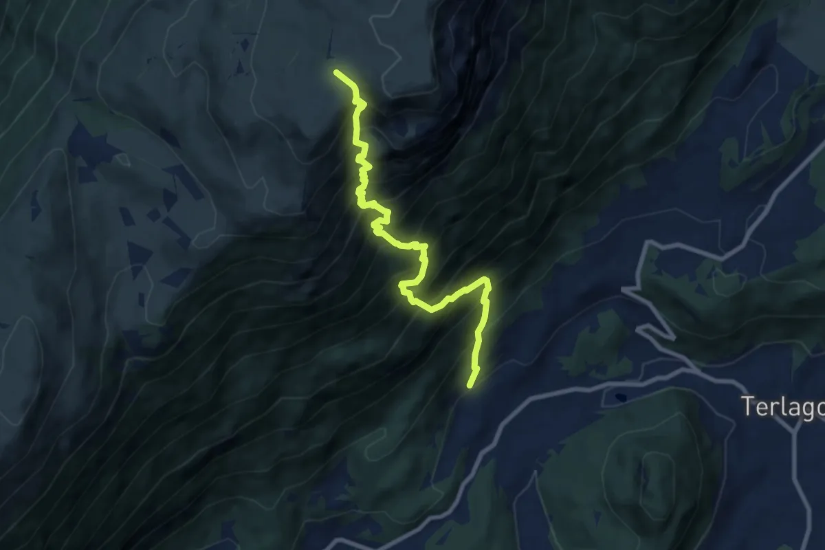
Demanding · Trail
Covelo - edicola di Sant'Antonio (bivio 612) – Passo di San Giacomo (bivio 602)
8.5 km · ↑ 1383 m · 5 h · 9 km away
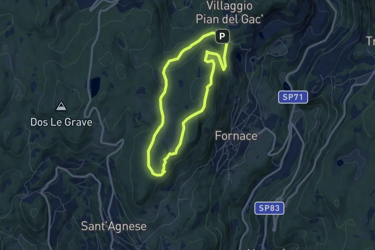
Easy · Summit
Sentiero degli Gnomi
5.8 km · ↑ 157 m · 1 h 48 min · 9 km away
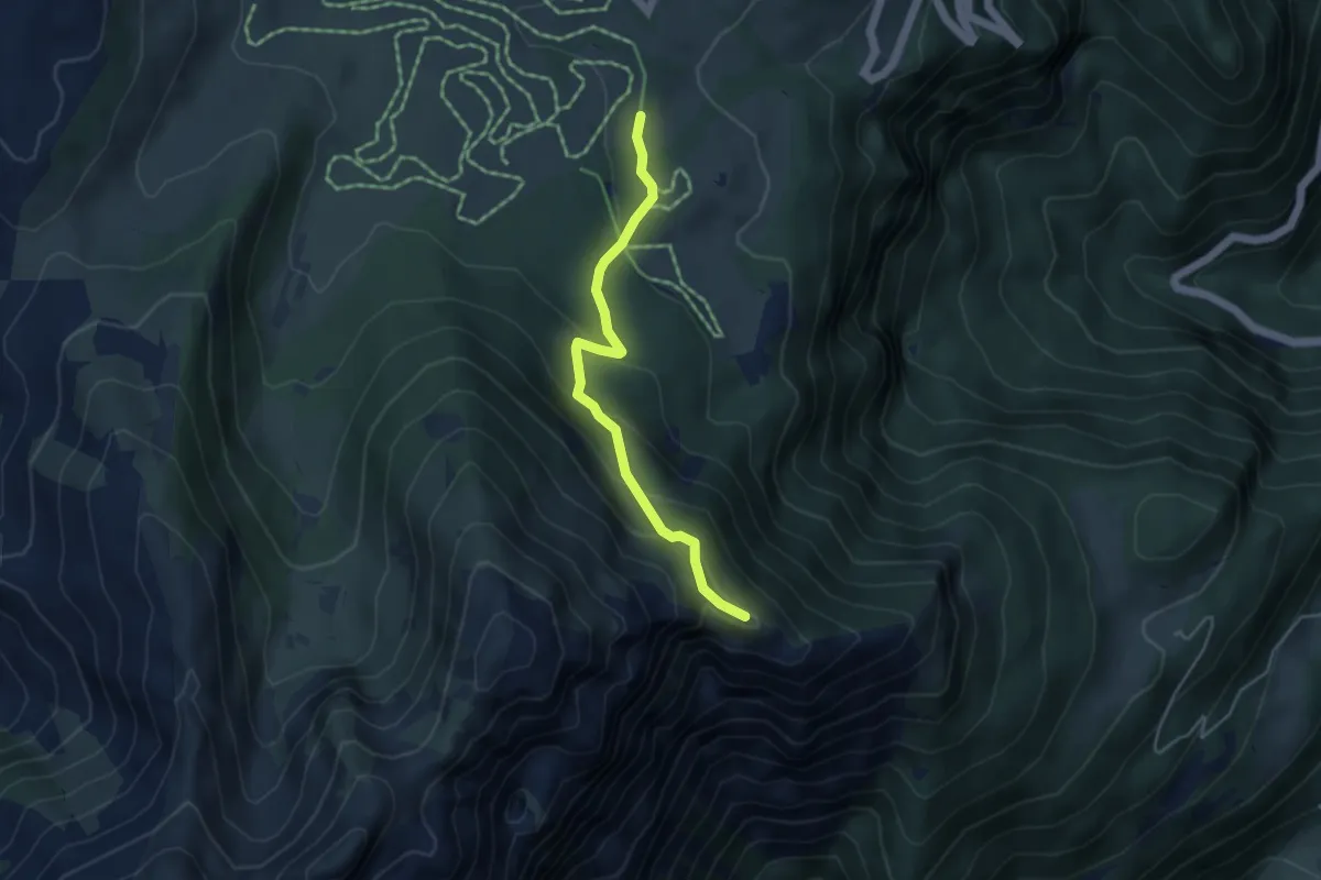
Medium · Trail
Sentiero delle Pozze
4.1 km · ↑ 256 m · 1 h 32 min · 9 km away
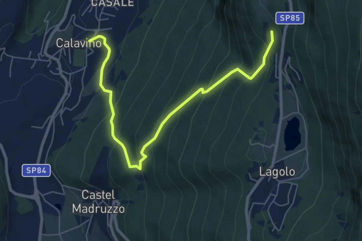
Medium · Trail
Strada dei Brozi
6.0 km · ↑ 533 m · 2 h 34 min · 10 km away
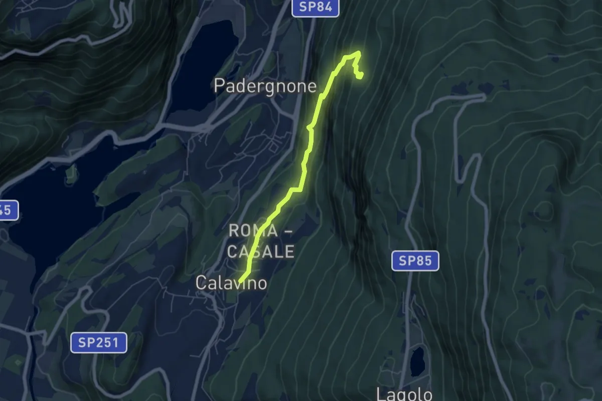
Medium · Trail
Calavino (bivio 619) – Ex Maso Conzeta (bivio 618)
5.5 km · ↑ 382 m · 2 h 7 min · 10 km away
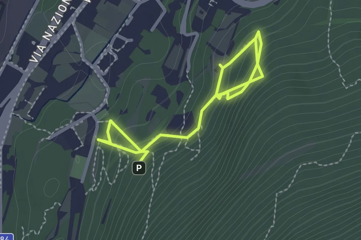
Easy · Trail
Sentiero geologico Antonio Stoppani
3.0 km · ↑ 272 m · 1 h 18 min · 10 km away
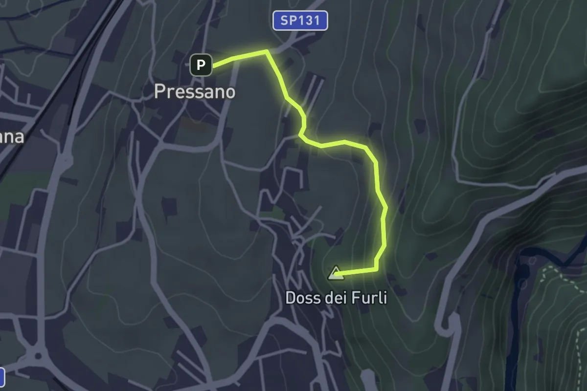
Easy · Summit
Dos Paion – Pressano
2.9 km · ↑ 169 m · 1 h 3 min · 10 km away
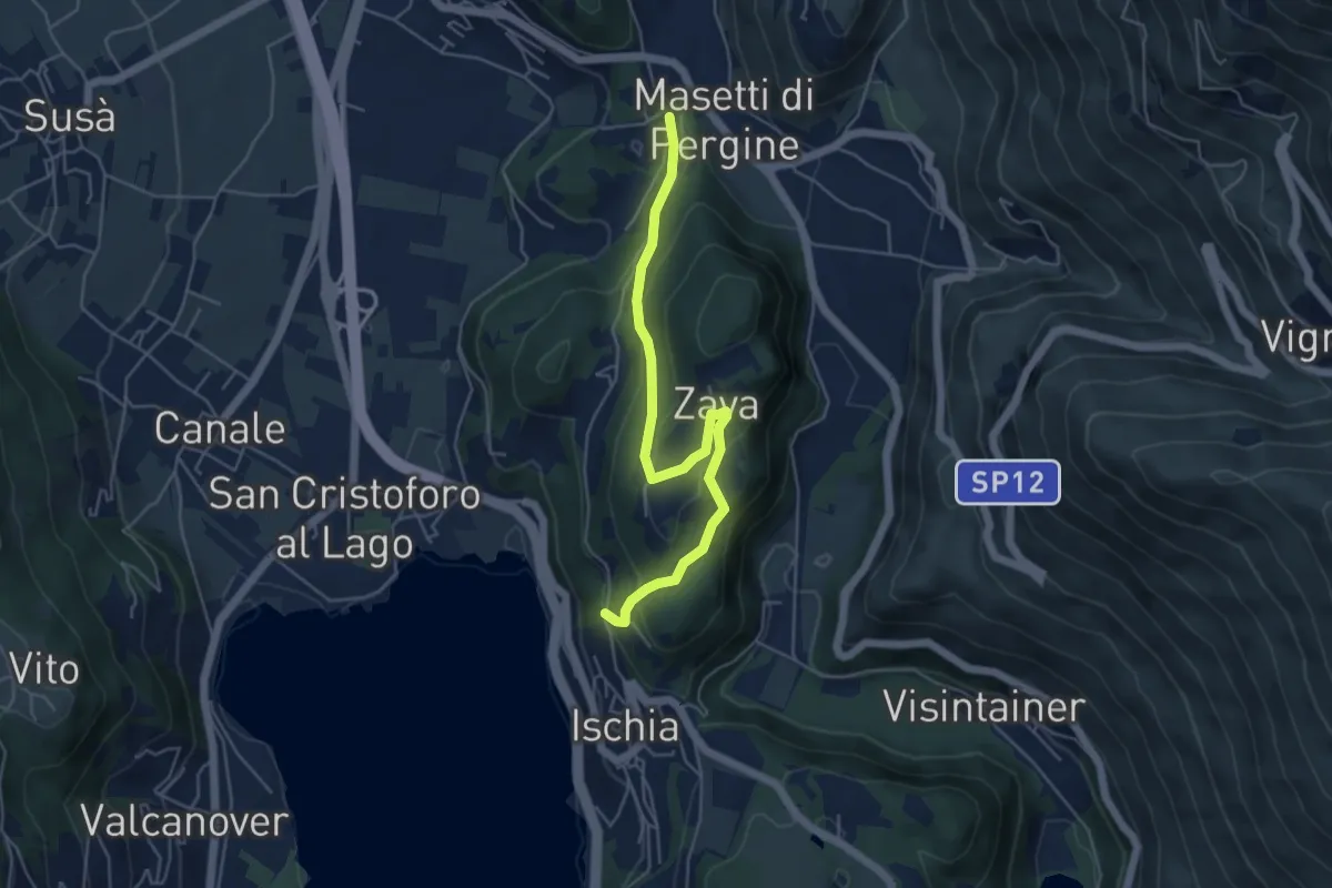
Easy · Trail
Giro de Zava
5.2 km · ↑ 277 m · 1 h 49 min · 10 km away
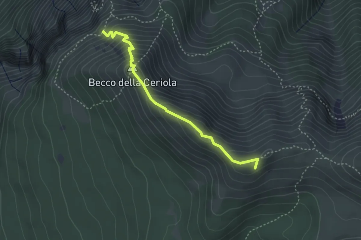
Expert · Summit
Sentiero attrezzato Caduti della Montagna
3.4 km · ↑ 363 m · 1 h 35 min · 10 km away
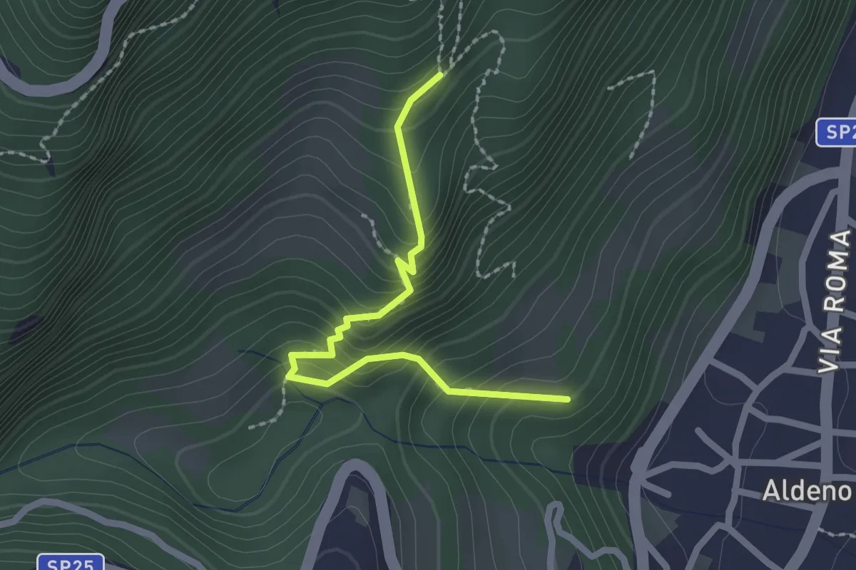
Medium · Trail
Sentiero Postal
2.1 km · ↑ 238 m · 1 h 1 min · 10 km away
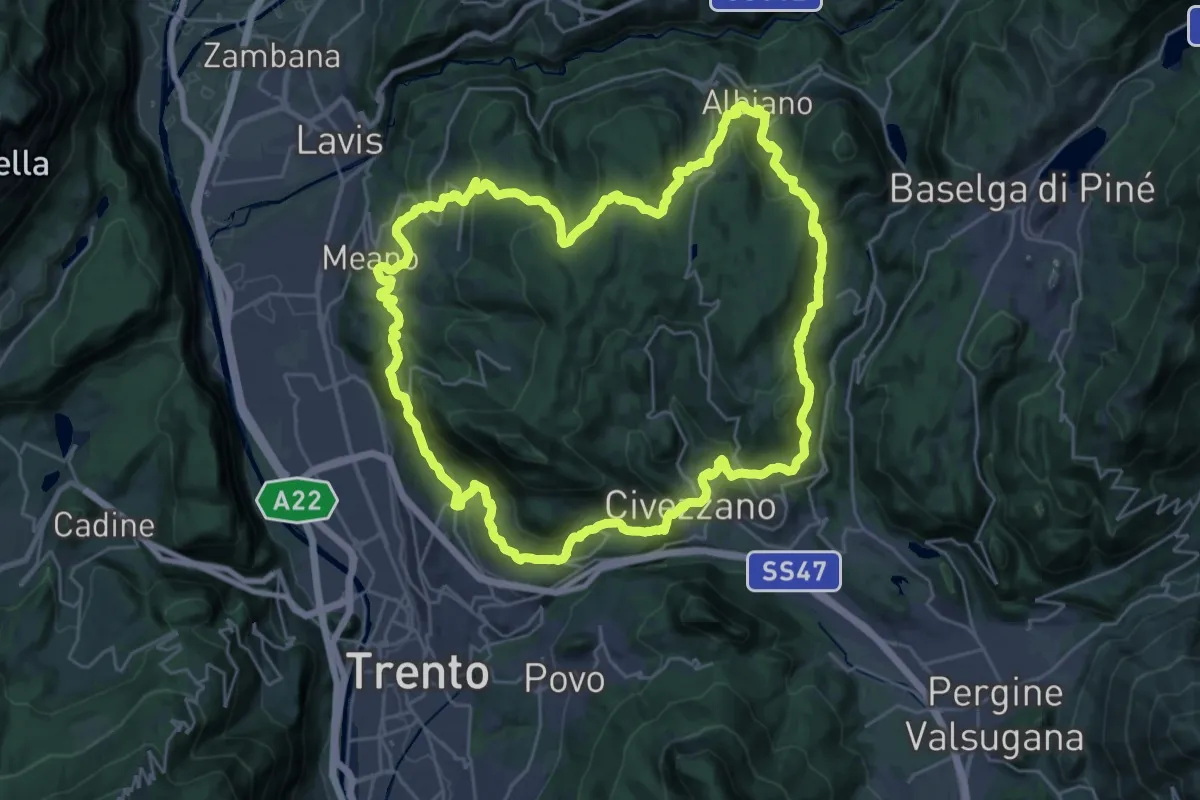
Demanding · Summit
Giro del Calisio
29.0 km · ↑ 1204 m · 9 h 51 min · 10 km away
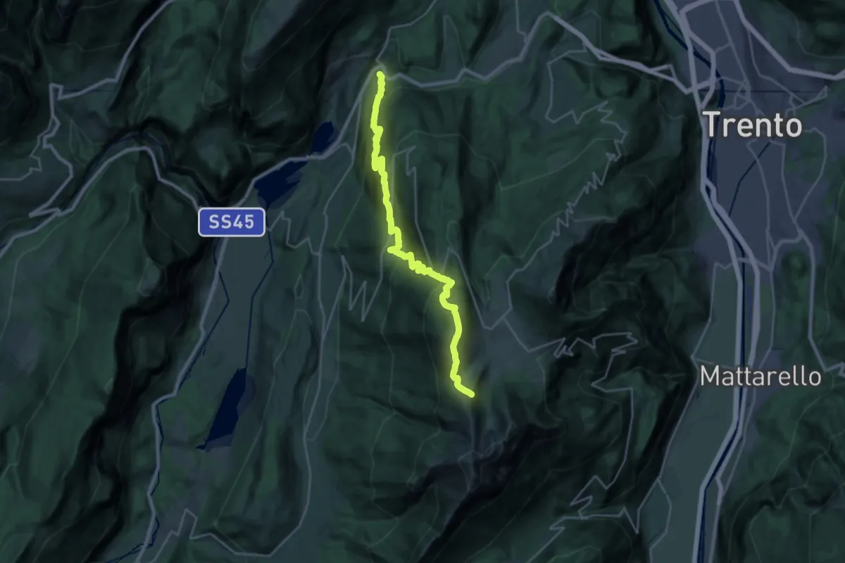
Medium · Trail
Vezzano – Costa dei Cavai (bivio 607)
12.1 km · ↑ 199 m · 4 h 10 min · 10 km away
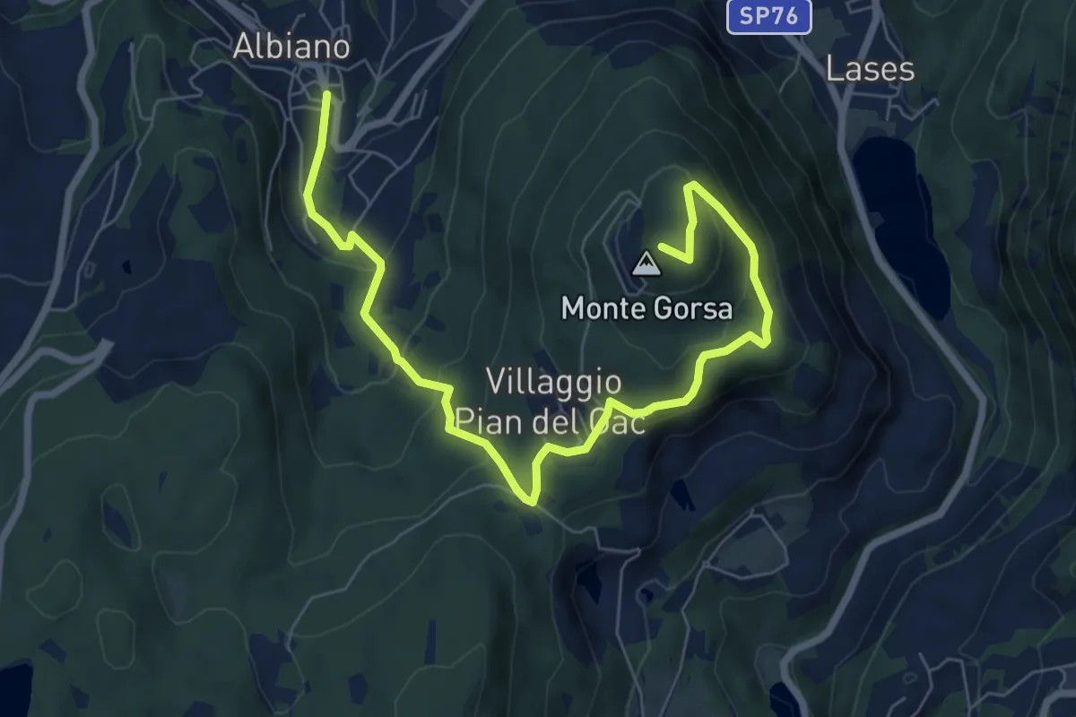
Medium · Summit
Sentiero schivabrighe per Fornas
8.4 km · ↑ 446 m · 2 h 57 min · 10 km away
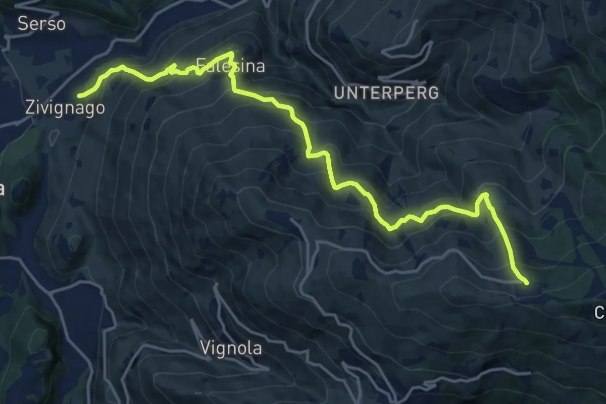
Demanding · Trail
Cargadora - Zivignago – Ristorante Panarotta (bivio 235)
14.7 km · ↑ 1366 m · 6 h 27 min · 10 km away
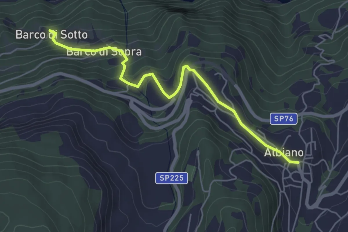
Easy · Trail
Le chiesette di Albiano
4.9 km · ↑ 244 m · 1 h 41 min · 10 km away
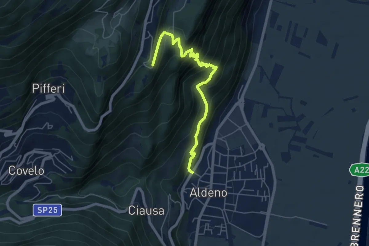
Demanding · Trail
Sentiero del Perch
5.0 km · ↑ 542 m · 2 h 21 min · 10 km away
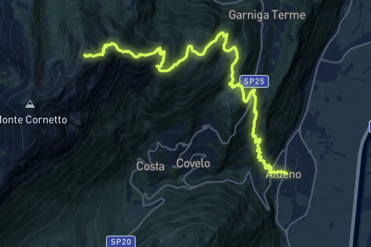
Demanding · Summit
Via ferrata dei Sparavèi
18.6 km · ↑ 1945 m · 8 h 37 min · 10 km away
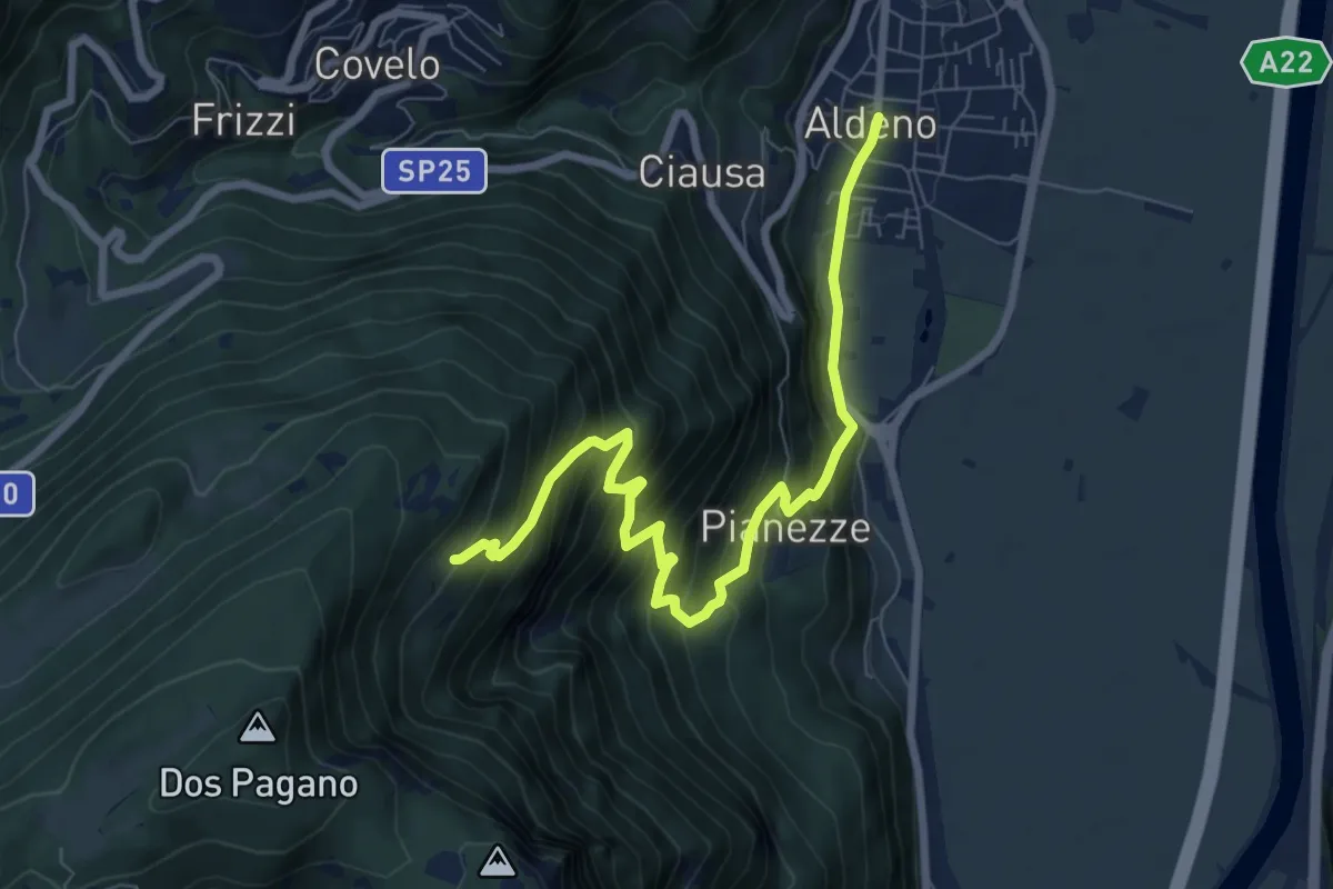
Demanding · Cabin
Sentiero di Valstornada
8.3 km · ↑ 852 m · 3 h 49 min · 10 km away