Trails near Trento
166 hikes starting within 15 km, nearest first.
Nearest first, page 3 of 4
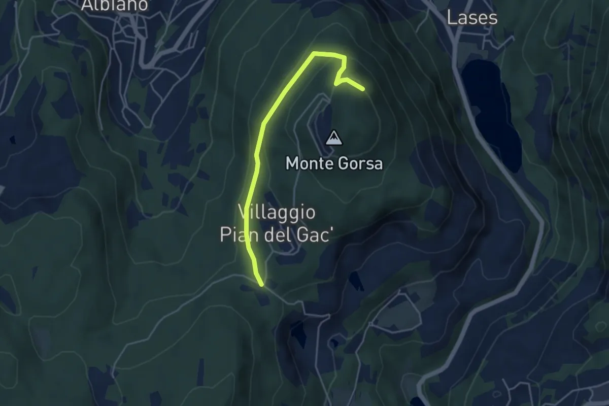
Easy · Trail
Pian del Gacc (bivio 474) – Versante nord del Monte Gorsa (bivio 474)
3.8 km · ↑ 154 m · 1 h 14 min · 11 km away
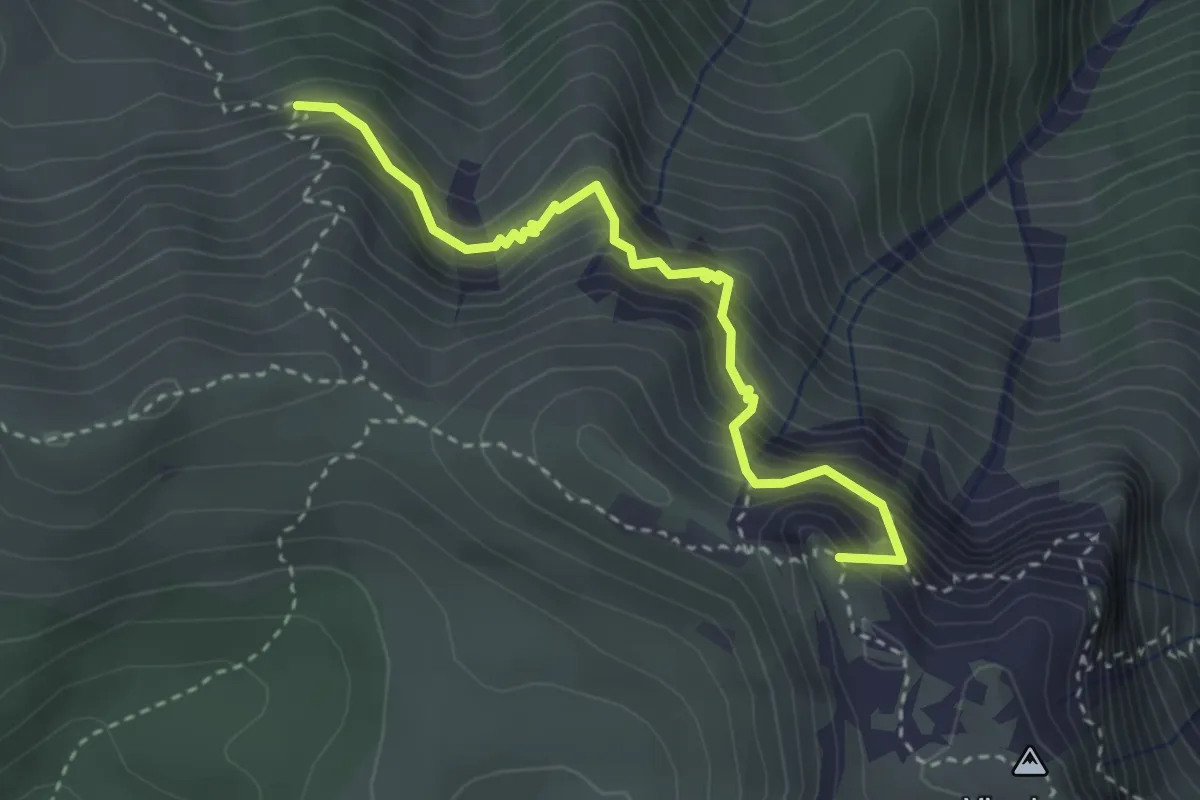
Demanding · Summit
Sentiero Attrezzato delle Grattarole
3.3 km · ↑ 500 m · 1 h 52 min · 11 km away
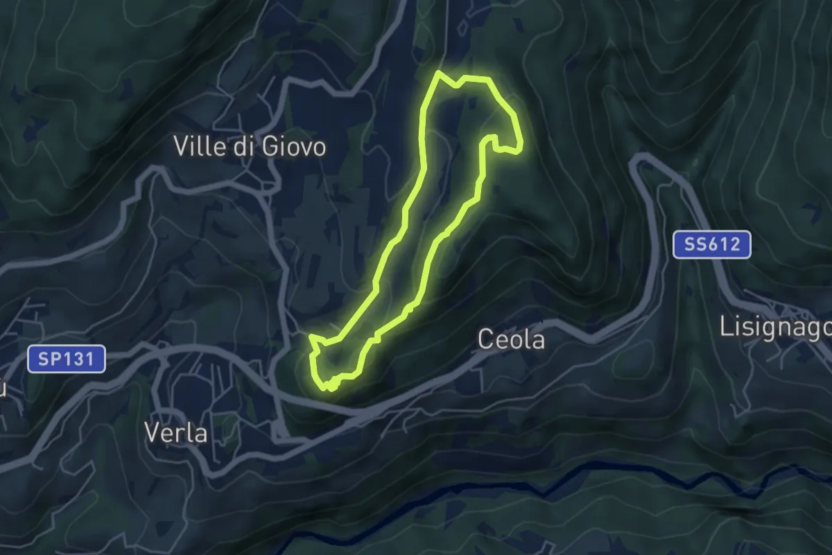
Easy · Trail
Sentiero naturalistico del Mancabrot
4.0 km · ↑ 186 m · 1 h 25 min · 11 km away
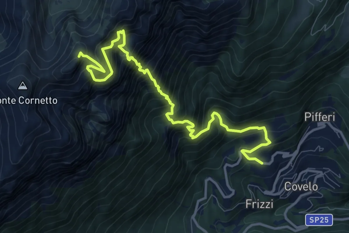
Expert · Summit
Sentiero alpinistico del Coraza
10.9 km · ↑ 2150 m · 7 h 14 min · 11 km away
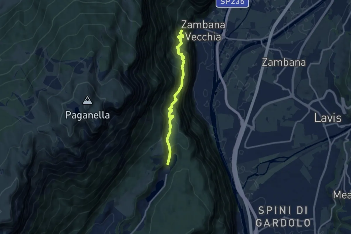
Medium · Trail
Molinel (bivio 680) – Lago di Lamar (bivio 627)
7.7 km · ↑ 673 m · 3 h 16 min · 11 km away
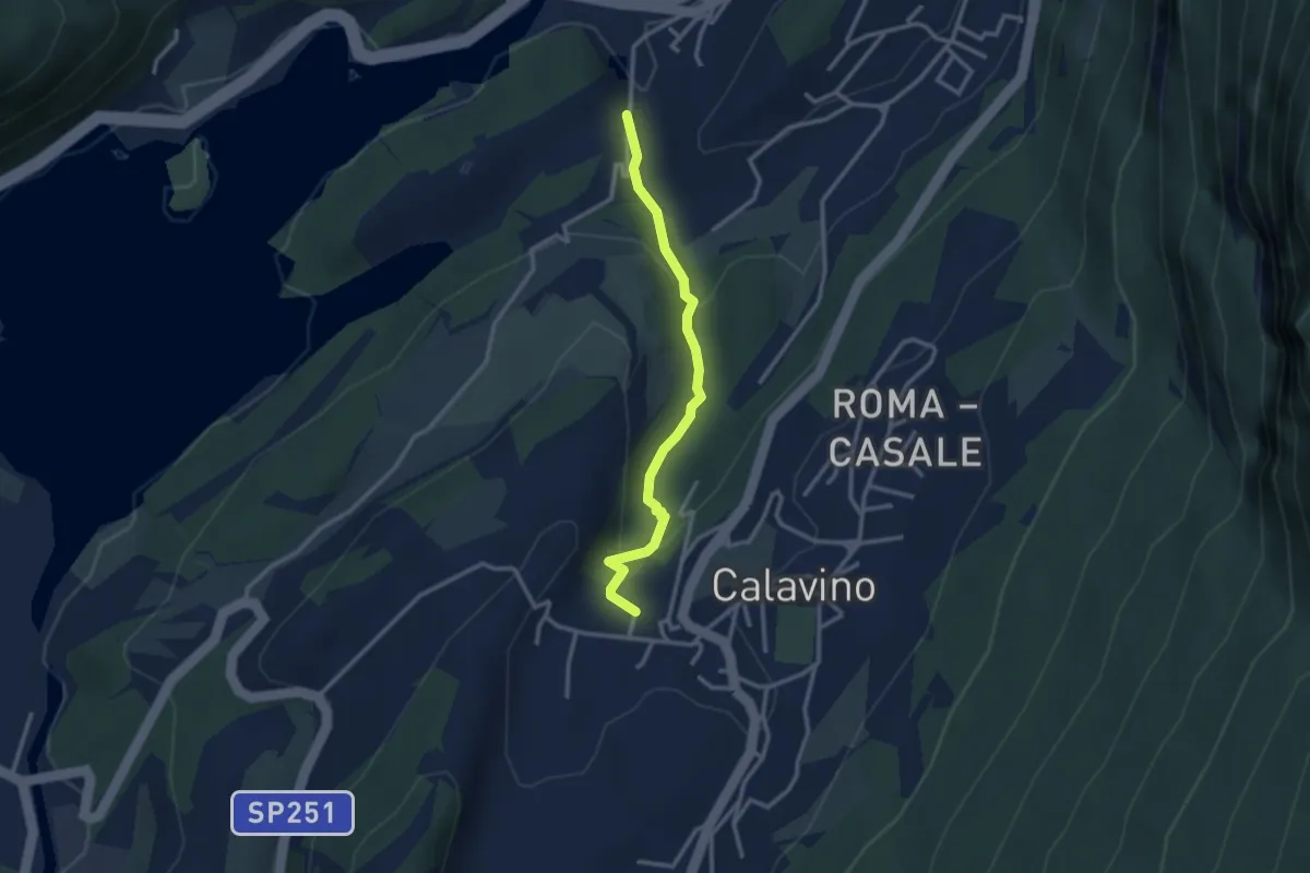
Easy · Trail
Calavino e la sua roggia
2.8 km · ↑ 110 m · 54 min · 11 km away
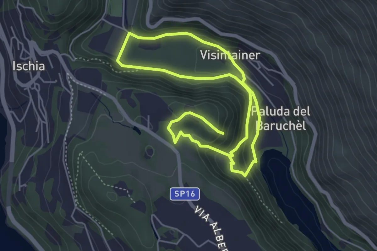
Easy · Trail
Itinerario Biotopo Pizé - Val de l'Orco
4.0 km · ↑ 199 m · 1 h 28 min · 11 km away
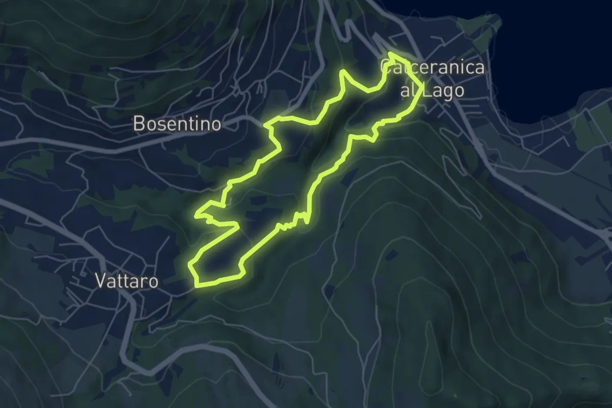
Easy · Trail
Percorso Minatore
5.5 km · ↑ 269 m · 1 h 57 min · 11 km away
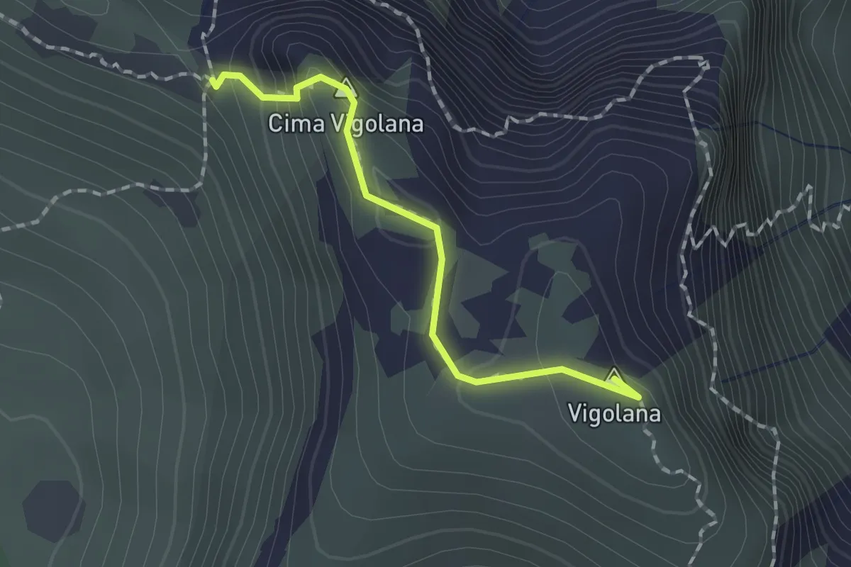
Demanding · Summit
Bocca Lavinella (bivio 450 453) – Bocca di Val Larga (bivio 425)
1.5 km · ↑ 91 m · 33 min · 11 km away
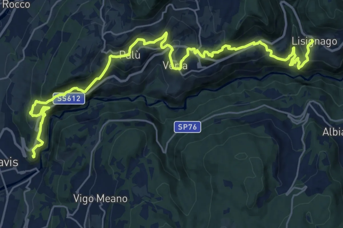
Demanding · Summit
Cammino delle terre sospese - Tappa 1
22.9 km · ↑ 1363 m · 8 h 21 min · 11 km away
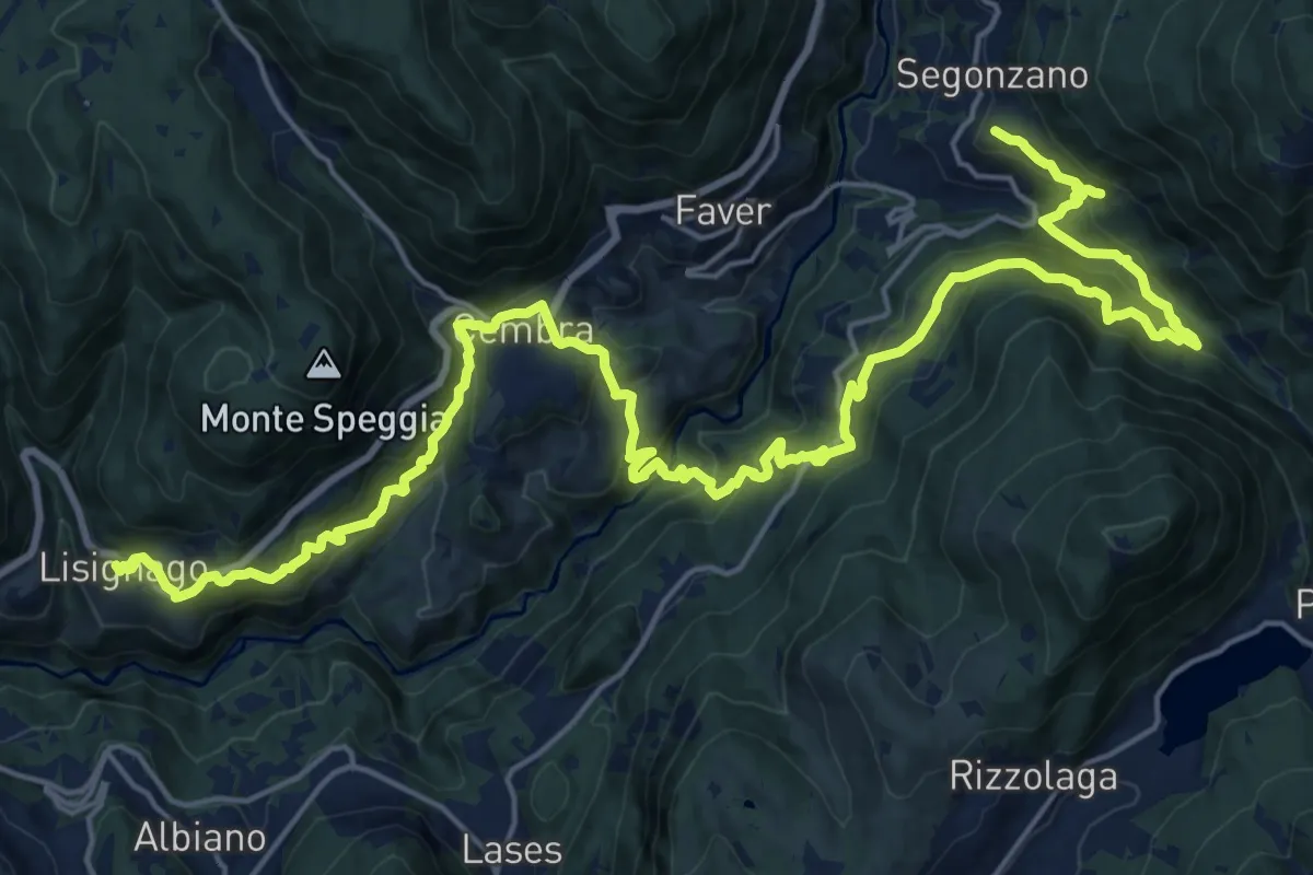
Demanding · Trail
Cammino delle terre sospese - Tappa 2
15.1 km · ↑ 1032 m · 5 h 56 min · 11 km away
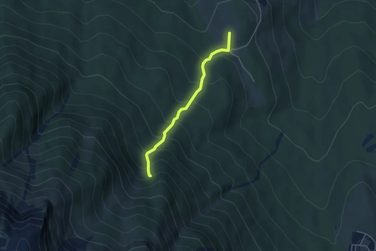
Medium · Summit
Ex Malga Doss del Bugo – Val Larga (bivio 444)
3.0 km · ↑ 365 m · 1 h 30 min · 12 km away
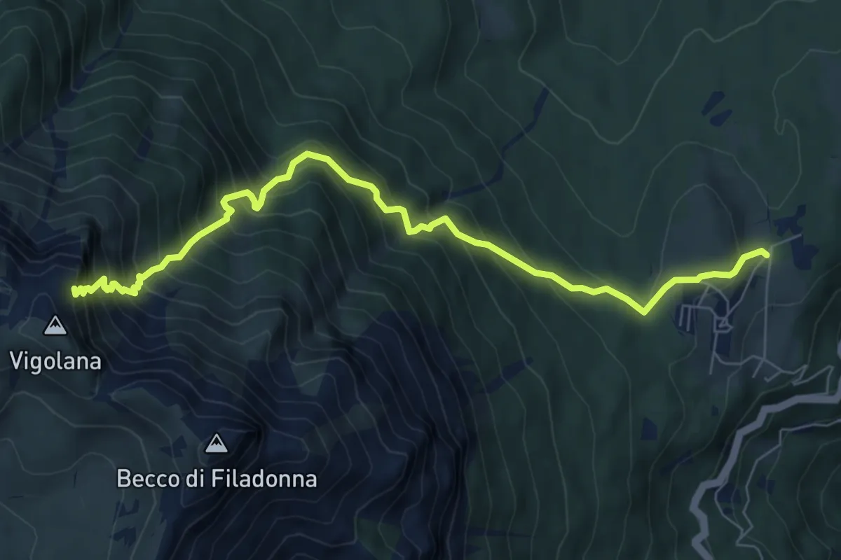
Demanding · Cabin
March (Rifugio Paludèi) – Percorso 425
7.8 km · ↑ 1112 m · 4 h 15 min · 12 km away
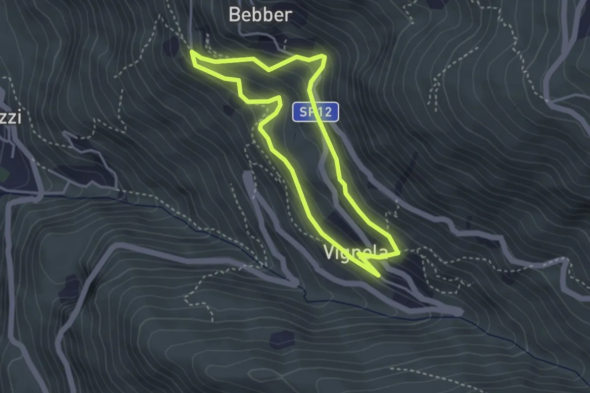
Easy · Trail
Trekking Minatore
3.0 km · ↑ 221 m · 1 h 14 min · 12 km away
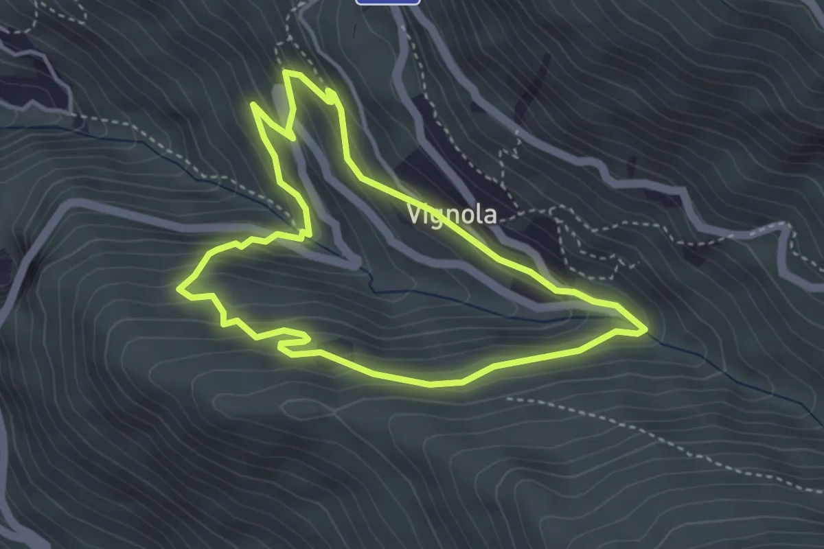
Easy · Trail
Percorso Natura
3.6 km · ↑ 264 m · 1 h 28 min · 12 km away
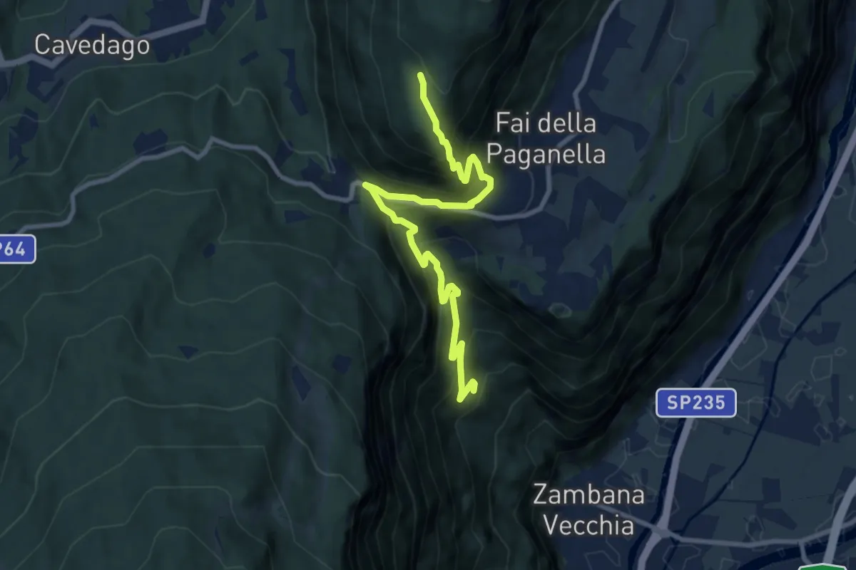
Demanding · Trail
Sentiero di Val Manara
9.1 km · ↑ 847 m · 3 h 59 min · 12 km away
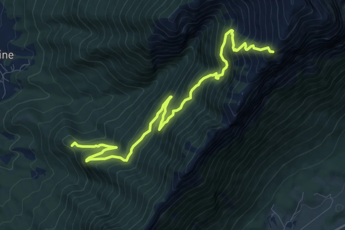
Demanding · Summit
Sentiero dei Carboneri
11.9 km · ↑ 1188 m · 5 h 22 min · 12 km away
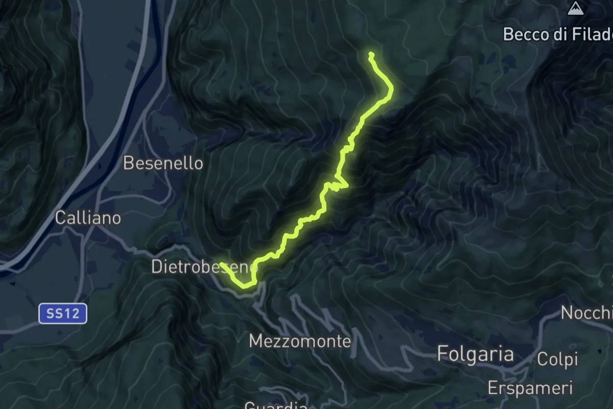
Demanding · Trail
Val di Gola
12.8 km · ↑ 1337 m · 5 h 55 min · 12 km away
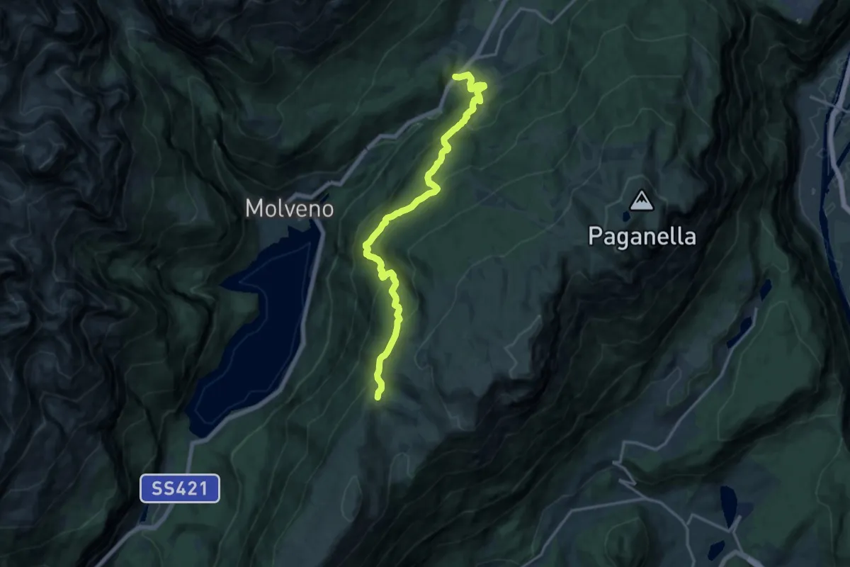
Demanding · Trail
Laghet (frazione di Andalo) – Passo di San Giovanni (bivio 602 - 612 - 644)
15.4 km · ↑ 932 m · 5 h 40 min · 12 km away
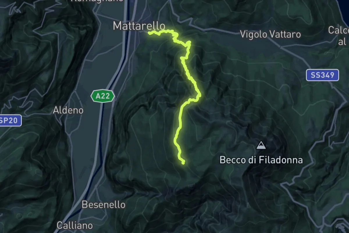
Medium · Trail
Pont dei Micoti - Mattarello – Malga Palazzo (bivio 431 - 448 - 452)
10.7 km · ↑ 247 m · 3 h 53 min · 12 km away
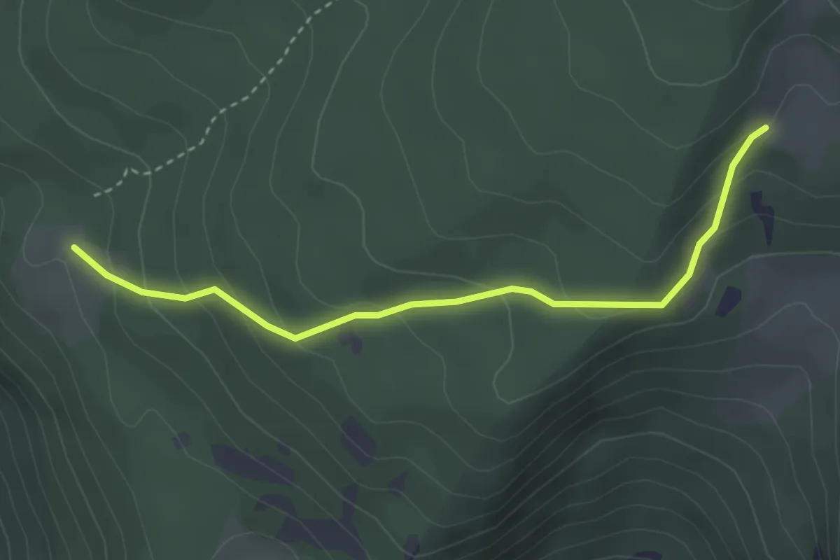
Easy · Trail
Malga Palazzo (bivio 431 - 446 - 448) – Pozza Arionda (bivio 453)
3.3 km · ↑ 213 m · 1 h 15 min · 12 km away
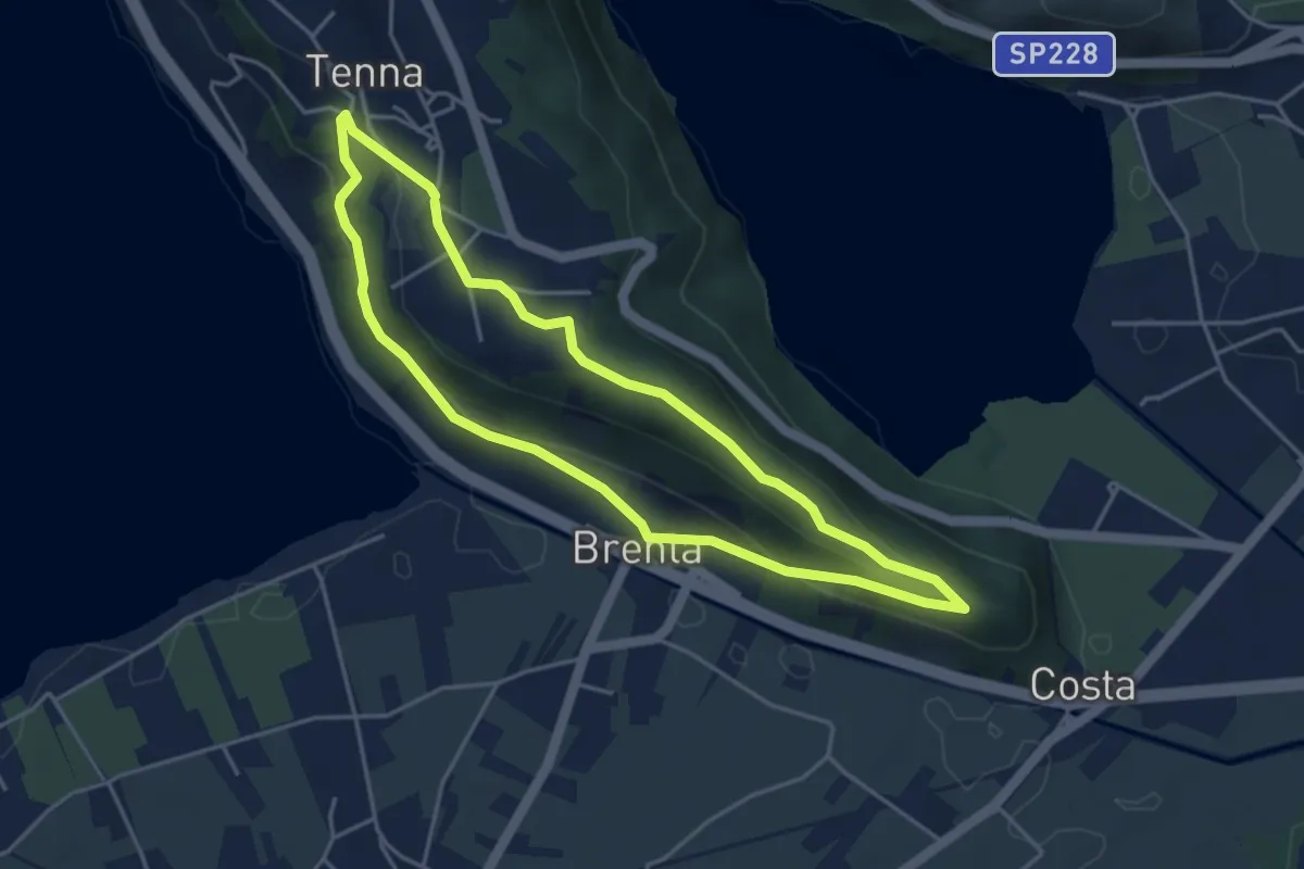
Easy · Trail
Itinerario Ex Forte - San Valentino
4.1 km · ↑ 121 m · 1 h 17 min · 12 km away
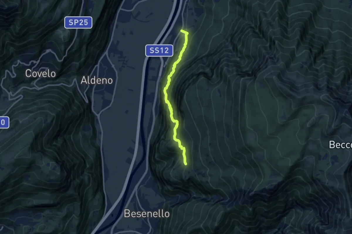
Demanding · Trail
Sentiero dell'Imperatore
9.7 km · ↑ 814 m · 4 h 4 min · 12 km away
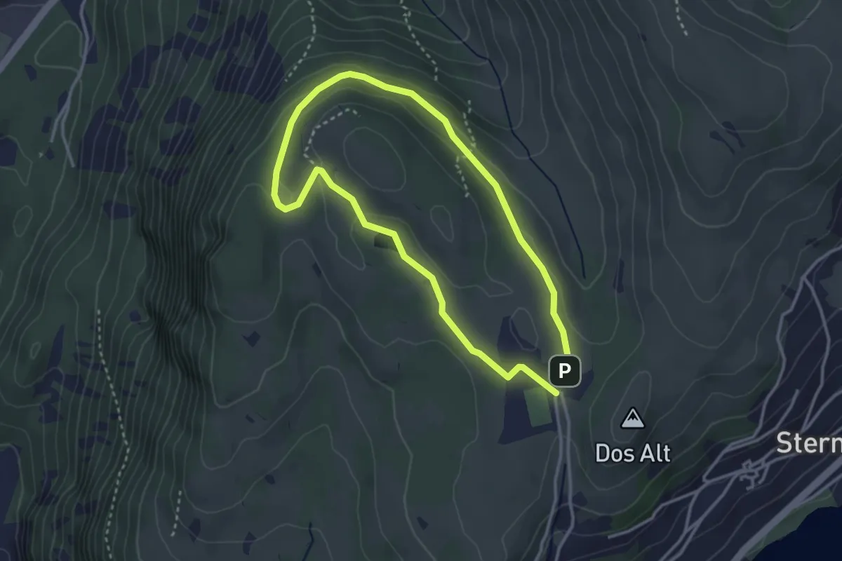
Easy · Trail
Giro di Bedolpian
2.9 km · ↑ 73 m · 53 min · 13 km away
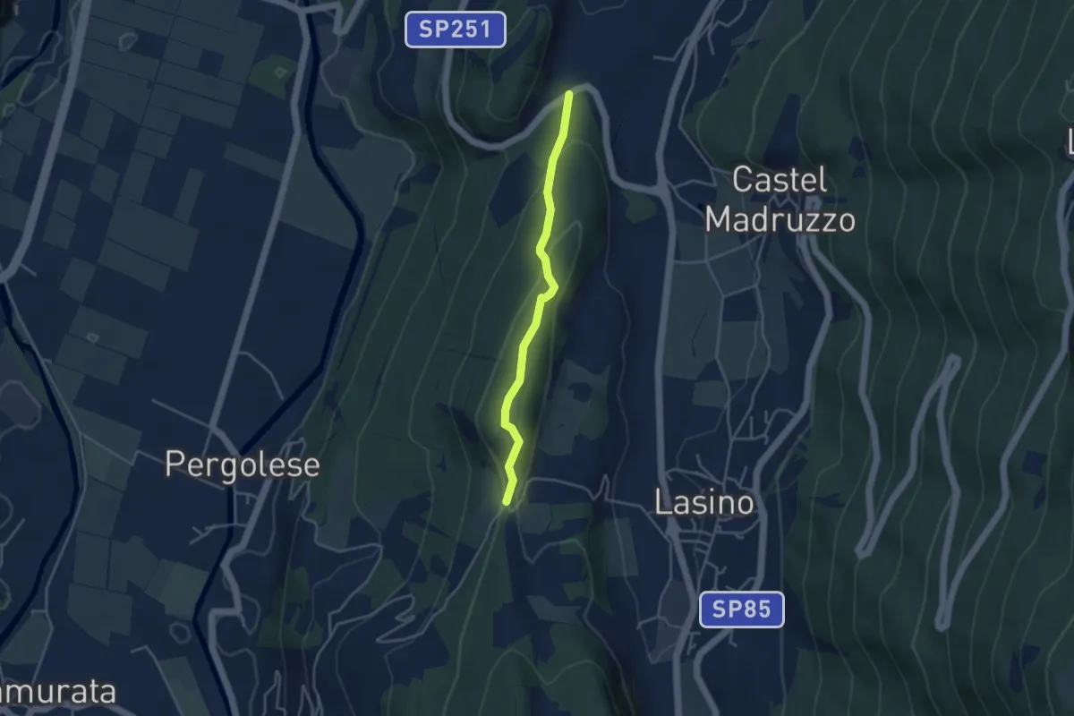
Easy · Trail
Passeggiata Calavino
3.5 km · ↑ 137 m · 1 h 8 min · 13 km away
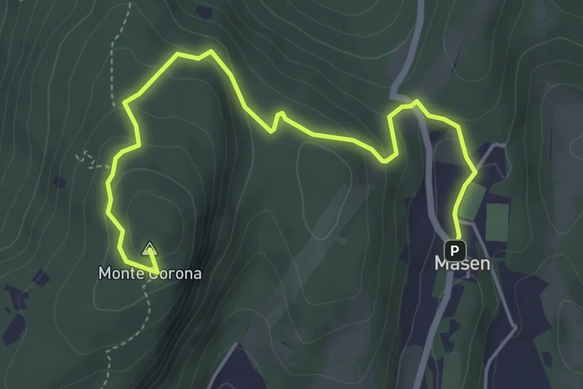
Medium · Summit
Masen – Monte Corona - Dos Paion
5.0 km · ↑ 237 m · 1 h 42 min · 13 km away
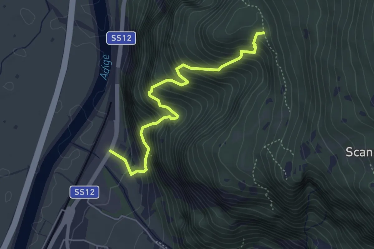
Medium · Trail
Presso posta vecchia di Besenello – Quota 766
4.6 km · ↑ 639 m · 2 h 28 min · 13 km away
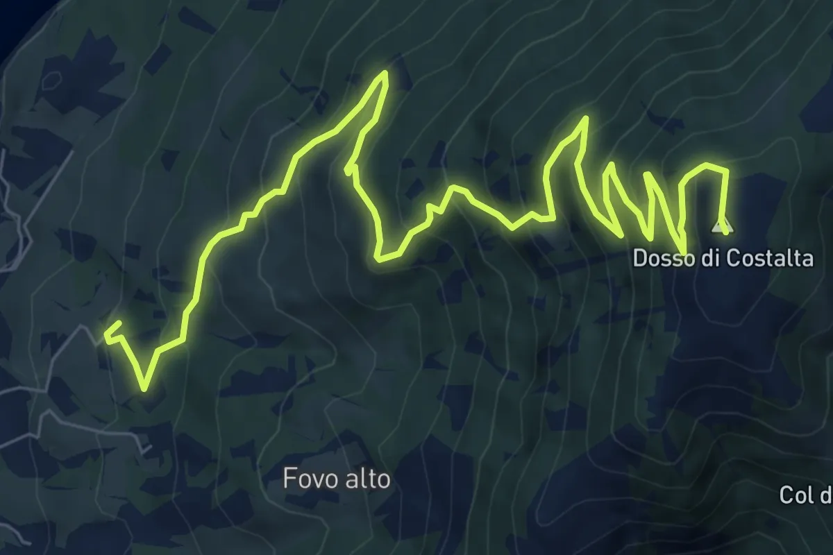
Demanding · Summit
Sentiero di Costalta
11.2 km · ↑ 881 m · 4 h 33 min · 13 km away
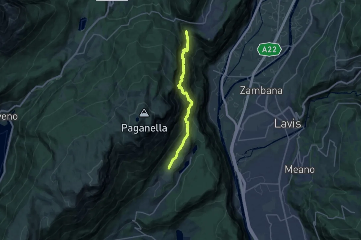
Demanding · Trail
Senter attrezzato dei Pontesèi
13.0 km · ↑ 1744 m · 6 h 51 min · 13 km away
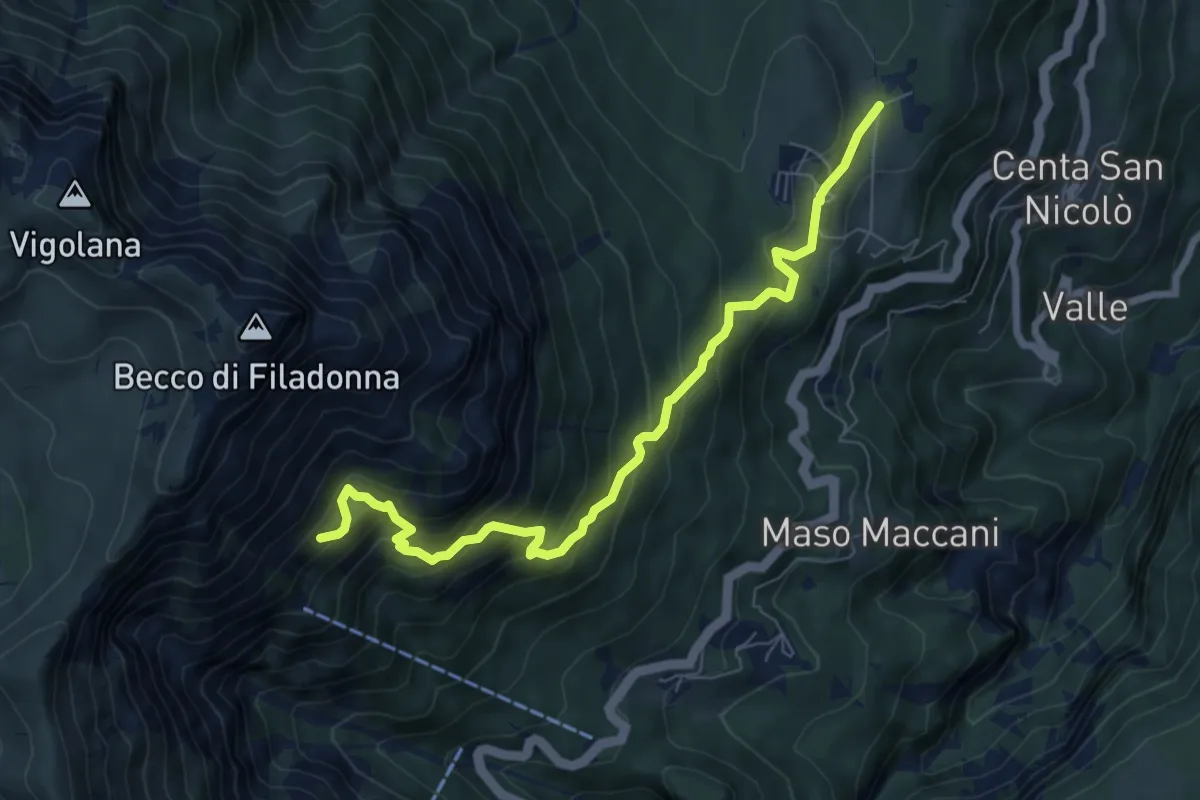
Demanding · Cabin
Sentiero attrezzato dei pastori
7.7 km · ↑ 716 m · 3 h 22 min · 13 km away
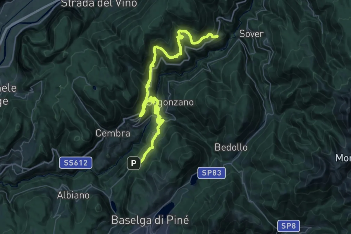
Demanding · Trail
Cammino delle terre sospese - Tappa 5
18.4 km · ↑ 1062 m · 6 h 49 min · 13 km away
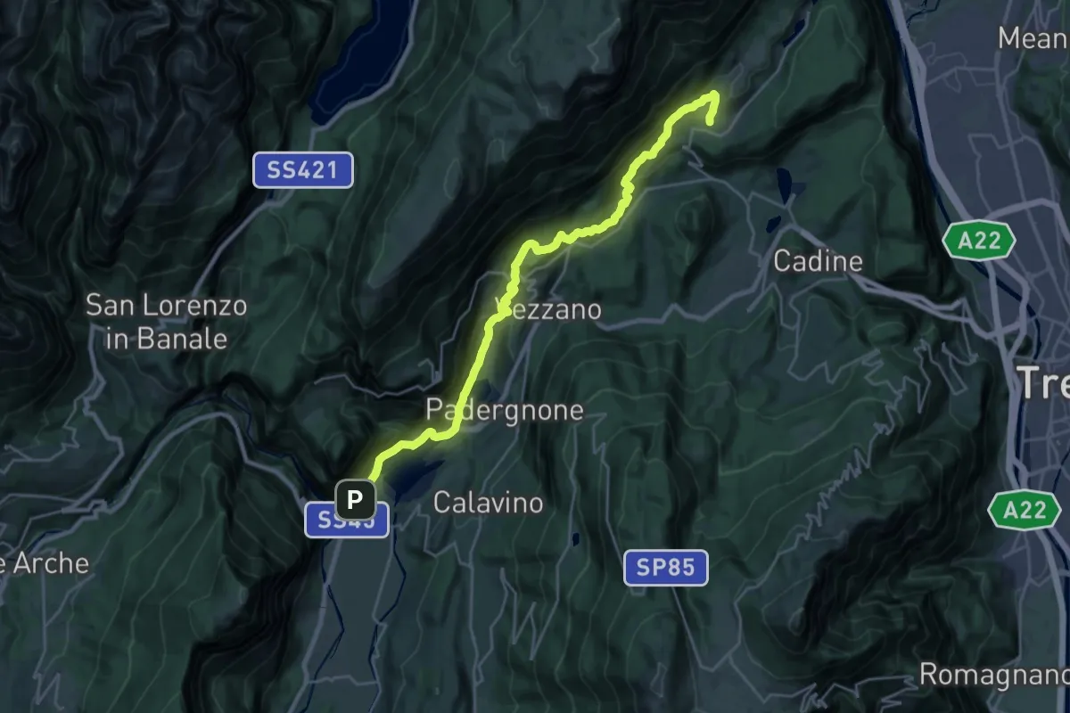
Medium · Trail
Cammino dei Sette Laghi - tappa 1
12.8 km · ↑ 734 m · 4 h 33 min · 13 km away
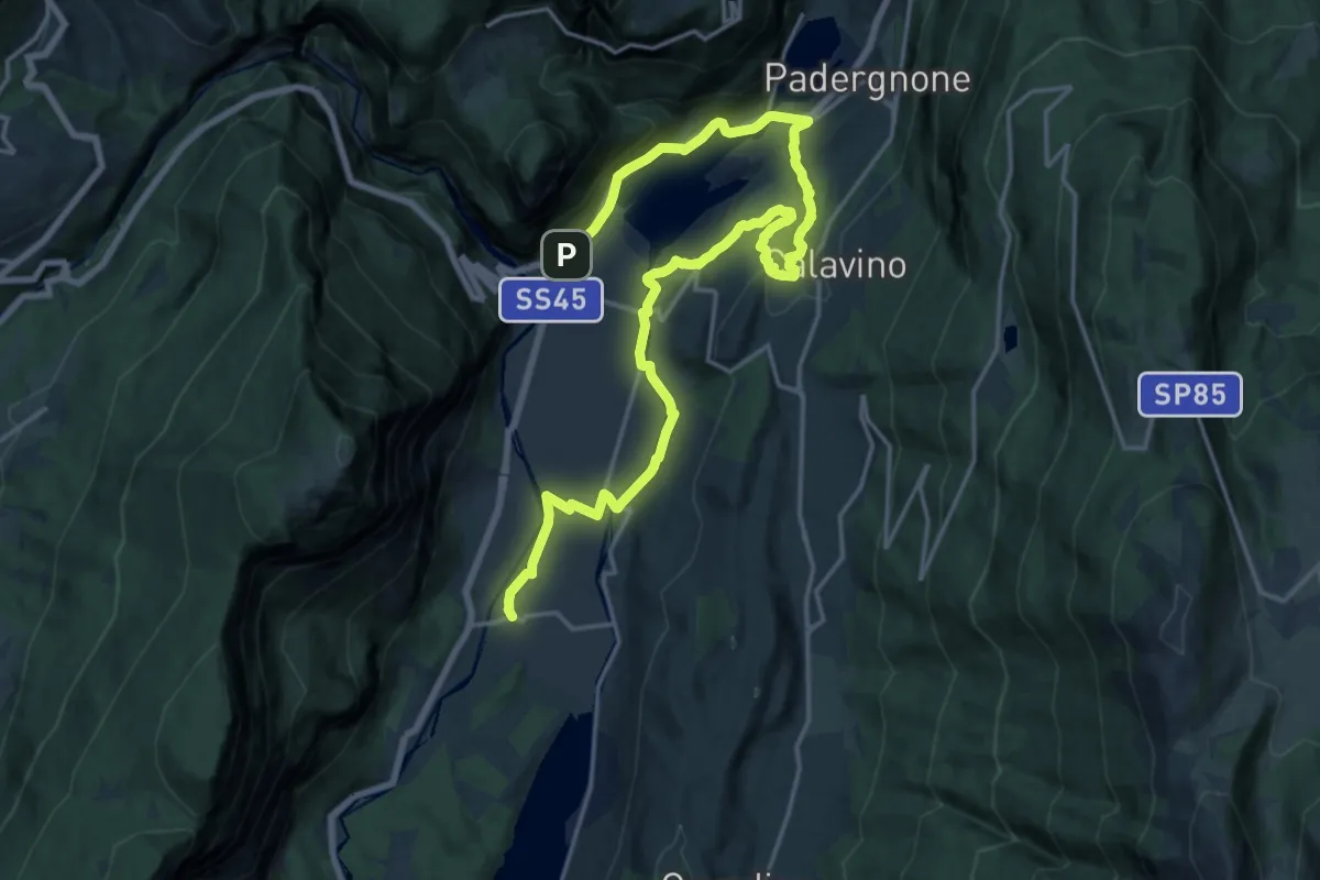
Demanding · Trail
Cammino dei Sette Laghi - tappa 5
24.0 km · ↑ 438 m · 6 h 38 min · 13 km away
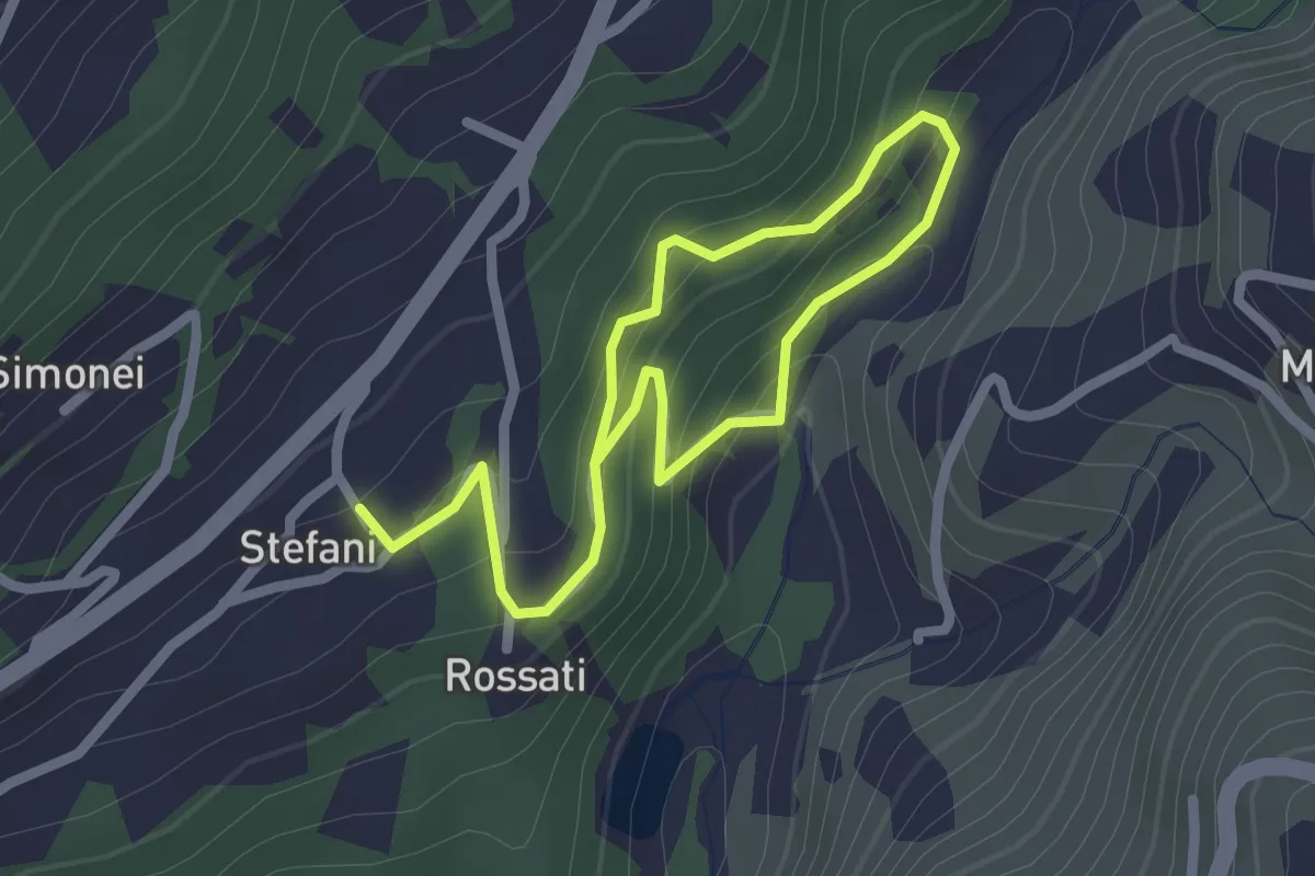
Easy · Trail
Sentiero Fatato
3.3 km · ↑ 174 m · 1 h 10 min · 14 km away
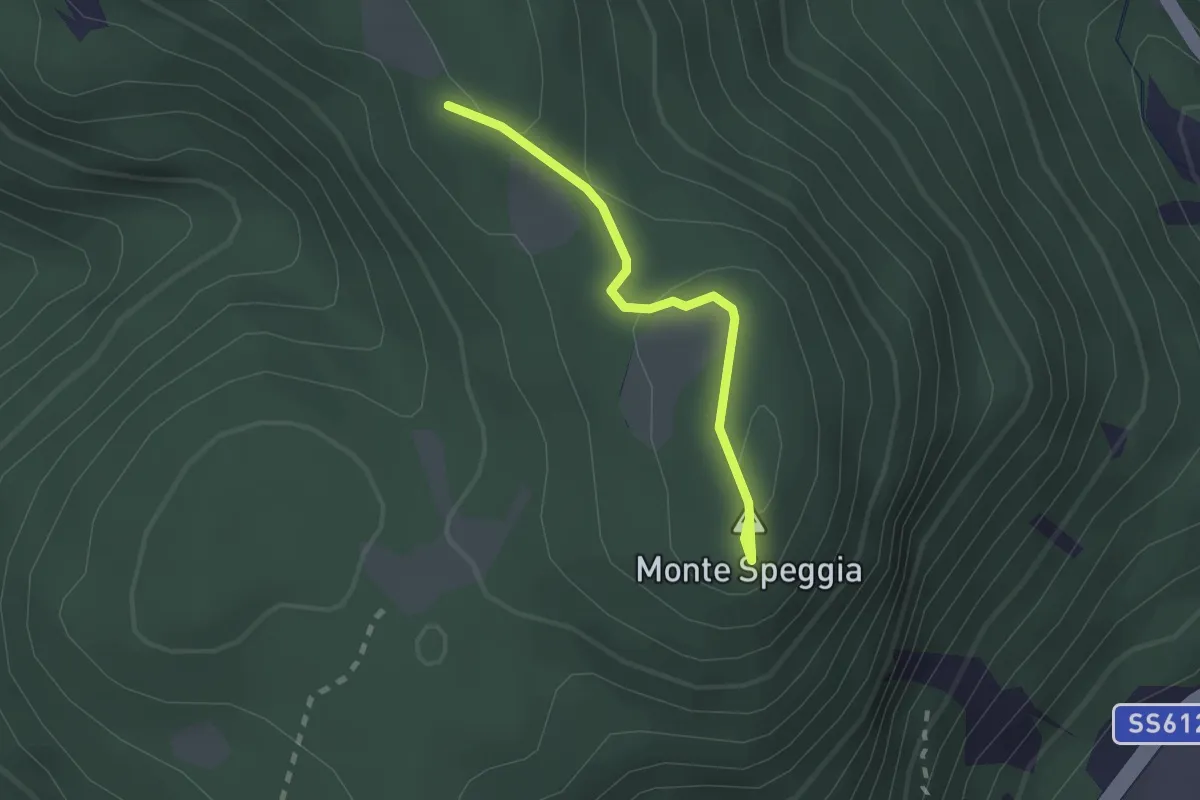
Easy · Summit
Sentiero del Piz dele Agole
1.8 km · ↑ 59 m · 34 min · 14 km away
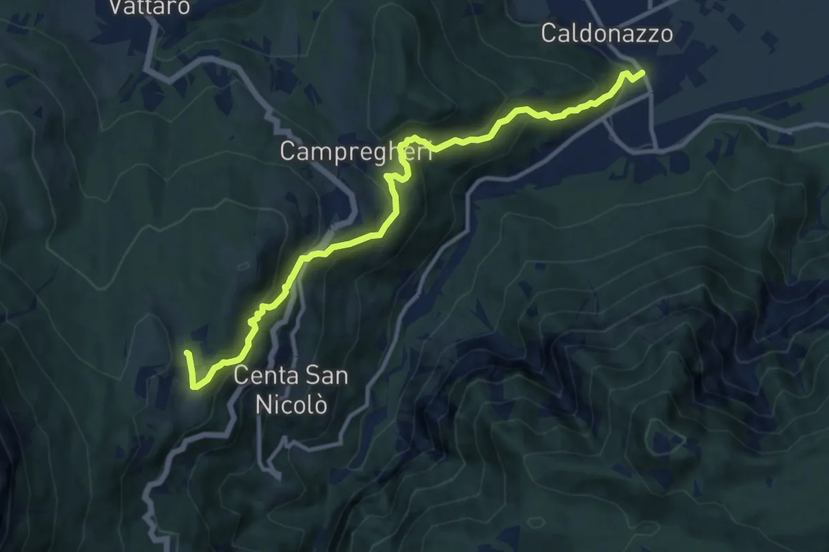
Medium · Cabin
Sentiero dei Ronchi
10.6 km · ↑ 666 m · 3 h 56 min · 14 km away
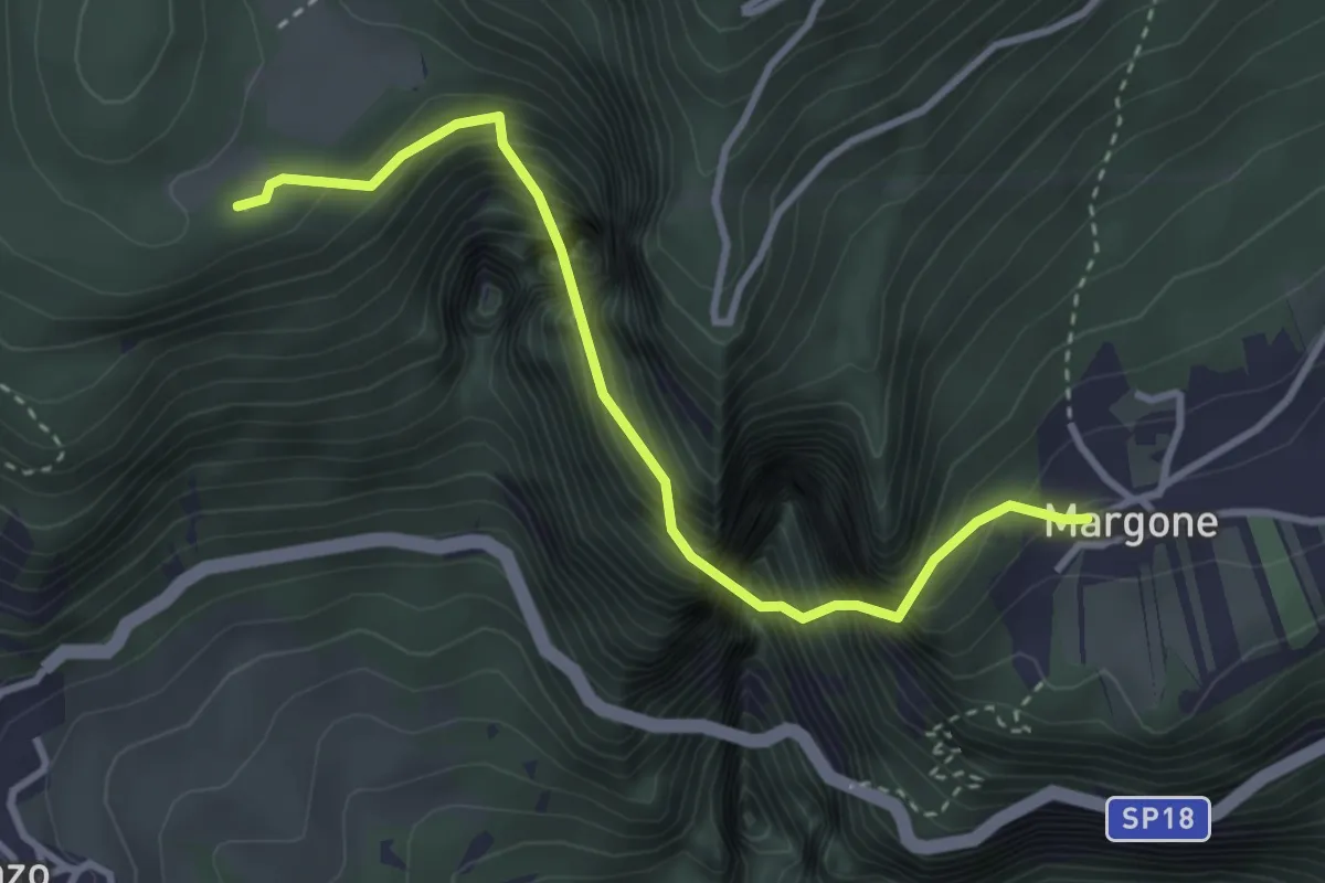
Demanding · Trail
Margone (bivio 627) – Presso Malga Bael (bivio 602)
3.3 km · ↑ 1170 m · 3 h 19 min · 14 km away
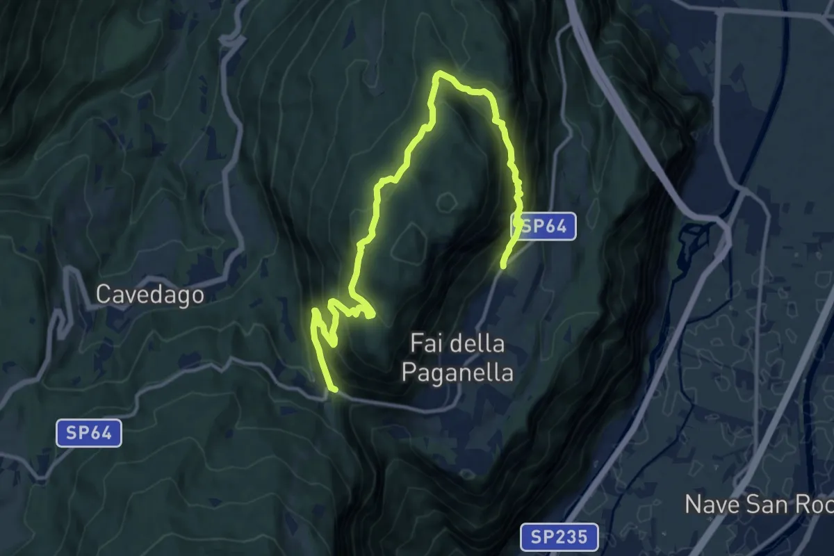
Demanding · Trail
Giro del Fausior
14.8 km · ↑ 1095 m · 5 h 51 min · 14 km away
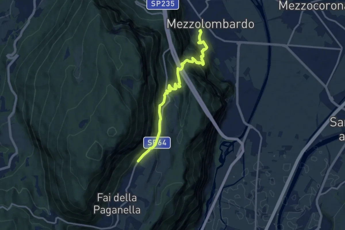
Demanding · Trail
Mezzolombardo – Fai - Le Coste (bivio 603)
9.4 km · ↑ 812 m · 3 h 59 min · 14 km away
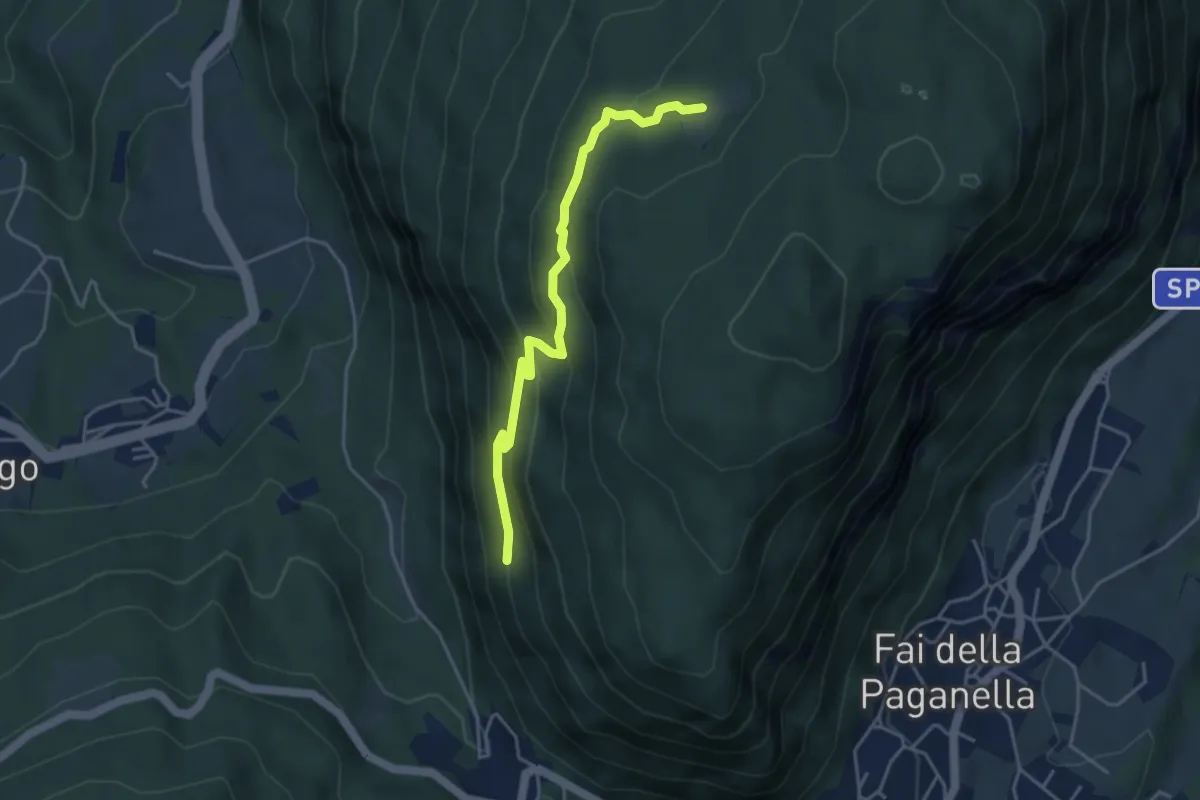
Medium · Trail
Sentiero delle Mozzane
4.1 km · ↑ 266 m · 1 h 32 min · 14 km away
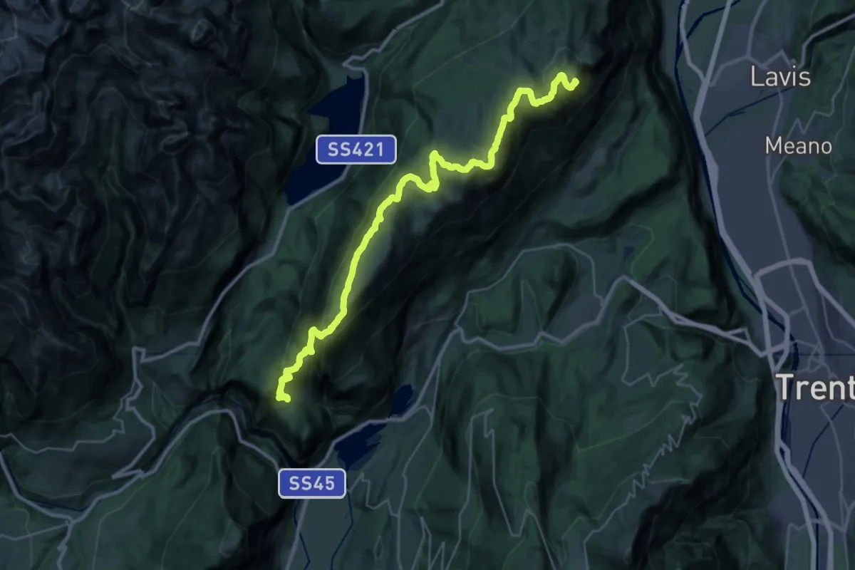
Demanding · Summit
La Roda - ex rifugio Cesare Battisti – Ranzo - chiesa di San Nicolò (bivio 627)
34.4 km · ↑ 2186 m · 12 h 52 min · 14 km away
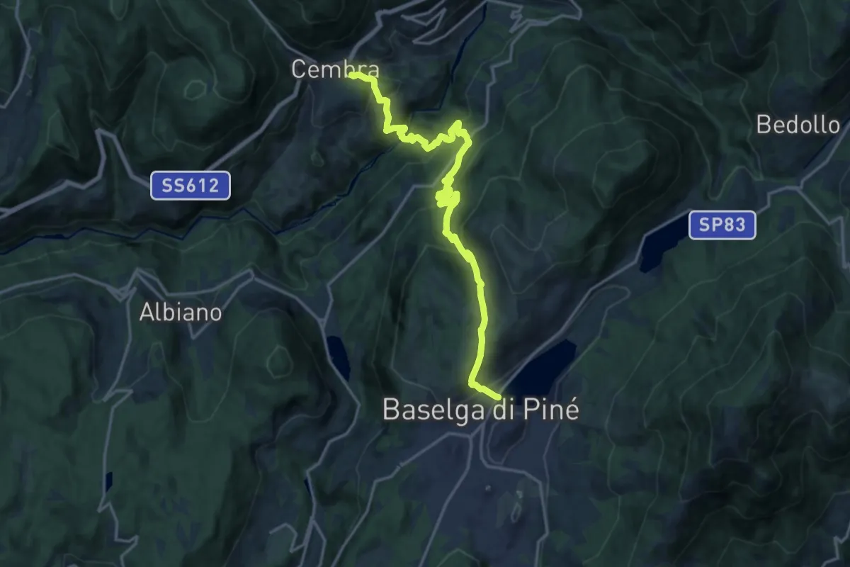
Demanding · Trail
Sentiero Cembra - Pinè
17.2 km · ↑ 1143 m · 6 h 32 min · 14 km away
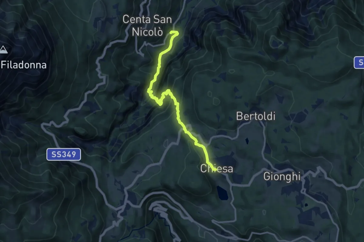
Medium · Trail
Sentiero dell'Ancino o del Lanzino
10.4 km · ↑ 742 m · 4 h 4 min · 14 km away
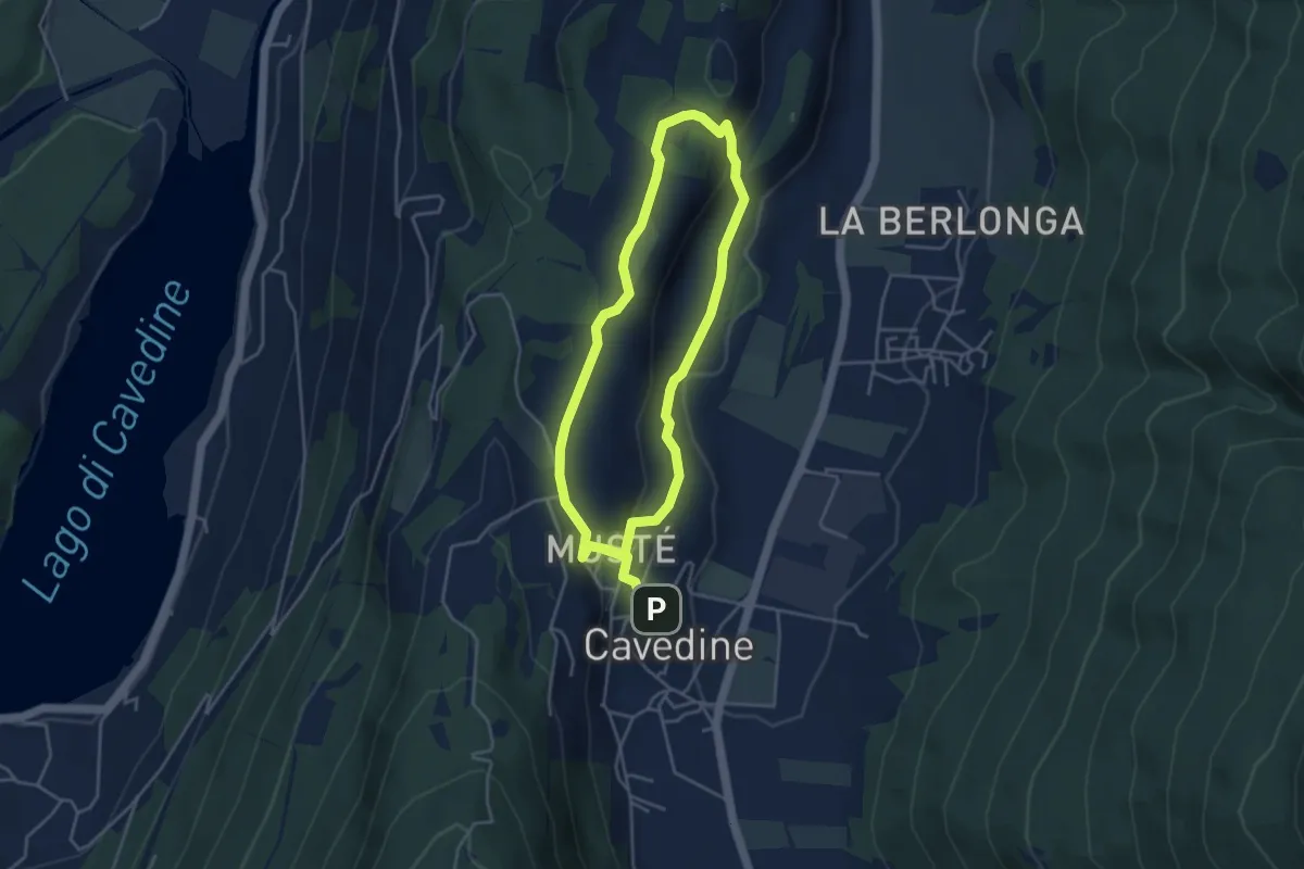
Easy · Trail
Passeggiata archeologica di Cavedine
3.8 km · ↑ 129 m · 1 h 12 min · 14 km away
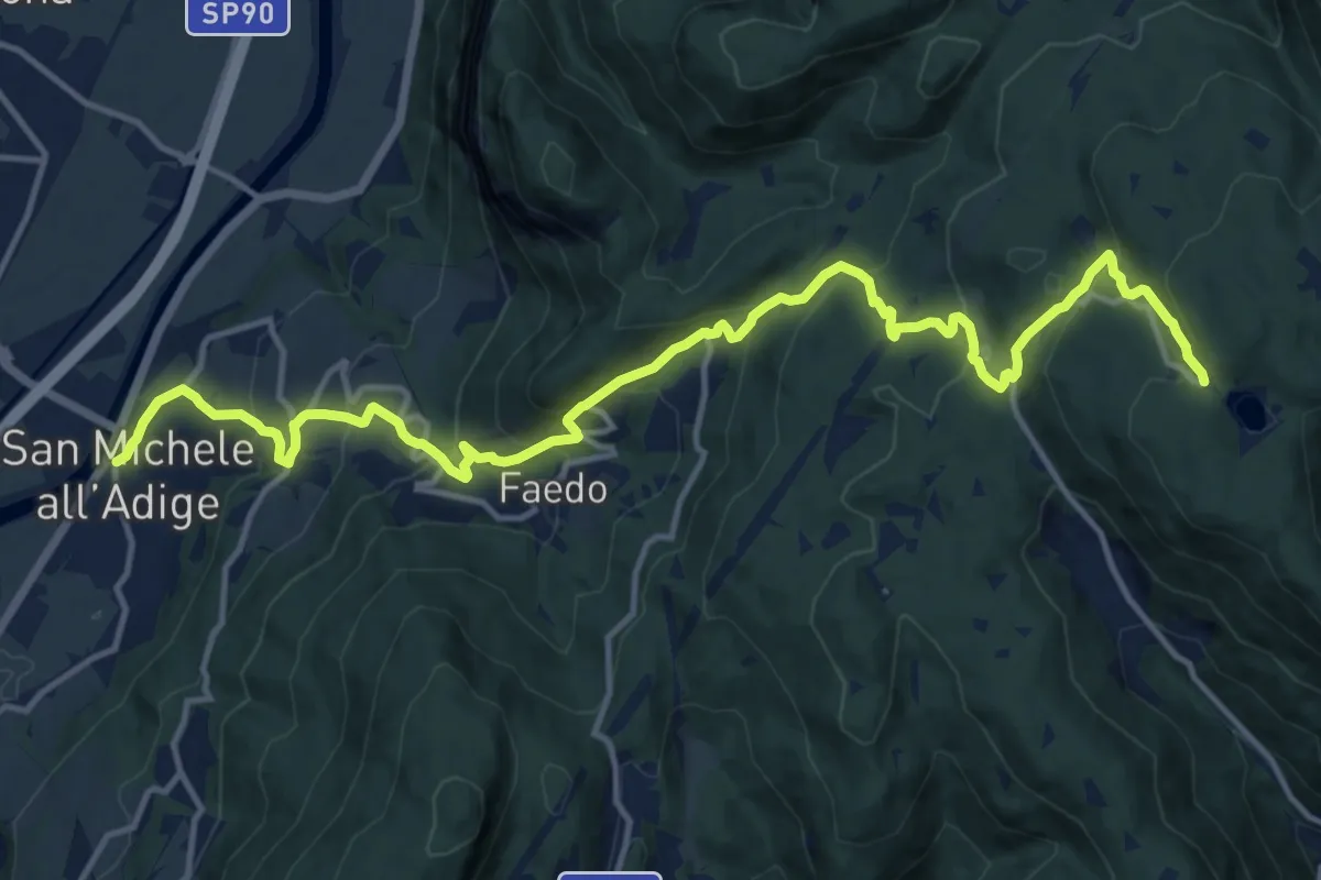
Demanding · Trail
San Michele all'Adige – Lago Santo (bivio Sentiero Italia - Sentiero Europeo 5 - 410 - 415 - 417)
17.3 km · ↑ 1021 m · 6 h 17 min · 14 km away
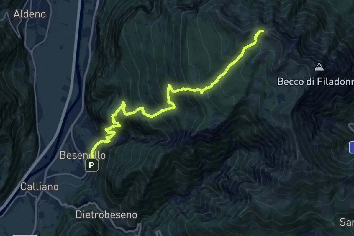
Demanding · Trail
Besenello - Masera – Quota 1977 Cresta Campigolet (bivio E450)
9.3 km · ↑ 1754 m · 5 h 15 min · 14 km away
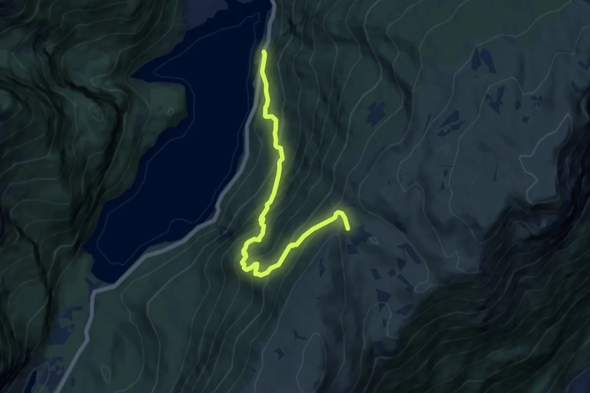
Demanding · Trail
Senter de la Mars
9.8 km · ↑ 898 m · 4 h 16 min · 14 km away
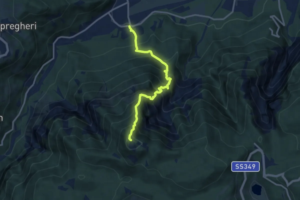
Demanding · Summit
Sentiero dei Piani
6.8 km · ↑ 1032 m · 3 h 51 min · 14 km away