Trails near Trento
166 hikes starting within 15 km, nearest first.
Nearest first, page 4 of 4
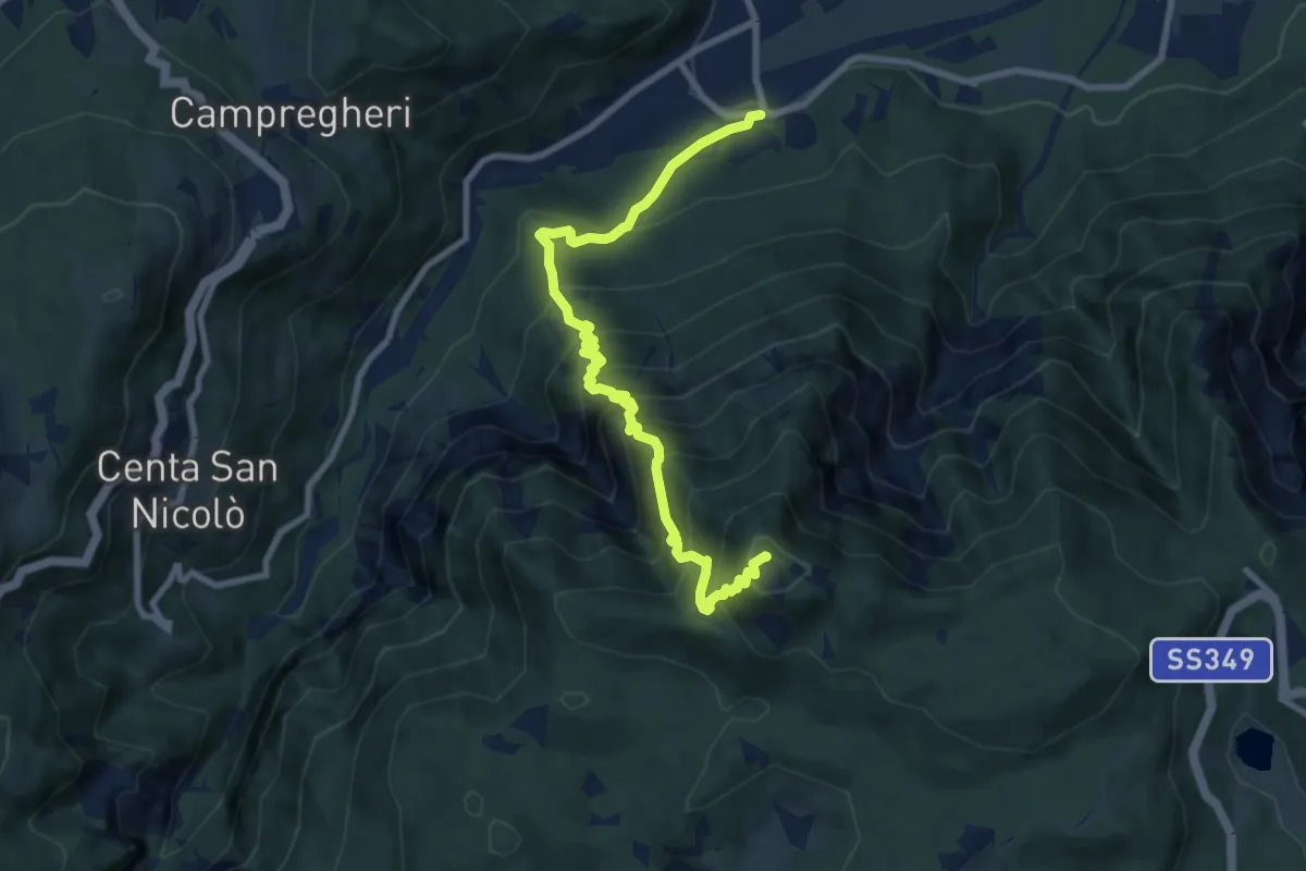
Demanding · Summit
Sentiero Attrezzato del Tamazol
9.1 km · ↑ 1023 m · 4 h 22 min · 14 km away
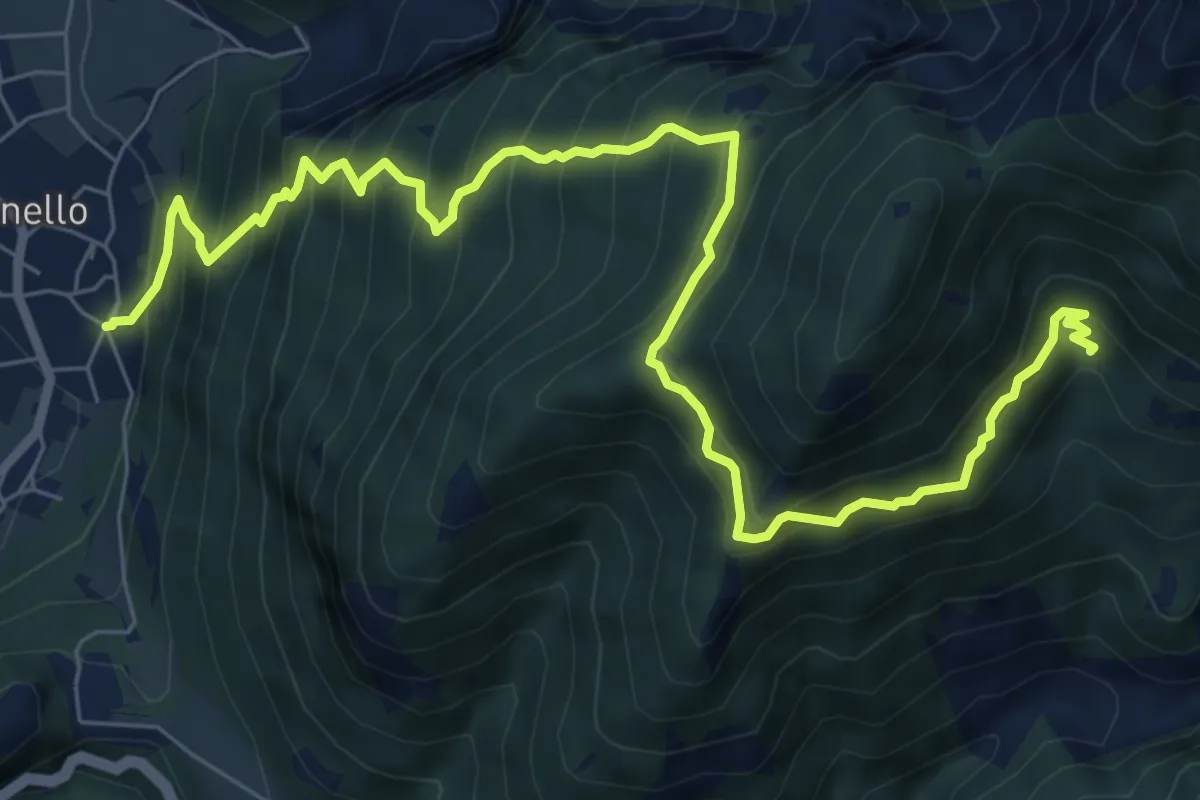
Demanding · Trail
Senter de la Croseta
9.6 km · ↑ 1118 m · 4 h 42 min · 14 km away
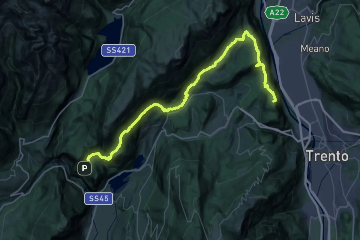
Demanding · Summit
Vela - capolinea bus – Ranzo - croce pressi chiesetta di SV
43.7 km · ↑ 2871 m · 16 h 32 min · 14 km away
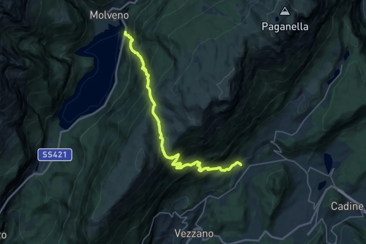
Demanding · Trail
Presso Park Hotel al Lago – Covelo
9.1 km · ↑ 867 m · 4 h 17 min · 14 km away
Demanding · Cabin
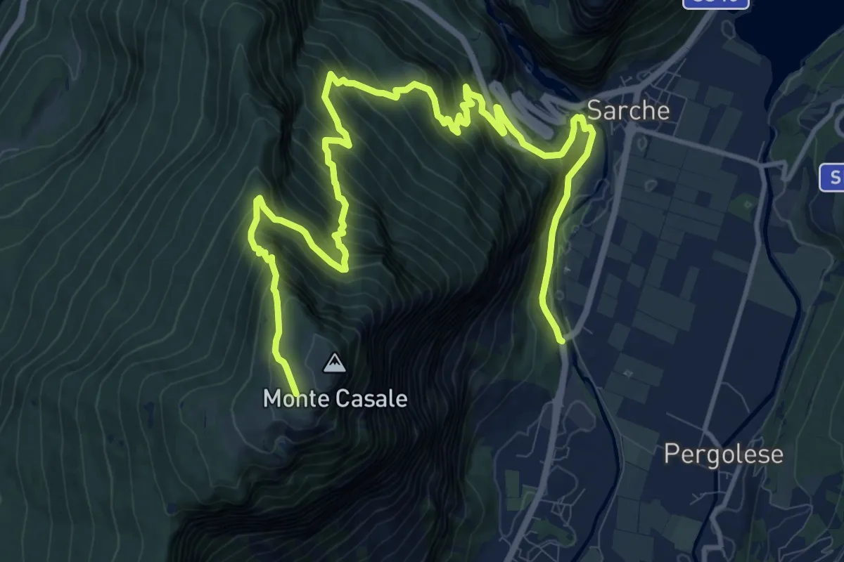
Ponte del gobbo - Strada Statale 45 bis – Capanna "Don Zio Pisoni" (bivio 411)
16.7 km · ↑ 1532 m · 7 h 16 min · 14 km away
Medium · Trail
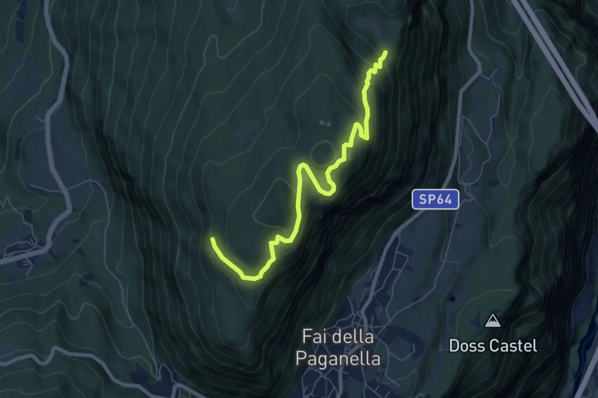
Bocca delle Scalacce (bivio 603) – Laston (bivio 603)
7.0 km · ↑ 424 m · 2 h 34 min · 14 km away
Demanding · Summit
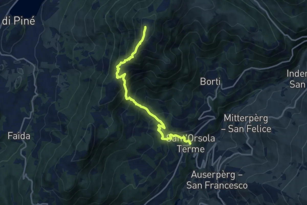
Sant'Orsola – Dosso di Costalta (bivio 404)
10.1 km · ↑ 1094 m · 4 h 45 min · 14 km away
Medium · Trail
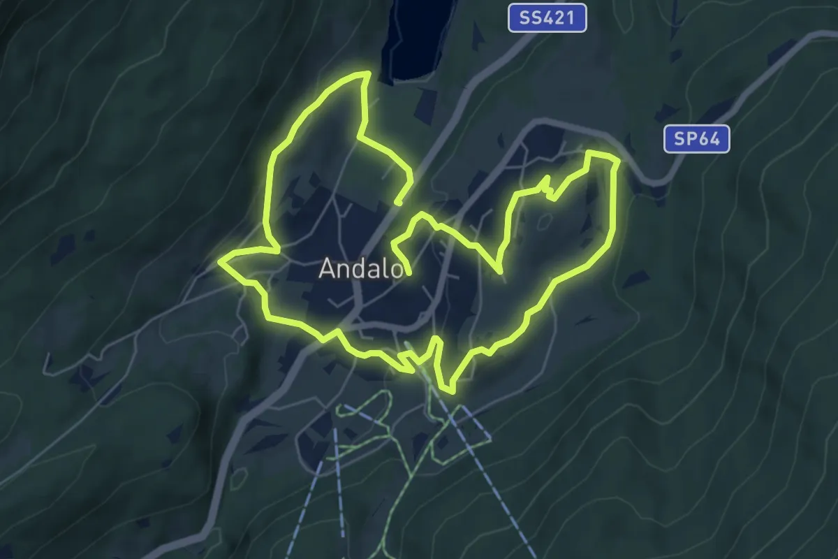
Giro dei Masi
12.2 km · ↑ 346 m · 3 h 37 min · 14 km away
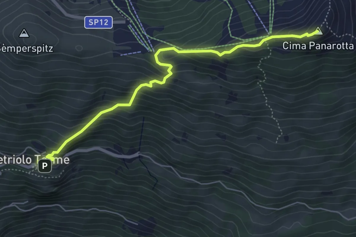
Medium · Summit
Vetriolo - Piazzale delle Terme – La Bassa
5.7 km · ↑ 497 m · 2 h 26 min · 14 km away
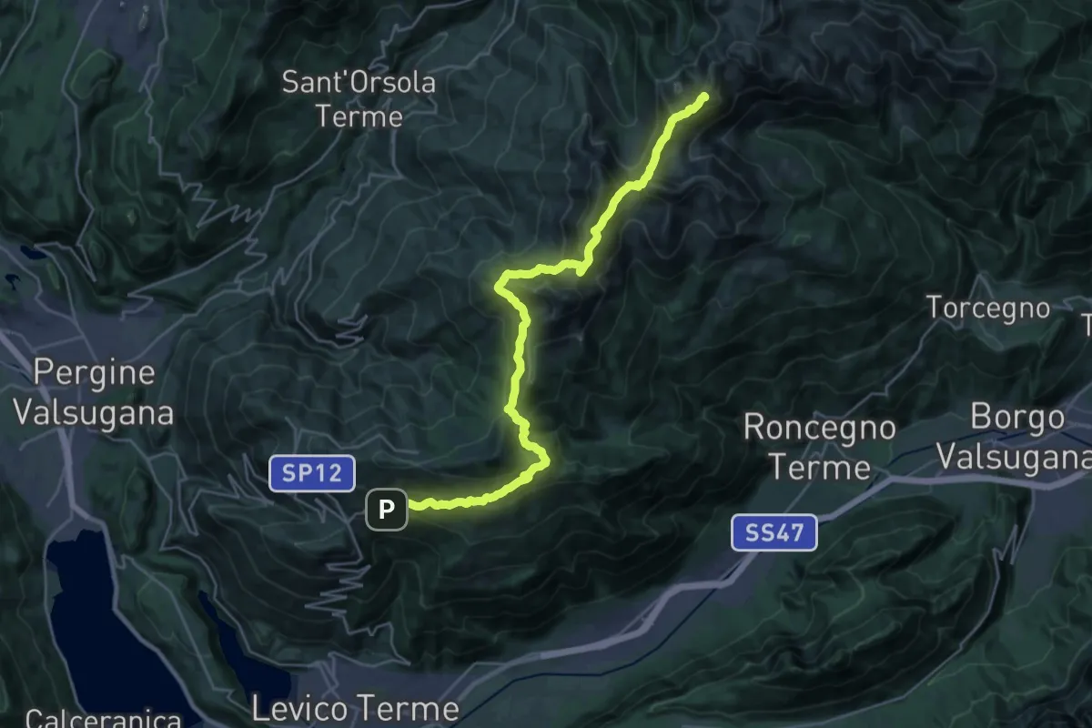
Demanding · Summit
TransLagorai - Tappa 1
27.3 km · ↑ 1669 m · 10 h 4 min · 14 km away
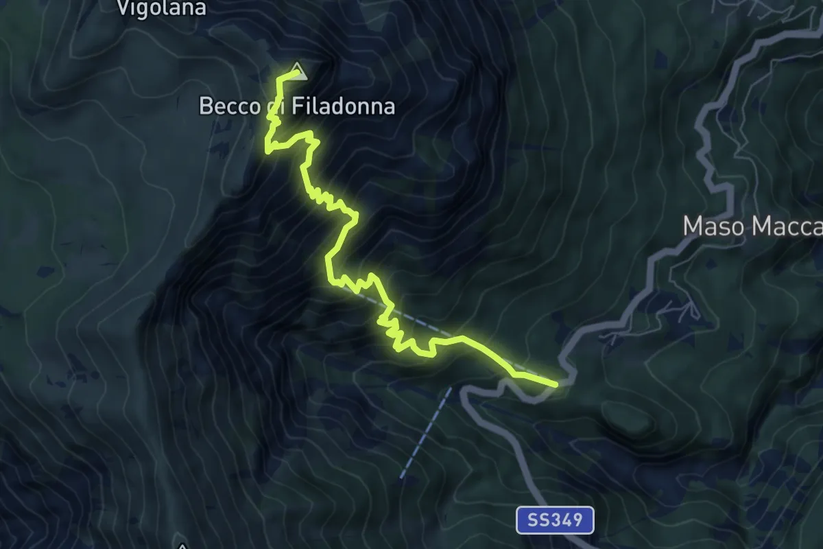
Demanding · Summit
Bar ristorante Al Sindech – Versante o Becco di Filadonna (bivio 425)
7.8 km · ↑ 1013 m · 4 h 2 min · 14 km away
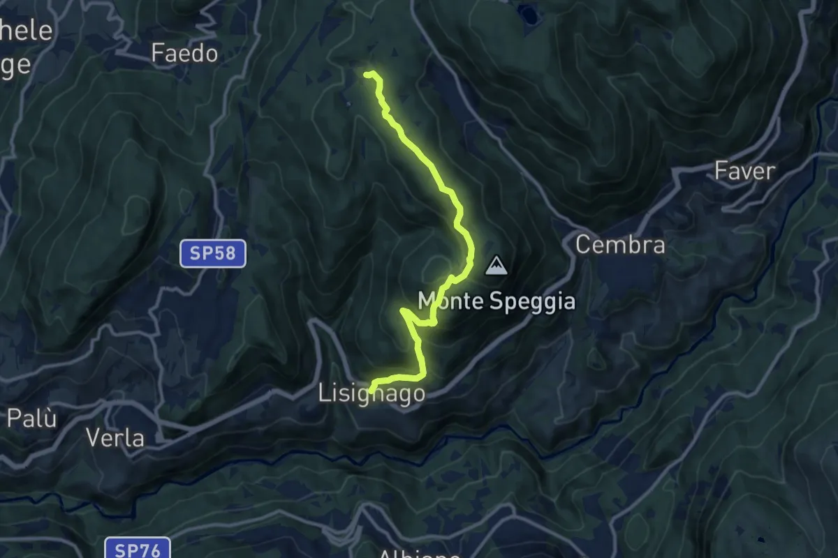
Medium · Trail
Lisignago – Capanna Maderlina (bivio 417)
10.1 km · ↑ 558 m · 3 h 36 min · 15 km away
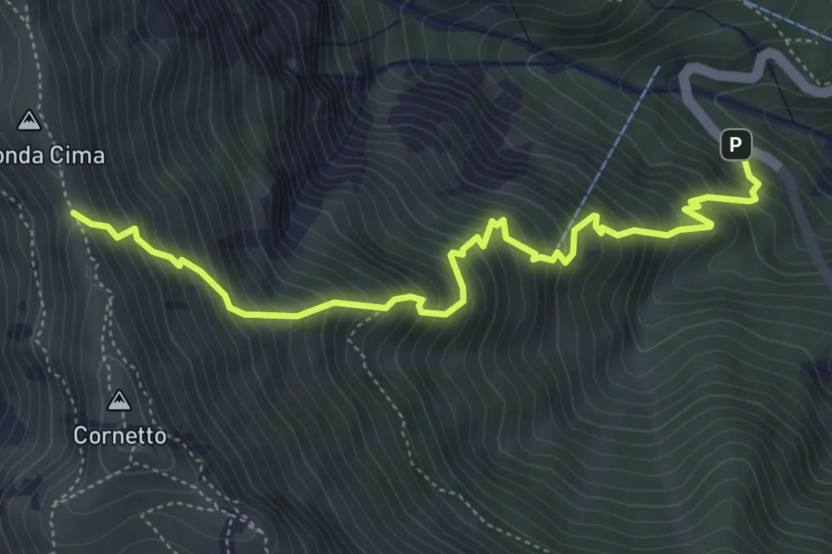
Demanding · Trail
Senter del Pralongo
5.3 km · ↑ 862 m · 3 h 8 min · 15 km away
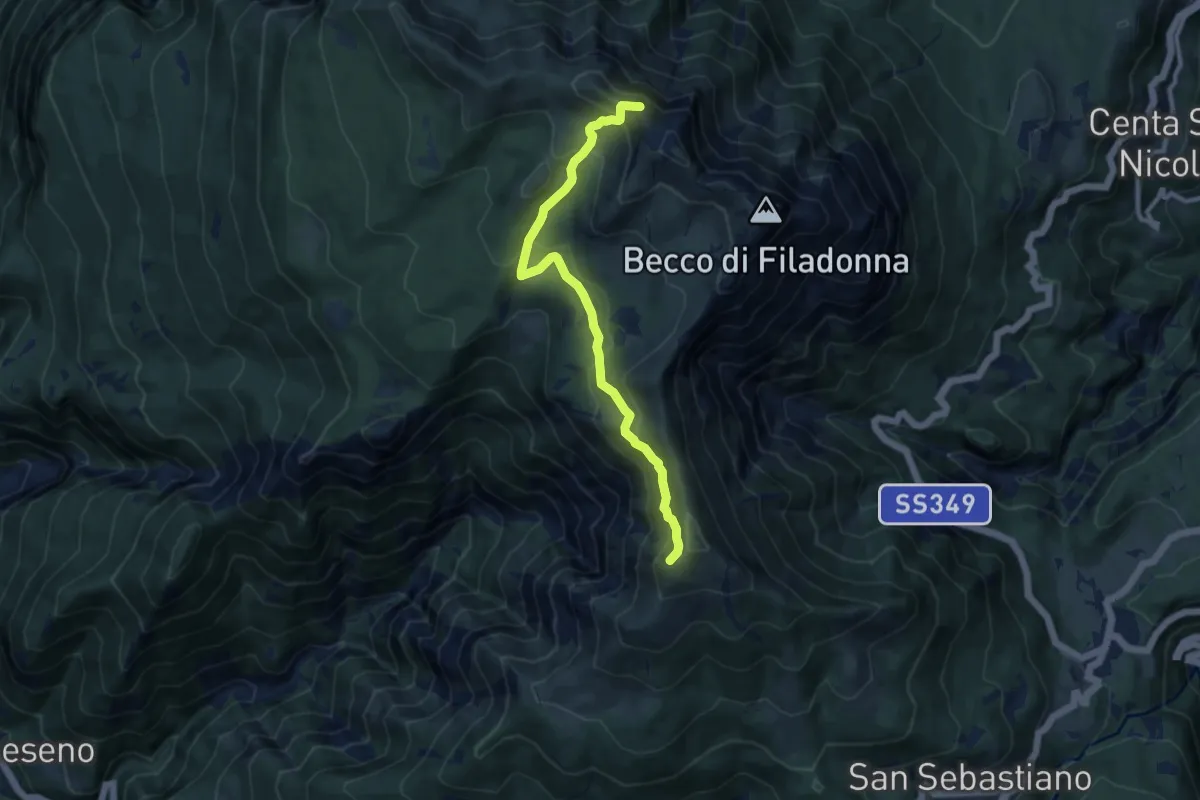
Medium · Summit
Senter del Bus del Giaz
9.5 km · ↑ 600 m · 3 h 33 min · 15 km away
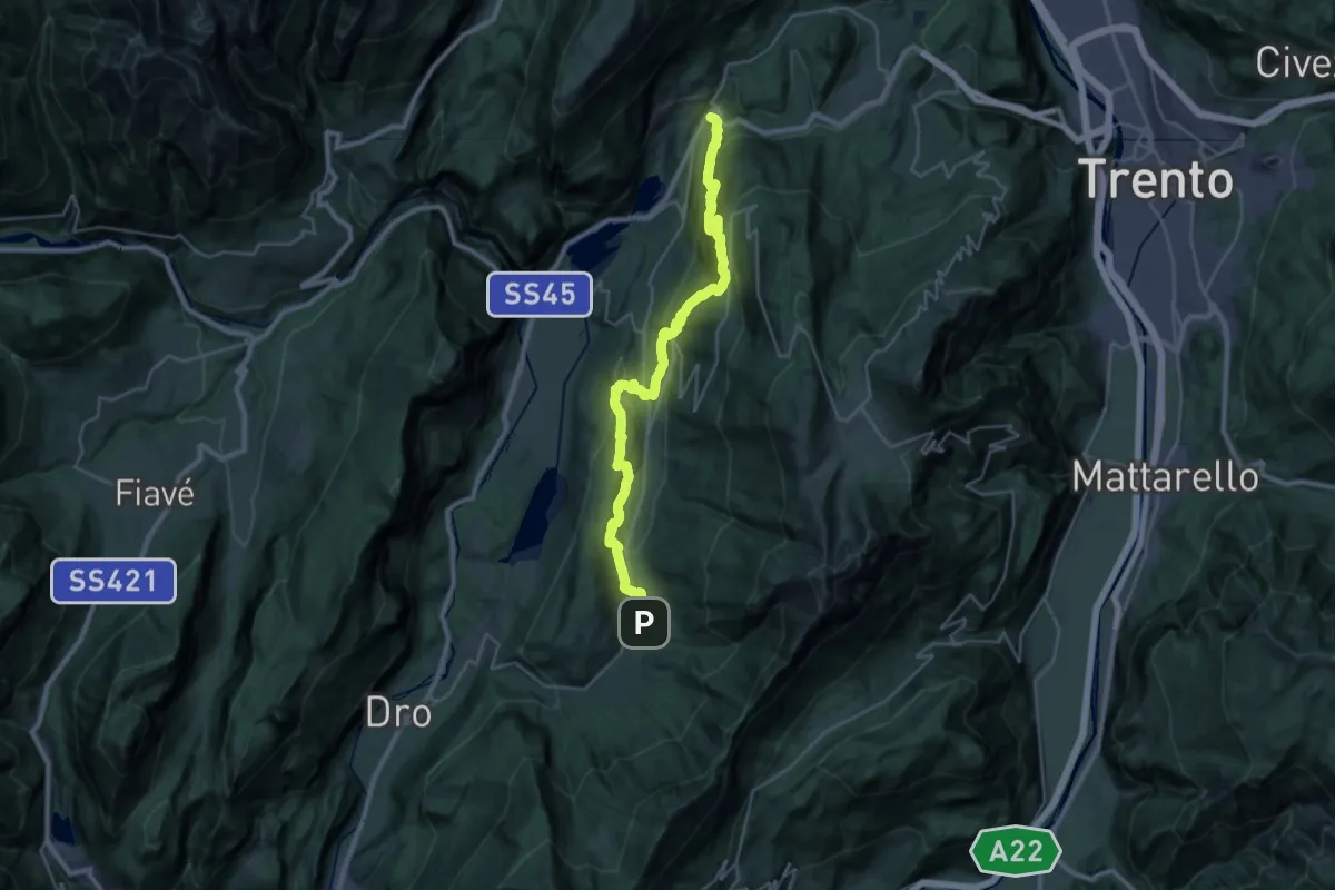
Medium · Trail
Cammino dei Sette Laghi - tappa 3
15.8 km · ↑ 711 m · 5 h 36 min · 15 km away
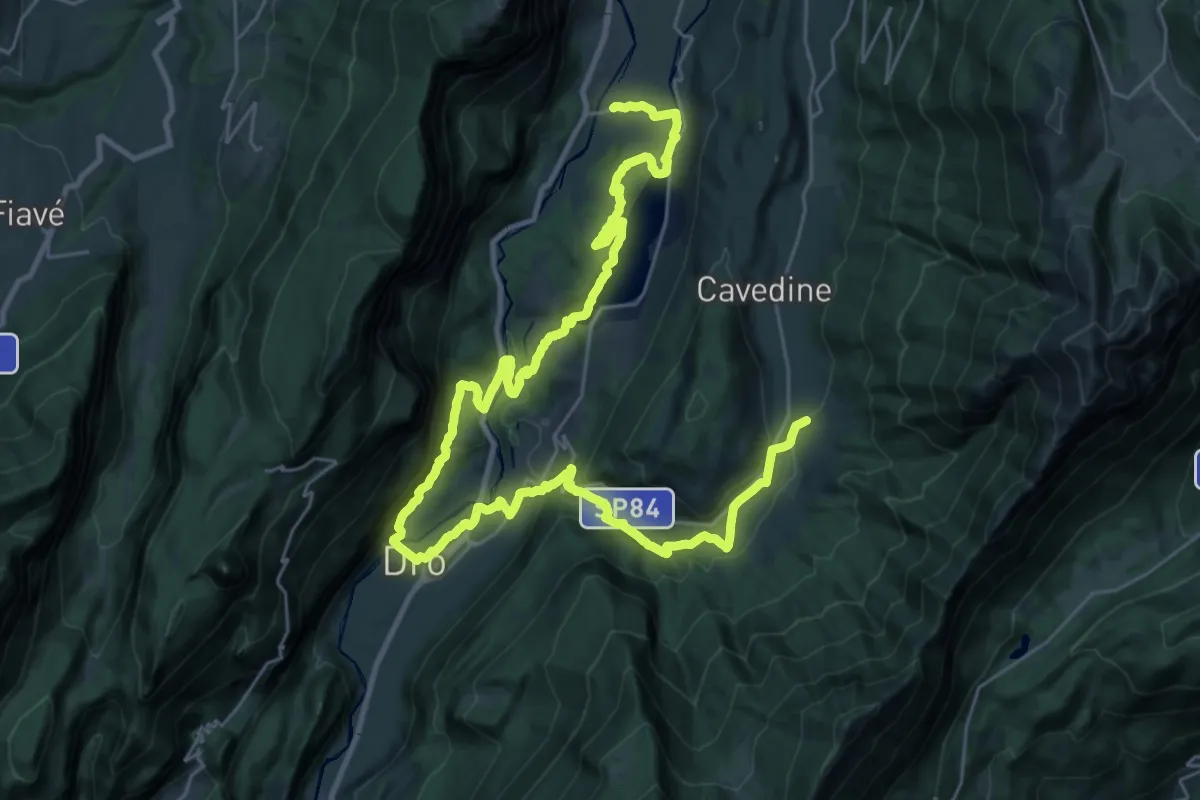
Demanding · Trail
Cammino dei Sette Laghi - tappa 4
21.3 km · ↑ 748 m · 6 h 46 min · 15 km away
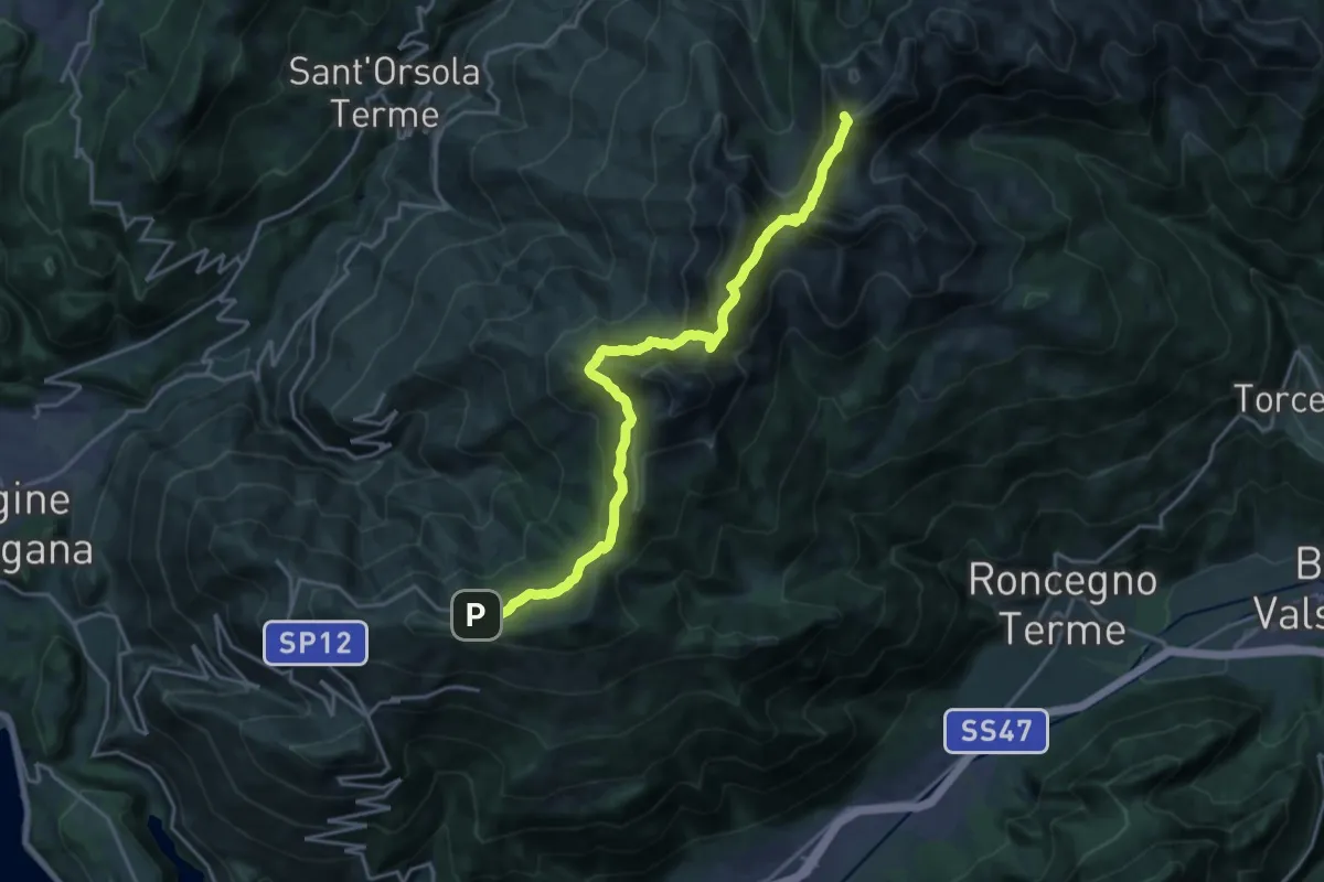
Demanding · Summit
Presso Battisti - Palù del Fèrsina (bivio 370) – Ristorante Panarotta (bivio 313)
20.1 km · ↑ 1194 m · 7 h 19 min · 15 km away
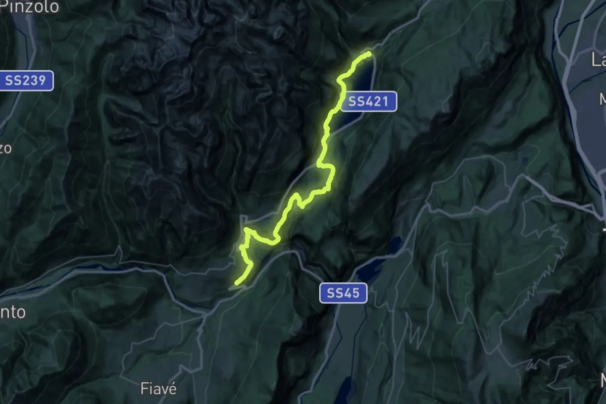
Demanding · Trail
Sentiero Frassati - Tappa 3
18.3 km · ↑ 658 m · 6 h 10 min · 15 km away
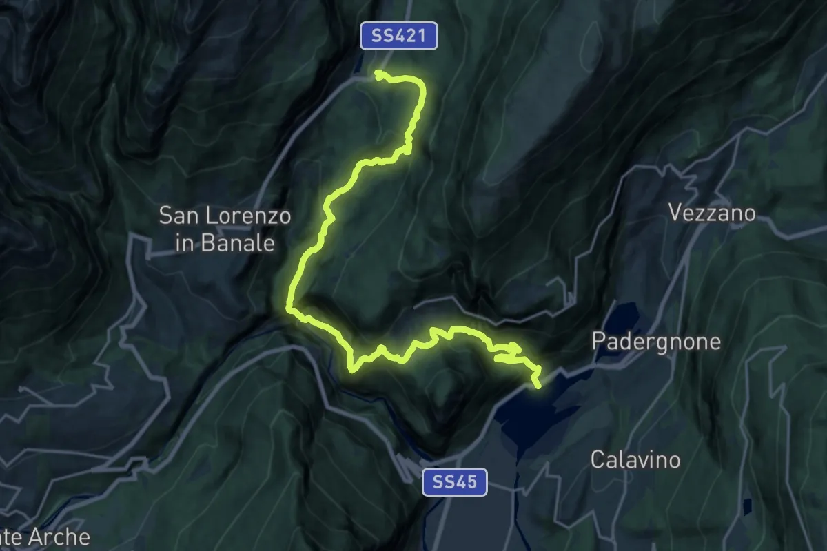
Demanding · Trail
Castel Toblino – Nembia
11.4 km · ↑ 596 m · 4 h 26 min · 15 km away
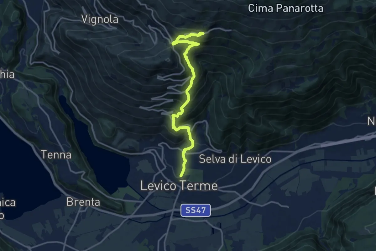
Demanding · Trail
Sentiero di Campo
11.8 km · ↑ 1005 m · 4 h 58 min · 15 km away
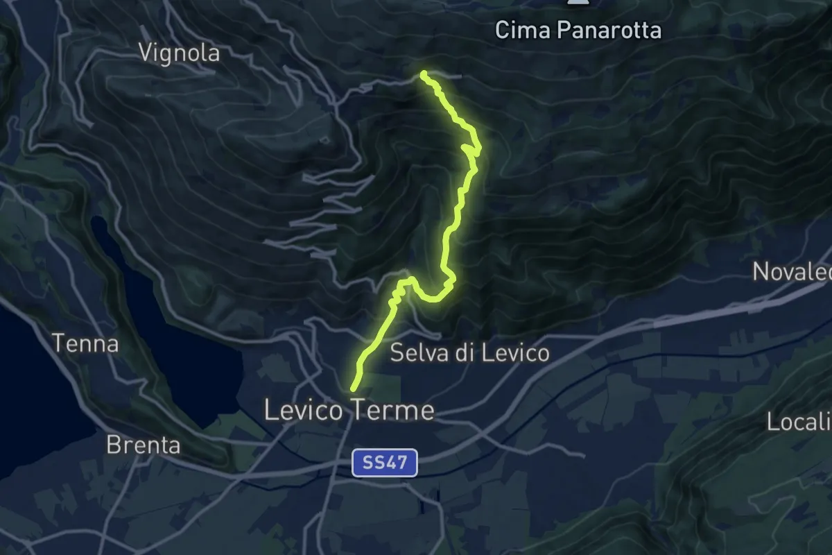
Demanding · Trail
Sentiero del Ronco
10.8 km · ↑ 1001 m · 4 h 43 min · 15 km away
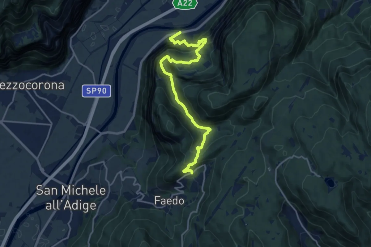
Demanding · Trail
Nassi di Cadino - Strada Statale 12 – Pineta di Faedo (bivio 414)
12.9 km · ↑ 1180 m · 5 h 37 min · 15 km away