Trails near Valmadrera
362 hikes starting within 15 km, nearest first.
Nearest first, page 1 of 8
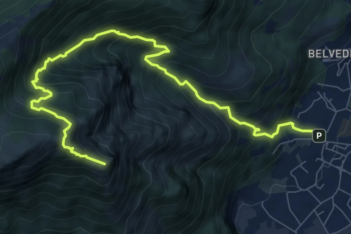
Expert · Summit
Caserta – Corno Birone
9.3 km · ↑ 1043 m · 4 h 28 min · 1 km away
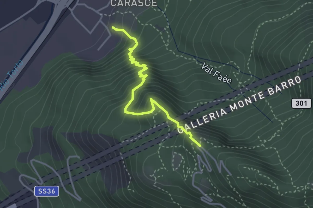
Medium · Trail
Valmadrera (fornaci Villa) – Culcinera
3.1 km · ↑ 428 m · 1 h 40 min · 1 km away
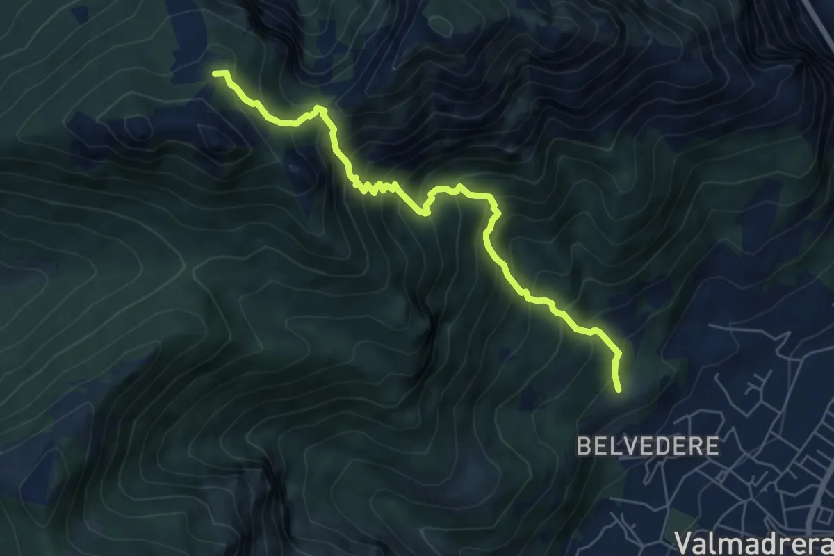
Demanding · Cabin
Cappelletta VARS – Rifugio S.E.V.
6.2 km · ↑ 837 m · 3 h 17 min · 1 km away
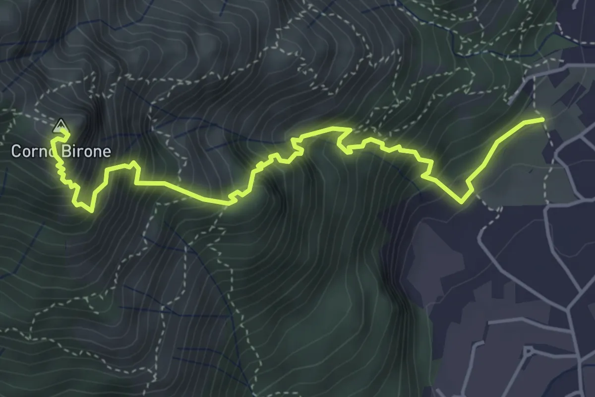
Demanding · Summit
Sentiero Lucio Vassena
5.0 km · ↑ 898 m · 3 h 7 min · 1 km away
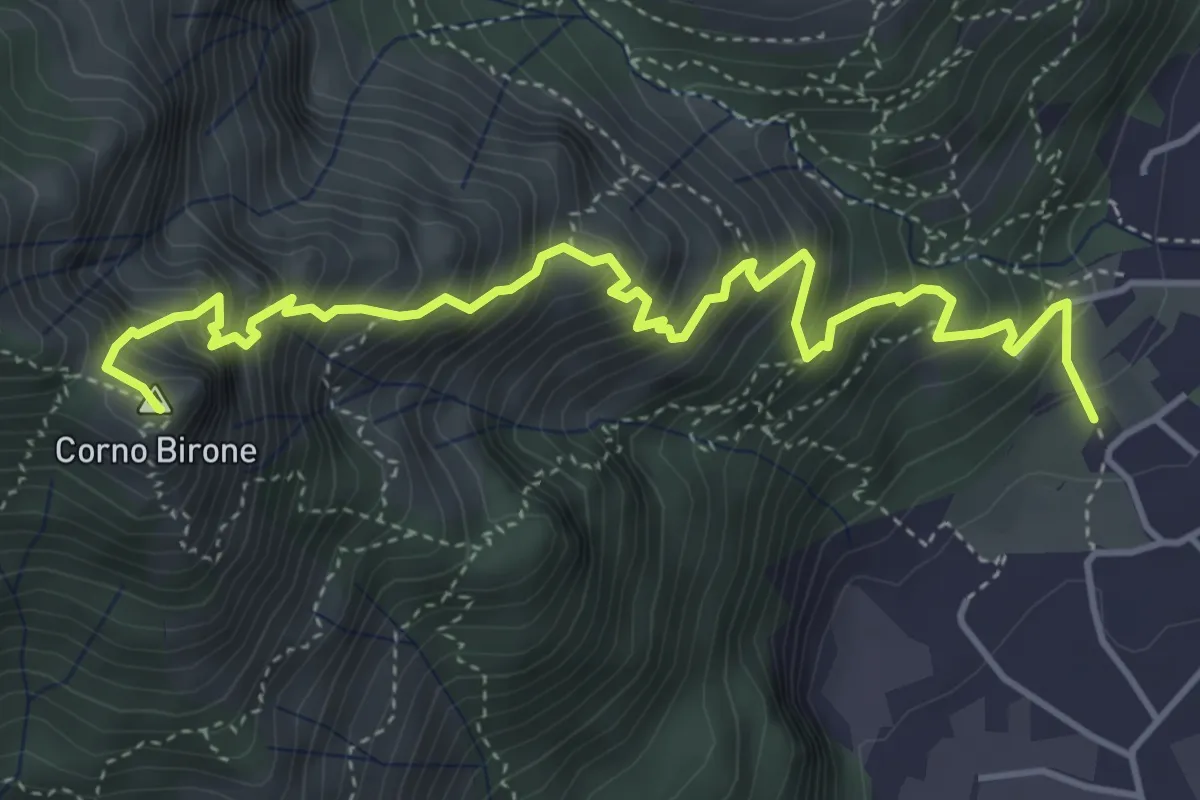
Expert · Summit
Sentiero Dario e William
5.4 km · ↑ 872 m · 3 h 10 min · 1 km away
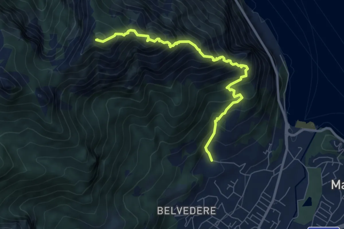
Expert · Summit
Piazza Rossé – Bocchetta di Moregge
7.2 km · ↑ 935 m · 3 h 43 min · 1 km away
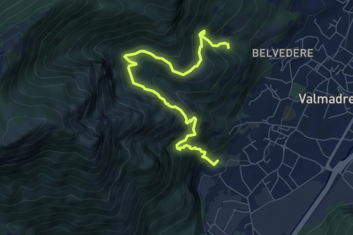
Demanding · Trail
Il percorso dei massi erratici
3.7 km · ↑ 263 m · 1 h 35 min · 1 km away
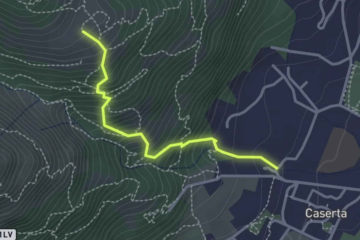
Demanding · Trail
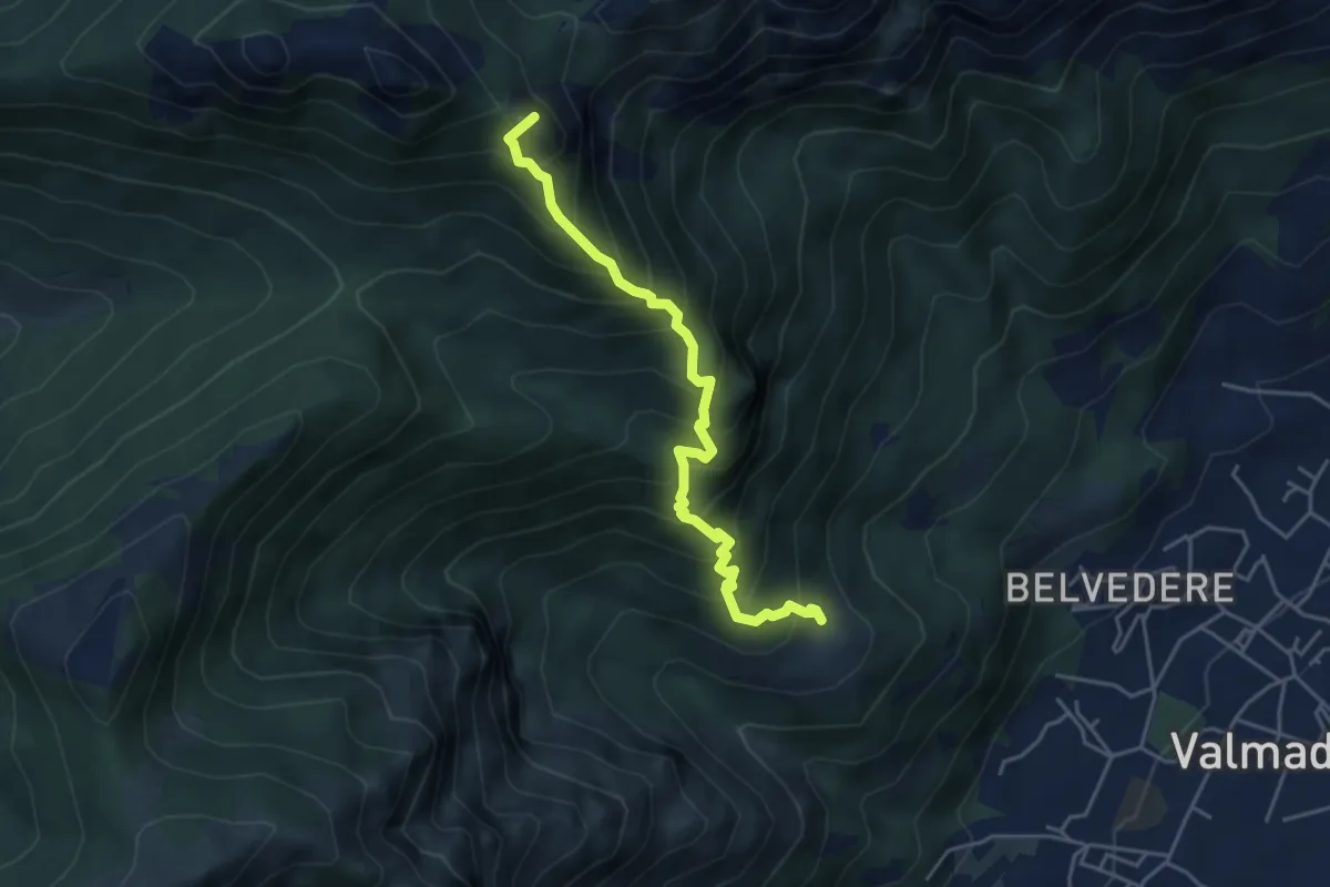
Caserta – San Tomaso
2.2 km · ↑ 312 m · 1 h 12 min · 1 km away
Expert · Summit
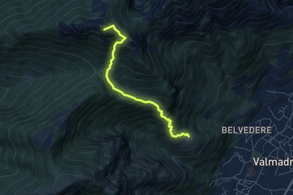
San Tomaso – Bocchetta di Luera
4.5 km · ↑ 629 m · 2 h 26 min · 1 km away
Medium · Summit
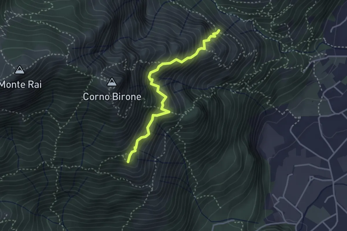
San Tomaso – Rifugio S.E.V.
5.6 km · ↑ 734 m · 2 h 55 min · 1 km away
Demanding · Summit
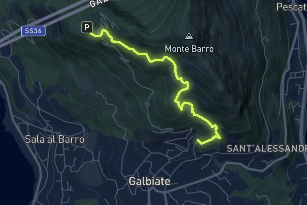
Sentiero del Luisin
3.1 km · ↑ 489 m · 1 h 48 min · 2 km away
Medium · Trail
Galbiate – Parco archeologico Monte Barro
5.6 km · ↑ 521 m · 2 h 27 min · 2 km away
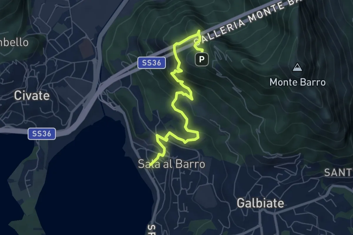
Medium · Trail
Sala al Barro (FS) – Parco archeologico Monte Barro
6.9 km · ↑ 476 m · 2 h 40 min · 2 km away
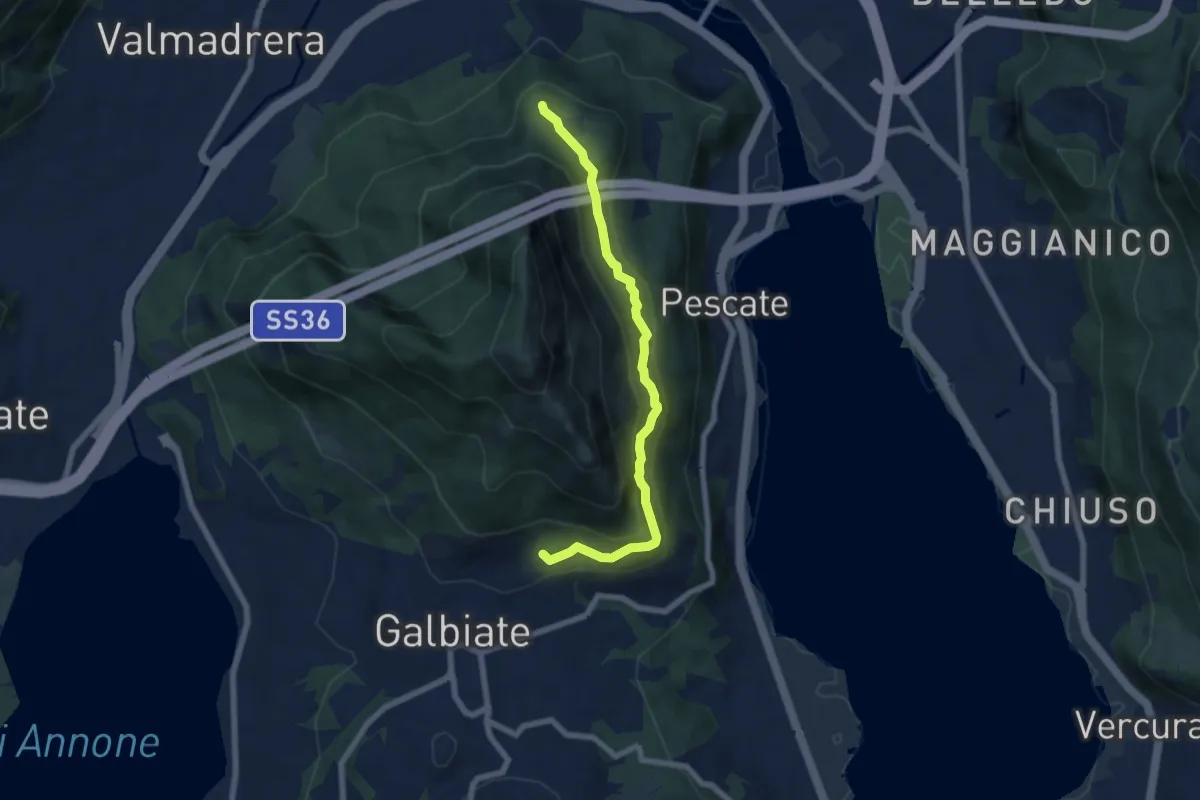
Medium · Trail
Sentiero di mezzo
6.7 km · ↑ 354 m · 2 h 21 min · 2 km away
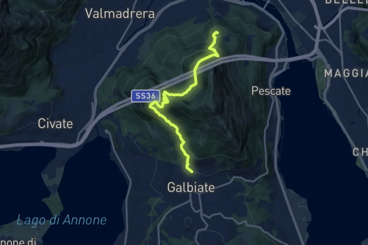
Medium · Trail
Sentiero di mezzo
9.3 km · ↑ 734 m · 3 h 47 min · 2 km away
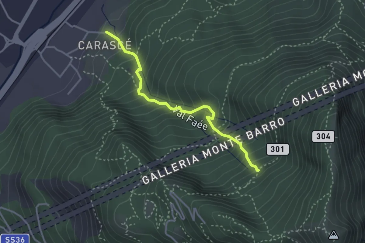
Medium · Trail
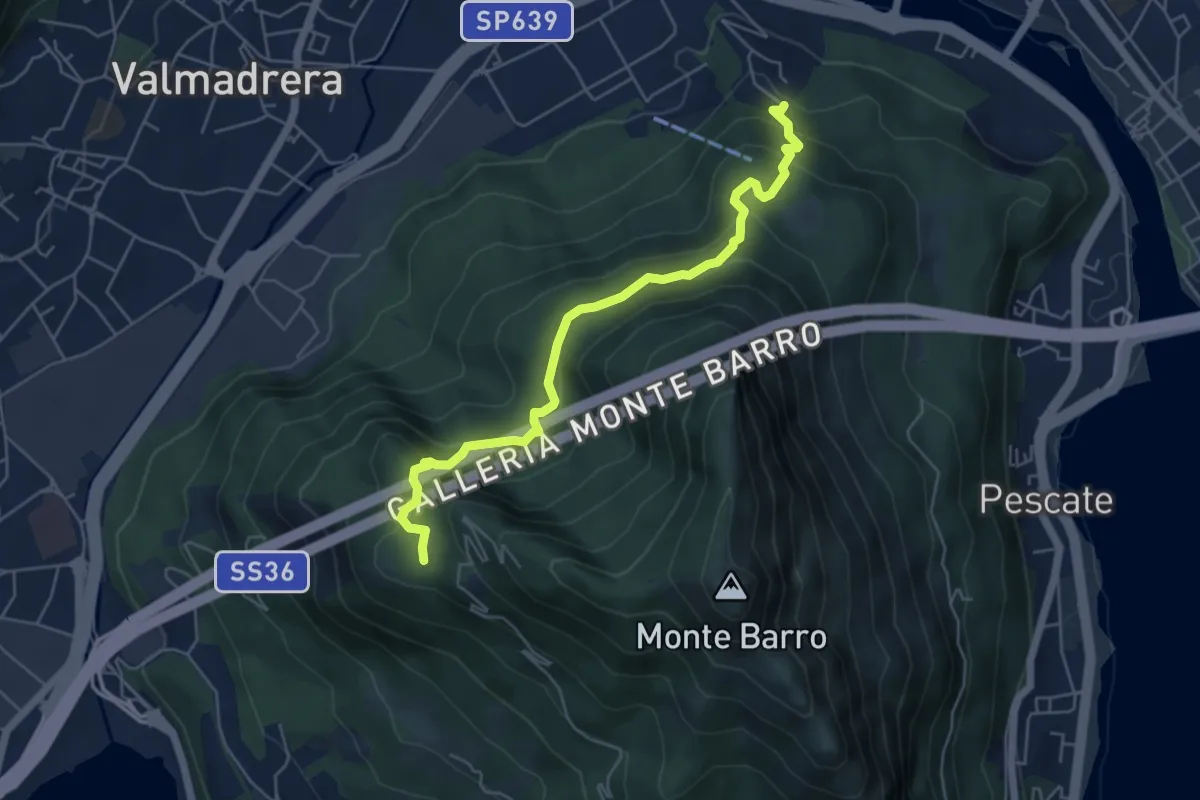
Carascé – Faée Alto
2.9 km · ↑ 388 m · 1 h 31 min · 2 km away
Demanding · Trail
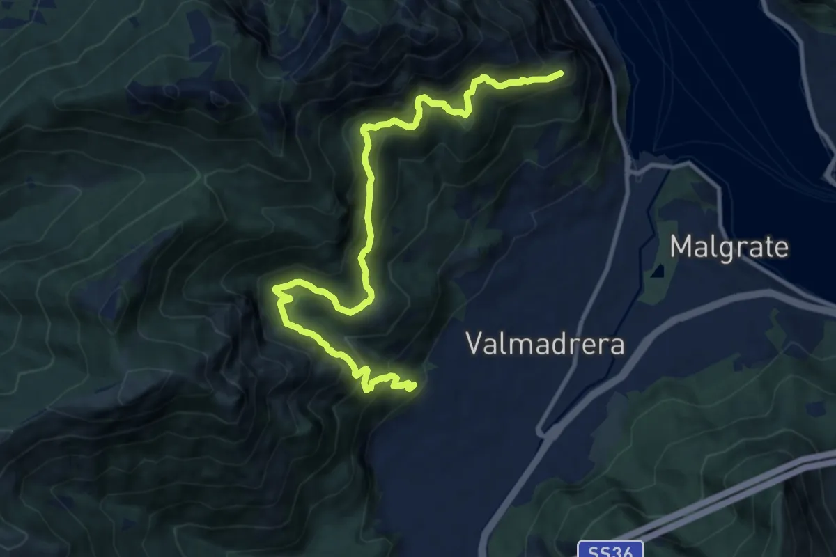
Malgrate – Parco archeologico Monte Barro
5.6 km · ↑ 409 m · 2 h 12 min · 2 km away
Demanding · Trail
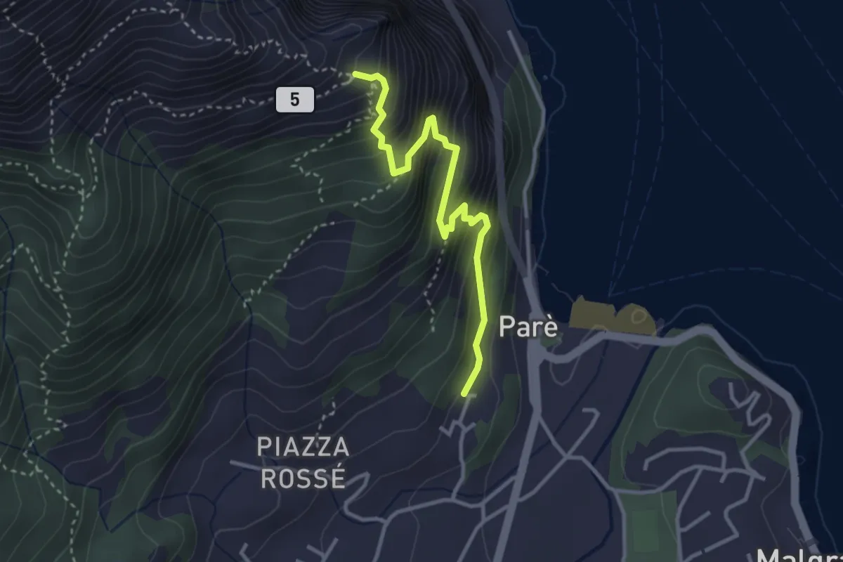
Santuario della Madonna di San Martino – Sasso di Preguda
11.9 km · ↑ 1039 m · 5 h 3 min · 2 km away
Demanding · Trail
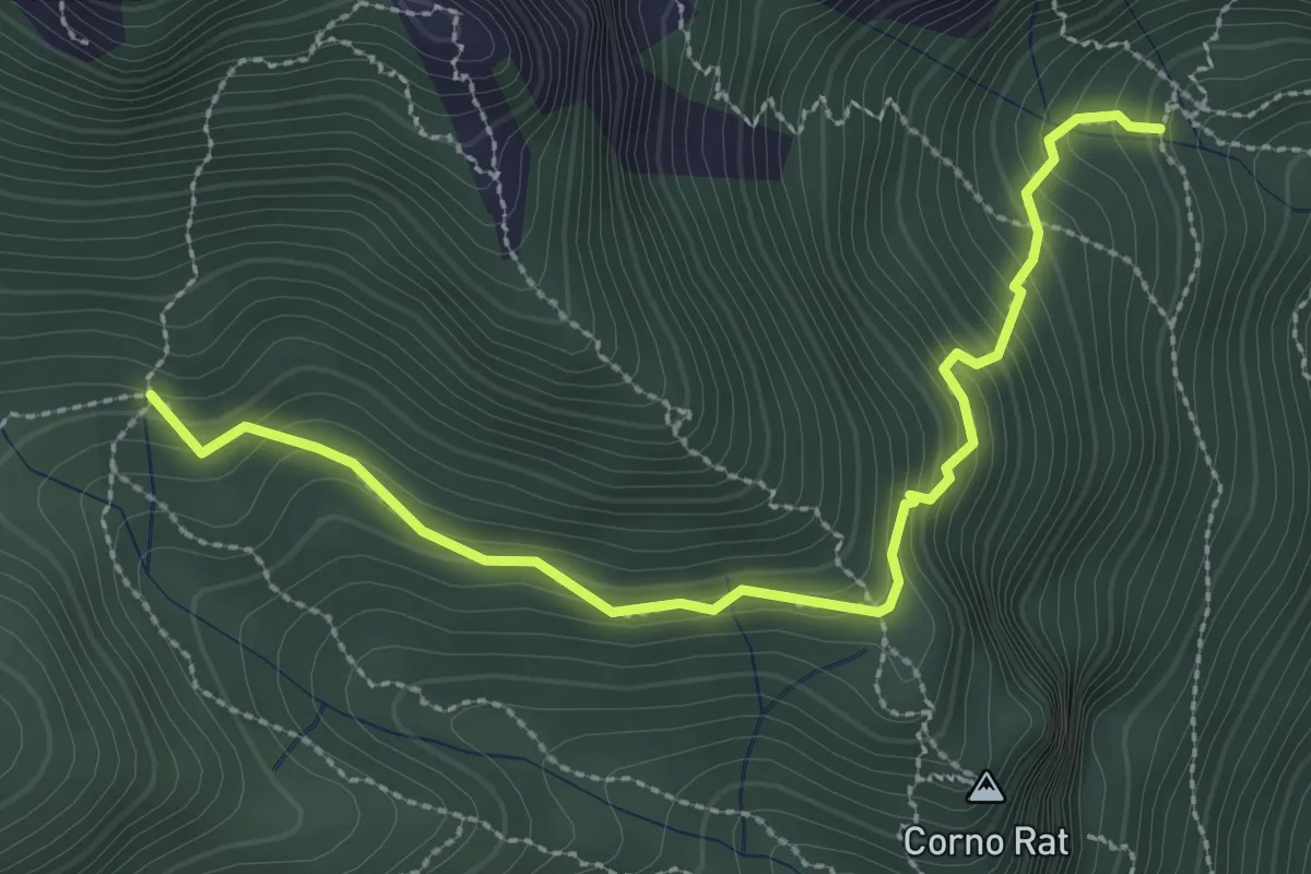
Ul Sentee del Lach
3.2 km · ↑ 418 m · 1 h 40 min · 2 km away
Medium · Trail
Fontanino di Sambrosera – Acqua del Fo'
3.1 km · ↑ 292 m · 1 h 22 min · 2 km away
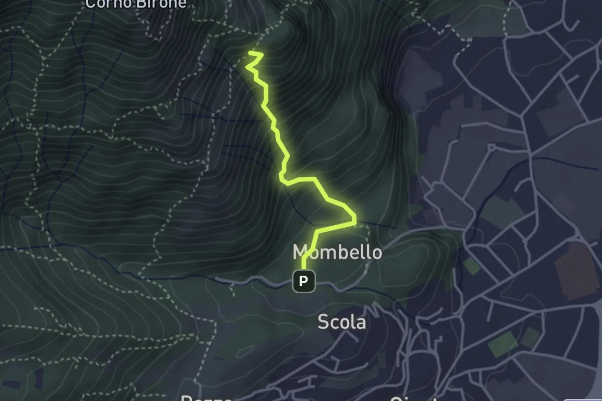
Medium · Trail
Mombello – Innesto 8 SEC
2.7 km · ↑ 375 m · 1 h 27 min · 2 km away
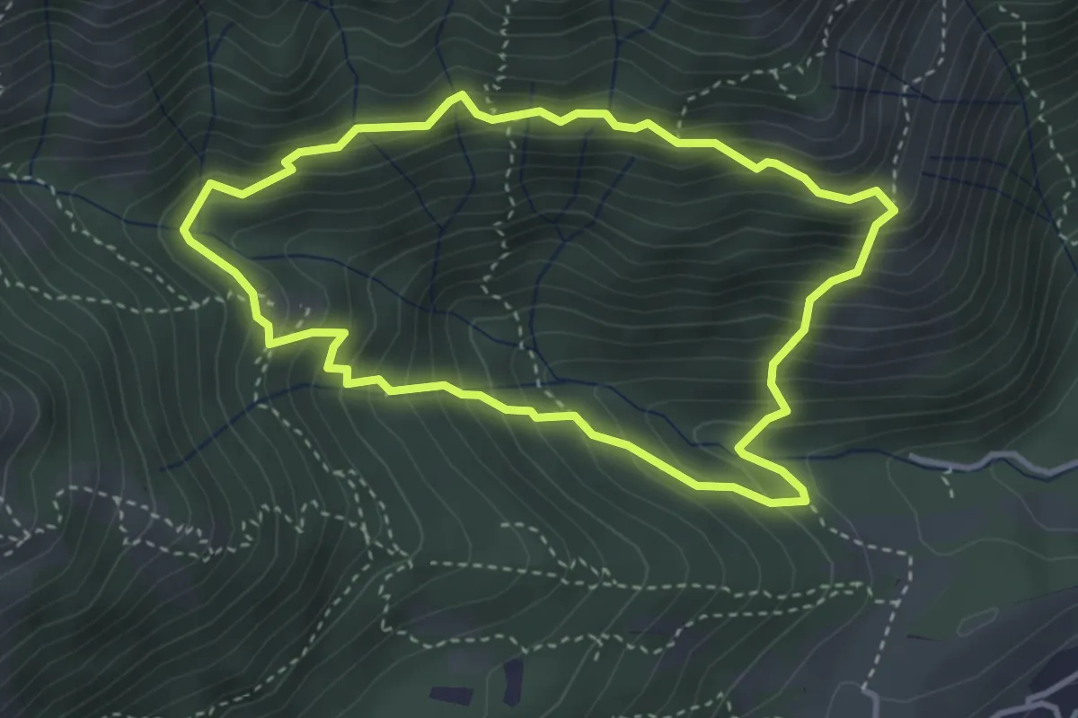
Medium · Summit
Anello dei Tre Casott
3.5 km · ↑ 387 m · 1 h 42 min · 2 km away
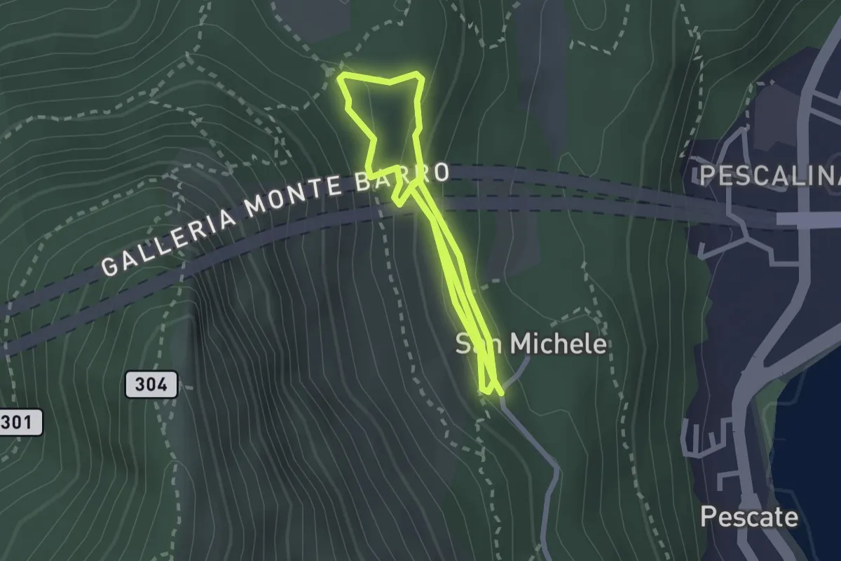
Medium · Trail
San Michele – San Michele
4.2 km · ↑ 208 m · 1 h 26 min · 2 km away
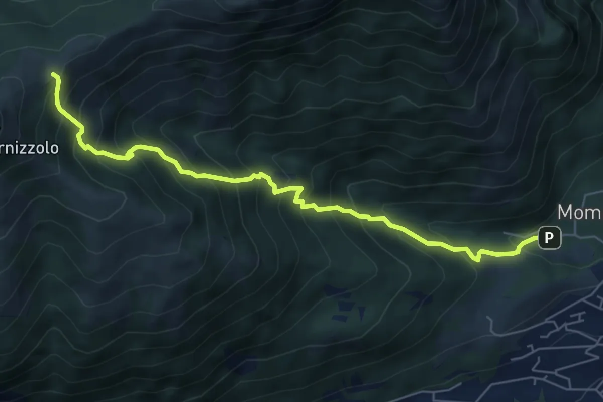
Medium · Cabin
Pozzo – Rifugio SEC Marisa Consigliere
6.2 km · ↑ 778 m · 3 h 9 min · 2 km away
Demanding · Summit
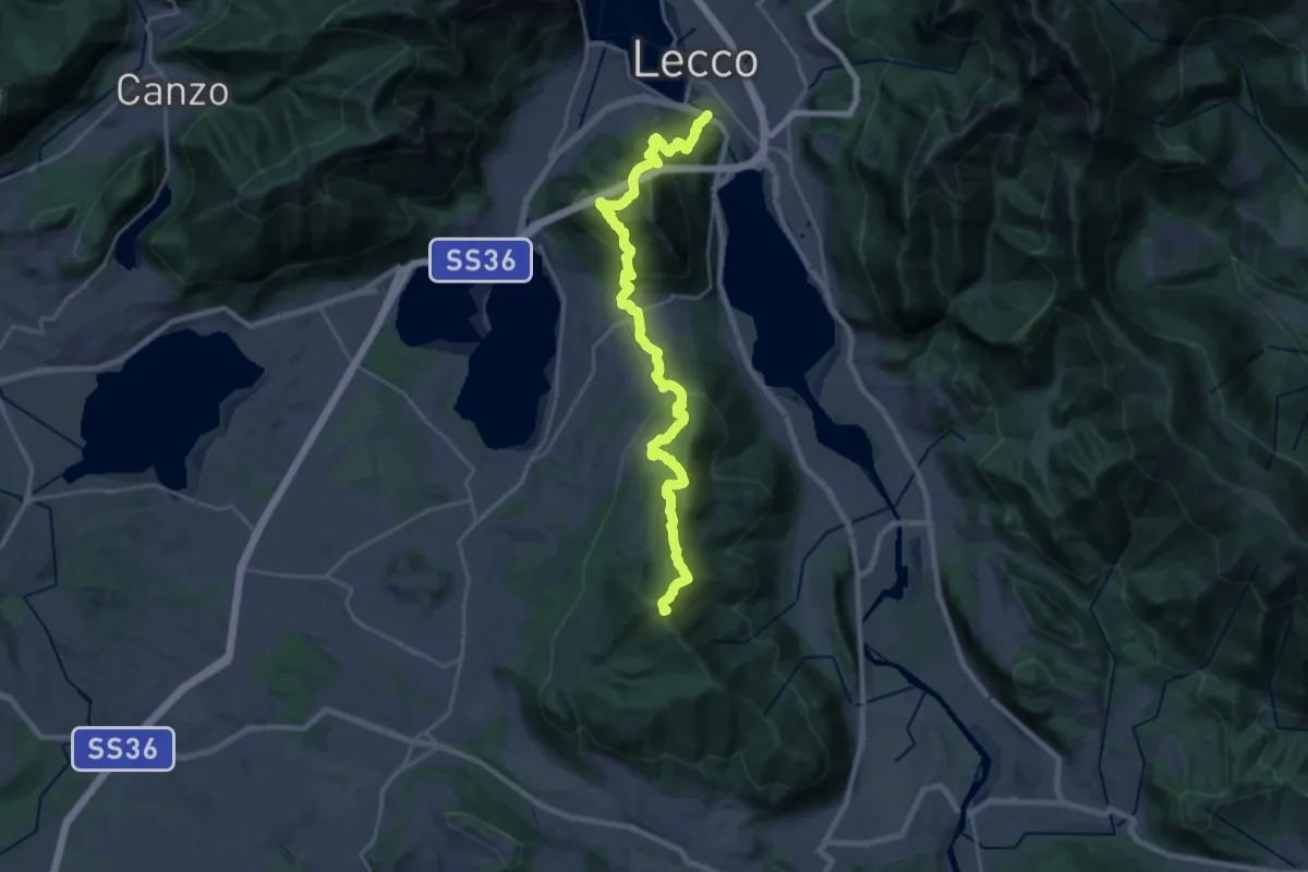
Sentierone
27.4 km · ↑ 1740 m · 10 h 14 min · 3 km away
Expert · Summit
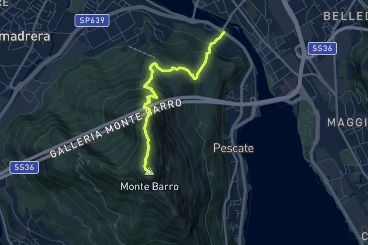
Lecco (Ponte Azzone Visconti) – Monte Barro
6.6 km · ↑ 705 m · 3 h 5 min · 3 km away
Medium · Cabin
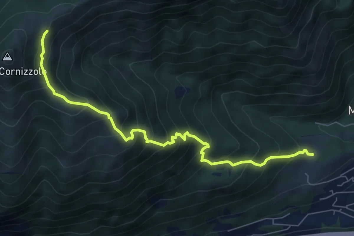
Pozzo – Rifugio SEC Marisa Consigliere
6.7 km · ↑ 747 m · 3 h 12 min · 3 km away
Medium · Trail
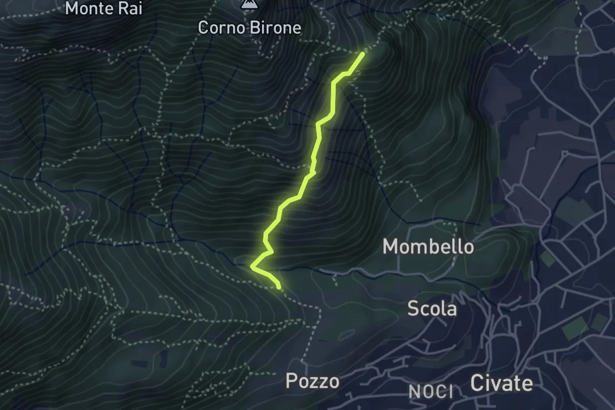
Cascina Oro – Ceppo della Forcola
2.6 km · ↑ 345 m · 1 h 22 min · 3 km away
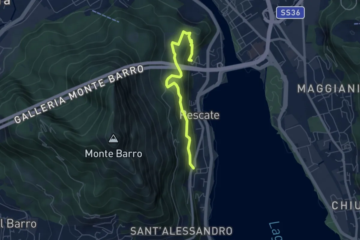
Medium · Trail
Pescalina – Pescate (cimitero)
5.5 km · ↑ 361 m · 2 h 4 min · 3 km away
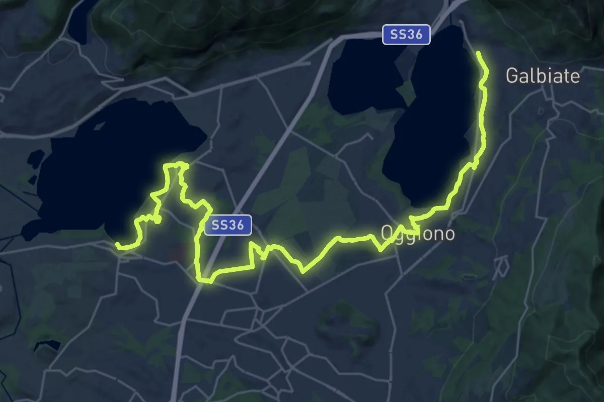
Medium · Trail
Sentiero Pedemonte - Tappa 3
16.6 km · ↑ 163 m · 4 h 30 min · 3 km away
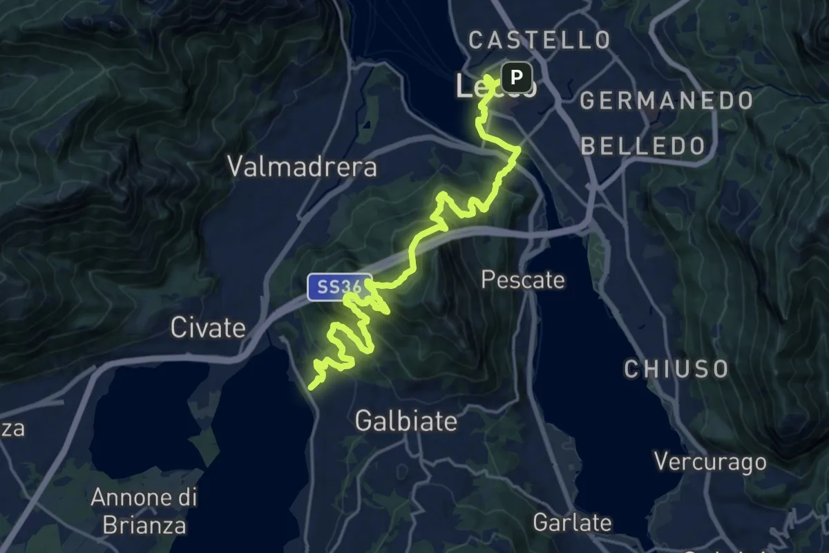
Demanding · Trail
Sentiero Pedemonte - Tappa 4
20.8 km · ↑ 1302 m · 7 h 43 min · 3 km away
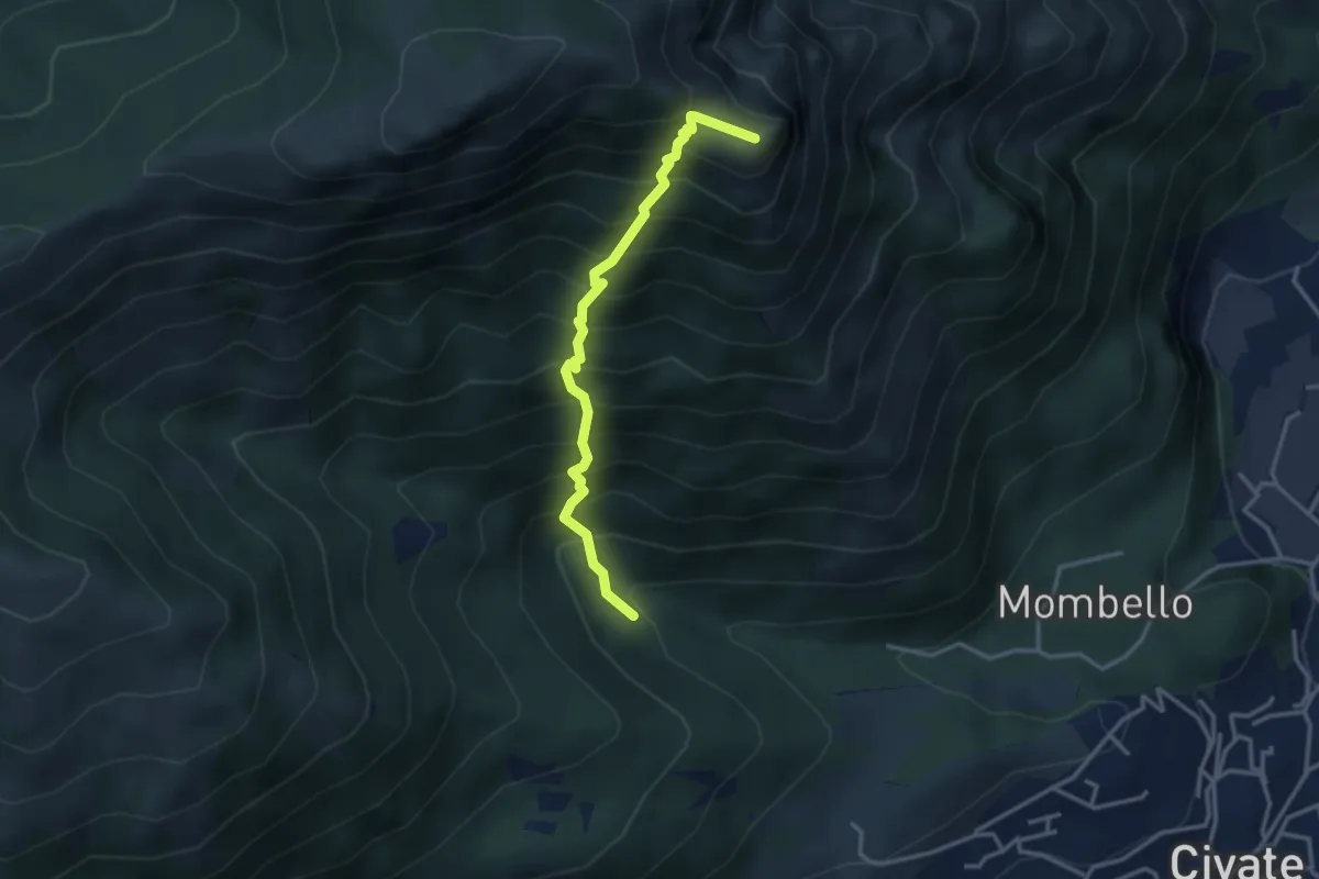
Medium · Summit
Innesto 10 SEC – Innesto 1 OSA
3.2 km · ↑ 652 m · 2 h 10 min · 3 km away
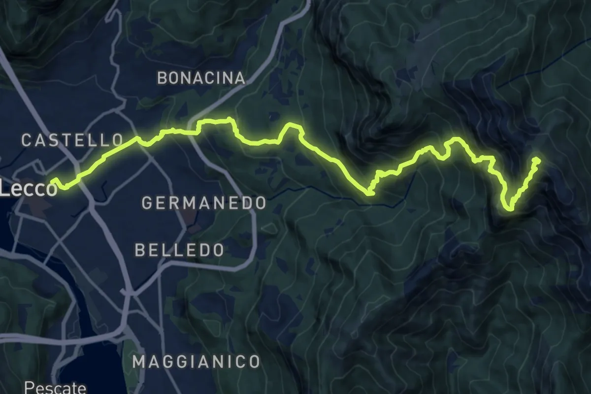
Demanding · Summit
Lecco (Stazione) – Monte Resegone
18.8 km · ↑ 1725 m · 8 h 10 min · 3 km away
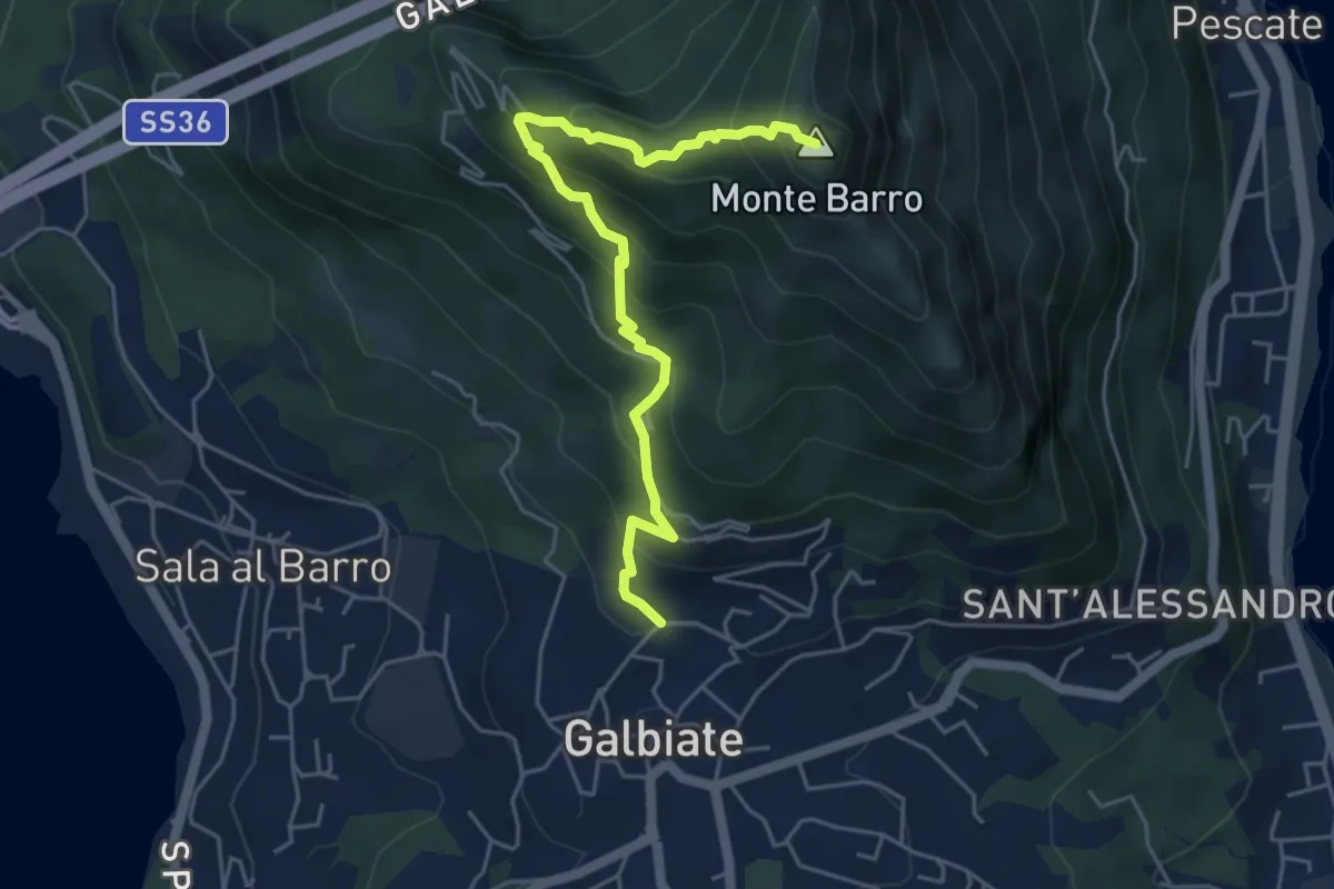
Demanding · Summit
Galbiate (lavatoio) – Monte Barro
5.3 km · ↑ 485 m · 2 h 18 min · 3 km away
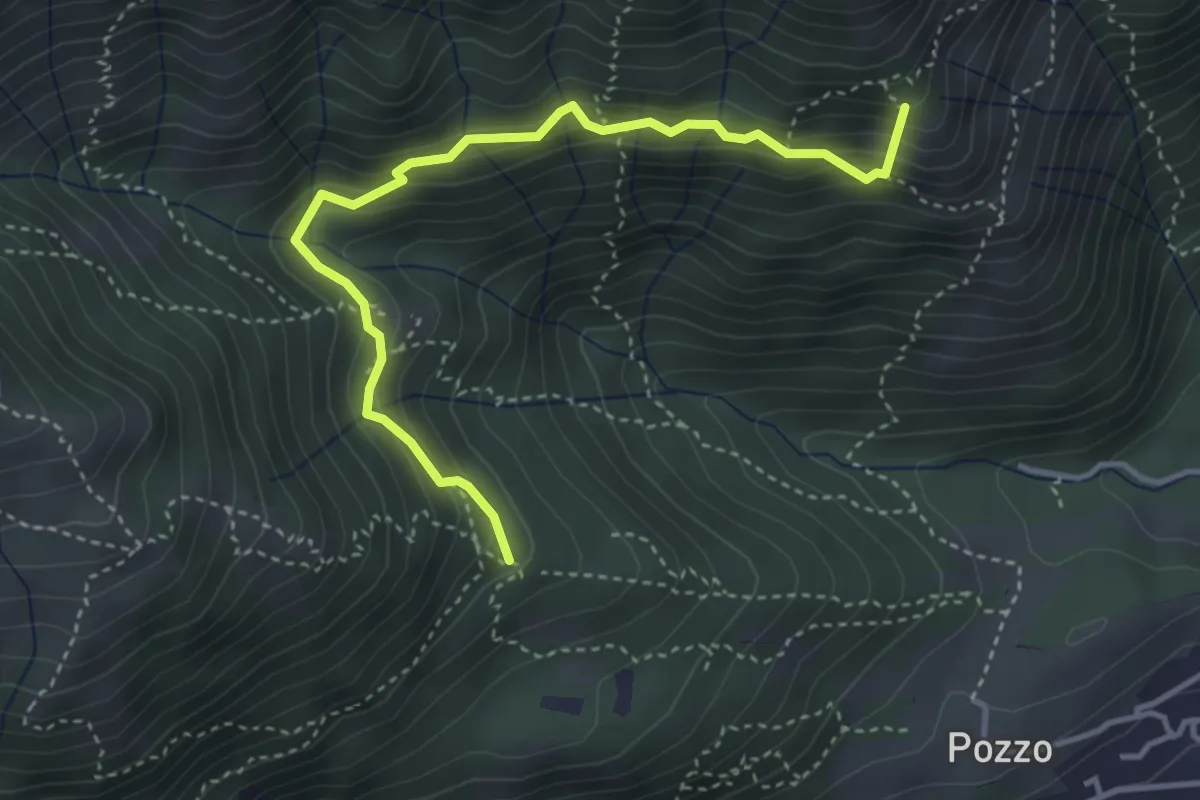
Medium · Summit
Tre Casott – Dosso della Guardia
4.1 km · ↑ 347 m · 1 h 43 min · 3 km away
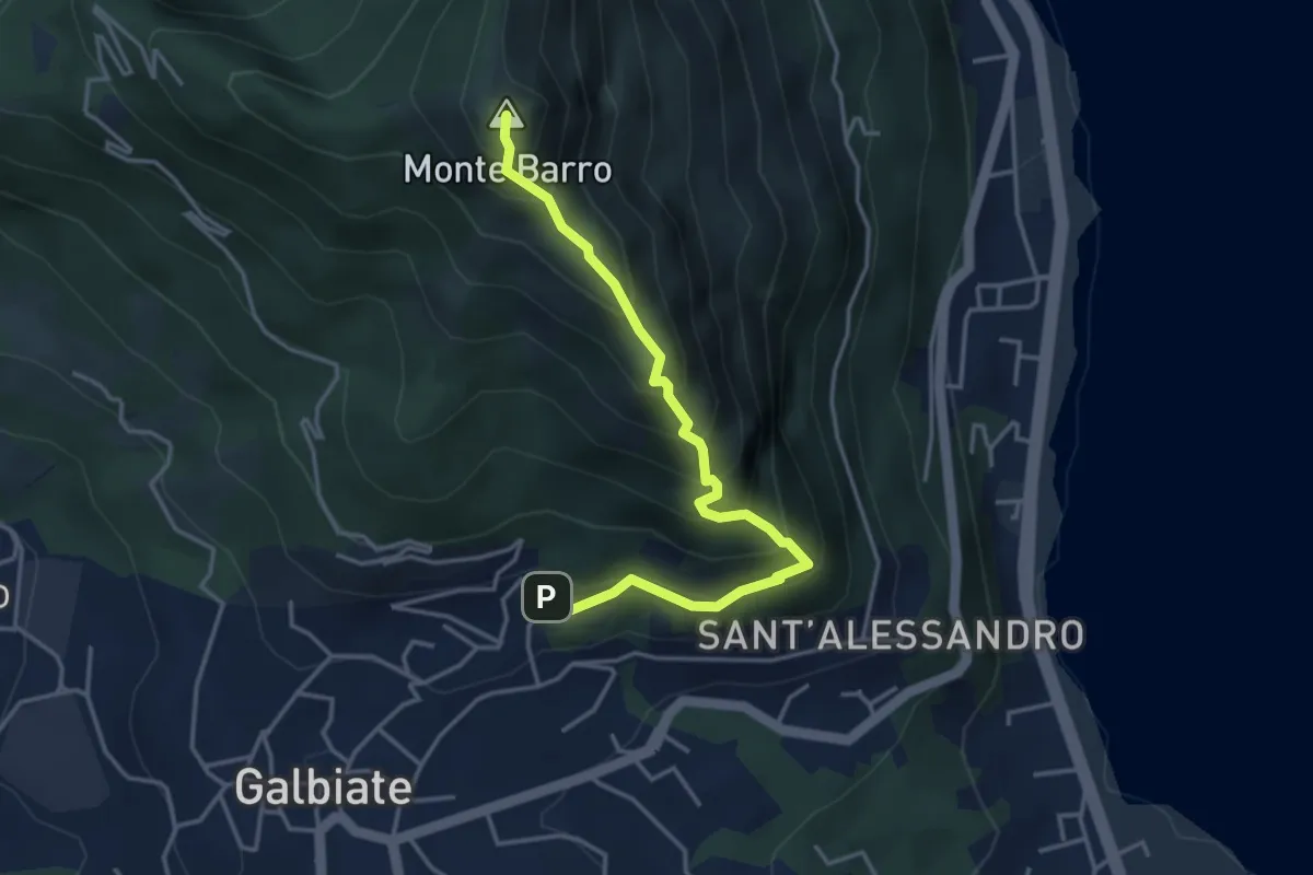
Expert · Summit
Galbiate – Monte Barro
4.1 km · ↑ 475 m · 2 h · 3 km away
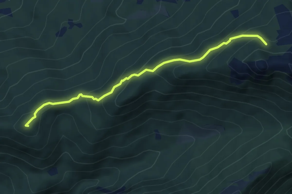
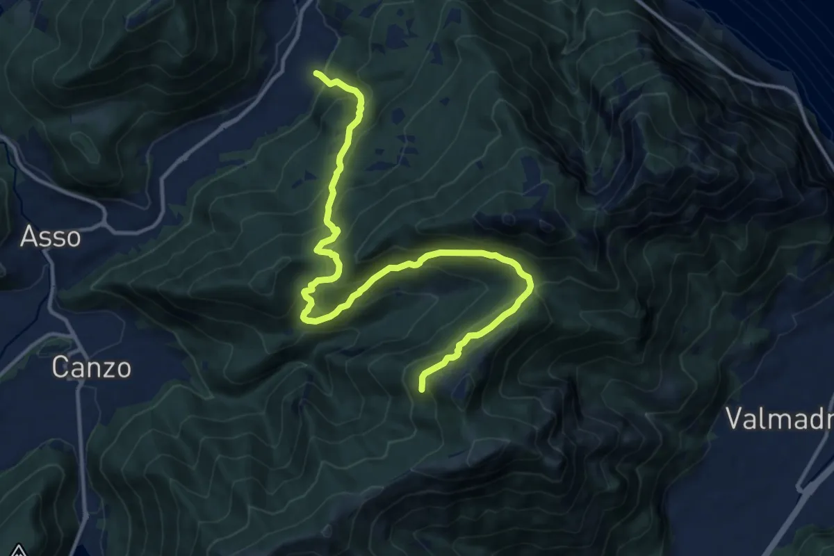
Medium · Summit
Visino (Valbrona) – Rifugio SEV
5.5 km · ↑ 406 m · 2 h 11 min · 3 km away
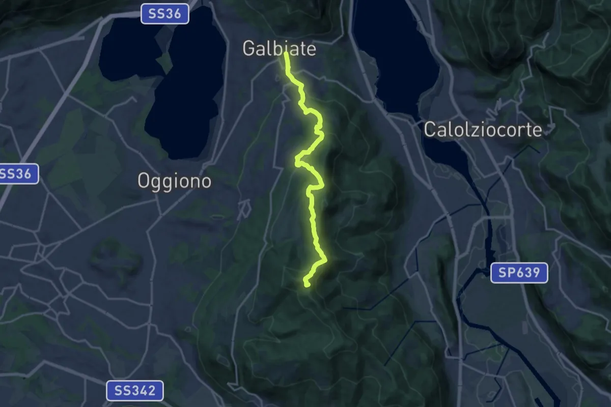
Demanding · Trail
Candalino – Alpe Alto
14.3 km · ↑ 1171 m · 5 h 55 min · 3 km away
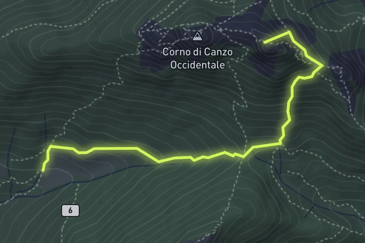
Medium · Summit
Olgiate Molgora (FS) – Galbiate
14.3 km · ↑ 669 m · 4 h 50 min · 4 km away
Medium · Summit
Terz'Alpe – Rifugio SEV Pianezzo
4.5 km · ↑ 519 m · 2 h 11 min · 4 km away
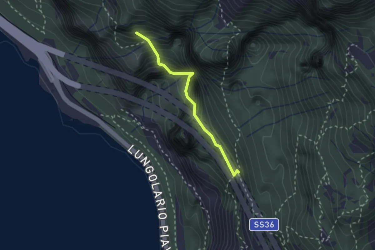
Demanding · Summit
Sentiero Costantino Fiocchi
1.8 km · ↑ 629 m · 1 h 48 min · 4 km away
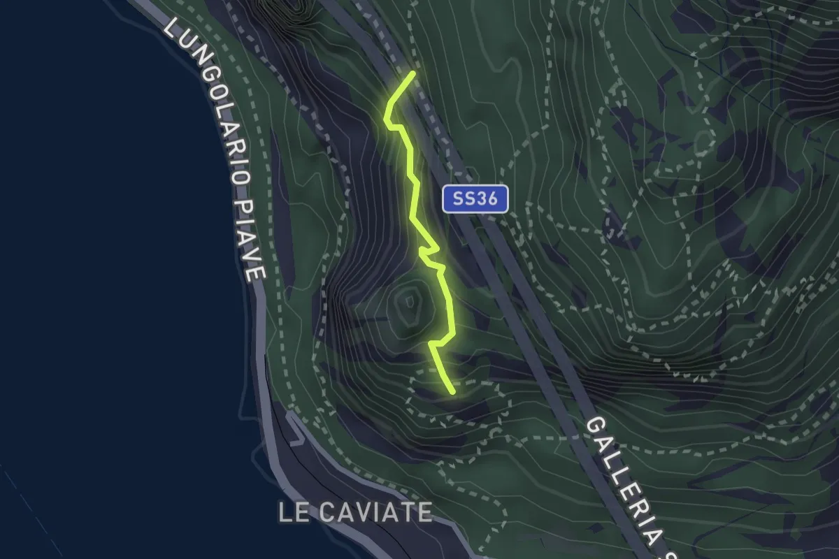
Expert · Summit
Sentiero Piero Pensa
1.6 km · ↑ 311 m · 1 h 2 min · 4 km away
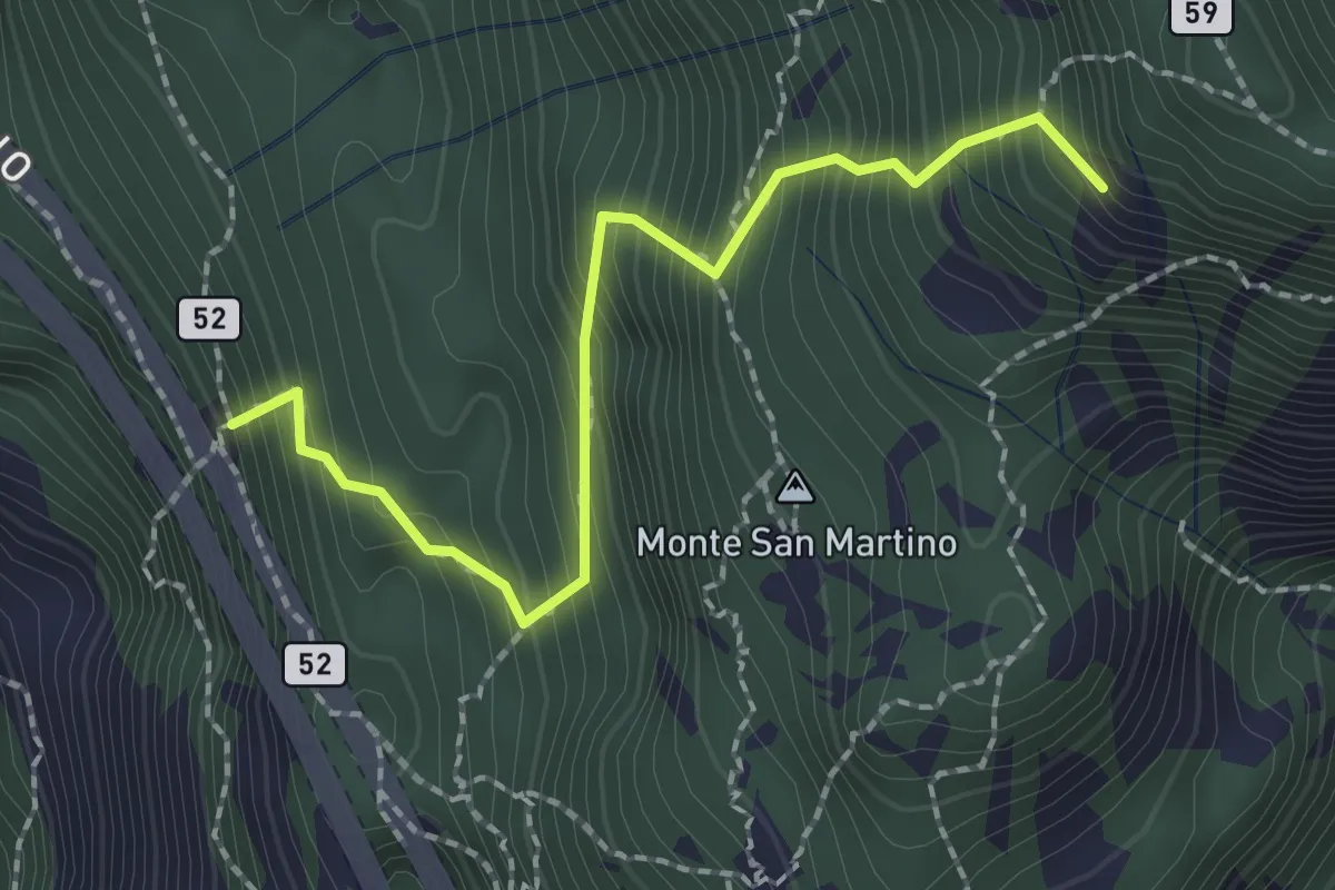
Demanding · Summit
Rifugio Riccardo Piazza – Corno Medale
2.1 km · ↑ 415 m · 1 h 24 min · 4 km away
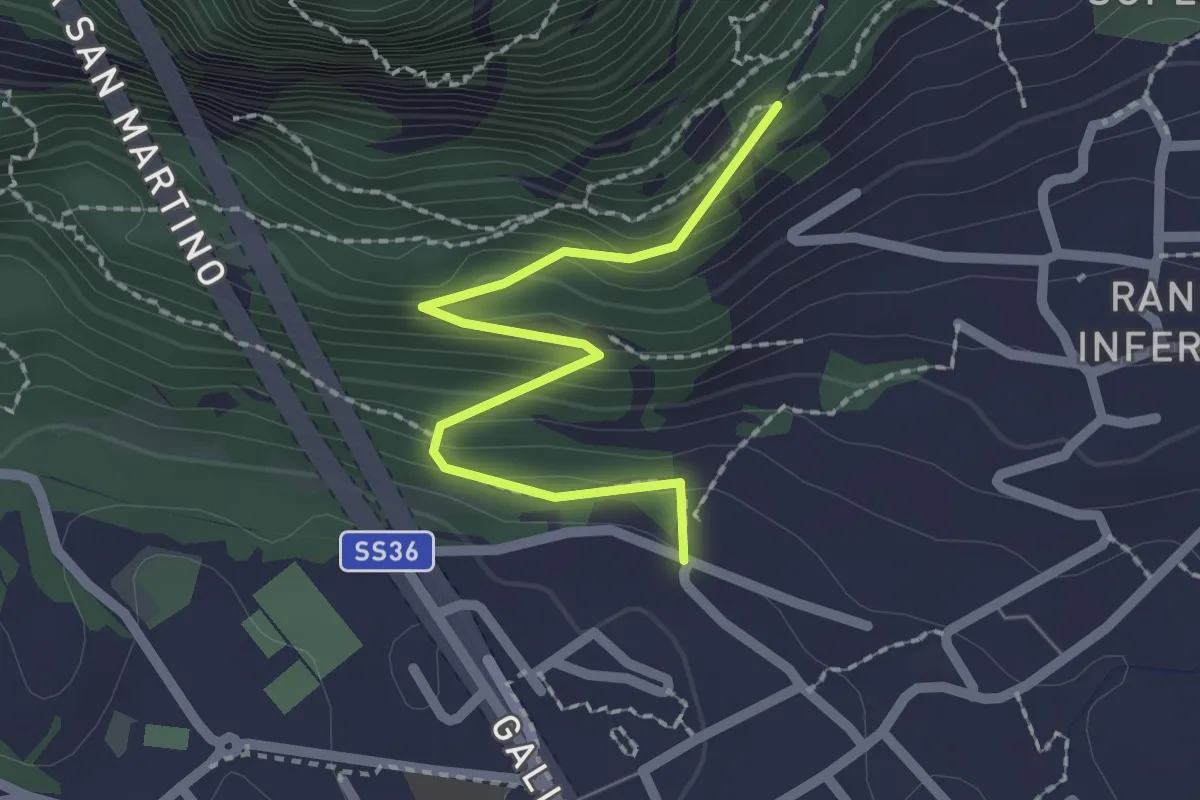
Easy · Trail
Lecco (via Ronco Inferiore) – Incrocio 552_1
2.1 km · ↑ 168 m · 52 min · 4 km away
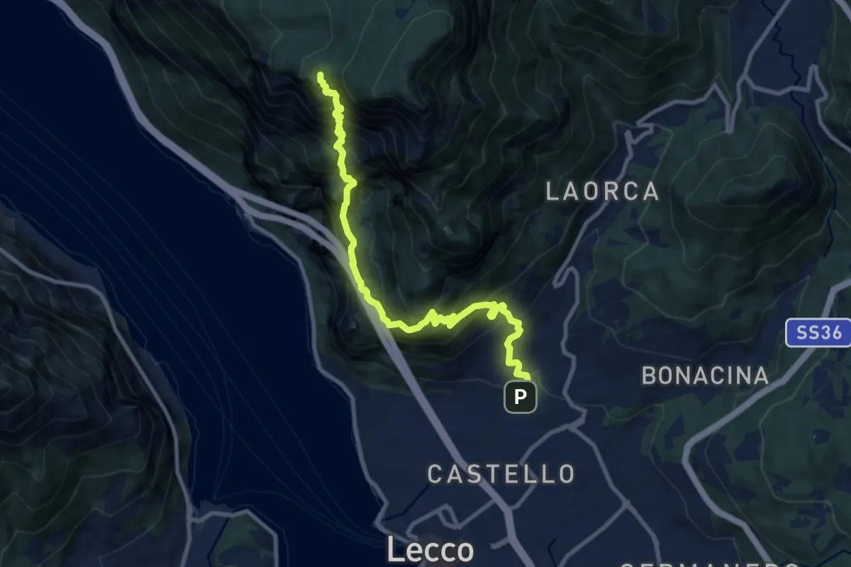
Expert · Summit
Lecco (San Giovanni) – Pian dei Resinelli
10.0 km · ↑ 1587 m · 5 h 47 min · 4 km away
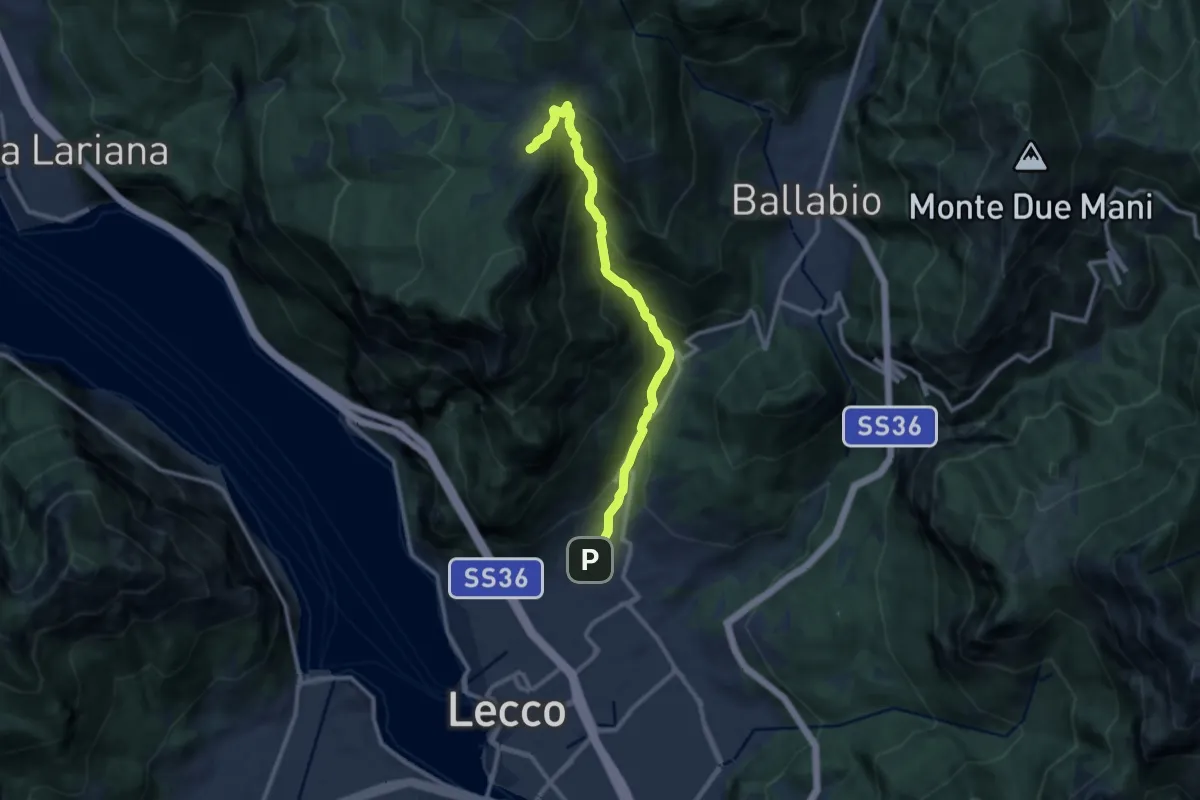
Demanding · Cabin
Sentiero della Val Calolden
10.5 km · ↑ 1010 m · 4 h 40 min · 4 km away
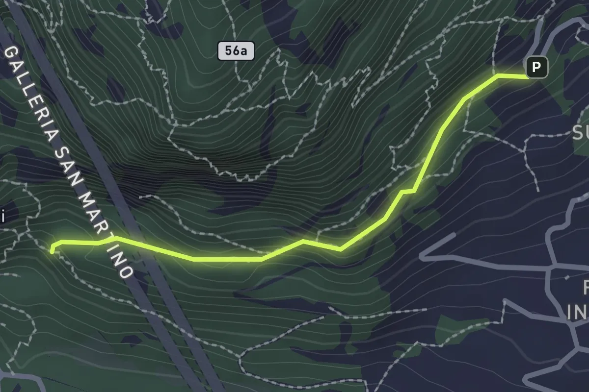
Medium · Trail
Incrocio 552 – Incrocio 553_1
2.1 km · ↑ 156 m · 50 min · 4 km away
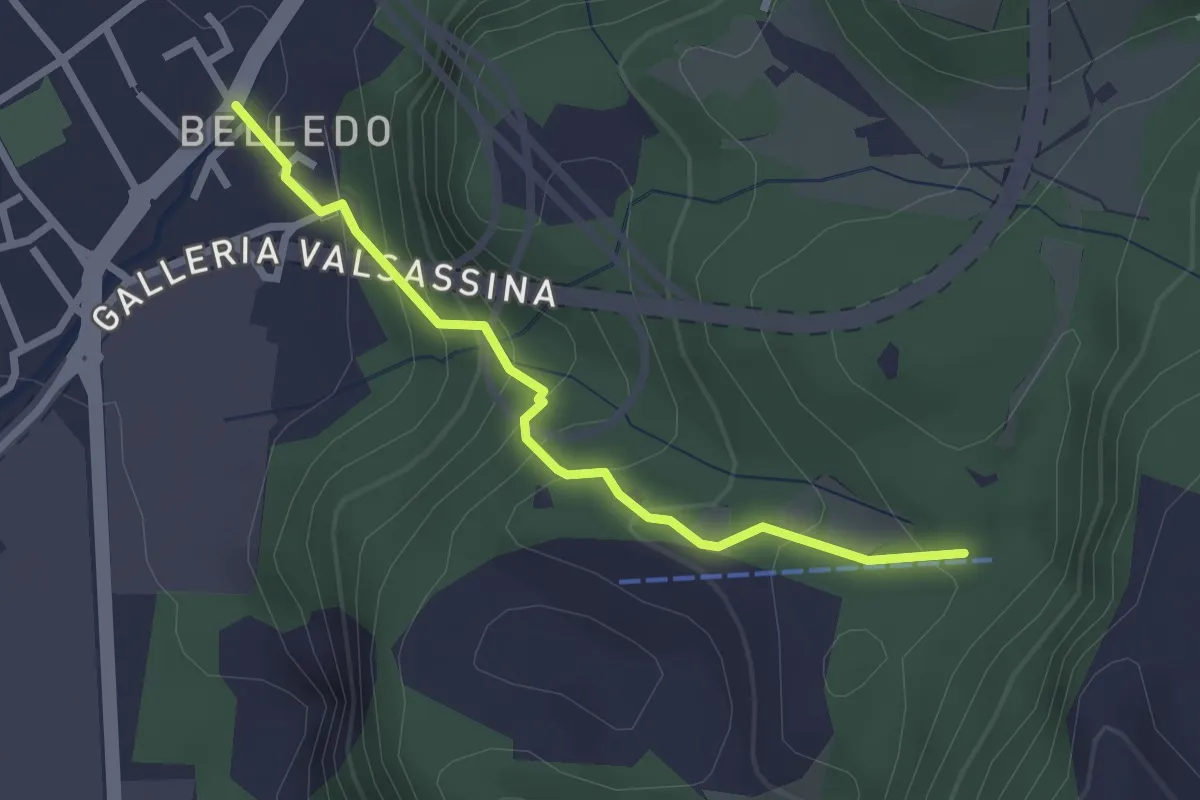
Easy · Trail
Belledo (Lecco) – Sentiero Rotary 920, Vaiolo Bassa
2.5 km · ↑ 202 m · 1 h 1 min · 4 km away