Trails near Valmadrera
362 hikes starting within 15 km, nearest first.
Nearest first, page 2 of 8
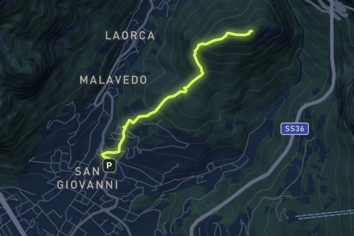
Medium · Summit
Lecco (Varigione) – Monte Melma
5.3 km · ↑ 554 m · 2 h 27 min · 4 km away
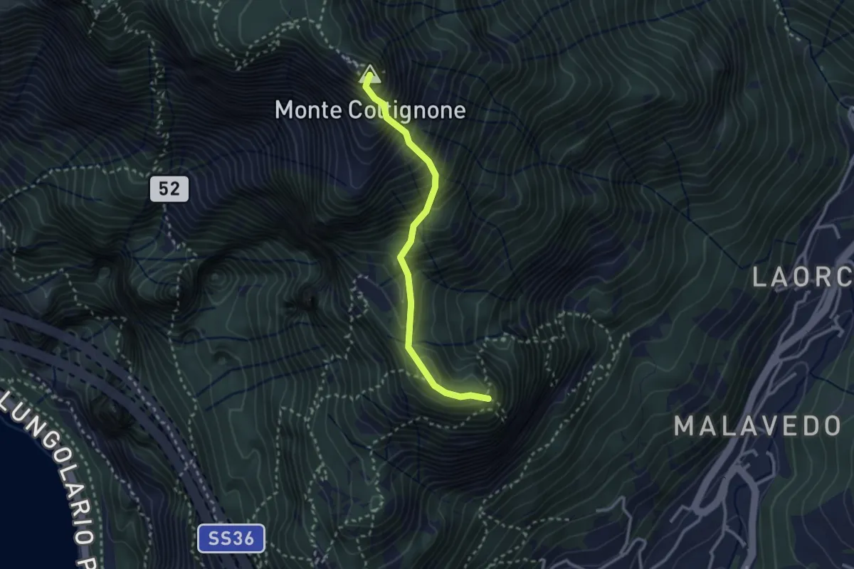
Expert · Summit
Sentiero GER
2.6 km · ↑ 532 m · 1 h 45 min · 4 km away
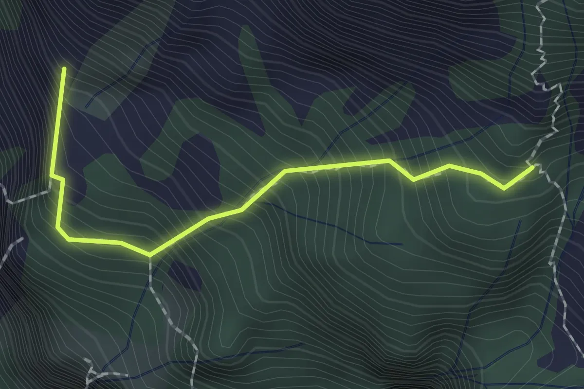
Expert · Summit
Sentiero dei Tecett
1.8 km · ↑ 408 m · 1 h 18 min · 4 km away
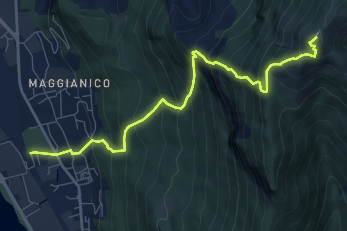
Demanding · Summit
Lecco – Monte Magnodeno
7.2 km · ↑ 1006 m · 3 h 52 min · 4 km away
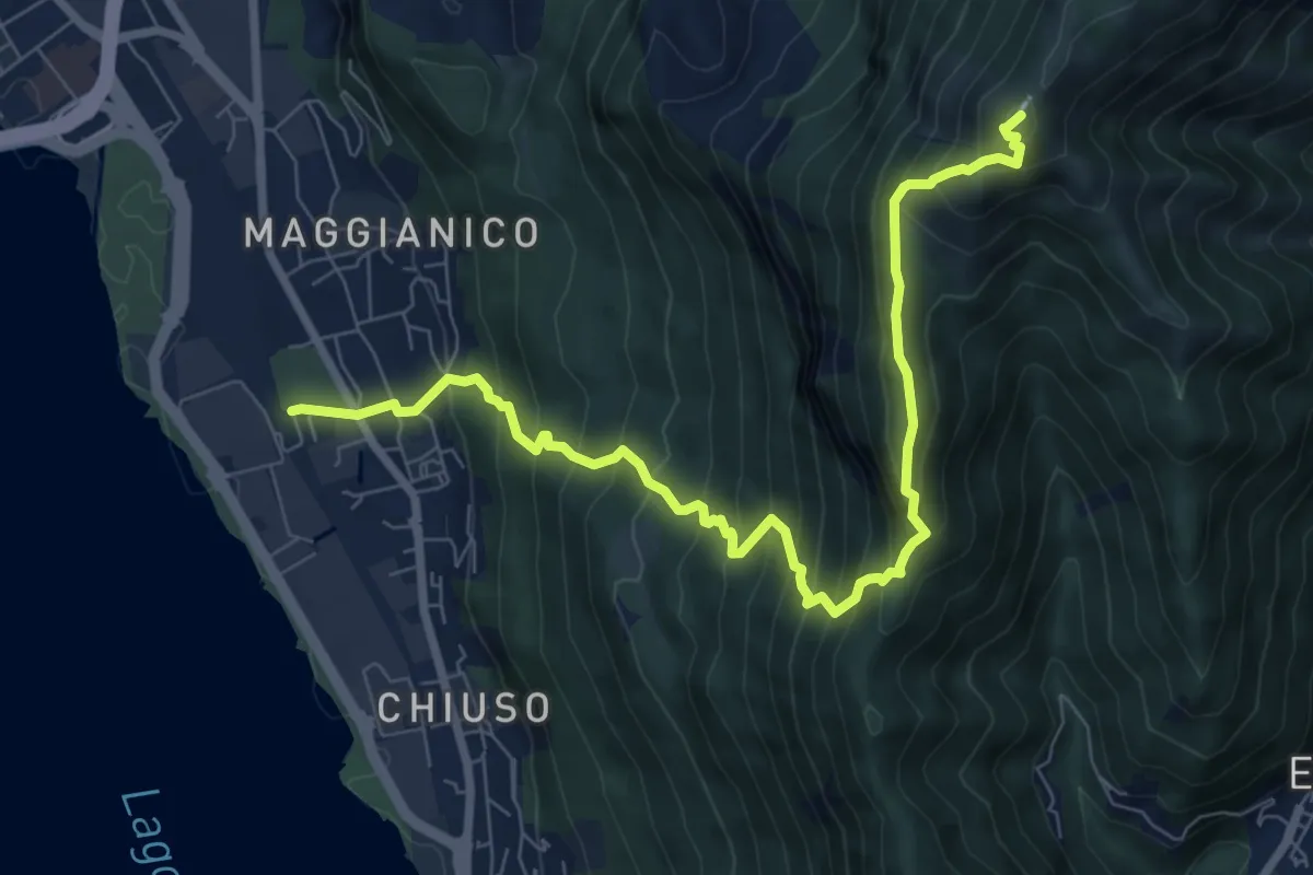
Demanding · Summit
Lecco – Monte Magnodeno
9.1 km · ↑ 992 m · 4 h 18 min · 4 km away
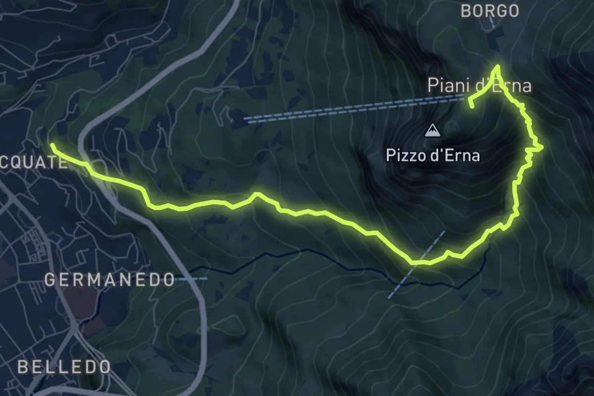
Demanding · Trail
Acquate – Piani d'Erna, funivia
10.6 km · ↑ 997 m · 4 h 40 min · 5 km away
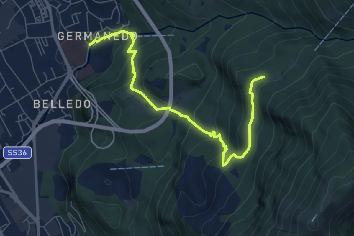
Medium · Trail
Lecco – Campo de' Boi, La Madonnina
6.5 km · ↑ 445 m · 2 h 31 min · 5 km away
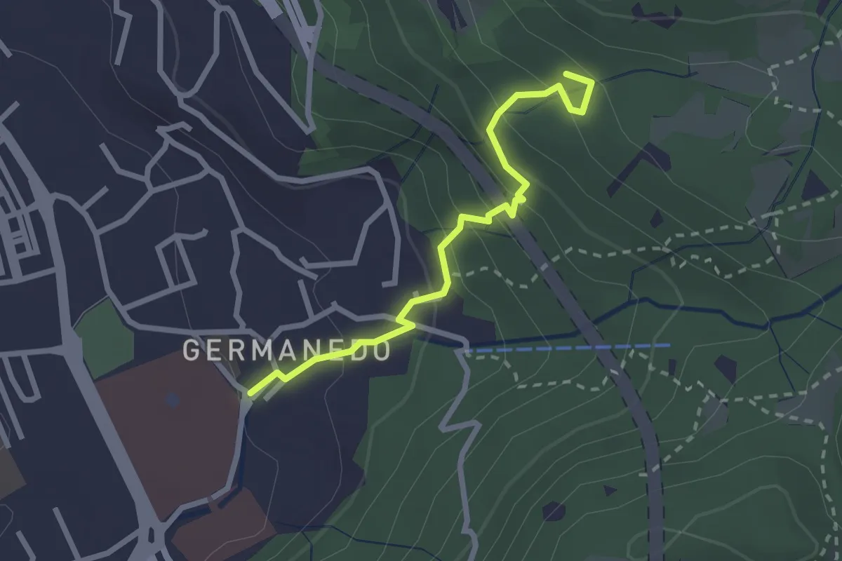
Easy · Trail
Lecco – Innesto su percorso 903
2.4 km · ↑ 183 m · 57 min · 5 km away
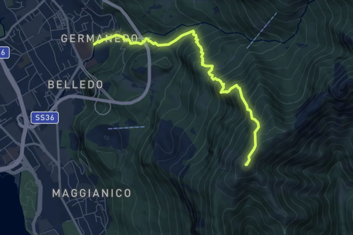
Demanding · Summit
Lecco Germanedo – Monte Magnodeno
8.0 km · ↑ 950 m · 3 h 57 min · 5 km away
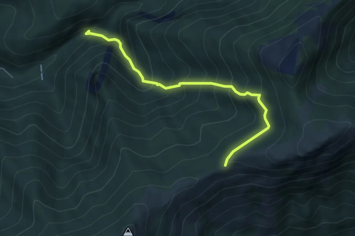
Medium · Trail
Sentiero Geologico (San Miro) – Pendici del Monte Rai
4.7 km · ↑ 531 m · 2 h 15 min · 5 km away
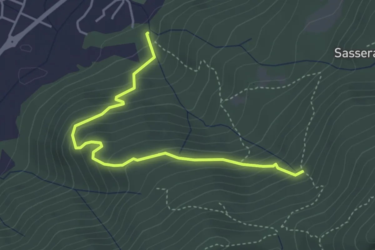
Easy · Trail
Ponte Castel – Sorgente (Valbrona)
4.0 km · ↑ 308 m · 1 h 37 min · 5 km away
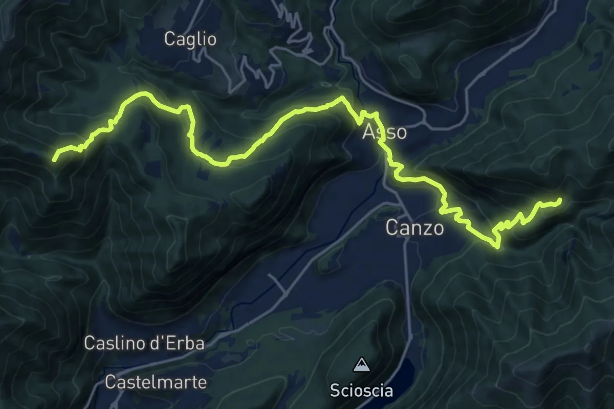
Demanding · Summit
CamminaForeste - Tappa 9B
20.9 km · ↑ 1286 m · 7 h 44 min · 5 km away
Easy · Trail
Incrocio 551 – Incrocio 556
2.7 km · ↑ 193 m · 1 h 3 min · 5 km away
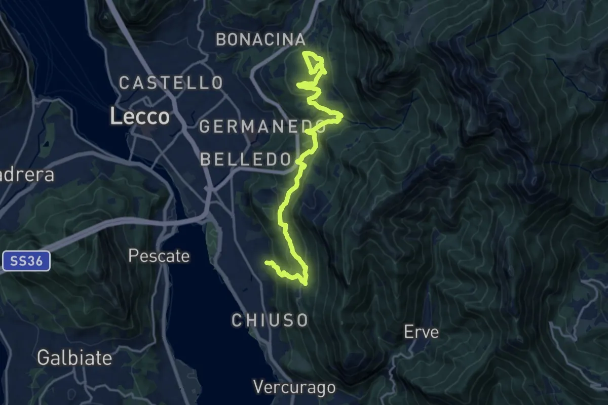
Demanding · Trail
Sentiero Rotary Lecco
16.4 km · ↑ 875 m · 5 h 46 min · 5 km away
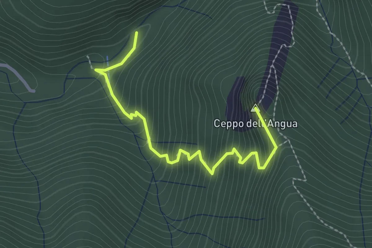
Medium · Summit
Sentiero Geologico – Rifugio SEC "Marisa Consigliere"
2.5 km · ↑ 328 m · 1 h 18 min · 5 km away
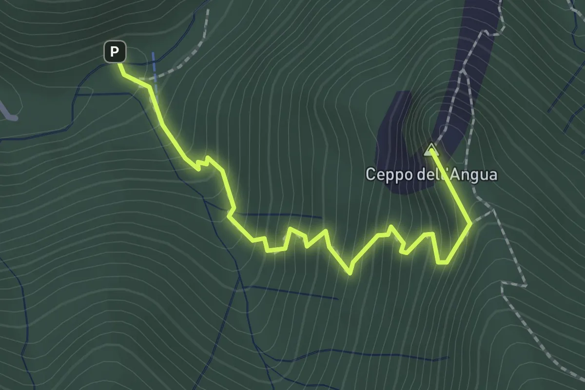
Medium · Summit
Sentiero Geologico – Rifugio SEC "Marisa Consigliere"
2.3 km · ↑ 312 m · 1 h 13 min · 5 km away
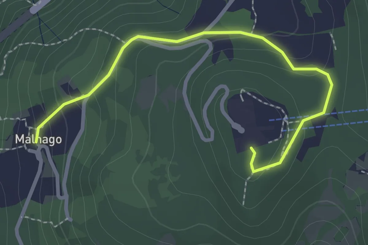
Easy · Trail
Malnago – Piazzale funivia per Erna
2.5 km · ↑ 112 m · 50 min · 5 km away
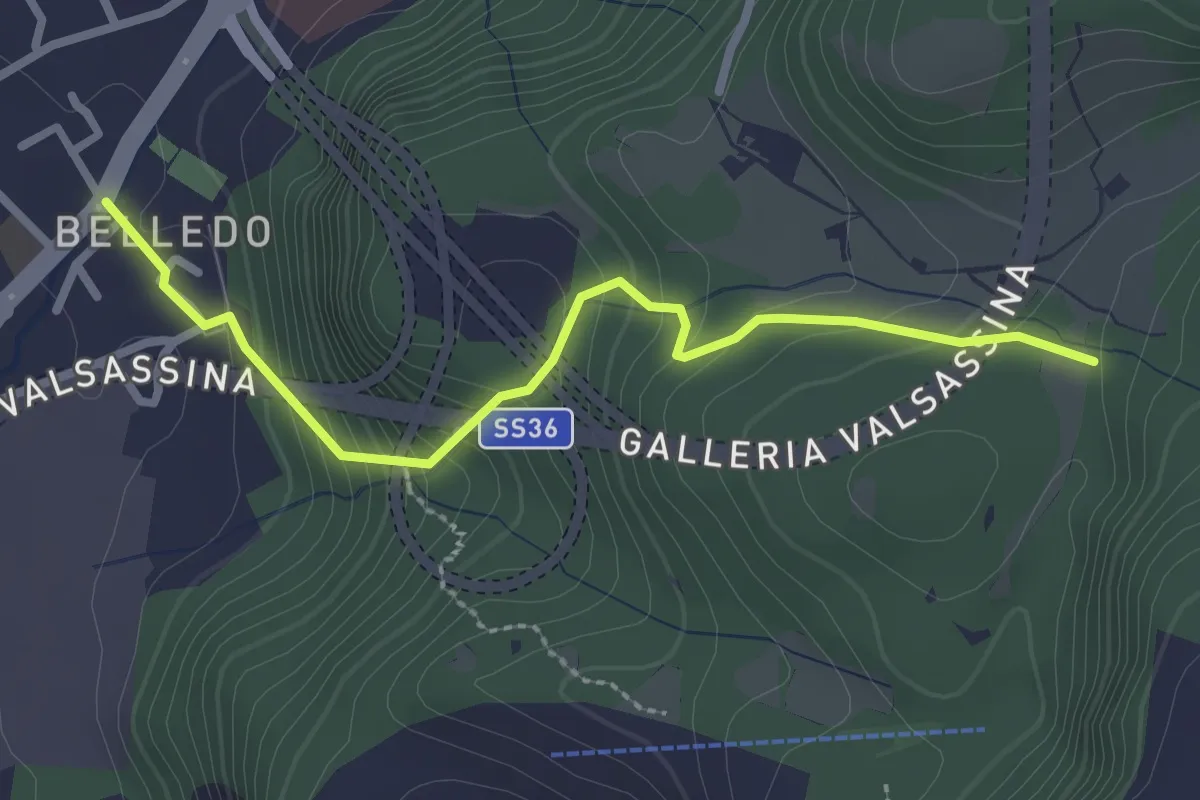
Easy · Trail
Belledo (Lecco) – Sentiero Rotary 920
2.7 km · ↑ 228 m · 1 h 8 min · 5 km away
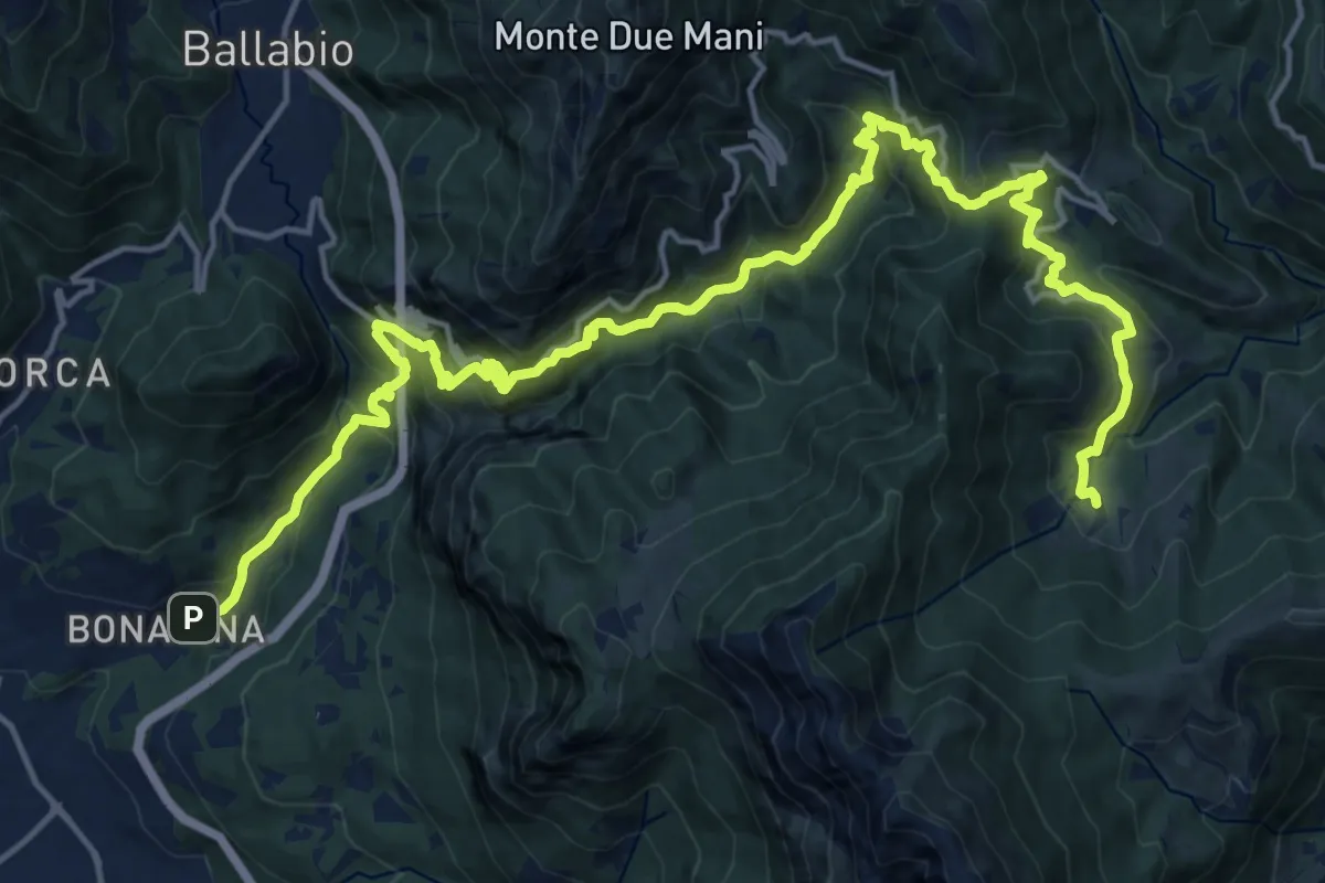
Demanding · Trail
Bonacina – Morterone
11.5 km · ↑ 1187 m · 5 h 5 min · 5 km away
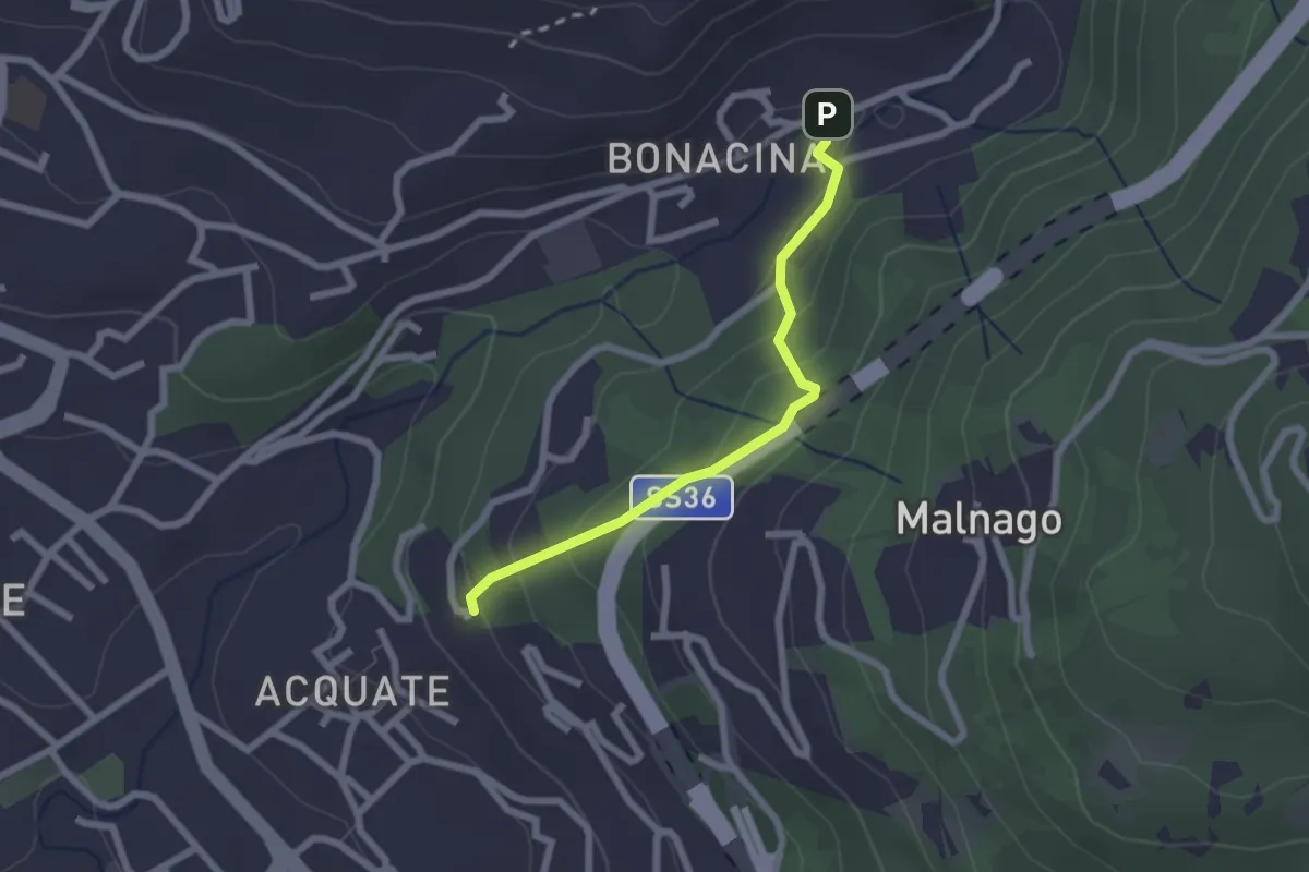
Easy · Trail
Bonacina – Acquate, Madonna di Lourdes
2.1 km · ↑ 114 m · 45 min · 5 km away
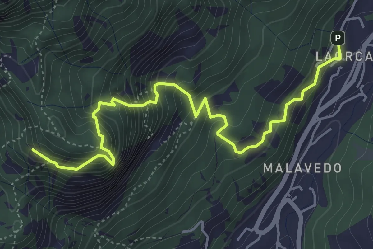
Demanding · Summit
Rifugio Piazza – Corno Medale
4.9 km · ↑ 860 m · 3 h 2 min · 5 km away
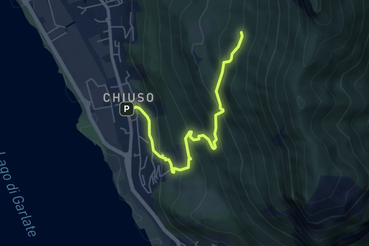
Medium · Cabin
Chiuso – Rifugio Camposecco
4.8 km · ↑ 430 m · 2 h 4 min · 5 km away
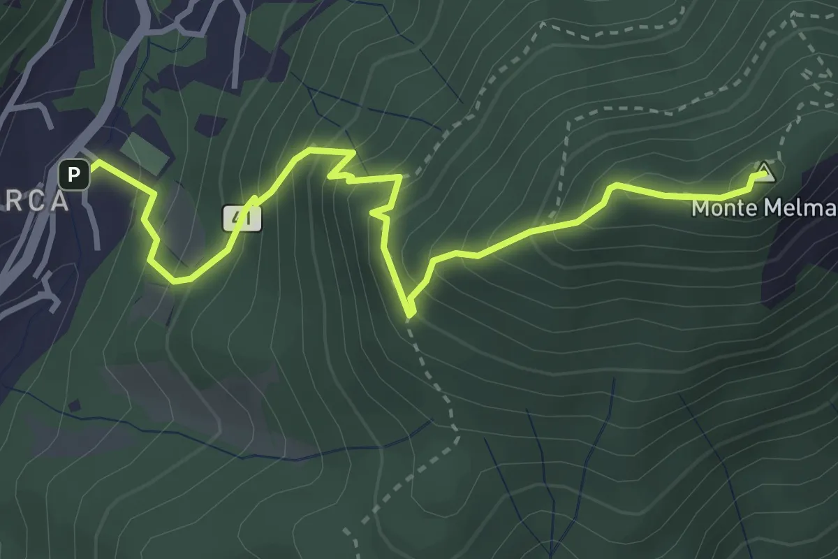
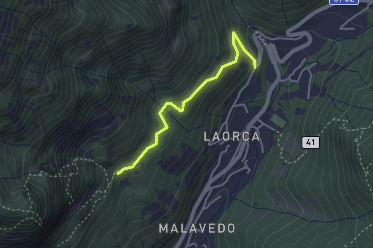
Medium · Summit
Laorca – Monte Melma
3.8 km · ↑ 481 m · 1 h 57 min · 5 km away
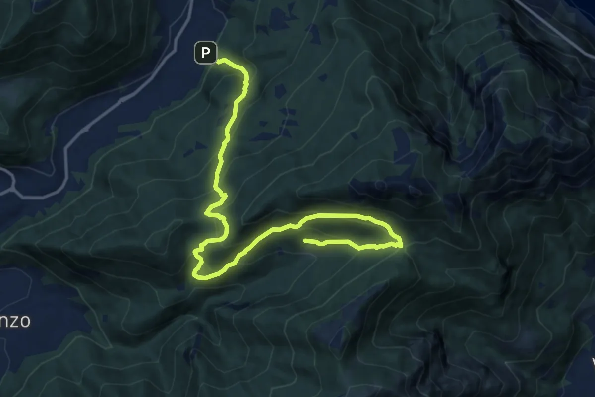
Demanding · Trail
Candalino – Terz'Alpe
13.4 km · ↑ 1138 m · 5 h 37 min · 5 km away
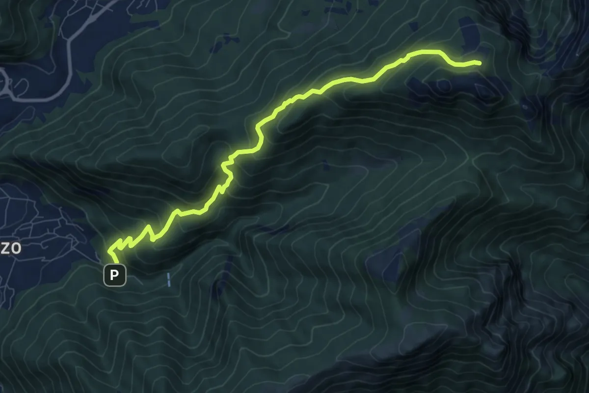
Medium · Cabin
Fonti di Gajum – Pianezzo
9.6 km · ↑ 780 m · 3 h 58 min · 5 km away
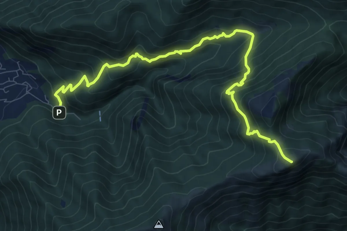
Demanding · Summit
Fonte di Gajum – Pendici del Monte Rai
10.9 km · ↑ 887 m · 4 h 30 min · 5 km away
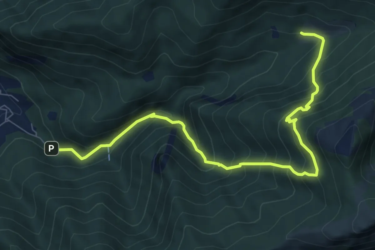
Demanding · Trail
Fonti di Gajum – Terz'Alpe
8.5 km · ↑ 900 m · 3 h 57 min · 5 km away
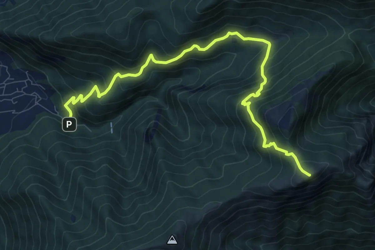
Demanding · Summit
Fonte di Gajum – Pendici del Monte Rai
10.9 km · ↑ 872 m · 4 h 28 min · 5 km away
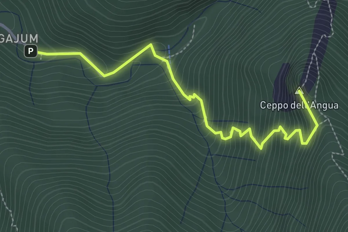
Medium · Summit
Fonti di Gajum – Rifugio Consiglieri
3.2 km · ↑ 370 m · 1 h 33 min · 5 km away
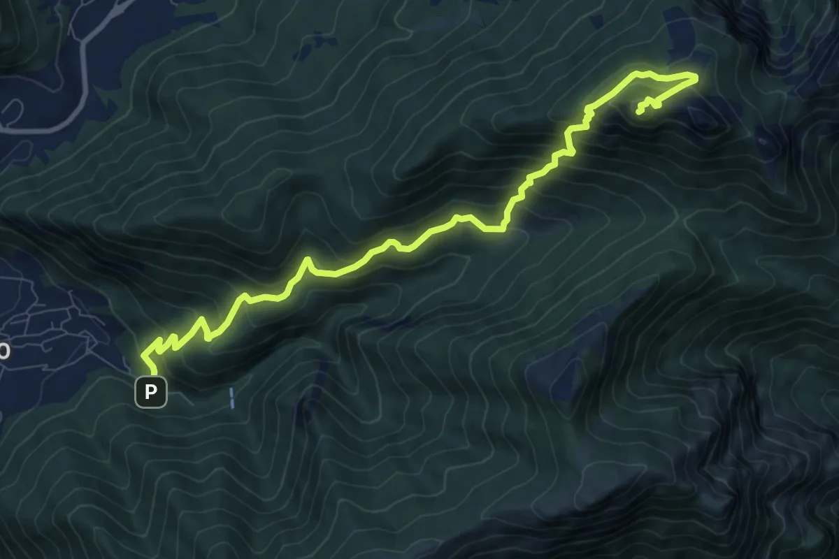
Expert · Summit
Fonti di Gajum – Vetta Corno Occidentale
10.7 km · ↑ 937 m · 4 h 33 min · 5 km away
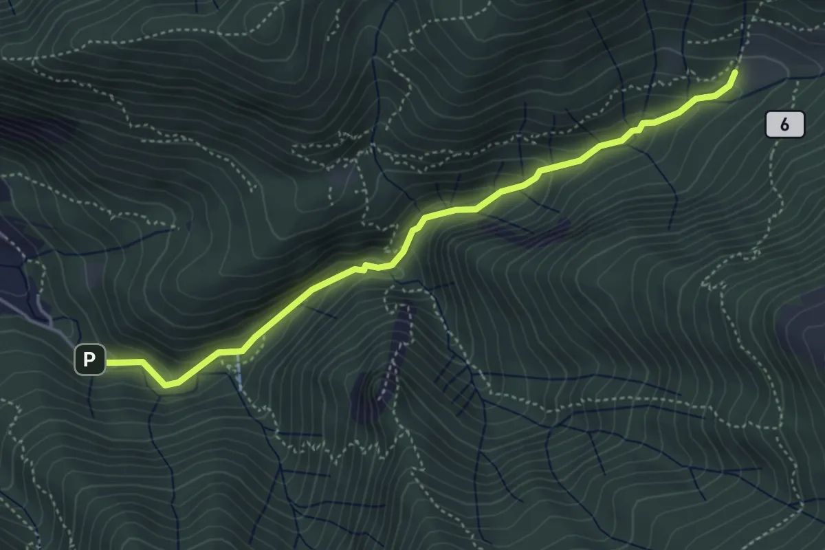
Medium · Trail
Sentiero Geologico Giorgio Achermann
4.7 km · ↑ 291 m · 1 h 45 min · 5 km away
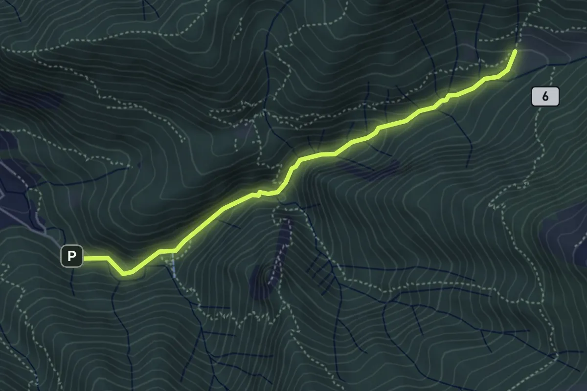
Medium · Trail
Fonti di Gajum – Terz'Alpe
4.8 km · ↑ 303 m · 1 h 47 min · 5 km away
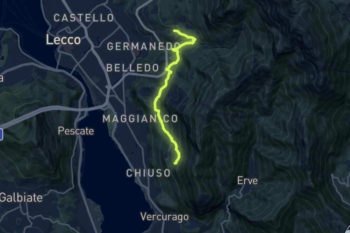
Medium · Trail
Percorso Giorgio Combi
10.5 km · ↑ 564 m · 3 h 43 min · 6 km away
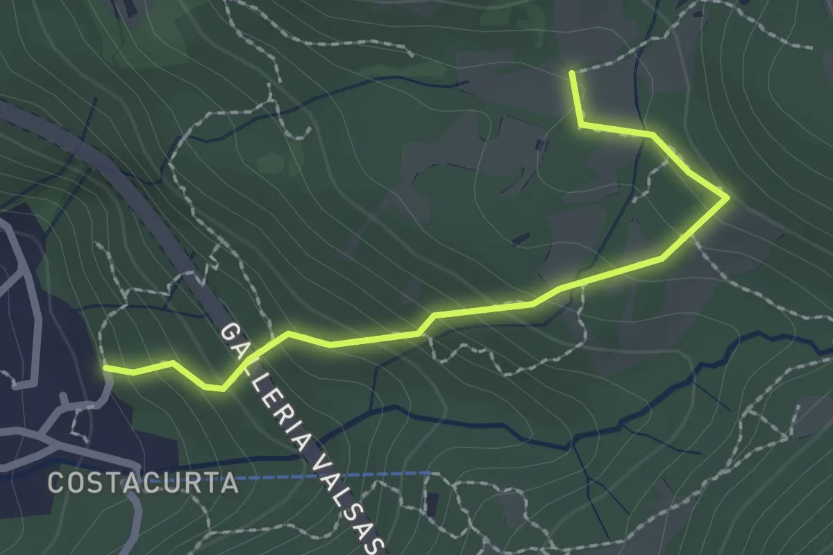
Easy · Trail
Germanedo, innesto percorso 903-1 – Cavagiozzo, innesto percorso 903
2.1 km · ↑ 196 m · 56 min · 6 km away
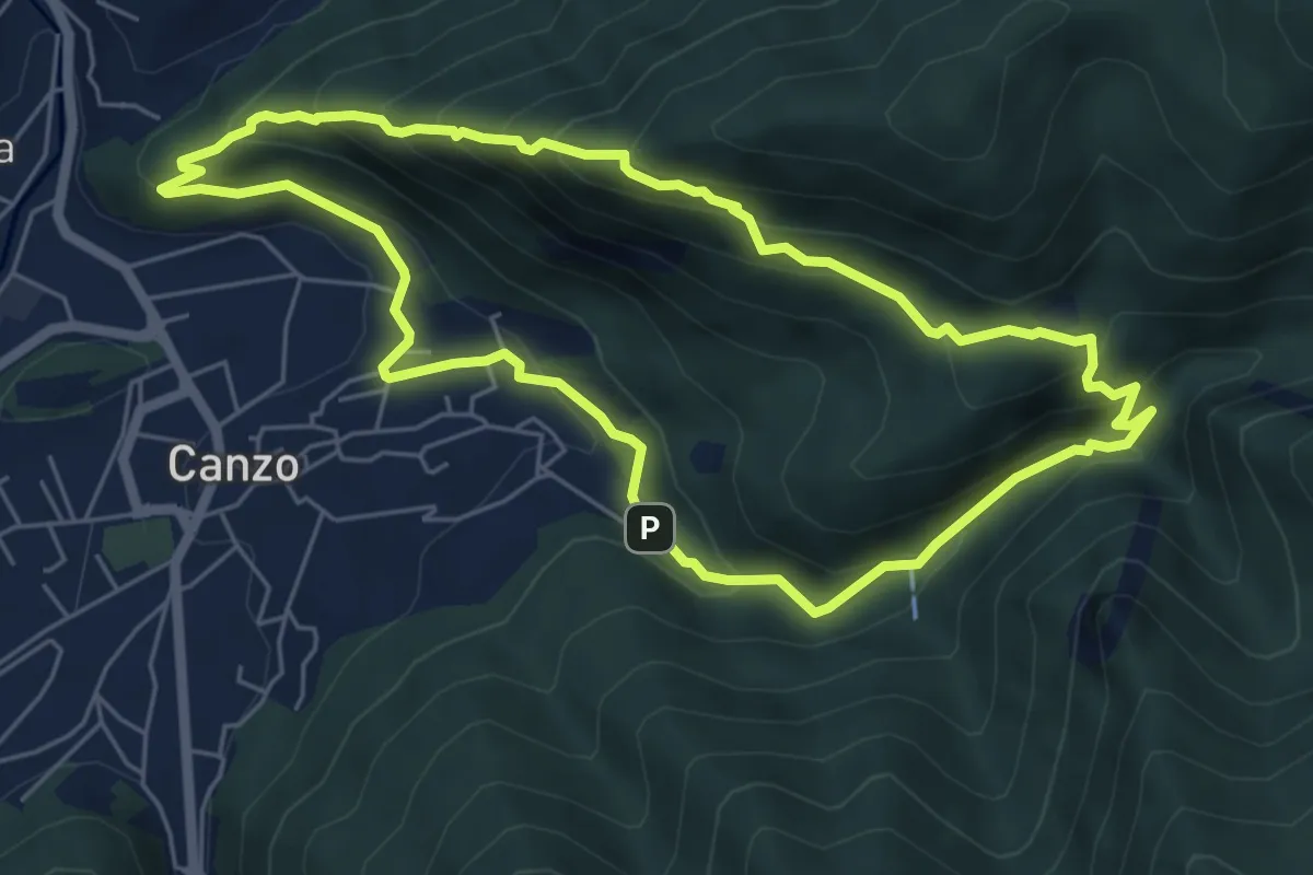
Medium · Trail
Sentiero Naturalistico dello Spaccasassi
5.9 km · ↑ 462 m · 2 h 29 min · 6 km away
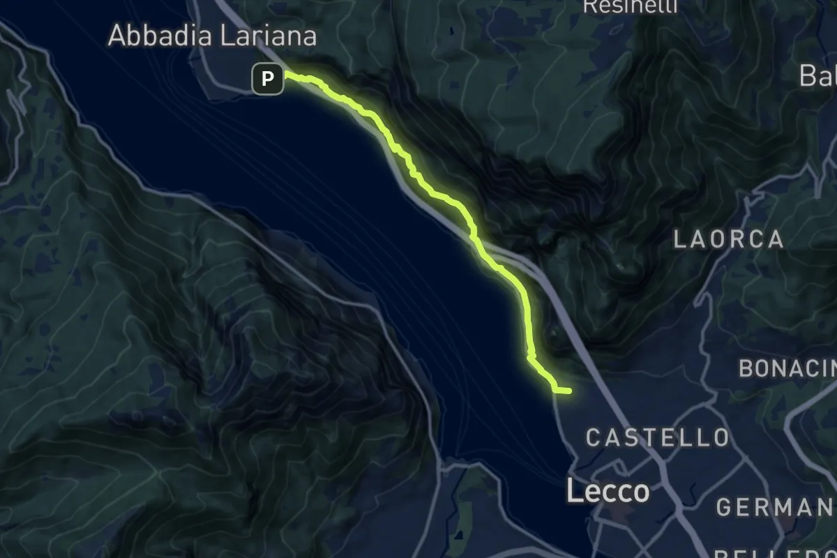
Medium · Summit
Sentiero del Viandante (Lecco - Abbadia Lariana)
11.1 km · ↑ 640 m · 4 h · 6 km away
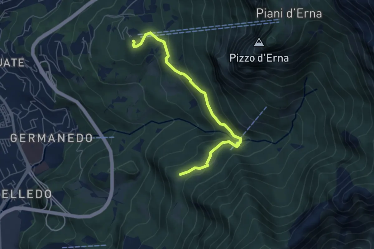
Easy · Trail
Piazzale funivia – Campo de' Boi - La Madonnina
5.5 km · ↑ 212 m · 1 h 45 min · 6 km away
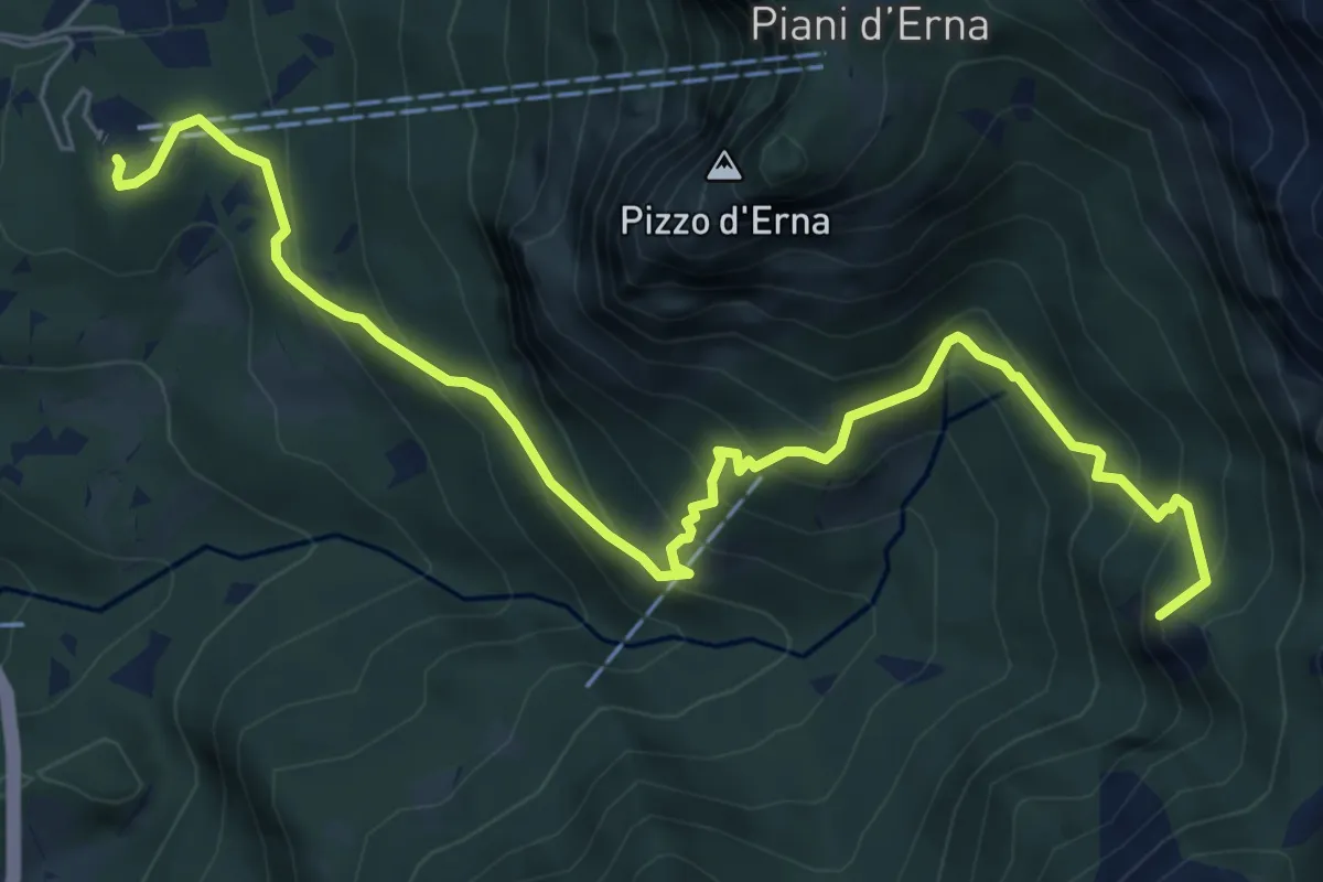
Medium · Summit
Piazzale funivia per Piani d'Erna – Rif. Alpinisti Monzesi
7.7 km · ↑ 658 m · 3 h 15 min · 6 km away
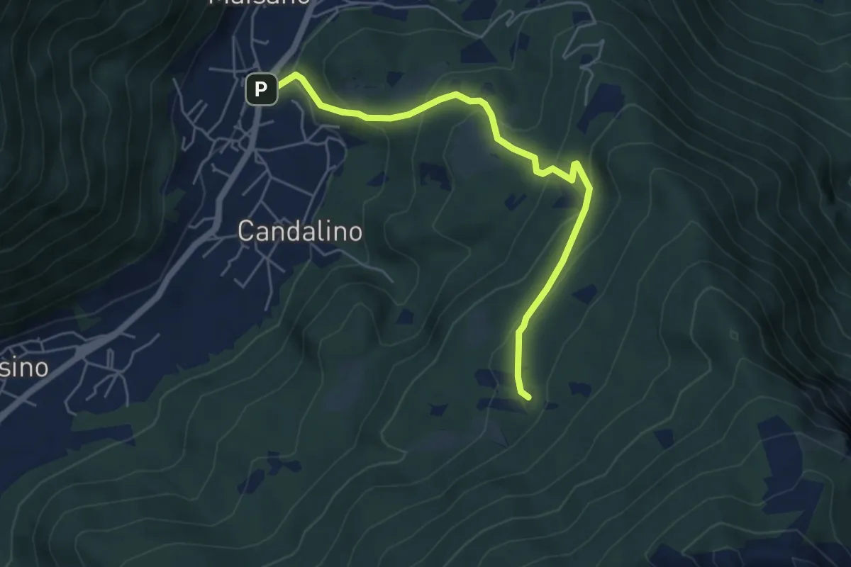
Medium · Trail
Osigo (Valbrona) – Valcerrina
5.4 km · ↑ 323 m · 1 h 58 min · 6 km away
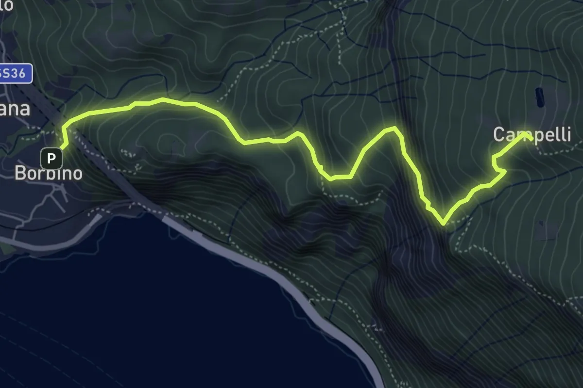
Medium · Trail
Borbino – Campelli, Chiesa di Santa Maria
6.3 km · ↑ 682 m · 2 h 58 min · 6 km away
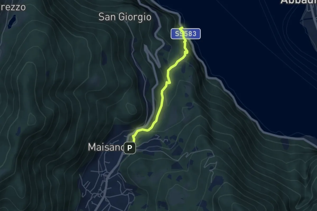
Demanding · Trail
Caprante – San Rocco (Valbrona)
4.0 km · ↑ 284 m · 1 h 34 min · 6 km away
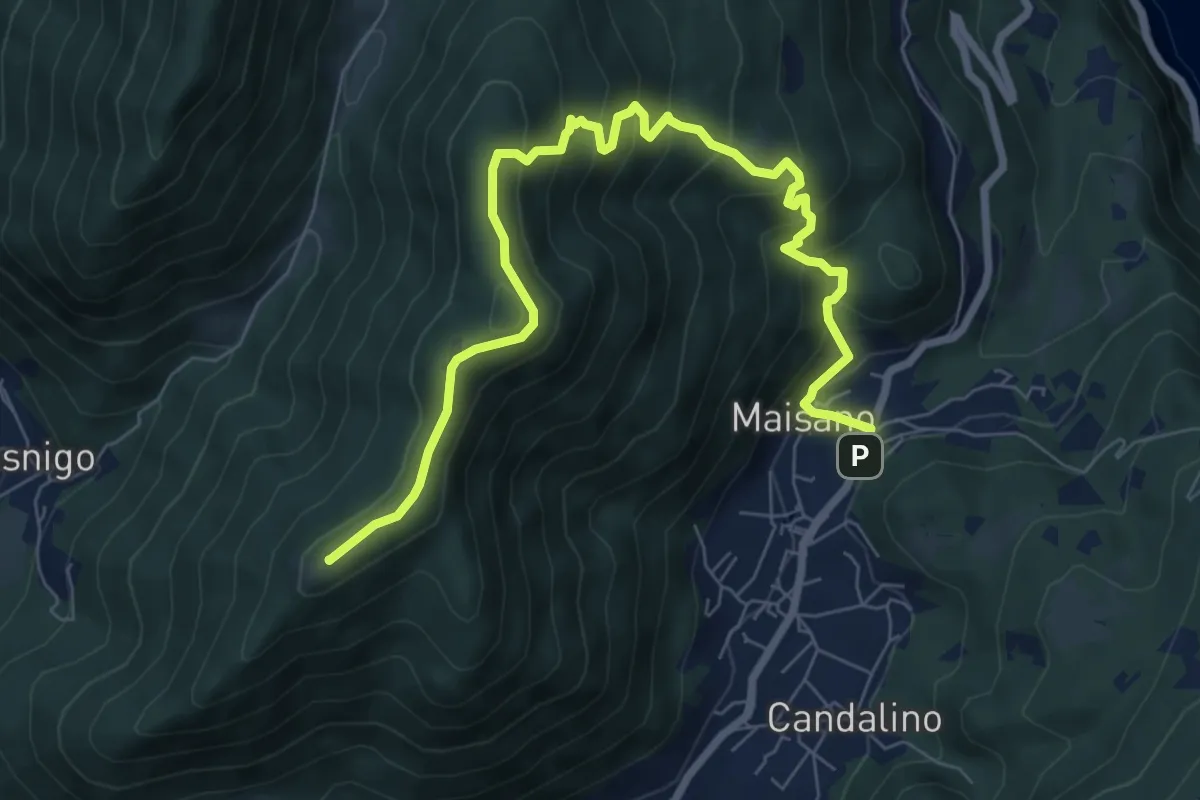
Medium · Summit
Valbrona - Maisano – Monte Megna
9.1 km · ↑ 626 m · 3 h 30 min · 6 km away
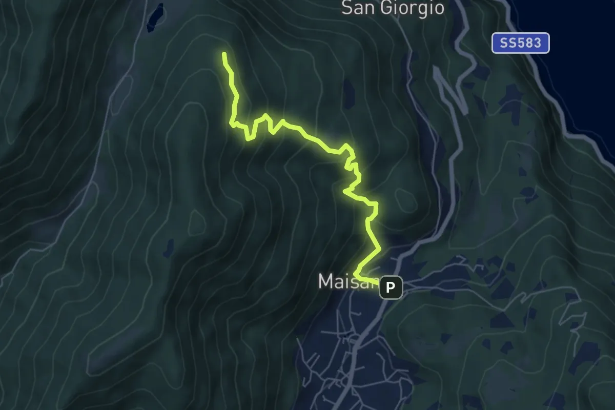
Medium · Trail
San Rocco (Valbrona) – Alpe di Piano
5.8 km · ↑ 478 m · 2 h 24 min · 6 km away
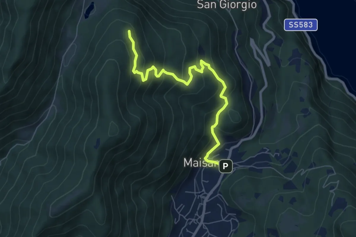
Medium · Trail
San Rocco (Valbrona) – Alpe di Piano
6.6 km · ↑ 472 m · 2 h 35 min · 6 km away
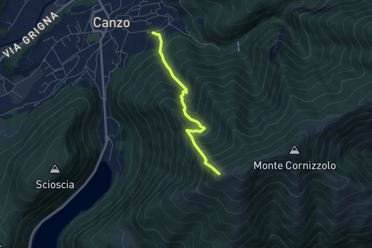
Medium · Trail
Lazzaretto (Canzo) – Monte Pesora
4.7 km · ↑ 667 m · 2 h 34 min · 6 km away
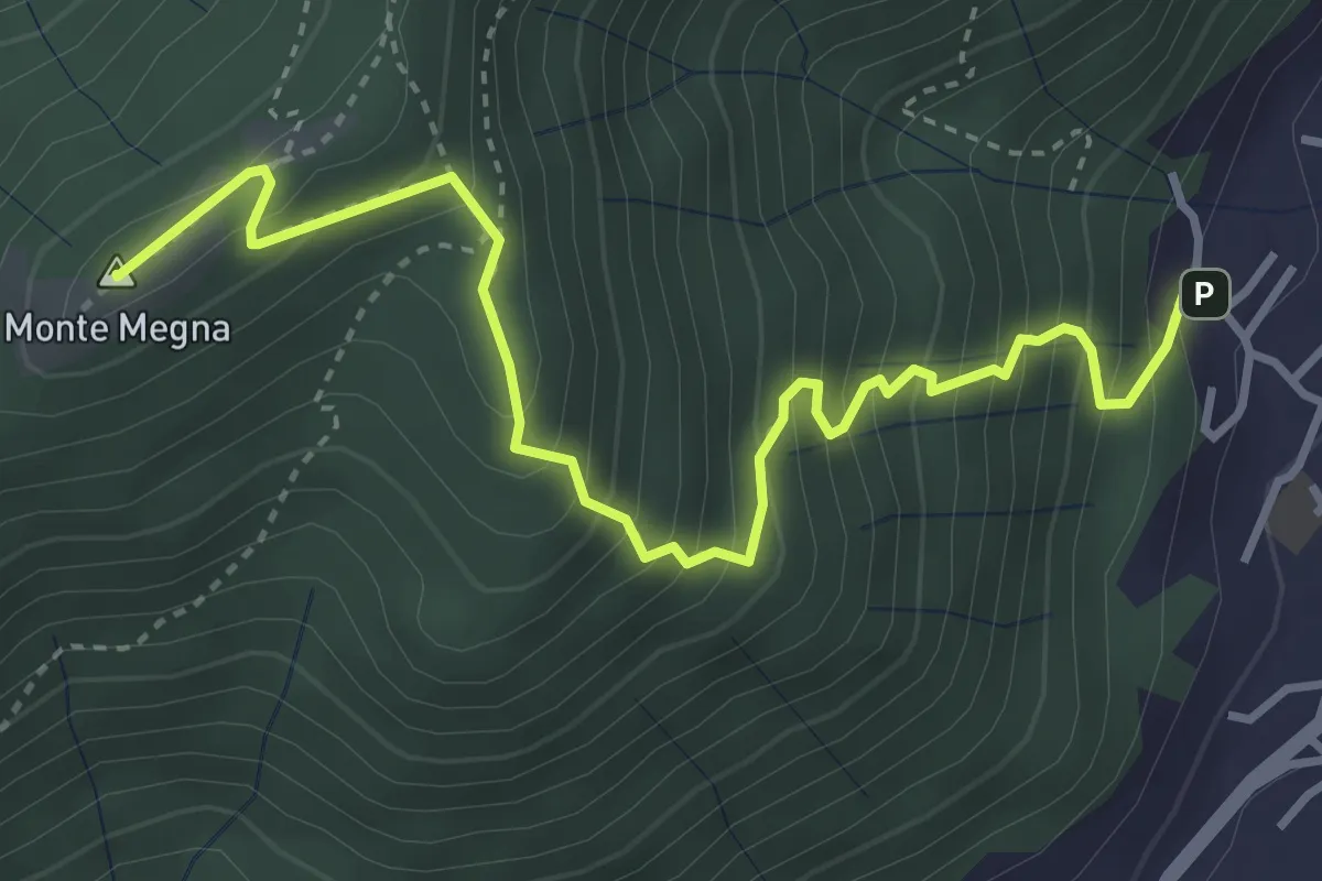
Demanding · Summit
Erta del Giubileo
4.3 km · ↑ 483 m · 2 h 3 min · 6 km away
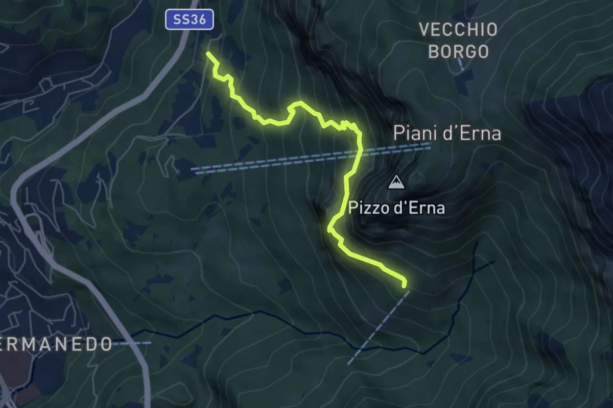
Expert · Cabin
Versasio – Rifugio Stoppani
5.6 km · ↑ 636 m · 2 h 42 min · 6 km away
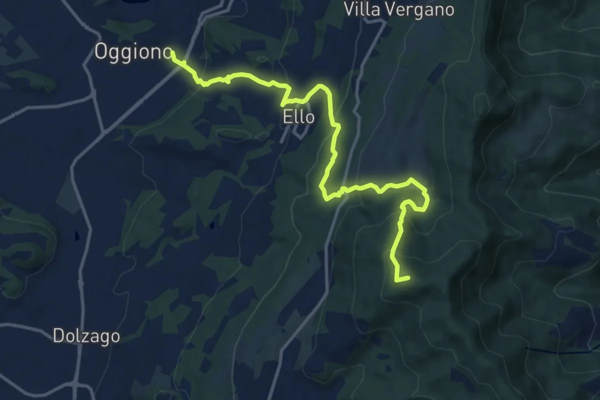
Medium · Summit
Oggiono – Monte Crocione
11.5 km · ↑ 618 m · 4 h 3 min · 6 km away