Trails near Valmadrera
362 hikes starting within 15 km, nearest first.
Nearest first, page 3 of 8
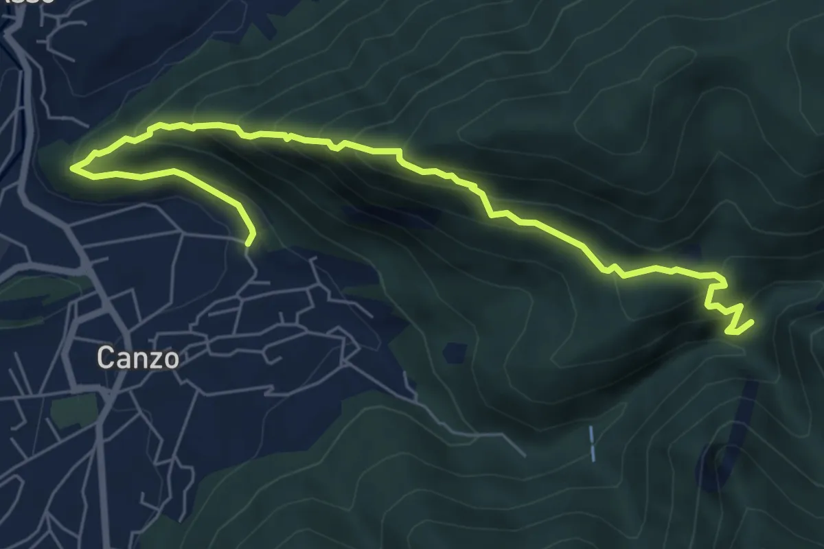
Medium · Trail
Ca' Bianca (Canzo) – Sentiero Geologico (San Miro)
7.2 km · ↑ 697 m · 3 h 12 min · 6 km away
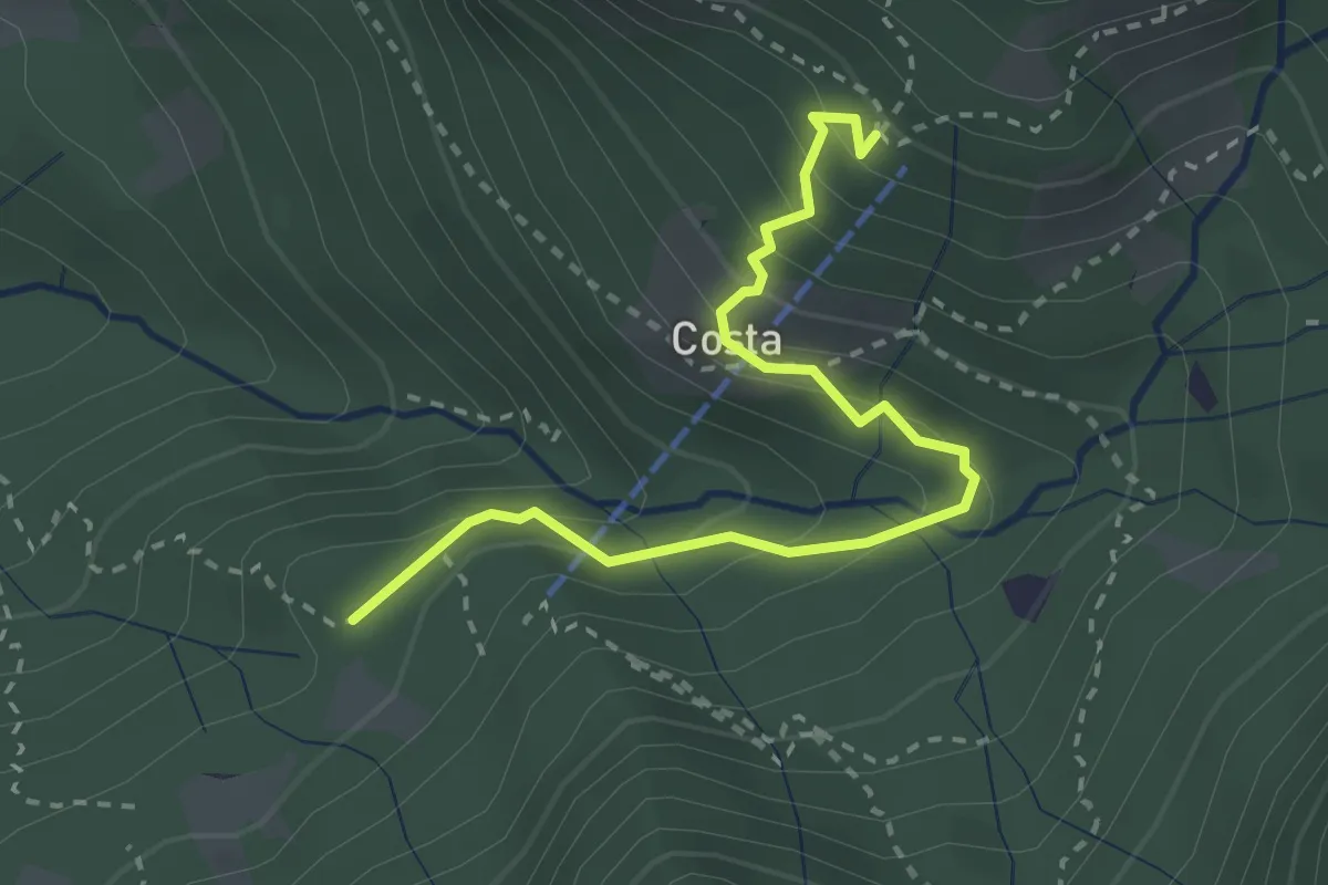
Medium · Cabin
Innesto 919 – Rifugio Sotppani
3.0 km · ↑ 272 m · 1 h 18 min · 6 km away
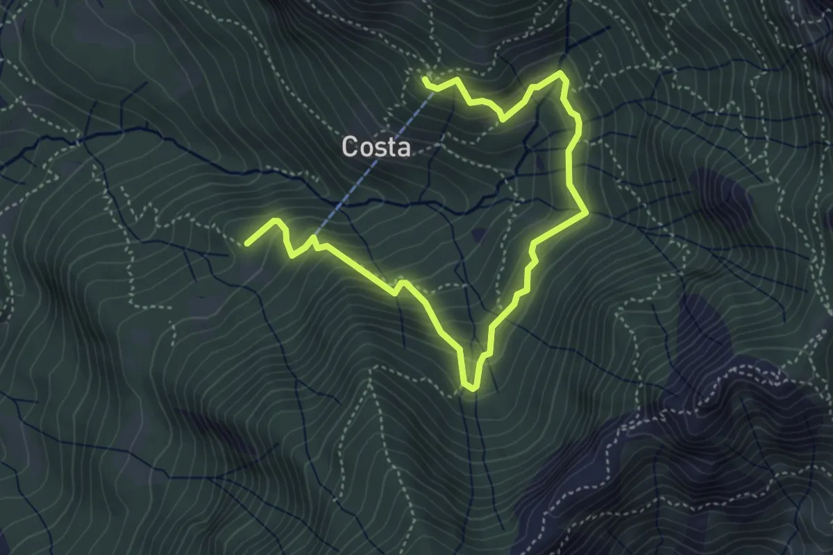
Medium · Cabin
Rifugio Stoppani – Innesto sentiero 919
5.6 km · ↑ 532 m · 2 h 28 min · 6 km away
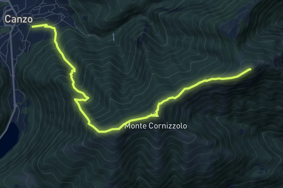
Demanding · Summit
Chiesa di San Francesco (Canzo) – La Colma (Rifugio Marisa Consiglieri)
11.0 km · ↑ 1087 m · 4 h 58 min · 6 km away
Demanding · Summit
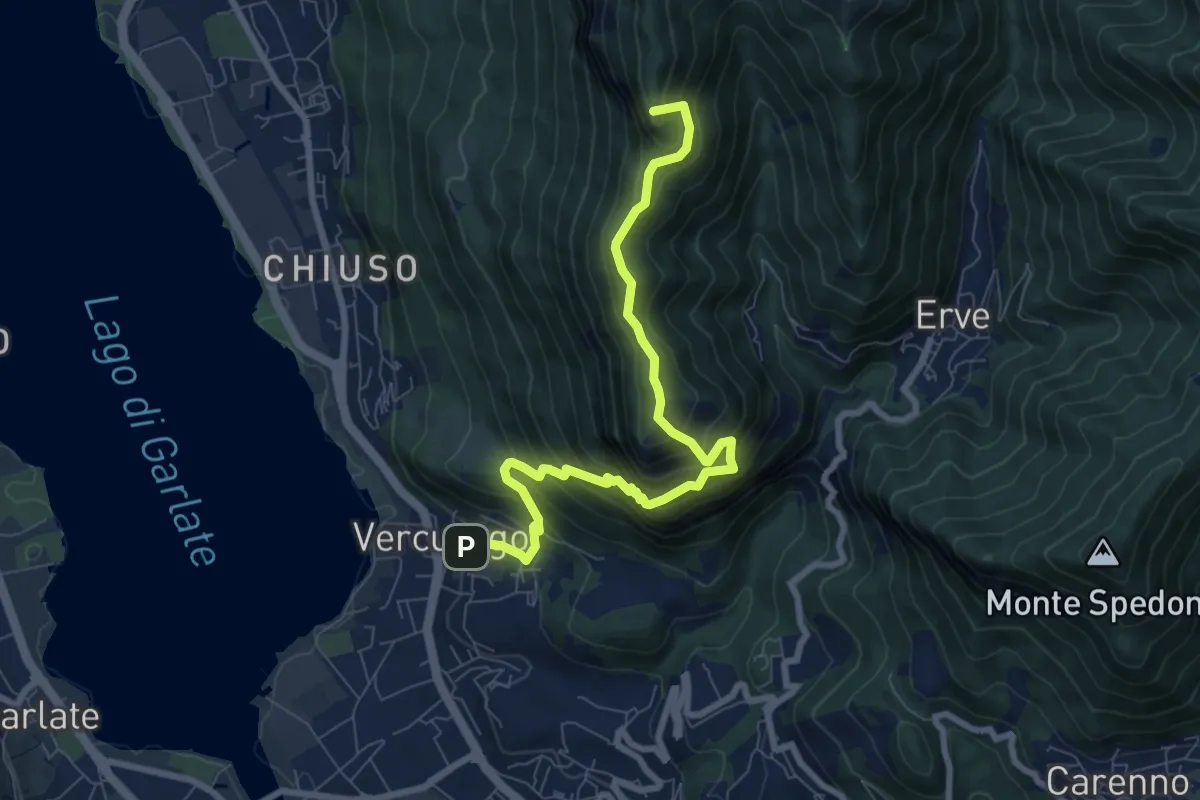
Erve – Somasca (Vercurago)
8.6 km · ↑ 981 m · 4 h 9 min · 6 km away
Medium · Summit
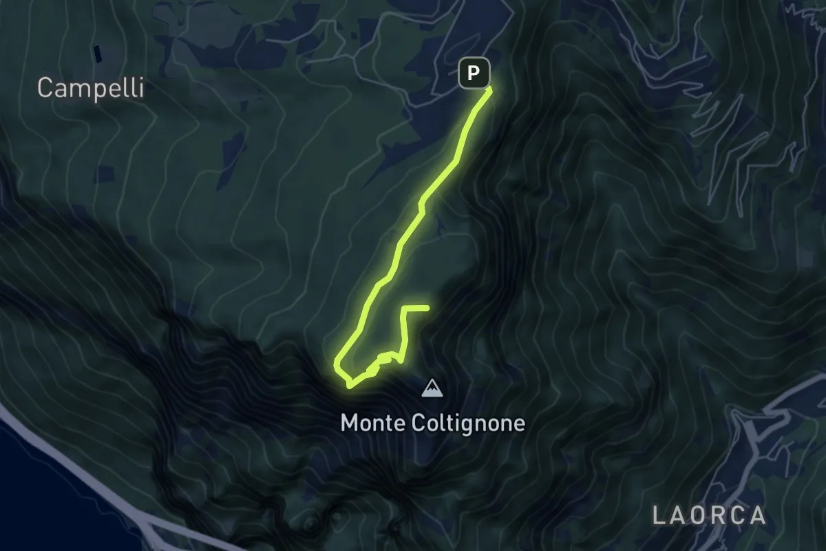
Itinerario 1 Parco Valentino
5.4 km · ↑ 301 m · 1 h 55 min · 6 km away
Medium · Trail
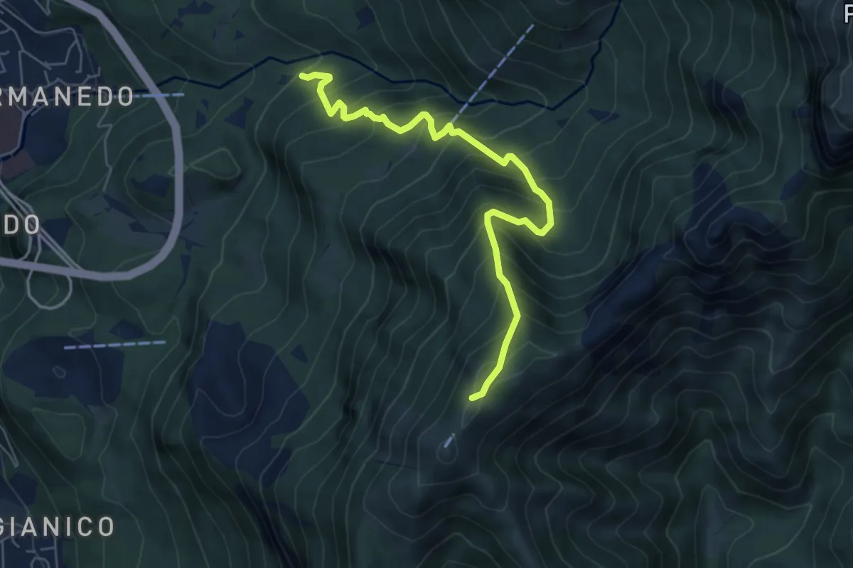
Innesto percorso 927 – Monte Magnodeno, innesto percorso 927
6.2 km · ↑ 754 m · 3 h 5 min · 7 km away
Medium · Trail
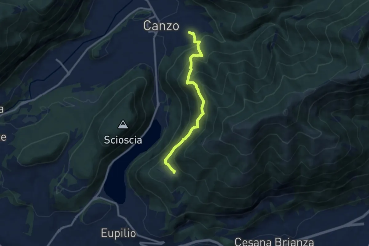
Senterun
6.7 km · ↑ 648 m · 2 h 59 min · 7 km away
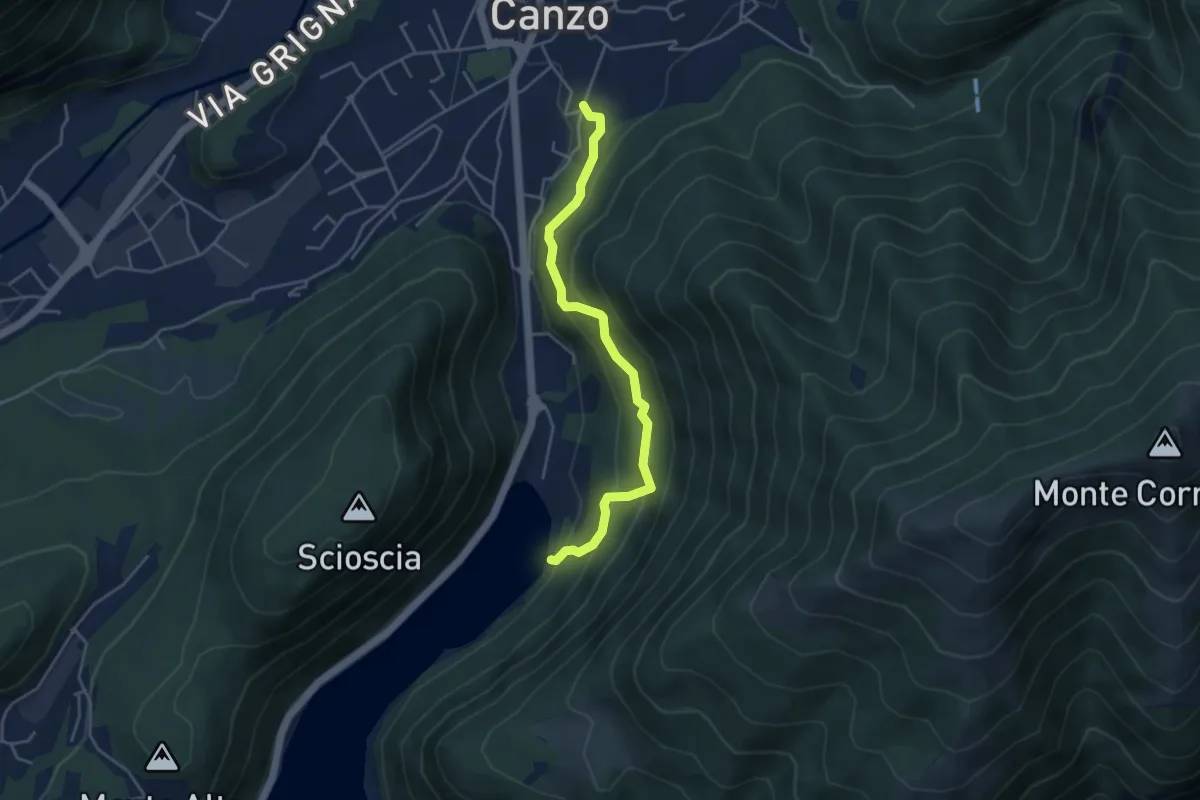
Medium · Trail
Lago del Segrino – Canzo
4.2 km · ↑ 399 m · 1 h 52 min · 7 km away
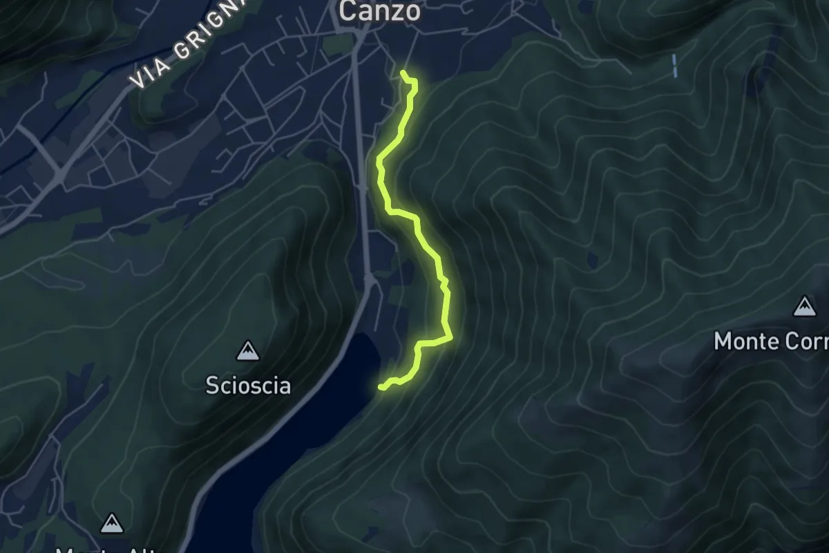
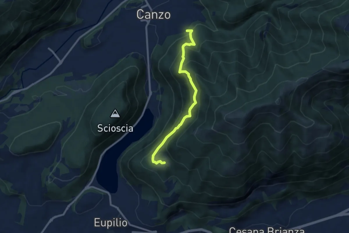
Medium · Trail
Sentiero di Budracch
4.2 km · ↑ 399 m · 1 h 52 min · 7 km away
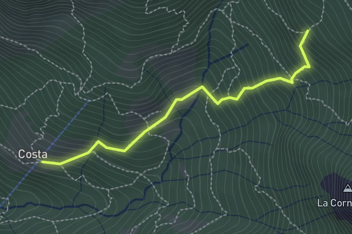
Medium · Trail
Rifugio SEC "Marisa Consigliere" – Alpe di Carella
6.6 km · ↑ 618 m · 2 h 54 min · 7 km away
Medium · Trail
Frazione Costa – Innesto sentiero 901
2.4 km · ↑ 303 m · 1 h 14 min · 7 km away
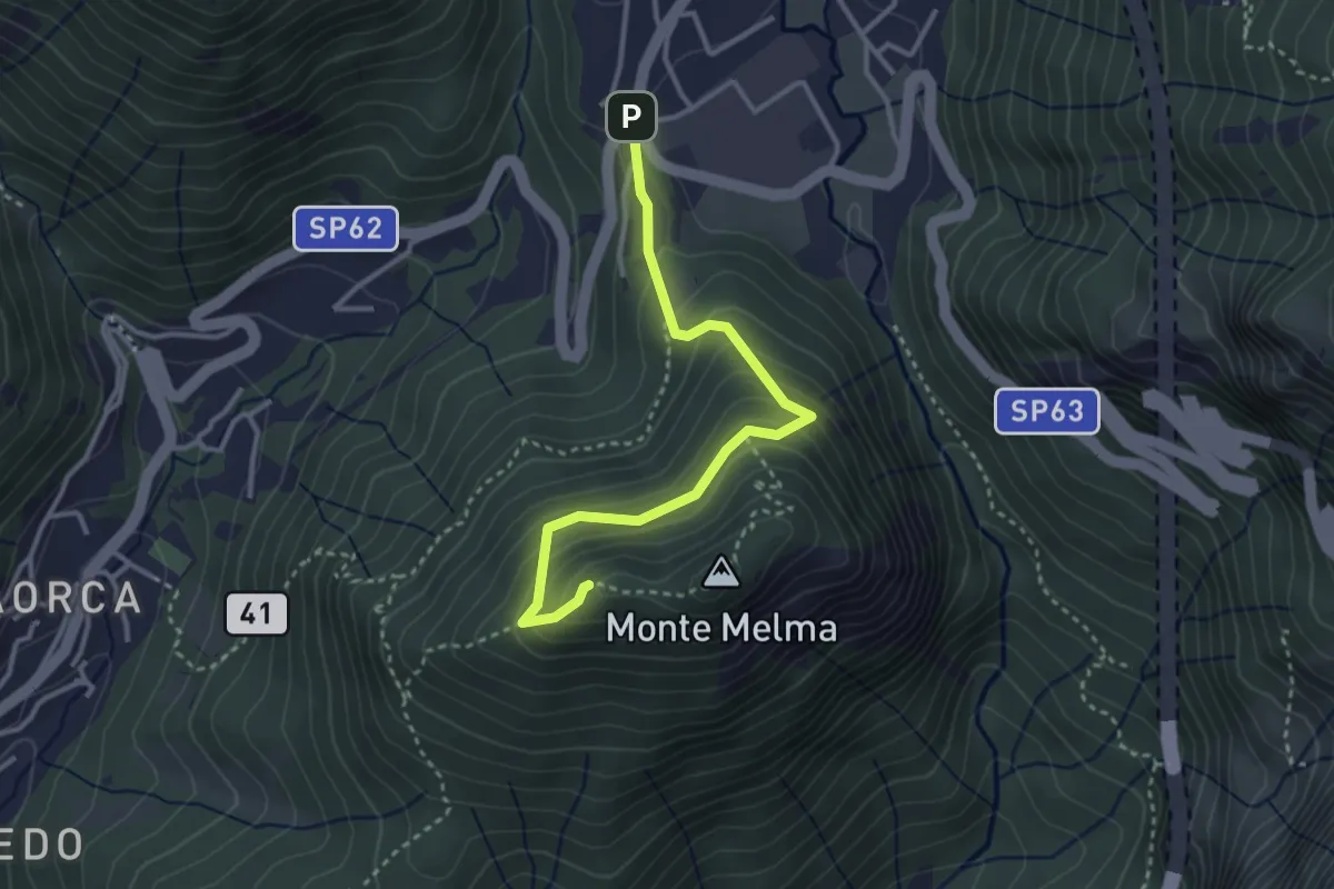
Medium · Summit
Sentiero Casati
3.3 km · ↑ 305 m · 1 h 27 min · 7 km away
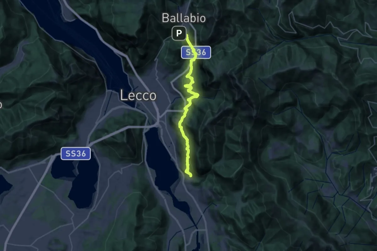
Medium · Trail
Sentiero Rotary
12.6 km · ↑ 429 m · 4 h 15 min · 7 km away
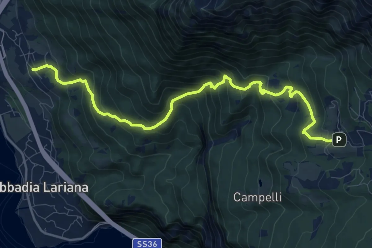
Demanding · Trail
Crebbio – Piani Resinelli
11.0 km · ↑ 883 m · 4 h 31 min · 7 km away
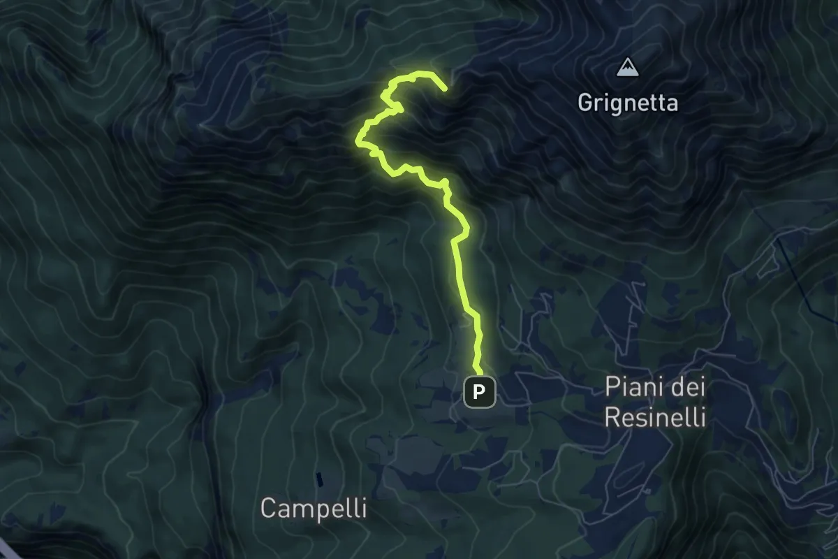
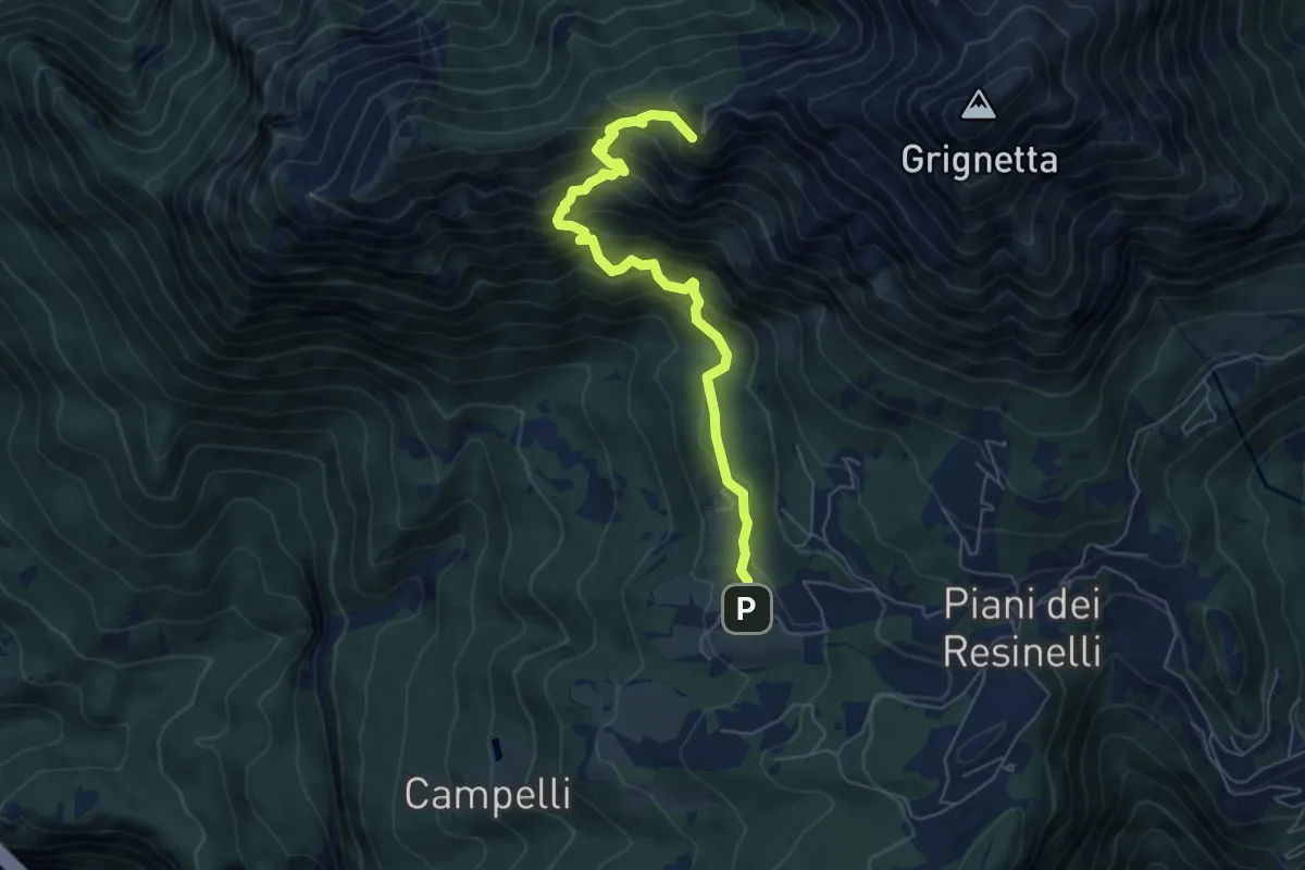
Demanding · Summit
Sentiero delle Foppe
6.2 km · ↑ 701 m · 2 h 59 min · 7 km away
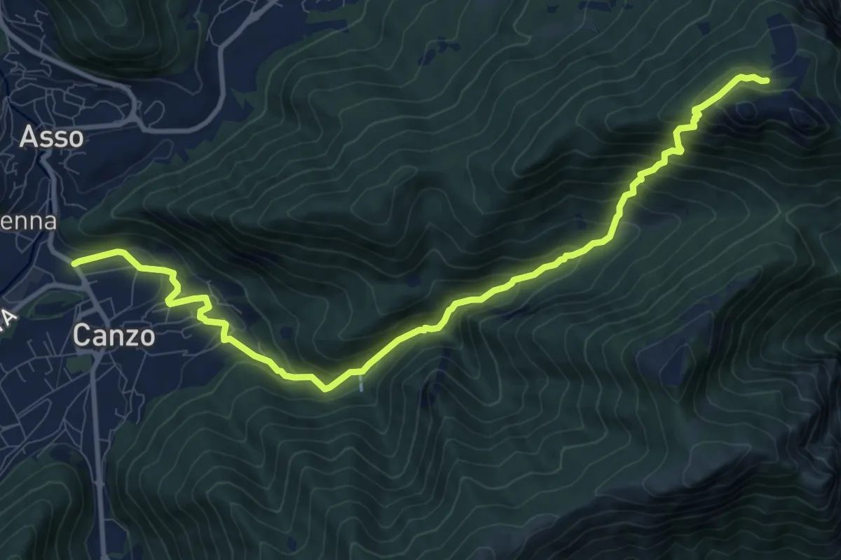
Demanding · Summit
Sentiero delle Foppe 2
6.2 km · ↑ 697 m · 2 h 59 min · 7 km away
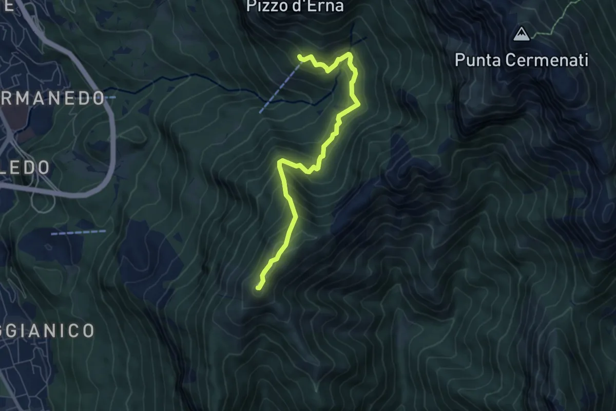
Demanding · Cabin
Stazione Canzo-Asso – Rifugio SEC "Marisa Consigliere"
11.9 km · ↑ 910 m · 4 h 46 min · 7 km away
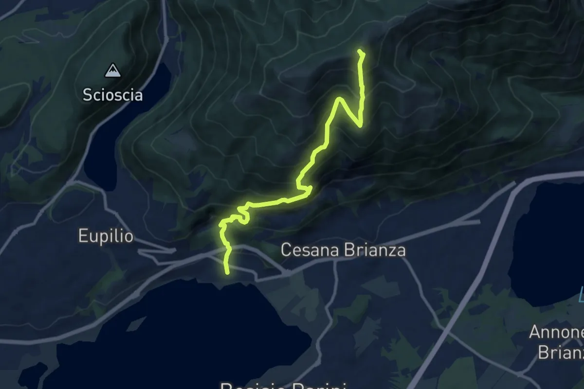
Demanding · Summit
Rifugio Stoppani – Monte Magnodeno
6.5 km · ↑ 557 m · 2 h 45 min · 7 km away
Demanding · Summit
Pusiano – Monte Cornizzolo
9.6 km · ↑ 1053 m · 4 h 32 min · 7 km away
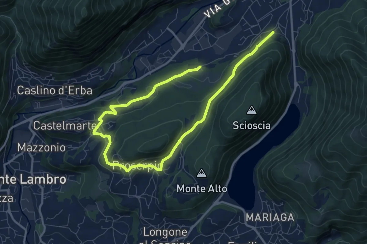
Medium · Trail
Canzo – C.na Emilia (Castelmarte)
12.0 km · ↑ 306 m · 3 h 30 min · 7 km away
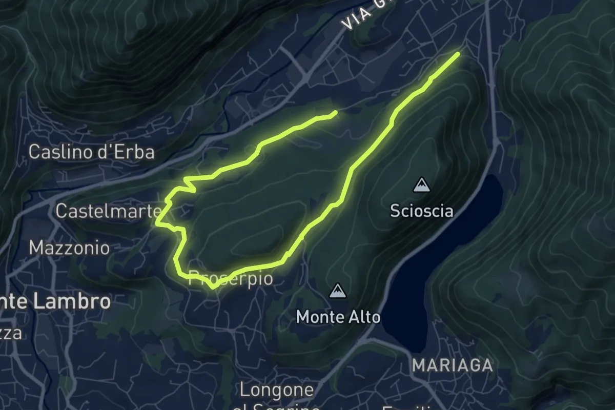
Medium · Trail
Canzo – C.na Emilia (Castelmarte)
11.8 km · ↑ 289 m · 3 h 24 min · 7 km away
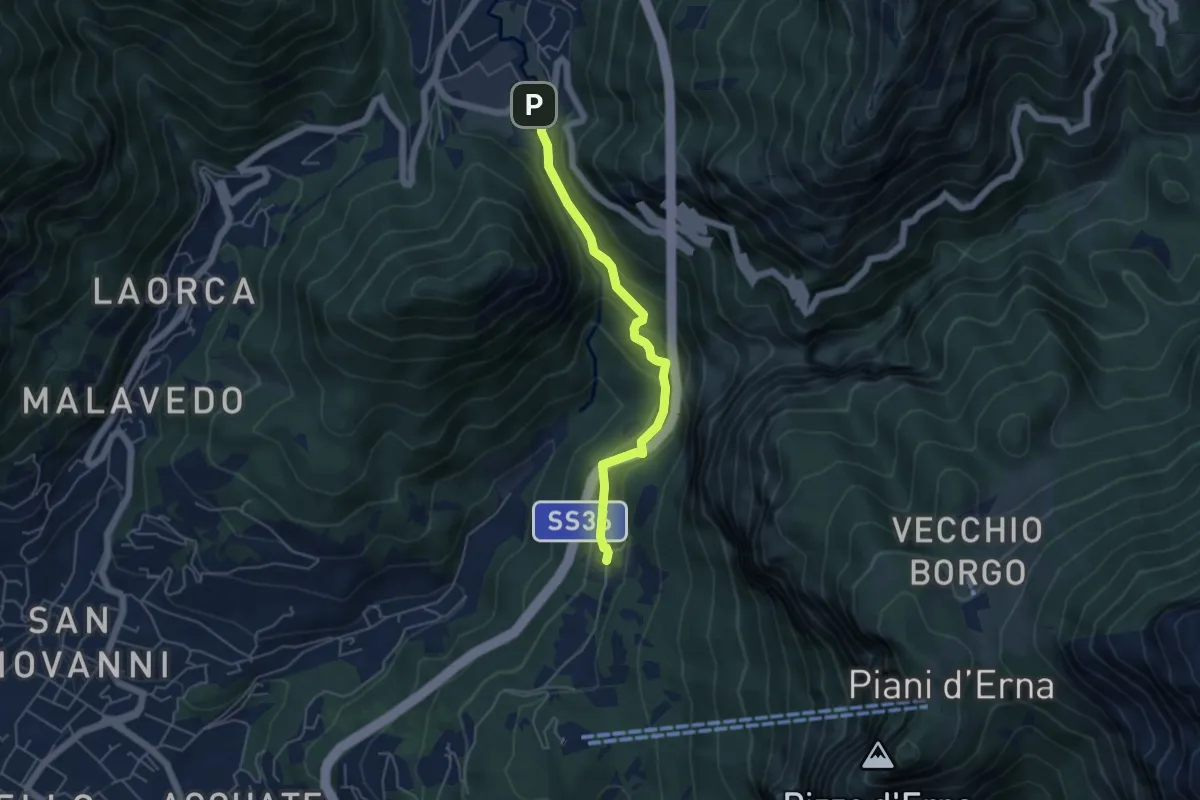
Medium · Trail
Sentiero Passo del Lupo
4.7 km · ↑ 225 m · 1 h 35 min · 7 km away
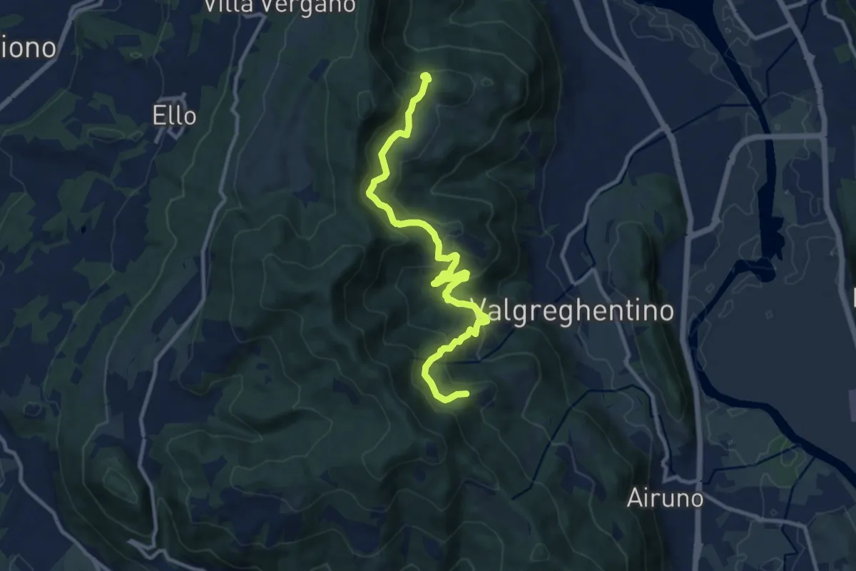
Medium · Trail
Campiano – Consonno
11.0 km · ↑ 534 m · 3 h 45 min · 7 km away
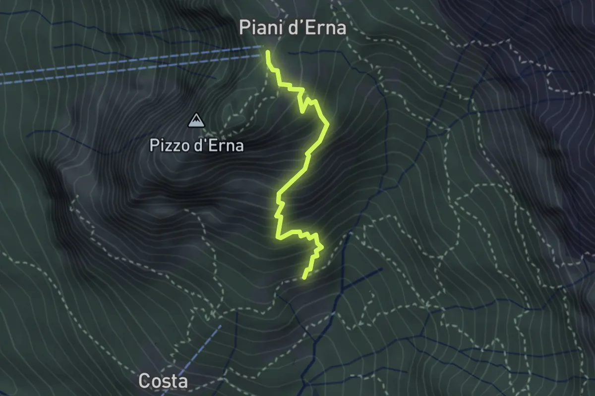
Medium · Trail
Sentiero della Sponda
2.4 km · ↑ 361 m · 1 h 21 min · 7 km away
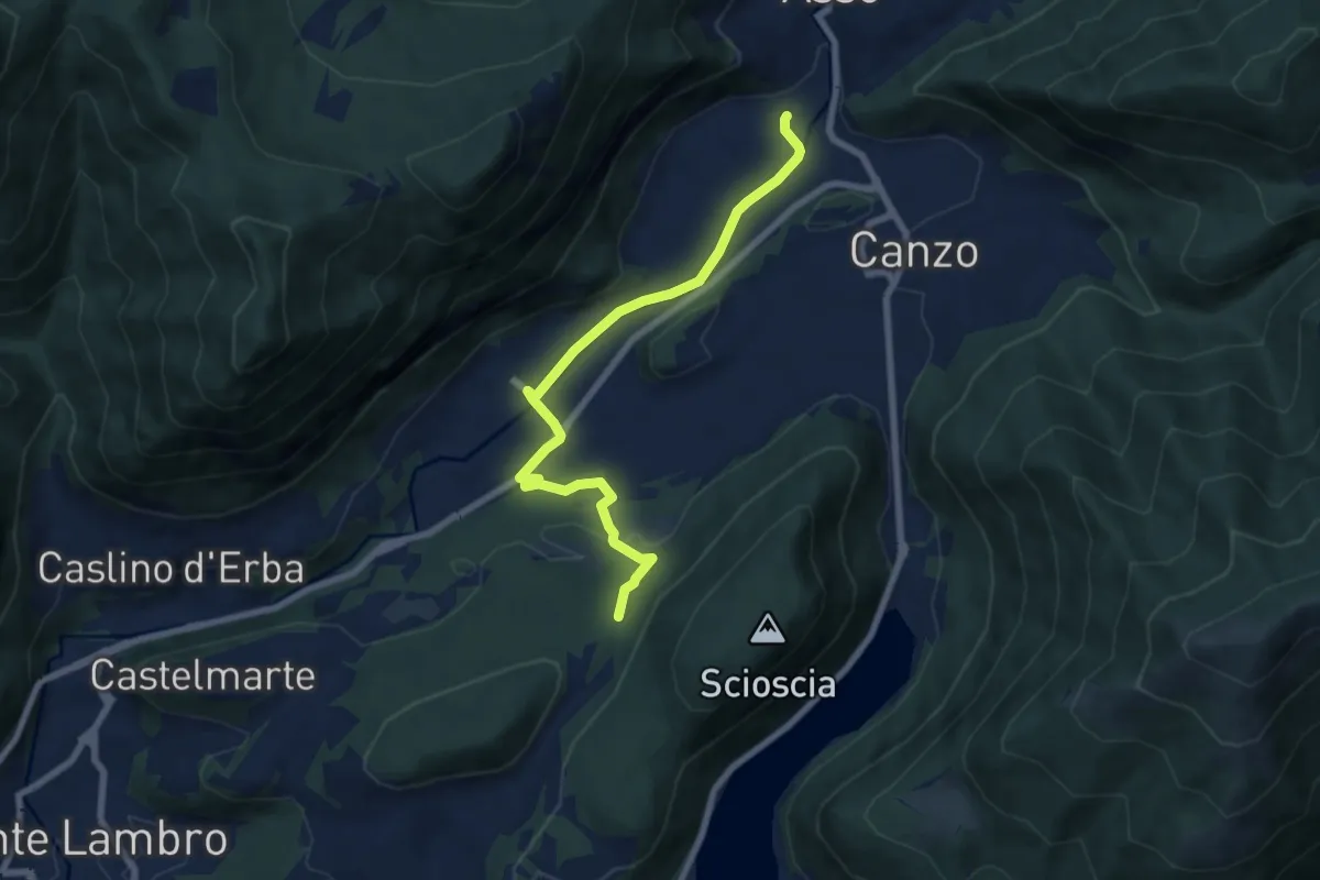
Easy · Trail
Scarenna (Asso) – Bosco della Gualdera
7.6 km · ↑ 145 m · 2 h 7 min · 7 km away
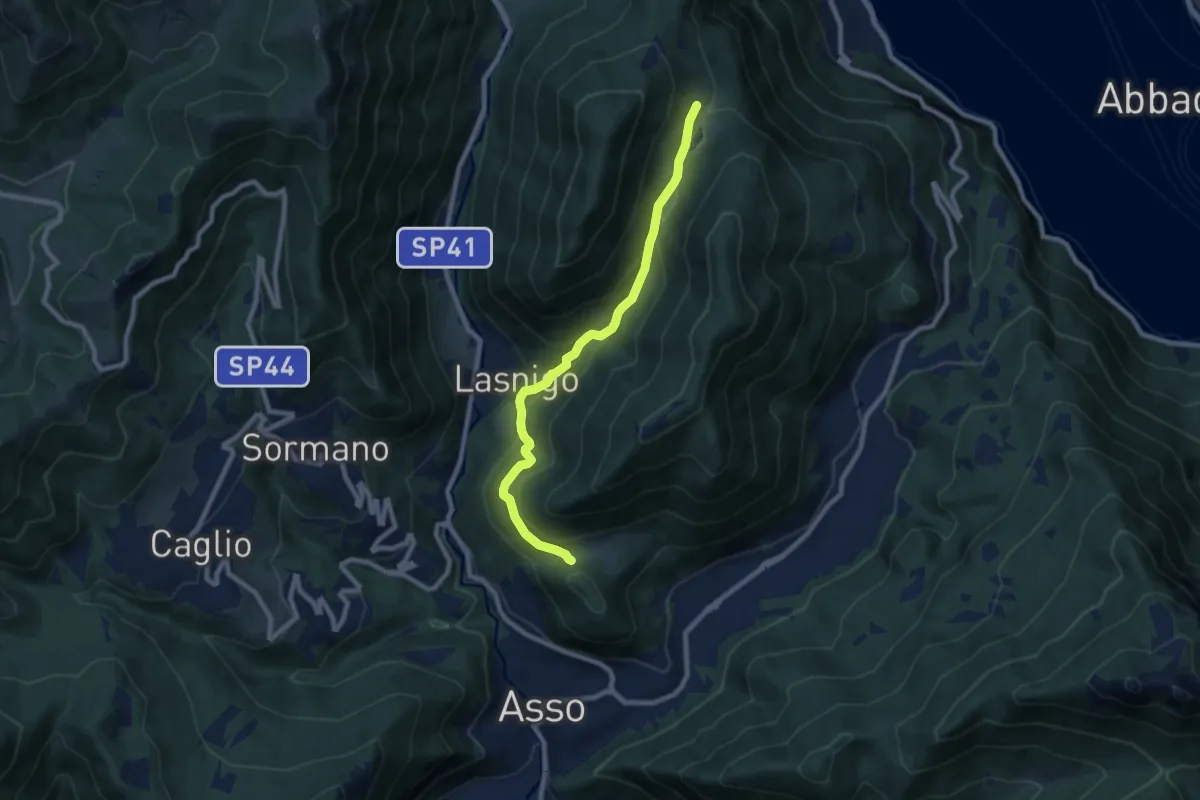
Medium · Trail
Piana di Crezzo – Alpe Megna
8.3 km · ↑ 390 m · 2 h 48 min · 7 km away
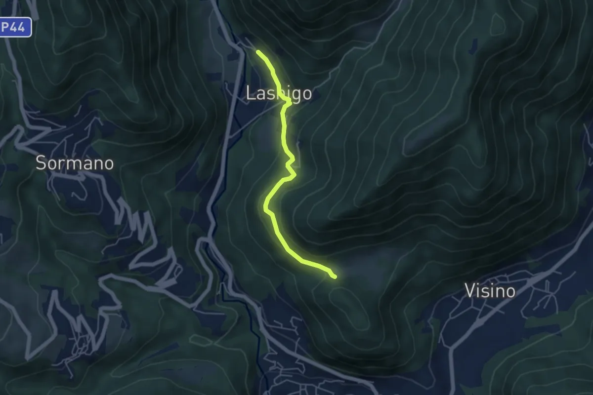
Easy · Trail
Lasnigo – Alpe Megna
4.1 km · ↑ 149 m · 1 h 18 min · 7 km away
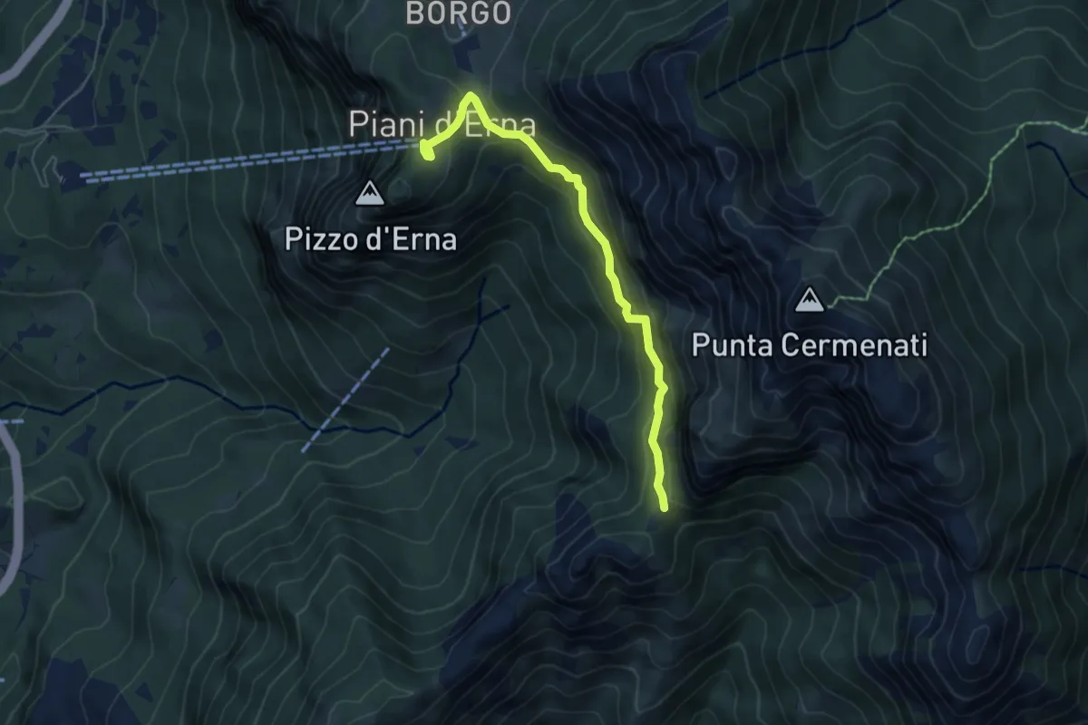
Demanding · Cabin
Piani d'Erna – Capanna Ghislandi
5.3 km · ↑ 350 m · 2 h · 7 km away
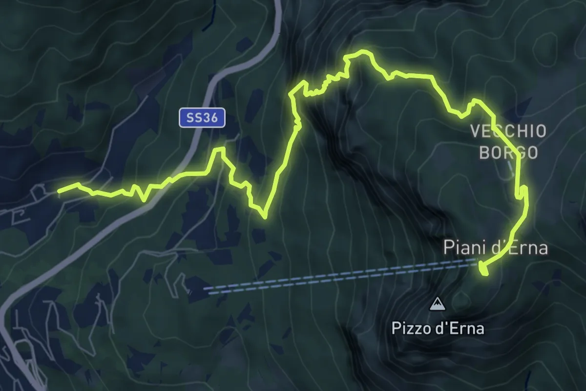
Demanding · Trail
Sentiero del Passo del Cammello
10.6 km · ↑ 1107 m · 4 h 54 min · 7 km away
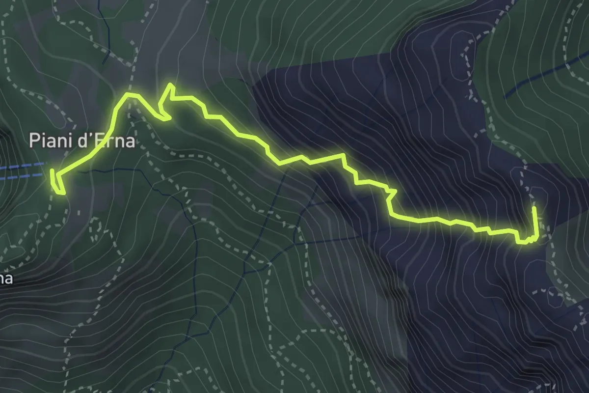
Expert · Summit
Sentiero Carlo Villa
4.1 km · ↑ 544 m · 2 h 9 min · 7 km away
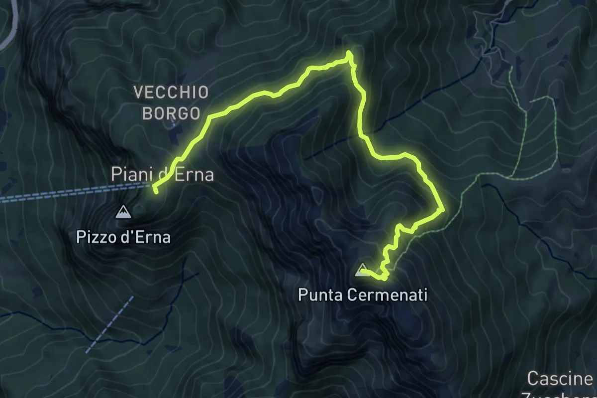
Demanding · Summit
Piani d'Erna – Rif. Azzoni
10.0 km · ↑ 884 m · 4 h 16 min · 7 km away
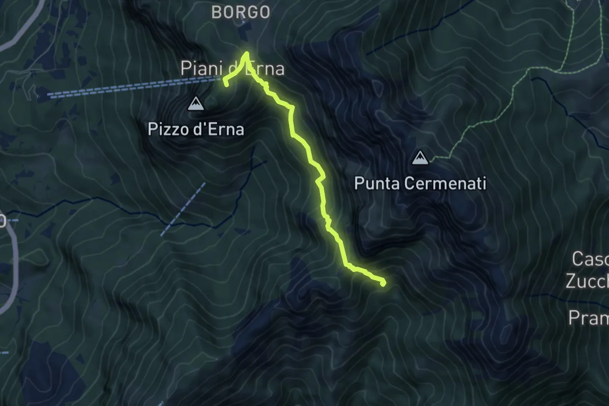
Medium · Cabin
Capanna Alpinisti Monzesi – Piani d'Erna
6.0 km · ↑ 566 m · 2 h 38 min · 7 km away
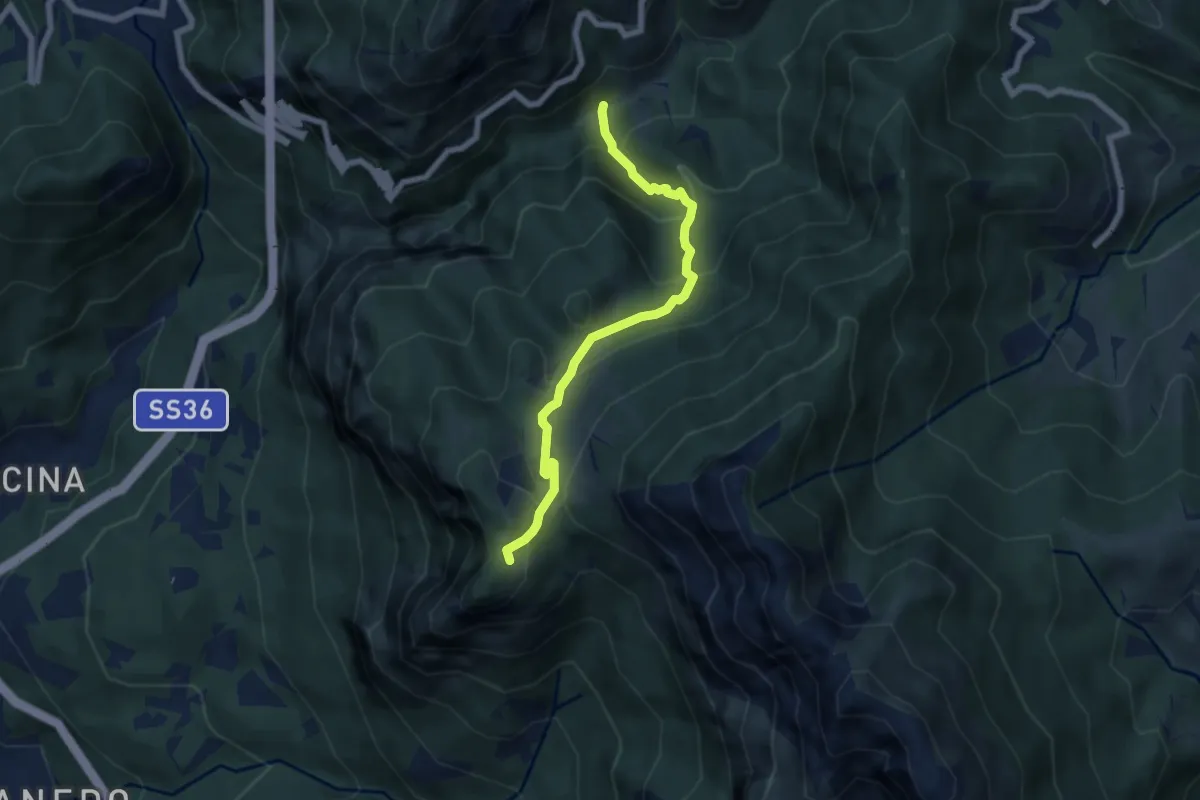
Medium · Trail
Boazzo, percorso 922 – Piani d'Erna, arrivo Funivia
6.2 km · ↑ 477 m · 2 h 29 min · 7 km away
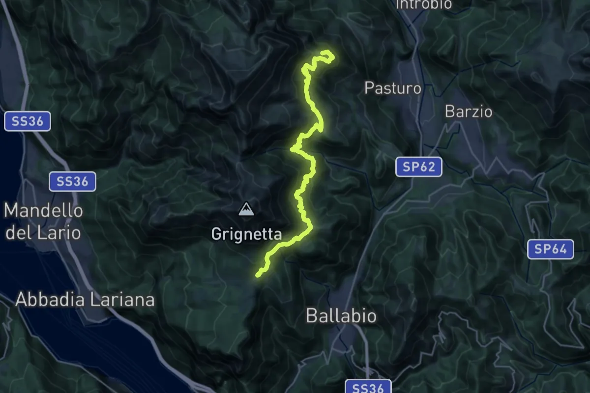
Demanding · Summit
Traversata Bassa delle Grigne
21.3 km · ↑ 1565 m · 8 h 25 min · 7 km away
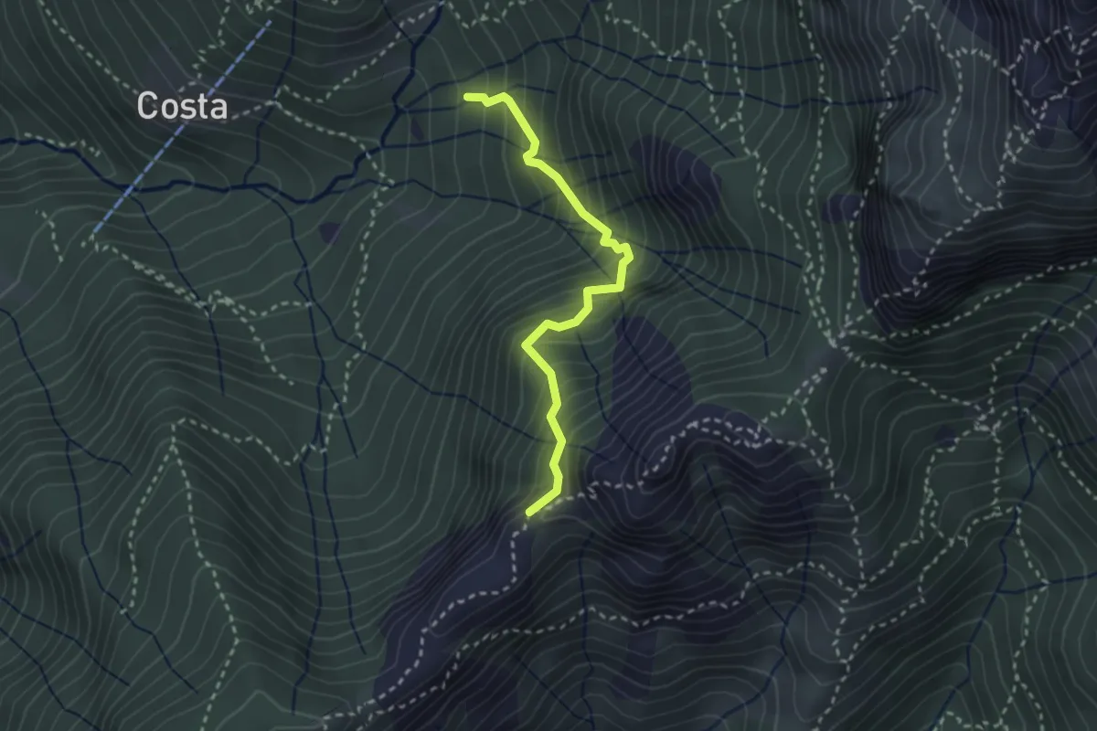
Demanding · Trail
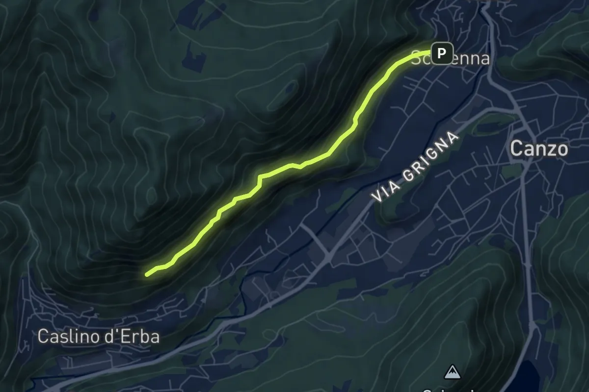
Sentiero della Guardia
2.7 km · ↑ 404 m · 1 h 30 min · 7 km away
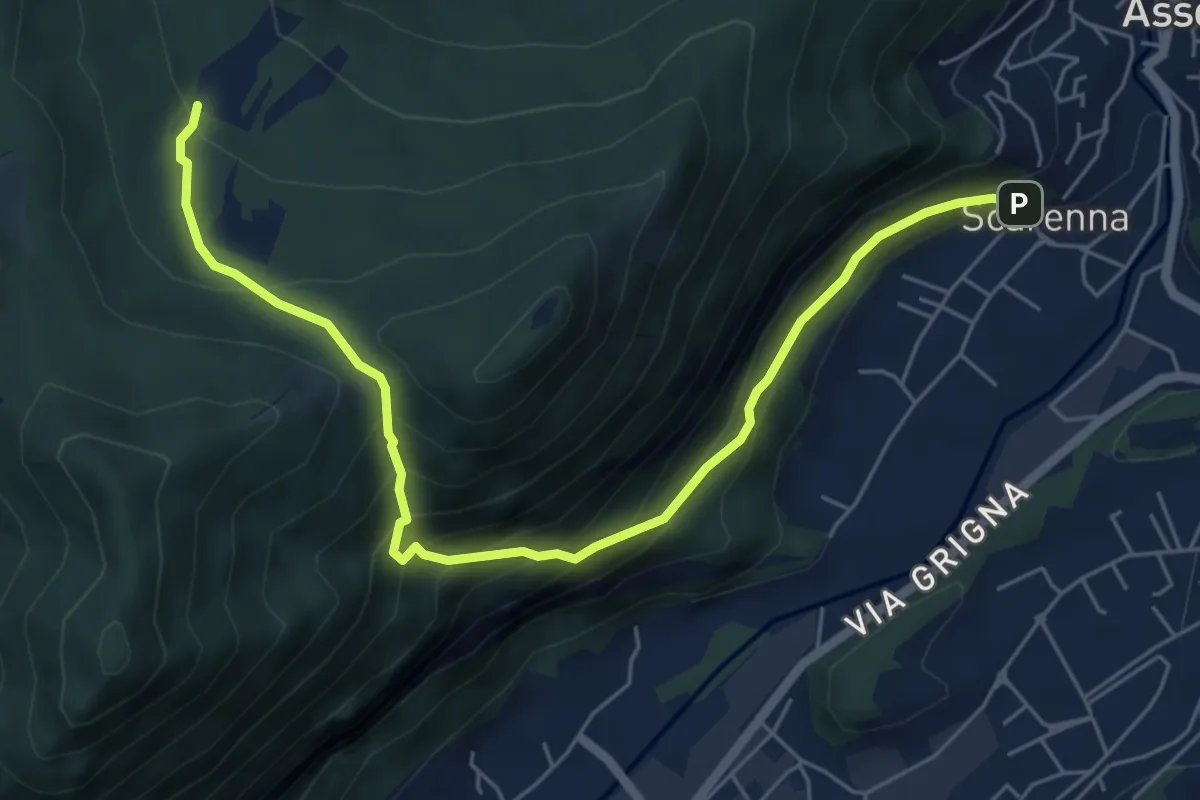
Demanding · Trail
Scarenna – Sentiero Falghèe
6.0 km · ↑ 565 m · 2 h 39 min · 7 km away
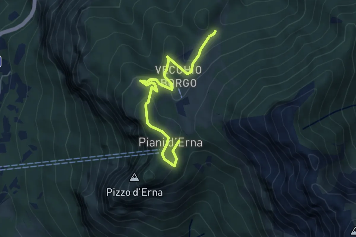
Demanding · Trail
Scarenna – Enco
6.7 km · ↑ 629 m · 2 h 57 min · 7 km away
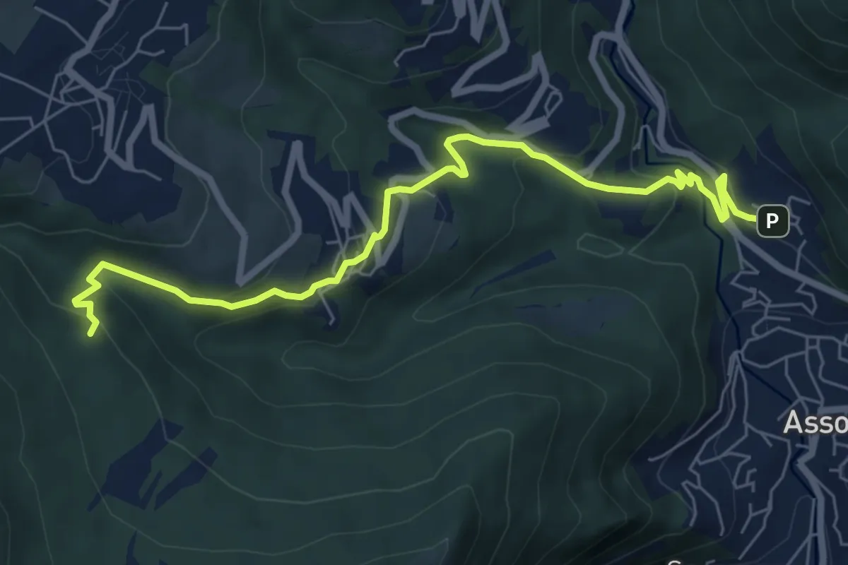
Easy · Trail
Sentiero Natura
5.3 km · ↑ 246 m · 1 h 47 min · 7 km away
Medium · Trail
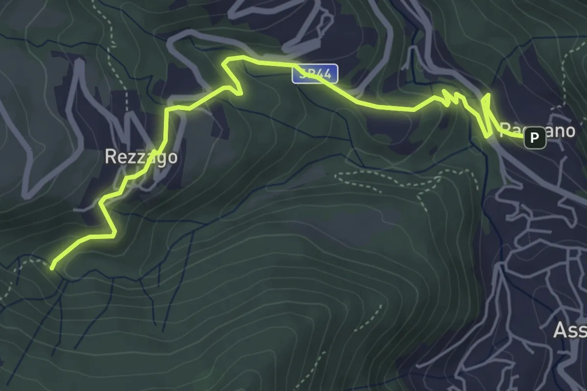
Pagnano – C.na Braga (Rezzago)
7.3 km · ↑ 340 m · 2 h 27 min · 7 km away
Easy · Trail
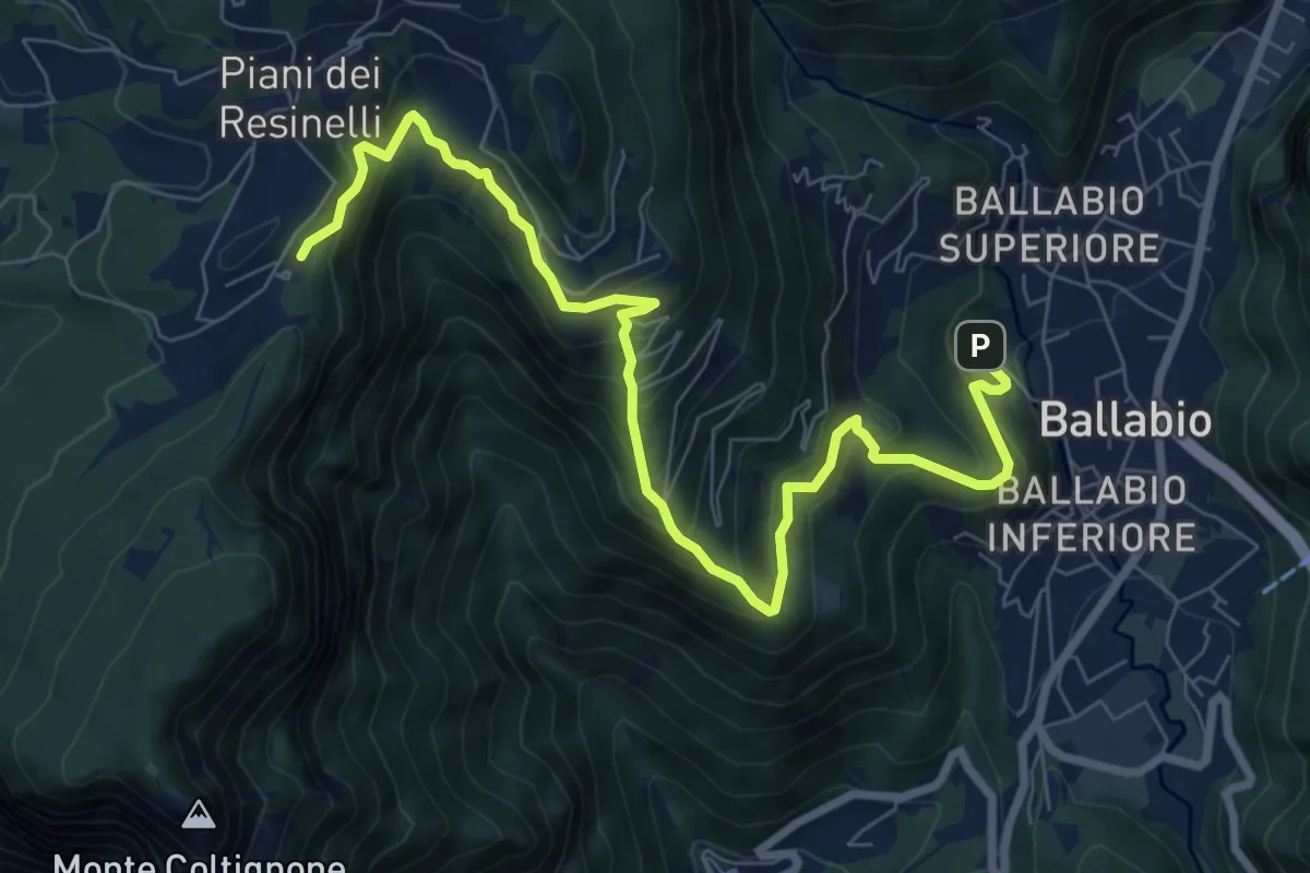
Pagnano – Madonna dei Morti
5.7 km · ↑ 281 m · 1 h 58 min · 7 km away
Medium · Cabin
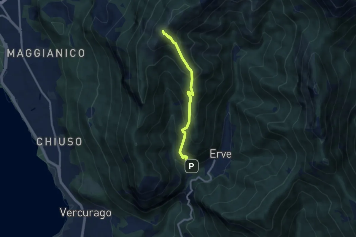
Ballabio – Rifugio Rocca Locatelli
9.3 km · ↑ 653 m · 3 h 37 min · 7 km away
Medium · Summit
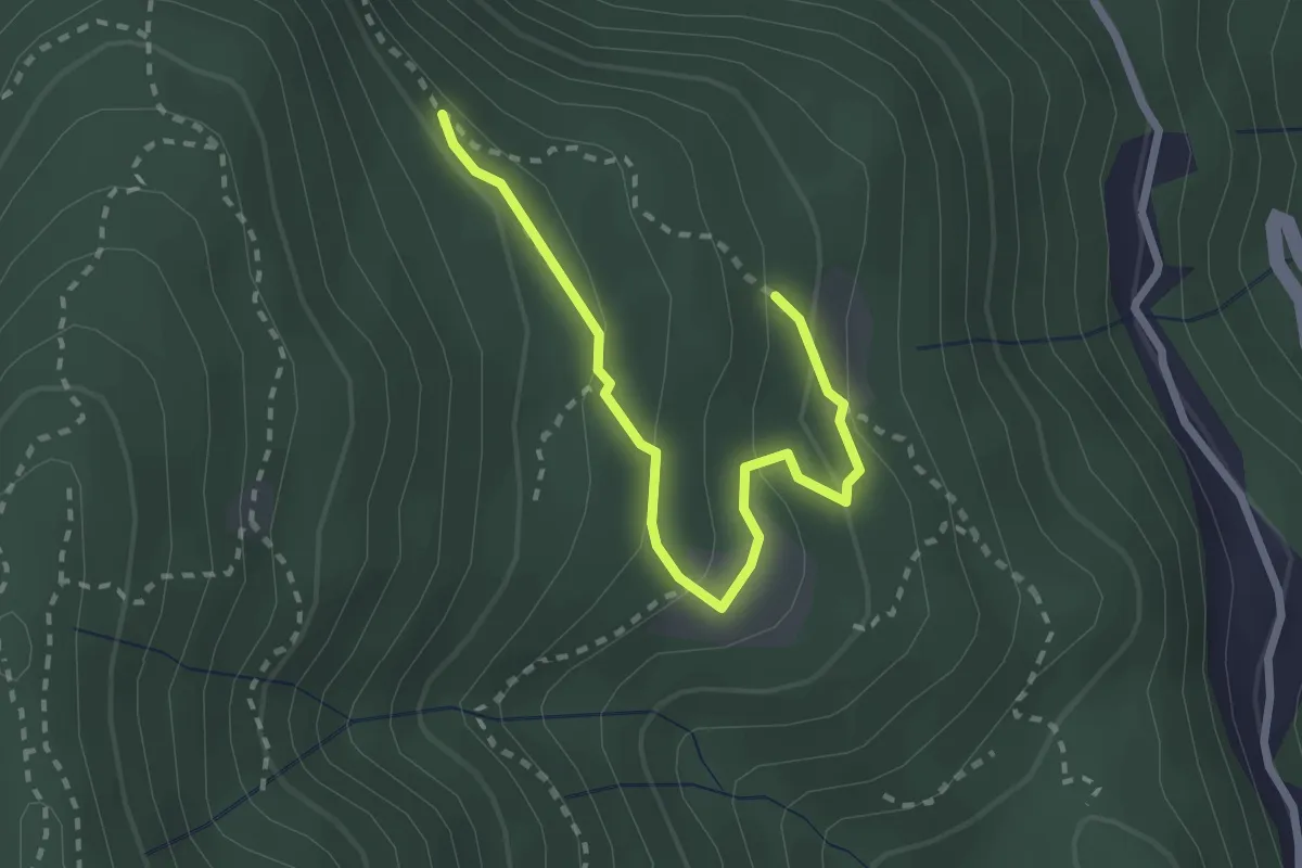
Erve – Monte Magnodeno
5.6 km · ↑ 626 m · 2 h 41 min · 7 km away
Easy · Trail
Alpe di Prezzapino – Alpe di Monte
2.7 km · ↑ 133 m · 55 min · 8 km away
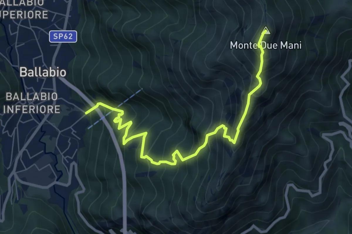
Demanding · Summit
Ballabio Inferiore (Ca' Formai) – Monte Due Mani
7.7 km · ↑ 970 m · 3 h 56 min · 8 km away
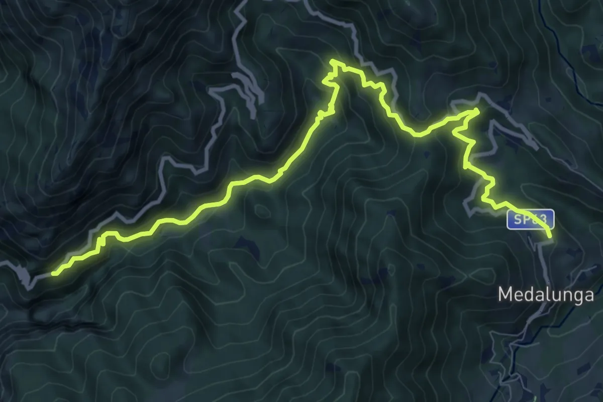
Demanding · Trail
Antica Strada Comunale di Morterone
11.9 km · ↑ 805 m · 4 h 33 min · 8 km away
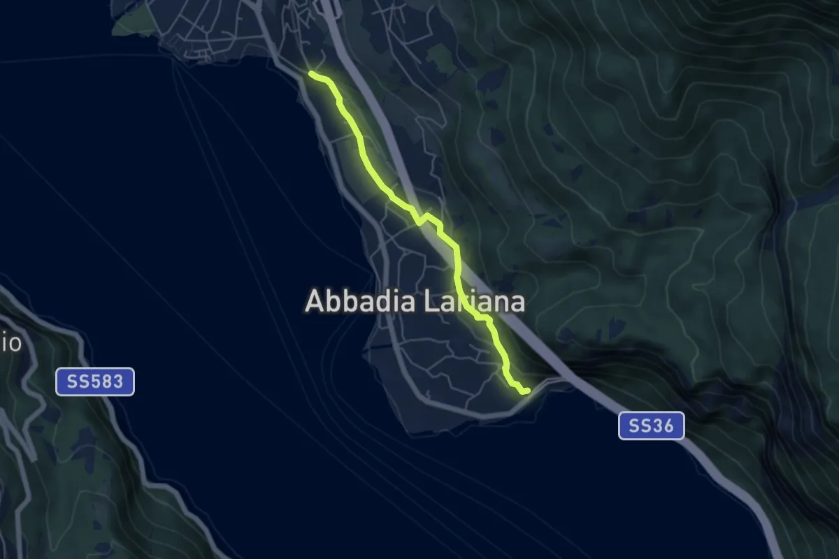
Easy · Trail
Sentiero del Viandante (Abbadia Lariana - Mandello del Lario)
4.6 km · ↑ 124 m · 1 h 22 min · 8 km away
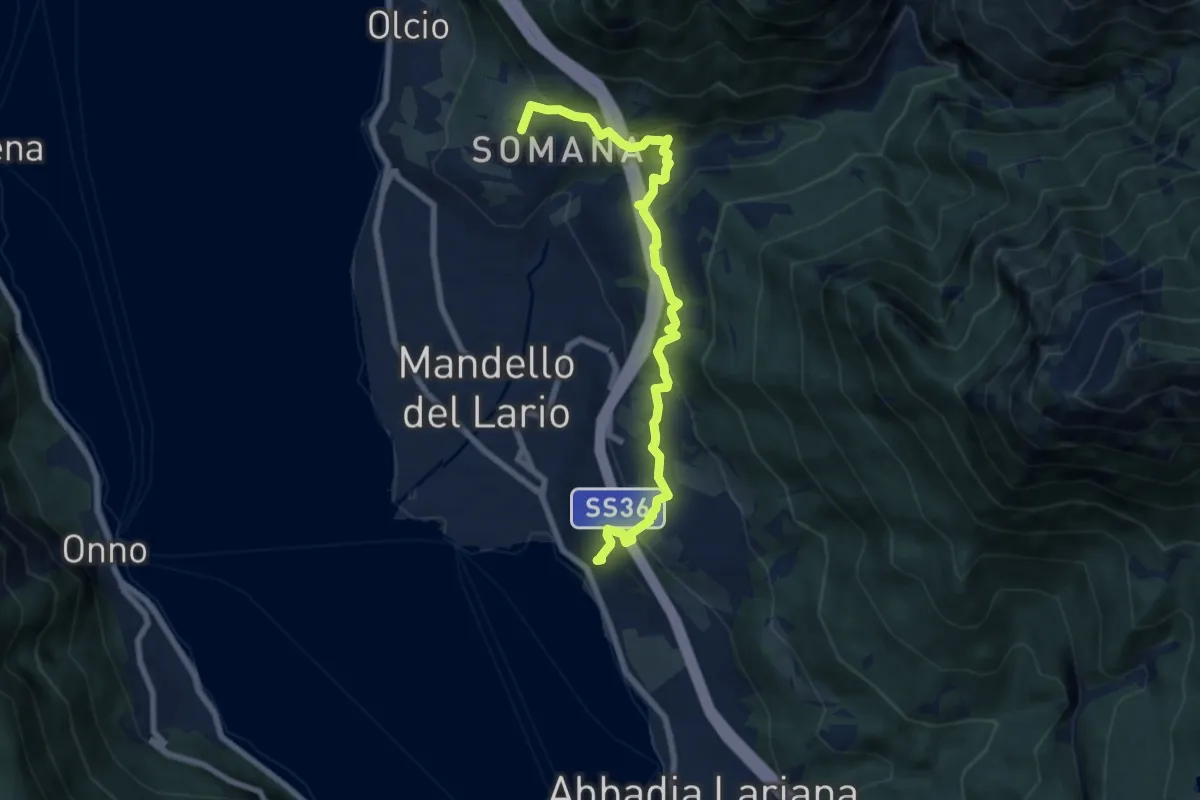
Medium · Summit
Sentiero del Viandante (Mandello del Lario - Lierna)
8.0 km · ↑ 430 m · 2 h 50 min · 8 km away