Trails near Valmadrera
362 hikes starting within 15 km, nearest first.
Nearest first, page 4 of 8
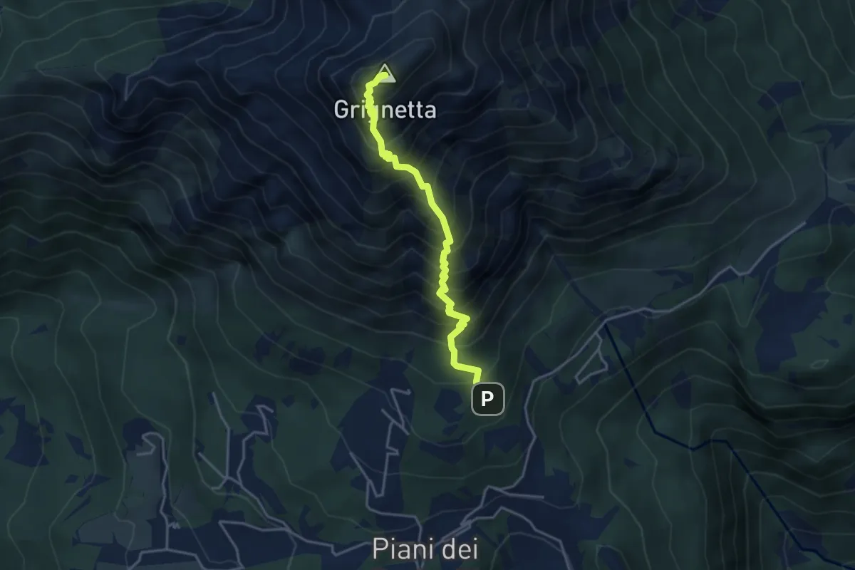
Demanding · Summit
Sentiero Cermenati
3.7 km · ↑ 670 m · 2 h 20 min · 8 km away
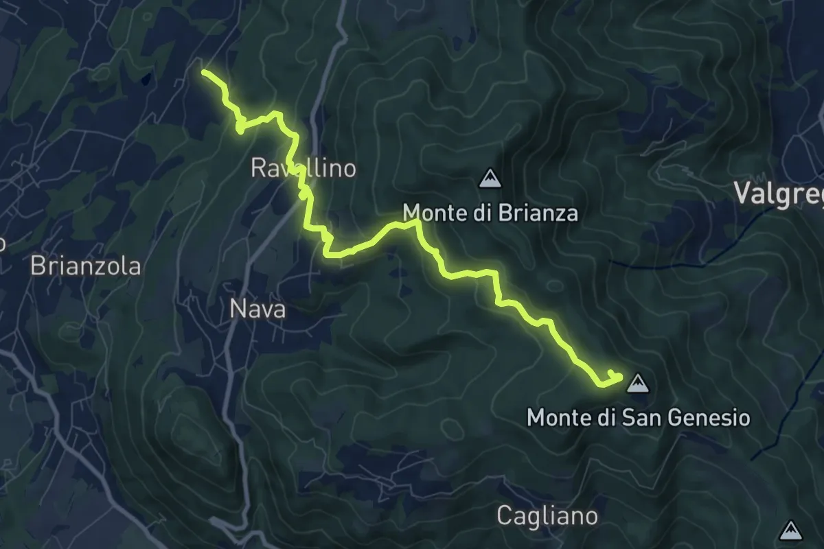
Medium · Summit
Marconaga – Monte di San Genesio
9.9 km · ↑ 516 m · 3 h 28 min · 8 km away
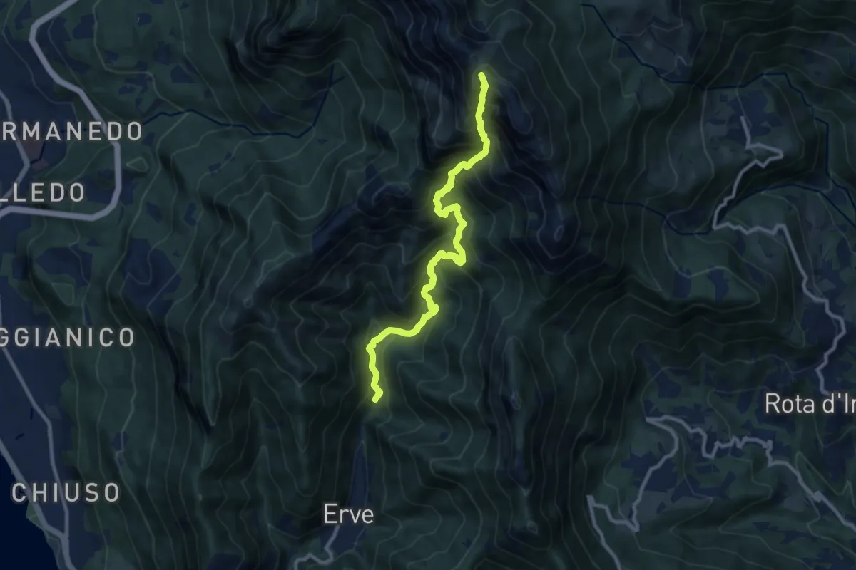
Expert · Summit
Erve – Rifugio Azzoni
9.6 km · ↑ 1242 m · 4 h 57 min · 8 km away
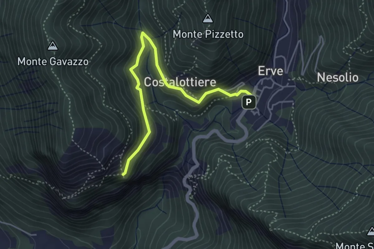
Easy · Trail
Erve – Croce di Vicerola
4.2 km · ↑ 219 m · 1 h 28 min · 8 km away
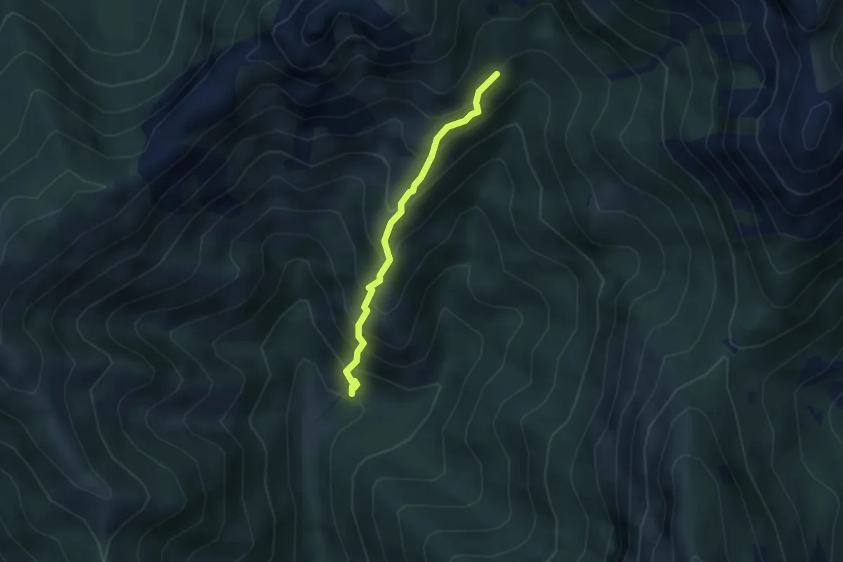
Demanding · Trail
Sentiero 803 – Sentiero 803
2.7 km · ↑ 404 m · 1 h 31 min · 8 km away
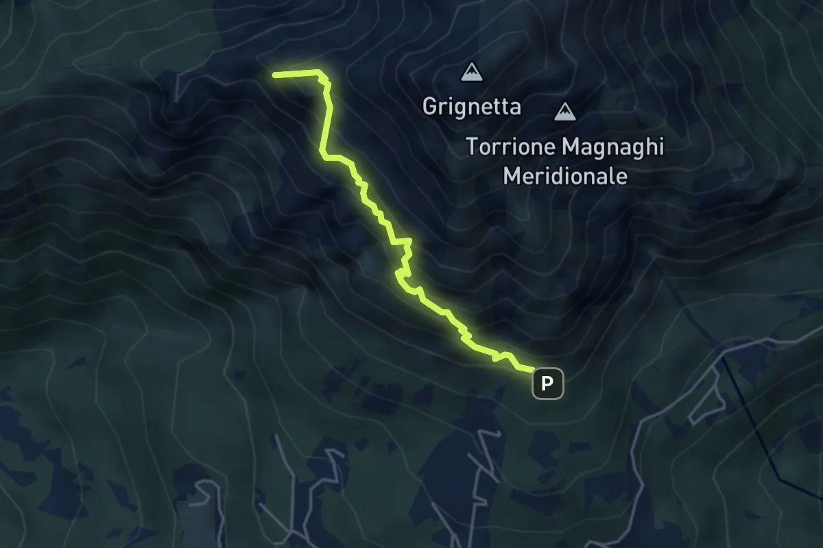
Expert · Summit
Direttissima
3.9 km · ↑ 621 m · 2 h 16 min · 8 km away
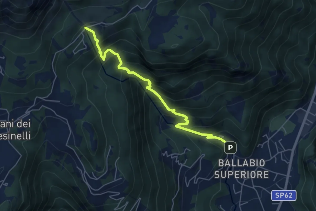
Medium · Trail
Sentiero 50: Ballabio - Piani Resinelli
5.1 km · ↑ 623 m · 2 h 33 min · 8 km away
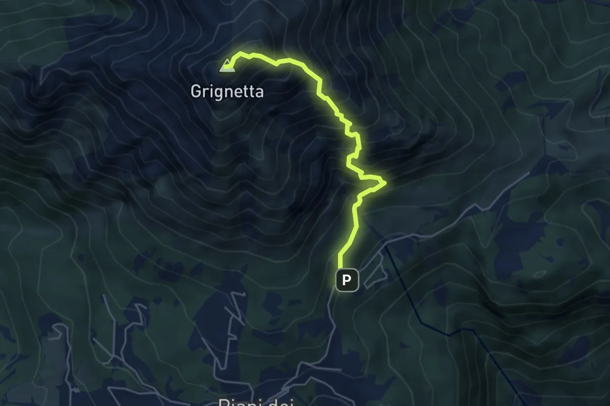
Expert · Summit
Cresta Sinigaglia
4.6 km · ↑ 824 m · 2 h 52 min · 8 km away
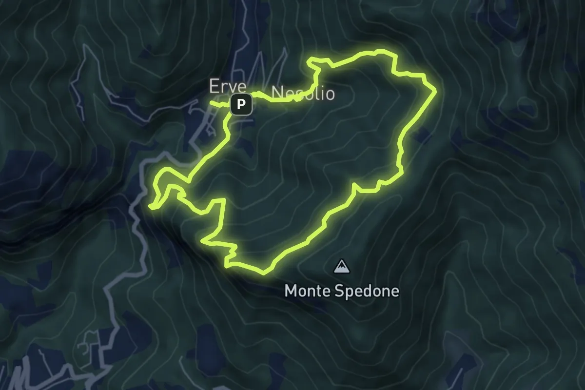
Demanding · Trail
Erve – Erve
6.1 km · ↑ 678 m · 3 h · 8 km away
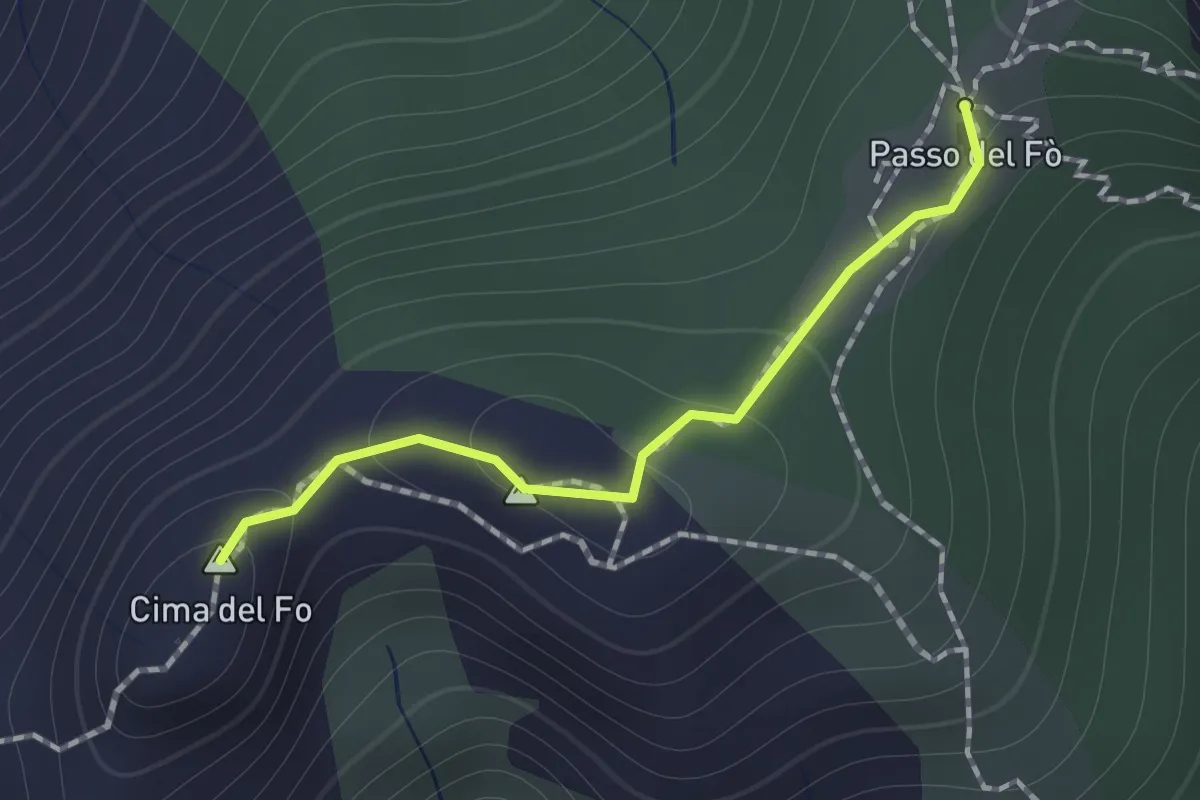
Expert · Summit
Sentiero 928 – Passo del Fo'
1.0 km · ↑ 72 m · 23 min · 8 km away
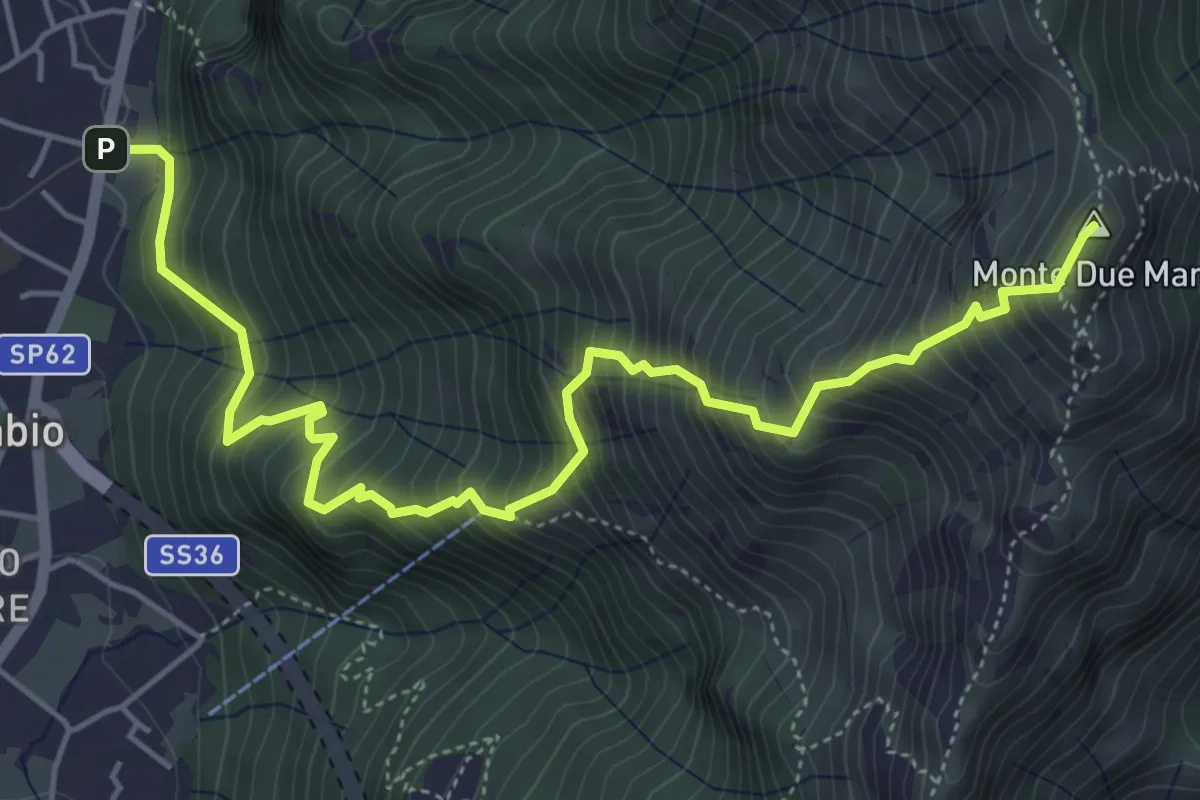
Demanding · Summit
Gera – Monte Due Mani
6.3 km · ↑ 961 m · 3 h 34 min · 8 km away
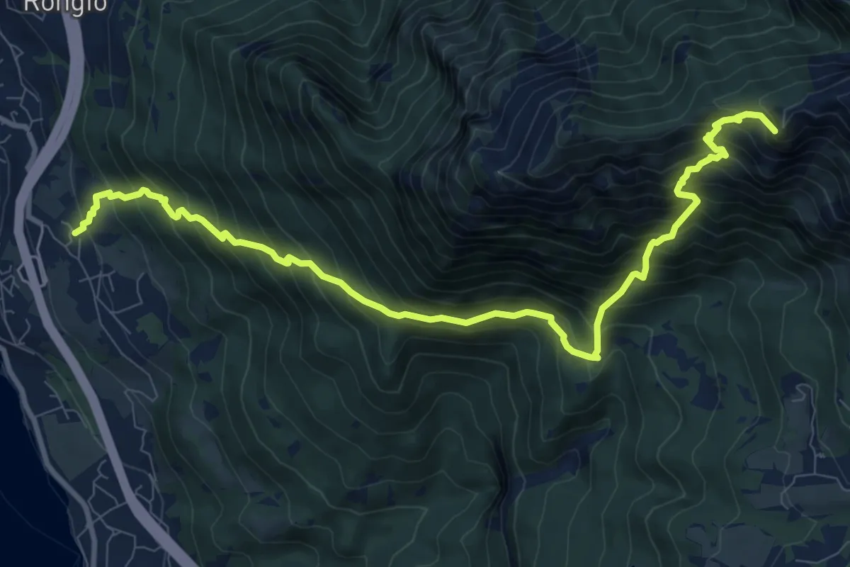
Demanding · Summit
Maggiana or Rongio – Rifugio Rosalba
11.2 km · ↑ 1434 m · 5 h 45 min · 8 km away
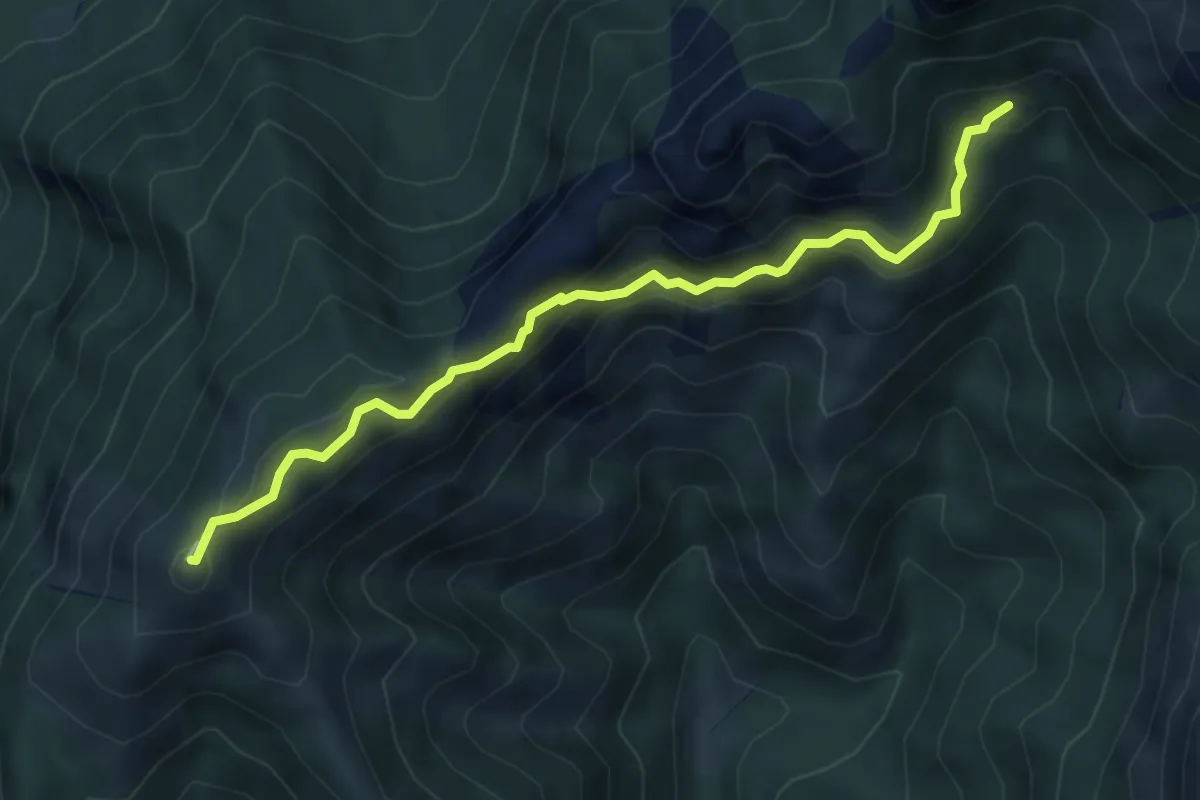
Demanding · Summit
Rif. Alpinisti Monzesi – Monte Magnodeno
5.1 km · ↑ 345 m · 1 h 57 min · 8 km away
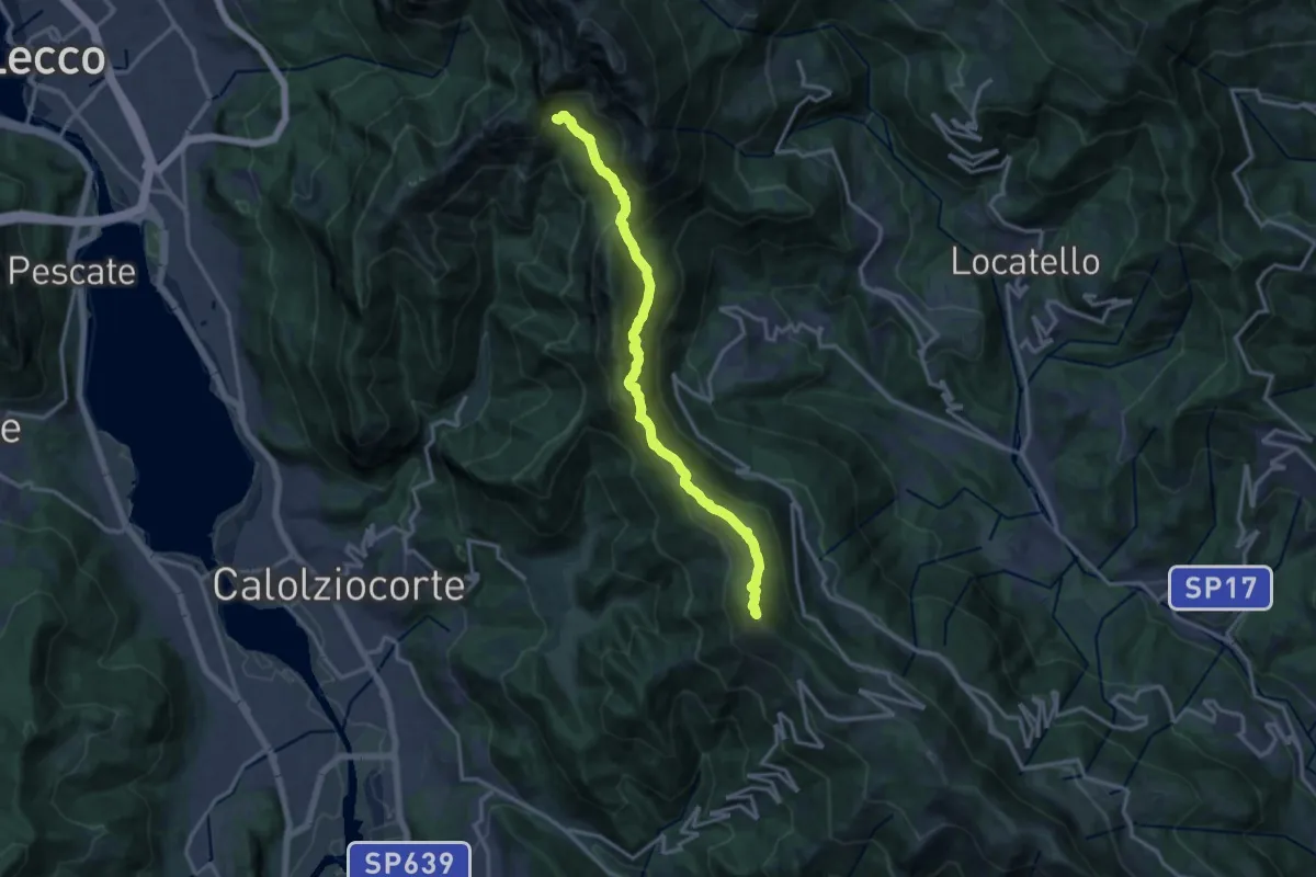
Demanding · Summit
Sentiero del 70° UOEI
14.5 km · ↑ 1044 m · 5 h 41 min · 8 km away
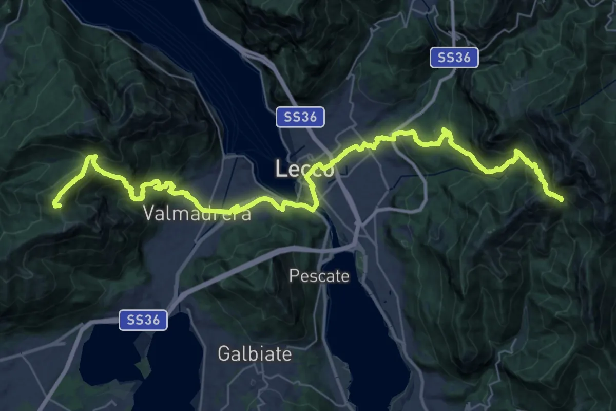
Demanding · Summit
CamminaForeste - Tappa 9C
38.3 km · ↑ 2417 m · 14 h 17 min · 8 km away
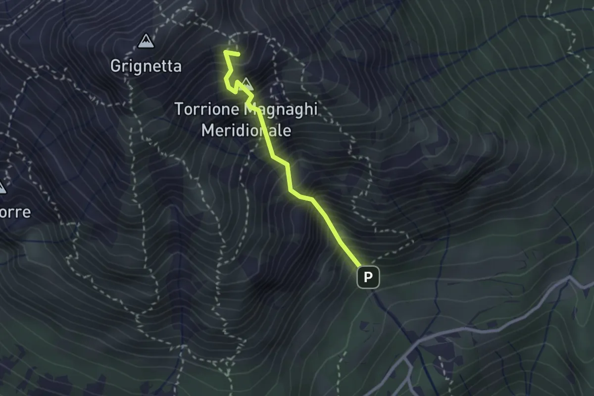
Expert · Summit
Canalone Porta
2.1 km · ↑ 606 m · 1 h 48 min · 8 km away
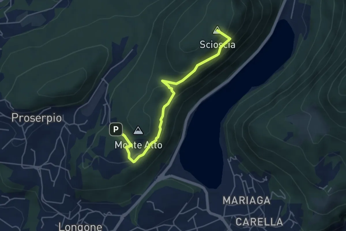
Demanding · Summit
Inarca (Proserpio) – Monte Scioscia
4.3 km · ↑ 243 m · 1 h 33 min · 8 km away
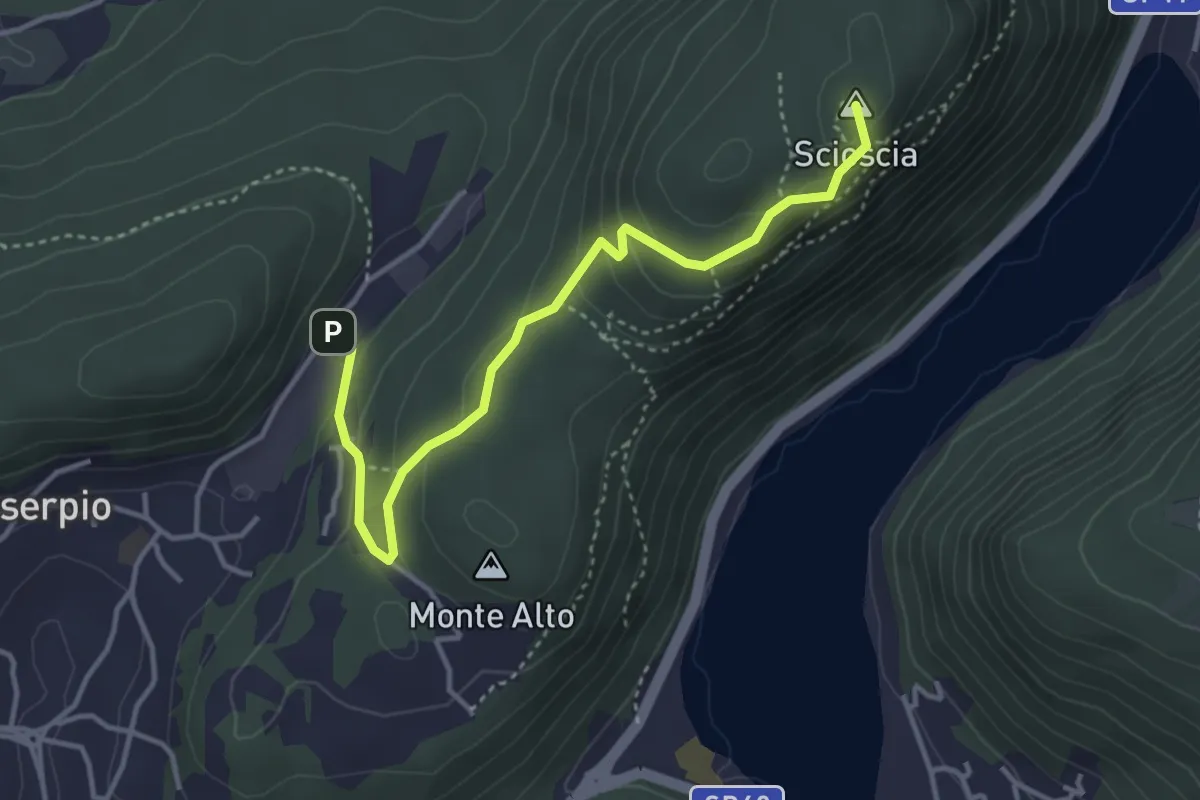
Easy · Summit
Zona industriale di Proseprio – Canzo
4.0 km · ↑ 173 m · 1 h 19 min · 8 km away
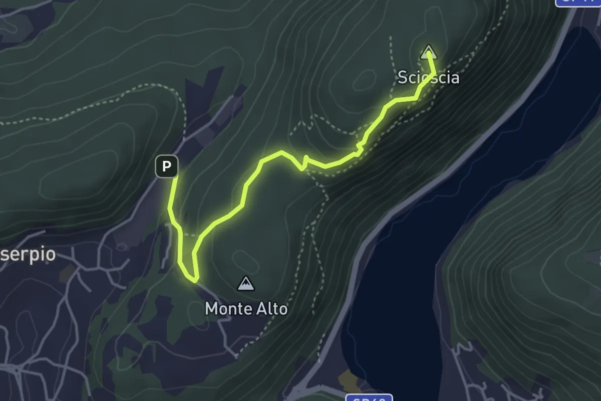
Demanding · Summit
Zona industriale di Proseprio – Canzo
4.1 km · ↑ 185 m · 1 h 21 min · 8 km away
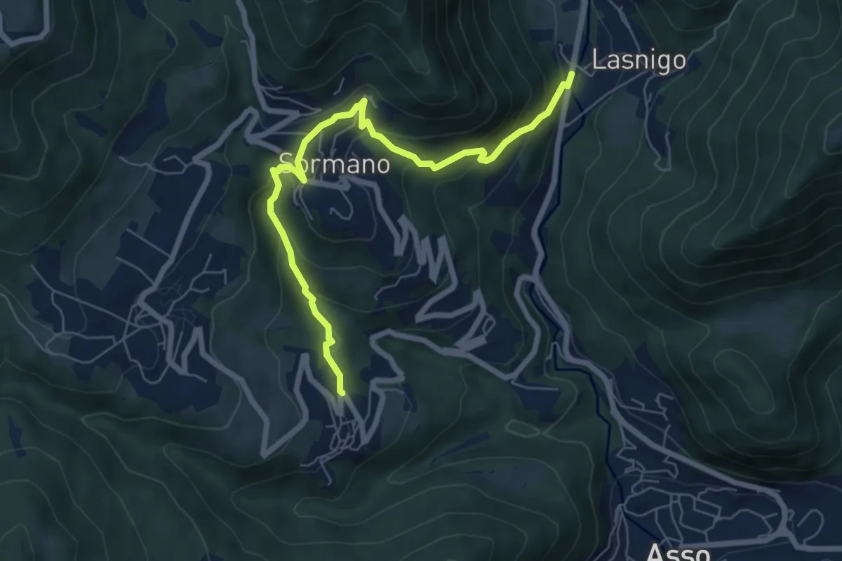
Medium · Trail
Bocchetta di Palanzo – Santi Cosma e Damiano (Rezzago)
6.8 km · ↑ 412 m · 2 h 30 min · 8 km away
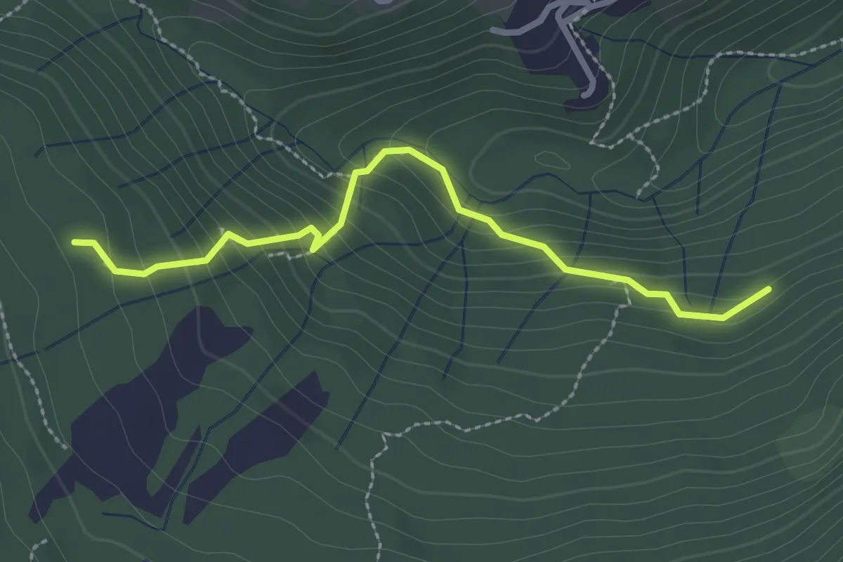
Medium · Trail
Funghi e boschi di Rezzago – Selva di Rezzago
2.6 km · ↑ 216 m · 1 h 5 min · 8 km away
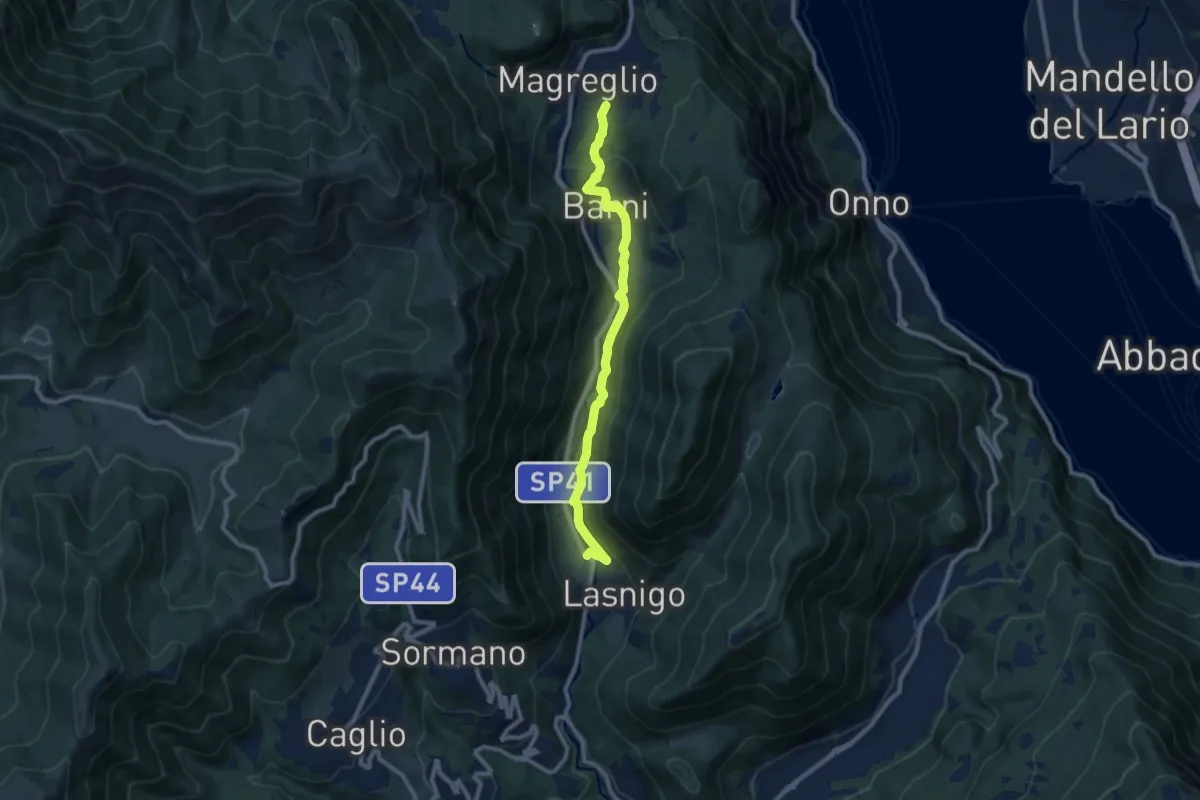
Medium · Trail
Sant'Alessandro (Lasnigo) – Paraguai (Magreglio)
9.3 km · ↑ 302 m · 2 h 51 min · 9 km away
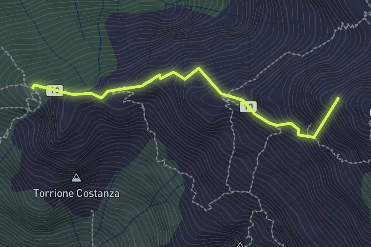
Expert · Summit
Sentiero Cecilia
2.4 km · ↑ 349 m · 1 h 19 min · 9 km away
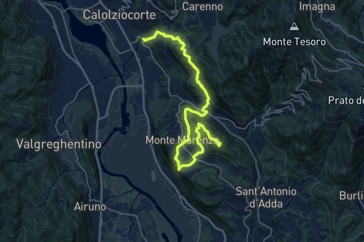
Demanding · Summit
Ponte Serta (Calolziocorte) – Ponte Contrada (Torre de' Busi)
18.8 km · ↑ 982 m · 6 h 34 min · 9 km away
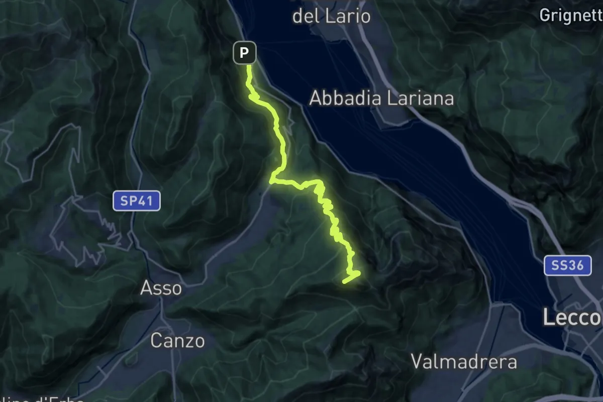
Demanding · Summit
Lago del Segrino – Onno (Oliveto Lario)
19.3 km · ↑ 1178 m · 7 h 7 min · 9 km away
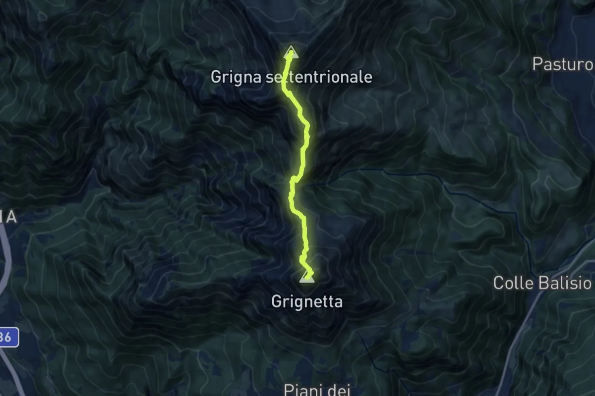
Expert · Summit
Traversata Alta delle Grigne
9.0 km · ↑ 1038 m · 4 h 22 min · 9 km away
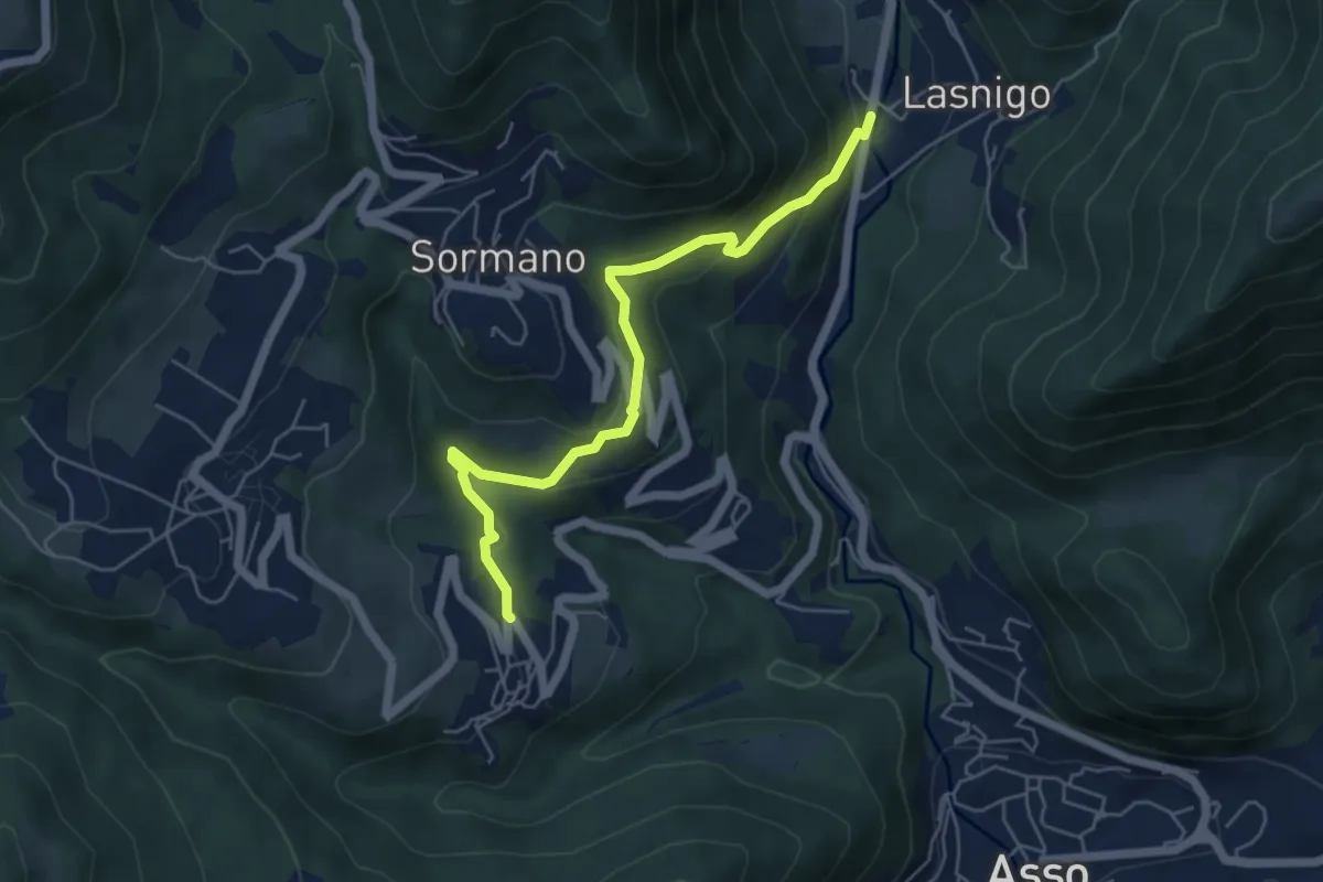
Easy · Trail
Bocchetta di Palanzo – Santi Cosma e Damiano (Rezzago)
5.5 km · ↑ 257 m · 1 h 52 min · 9 km away
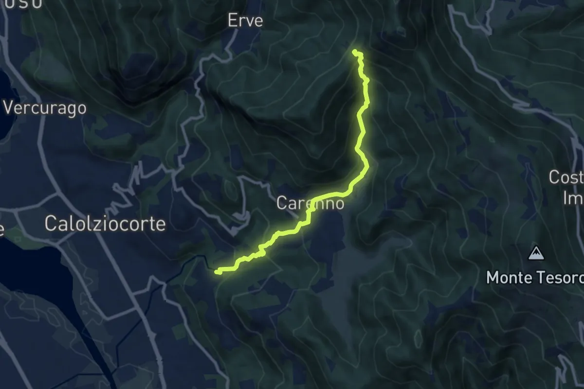
Medium · Trail
Lorentino (Calolziocorte) – Passo della Pertulena
8.1 km · ↑ 668 m · 3 h 21 min · 9 km away
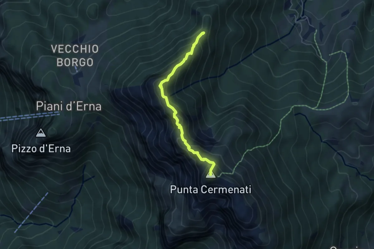
Expert · Summit
Sentiero delle Creste Nord
4.5 km · ↑ 323 m · 1 h 45 min · 9 km away
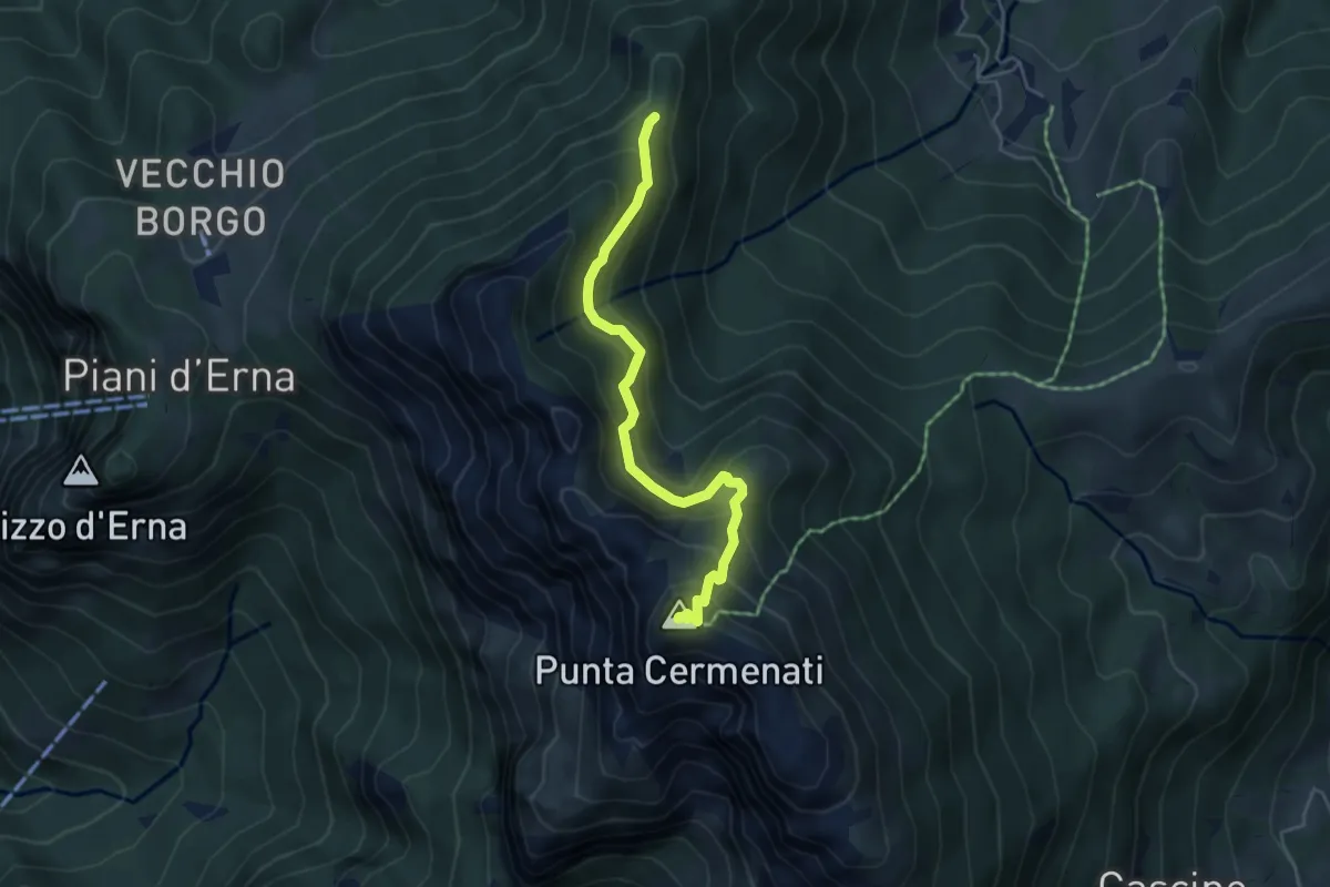
Demanding · Summit
Passo del Giuff – Monte Resegone
4.7 km · ↑ 410 m · 2 h · 9 km away
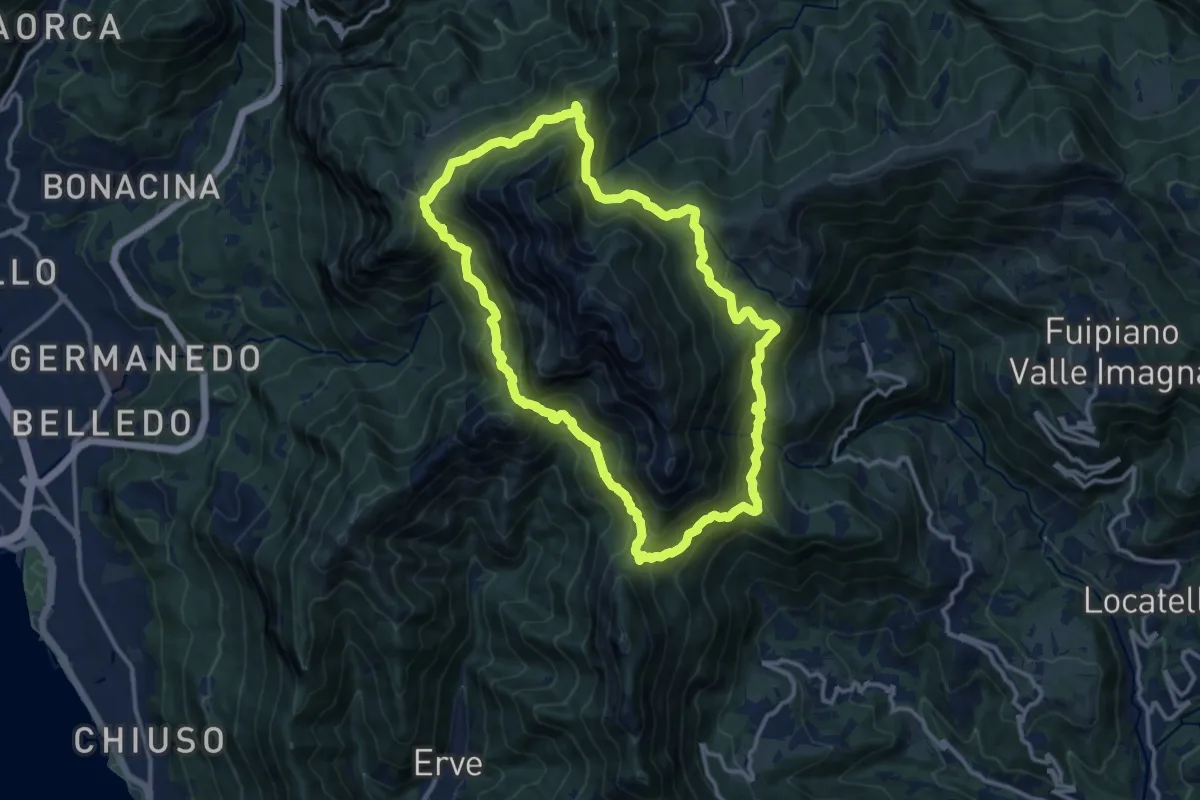
Demanding · Summit
Anello del Resegone
12.8 km · ↑ 1001 m · 5 h 21 min · 9 km away
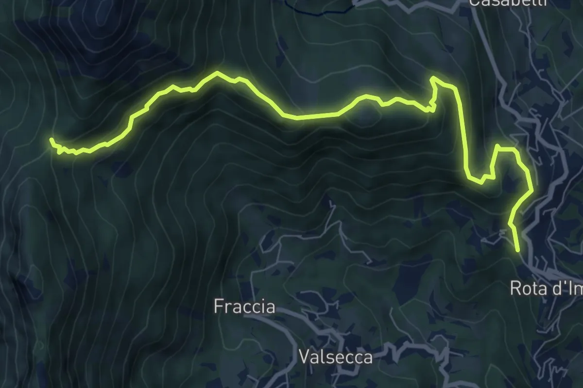
Medium · Trail
Rota d'Imagna – La Passata
9.3 km · ↑ 699 m · 3 h 43 min · 9 km away
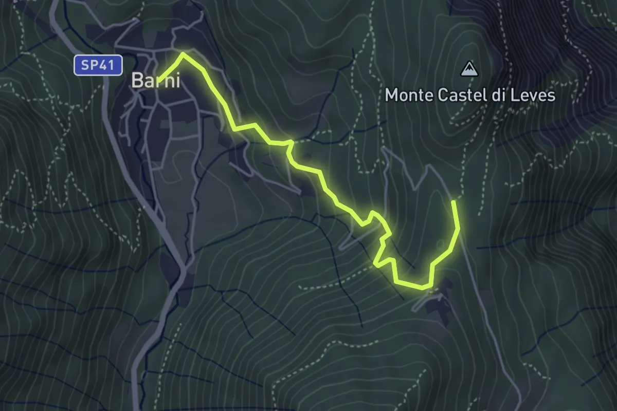
Easy · Trail
Barni – Caval di Barni
4.5 km · ↑ 262 m · 1 h 37 min · 9 km away
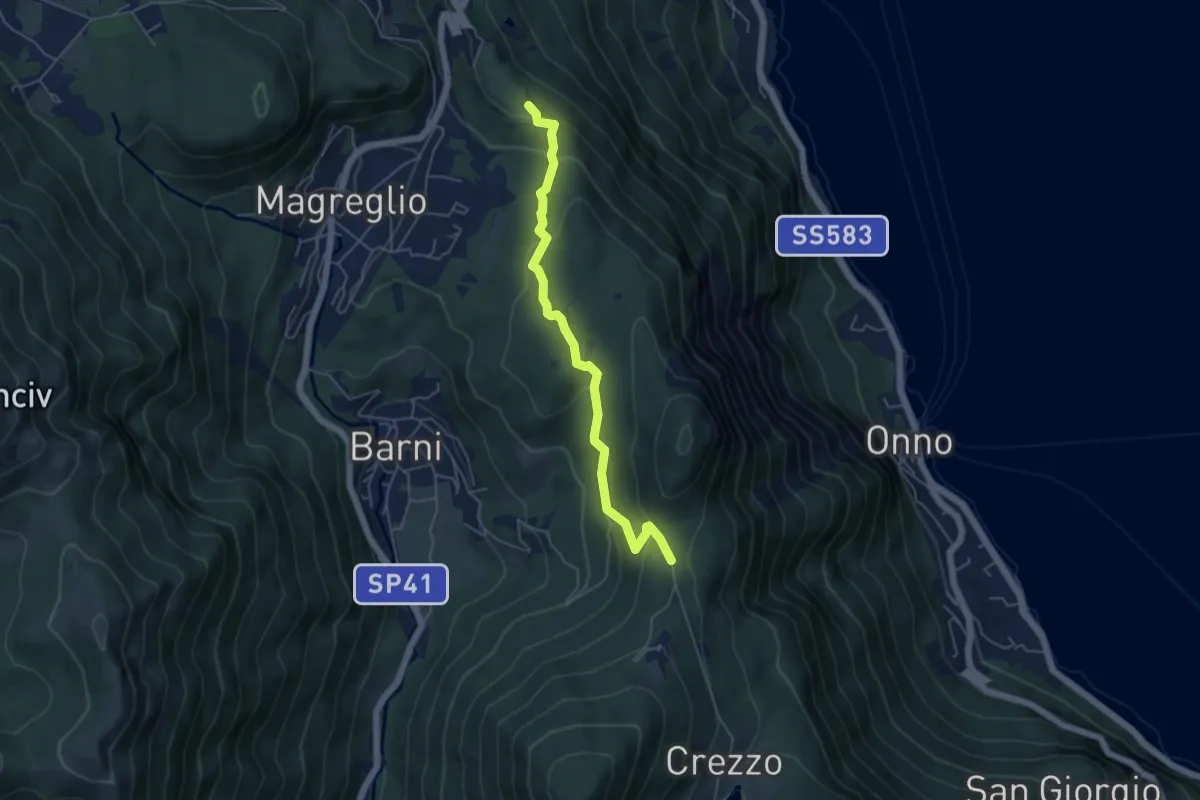
Easy · Trail
Caval di Barni – Alpetto
5.1 km · ↑ 253 m · 1 h 45 min · 9 km away
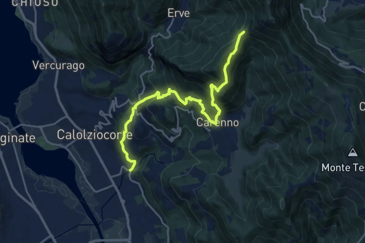
Demanding · Trail
Serta (Calolziocorte) – Passo della Pertulena
12.4 km · ↑ 967 m · 5 h 2 min · 9 km away
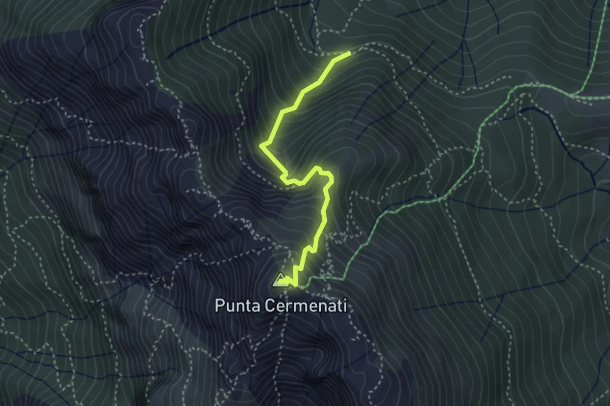
Demanding · Summit
Sorgente Forbesette – Monte Resegone
3.1 km · ↑ 458 m · 1 h 44 min · 9 km away
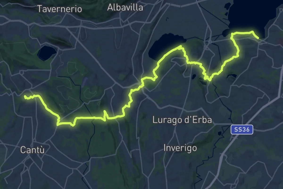
Demanding · Trail
Sentiero Pedemonte - Tappa 2
21.4 km · ↑ 377 m · 6 h 7 min · 9 km away
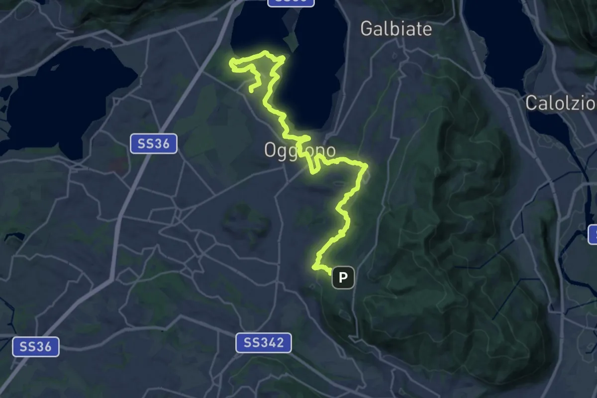
Medium · Trail
Antico Percorso di Fede dell'Alta Brianza
14.0 km · ↑ 200 m · 4 h 4 min · 9 km away
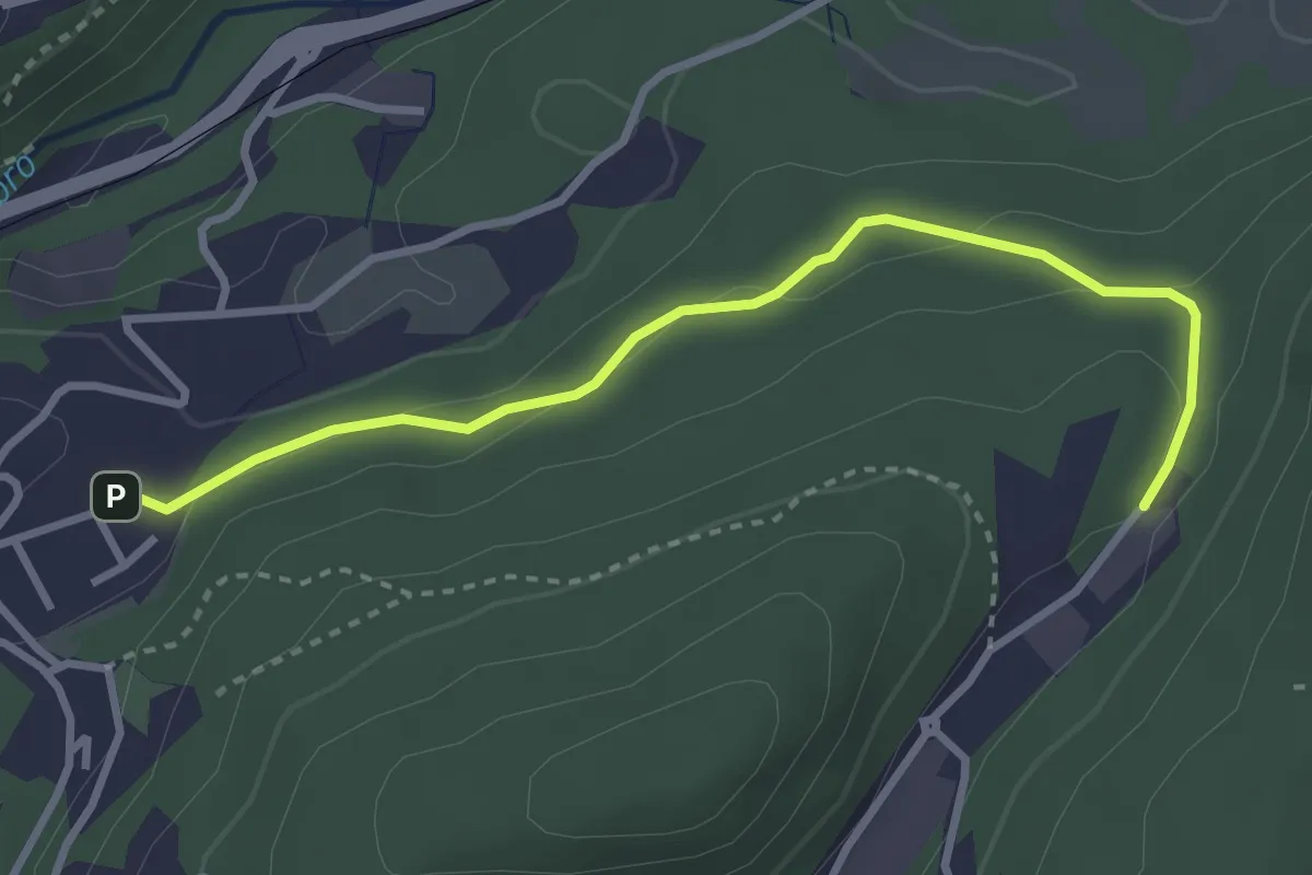
Easy · Trail
Sasso del Numero – Zona industriale di Proseprio
3.3 km · ↑ 99 m · 59 min · 9 km away
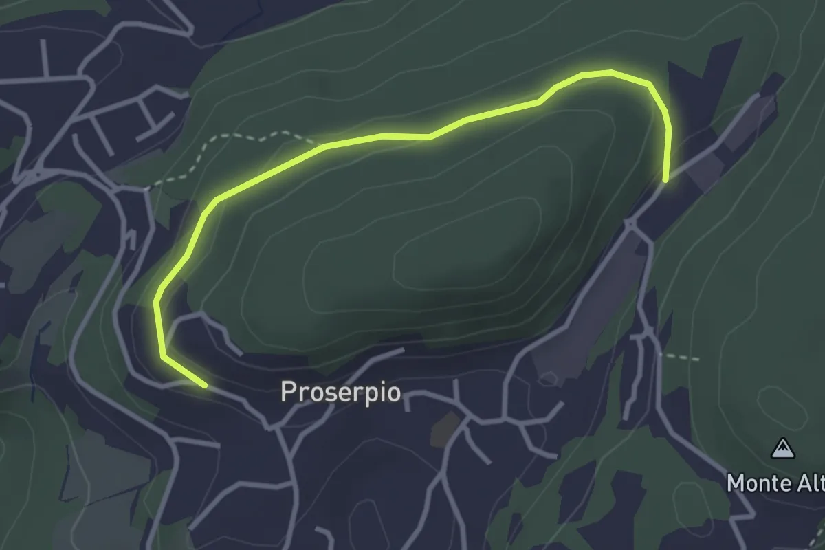
Easy · Trail
Rusera (Proserpio) – Zona industriale di Proseprio
3.1 km · ↑ 50 m · 51 min · 9 km away
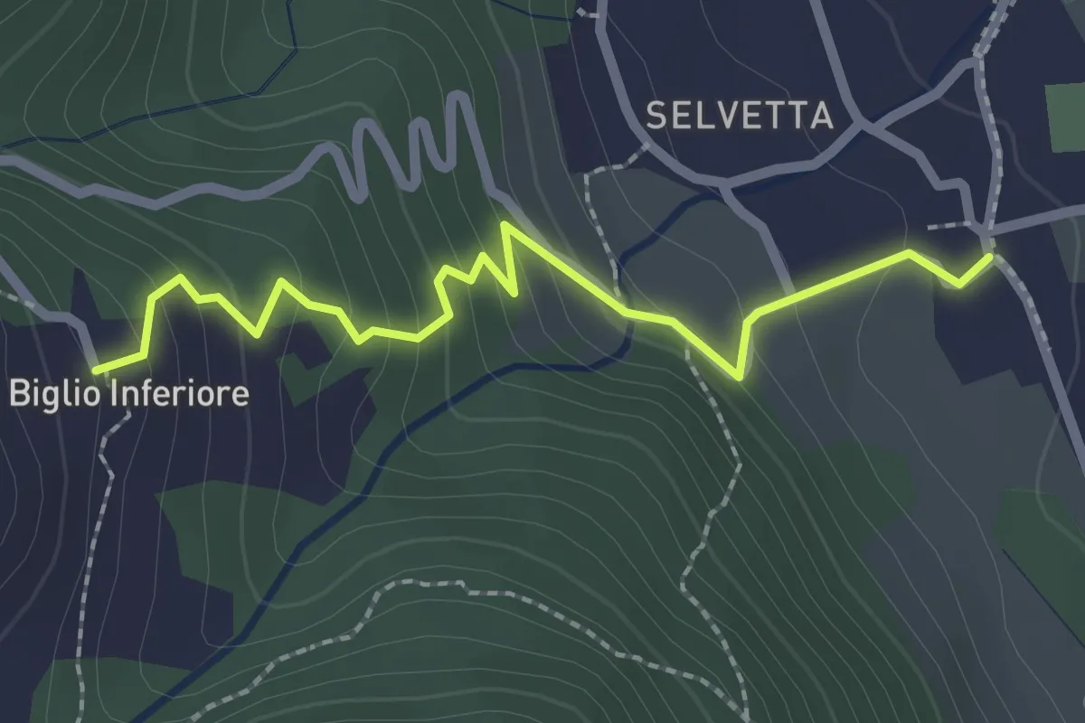
Easy · Trail
Valgreghentino – Biglio Inferiore
2.3 km · ↑ 184 m · 57 min · 9 km away
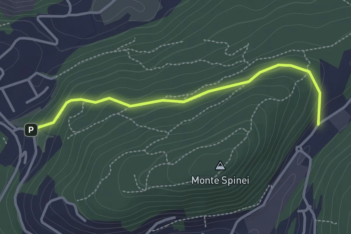
Easy · Trail
Bosco della Gualdera – Zona industriale di Proseprio
2.6 km · ↑ 85 m · 48 min · 9 km away
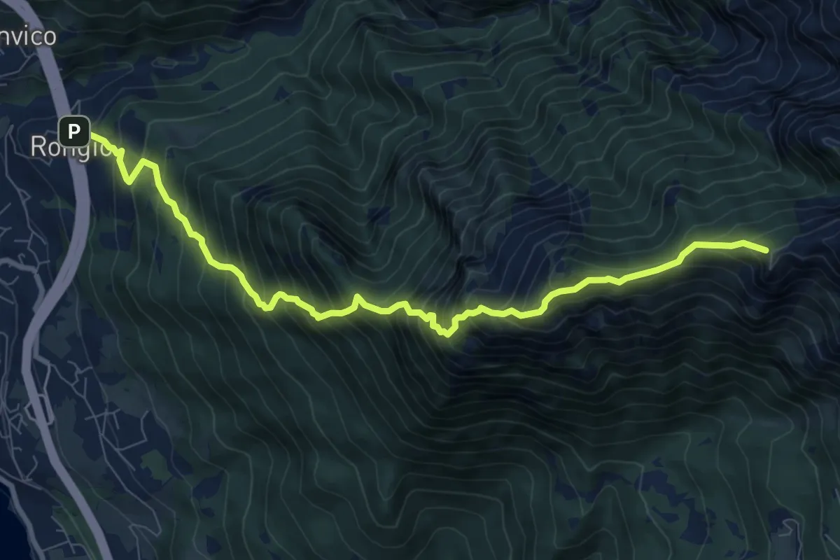
Demanding · Summit
Rongio – Rifugio Rosalba
9.7 km · ↑ 1345 m · 5 h 13 min · 9 km away
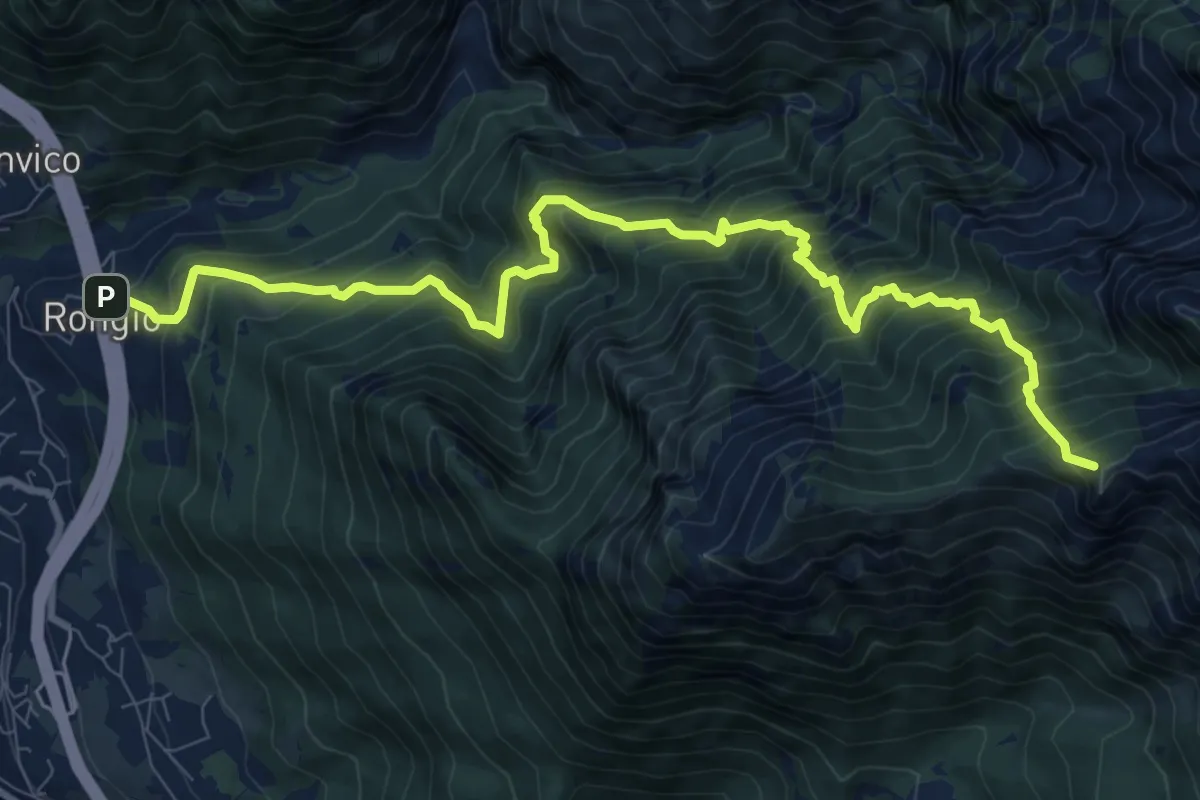
Demanding · Summit
Rongio – Rifugio Rosalba
11.2 km · ↑ 1537 m · 5 h 58 min · 9 km away
Demanding · Summit
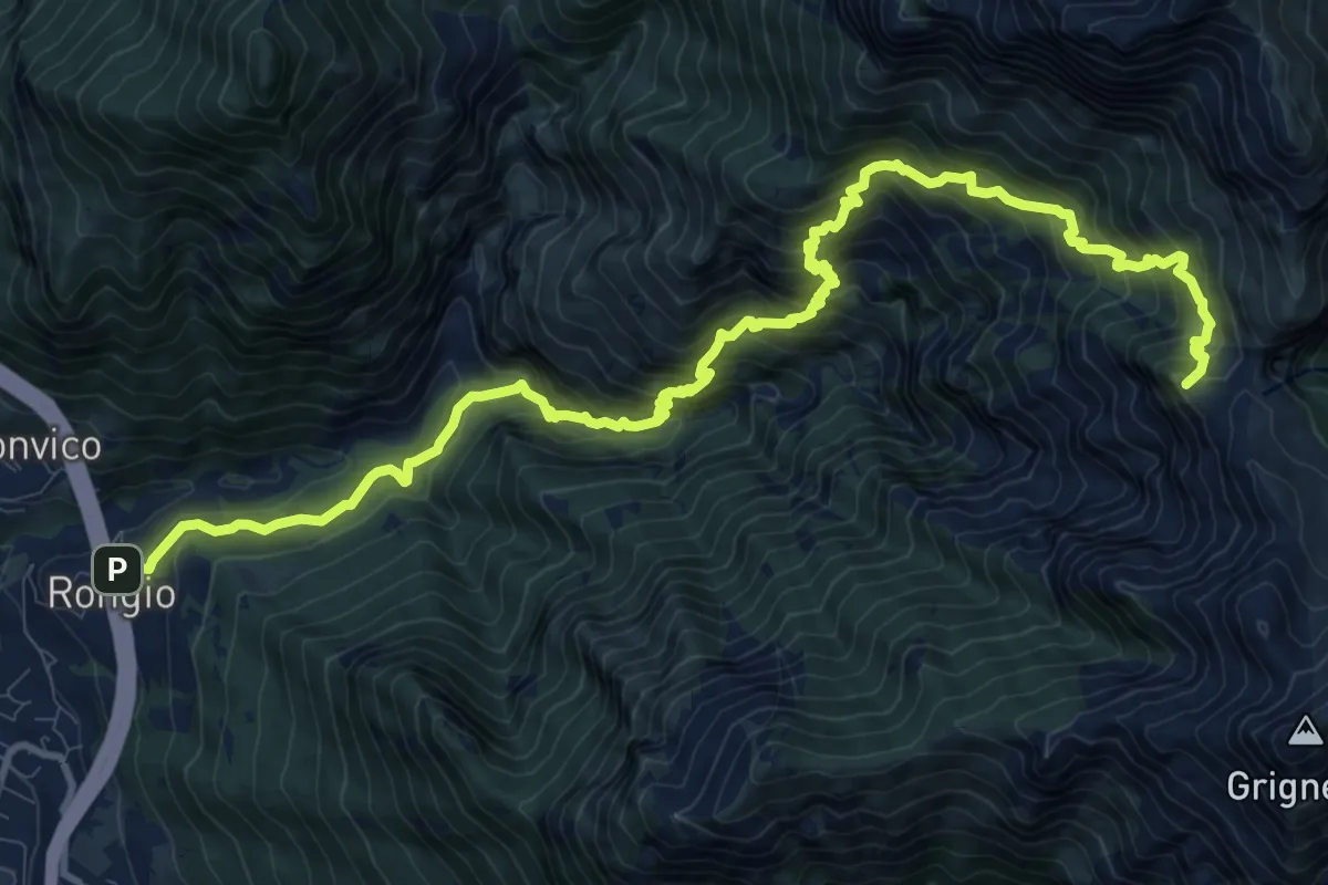
Rongio – Buco di Grigna
14.8 km · ↑ 1871 m · 7 h 33 min · 9 km away
Demanding · Trail
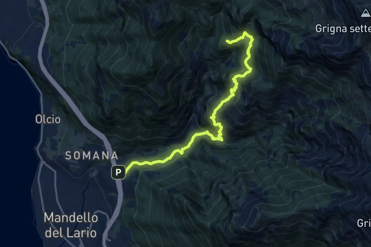
Rongio – Alpe Cetra
12.0 km · ↑ 1353 m · 5 h 46 min · 9 km away
Medium · Trail
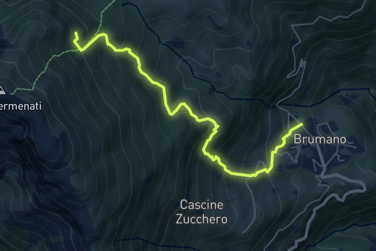
Brumano – Colletto di Brumano (incrocio 571)
6.4 km · ↑ 625 m · 2 h 52 min · 9 km away
Medium · Trail
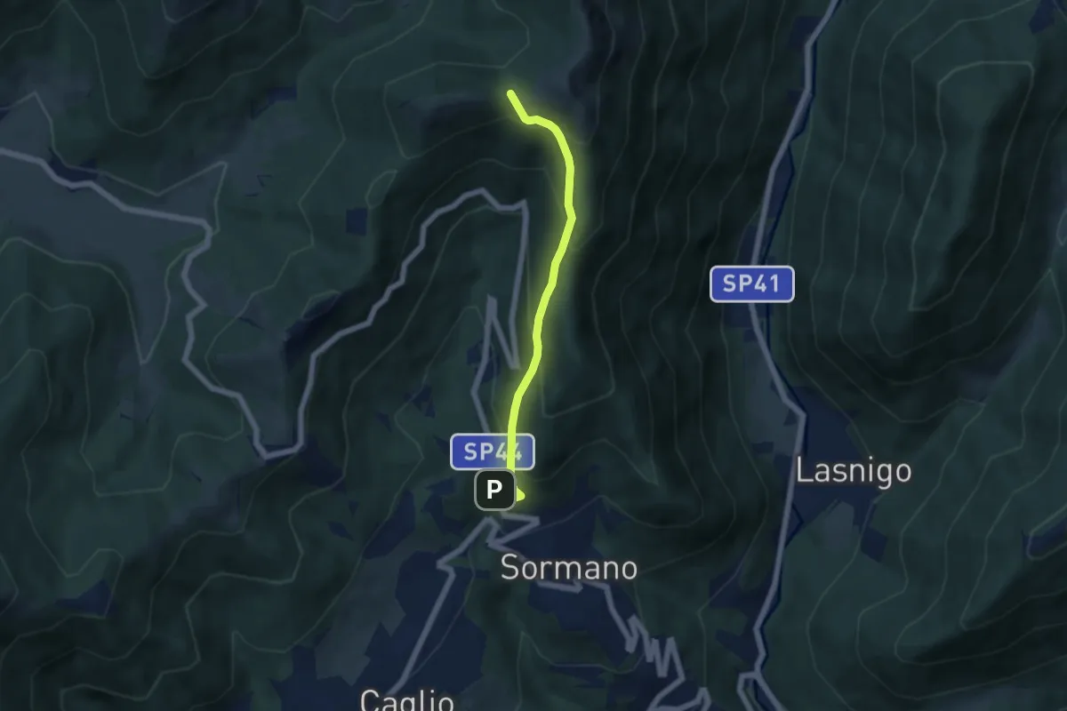
Sormano – Colma del Bosco
4.8 km · ↑ 392 m · 1 h 59 min · 10 km away