Trails near Valmadrera
362 hikes starting within 15 km, nearest first.
Nearest first, page 5 of 8
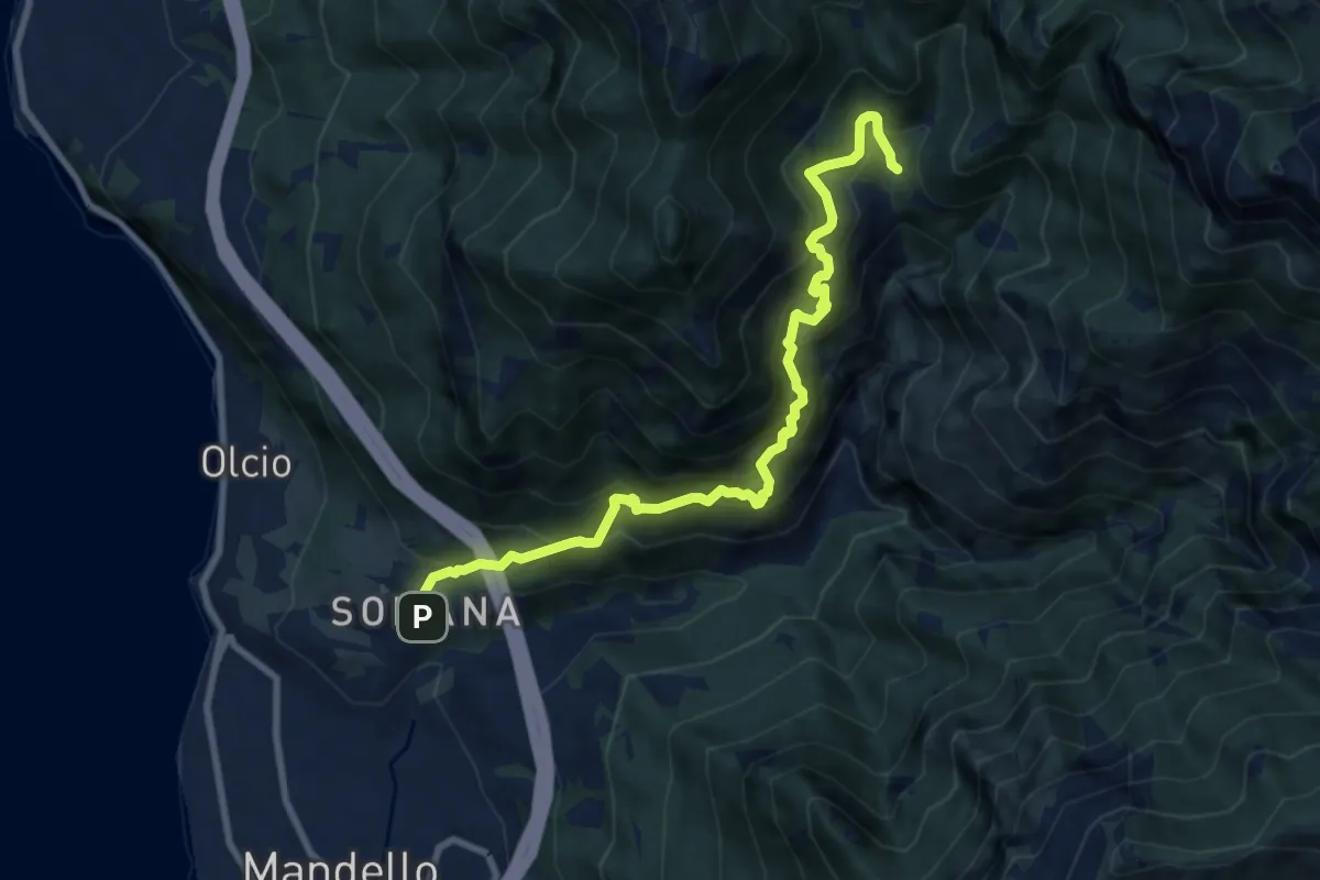
Demanding · Trail
Somana-Mandello – Rifugio Bietti Buzzi
9.3 km · ↑ 1082 m · 4 h 33 min · 10 km away
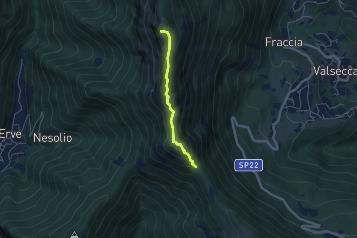
Demanding · Summit
Passo del Pertüs – La Passata
3.3 km · ↑ 339 m · 1 h 30 min · 10 km away
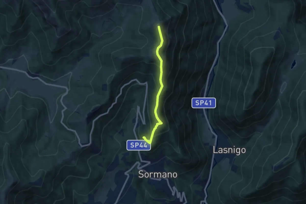
Medium · Summit
Salita per Colma del Bosco – Salita per Colma del Bosco
5.5 km · ↑ 398 m · 2 h 9 min · 10 km away
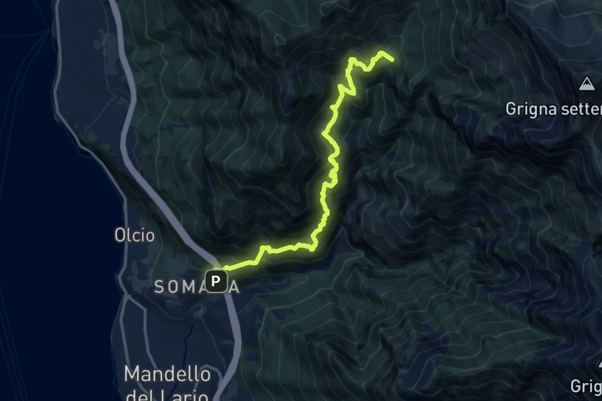
Demanding · Summit
Somana – Bocchetta di Prada
12.0 km · ↑ 1371 m · 5 h 48 min · 10 km away
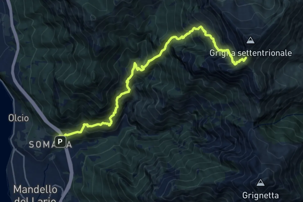
Demanding · Trail
Somana – Grignone
8.2 km · ↑ 2058 m · 5 h 35 min · 10 km away
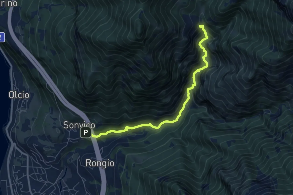
Expert · Trail
Sentiero del Fiume
7.2 km · ↑ 617 m · 3 h 2 min · 10 km away
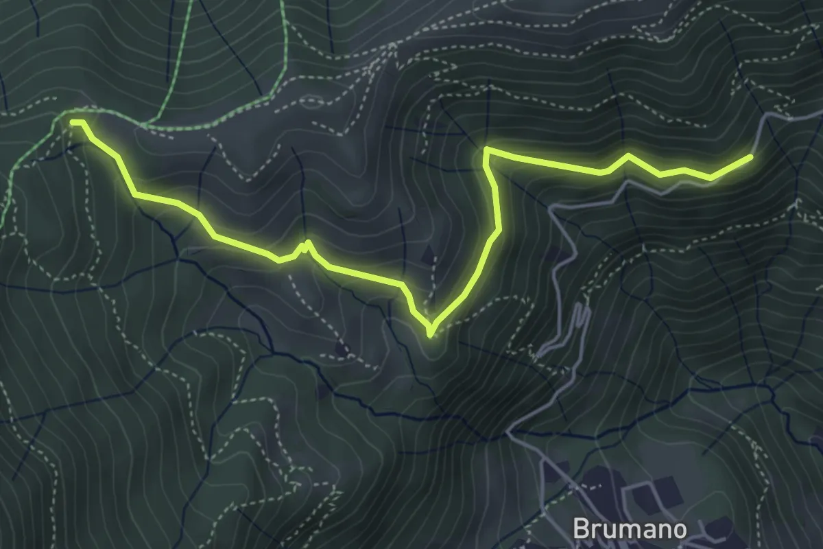
Medium · Trail
Strada Brumano/Fuipiano – Bocca di Palio
5.3 km · ↑ 363 m · 2 h 2 min · 10 km away
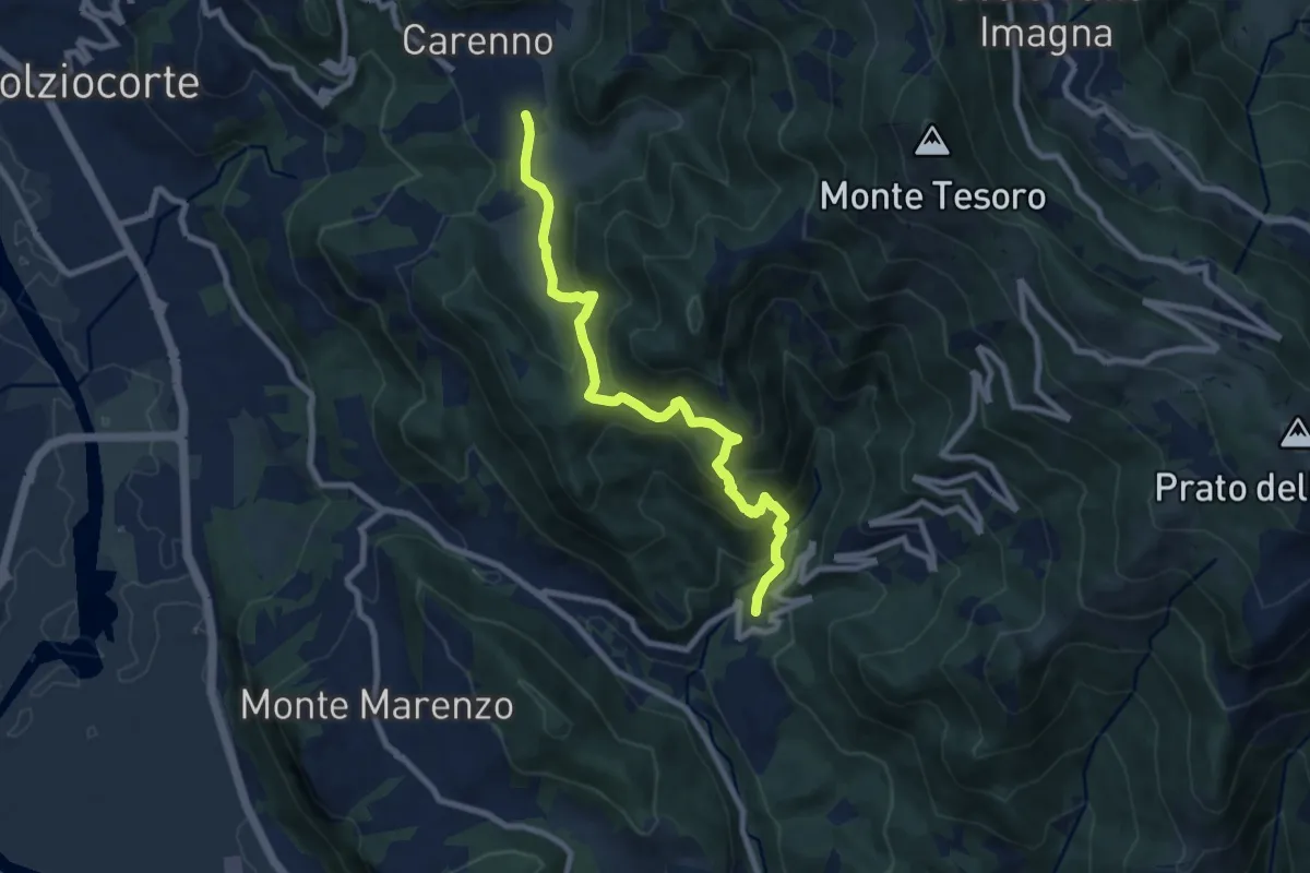
Medium · Trail
Carenno – Torre de' Busi
8.8 km · ↑ 708 m · 3 h 37 min · 10 km away
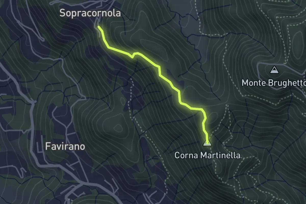
Easy · Summit
Torre de Busi – Sopracornola
2.9 km · ↑ 212 m · 1 h 9 min · 10 km away
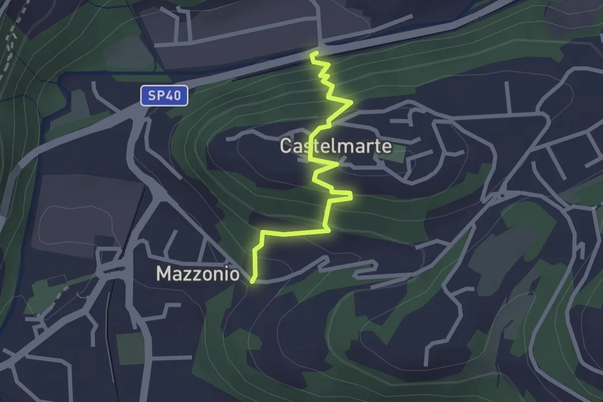
Easy · Trail
Stazione di Caslino d'Erba – Mazzonio (Ponte Lambro)
2.2 km · ↑ 199 m · 56 min · 10 km away
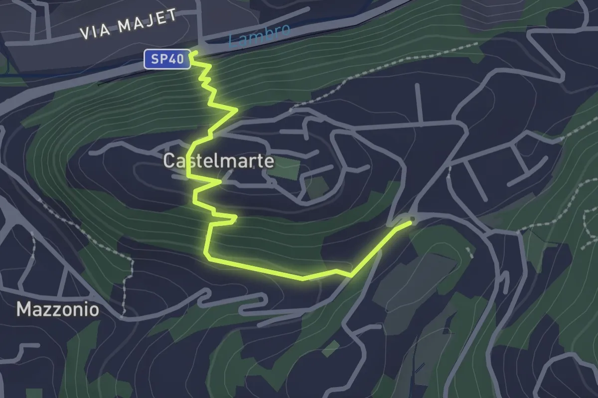
Easy · Trail
Stazione di Caslino d'Erba – Castelmarte
2.5 km · ↑ 179 m · 58 min · 10 km away
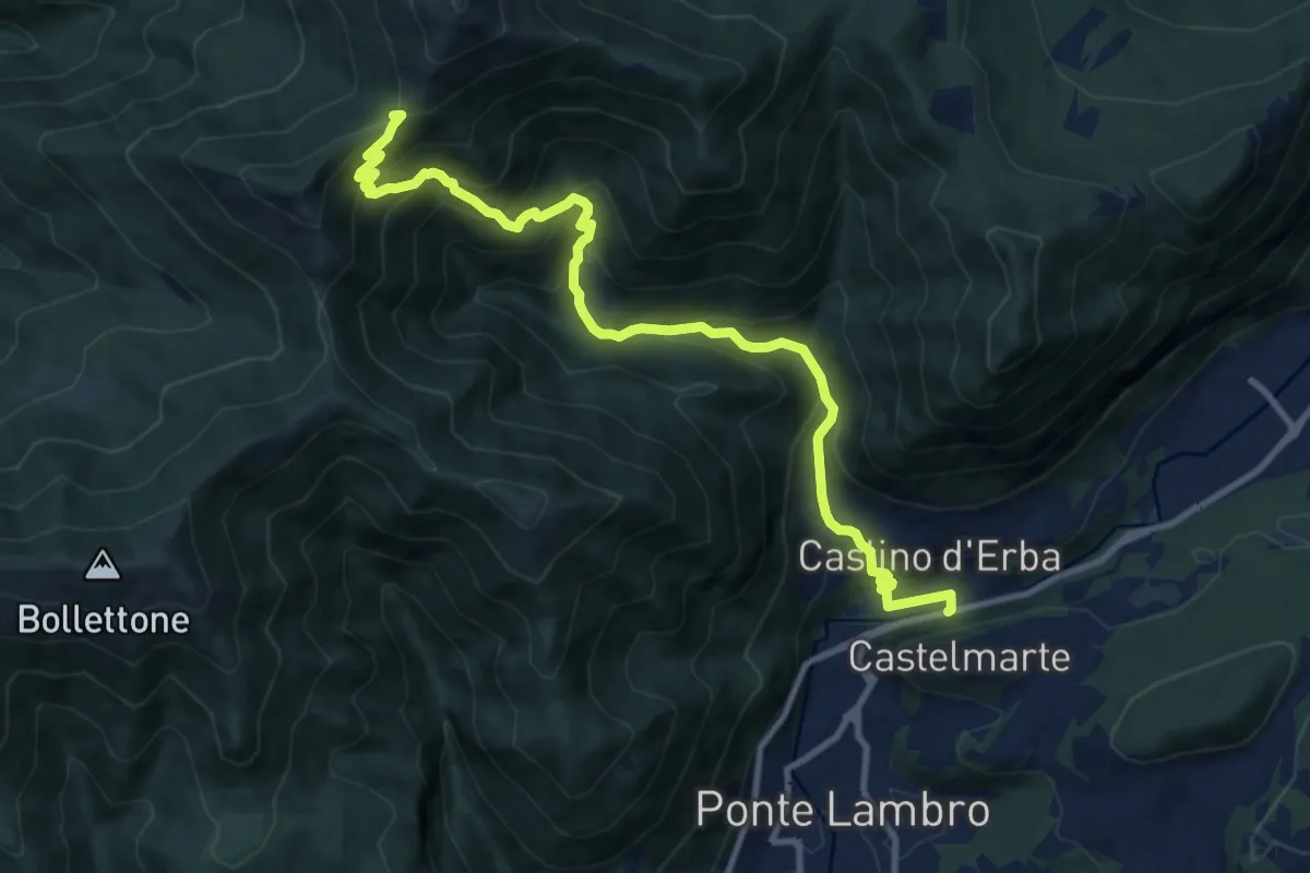
Demanding · Trail
Caslino d'Erba – Bocchetta di Palanzo
11.7 km · ↑ 912 m · 4 h 45 min · 10 km away
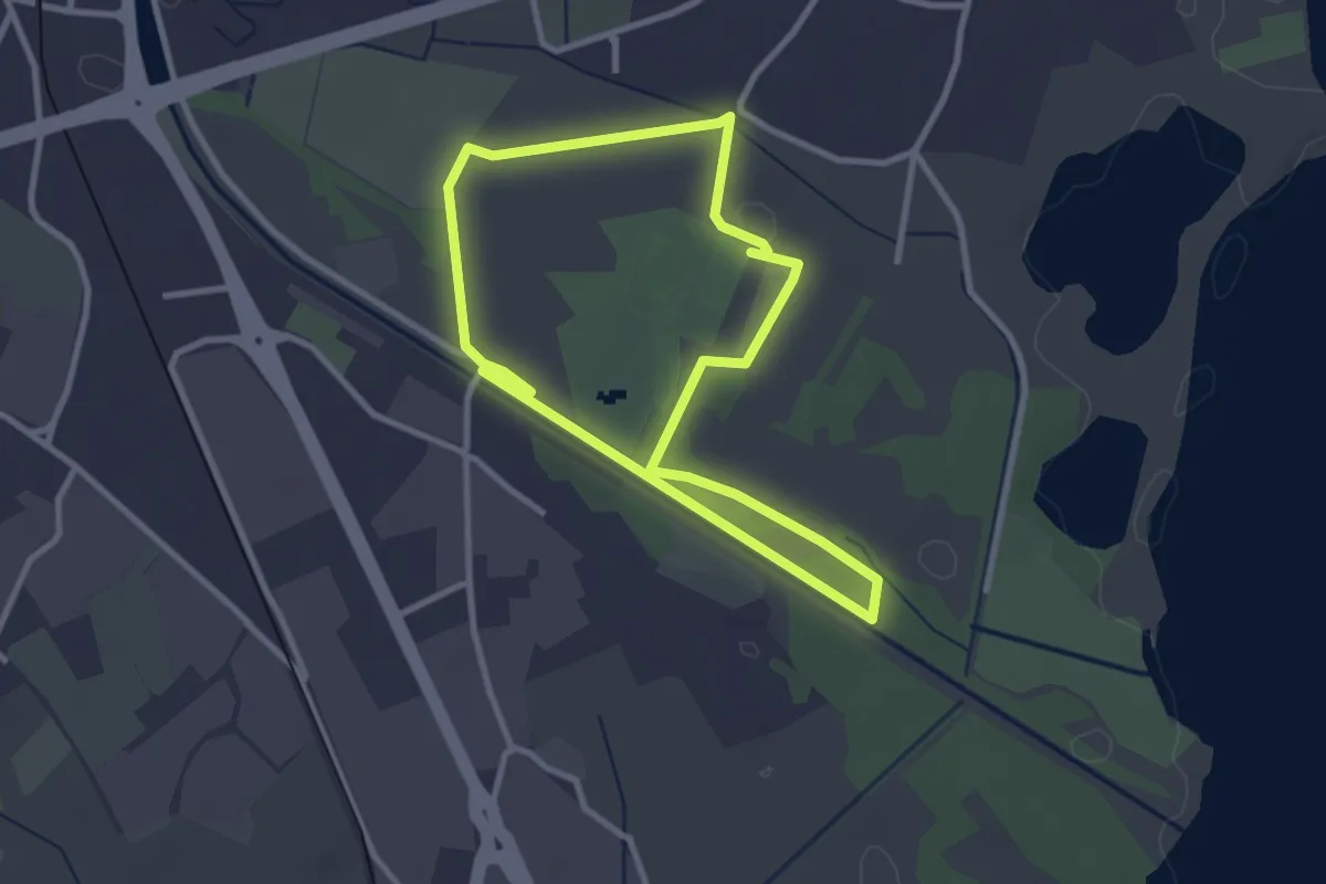
Easy · Trail
Percorso maggiore
2.8 km · ↑ 9 m · 44 min · 10 km away
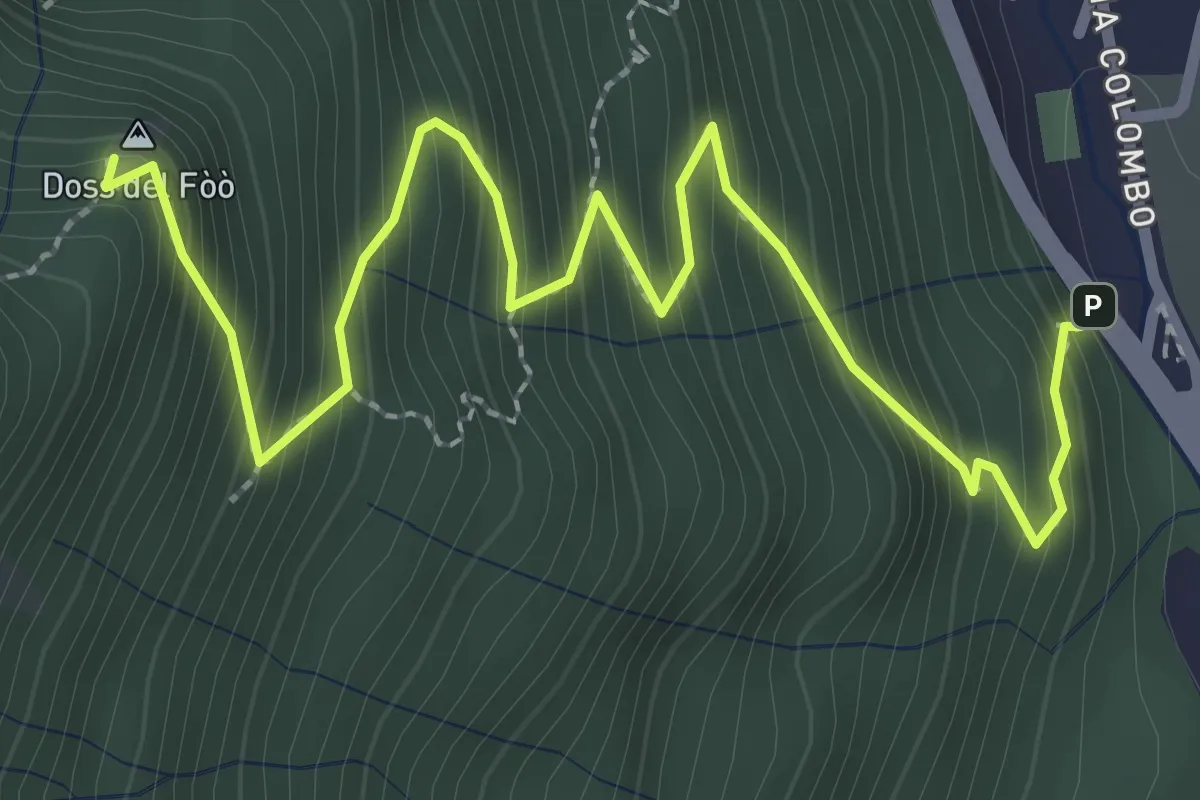
Medium · Summit
Barni – Bocchetta di Spessola
3.6 km · ↑ 433 m · 1 h 48 min · 10 km away
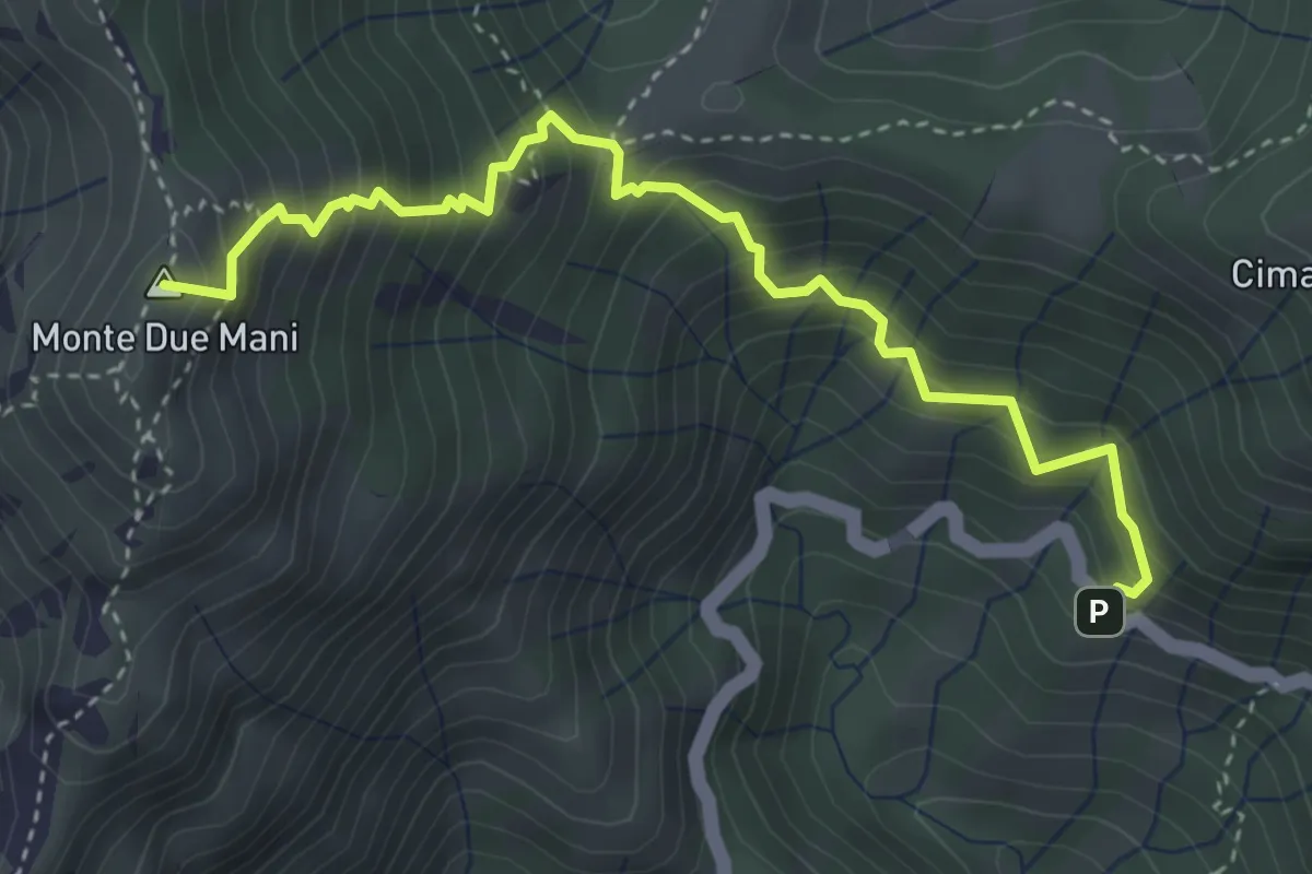
Medium · Summit
Innesto SP63 – Monte Due Mani
4.1 km · ↑ 587 m · 2 h 14 min · 10 km away
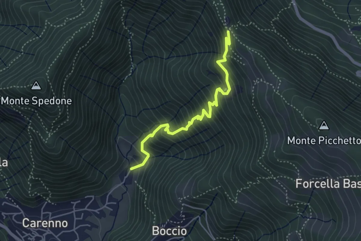
Medium · Trail
Carenno – Pertüs
4.2 km · ↑ 509 m · 2 h 6 min · 10 km away
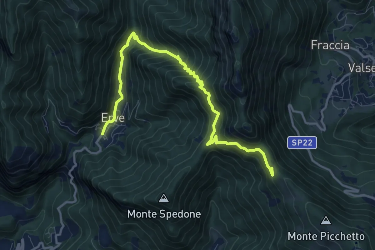
Demanding · Trail
Convento del Pertus – Erve, Piazza del Municipio
10.4 km · ↑ 869 m · 4 h 20 min · 10 km away
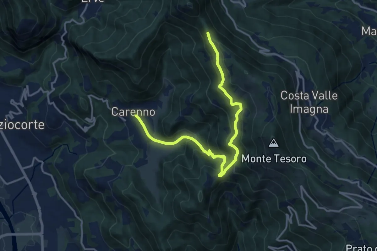
Medium · Trail
Carenno – Pertüs
11.3 km · ↑ 683 m · 4 h 9 min · 10 km away
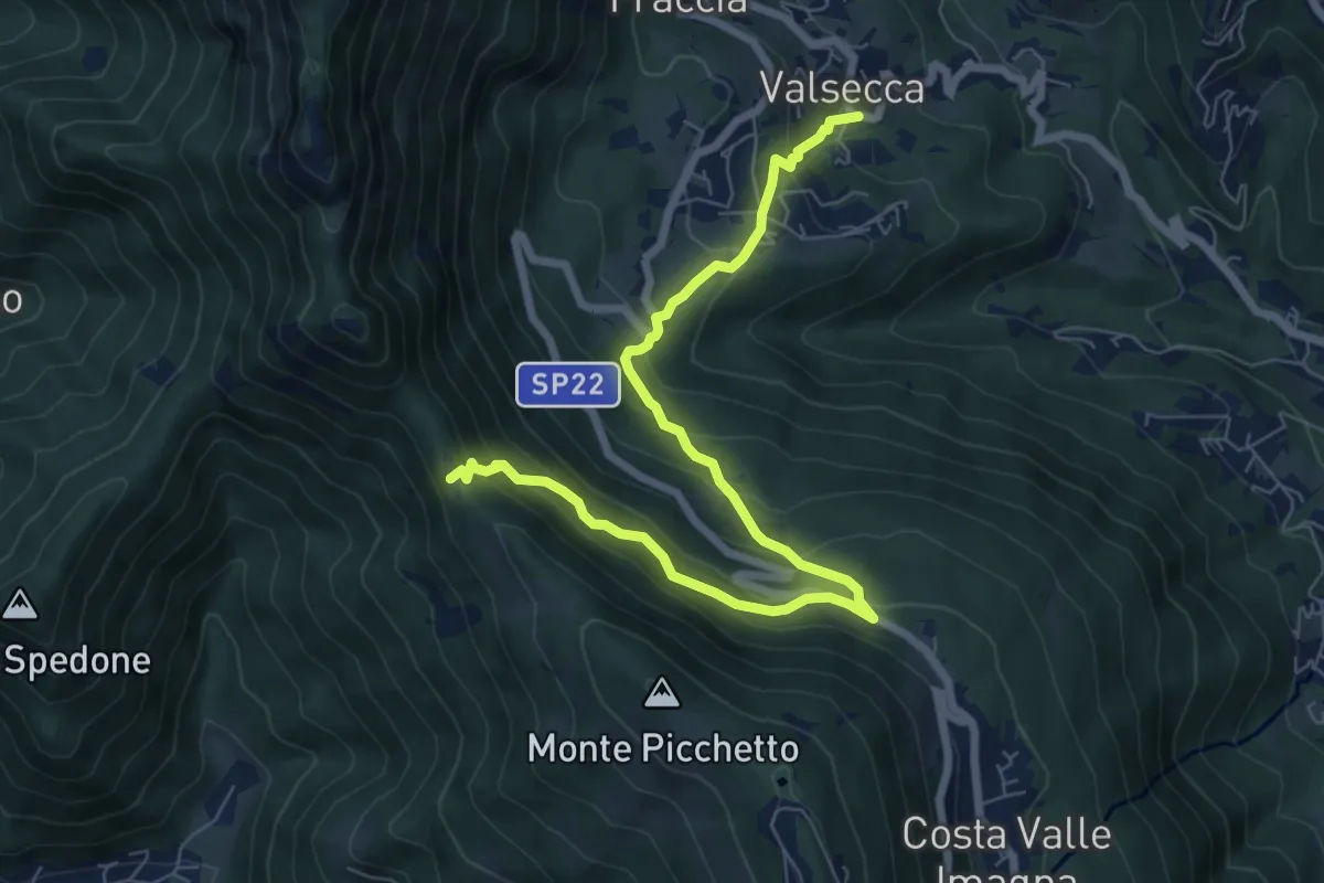
Medium · Trail
Valsecca – Pertüs
8.3 km · ↑ 616 m · 3 h 17 min · 10 km away
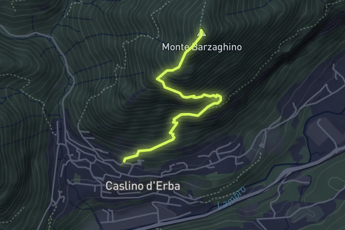
Demanding · Summit
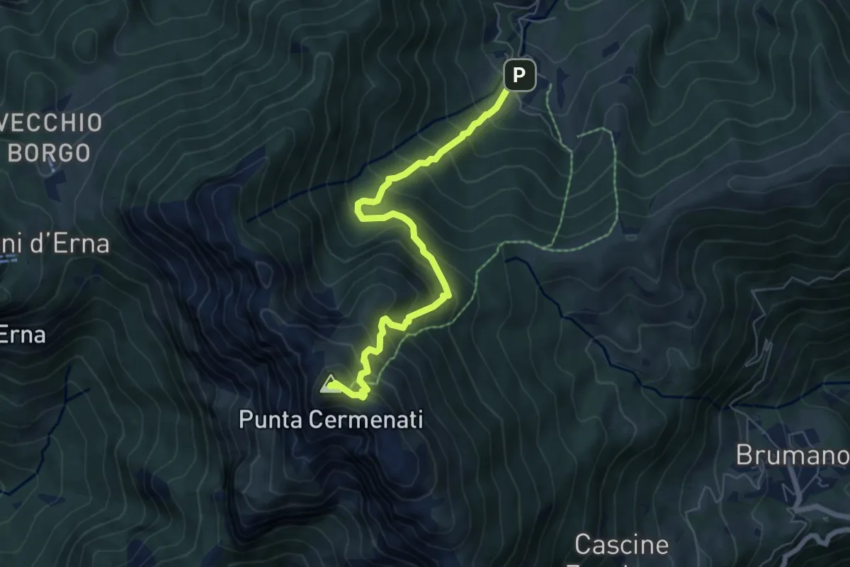
Caslino d’Erba – Via ai Ronchi – Monte Barzaghino
3.9 km · ↑ 614 m · 2 h 15 min · 10 km away
Medium · Summit
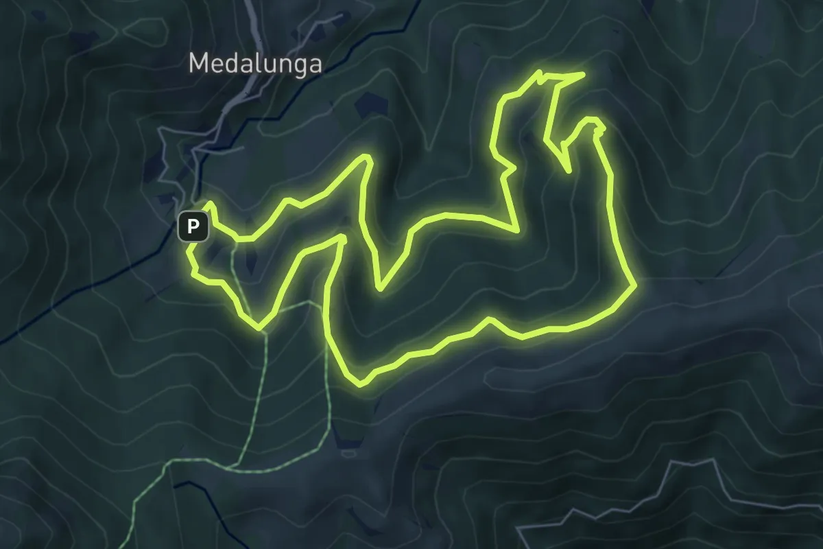
Morterone – Monte Resegone
6.5 km · ↑ 759 m · 3 h 11 min · 10 km away
Medium · Trail
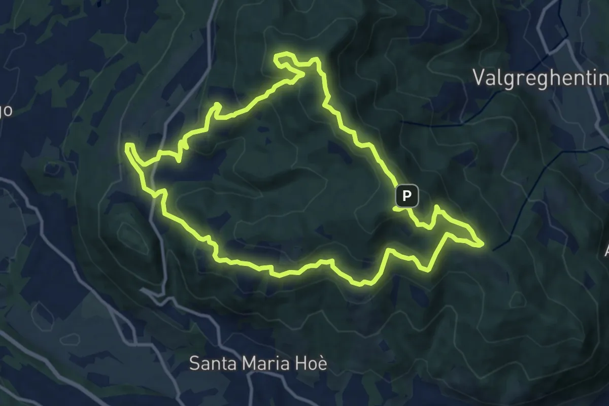
Sentiero dei Grandi Alberi - Anello
7.4 km · ↑ 485 m · 2 h 54 min · 10 km away
Medium · Summit
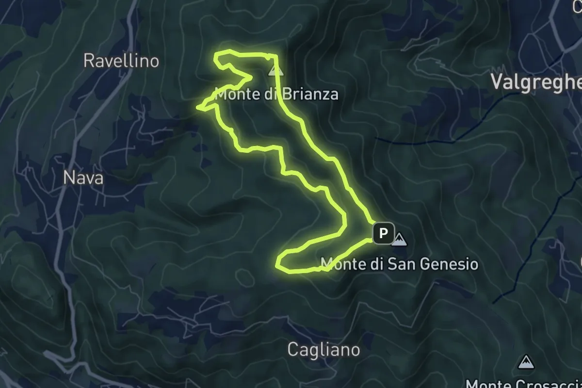
Percorso geologico naturalistico
12.1 km · ↑ 534 m · 4 h 12 min · 10 km away
Medium · Summit
Sentiero Clorofillati!
6.5 km · ↑ 317 m · 2 h 19 min · 10 km away
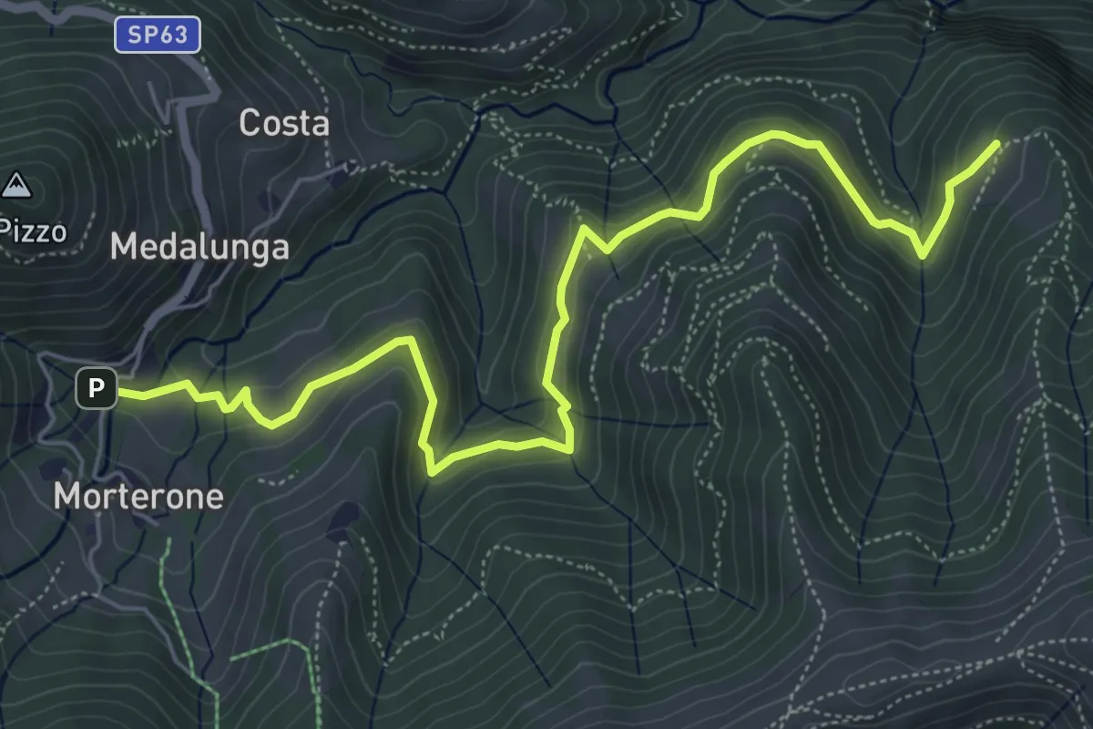
Medium · Trail
Morterone – Selvano
7.0 km · ↑ 331 m · 2 h 23 min · 10 km away
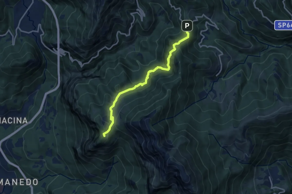
Expert · Trail
Pianid'Erna – Forcella di Olino
8.9 km · ↑ 659 m · 3 h 32 min · 10 km away
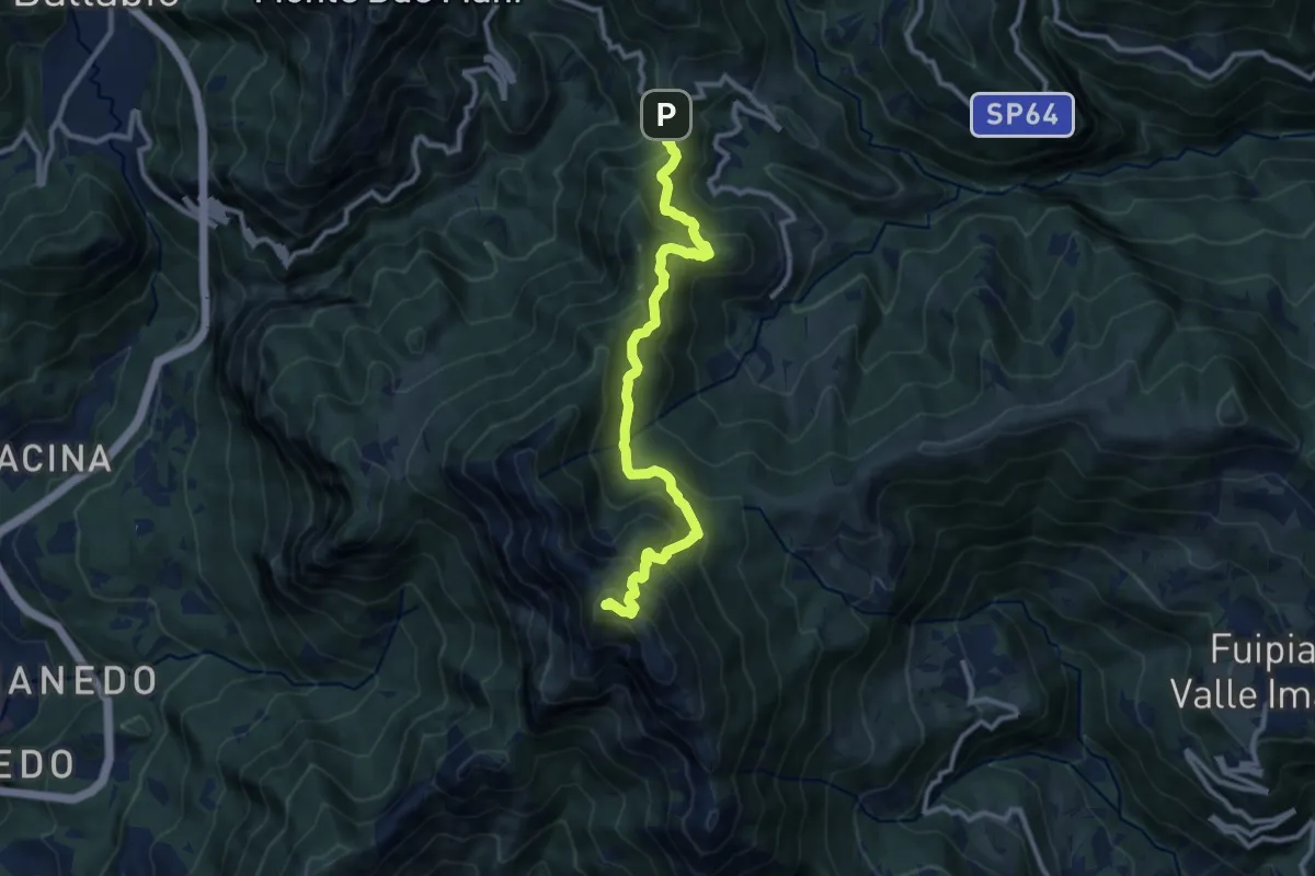
Demanding · Summit
Forcella di Olino – Monte Resegone
10.5 km · ↑ 866 m · 4 h 22 min · 10 km away
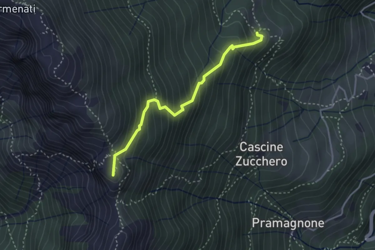
Demanding · Summit
Rifugio Resegone (incrocio 587) – Passo dei Solitari
3.1 km · ↑ 351 m · 1 h 29 min · 10 km away
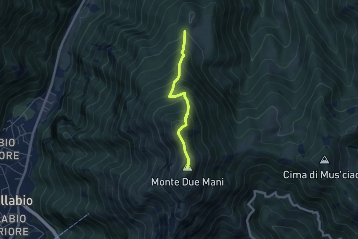
Medium · Summit
Casera di Bodega – Monte Due Mani
3.8 km · ↑ 424 m · 1 h 49 min · 10 km away
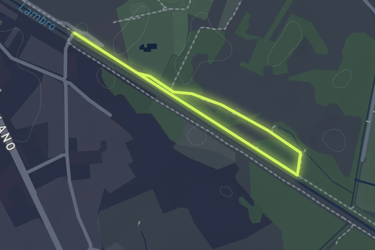
Easy · Trail
Percorso minore
1.3 km · ↑ 0 m · 20 min · 10 km away
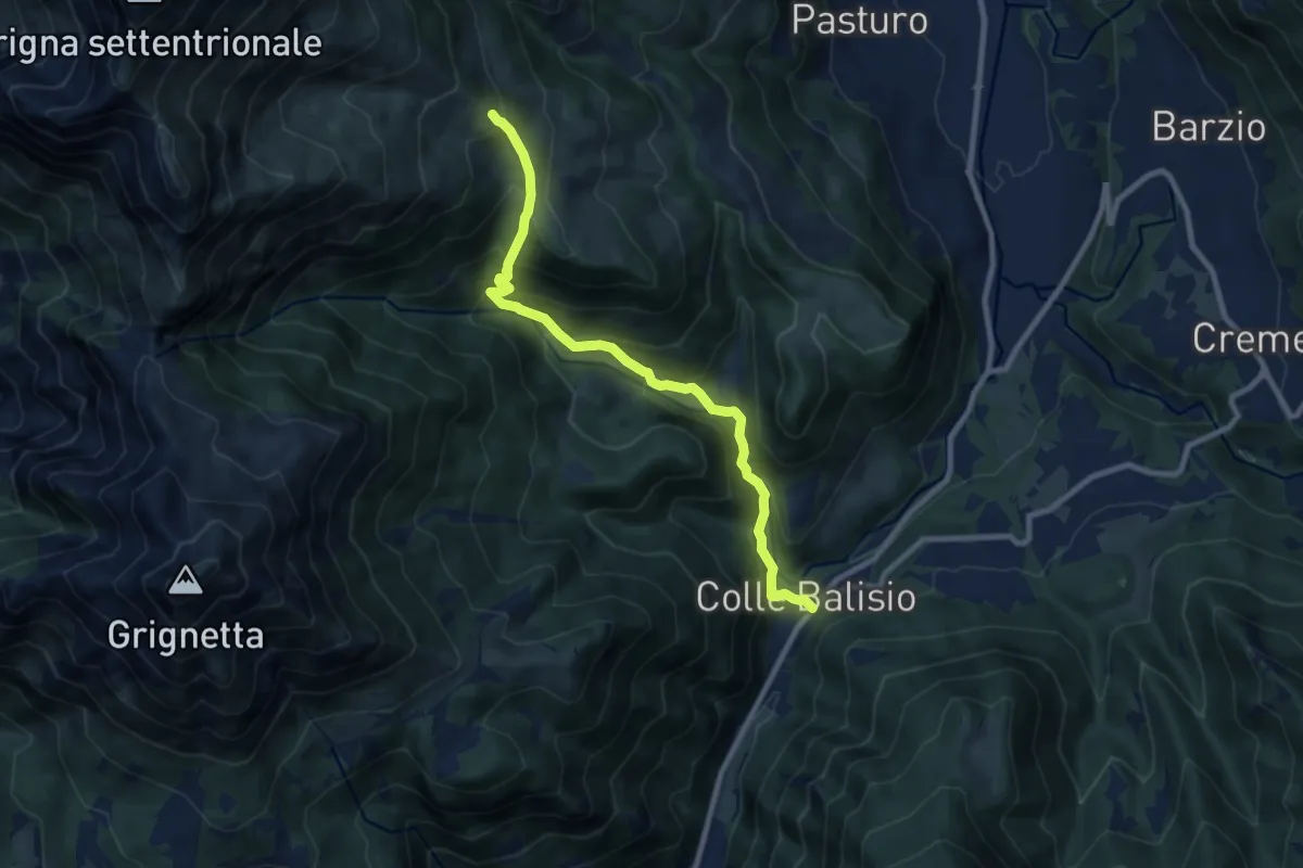
Medium · Trail
Balisio - Pialeral
9.0 km · ↑ 697 m · 3 h 38 min · 10 km away
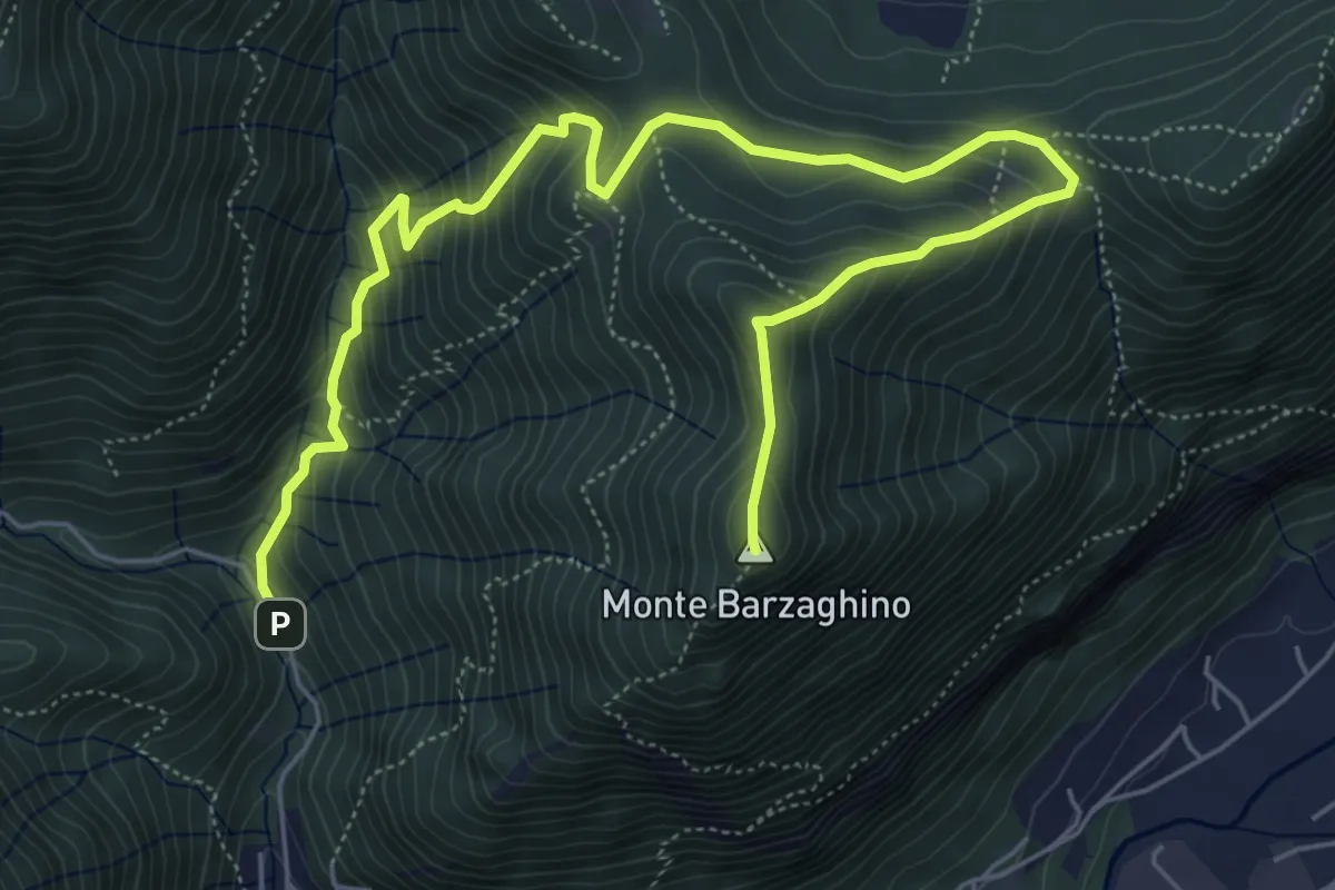
Demanding · Summit
strada per Forum Franciscanum – Monte Barzaghino
8.0 km · ↑ 642 m · 3 h 17 min · 10 km away
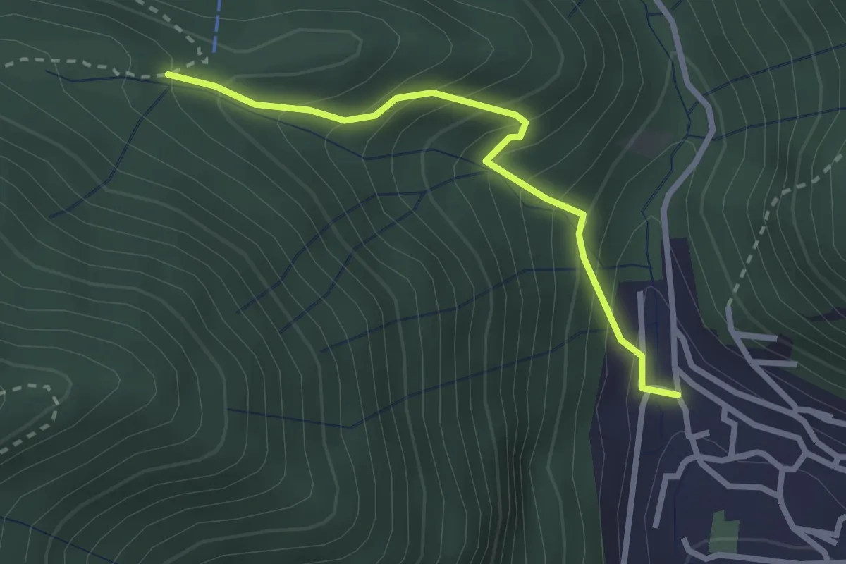
Easy · Trail
Sentiero Tamon - variante per Capanna Mara
2.5 km · ↑ 283 m · 1 h 12 min · 10 km away
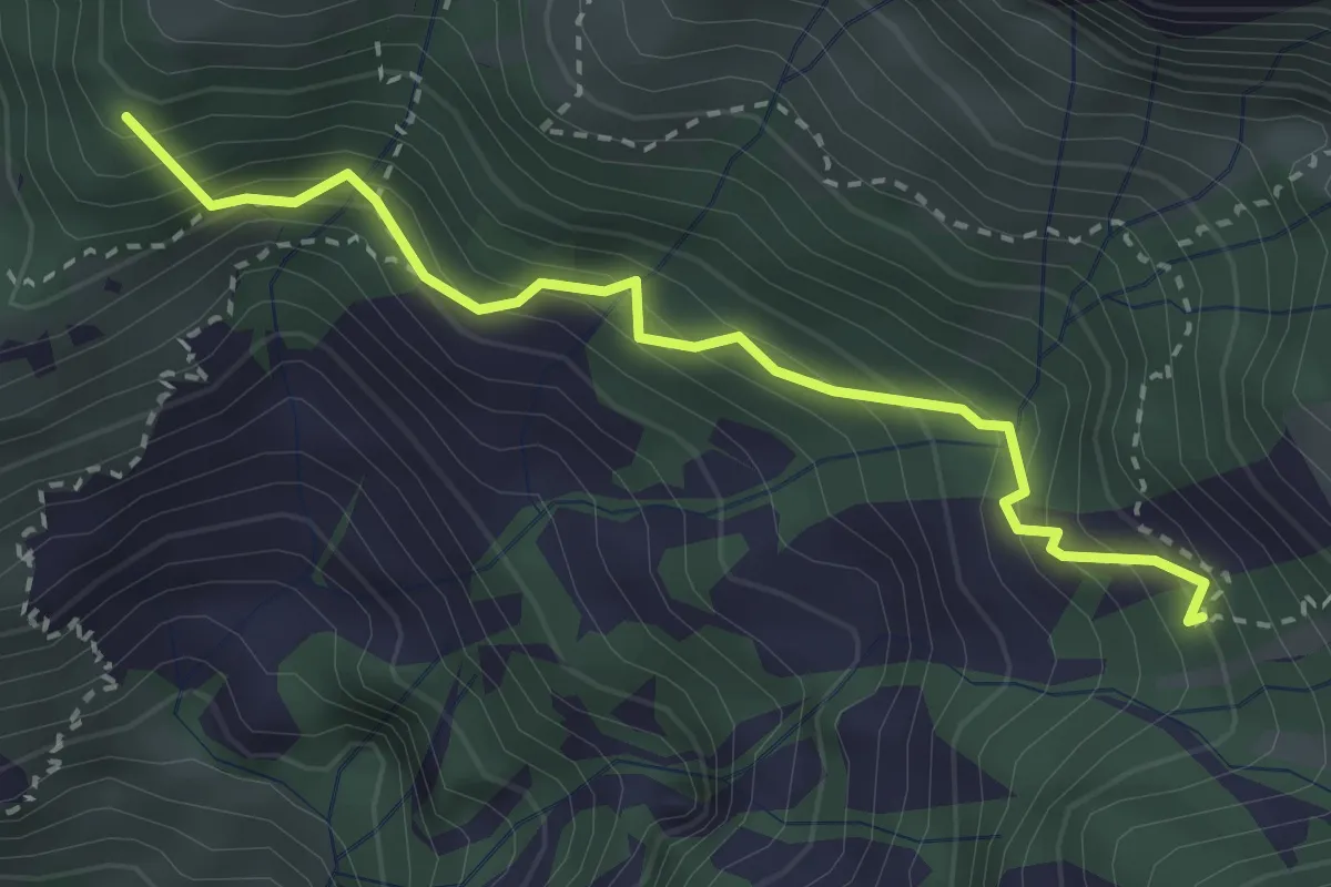
Medium · Summit
La Gardata - Rifugio Elisa
3.1 km · ↑ 395 m · 1 h 35 min · 10 km away
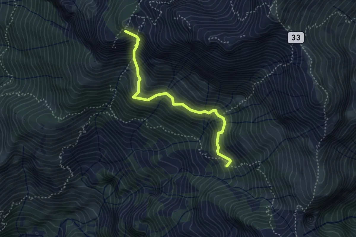
Expert · Summit
Rifugio Elisa – Rifugio Bietti
3.6 km · ↑ 580 m · 2 h 7 min · 10 km away
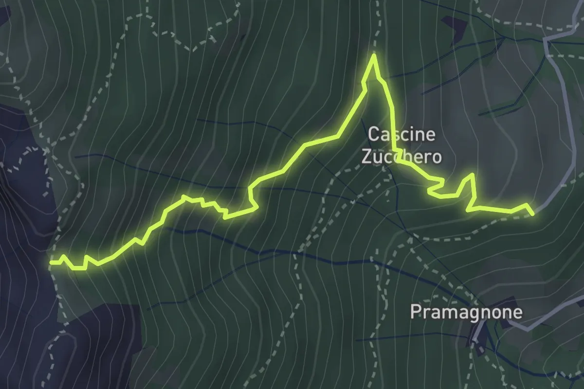
Demanding · Trail
Cascina Zucchero (Brumano) – Cima Piazzo
4.0 km · ↑ 518 m · 2 h 5 min · 10 km away
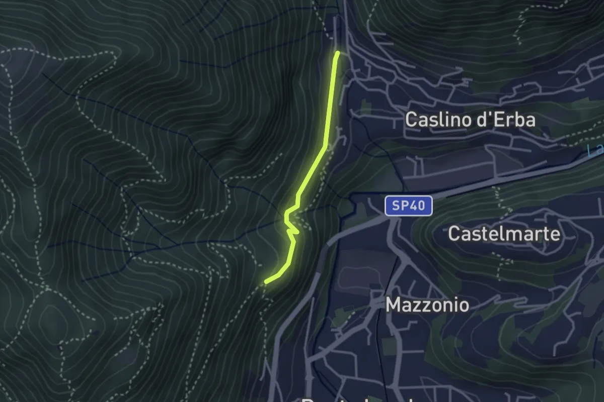
Demanding · Trail
Caslino d’Erba, loc. Punt di Murnèe – incrocio con sentiero 312 per Monte Puscio
2.3 km · ↑ 102 m · 46 min · 10 km away
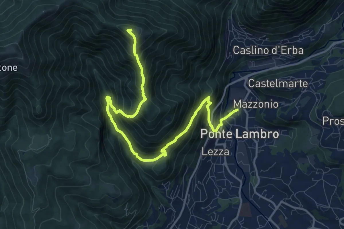
Demanding · Summit
Ponte Lambro – Monte Puscio
11.7 km · ↑ 1032 m · 5 h · 10 km away
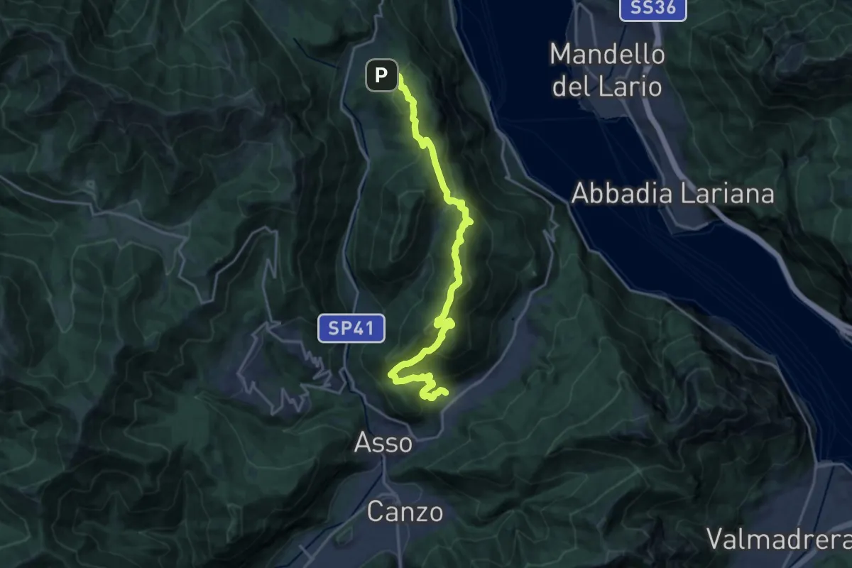
Demanding · Trail
Sentiero del Tivano
18.9 km · ↑ 1104 m · 6 h 52 min · 11 km away
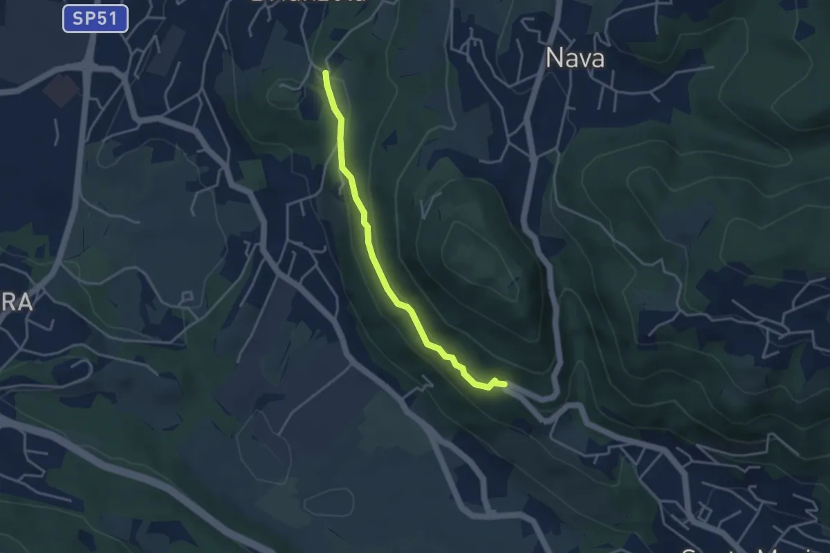
Easy · Trail
Brianzola – Ceppetto
3.3 km · ↑ 108 m · 1 h 1 min · 11 km away
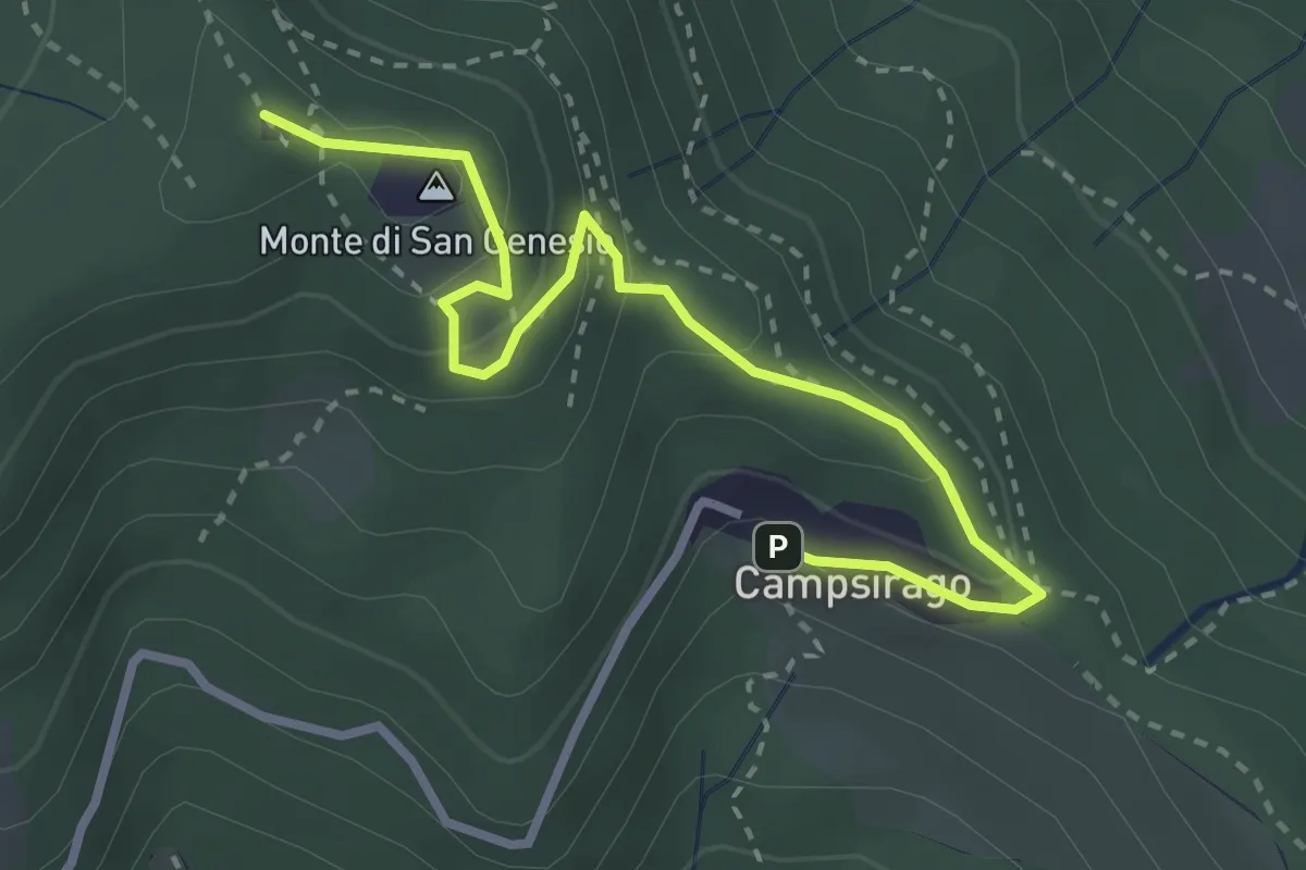
Medium · Summit
Il Sentiero di Giano
3.4 km · ↑ 182 m · 1 h 11 min · 11 km away
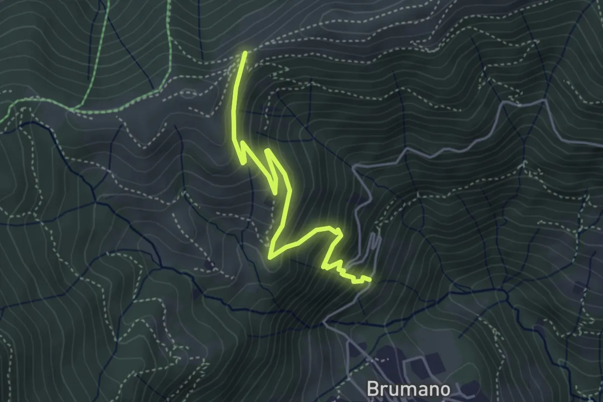
Medium · Trail
Brumano – Passo del Palio
4.3 km · ↑ 401 m · 1 h 54 min · 11 km away
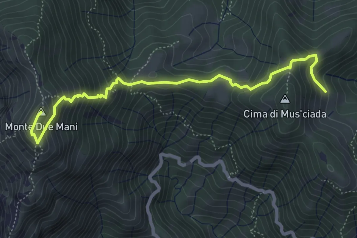
Medium · Summit
Casera di Musciada - Monte Due Mani
5.6 km · ↑ 485 m · 2 h 22 min · 11 km away
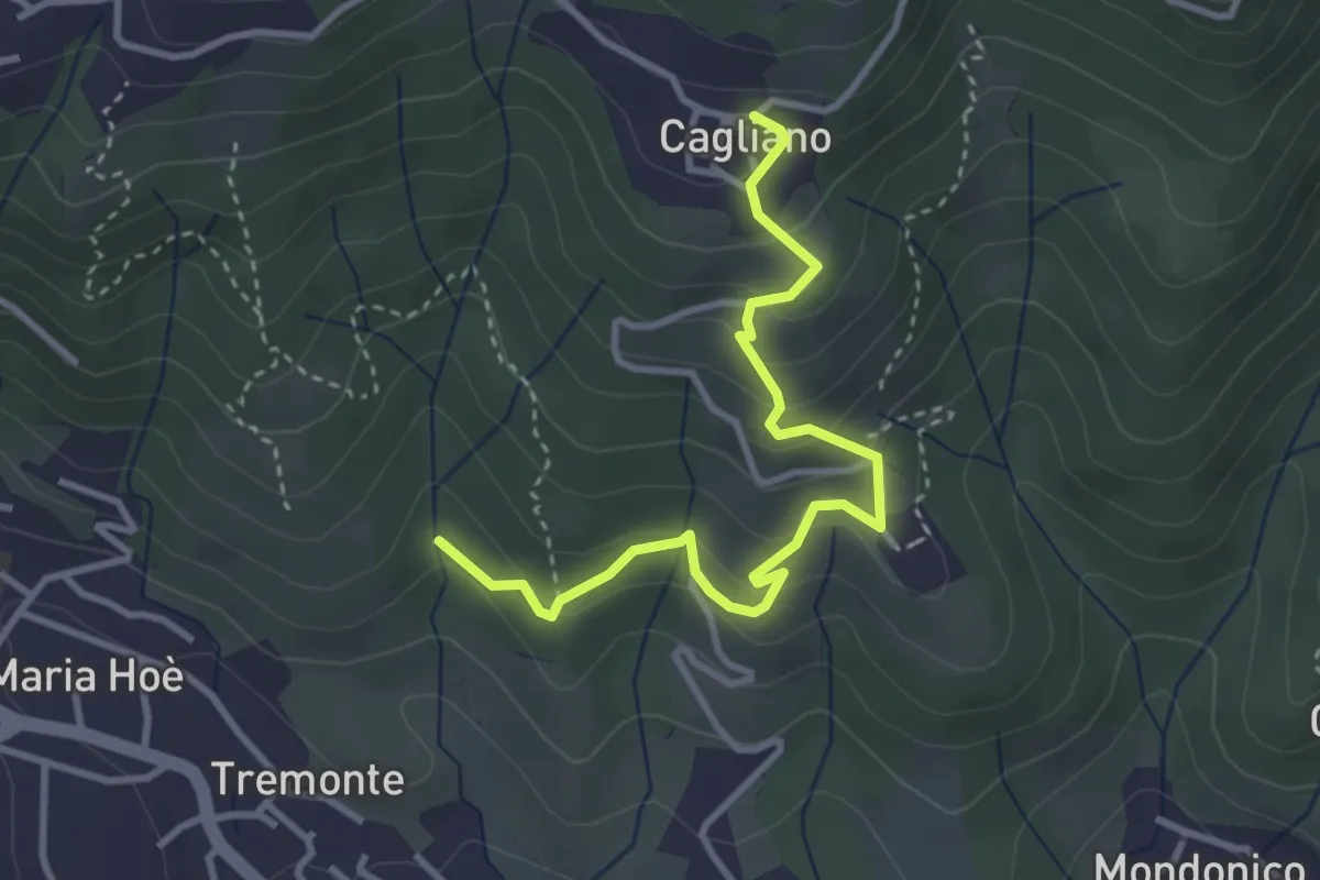
Easy · Trail
Ponte del Bordeà – Cagliano
3.6 km · ↑ 253 m · 1 h 25 min · 11 km away
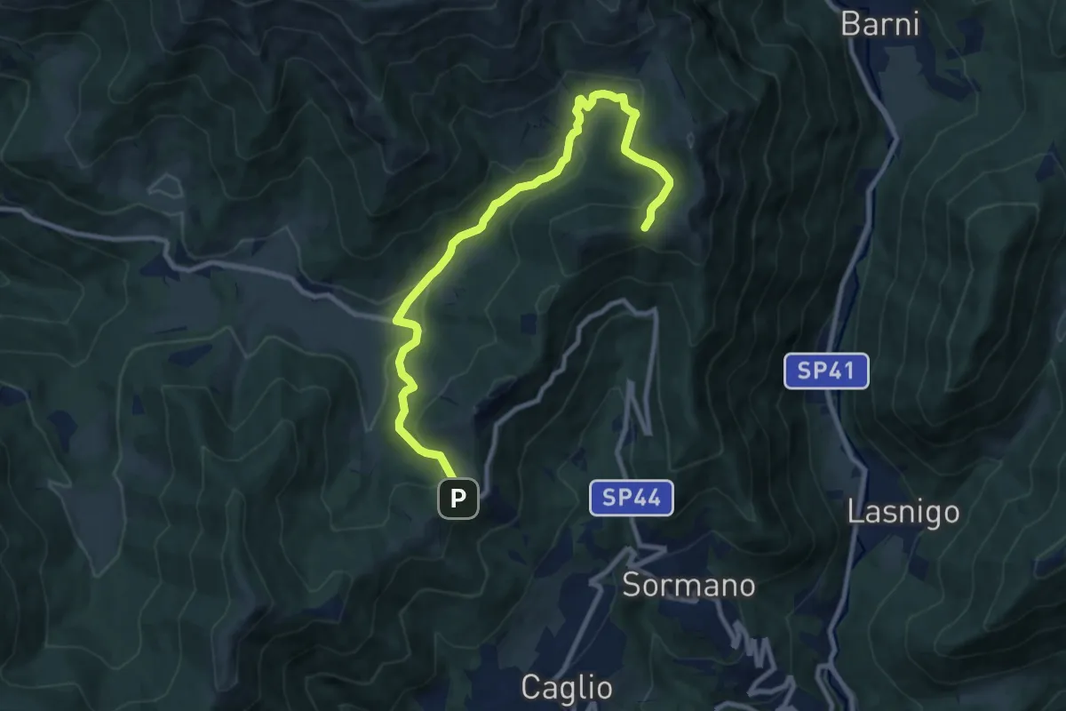
Medium · Trail
Colma di Sormano – Colma del Bosco
10.4 km · ↑ 419 m · 3 h 21 min · 11 km away
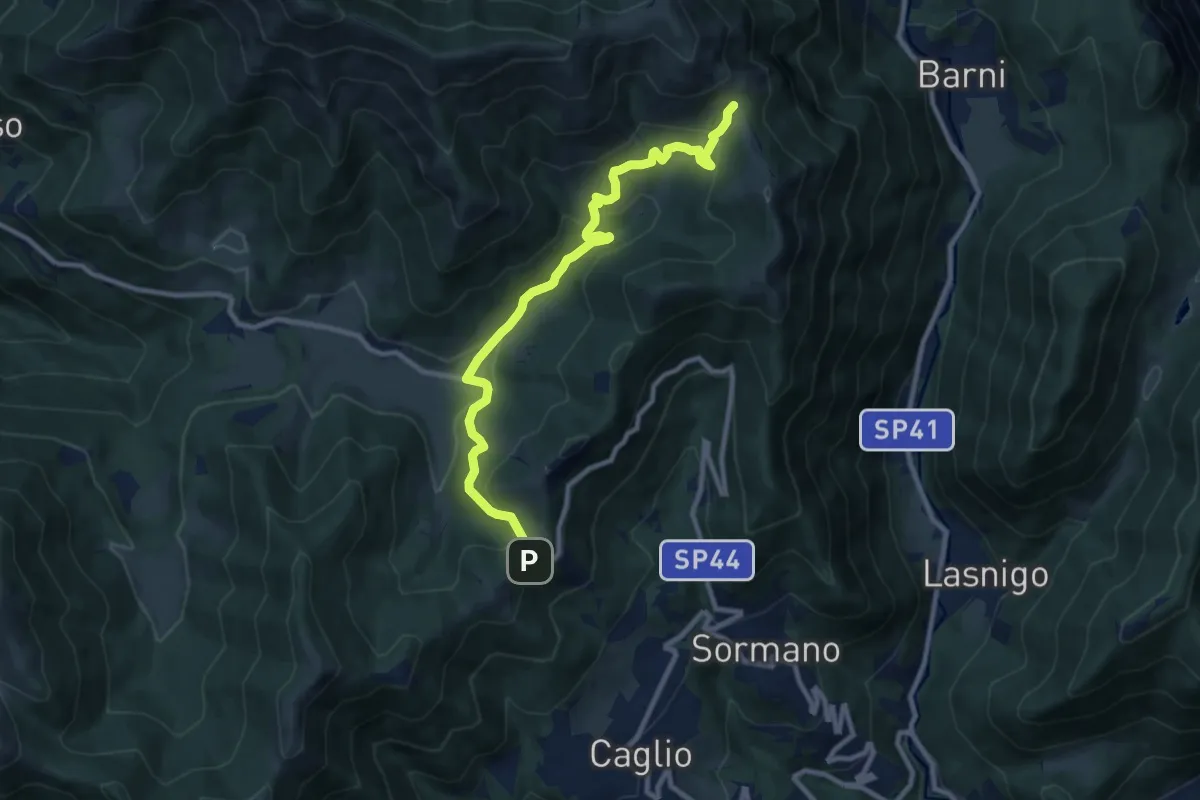
Medium · Trail
Colma di Sormano – Bocchetta di Spessola
10.1 km · ↑ 446 m · 3 h 21 min · 11 km away
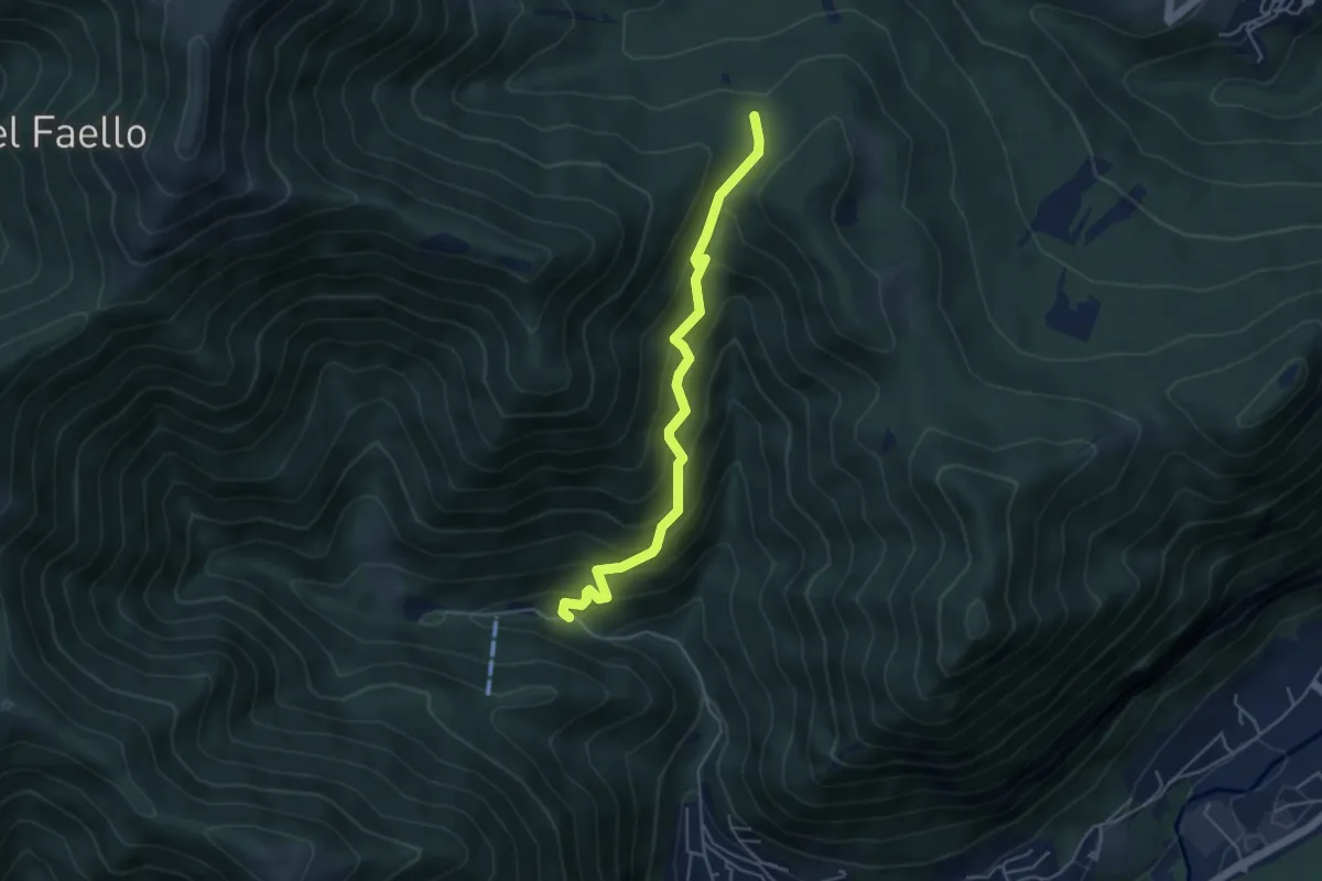
Medium · Trail
Forum Franciscanum – Bocchetta della Vallunga
4.6 km · ↑ 458 m · 2 h 5 min · 11 km away
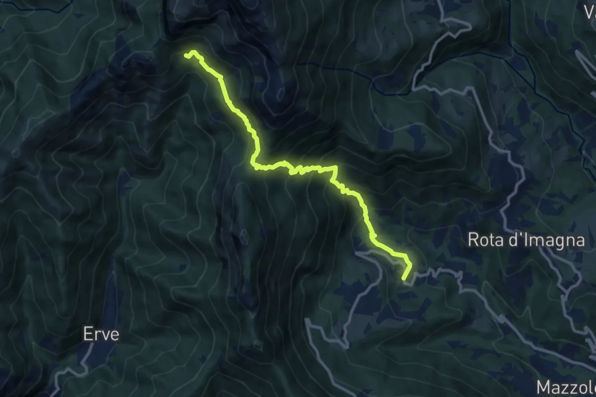
Demanding · Cabin
Valsecca – Capanna Alpinisti Monzesi
9.6 km · ↑ 868 m · 4 h 8 min · 11 km away