Trails near Valmadrera
362 hikes starting within 15 km, nearest first.
Nearest first, page 6 of 8
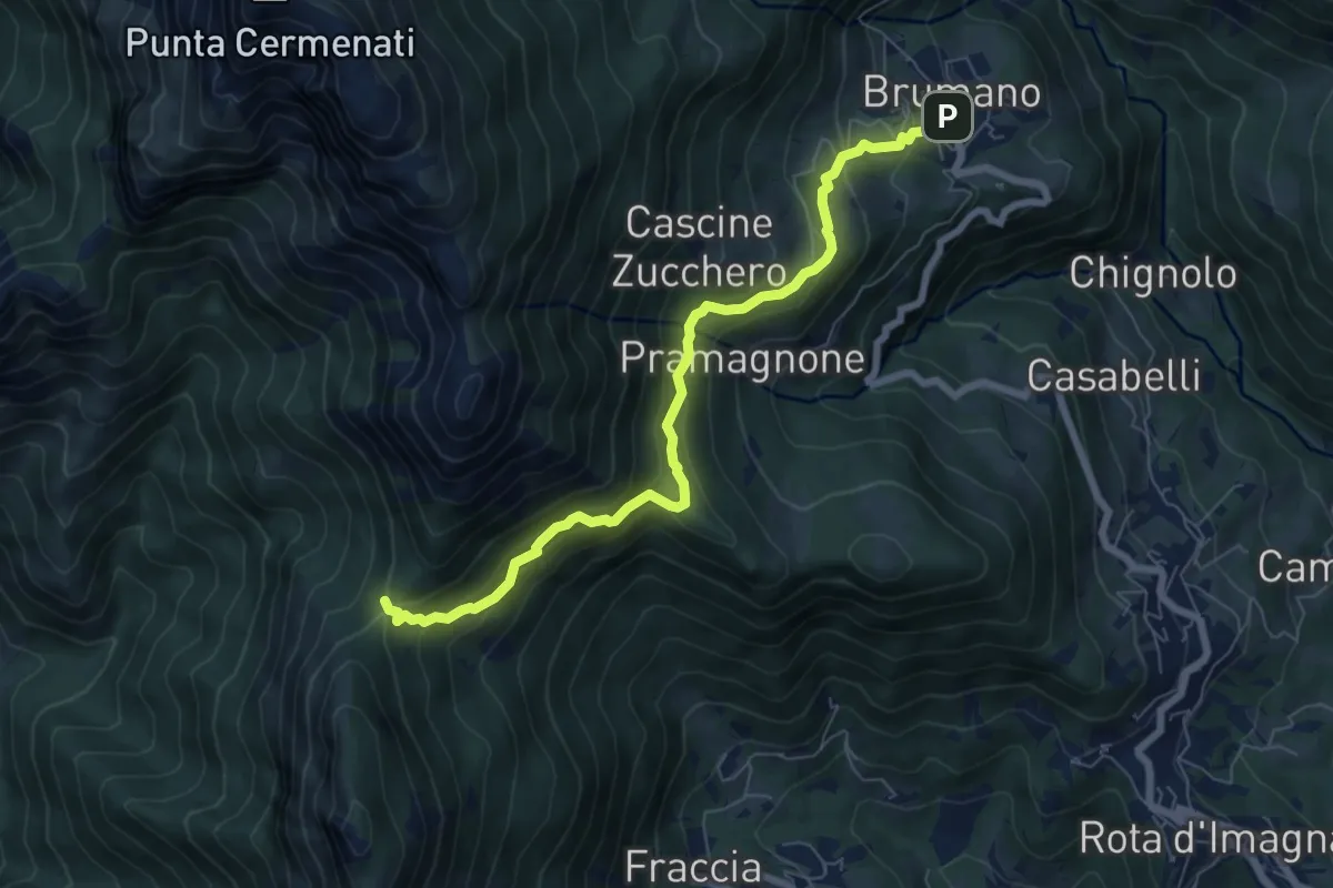
Medium · Trail
Brumano – La Passata
7.1 km · ↑ 520 m · 2 h 49 min · 11 km away
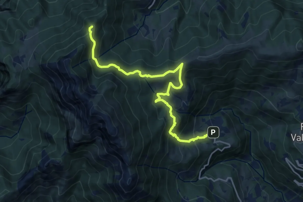
Demanding · Summit
Sentiero dei Laghi Basso - Tappa 1
13.1 km · ↑ 881 m · 5 h · 11 km away
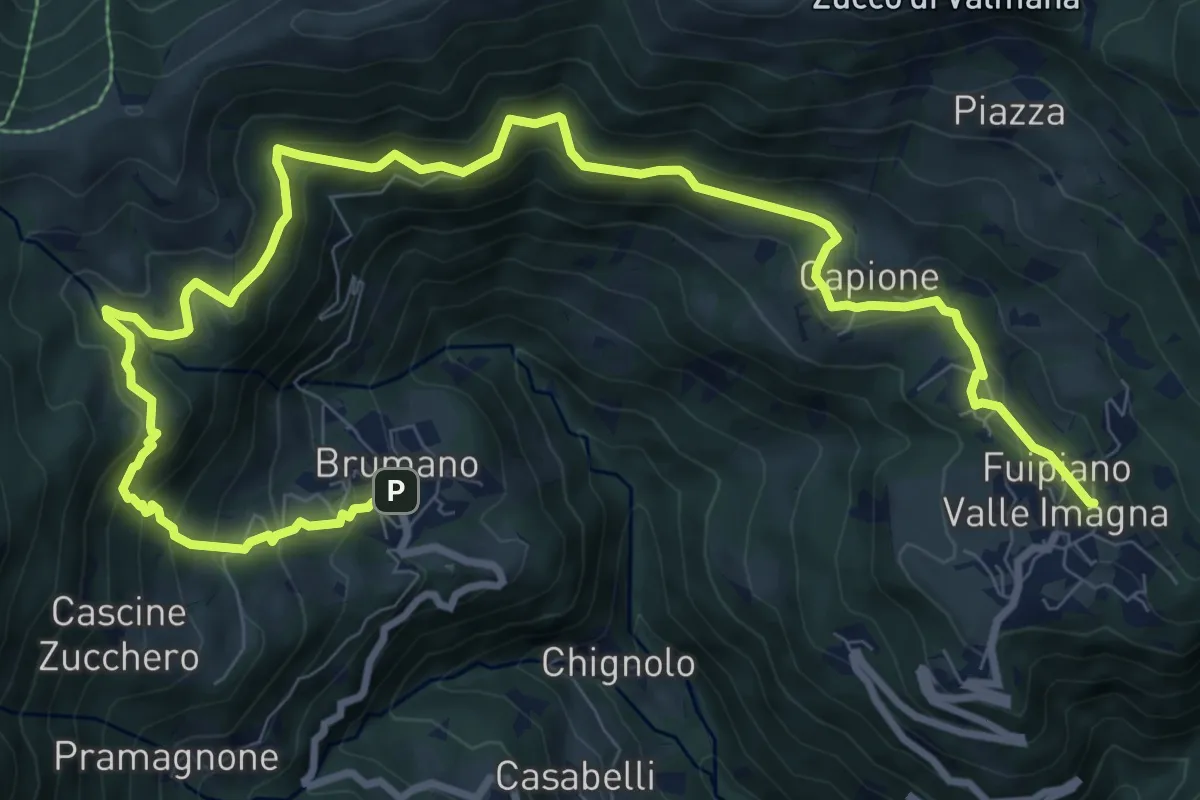
Demanding · Trail
Sentiero dei Laghi Basso- Tappa 2
13.6 km · ↑ 854 m · 5 h 3 min · 11 km away
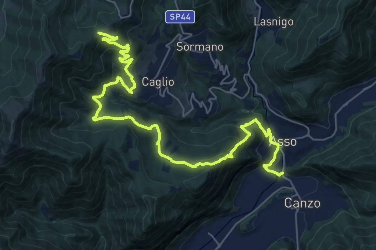
Demanding · Trail
Innesto Sentiero 300 – Innesto Sentiero 307V
22.6 km · ↑ 1139 m · 7 h 48 min · 11 km away
Expert · Trail
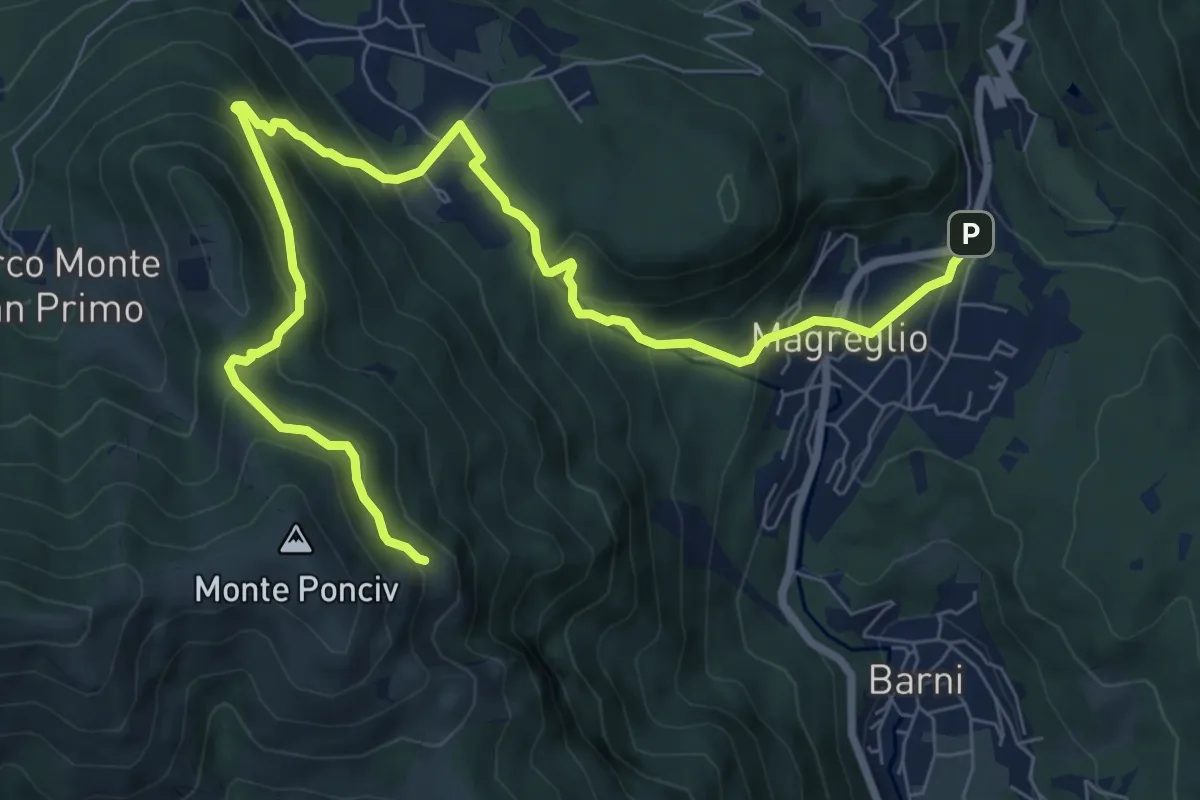
Madonna del Ghisallo (Magreglio) – Monte Ponciv
10.1 km · ↑ 657 m · 3 h 49 min · 11 km away
Medium · Trail
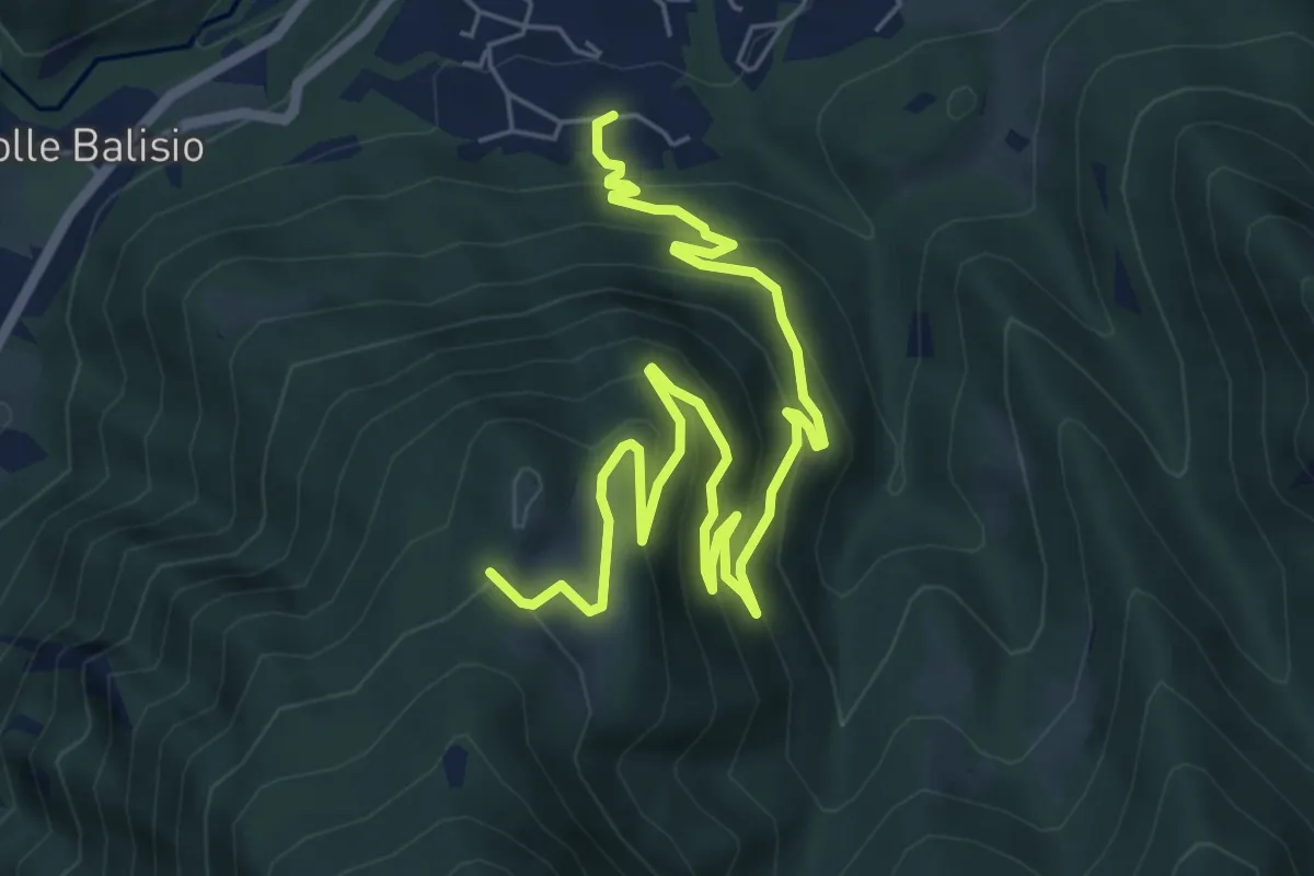
Casere di Maggio – La Foppa
8.4 km · ↑ 555 m · 3 h 11 min · 11 km away
Medium · Summit
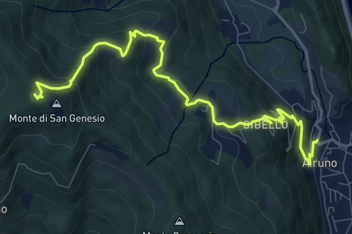
Airuno (FS) – Monte di San Genesio
9.2 km · ↑ 619 m · 3 h 31 min · 11 km away
Medium · Cabin
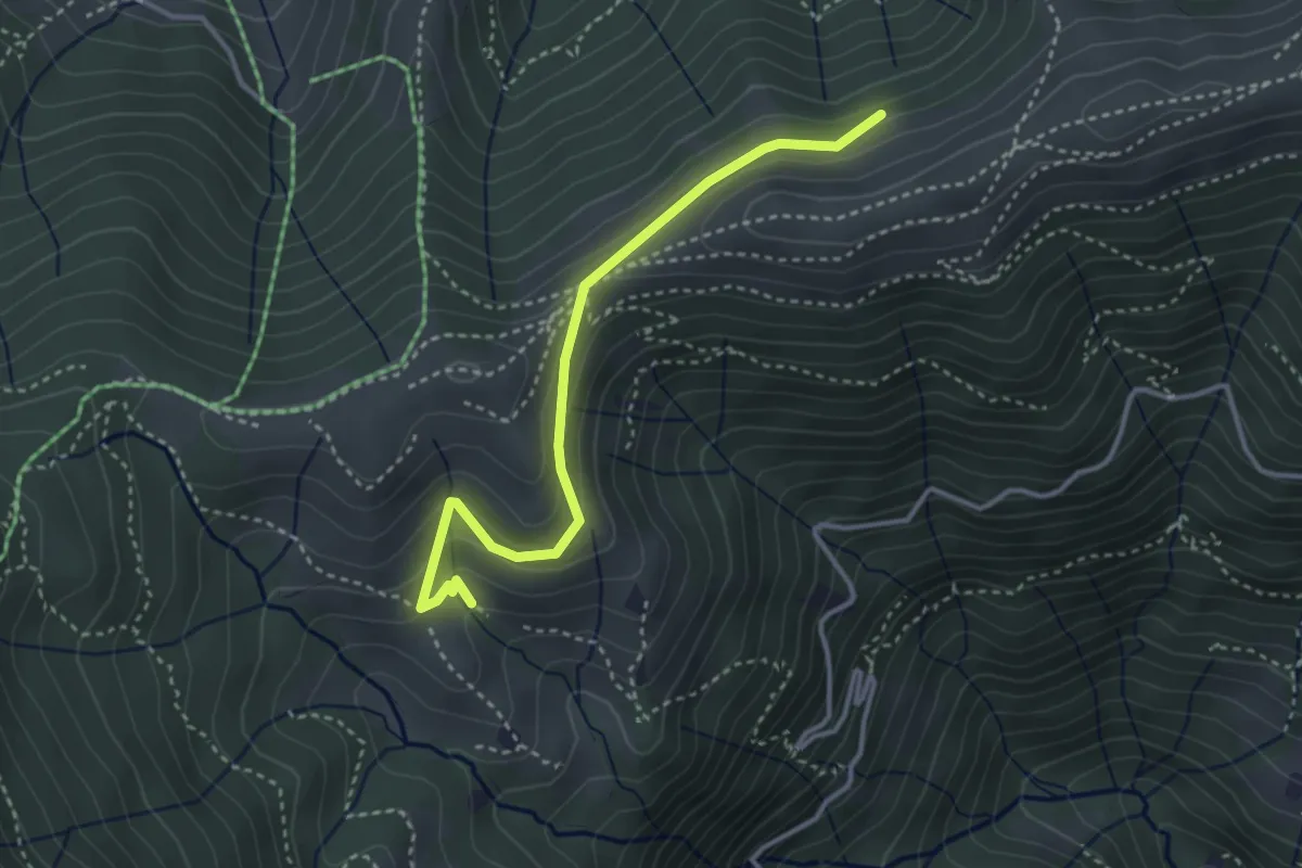
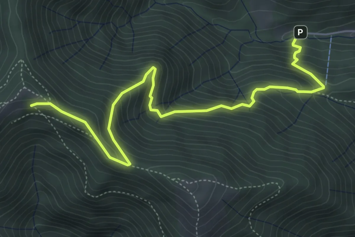
Sentiero dei Grandi Alberi - Variante per il Foo del Büs
3.5 km · ↑ 179 m · 1 h 13 min · 11 km away
Medium · Cabin
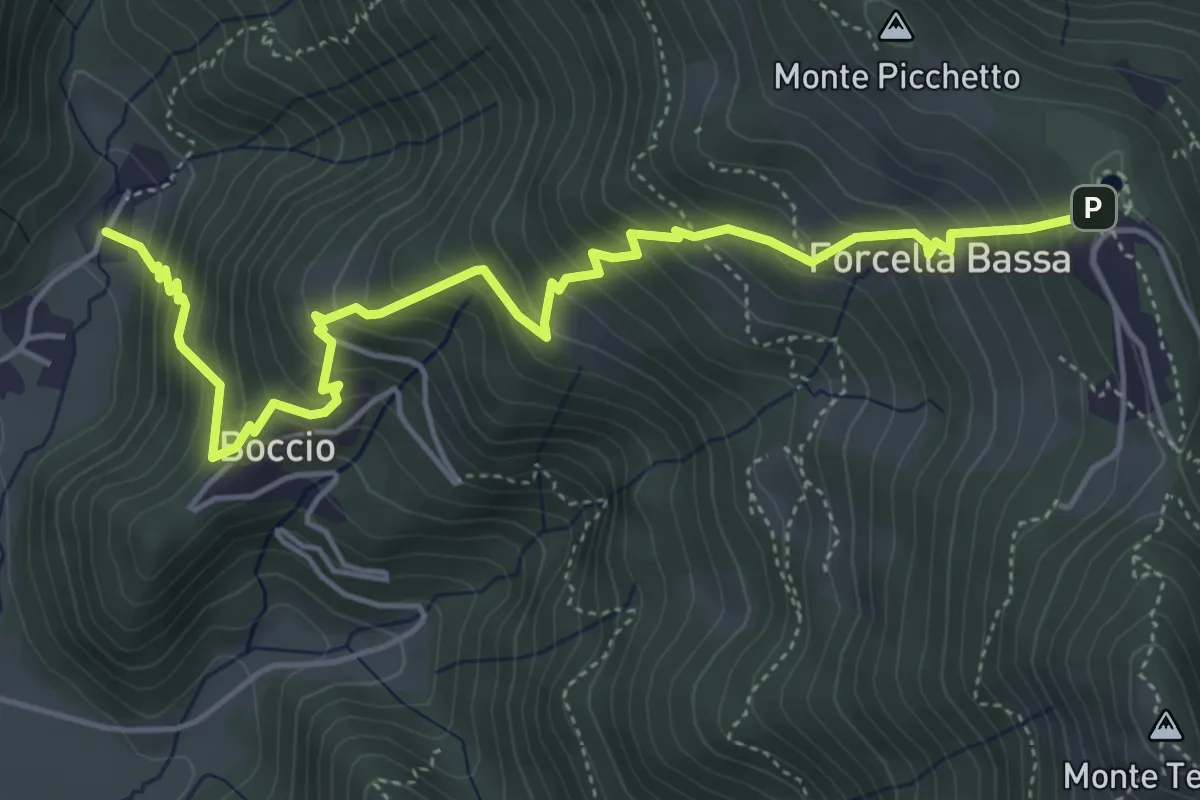
Alpe del Prina – Rifugio Capanna Mara
6.2 km · ↑ 586 m · 2 h 44 min · 11 km away
Medium · Trail
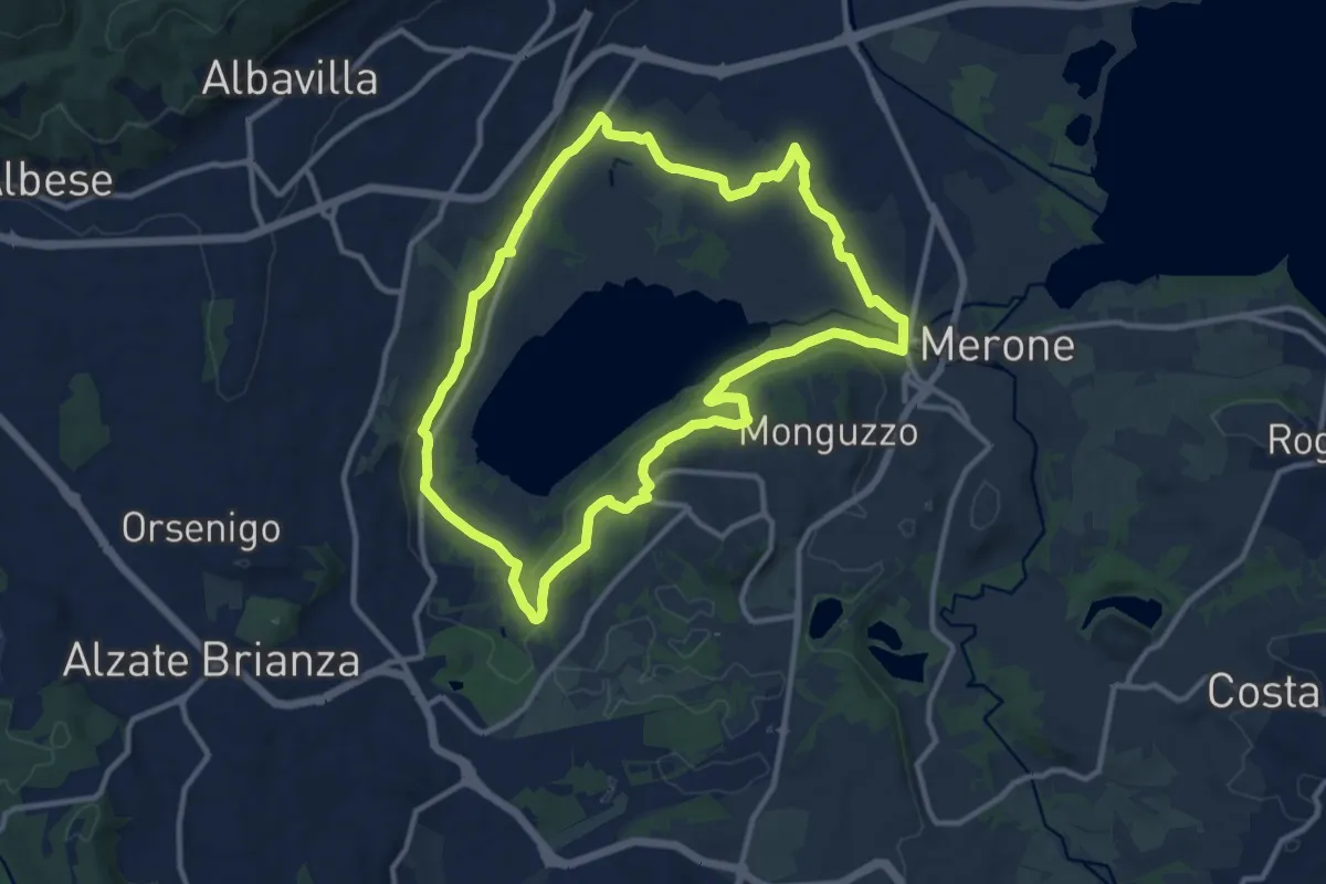
Carenno – Forcella Alta
5.8 km · ↑ 631 m · 2 h 45 min · 11 km away
Medium · Trail
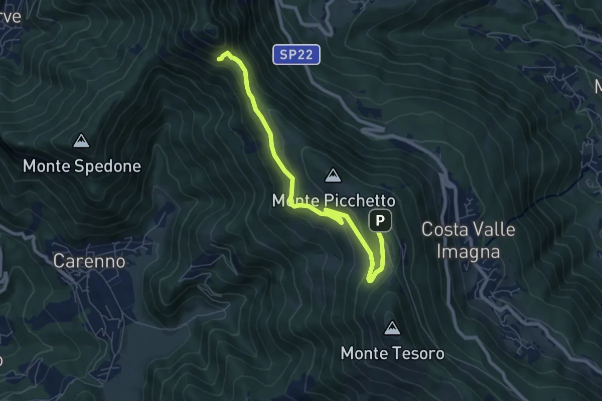
Attorno al lago di Alserio
11.3 km · ↑ 162 m · 3 h 11 min · 11 km away
Medium · Trail
Percorso didattico naturalistico del Pertüs
7.0 km · ↑ 262 m · 2 h 13 min · 11 km away
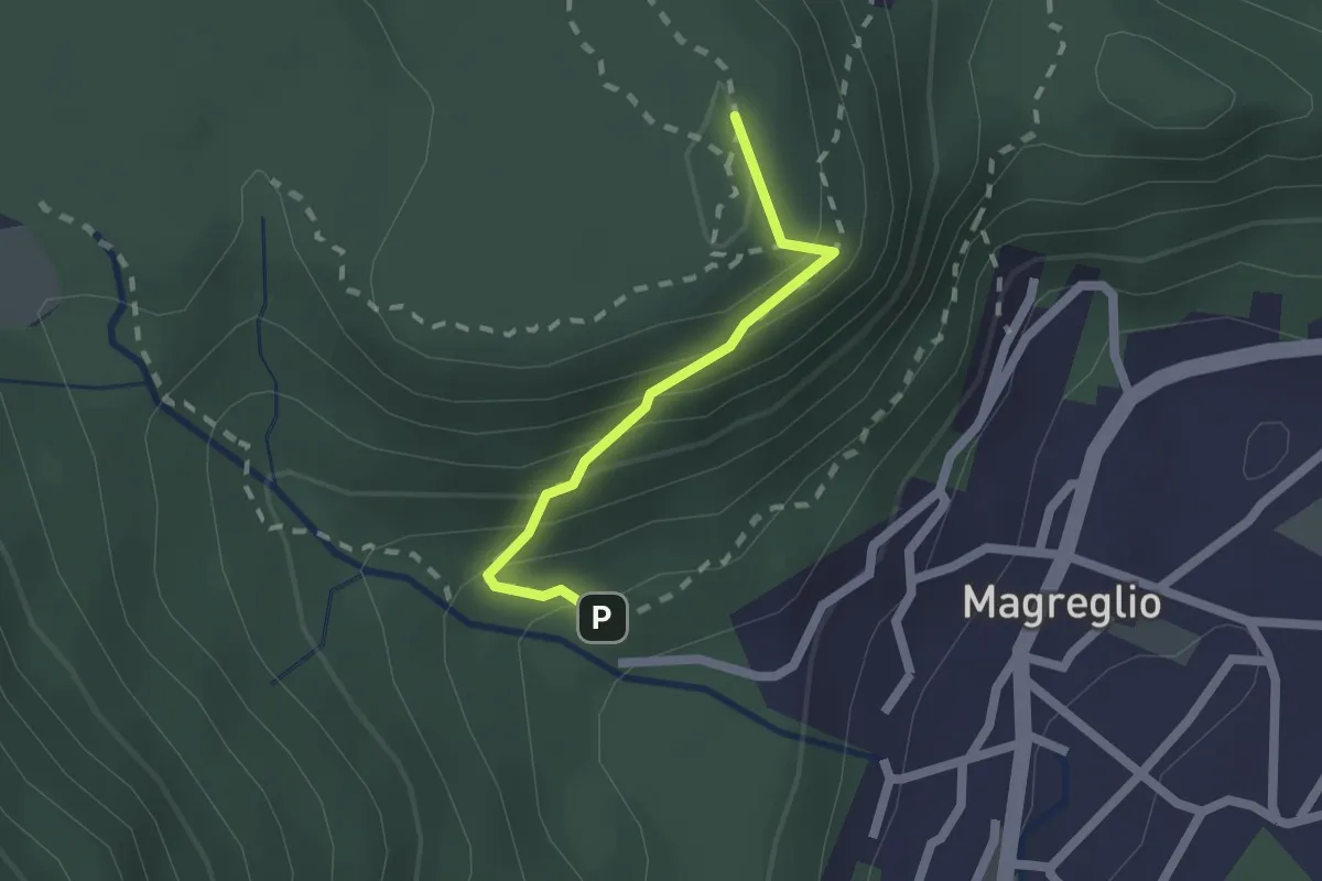
Medium · Summit
Piano Rancio – Castagneti
1.6 km · ↑ 158 m · 43 min · 11 km away
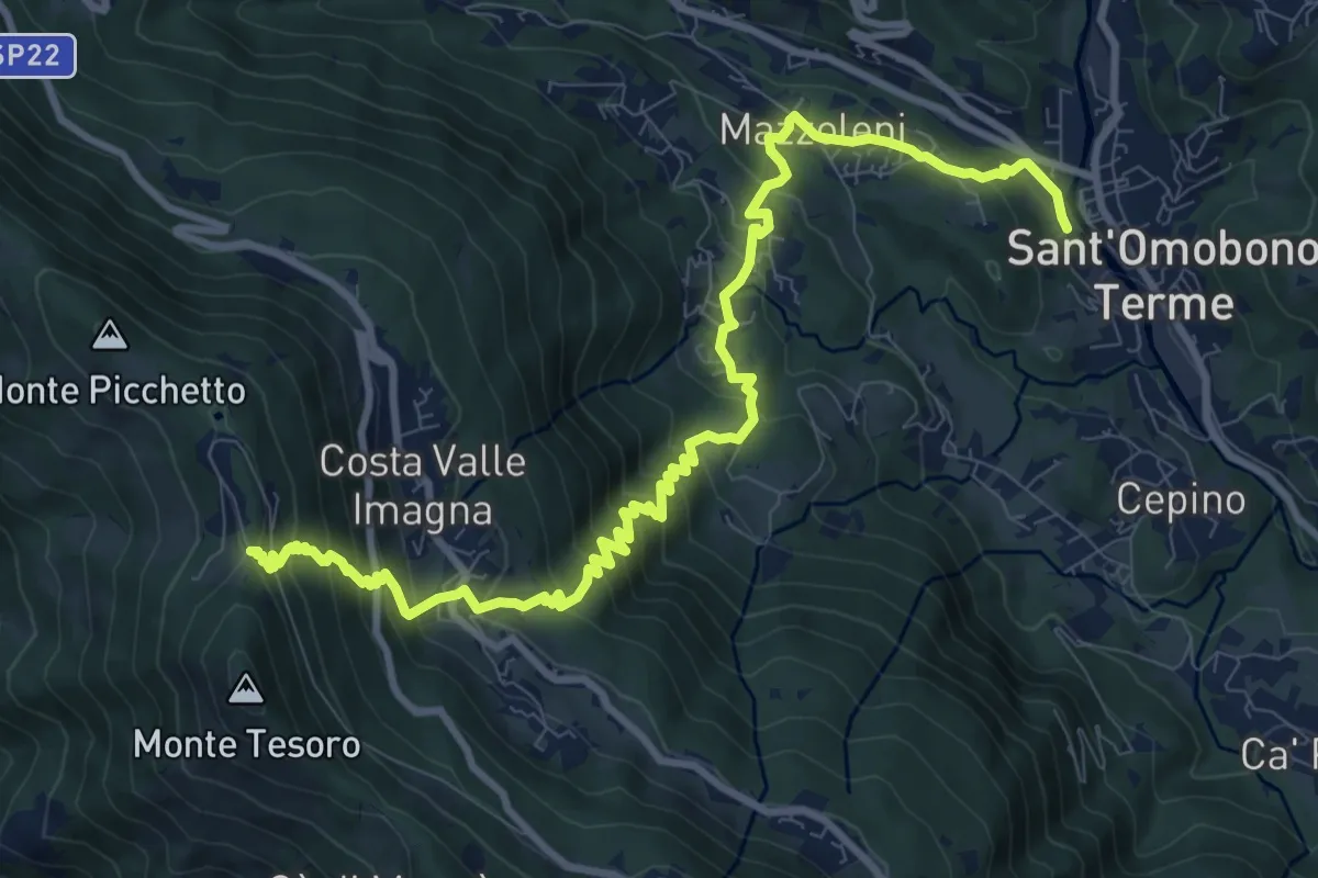
Demanding · Trail
Ca' Mazzoleni – Forcella Alta
12.2 km · ↑ 902 m · 4 h 50 min · 12 km away
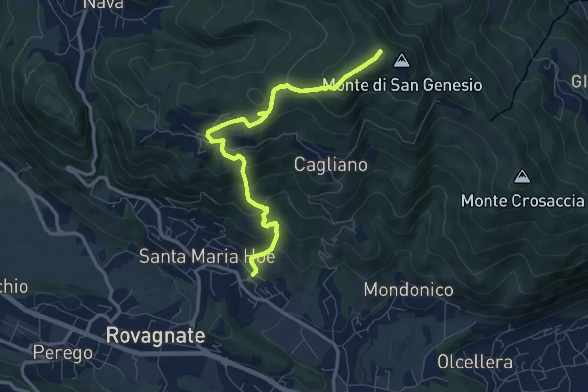
Medium · Summit
Tremonte – Monte di San Genesio
7.4 km · ↑ 475 m · 2 h 47 min · 12 km away
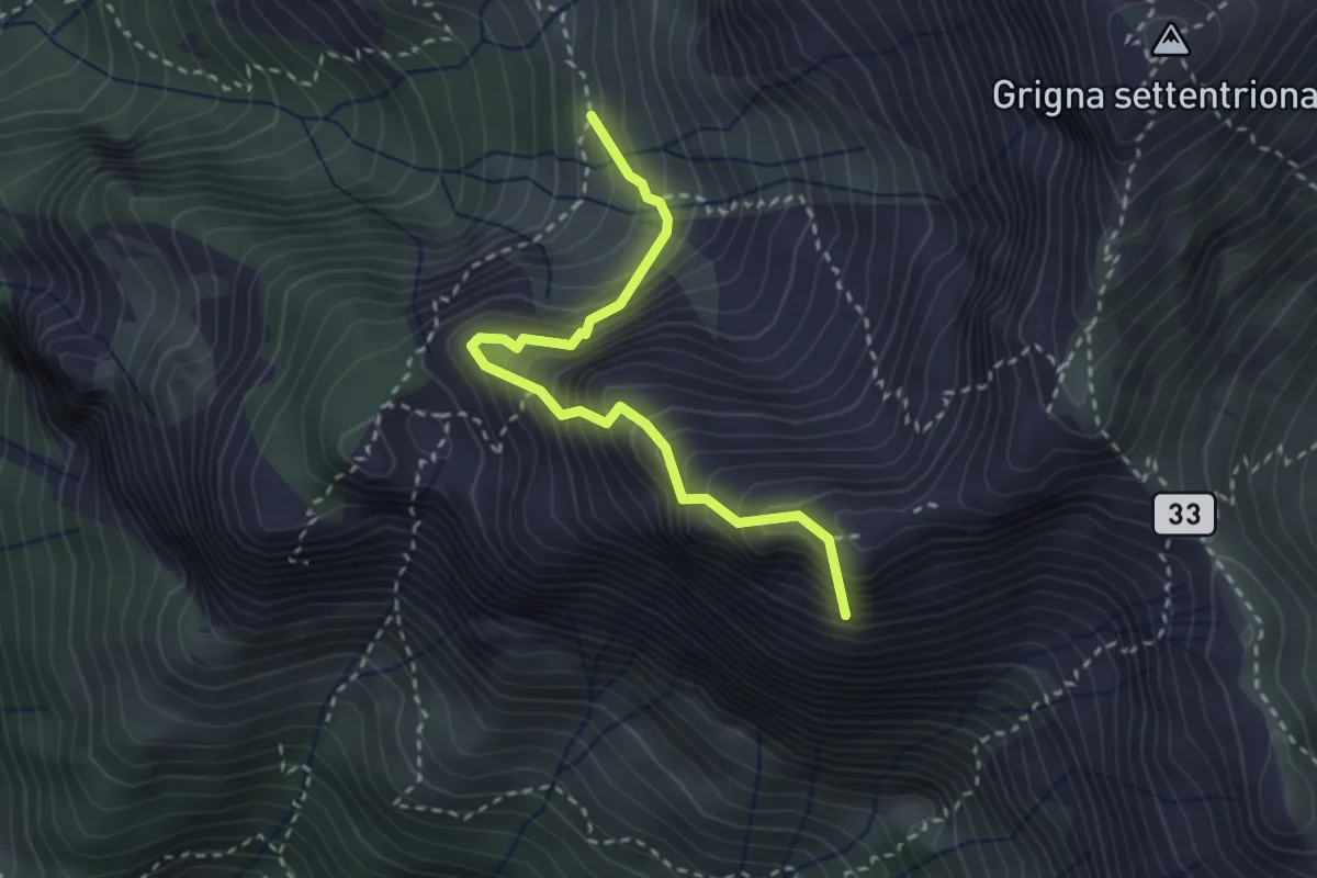
Expert · Summit
Ferrata del Sasso Carbonari
2.9 km · ↑ 483 m · 1 h 44 min · 12 km away
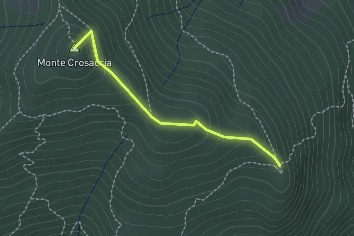
Easy · Summit
Crosaccia – Campsirago
1.7 km · ↑ 100 m · 37 min · 12 km away
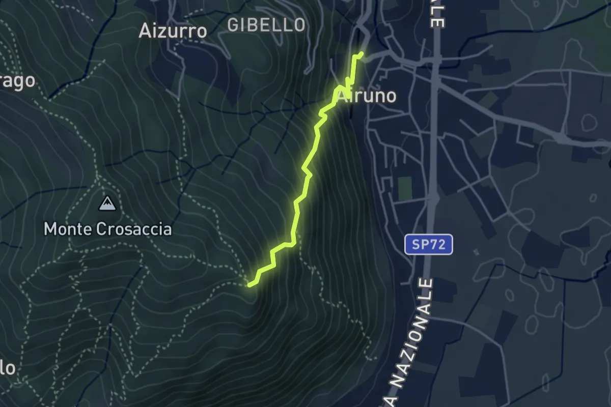
Medium · Trail
Airuno (FS) – Crosaccia
2.9 km · ↑ 356 m · 1 h 27 min · 12 km away
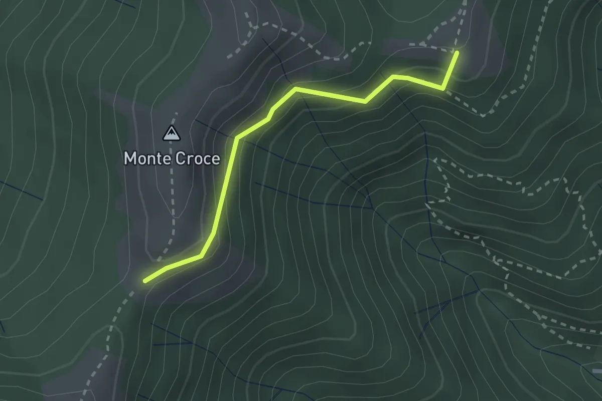
Medium · Summit
Ca' del Boschet – Bocchetta di Caglio
2.3 km · ↑ 128 m · 49 min · 12 km away
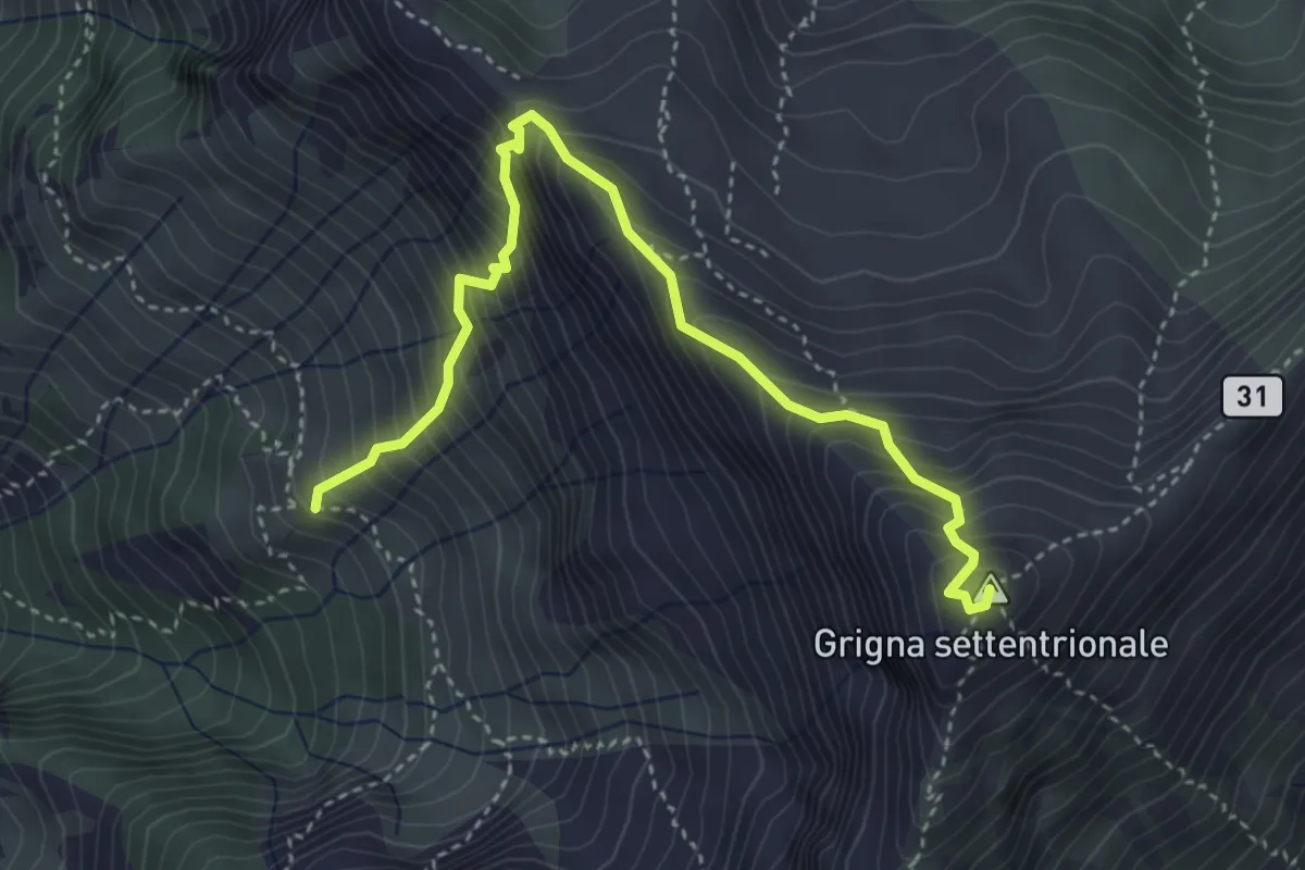
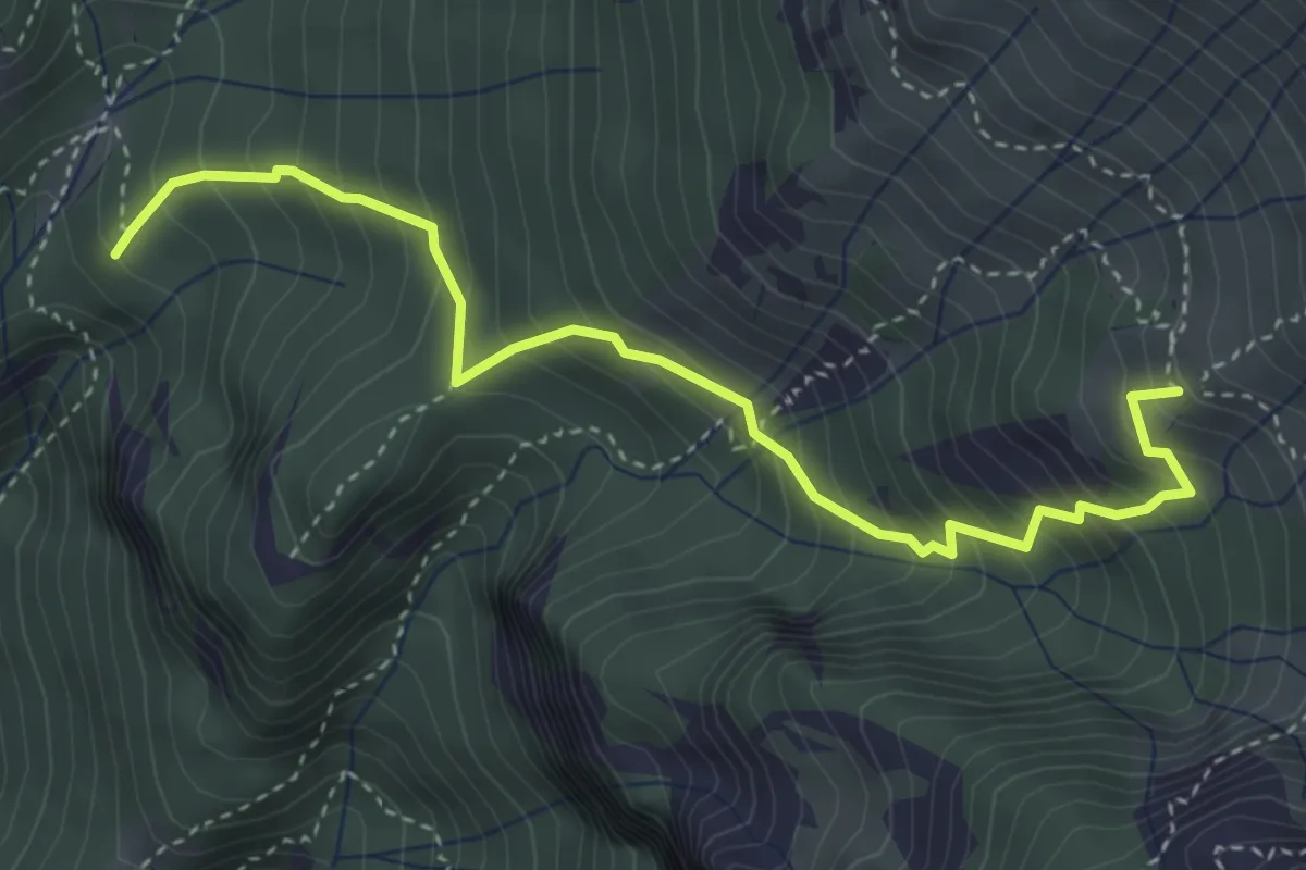
Demanding · Summit
Via Guzzi
4.3 km · ↑ 677 m · 2 h 29 min · 12 km away
Medium · Summit
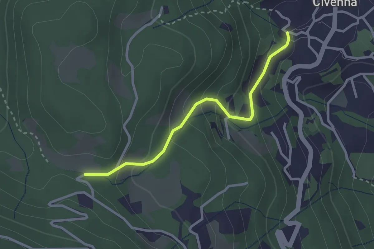
Alpe Calivazzo – Rifugio Bietti
4.1 km · ↑ 544 m · 2 h 9 min · 12 km away
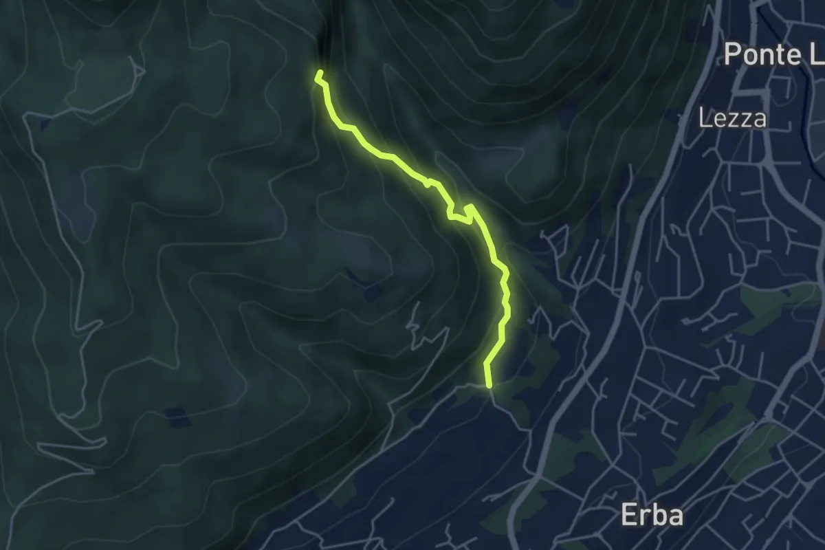
Easy · Trail
Civenna – C.na Barco (Bellagio)
2.4 km · ↑ 185 m · 58 min · 12 km away
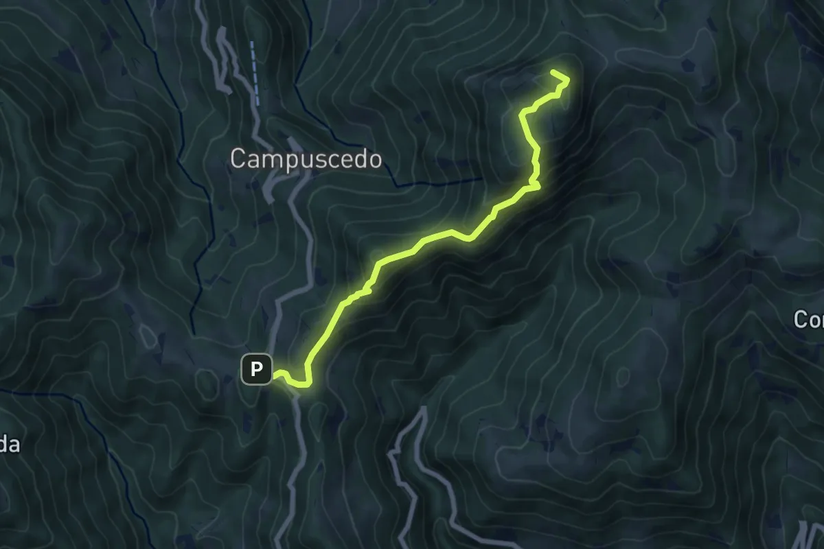
Demanding · Trail
C.na Ginocchio – Buco del Piombo
3.7 km · ↑ 335 m · 1 h 36 min · 12 km away
Medium · Summit
Culmine San Pietro – Area di sosta Maesimo
6.4 km · ↑ 504 m · 2 h 36 min · 12 km away
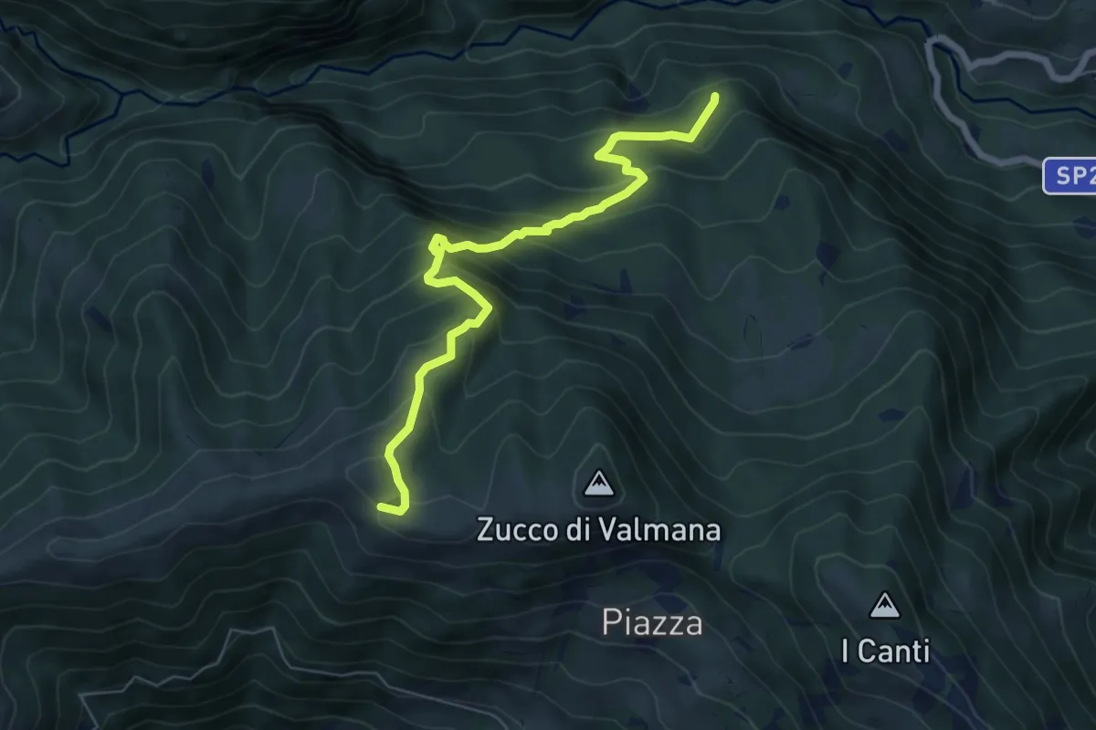
Expert · Trail
Incrocio 569B (Ponte Lavina) – Alpe Costa del Palio
6.6 km · ↑ 579 m · 2 h 49 min · 12 km away
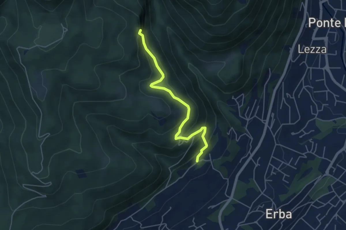
Medium · Trail
C.na Paradiso – Buco del Piombo
4.4 km · ↑ 324 m · 1 h 44 min · 12 km away
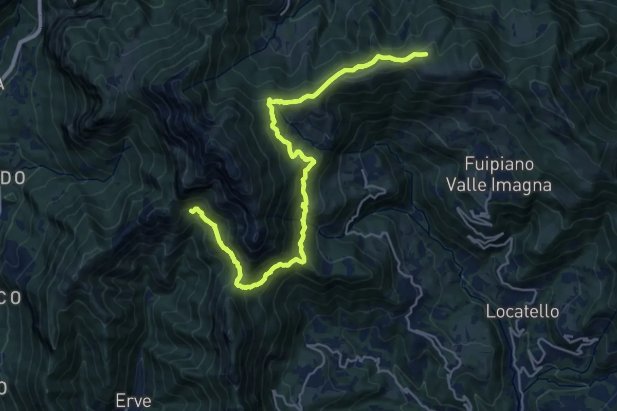
Demanding · Cabin
CamminaForeste - Tappa 9D
18.5 km · ↑ 1177 m · 6 h 55 min · 12 km away
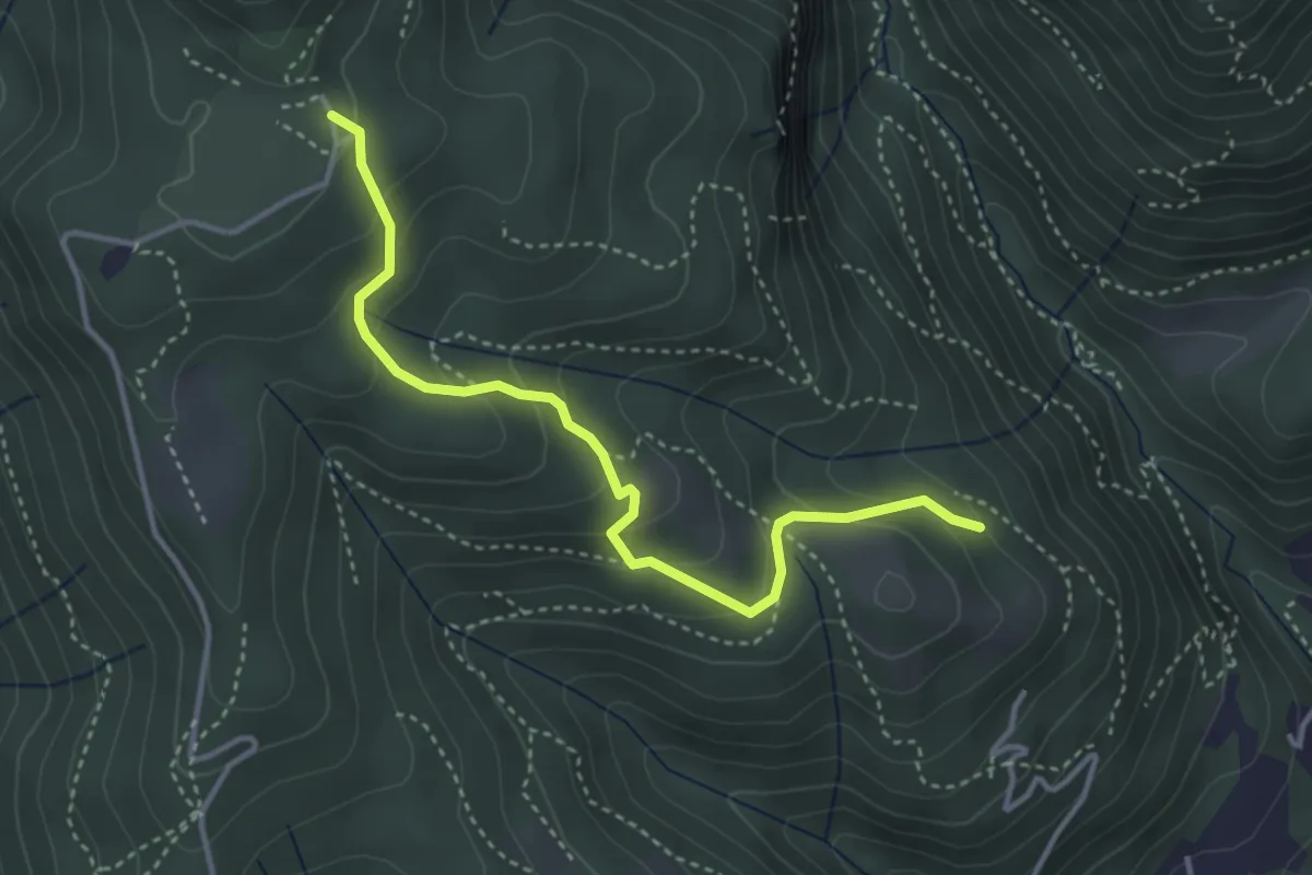
Medium · Trail
Cardögia – Alpe del Vicerè
3.8 km · ↑ 238 m · 1 h 25 min · 12 km away
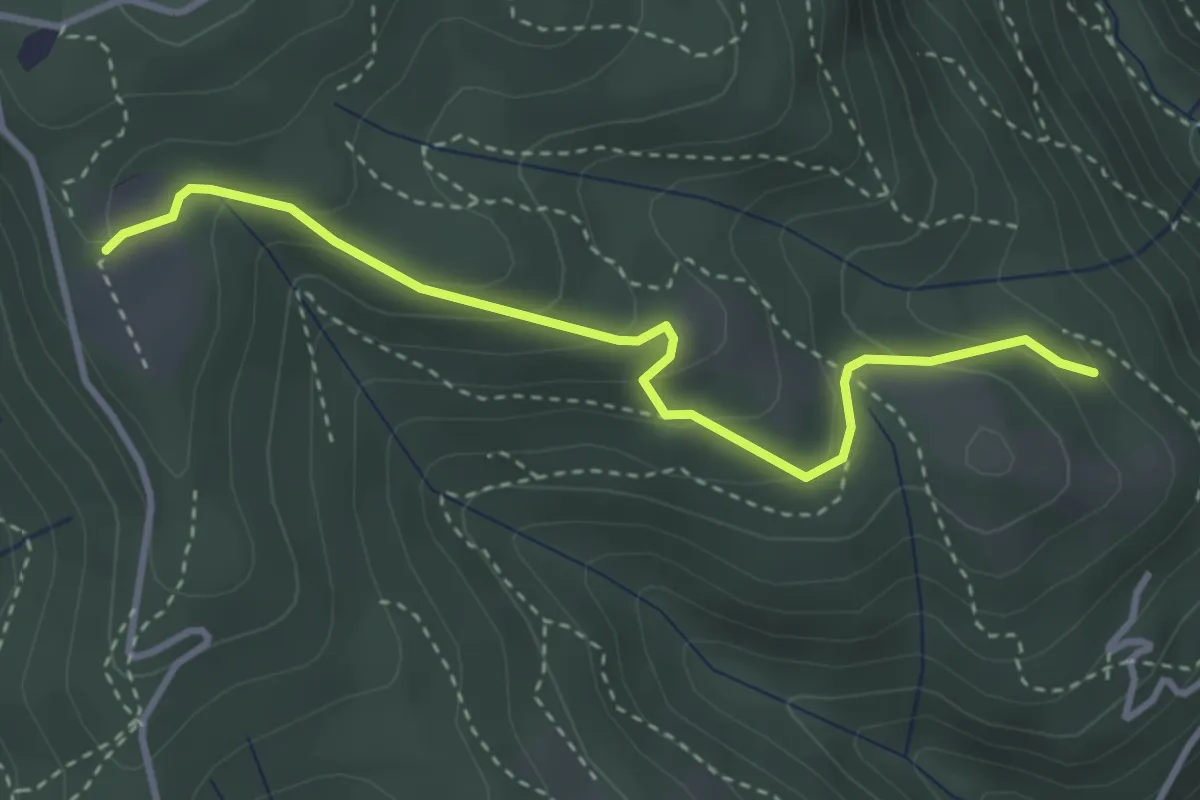
Easy · Trail
Cardögia – Ex Albergo la Salute
3.5 km · ↑ 186 m · 1 h 14 min · 12 km away
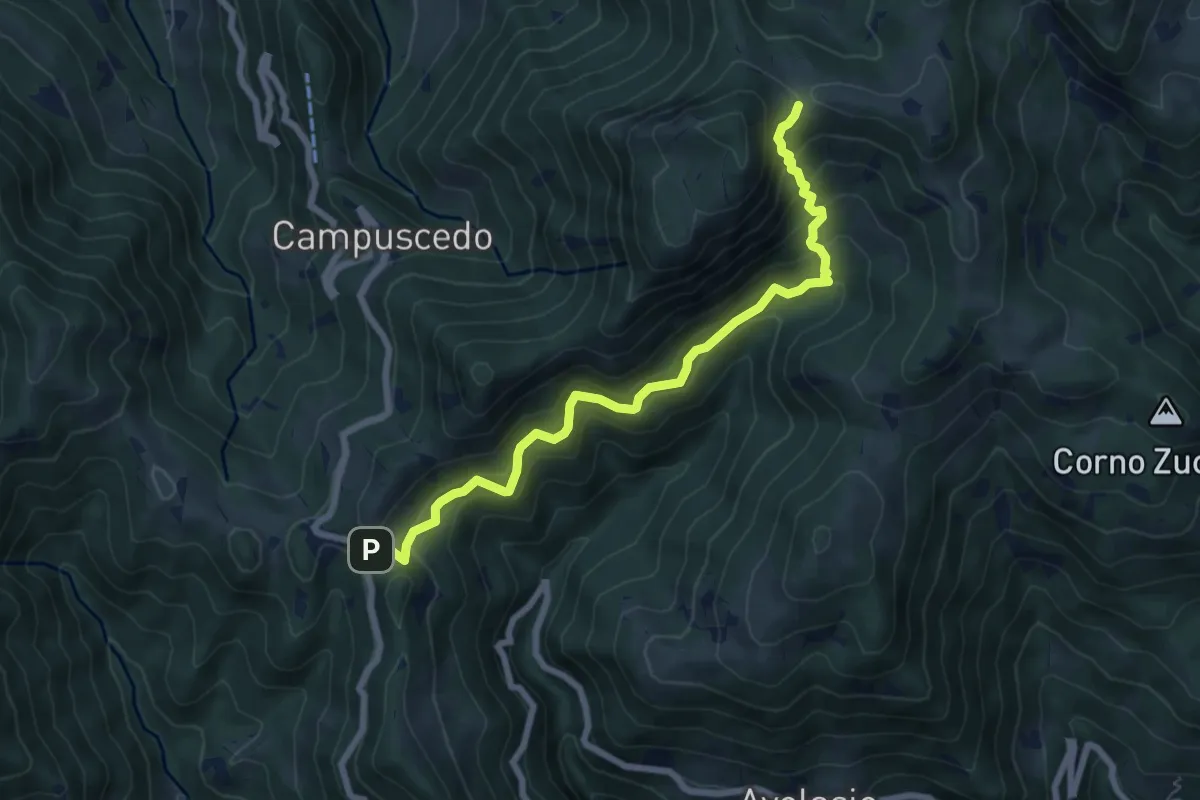
Medium · Trail
Innesto 730 – Area di sosta Maesimo
7.2 km · ↑ 661 m · 3 h 9 min · 12 km away
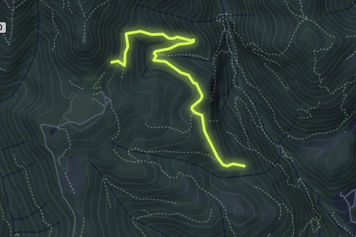
Medium · Trail
Praa Sciresöö – Rifugio Cacciatori
4.8 km · ↑ 479 m · 2 h 10 min · 12 km away
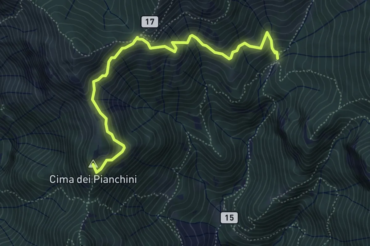
Medium · Summit
Somana – Alpe di Calivazzo
5.8 km · ↑ 549 m · 2 h 34 min · 12 km away
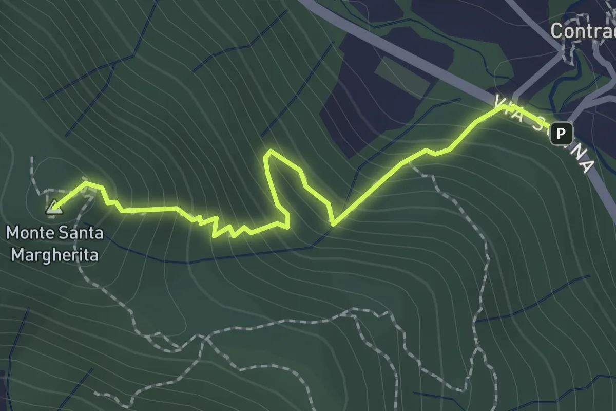
Medium · Summit
Contrada (Torre de' Busi) – S. Margherita (Monte Marenzo)
2.2 km · ↑ 259 m · 1 h 5 min · 12 km away
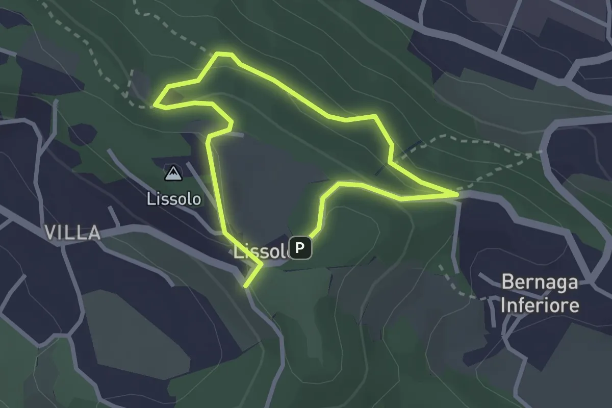
Easy · Summit
Sentiero dei Proverbi
2.0 km · ↑ 74 m · 39 min · 13 km away
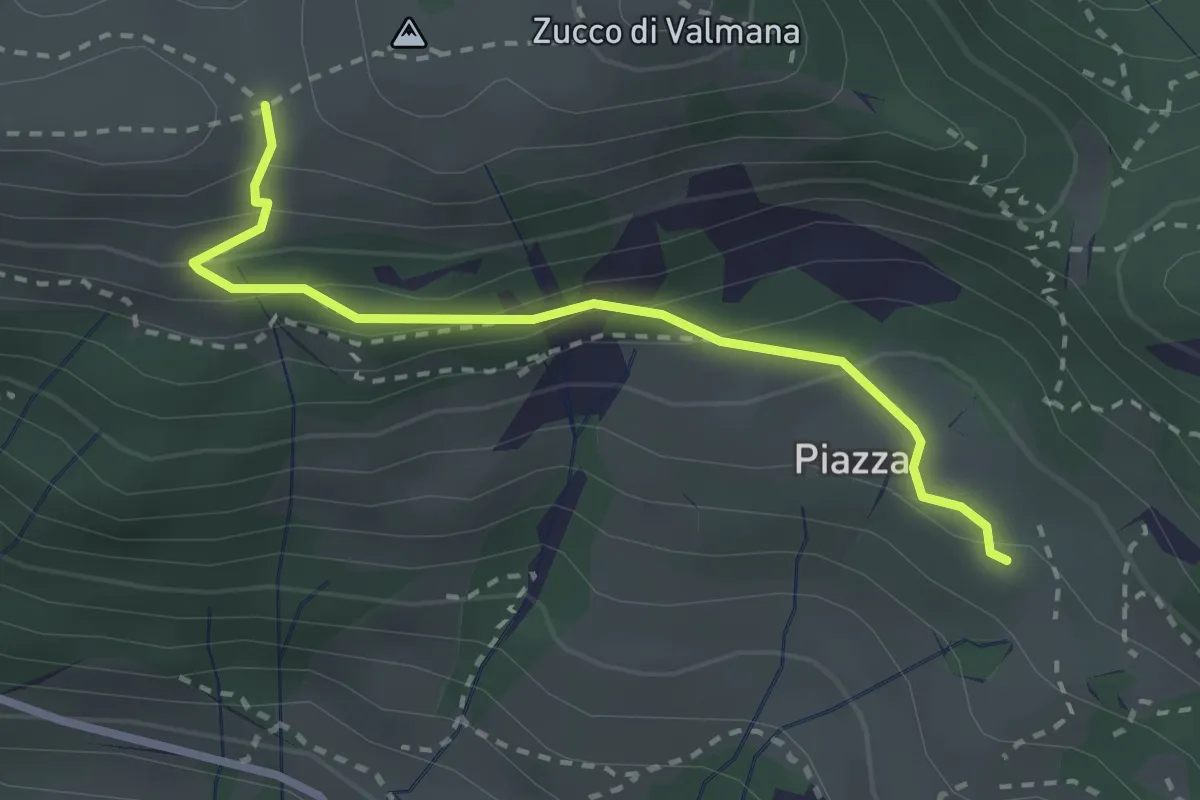
Easy · Trail
Fuipiano – Forcella di Valmana
2.6 km · ↑ 183 m · 1 h 1 min · 13 km away
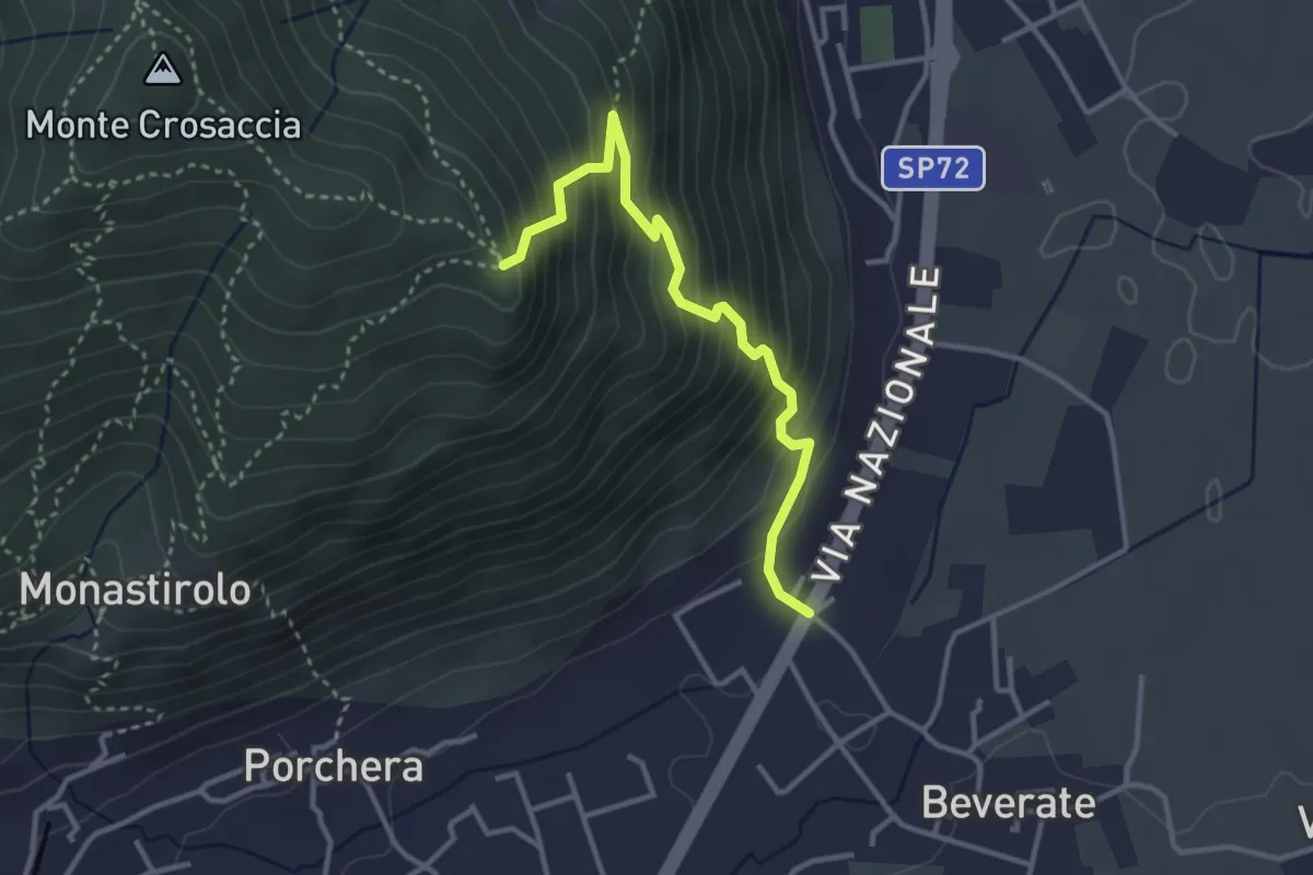
Medium · Trail
Beverate – Crosaccia
3.3 km · ↑ 384 m · 1 h 37 min · 13 km away
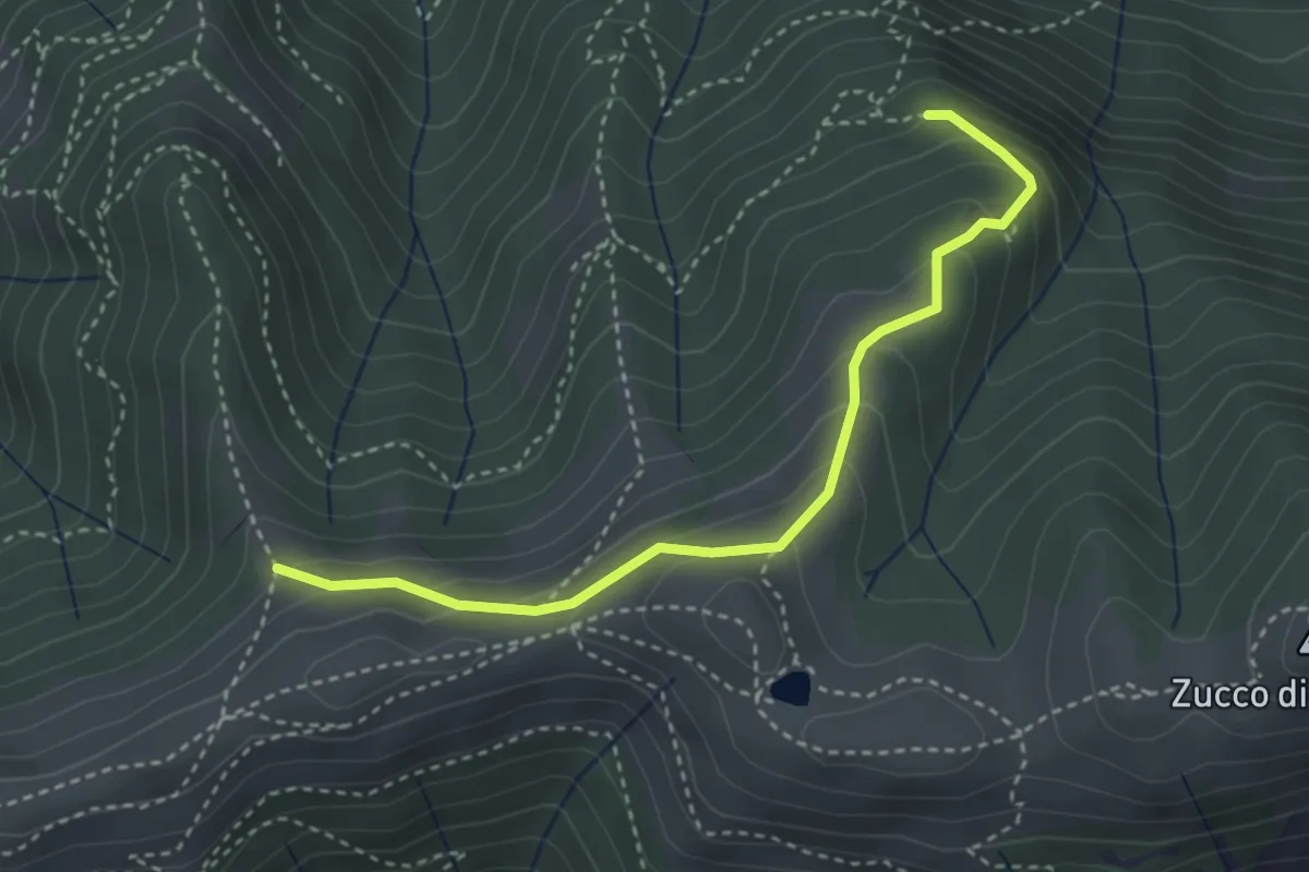
Medium · Trail
Sentiero dei Grandi Alberi - Variante per Alpeggio Costa del Palio e per il Foo di Valmana
3.5 km · ↑ 264 m · 1 h 23 min · 13 km away
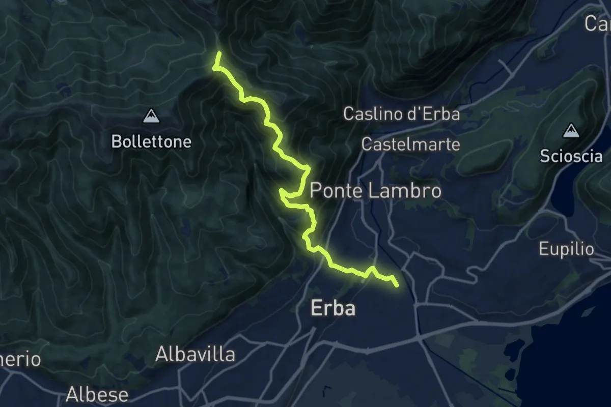
Demanding · Trail
Stazione di Erba – Bocchetta di Lemma
13.9 km · ↑ 1049 m · 5 h 34 min · 13 km away
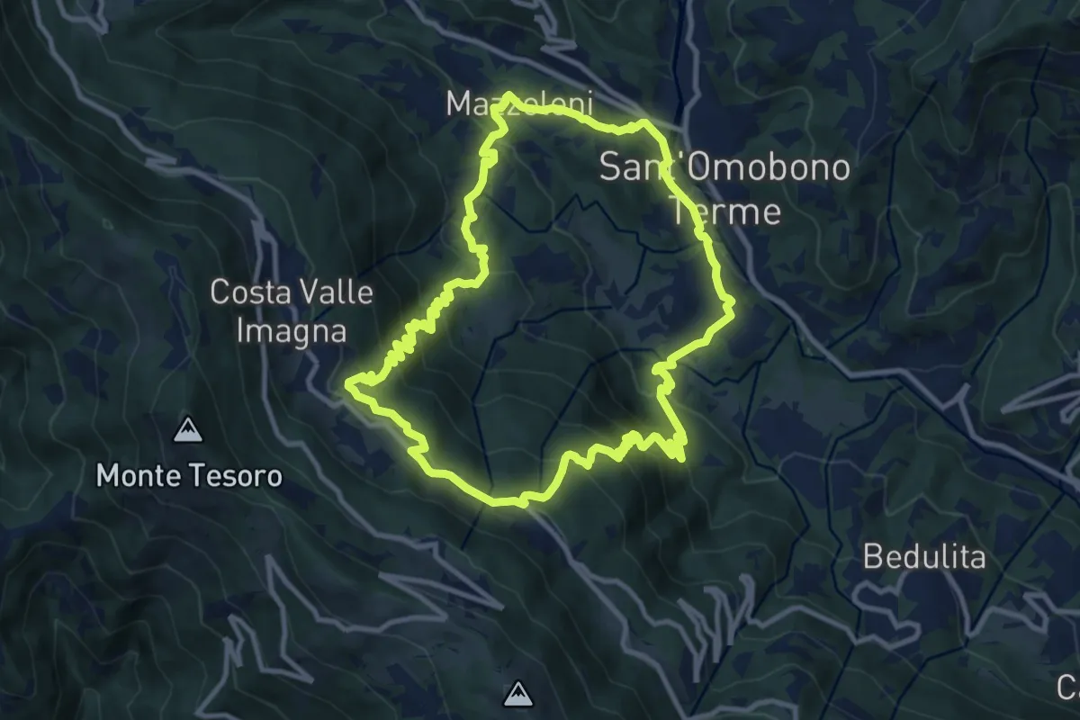
Medium · Trail
Sentiero del Dono
10.7 km · ↑ 707 m · 4 h 12 min · 13 km away
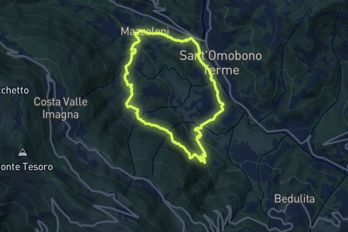
Medium · Trail
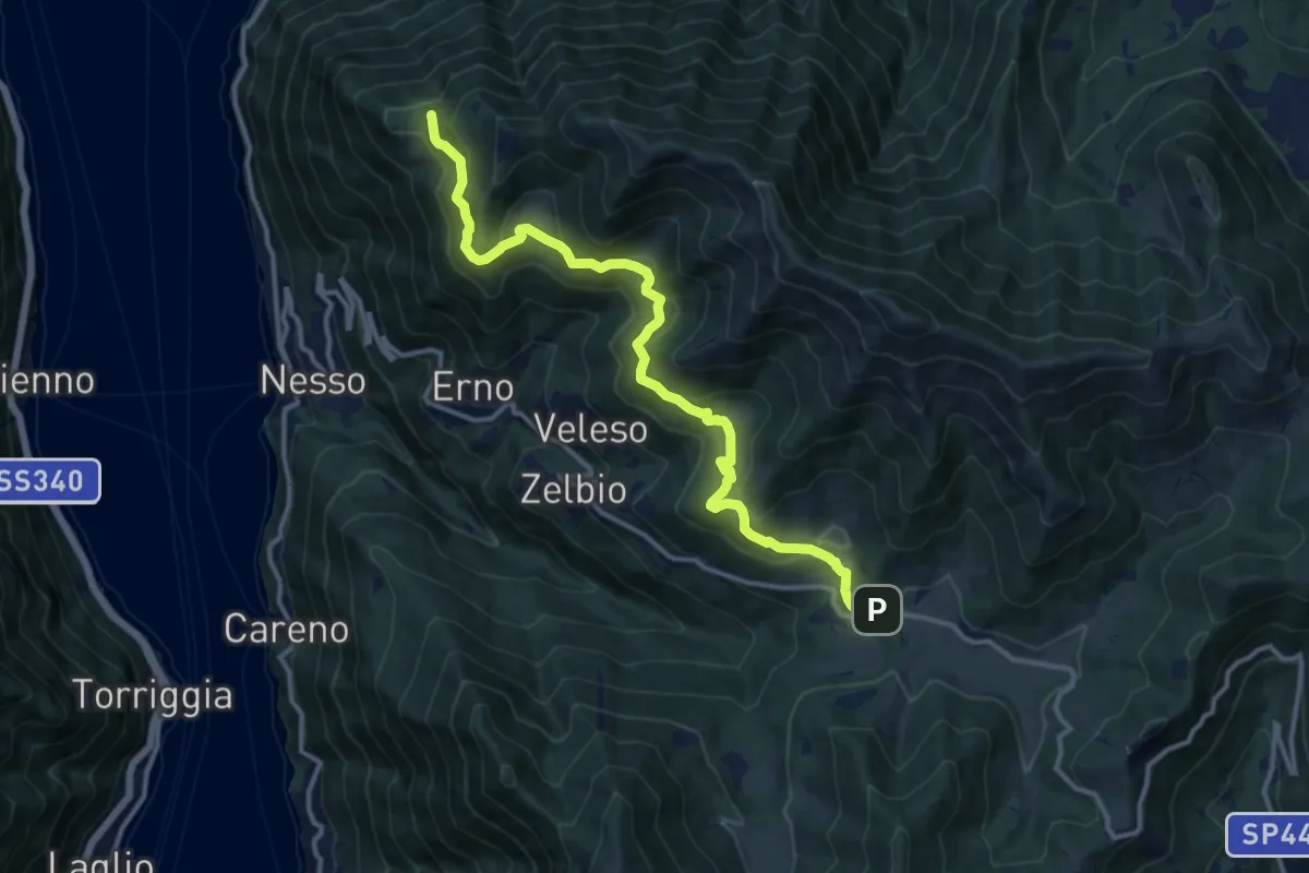
Cammino dei Petali
7.5 km · ↑ 428 m · 2 h 48 min · 13 km away
Medium · Trail
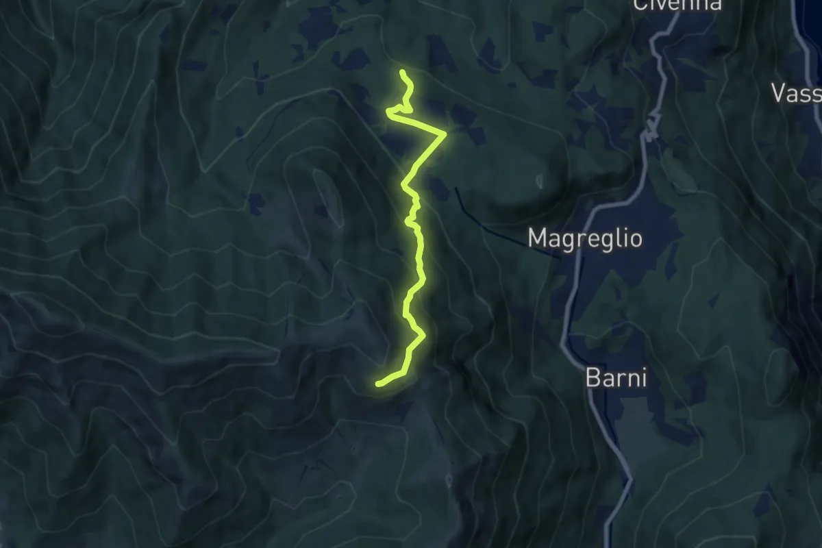
Pian del Tivano – Cresta NW M. Colmenacco
13.2 km · ↑ 610 m · 4 h 26 min · 13 km away
Medium · Trail
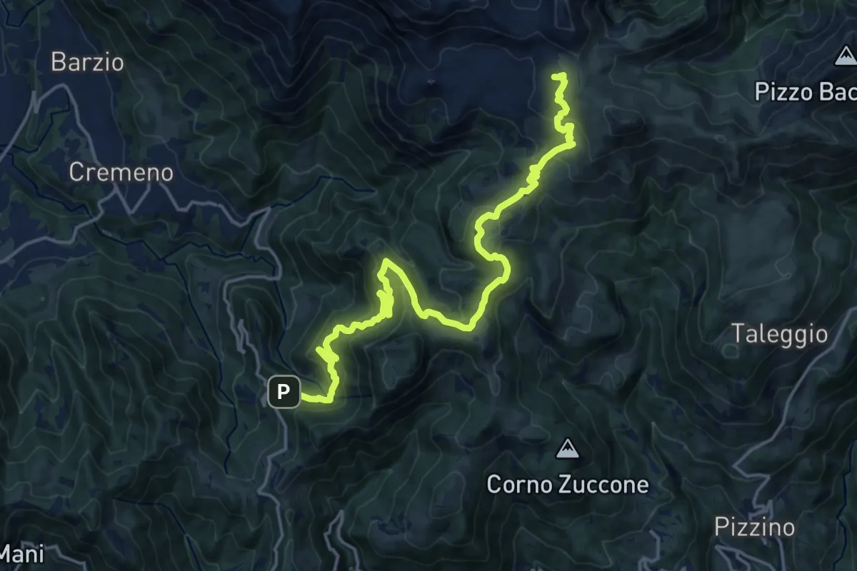
Pietra Luna – Innesto Dorsale
6.7 km · ↑ 501 m · 2 h 41 min · 13 km away
Demanding · Cabin
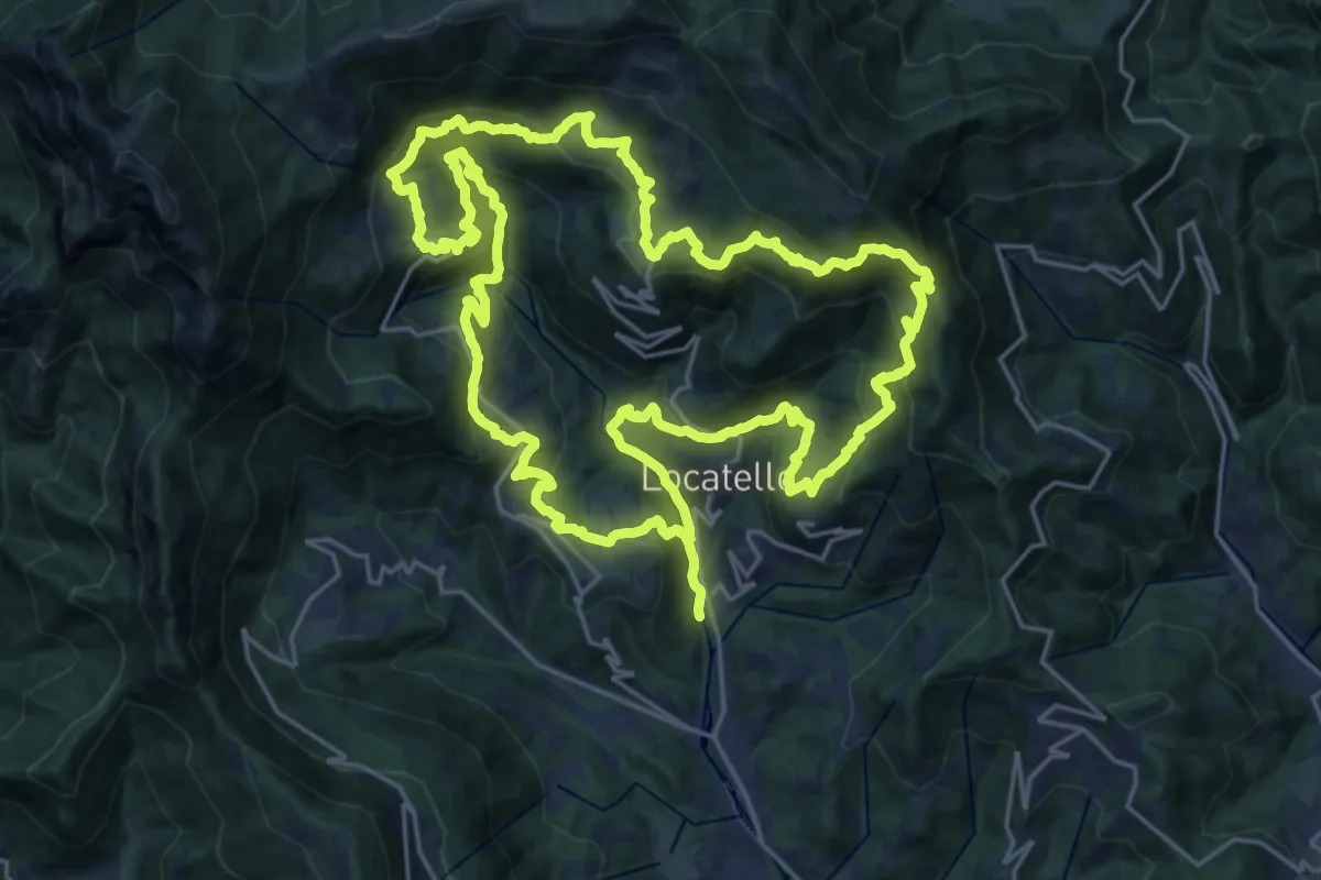
Campuscedo – Rifugio Cazzaniga-Merlini
19.7 km · ↑ 1105 m · 7 h 2 min · 13 km away
Demanding · Trail
Sentiero dei Giganti
25.1 km · ↑ 1336 m · 9 h 10 min · 13 km away
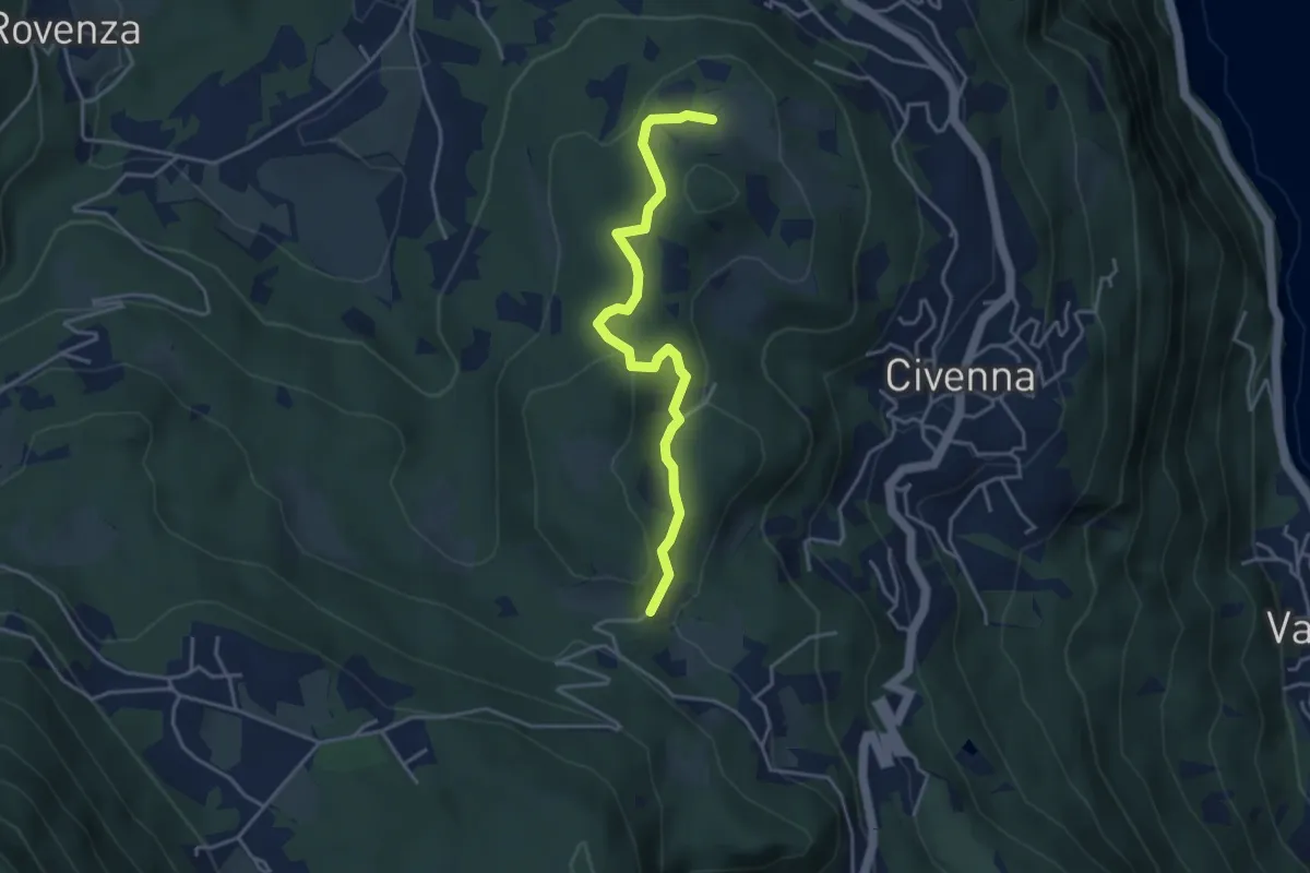
Easy · Trail
C.na Tronca (Bellagio) – Stalle di Villa Mora (Bellagio)
4.0 km · ↑ 166 m · 1 h 18 min · 13 km away
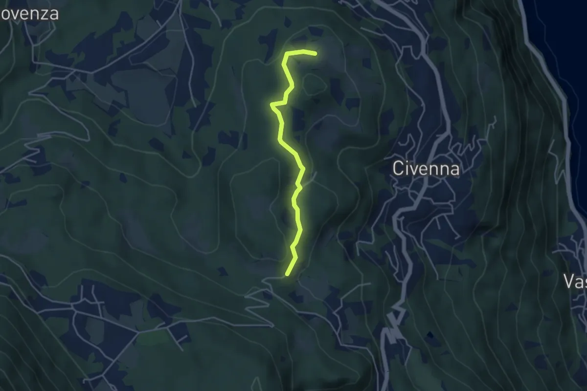
Easy · Trail
C.na Tronca (Bellagio) – Stalle di Villa Mora (Bellagio)
3.5 km · ↑ 126 m · 1 h 6 min · 13 km away
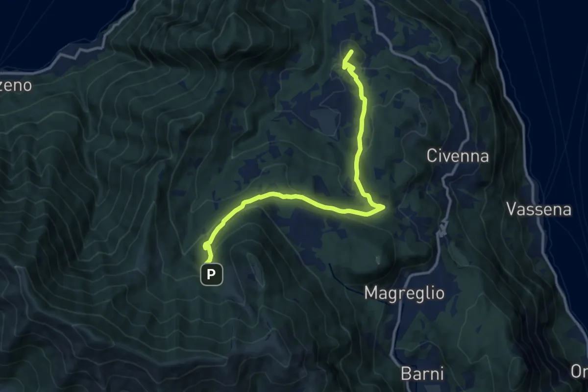
Medium · Summit
Innesto Sentiero del Tivano Monte Gamasca – Parco Monte San Primo
11.4 km · ↑ 444 m · 3 h 39 min · 13 km away
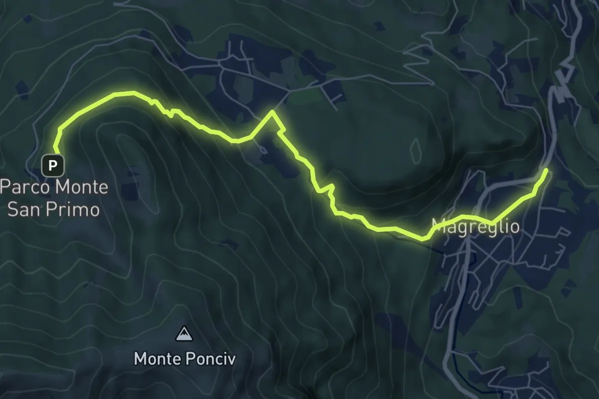
Expert · Trail
Madonna del Ghisallo (Magreglio) – Parco Monte San Primo
7.9 km · ↑ 460 m · 2 h 52 min · 13 km away