Trails near Valmadrera
362 hikes starting within 15 km, nearest first.
Nearest first, page 7 of 8
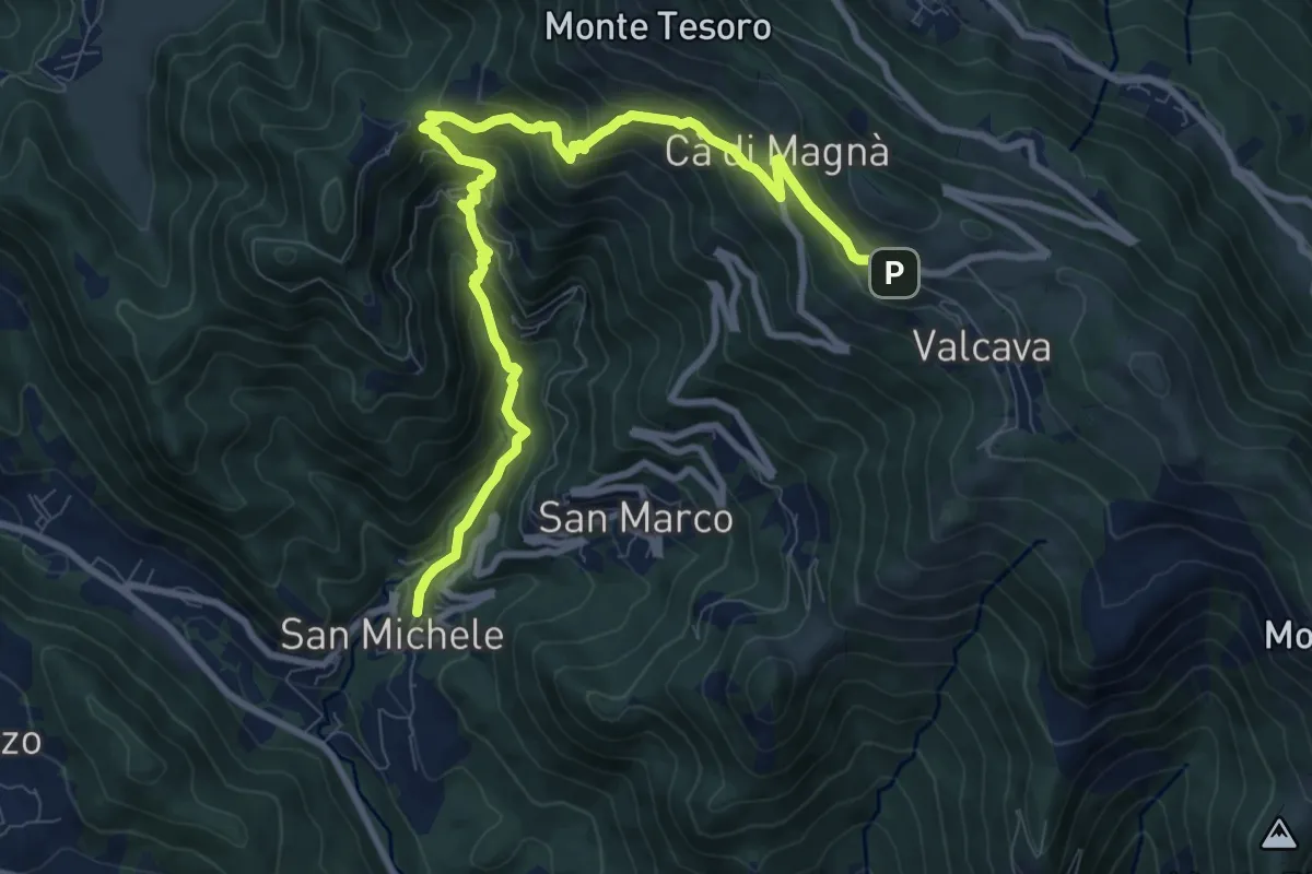
Demanding · Trail
Torre de' Busi – Valcava
10.8 km · ↑ 894 m · 4 h 29 min · 13 km away
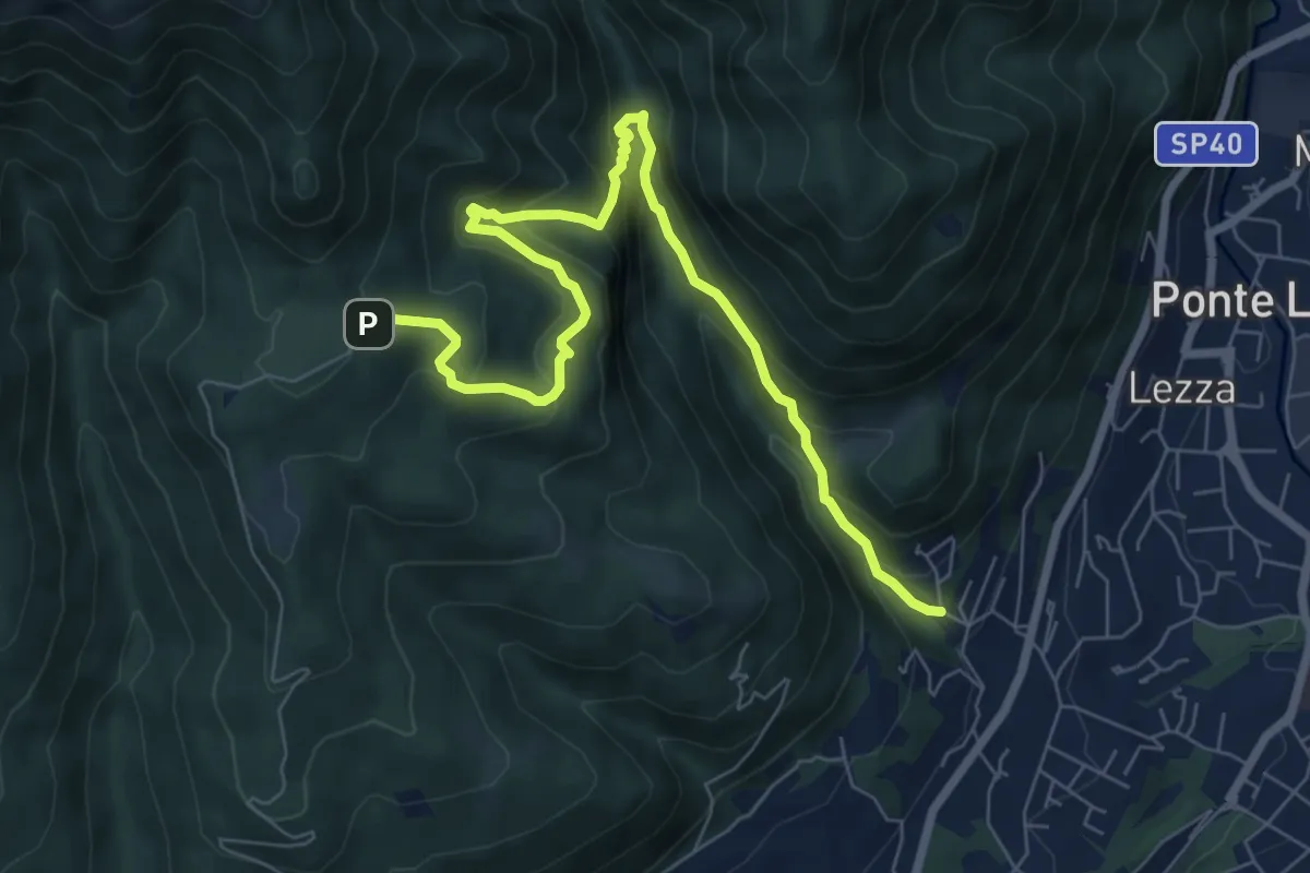
Demanding · Trail
Ca Nova – Alpe Vicerè
8.5 km · ↑ 602 m · 3 h 18 min · 13 km away
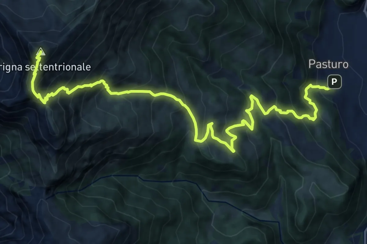
Demanding · Summit
Pasturo - Grignone (via estiva)
18.3 km · ↑ 1819 m · 8 h 15 min · 13 km away
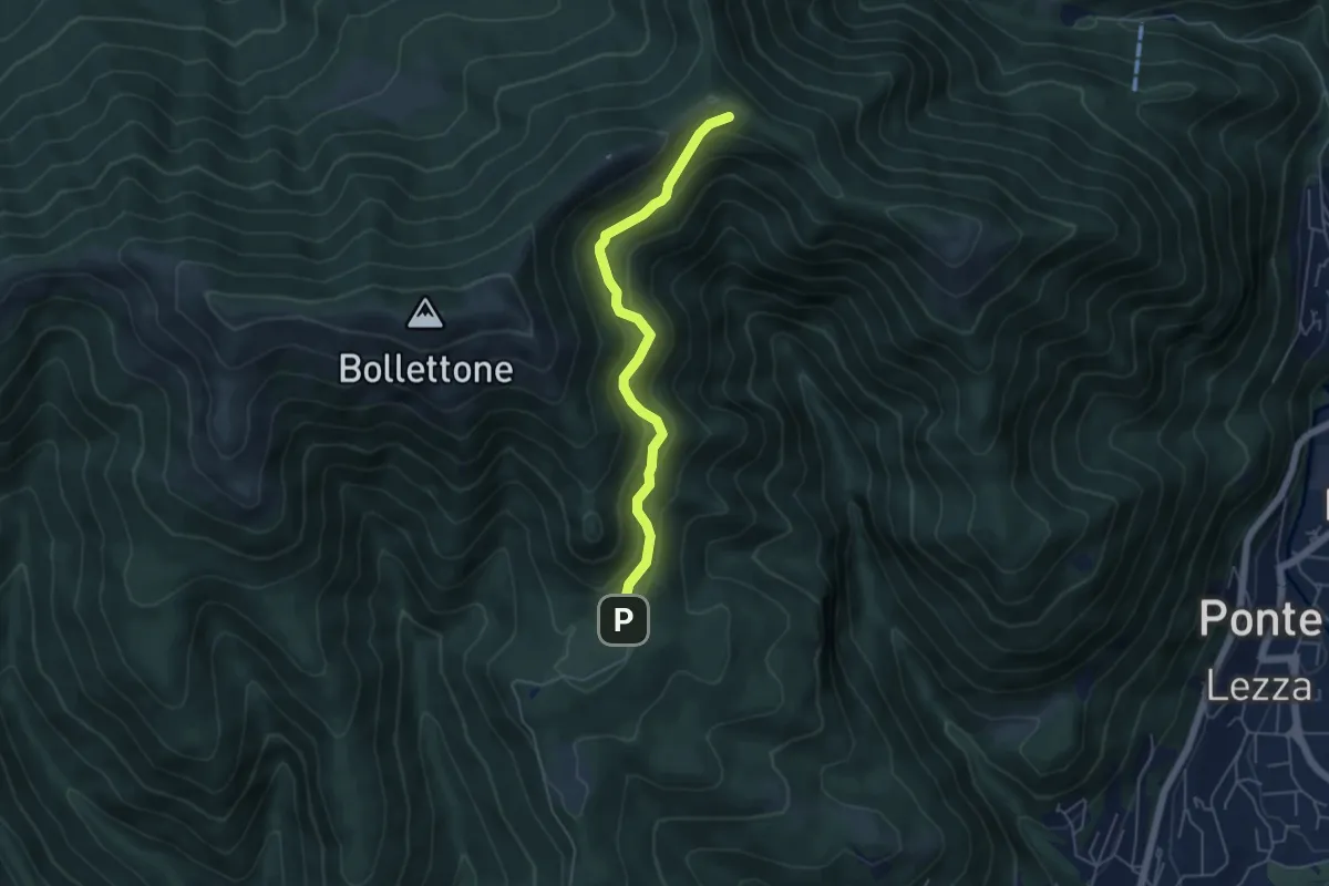
Easy · Cabin
Sentiero 23: Alpe del Vicerè - Rifugio Cacciatori - Capanna Mara
4.9 km · ↑ 303 m · 1 h 48 min · 13 km away
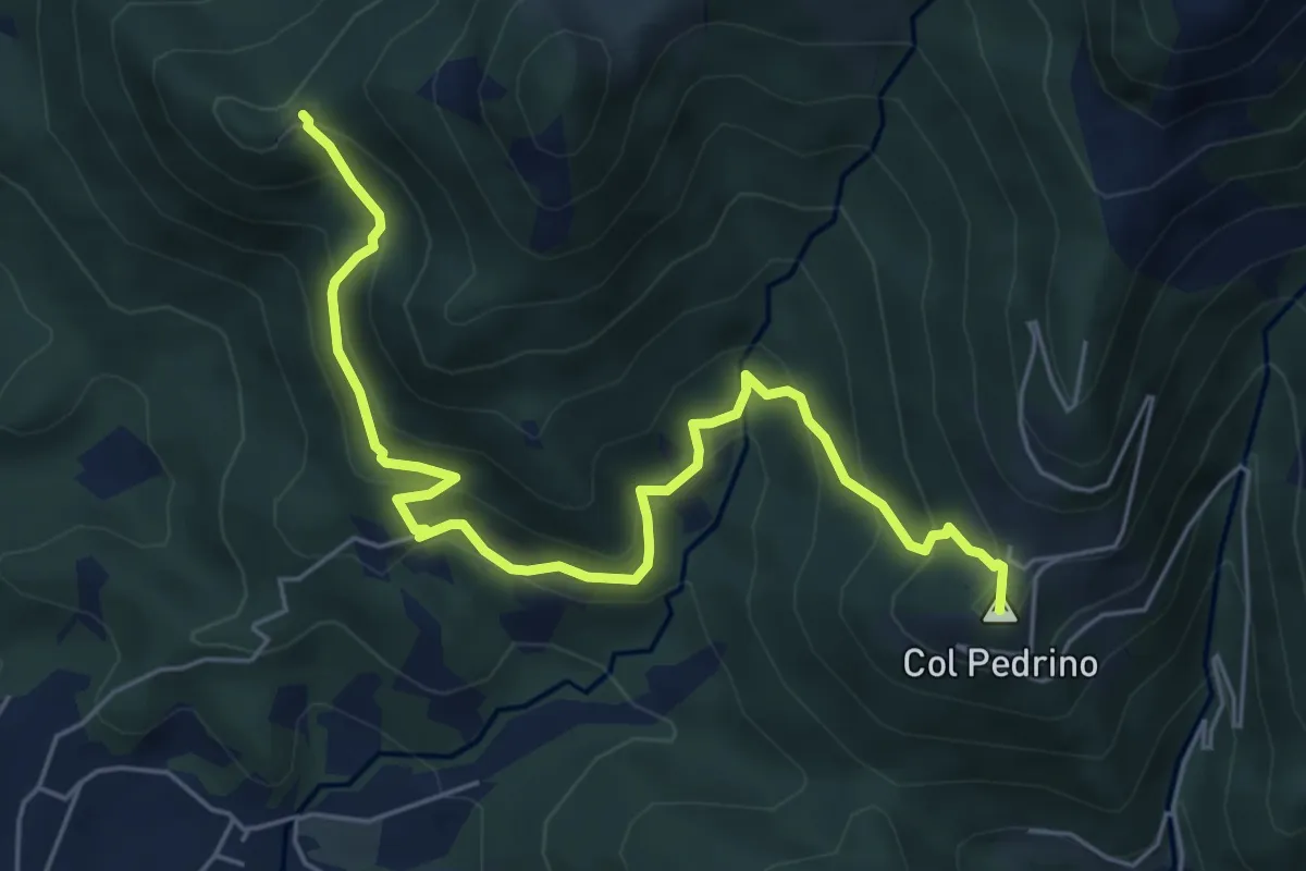
Medium · Summit
Località Foppa – Coldara
6.6 km · ↑ 509 m · 2 h 39 min · 13 km away
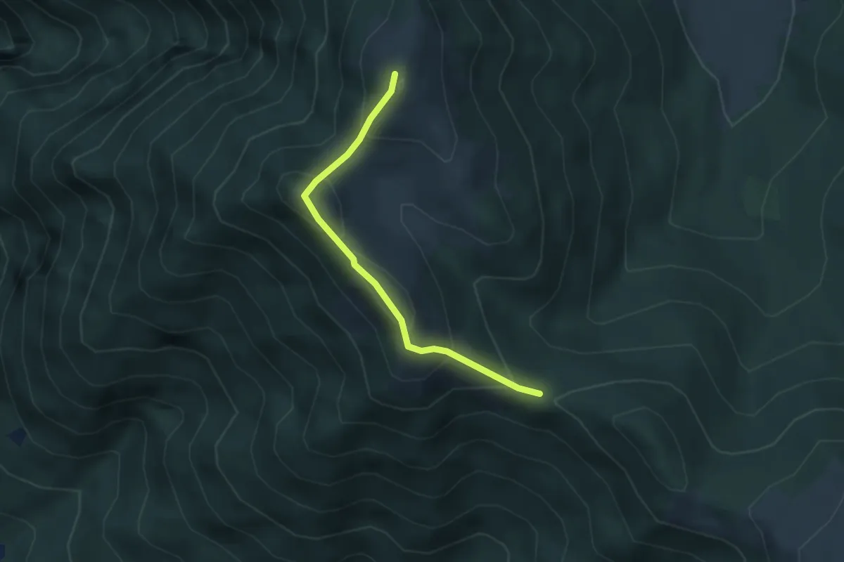
Medium · Summit
Bocchetta di Sciff – Monte Preaola
3.1 km · ↑ 196 m · 1 h 9 min · 13 km away
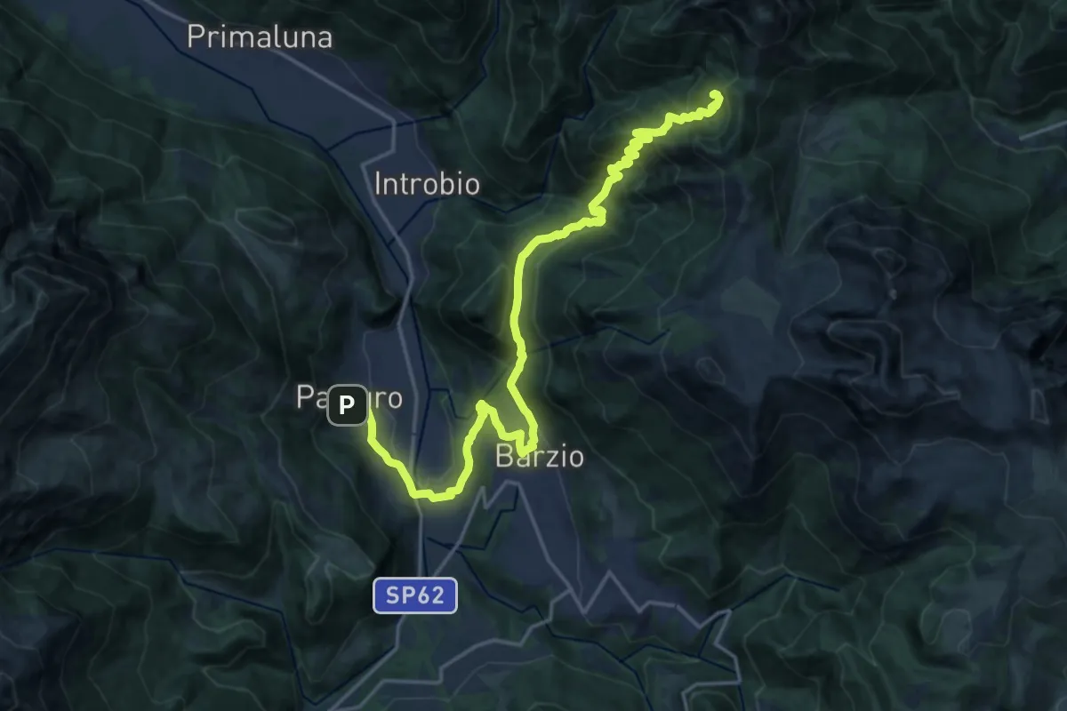
Demanding · Cabin
Pasturo – Rifugio Buzzoni
10.6 km · ↑ 1181 m · 4 h 46 min · 13 km away
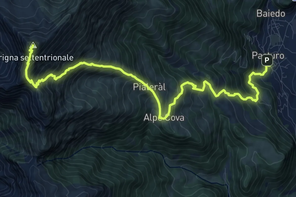
Demanding · Summit
Rifugio Luigi Brioschi – Pasturo
16.5 km · ↑ 1832 m · 7 h 52 min · 13 km away
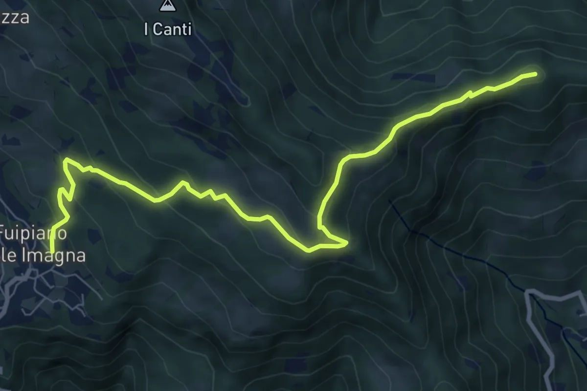
Medium · Summit
Sentiero dei Laghi Basso - Tappa 3
8.6 km · ↑ 491 m · 3 h 6 min · 13 km away
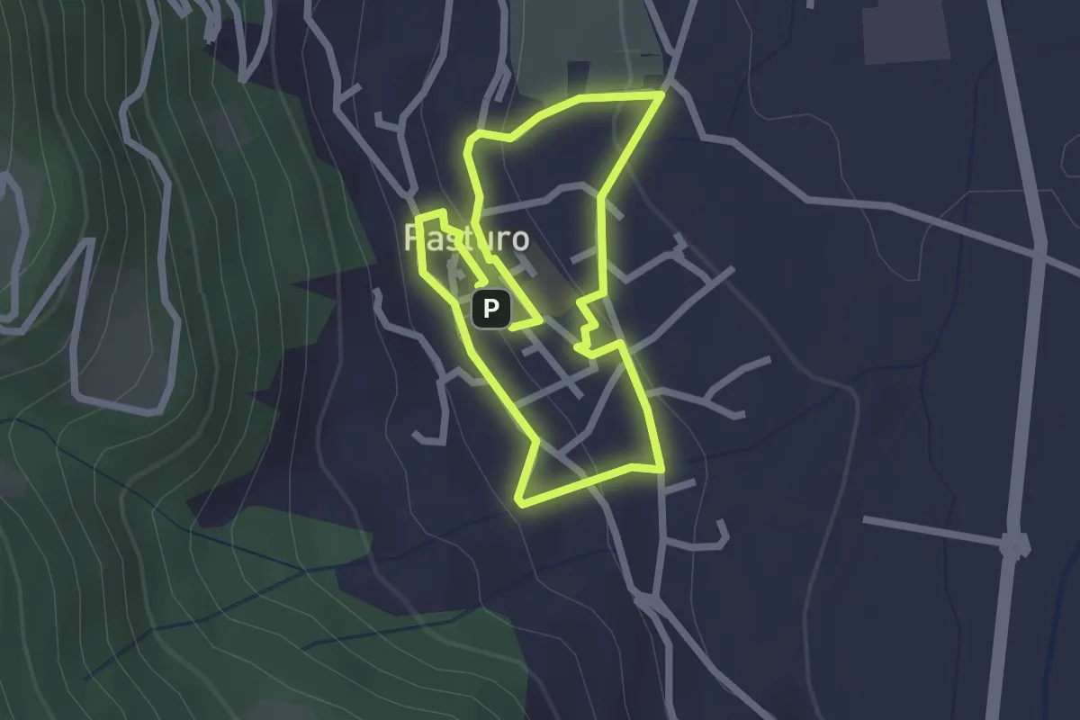
Easy · Trail
Percorso poetico di Antonia Pozzi
2.0 km · ↑ 69 m · 39 min · 13 km away
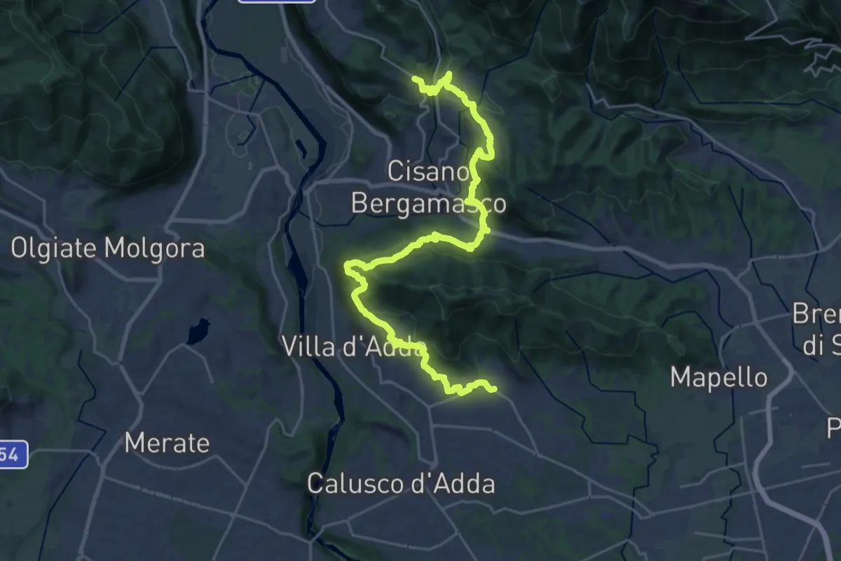
Medium · Trail
Sentiero Papa Giovanni XXIII
13.8 km · ↑ 408 m · 4 h 24 min · 13 km away
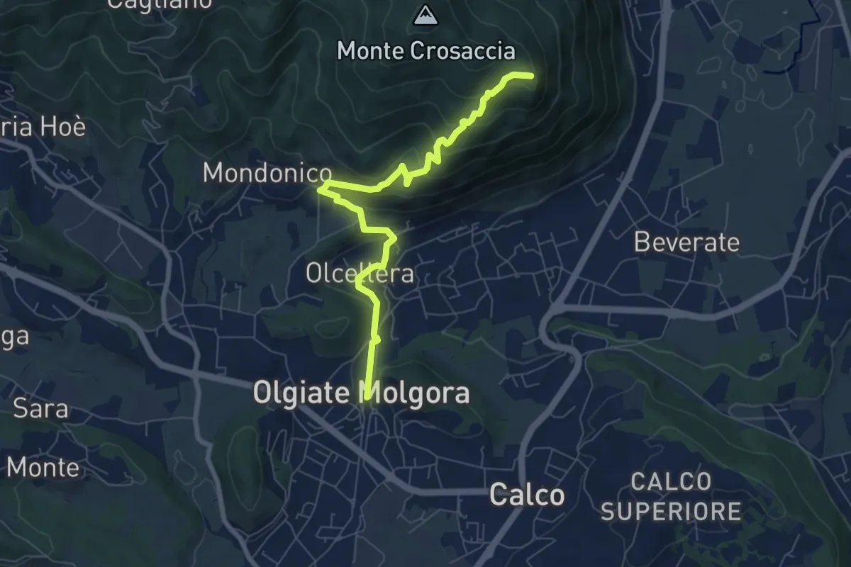
Medium · Trail
Olgiate Molgora (FS) – Crosaccia
7.3 km · ↑ 425 m · 2 h 39 min · 13 km away
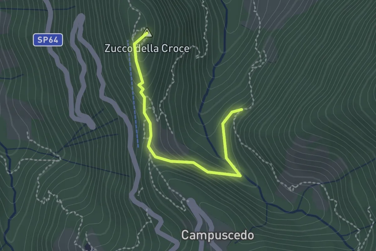
Medium · Summit
Baite Francetto – Rifugio Zucco della Croce
2.1 km · ↑ 115 m · 45 min · 13 km away
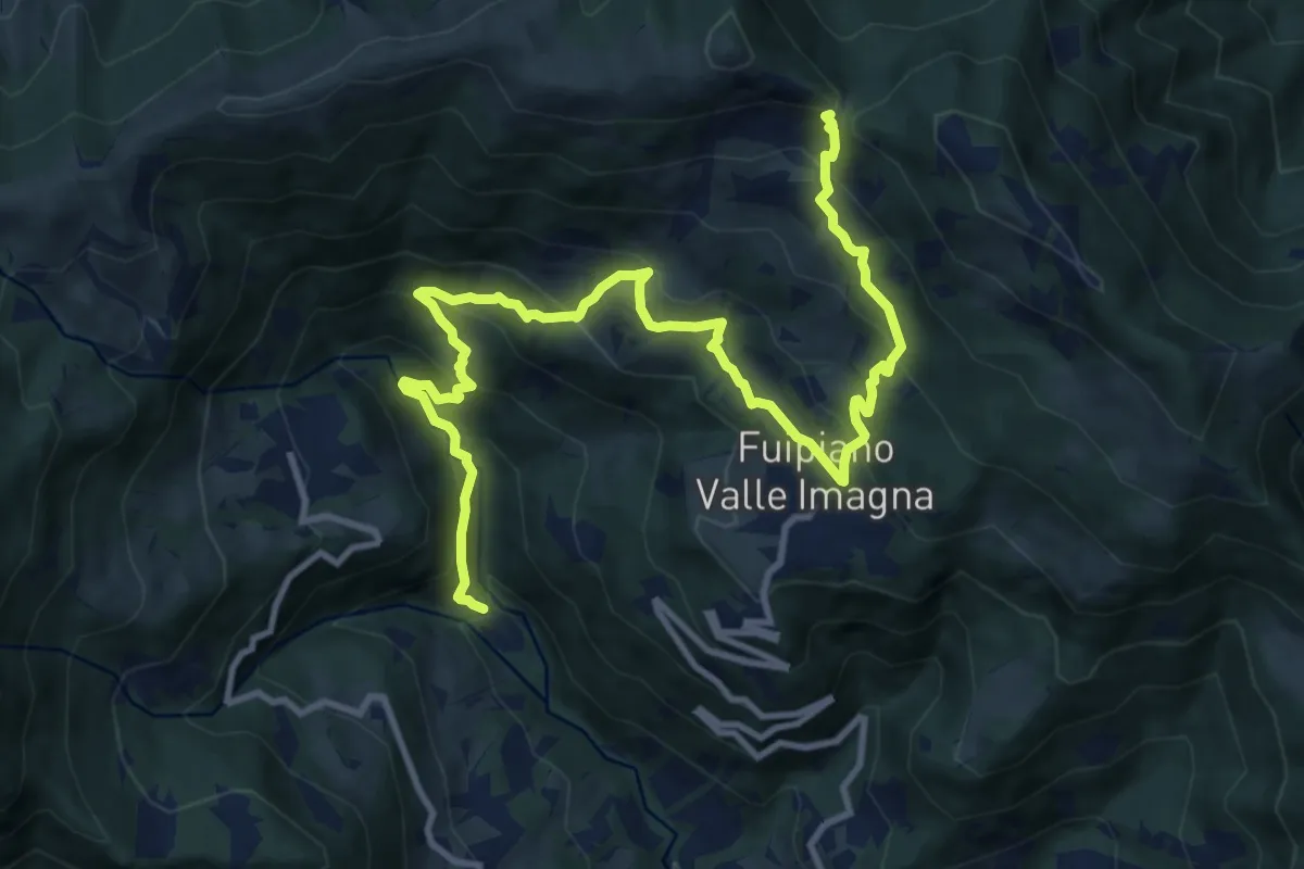
Demanding · Trail
Chignolo – Bocca del Grassello
13.5 km · ↑ 994 m · 5 h 21 min · 13 km away
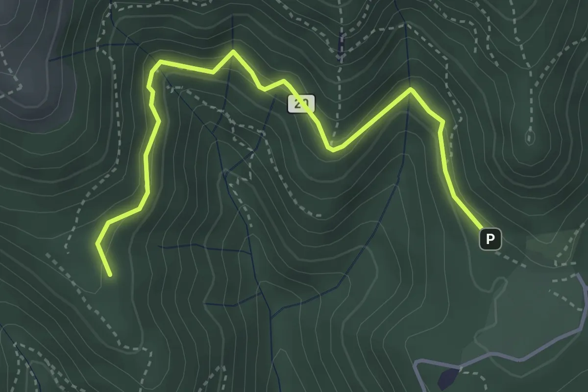
Medium · Trail
Alpe del Vicerè – Baita Patrizi
4.1 km · ↑ 256 m · 1 h 31 min · 13 km away
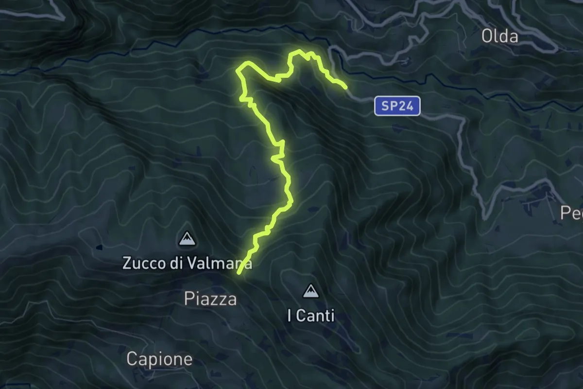
Medium · Trail
Ponte Lavina – Bocca del Grassello
8.2 km · ↑ 738 m · 3 h 32 min · 13 km away
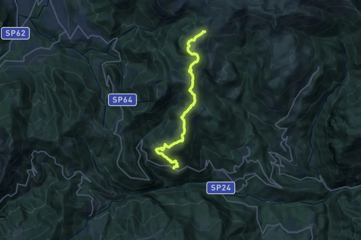
Medium · Trail
Avolasio (Vedeseta) – Piani di Artavaggio
14.8 km · ↑ 756 m · 5 h 8 min · 13 km away
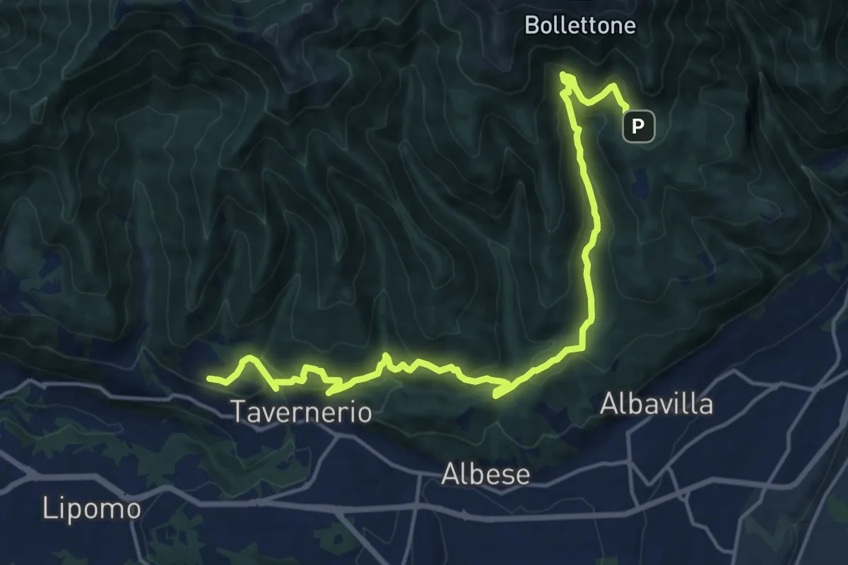
Demanding · Trail
Caslascio (Tavernerio) – Alpe del Vicerè
17.7 km · ↑ 819 m · 5 h 57 min · 14 km away
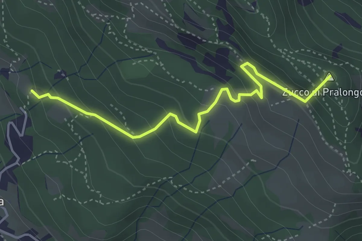
Medium · Summit
Fuipiano – Tre Faggi
3.8 km · ↑ 306 m · 1 h 34 min · 14 km away
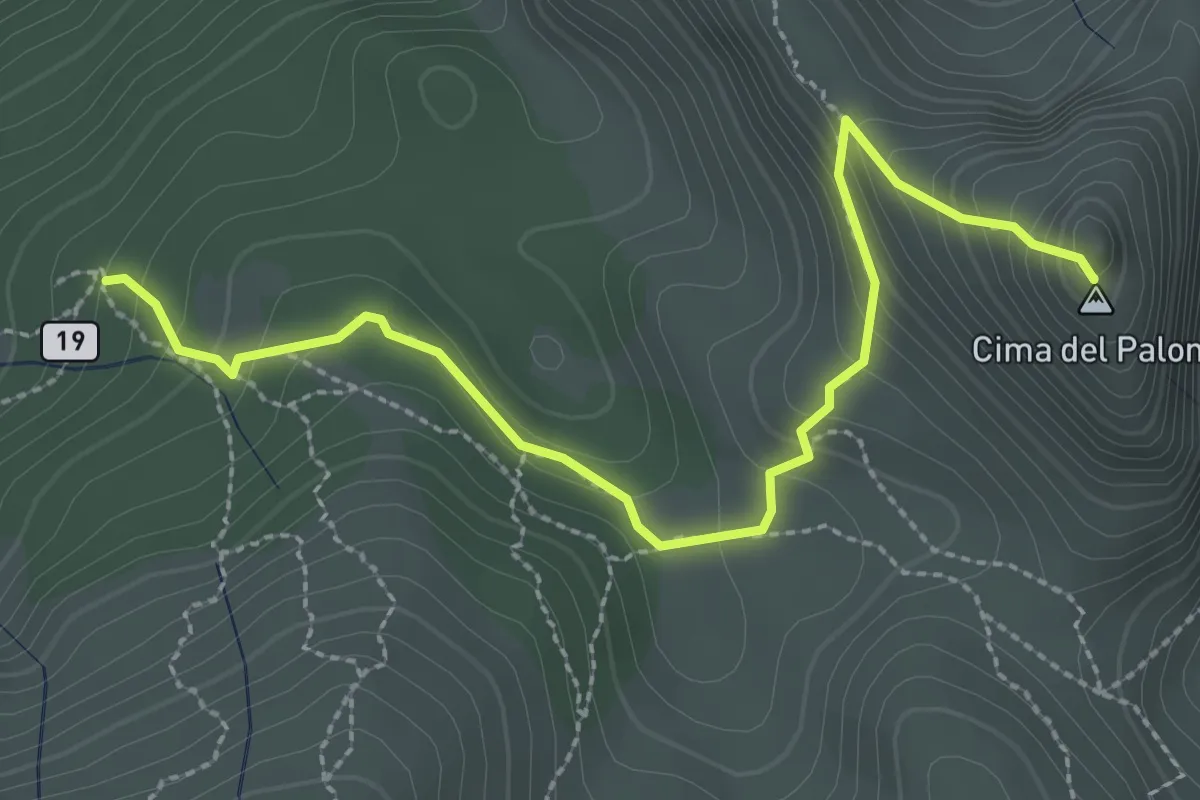
Expert · Summit
Palone Vallori
3.0 km · ↑ 231 m · 1 h 13 min · 14 km away
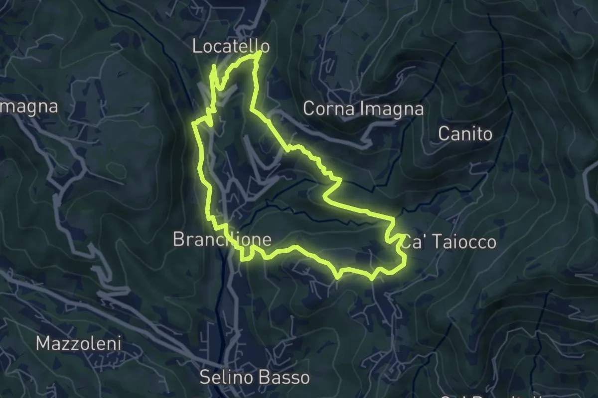
Medium · Trail
Sentiero dei Ponti
6.2 km · ↑ 229 m · 2 h 3 min · 14 km away
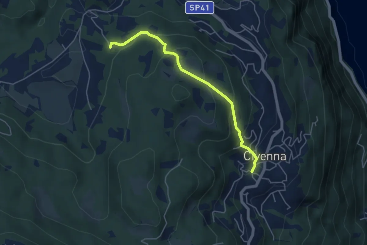
Easy · Trail
Civenna – Villa Mora (Bellagio)
4.0 km · ↑ 250 m · 1 h 29 min · 14 km away
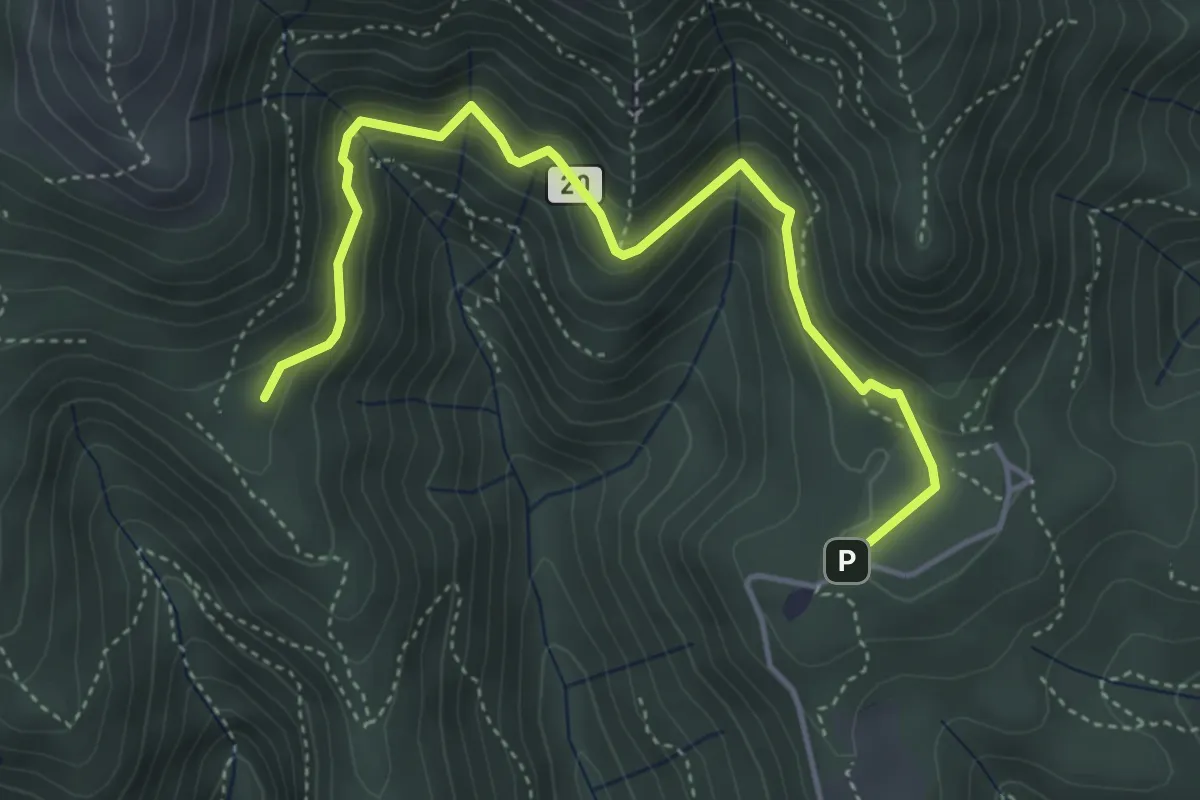
Medium · Trail
Sentiero 20: Alpe del Viceré - Baita Patrizi
4.8 km · ↑ 275 m · 1 h 44 min · 14 km away
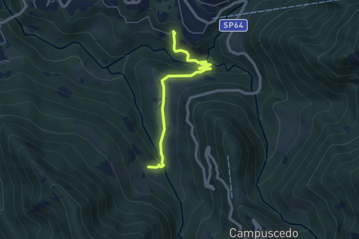
Easy · Trail
Moggio - Ussola
4.5 km · ↑ 162 m · 1 h 24 min · 14 km away
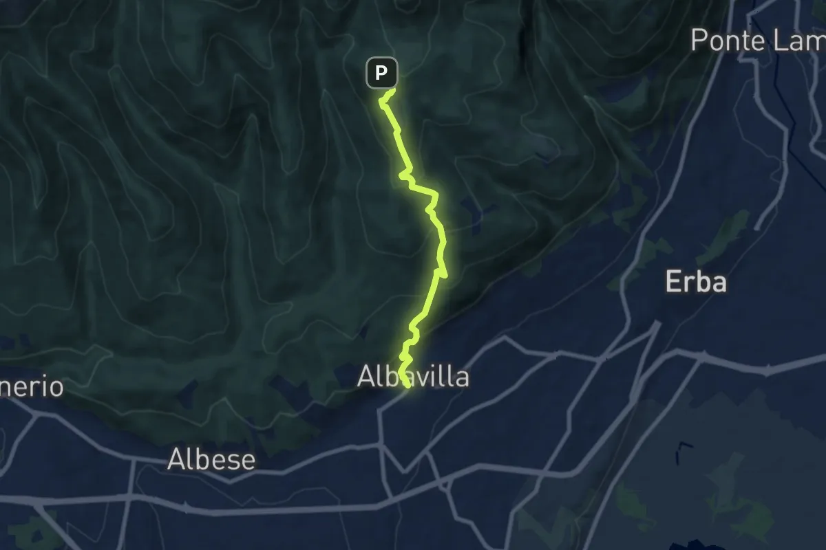
Medium · Trail
Sentiero degli Alpini
6.5 km · ↑ 474 m · 2 h 33 min · 14 km away
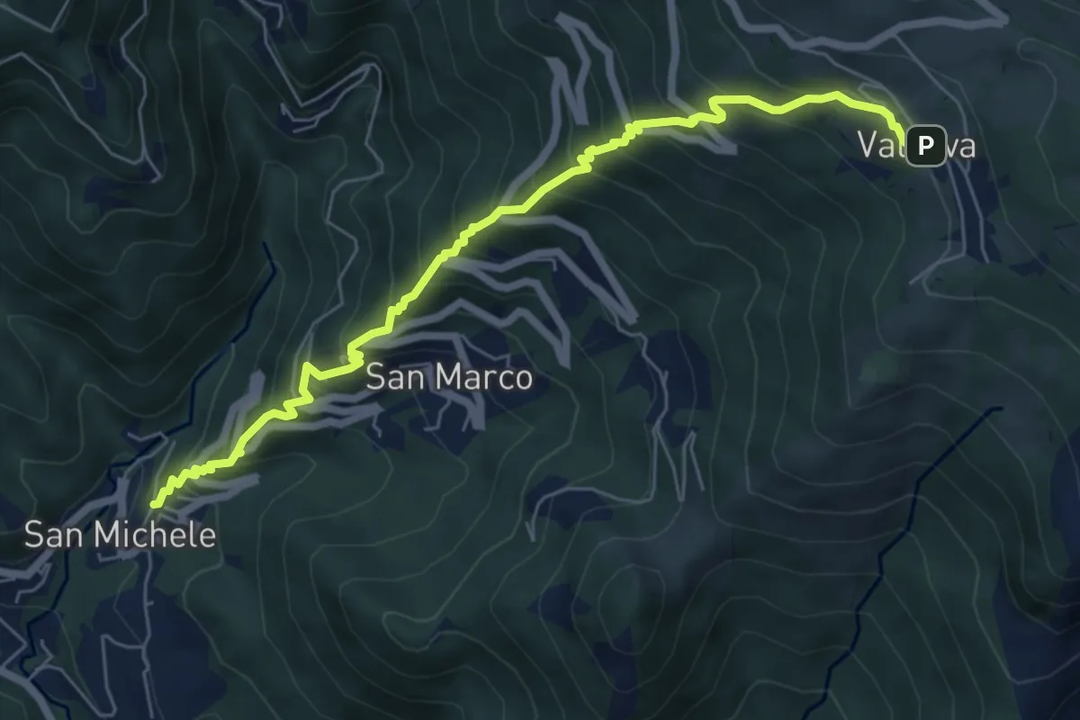
Medium · Trail
Torre de' Busi – Valcava
6.9 km · ↑ 790 m · 3 h 20 min · 14 km away
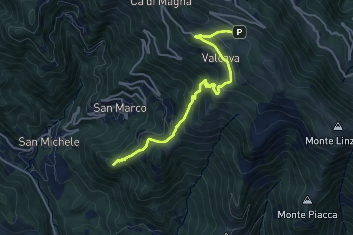
Medium · Summit
Torre de' Busi – Ripetitori (Valcava)
8.7 km · ↑ 620 m · 3 h 23 min · 14 km away
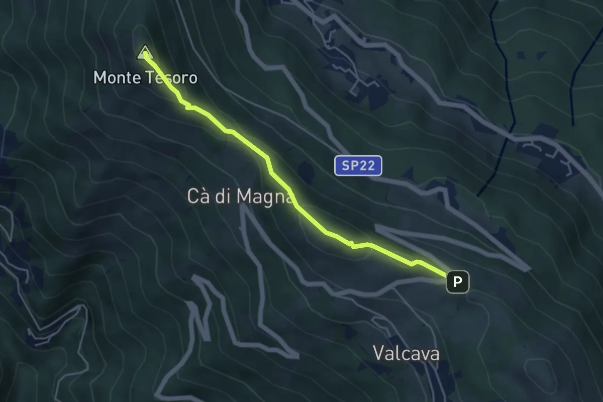
Medium · Summit
Ripetitori (Valcava) – Convento del Pertus
4.1 km · ↑ 216 m · 1 h 27 min · 14 km away
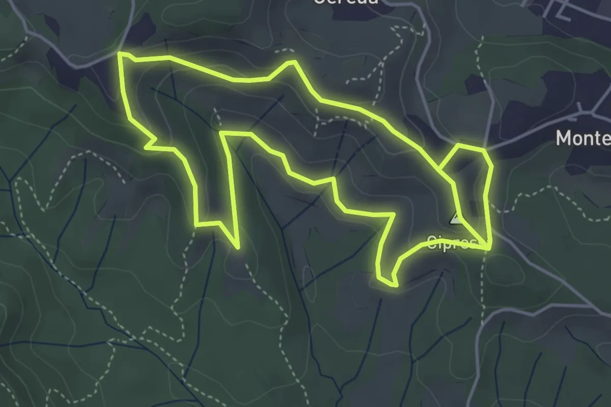
Easy · Summit
Percorso dei prati magri
4.5 km · ↑ 154 m · 1 h 28 min · 14 km away
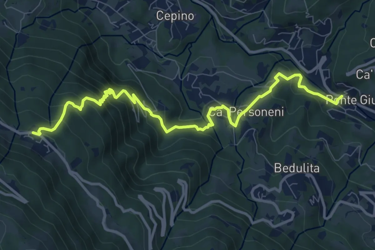
Medium · Trail
Ponte Giurino – Costa Imagna
9.8 km · ↑ 797 m · 4 h 2 min · 14 km away
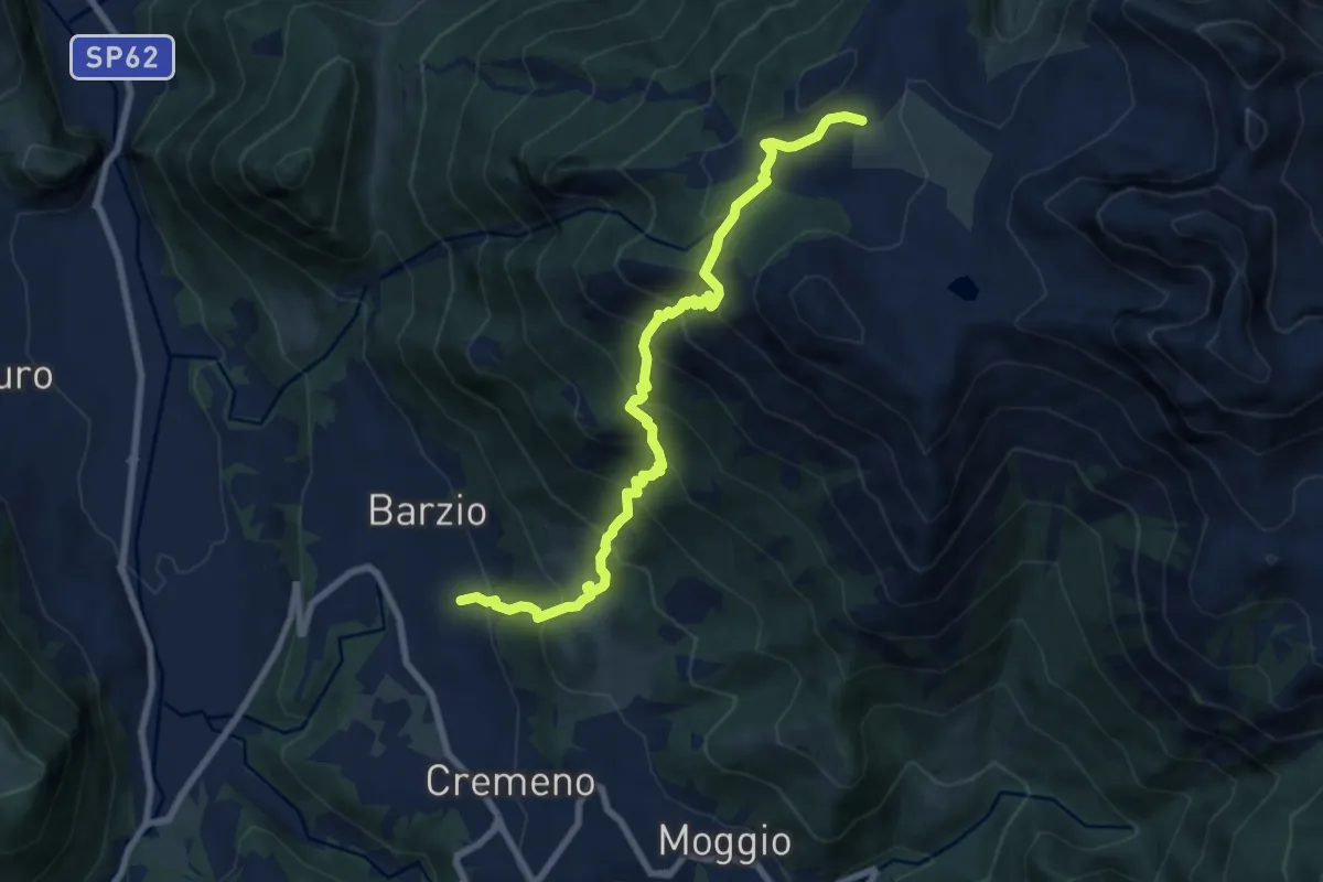
Demanding · Trail
Vallicello – Piani di Bobbio (Chiesa)
8.7 km · ↑ 919 m · 4 h 3 min · 14 km away
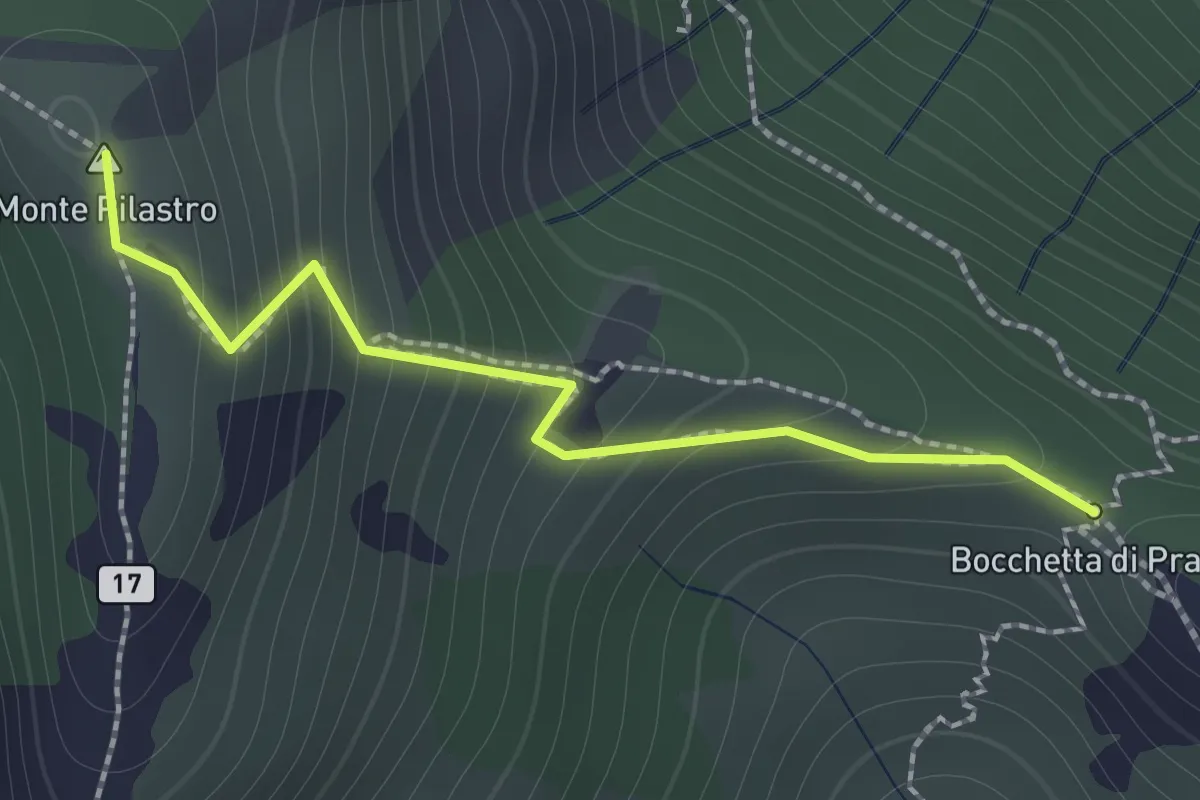
Demanding · Summit
Bocchetta di Prada - Monte Croce
1.4 km · ↑ 184 m · 44 min · 14 km away
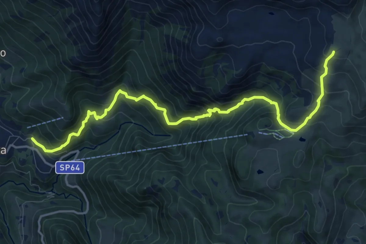
Demanding · Cabin
Moggio – Rifugio Nicola
12.4 km · ↑ 1120 m · 5 h 21 min · 14 km away
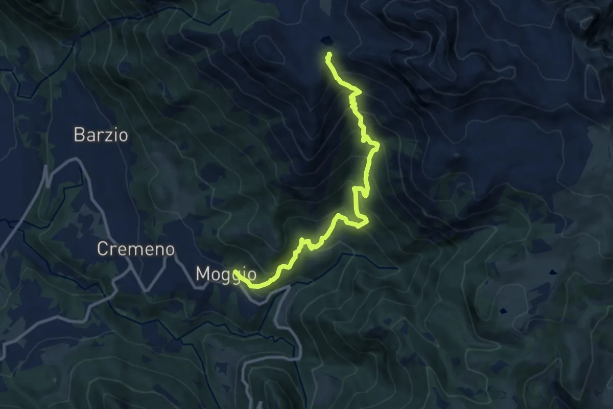
Demanding · Trail
Moggio – Bocchetta di Pesciola
9.9 km · ↑ 1046 m · 4 h 36 min · 14 km away
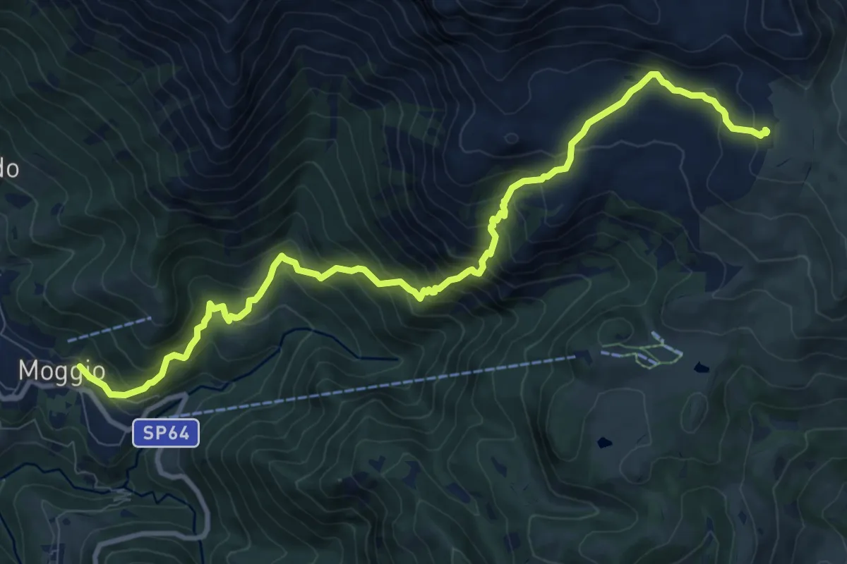
Demanding · Cabin
Sentiero del Canale di Bürei
11.4 km · ↑ 1068 m · 5 h 1 min · 14 km away
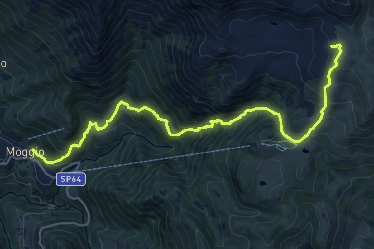
Demanding · Cabin
Moggio – Rifugio Cazzaniga-Merlini
13.2 km · ↑ 1135 m · 5 h 34 min · 14 km away
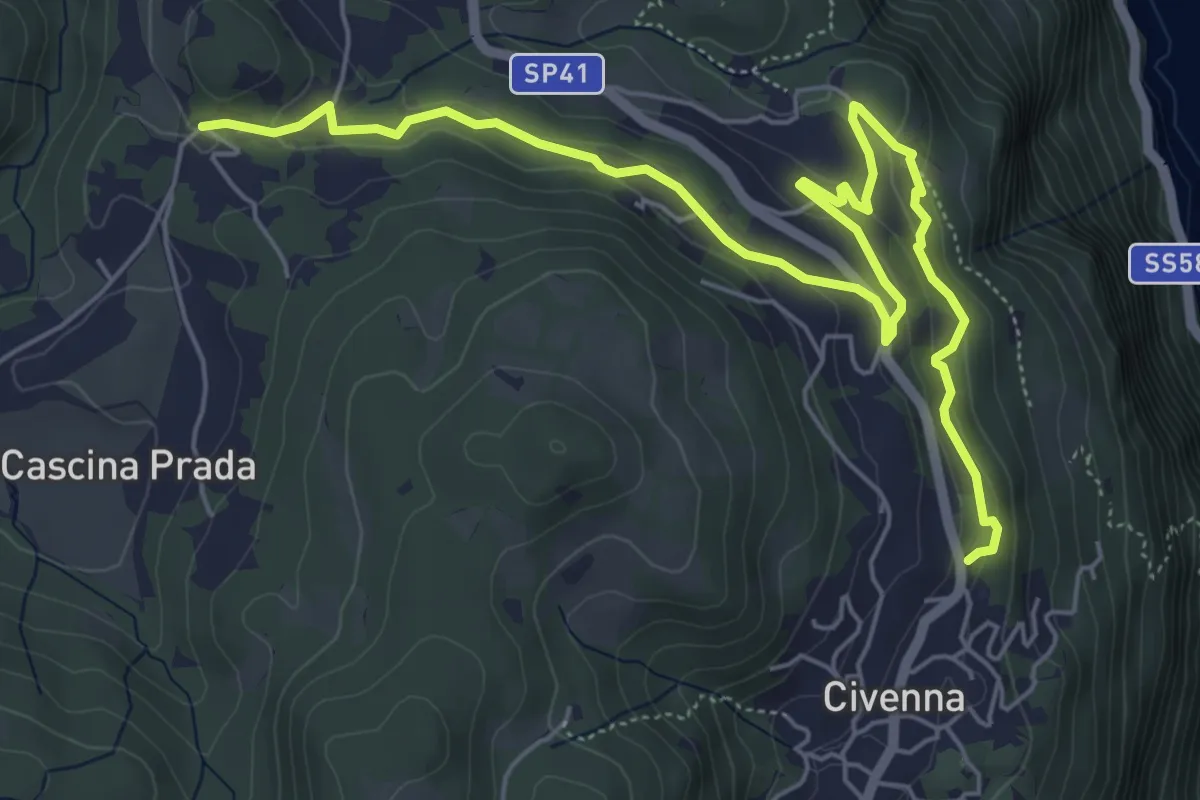
Easy · Trail
Belvedere delle Grigne (Civenna) – Regina Pacis (Bellagio)
7.5 km · ↑ 267 m · 2 h 21 min · 14 km away
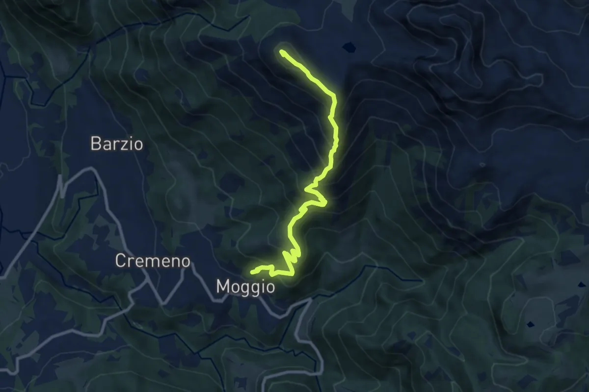
Demanding · Summit
Moggio – Zucco Orscellera
8.7 km · ↑ 996 m · 4 h 13 min · 14 km away
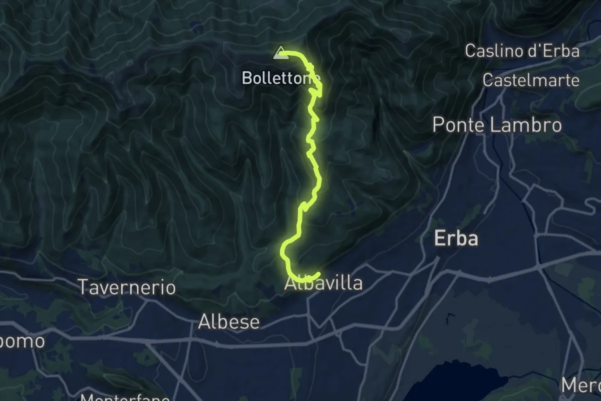
Demanding · Summit
Albavilla – Monte Bolettone
12.1 km · ↑ 820 m · 4 h 38 min · 14 km away
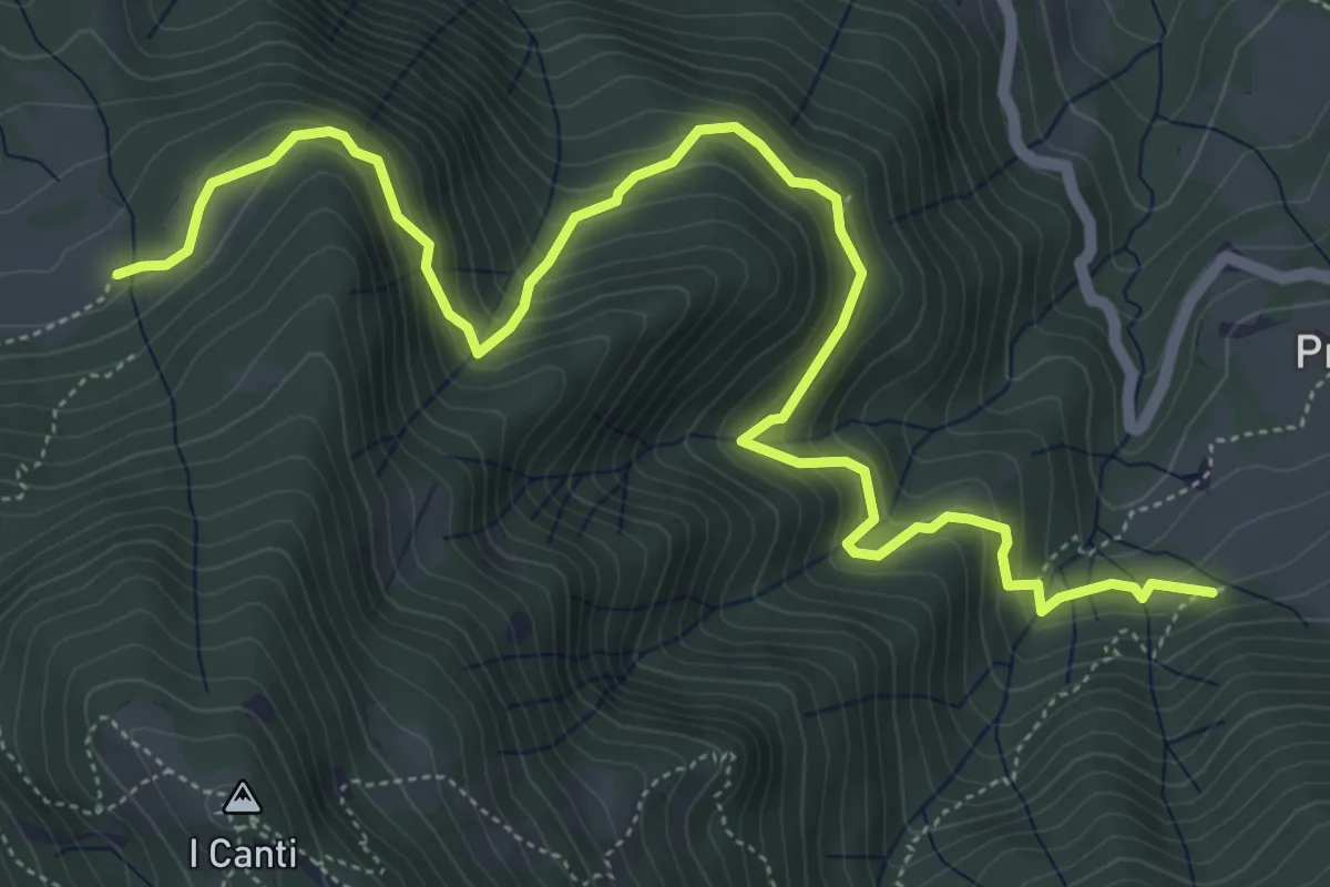
Demanding · Trail
Incrocio 569 (Peghera) – Incrocio 569B (Piazzoli)
7.2 km · ↑ 617 m · 3 h 3 min · 14 km away
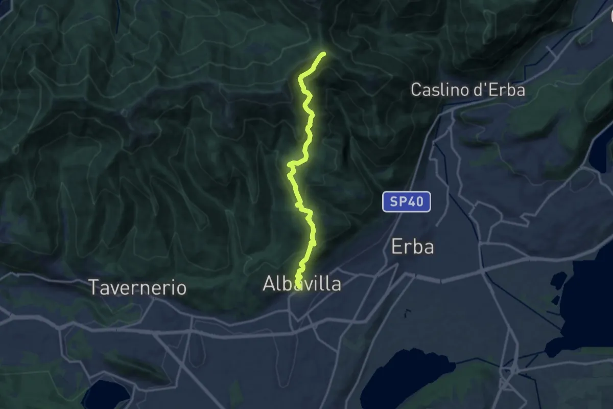
Medium · Cabin
Albavilla – RIfugio Capanna Mara
12.2 km · ↑ 779 m · 4 h 34 min · 14 km away
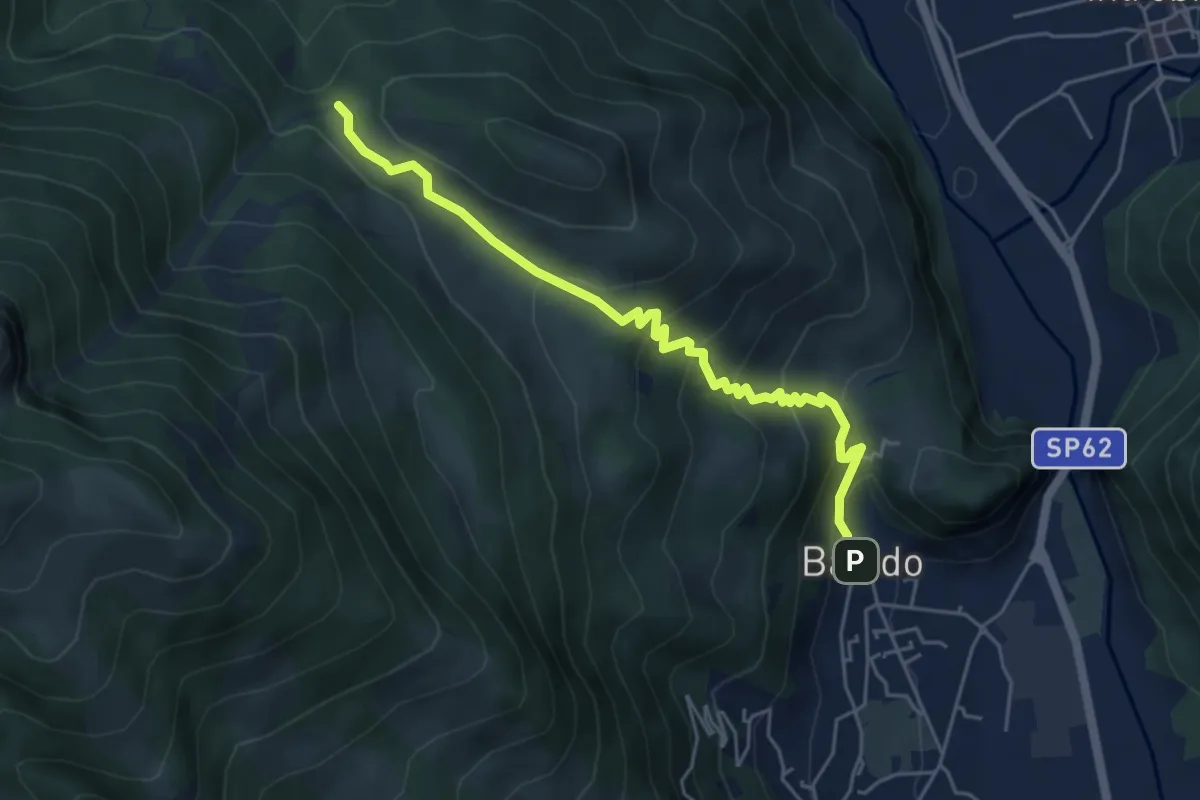
Medium · Trail
Sentiero 34: Baiedo - Rifugio Riva
5.2 km · ↑ 383 m · 2 h 4 min · 14 km away
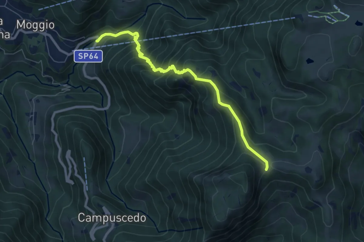
Medium · Trail
Moggio (Mulino) – Area di sosta Maesimo
6.7 km · ↑ 676 m · 3 h 2 min · 14 km away
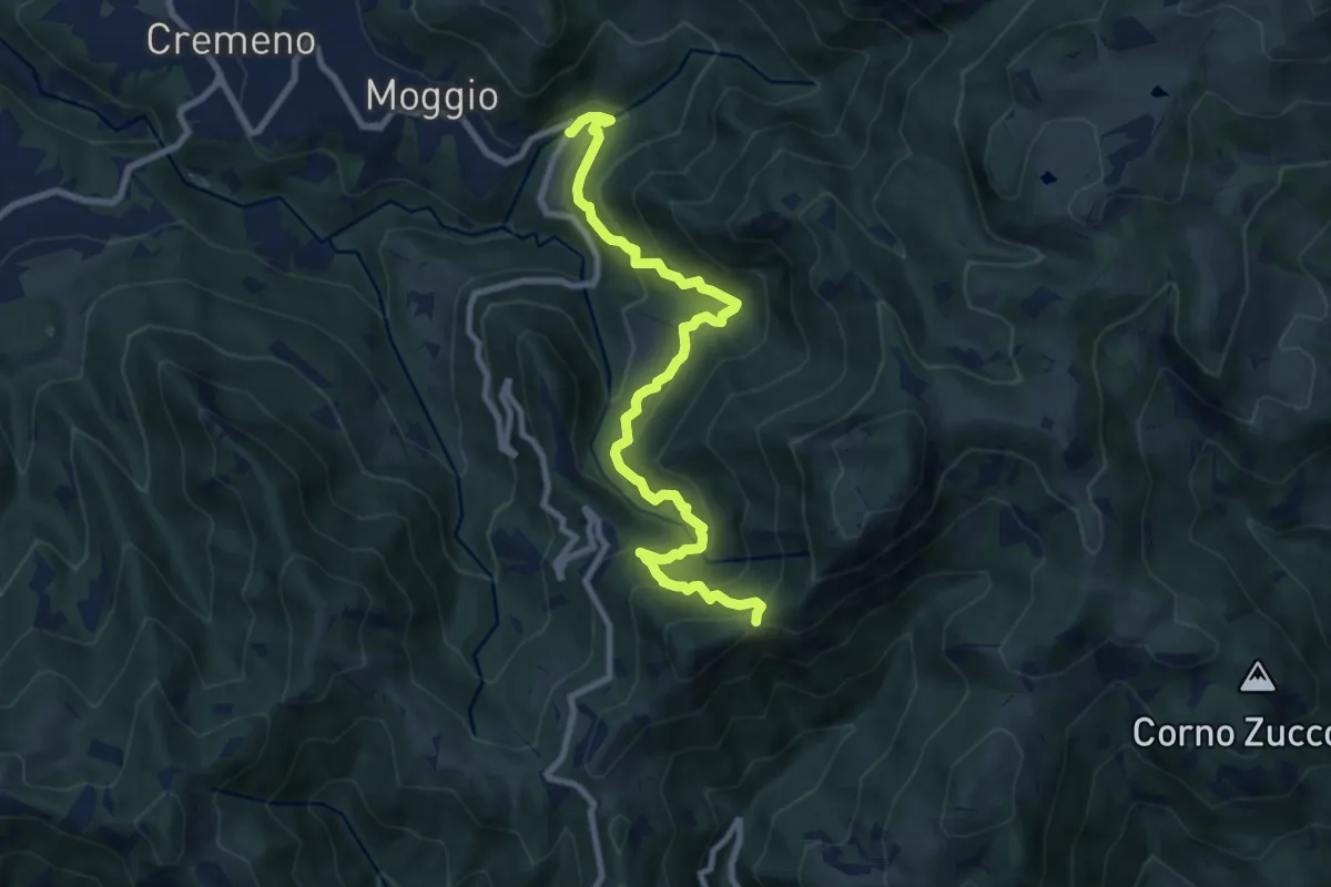
Demanding · Trail
Moggio (Mulino) – Baitel del Lozz
9.8 km · ↑ 912 m · 4 h 17 min · 14 km away
Medium · Trail
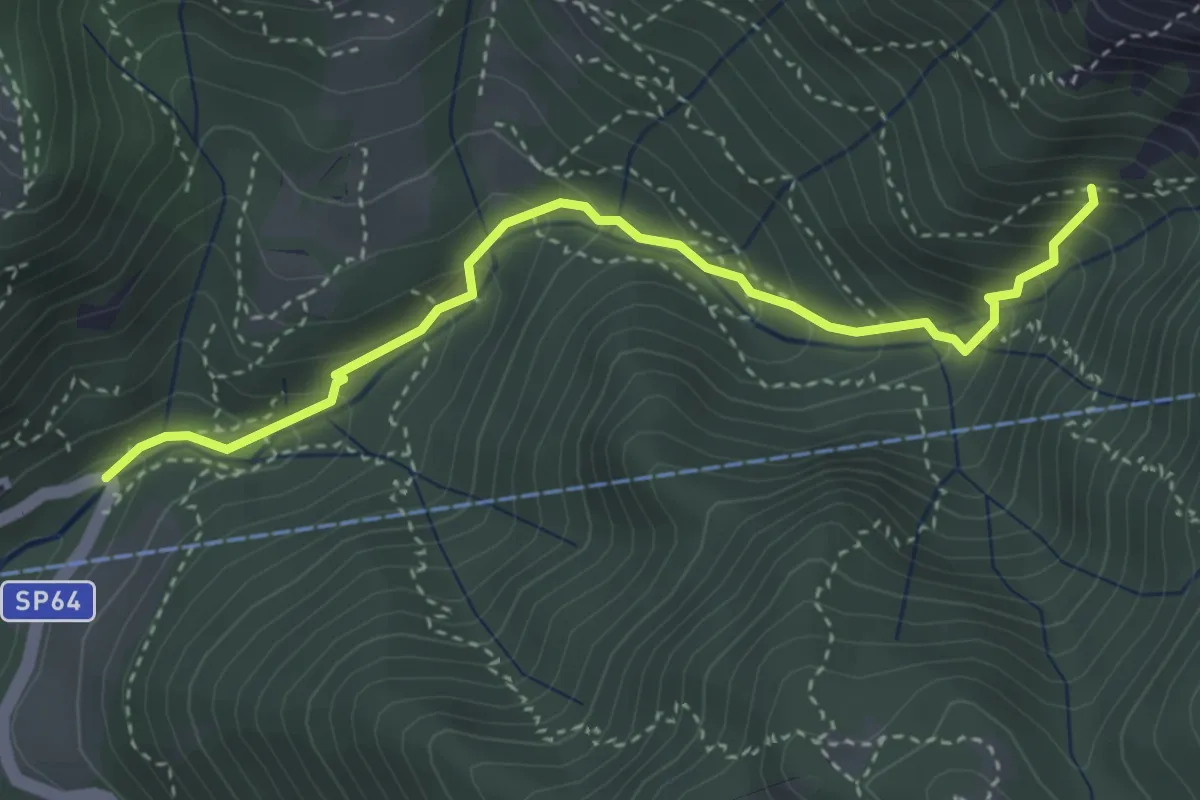
Moggio (Mulino) – Innesto 724
3.7 km · ↑ 354 m · 1 h 39 min · 14 km away
Easy · Trail
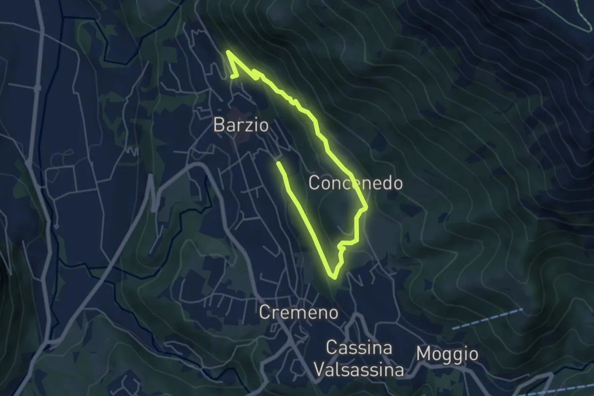
Robiasca – Berlendino
6.5 km · ↑ 287 m · 2 h 9 min · 14 km away
Easy · Trail
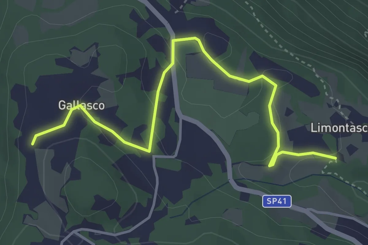
Limonta – Gallasco
4.0 km · ↑ 95 m · 1 h 9 min · 14 km away
Medium · Cabin
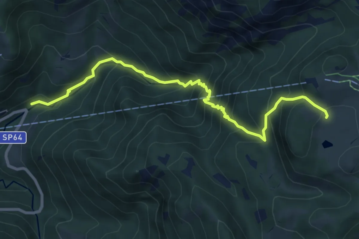
Moggio (Mulino) – Ca' Rovellasca
6.8 km · ↑ 749 m · 3 h 14 min · 14 km away