Trails near Valmadrera
362 hikes starting within 15 km, nearest first.
Nearest first, page 8 of 8
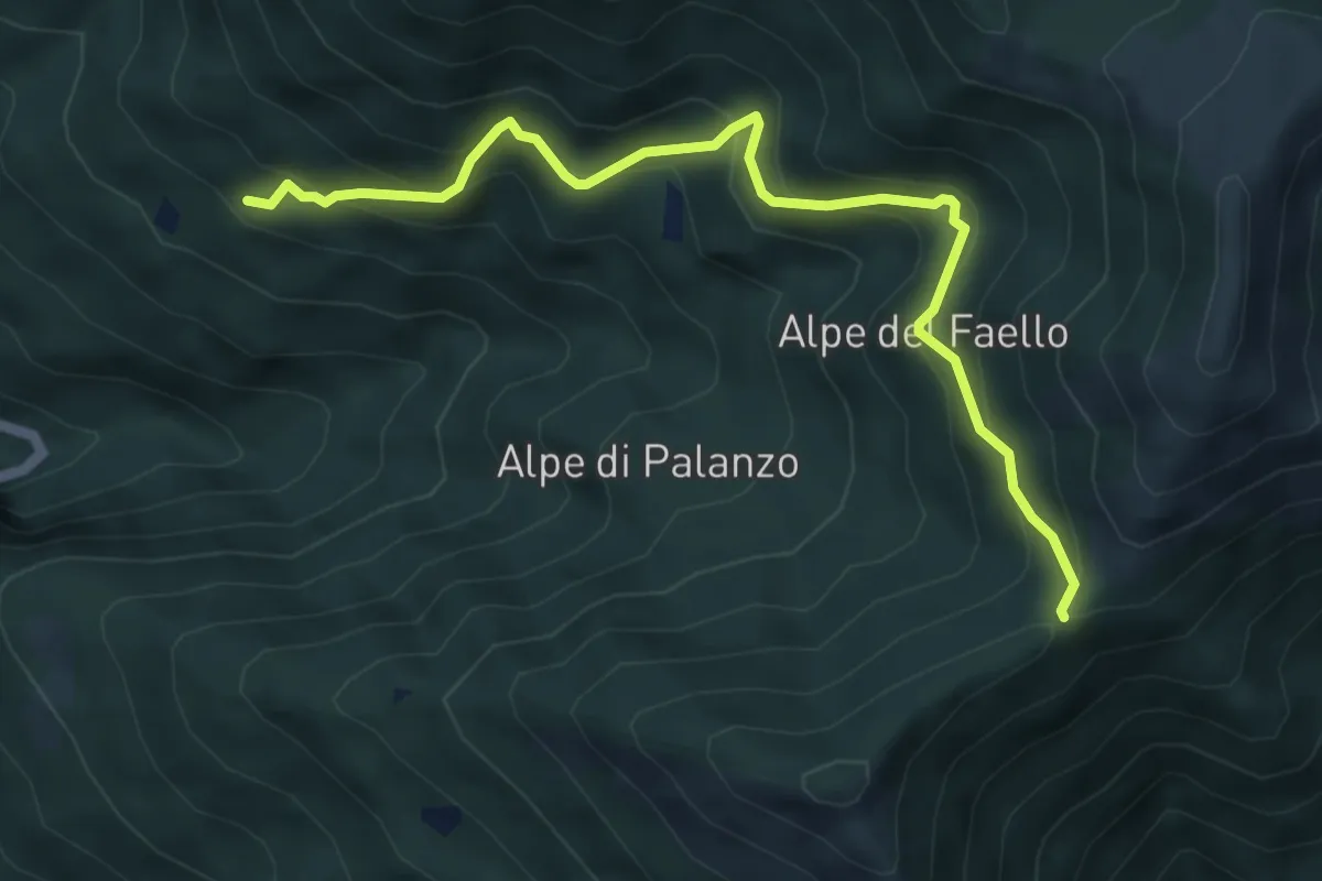
Medium · Trail
Il Gaggio (Faggeto Lario) – Bocchetta di Palanzo
5.8 km · ↑ 475 m · 2 h 24 min · 14 km away
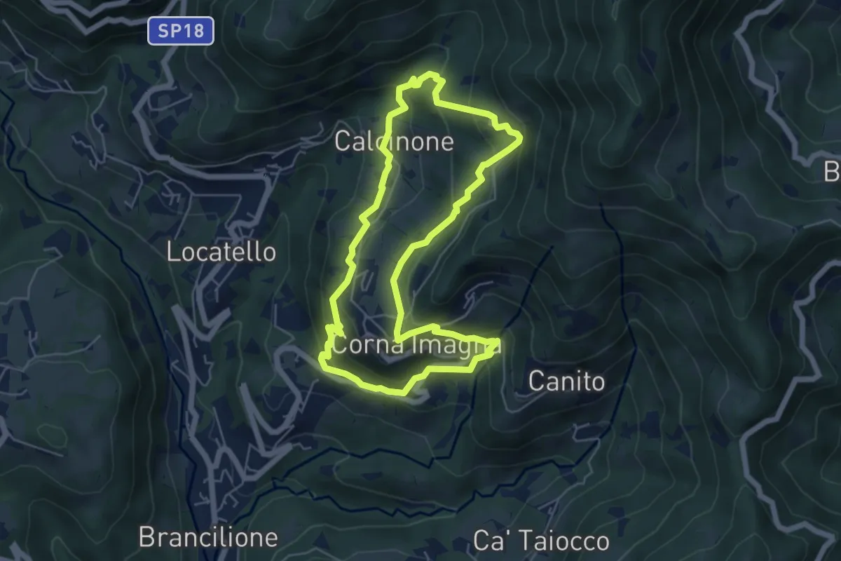
Easy · Trail
Sentiero del Castagno
5.2 km · ↑ 318 m · 2 h · 14 km away
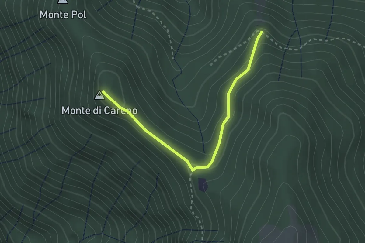
Medium · Summit
Radura – Monte Pol
2.5 km · ↑ 146 m · 55 min · 14 km away
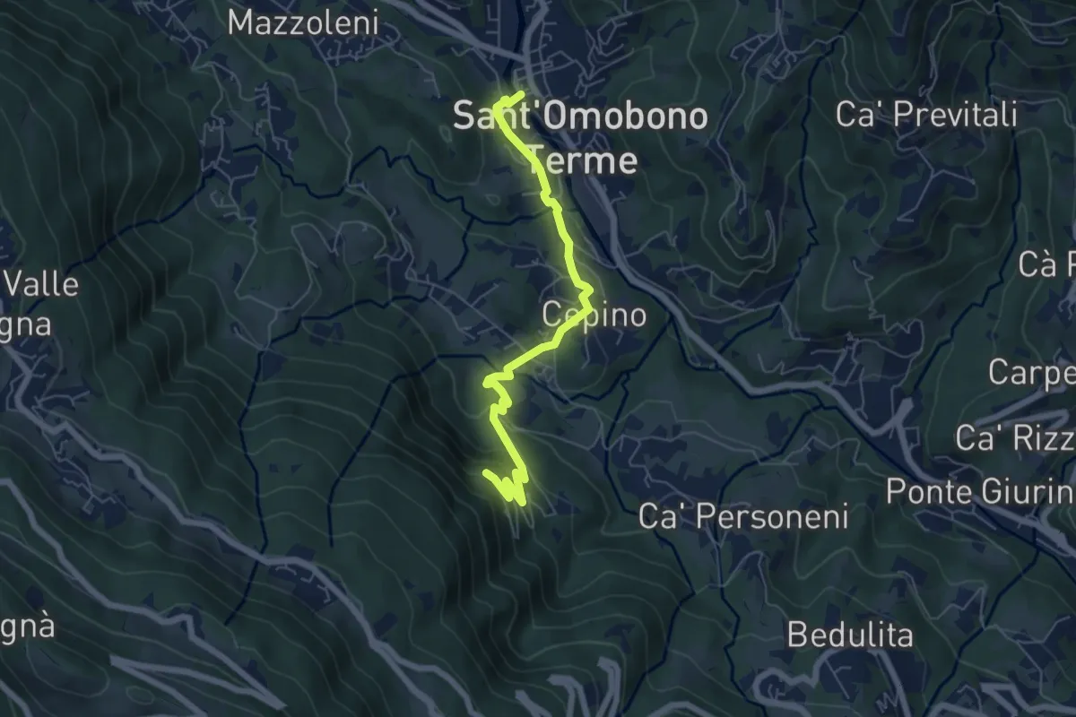
Easy · Trail
Selino Basso – Santuario della Cornabusa
6.0 km · ↑ 293 m · 2 h 3 min · 14 km away
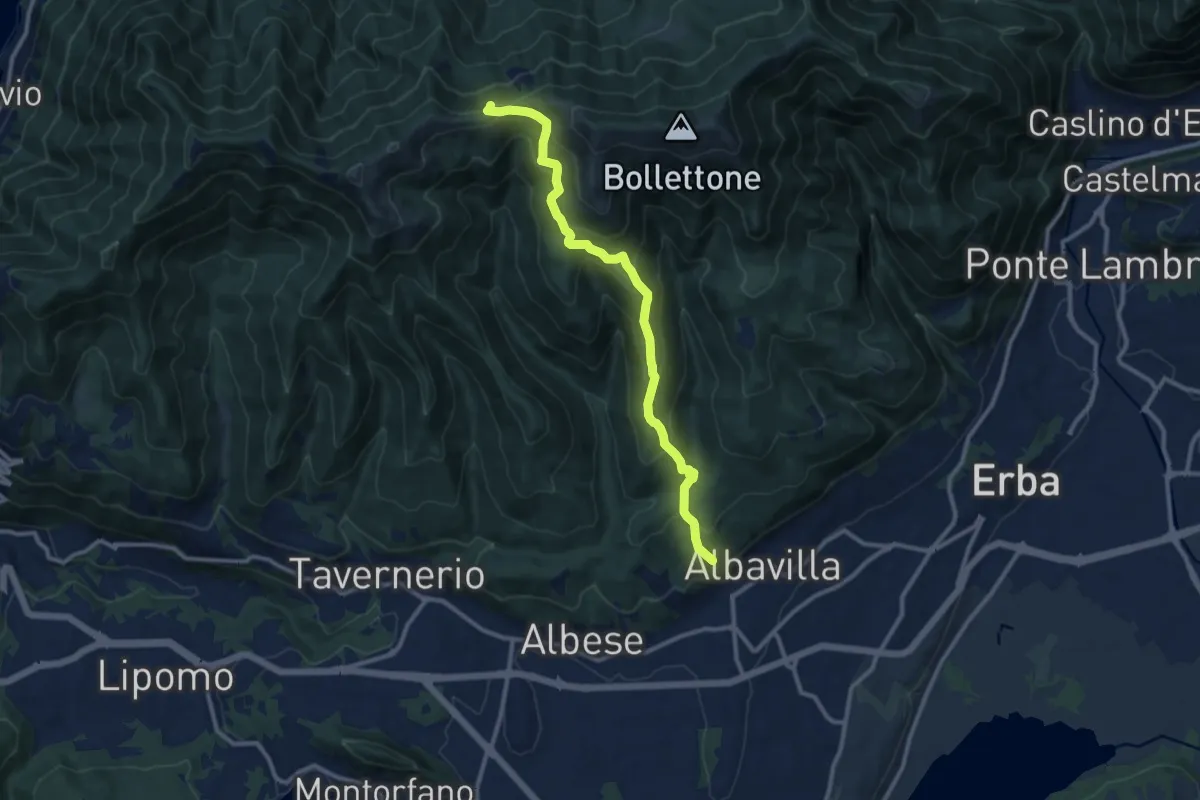
Medium · Trail
Sentiero 18: Albavilla (Via ai Monti) - Baita Patrizi - Bocchetta di Molina
10.9 km · ↑ 640 m · 3 h 58 min · 14 km away
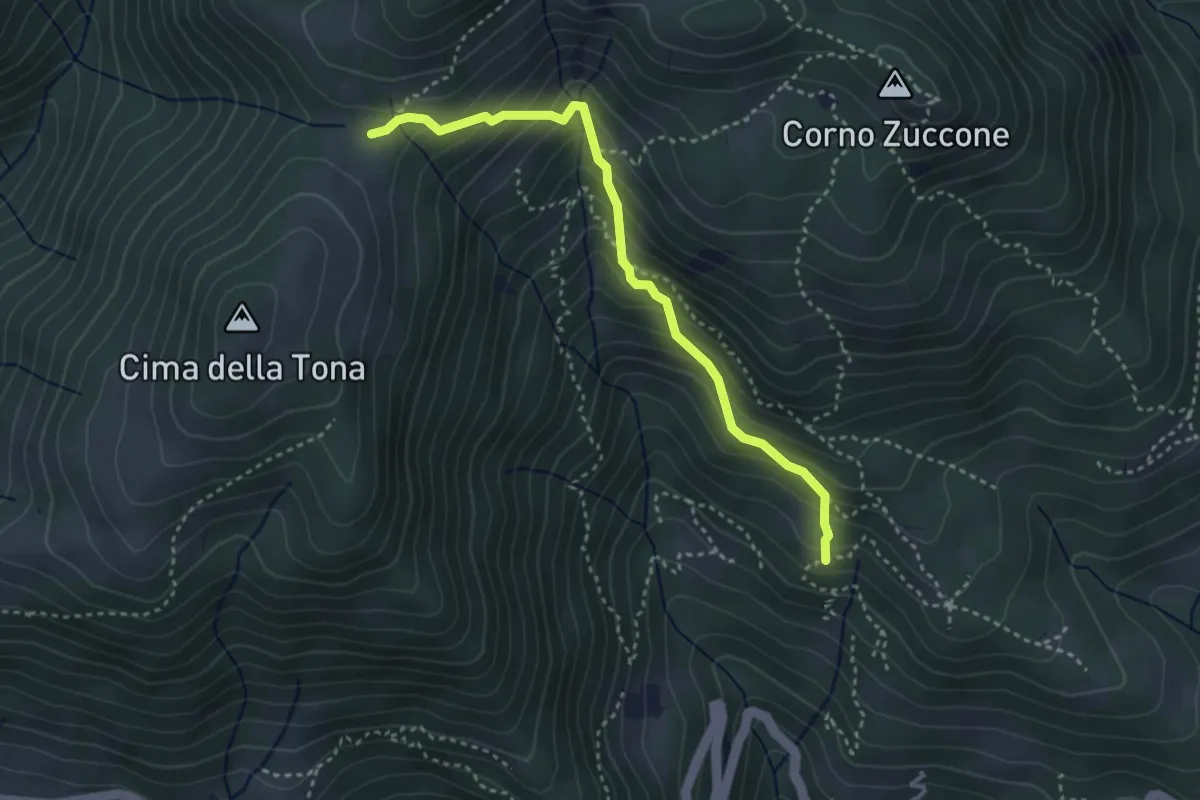
Medium · Trail
Baita Zucai (incrocio 152A) – Passo della Sella
3.5 km · ↑ 363 m · 1 h 36 min · 14 km away
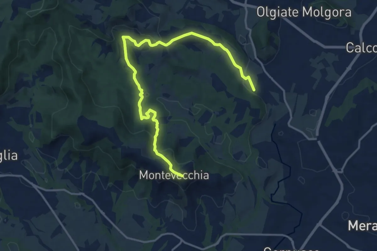
Medium · Summit
Cernusco Lombardone (FS) – Beolco
12.4 km · ↑ 430 m · 3 h 52 min · 14 km away
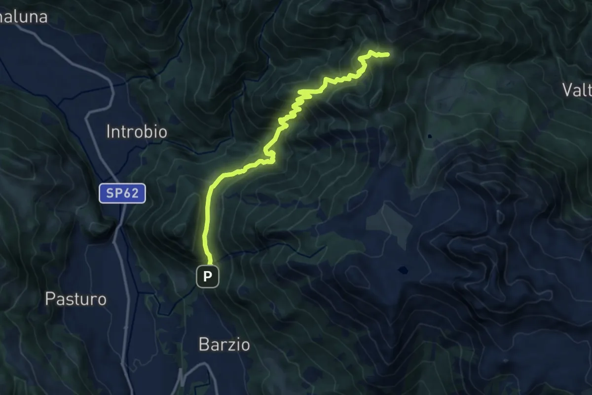
Demanding · Trail
Sentiero 19: Barzio - Passo del Gandazzo
12.2 km · ↑ 1197 m · 5 h 29 min · 15 km away
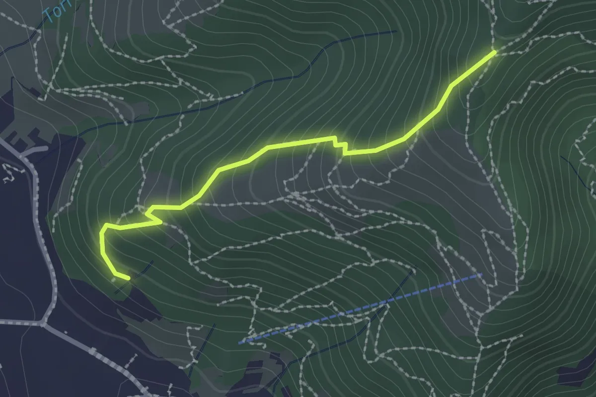
Medium · Trail
Moggio – Acquadela
2.2 km · ↑ 257 m · 1 h 4 min · 15 km away
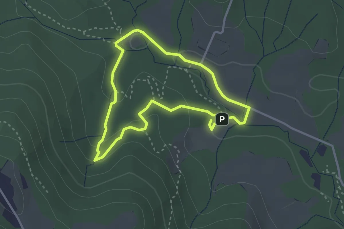
Easy · Trail
Percorso delle sorgenti petrificanti
2.5 km · ↑ 73 m · 46 min · 15 km away
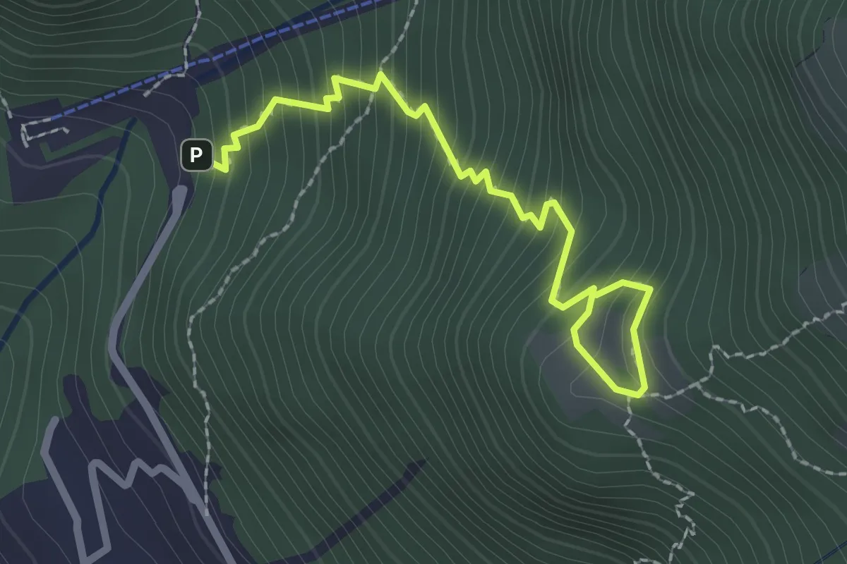
Medium · Trail
La Piazza – Masone
2.5 km · ↑ 294 m · 1 h 13 min · 15 km away
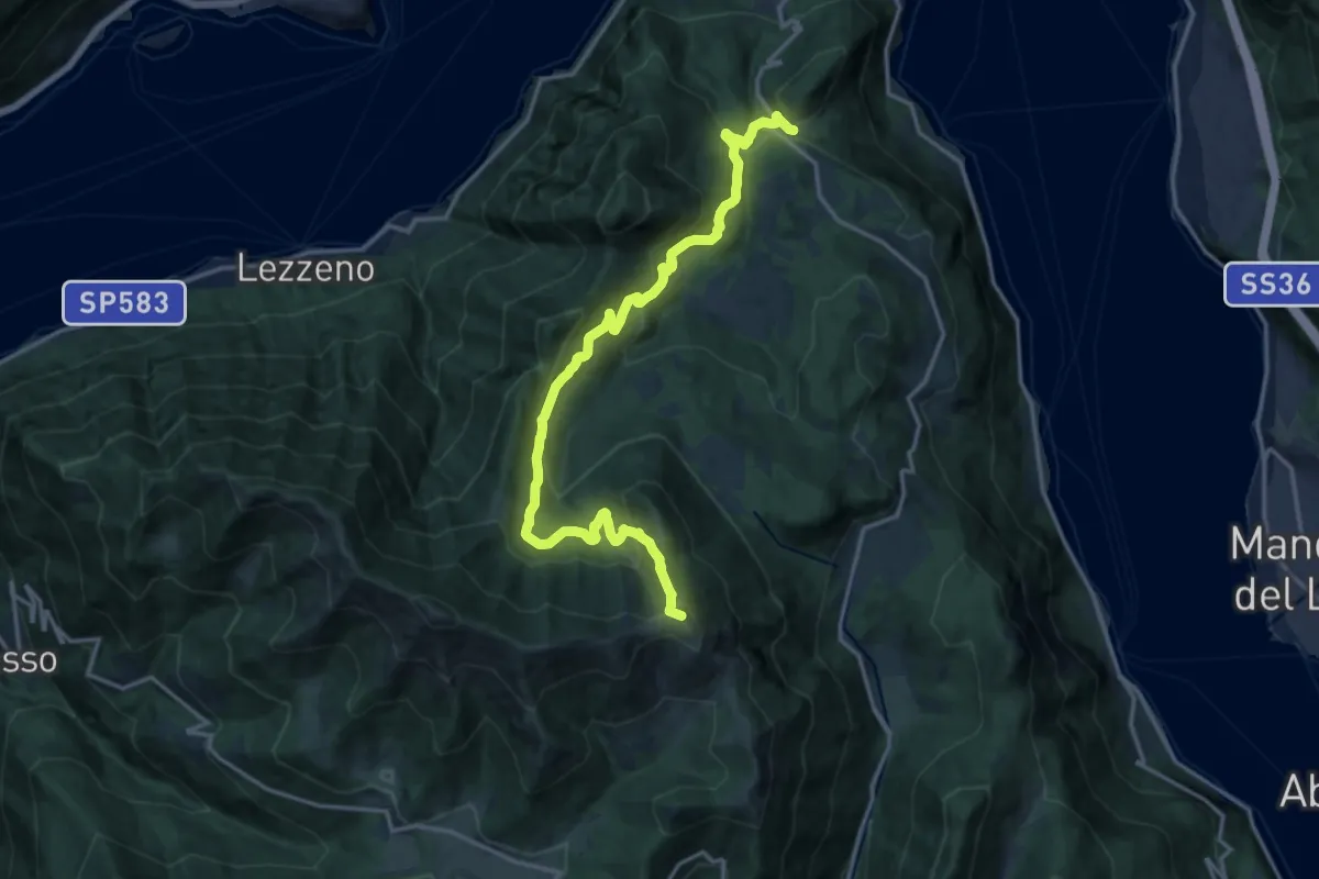
Demanding · Summit
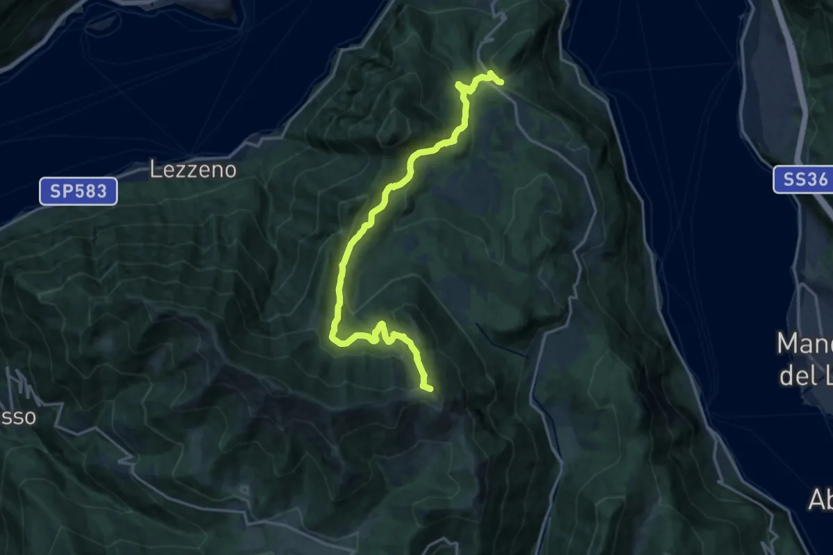
Chevrio – Bocchetta di Terrabiotta
18.0 km · ↑ 985 m · 6 h 23 min · 15 km away
Demanding · Summit
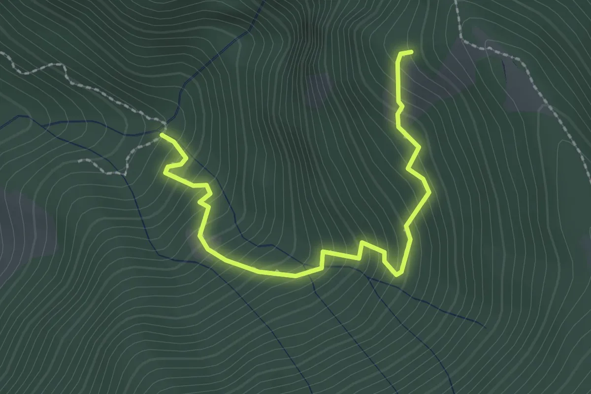
Chevrio – Bocchetta di Terrabiotta
17.2 km · ↑ 986 m · 6 h 11 min · 15 km away
Medium · Trail
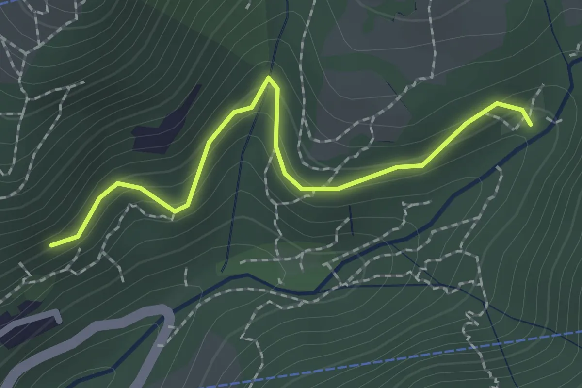
Innesto 728 – Innesto SASP58
2.5 km · ↑ 320 m · 1 h 17 min · 15 km away
Easy · Trail
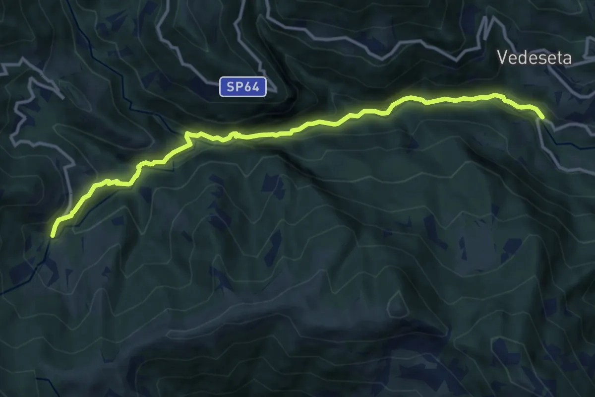
Innesto 724 – Pé Gròss
2.0 km · ↑ 162 m · 49 min · 15 km away
Medium · Trail
Ponte Lavina – Morterone
11.0 km · ↑ 607 m · 3 h 55 min · 15 km away
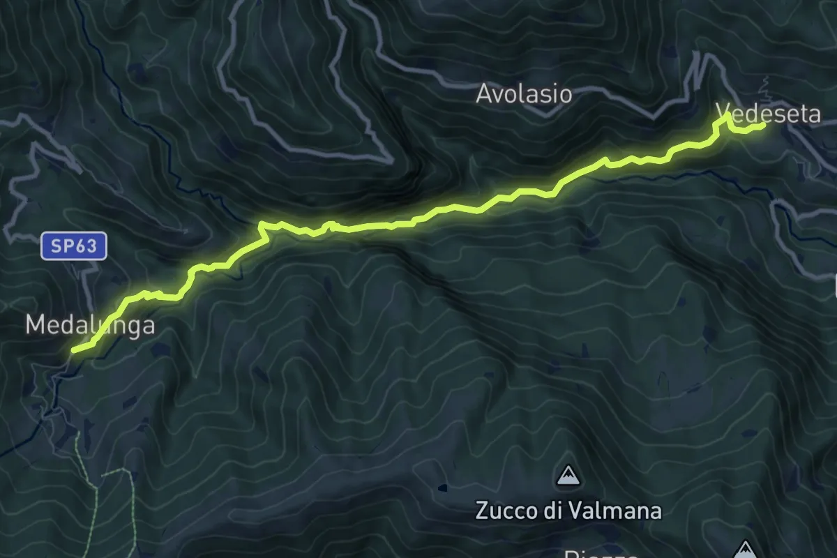
Medium · Trail
Morterone – Vedeseta
10.8 km · ↑ 671 m · 4 h 1 min · 15 km away
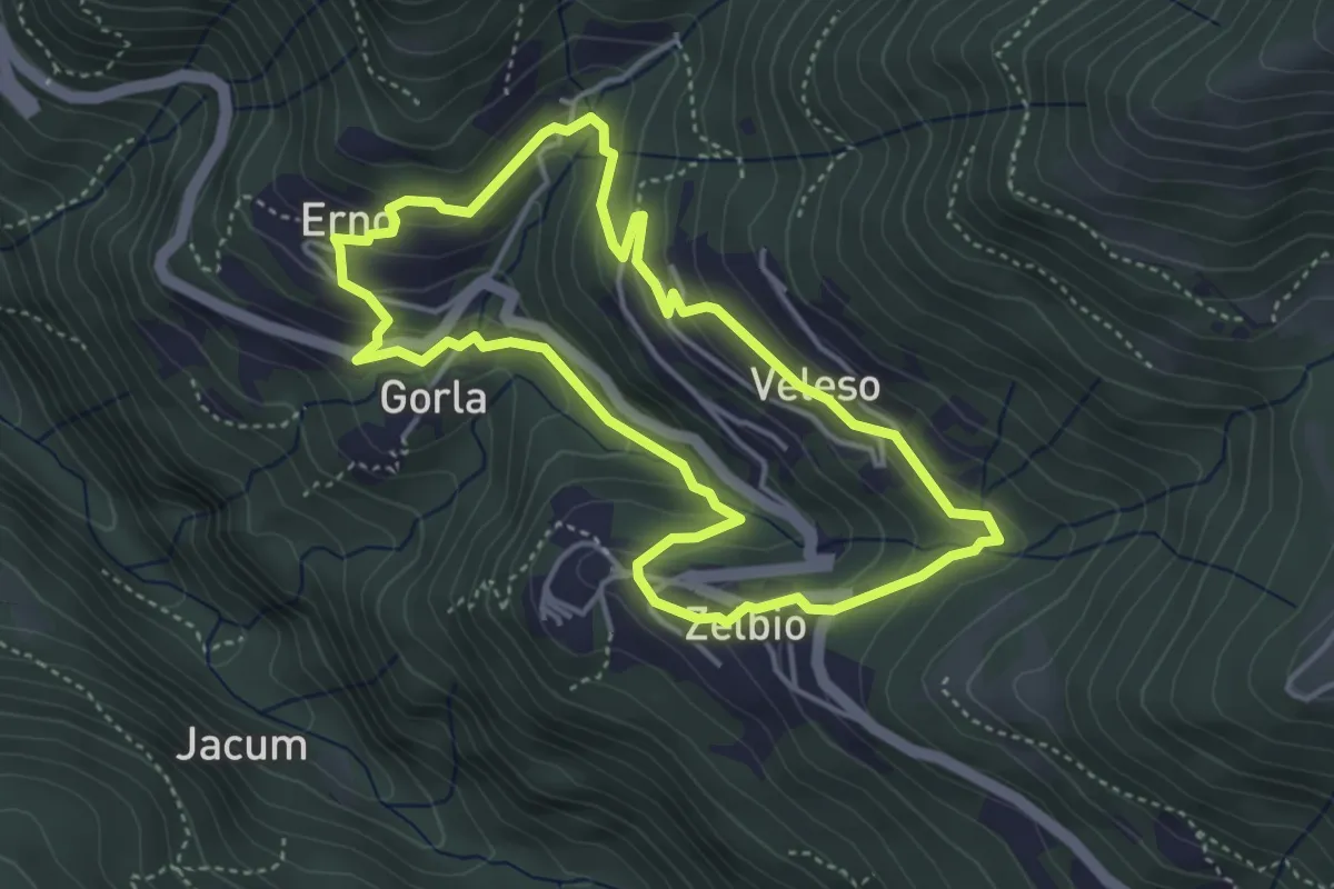
Easy · Trail
Anello dei tre campanili
4.0 km · ↑ 219 m · 1 h 29 min · 15 km away
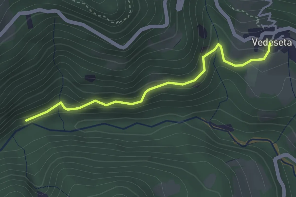
Medium · Trail
Vedeseta – Incrocio 156
3.1 km · ↑ 197 m · 1 h 9 min · 15 km away
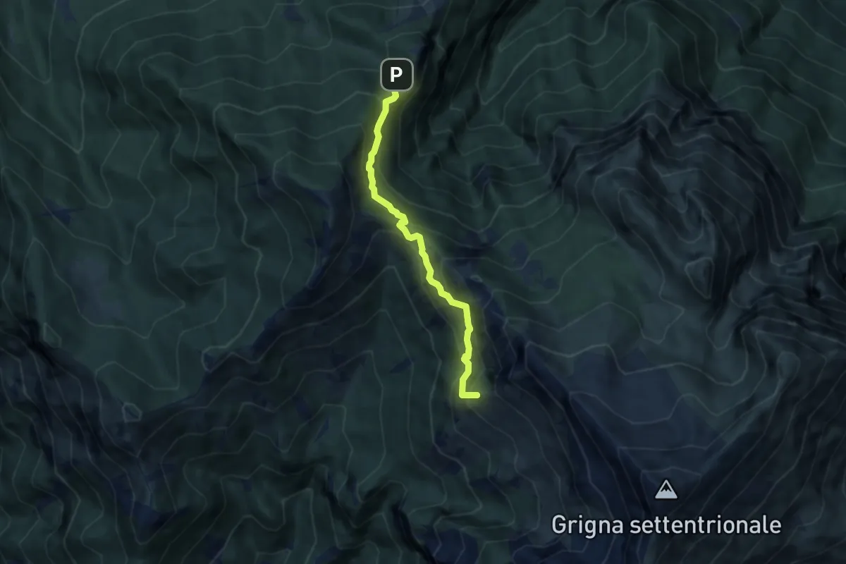
Medium · Summit
Cainallo - Rifugio Bietti
6.2 km · ↑ 536 m · 2 h 38 min · 15 km away
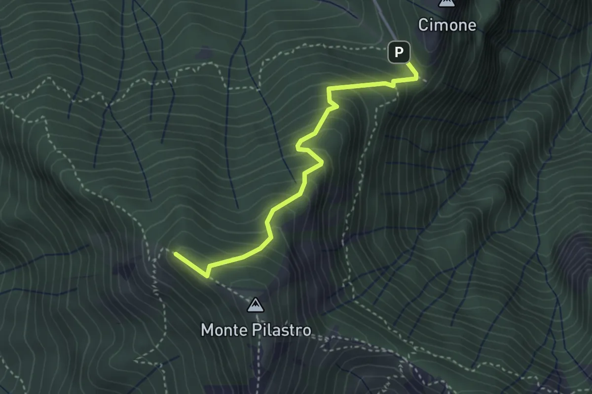
Medium · Summit
Vo di Moncodeno - Monte Croce
3.2 km · ↑ 355 m · 1 h 32 min · 15 km away
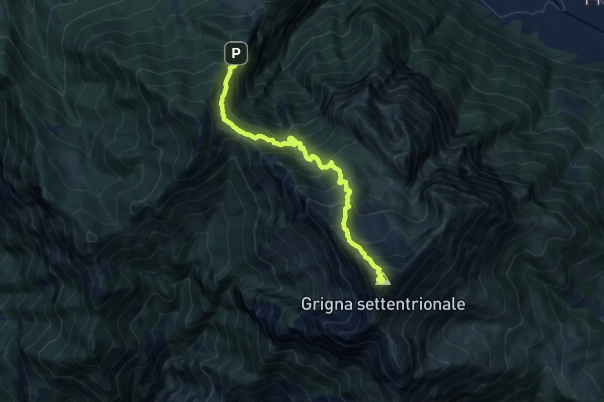
Demanding · Summit
Esino - Rifugio Brioschi
10.7 km · ↑ 1273 m · 5 h 16 min · 15 km away
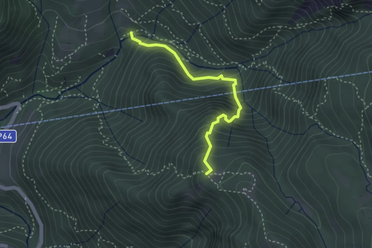
Medium · Trail
Pé Gròss – Prato del Darden basso
2.9 km · ↑ 449 m · 1 h 39 min · 15 km away
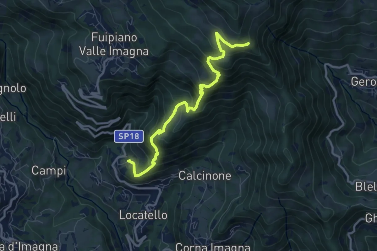
Medium · Trail
Locatello – Tre Faggi
8.1 km · ↑ 678 m · 3 h 23 min · 15 km away
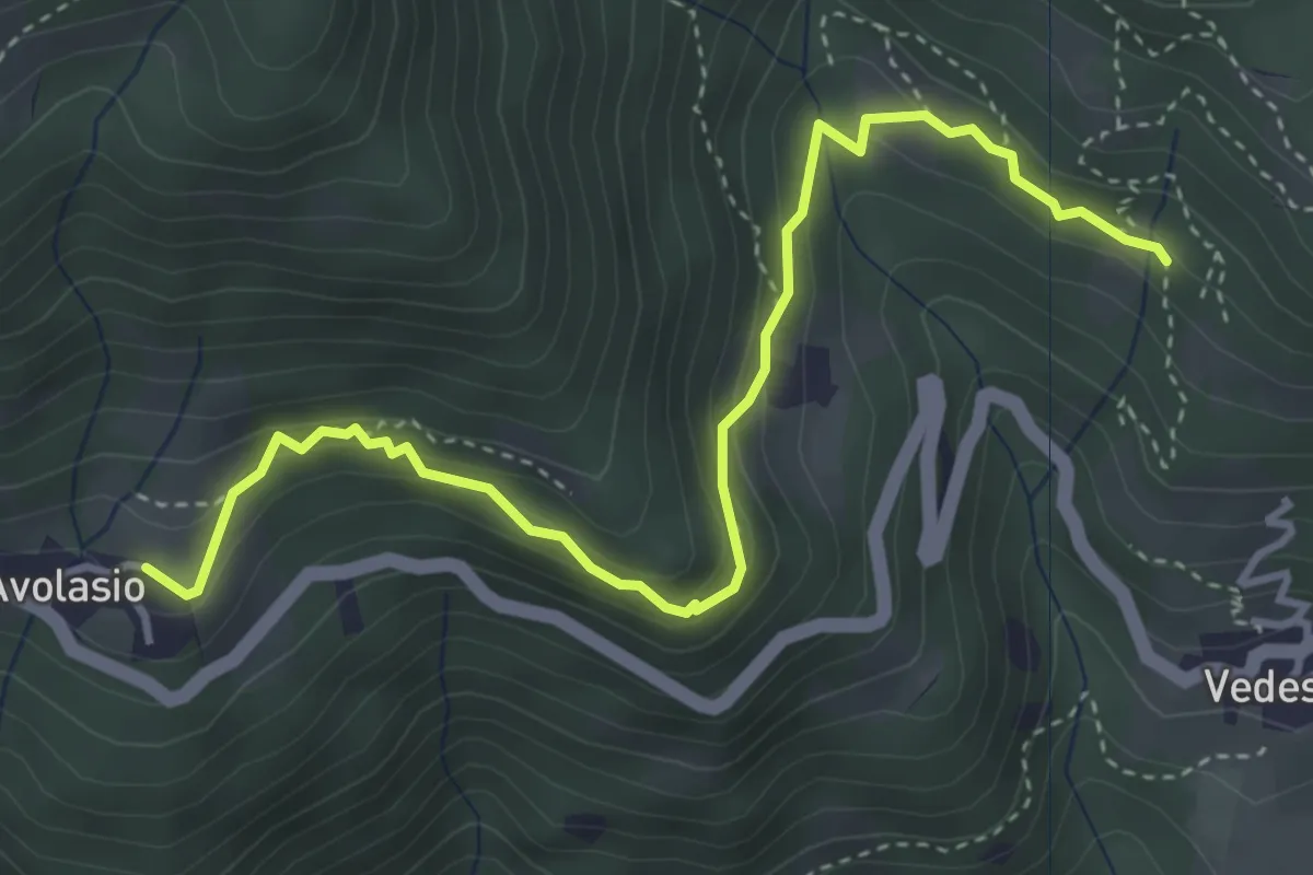
Medium · Trail
Avolasio – Salguggia (incrocio 152A)
4.4 km · ↑ 241 m · 1 h 33 min · 15 km away
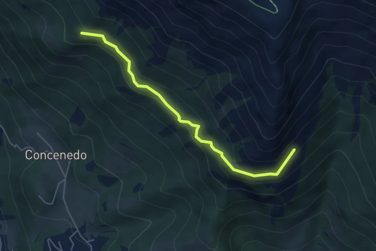
Medium · Trail
Piazza Alta – Baita Pesciola bassa
4.3 km · ↑ 269 m · 1 h 36 min · 15 km away