Trails near Varazze
100 hikes starting within 15 km, nearest first.
Nearest first, page 1 of 3
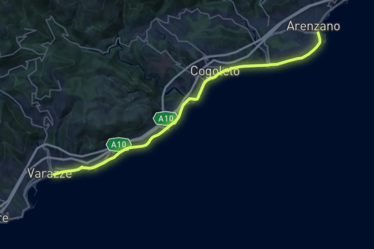
Demanding · Trail
Sentiero Liguria - Tappa 15
21.5 km · ↑ 247 m · 5 h 36 min · under 1 km away
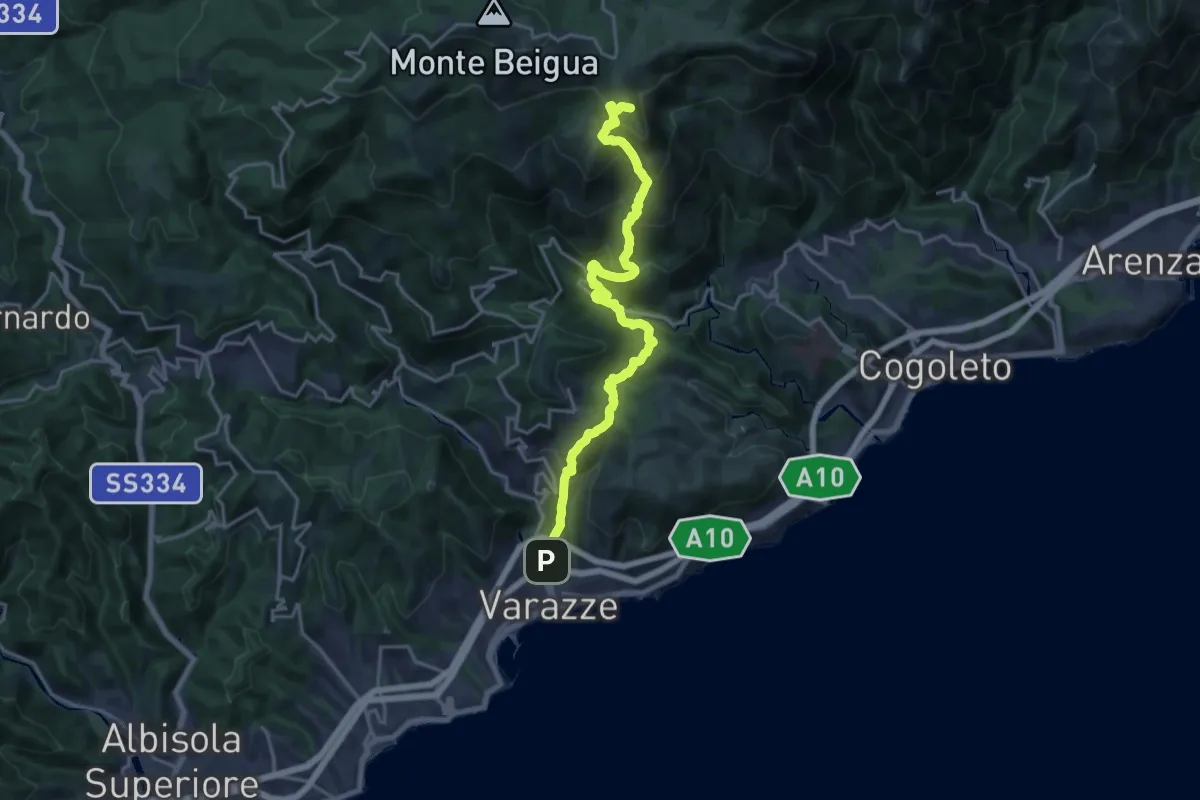
Demanding · Summit
Varazze – Pratorotondo
20.4 km · ↑ 1388 m · 7 h 49 min · 1 km away
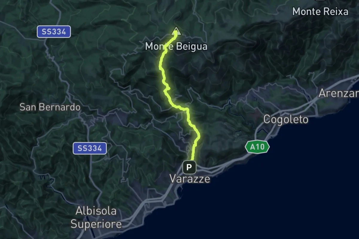
Demanding · Summit
Varazze – Monte Beigua
20.4 km · ↑ 1374 m · 7 h 47 min · 1 km away
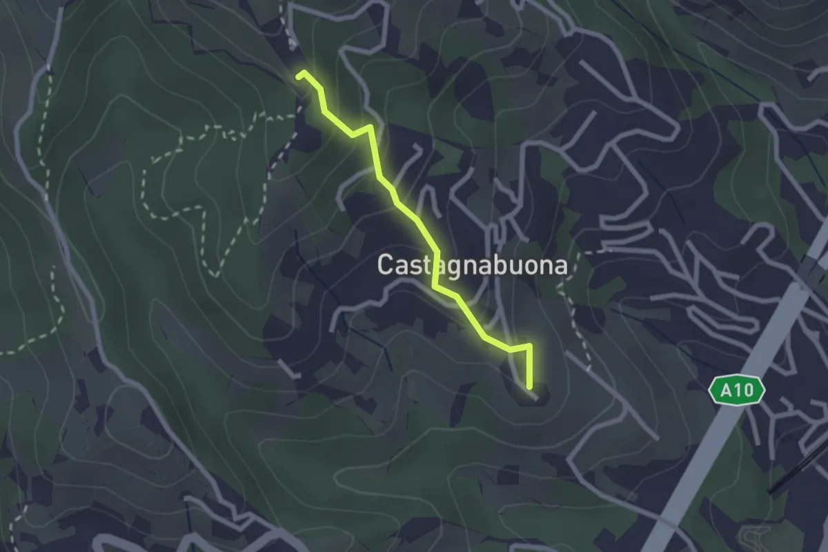
Easy · Summit
Varazze - Castagnabuona - Croce di Castagnabuona
1.9 km · ↑ 141 m · 45 min · 2 km away
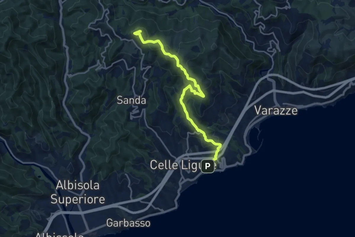
Medium · Summit
Celle Ligure - Bric delle Forche
13.1 km · ↑ 625 m · 4 h 27 min · 2 km away
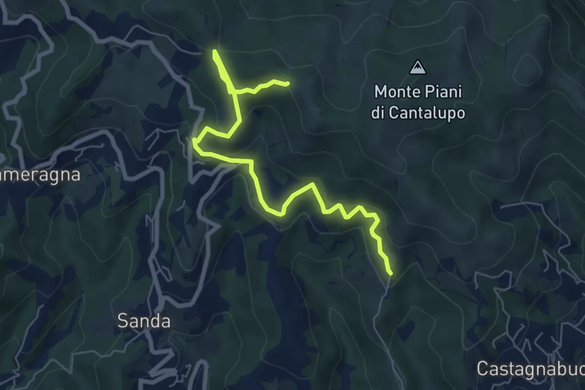
Easy · Trail
Variante Bassa Due Quadrati Rossi
6.7 km · ↑ 308 m · 2 h 15 min · 2 km away
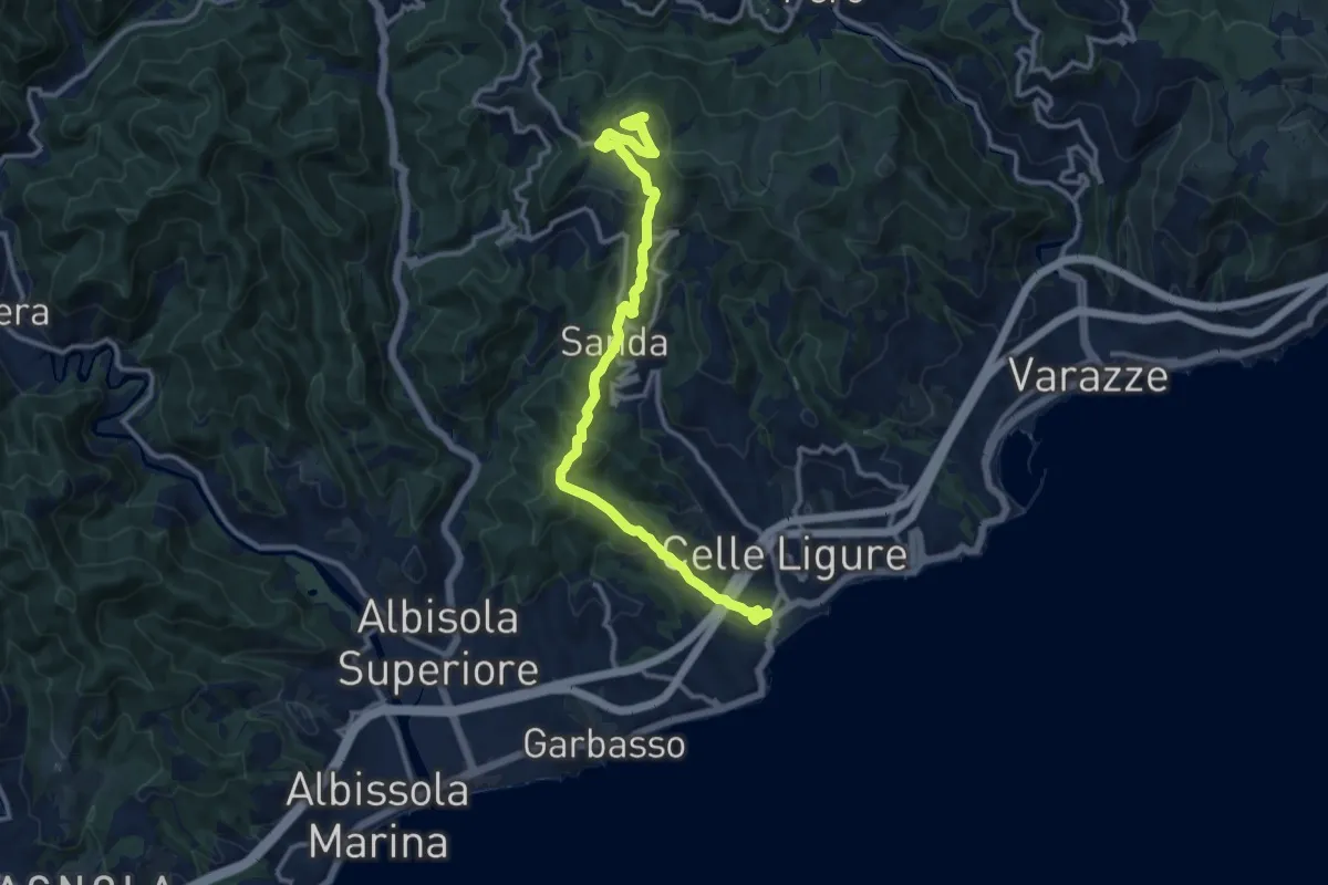
Medium · Summit
Celle Ligure - Sanda - Bric delle Forche
13.5 km · ↑ 566 m · 4 h 24 min · 3 km away
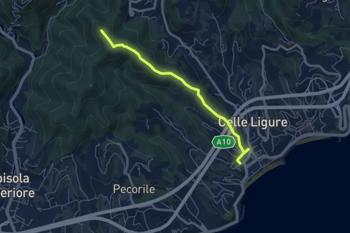
Easy · Summit
Stazione FS – Bric Croi
5.2 km · ↑ 240 m · 1 h 44 min · 3 km away
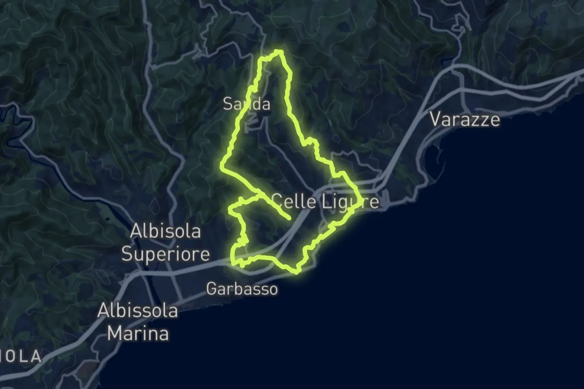
Medium · Summit
Anello delle 7 Chiese
14.1 km · ↑ 534 m · 4 h 40 min · 4 km away
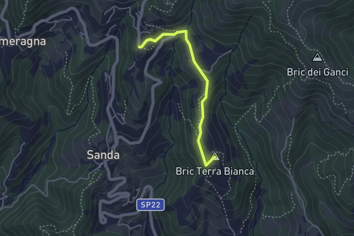
Easy · Summit
Celle Ligure - Brasi - Vespa
3.1 km · ↑ 79 m · 54 min · 4 km away
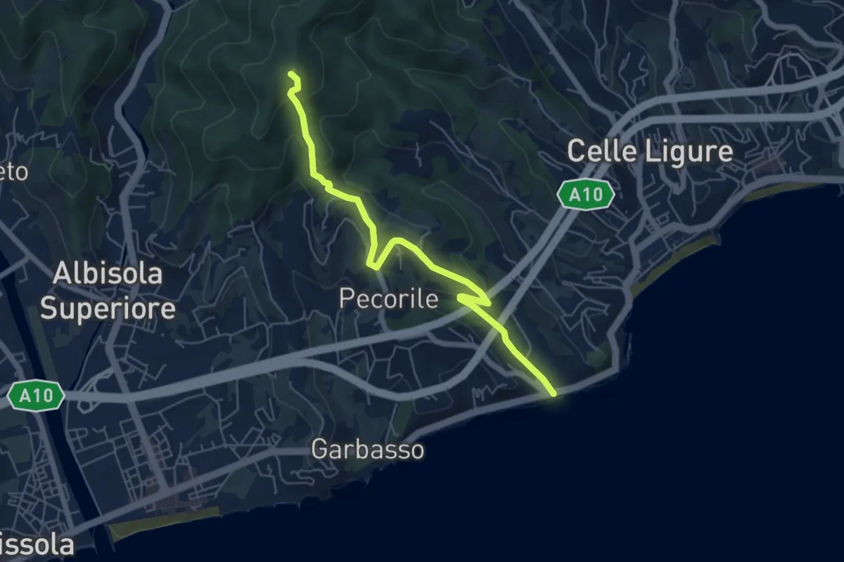
Demanding · Summit
Roglio - Torre del Bregalla
5.8 km · ↑ 254 m · 1 h 55 min · 4 km away
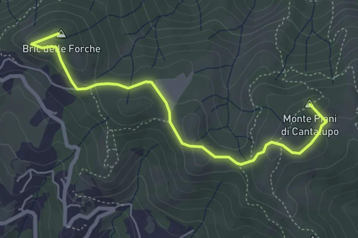
Medium · Summit
Varazze - Cantalupo - Bric delle Forche
4.8 km · ↑ 170 m · 1 h 30 min · 4 km away
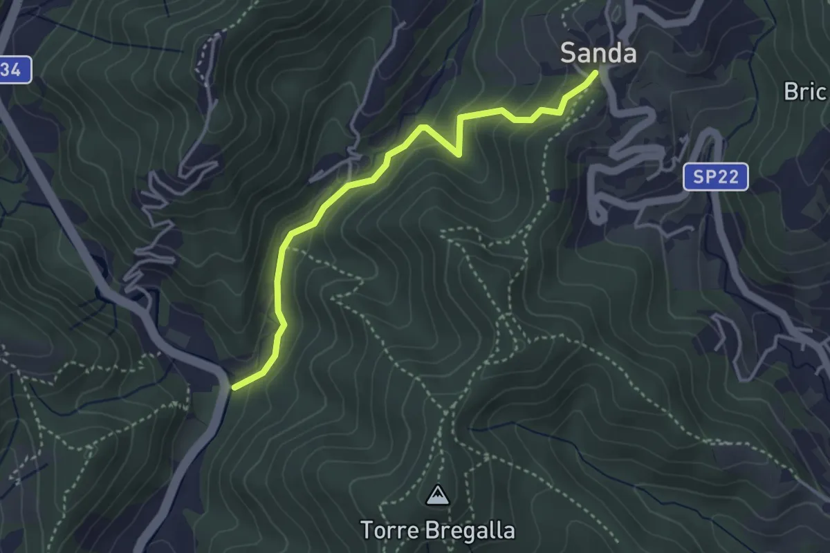
Easy · Trail
Santuario della Pace - Remenone - Sanda
3.6 km · ↑ 192 m · 1 h 16 min · 5 km away
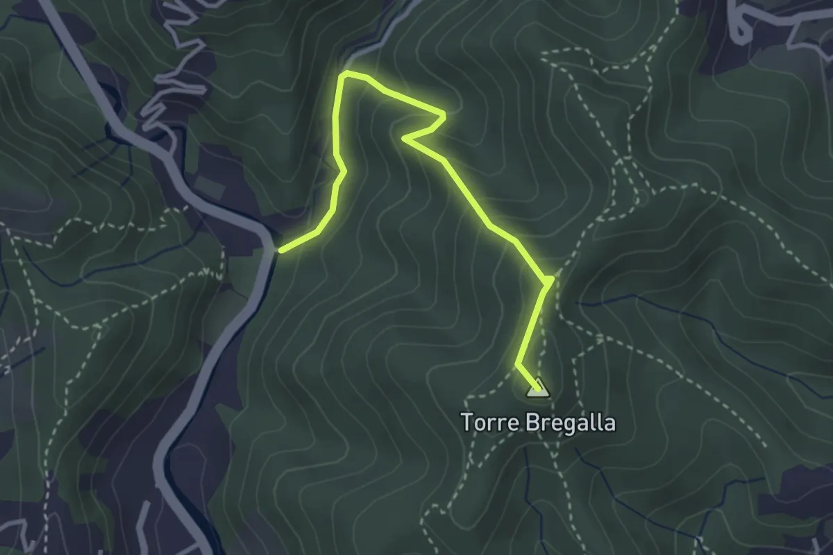
Demanding · Summit
Albisola - Via dei Siri - Torre Bregalla - Strada Santuario della Pace
3.3 km · ↑ 215 m · 1 h 15 min · 5 km away
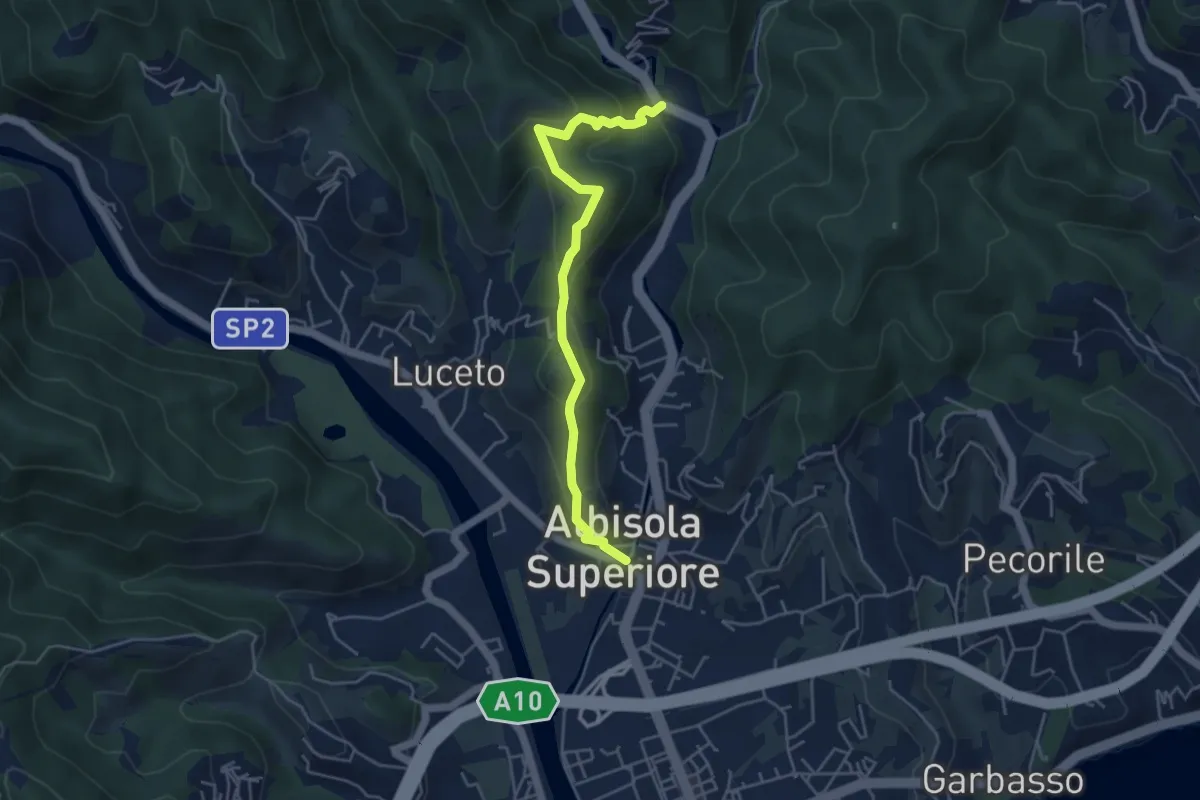
Medium · Summit
Chiesa di San Nicolò - Castellaro - Santuario della Pace
2.4 km · ↑ 134 m · 54 min · 5 km away
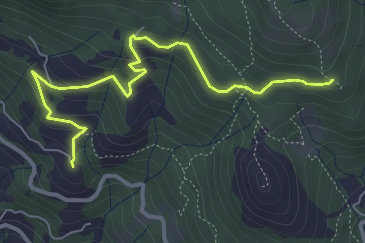
Medium · Summit
Alpicella – Strada Megalitica
5.5 km · ↑ 311 m · 1 h 59 min · 5 km away
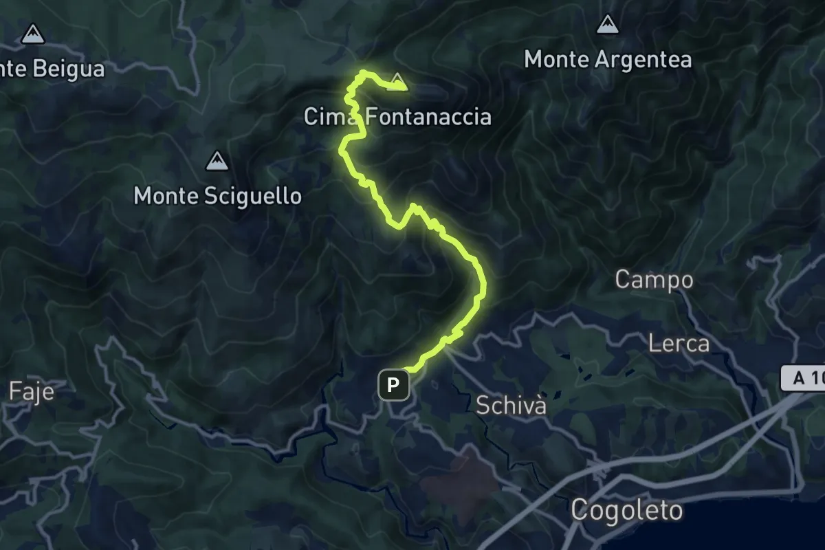
Demanding · Summit
Sciarborasca – Monte Rama
12.3 km · ↑ 998 m · 5 h 4 min · 5 km away
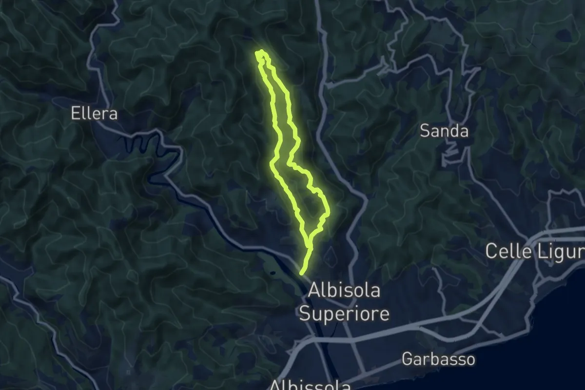
Medium · Summit
Luceto - Pian del Pero - Luceto
7.8 km · ↑ 331 m · 2 h 40 min · 6 km away
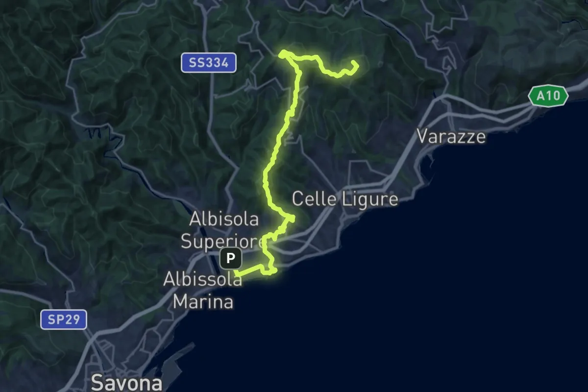
Demanding · Summit
Sentiero Liguria - Tappa 16
22.2 km · ↑ 704 m · 6 h 47 min · 6 km away
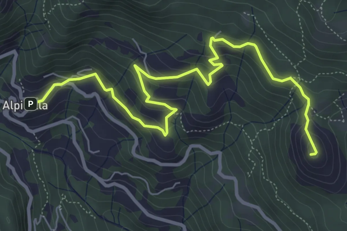
Medium · Summit
Alpicella – Monte Greppino
7.7 km · ↑ 410 m · 2 h 43 min · 6 km away
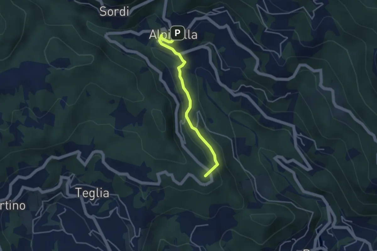
Medium · Summit
Alpicella – Scavi archeologici
3.2 km · ↑ 164 m · 1 h 7 min · 6 km away
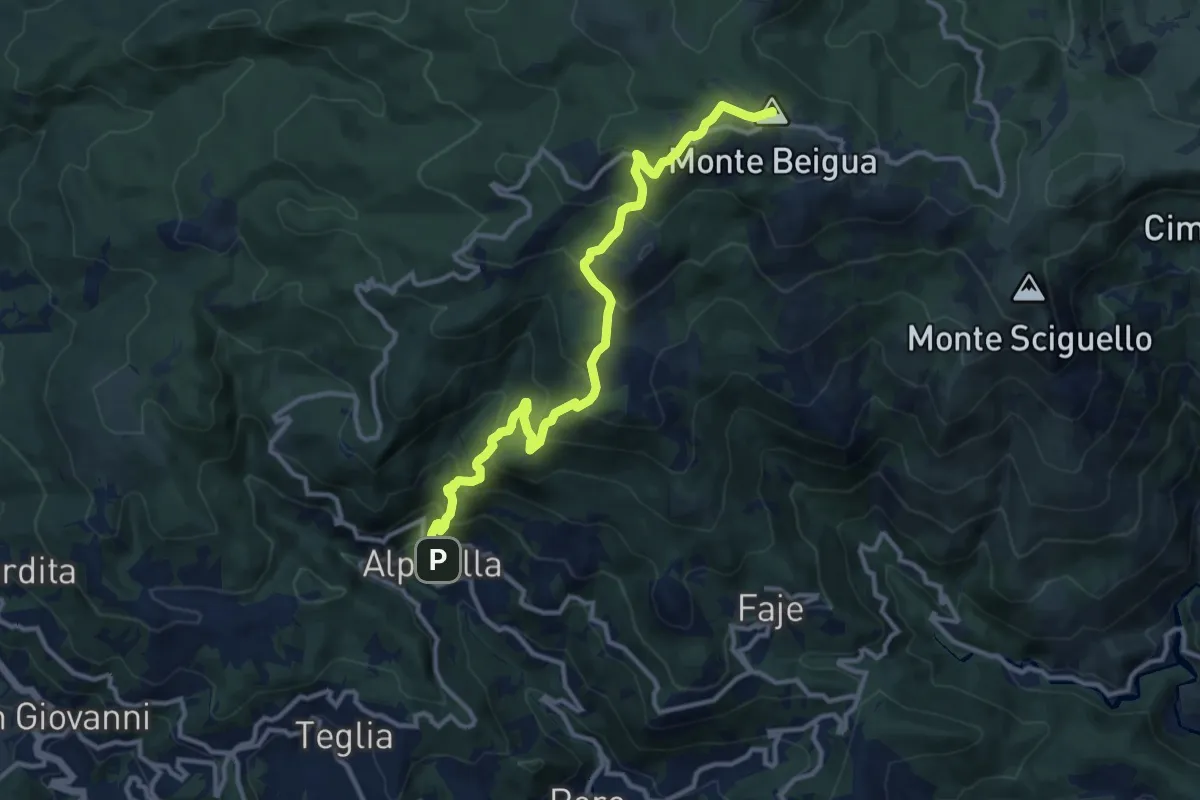
Demanding · Summit
Alpicella – Monte Beigua
12.9 km · ↑ 908 m · 5 h 1 min · 6 km away
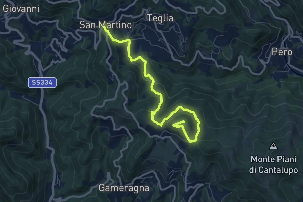
Medium · Summit
Stella San Martino - Bric delle Forche
8.2 km · ↑ 473 m · 2 h 58 min · 6 km away
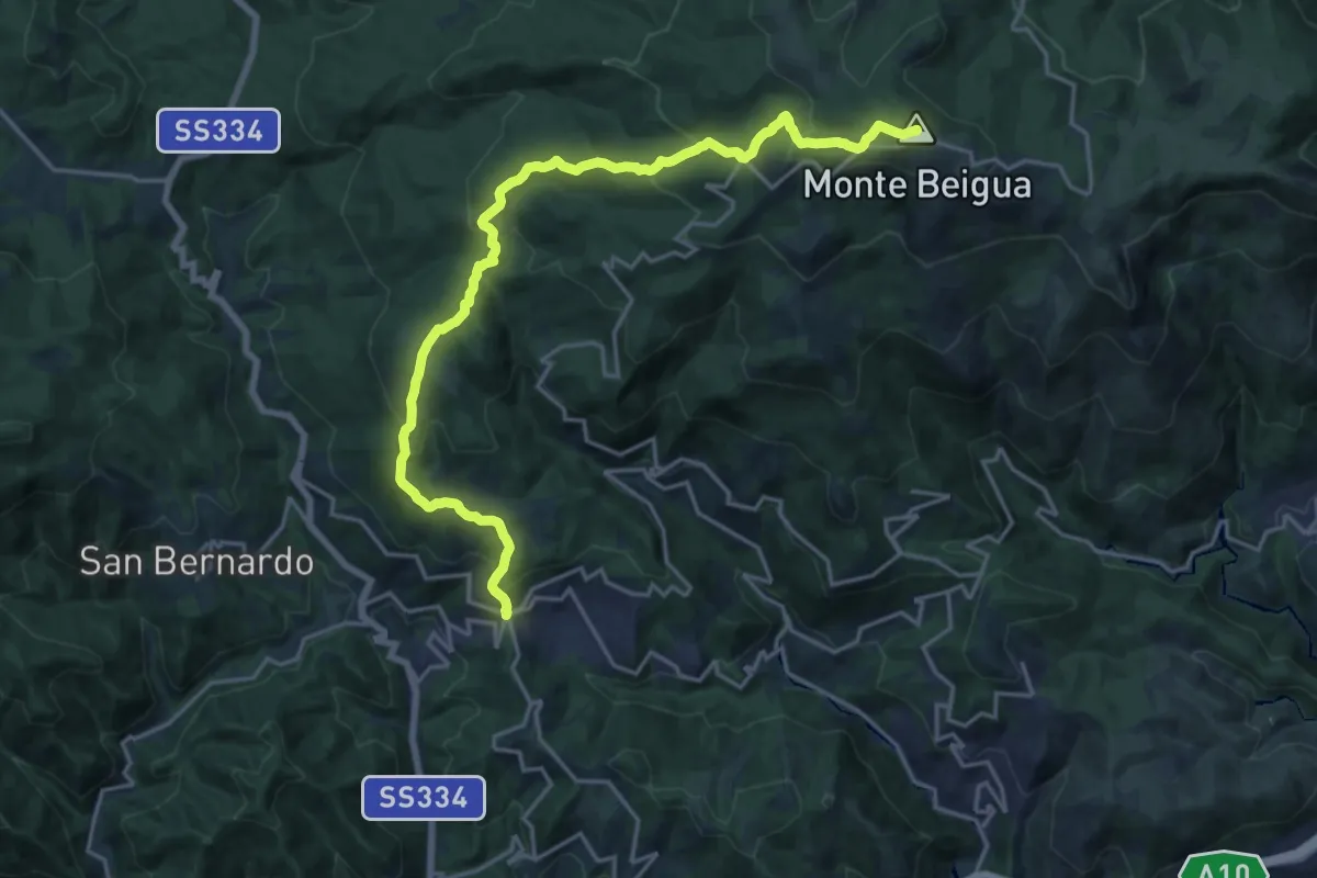
Demanding · Summit
Stella San Martino – Pian di Stella
21.1 km · ↑ 1026 m · 7 h 13 min · 6 km away
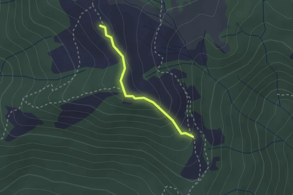
Demanding · Summit
Collegamento tra "Croce Rossa" e "Traingolo Rosso Vuoto"
1.8 km · ↑ 123 m · 42 min · 6 km away
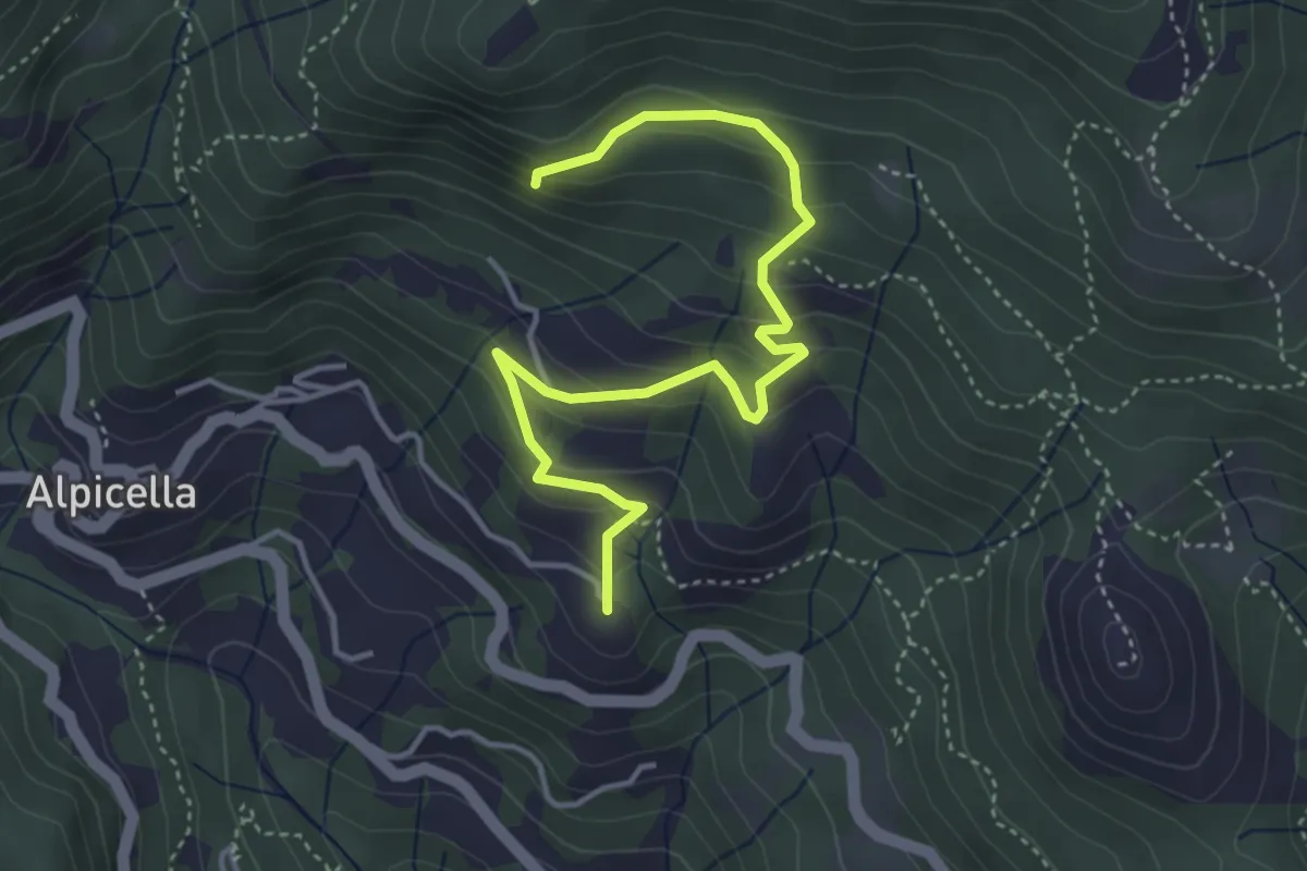
Easy · Summit
Alpicella – S. Anna
4.7 km · ↑ 319 m · 1 h 48 min · 6 km away
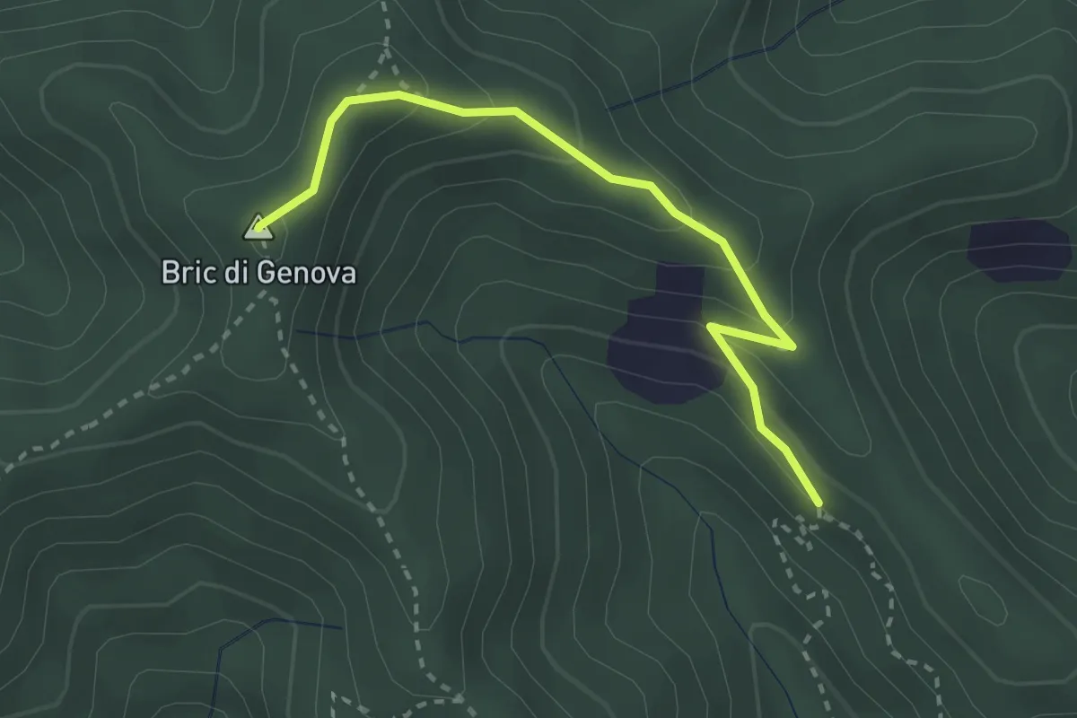
Easy · Summit
Collegamento Bric Genova
2.9 km · ↑ 165 m · 1 h 2 min · 7 km away
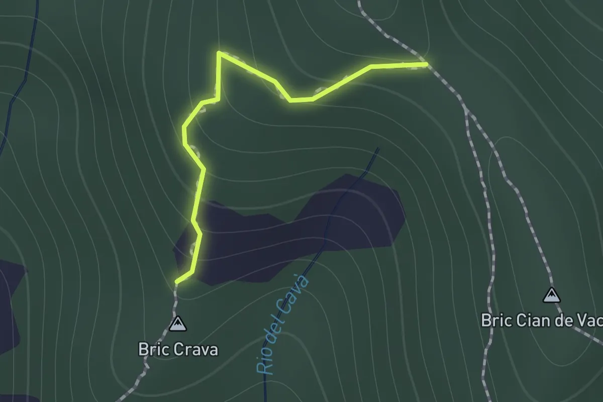
Medium · Summit
Collegamento Magrania
0.9 km · ↑ 83 m · 23 min · 7 km away
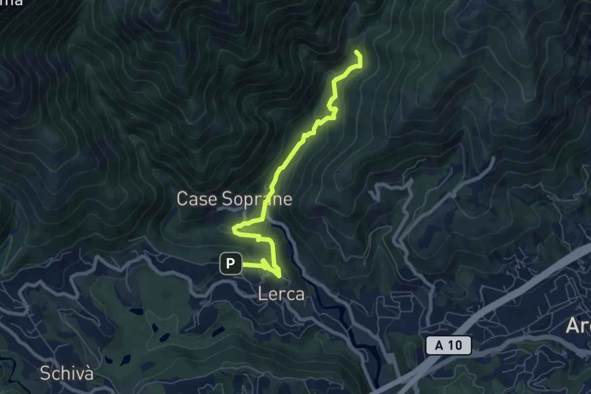
Medium · Trail
S. Anna – Ponte Negrone
6.6 km · ↑ 280 m · 2 h 11 min · 8 km away
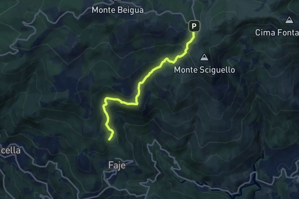
Medium · Summit
Chiesa delle Faie – Pratorotondo
8.7 km · ↑ 528 m · 3 h 11 min · 8 km away
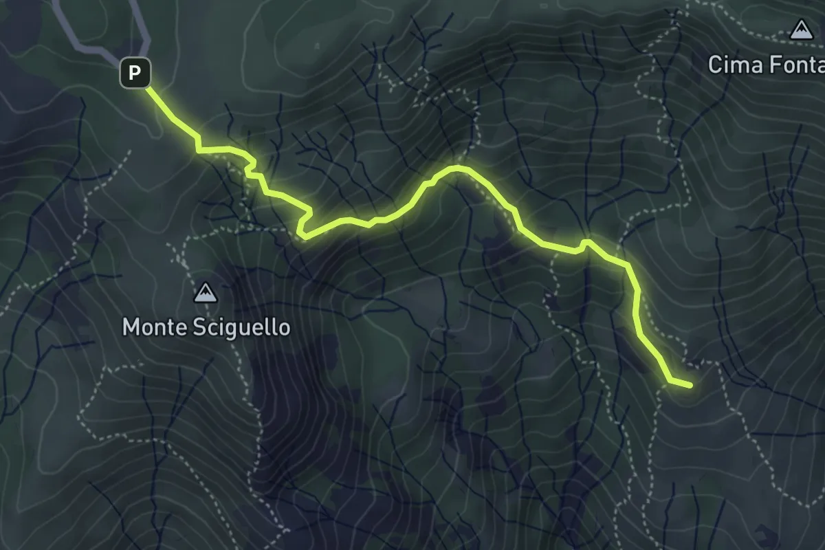
Medium · Summit
Sciarborasca – Prato Rotondo
5.2 km · ↑ 400 m · 2 h 6 min · 8 km away
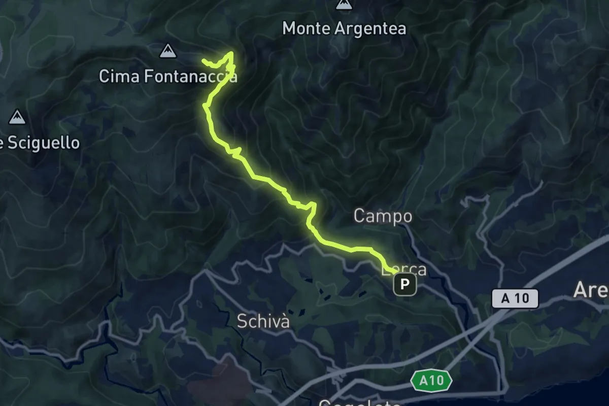
Demanding · Summit
Lerca – Monte Rama
10.8 km · ↑ 1094 m · 4 h 55 min · 8 km away
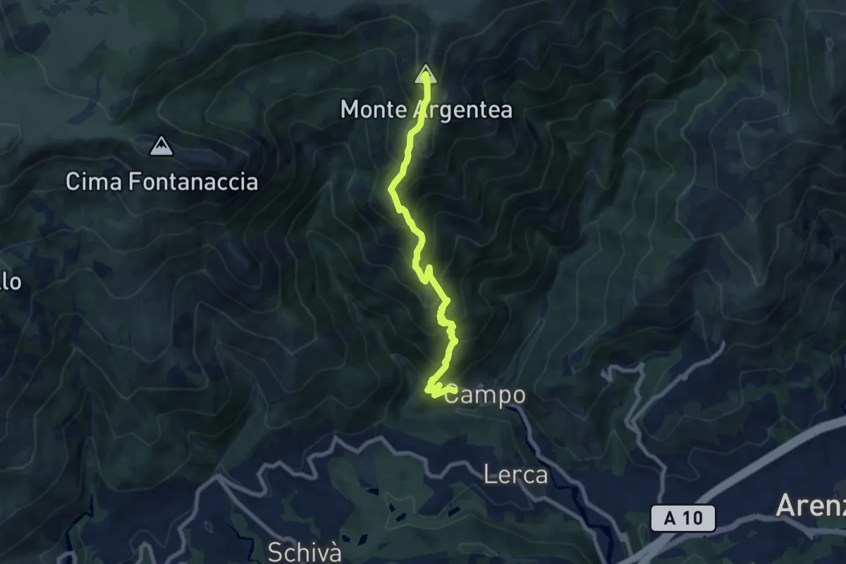
Demanding · Summit
Sentiero Stella Bianca (Case Soprane - Monte Argentea)
7.8 km · ↑ 965 m · 3 h 55 min · 8 km away
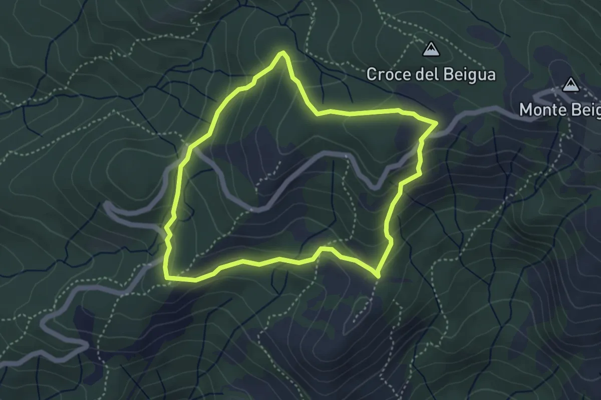
Medium · Summit
Sentiero Napoleonico del Beigua "rosso"
3.9 km · ↑ 177 m · 1 h 22 min · 8 km away
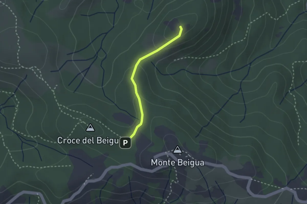
Medium · Summit
Sella del Beigua - Monte Grosso
2.1 km · ↑ 81 m · 41 min · 8 km away
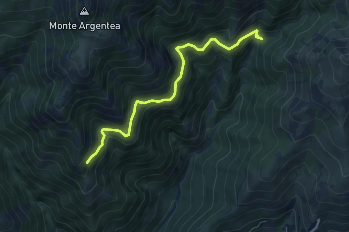
Demanding · Trail
Gua dall'Omu – Passo do Figu
6.4 km · ↑ 531 m · 2 h 40 min · 9 km away
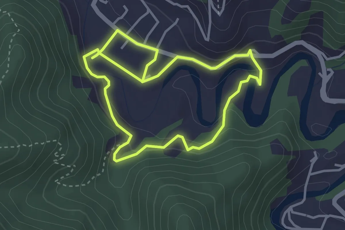
Easy · Trail
Anello Meadri di Ellera
2.9 km · ↑ 156 m · 1 h 3 min · 9 km away
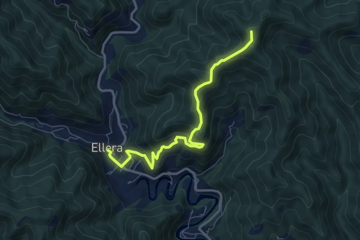
Medium · Summit
Luceto-Canavisse-Ellera
7.2 km · ↑ 497 m · 2 h 46 min · 9 km away
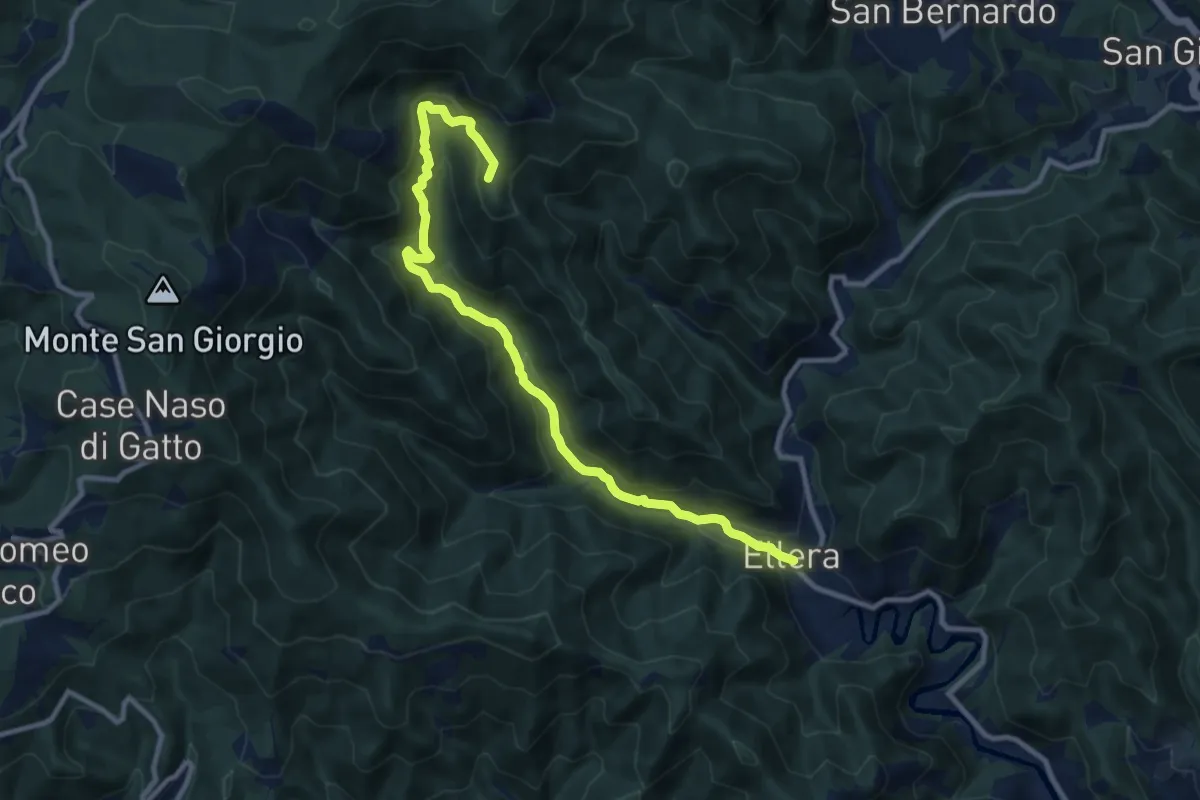
Medium · Summit
Ellera - Le Cercie - Arpetto - AV
11.1 km · ↑ 643 m · 4 h 1 min · 9 km away
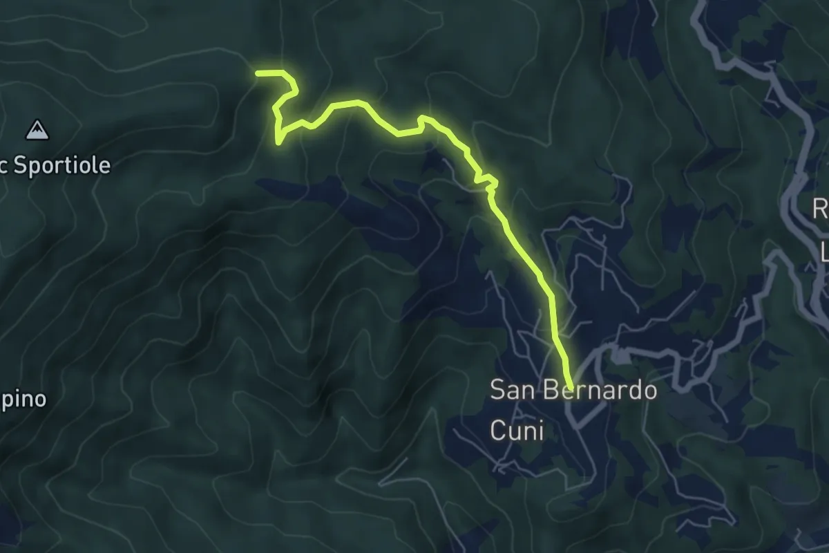
Medium · Summit
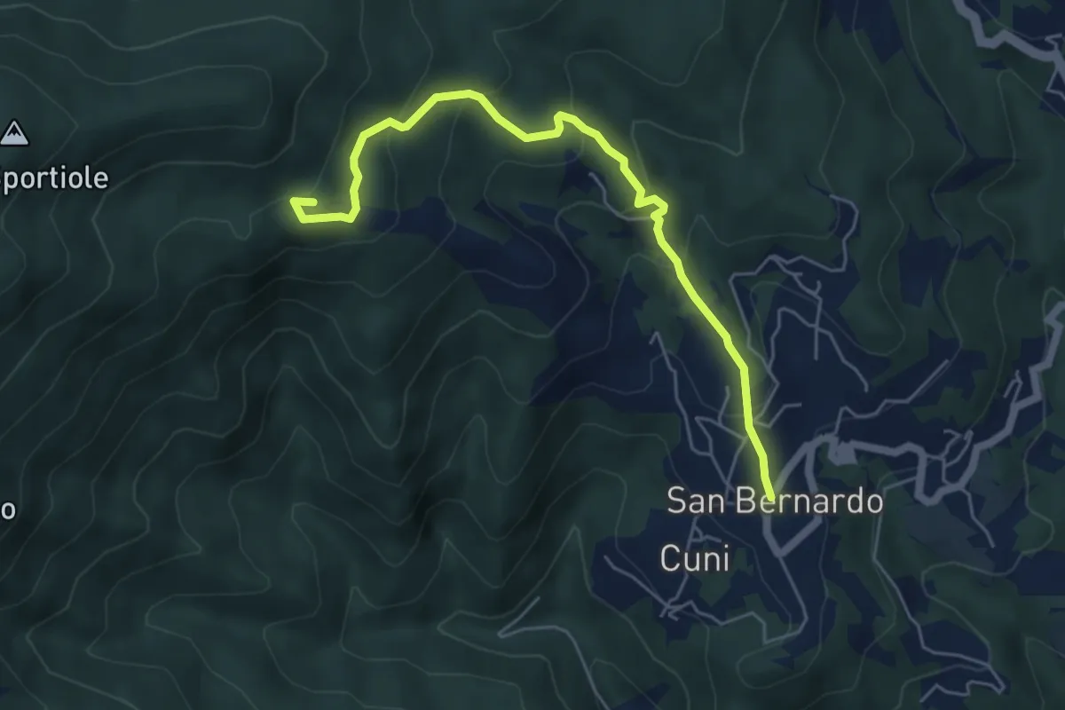
Corona - Sella Burain
5.8 km · ↑ 394 m · 2 h 14 min · 9 km away
Medium · Summit
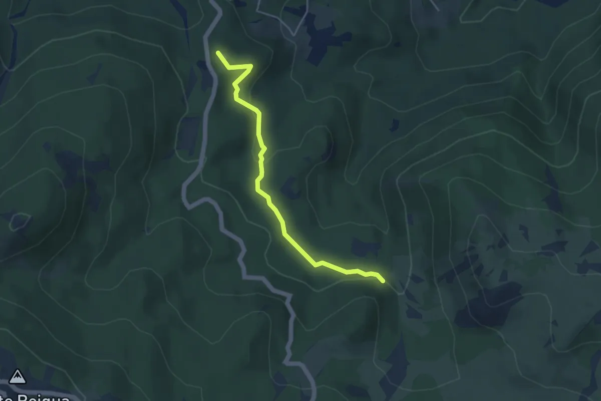
Corona - Pian Nefosse - Bonomo
5.8 km · ↑ 347 m · 2 h 8 min · 9 km away
Easy · Summit
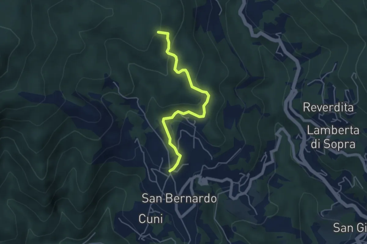
Lago della Biscia – Torbiera del Laione
4.1 km · ↑ 115 m · 1 h 12 min · 9 km away
Easy · Summit
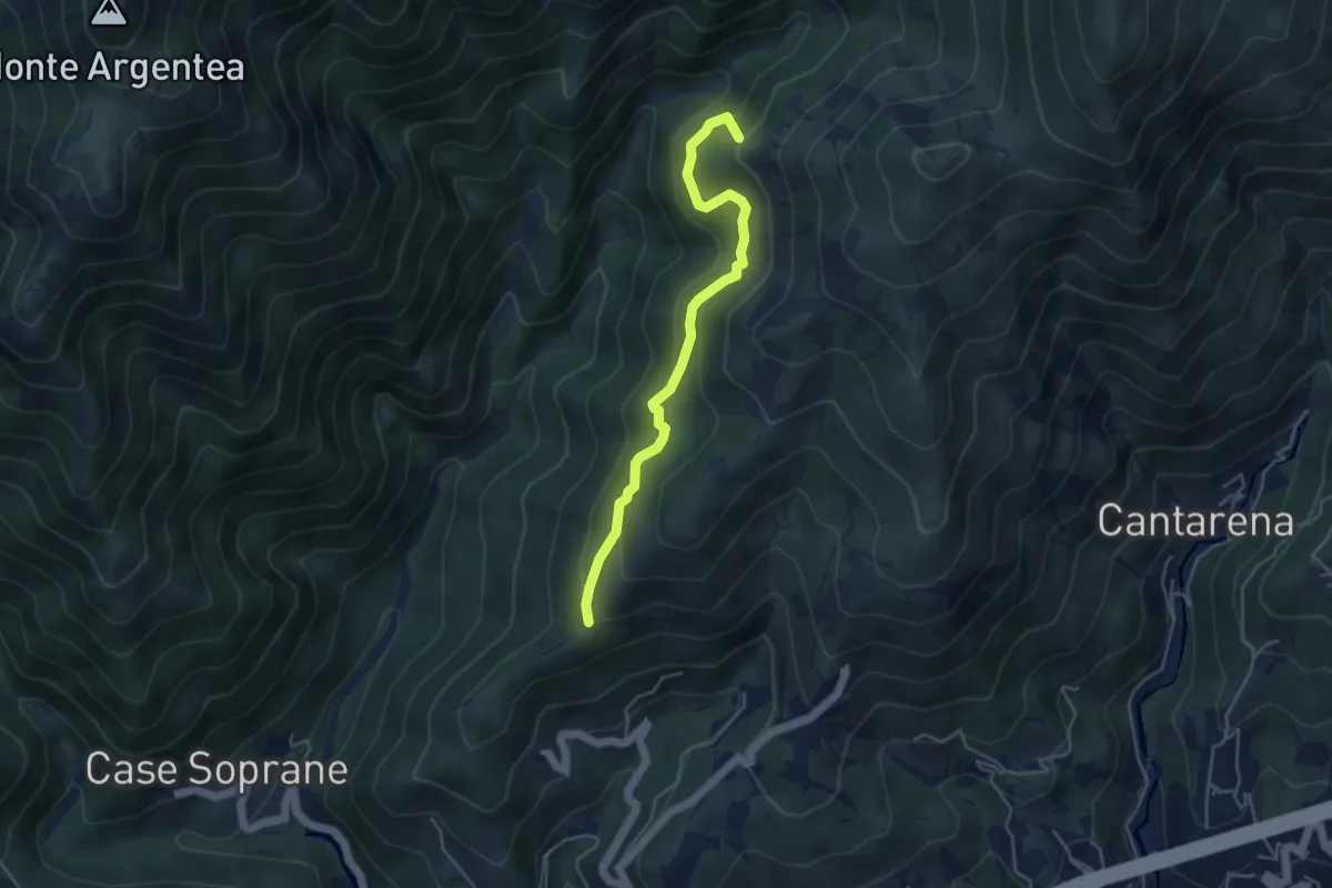
San Bernardo - Giovo
4.1 km · ↑ 177 m · 1 h 22 min · 9 km away
Medium · Summit
Passo Figu – Passo Gua
4.5 km · ↑ 308 m · 1 h 44 min · 9 km away
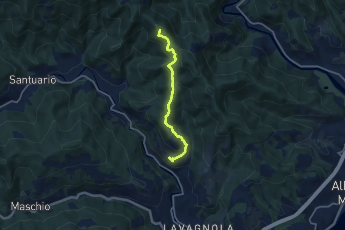
Medium · Summit
Marmorassi - Case Monte Paggio - Bric Schivà
6.1 km · ↑ 351 m · 2 h 12 min · 9 km away
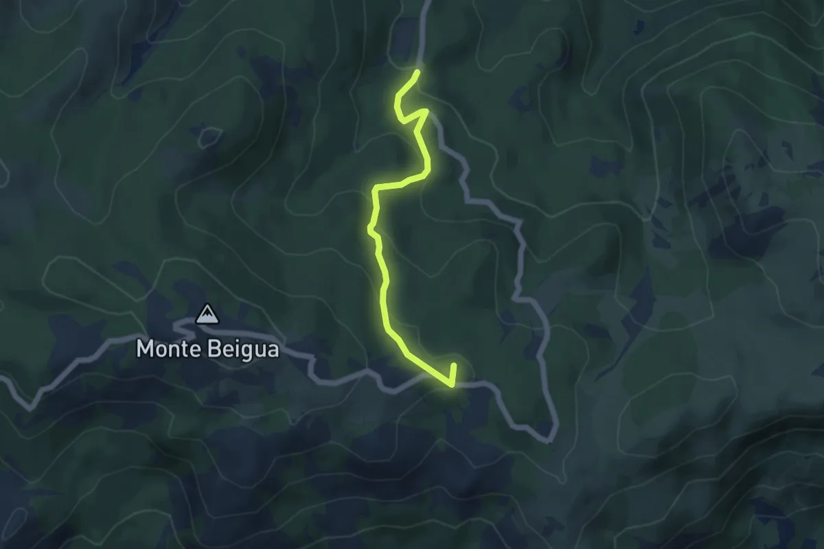
Medium · Summit
Torbiera del Laione - Pratorotondo
4.5 km · ↑ 190 m · 1 h 28 min · 9 km away
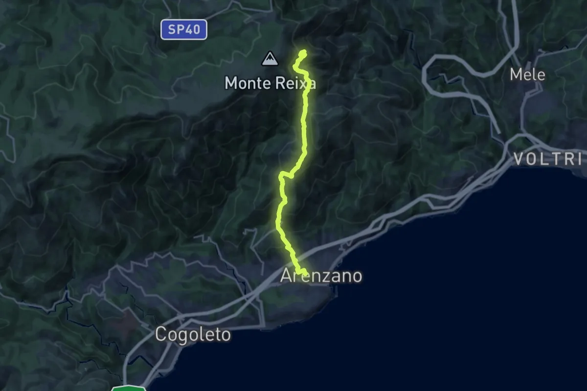
Demanding · Summit
Arenzano - Passo del Faiallo
14.6 km · ↑ 1105 m · 5 h 51 min · 9 km away
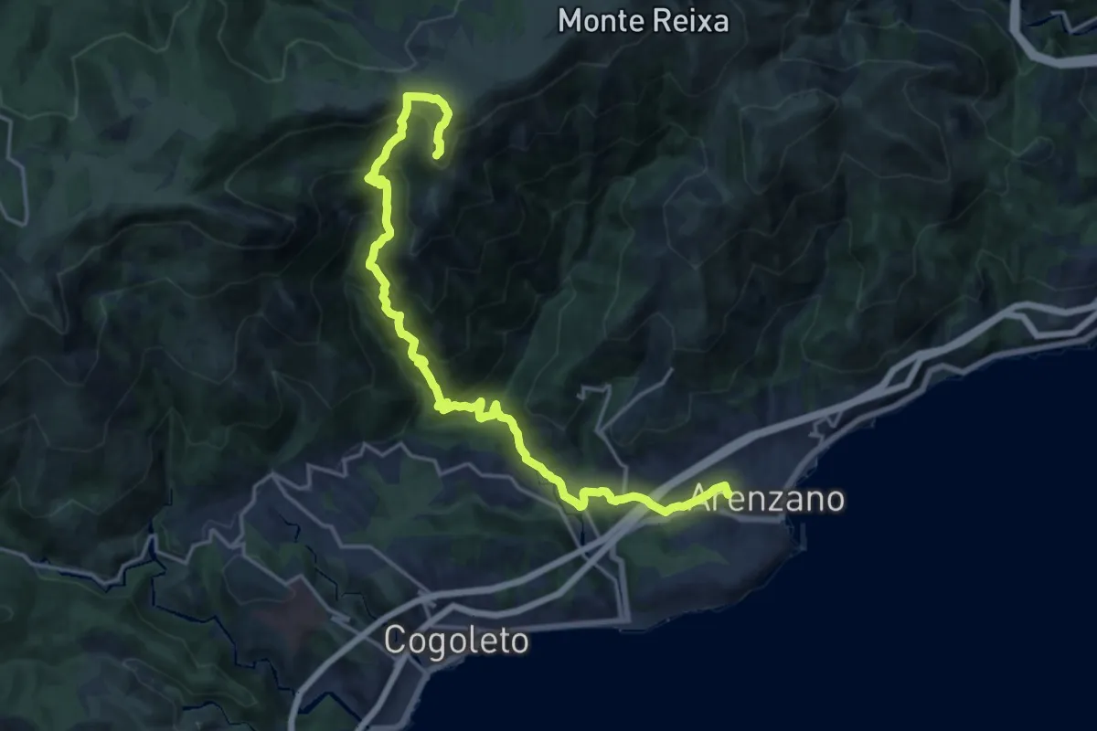
Demanding · Summit
Arenzano – Monte Argentea
19.4 km · ↑ 1358 m · 7 h 31 min · 10 km away