Trails near Varazze
100 hikes starting within 15 km, nearest first.
Nearest first, page 2 of 3
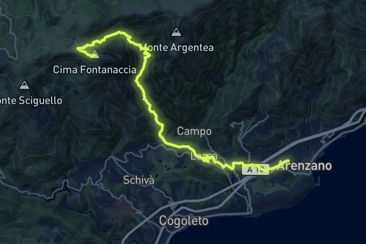
Demanding · Summit
Arenzano-Lerca-Monte Rama
21.0 km · ↑ 1315 m · 7 h 48 min · 10 km away
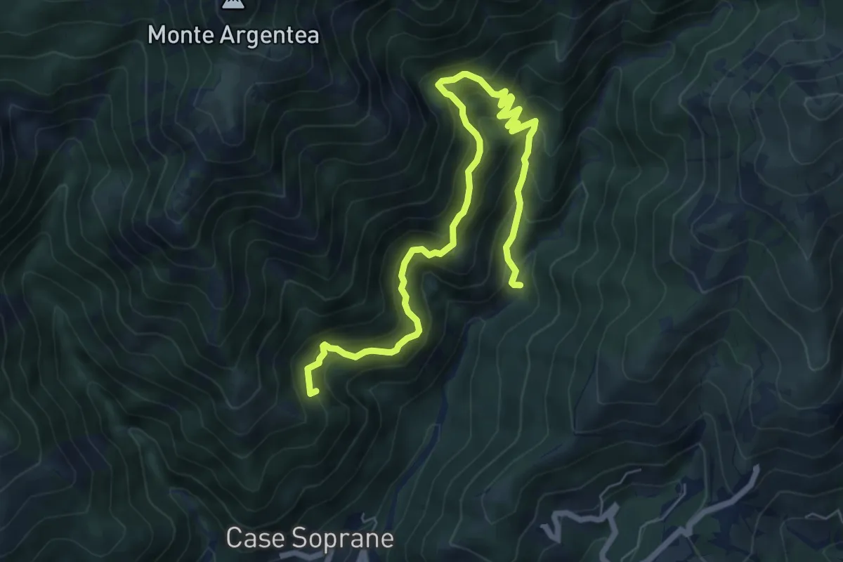
Demanding · Summit
Sentiero dell'Ingegnere
8.3 km · ↑ 881 m · 3 h 53 min · 10 km away
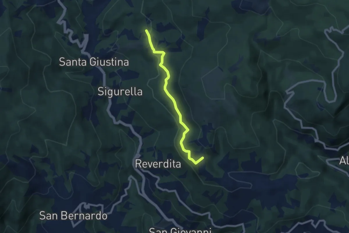
Easy · Summit
Prati del Prezzemolo
5.5 km · ↑ 190 m · 1 h 43 min · 10 km away
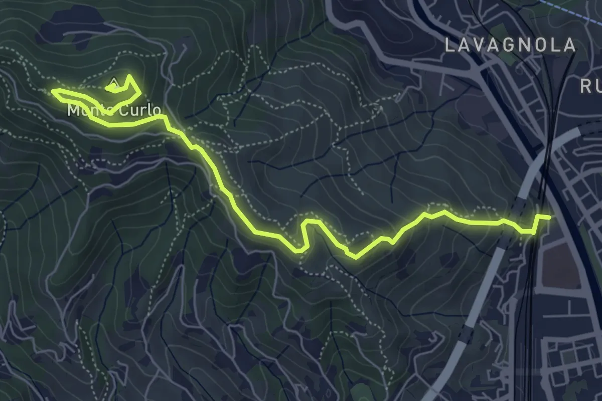
Medium · Summit
Savona - Monte Curlo
7.3 km · ↑ 377 m · 2 h 32 min · 10 km away
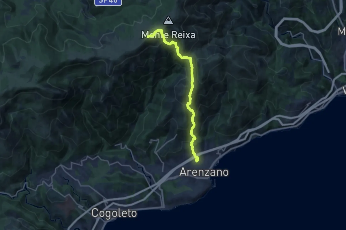
Demanding · Summit
Arenzano - Rocca Vaccaria
14.1 km · ↑ 1239 m · 6 h 1 min · 10 km away
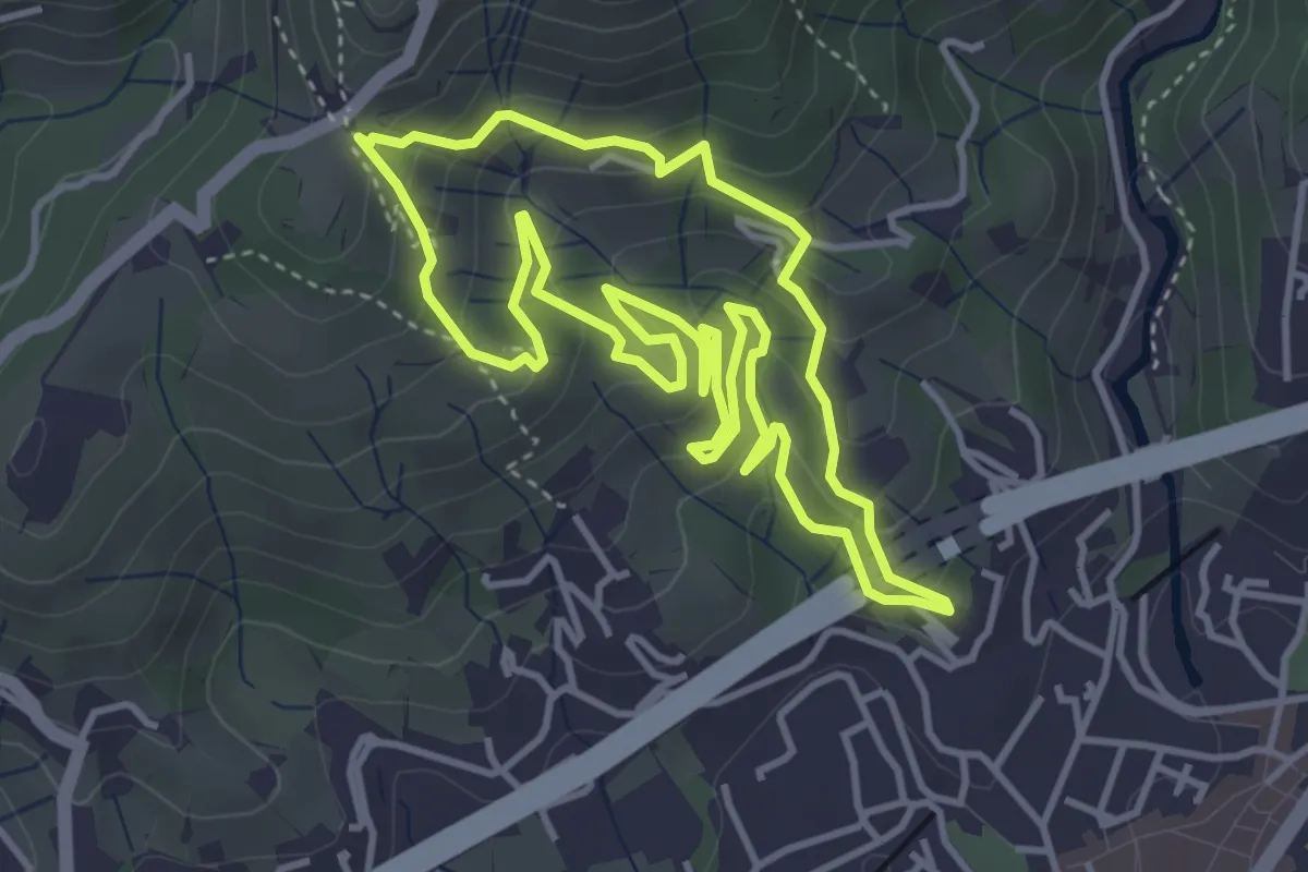
Medium · Summit
Sentiero degli Inglesi
4.3 km · ↑ 299 m · 1 h 43 min · 10 km away
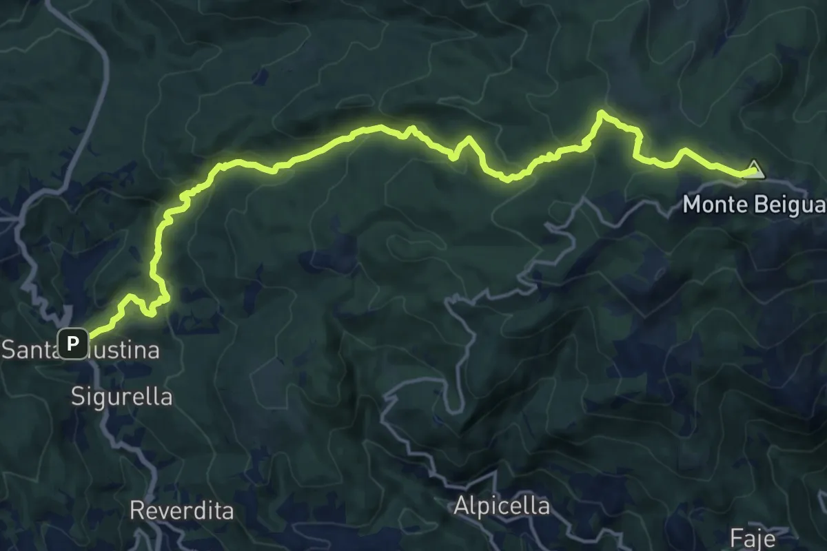
Demanding · Summit
Stella Santa Giustina – Croce Monte Beigua
20.8 km · ↑ 1043 m · 7 h 11 min · 10 km away
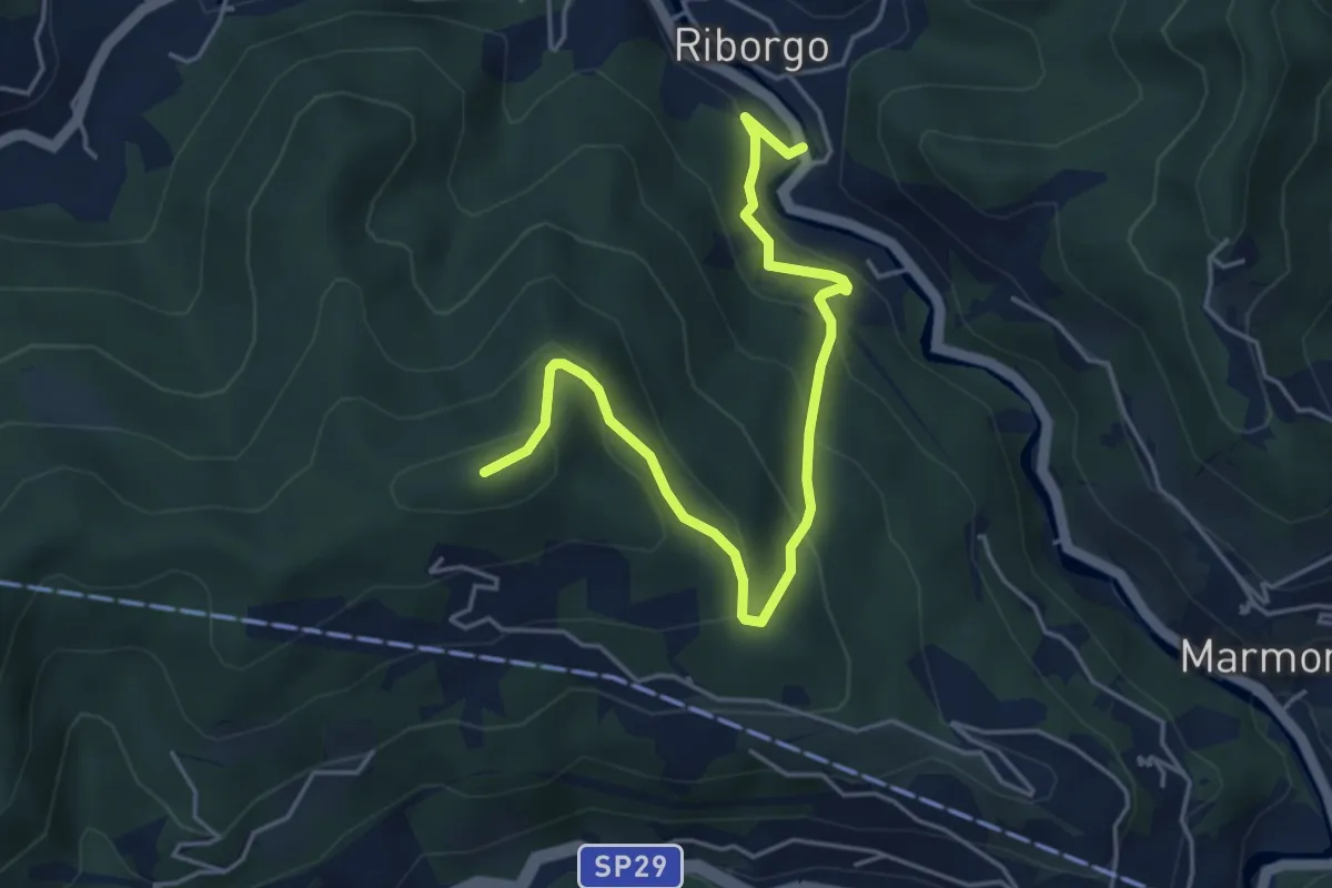
Medium · Summit
Savona Loc. Ponte Livè - Passo Perdoni
5.4 km · ↑ 381 m · 2 h 5 min · 10 km away
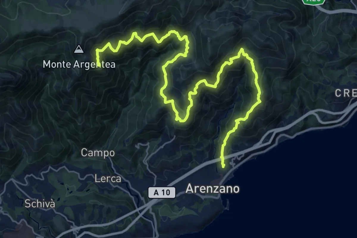
Demanding · Summit
Anello di Arenzano
28.3 km · ↑ 2208 m · 11 h 27 min · 10 km away
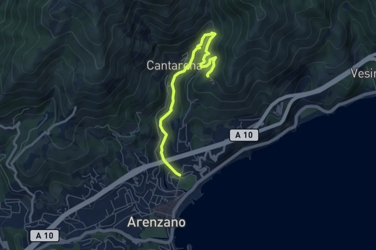
Medium · Trail
Santuario delle Olivete - Case Casuin
6.3 km · ↑ 412 m · 2 h 23 min · 10 km away
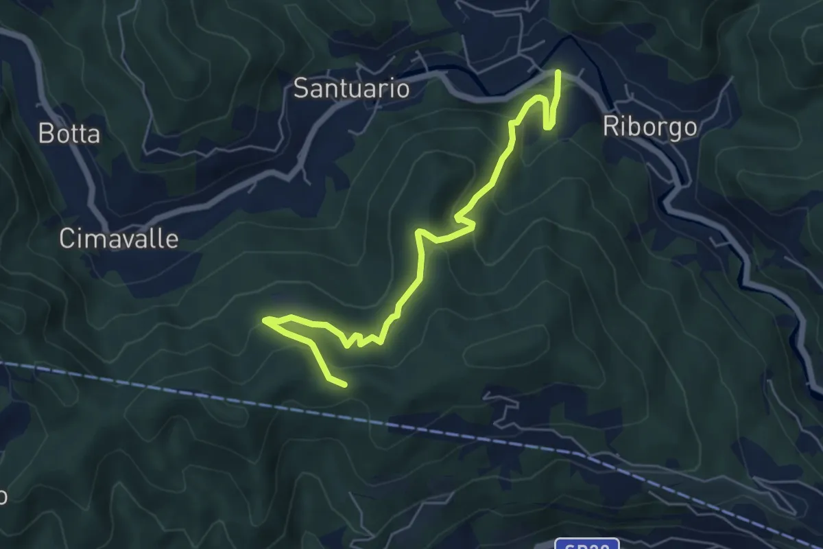
Medium · Trail
San Bernardo in Valle - Case Pietra Selvatica - Passo Perdoni
6.0 km · ↑ 447 m · 2 h 23 min · 11 km away
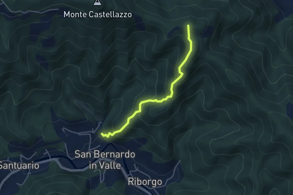
Medium · Summit
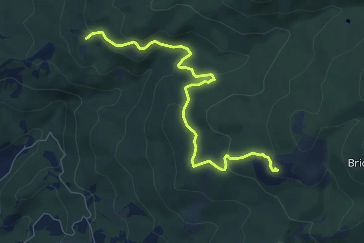
S. Bernardo in Valle - Bric del Crovaro
3.5 km · ↑ 331 m · 1 h 33 min · 11 km away
Medium · Summit
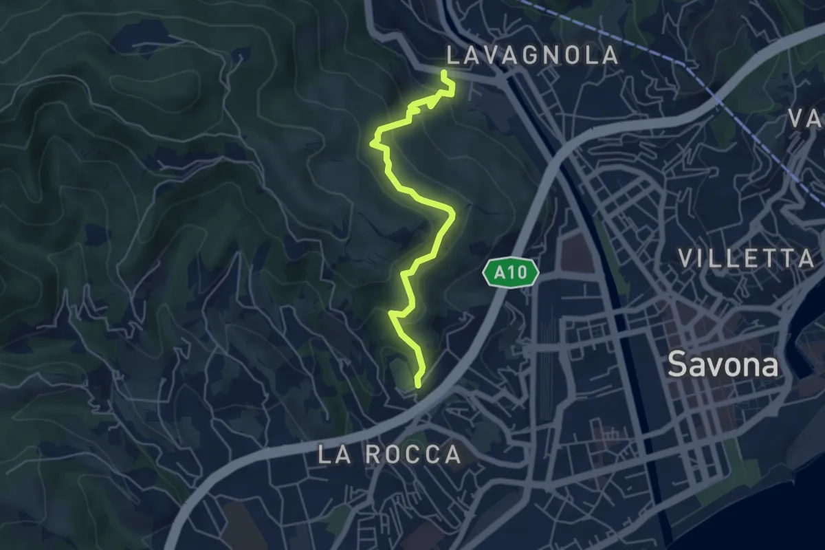
Collegamento AVML - Sentiero cerchio barrato
6.8 km · ↑ 270 m · 2 h 11 min · 11 km away
Medium · Trail
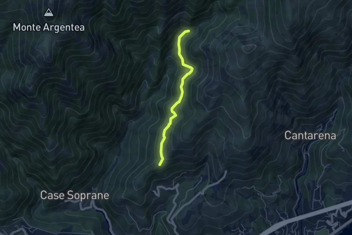
Savona (Ponte Sul Lavanestro) – Localitá Fontanassa (Campo Sportivo)
5.0 km · ↑ 341 m · 1 h 55 min · 11 km away
Medium · Summit
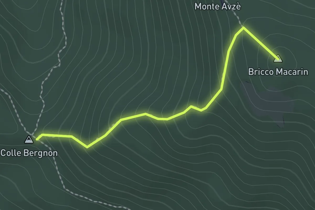
Agueta – Lago della Tina
4.5 km · ↑ 296 m · 1 h 42 min · 11 km away
Medium · Summit
Colle Bergnon - Monte Avze'
2.1 km · ↑ 205 m · 56 min · 11 km away
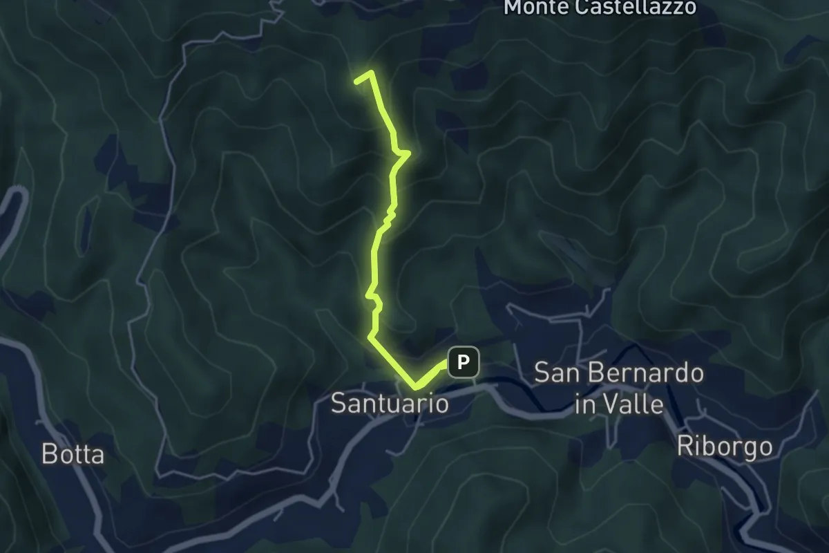
Medium · Summit
Sentiero dei Papi
4.5 km · ↑ 381 m · 1 h 53 min · 11 km away
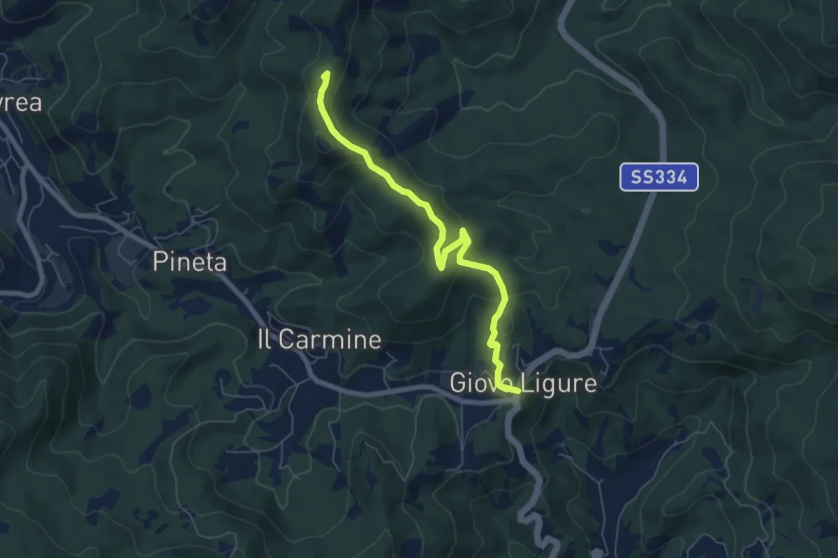
Easy · Summit
Giovo Ligure - Passo di Salmaceto
6.1 km · ↑ 225 m · 1 h 56 min · 11 km away
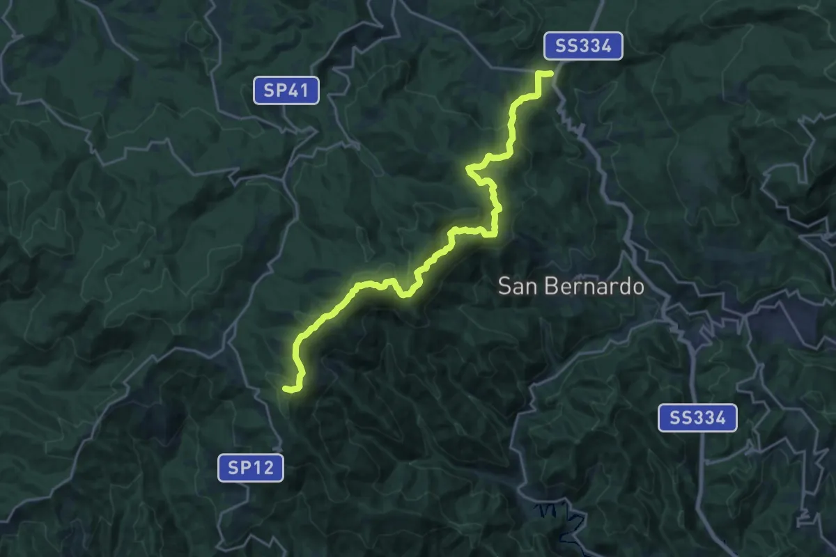
Demanding · Summit
Rifugio Cascina Miera - Il Giovo
21.1 km · ↑ 847 m · 6 h 49 min · 11 km away
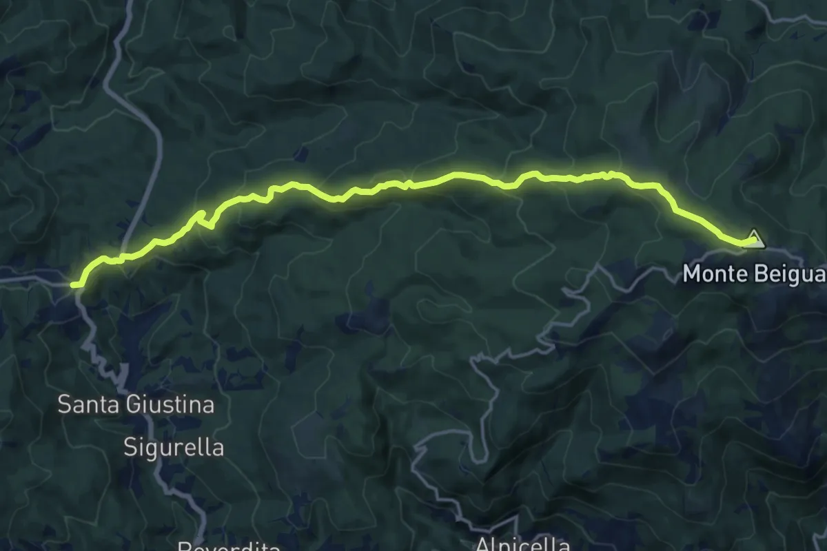
Demanding · Summit
Il Giovo - Prato Rotondo
17.6 km · ↑ 839 m · 5 h 59 min · 11 km away
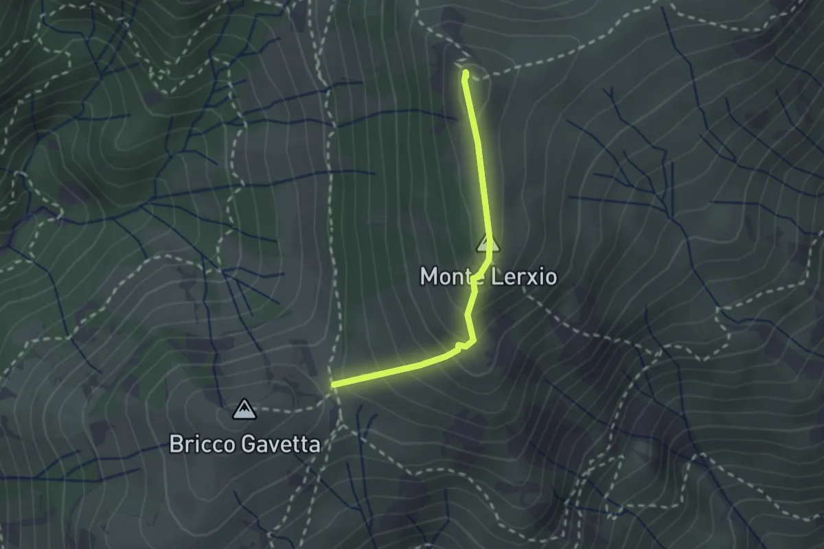
Medium · Summit
Passo della Gavetta - Passo dei Tardia
2.0 km · ↑ 188 m · 53 min · 11 km away
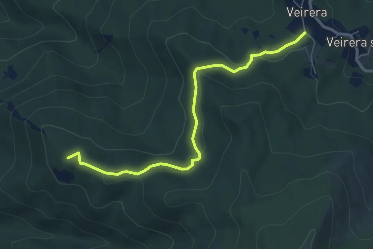
Easy · Summit
Veirera - Monte Avze'
5.7 km · ↑ 194 m · 1 h 47 min · 11 km away
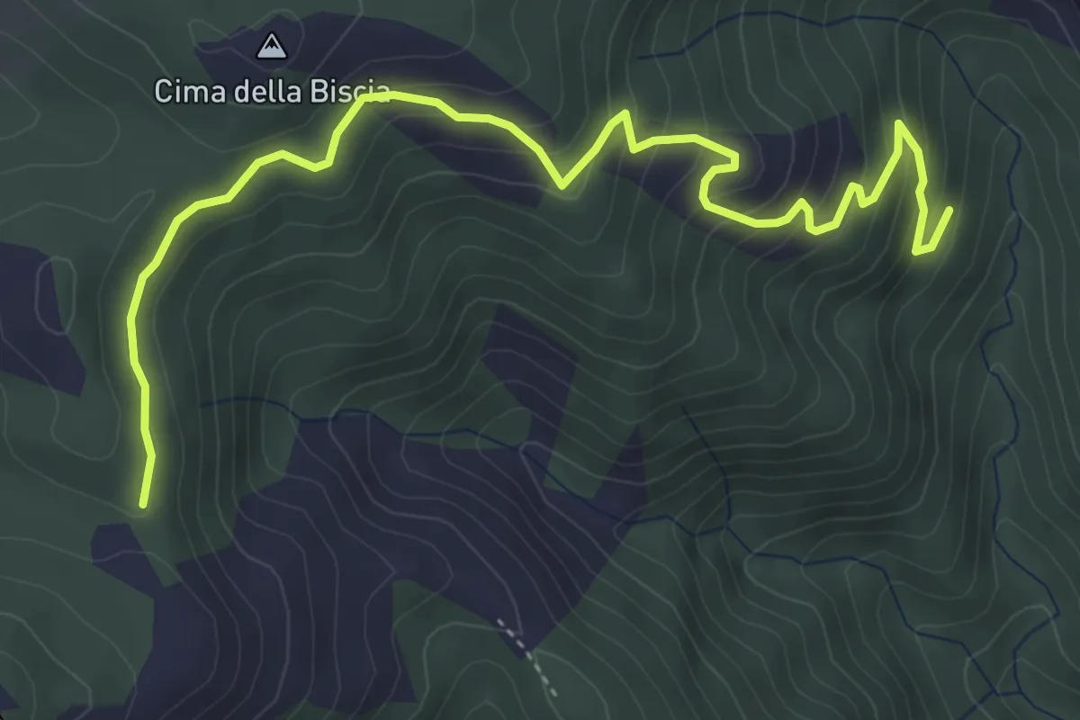
Medium · Trail
Le Cercie - Passo San Giorgio
5.7 km · ↑ 386 m · 2 h 11 min · 12 km away
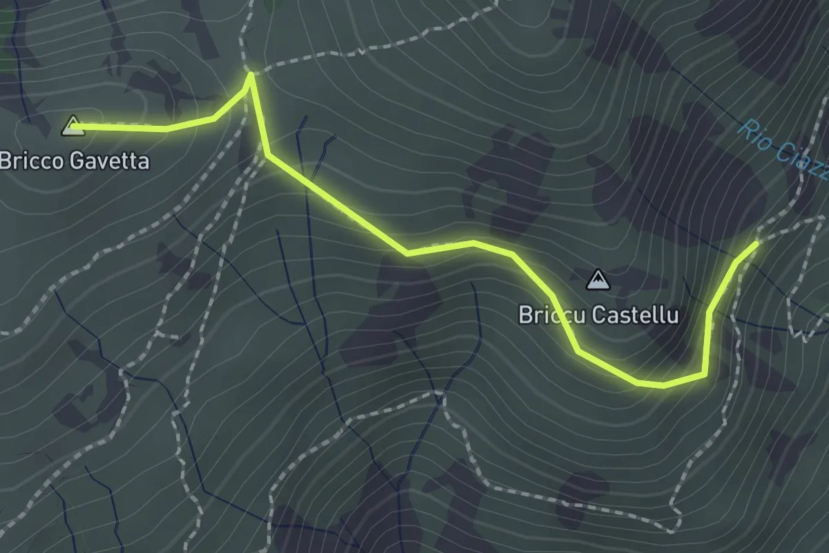
Medium · Summit
Sentiero A - Bric Gavetta
2.2 km · ↑ 163 m · 53 min · 12 km away
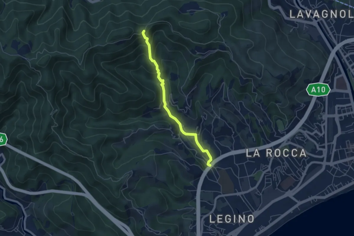
Medium · Trail
SAVONA (LOCALITÁ POLO NORD) - PASSO PAOLINO EST
5.0 km · ↑ 298 m · 1 h 49 min · 12 km away
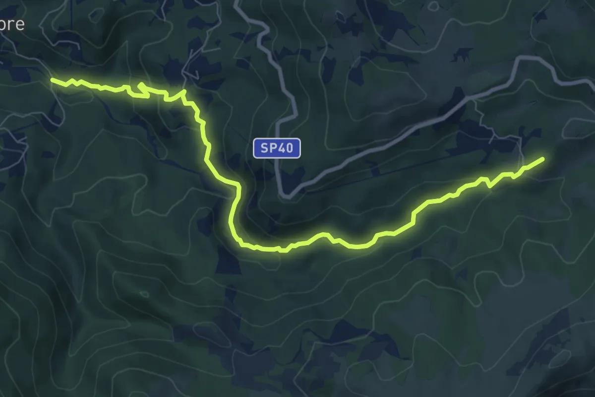
Demanding · Summit
Ponte sull'Orba - Albergo Faiallo
9.7 km · ↑ 482 m · 3 h 20 min · 12 km away
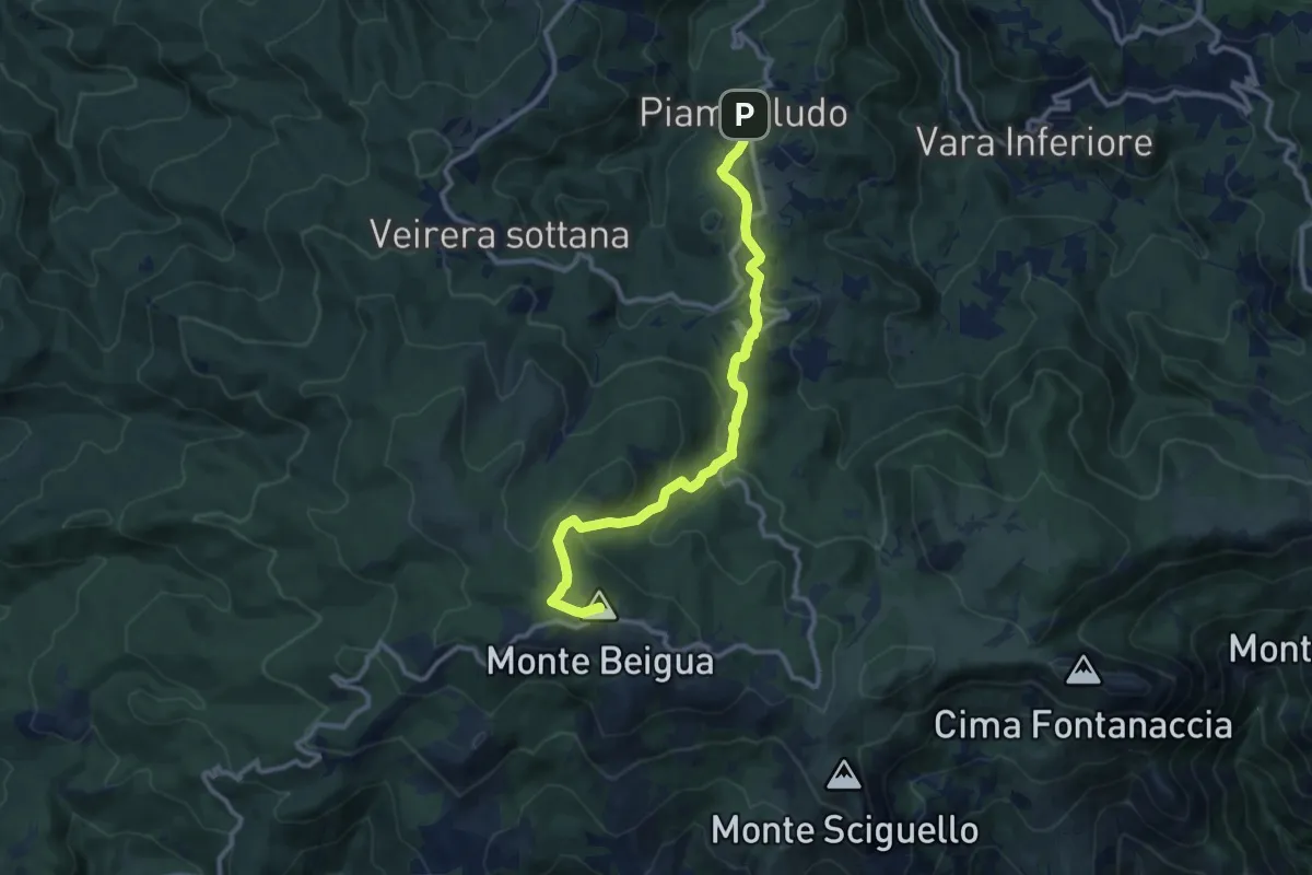
Medium · Summit
Piampaludo – Monte Beigua
11.5 km · ↑ 423 m · 3 h 37 min · 12 km away
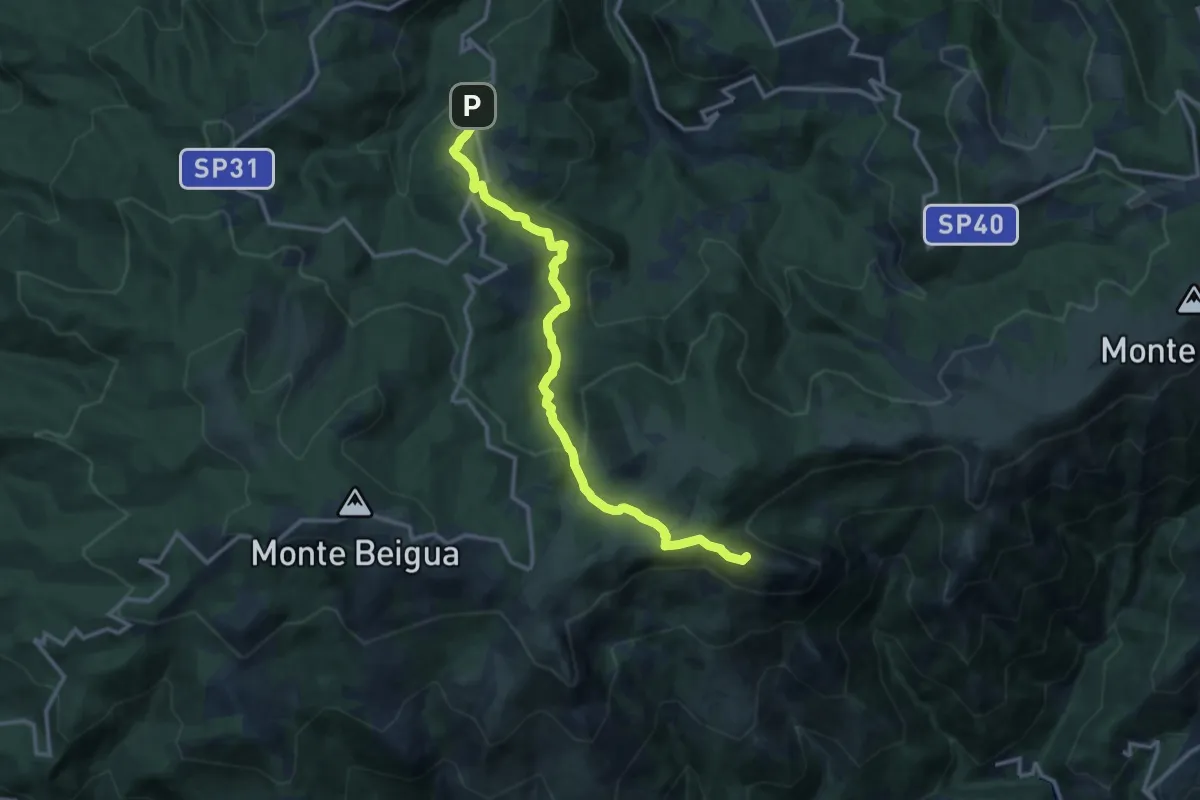
Medium · Summit
Piampaludo – Monte Rama
13.6 km · ↑ 430 m · 4 h 8 min · 12 km away
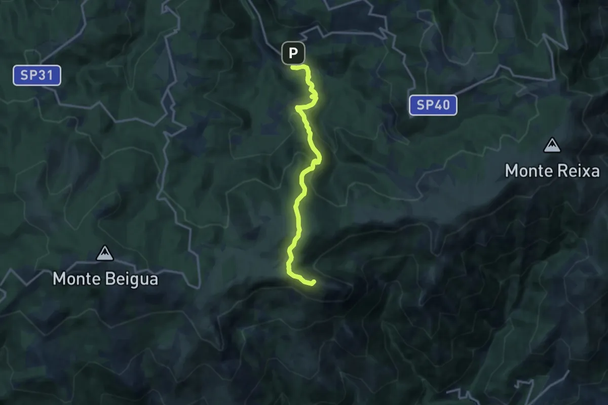
Medium · Summit
Vara Inferiore – Monte Rama
11.4 km · ↑ 706 m · 4 h 14 min · 12 km away
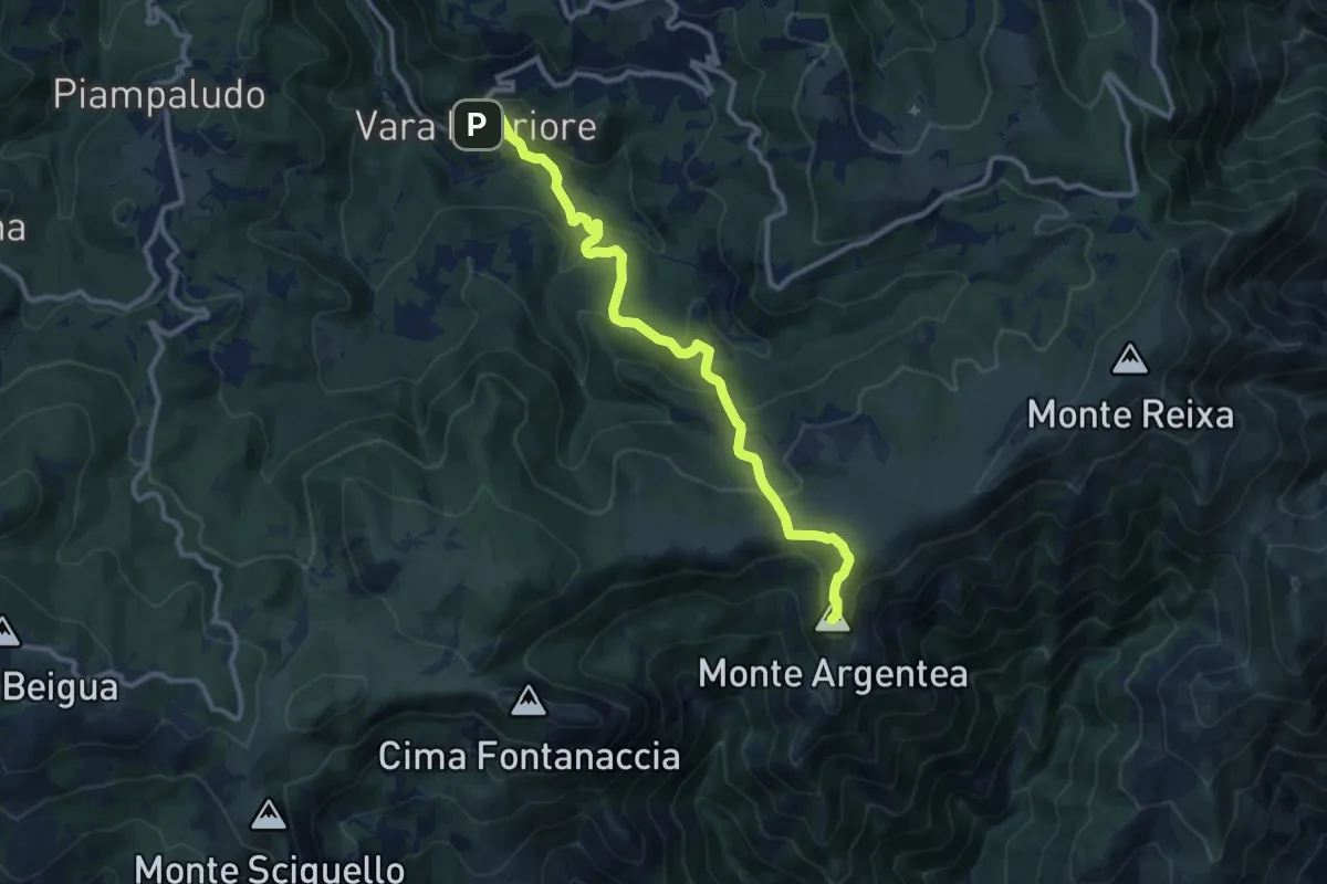
Medium · Summit
Vara Inferiore-Colla Pian di Lerca-Monte Argentea
5.7 km · ↑ 457 m · 2 h 14 min · 12 km away
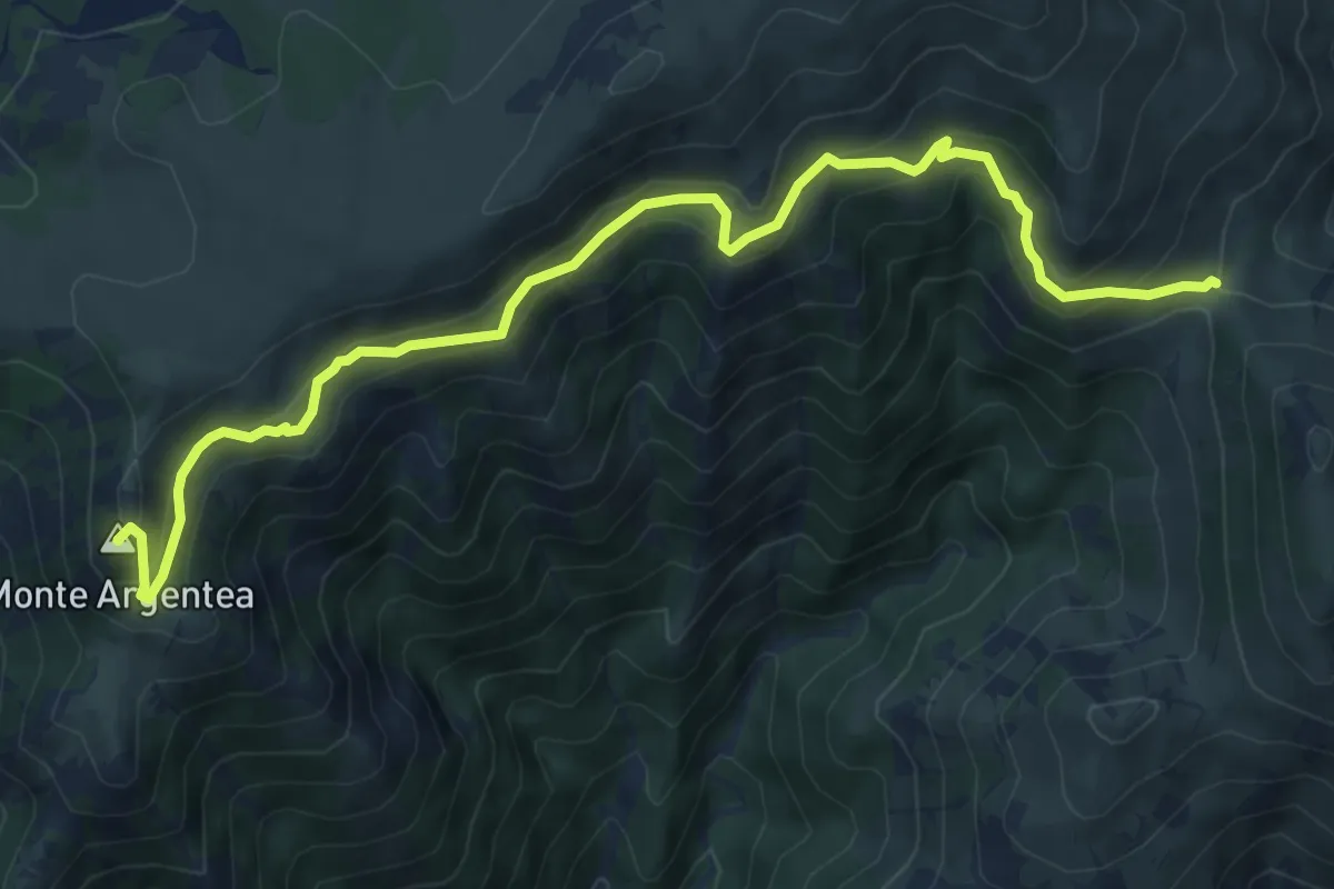
Medium · Summit
Passo della Gava - Monte Argentea
9.0 km · ↑ 623 m · 3 h 28 min · 12 km away
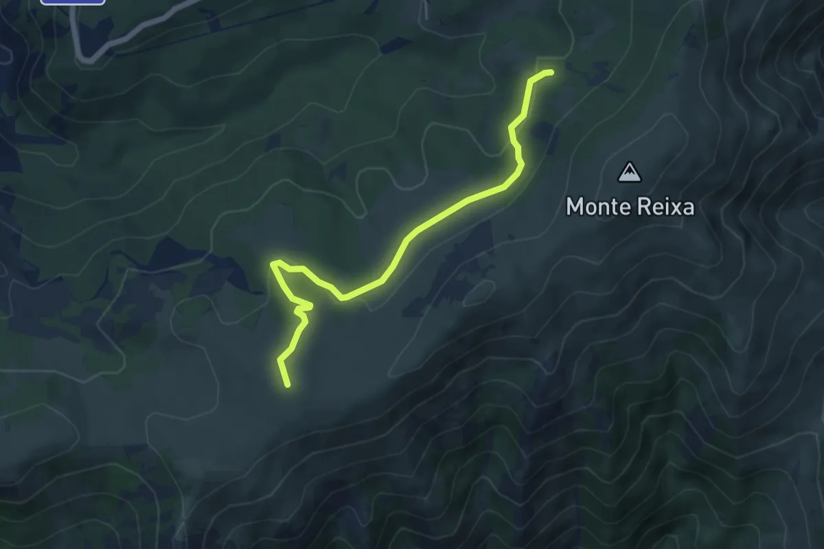
Easy · Summit
Case Tassara - Rifugio Argentea
5.5 km · ↑ 143 m · 1 h 36 min · 13 km away
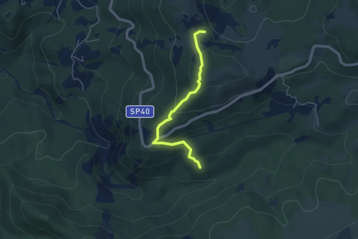
Easy · Summit
Manfrei - Fossa Grande
3.9 km · ↑ 231 m · 1 h 25 min · 13 km away
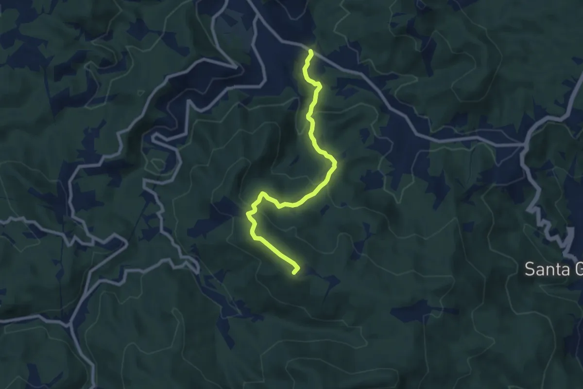
Medium · Summit
Pontinvrea – Pendici Nord Bric Sciappa
7.4 km · ↑ 344 m · 2 h 30 min · 14 km away
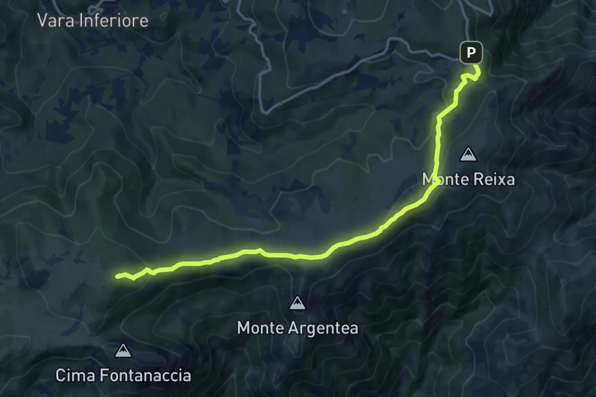
Medium · Summit
Prato Rotondo - Passo del Faiallo
13.0 km · ↑ 493 m · 4 h 9 min · 14 km away
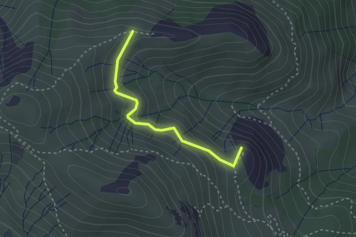
Medium · Summit
Costa dei Gatti - Rocche du Prou Ballou - X rossa
2.3 km · ↑ 190 m · 58 min · 14 km away
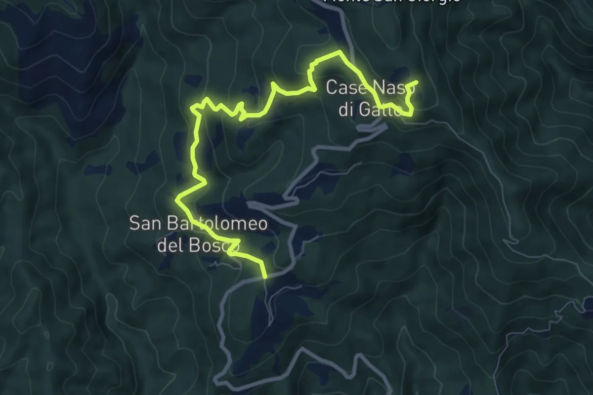
Medium · Summit
San Bartolomeo del Bosco - Naso di Gatto - Monte San Giorgio
9.0 km · ↑ 443 m · 3 h 4 min · 14 km away
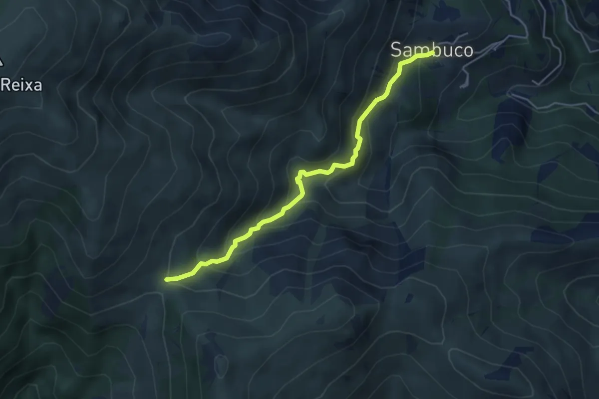
Medium · Trail
Sambuco - Passo della Gava
4.3 km · ↑ 360 m · 1 h 48 min · 14 km away
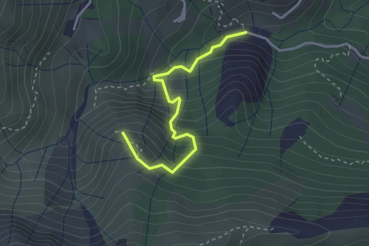
Medium · Summit
Via Sambugo - Rocca du Fo - Costa dei Gatti
2.6 km · ↑ 360 m · 1 h 23 min · 14 km away
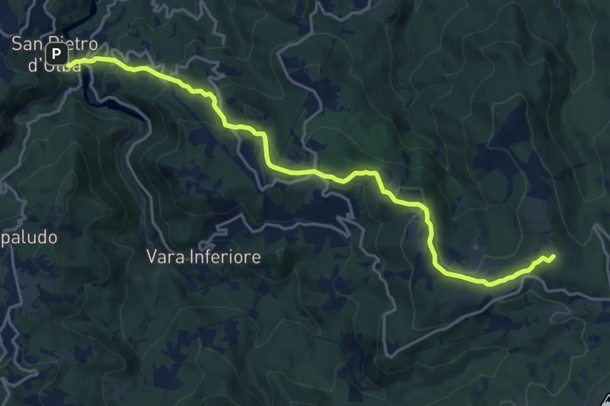
Medium · Summit
San Pietro d'Olba – Passo del Faiallo
15.1 km · ↑ 595 m · 4 h 51 min · 14 km away
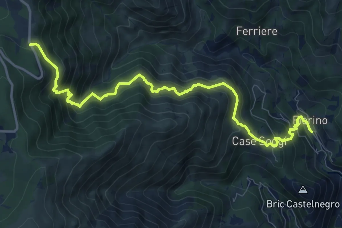
Demanding · Trail
Fiorino - Passo Cerusa
10.2 km · ↑ 1054 m · 4 h 42 min · 14 km away
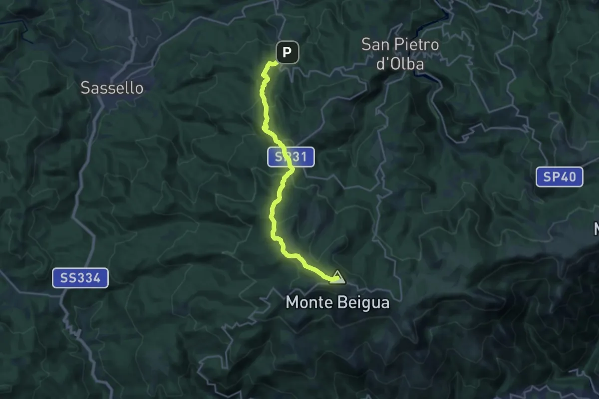
Medium · Summit
Palo – Monte Beigua
16.9 km · ↑ 694 m · 5 h 29 min · 14 km away
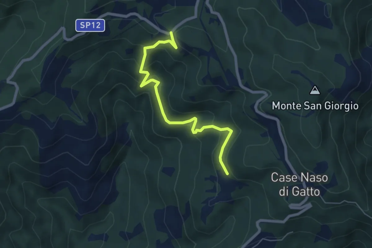
Easy · Trail
Gallina - Case Teggia - Case Bricco - Traversine
5.4 km · ↑ 317 m · 1 h 58 min · 14 km away
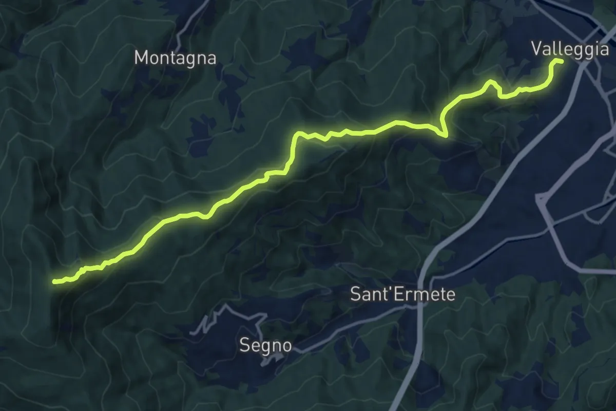
Demanding · Summit
Valleggia - Rocca dei Corvi - Rocche Bianche
15.3 km · ↑ 779 m · 5 h 19 min · 15 km away
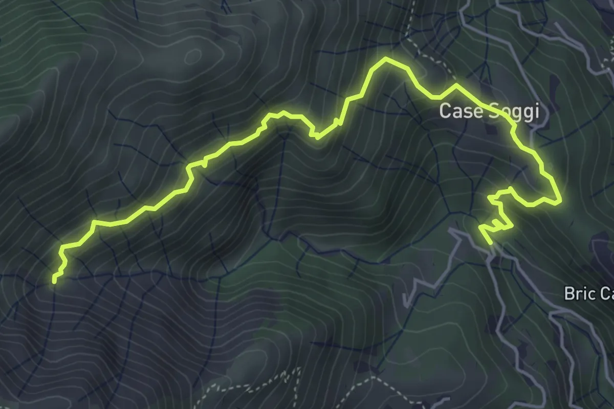
Medium · Trail
Sentiero Pro Canyon - Rio Secco
6.3 km · ↑ 504 m · 2 h 34 min · 15 km away
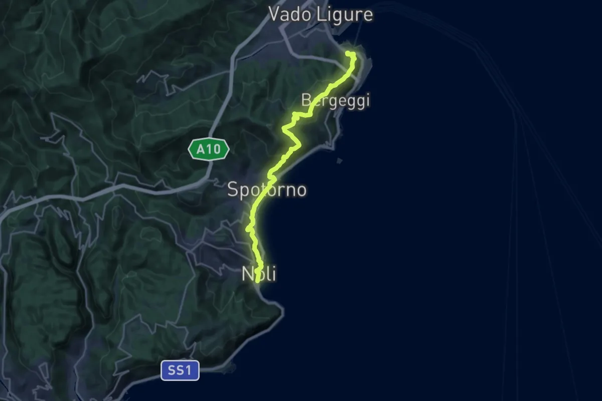
Demanding · Trail
Sentiero Liguria - Tappa 18
19.2 km · ↑ 945 m · 6 h 35 min · 15 km away
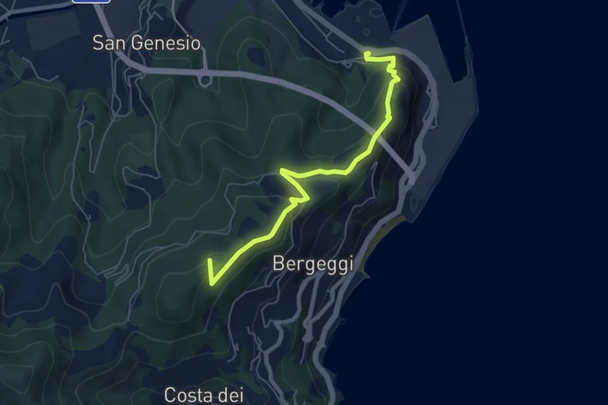
Medium · Summit
Variante Vado Ligure - Spotorno
5.7 km · ↑ 305 m · 2 h · 15 km away
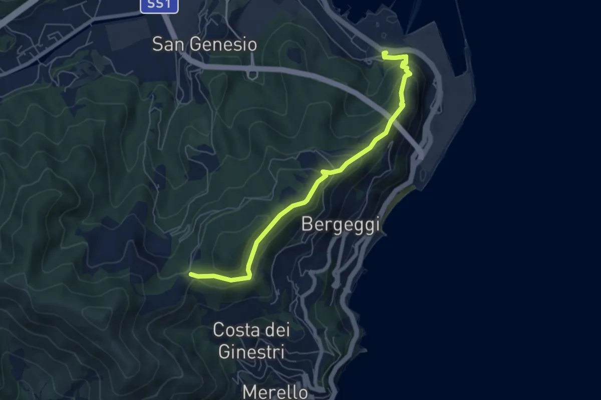
Medium · Trail
Vado Ligure - Gola di Sant'Elena
6.2 km · ↑ 360 m · 2 h 14 min · 15 km away