Trails near Varese
231 hikes starting within 15 km, nearest first.
Nearest first, page 2 of 5
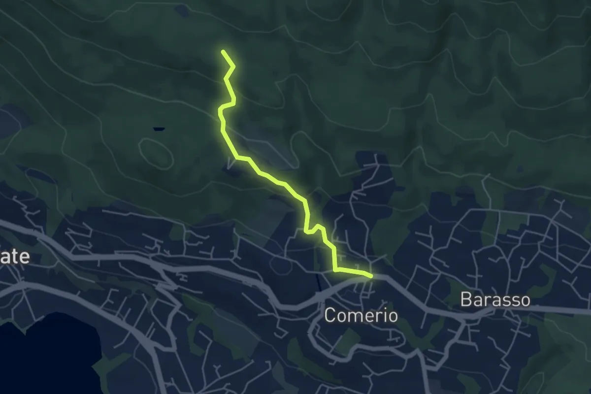
Easy · Trail
311 Comerio - Sentiero 310A
4.1 km · ↑ 197 m · 1 h 24 min · 7 km away
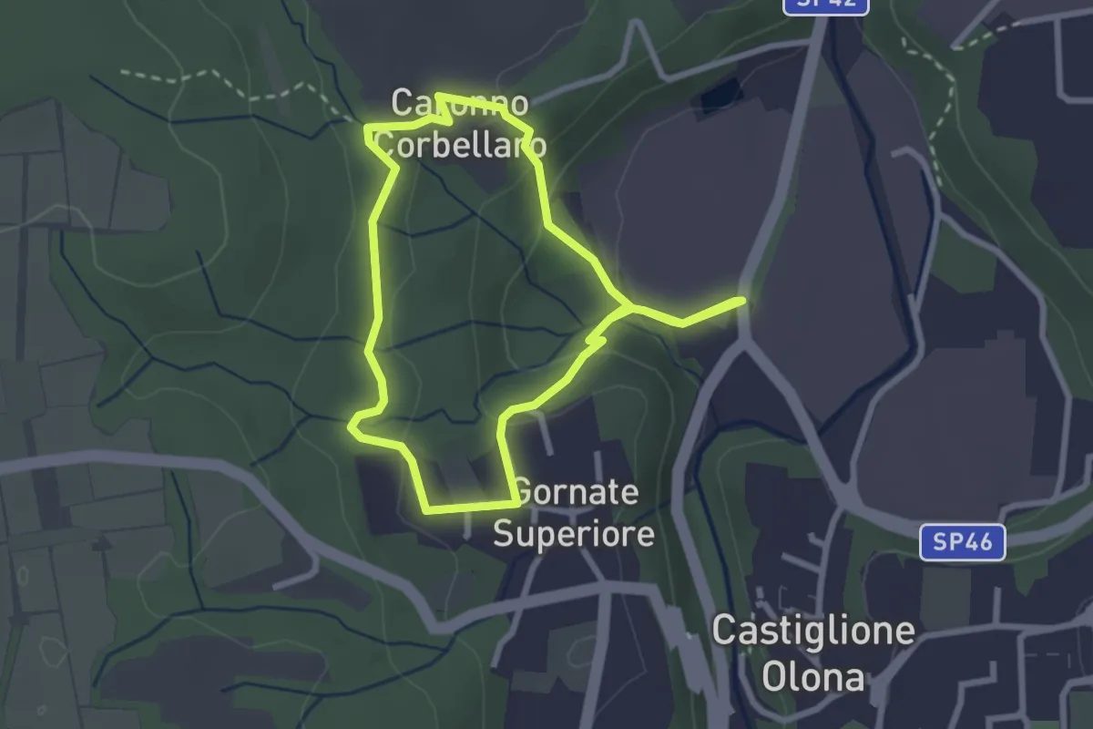
Easy · Trail
521 Anello dei Lavatoi
2.4 km · ↑ 66 m · 45 min · 7 km away
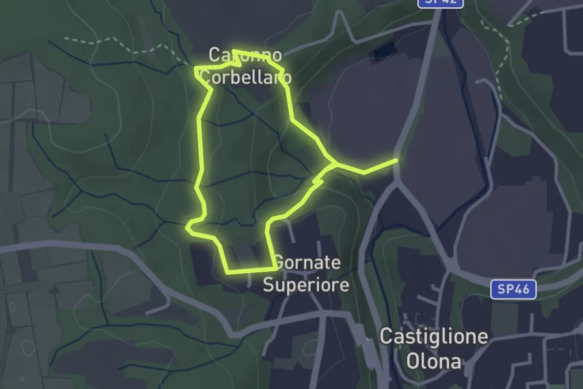
Easy · Trail
Anello dei Lavatoi
2.3 km · ↑ 61 m · 42 min · 7 km away
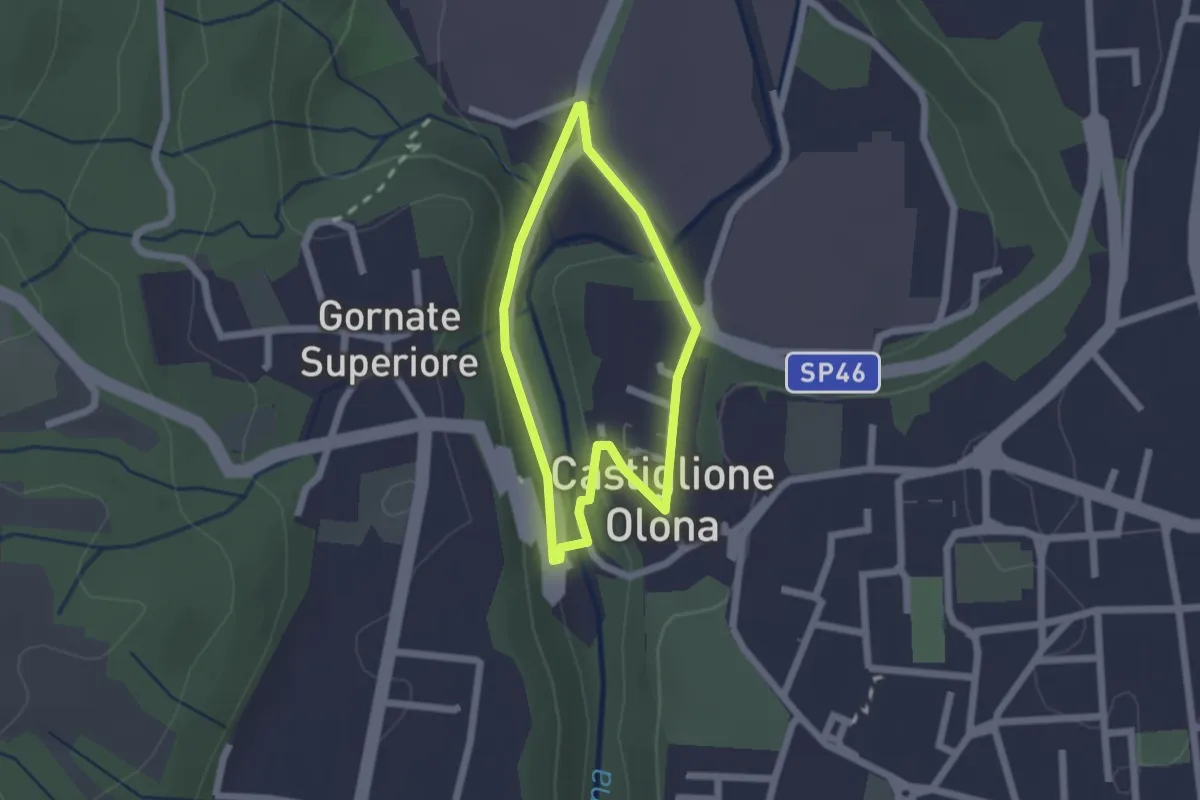
Easy · Trail
Anello Storico di Castiglione
1.6 km · ↑ 38 m · 29 min · 7 km away
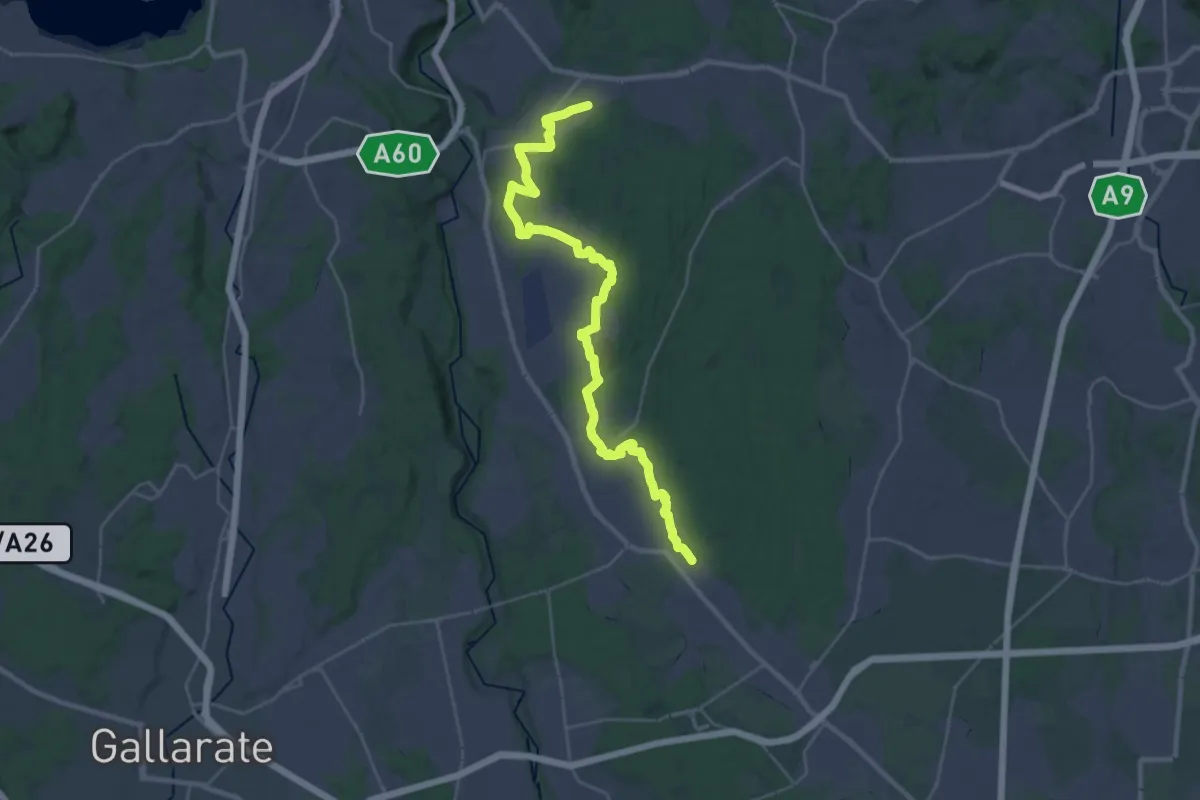
Medium · Trail
Sentiero 540LP
16.5 km · ↑ 81 m · 4 h 21 min · 7 km away
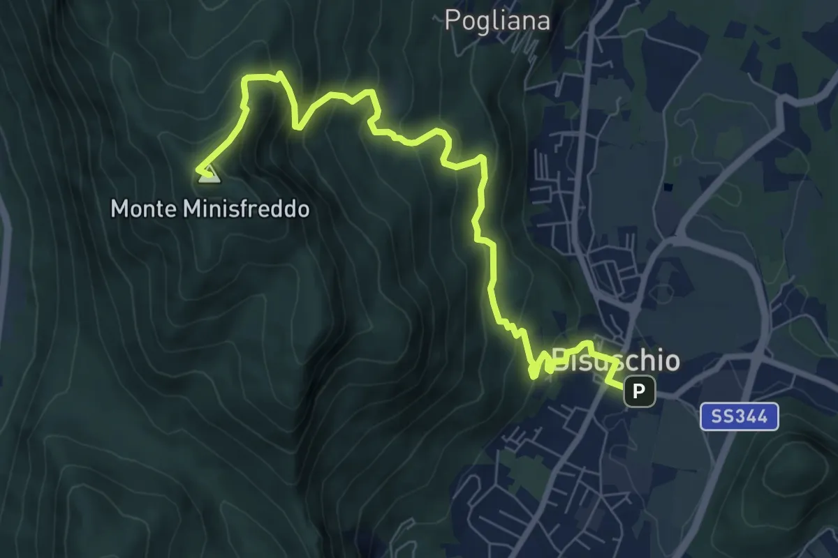
Demanding · Summit
Bisuschio – M.Minisfreddo
8.7 km · ↑ 711 m · 3 h 35 min · 7 km away
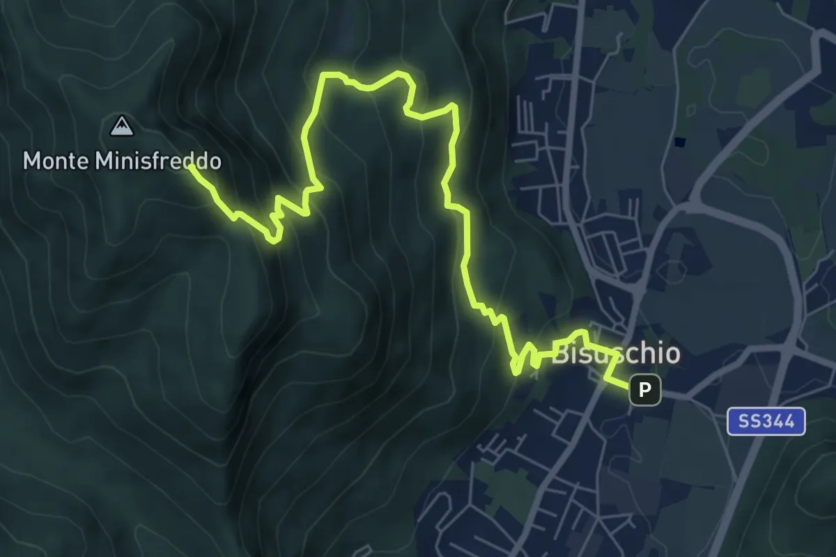
Demanding · Summit
Bisuschio – M. San Bernardo
8.2 km · ↑ 674 m · 3 h 23 min · 7 km away
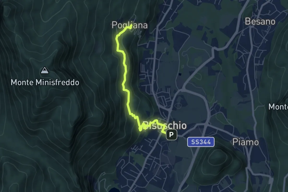
Demanding · Trail
Bisuschio – Pogliana
5.8 km · ↑ 276 m · 1 h 58 min · 7 km away
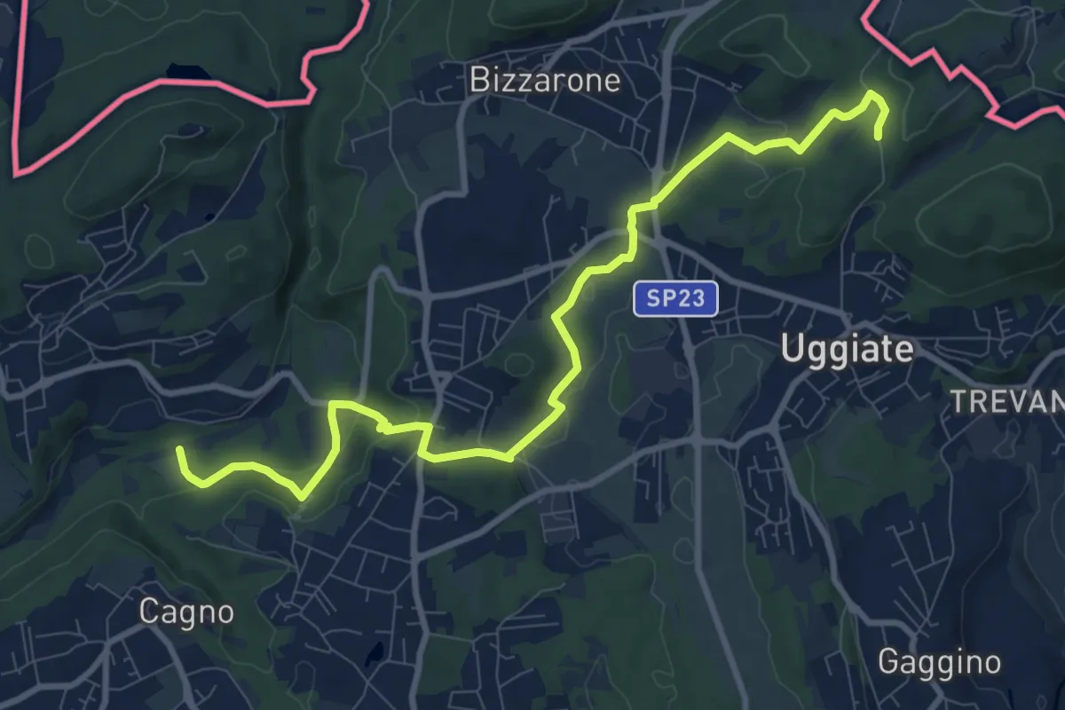
Medium · Trail
Sentiero Lanza-Lura
10.7 km · ↑ 292 m · 3 h 10 min · 7 km away
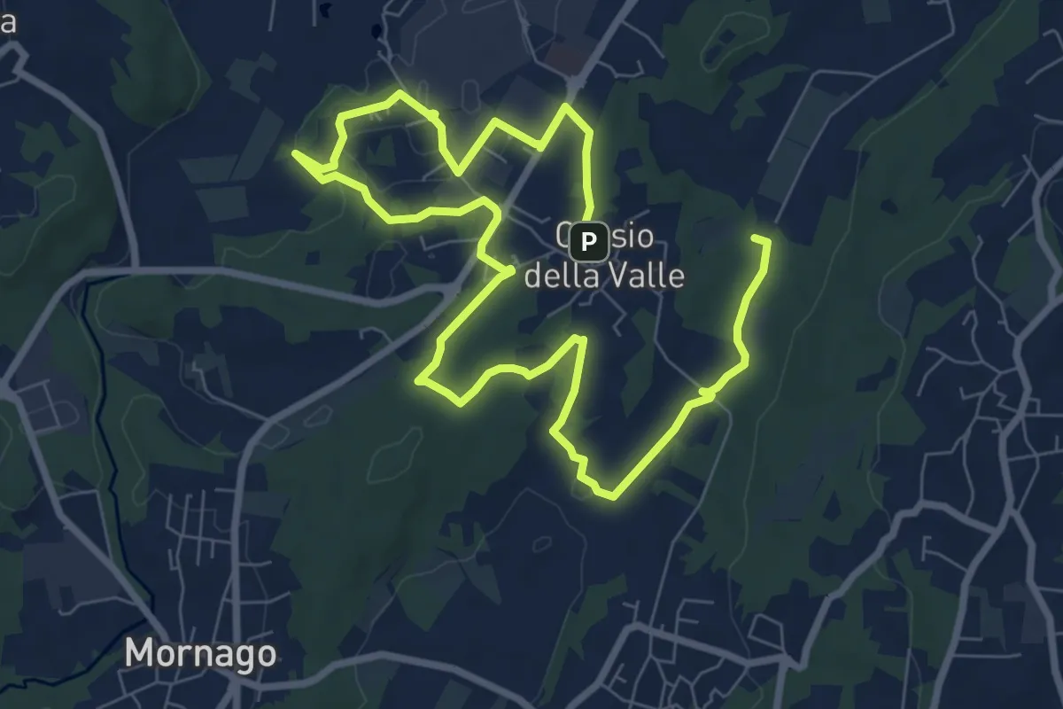
Medium · Trail
Piane Viscontee - Anello di Crosio della Valle
12.8 km · ↑ 141 m · 3 h 19 min · 8 km away
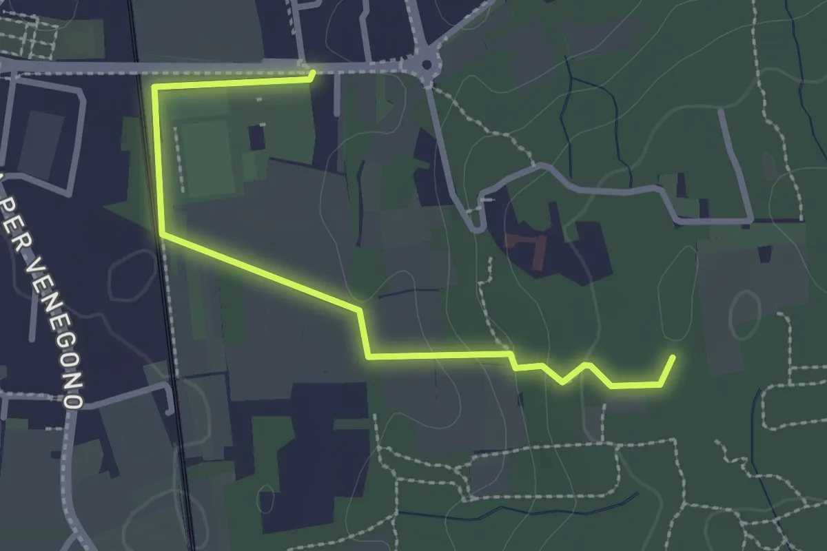
Easy · Trail
Vedano Olona – Innesto su sentiero 540
2.7 km · ↑ 58 m · 46 min · 8 km away
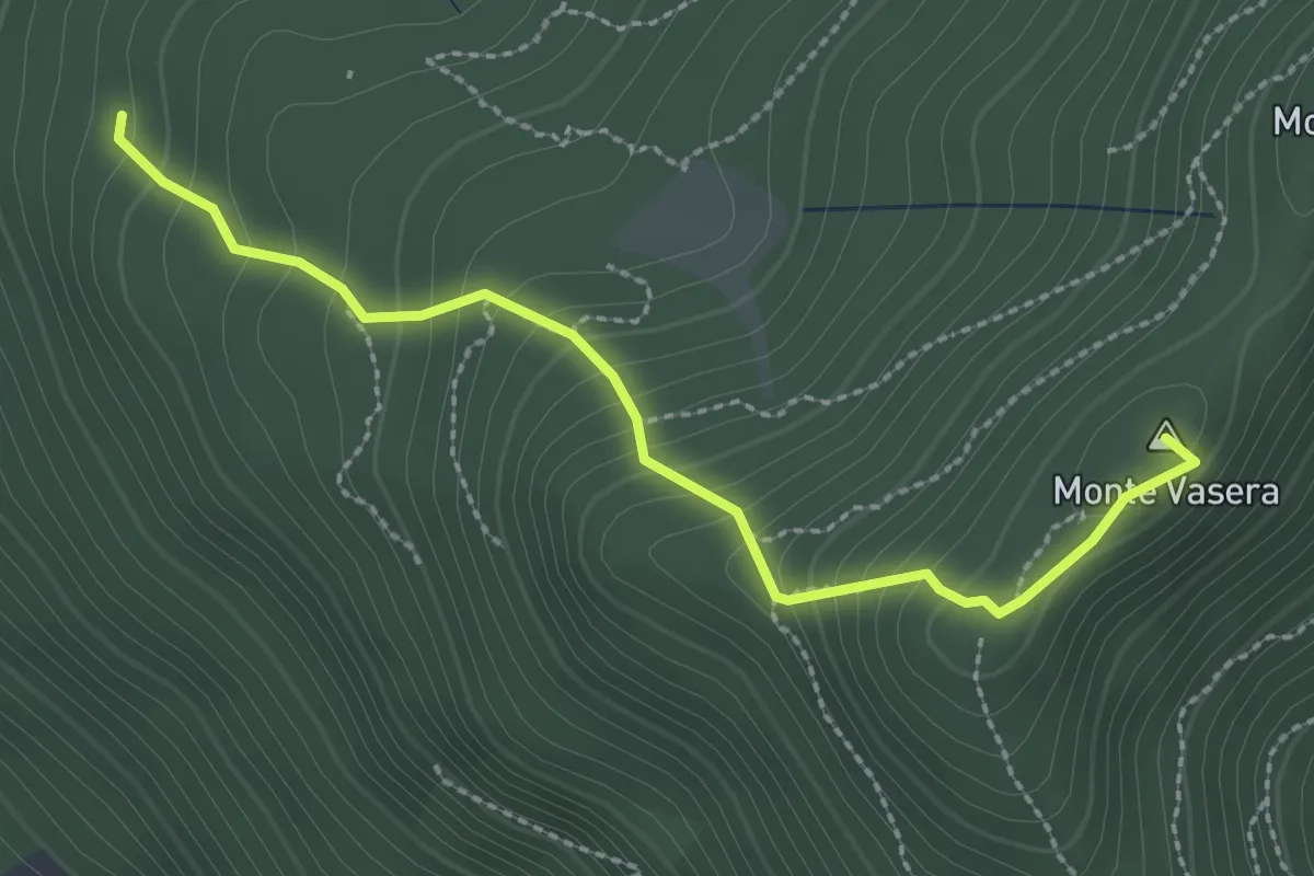
Medium · Summit
Brinzio - Monte Martica
2.6 km · ↑ 276 m · 1 h 13 min · 8 km away
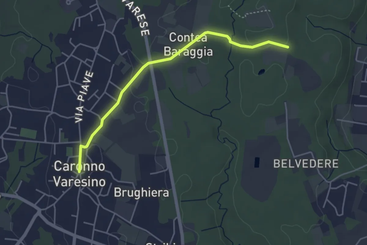
Easy · Trail
520D Collegamento Caronno Varesino-Dorsale RTO
4.0 km · ↑ 32 m · 1 h · 8 km away
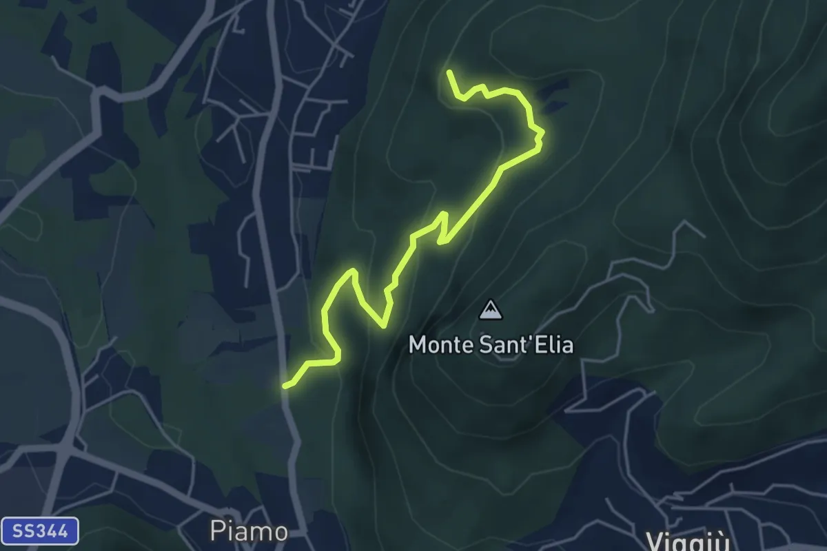
Medium · Summit
Variante Bernasca – Besano SP51
4.5 km · ↑ 236 m · 1 h 35 min · 8 km away
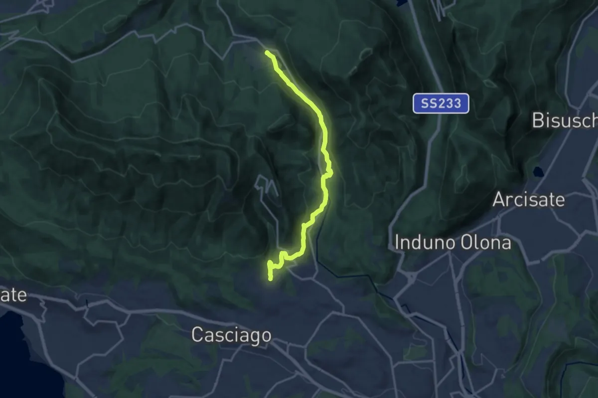
Medium · Trail
Brinzio – Velate
12.9 km · ↑ 355 m · 3 h 49 min · 8 km away
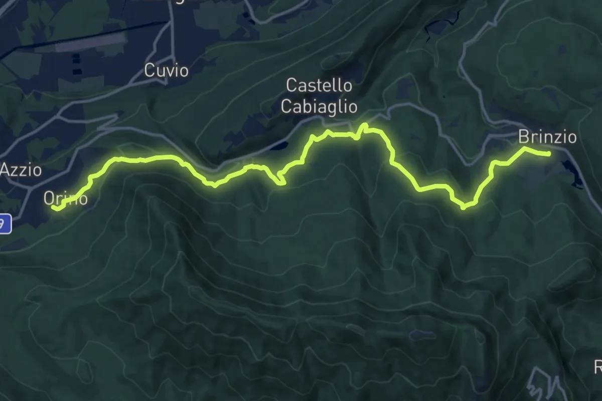
Medium · Trail
Orino, Piazza XI Febbraio – Brinzio, Via Piave
16.3 km · ↑ 703 m · 5 h 22 min · 8 km away
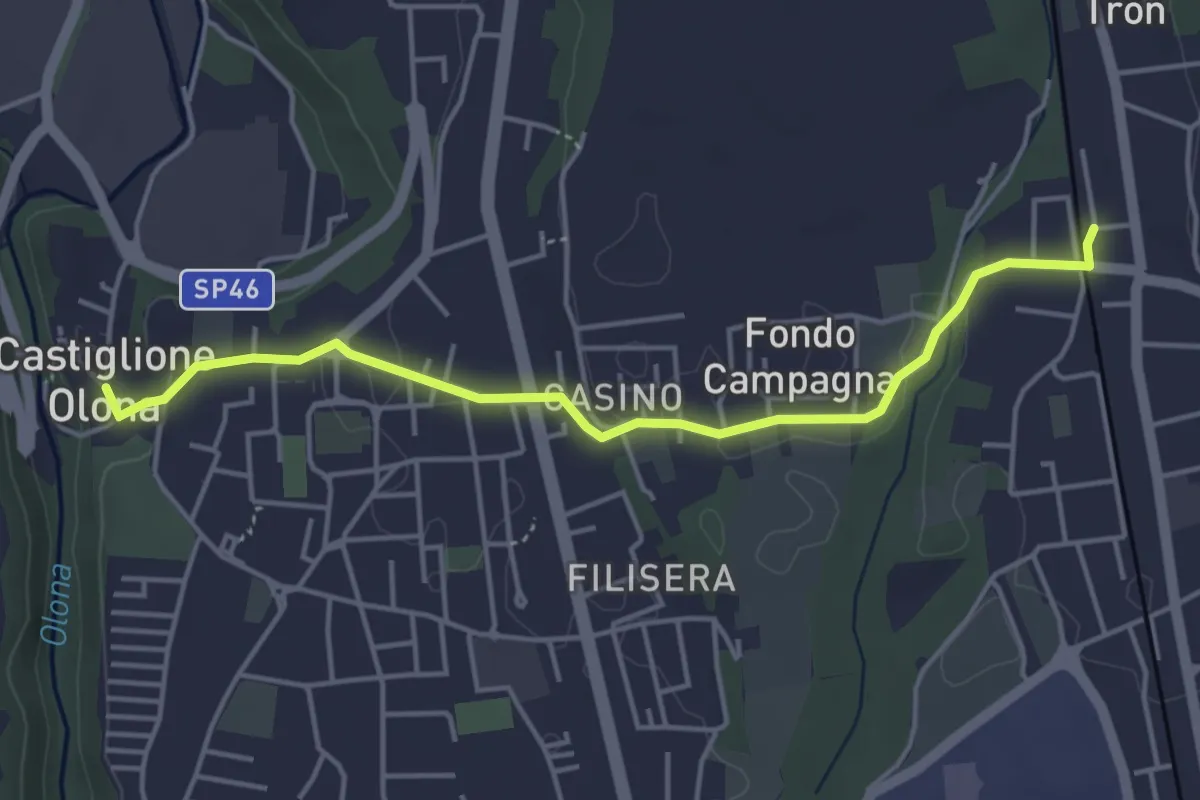
Easy · Trail
Collegamento Castiglione Olona-Trenord
4.6 km · ↑ 63 m · 1 h 13 min · 8 km away
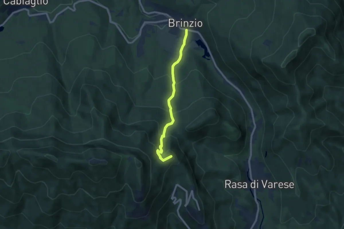
Medium · Summit
Brinzio – Valico Pizzelle
5.5 km · ↑ 420 m · 2 h 13 min · 8 km away
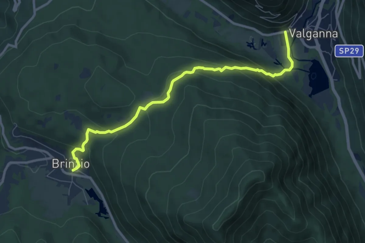
Demanding · Trail
315 - Brinzio-Badia di Ganna
7.7 km · ↑ 372 m · 2 h 37 min · 8 km away
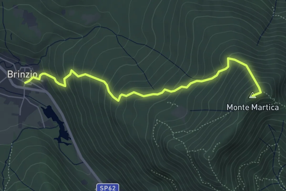
Medium · Summit
Brinzio - Monte Martica
5.6 km · ↑ 501 m · 2 h 25 min · 8 km away
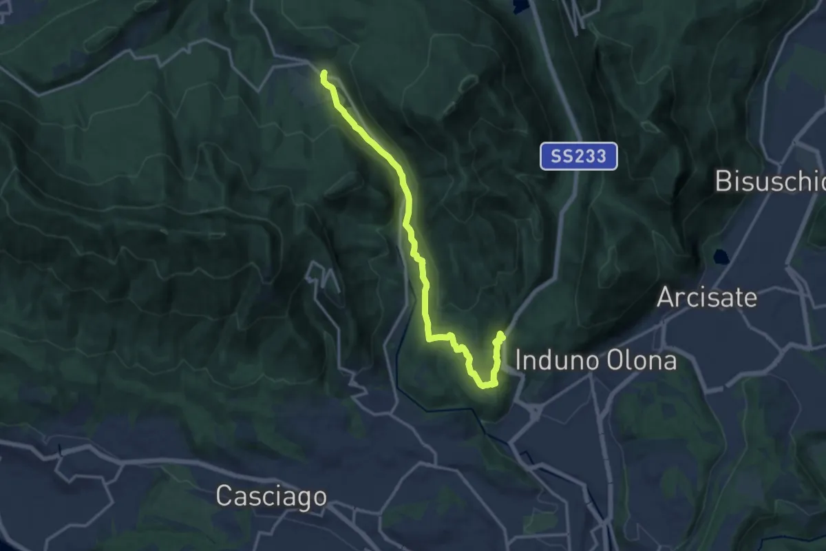
Medium · Trail
Bregazzana – Brinzio
13.4 km · ↑ 310 m · 3 h 50 min · 8 km away
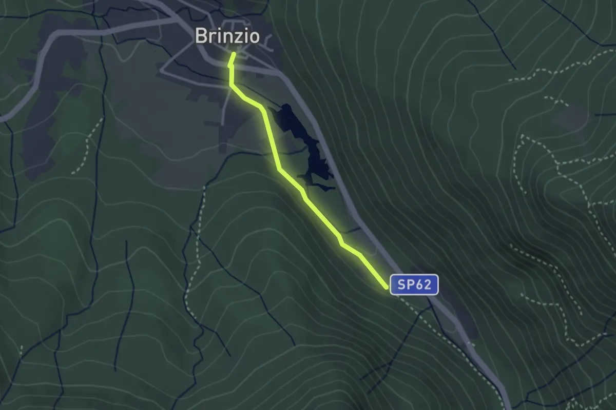
Easy · Trail
Lago di Brinzio
2.4 km · ↑ 43 m · 39 min · 8 km away
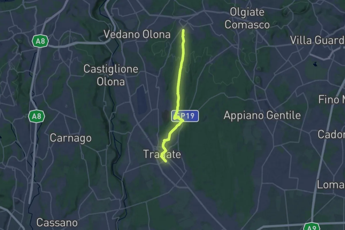
Demanding · Trail
Binago – Tradate
18.1 km · ↑ 185 m · 4 h 41 min · 8 km away
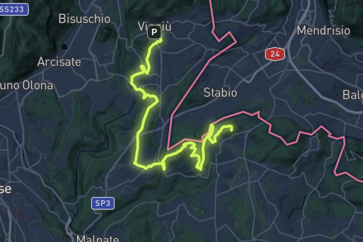
Demanding · Summit
Viggiù (Piazza Europa) – Bizzarone
32.7 km · ↑ 911 m · 9 h 42 min · 9 km away
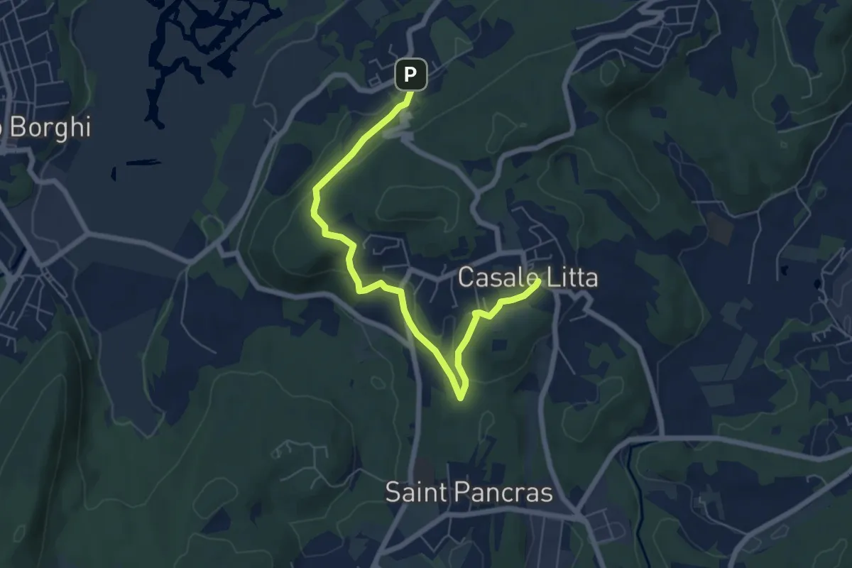
Easy · Trail
Piane Viscontee - Anello di Casale Litta
6.7 km · ↑ 183 m · 1 h 59 min · 9 km away
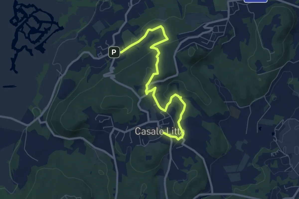
Easy · Trail
Piane Viscontee - Anello di Casale Litta
7.7 km · ↑ 219 m · 2 h 18 min · 9 km away
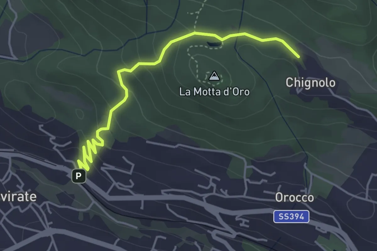
Easy · Trail
Gavirate – Percorso 311
4.3 km · ↑ 201 m · 1 h 26 min · 9 km away
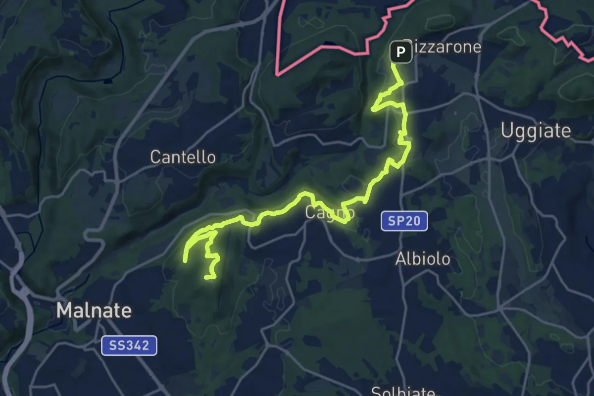
Demanding · Summit
Sentiero cima delle valli
18.5 km · ↑ 411 m · 5 h 16 min · 9 km away
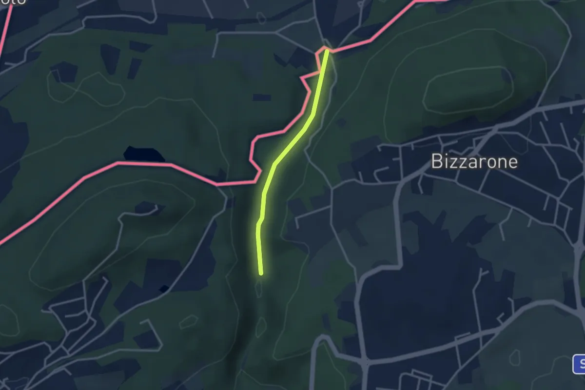
Easy · Trail
Sentiero di Fondovalle
2.3 km · ↑ 32 m · 37 min · 9 km away
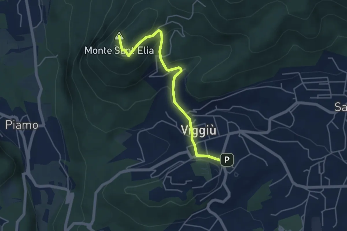
Medium · Summit
Viggiu' – Colle Sant'Elia
4.1 km · ↑ 180 m · 1 h 21 min · 9 km away
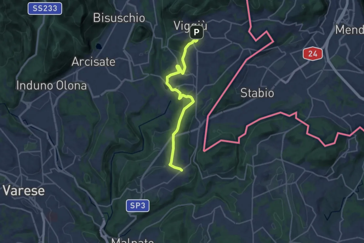
Medium · Trail
Viggiù – Cantello (Ligurno)
15.8 km · ↑ 332 m · 4 h 27 min · 9 km away
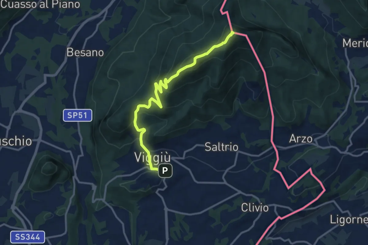
Medium · Summit
Viggiu' – Monte Pravello
9.9 km · ↑ 605 m · 3 h 39 min · 9 km away
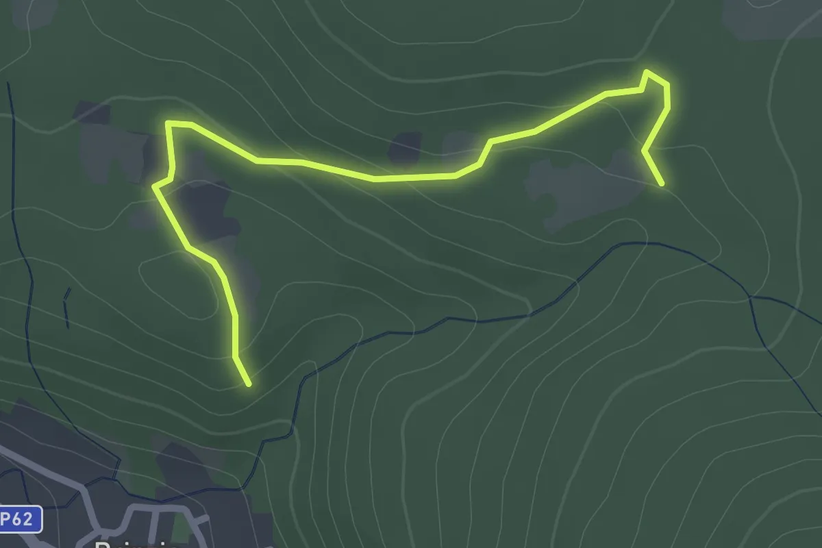
Easy · Trail
Sentiero 315B collegamento
2.6 km · ↑ 83 m · 47 min · 9 km away
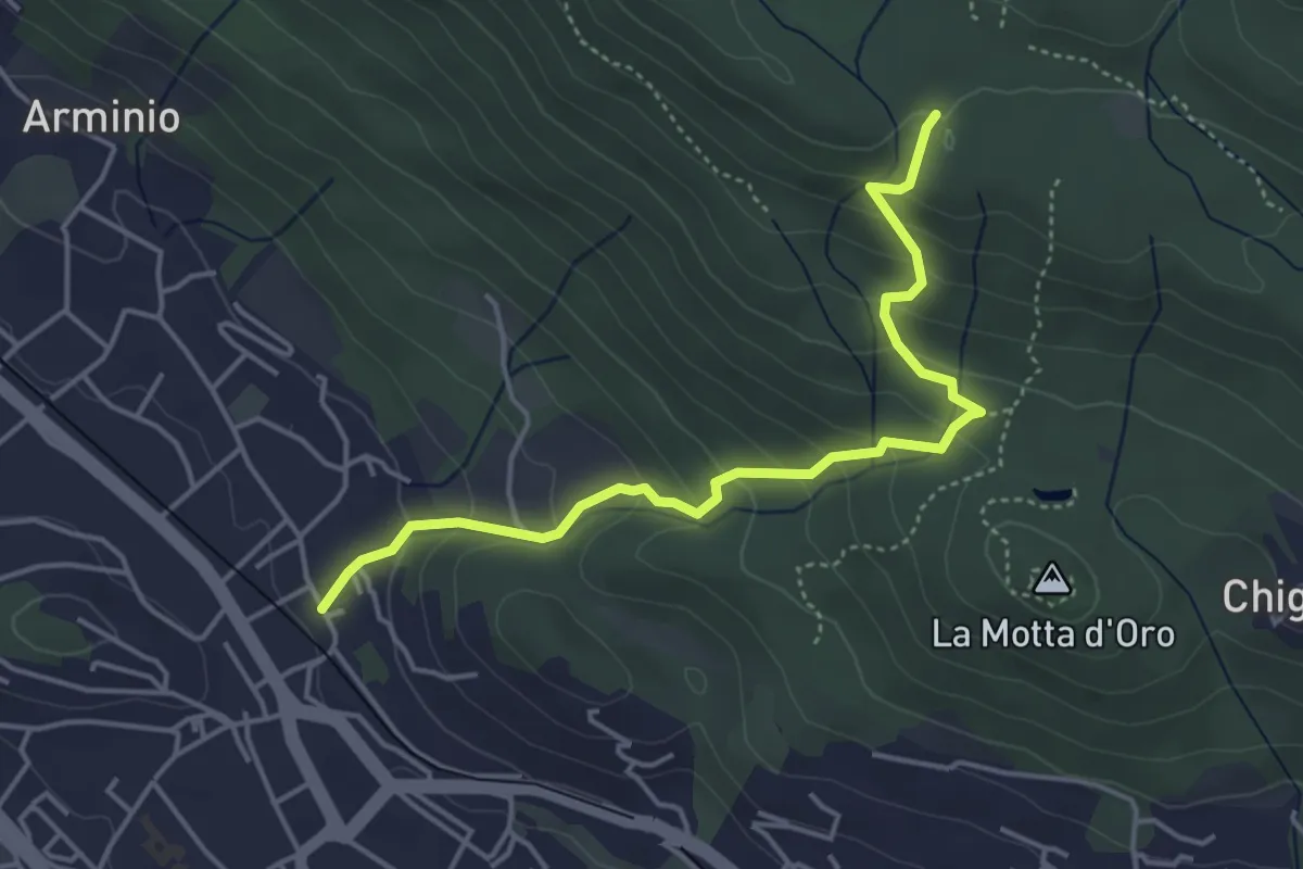
Easy · Trail
Gavirate – Forte di Orino (Percorso 310A)
4.6 km · ↑ 317 m · 1 h 46 min · 9 km away
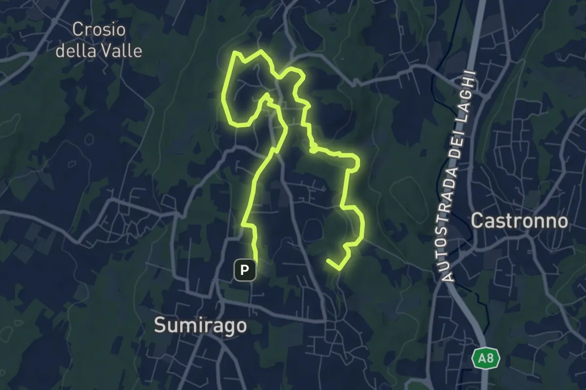
Medium · Summit
Piane Viscontee - Anello di Sumirago
12.3 km · ↑ 254 m · 3 h 28 min · 9 km away
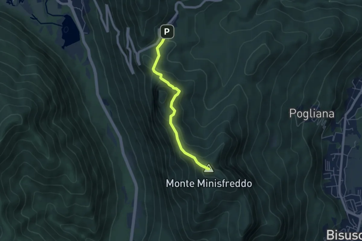
Demanding · Summit
Alpe Tedesco - Monte Rho d'Arcisate
4.5 km · ↑ 345 m · 1 h 48 min · 9 km away
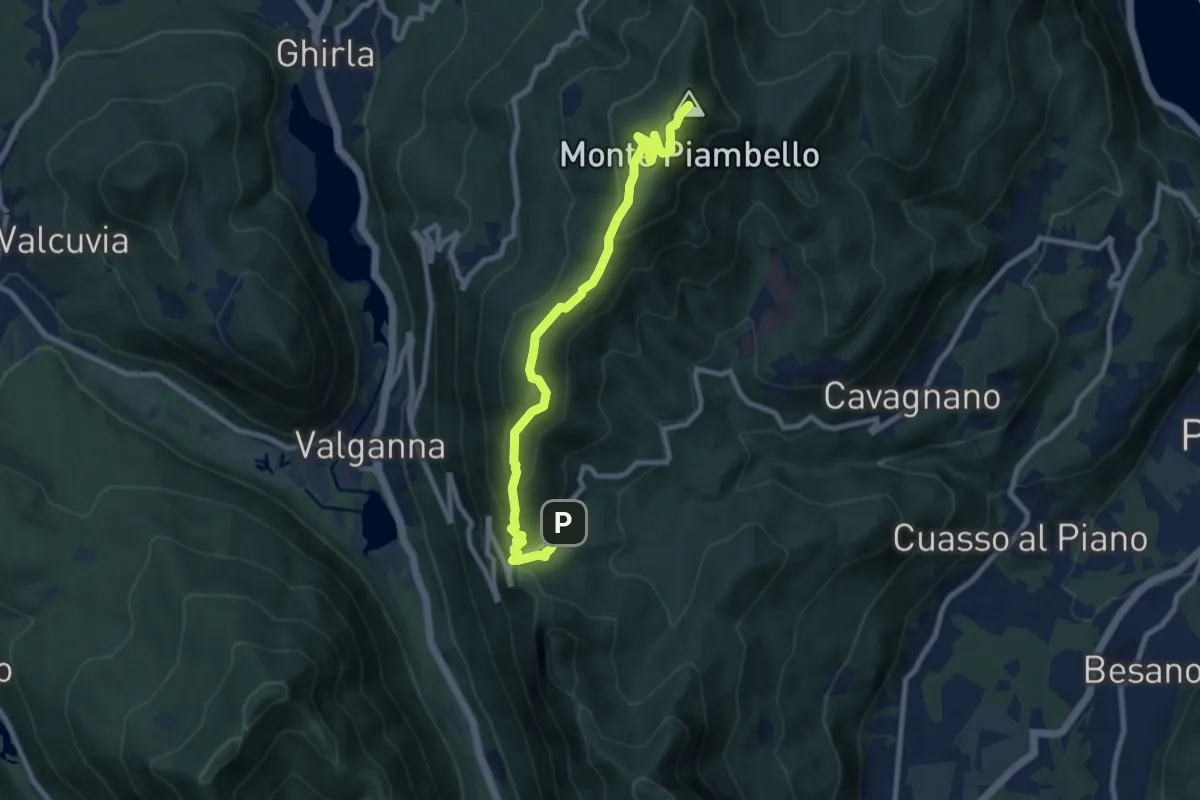
Medium · Summit
Alpe Tedesco – Monte Piambello
9.4 km · ↑ 459 m · 3 h 13 min · 9 km away
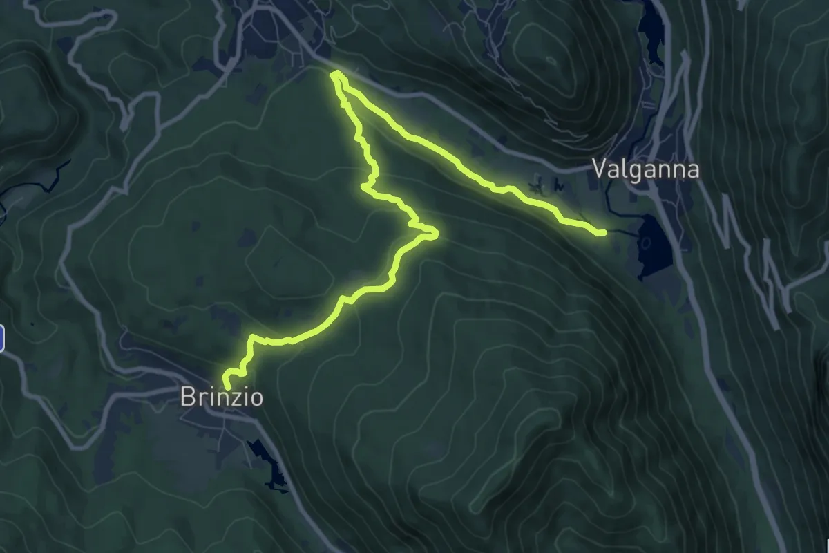
Medium · Trail
Brinzio – Valganna
11.4 km · ↑ 409 m · 3 h 34 min · 9 km away
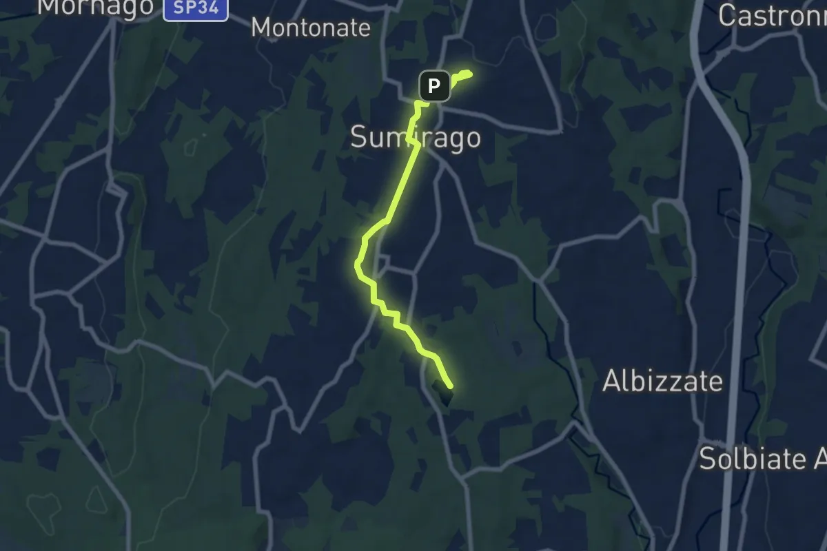
Easy · Trail
Piane Viscontee - Anello di Sumirago
6.9 km · ↑ 94 m · 1 h 50 min · 9 km away
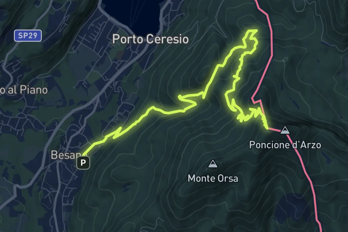
Demanding · Summit
Besano – Monte Pravello
15.0 km · ↑ 1031 m · 5 h 46 min · 9 km away
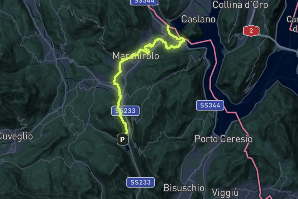
Demanding · Trail
Via Francisca del Lucomagno: Tappa 1
28.2 km · ↑ 503 m · 7 h 45 min · 9 km away
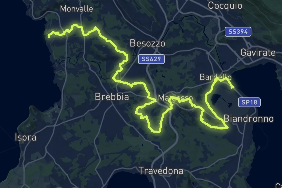
Medium · Trail
Sentiero dei Mulini
17.8 km · ↑ 250 m · 5 h 1 min · 9 km away
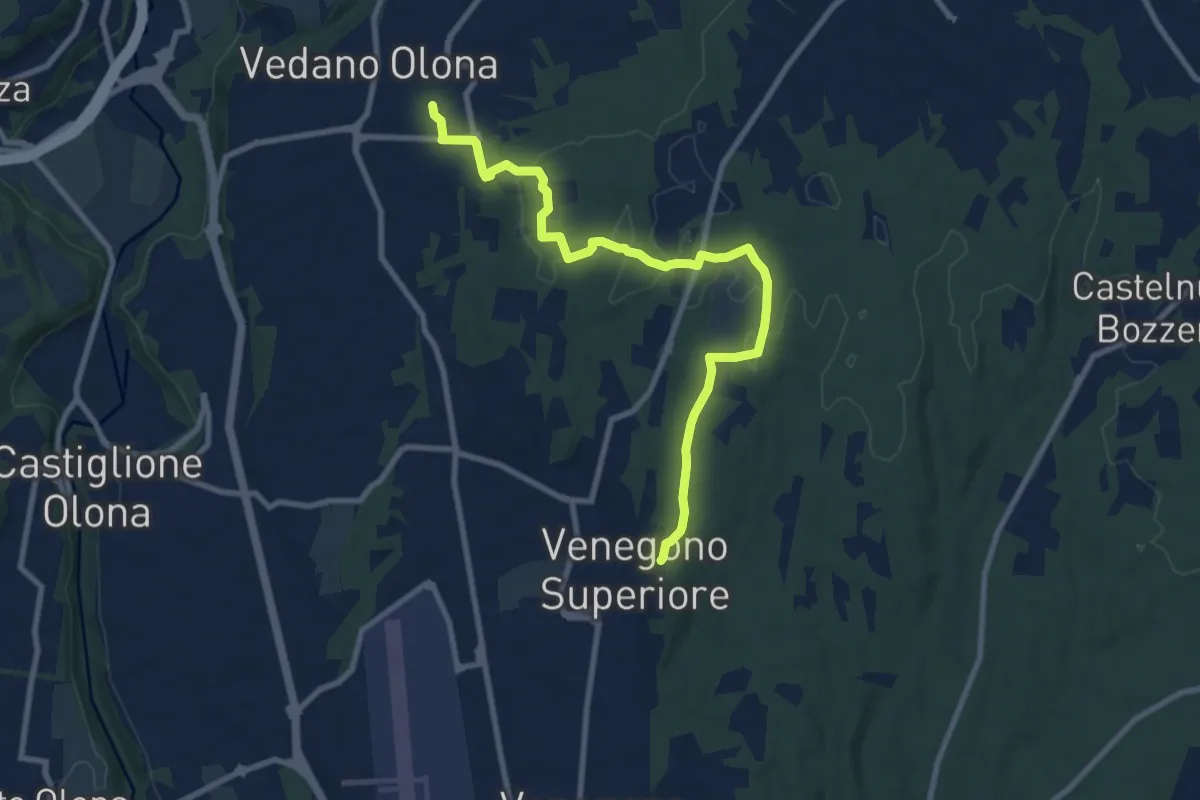
Medium · Trail
Venegono Superiore – Vedano Olona
9.7 km · ↑ 136 m · 2 h 35 min · 10 km away
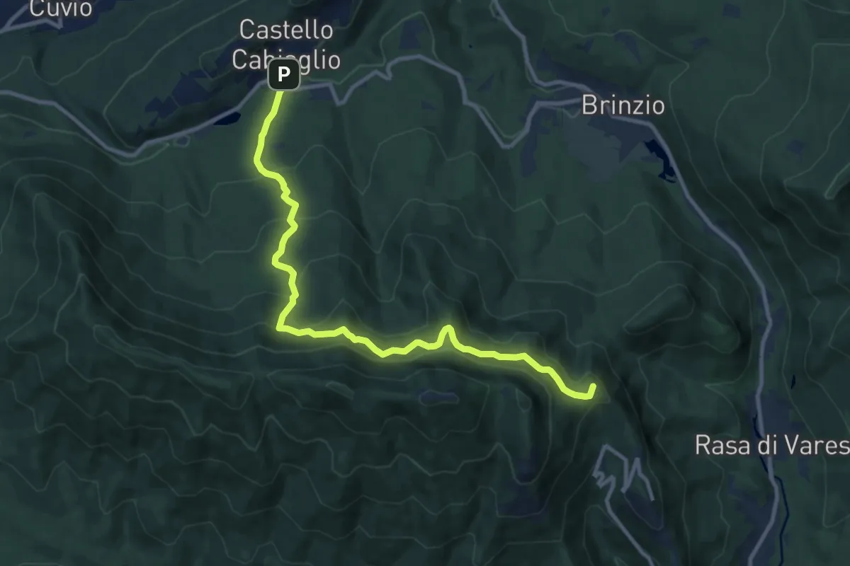
Medium · Summit
Santa Maria del Monte – Castello Cabiaglio
11.0 km · ↑ 725 m · 4 h 10 min · 10 km away
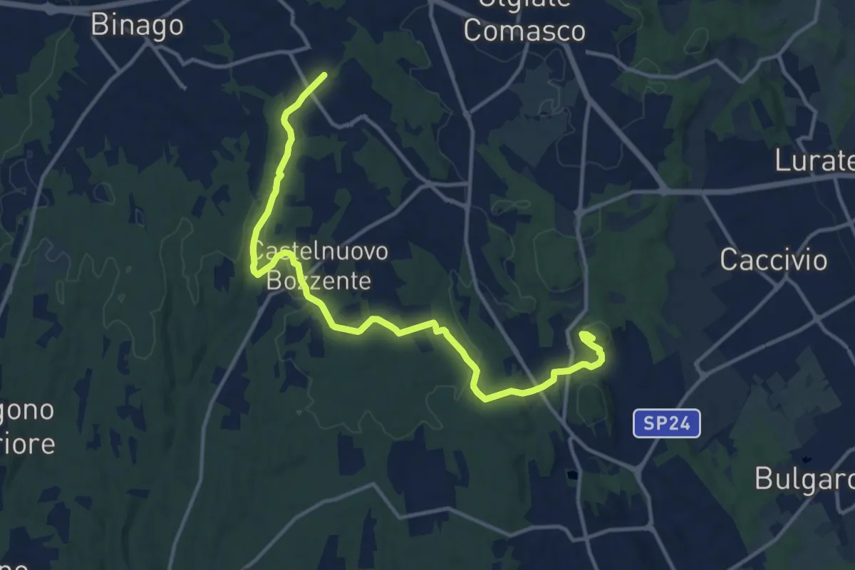
Medium · Trail
Sentiero 846
13.8 km · ↑ 196 m · 3 h 41 min · 10 km away
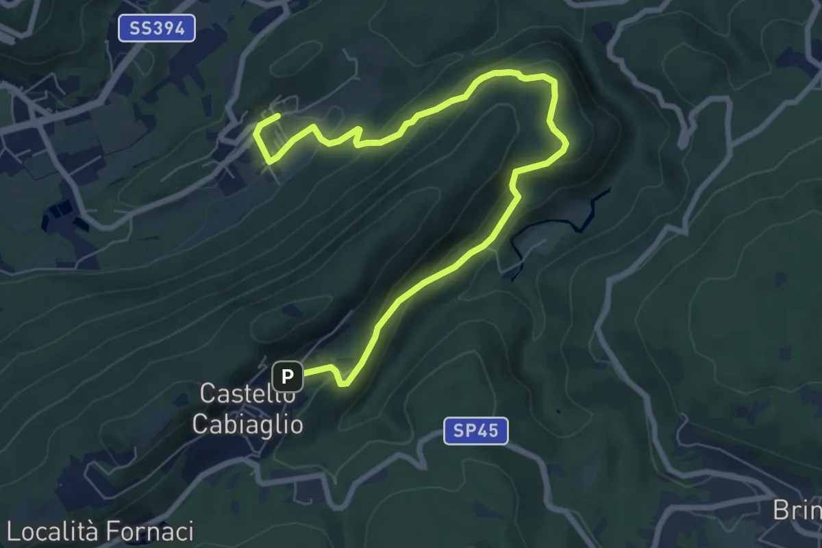
Medium · Trail
Castello Cabiaglio – Cavona
8.5 km · ↑ 375 m · 2 h 49 min · 10 km away
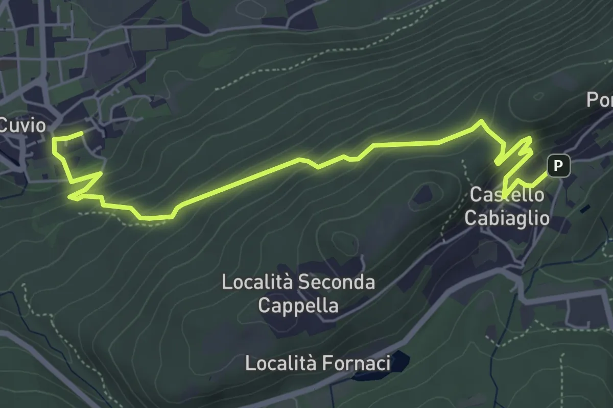
Demanding · Trail
Cuvio – Castello Cabiaglio
6.3 km · ↑ 333 m · 2 h 12 min · 10 km away
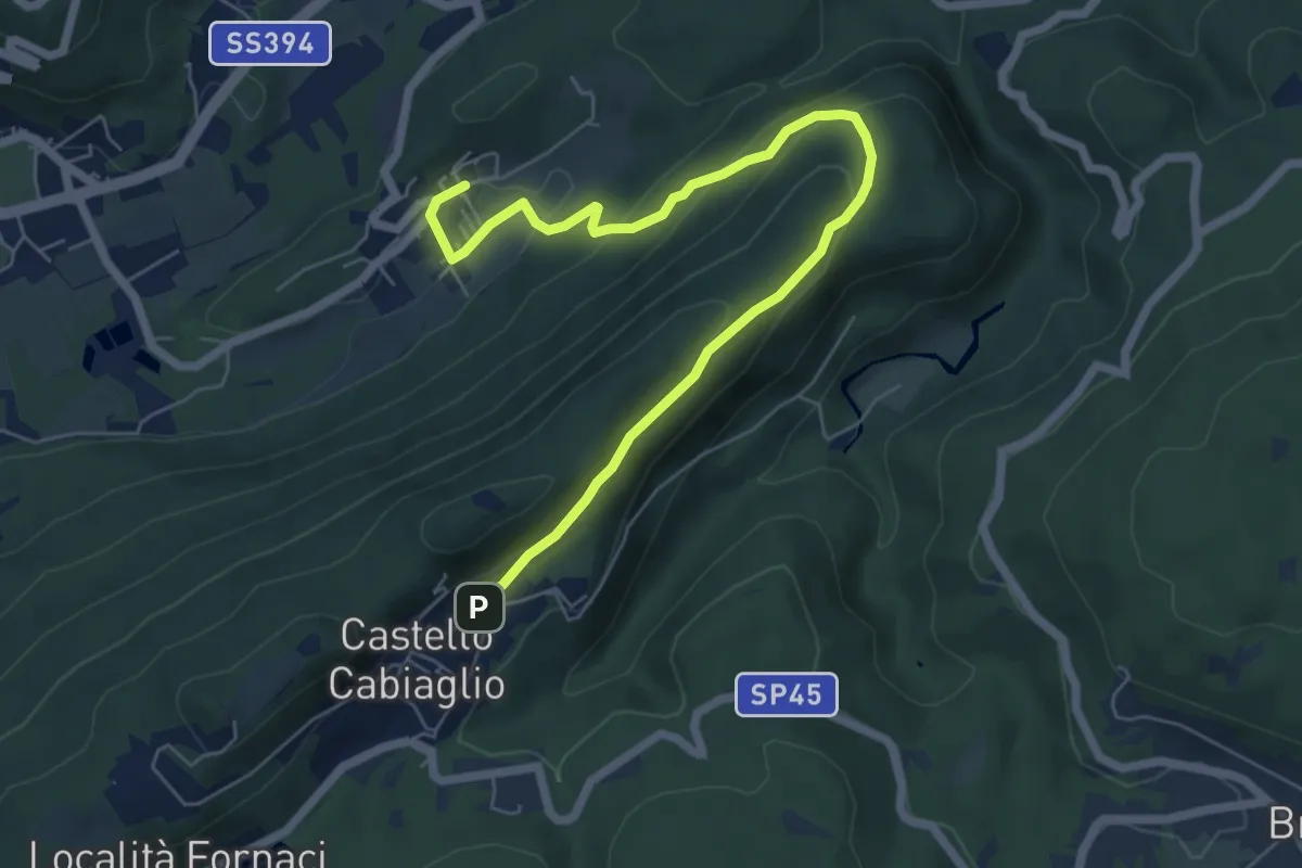
Medium · Trail
Castello Cabiaglio – Cavona
7.3 km · ↑ 341 m · 2 h 28 min · 10 km away