Trails near Varese
231 hikes starting within 15 km, nearest first.
Nearest first, page 3 of 5
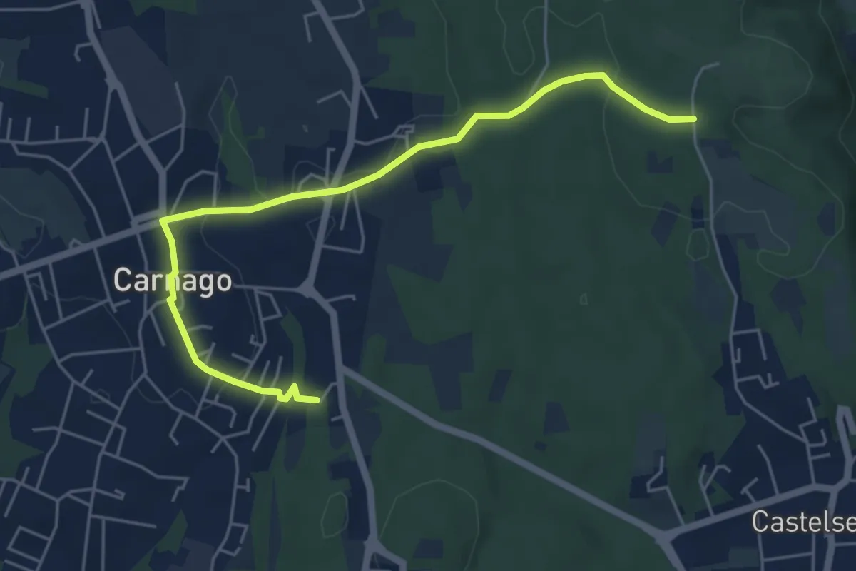
Easy · Trail
520E Collegamento Carnago
5.6 km · ↑ 67 m · 1 h 28 min · 10 km away
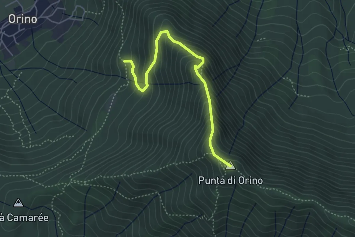
Demanding · Summit
Scarett
4.1 km · ↑ 393 m · 1 h 50 min · 10 km away
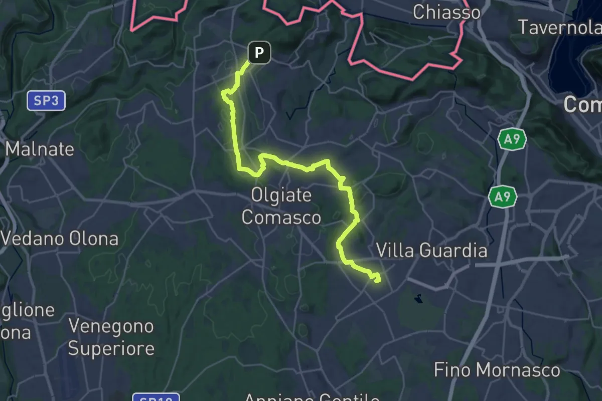
Demanding · Trail
Lurate Caccivio – Bizzarrone confine (CH)
25.7 km · ↑ 211 m · 6 h 31 min · 10 km away
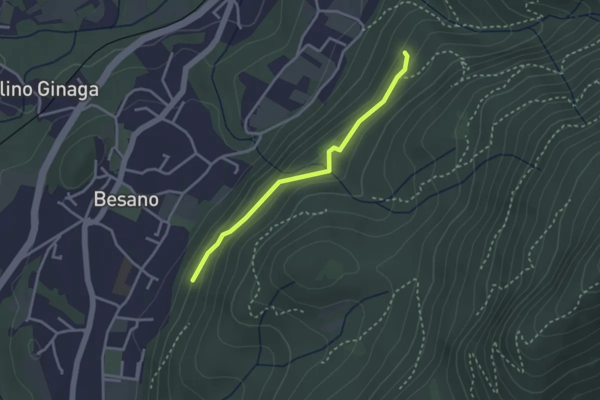
Easy · Trail
Bivio rocce cadenti – Intersezione con 461A
2.5 km · ↑ 116 m · 50 min · 10 km away
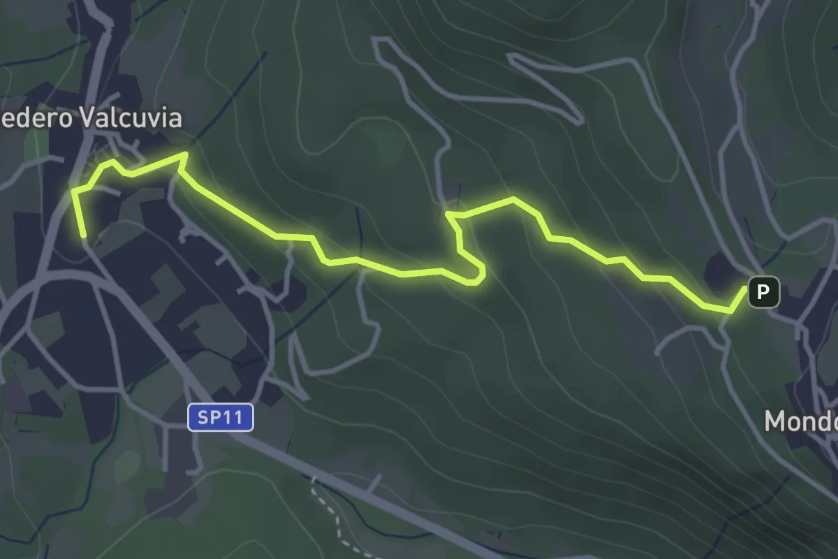
Easy · Trail
Bedero Valcuvia – Madonna degli alpini
3.9 km · ↑ 184 m · 1 h 19 min · 10 km away
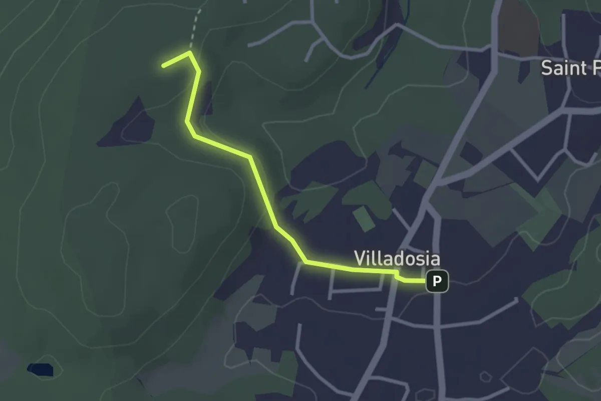
Easy · Trail
Villadosia – Cascina Bruciata
2.5 km · ↑ 56 m · 43 min · 10 km away
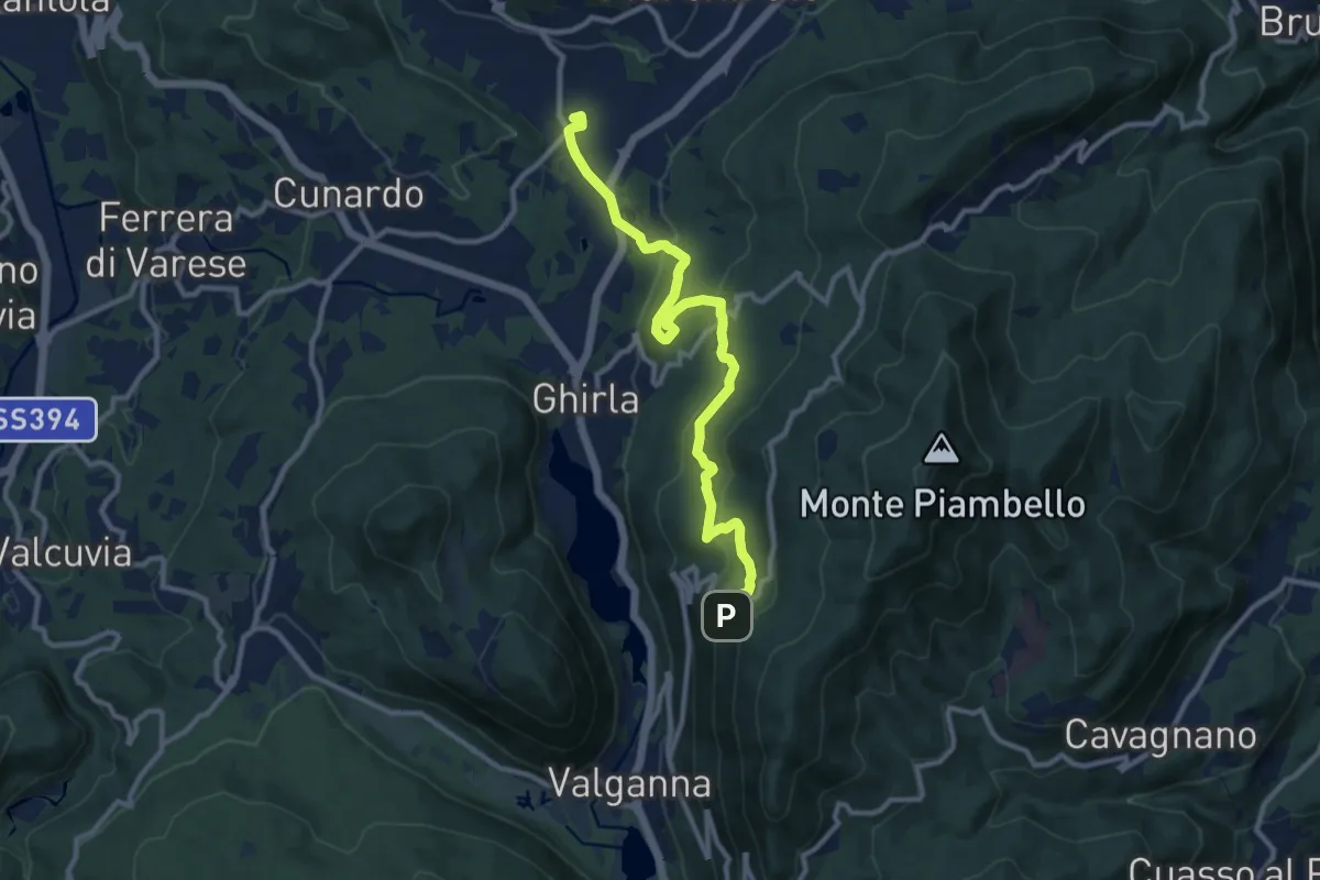
Medium · Trail
Cugliate – Boarezzo
10.9 km · ↑ 365 m · 3 h 22 min · 11 km away
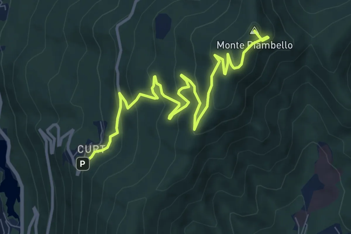
Medium · Summit
Cuasso al Monte – Boarezzo
9.5 km · ↑ 545 m · 3 h 25 min · 11 km away
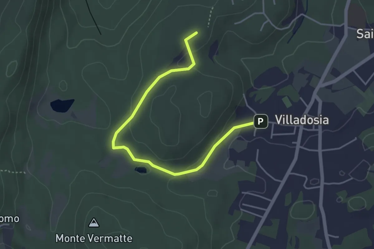
Easy · Trail
Via Santa Maria – Cascina Bruciata
4.3 km · ↑ 84 m · 1 h 12 min · 11 km away
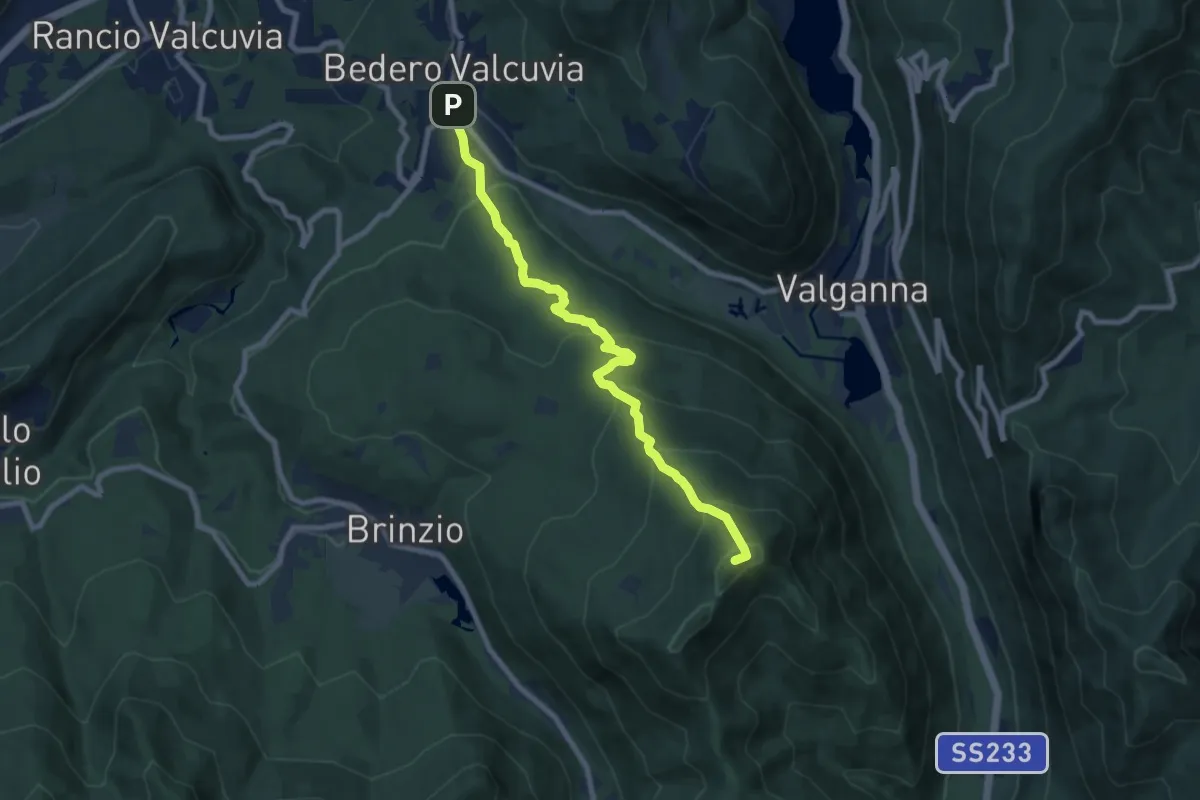
Medium · Summit
Bedero Valcuvia (via Ganna) – Monte Martica
8.2 km · ↑ 548 m · 3 h 8 min · 11 km away
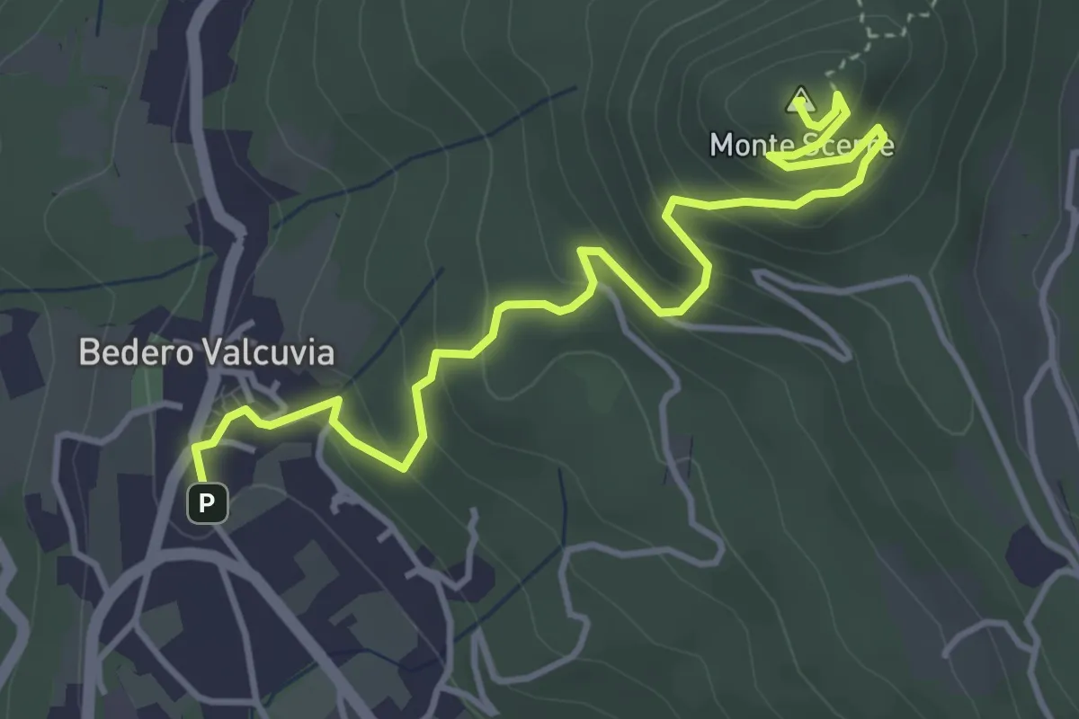
Easy · Summit
Bedero Valcuvia – Monte Scerre'
4.7 km · ↑ 289 m · 1 h 44 min · 11 km away
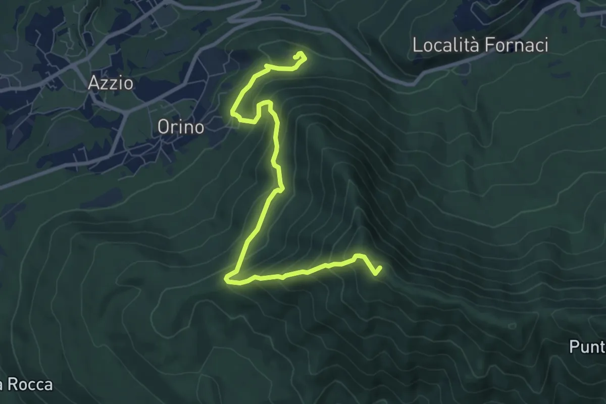
Medium · Summit
Rocca di Orino – Forte di Orino
8.4 km · ↑ 685 m · 3 h 28 min · 11 km away
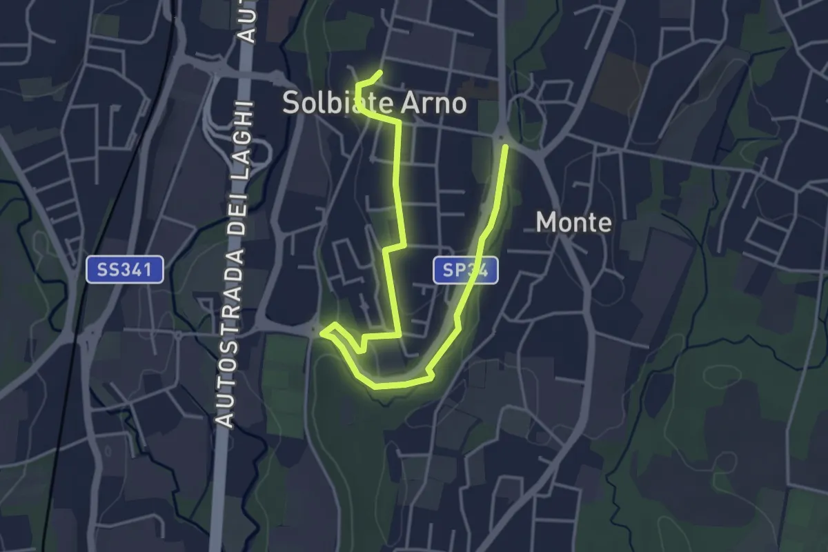
Easy · Trail
Percorsi del Cuore - Anello di Solbiate Arno
5.0 km · ↑ 72 m · 1 h 20 min · 11 km away
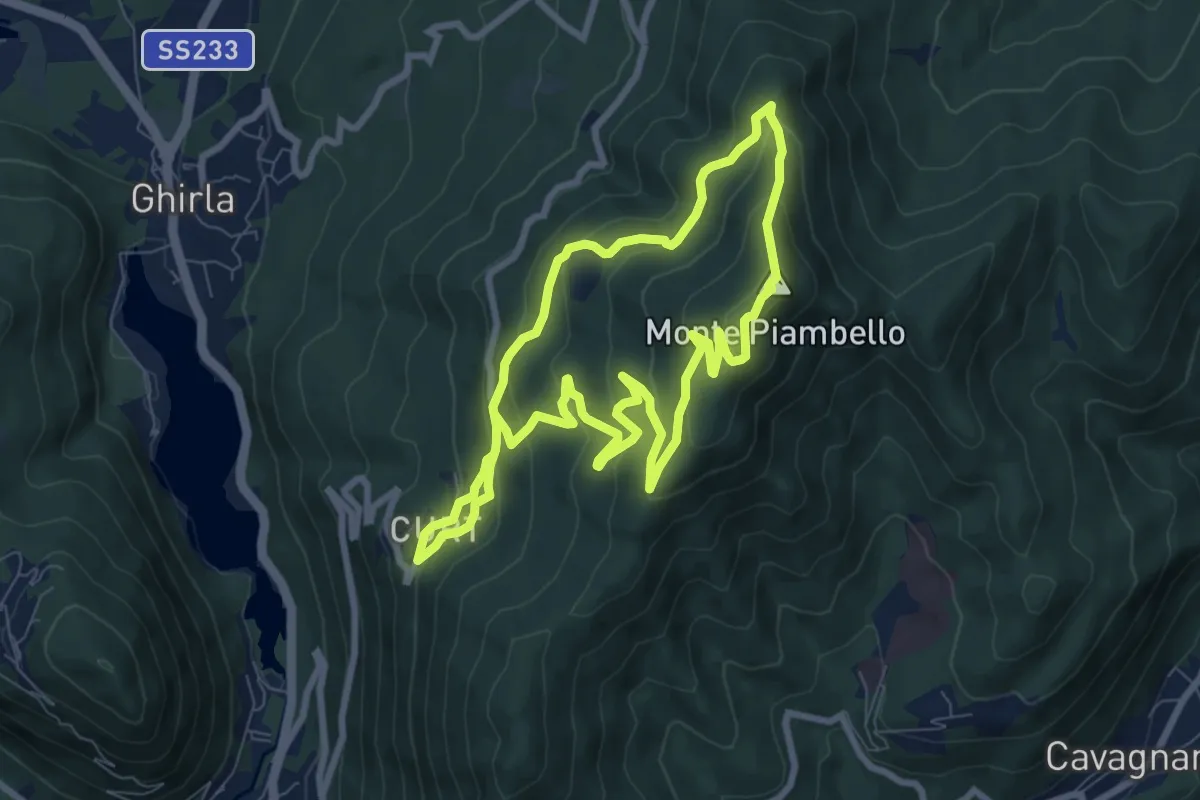
Medium · Summit
Boarezzo anello – Boarezzo
7.8 km · ↑ 425 m · 2 h 52 min · 11 km away
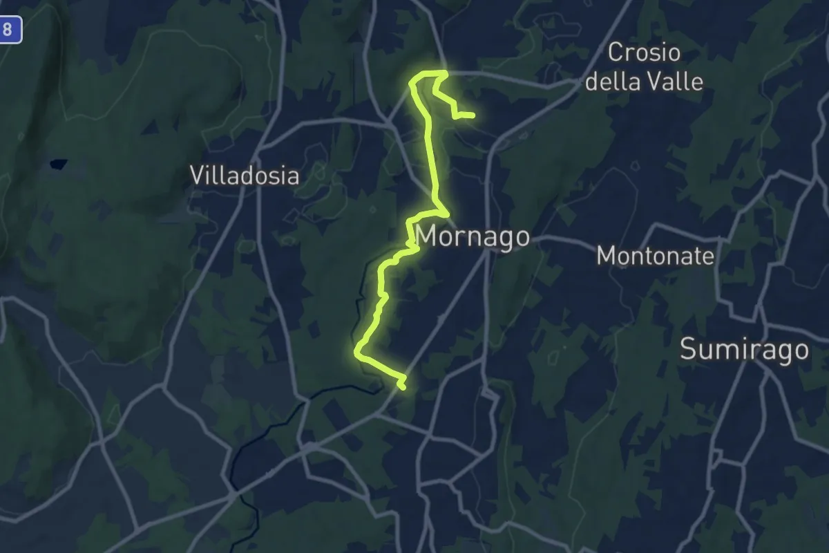
Medium · Trail
Piane Viscontee - Anello di Mornago
8.8 km · ↑ 63 m · 2 h 12 min · 11 km away
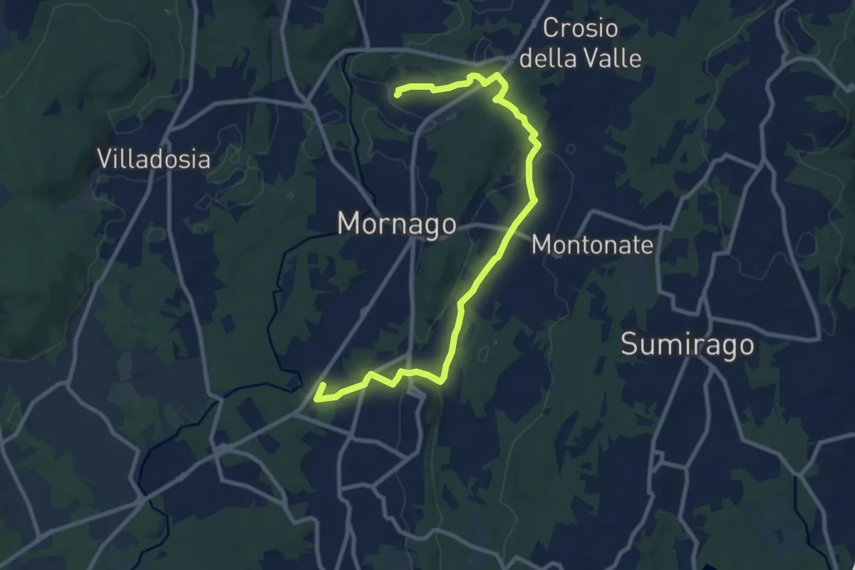
Medium · Trail
Piane Viscontee - Anello di Mornago
10.0 km · ↑ 100 m · 2 h 34 min · 11 km away
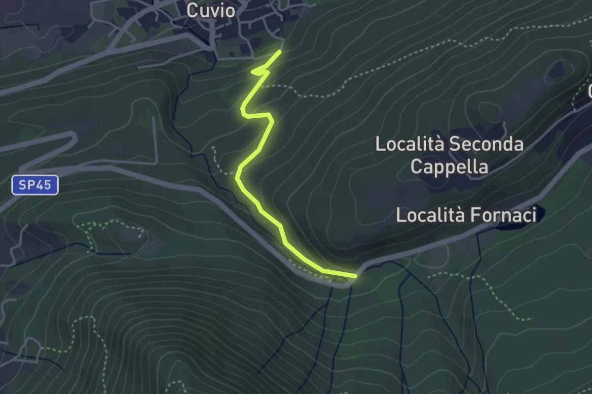
Easy · Trail
Cuvio – Fornaci
3.1 km · ↑ 163 m · 1 h 5 min · 11 km away
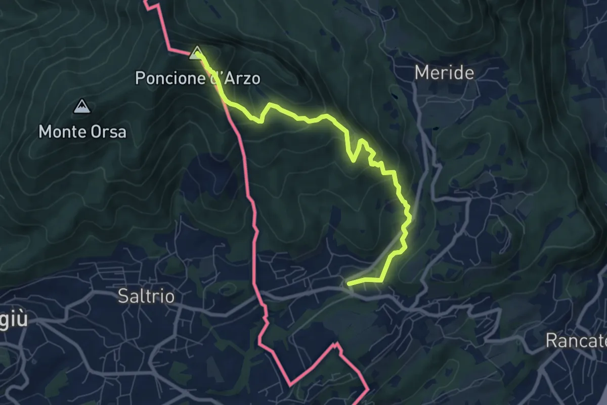
Medium · Summit
Poncione d'Arzo – Arzo
8.0 km · ↑ 537 m · 3 h 3 min · 11 km away
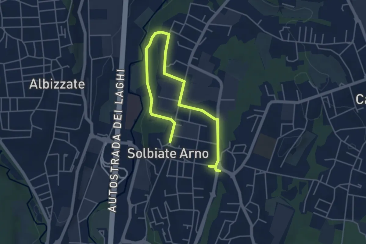
Easy · Trail
Percorsi del Cuore - Anello di Solbiate Arno
5.3 km · ↑ 64 m · 1 h 23 min · 11 km away
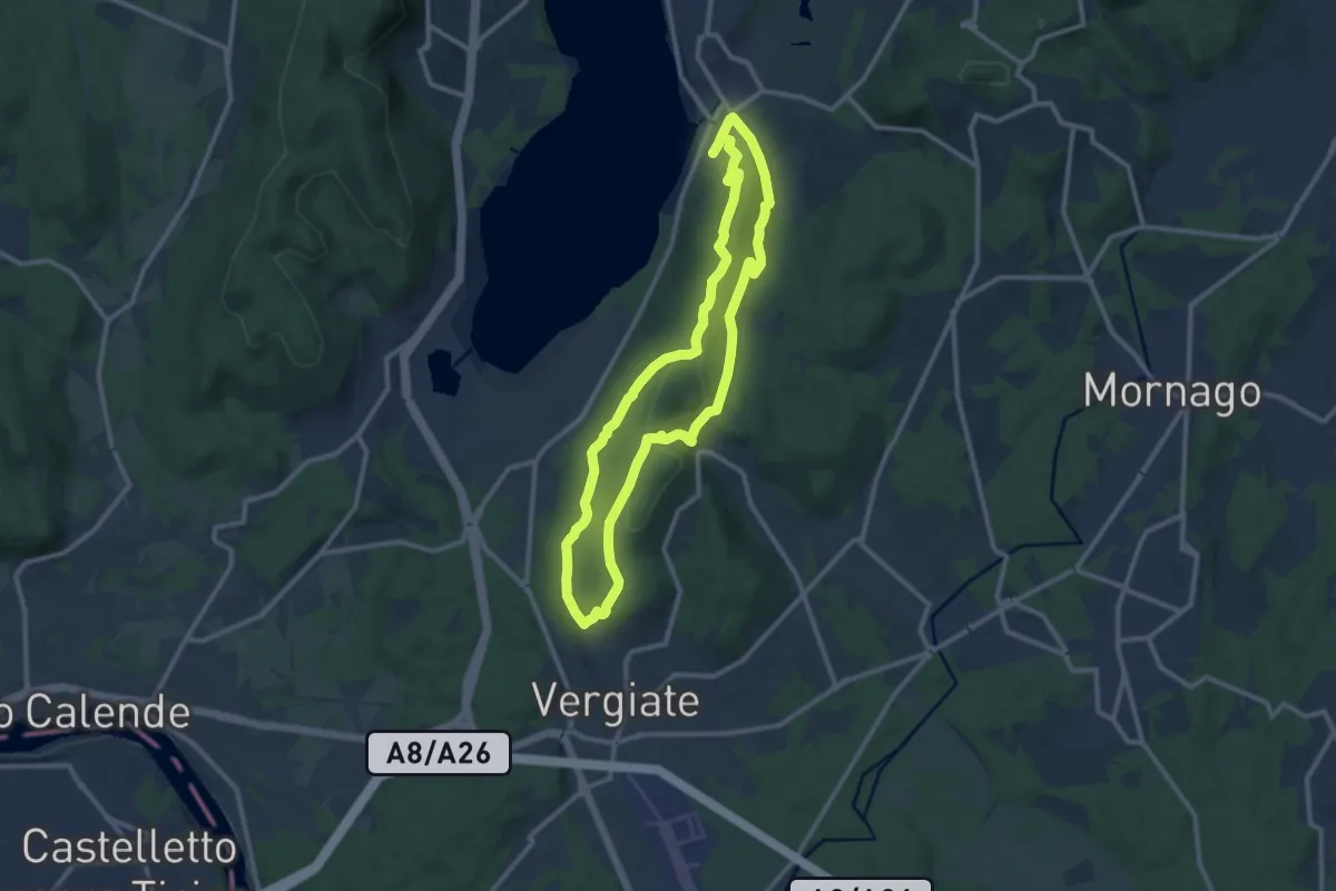
Medium · Trail
Anello Monte San Giacomo
10.6 km · ↑ 320 m · 3 h 20 min · 11 km away
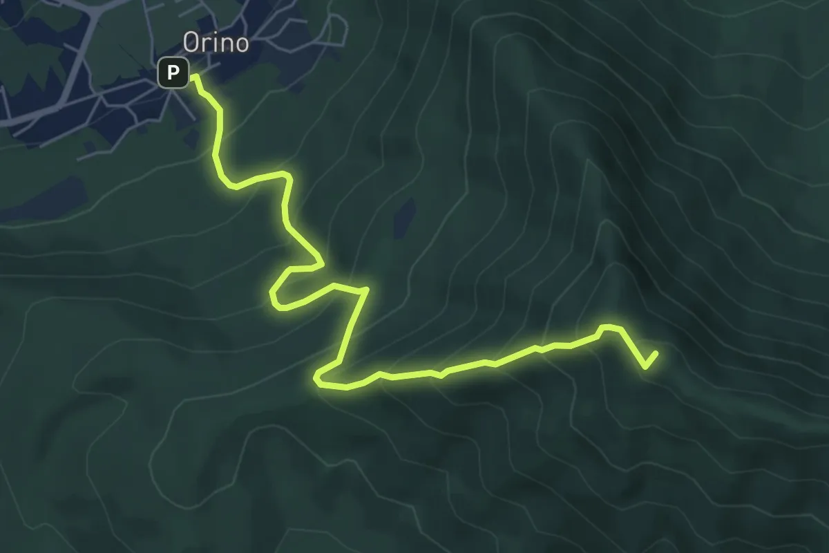
Medium · Summit
Orino – Forte di Orino
6.7 km · ↑ 692 m · 3 h 5 min · 11 km away
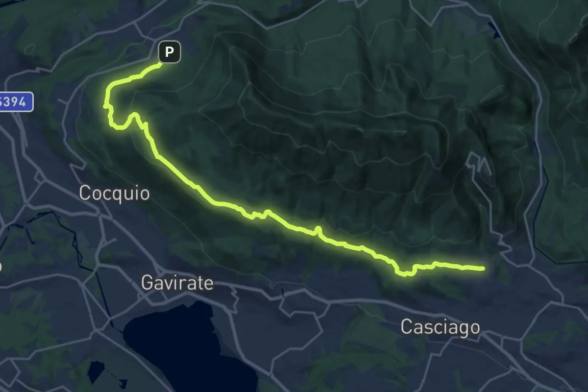
Demanding · Trail
Velate – Orino
22.5 km · ↑ 569 m · 6 h 33 min · 11 km away
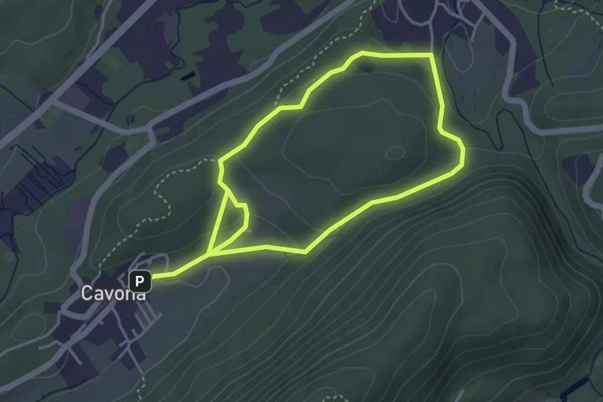
Demanding · Trail
Anello della Valcanasca
6.5 km · ↑ 223 m · 2 h 1 min · 11 km away
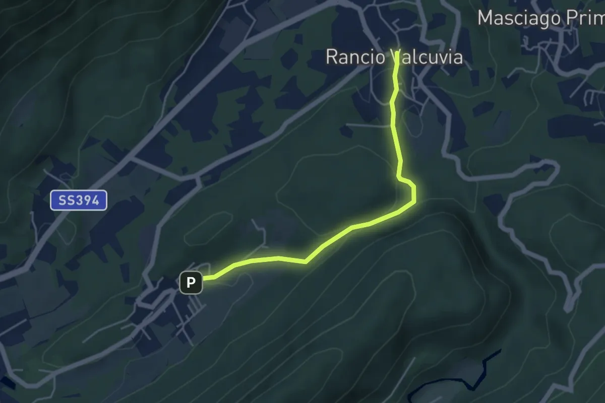
Demanding · Trail
325A Sentiero della Valcanasca
4.1 km · ↑ 131 m · 1 h 15 min · 11 km away
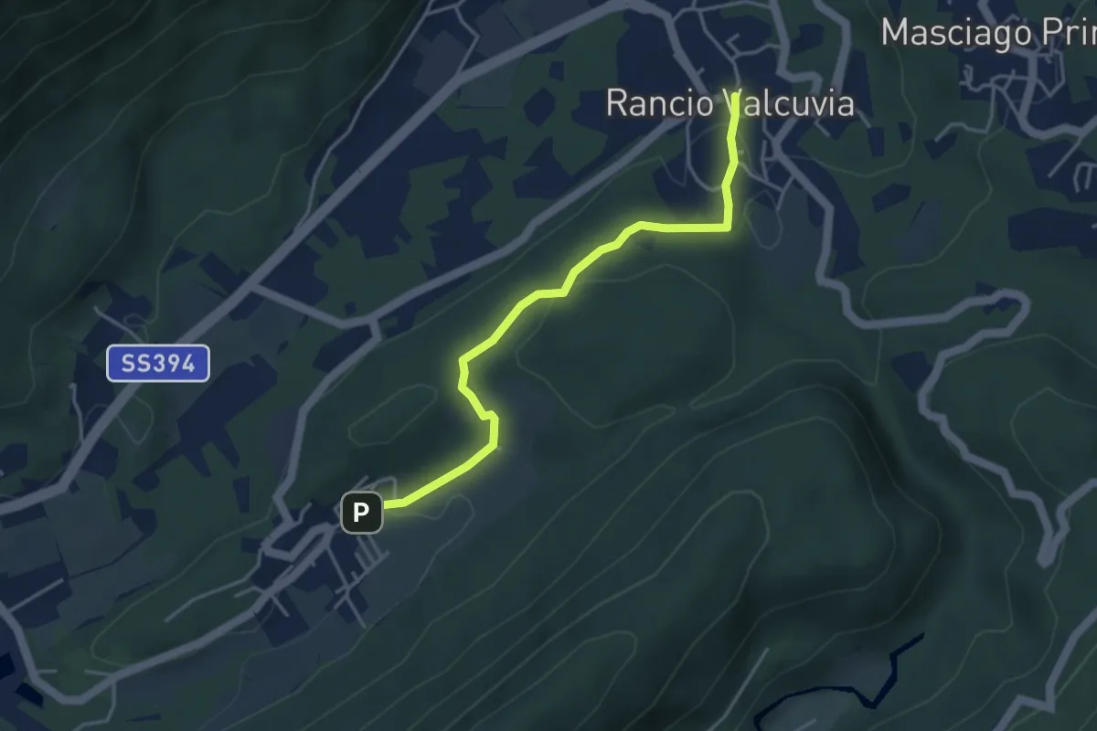
Easy · Trail
Cavona – Rancio Valcuvia
3.9 km · ↑ 87 m · 1 h 7 min · 11 km away
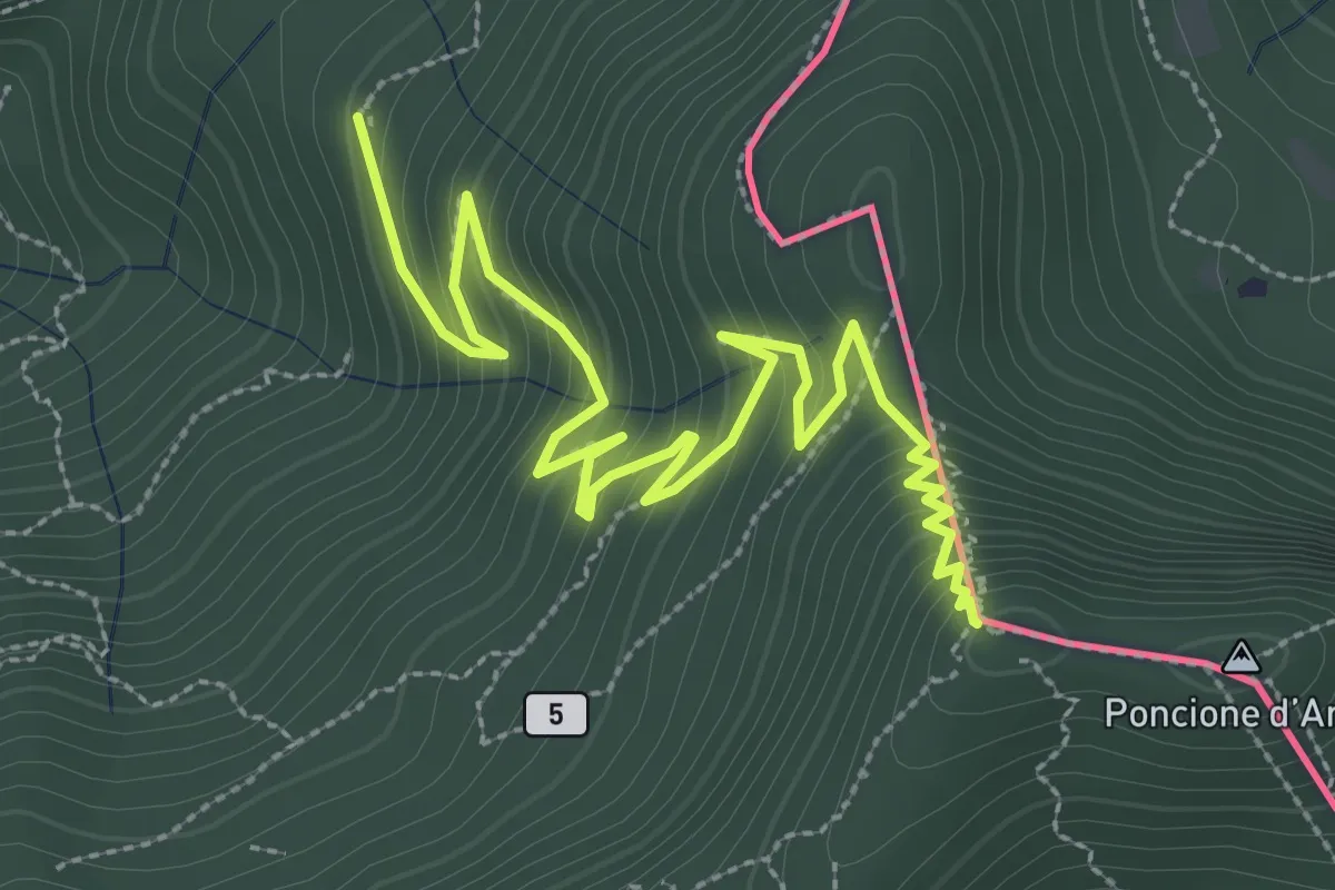
Medium · Summit
Besano – Monte Pravello
4.1 km · ↑ 402 m · 1 h 50 min · 11 km away
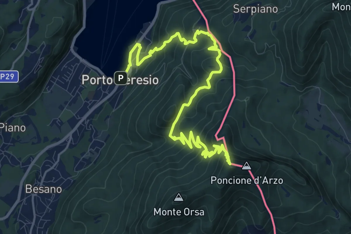
Demanding · Summit
Porto Ceresio – Viggiù (Piazza Europa)
15.3 km · ↑ 1101 m · 5 h 59 min · 11 km away
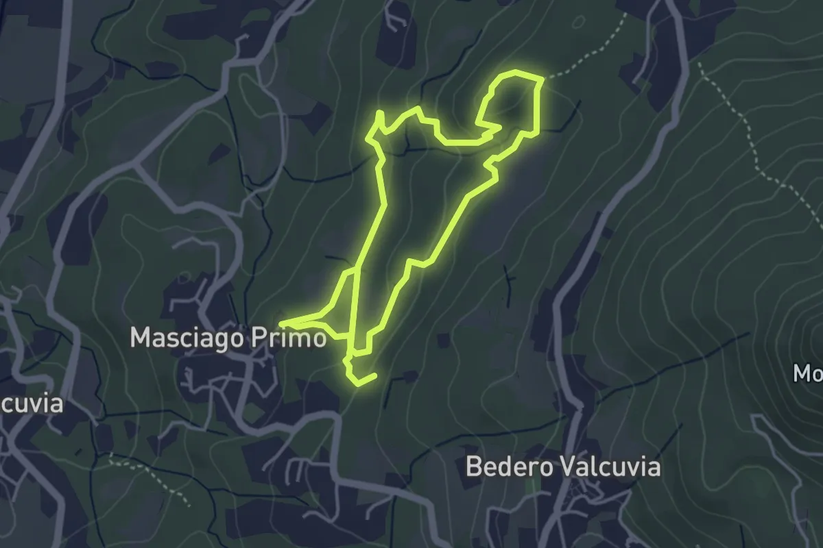
Easy · Trail
Sentiero Furia
7.2 km · ↑ 269 m · 2 h 17 min · 11 km away
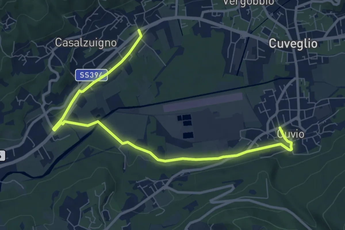
Medium · Trail
Villa Bozzolo – Cuvio
8.7 km · ↑ 92 m · 2 h 15 min · 11 km away
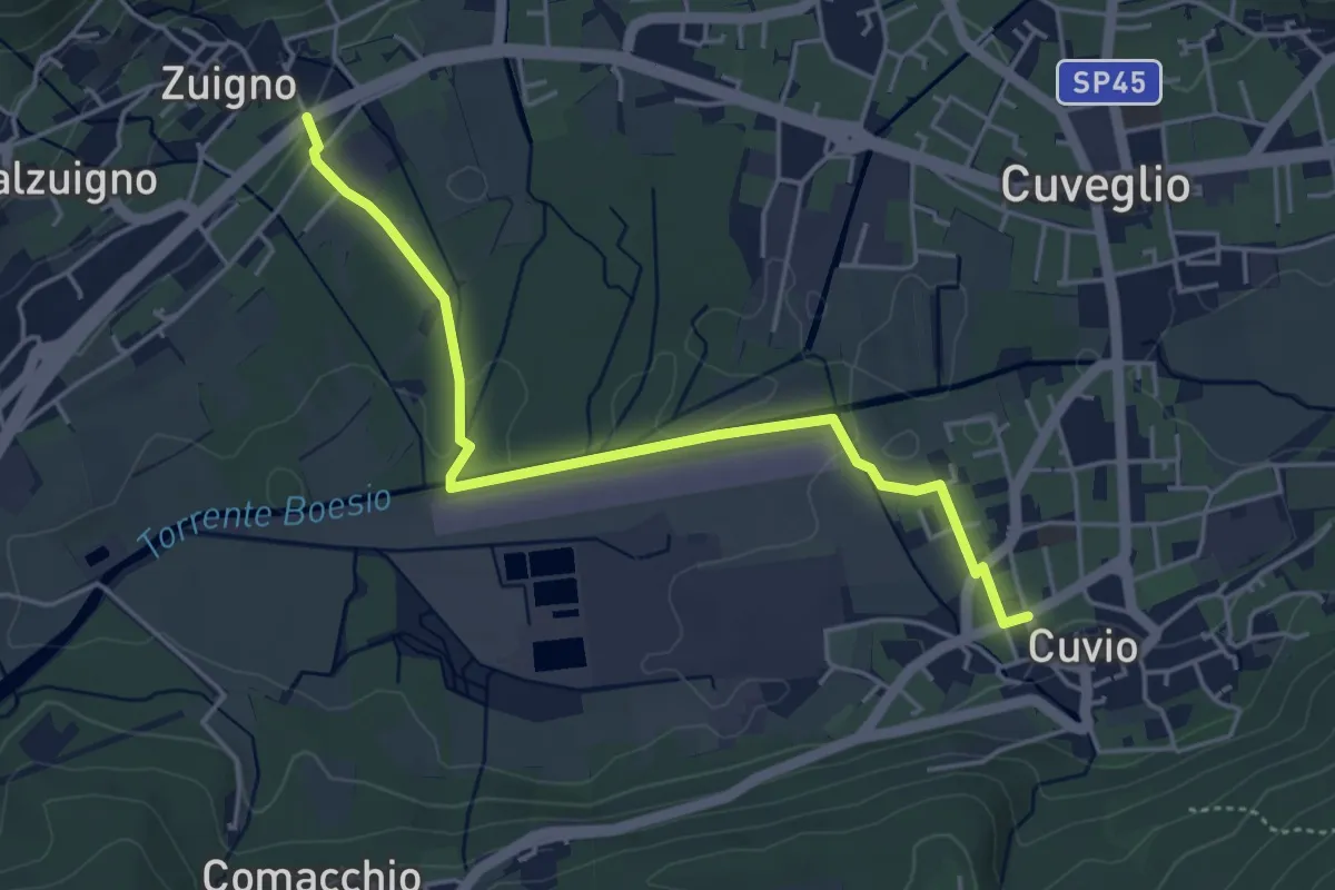
Easy · Trail
Cuvio – Villa Bozzolo
4.6 km · ↑ 33 m · 1 h 10 min · 11 km away
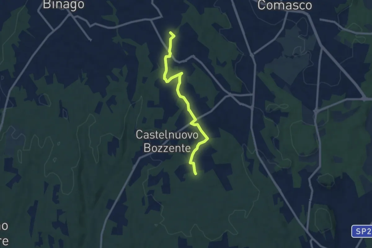
Easy · Trail
Sentiero 846B
6.5 km · ↑ 44 m · 1 h 38 min · 11 km away
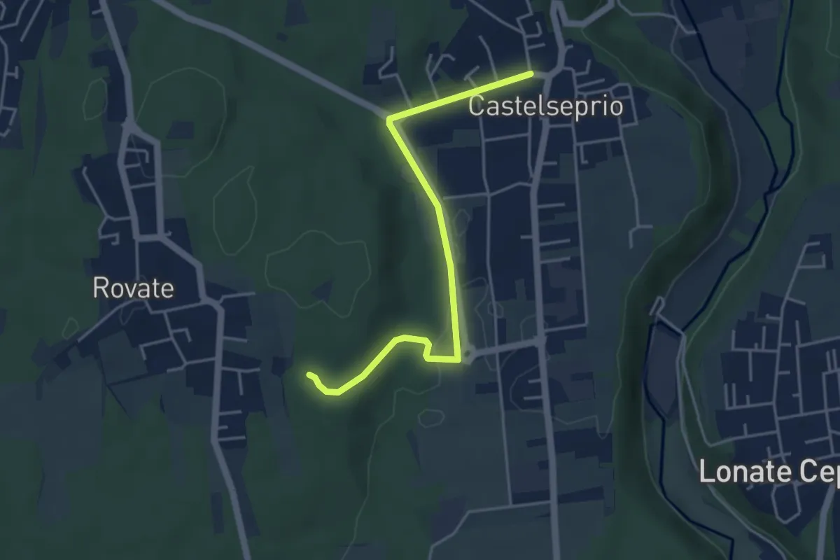
Easy · Trail
Collegamento Anello del Rile-Dorsale RTO
4.2 km · ↑ 47 m · 1 h 5 min · 12 km away
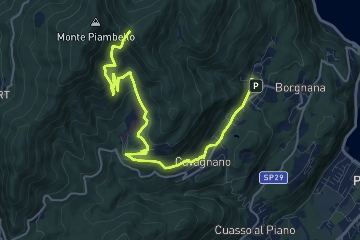
Medium · Trail
Cuasso al Monte – Bivio Bocchetta dei Frati
12.7 km · ↑ 635 m · 4 h 23 min · 12 km away
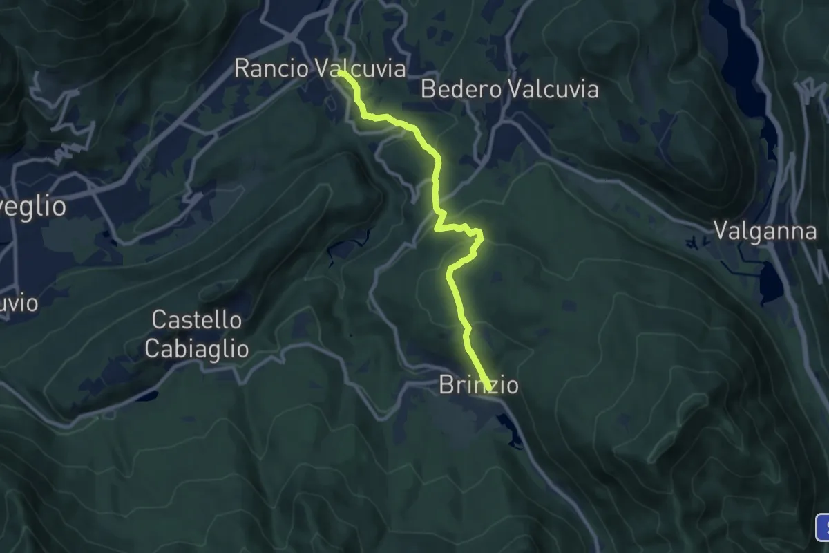
Medium · Trail
Brinzio – Rancio Valcuvia
8.6 km · ↑ 433 m · 2 h 59 min · 12 km away
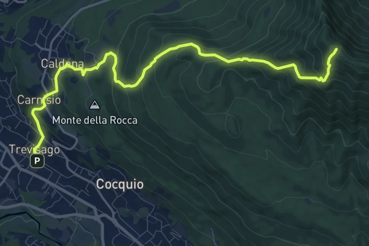
Demanding · Summit
Cocquio Trevisago – Forte di Orino
12.6 km · ↑ 832 m · 4 h 47 min · 12 km away
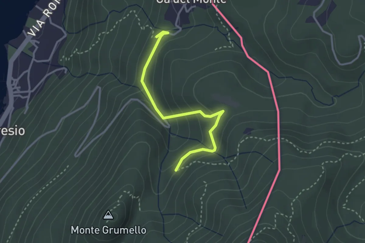
Easy · Trail
Porto Ceresio – Monte Grumello
2.9 km · ↑ 192 m · 1 h 6 min · 12 km away
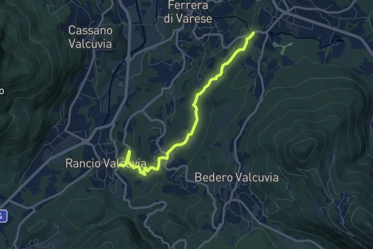
Easy · Trail
Rancio Valcuvia – Orrido di Cunardo
7.4 km · ↑ 201 m · 2 h 11 min · 12 km away
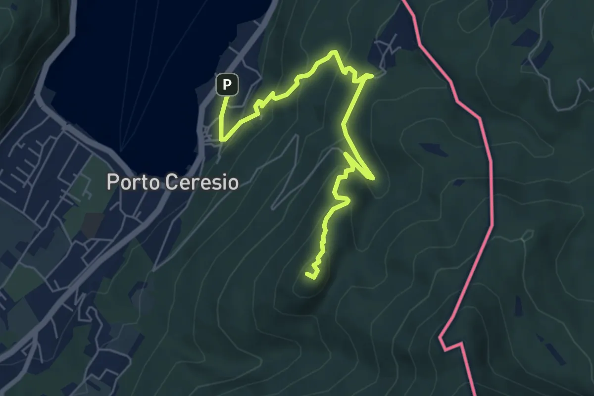
Medium · Summit
Porto Ceresio – Monte Grumello
6.3 km · ↑ 452 m · 2 h 28 min · 12 km away
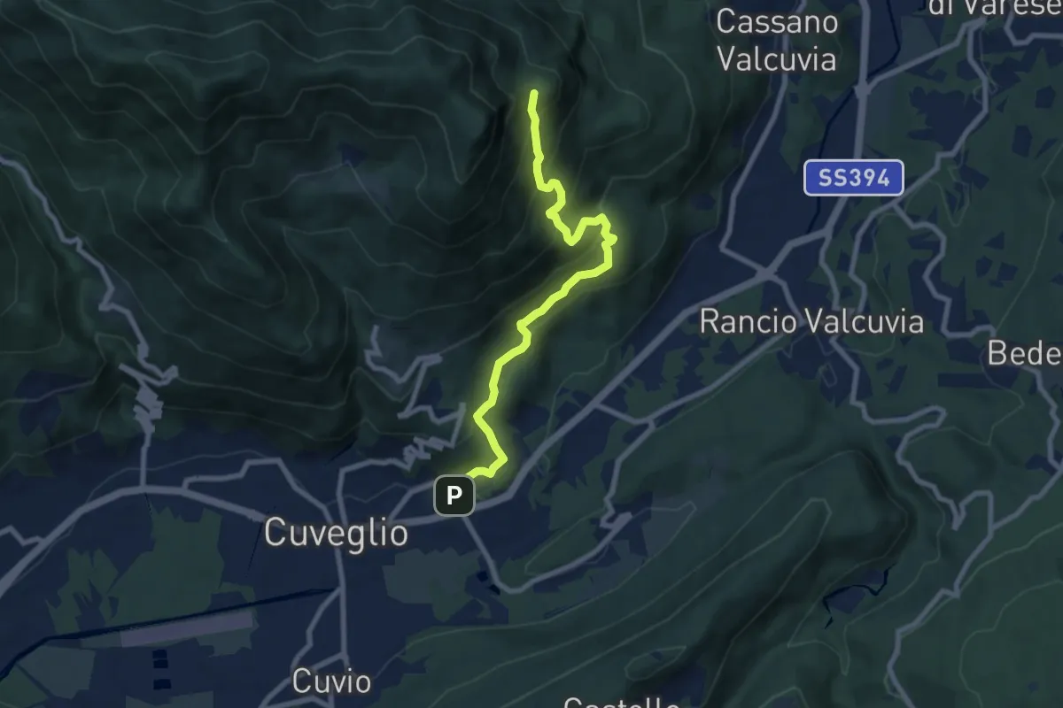
Medium · Trail
Cuveglio – Vallalta
7.9 km · ↑ 614 m · 3 h 12 min · 12 km away
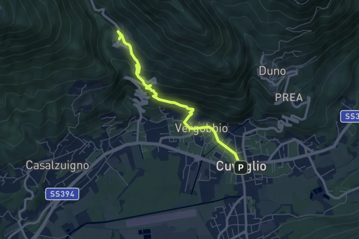
Medium · Trail
Cuveglio – Arcumeggia
5.9 km · ↑ 325 m · 2 h 6 min · 12 km away
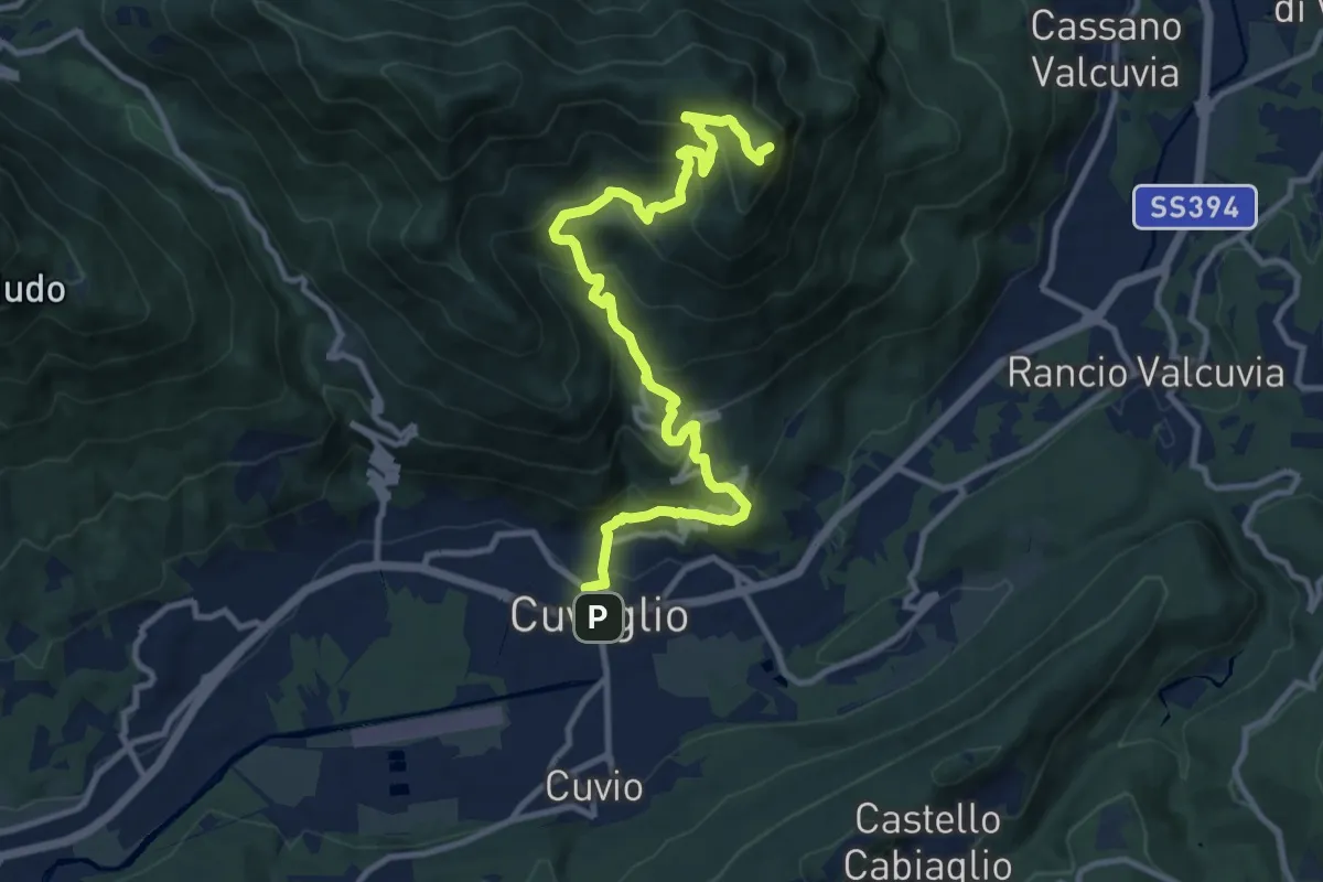
Demanding · Summit
Cuveglio – San Martino
12.5 km · ↑ 834 m · 4 h 45 min · 12 km away
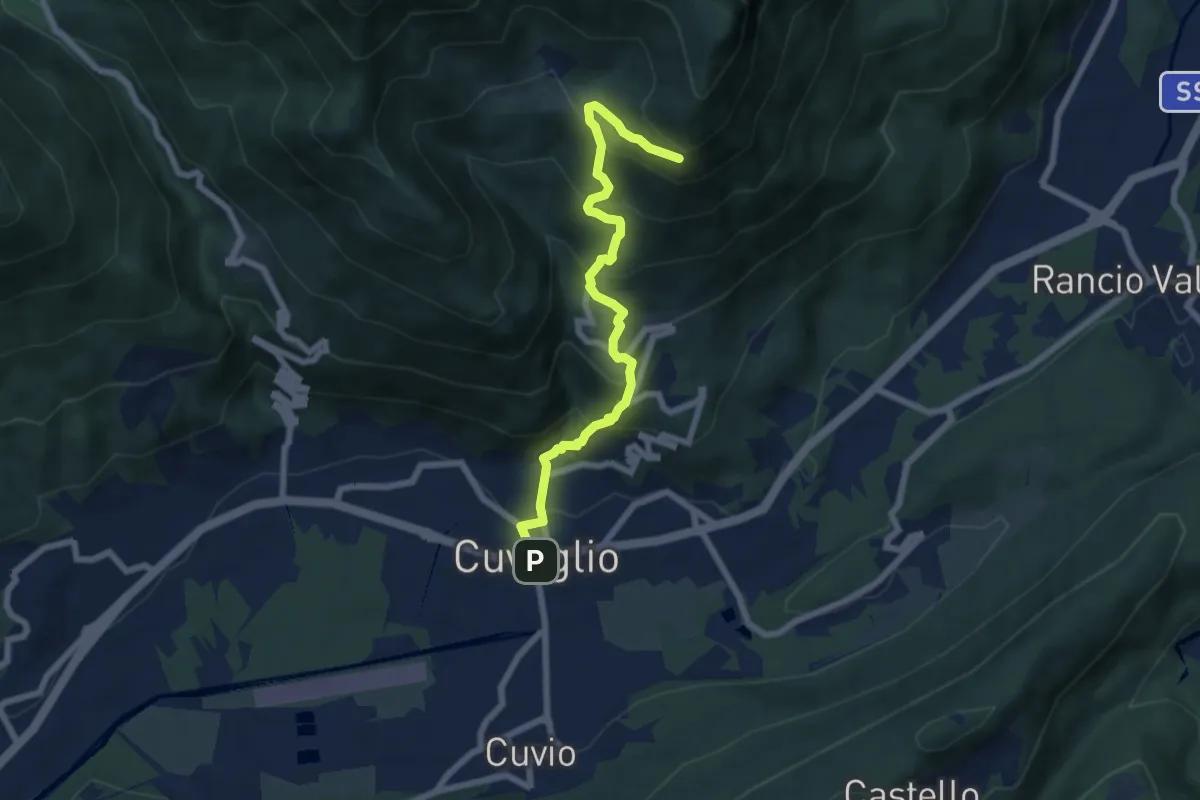
Demanding · Trail
Cuveglio – Vallalta
7.0 km · ↑ 577 m · 2 h 53 min · 12 km away
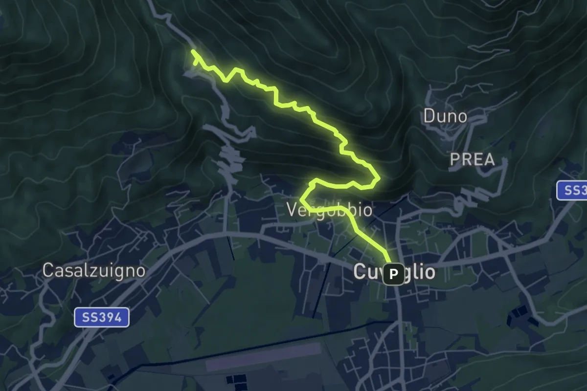
Medium · Trail
Cuveglio – Cascine-Vergobbio-Arcumeggia
7.4 km · ↑ 561 m · 2 h 58 min · 12 km away
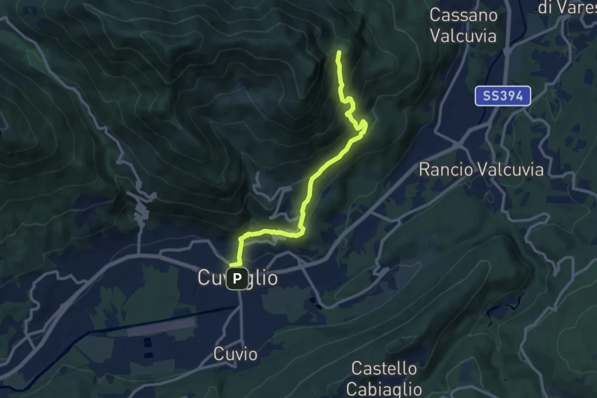
Medium · Trail
Cuveglio – Vallalta
8.7 km · ↑ 612 m · 3 h 23 min · 12 km away
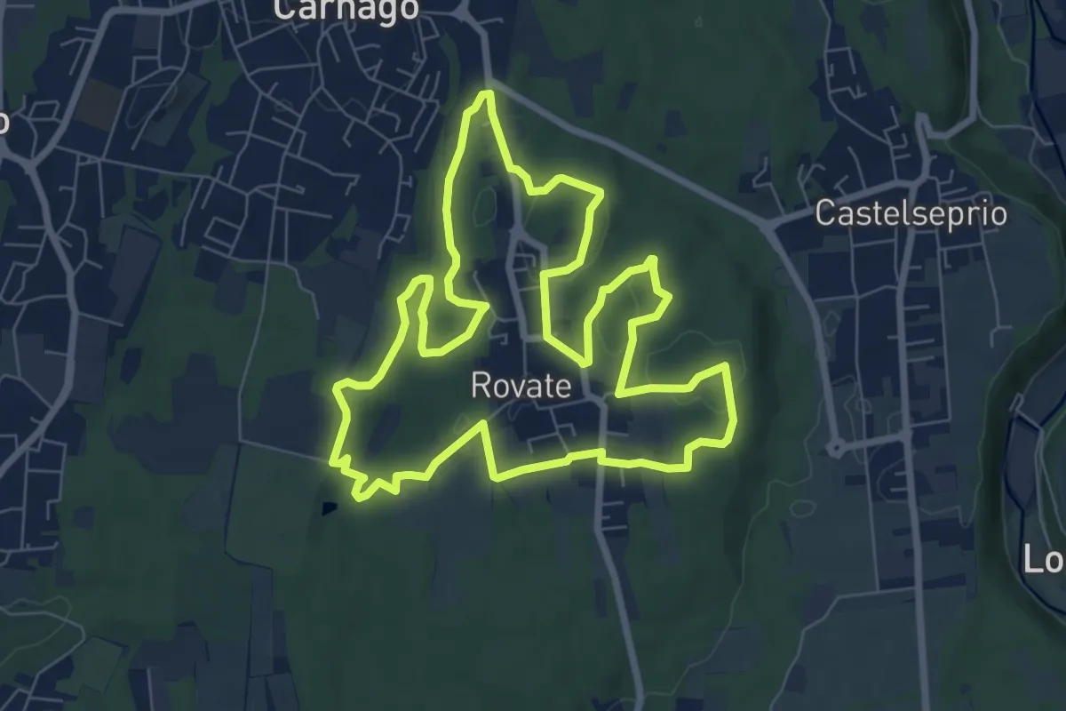
Easy · Trail
523 Anello del Rile
7.9 km · ↑ 100 m · 2 h 12 min · 12 km away
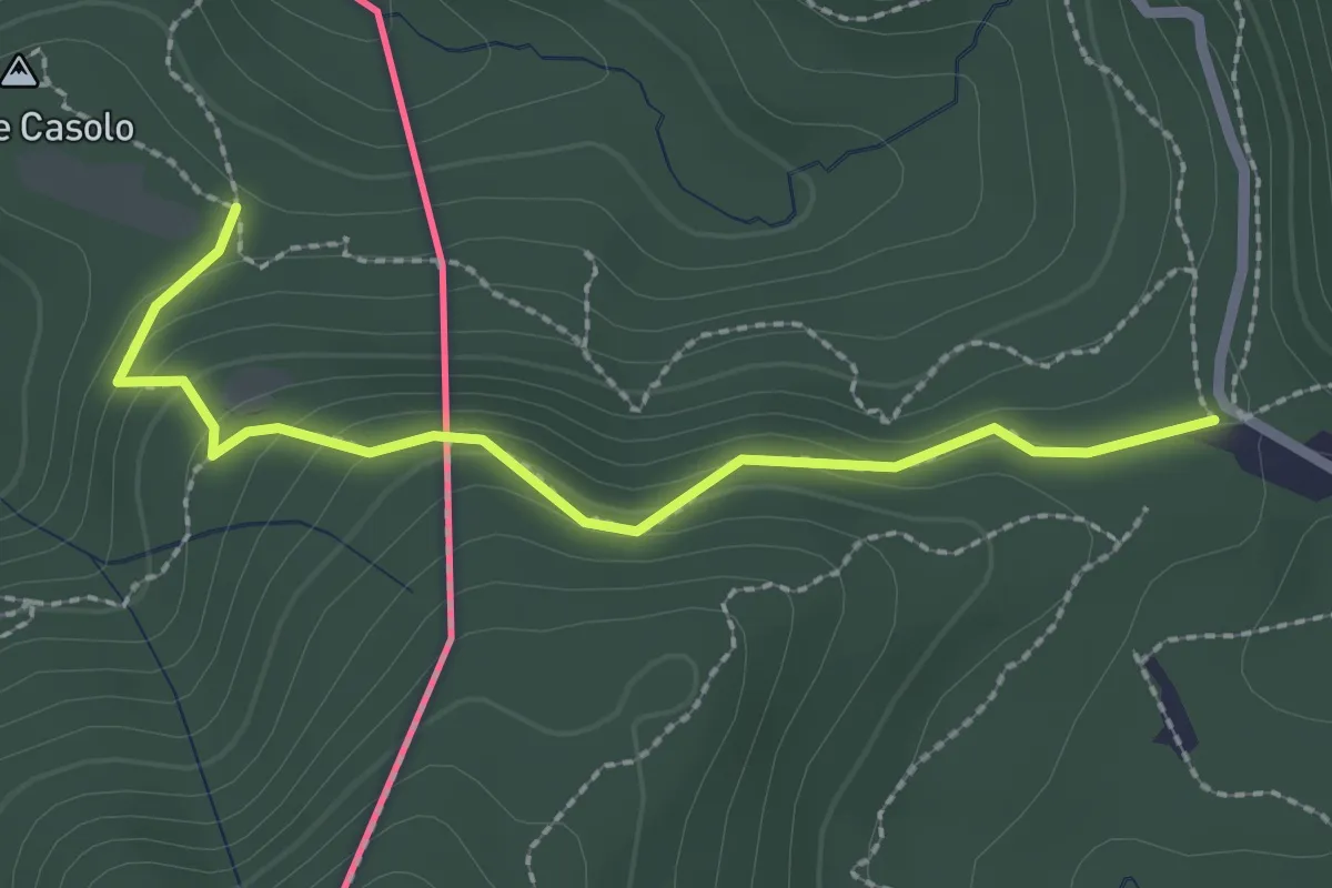
Medium · Trail
Crossifico - Monte Casolo (I) ? / Porto Ceresio (I) ? - fixme
2.5 km · ↑ 122 m · 51 min · 12 km away
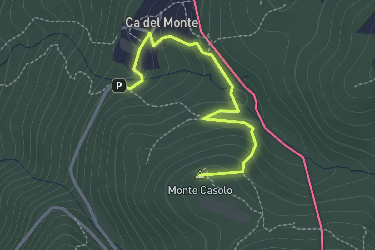
Easy · Summit
Variante Ca' del Monte – Innesto su 461A
2.4 km · ↑ 120 m · 50 min · 12 km away
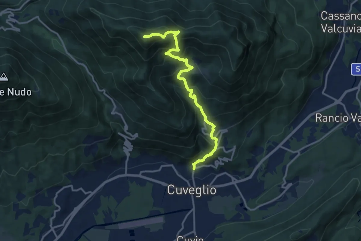
Demanding · Summit
Direttissima Monte della Colonna
9.5 km · ↑ 910 m · 4 h 13 min · 12 km away