Trails near Varese
231 hikes starting within 15 km, nearest first.
Nearest first, page 4 of 5
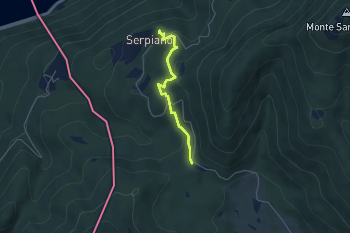
Medium · Trail
Crocifisso – Serpiano
3.2 km · ↑ 156 m · 1 h 6 min · 13 km away
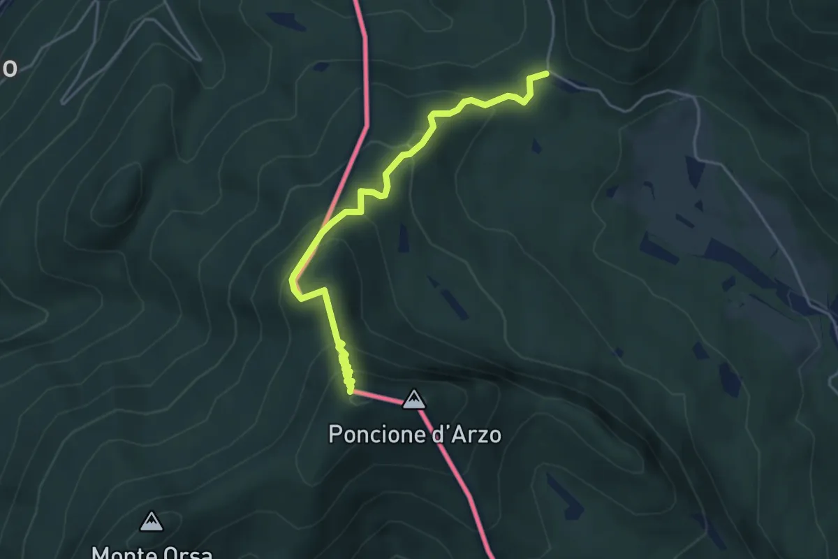
Medium · Summit
Crocifisso – Poncione d'Arzo
4.3 km · ↑ 320 m · 1 h 43 min · 13 km away
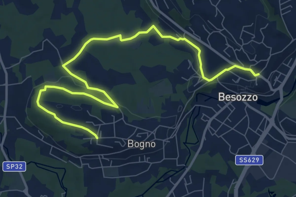
Medium · Trail
Anello di Besozzo - Bogno/Besozzo
9.7 km · ↑ 172 m · 2 h 39 min · 13 km away
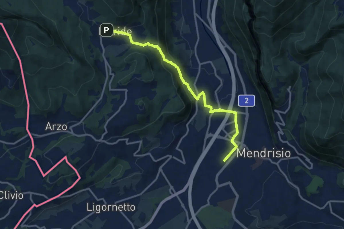
Medium · Trail
Meride – Mendrisio Stazione
8.9 km · ↑ 326 m · 2 h 48 min · 13 km away
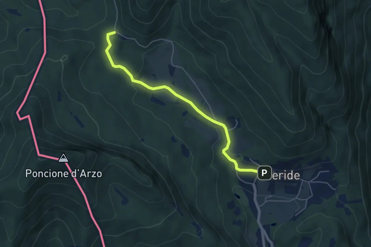
Easy · Trail
Crocifisso – Meride
4.8 km · ↑ 121 m · 1 h 23 min · 13 km away
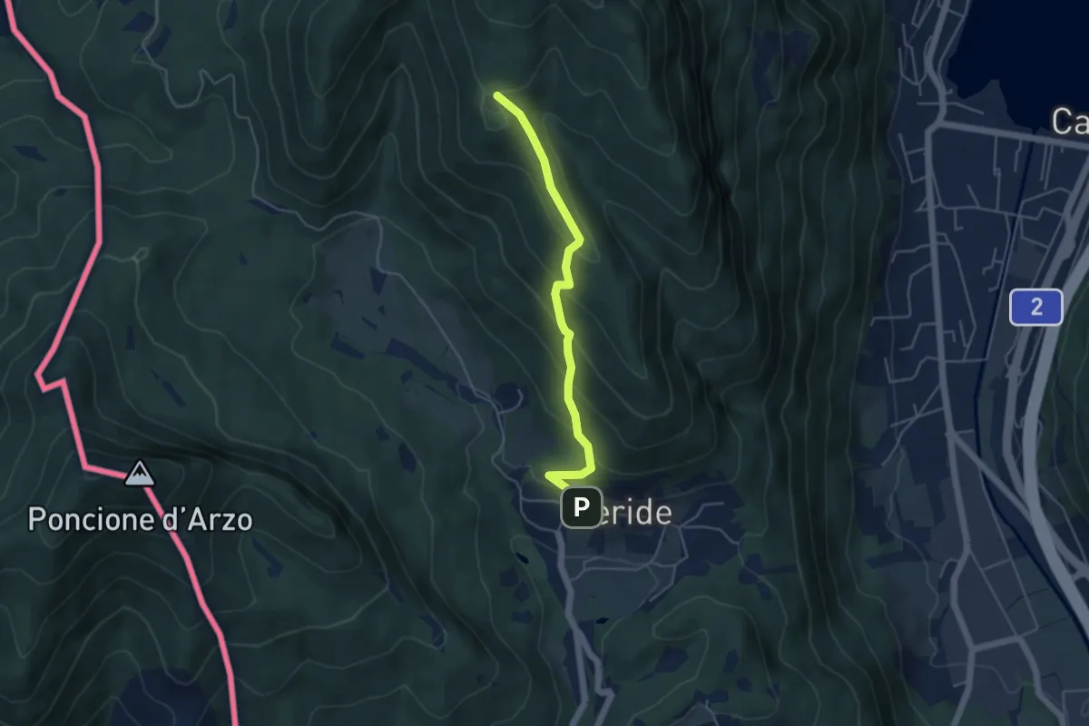
Easy · Trail
Meride – Cassina
4.6 km · ↑ 309 m · 1 h 45 min · 13 km away
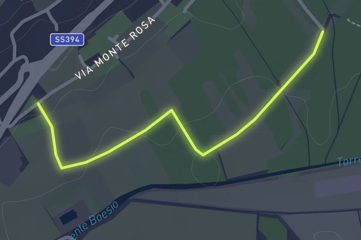
Easy · Trail
Raccordo 302 – Raccordo 302C
2.3 km · ↑ 21 m · 35 min · 13 km away
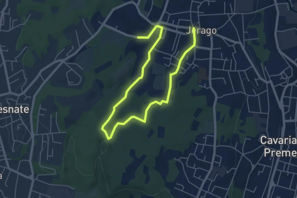
Easy · Trail
Piane Viscontee - Anello di Jerago
6.8 km · ↑ 65 m · 1 h 45 min · 13 km away
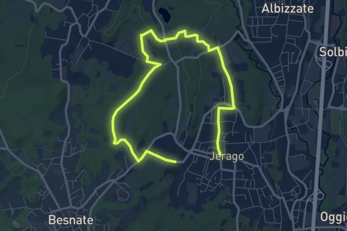
Medium · Trail
Piane Viscontee - Anello di Jerago
11.3 km · ↑ 87 m · 2 h 51 min · 13 km away
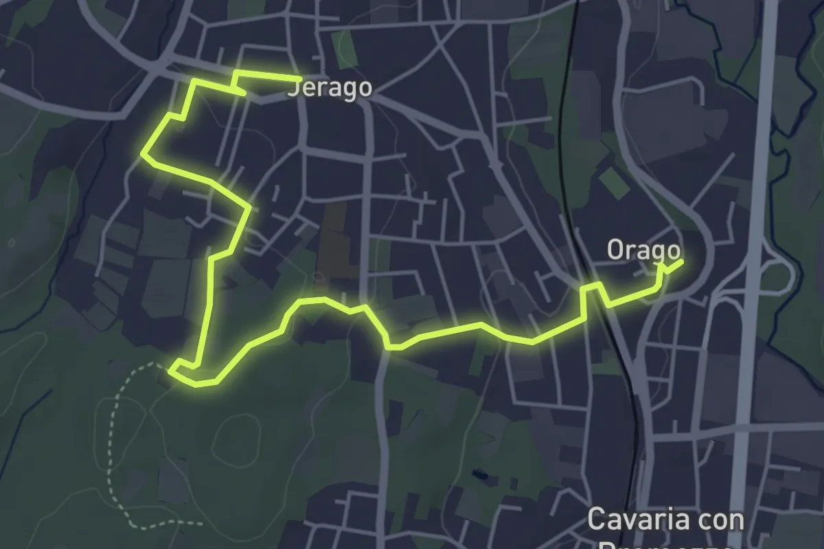
Easy · Trail
DID - Anello di Jerago
6.5 km · ↑ 54 m · 1 h 38 min · 13 km away
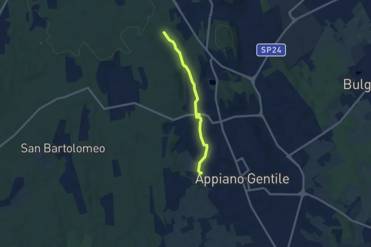
Easy · Trail
Sentiero 846C
4.9 km · ↑ 81 m · 1 h 20 min · 13 km away
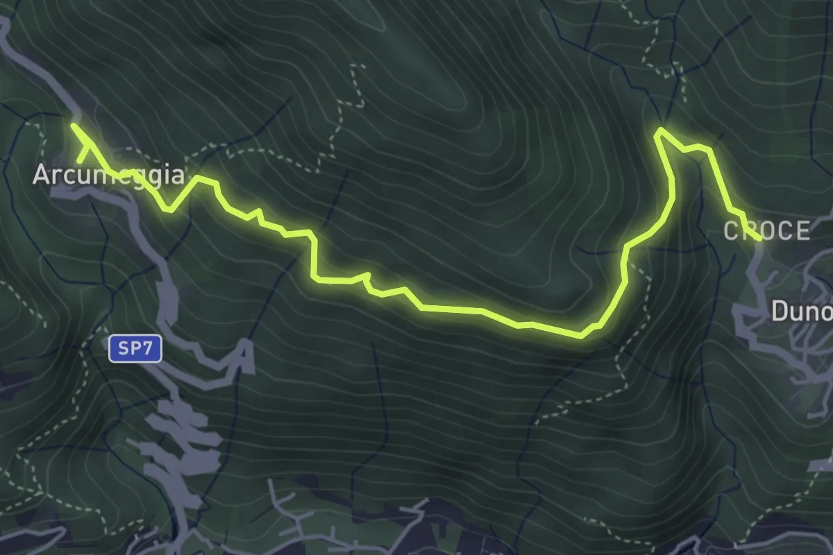
Medium · Trail
Arcumeggia – Duno
5.4 km · ↑ 366 m · 2 h 5 min · 13 km away
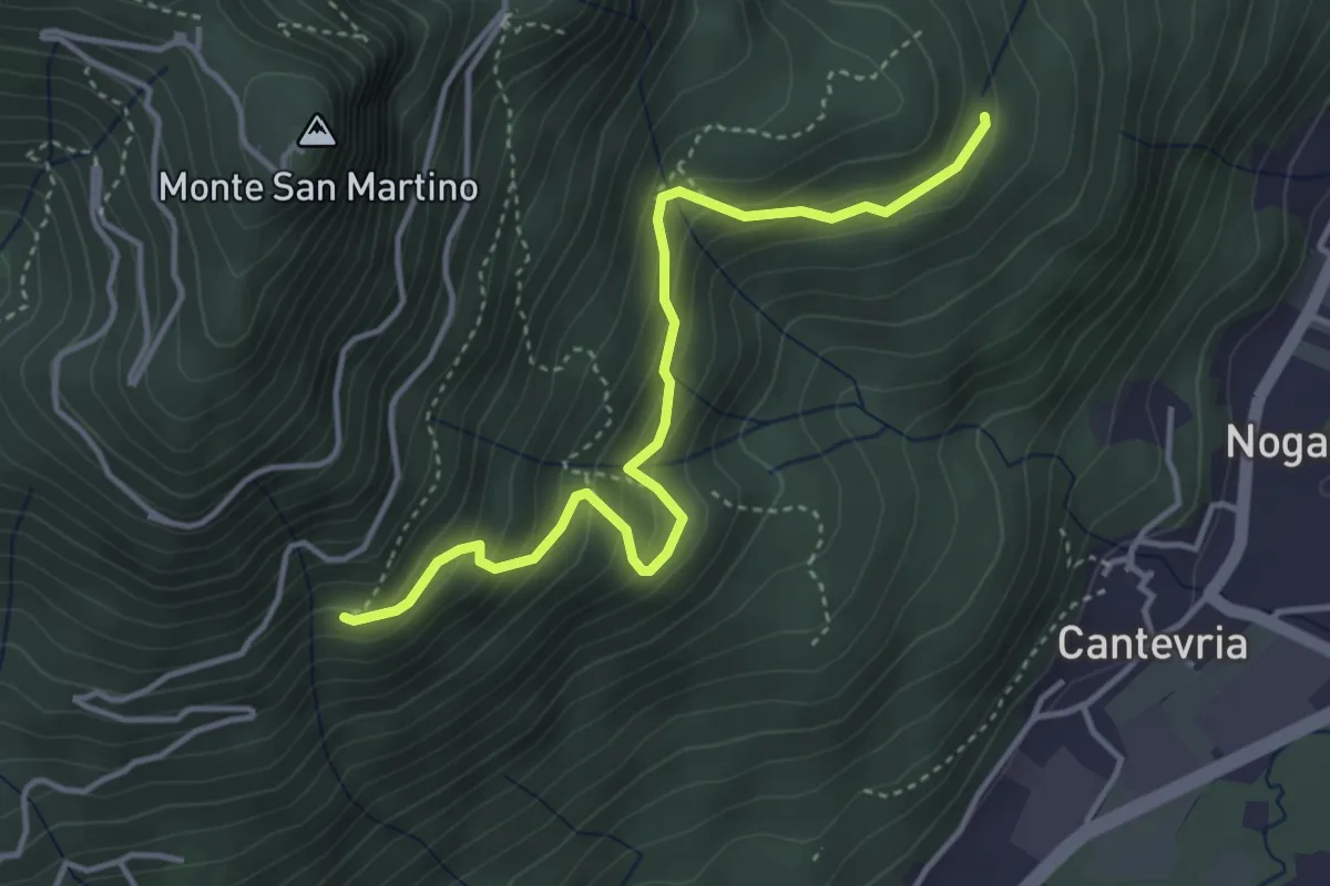
Medium · Trail
Collegamento 263 – Collegamento 264B
4.0 km · ↑ 369 m · 1 h 45 min · 13 km away
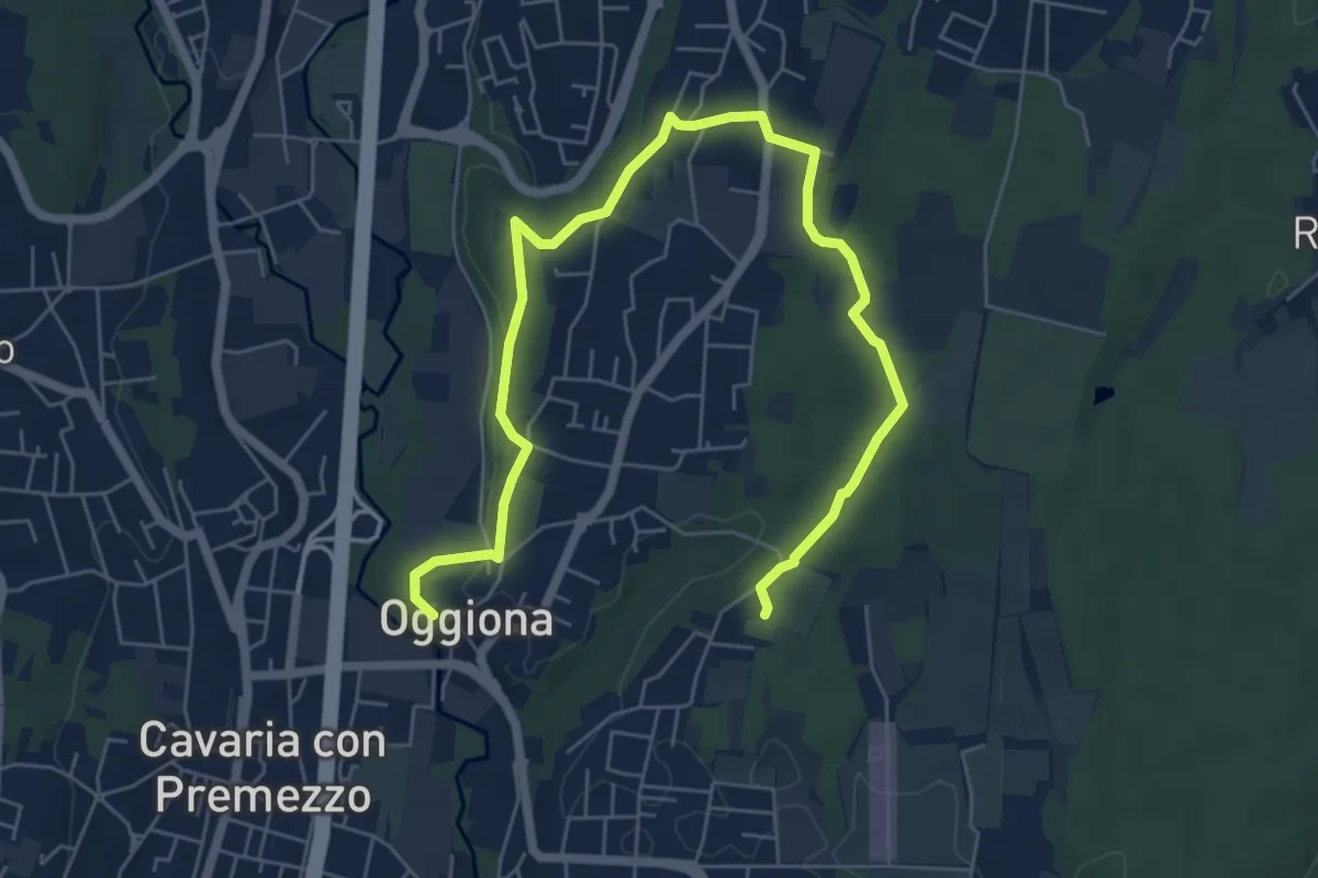
Medium · Trail
Percorsi del Cuore - Anello di Oggiona Santo Stefano
8.2 km · ↑ 118 m · 2 h 11 min · 13 km away
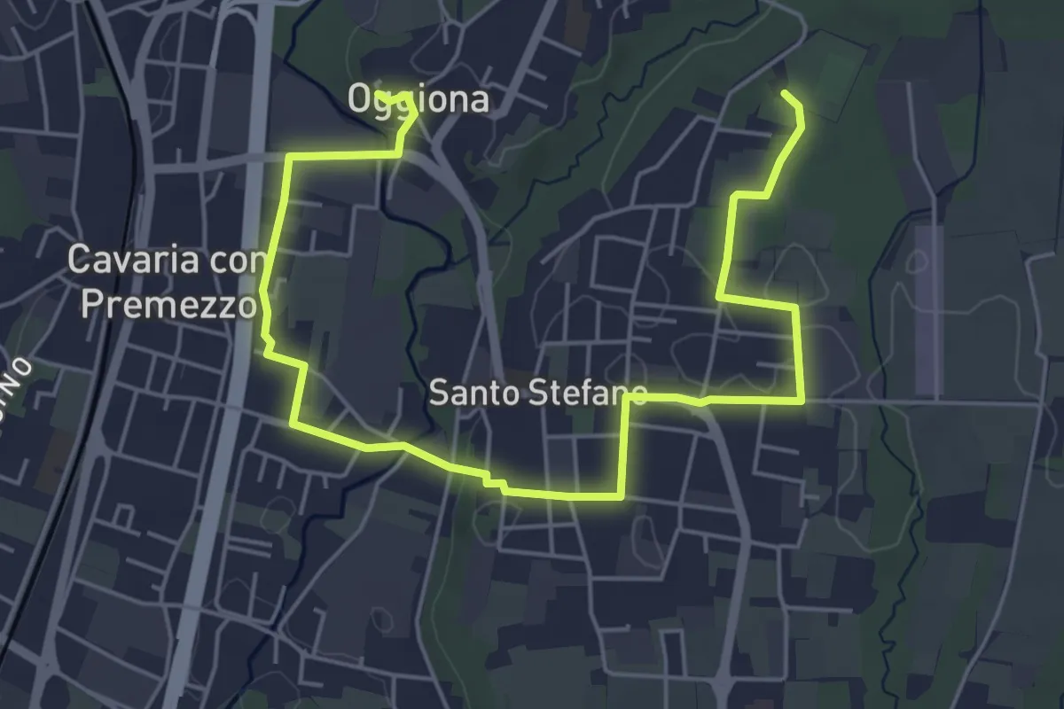
Easy · Trail
Percorsi del Cuore - Anello di Oggiona Santo Stefano
7.1 km · ↑ 68 m · 1 h 50 min · 13 km away
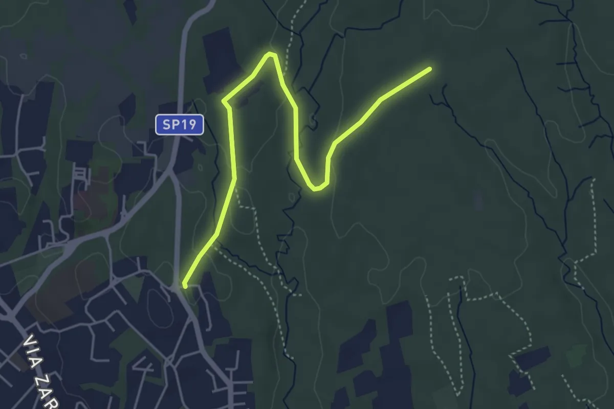
Easy · Trail
Appiano Gentile – Tradate
5.0 km · ↑ 70 m · 1 h 20 min · 13 km away
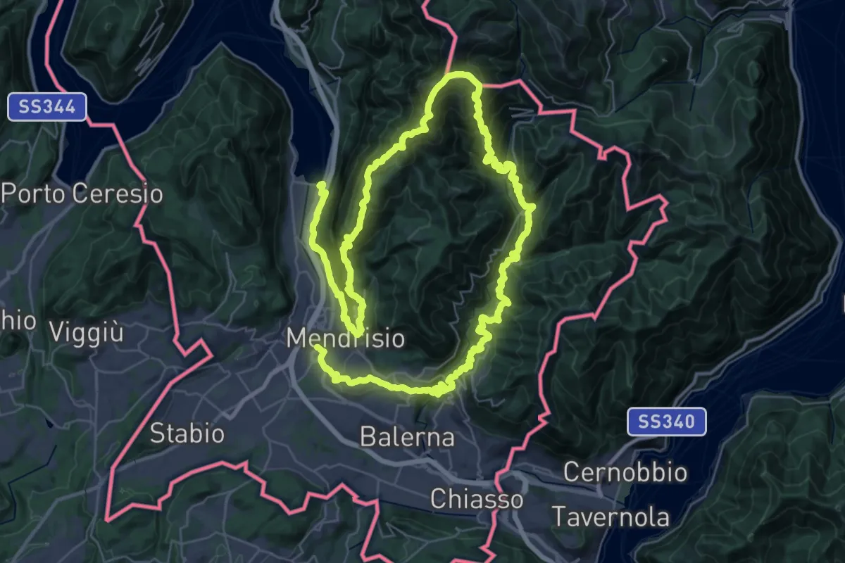
Demanding · Trail
Sentiero Lago di Lugano
32.4 km · ↑ 2076 m · 12 h 38 min · 13 km away
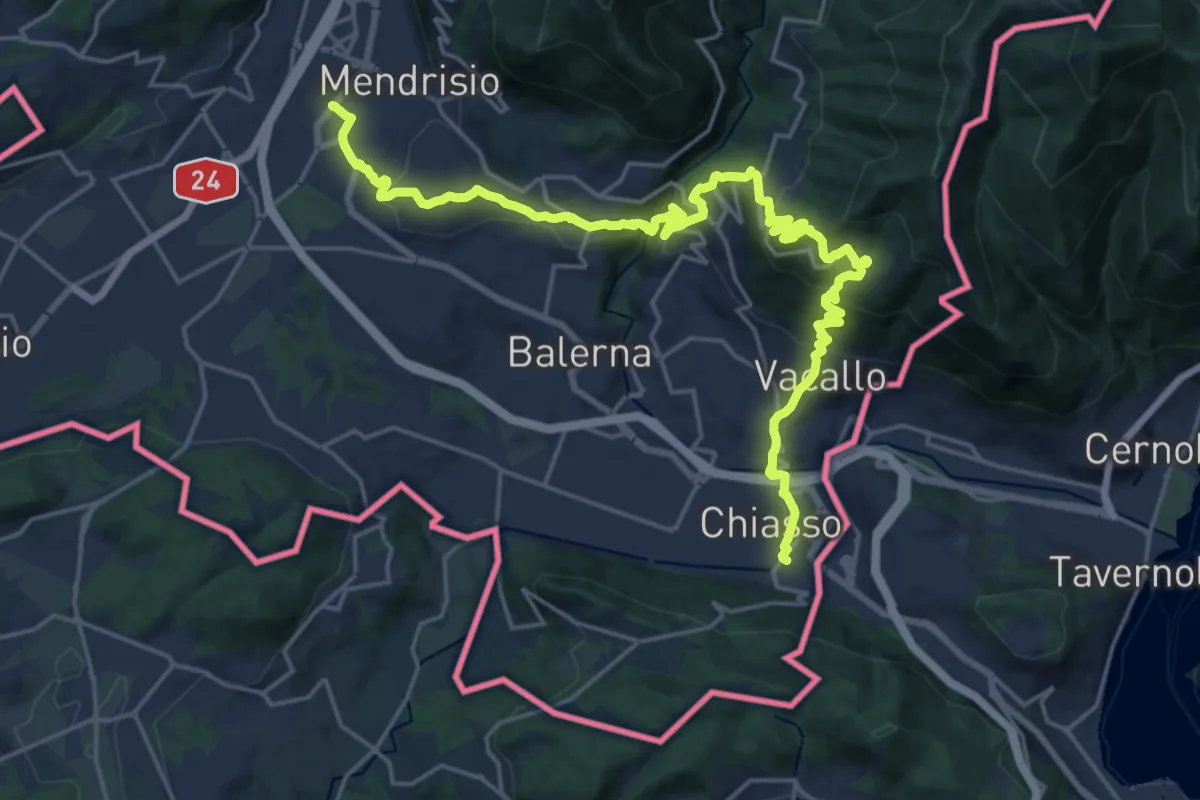
Medium · Trail
ViaGottardo
12.7 km · ↑ 559 m · 4 h 26 min · 13 km away
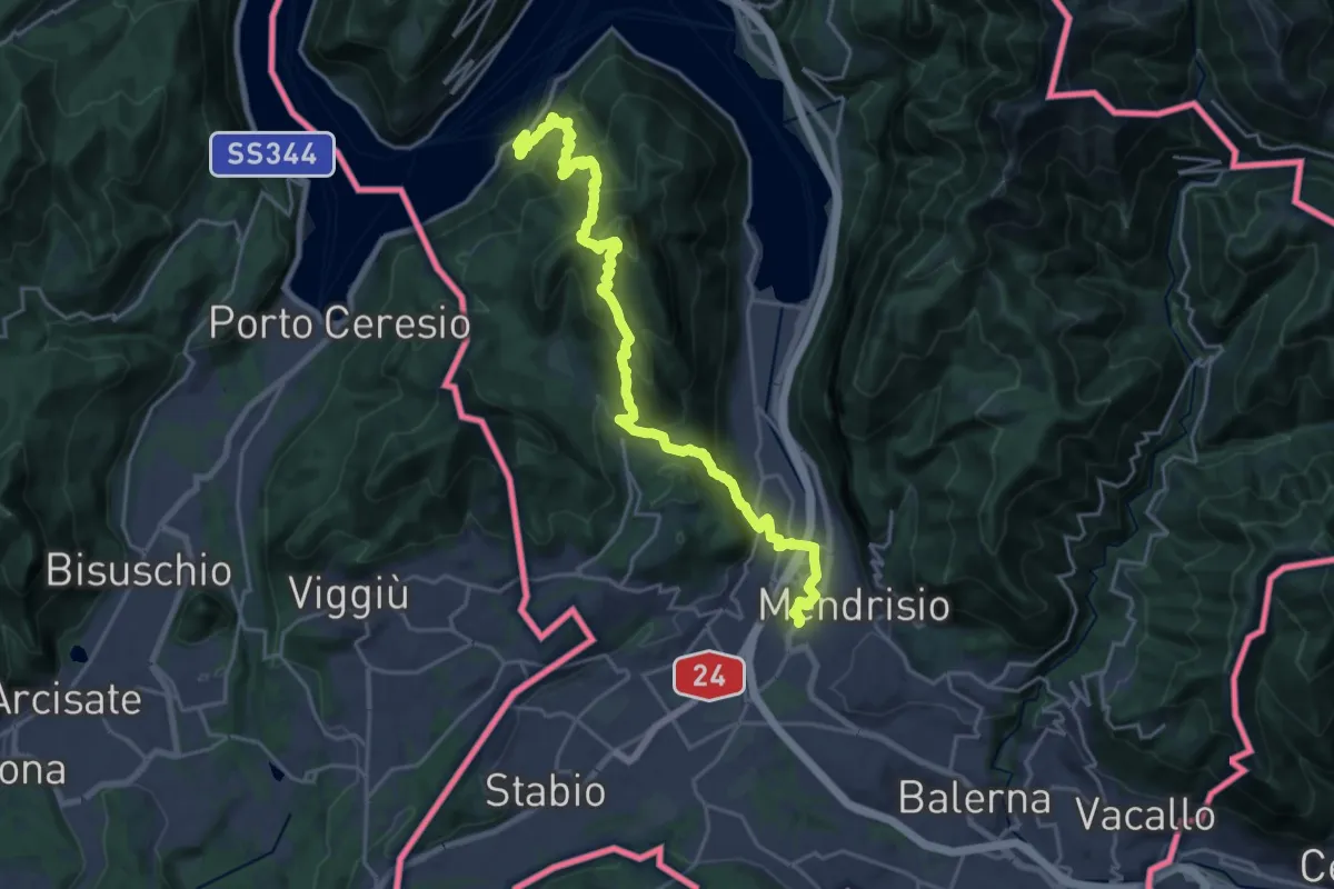
Demanding · Trail
Trans Swiss Trail
12.0 km · ↑ 809 m · 4 h 47 min · 13 km away
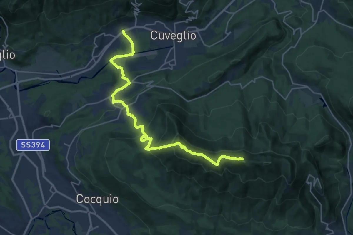
Demanding · Summit
Via Verde Varesina Tappa 3
20.6 km · ↑ 1094 m · 7 h 14 min · 13 km away
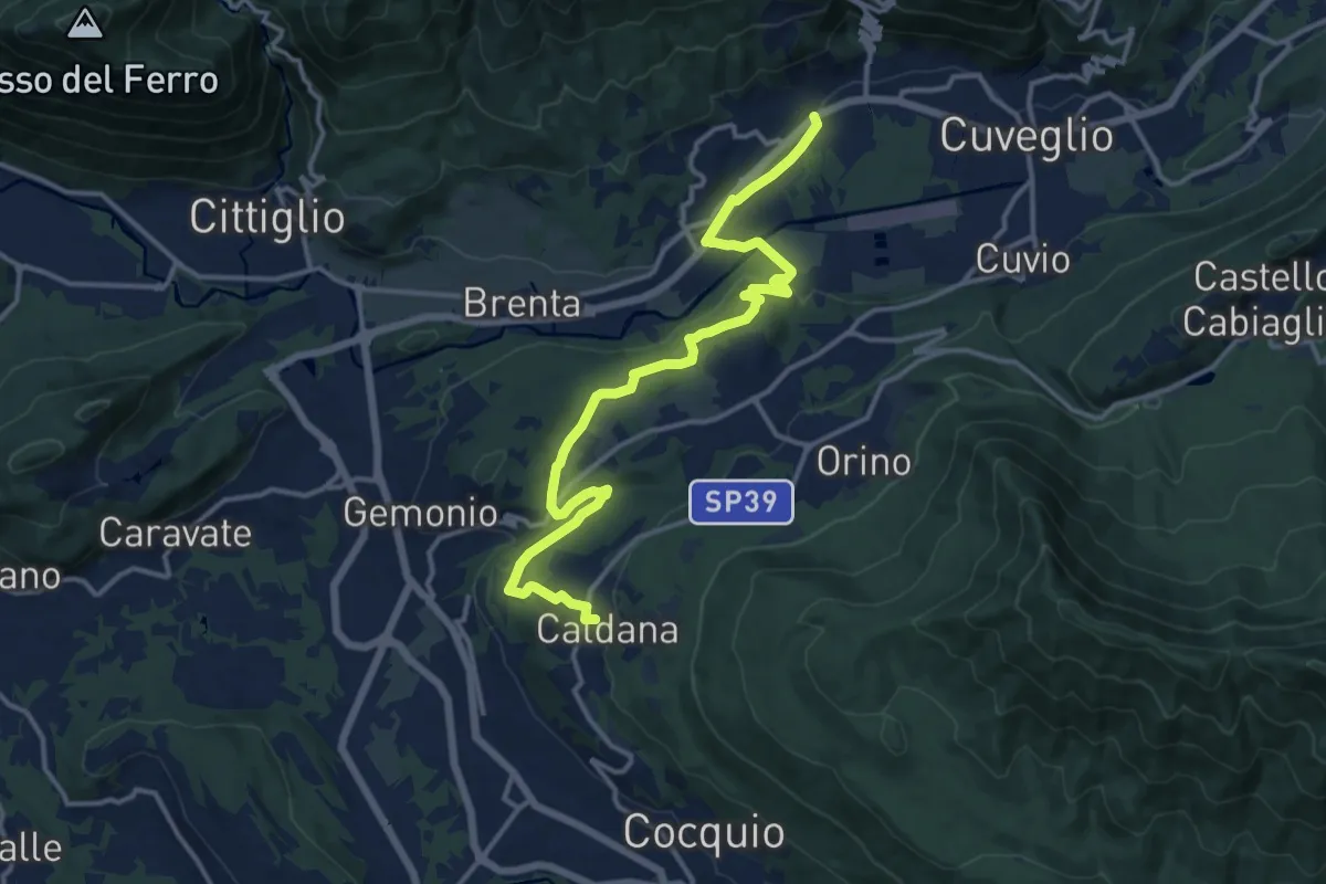
Medium · Trail
Villa Bozzolo – Caldana
15.6 km · ↑ 281 m · 4 h 17 min · 13 km away
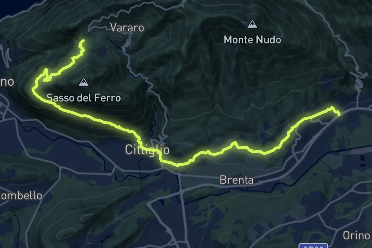
Demanding · Trail
Casalzuigno – Cittiglio-Vararo
21.0 km · ↑ 1143 m · 7 h 26 min · 13 km away
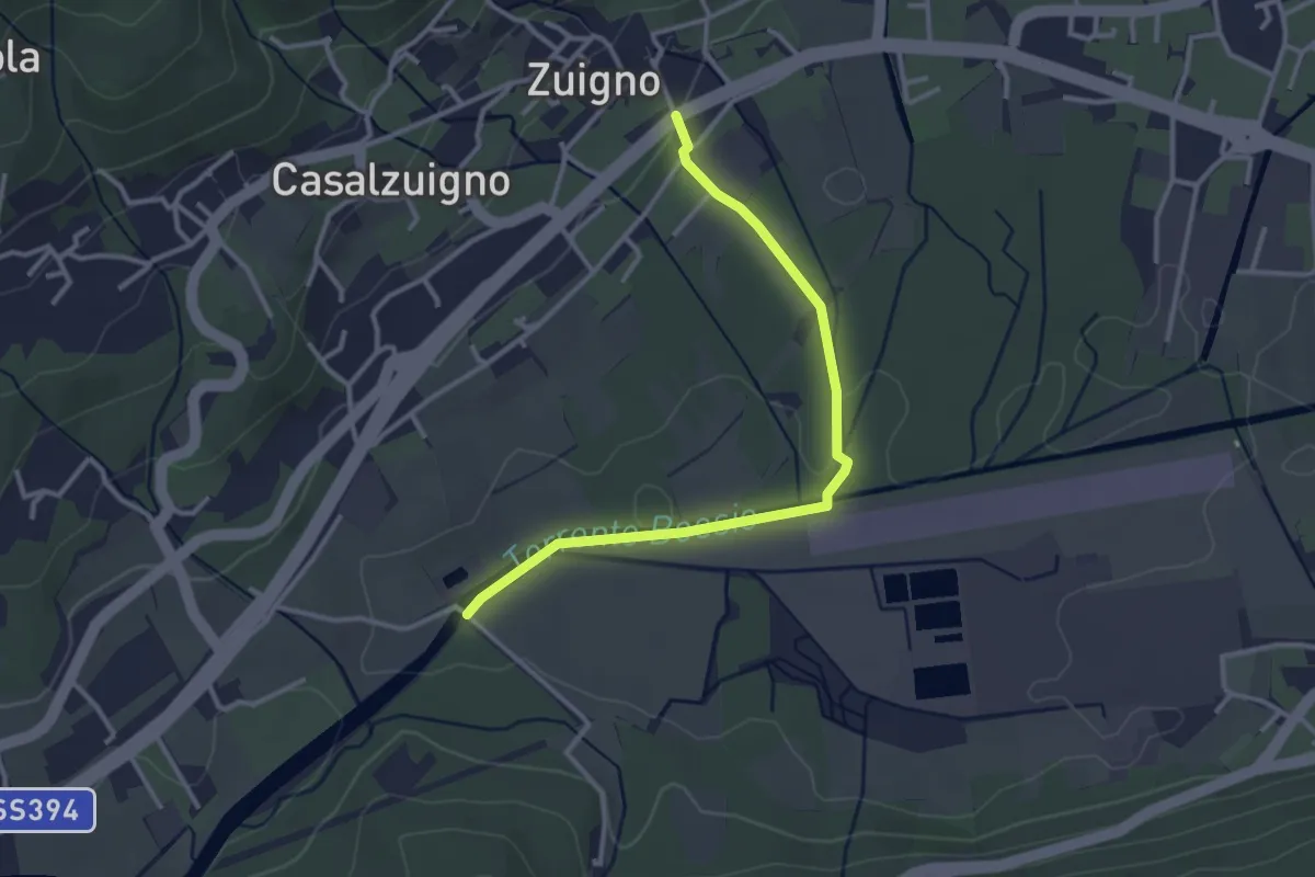
Easy · Trail
Casalzuigno – Località Prada
3.2 km · ↑ 27 m · 49 min · 13 km away
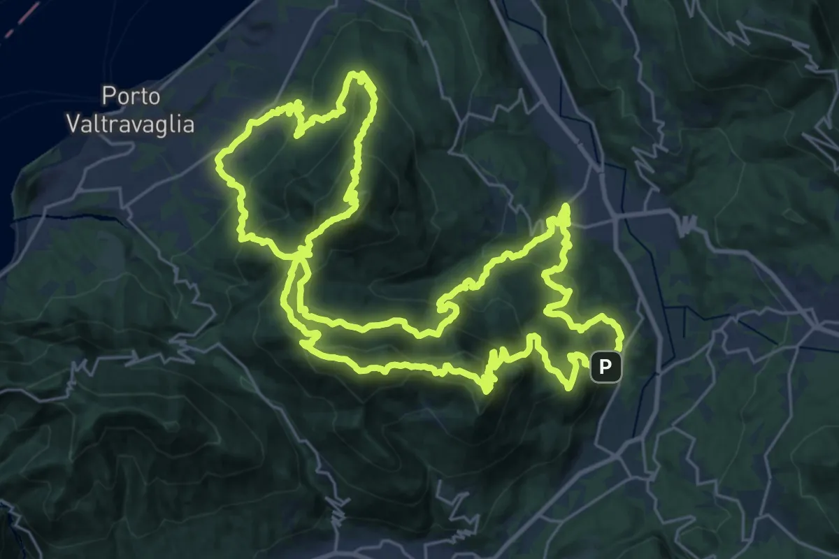
Demanding · Summit
Valli del Verbano Trail
32.3 km · ↑ 2314 m · 13 h 3 min · 13 km away
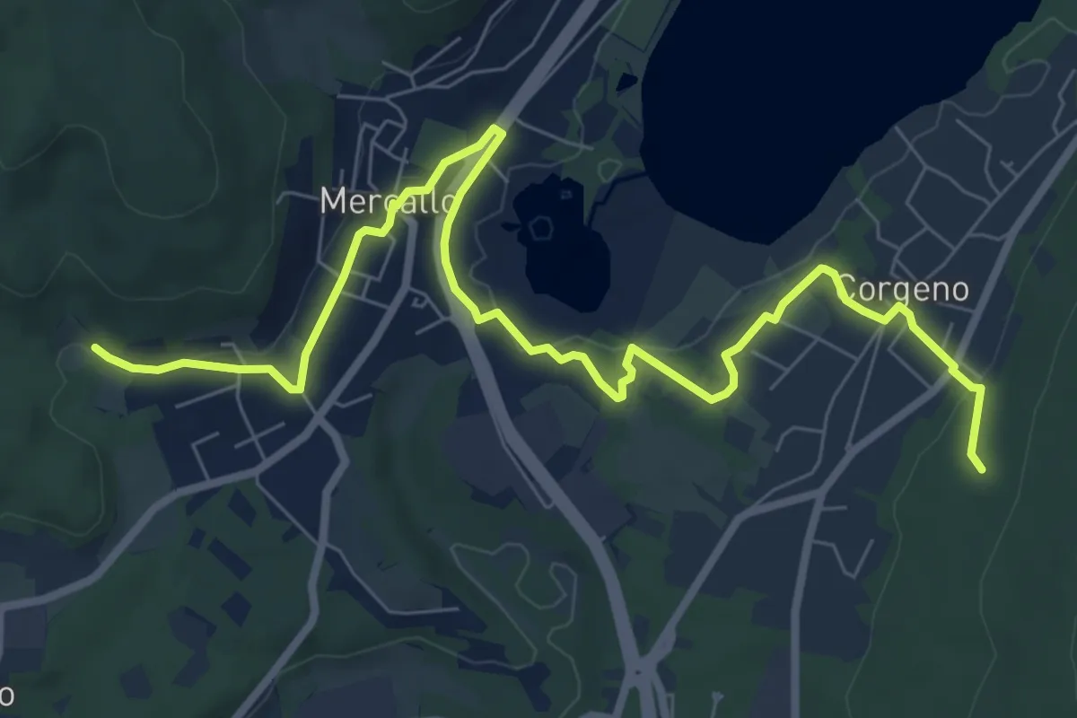
Medium · Trail
Collegamento Sentiero San Giacomo - Sentiero Monte Pelada
9.5 km · ↑ 183 m · 2 h 39 min · 13 km away
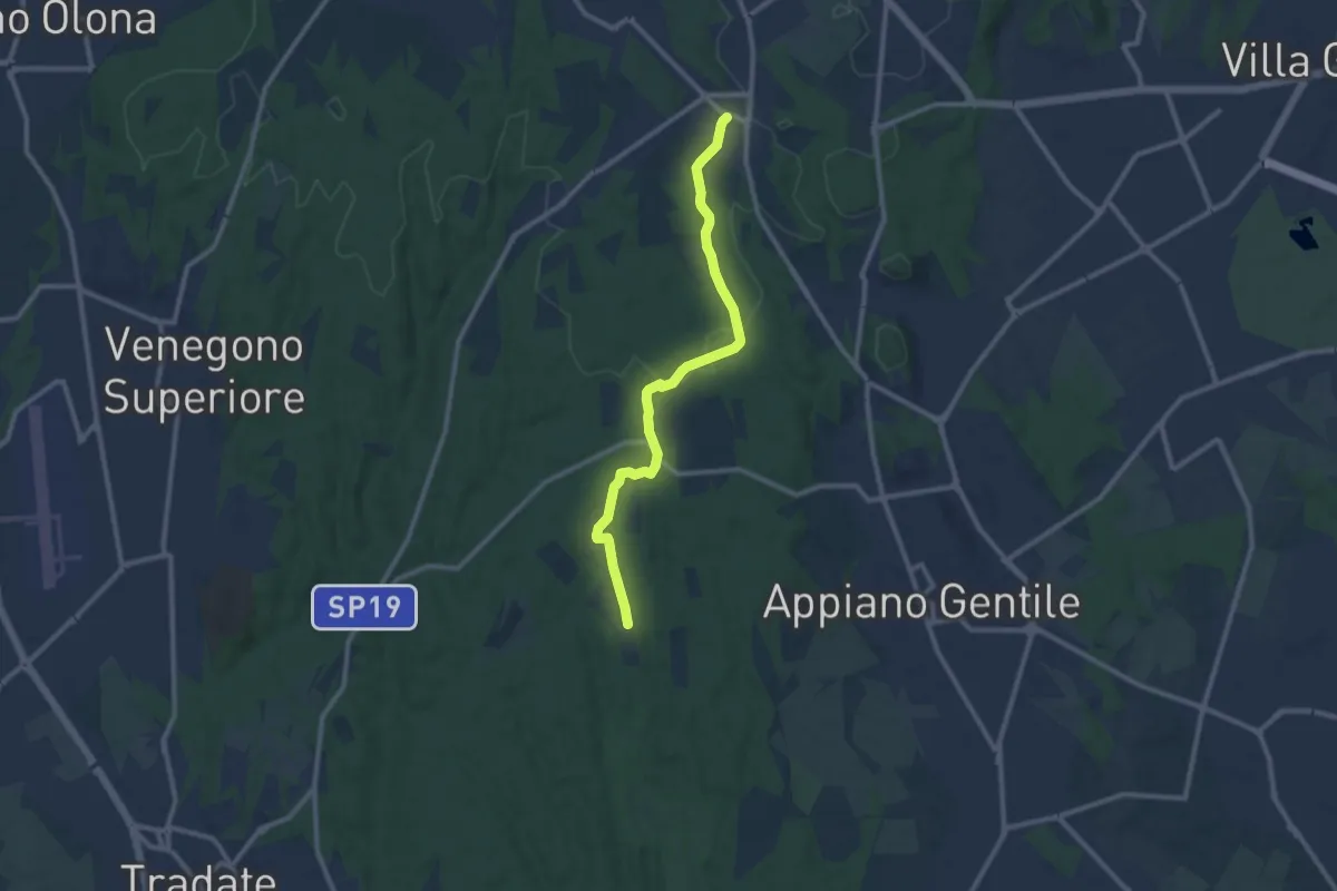
Medium · Trail
Sentiero 847
10.4 km · ↑ 81 m · 2 h 38 min · 13 km away
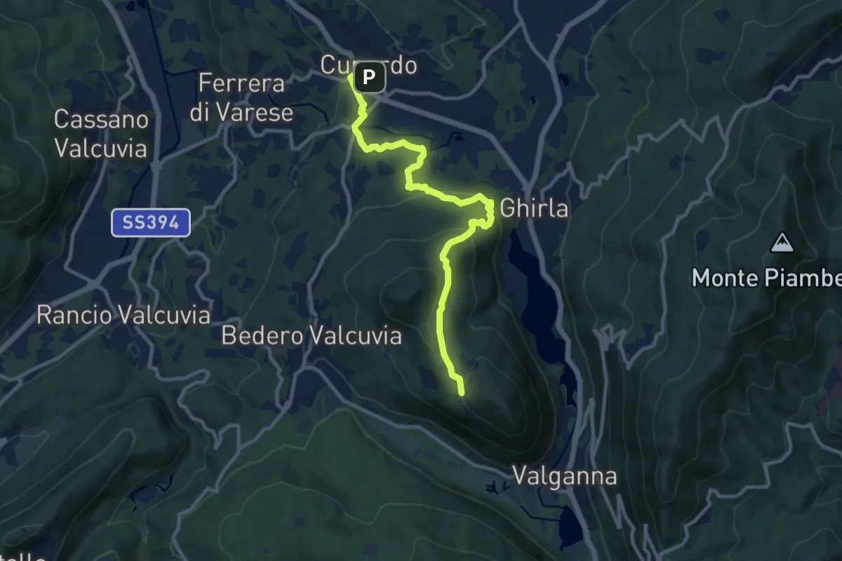
Medium · Trail
Cunardo – Mondonico
10.6 km · ↑ 412 m · 3 h 24 min · 13 km away
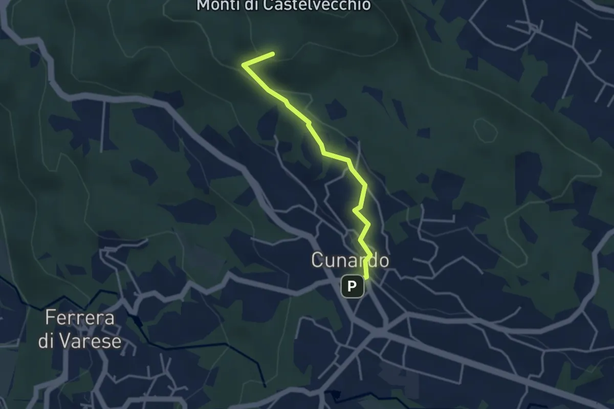
Medium · Summit
Cugliate Fabiasco – Cunardo
3.1 km · ↑ 120 m · 59 min · 13 km away
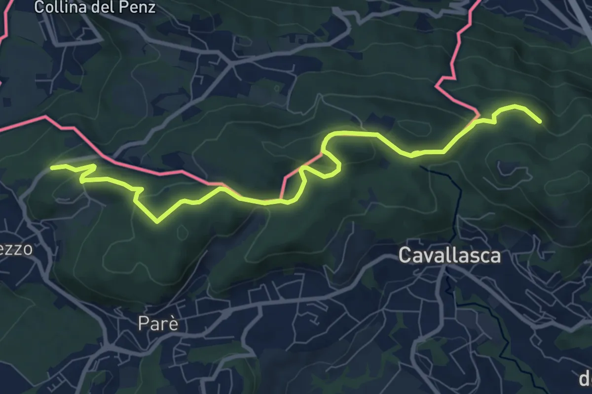
Medium · Trail
Confinale
9.1 km · ↑ 322 m · 2 h 50 min · 13 km away
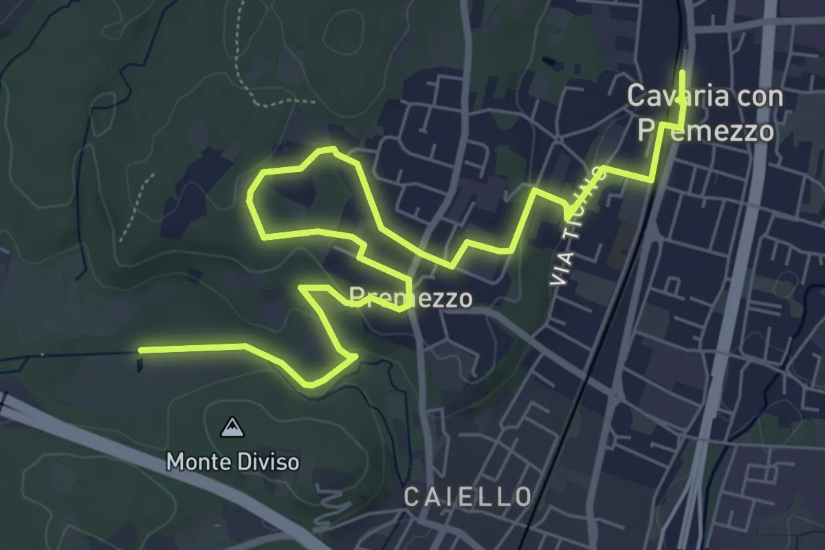
Medium · Trail
DID Anello di Cavaria
8.8 km · ↑ 98 m · 2 h 17 min · 13 km away
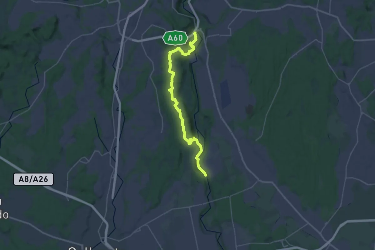
Demanding · Trail
Dorsale Rile-Tenore-Olona
26.4 km · ↑ 426 m · 7 h 9 min · 14 km away
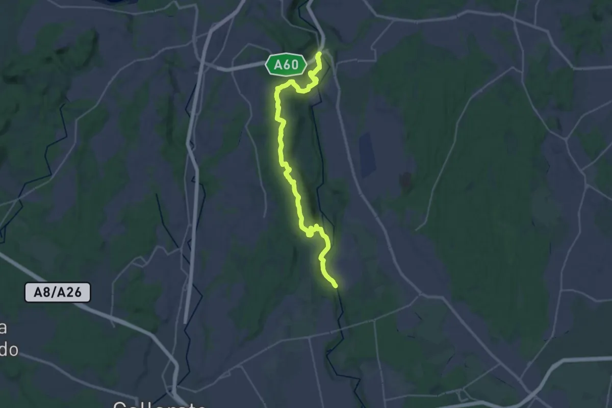
Demanding · Trail
520 Dorsale RTO
25.9 km · ↑ 425 m · 7 h 2 min · 14 km away
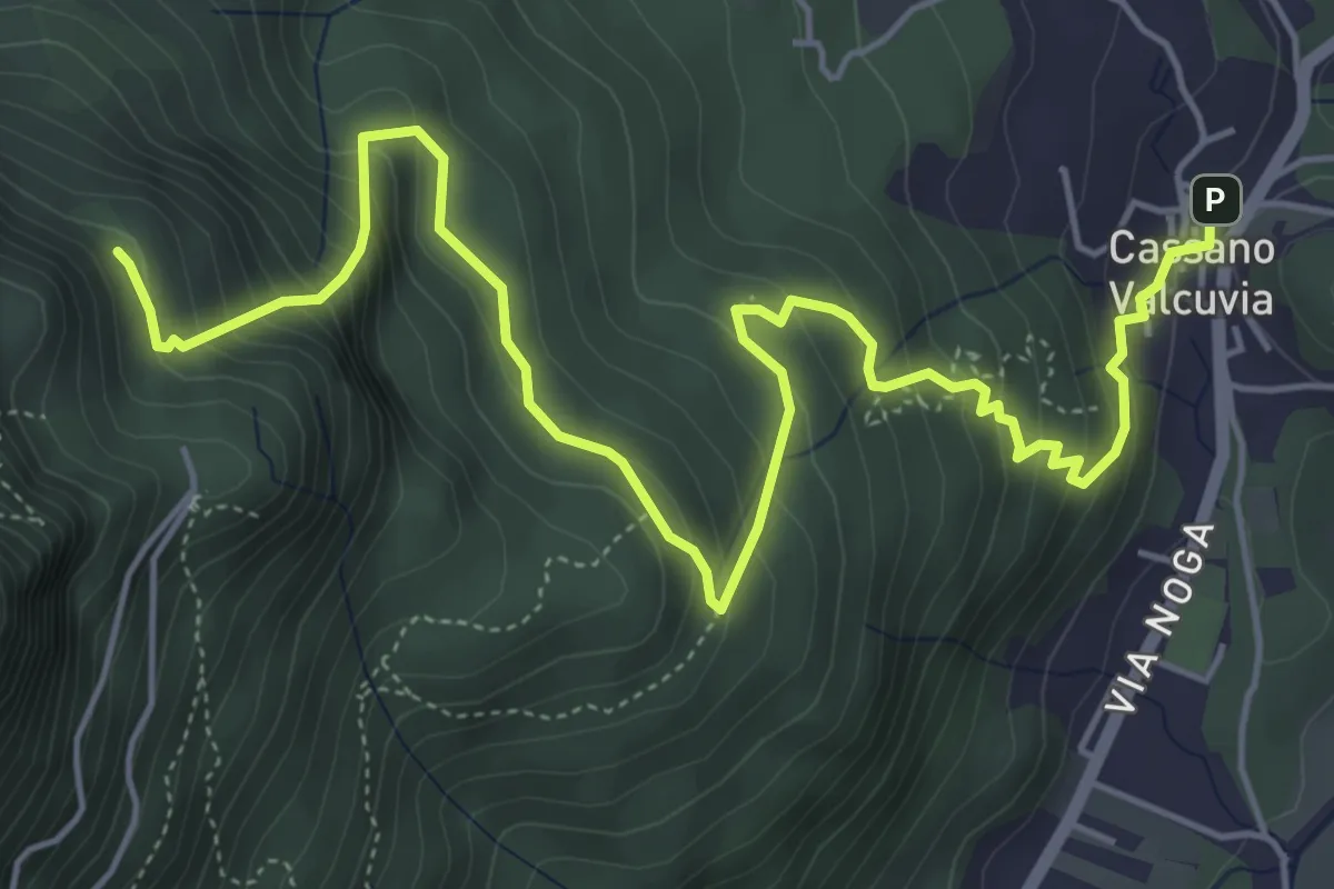
Medium · Trail
Cassano Valcuvia – Vallalta
7.2 km · ↑ 580 m · 2 h 57 min · 14 km away
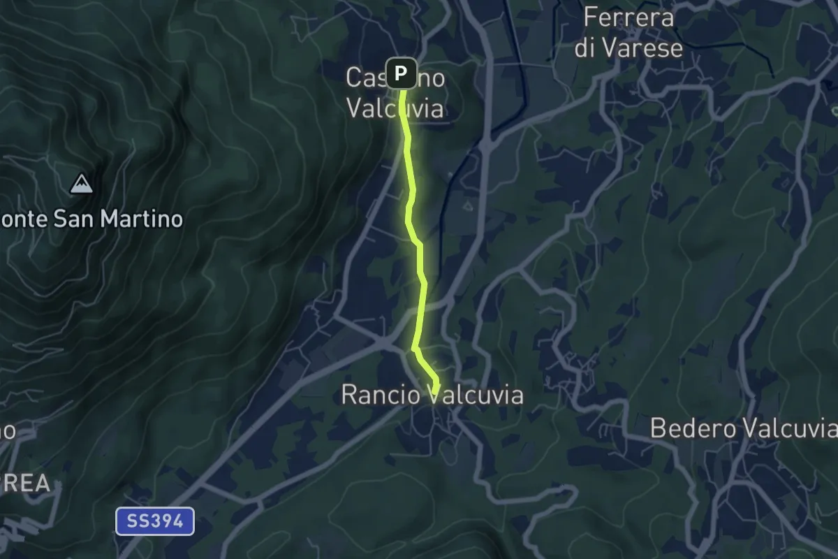
Easy · Trail
Cassano Valcuvia – Rancio Valcuvia
3.9 km · ↑ 82 m · 1 h 6 min · 14 km away
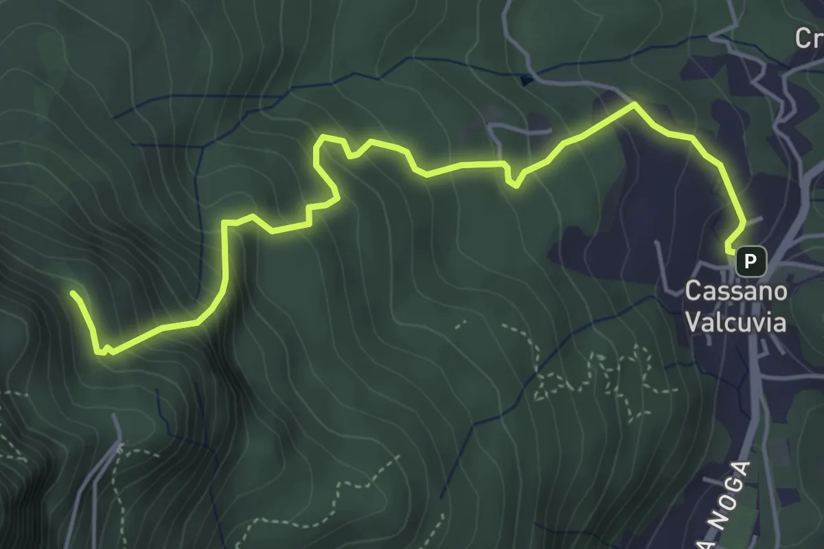
Medium · Trail
Cassano Valcuvia – Vallalta
5.4 km · ↑ 513 m · 2 h 23 min · 14 km away
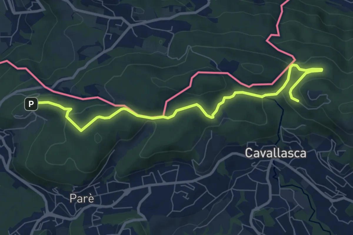
Medium · Trail
Bizzarone – Como
8.2 km · ↑ 264 m · 2 h 30 min · 14 km away
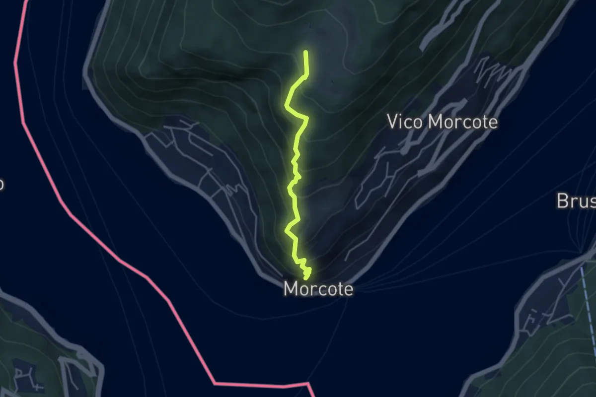
Medium · Trail
Alpe Vicania – Santa Maria del Sasso
3.3 km · ↑ 400 m · 1 h 39 min · 14 km away
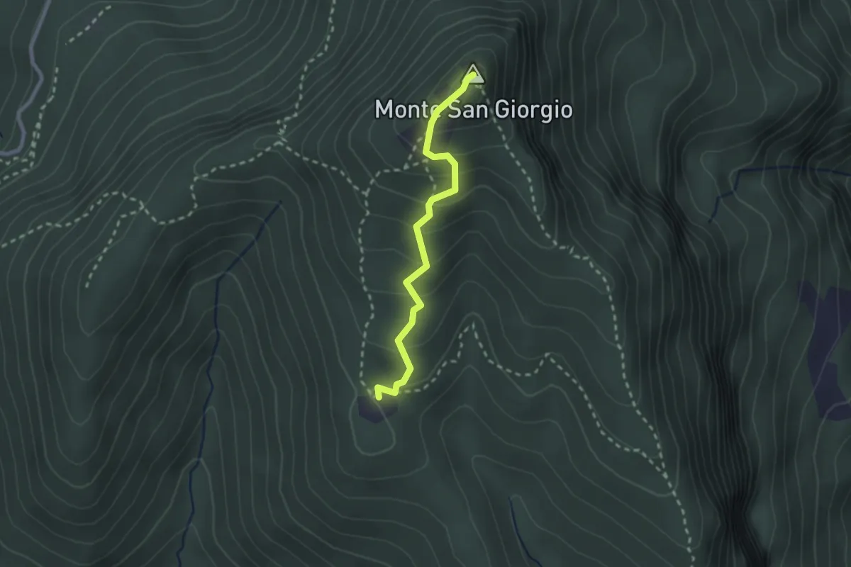
Medium · Summit
Monte San Giorgio – Cassina
2.2 km · ↑ 179 m · 55 min · 14 km away
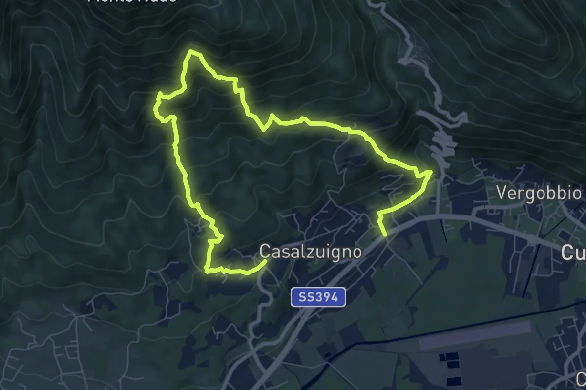
Demanding · Trail
Casale – Aga-Villa Bozzolo
11.5 km · ↑ 1072 m · 5 h 3 min · 14 km away
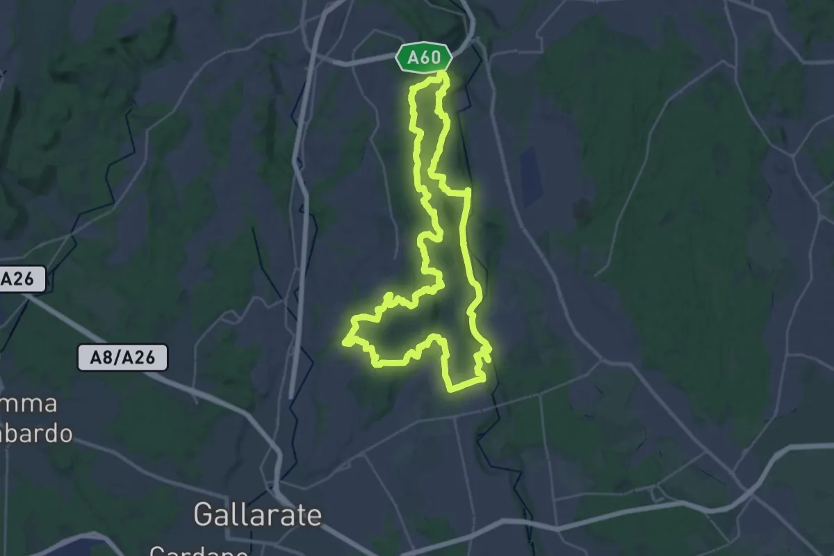
Demanding · Trail
Grandtour RTO
30.8 km · ↑ 344 m · 8 h 28 min · 14 km away
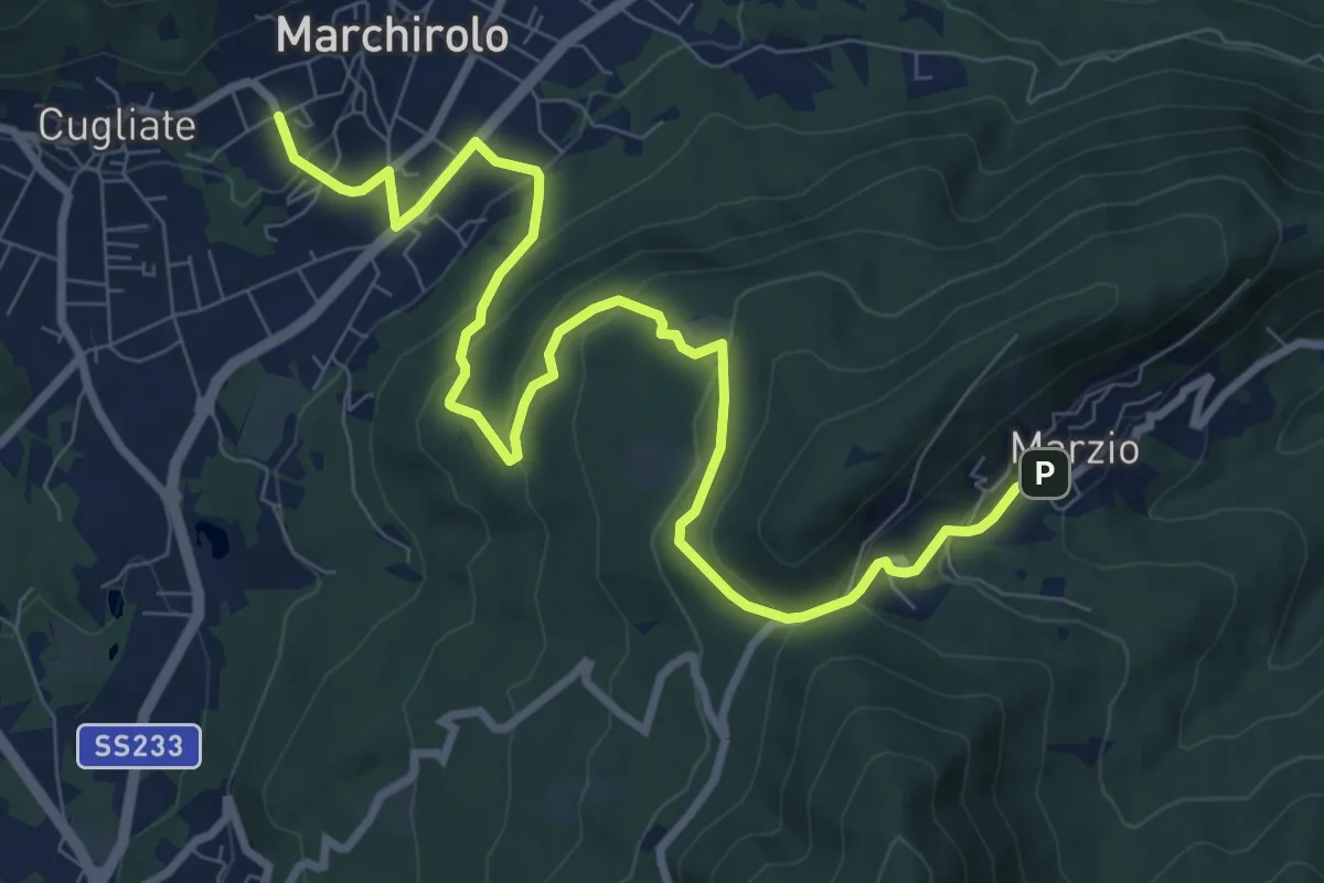
Medium · Trail
Marchirolo – Marzio
10.8 km · ↑ 456 m · 3 h 32 min · 14 km away
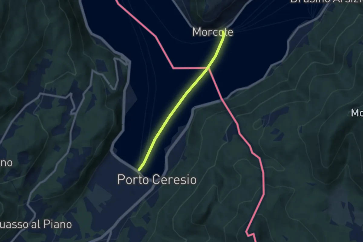
Easy · Trail
European Long distance path E1 - part Switzerland
4.9 km · ↑ 0 m · 1 h 9 min · 14 km away
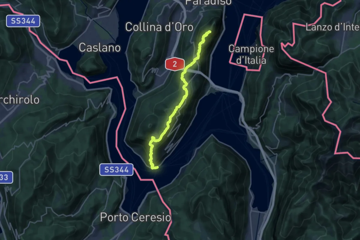
Demanding · Summit
Sentiero Lago di Lugano
18.5 km · ↑ 1189 m · 6 h 56 min · 14 km away
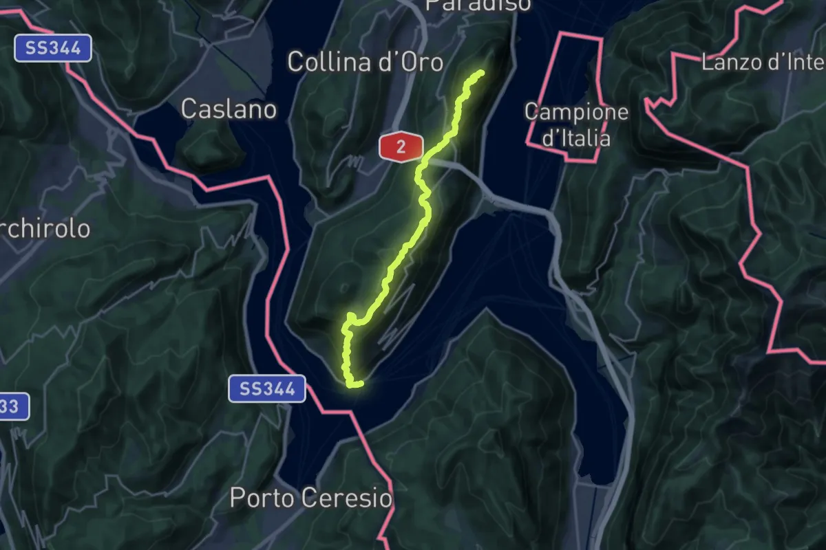
Demanding · Summit
Trans Swiss Trail
18.5 km · ↑ 1189 m · 6 h 56 min · 14 km away
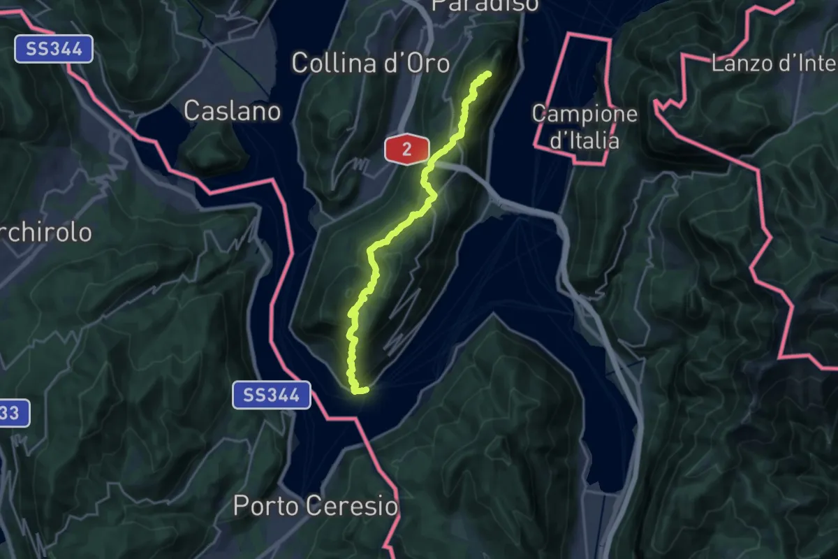
Demanding · Summit
ViaGottardo
18.2 km · ↑ 1119 m · 6 h 44 min · 14 km away
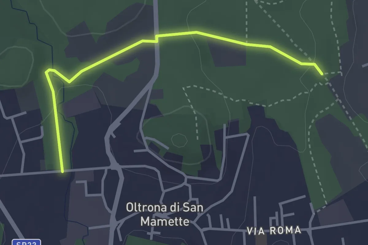
Easy · Trail
Incrocio 715B – Oltrona
3.2 km · ↑ 56 m · 52 min · 14 km away
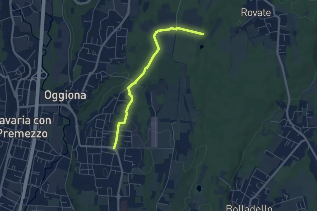
Easy · Trail
Sentiero Rio Freddo
4.9 km · ↑ 36 m · 1 h 15 min · 14 km away
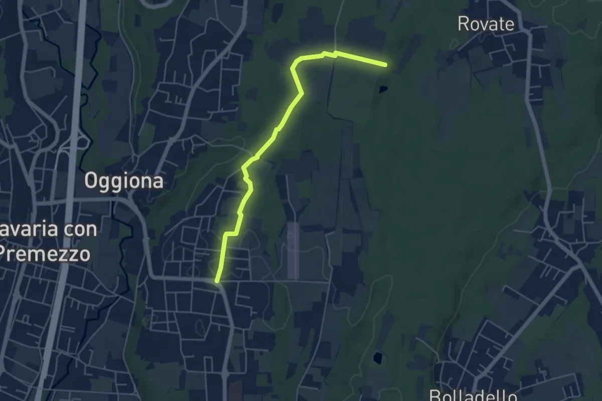
Easy · Trail
523A Sentiero Rio Freddo
4.9 km · ↑ 36 m · 1 h 15 min · 14 km away