Trails near Varese
231 hikes starting within 15 km, nearest first.
Nearest first, page 5 of 5
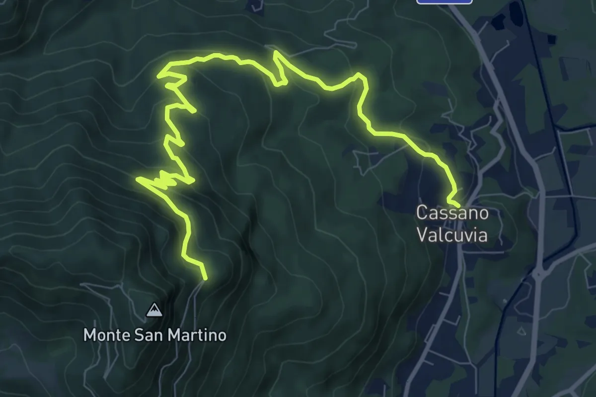
Medium · Trail
Cassano Valcuvia – Villa San Giuseppe
11.6 km · ↑ 624 m · 4 h 6 min · 14 km away
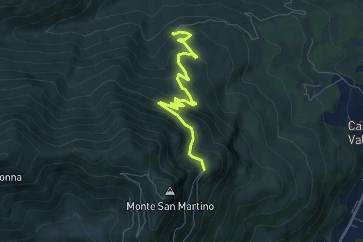
Medium · Trail
Mesenzana – Vallalta
5.8 km · ↑ 354 m · 2 h 8 min · 14 km away
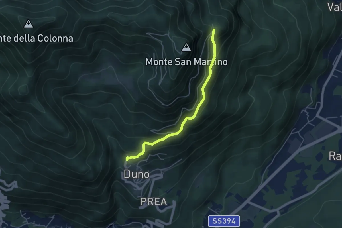
Medium · Trail
Duno – Vallalta
4.1 km · ↑ 303 m · 1 h 38 min · 14 km away
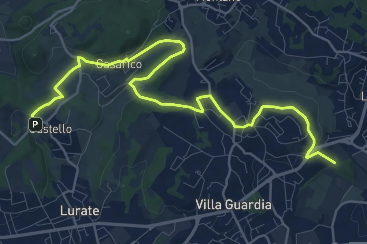
Medium · Trail
Castello – Civello
12.9 km · ↑ 191 m · 3 h 28 min · 14 km away
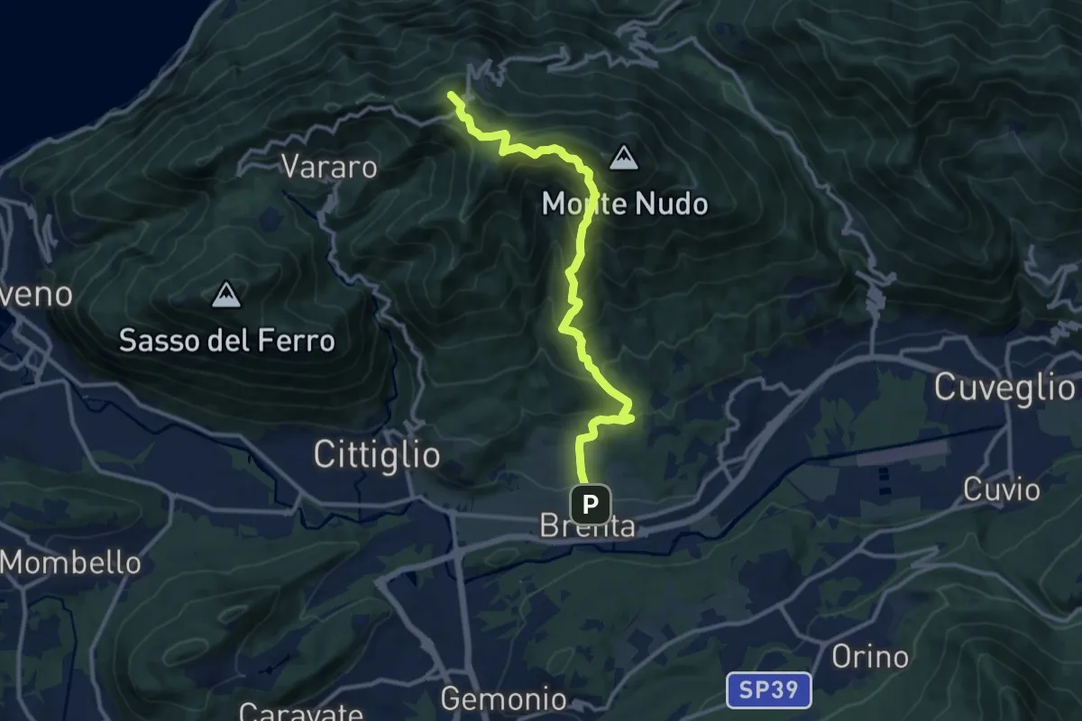
Demanding · Summit
Brenta – Passo Cuvignone
11.5 km · ↑ 1011 m · 4 h 55 min · 14 km away
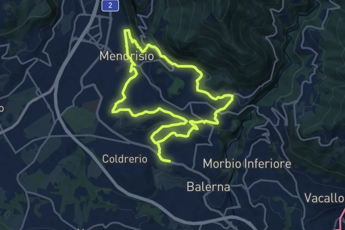
Medium · Trail
Itinerario "L’uomo e la vite"
10.9 km · ↑ 309 m · 3 h 24 min · 14 km away
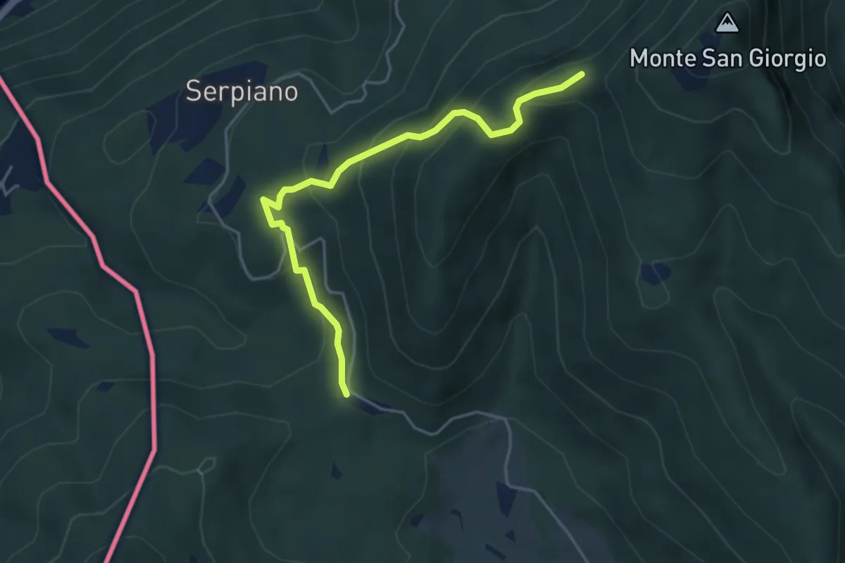
Medium · Trail
Punto 902 – Crocifisso
4.3 km · ↑ 290 m · 1 h 39 min · 14 km away
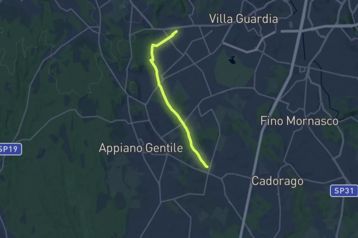
Medium · Trail
Lurate Caccivio – Guanzate
11.5 km · ↑ 86 m · 2 h 53 min · 14 km away
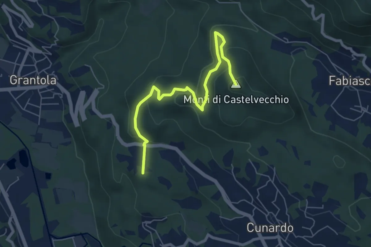
Medium · Summit
Fornaci – Cunardo
5.7 km · ↑ 299 m · 2 h · 14 km away
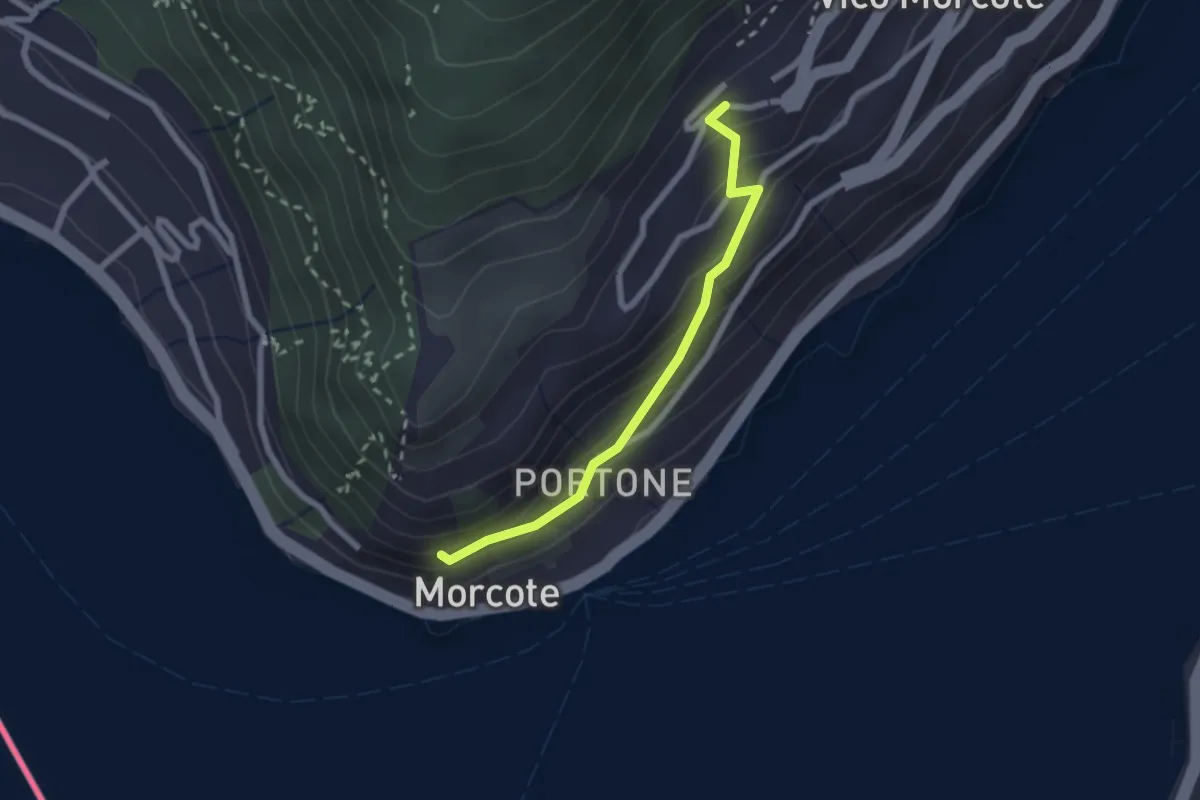
Easy · Trail
Vico Morcote – Santa Maria del Sasso
2.1 km · ↑ 161 m · 51 min · 14 km away
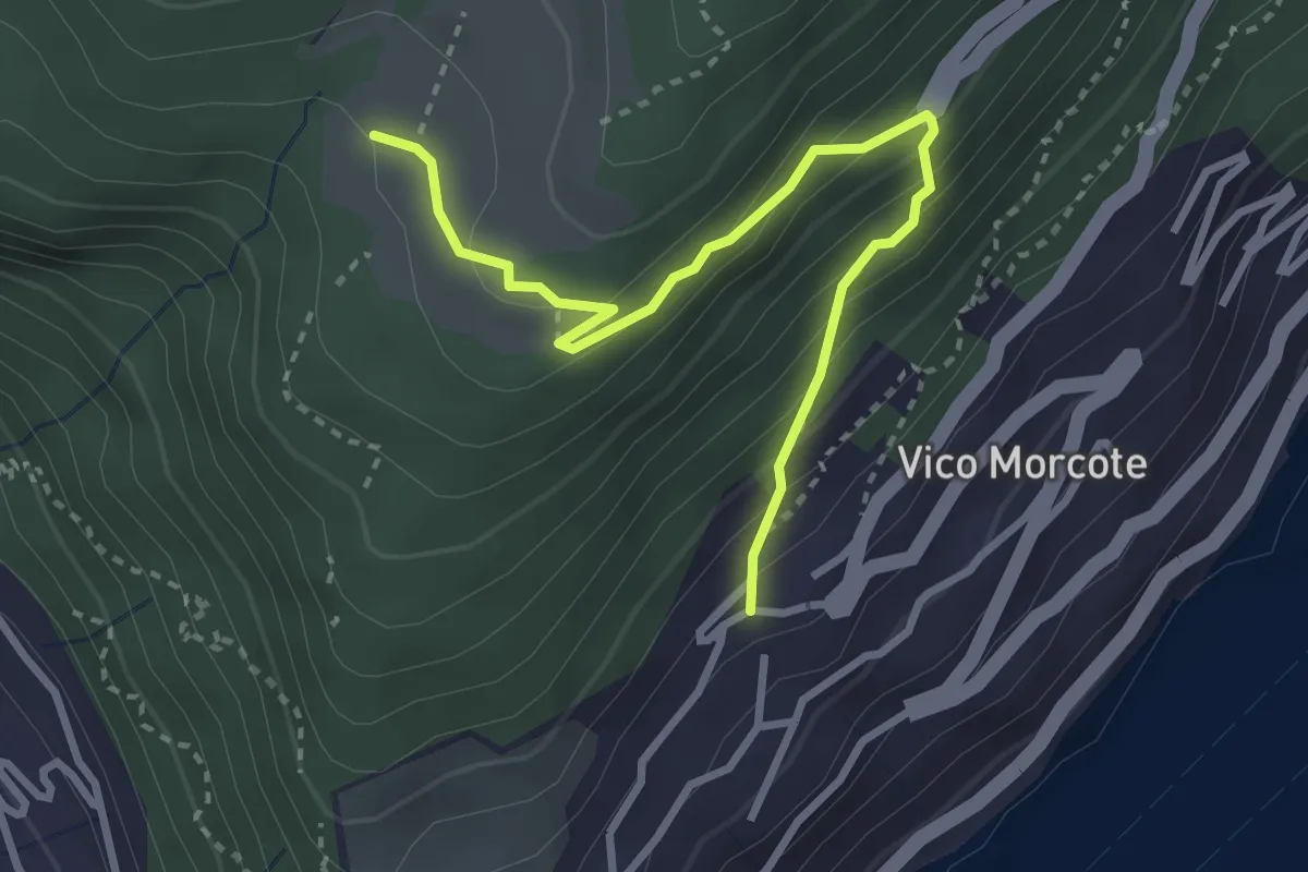
Medium · Trail
Alpe Vicania – Vico Morcote
3.4 km · ↑ 261 m · 1 h 22 min · 14 km away
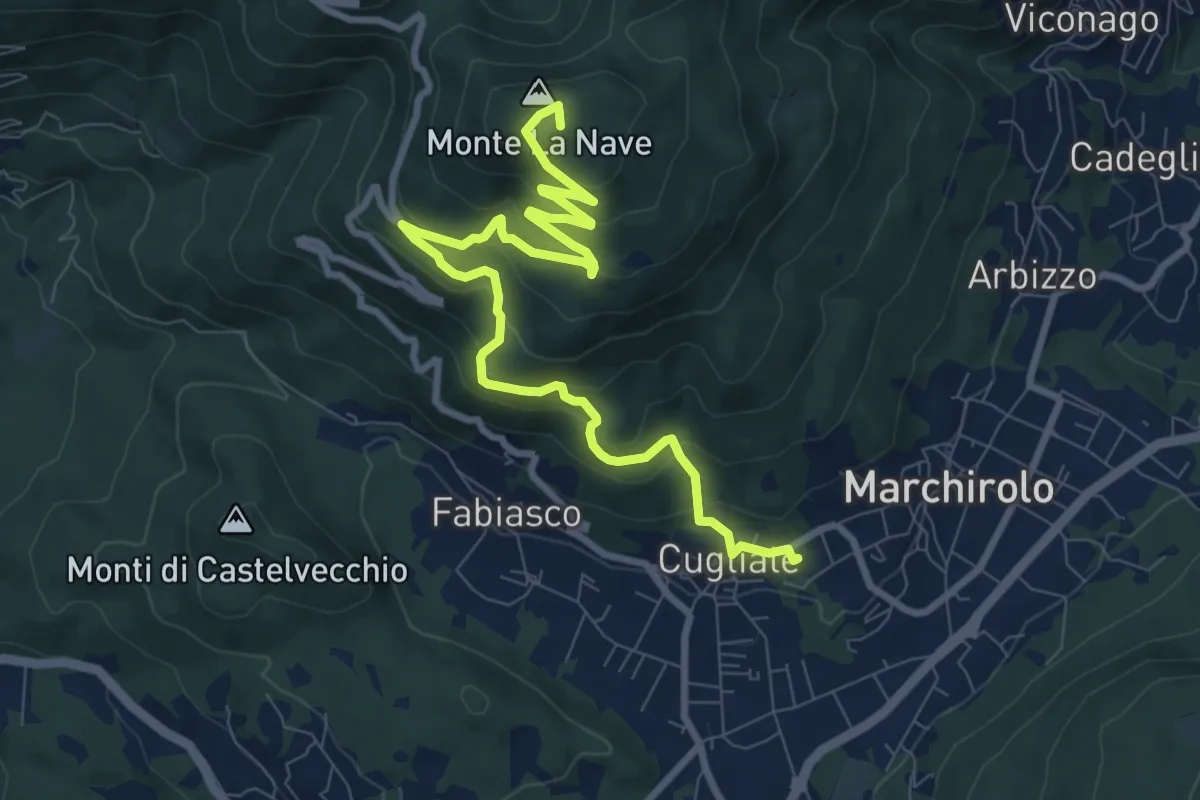
Medium · Summit
Cugliate Fabiasco – Monte la Nave
10.5 km · ↑ 615 m · 3 h 49 min · 14 km away
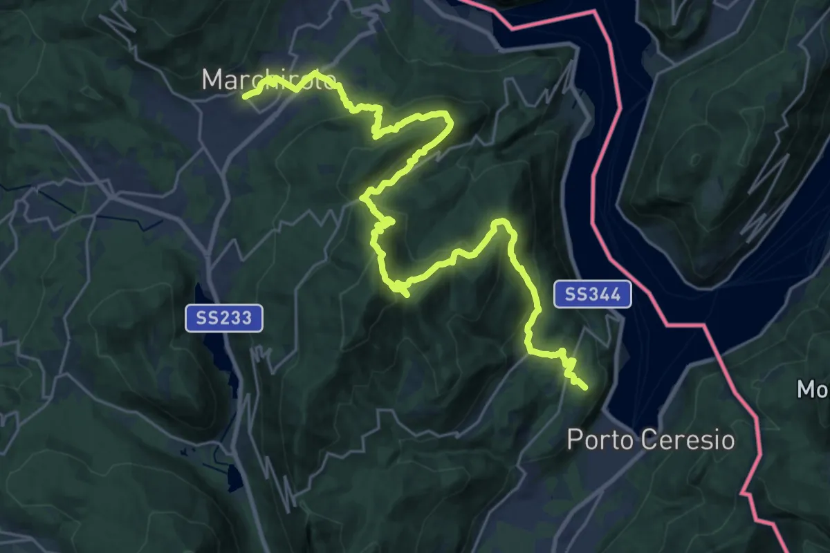
Demanding · Summit
Marchirolo – Porto Ceresio
29.4 km · ↑ 1473 m · 10 h 8 min · 14 km away
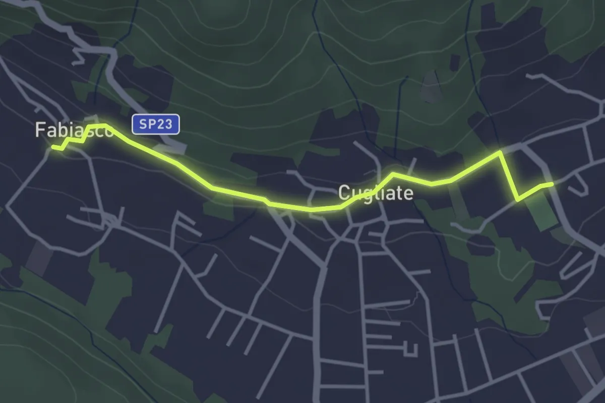
Easy · Trail
Campo sportivo Marchirolo – Parcheggio Cugliate Fabiasco
3.3 km · ↑ 75 m · 57 min · 14 km away
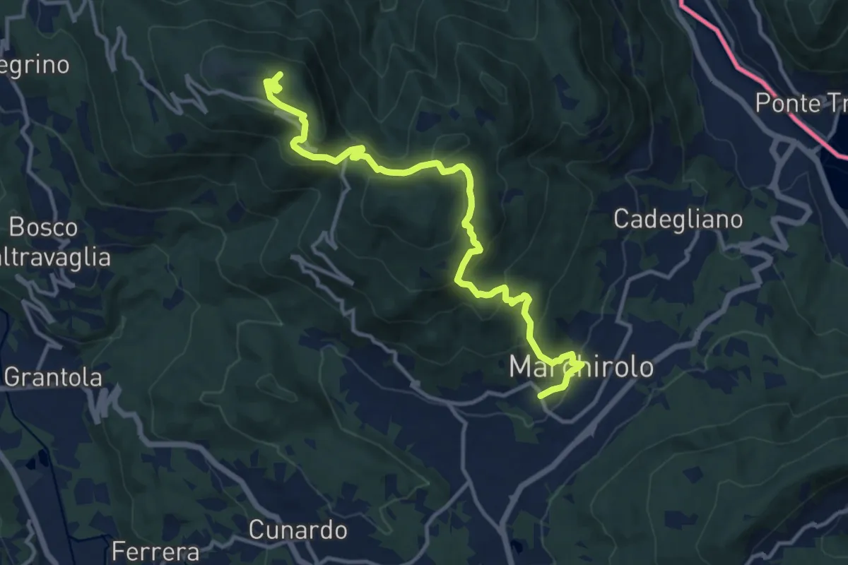
Medium · Summit
Marchirolo – Monte Sette Termini
12.8 km · ↑ 765 m · 4 h 41 min · 14 km away
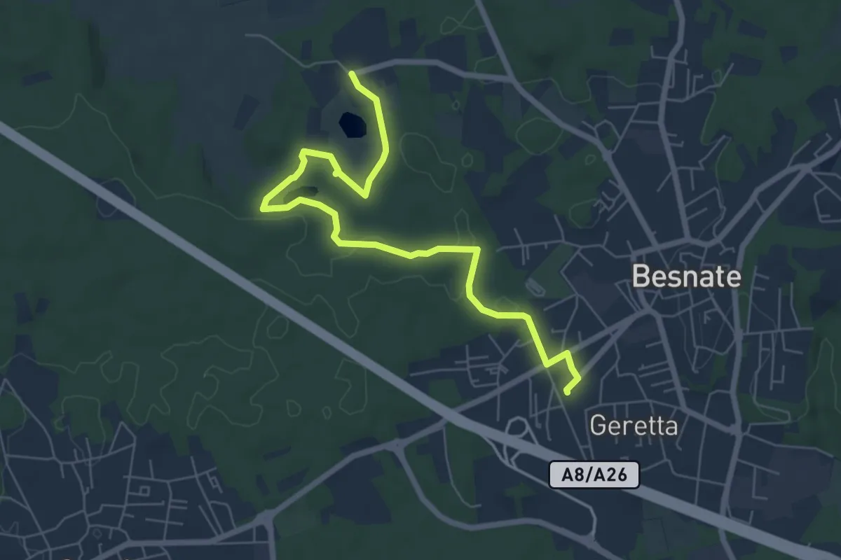
Easy · Trail
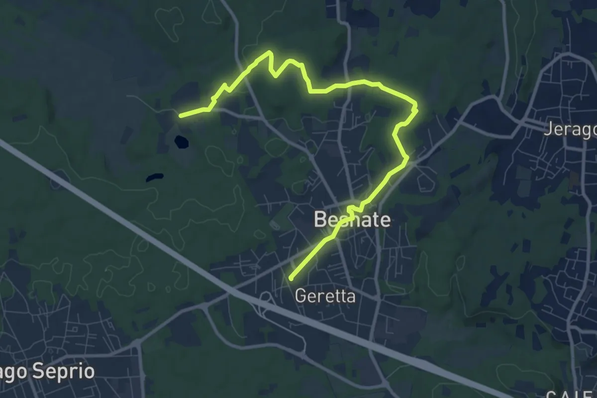
Percorsi del Cuore - Anello di Besnate
7.1 km · ↑ 51 m · 1 h 47 min · 14 km away
Medium · Trail
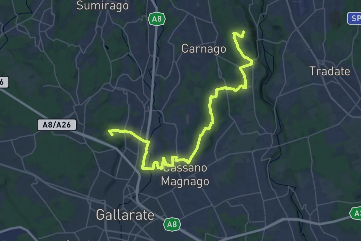
Percorsi del Cuore - Anello di Besnate
10.2 km · ↑ 90 m · 2 h 37 min · 14 km away
Medium · Trail
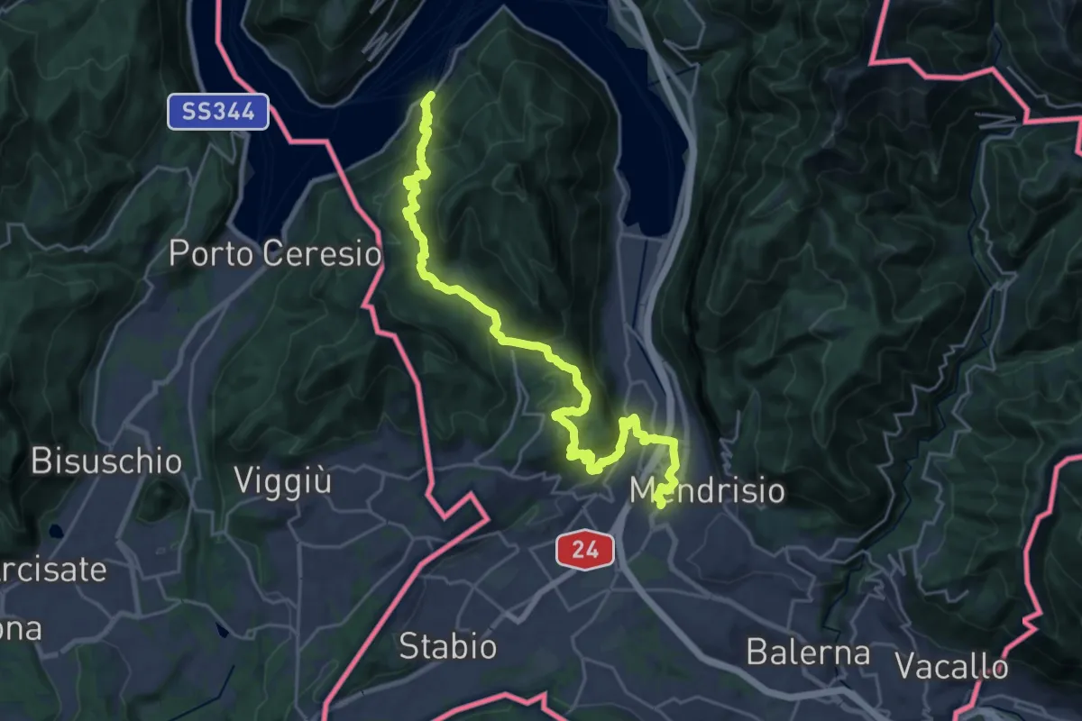
Collegamento Ticino-Seprio
16.0 km · ↑ 202 m · 4 h 23 min · 14 km away
Medium · Trail
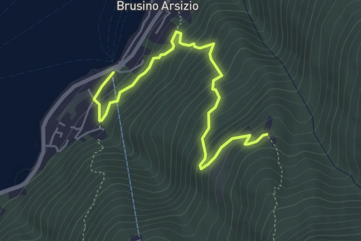
ViaGottardo
13.4 km · ↑ 576 m · 4 h 34 min · 14 km away
Medium · Trail
Brusino Arsizio Statione – Alpe di Brusino
5.1 km · ↑ 442 m · 2 h 9 min · 14 km away
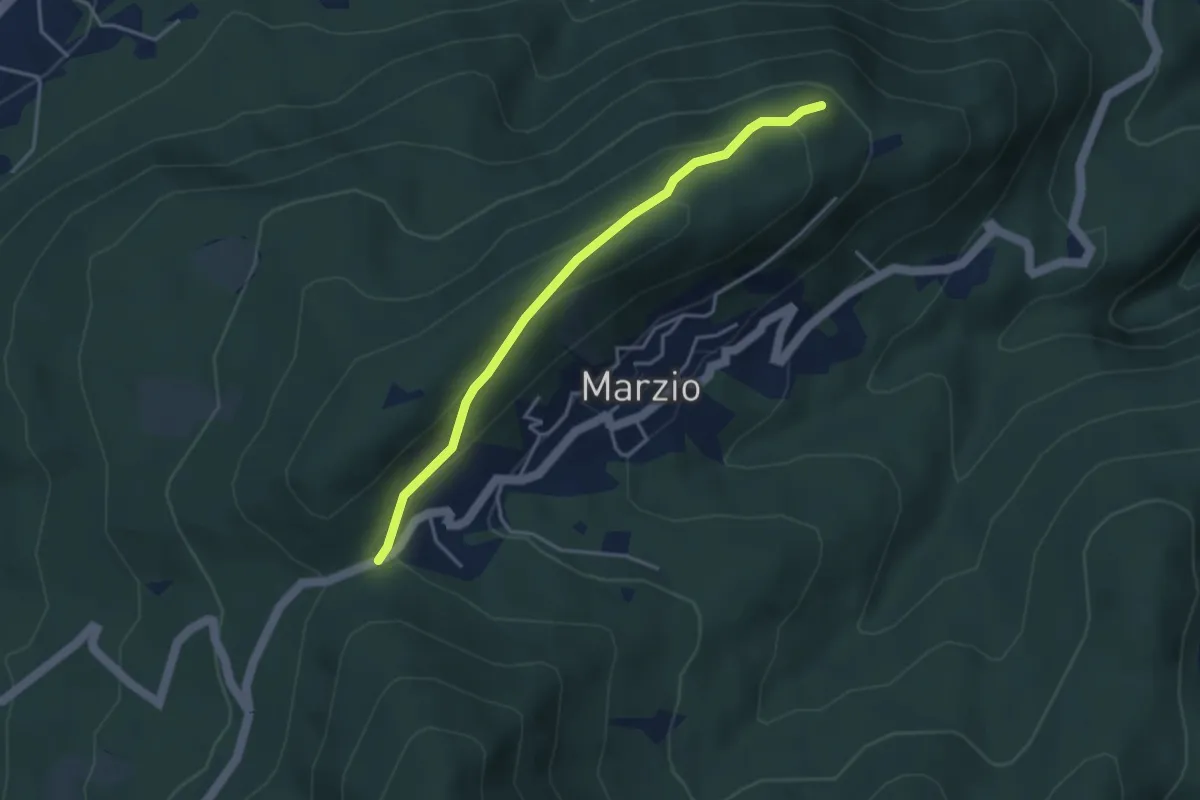
Easy · Trail
Variante Monte Marzio belvedere – Forcorella
3.6 km · ↑ 141 m · 1 h 10 min · 15 km away
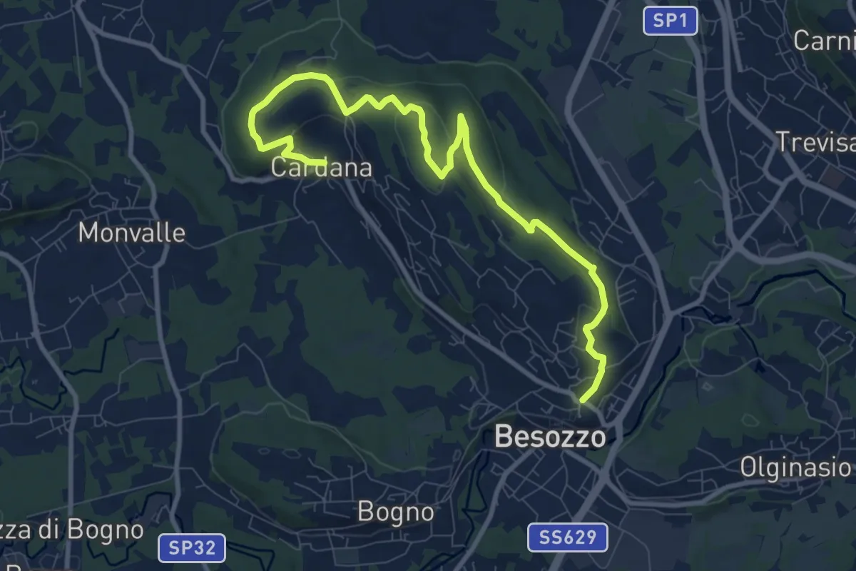
Medium · Trail
630 Anello di Besozzo - Besozzo/Cardana
10.7 km · ↑ 271 m · 3 h 6 min · 15 km away
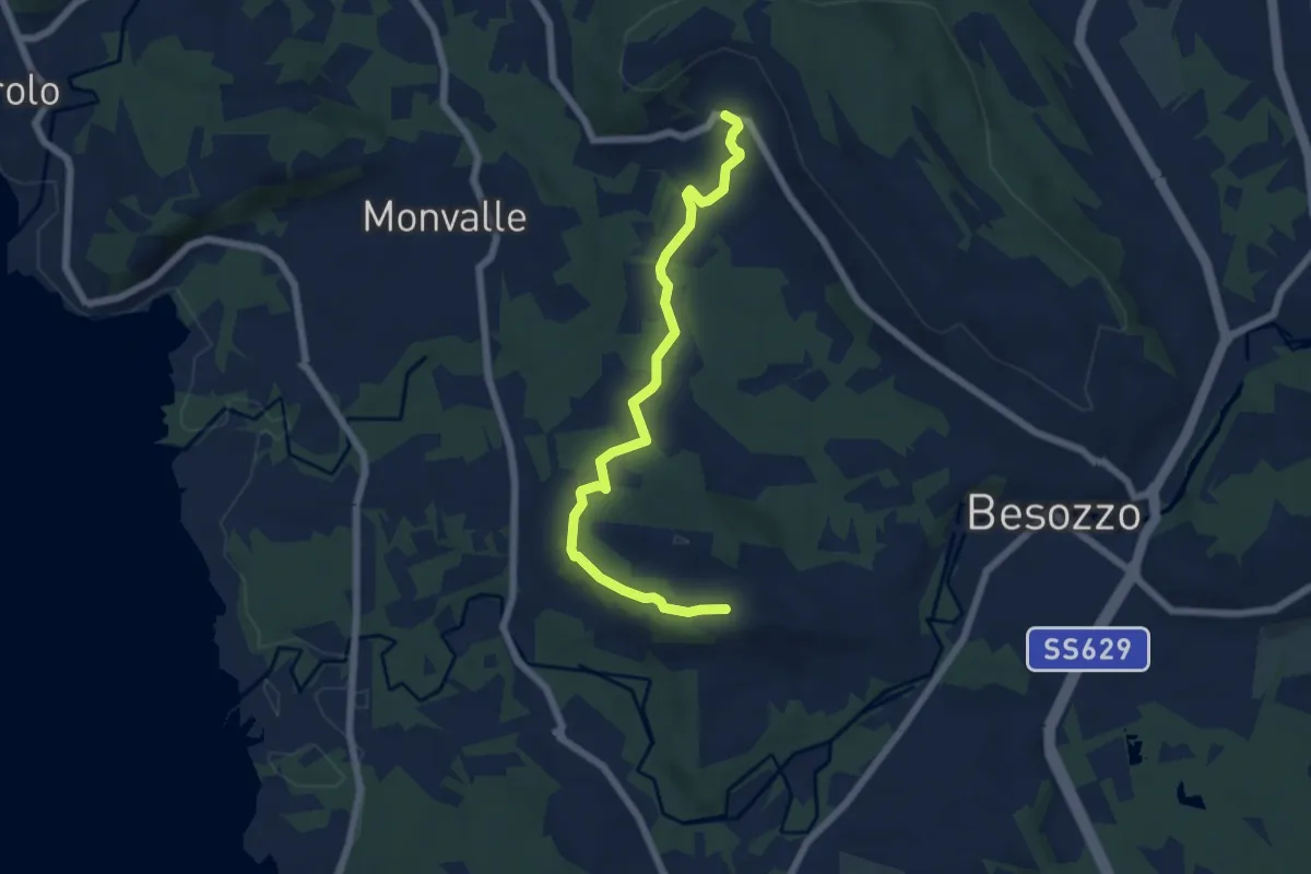
Easy · Trail
Anello di Besozzo - Cardana/Bogno
6.4 km · ↑ 126 m · 1 h 47 min · 15 km away
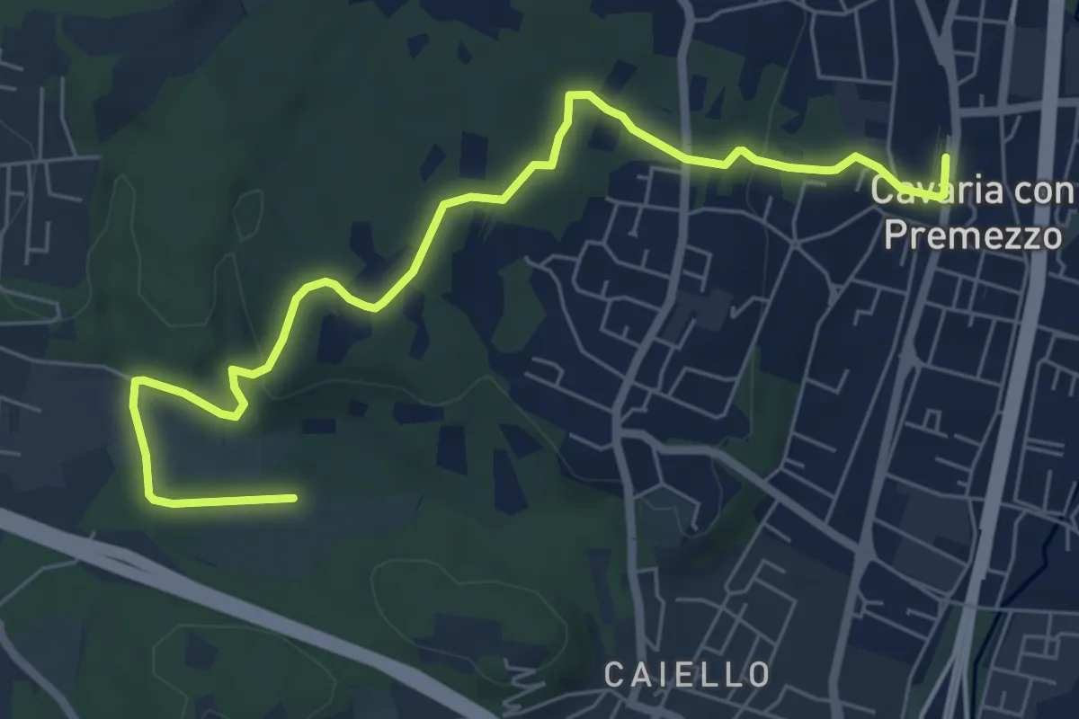
Medium · Trail
DID Anello di Cavaria
7.3 km · ↑ 114 m · 1 h 58 min · 15 km away
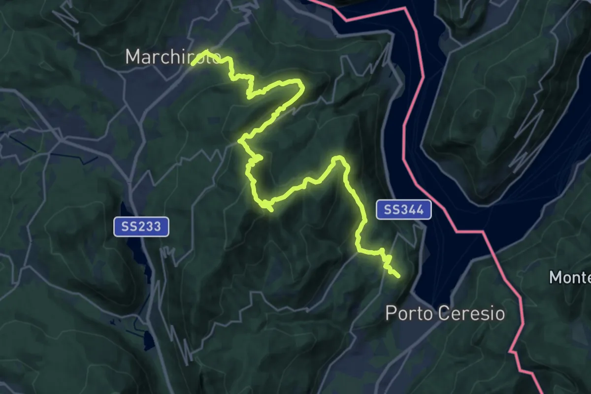
Demanding · Summit
Marchirolo – Porto Ceresio
27.6 km · ↑ 1465 m · 9 h 42 min · 15 km away
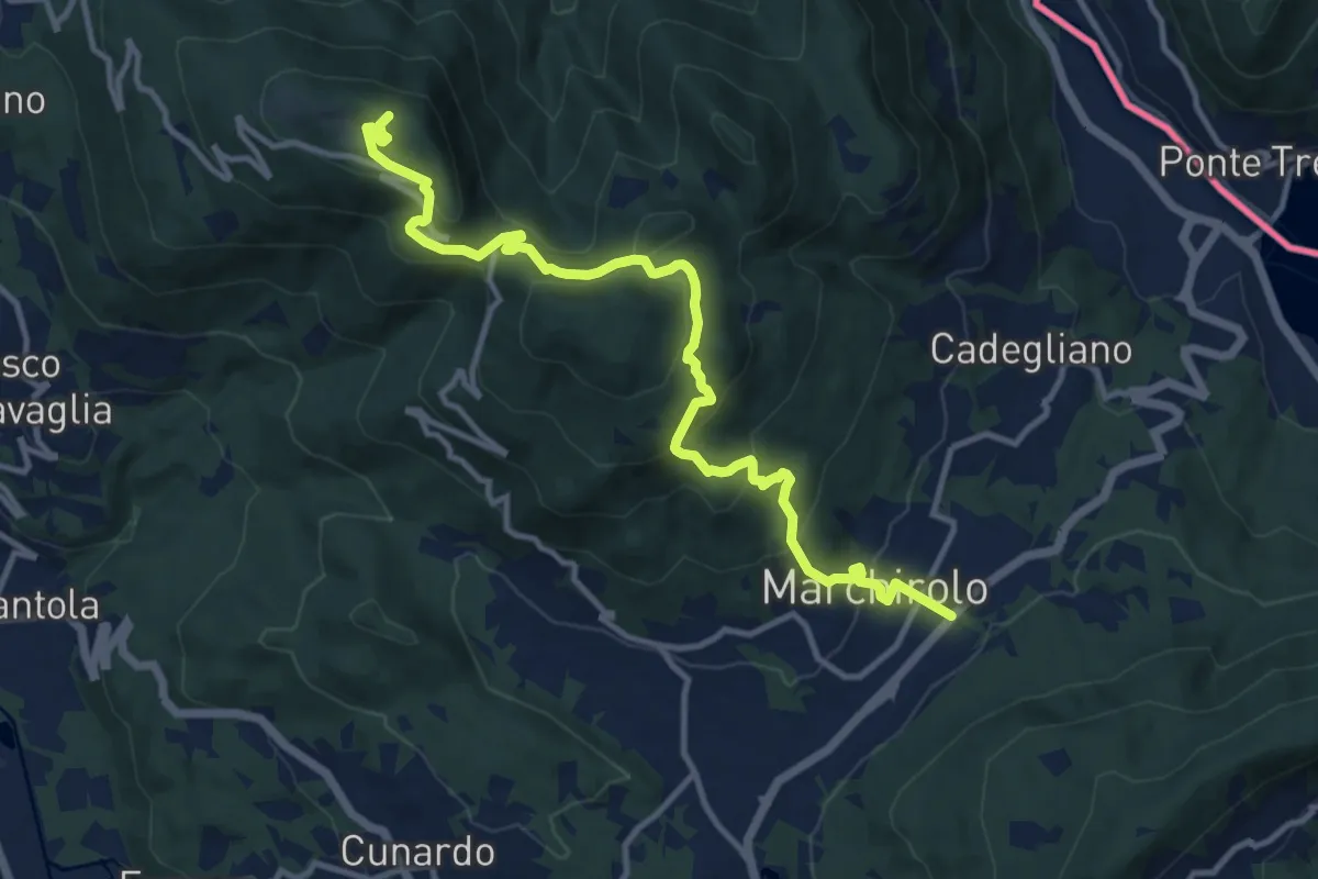
Demanding · Summit
Diga di Creva (Luino) – Marchirolo
13.1 km · ↑ 771 m · 4 h 45 min · 15 km away
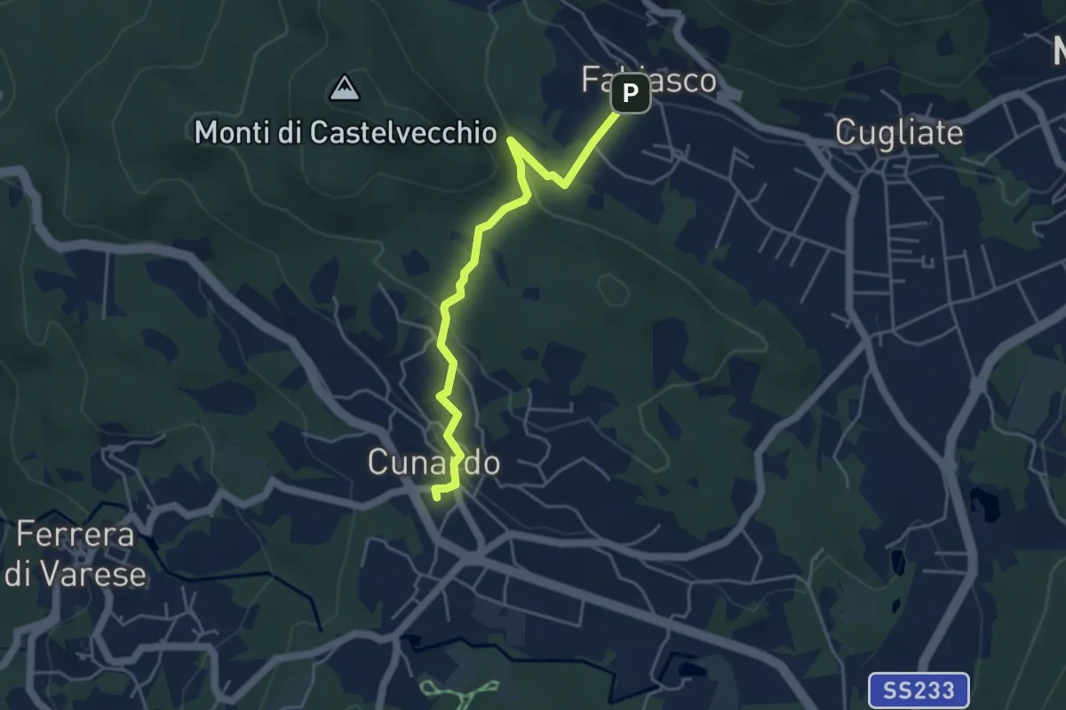
Easy · Trail
Cugliate Fabiasco – Cunardo
4.3 km · ↑ 154 m · 1 h 21 min · 15 km away
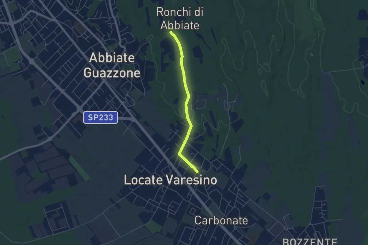
Easy · Trail
Sentiero 844C
4.5 km · ↑ 42 m · 1 h 9 min · 15 km away
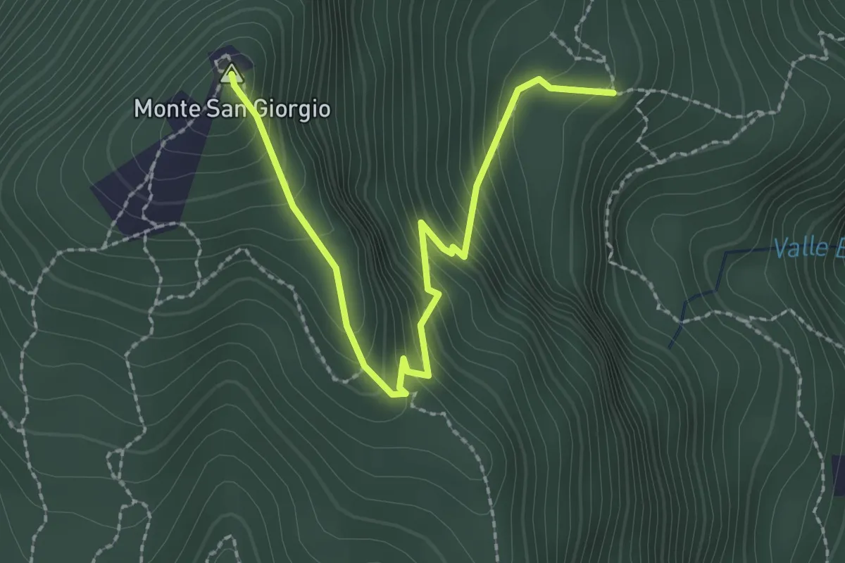
Easy · Summit
M.te San Giorgio - Pozzo? - fixme
2.6 km · ↑ 257 m · 1 h 11 min · 15 km away
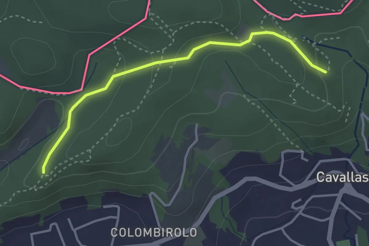
Easy · Trail
Naturalistico di Parè
3.0 km · ↑ 71 m · 51 min · 15 km away
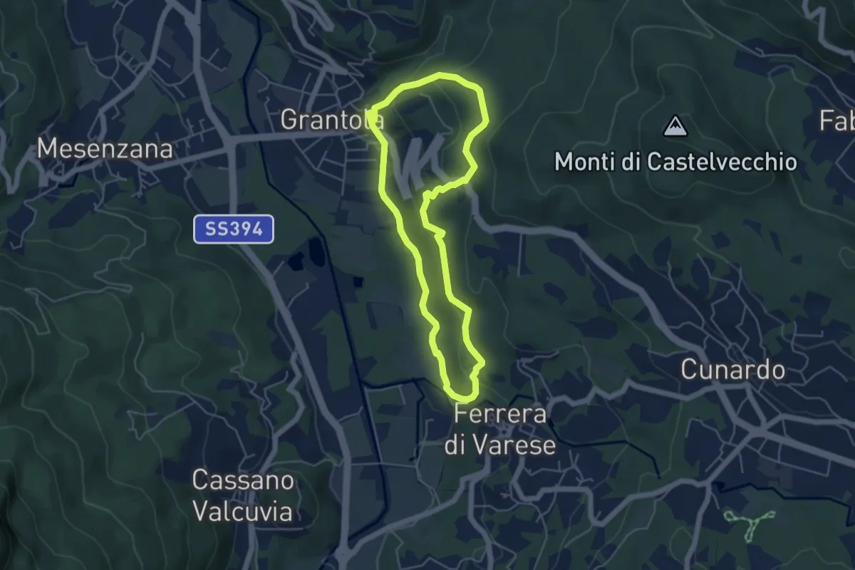
Easy · Trail
Grantola – Grantola
4.5 km · ↑ 187 m · 1 h 32 min · 15 km away
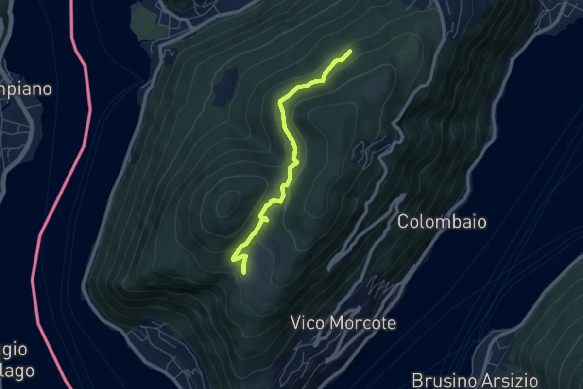
Easy · Trail
Alpe Vicania – Madonna d'Ongero
5.1 km · ↑ 213 m · 1 h 40 min · 15 km away
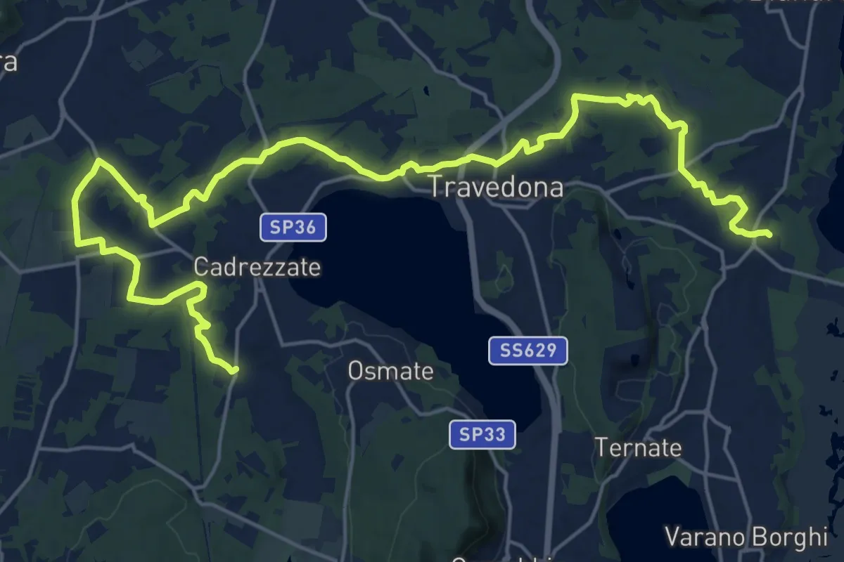
Demanding · Trail
Sentiero delle pesche
26.6 km · ↑ 379 m · 7 h 6 min · 15 km away
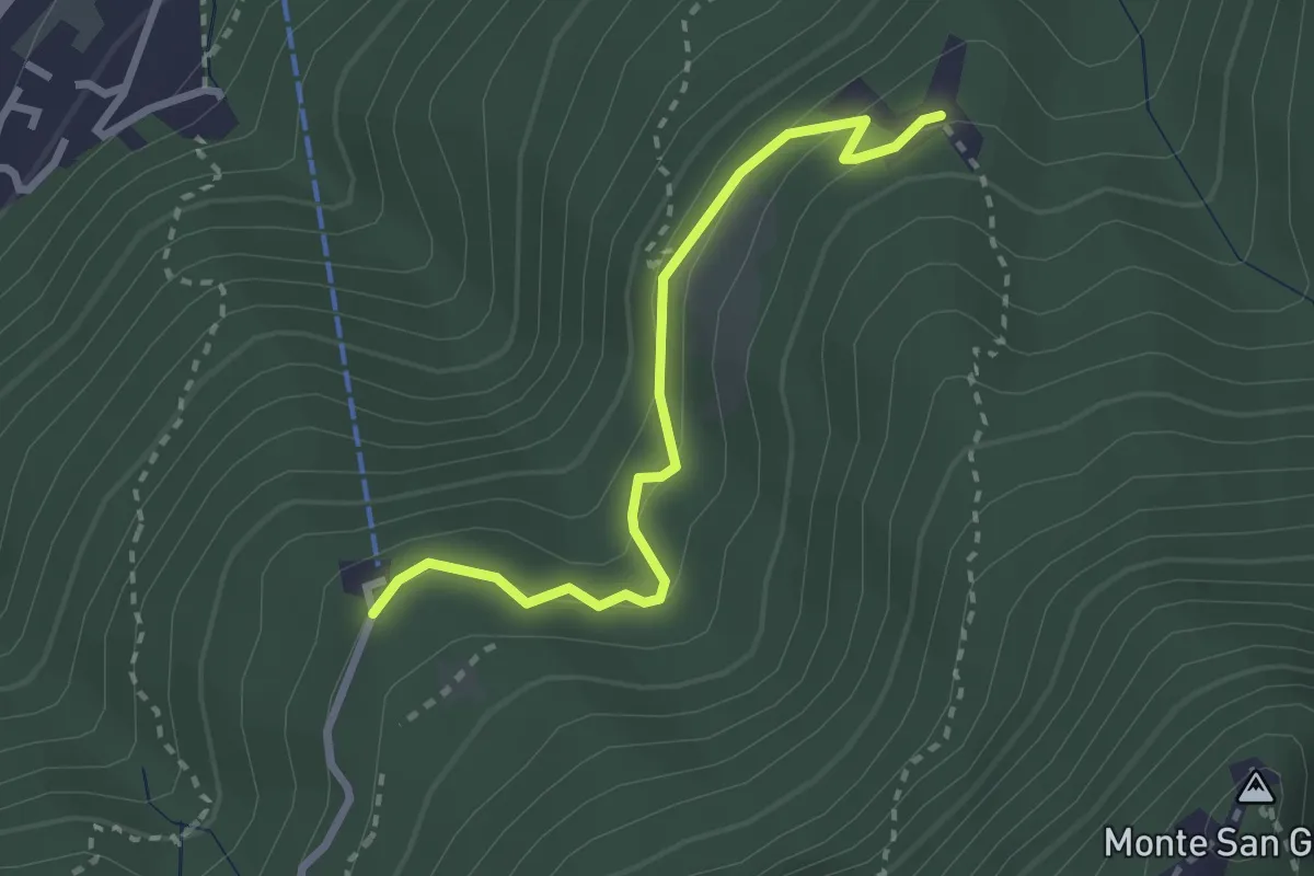
Easy · Trail
Serpiano Statione – Alpe di Brusino
2.7 km · ↑ 164 m · 1 h · 15 km away
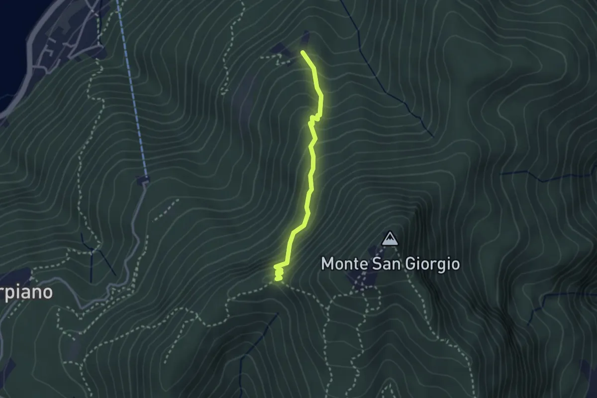
Medium · Trail
Alpe di Brusino – Punto 902
2.4 km · ↑ 262 m · 1 h 8 min · 15 km away
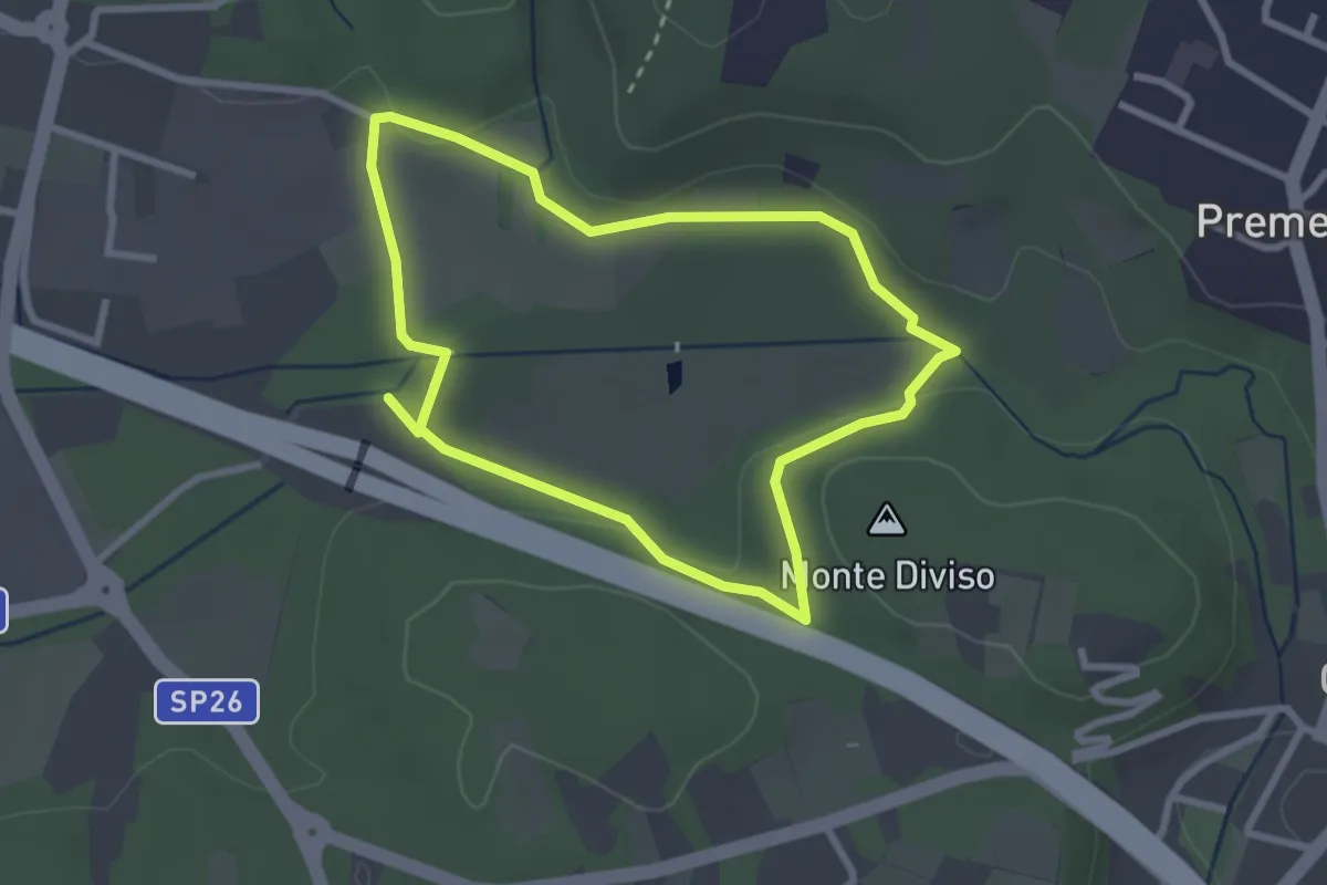
Easy · Summit
Anello dei Fontanili
2.6 km · ↑ 22 m · 42 min · 15 km away
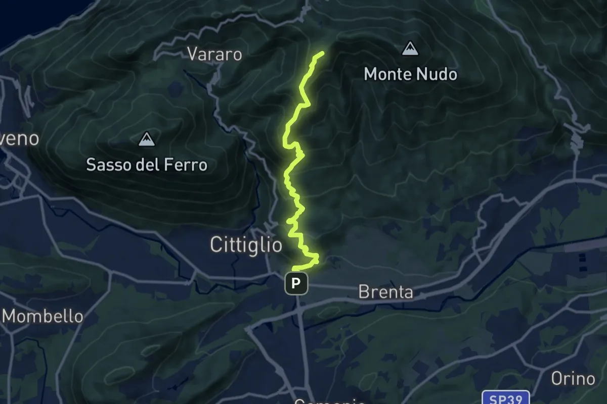
Demanding · Summit
Direttissima Crocetta
9.7 km · ↑ 851 m · 4 h 8 min · 15 km away
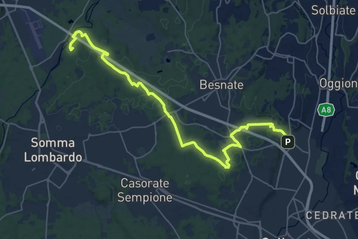
Demanding · Summit
Sentiero Strona
22.8 km · ↑ 292 m · 6 h · 15 km away
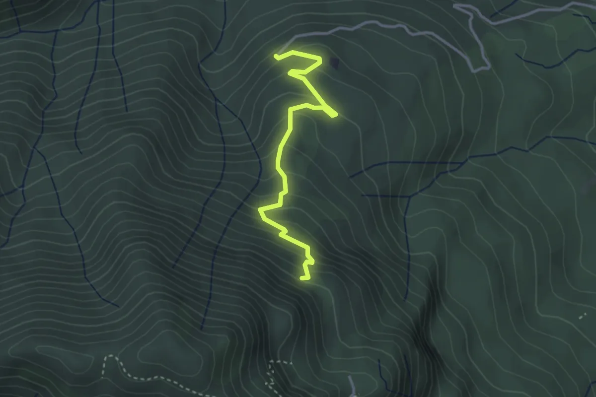
Easy · Trail
260B Sentiero delle Trincee
3.1 km · ↑ 266 m · 1 h 19 min · 15 km away