Trails near Varzi
155 hikes starting within 15 km, nearest first.
Nearest first, page 1 of 4
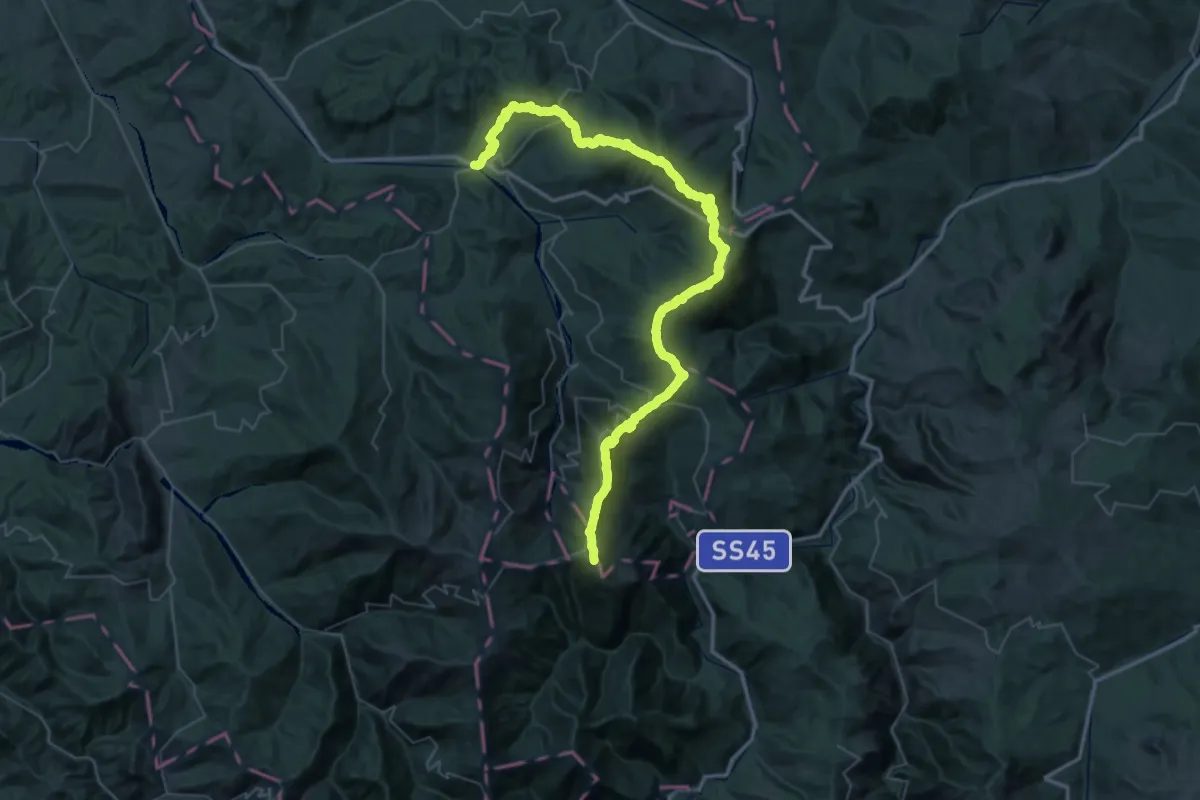
Demanding · Summit
Varzi – Passo del Giovà
66.7 km · ↑ 3387 m · 23 h 5 min · under 1 km away
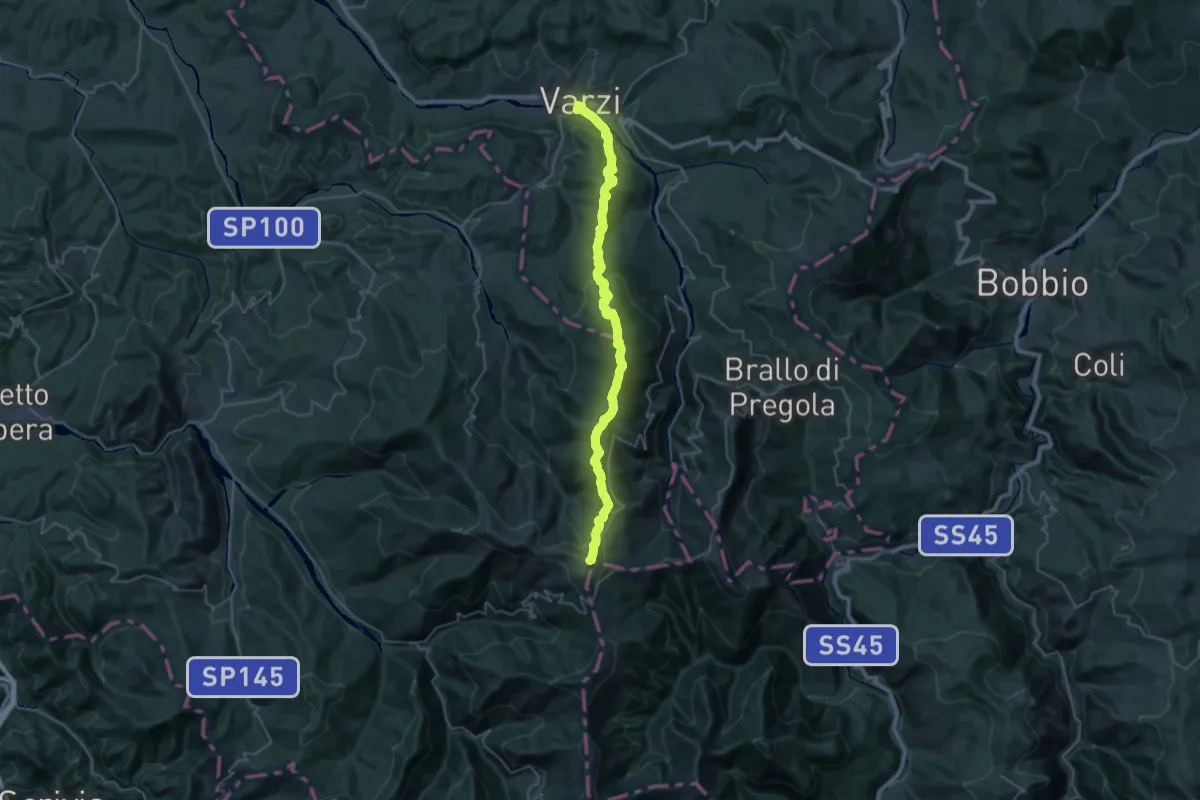
Demanding · Summit
Via del Sale
37.2 km · ↑ 1888 m · 12 h 52 min · under 1 km away
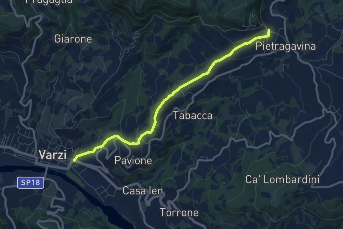
Medium · Trail
Varzi – Pietragavina
7.8 km · ↑ 321 m · 2 h 32 min · under 1 km away
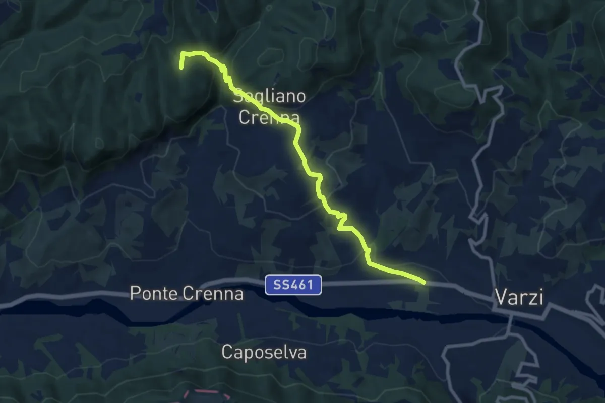
Medium · Summit
Varzi – Sant'Alberto (Abbazia)
8.3 km · ↑ 358 m · 2 h 44 min · 1 km away
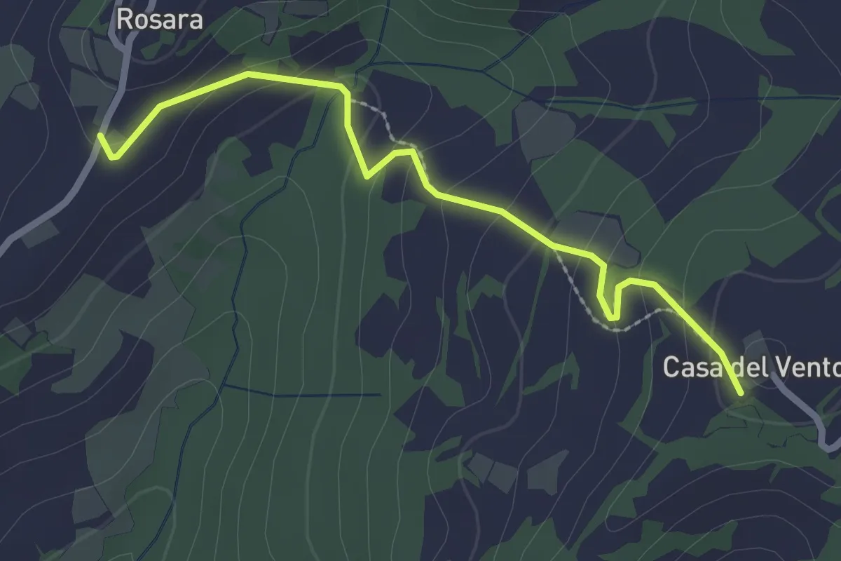
Easy · Trail
Casa del Vento – Rosara
2.5 km · ↑ 129 m · 52 min · 2 km away
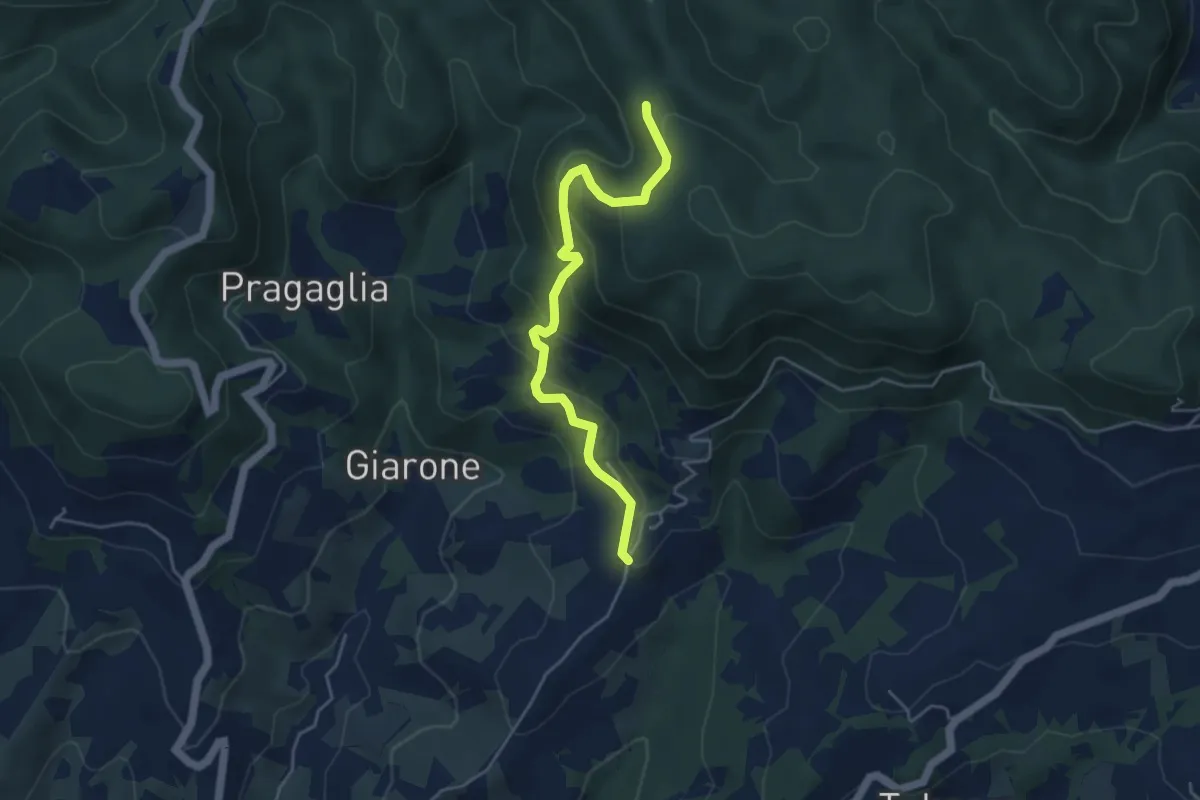
Medium · Trail
Rosara – Percorso 184
4.6 km · ↑ 347 m · 1 h 51 min · 2 km away
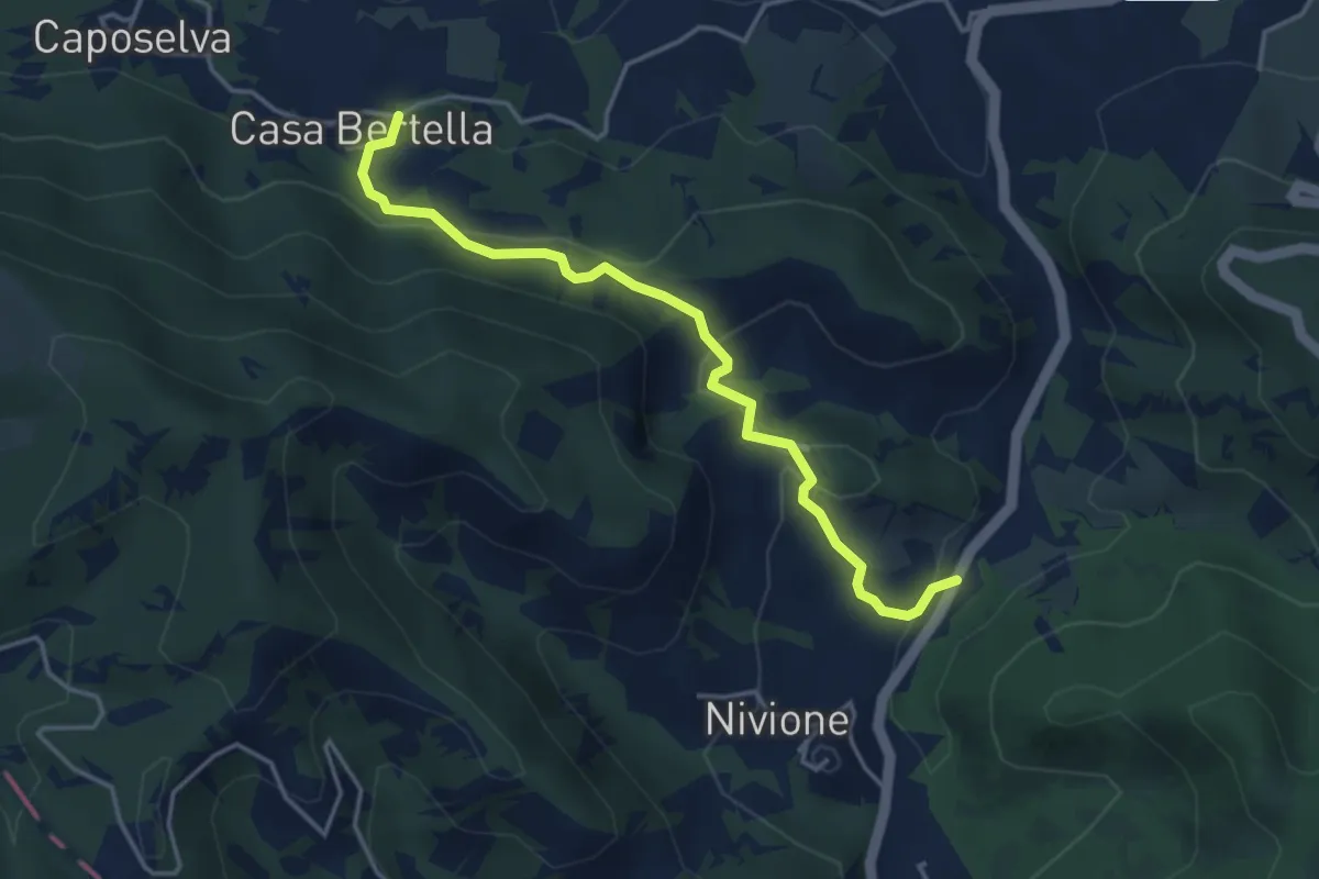
Easy · Trail
Casa Bertella – Filagni di Nivione
4.1 km · ↑ 200 m · 1 h 24 min · 2 km away
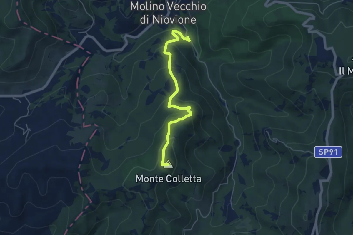
Easy · Summit
Molino di Nivione – Pian dei Laghi
4.6 km · ↑ 317 m · 1 h 47 min · 3 km away
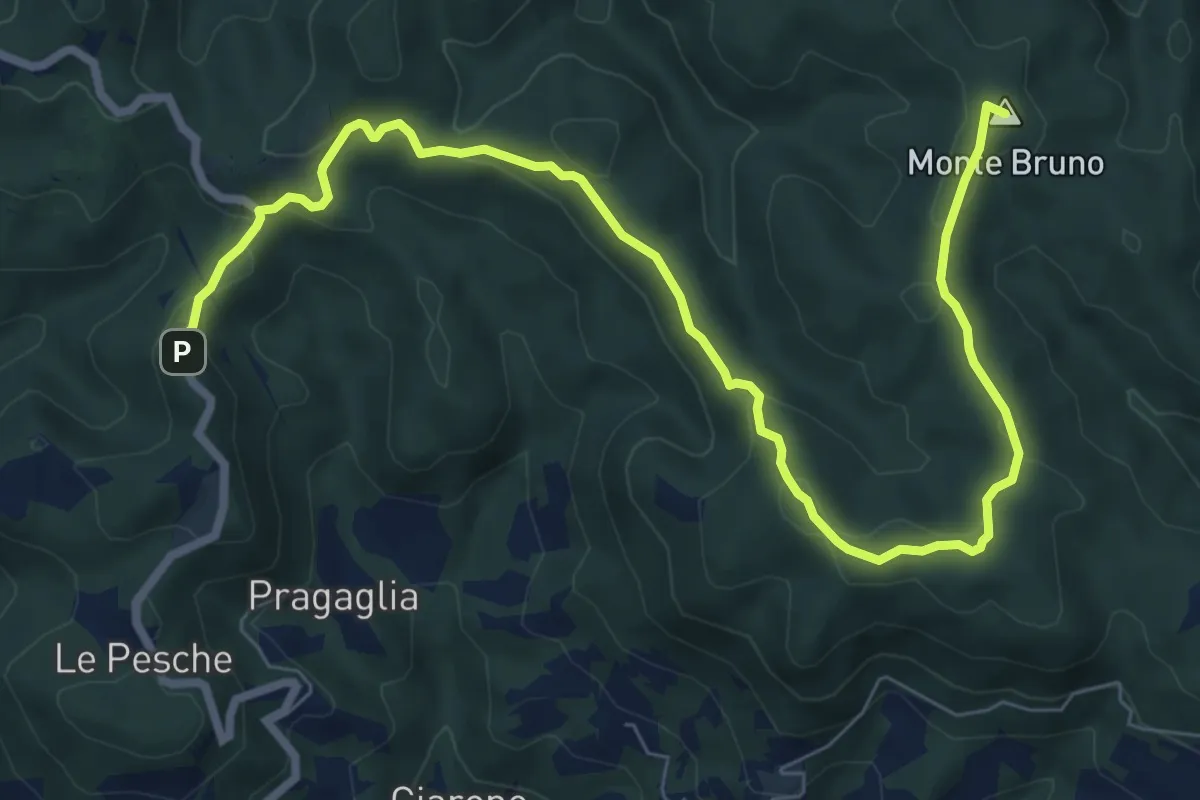
Medium · Summit
Castello di Verde – Oramala
9.9 km · ↑ 345 m · 3 h 5 min · 3 km away
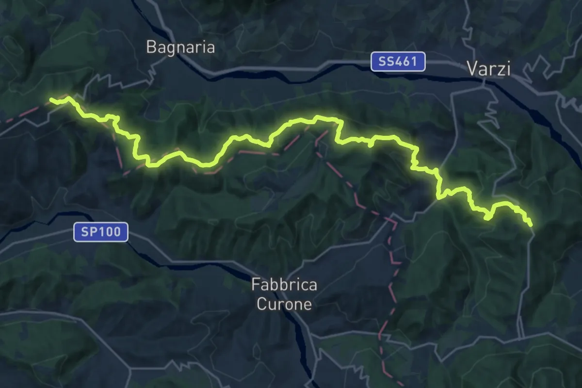
Demanding · Summit
Guardamonte – Bivio Via del Sale-SP 91
28.3 km · ↑ 1453 m · 9 h 50 min · 3 km away
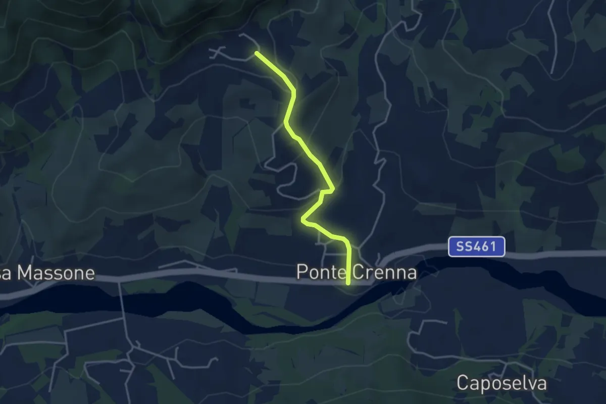
Easy · Trail
Ponte Crenna – Livelli
3.2 km · ↑ 162 m · 1 h 6 min · 3 km away
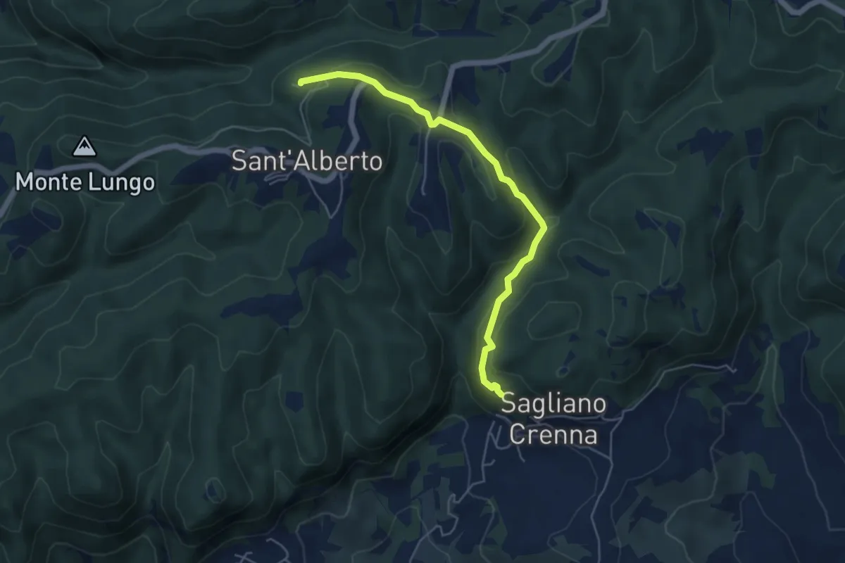
Easy · Trail
Sagliano – Sant'Alberto (Abazzia)
5.2 km · ↑ 264 m · 1 h 47 min · 3 km away
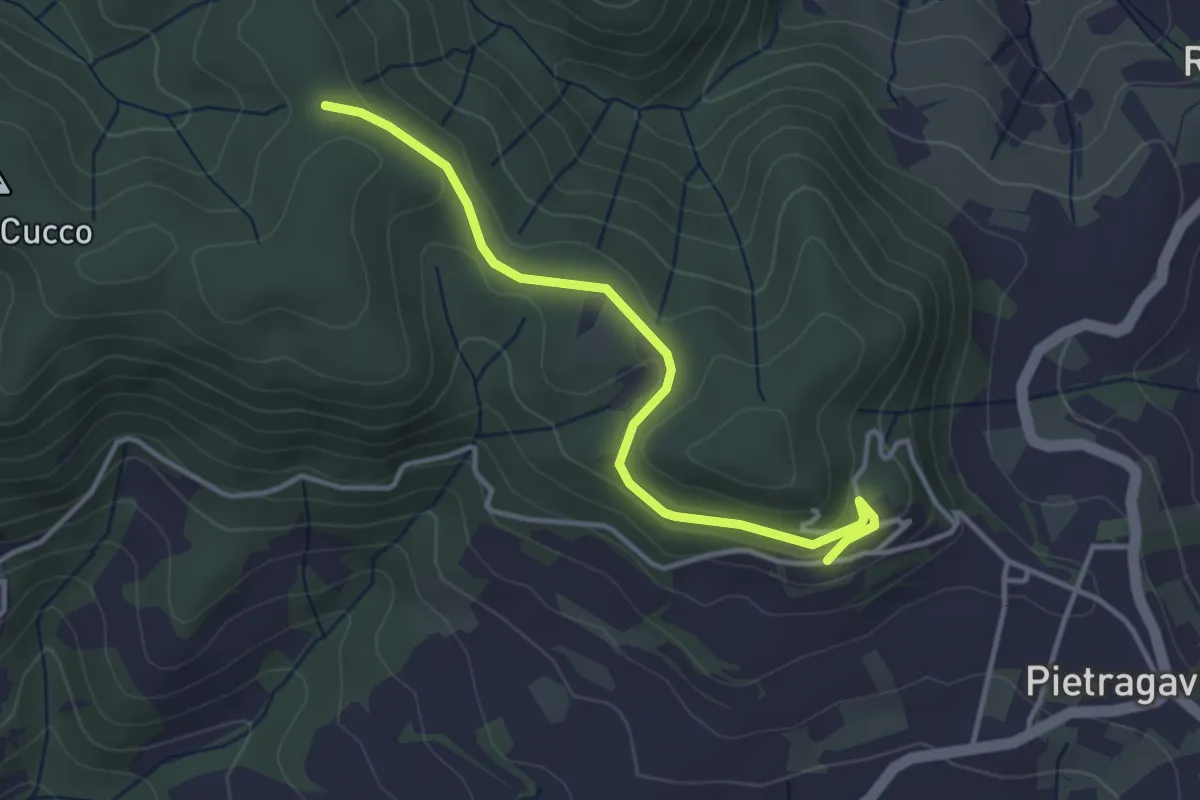
Easy · Trail
Pietragavina – Incrocio sentiero 184
3.7 km · ↑ 76 m · 1 h 2 min · 3 km away
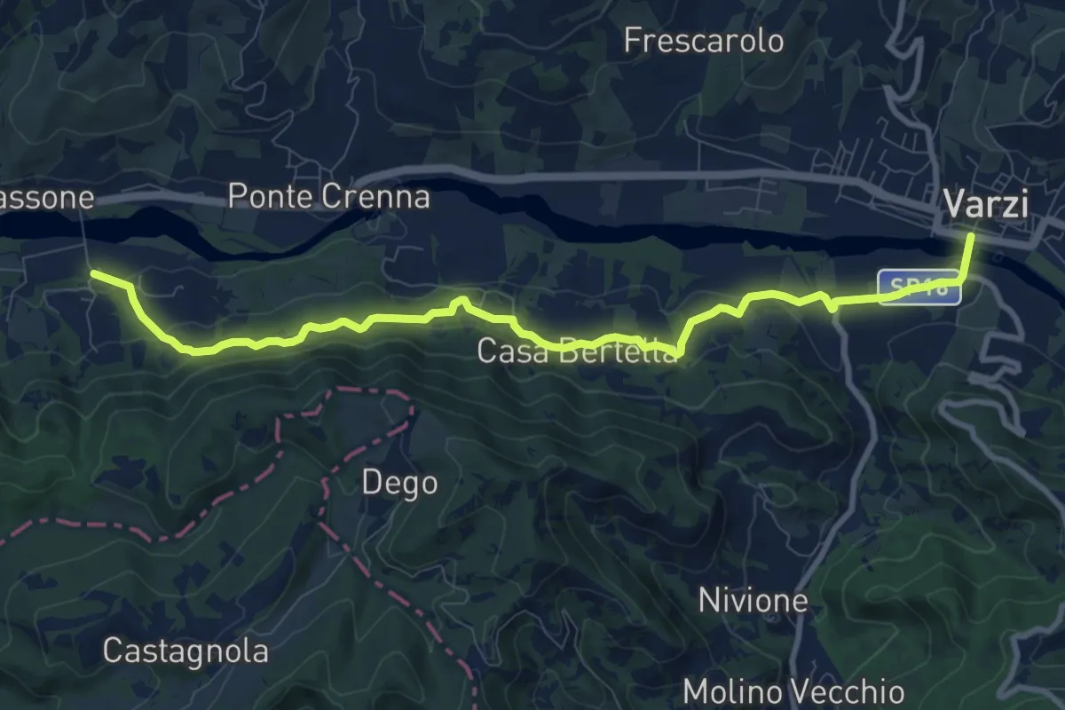
Medium · Trail
Casa Galeotti – Varzi
10.5 km · ↑ 355 m · 3 h 14 min · 4 km away
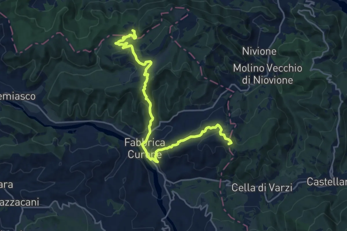
Medium · Summit
Bivio ALA103-ALA104 – Bivio ALA104-PVA104
16.0 km · ↑ 777 m · 5 h 28 min · 4 km away
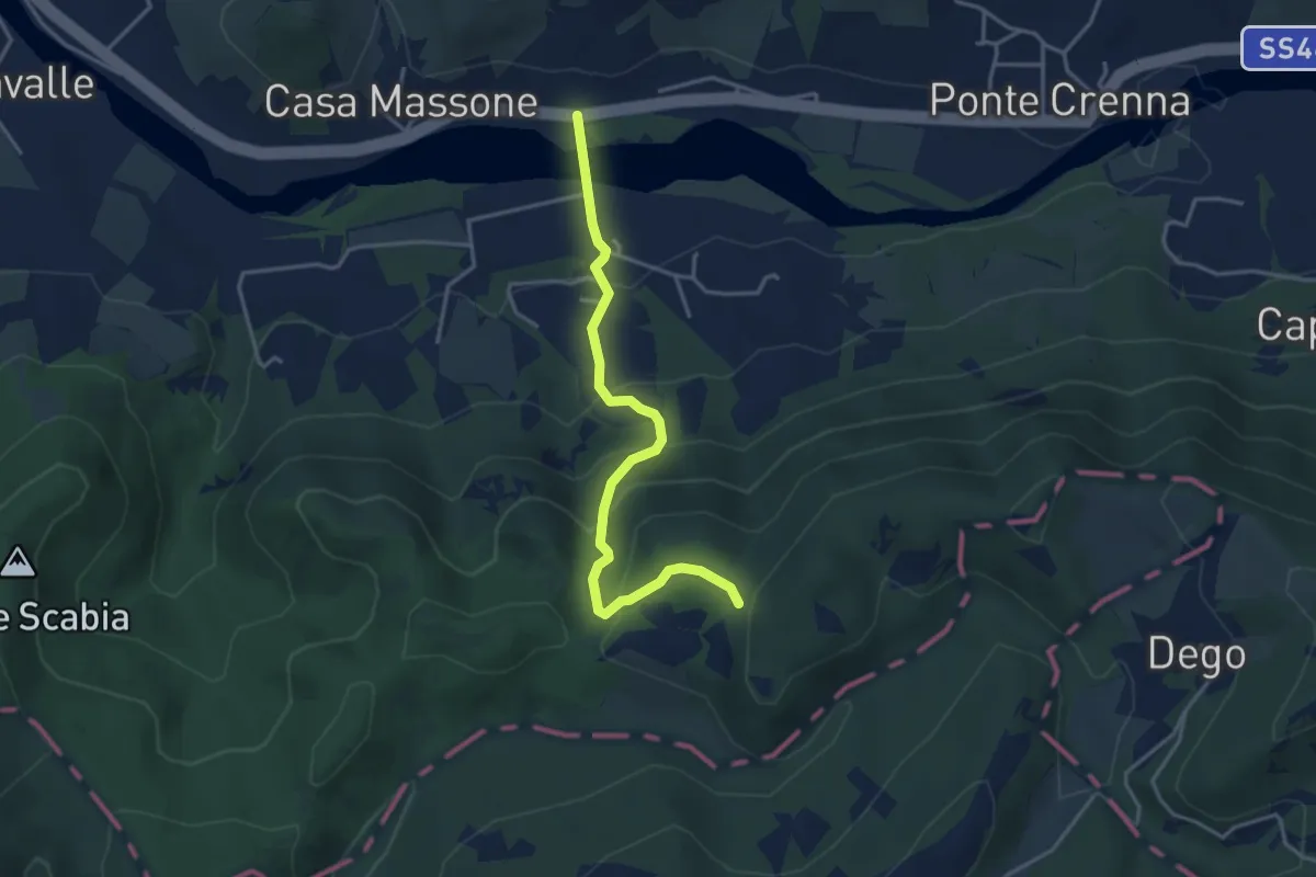
Easy · Trail
Casa Galeotti – Sentiero 103
3.9 km · ↑ 275 m · 1 h 31 min · 4 km away
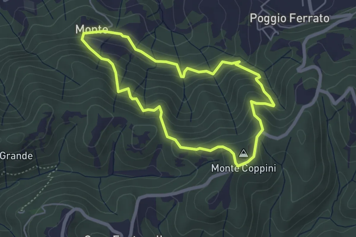
Easy · Summit
Anello di Monte Coppini
4.0 km · ↑ 287 m · 1 h 37 min · 5 km away
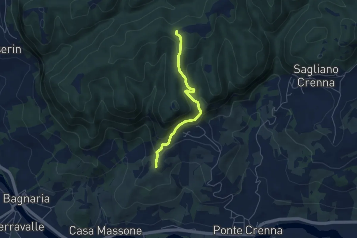
Easy · Summit
Casa Massone – Sentiero 144
4.4 km · ↑ 301 m · 1 h 41 min · 5 km away
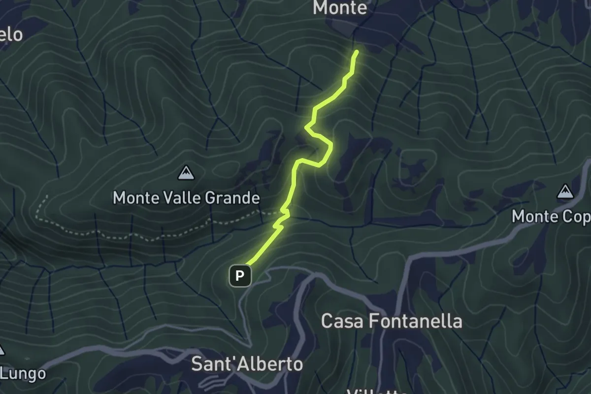
Medium · Trail
Sant'Alberto – Sentiero 182
2.9 km · ↑ 213 m · 1 h 9 min · 5 km away
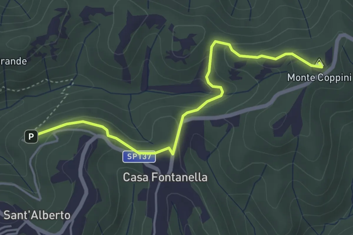
Easy · Summit
Sant'Alberto – Sant'Albano
4.3 km · ↑ 175 m · 1 h 23 min · 5 km away
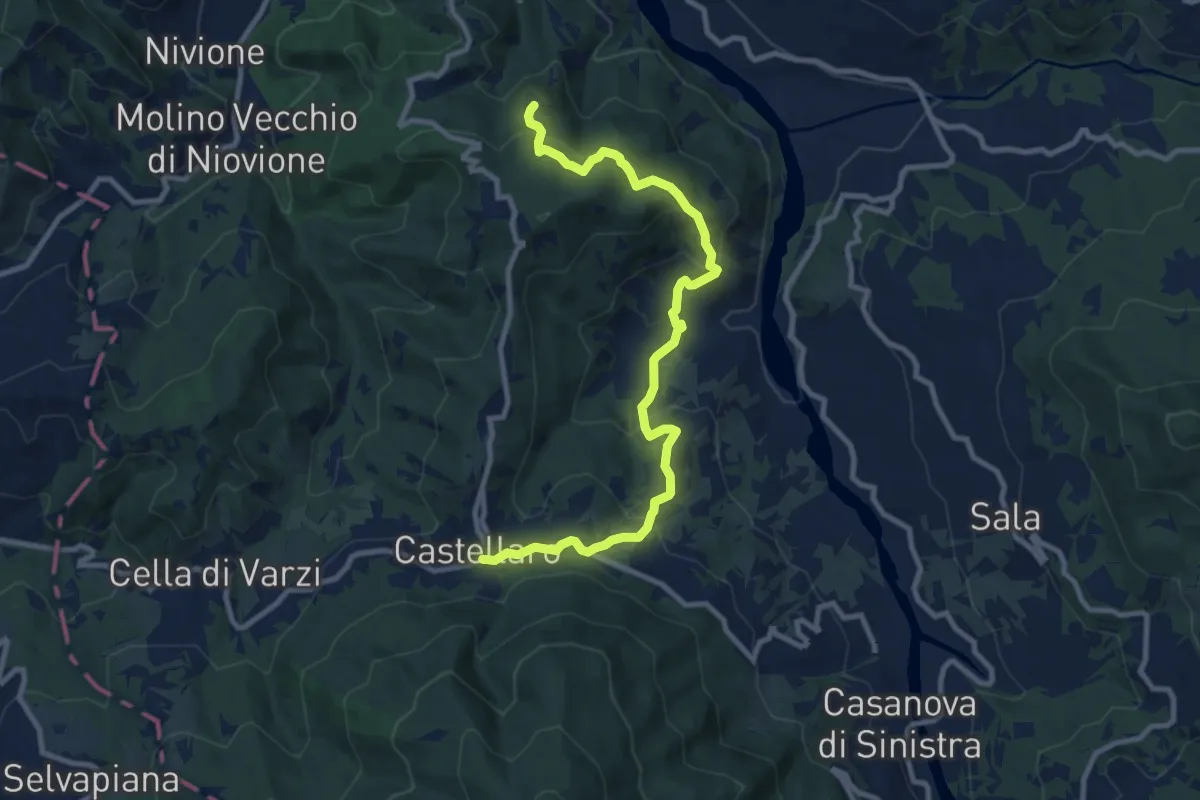
Medium · Trail
Sentiero del Grillo
11.0 km · ↑ 652 m · 4 h 1 min · 5 km away
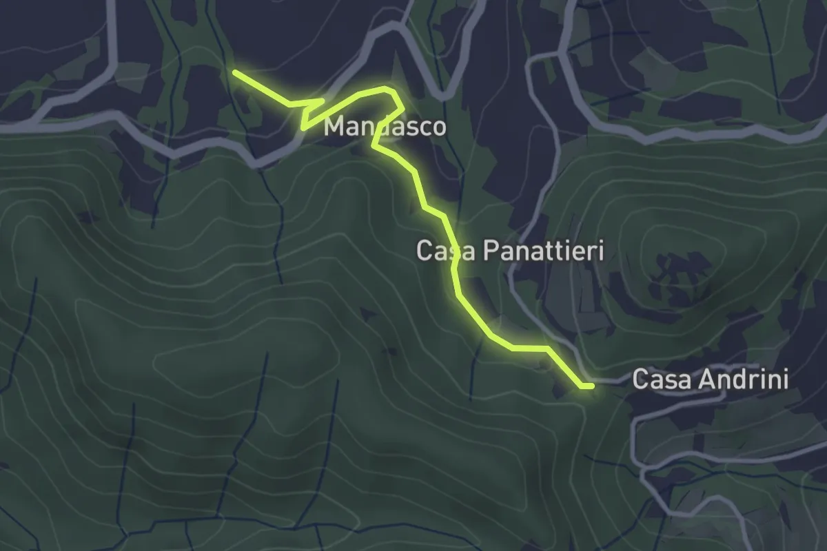
Easy · Trail
Incrocio Castello Verde CAI 184 – Sentiero 157
3.0 km · ↑ 119 m · 58 min · 5 km away
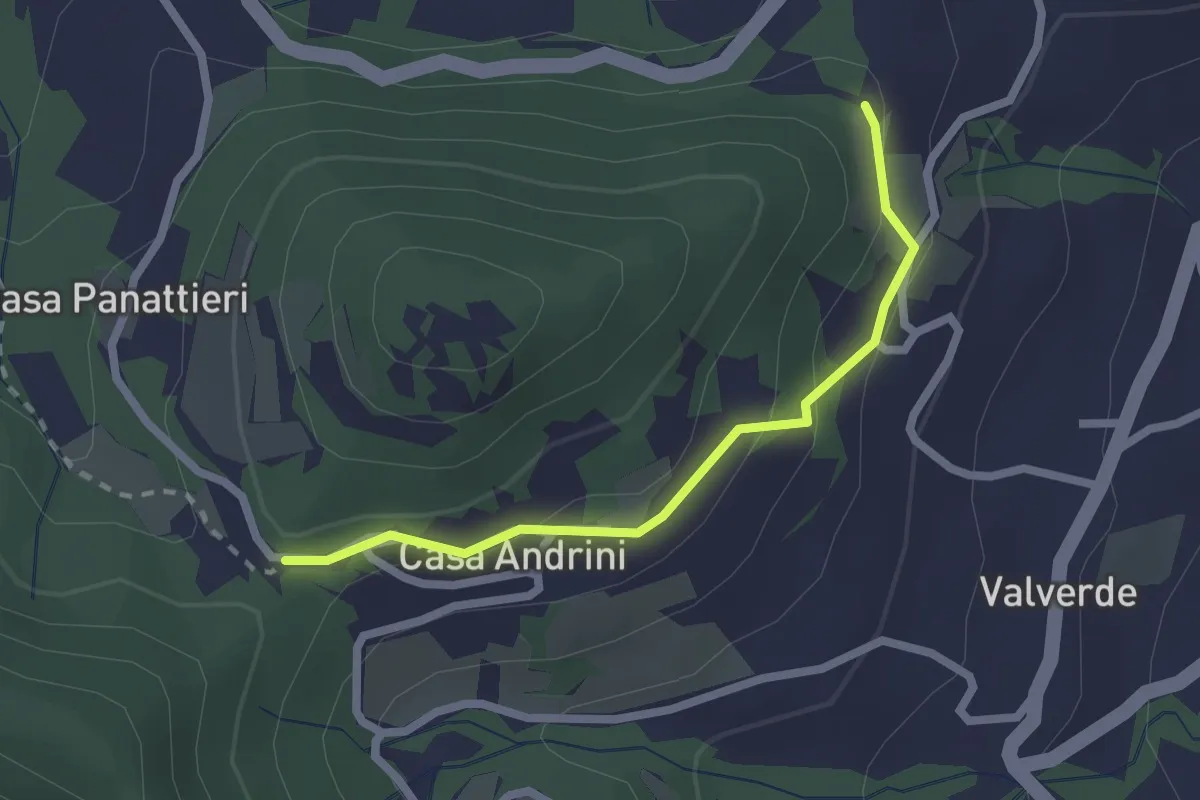
Easy · Trail
Cà Andrini – Castello verde
2.2 km · ↑ 86 m · 42 min · 5 km away
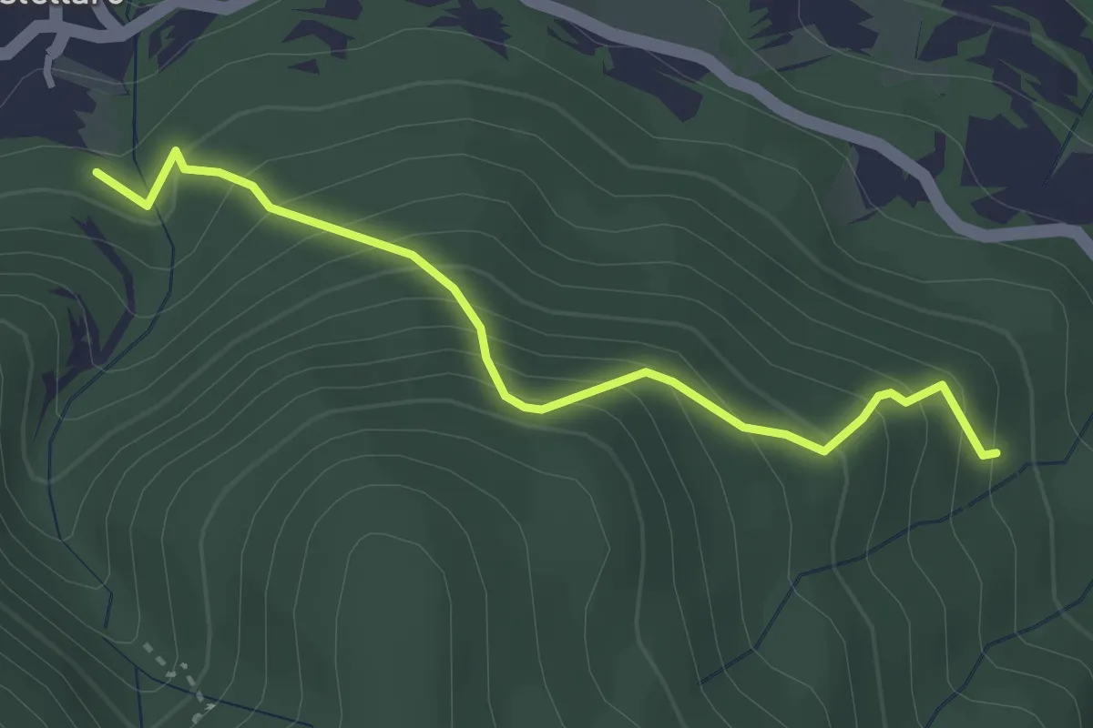
Medium · Trail
CAI 102 – CAI 108A
3.2 km · ↑ 389 m · 1 h 36 min · 5 km away
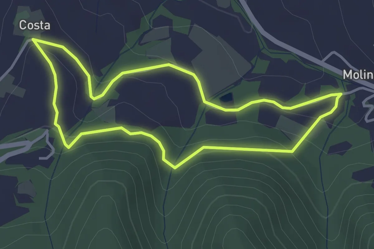
Easy · Trail
Anello Poggio Ferrato-Molino Cassano
3.1 km · ↑ 108 m · 1 h · 5 km away
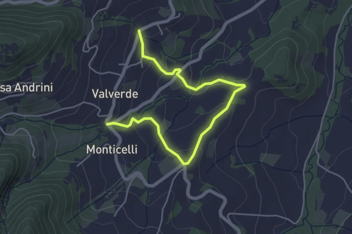
Easy · Trail
Mombelli – Casa Balestrieri
4.8 km · ↑ 168 m · 1 h 29 min · 6 km away
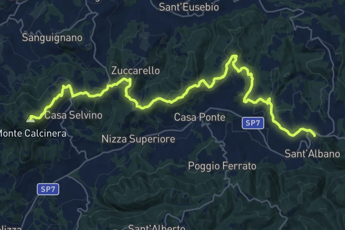
Demanding · Summit
Sant’Albano-Loc. Costa Croce – Ponte Nizza ex Stazione ferroviaria
25.8 km · ↑ 911 m · 8 h 4 min · 6 km away
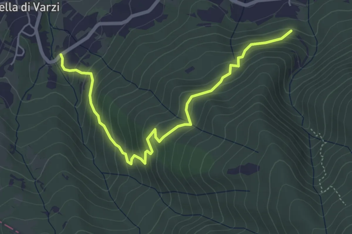
Medium · Trail
Cella – Incrocio CAI 102
5.4 km · ↑ 399 m · 2 h 9 min · 6 km away
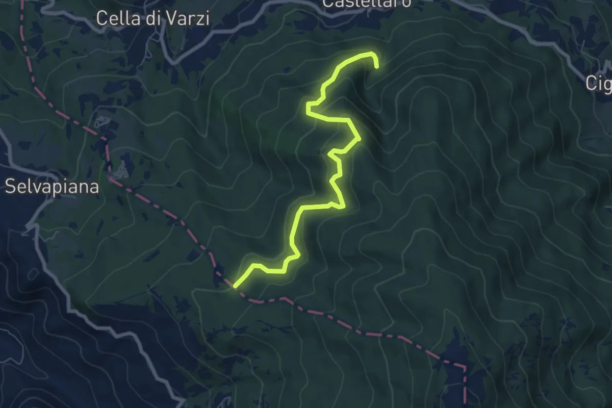
Medium · Trail
Acquedotto di Castellaro – Fontana Pian dei Laghi
7.0 km · ↑ 408 m · 2 h 32 min · 6 km away
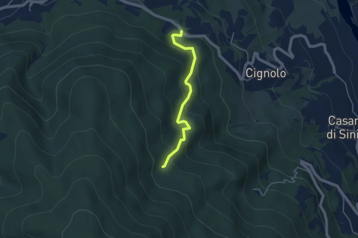
Easy · Trail
Incrocio per Cignolo – CAI 108
3.1 km · ↑ 274 m · 1 h 20 min · 6 km away
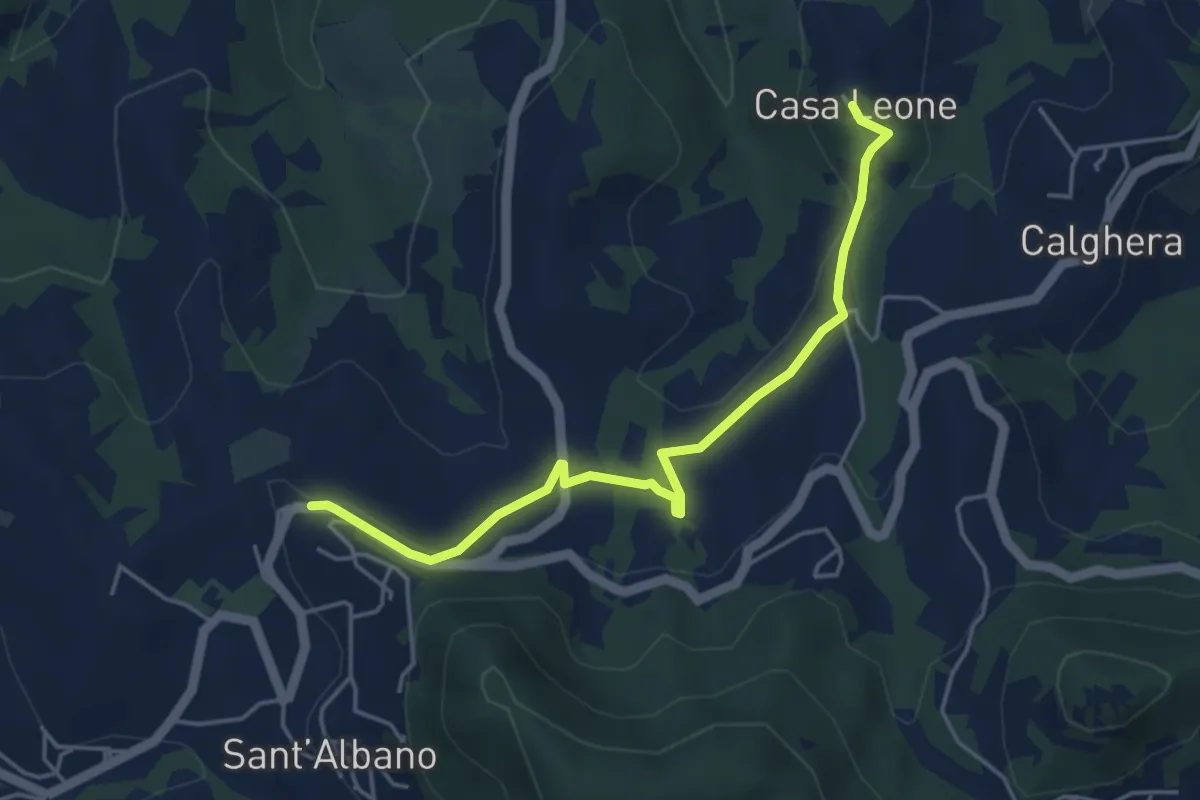
Easy · Trail
Sant’Albano – Casa Leone
4.8 km · ↑ 116 m · 1 h 23 min · 6 km away
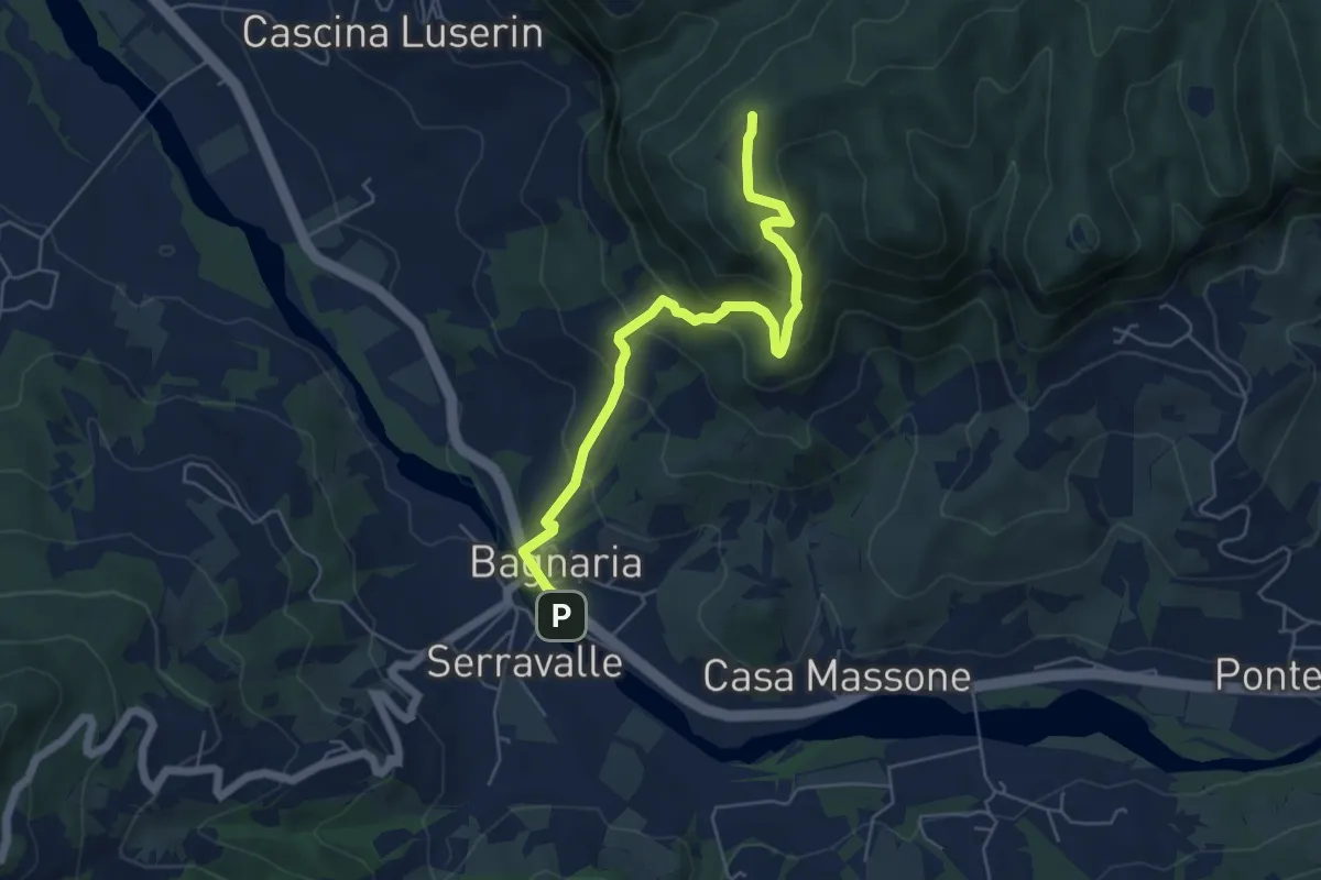
Medium · Summit
Bagnaria – Sant'Alberto (Abbazia)
5.8 km · ↑ 404 m · 2 h 14 min · 6 km away
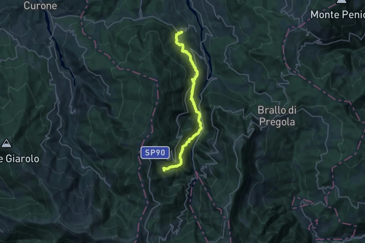
Demanding · Trail
Cignolo – Negruzzo
17.5 km · ↑ 1125 m · 6 h 34 min · 6 km away
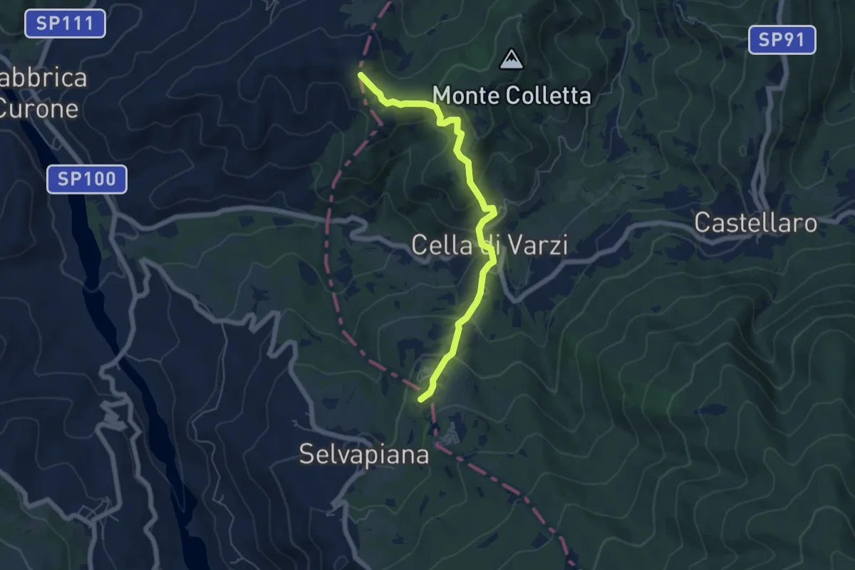
Easy · Summit
Incrocio M.te Caponega – Cappella della Costa
5.7 km · ↑ 300 m · 2 h · 6 km away
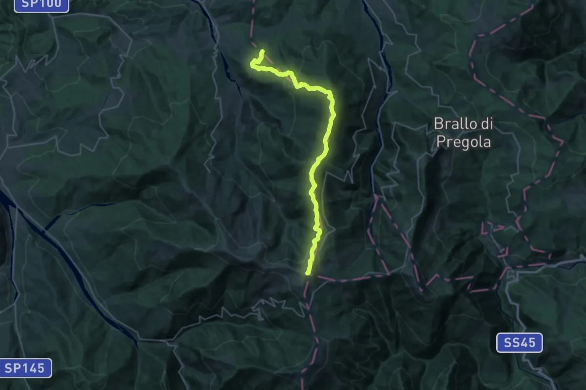
Demanding · Summit
Cappella della Costa – Rifugio Monte Chiappo, bivio ALA105-ALA200
26.6 km · ↑ 1311 m · 9 h 7 min · 6 km away
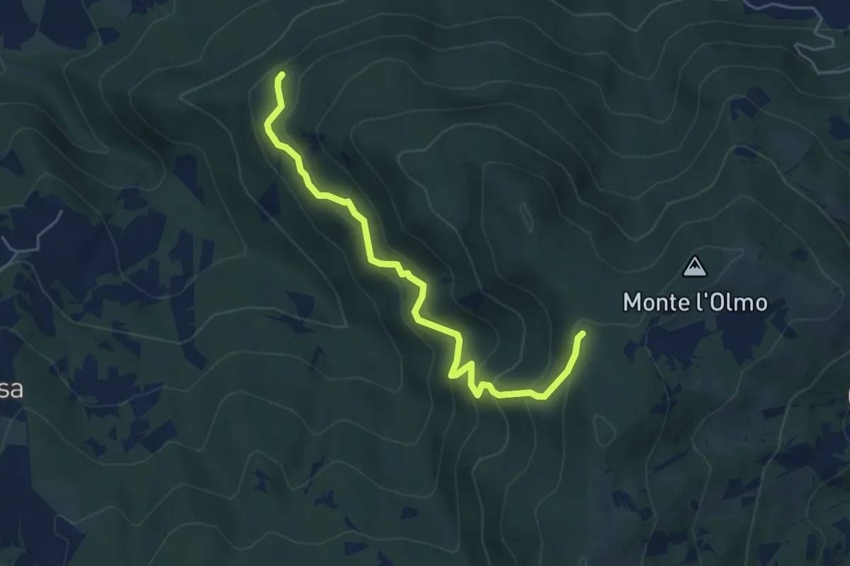
Medium · Trail
Incrocio CAI 208 – Incrocio CAI 208
5.1 km · ↑ 414 m · 2 h 6 min · 6 km away
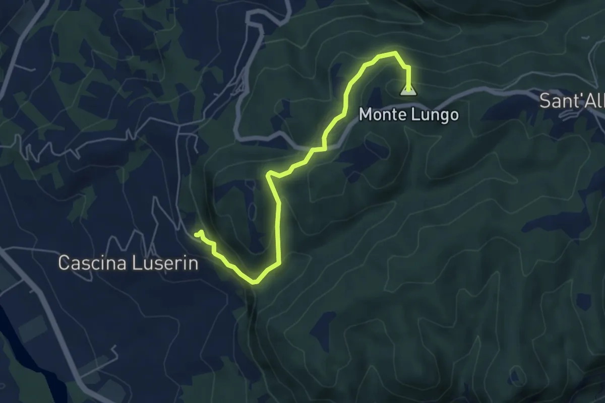
Easy · Summit
Vignola – Abbazia di S.Alberto
5.3 km · ↑ 308 m · 1 h 56 min · 6 km away
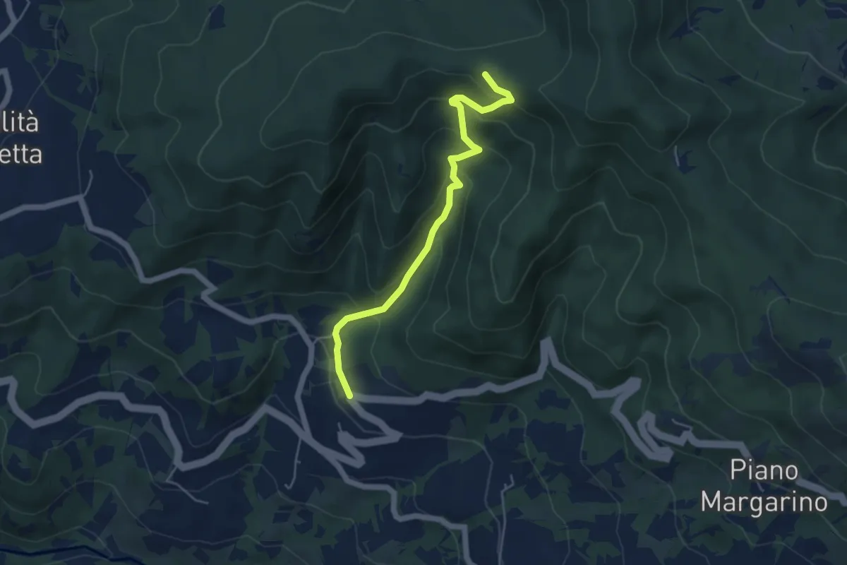
Easy · Trail
Sentiero A8 di Monte Alpe
4.8 km · ↑ 304 m · 1 h 47 min · 6 km away
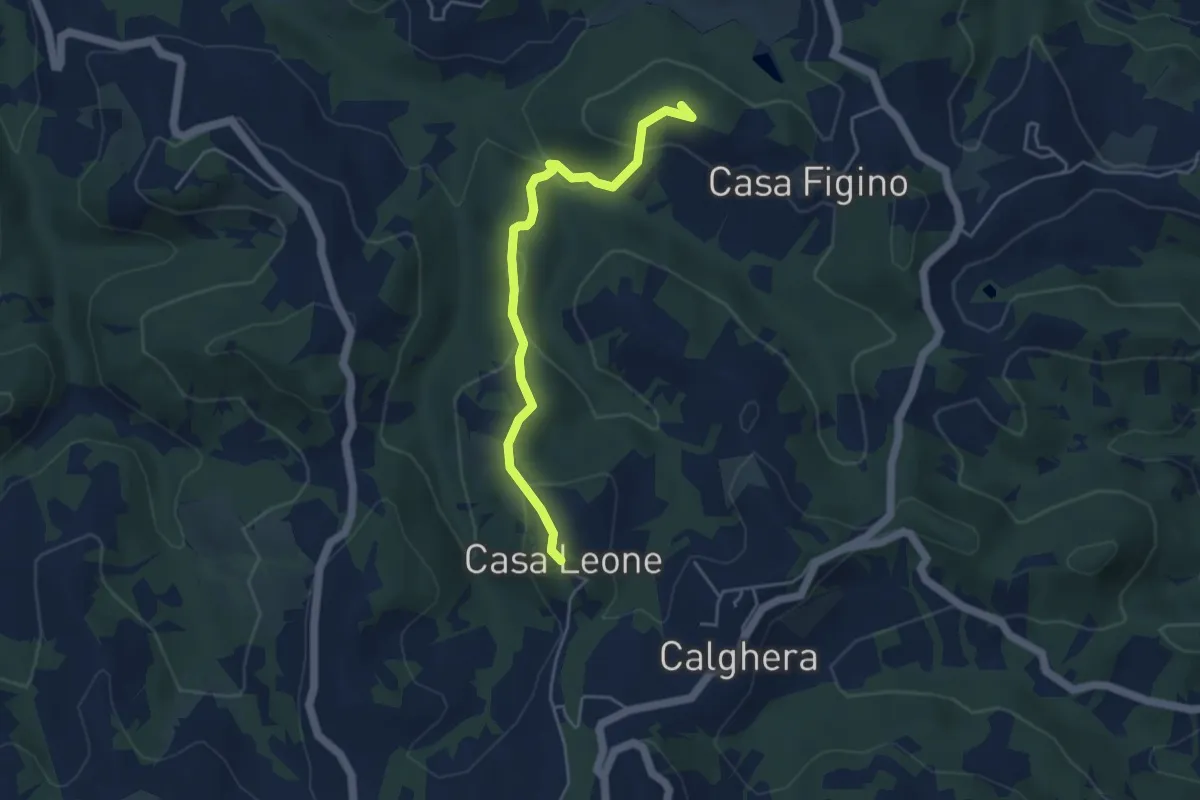
Easy · Summit
Casa Leone – Casa Figino
4.5 km · ↑ 194 m · 1 h 28 min · 7 km away
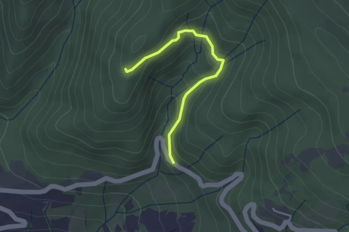
Easy · Trail
Sentiero A6 di Monte Alpe
2.7 km · ↑ 151 m · 58 min · 7 km away
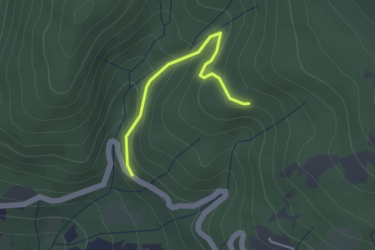
Easy · Trail
Sentiero A4 di Monte Alpe
2.3 km · ↑ 157 m · 53 min · 7 km away
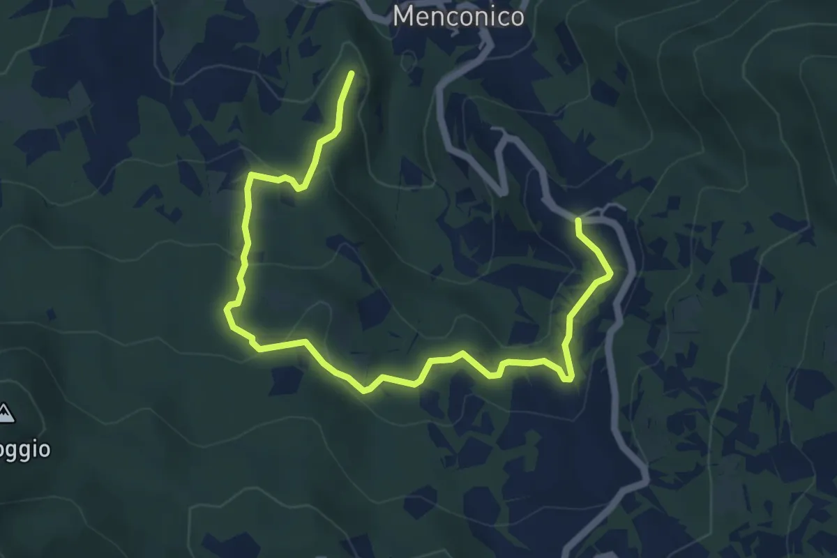
Easy · Trail
Carrobiolo – Bivio sentiero 137-Menconico
6.2 km · ↑ 244 m · 2 h · 7 km away
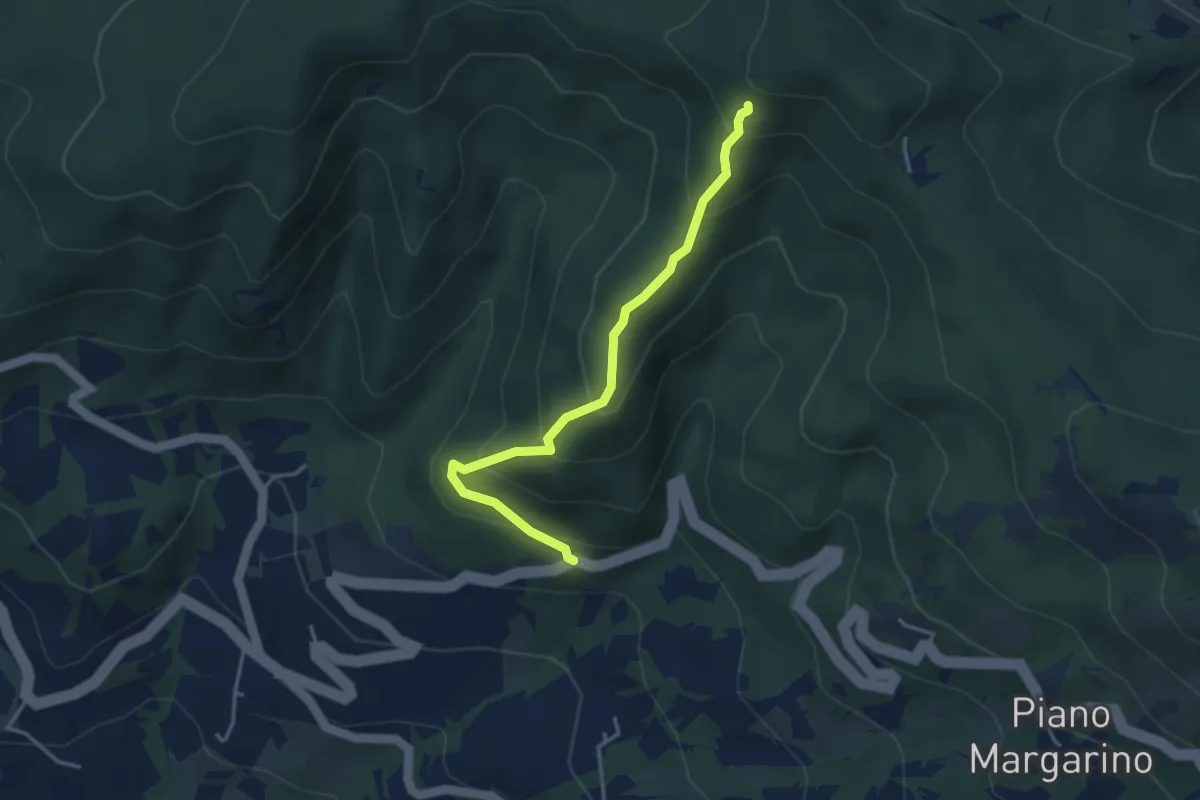
Medium · Trail
Sentiero A7 di Monte Alpe ( Sentiero del Bricchetto)
3.8 km · ↑ 328 m · 1 h 36 min · 7 km away
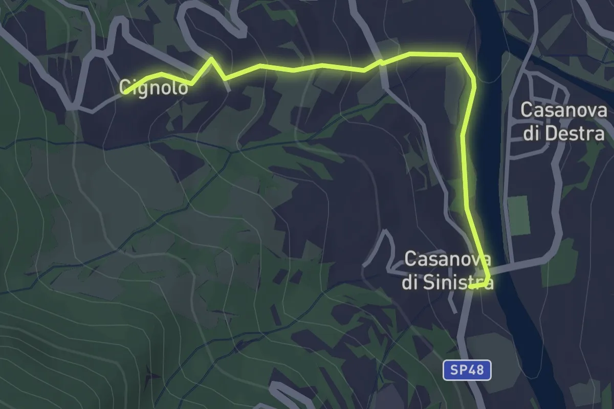
Easy · Trail
Casanova di Sinistra – Cignolo
3.0 km · ↑ 150 m · 1 h 2 min · 7 km away
Easy · Trail
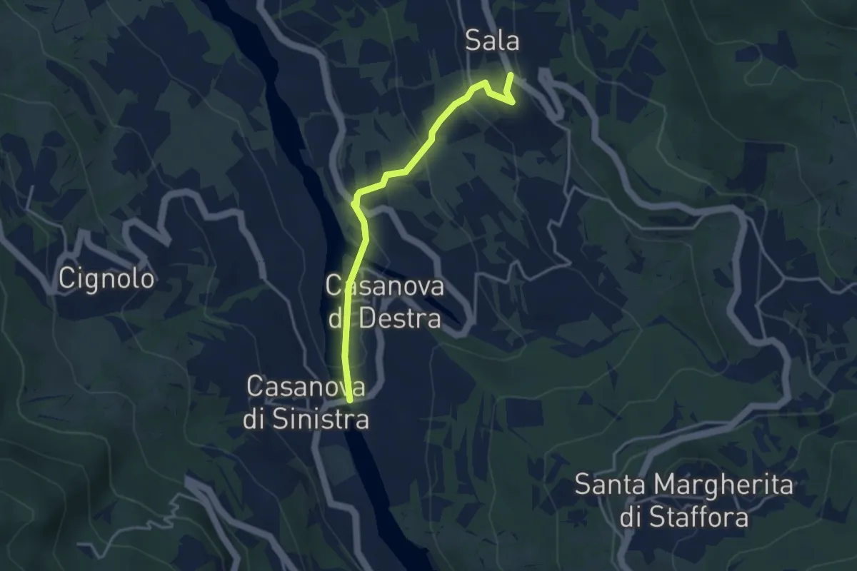
Casanova di Destra – Sala
3.3 km · ↑ 153 m · 1 h 7 min · 7 km away
Medium · Trail
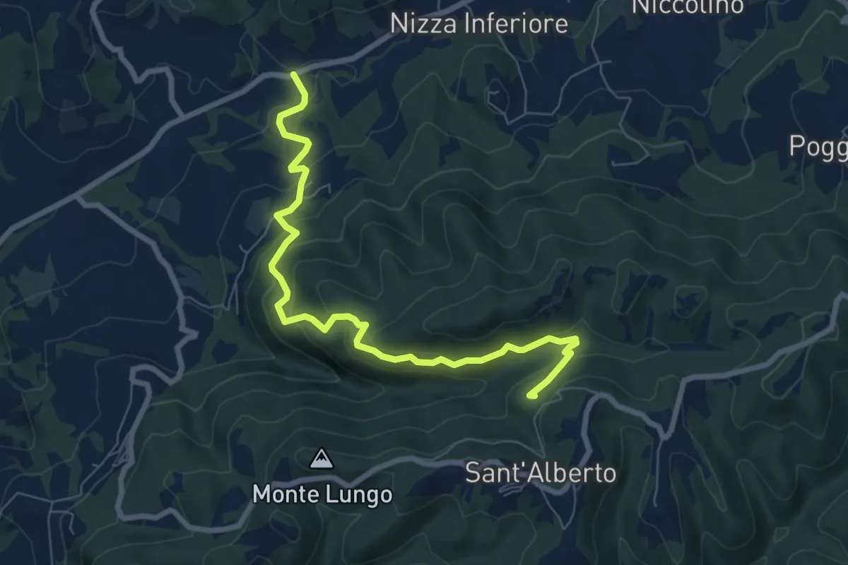
Sant'Alberto – Risaia
7.9 km · ↑ 511 m · 2 h 59 min · 7 km away
Easy · Trail
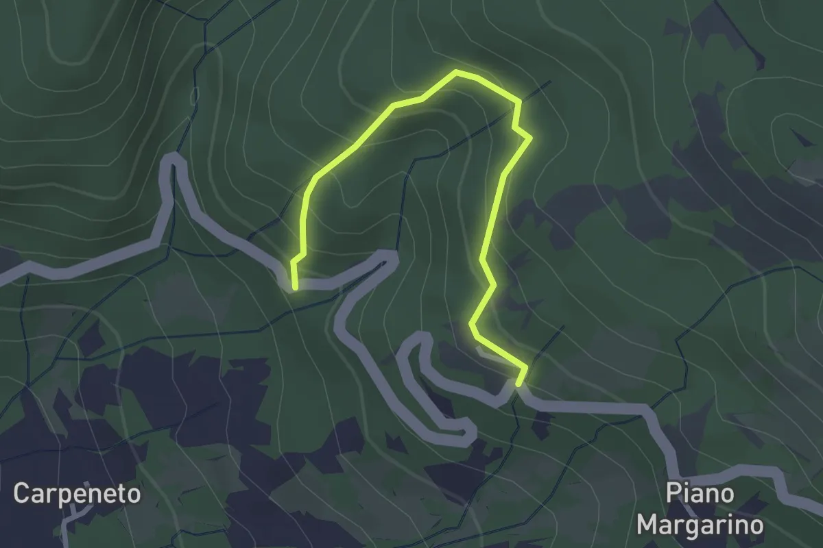
Sentiero A5 di Monte Alpe
2.8 km · ↑ 230 m · 1 h 9 min · 7 km away
Medium · Trail
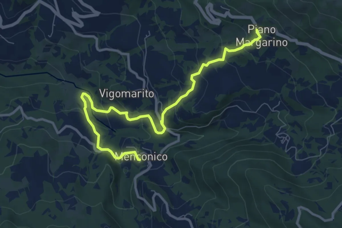
Menconico – Piano Margarino
8.5 km · ↑ 491 m · 3 h 4 min · 7 km away