Trails near Varzi
155 hikes starting within 15 km, nearest first.
Nearest first, page 2 of 4
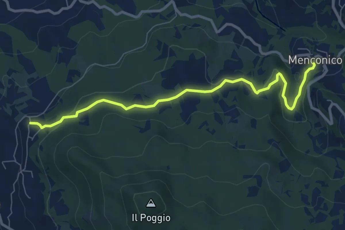
Easy · Trail
Menconico – Montemartino
6.9 km · ↑ 186 m · 2 h 3 min · 7 km away
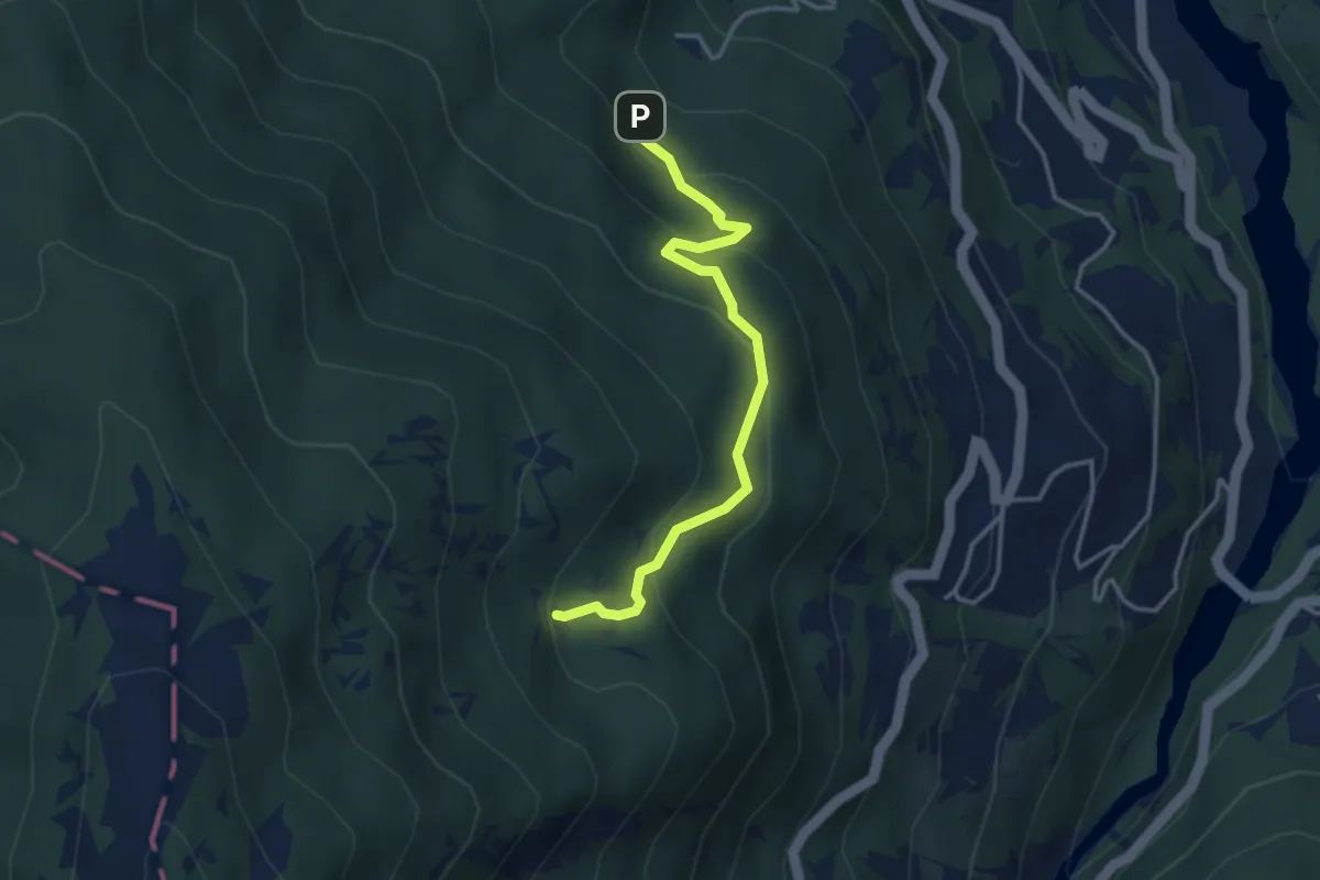
Easy · Cabin
Percorso 108 – Pian della Ciappa CAI 113
3.5 km · ↑ 210 m · 1 h 17 min · 7 km away
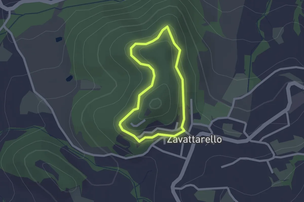
Easy · Trail
Anello di Zavattarello
1.6 km · ↑ 62 m · 32 min · 7 km away
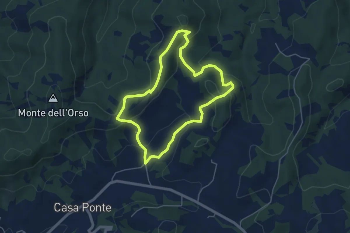
Medium · Summit
Anello di Cascina Serzego
4.0 km · ↑ 189 m · 1 h 24 min · 7 km away
Medium · Trail
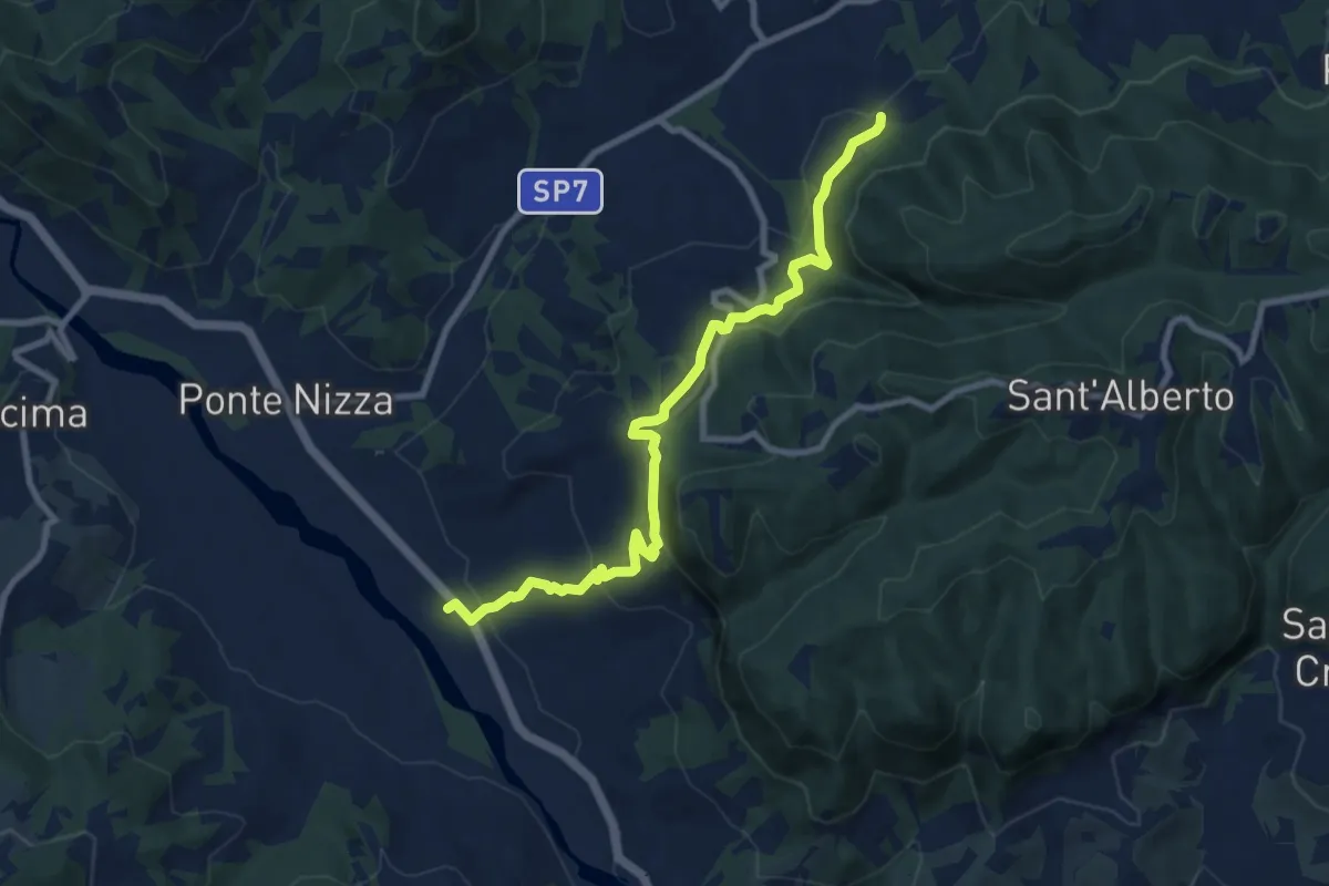
Molino del Conte – Carmelo
9.6 km · ↑ 405 m · 3 h 8 min · 7 km away
Medium · Summit
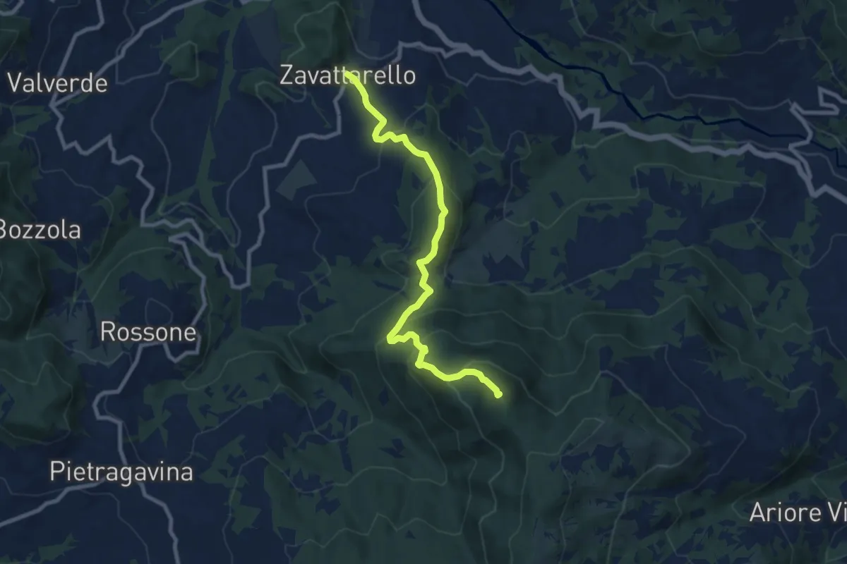
Zavattarello – Bivacco del Calenzone
9.0 km · ↑ 622 m · 3 h 28 min · 7 km away
Medium · Trail
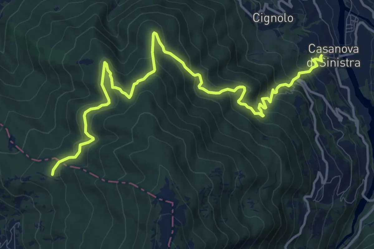
Incrocio CAI 105 AL – Casanova di Sinistra
14.0 km · ↑ 793 m · 5 h 1 min · 8 km away
Medium · Summit
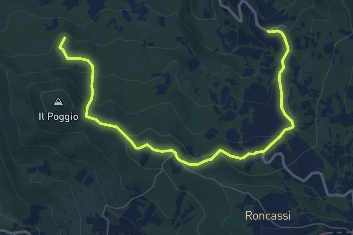
Carrobiolo – Bivio sentiero 137-Montemartino
8.3 km · ↑ 338 m · 2 h 42 min · 8 km away
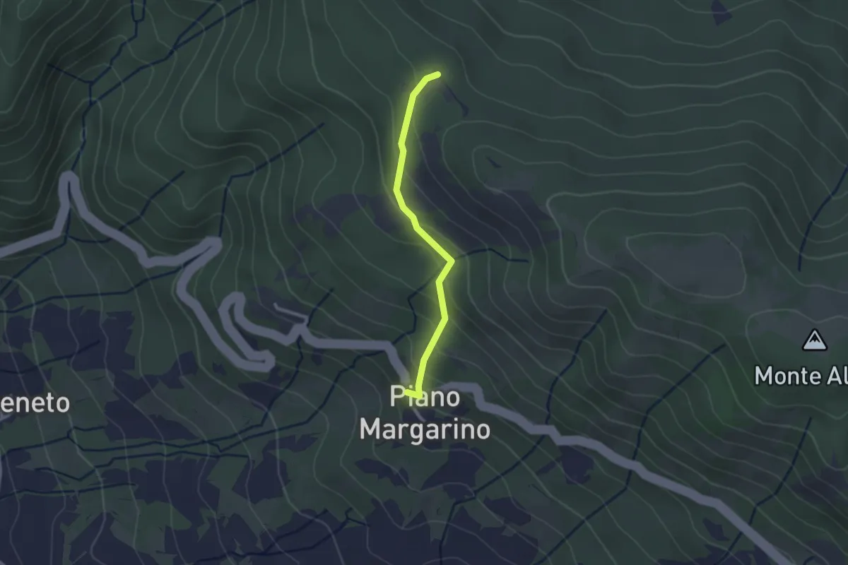
Easy · Trail
Piano Margarino – Strada Costa d'Alpe
2.2 km · ↑ 151 m · 51 min · 8 km away
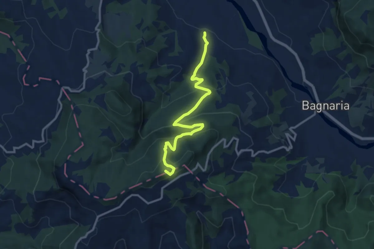
Medium · Summit
San Ponzo Semola – Guardamonte
8.2 km · ↑ 477 m · 2 h 59 min · 8 km away
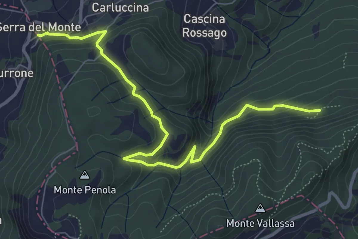
Medium · Trail
Grotte di San Ponzo – Serra del Monte
7.3 km · ↑ 325 m · 2 h 25 min · 8 km away
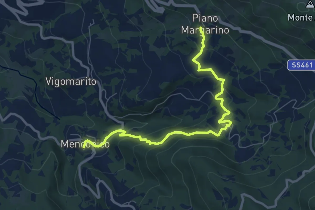
Medium · Trail
Piano Margarino – Menconico
7.5 km · ↑ 499 m · 2 h 51 min · 8 km away
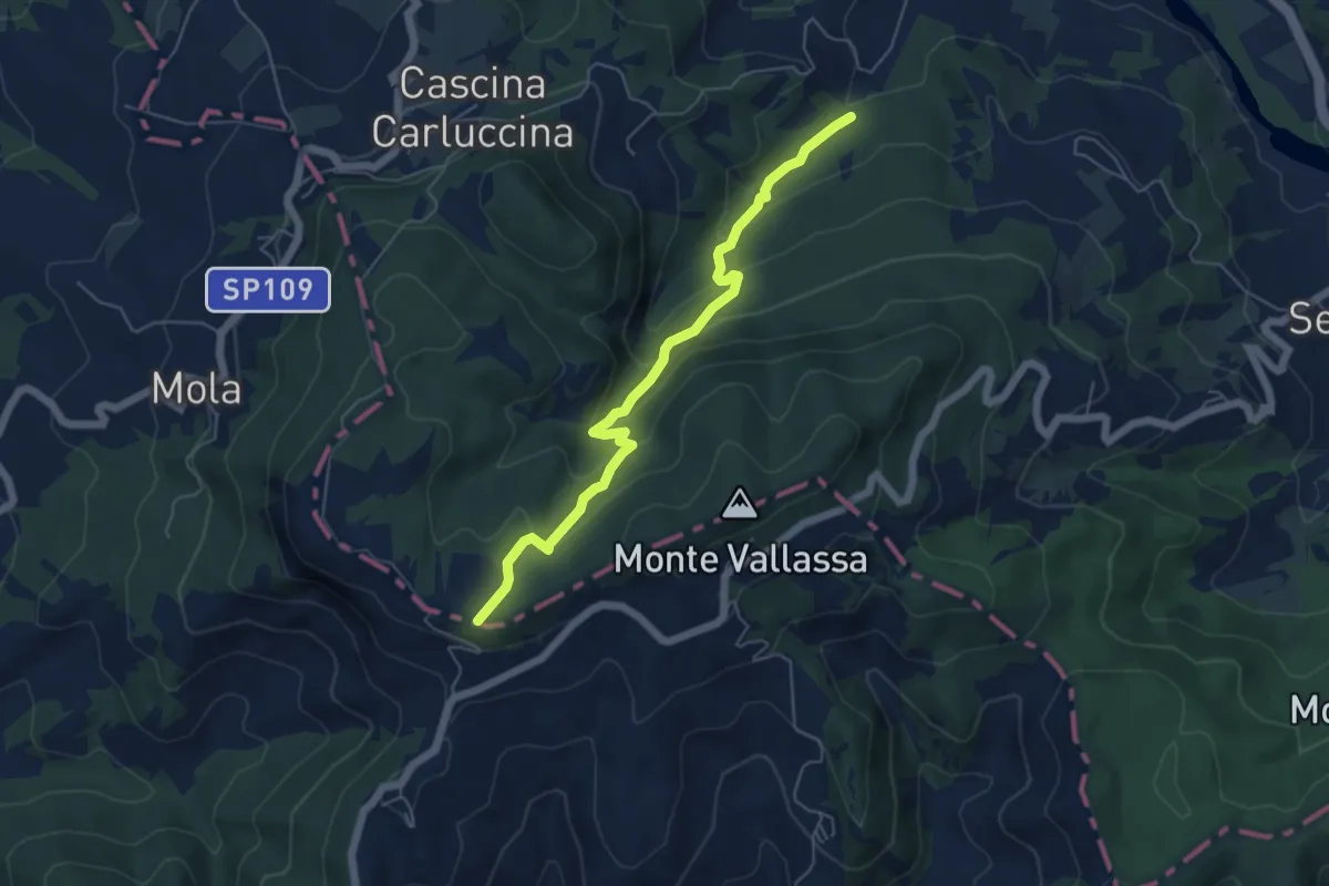
Medium · Trail
Planetario e Osservatorio Astronomico Giuseppe Giacomotti – Percorso 107
5.8 km · ↑ 343 m · 2 h 6 min · 8 km away
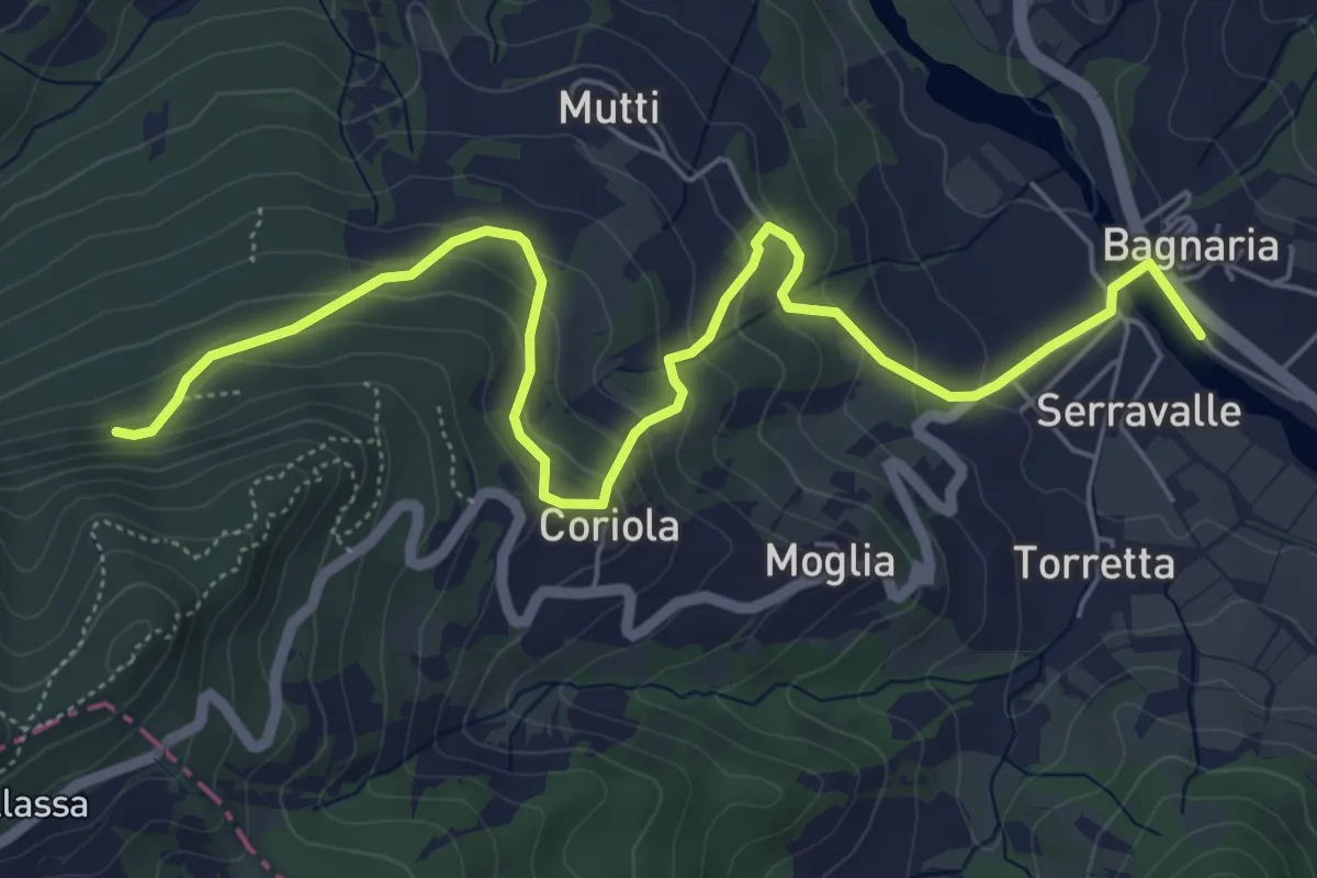
Medium · Trail
Bagnaria – Grotte di San Ponzo
7.2 km · ↑ 382 m · 2 h 32 min · 8 km away
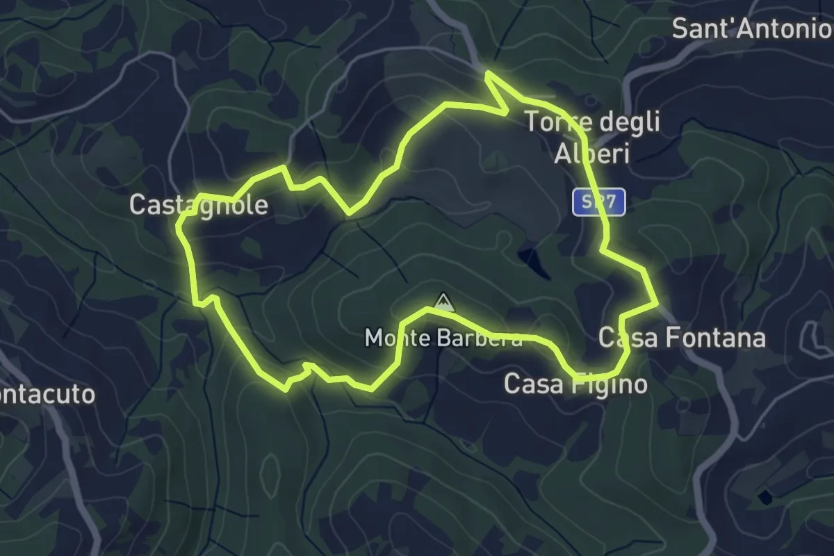
Easy · Summit
Anello Monte Barbera
5.0 km · ↑ 189 m · 1 h 39 min · 8 km away
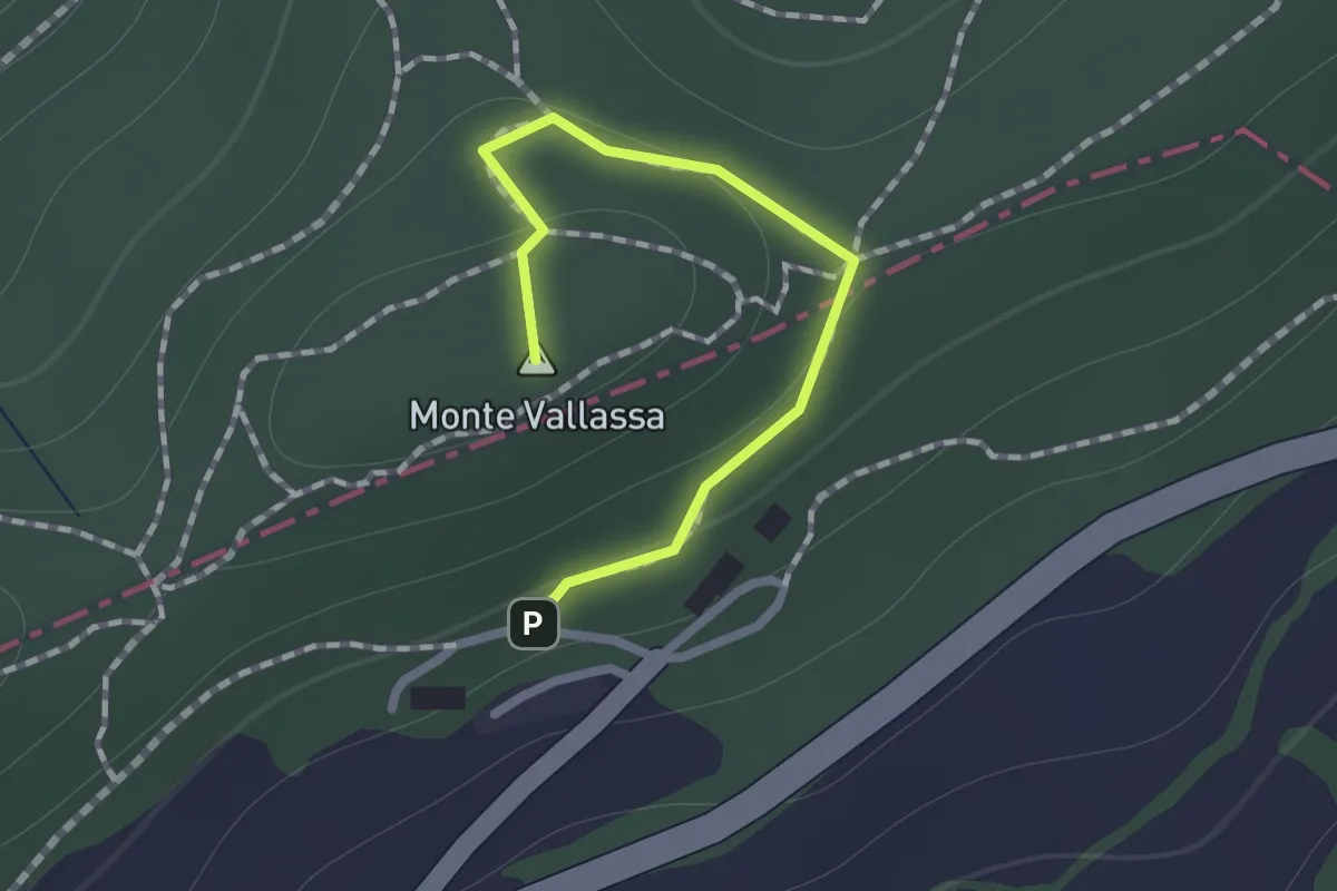
Easy · Summit
Guardamonte – Percorso 103
0.9 km · ↑ 24 m · 17 min · 8 km away
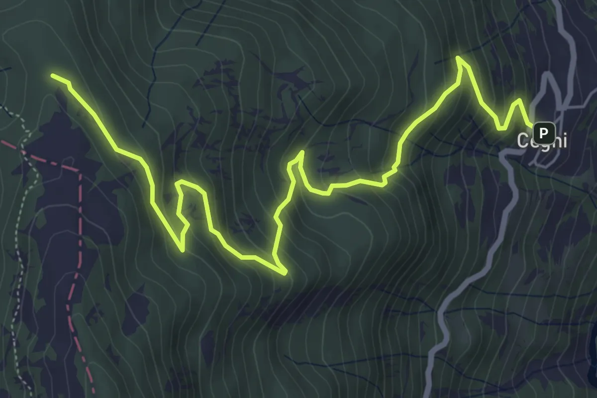
Medium · Cabin
Cegni – Rifugio Pian della Mora
7.7 km · ↑ 536 m · 2 h 59 min · 8 km away
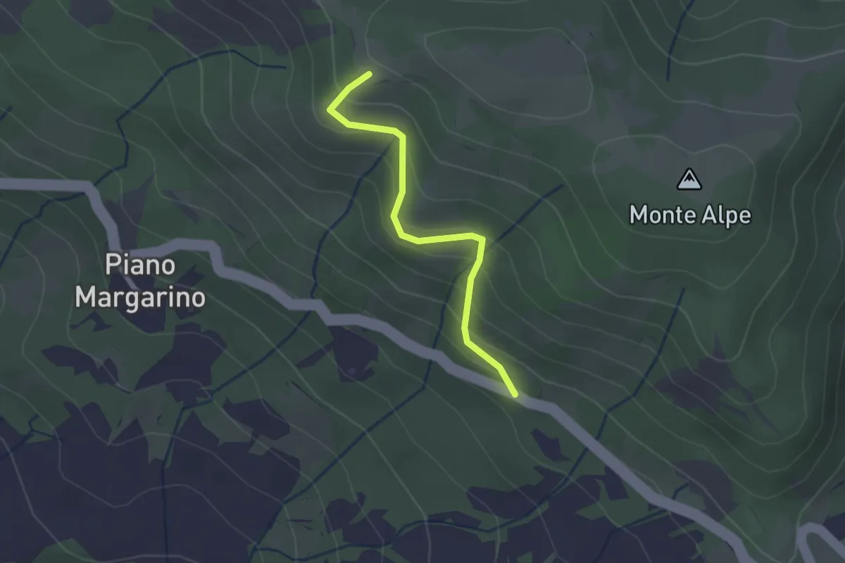
Easy · Trail
Percorso 101 (Belvedere-panchina) – SS461
2.0 km · ↑ 167 m · 51 min · 8 km away
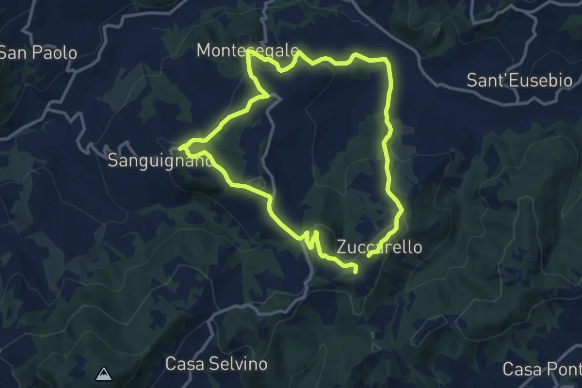
Medium · Summit
Anello Fornace Sud
8.2 km · ↑ 331 m · 2 h 46 min · 8 km away
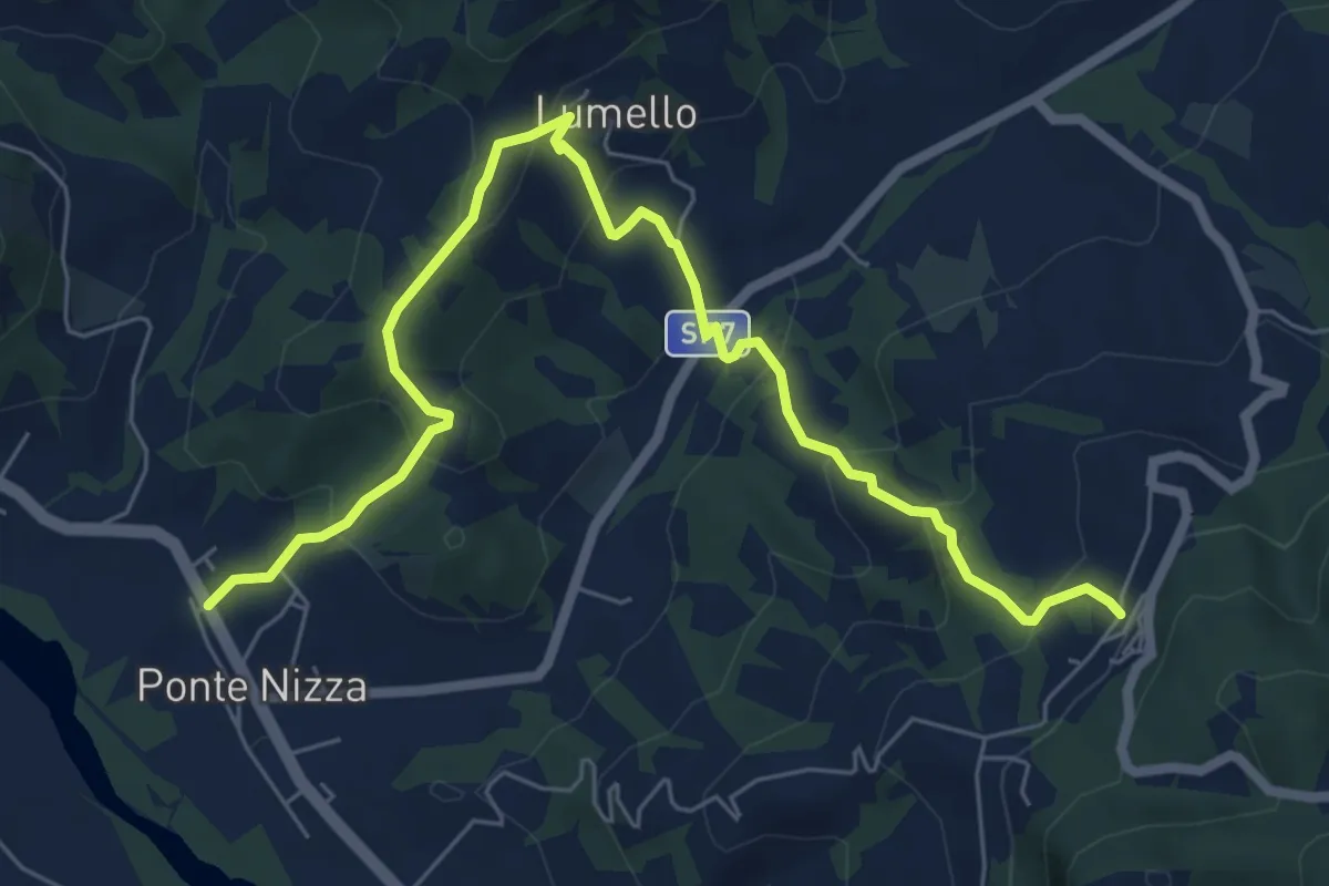
Medium · Trail
Ponte Nizza – Pizzocorno
8.1 km · ↑ 437 m · 2 h 52 min · 9 km away
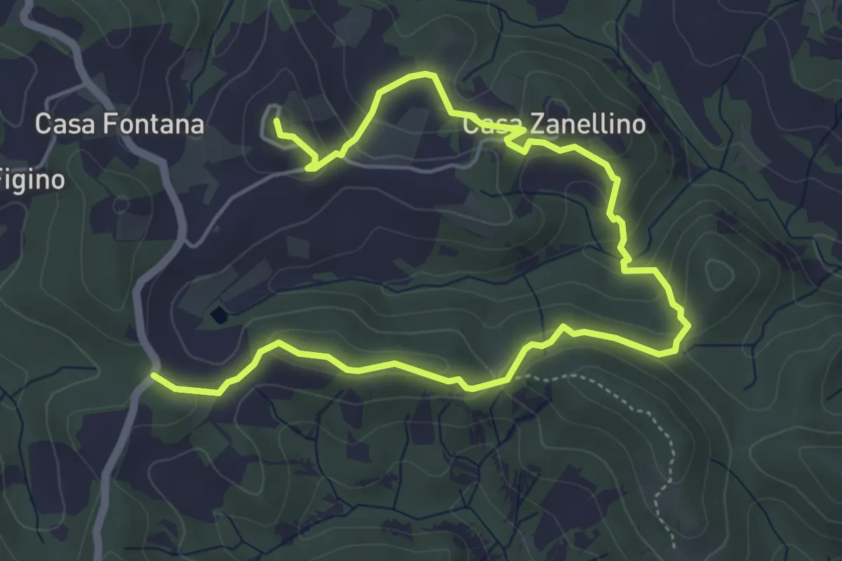
Easy · Trail
Anello Cà d'Agosto
7.2 km · ↑ 259 m · 2 h 16 min · 9 km away
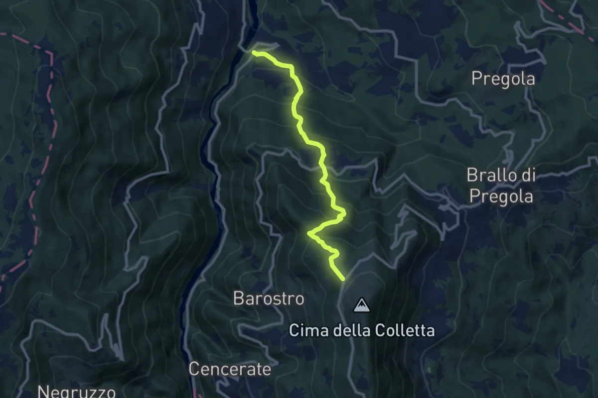
Medium · Trail
Fego – Rifugio Nassano
8.1 km · ↑ 739 m · 3 h 31 min · 9 km away
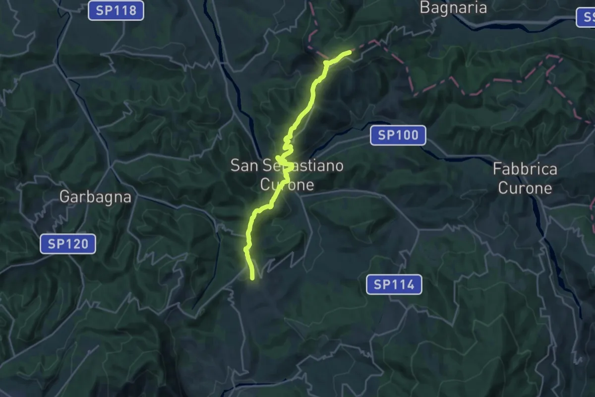
Demanding · Trail
Dernice (bivio ALA139-ALA155) – Gremiasco, bivio ALA103-ALA155
18.3 km · ↑ 776 m · 6 h · 9 km away
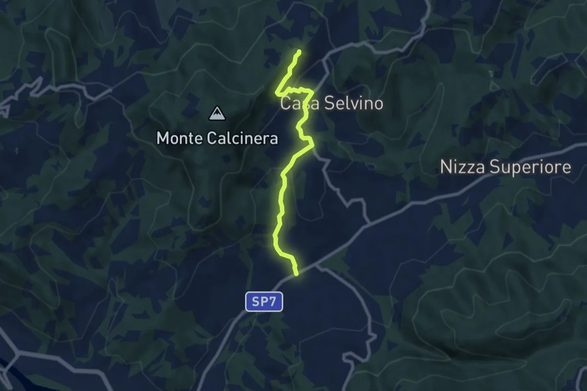
Easy · Trail
Casa Gallotti – Trebbiano Superiore
6.1 km · ↑ 243 m · 1 h 58 min · 9 km away
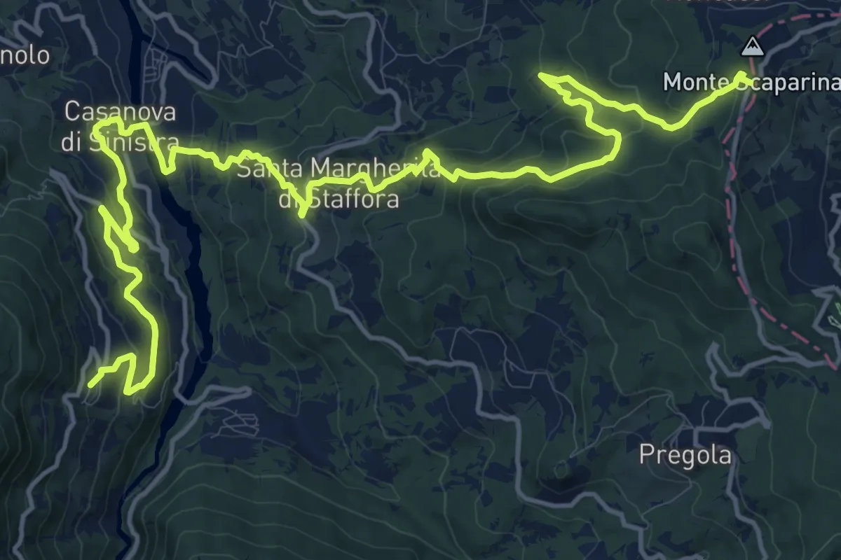
Demanding · Trail
Cegni – Passo Scaparina
20.4 km · ↑ 1199 m · 7 h 25 min · 9 km away
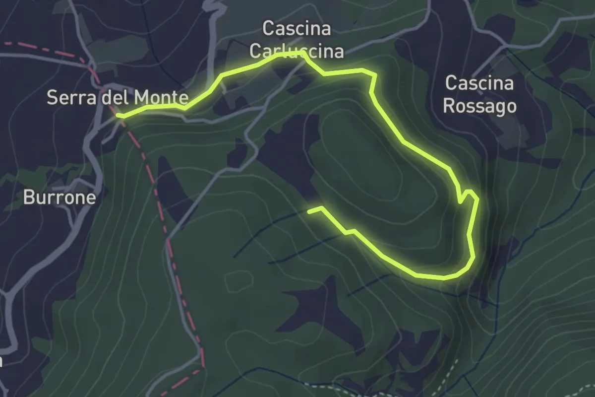
Easy · Trail
Serra del Monte – Percorso 195
4.7 km · ↑ 266 m · 1 h 41 min · 9 km away
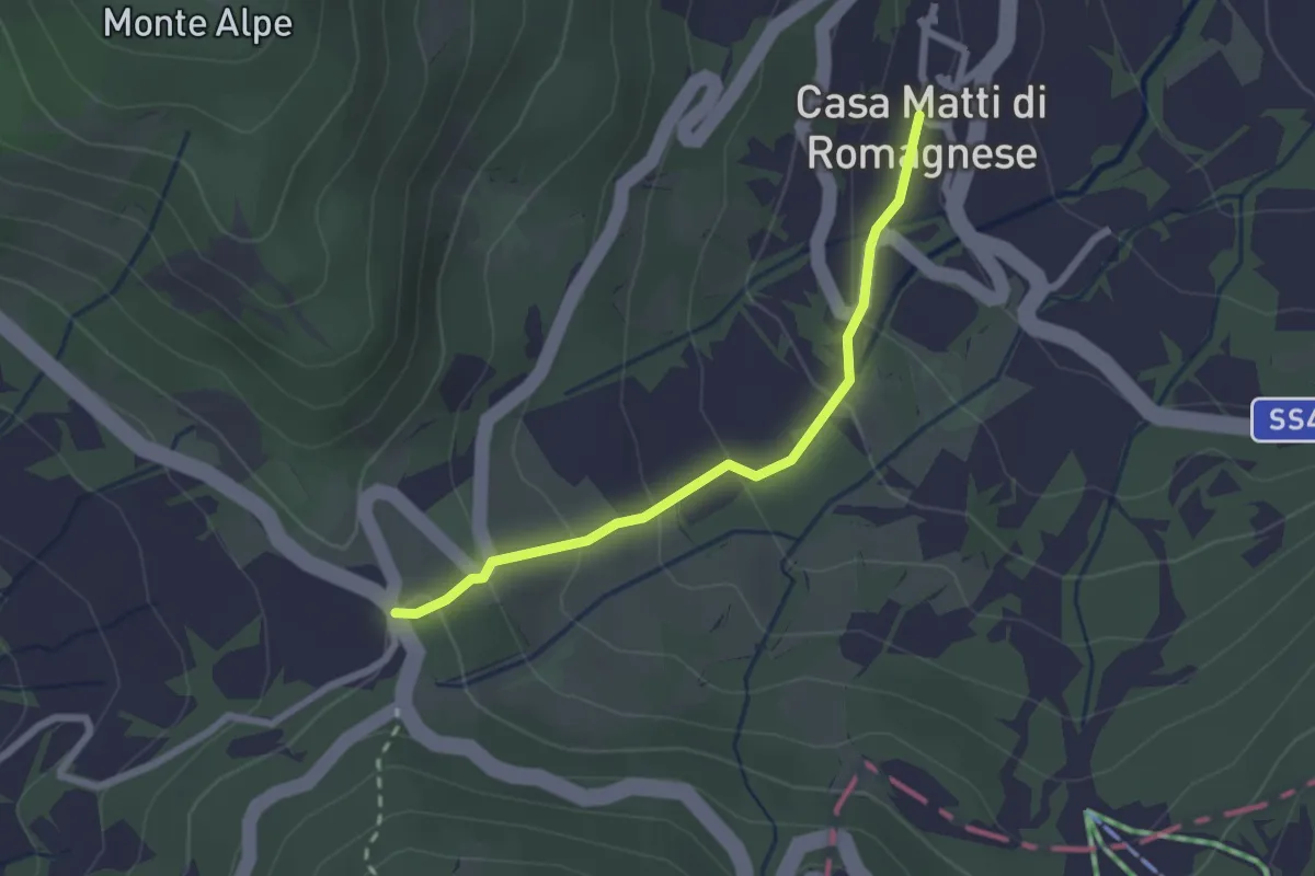
Easy · Trail
Tre Passi – Casa Matti
2.3 km · ↑ 123 m · 48 min · 9 km away
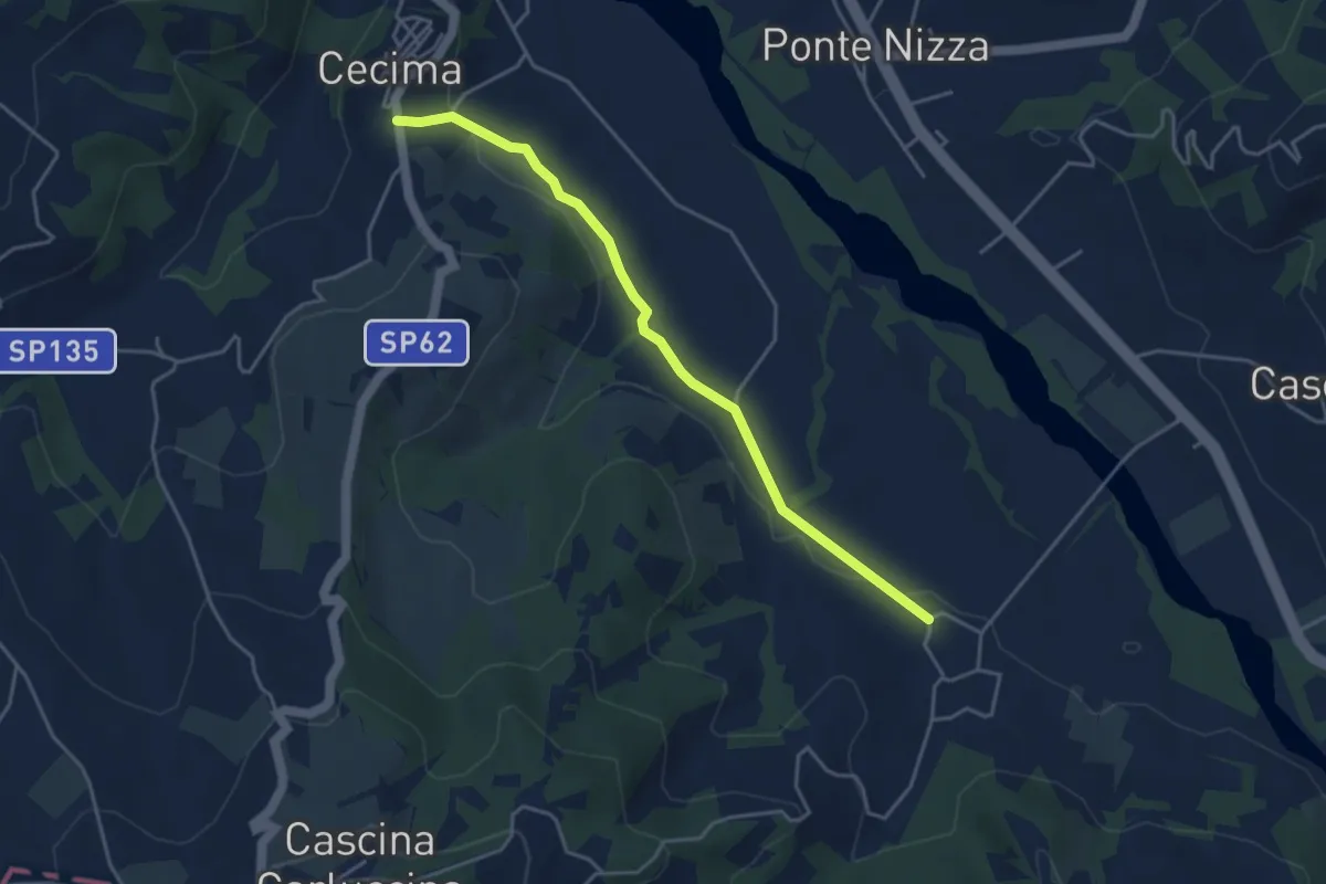
Easy · Trail
San Ponzo Semola – Cecima
4.3 km · ↑ 53 m · 1 h 8 min · 10 km away
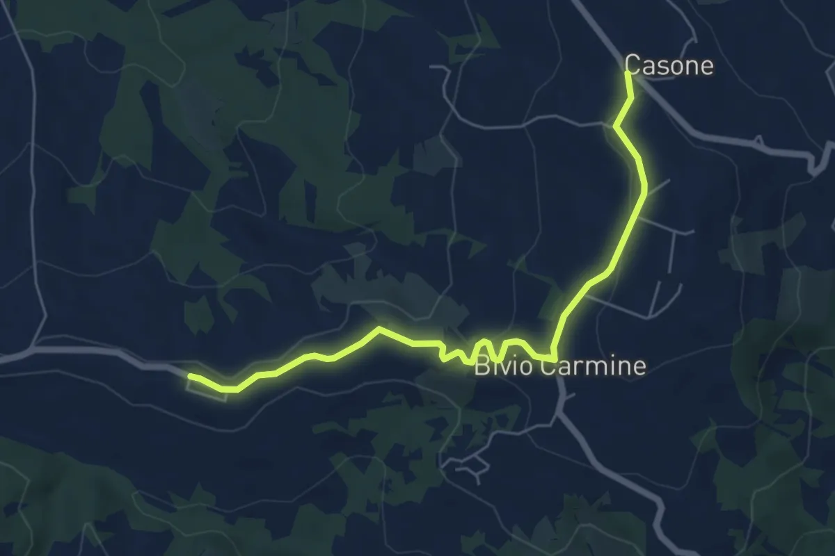
Easy · Trail
Passo del Carmine – Costa Trentini
5.9 km · ↑ 120 m · 1 h 39 min · 10 km away
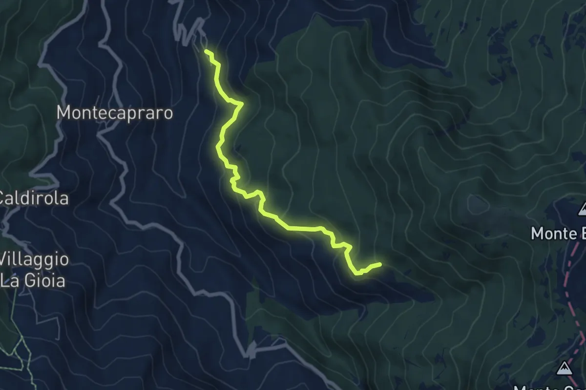
Medium · Trail
Frazione Lunassi – Bivio ALA111 presso Rio Stassone
6.2 km · ↑ 437 m · 2 h 24 min · 10 km away
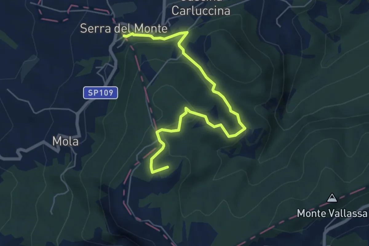
Easy · Summit
Serra del Monte – Ca' del Monte
5.7 km · ↑ 229 m · 1 h 50 min · 10 km away
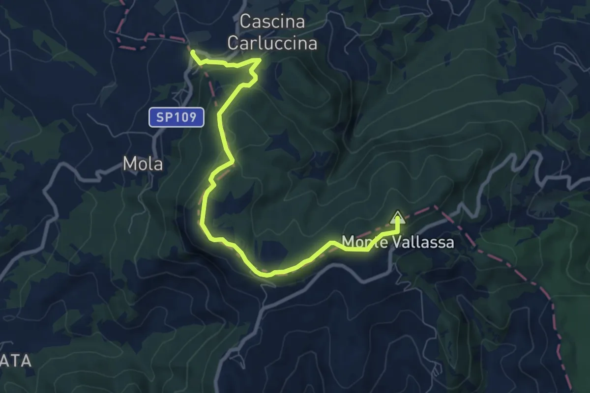
Medium · Summit
Serra del Monte, bivio ALA102-ALA103-DPVAXXX0 – Cascina Guardamonte, bivio ALA103-DPVA195
8.2 km · ↑ 283 m · 2 h 34 min · 10 km away
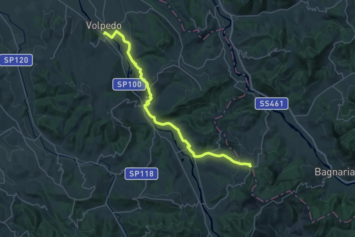
Demanding · Trail
Volpedo, bivio ALA101-ALA102 – Serra del Monte, bivio ALA102-ALA103
25.0 km · ↑ 548 m · 7 h 5 min · 10 km away
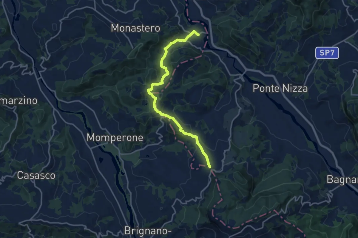
Medium · Trail
Frazione Serra del Monte, bivio ALA102-ALA126 – Frazione Biagasco, Sacrario di Biagasco
12.6 km · ↑ 415 m · 3 h 53 min · 10 km away
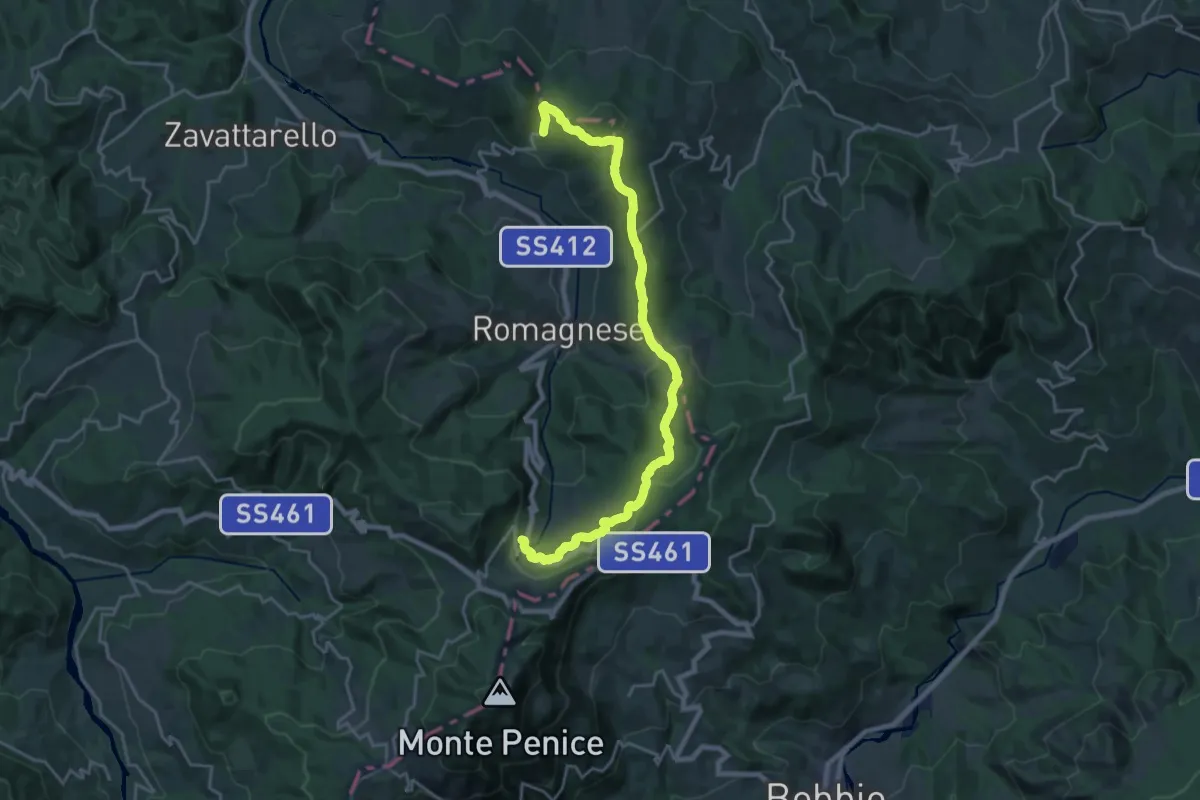
Demanding · Trail
Casa Matti – Casa Lazzati
23.1 km · ↑ 619 m · 6 h 48 min · 10 km away
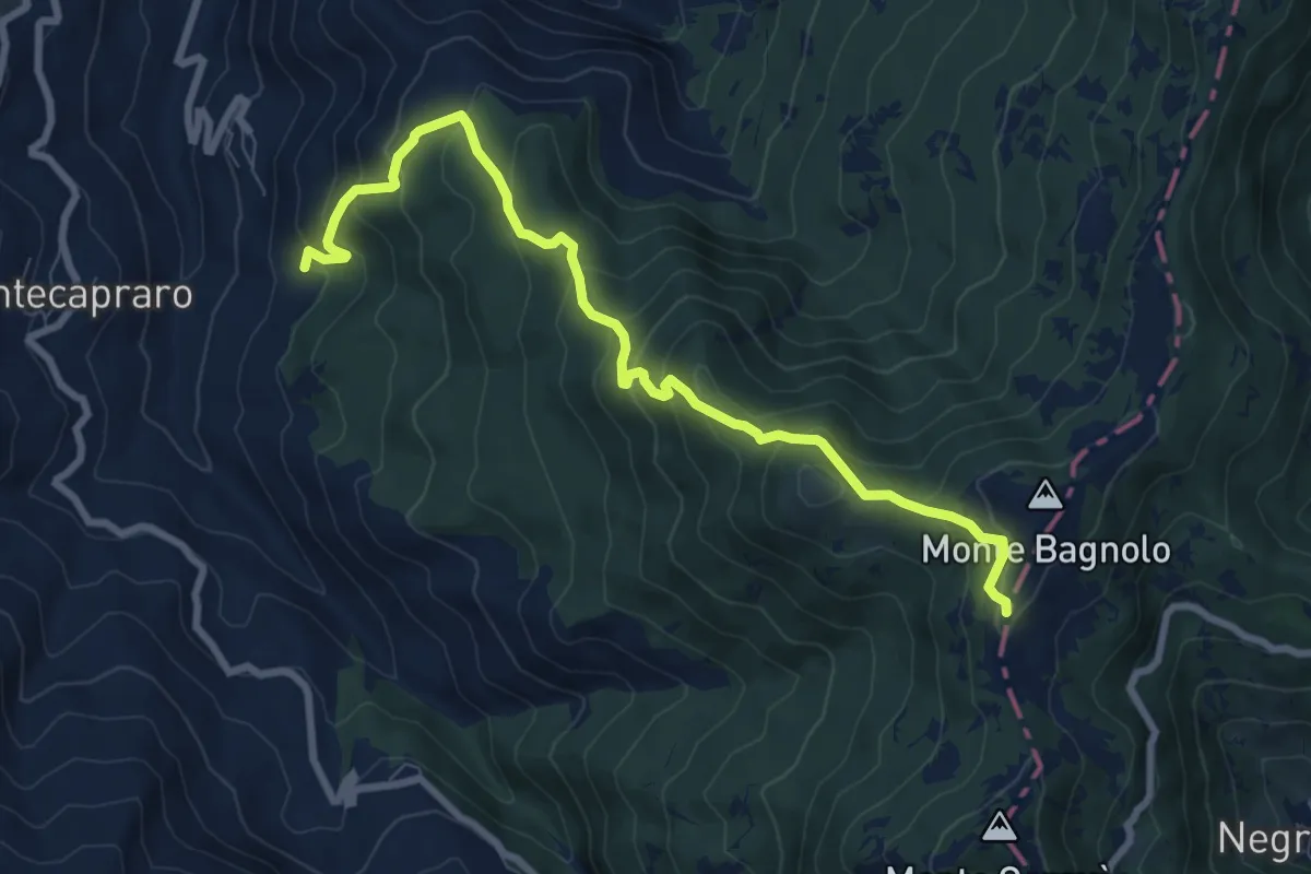
Medium · Trail
Bivio ALA109-ALA110, Lunassi – Bivio ALA105-ALA110, Colle della Seppa
9.0 km · ↑ 729 m · 3 h 42 min · 10 km away
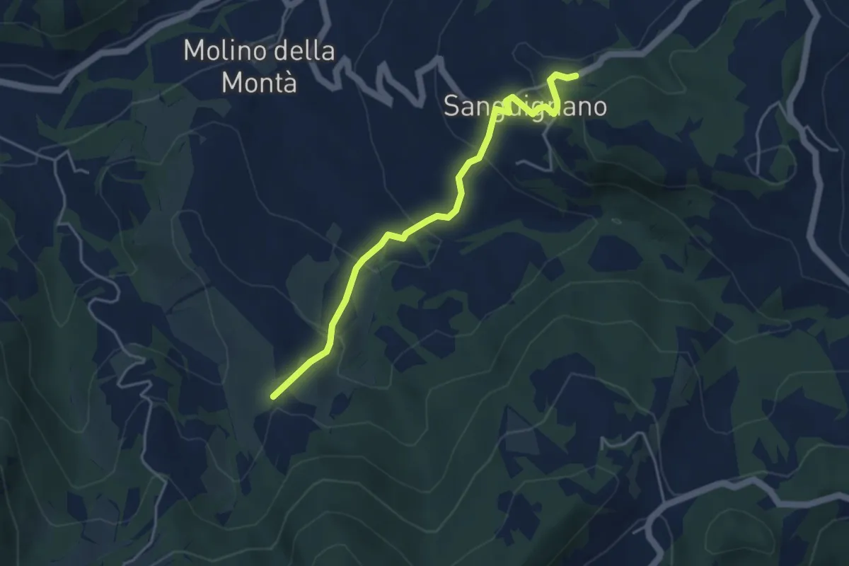
Easy · Trail
Sanguignano – Sentiero 172
4.2 km · ↑ 221 m · 1 h 28 min · 10 km away
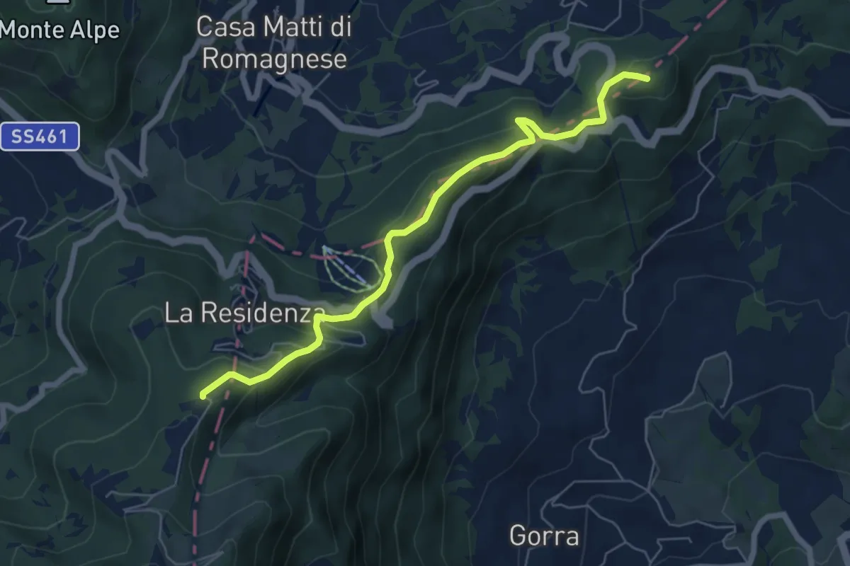
Medium · Summit
Monte Pietra di Corvo – Passo del Giovà
6.2 km · ↑ 330 m · 2 h 11 min · 10 km away
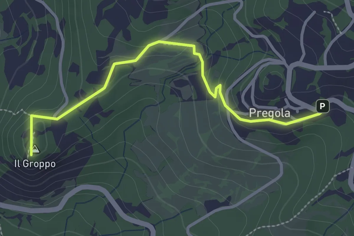
Easy · Summit
Pregola – Incrocio Sentiero 115-SP 186
2.9 km · ↑ 89 m · 53 min · 11 km away
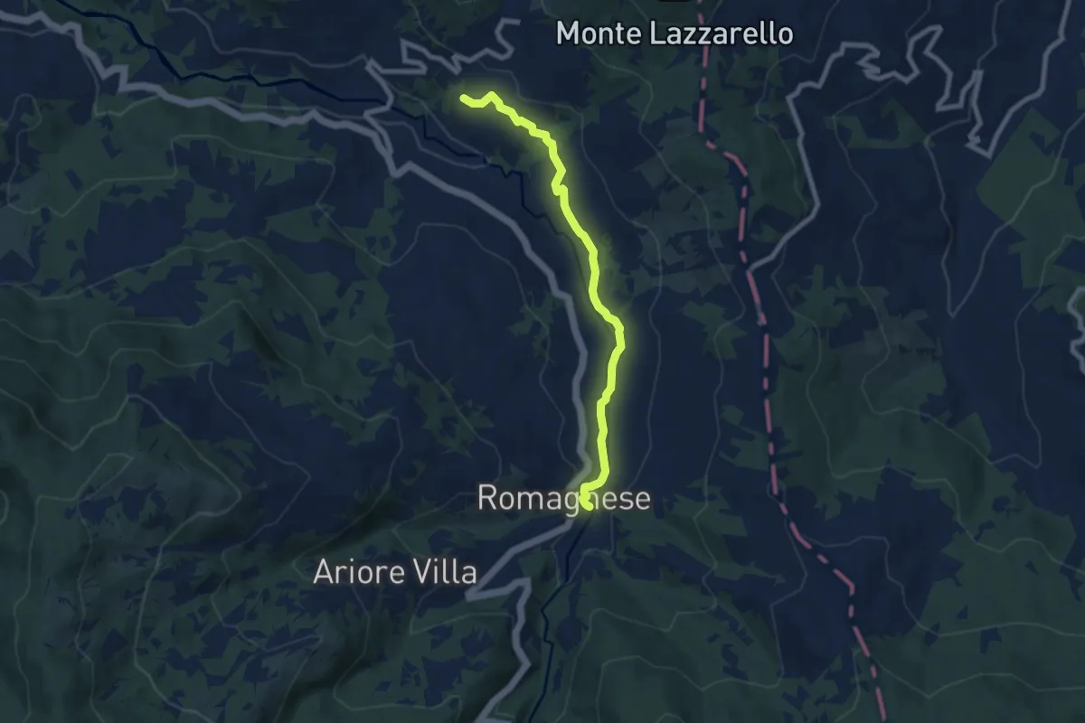
Easy · Trail
Romagnese – Cà Casarini
7.4 km · ↑ 127 m · 2 h 1 min · 11 km away
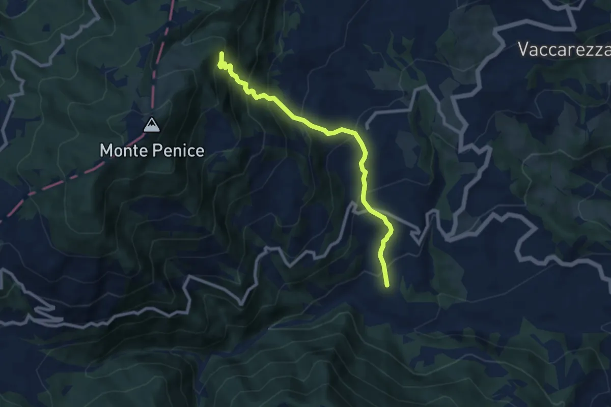
Medium · Trail
Vertikal Penice Vetta
7.2 km · ↑ 726 m · 3 h 17 min · 11 km away
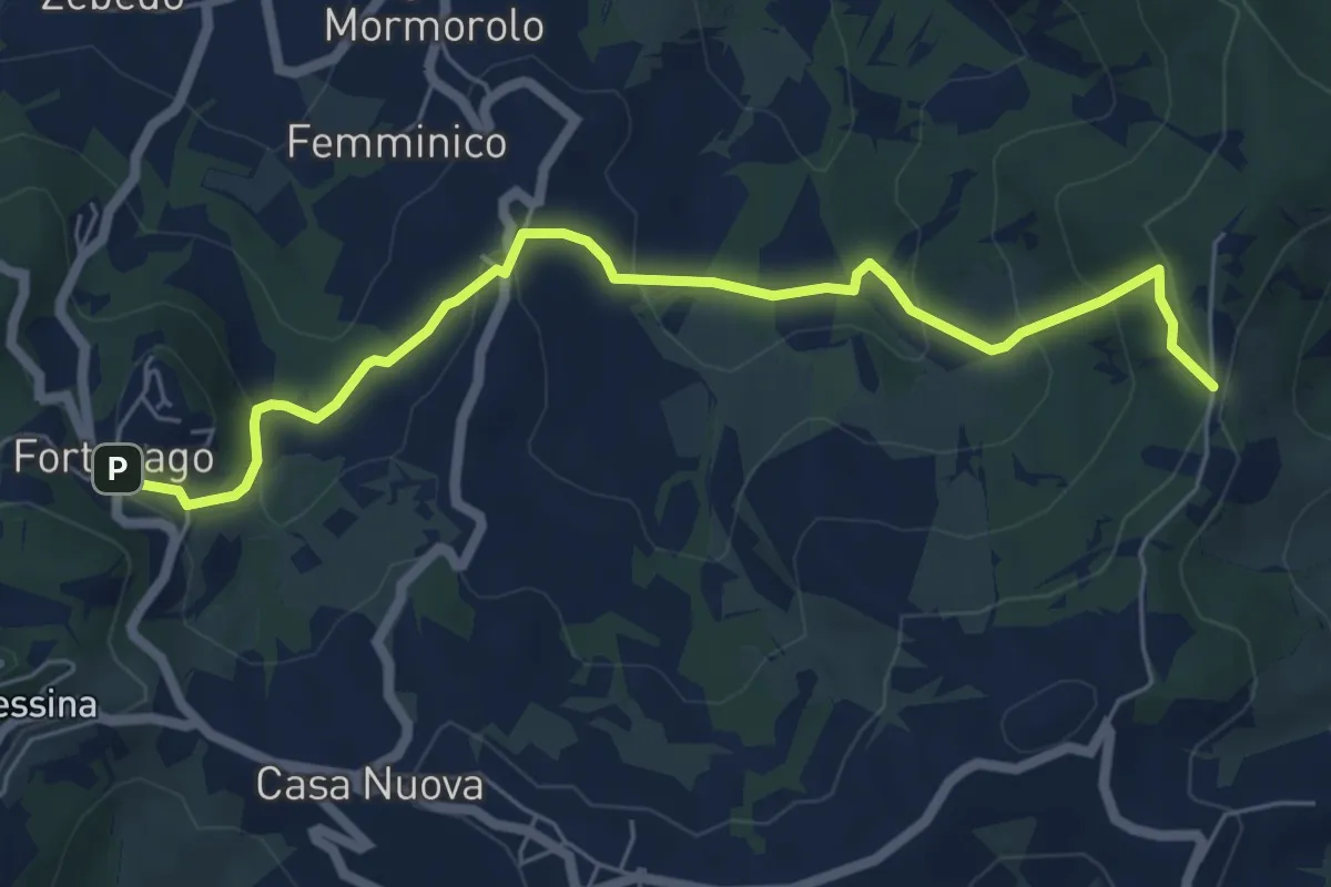
Medium · Trail
Fortunago – Costa Pelata
6.7 km · ↑ 352 m · 2 h 21 min · 11 km away
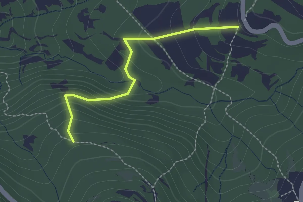
Easy · Trail
Percorso 120 – Percorso 118
2.1 km · ↑ 148 m · 49 min · 11 km away
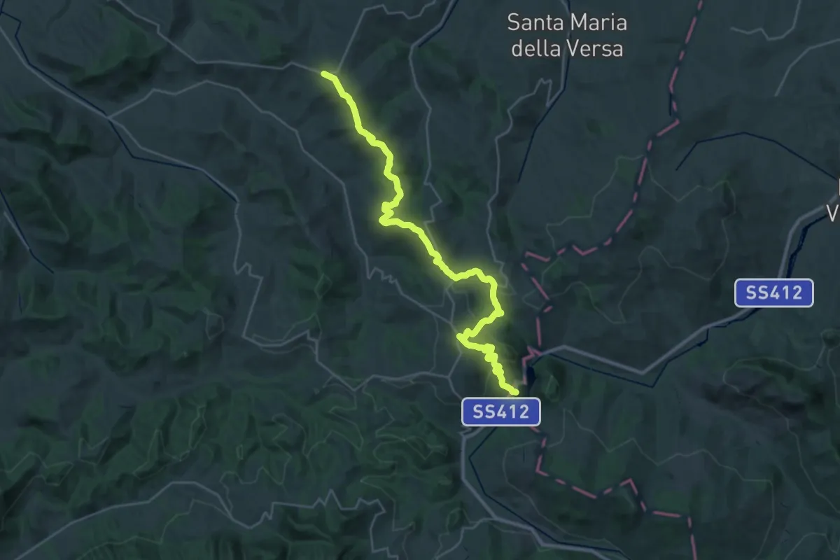
Medium · Trail
Montalto Pavese – Lago di Trebecco
15.1 km · ↑ 481 m · 4 h 48 min · 11 km away
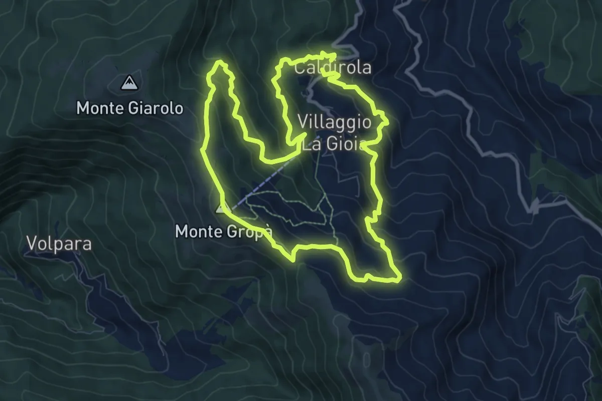
Medium · Summit
Anello delle fontane di Caldirola
9.2 km · ↑ 632 m · 3 h 40 min · 11 km away
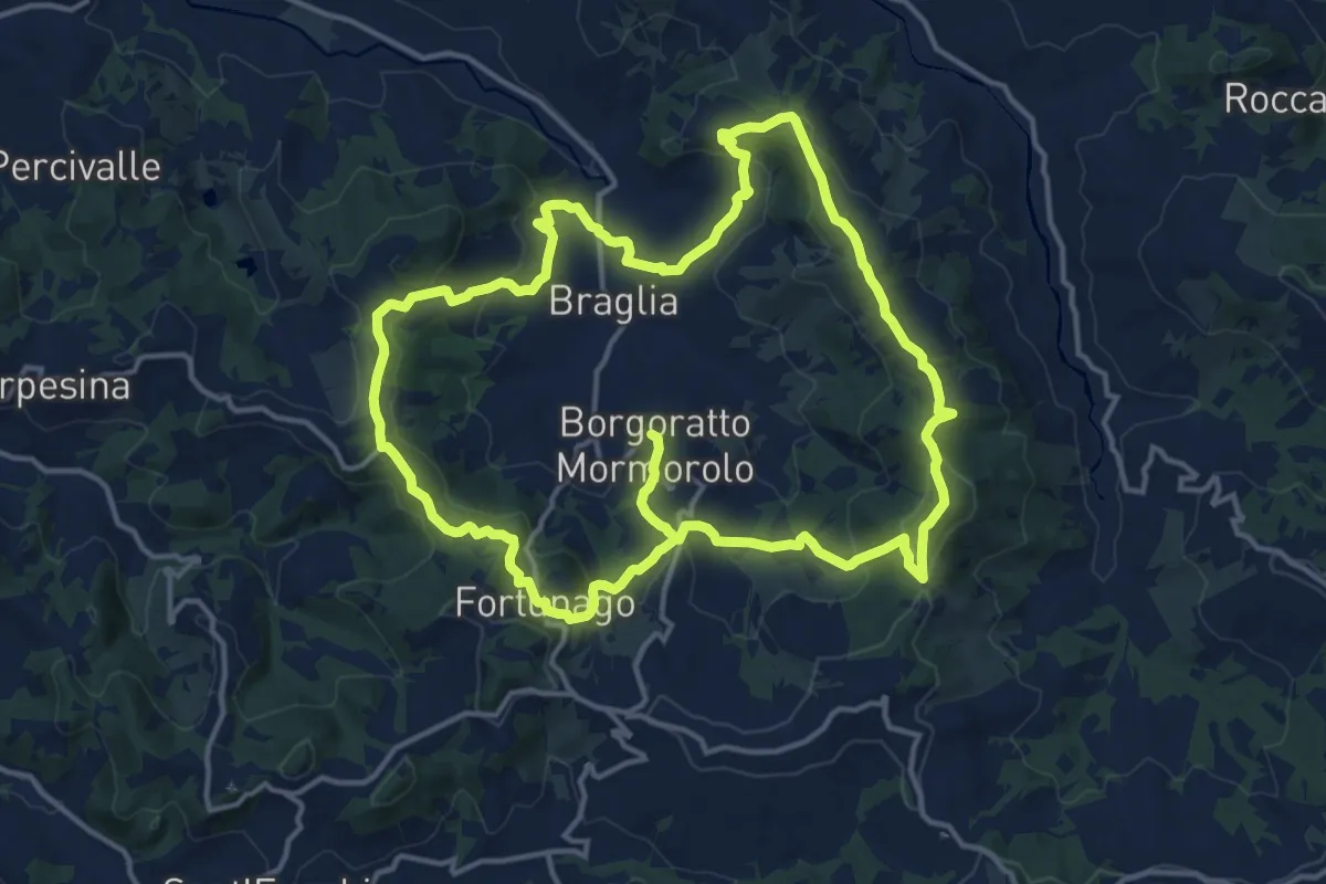
Medium · Trail
Corolla Fiore di Borgoratto
15.5 km · ↑ 573 m · 5 h 10 min · 11 km away
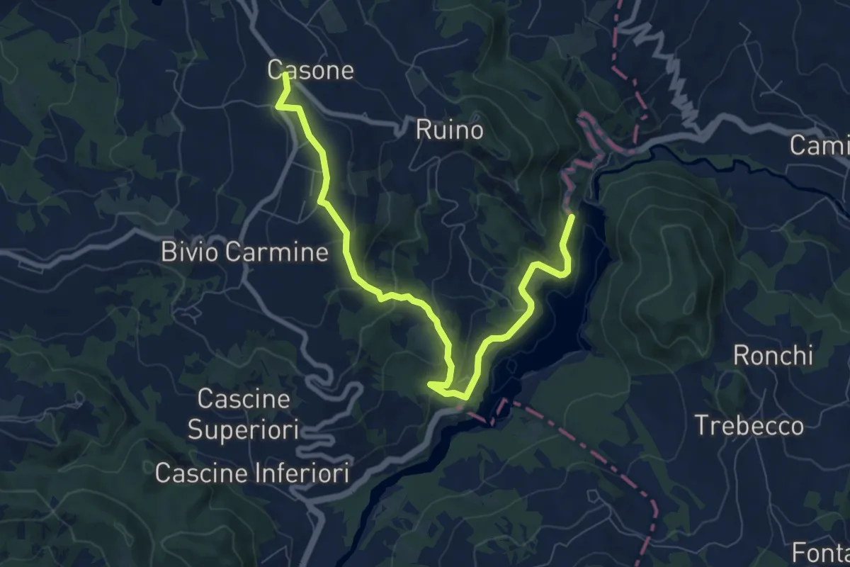
Medium · Trail
Passo del Carmine – Diga del Molato
9.2 km · ↑ 431 m · 3 h 6 min · 11 km away
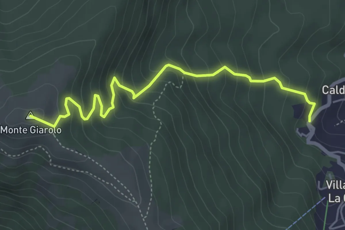
Medium · Summit
Fraz. Caldirola – Bivio ALA200 presso Monte Giarolo
5.0 km · ↑ 433 m · 2 h 7 min · 11 km away