Trails near Verbania
297 hikes starting within 15 km, nearest first.
Nearest first, page 1 of 7
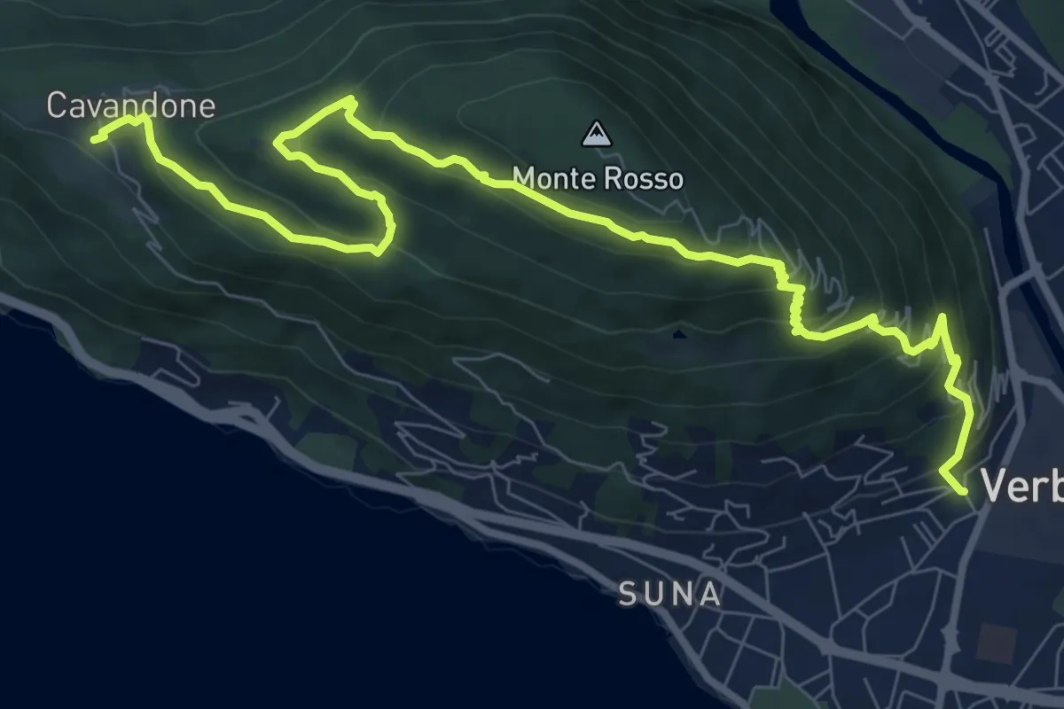
Medium · Trail
P01 - Madonna di campagna - Monterosso - Cavandone
11.1 km · ↑ 704 m · 4 h 9 min · under 1 km away
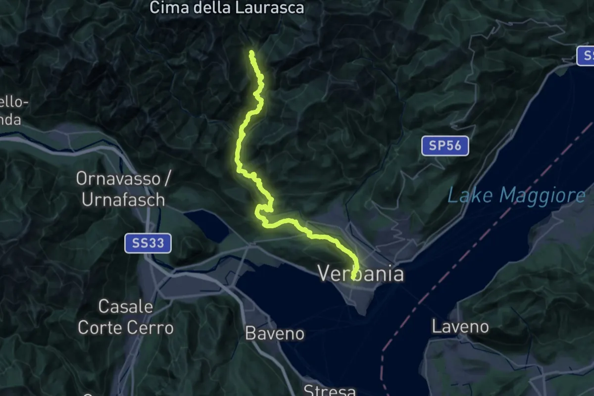
Demanding · Trail
P00 - Madonna di Campagna - Santino - Rovegro- Cossogno- Cicogna - Pogallo
19.8 km · ↑ 1822 m · 8 h 37 min · under 1 km away
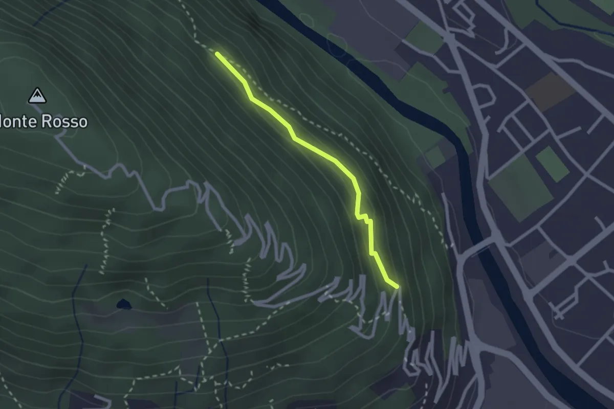
Medium · Trail
P01a - raccordo tra P01 e P00
2.0 km · ↑ 143 m · 47 min · 1 km away
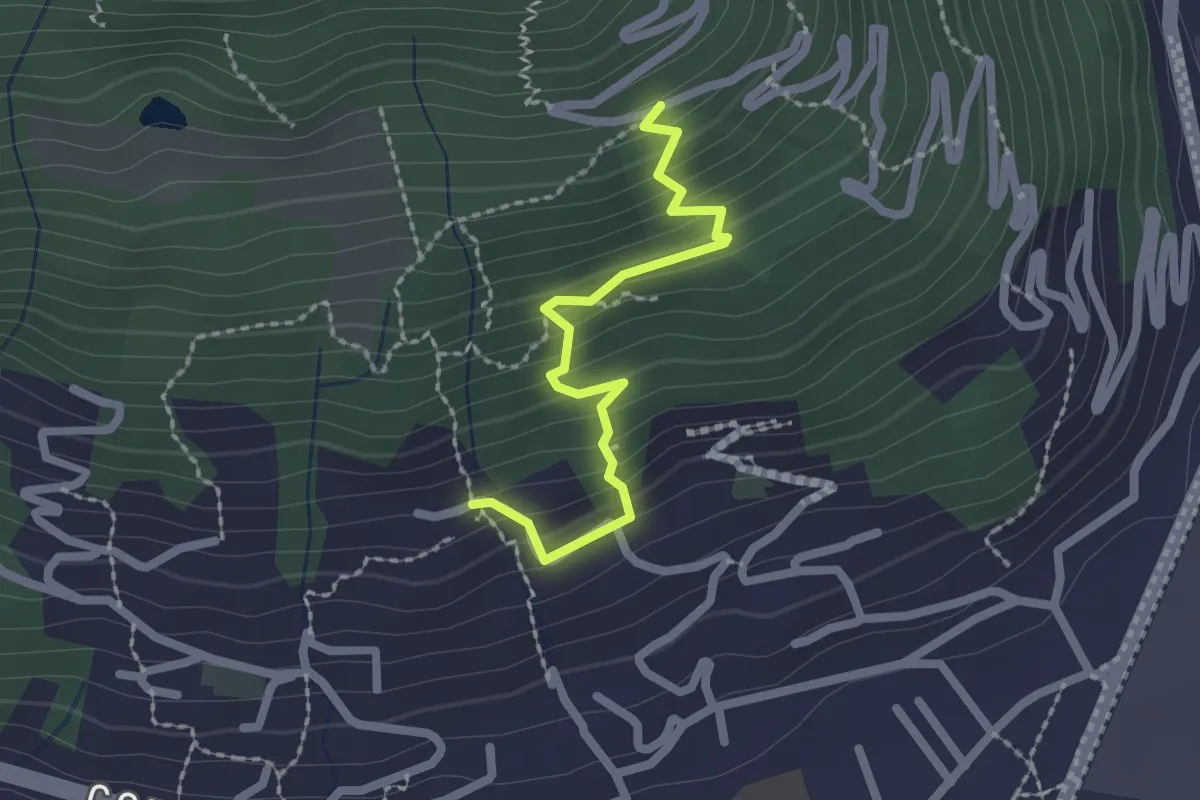
Medium · Trail
XP1B - Raccordo tra P01 e P01b visitando Villa Giuseppina
2.1 km · ↑ 201 m · 55 min · 1 km away
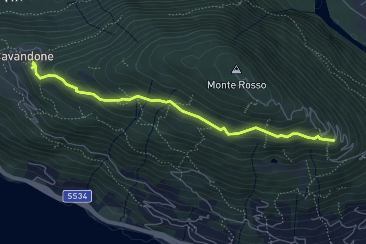
Easy · Trail
P01d - Cavandone - bivio Via al Monterosso
5.0 km · ↑ 212 m · 1 h 39 min · 1 km away
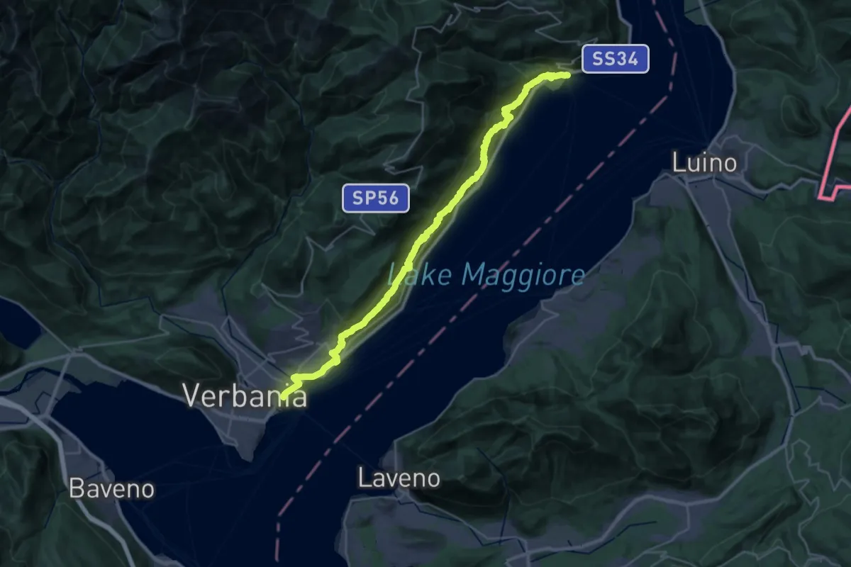
Demanding · Trail
R30 'Via delle Genti': tratto Cannero - Oggebbio - Sacro Monte SS.Trinità di Ghiffa - Verbania Intra
16.7 km · ↑ 839 m · 5 h 59 min · 1 km away
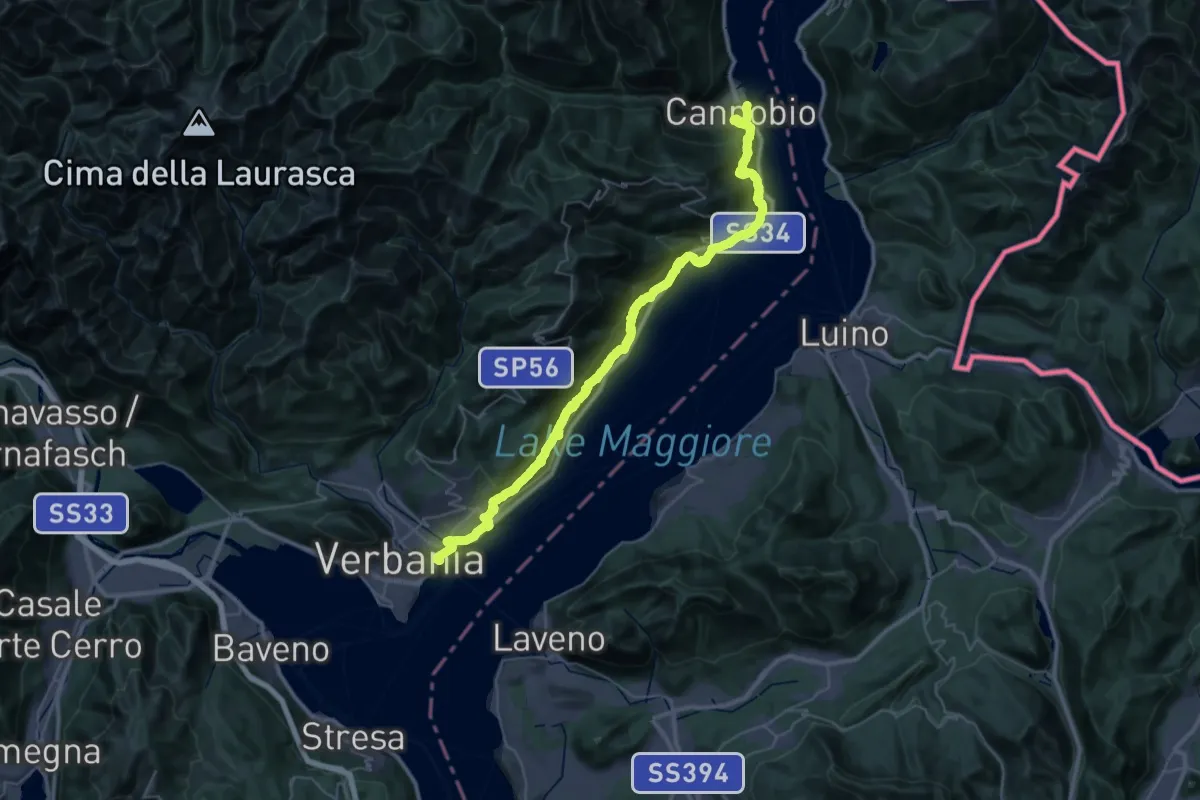
Demanding · Trail
Cammino del Lago Maggiore
23.9 km · ↑ 1193 m · 8 h 33 min · 1 km away
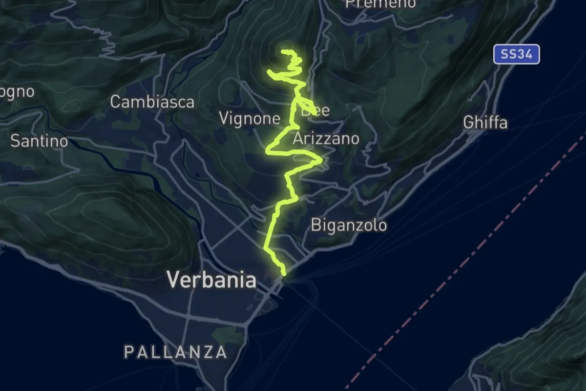
Medium · Summit
R04 Verbania Intra - Zoverallo - San Martino - Bèe - Monte Cimolo - Pian Nava
17.7 km · ↑ 765 m · 5 h 50 min · 1 km away
Demanding · Trail
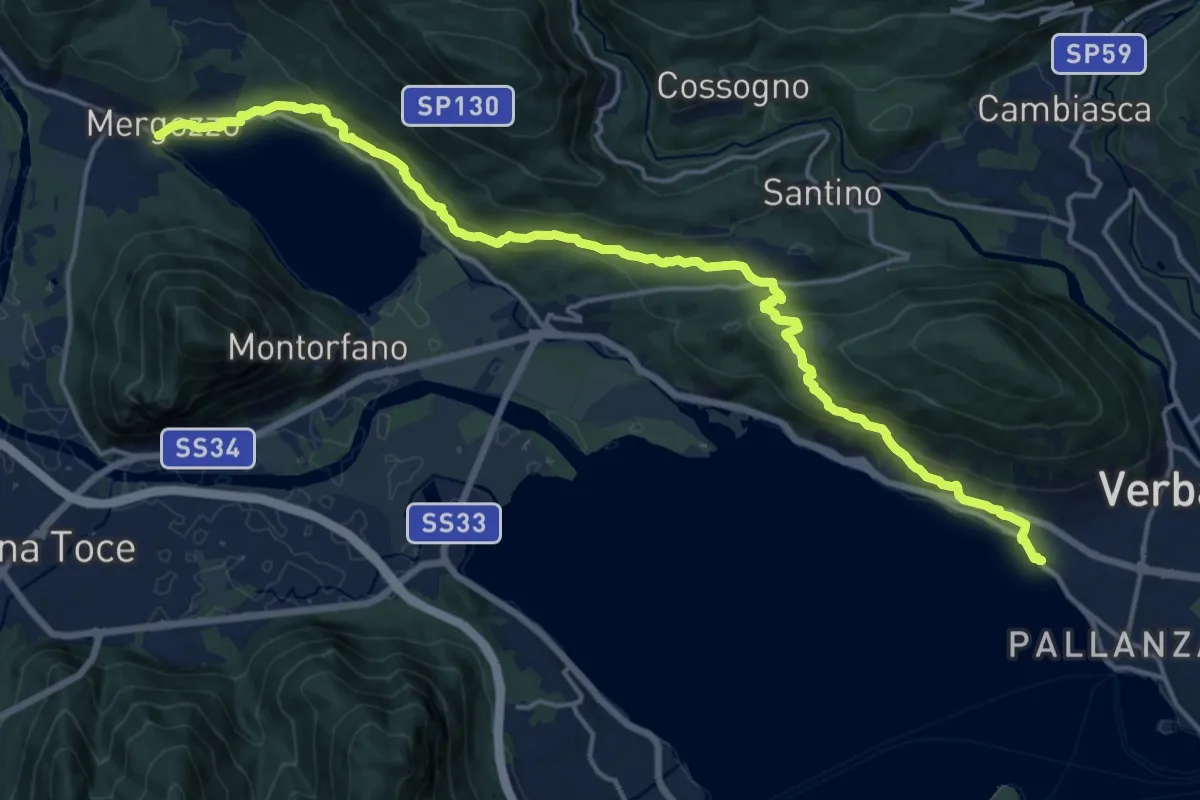
A00 - Strada Romana (terza sezione)
20.0 km · ↑ 761 m · 6 h 23 min · 1 km away
Easy · Trail
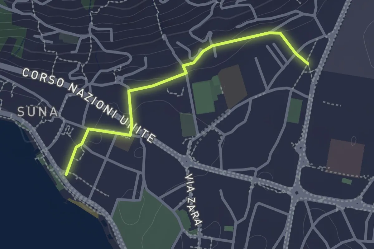
P00r - Raccordo pedemontano tra A00 e P00
2.5 km · ↑ 51 m · 42 min · 1 km away
Demanding · Trail
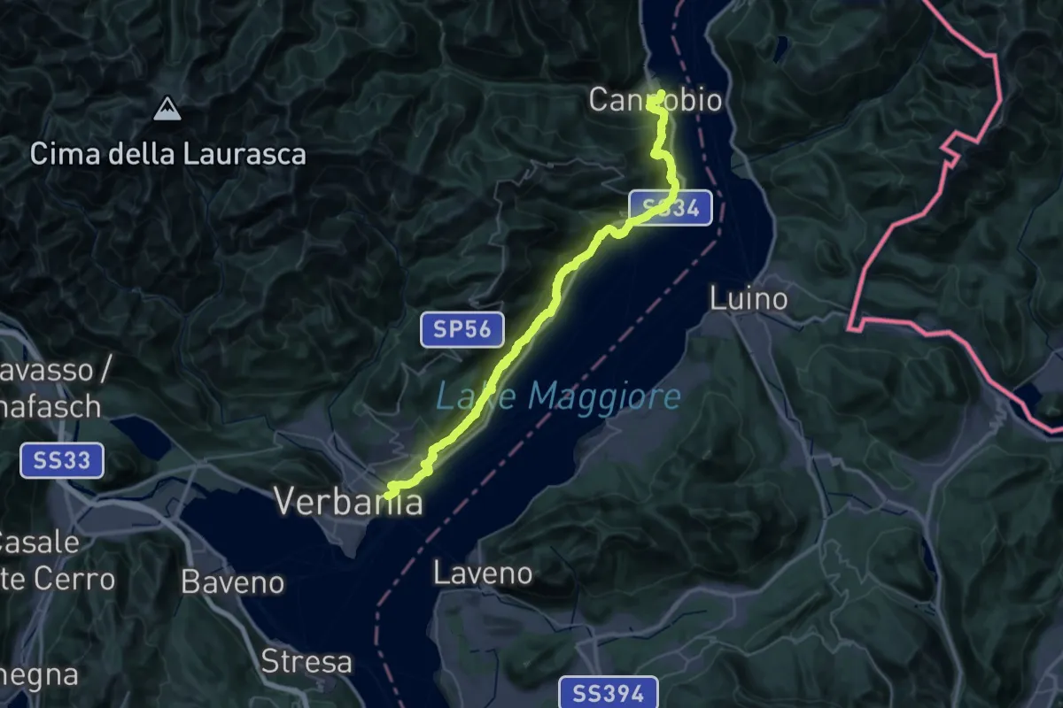
Grand Tour del Lago Maggiore ® - Tappa 11 - Cannobio - Verbania lntra
23.3 km · ↑ 1160 m · 8 h 21 min · 1 km away
Medium · Trail
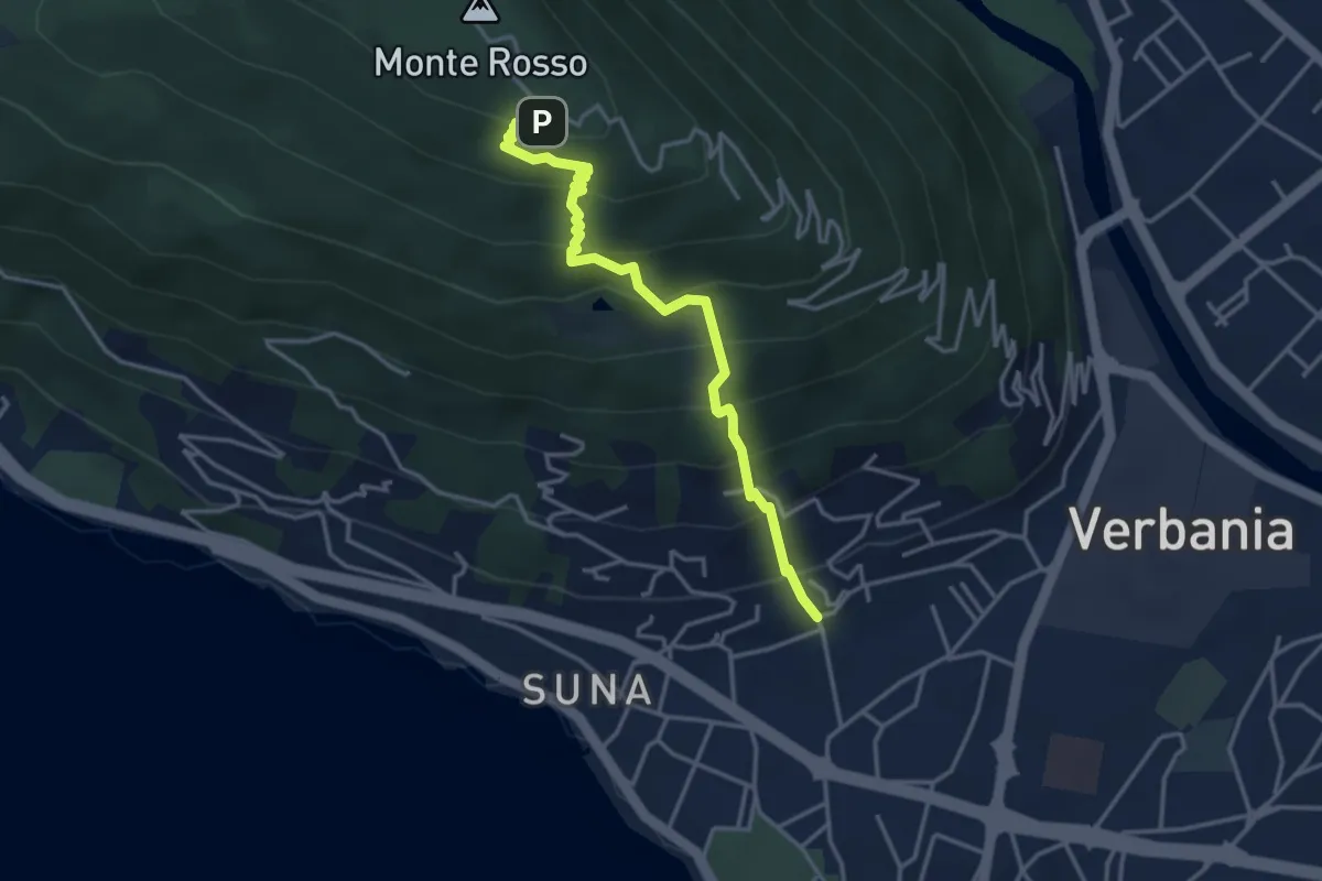
P01b - Suna - Chiesetta Pellegrino
3.8 km · ↑ 451 m · 1 h 53 min · 2 km away
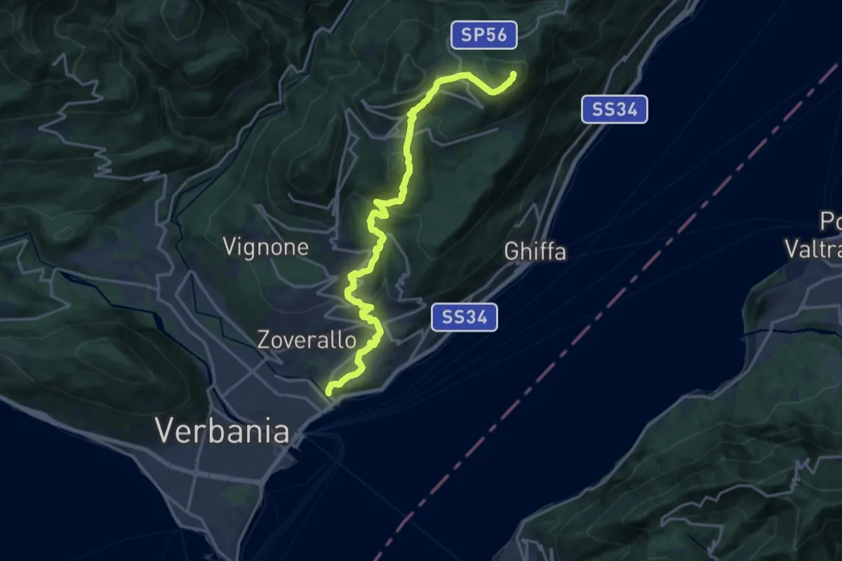
Demanding · Summit
R02 Verbania Intra bivio R30 Via Selasca - Arizzano - Albagnano - Premeno - Pizzo d'Omo
17.8 km · ↑ 902 m · 6 h 9 min · 2 km away
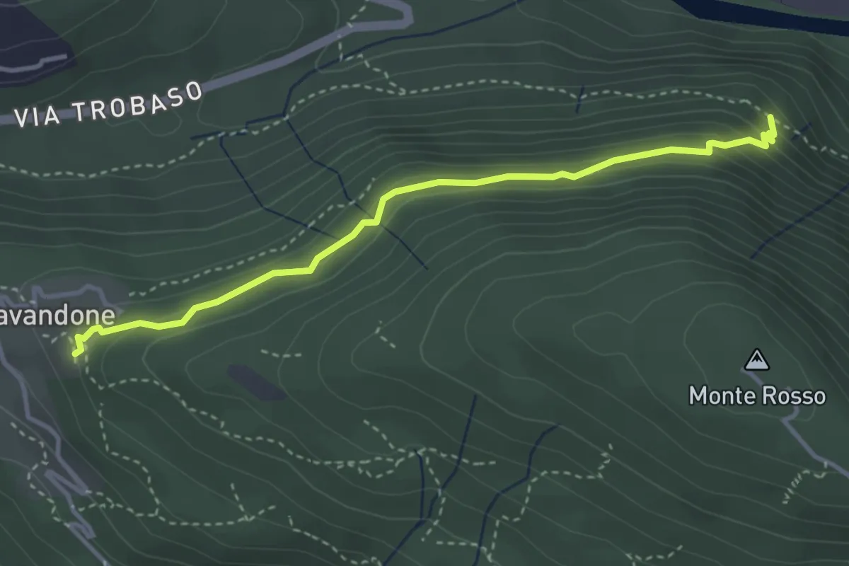
Medium · Trail
P01e - Cavandone - Cascina Monterosso
3.6 km · ↑ 229 m · 1 h 21 min · 2 km away
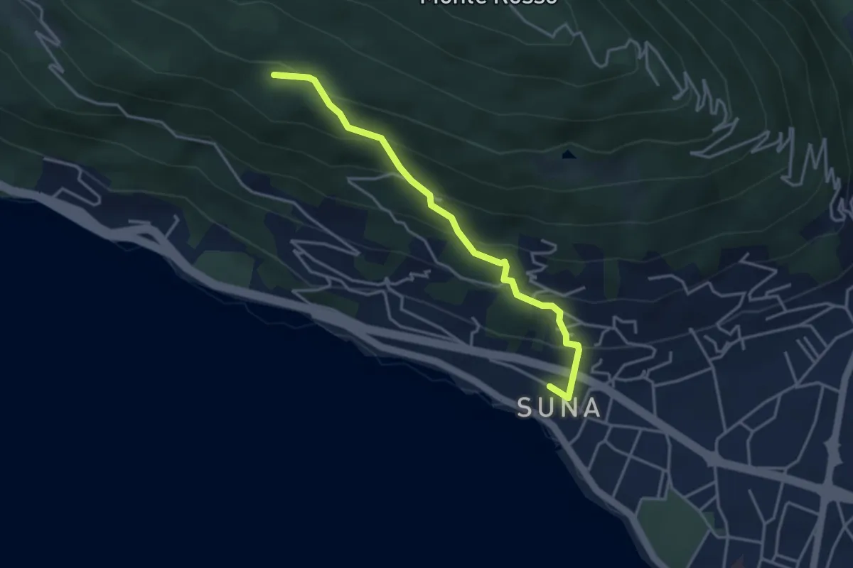
Medium · Trail
P01c - Sentiero della Bergamina
3.6 km · ↑ 295 m · 1 h 29 min · 2 km away
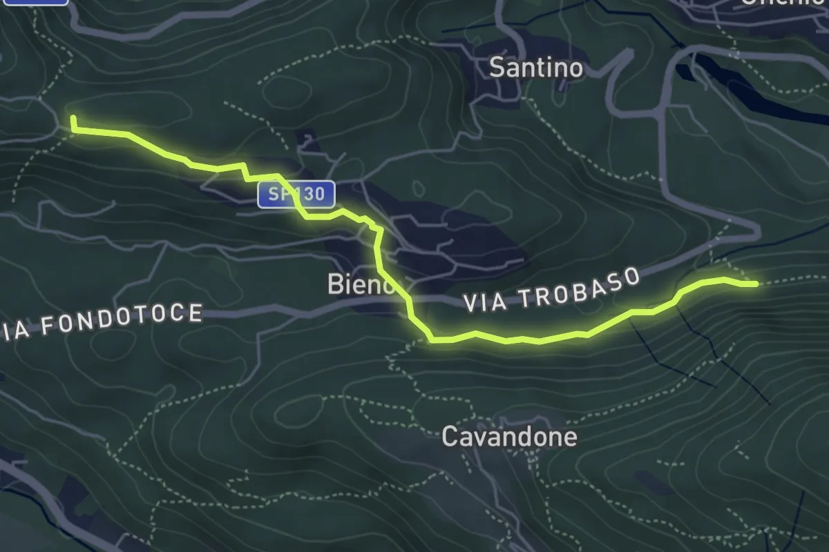
Easy · Trail
P00c - Nord Monterosso - Bieno - Oratorio Santino
5.3 km · ↑ 155 m · 1 h 35 min · 3 km away
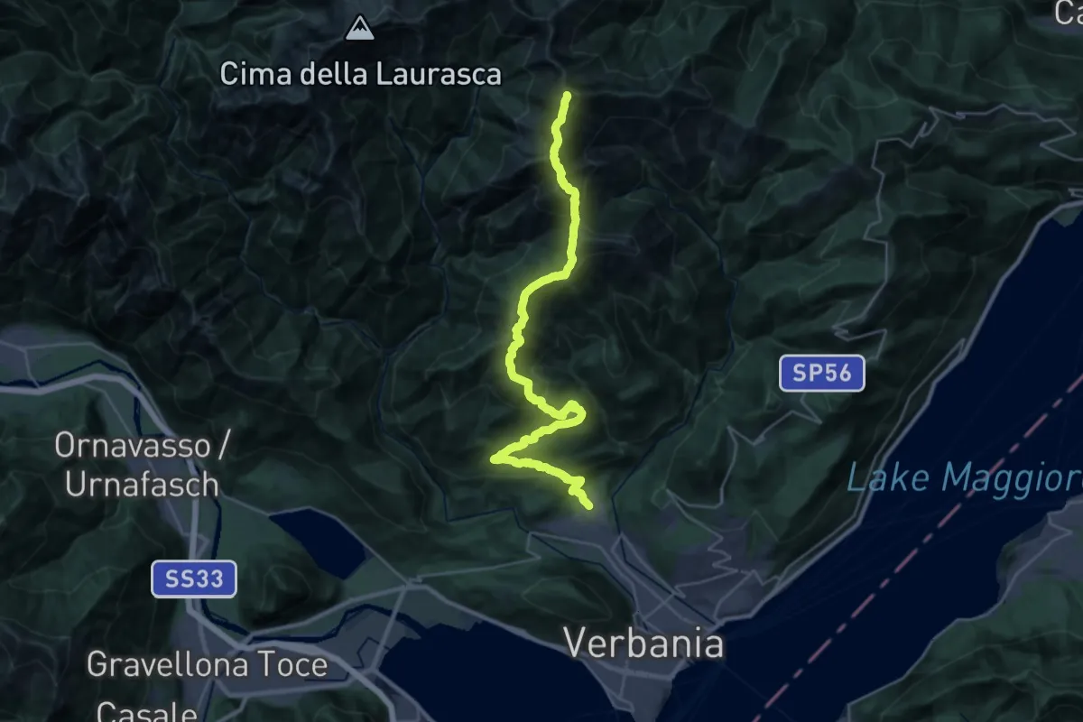
Demanding · Summit
R03 Cambiasca - Pian Cavallone - Pizzo Marona - Monte Zeda
31.8 km · ↑ 2306 m · 12 h 31 min · 3 km away
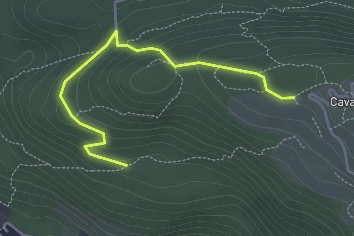
Easy · Trail
A00f - Bivio A00e - Cavandone
2.8 km · ↑ 122 m · 56 min · 4 km away
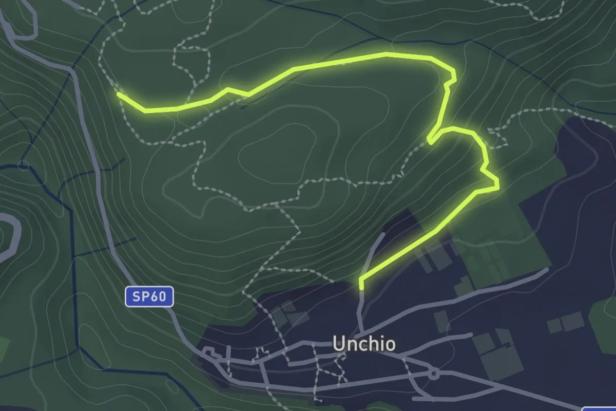
Easy · Trail
R01b Bivio R01 sotto Motto di Unchio - Bivio R01 a Pian di Les (Giro del Motto di Unchio)
3.1 km · ↑ 112 m · 58 min · 4 km away
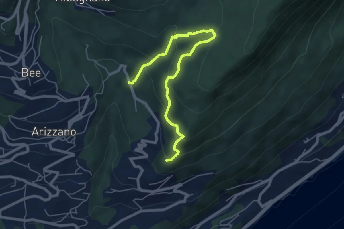
Medium · Trail
Sentiero Archeologico
5.0 km · ↑ 359 m · 1 h 58 min · 4 km away
Easy · Trail
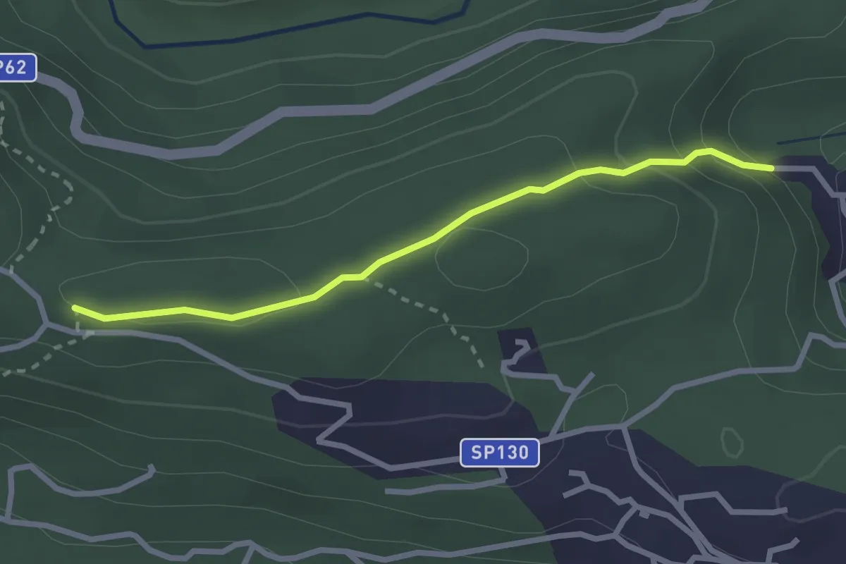
Via Crucis di Santino
2.5 km · ↑ 106 m · 49 min · 4 km away
Easy · Trail
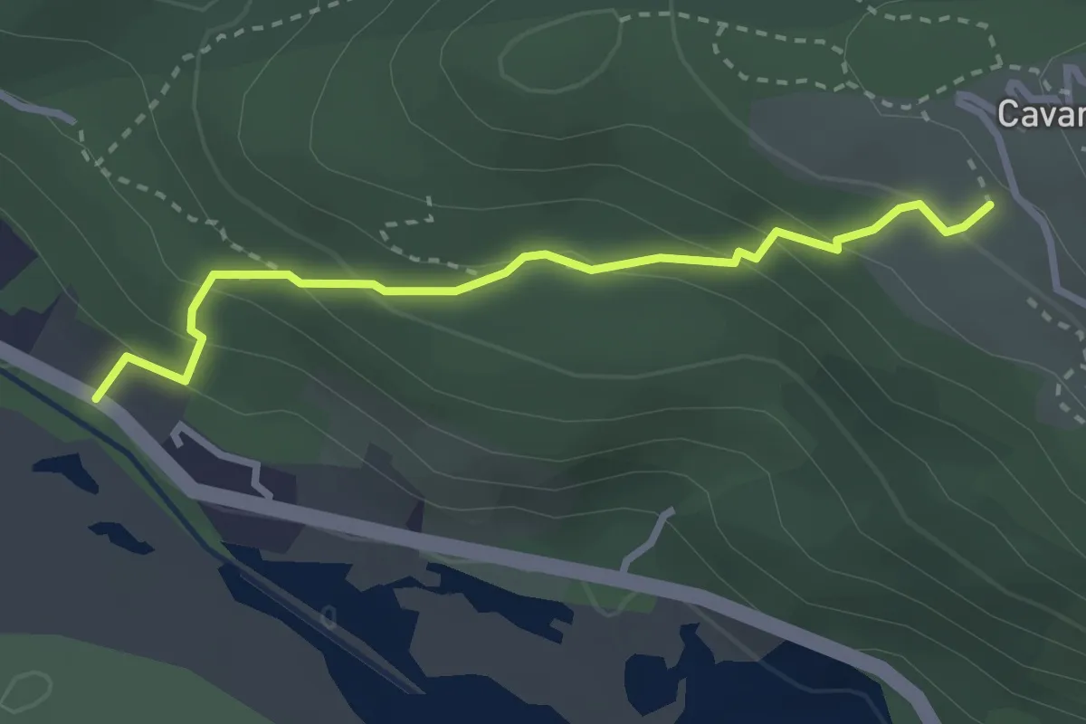
A00e - Da Fondotoce a Cavandone
2.8 km · ↑ 215 m · 1 h 7 min · 4 km away
Demanding · Summit
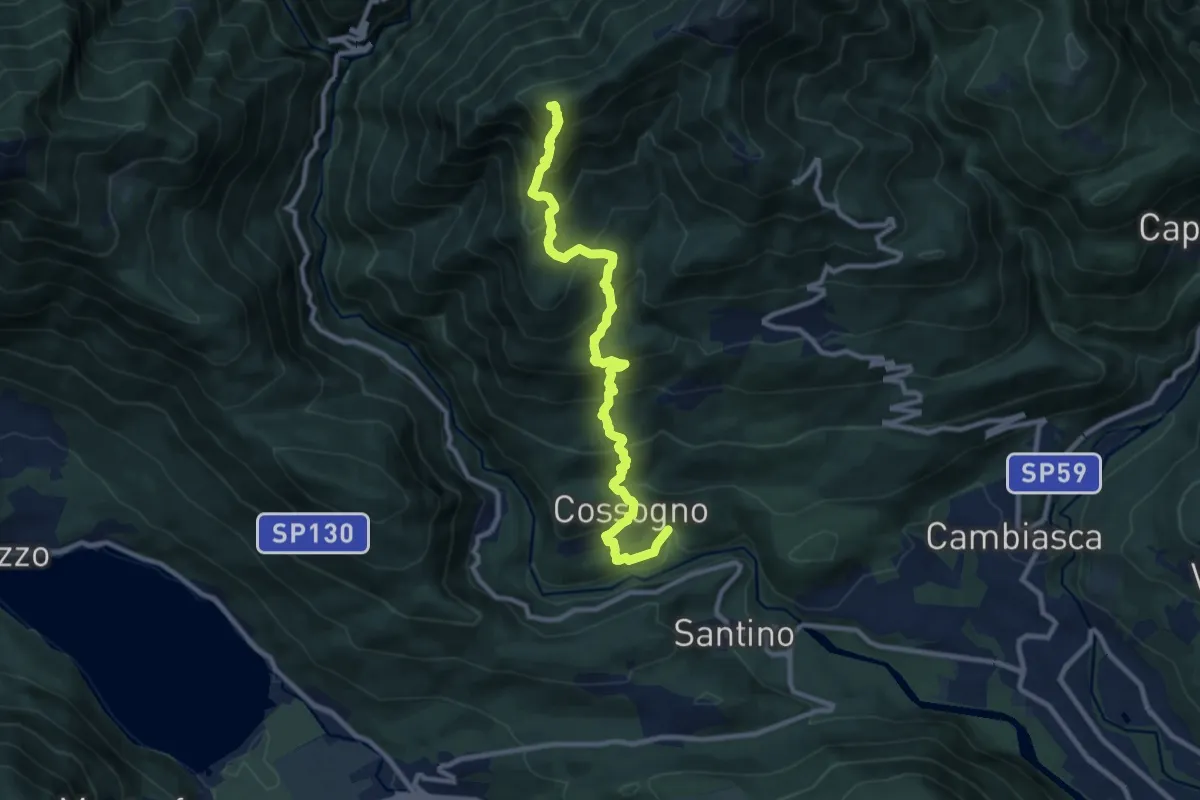
km verticale Cossogno
10.7 km · ↑ 987 m · 4 h 40 min · 5 km away
Demanding · Trail
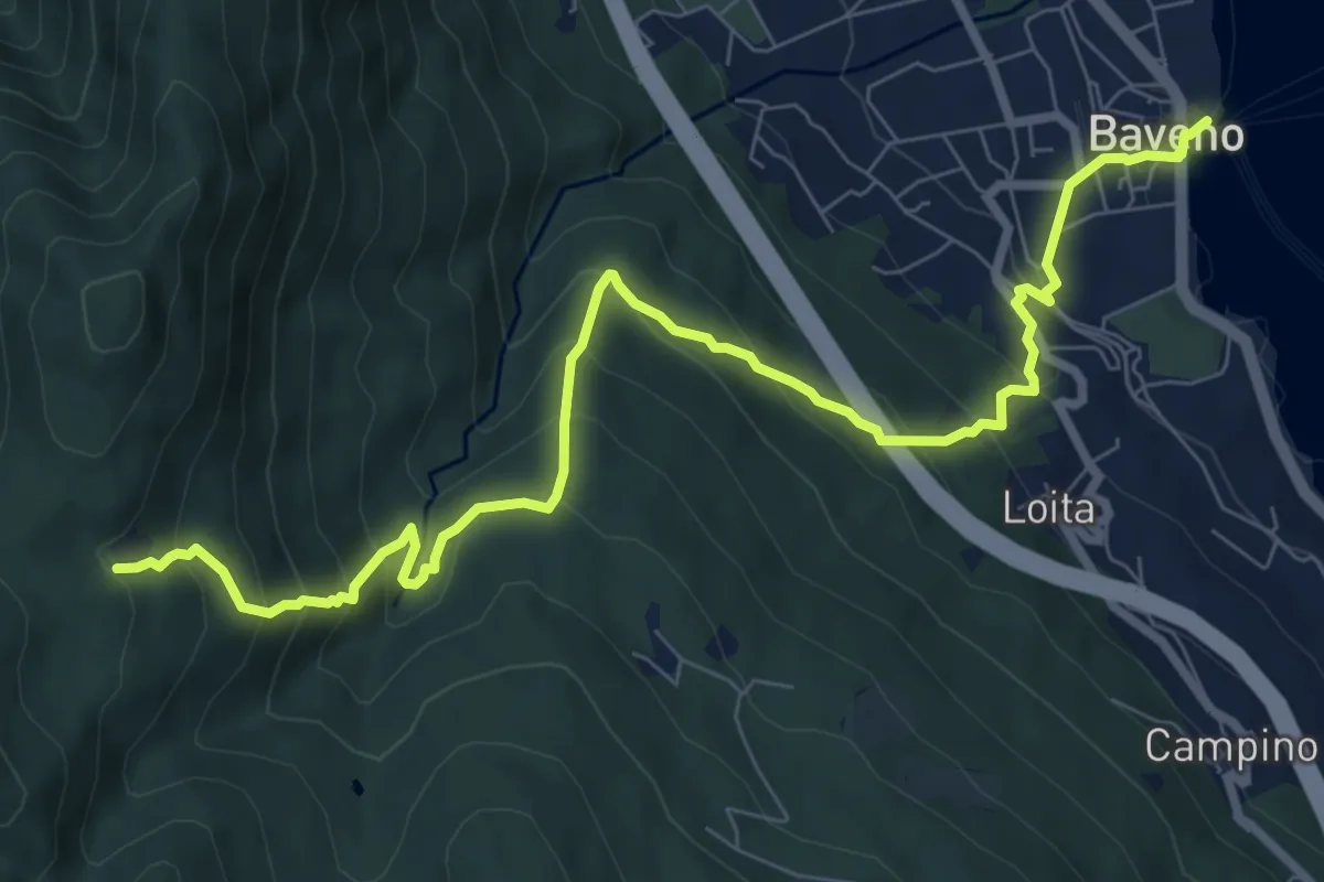
VM2 - Baveno - Alpe Vedabia
9.8 km · ↑ 819 m · 4 h 6 min · 5 km away
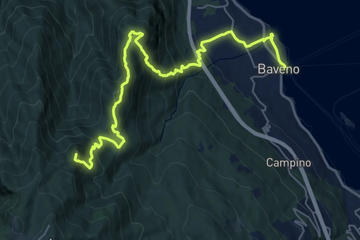
Demanding · Summit
VM3 - Baveno - Mottarone
18.0 km · ↑ 1317 m · 7 h 6 min · 5 km away
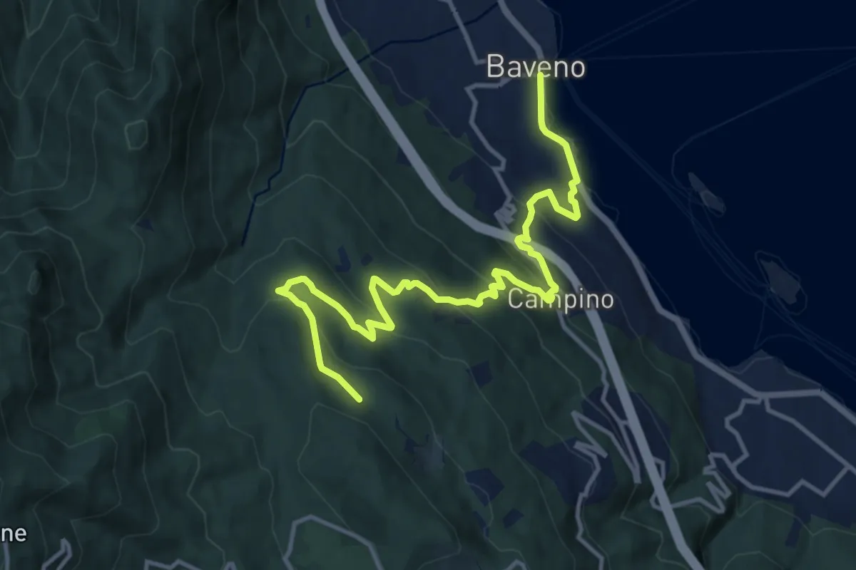
Medium · Trail
VM5 - Baveno - Bivio VL1
13.6 km · ↑ 709 m · 4 h 46 min · 5 km away
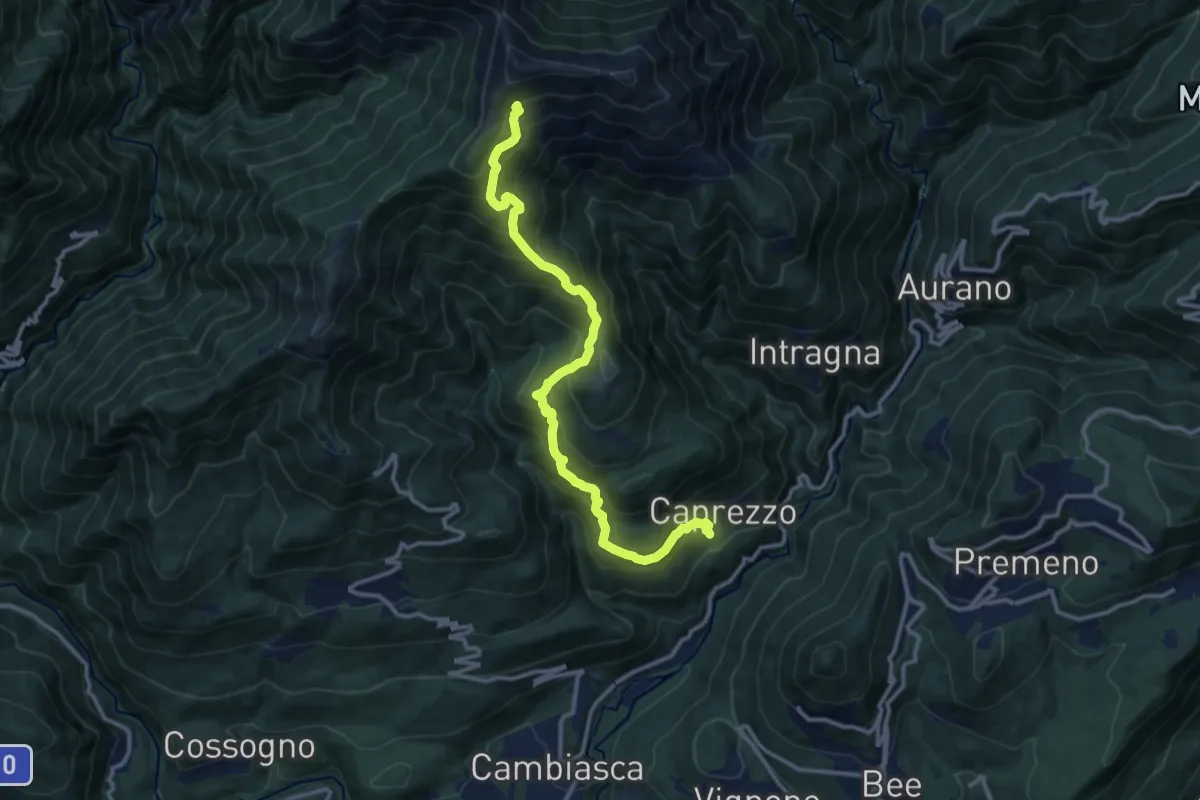
Demanding · Cabin
R05 Caprezzo - Pian Cavallone bivio R07
12.9 km · ↑ 1182 m · 5 h 36 min · 5 km away
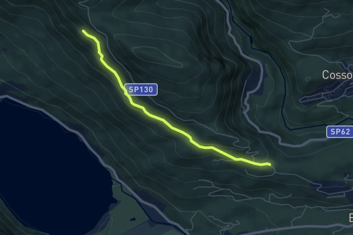
Medium · Trail
P03 - Oratorio di Santino - bivio A54 nei pressi Cappella di Erfo
5.4 km · ↑ 235 m · 1 h 47 min · 5 km away
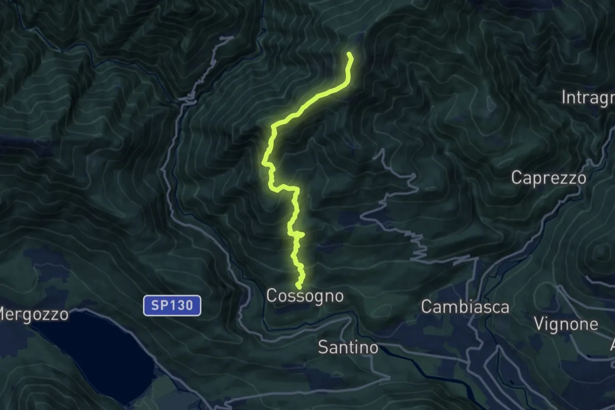
Demanding · Summit
P02 - Cossogno - Pizzo Pernice
12.3 km · ↑ 1162 m · 5 h 25 min · 5 km away
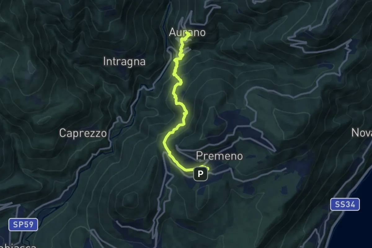
Medium · Trail
R08 Aurano - Esio - Premeno
9.2 km · ↑ 797 m · 3 h 55 min · 5 km away
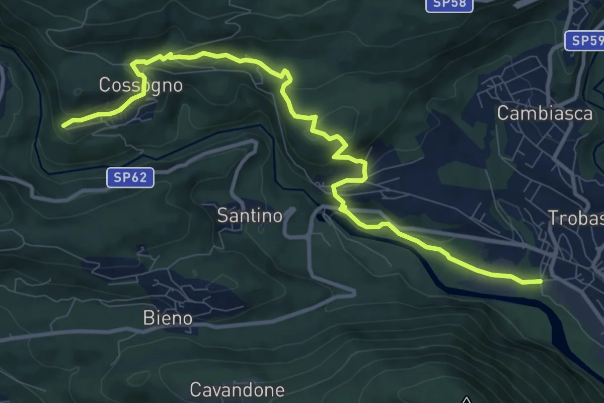
Medium · Trail
R01 Verbania Trobaso - Unchio - Motto di Unchio - Pian di Les - Cossogno
10.4 km · ↑ 370 m · 3 h 16 min · 5 km away
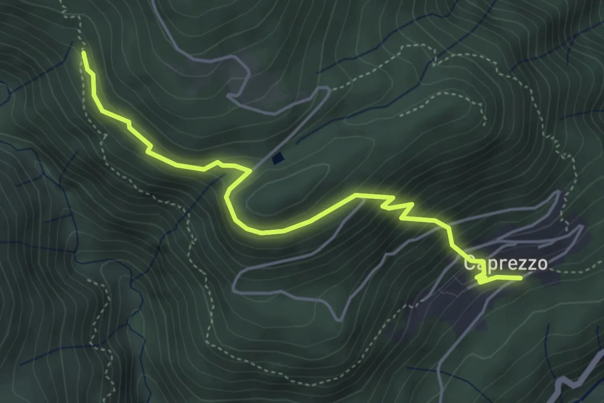
Medium · Trail
R05b Caprezzo - Alpe Mon Rous (Ôr dal Ruś)
4.9 km · ↑ 414 m · 2 h 3 min · 5 km away
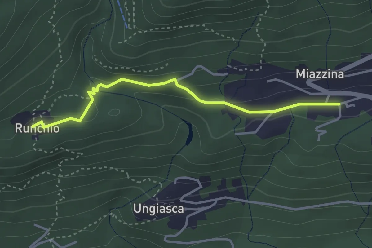
Medium · Trail
P02b - Miazzina - Alpe Runchio
3.1 km · ↑ 92 m · 56 min · 5 km away
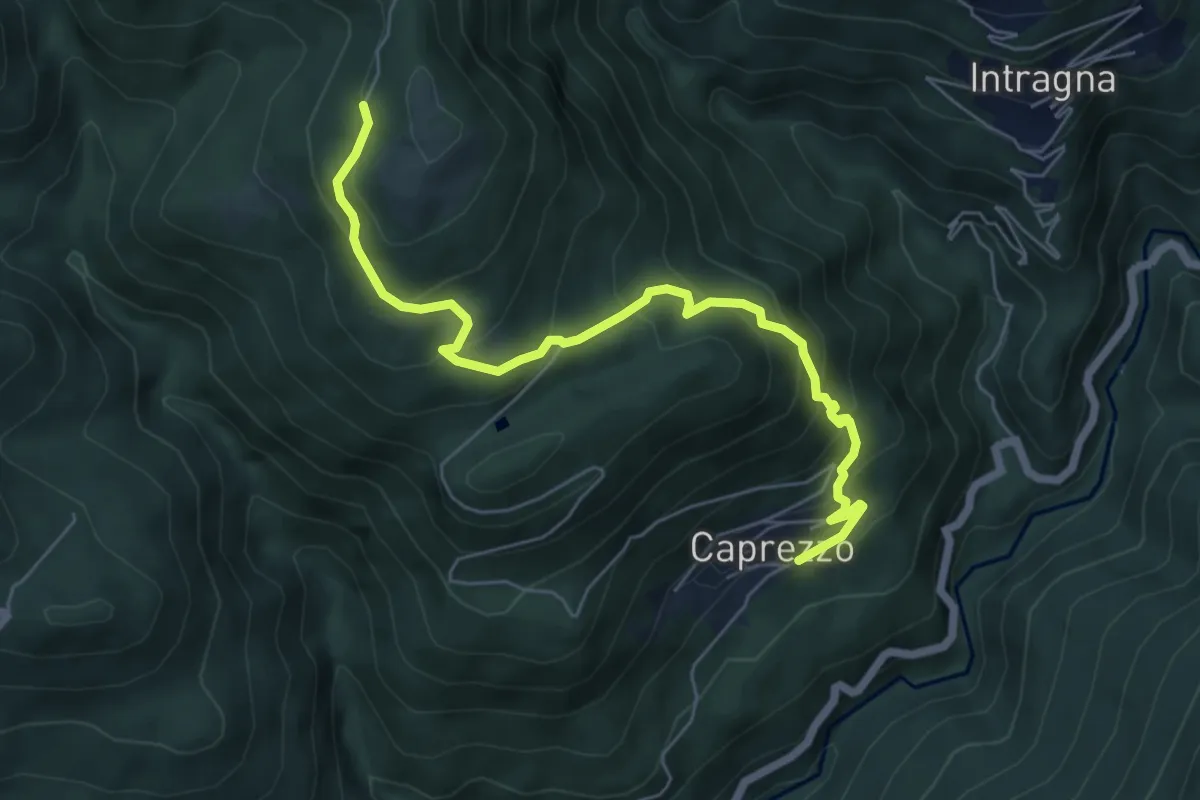
Medium · Trail
R05a Caprezzo - Tremesino - Alpe a Pönt - Bivio R05 sotto Cappella Porta
6.6 km · ↑ 588 m · 2 h 50 min · 5 km away
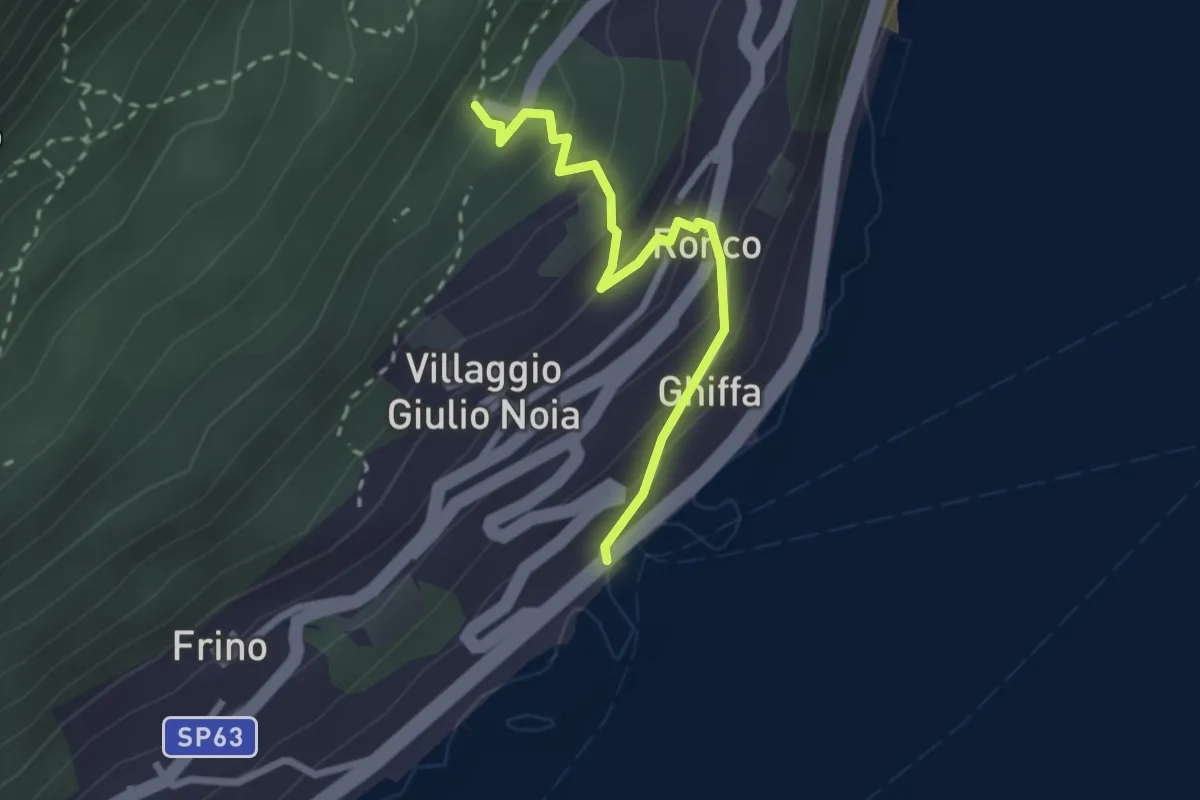
Easy · Trail
R30e Ghiffa - Sacro Monte SS.Trinità di Ghiffa
2.4 km · ↑ 192 m · 59 min · 5 km away
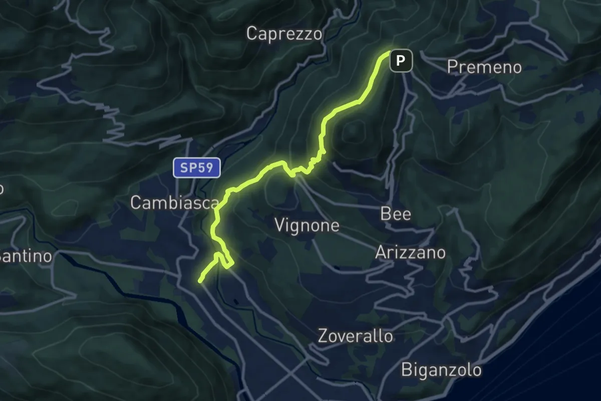
Medium · Trail
R06 Trobaso - Pian Nava
11.0 km · ↑ 697 m · 4 h 7 min · 5 km away
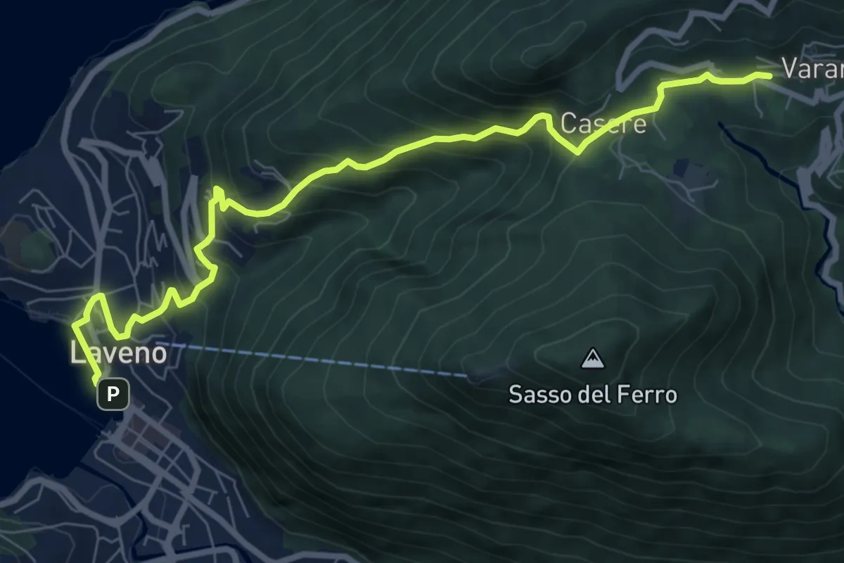
Medium · Trail
Laveno Mombello – Casere-Vararo
8.7 km · ↑ 637 m · 3 h 26 min · 5 km away
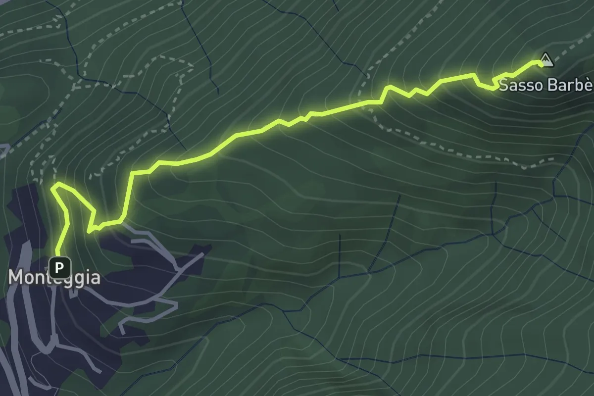
Demanding · Summit
Sasso Barbè
3.7 km · ↑ 558 m · 2 h 5 min · 5 km away
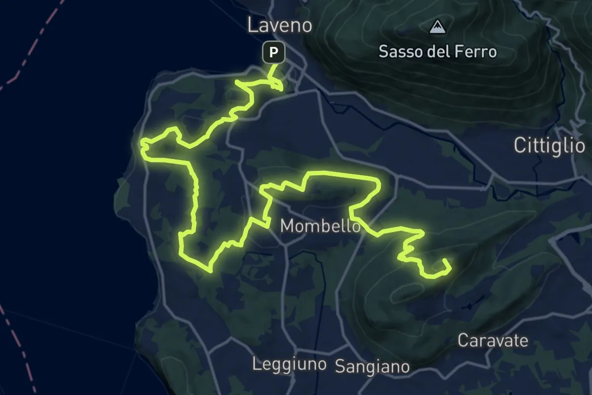
Demanding · Summit
Cittiglio – Laveno Mombello
24.8 km · ↑ 830 m · 7 h 40 min · 5 km away
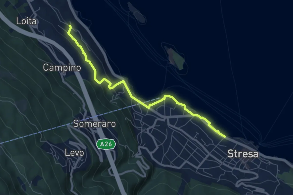
Easy · Trail
VM4 - Roncaro - Stresa
6.7 km · ↑ 236 m · 2 h 5 min · 5 km away
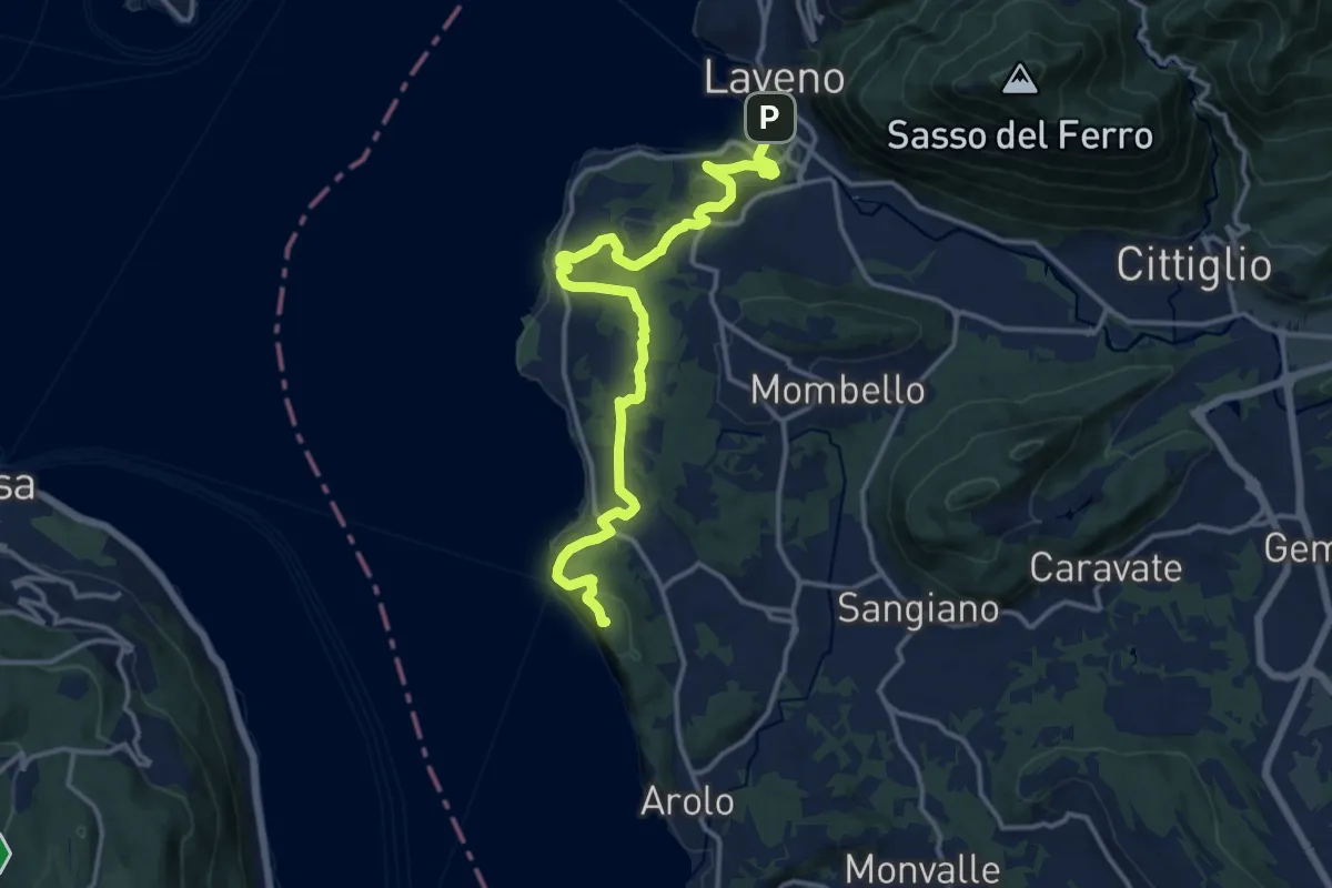
Medium · Summit
Grand Tour del Lago Maggiore ® - Tappa 5 - Ispra - Laveno
15.6 km · ↑ 492 m · 4 h 45 min · 5 km away
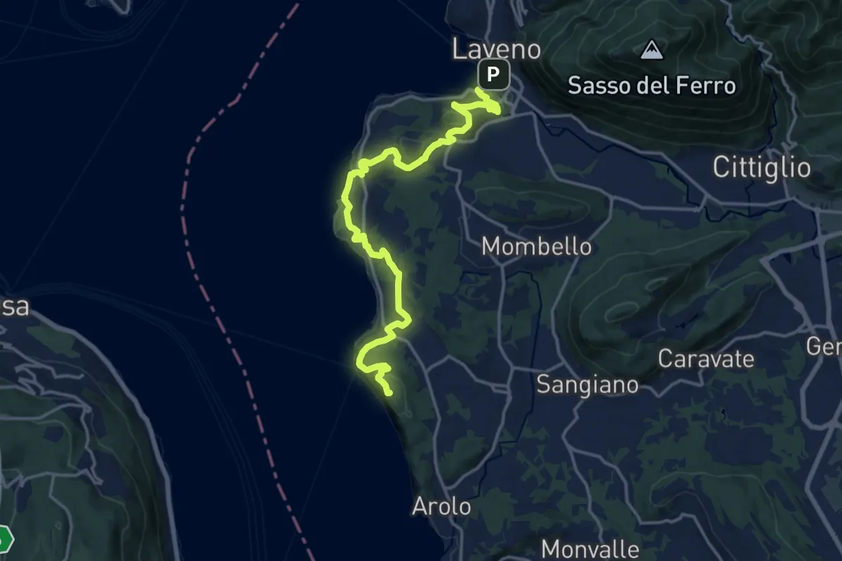
Medium · Summit
Cammino del Lago Maggiore
16.5 km · ↑ 528 m · 5 h 2 min · 5 km away
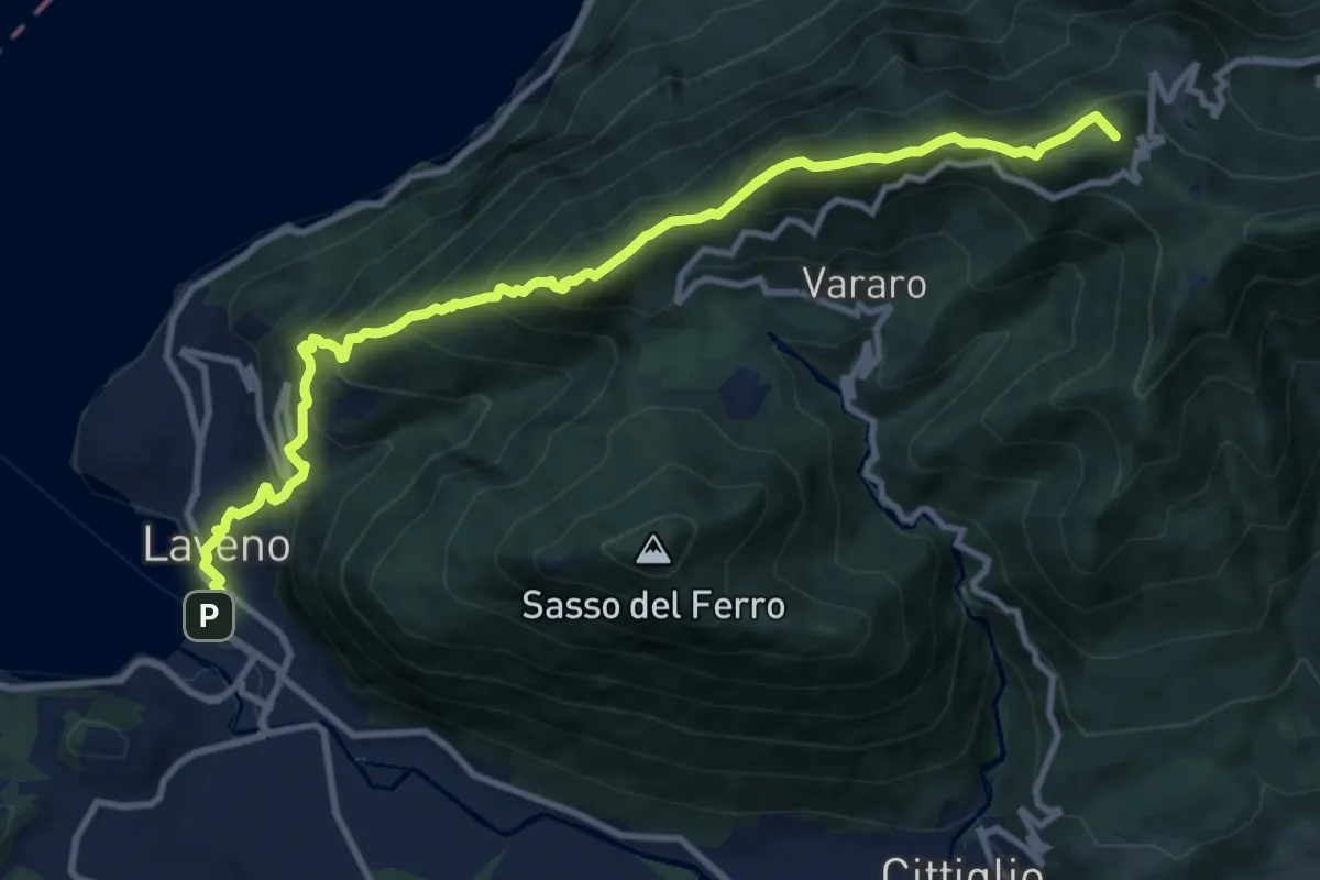
Demanding · Summit
Grand Tour del Lago Maggiore ® - Tappa 6 - Laveno - Porto Valtravaglia
11.8 km · ↑ 1067 m · 5 h 5 min · 5 km away
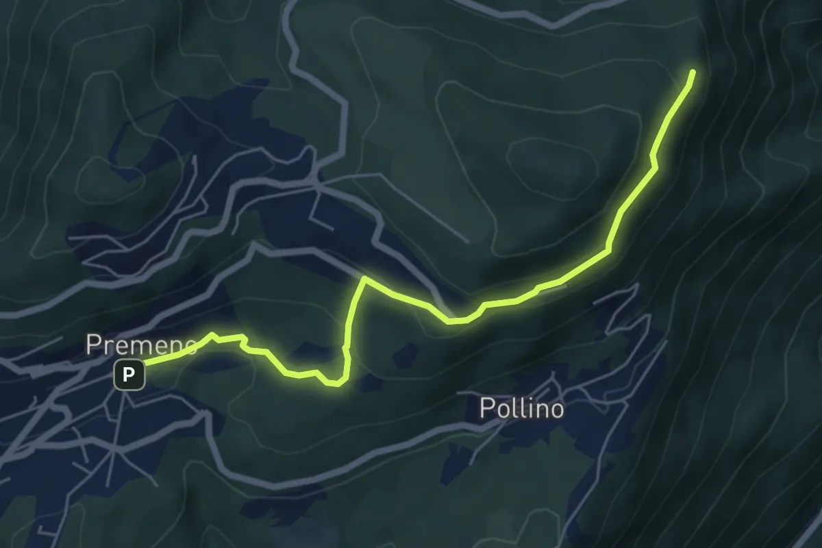
Easy · Trail
R02a Premeno - Pizzo d'Omo (bivio R10)
5.8 km · ↑ 291 m · 1 h 59 min · 6 km away
Demanding · Trail
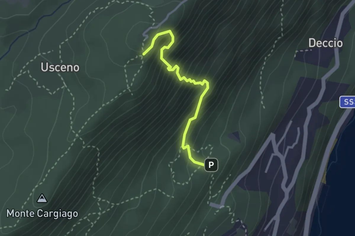
R16a Diramazione R16 Sacro Monte di Ghiffa - Diramazione R16 Laghetto delle Streghe (Pollino)
2.6 km · ↑ 374 m · 1 h 25 min · 6 km away
Demanding · Trail
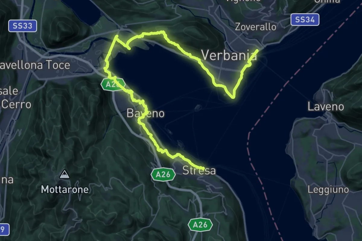
Grand Tour del Lago Maggiore ® - Tappa 1 - Verbania Intra - Stresa
23.6 km · ↑ 594 m · 7 h 11 min · 6 km away
Demanding · Cabin
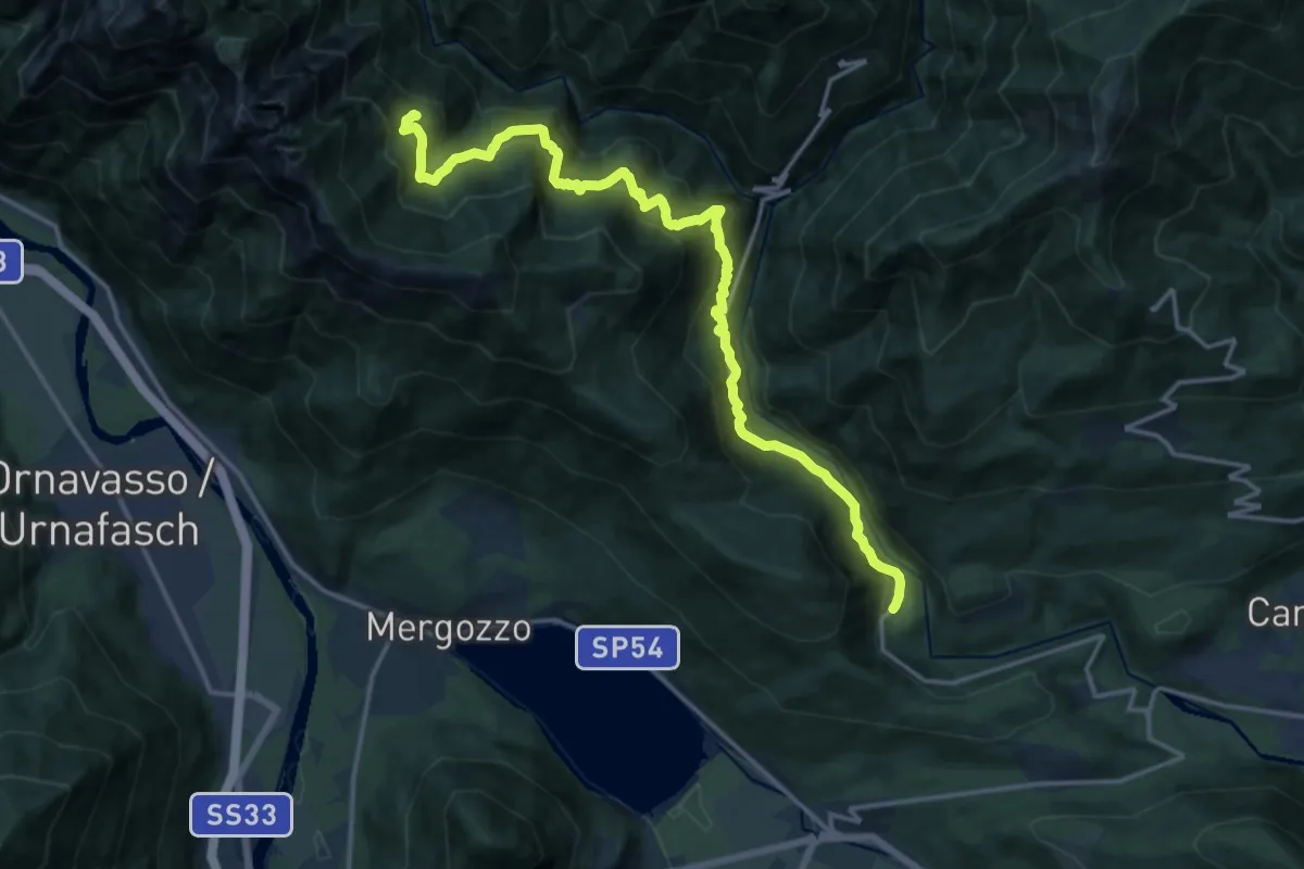
P07 - Rovegro - Alpe Buè
17.4 km · ↑ 1423 m · 7 h 12 min · 6 km away
Medium · Trail
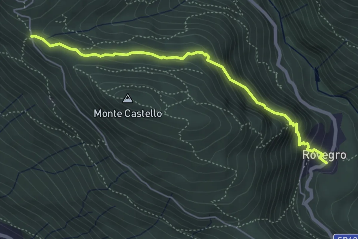
P05 - Cappella di Erfo - Rovegro
4.7 km · ↑ 341 m · 1 h 51 min · 6 km away