Trails near Verbania
297 hikes starting within 15 km, nearest first.
Nearest first, page 2 of 7
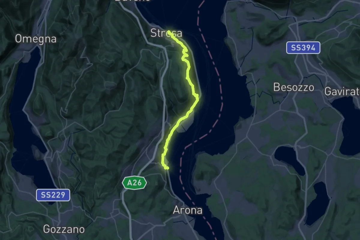
Medium · Trail
Cammino del Lago Maggiore
14.6 km · ↑ 450 m · 4 h 37 min · 6 km away
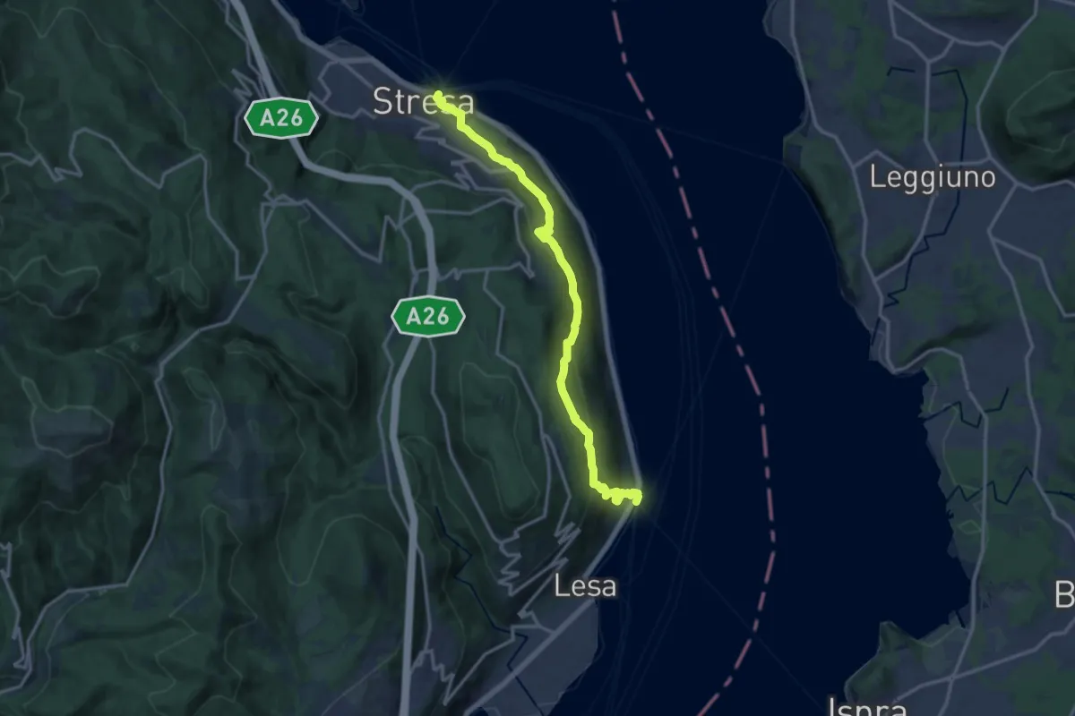
Medium · Trail
VL2 - Stresa - Belgirate
14.4 km · ↑ 634 m · 4 h 46 min · 6 km away
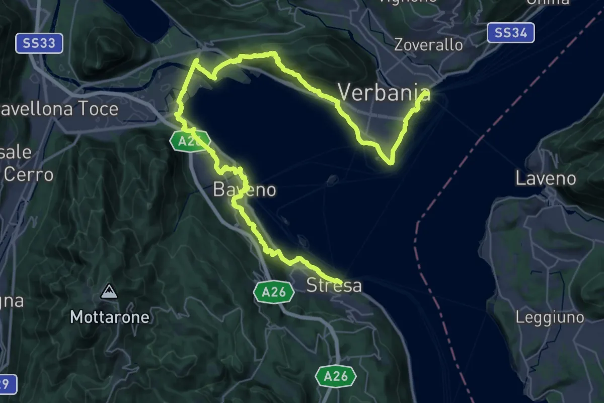
Demanding · Trail
Cammino del Lago Maggiore
23.0 km · ↑ 579 m · 7 h · 6 km away
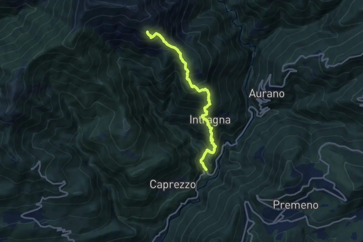
Demanding · Trail
km verticale Intragna
9.3 km · ↑ 949 m · 4 h 16 min · 6 km away
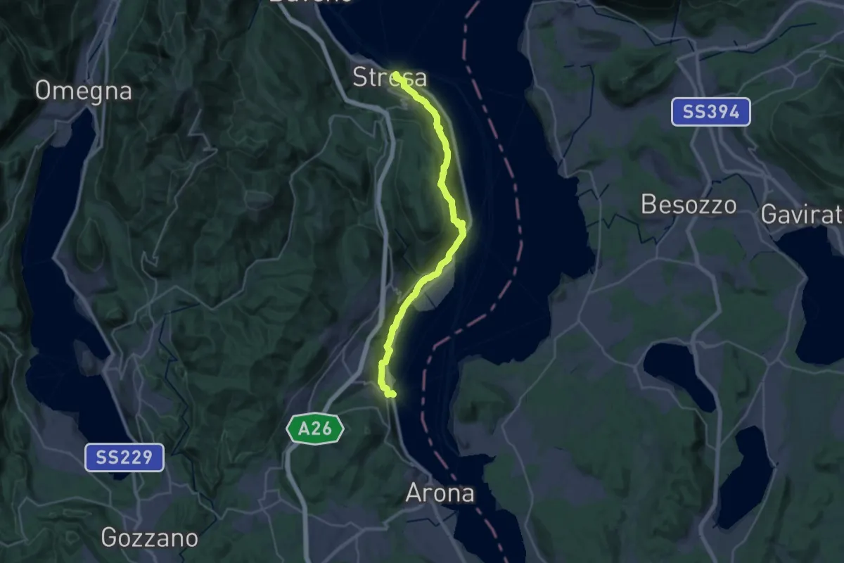
Medium · Trail
Grand Tour del Lago Maggiore ® - Tappa 2 - Stresa - Meina
13.8 km · ↑ 406 m · 4 h 20 min · 6 km away
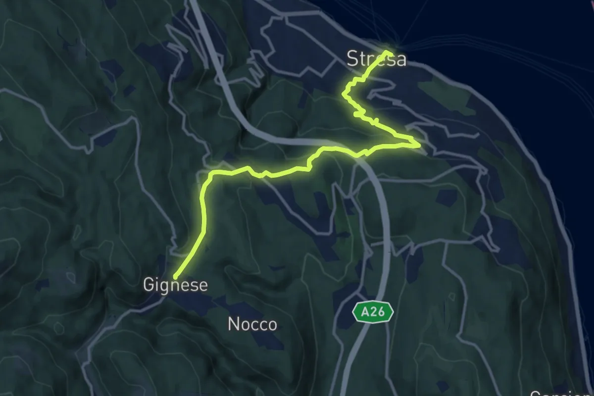
Medium · Trail
VL5 - Stresa - Gignese
12.2 km · ↑ 502 m · 3 h 59 min · 6 km away
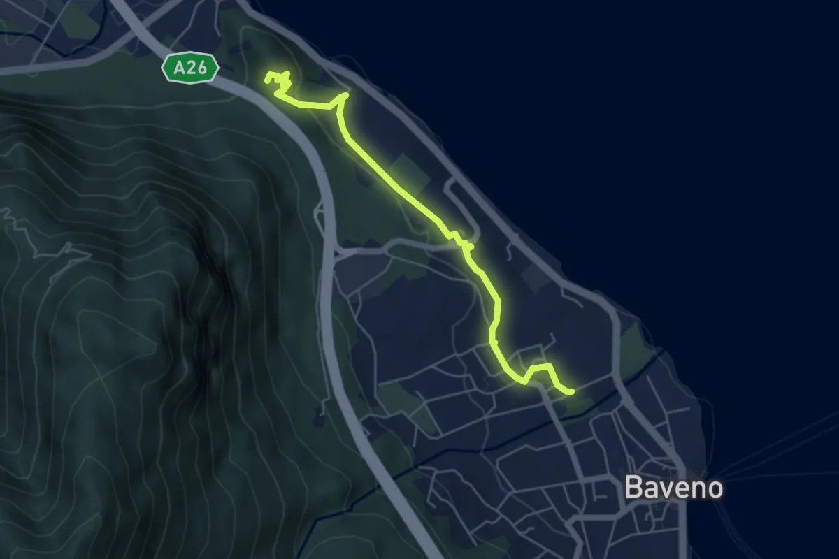
Easy · Trail
VM6 - Baveno - Torre di Feriolo
5.4 km · ↑ 121 m · 1 h 31 min · 6 km away
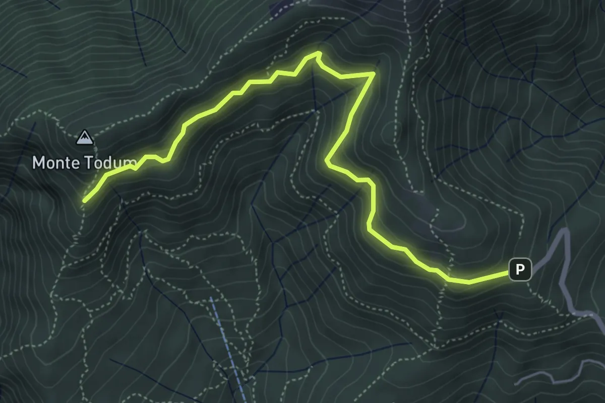
Medium · Trail
P02d - Cappella Fina - bivio P02 sotto Monte Todun
5.8 km · ↑ 511 m · 2 h 29 min · 6 km away
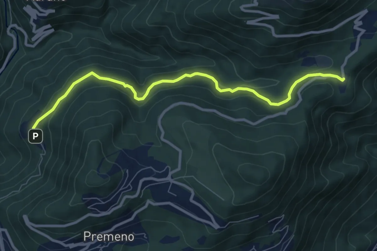
Medium · Trail
R12 - Esio - Luera
7.7 km · ↑ 376 m · 2 h 38 min · 6 km away
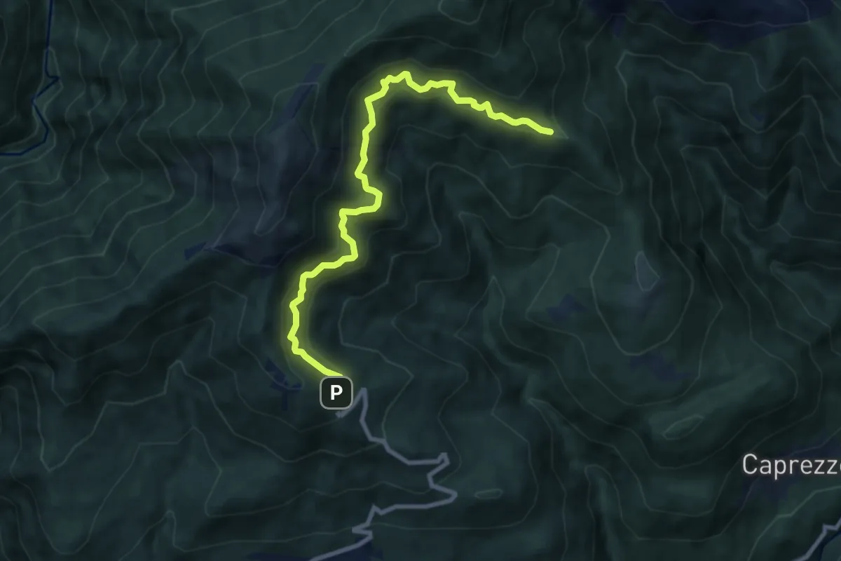
Medium · Trail
R03a Cappella Fina bivio R03 - Bivio R05 tra Cappella Porta e Cornala
8.6 km · ↑ 755 m · 3 h 40 min · 6 km away
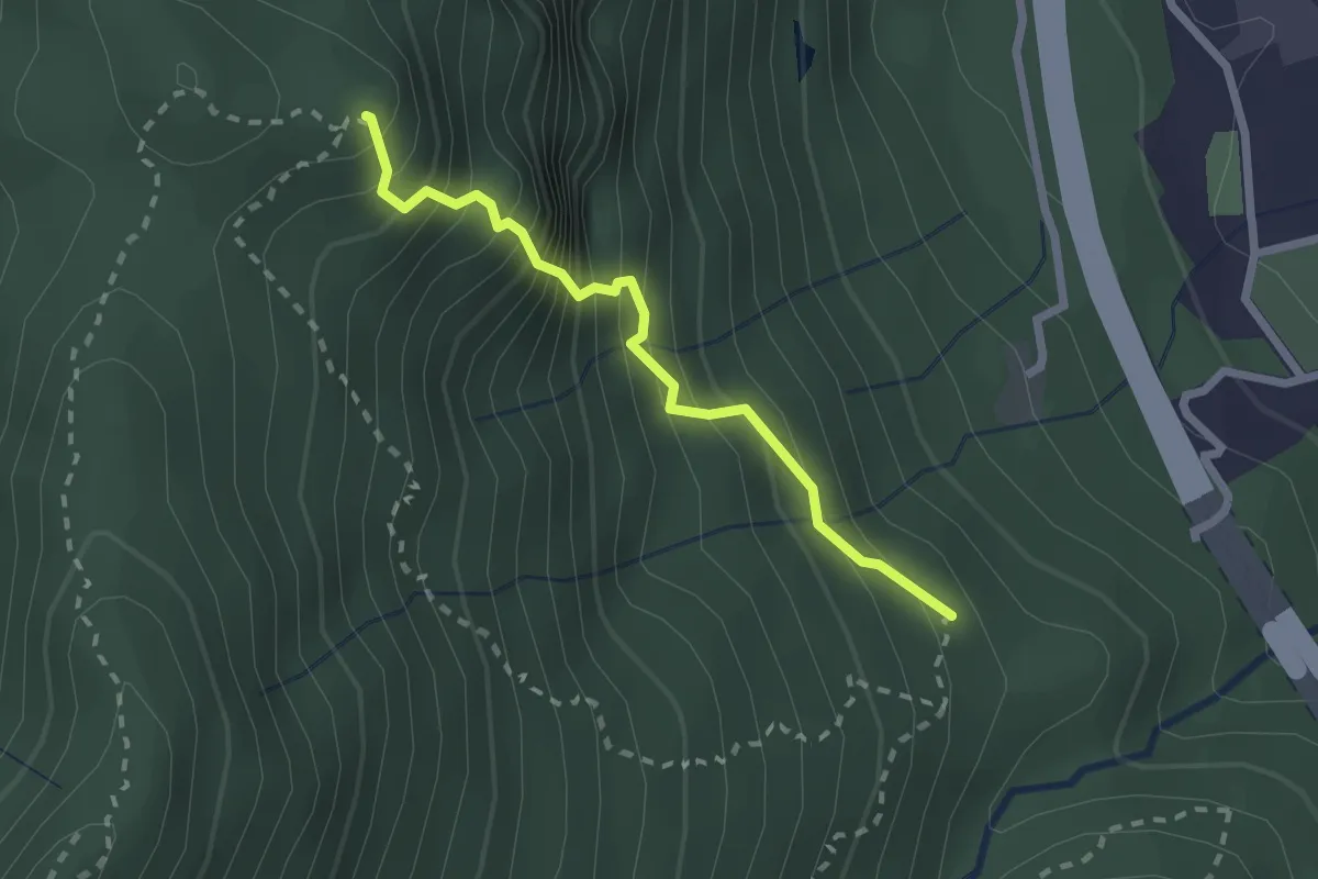
Medium · Summit
VM3b - Bivio VM3 - Croce Monte Camoscio
2.1 km · ↑ 406 m · 1 h 23 min · 6 km away
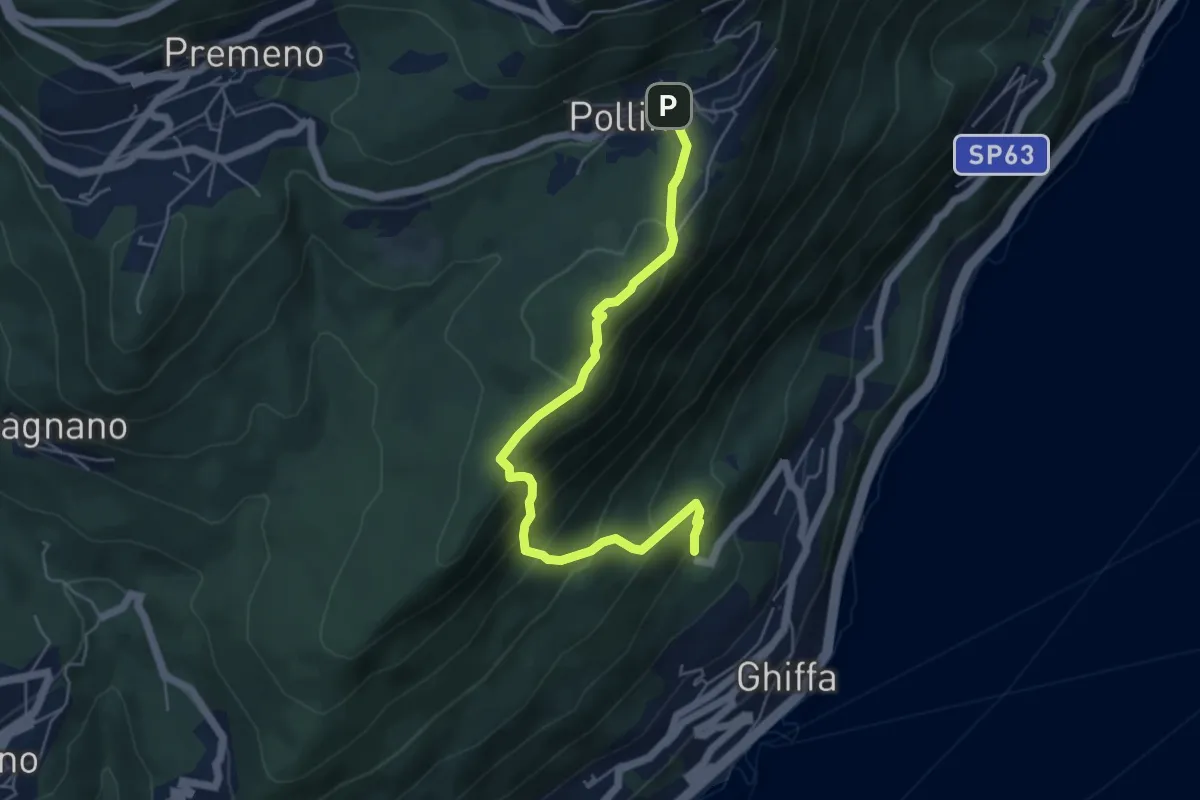
Medium · Trail
R16 Sacro Monte SS.Trinità di Ghiffa - Pollino
5.5 km · ↑ 436 m · 2 h 15 min · 6 km away
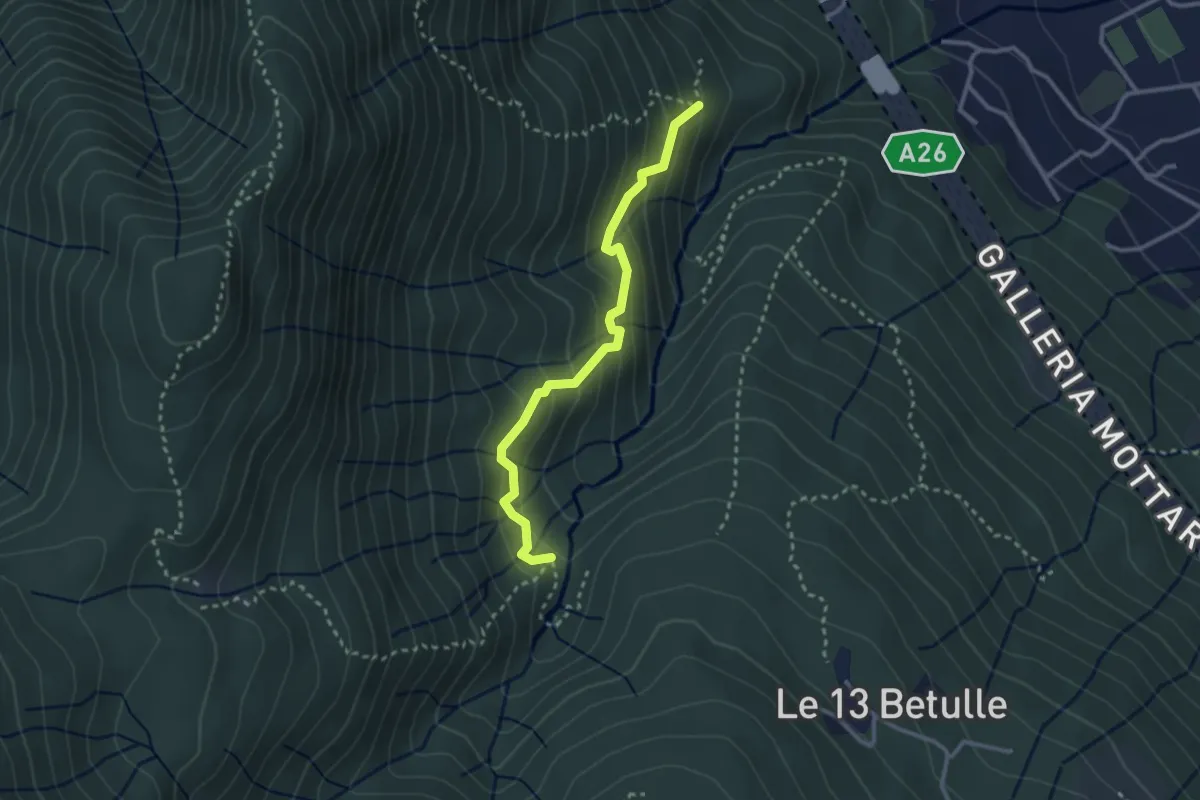
Demanding · Trail
VM3a - Bivio VM3 - Bivio VM2
2.8 km · ↑ 281 m · 1 h 17 min · 6 km away
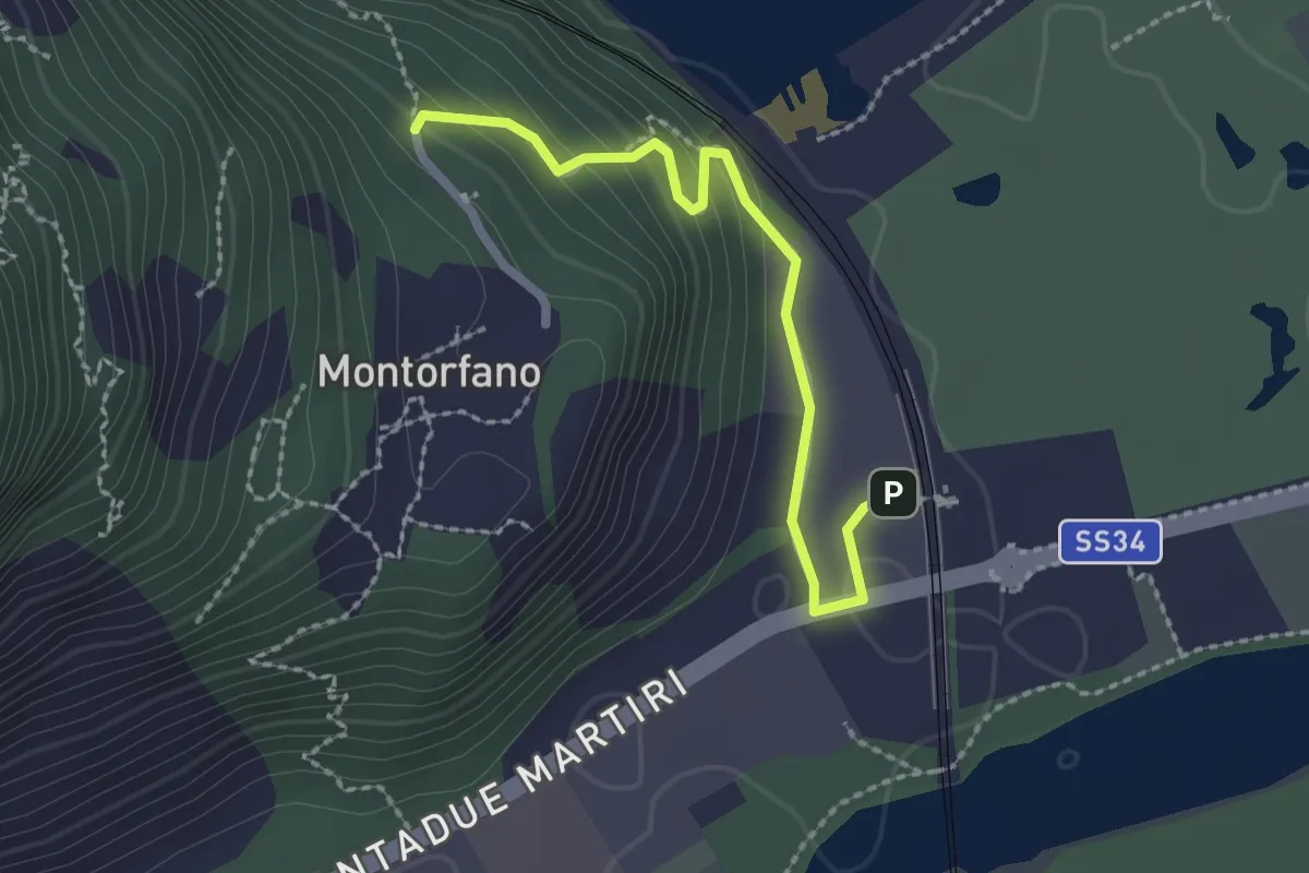
Easy · Trail
A56a - Stazione FS Verbania - Bivio A56 presso Montorfano paese
2.2 km · ↑ 127 m · 48 min · 7 km away
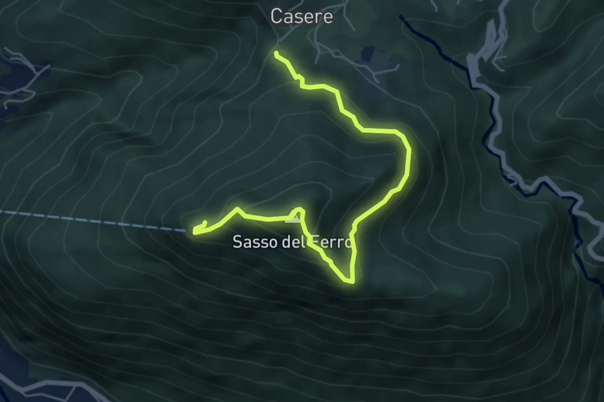
Medium · Summit
Casere – Sasso del Ferro-Casere
2.7 km · ↑ 320 m · 1 h 17 min · 7 km away
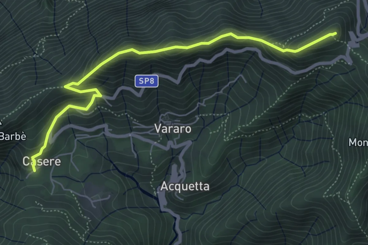
Demanding · Summit
Casere – P.so Cuvignone
6.1 km · ↑ 382 m · 2 h 16 min · 7 km away
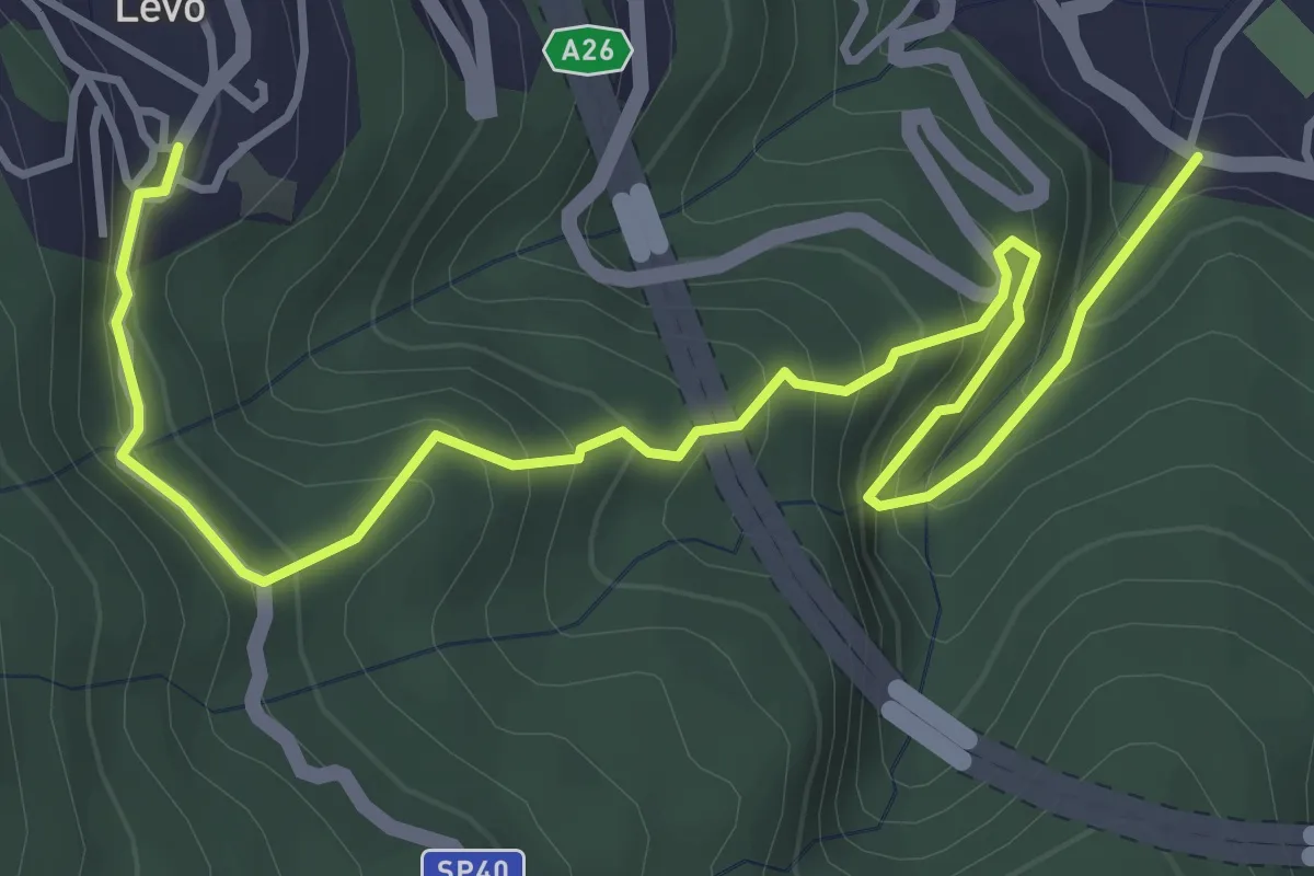
Medium · Trail
VL6 - Stresa - Levo
5.4 km · ↑ 565 m · 2 h 29 min · 7 km away
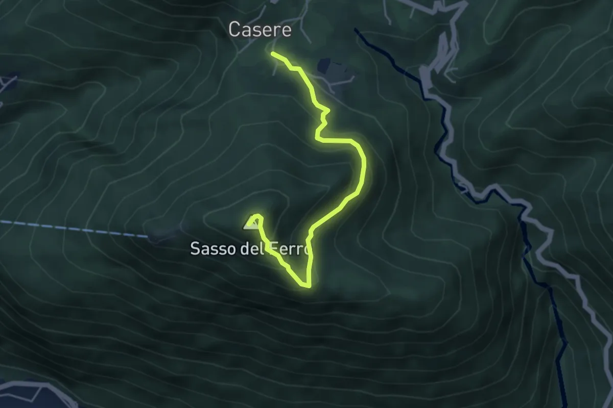
Medium · Summit
Casere – Piana-Sasso del Ferro
4.2 km · ↑ 298 m · 1 h 39 min · 7 km away
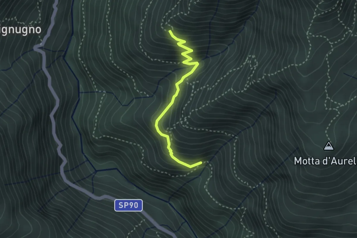
Medium · Trail
P00d - Alpe Miunchio - Nolezzo
3.0 km · ↑ 265 m · 1 h 16 min · 7 km away
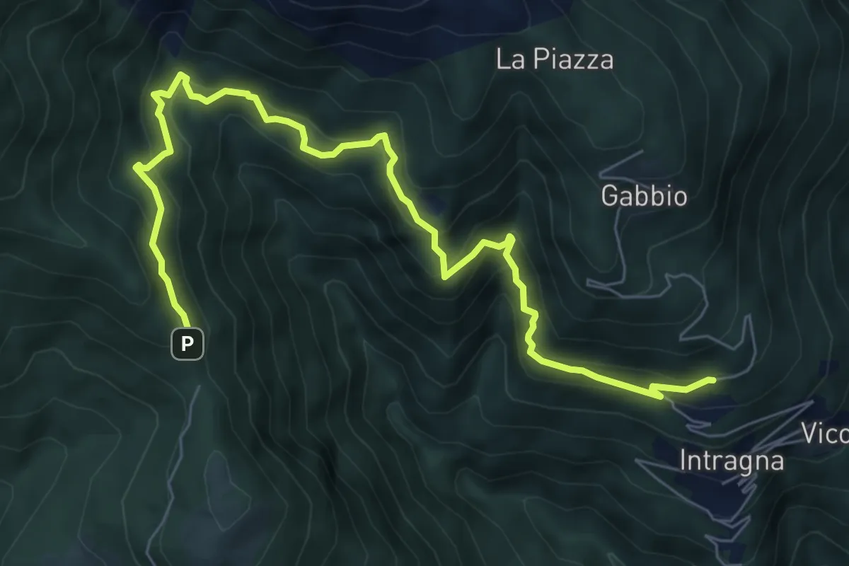
Demanding · Trail
R07a Cambiesso - Cappella Porta
8.4 km · ↑ 755 m · 3 h 37 min · 7 km away
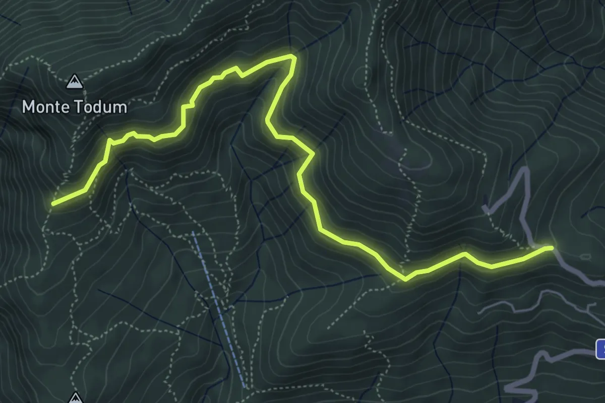
Medium · Trail
P02c - Memoriale Alpini - Alpe della Chiesa
6.8 km · ↑ 379 m · 2 h 25 min · 7 km away
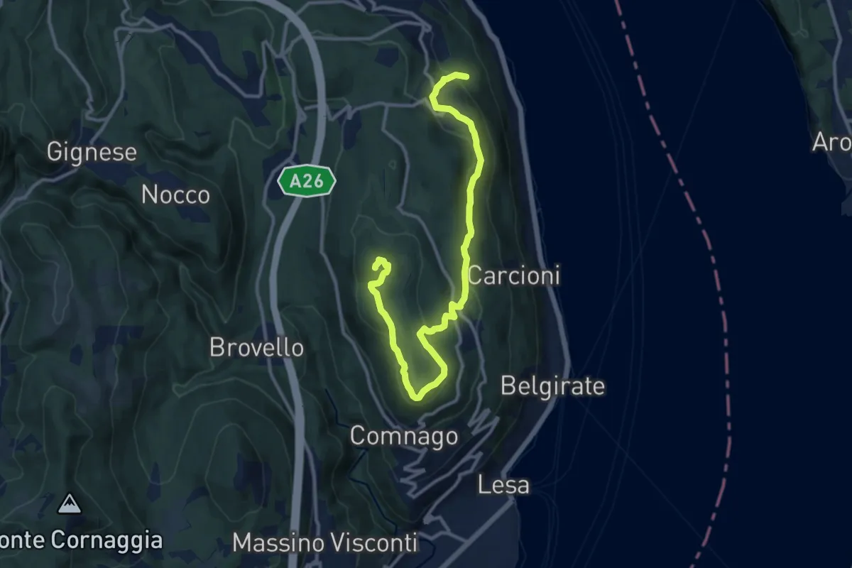
Medium · Summit
VL3 - Sant'Albino - Motta Rossa
13.0 km · ↑ 413 m · 3 h 57 min · 7 km away
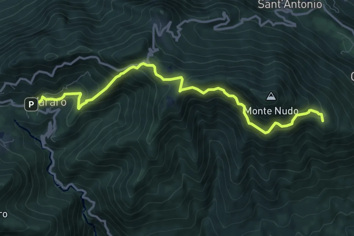
Medium · Summit
205 3V (Tappa 5 Via Verde Varesina)
9.7 km · ↑ 797 m · 4 h 1 min · 7 km away
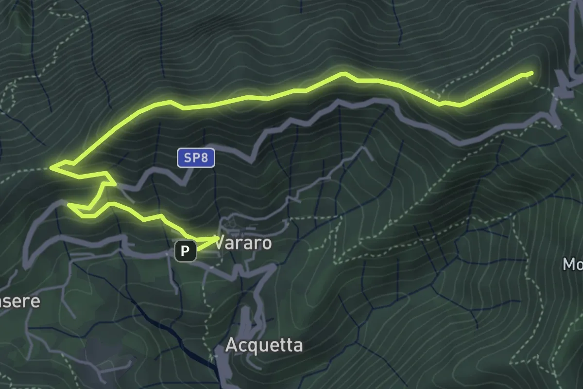
Demanding · Summit
Vararo – P.so Cuvignone
6.5 km · ↑ 418 m · 2 h 26 min · 7 km away
Medium · Summit
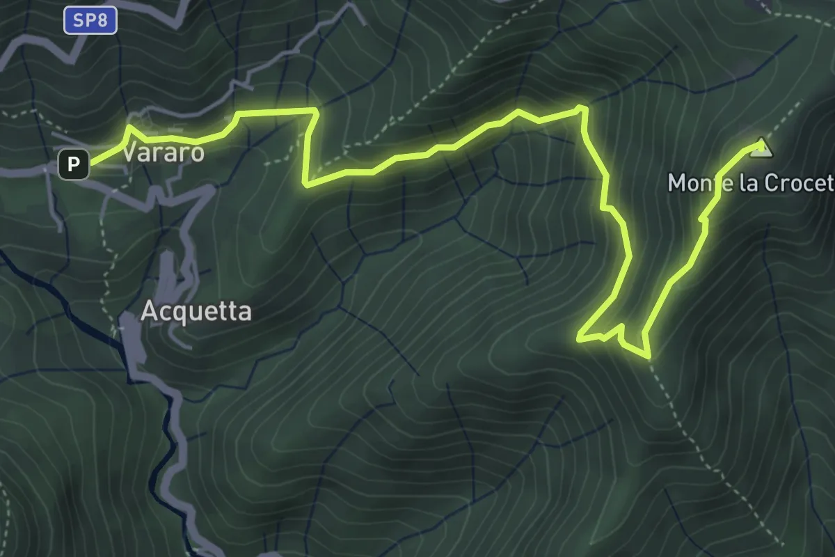
Vararo – Crocetta-P.so Cuvignone
6.2 km · ↑ 410 m · 2 h 21 min · 7 km away
Medium · Trail
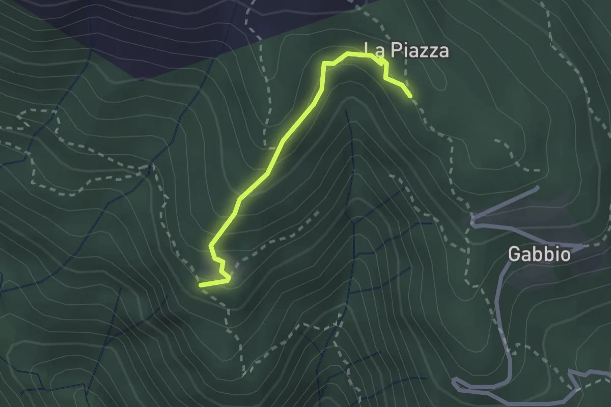
XR1A - Steppio - La Piazza
1.9 km · ↑ 173 m · 50 min · 7 km away
Medium · Trail
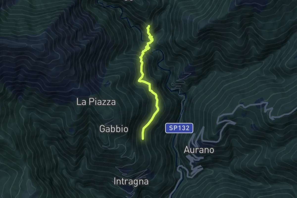
R09a Corpetto - Bivio R11 Cappella sopra Ponte del Dragone
5.4 km · ↑ 549 m · 2 h 27 min · 8 km away
Medium · Trail
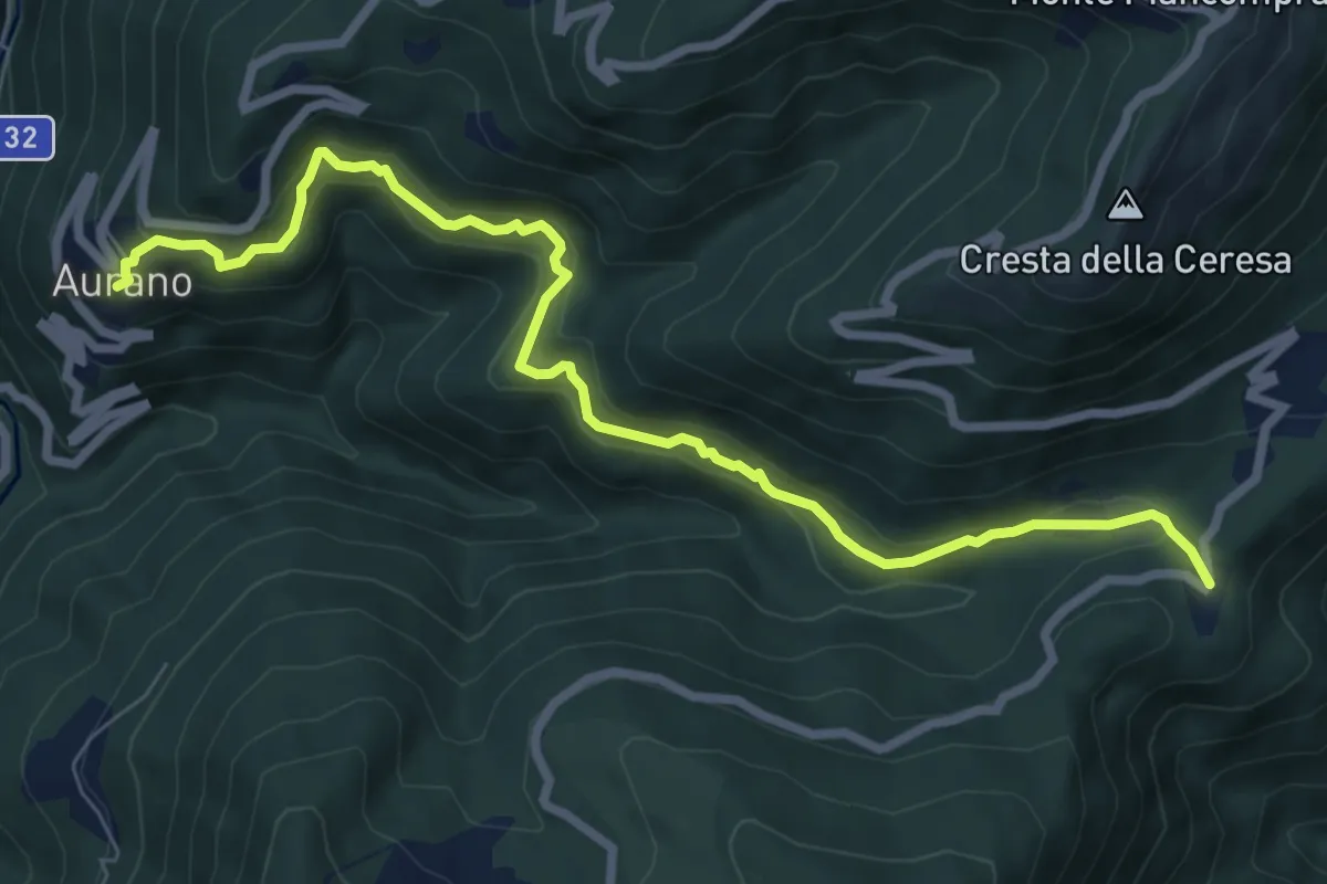
R14 Aurano - Luera
8.4 km · ↑ 436 m · 2 h 56 min · 8 km away
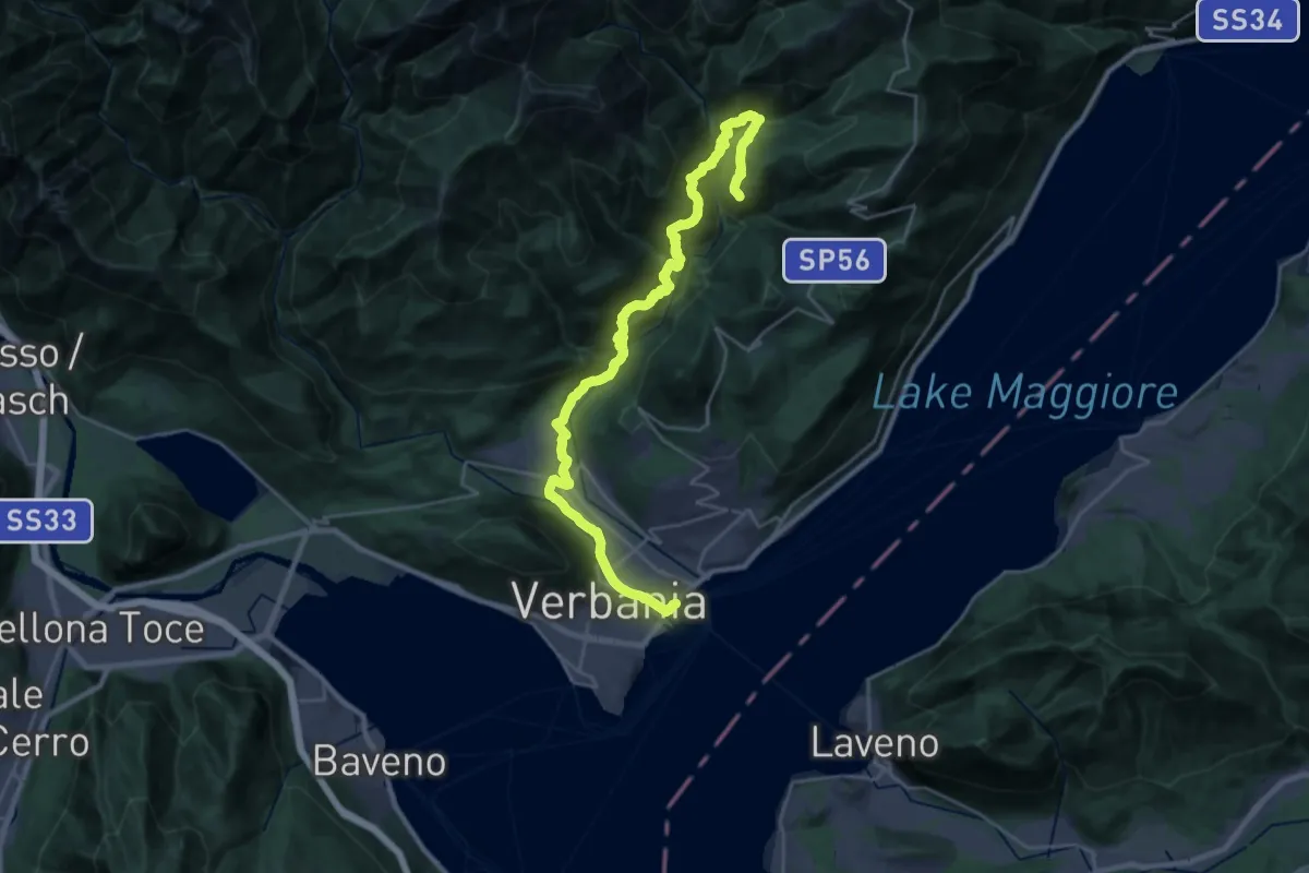
Medium · Trail
R00 Verbania Intra P.le Flaim - Trobaso - Cambiasca - Caprezzo - Intragna - Aurano
16.0 km · ↑ 602 m · 5 h 33 min · 8 km away
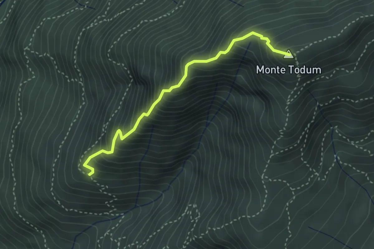
Expert · Summit
XP0B - Filo di Nolezzo
3.2 km · ↑ 543 m · 1 h 56 min · 8 km away
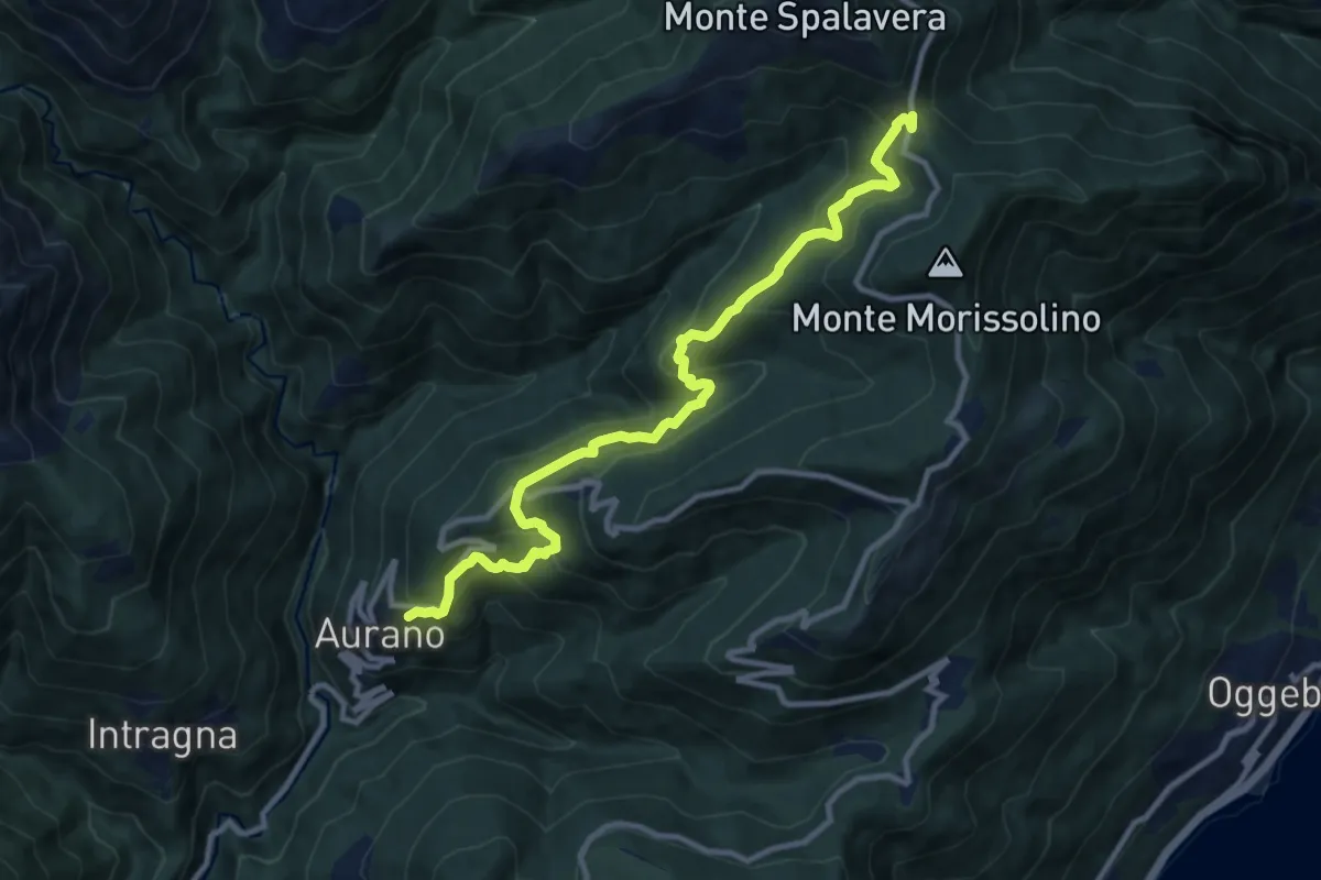
Medium · Trail
R15 Aurano - Calpera - il Colle
11.2 km · ↑ 750 m · 4 h 16 min · 8 km away
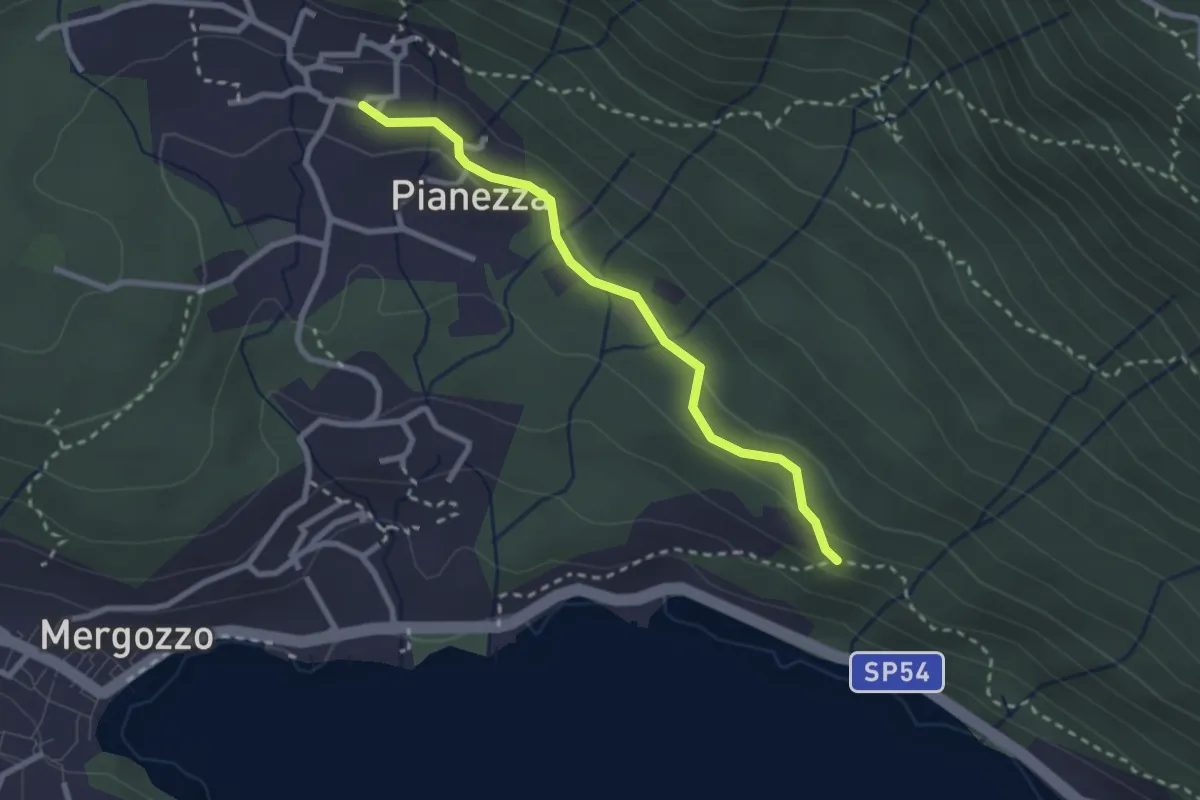
Easy · Trail
A52f - Bivio A00 - Bracchio bivio A52
2.5 km · ↑ 72 m · 45 min · 8 km away
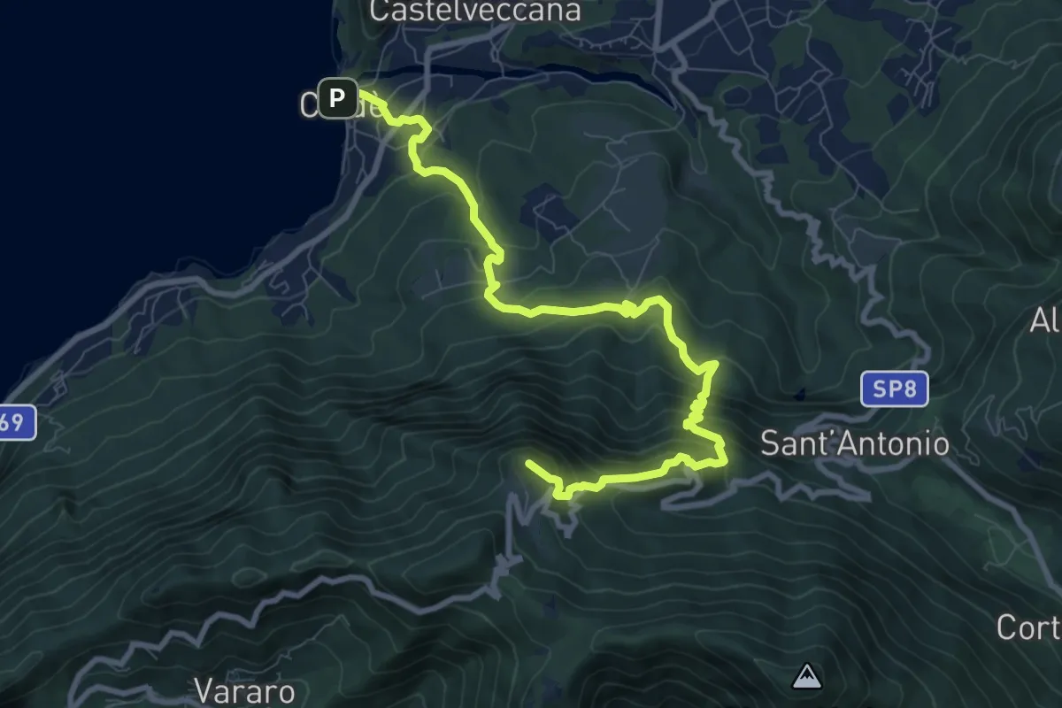
Demanding · Summit
Caldè – Rifugio Adamoli
10.0 km · ↑ 858 m · 4 h 14 min · 8 km away
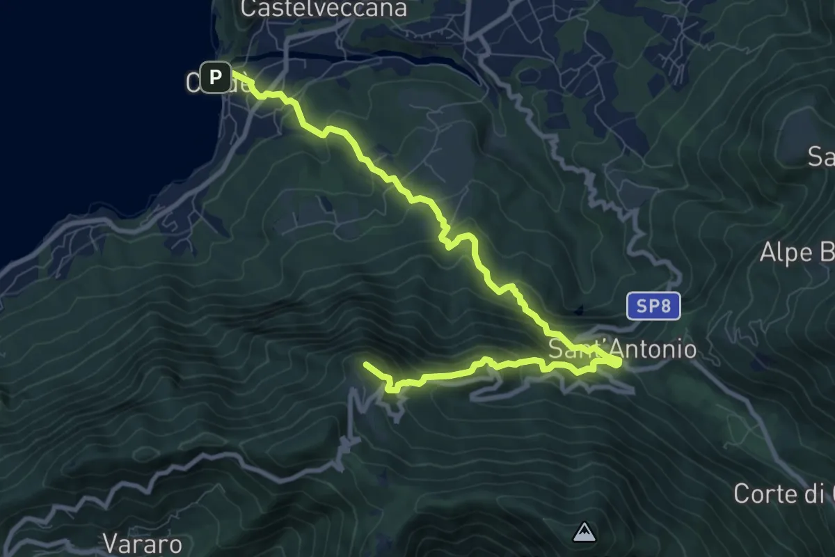
Demanding · Summit
Calde – Rifugio Adamoli
10.9 km · ↑ 888 m · 4 h 30 min · 8 km away
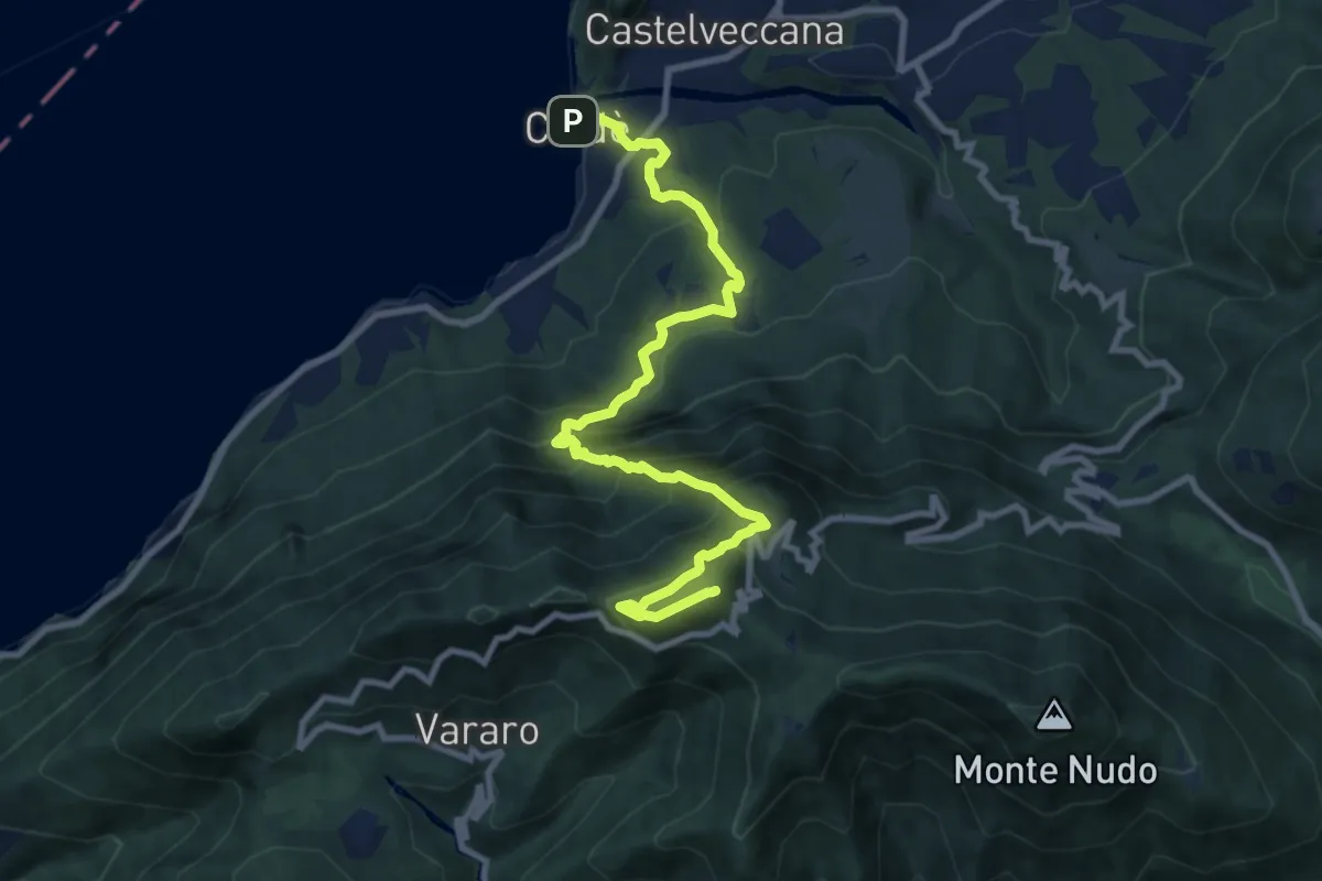
Demanding · Summit
225 Caldè-Rif. Adamoli-P.so Cuvignone
10.6 km · ↑ 1074 m · 4 h 49 min · 8 km away
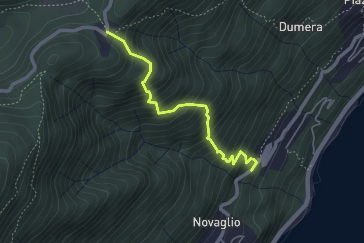
Medium · Trail
R18 Camogno - Luera
3.5 km · ↑ 485 m · 1 h 53 min · 8 km away
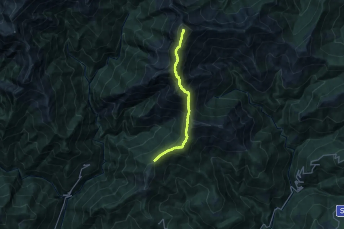
Expert · Summit
SENTIERO BOVE - 2A TAPPA Pian Cavallone - Monte Zeda - Bivacco Alpe Forna'
11.5 km · ↑ 993 m · 4 h 51 min · 8 km away
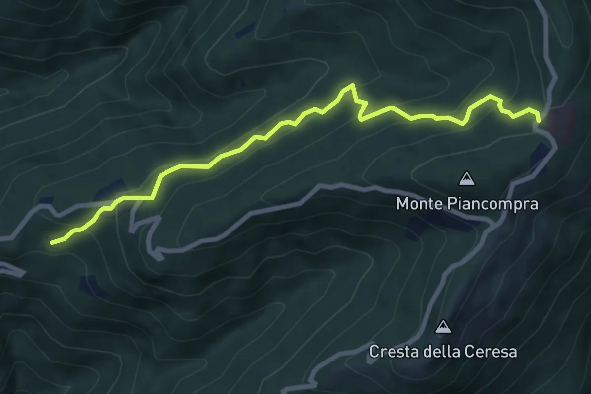
Medium · Trail
R15a Bivio R15 Alpe Segletta - Piancavallo
6.1 km · ↑ 461 m · 2 h 26 min · 8 km away
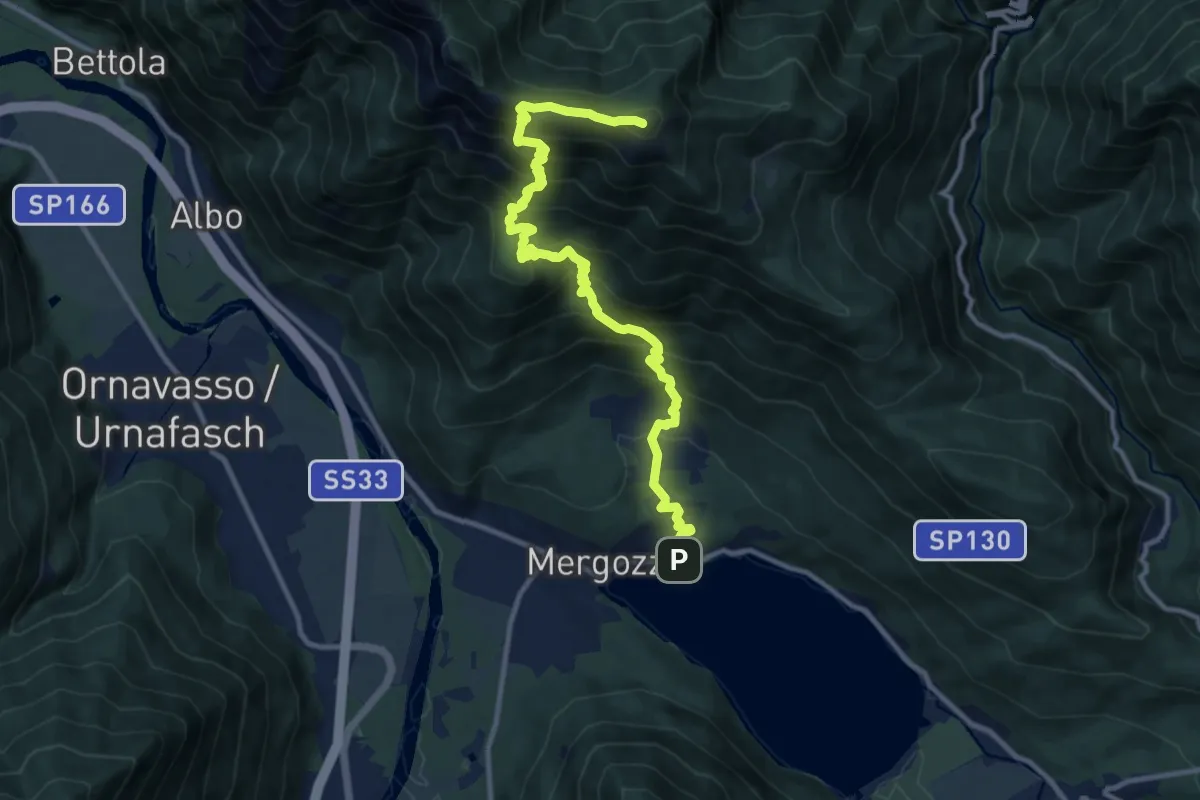
Demanding · Summit
A52 - Mergozzo - Bracchio - Vercio - Monte Faiè
12.6 km · ↑ 1272 m · 5 h 44 min · 8 km away
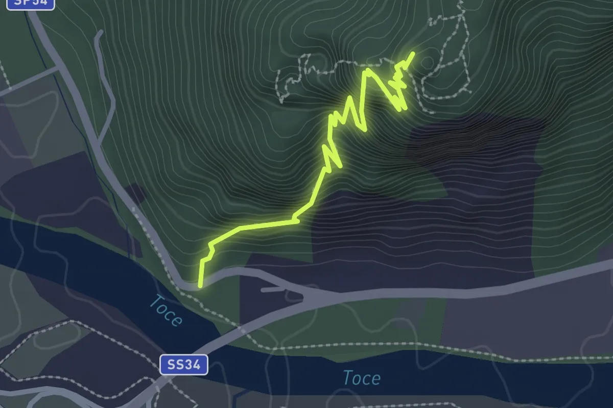
Demanding · Trail
A58b - Mulattiera militare parete sud del Montorfano
2.7 km · ↑ 671 m · 2 h 6 min · 8 km away
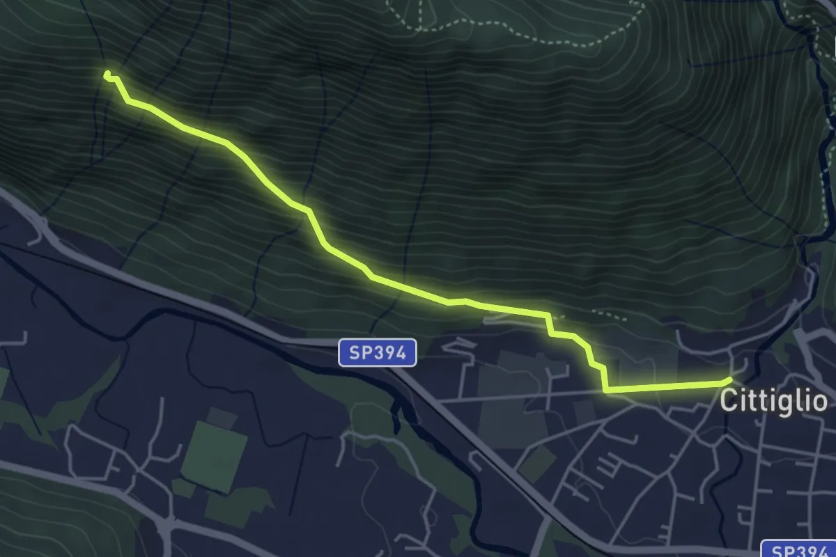
Medium · Trail
204 3V variante
4.6 km · ↑ 385 m · 1 h 55 min · 9 km away
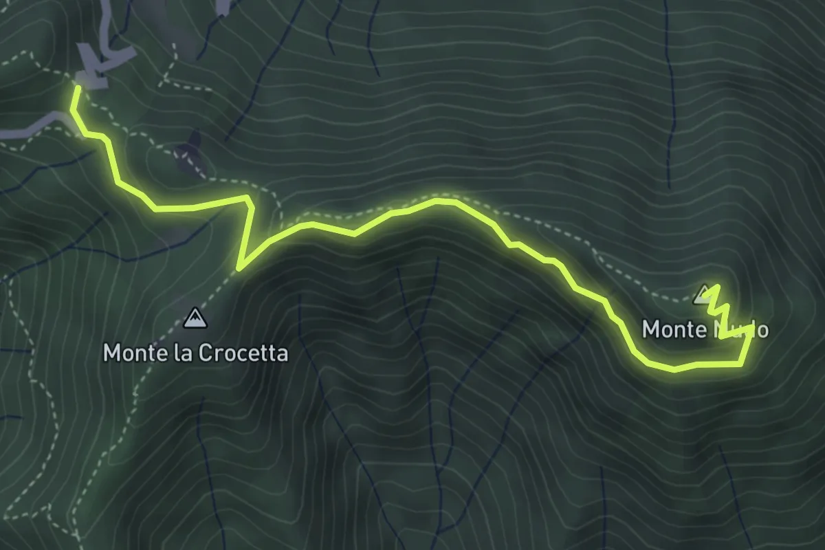
Expert · Summit
Passo Cuvignone – Monte Nudo
5.0 km · ↑ 271 m · 1 h 47 min · 9 km away
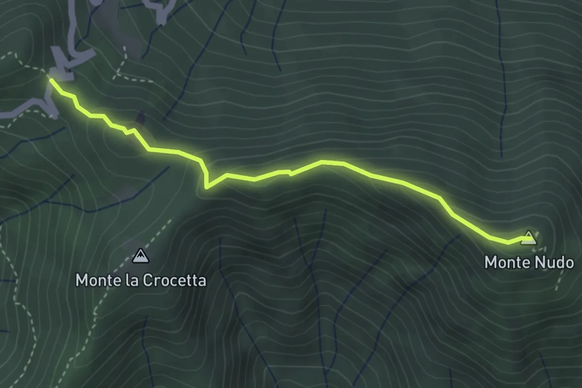
Demanding · Summit
Passo Cuvignone – Pozzopiano
3.5 km · ↑ 183 m · 1 h 13 min · 9 km away
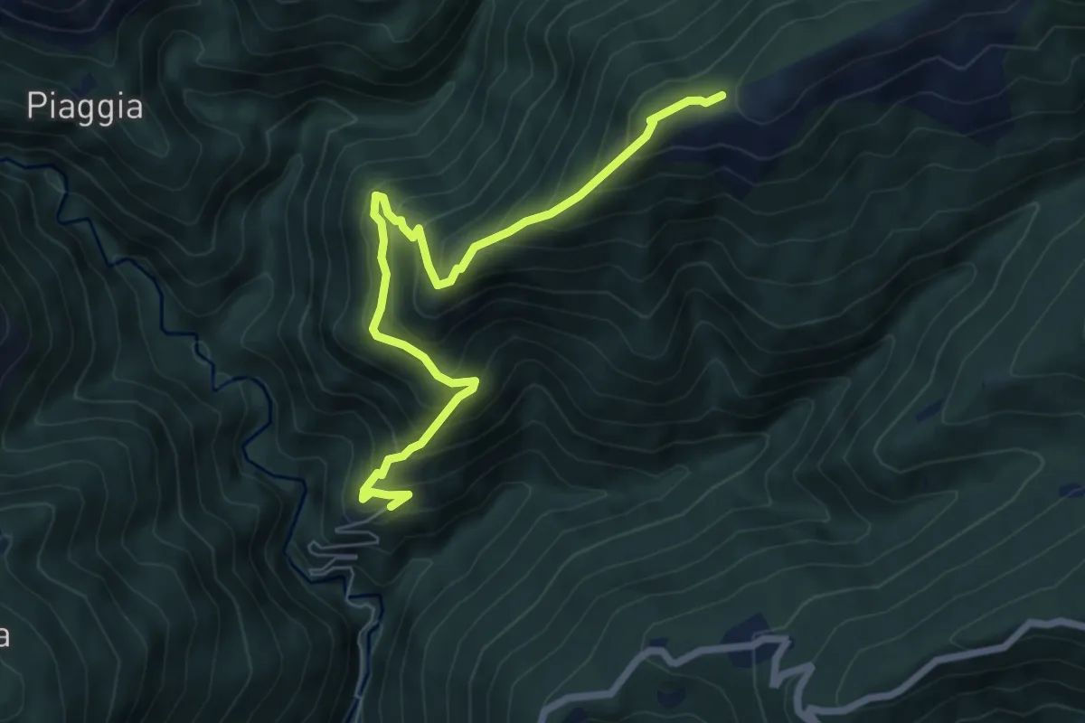
Medium · Trail
R13 Scareno - Pian d'Arla
7.1 km · ↑ 719 m · 3 h 14 min · 9 km away
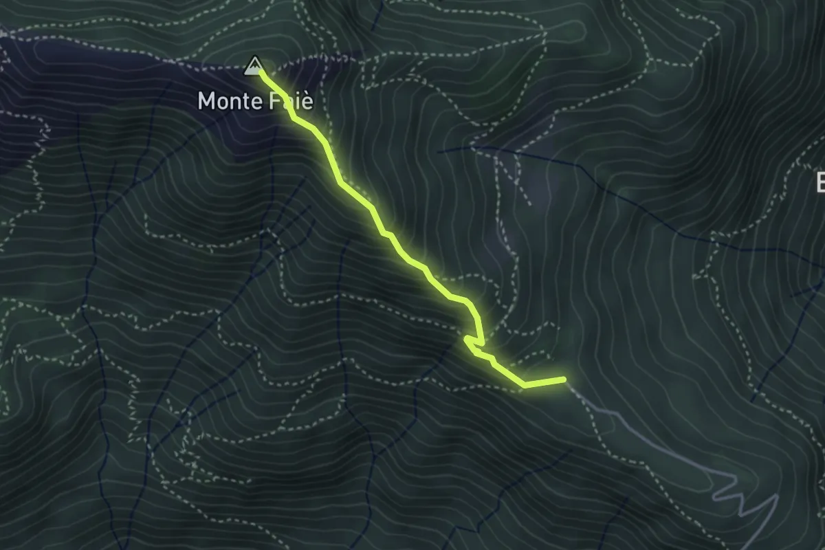
Medium · Summit
A54a - Alpe Ruspesso - Monte Faiè
3.0 km · ↑ 392 m · 1 h 34 min · 9 km away
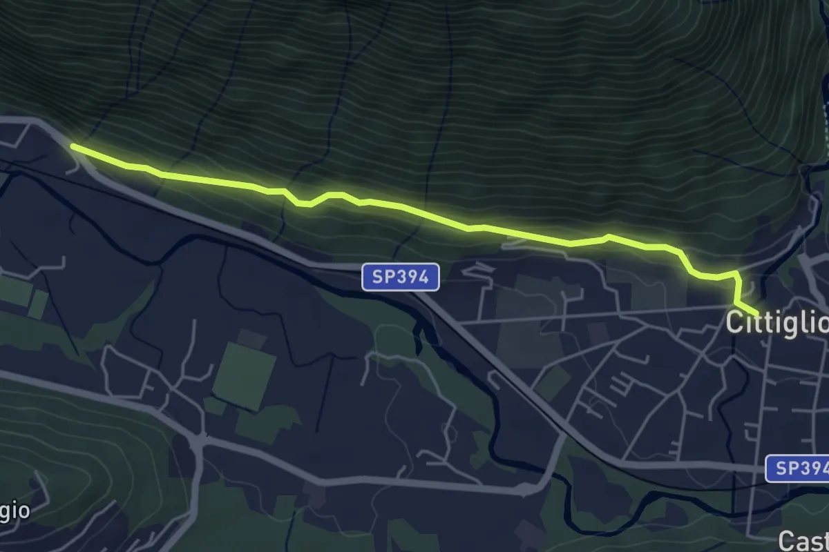
Easy · Trail
Cittiglio – Incrocio con Strada statale
4.7 km · ↑ 221 m · 1 h 36 min · 9 km away
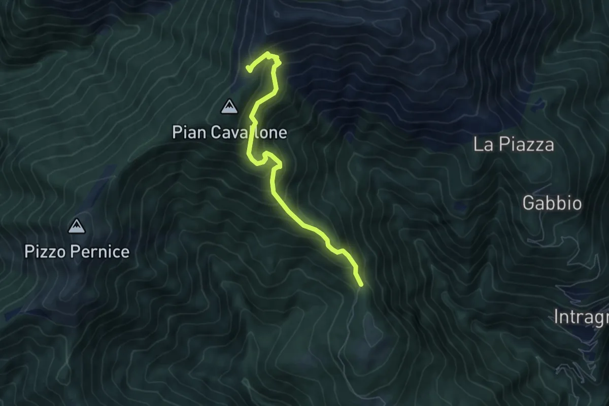
Medium · Trail
All' ombra degli abeti
6.1 km · ↑ 598 m · 2 h 44 min · 9 km away
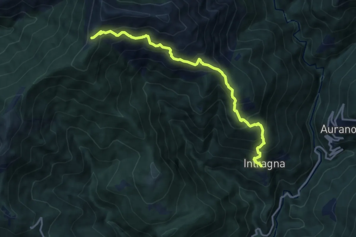
Demanding · Trail
R07 Intragna - Cappella del Pian Cavallone
9.8 km · ↑ 1005 m · 4 h 29 min · 9 km away