Trails near Verbania
297 hikes starting within 15 km, nearest first.
Nearest first, page 3 of 7
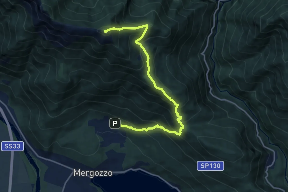
Demanding · Summit
A54 - Bracchio - Cappella di Erfo - Monte Faiè
10.9 km · ↑ 1016 m · 4 h 46 min · 9 km away
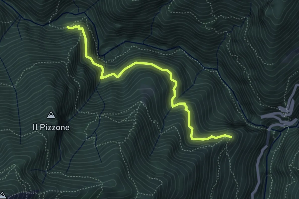
Demanding · Trail
P07a - Cappella Or Vergugn - Ponte Velina
5.1 km · ↑ 523 m · 2 h 20 min · 9 km away
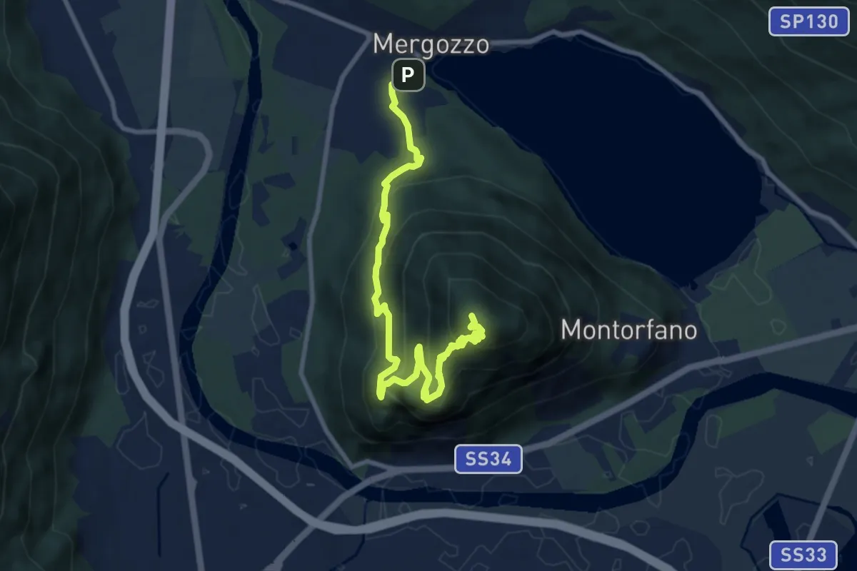
Medium · Summit
A58 - Mergozzo - Linea Cadorna - Mont'Orfano vetta
10.0 km · ↑ 770 m · 4 h 1 min · 9 km away
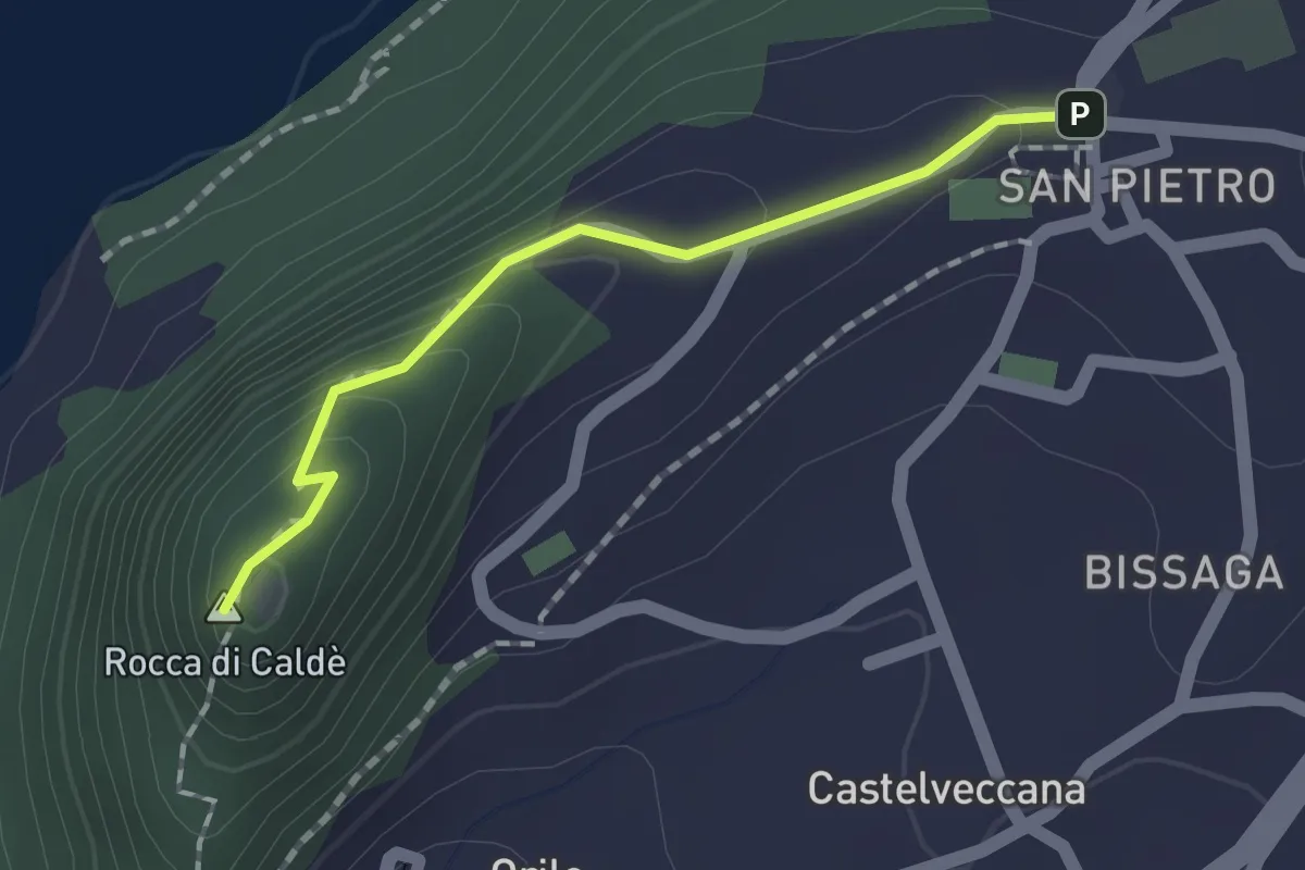
Easy · Summit
Grand Tour del Lago Maggiore ® - Tappa 6 - Variante sommità Rocca di Caldè
1.4 km · ↑ 78 m · 30 min · 9 km away
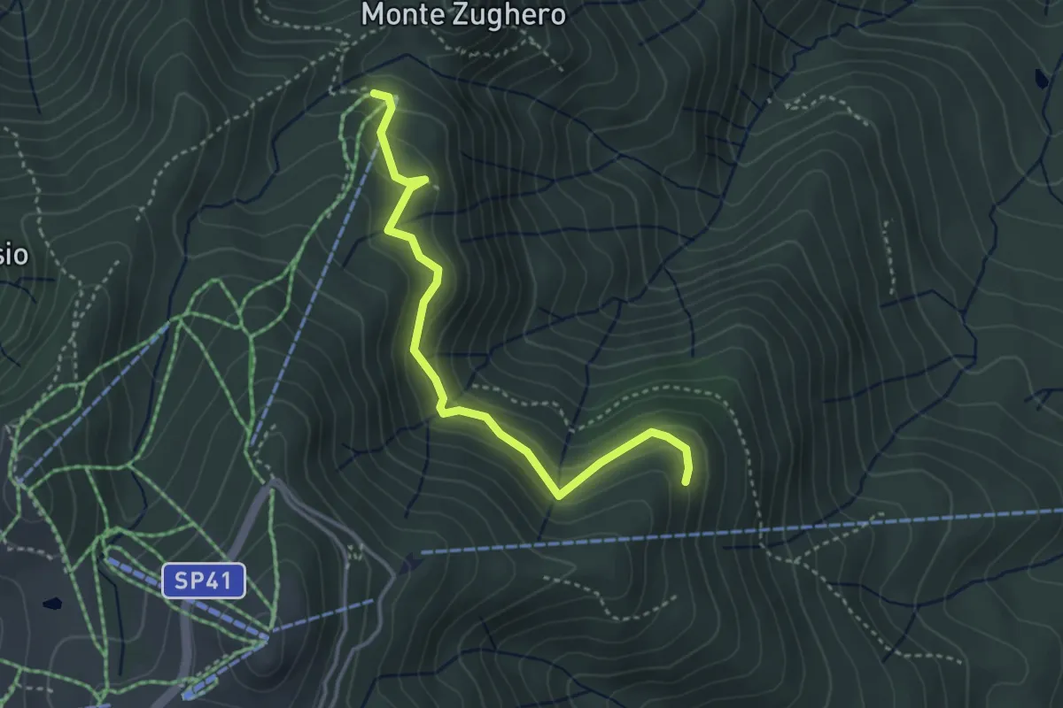
Medium · Cabin
VM3c - Alpe Nuovo - Bivio VL1
3.6 km · ↑ 263 m · 1 h 25 min · 9 km away
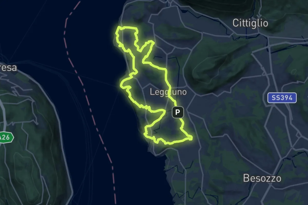
Medium · Summit
289A Anello di Santa Caterina
17.4 km · ↑ 385 m · 5 h 11 min · 9 km away
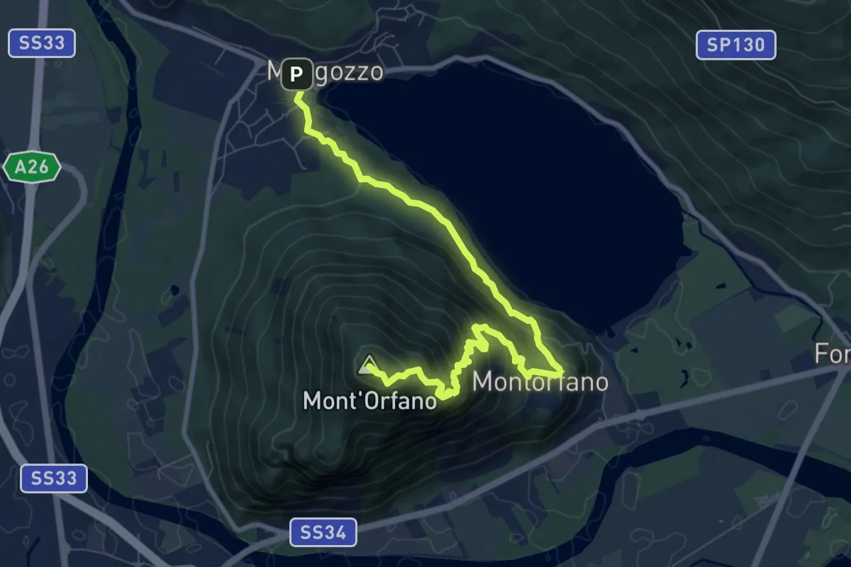
Medium · Summit
A56 - Mergozzo - Sentiero Azzurro - Mont'Orfano vetta
9.7 km · ↑ 750 m · 3 h 55 min · 9 km away
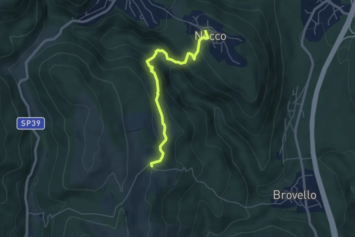
Medium · Trail
VL7a - Nocco - Alpe Martin
4.6 km · ↑ 259 m · 1 h 39 min · 9 km away
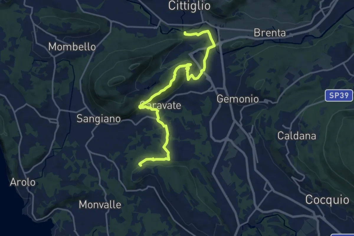
Medium · Trail
285 Cittiglio/Cascina Gravezzano
14.1 km · ↑ 394 m · 4 h 11 min · 9 km away
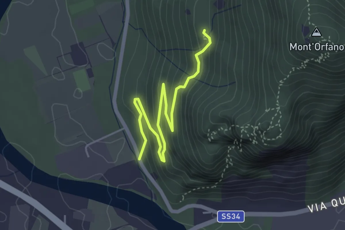
Easy · Trail
A58a - Prato Michelaccio - bivio A58
4.2 km · ↑ 254 m · 1 h 32 min · 9 km away
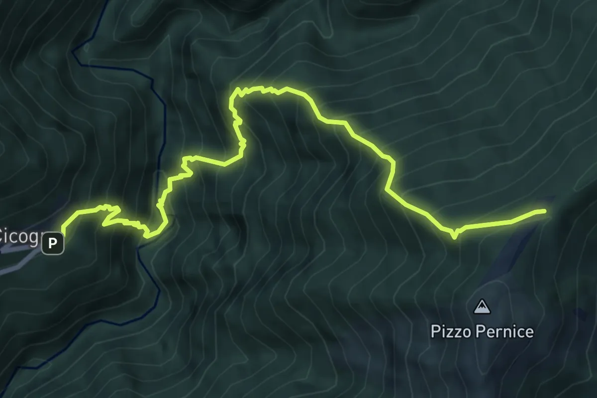
Demanding · Trail
SENTIERO BOVE - 1A TAPPA da Cicogna a Pian Cavallone
7.8 km · ↑ 1241 m · 4 h 31 min · 9 km away
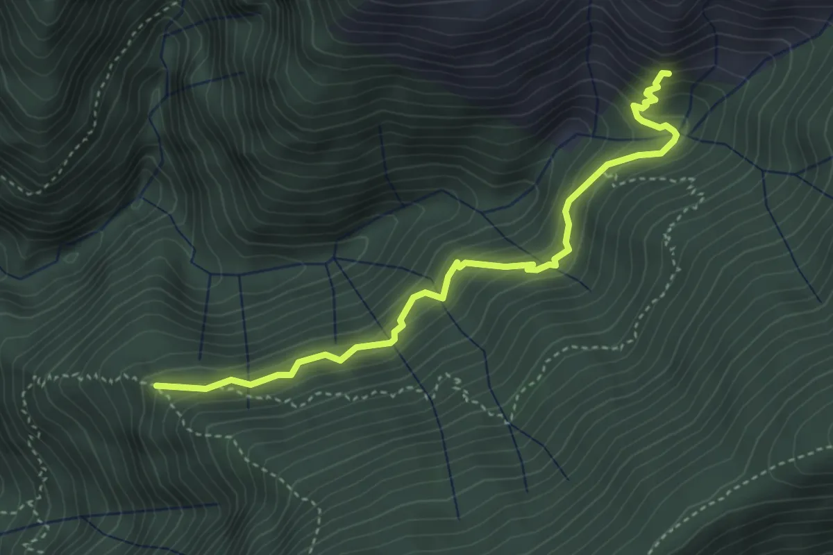
Medium · Trail
Alpe Varola - Corte Morgin
4.1 km · ↑ 383 m · 1 h 48 min · 9 km away
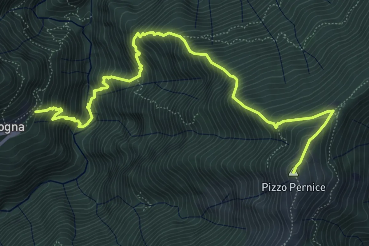
Demanding · Summit
P06 - Cicogna - Varola - Curgei - Pizzo Pernice
8.4 km · ↑ 1301 m · 4 h 49 min · 9 km away
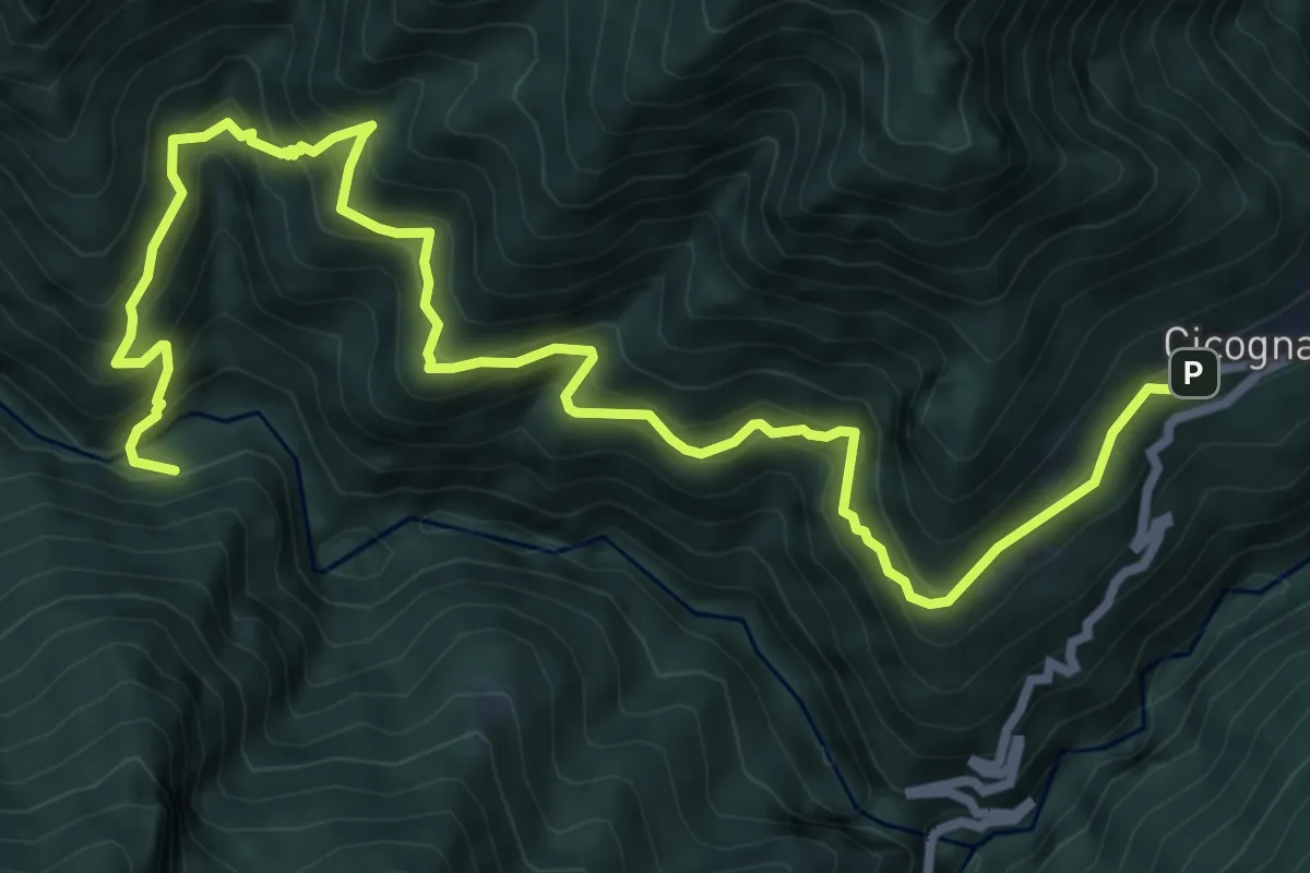
Demanding · Trail
P09 - Cicogna - Ponte Velina
10.6 km · ↑ 1038 m · 4 h 45 min · 9 km away
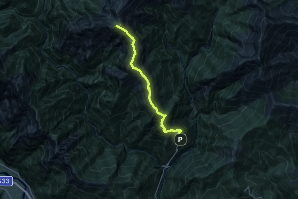
Expert · Summit
SENTIERO BOVE - 6A TAPPA da Bivacco Bta di Campo a Cicogna via Cima Sasso
14.6 km · ↑ 1692 m · 7 h 7 min · 9 km away
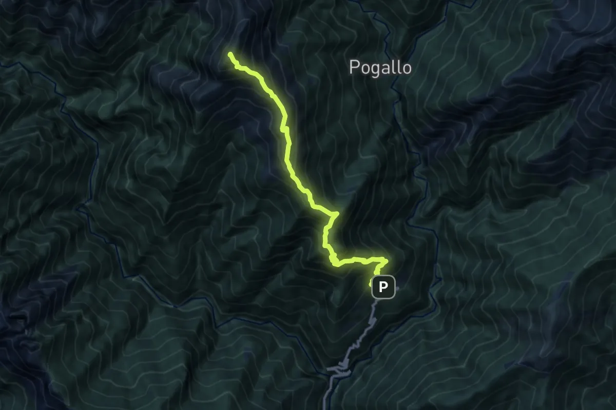
Demanding · Summit
P11 - Cicogna - Cima Sasso
10.6 km · ↑ 1259 m · 5 h 13 min · 9 km away
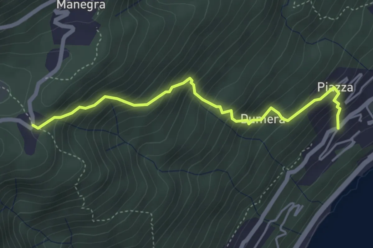
Medium · Trail
R22 Travallino di Oggebbio - Luera
4.1 km · ↑ 515 m · 2 h 5 min · 9 km away
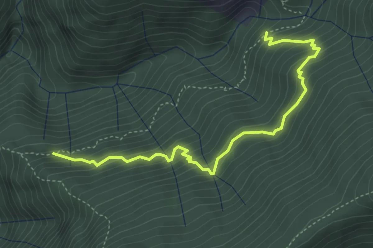
Medium · Trail
Alpe Varola - Fontan Gemelle - Corte Morgin
4.5 km · ↑ 500 m · 2 h 8 min · 9 km away
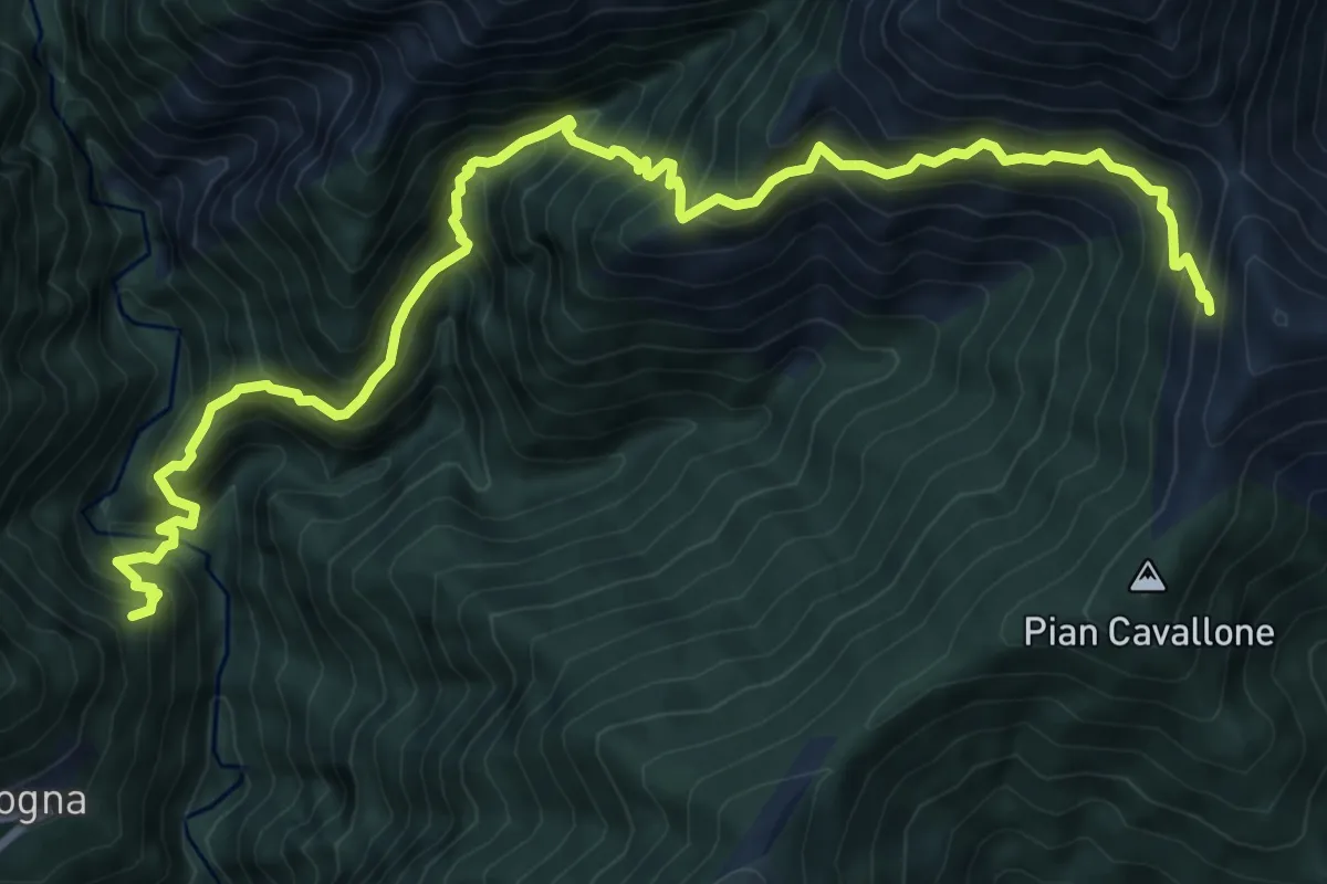
Demanding · Trail
P08 - Cicogna -Tregugno - la Soliva - Pian Cavallone
11.1 km · ↑ 1374 m · 5 h 36 min · 9 km away
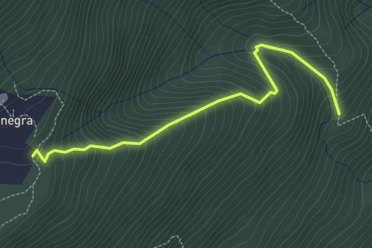
Medium · Trail
R24b Cappella S.Maria bivio R24 - Manegra bivio R10
2.8 km · ↑ 303 m · 1 h 19 min · 10 km away
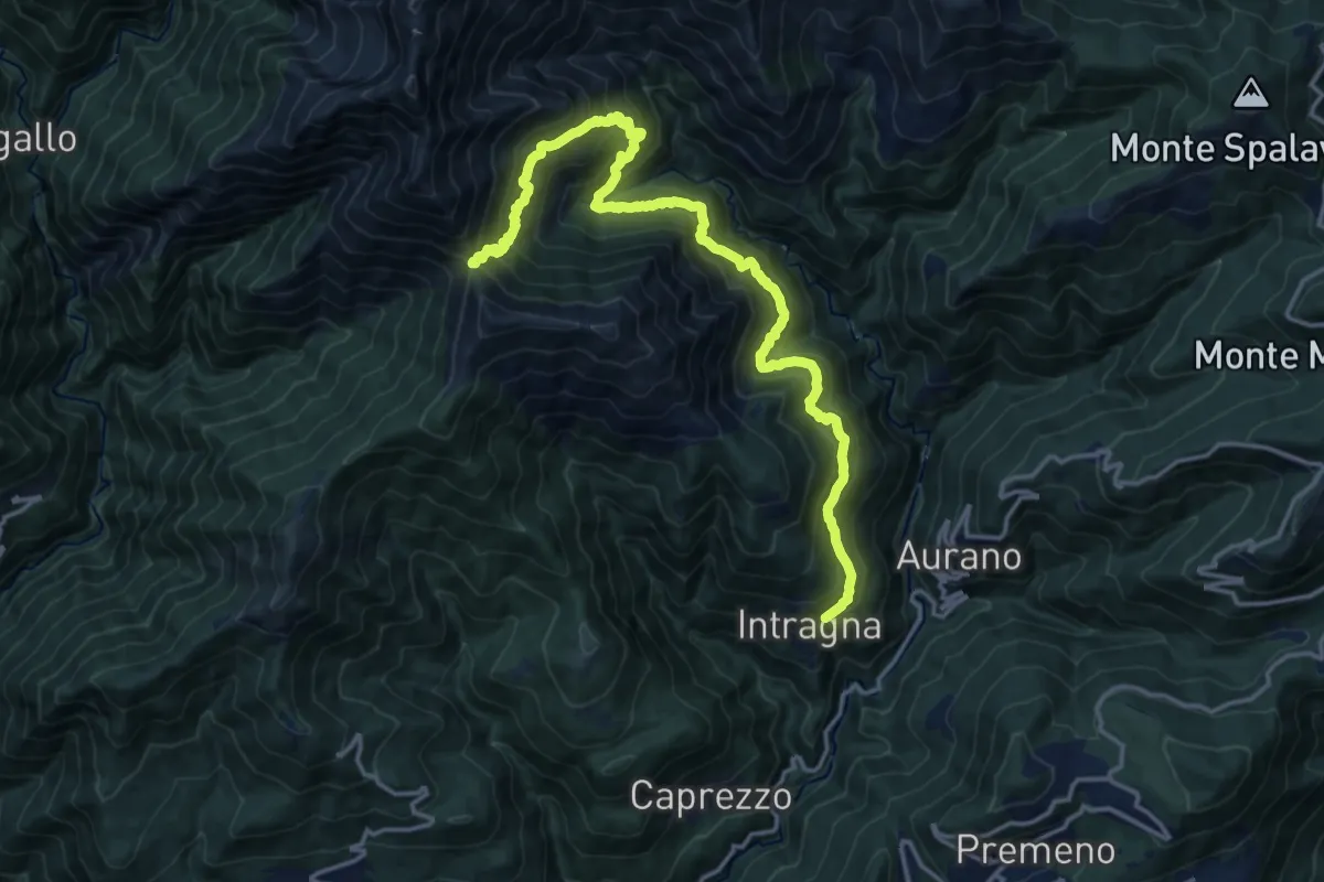
Demanding · Trail
R09 Intragna - Onunchio - Colle della Forcola
17.7 km · ↑ 1565 m · 7 h 34 min · 10 km away
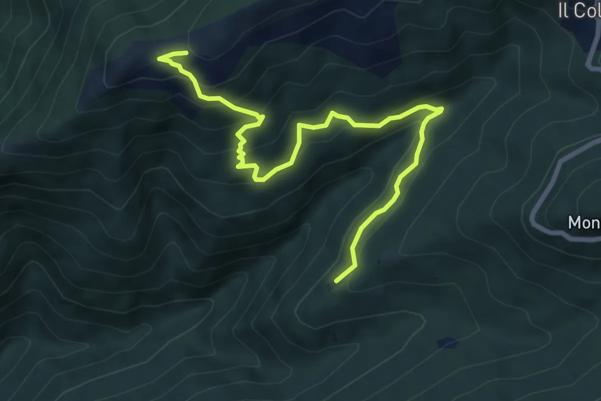
Medium · Trail
R15b Calpera - Pian d'Arla
6.7 km · ↑ 502 m · 2 h 40 min · 10 km away
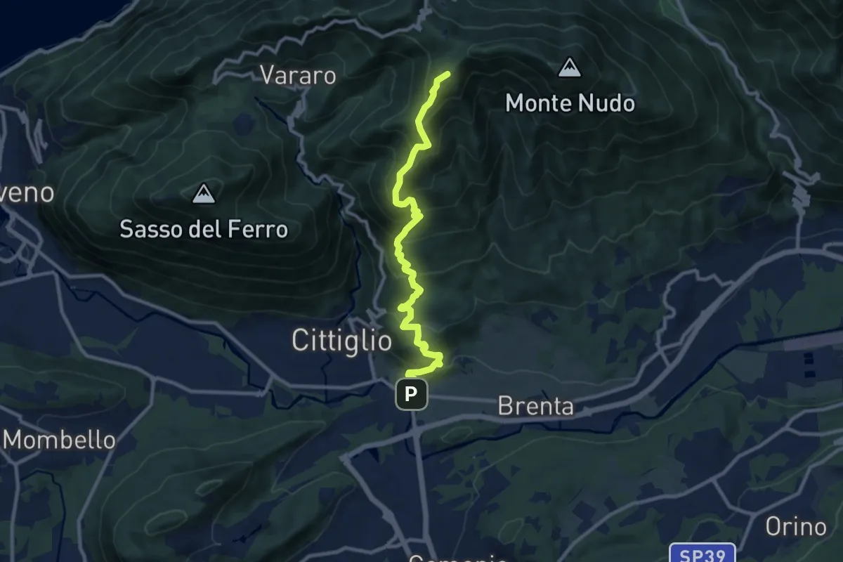
Demanding · Summit
Direttissima Crocetta
9.7 km · ↑ 851 m · 4 h 8 min · 10 km away
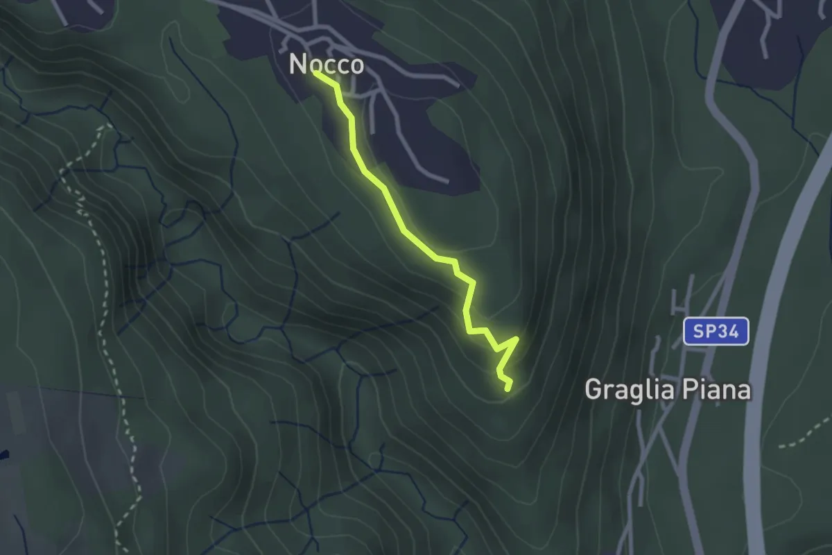
Easy · Trail
VL7b - Nocco - Bivio VL7
2.1 km · ↑ 83 m · 41 min · 10 km away
Medium · Trail
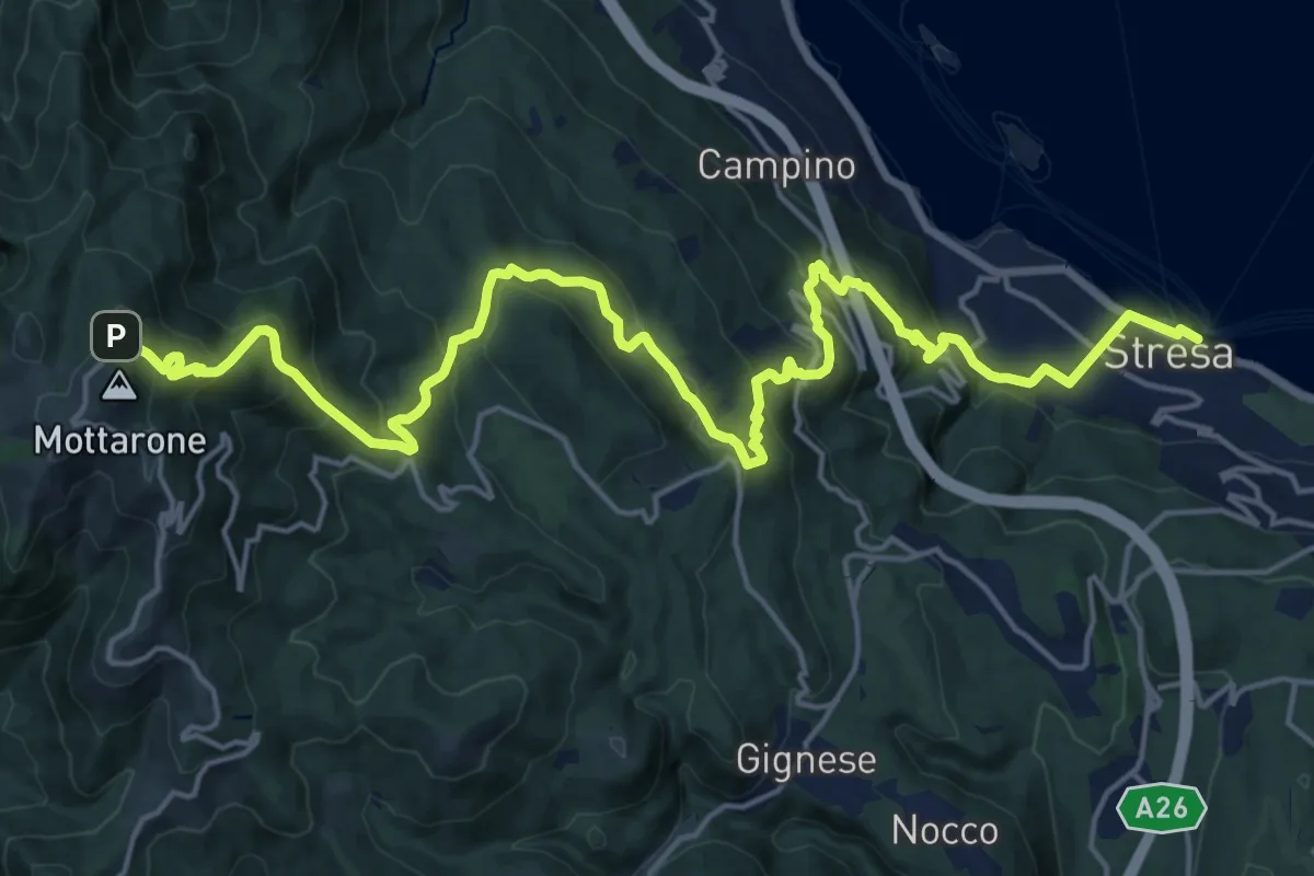
VL1 - Stresa - Mottarone
12.0 km · ↑ 75 m · 3 h 47 min · 10 km away
Medium · Trail
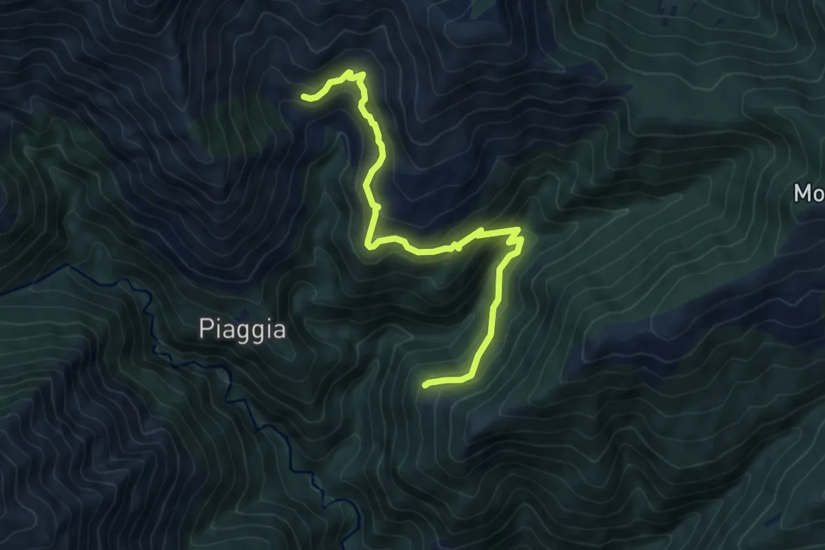
R13a Sassello - Corte Bavarone
7.6 km · ↑ 623 m · 3 h 9 min · 10 km away
Medium · Cabin
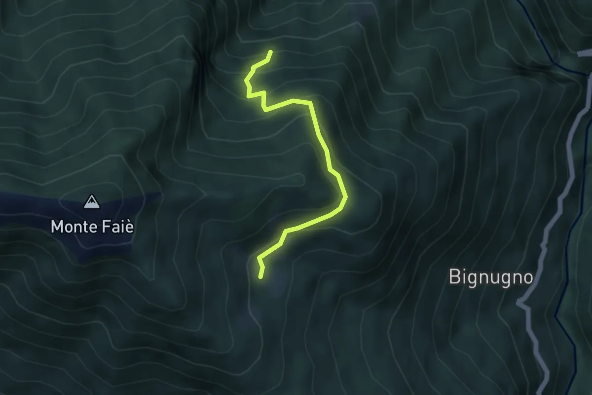
P07d - Bivio P07 sotto Alpe Basseno - Alpe Ompio
3.5 km · ↑ 338 m · 1 h 33 min · 10 km away
Medium · Trail
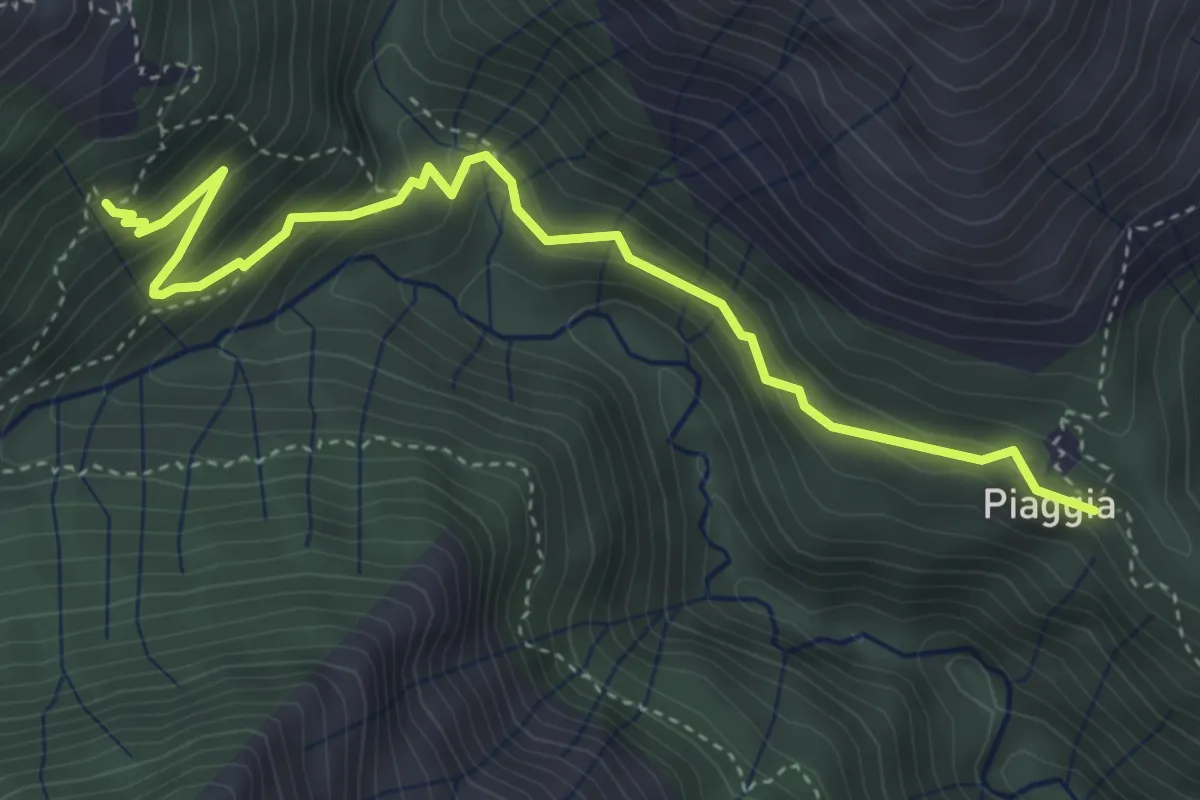
R11a Piaggia - Onunchio
4.5 km · ↑ 407 m · 1 h 56 min · 10 km away
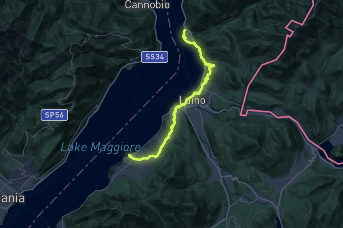
Medium · Trail
Grand Tour del Lago Maggiore ® - Tappa 7 - Porto Valtravaglia - Luino - Maccagno
17.0 km · ↑ 553 m · 5 h 28 min · 10 km away
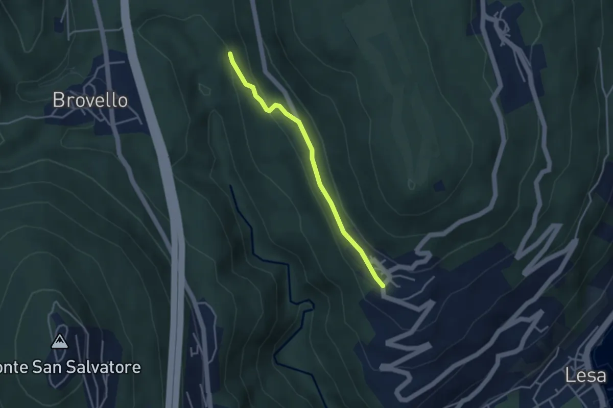
Easy · Trail
VL7c - Carpugnino - Comnago
3.1 km · ↑ 91 m · 55 min · 10 km away
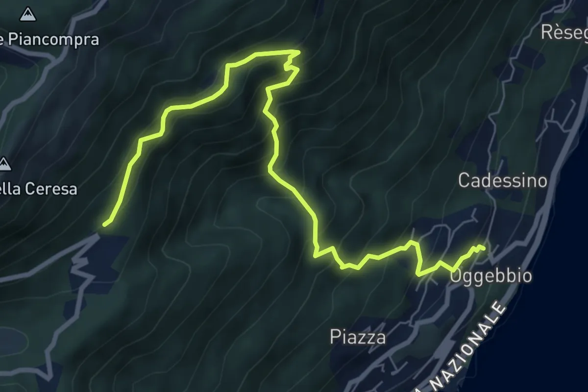
Demanding · Trail
R24 Gonte - Casola - Manegra
7.7 km · ↑ 820 m · 3 h 36 min · 10 km away
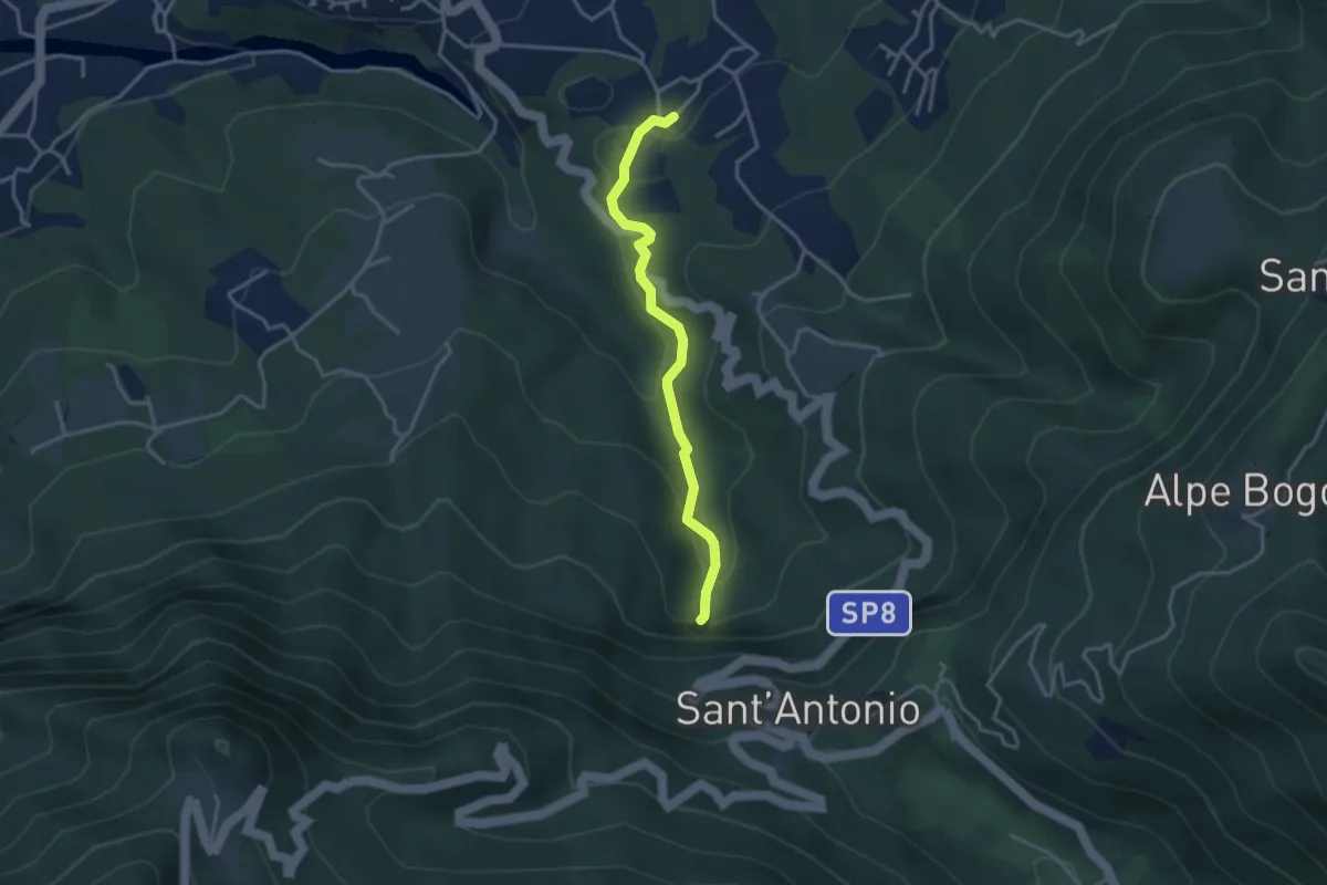
Medium · Trail
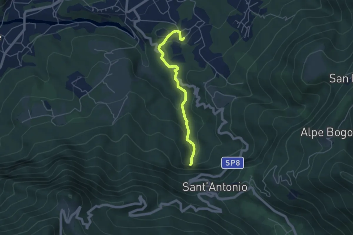
Sarigo – Cascata della Froda
3.3 km · ↑ 150 m · 1 h 6 min · 10 km away
Medium · Trail
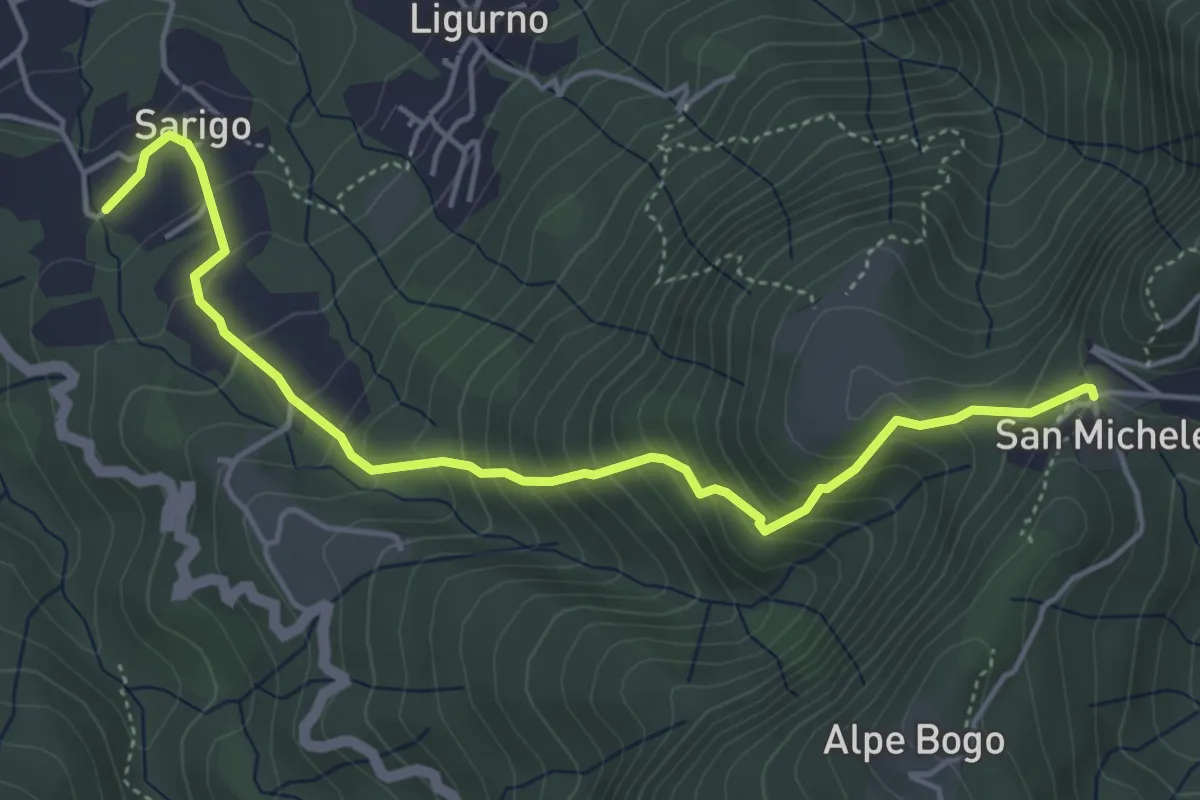
Sarigo – Cascata della Froda
3.9 km · ↑ 178 m · 1 h 18 min · 10 km away
Medium · Trail
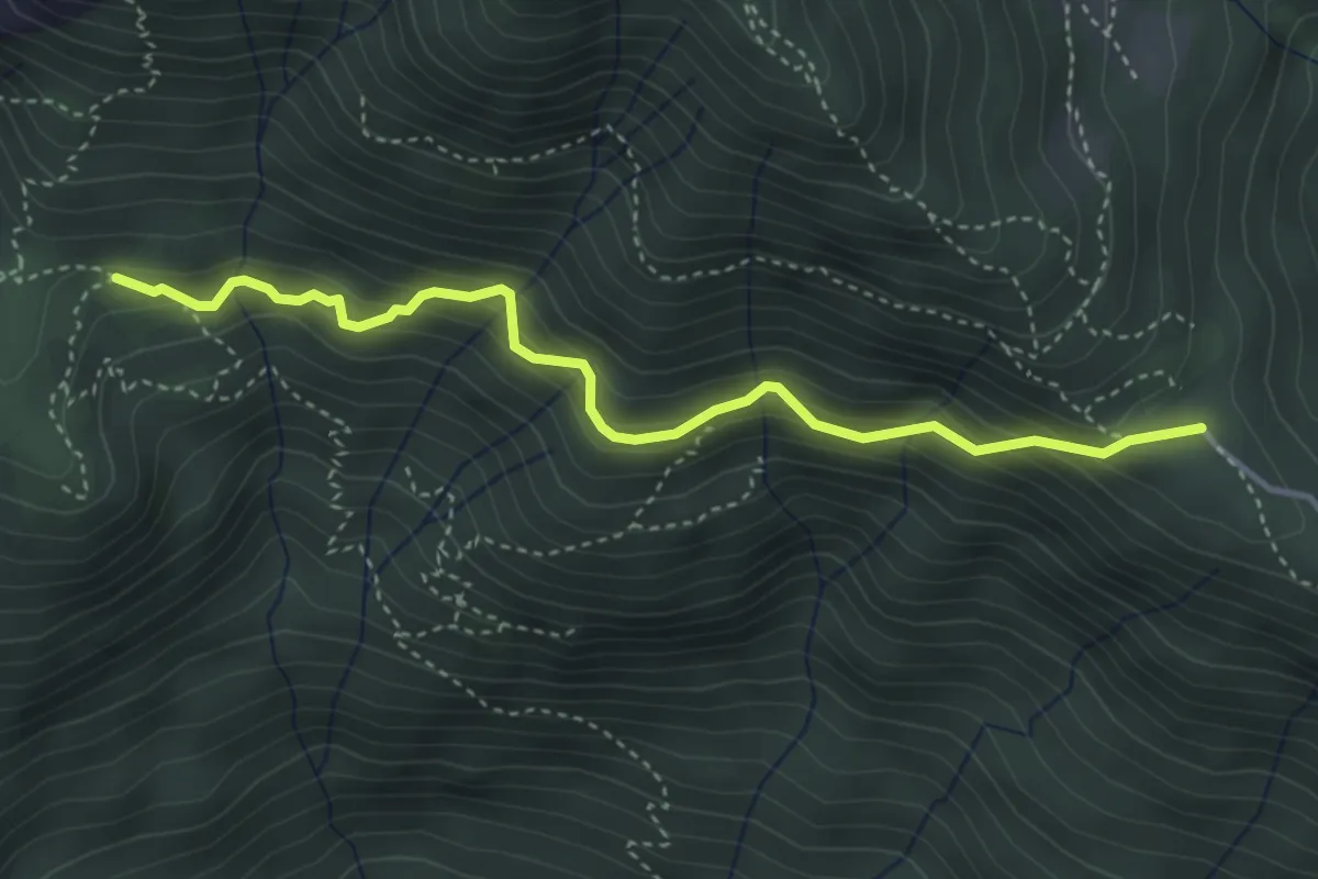
243A Sentiero della valle
5.1 km · ↑ 485 m · 2 h 16 min · 10 km away
Medium · Trail
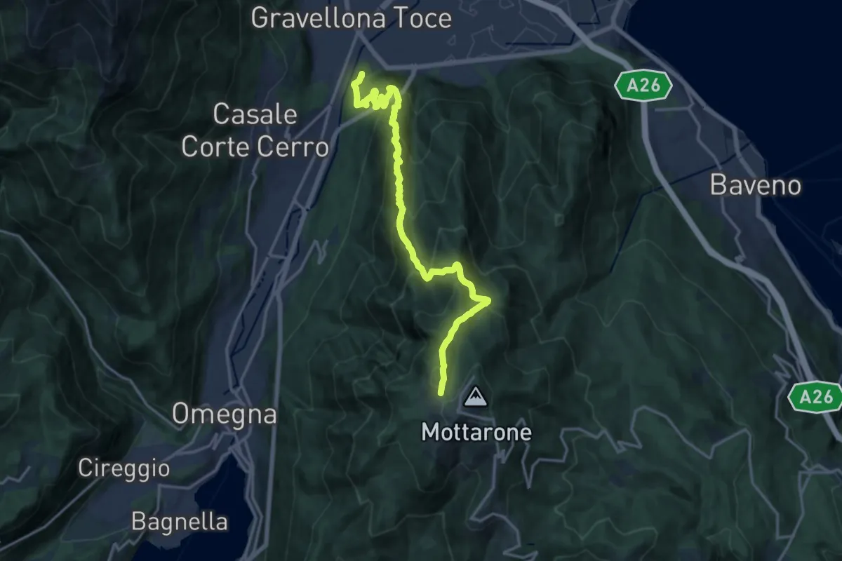
A52b - da Vercio a Alpe Ruspesso (Ompio)
3.9 km · ↑ 332 m · 1 h 39 min · 10 km away
Demanding · Summit
VN1 - Gravellona - Mottarone
15.9 km · ↑ 1285 m · 6 h 33 min · 10 km away
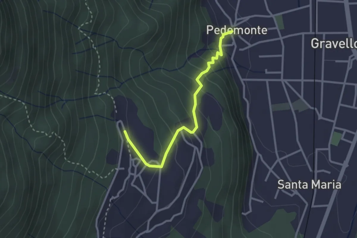
Easy · Trail
T02a - Pedemonte - Arzo
2.6 km · ↑ 207 m · 1 h 4 min · 10 km away
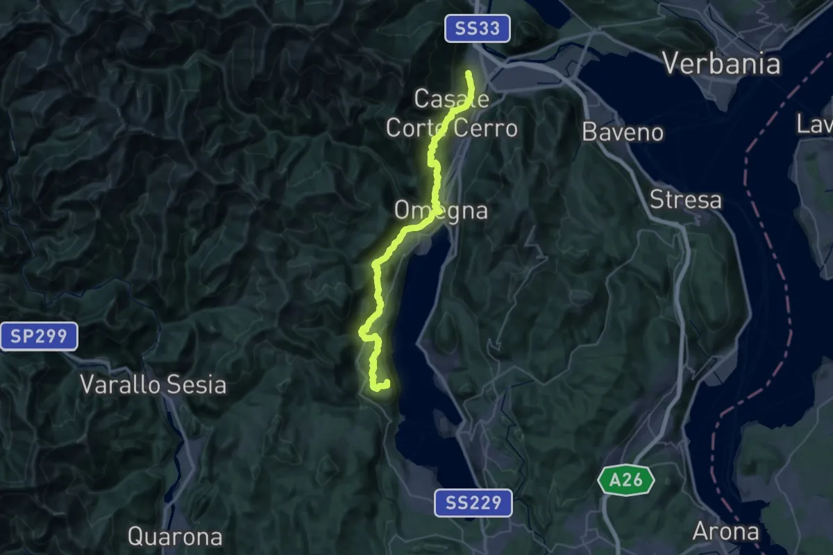
Demanding · Summit
T00 - Gravellona Toce - Pella
38.1 km · ↑ 1434 m · 12 h 7 min · 10 km away
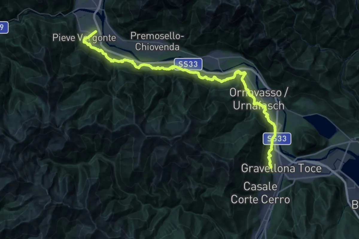
Demanding · Trail
A00a - Via Francisca (seconda sezione)
22.8 km · ↑ 536 m · 6 h 52 min · 10 km away
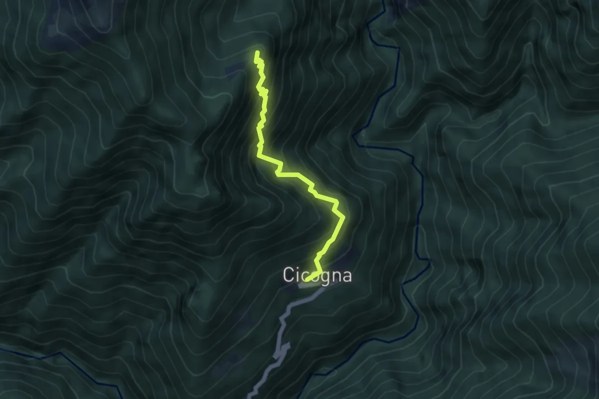
Medium · Trail
P15 - Cicogna - Cima Selva
4.2 km · ↑ 559 m · 2 h 12 min · 11 km away
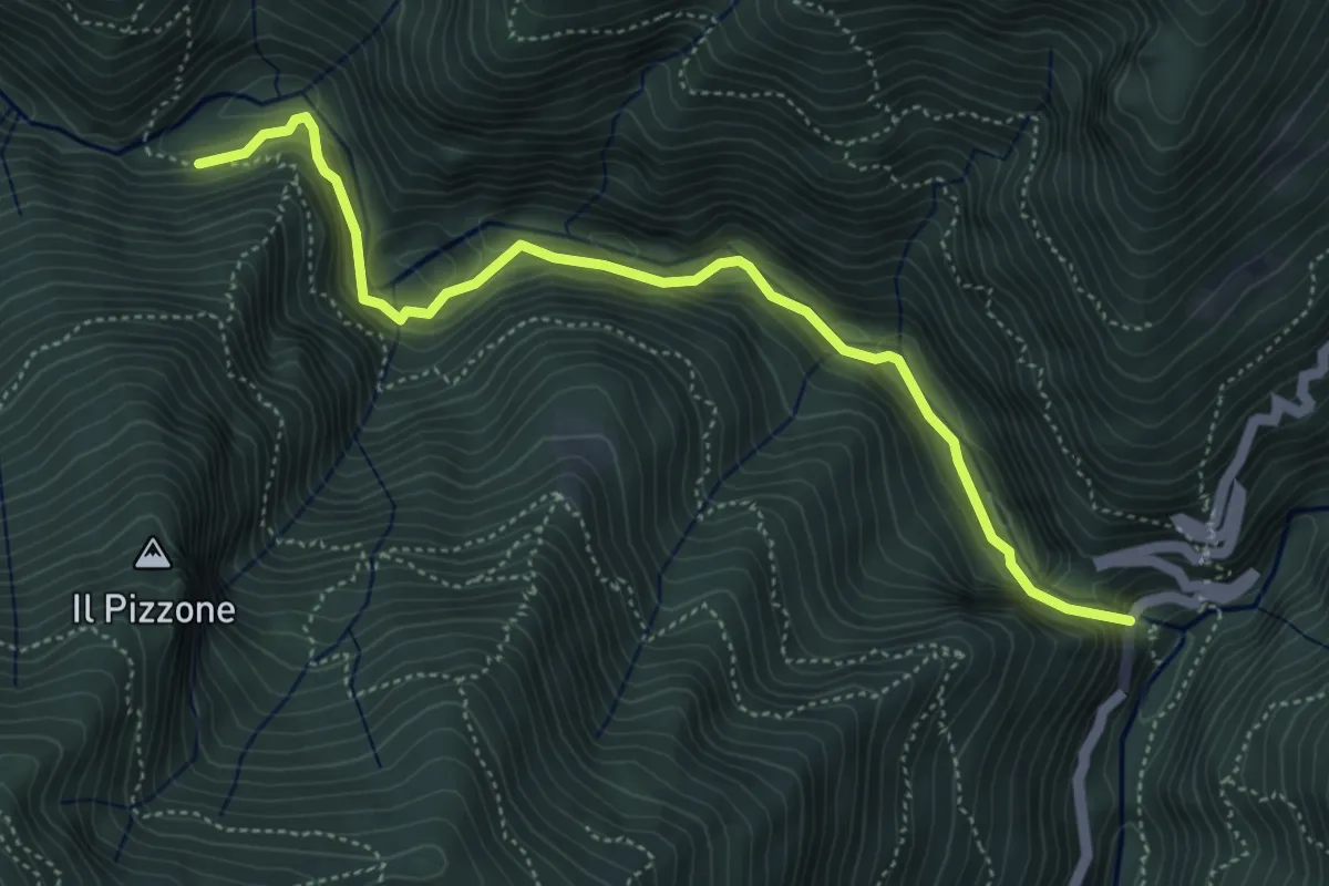
Demanding · Trail
XP1A - Ponte Casletto - Ponte Velina
5.2 km · ↑ 347 m · 1 h 58 min · 11 km away
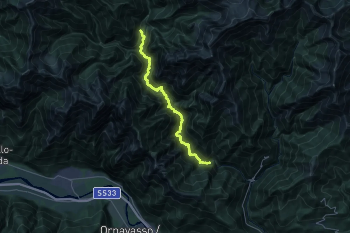
Expert · Trail
P50 - Ponte Velina - in La Piana (Ferrata Selvaggio Verde)
19.2 km · ↑ 1574 m · 7 h 56 min · 11 km away
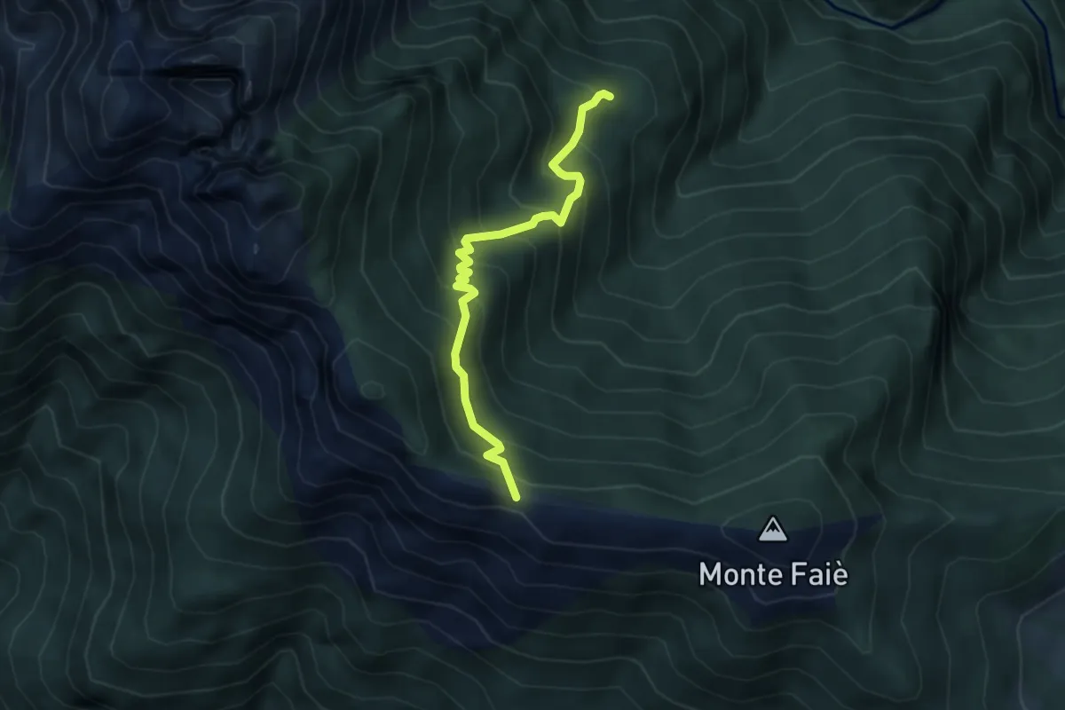
Medium · Cabin
Da Corte buè alla Colma di Vercio
3.9 km · ↑ 402 m · 1 h 47 min · 11 km away
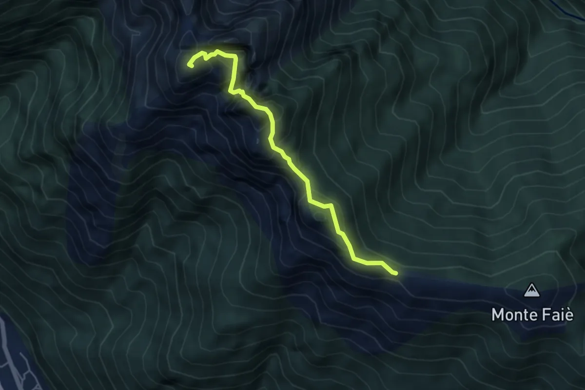
Demanding · Summit
A52c - Colma di Vercio - Cima Corte Lorenzo
4.3 km · ↑ 514 m · 2 h 7 min · 11 km away
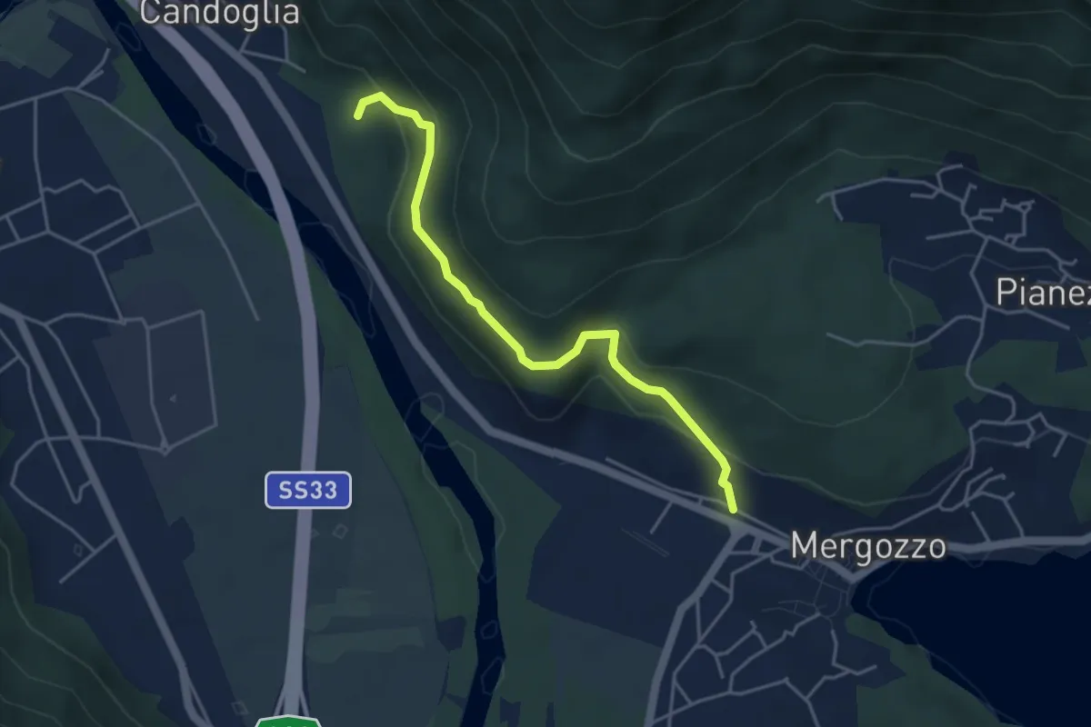
Medium · Trail
A00v - Strada vicinale del Poncione
4.2 km · ↑ 264 m · 1 h 34 min · 11 km away
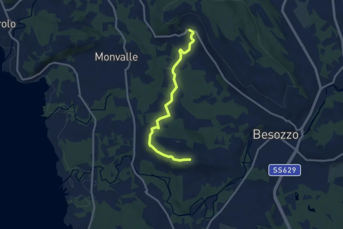
Easy · Trail
Anello di Besozzo - Cardana/Bogno
6.4 km · ↑ 126 m · 1 h 47 min · 11 km away
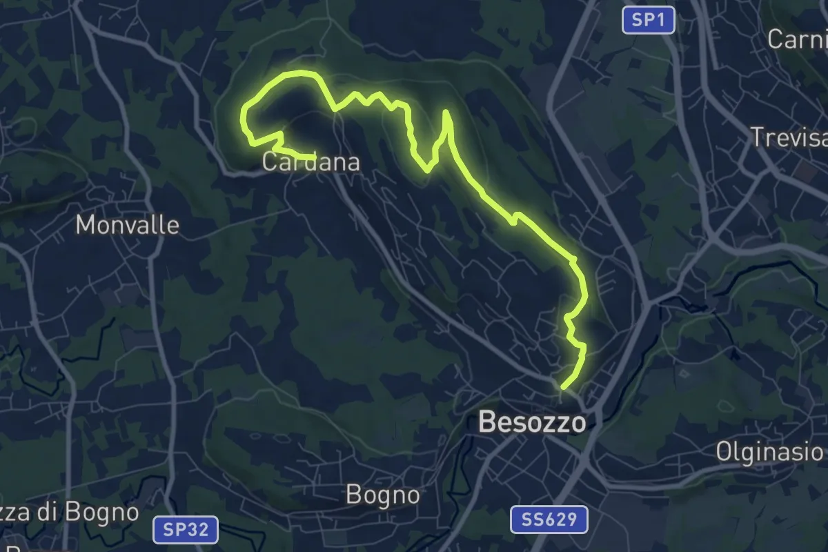
Medium · Trail
630 Anello di Besozzo - Besozzo/Cardana
10.7 km · ↑ 271 m · 3 h 6 min · 11 km away
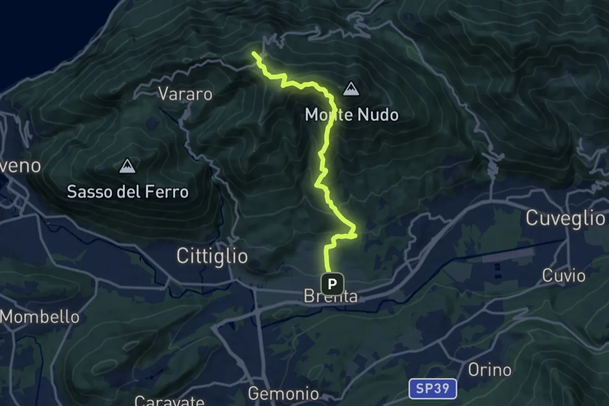
Demanding · Summit
Brenta – Passo Cuvignone
11.5 km · ↑ 1011 m · 4 h 55 min · 11 km away