Trails near Verbania
297 hikes starting within 15 km, nearest first.
Nearest first, page 4 of 7
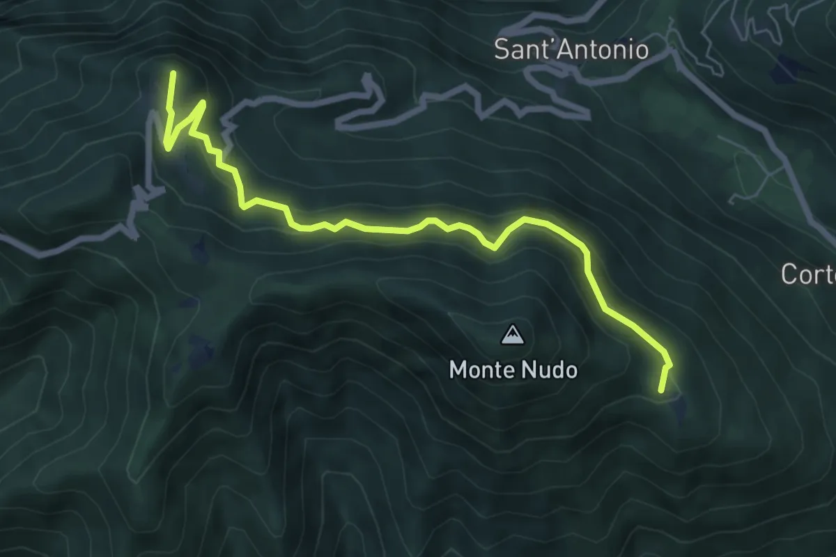
Medium · Summit
Rifugio Adamoli – Pozzo Piano
6.5 km · ↑ 408 m · 2 h 25 min · 11 km away
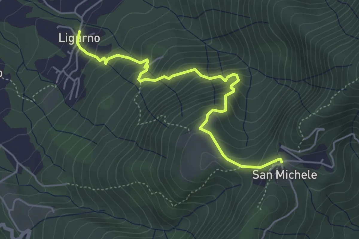
Medium · Trail
242 Sentiero della Gogna
4.8 km · ↑ 493 m · 2 h 12 min · 11 km away
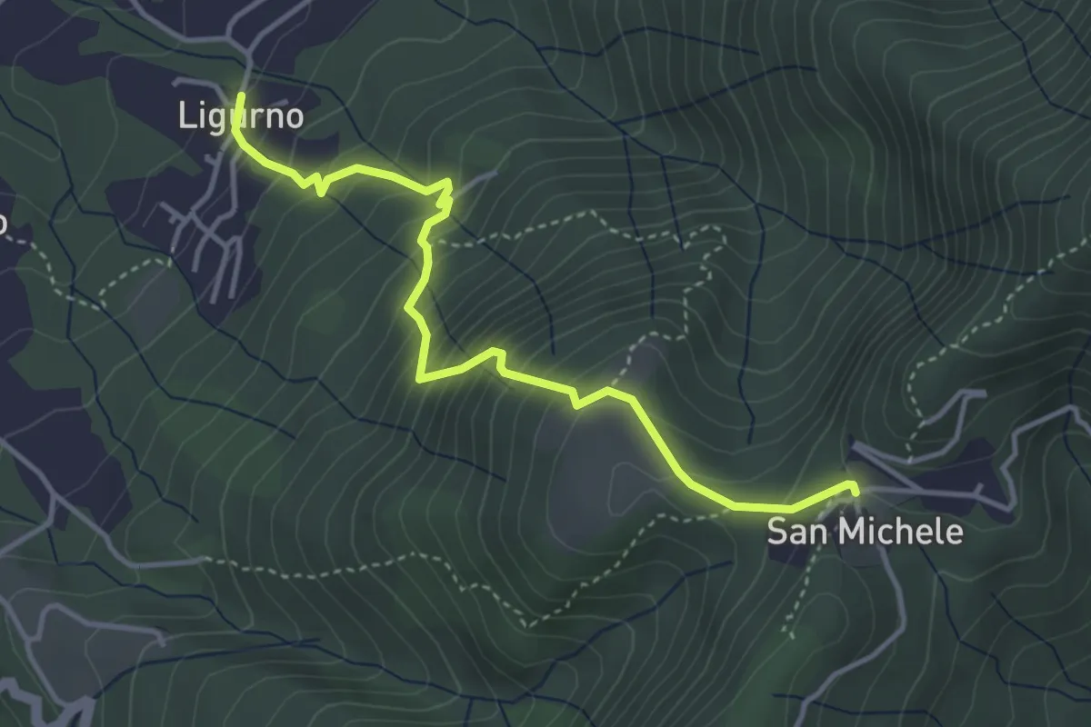
Medium · Trail
241 Sentiero dei Sassi
4.0 km · ↑ 460 m · 1 h 57 min · 11 km away
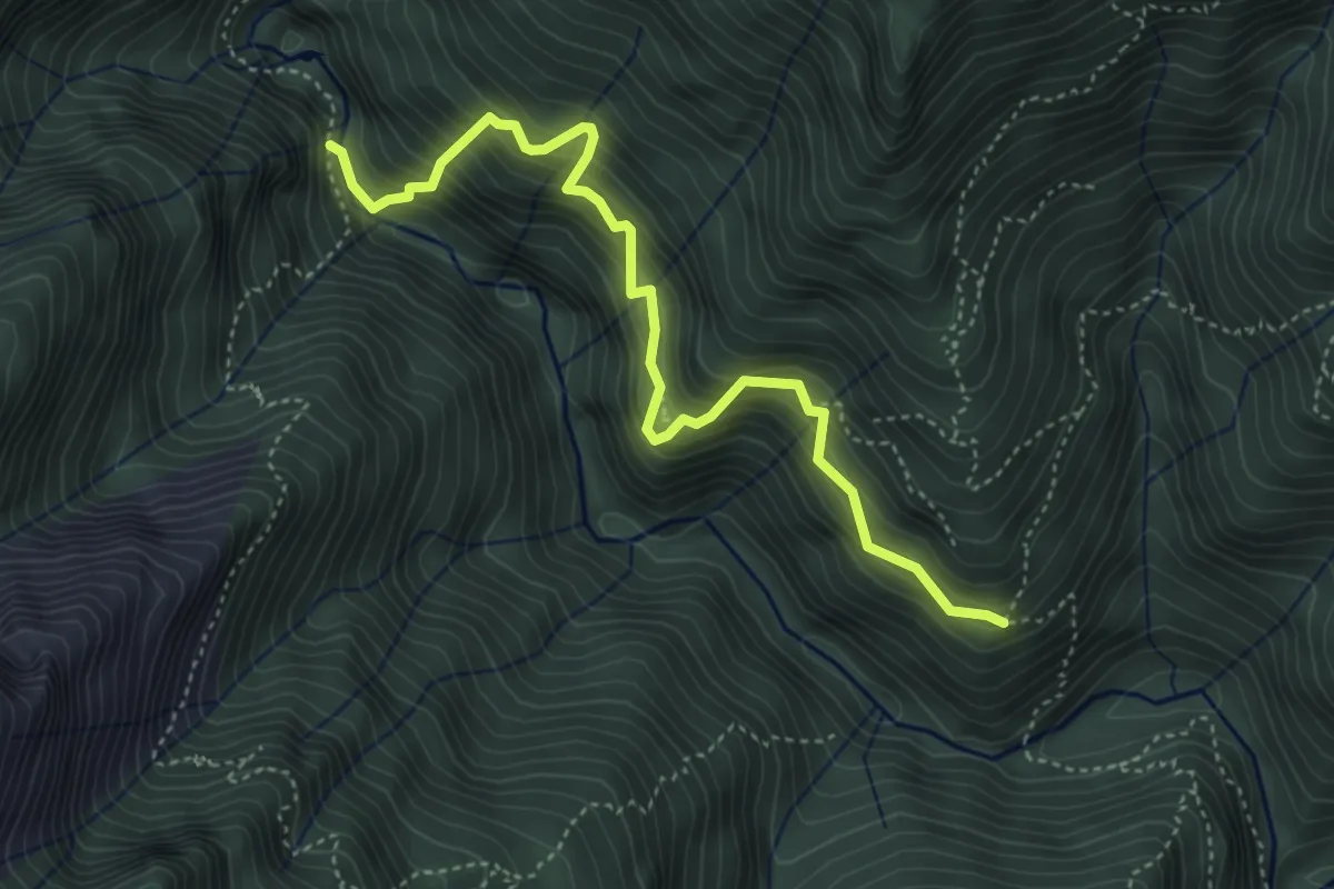
Demanding · Trail
X01 - La strà di vacch
4.5 km · ↑ 655 m · 2 h 29 min · 11 km away
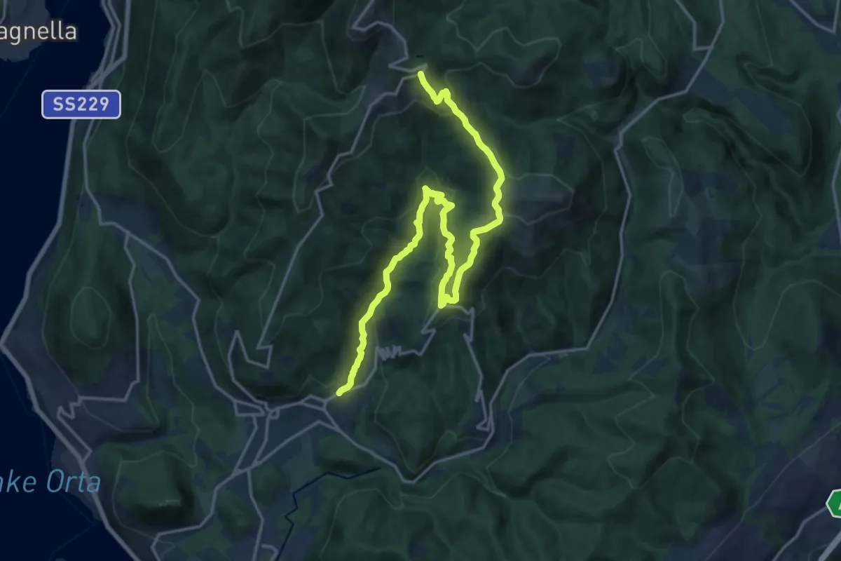
Demanding · Trail
VR3 - Armeno - Bivio V00
18.7 km · ↑ 862 m · 6 h 17 min · 11 km away
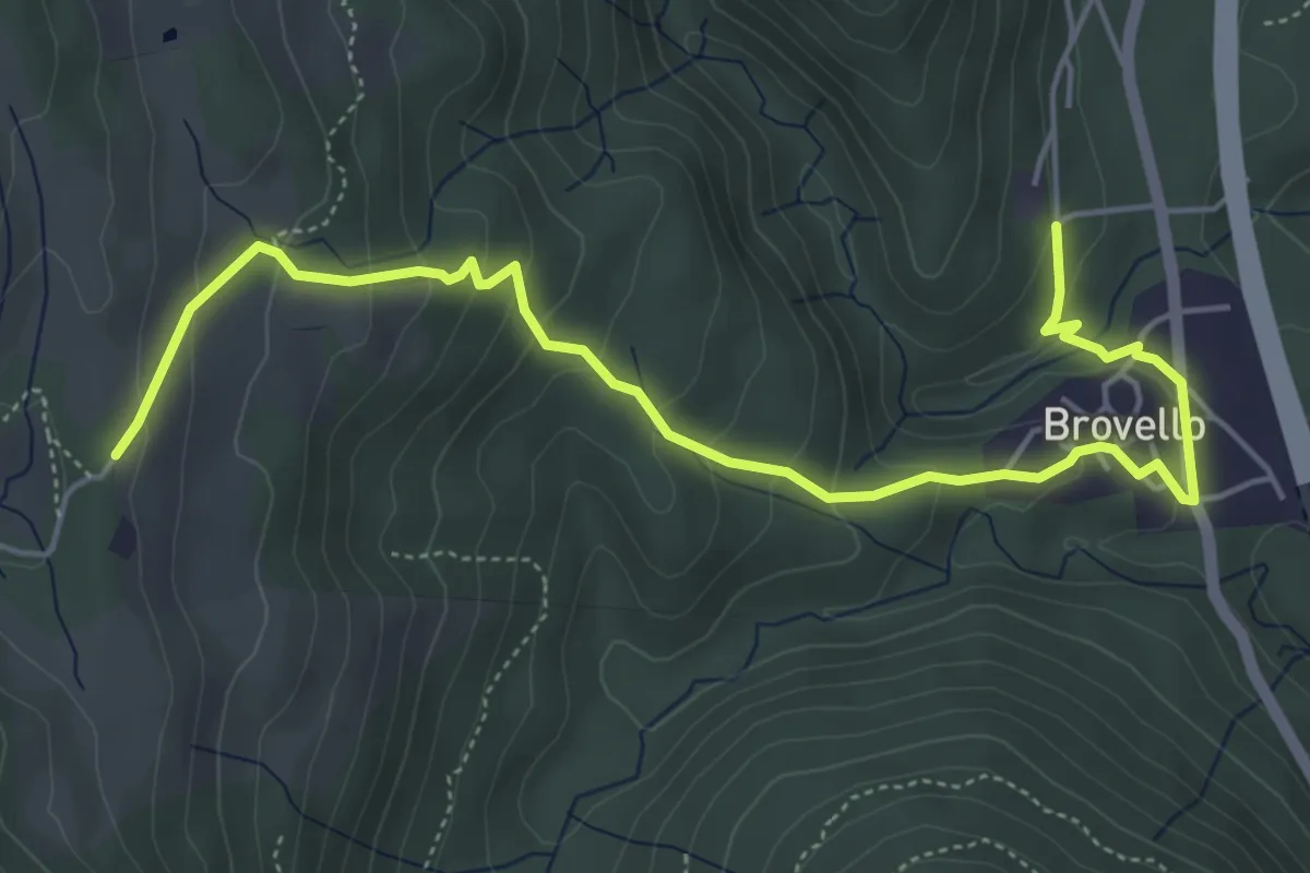
Medium · Trail
VH4 - Brovello - Alpe Canà
6.1 km · ↑ 334 m · 2 h 10 min · 11 km away
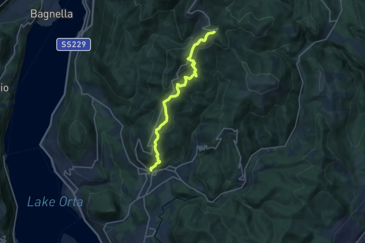
Medium · Trail
VR1 - Armeno - bivio V00 presso Alpe della Volpe
12.8 km · ↑ 754 m · 4 h 39 min · 11 km away
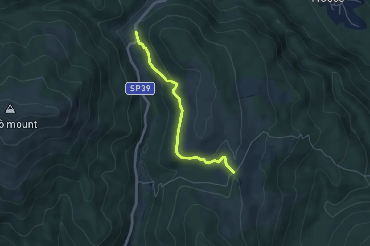
Easy · Trail
VH3 - Gignese - Alpe Canà
4.2 km · ↑ 161 m · 1 h 20 min · 11 km away
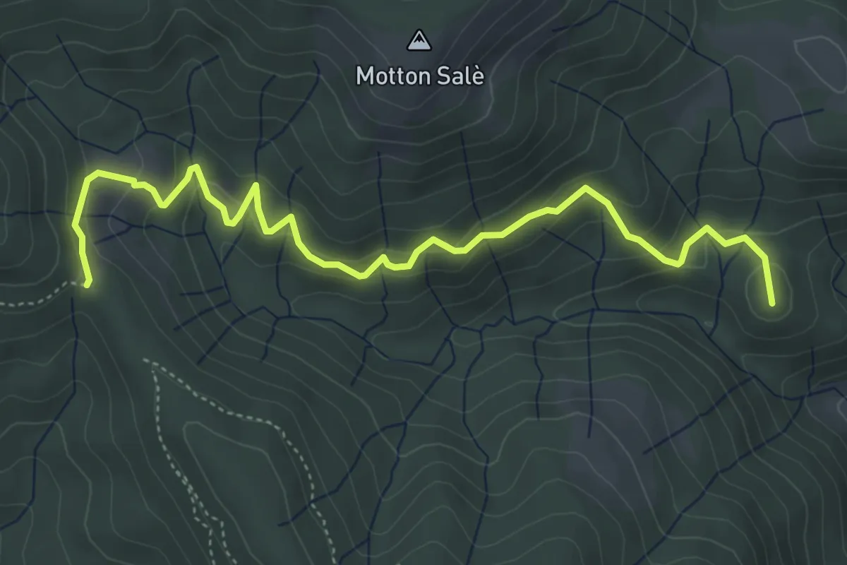
Medium · Summit
VR3a - Bivio VR3 - Bivio V00
5.6 km · ↑ 316 m · 2 h · 11 km away
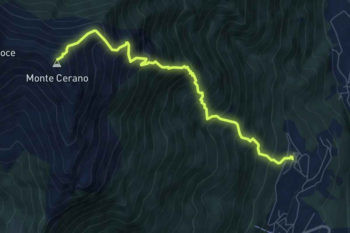
Demanding · Summit
T06 - Arzo - Monte Cerano
7.5 km · ↑ 1226 m · 4 h 25 min · 11 km away
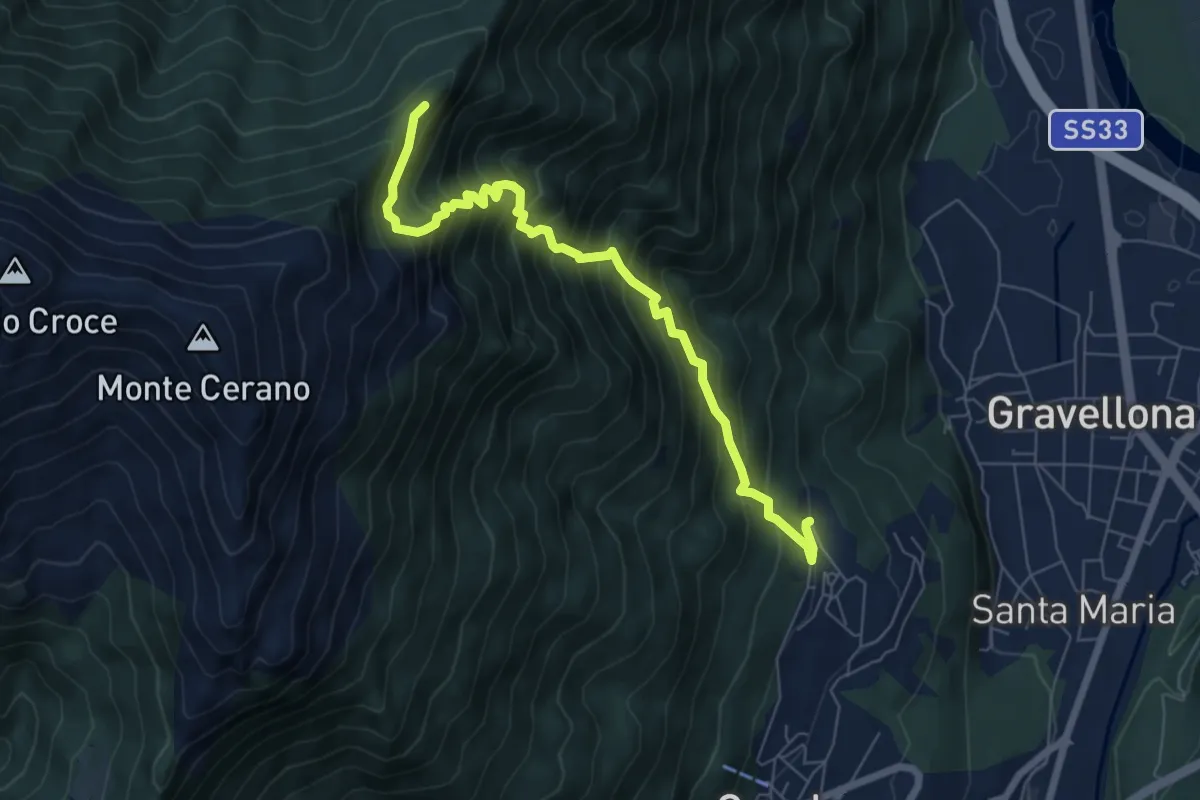
Demanding · Trail
T04 - Arzo - Sasso Supino
7.1 km · ↑ 939 m · 3 h 42 min · 11 km away
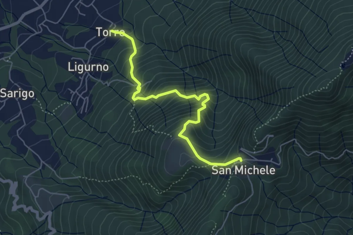
Medium · Trail
Località Torre – San Michele
4.8 km · ↑ 489 m · 2 h 11 min · 11 km away
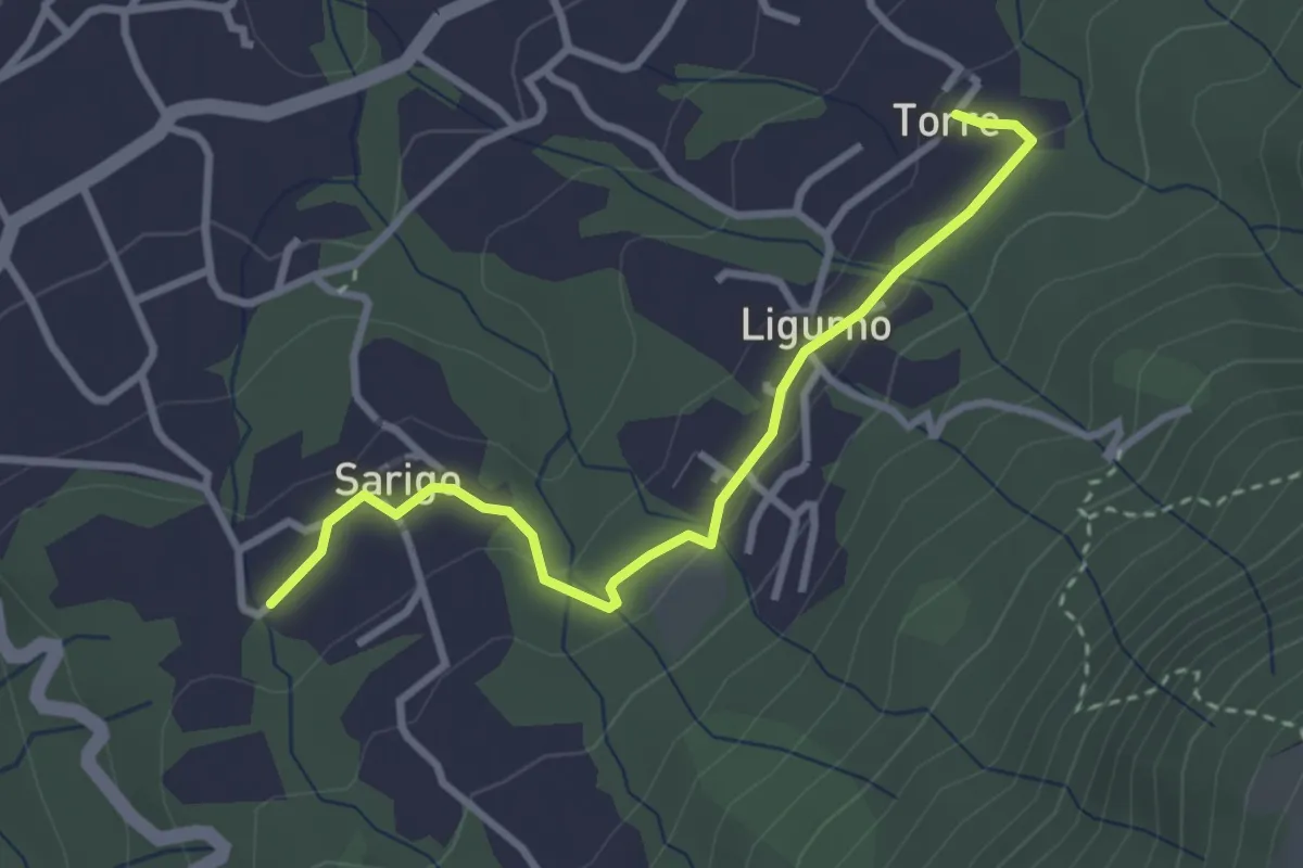
Medium · Trail
Torre – Sarigo
3.1 km · ↑ 84 m · 55 min · 11 km away
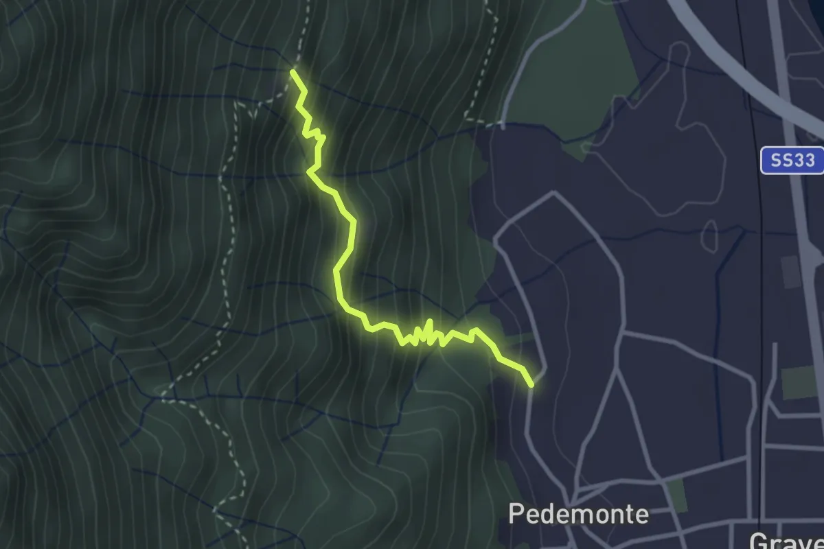
Medium · Trail
T02b - Pedemonte - Alpe Grandi
2.8 km · ↑ 316 m · 1 h 20 min · 11 km away
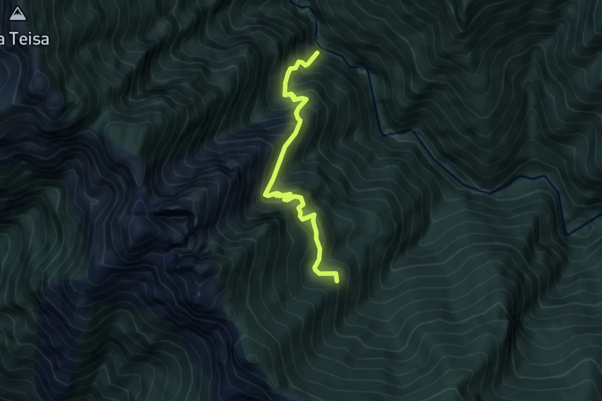
Demanding · Trail
P50b - Orfalecchio - Val Foiera - Corte Buè
5.2 km · ↑ 720 m · 2 h 47 min · 11 km away
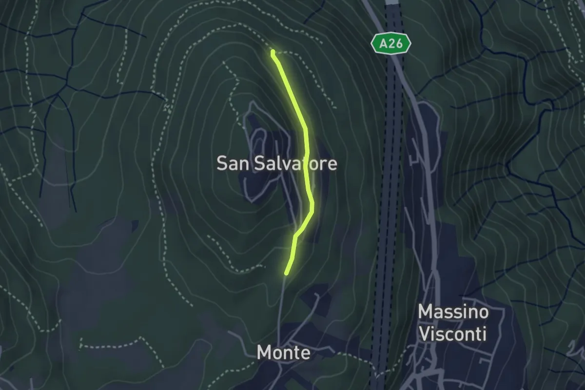
Easy · Trail
VH5a - Bivio VH6 - Bivio VH5
2.1 km · ↑ 83 m · 41 min · 11 km away
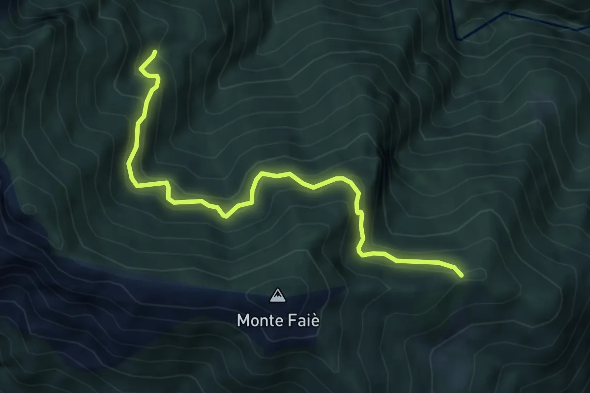
Medium · Trail
P07b - bivio A54 in località La Croce (Ompio) - Corte Buè
5.9 km · ↑ 534 m · 2 h 34 min · 11 km away
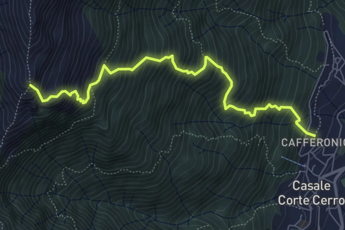
Demanding · Trail
T08 - Casale Corte Cerro - Bivio Z02
6.6 km · ↑ 1049 m · 3 h 50 min · 11 km away
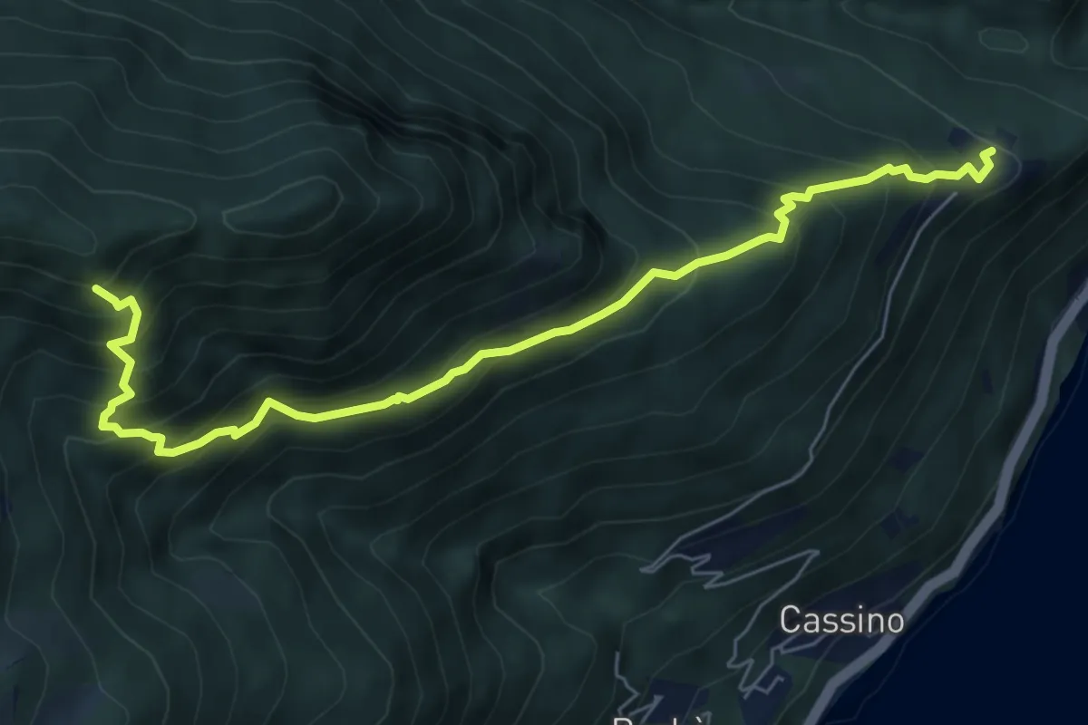
Medium · Trail
R26 Oggiogno - Alpe Morissolo
7.1 km · ↑ 786 m · 3 h 23 min · 11 km away
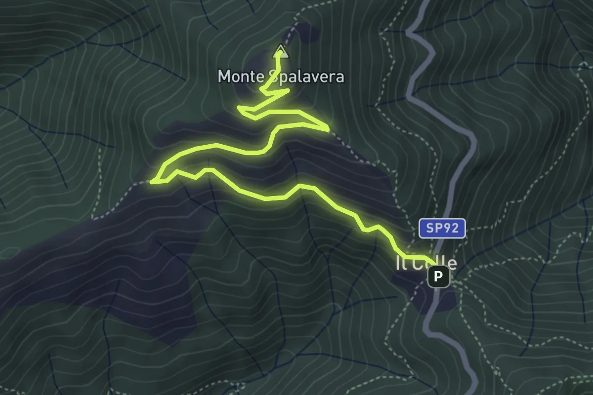
Medium · Summit
Colle (m 1238) – Bivio R20 sotto Cima l'Alpe (m 1298)
5.9 km · ↑ 350 m · 2 h 8 min · 11 km away
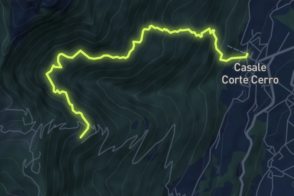
Demanding · Trail
T10 - Casale Corte Cerro - Alpe Rusa
7.5 km · ↑ 942 m · 3 h 49 min · 11 km away
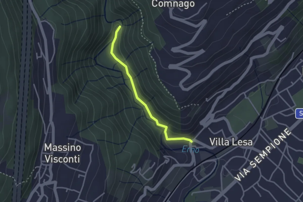
Easy · Trail
Sentiero Valle dell'Erno
2.4 km · ↑ 86 m · 45 min · 11 km away
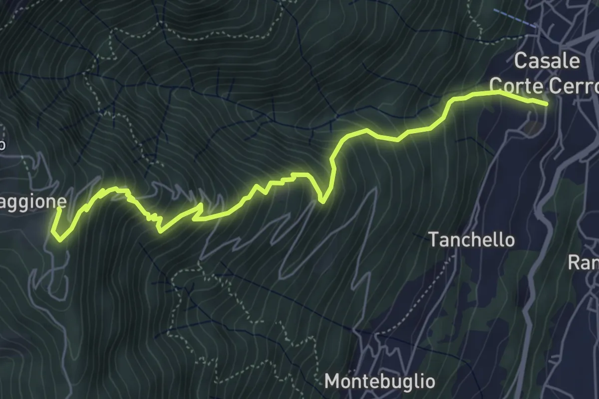
Medium · Trail
T12 - Casale Corte Cerro - Alpe Quaggione
6.4 km · ↑ 774 m · 3 h 11 min · 11 km away
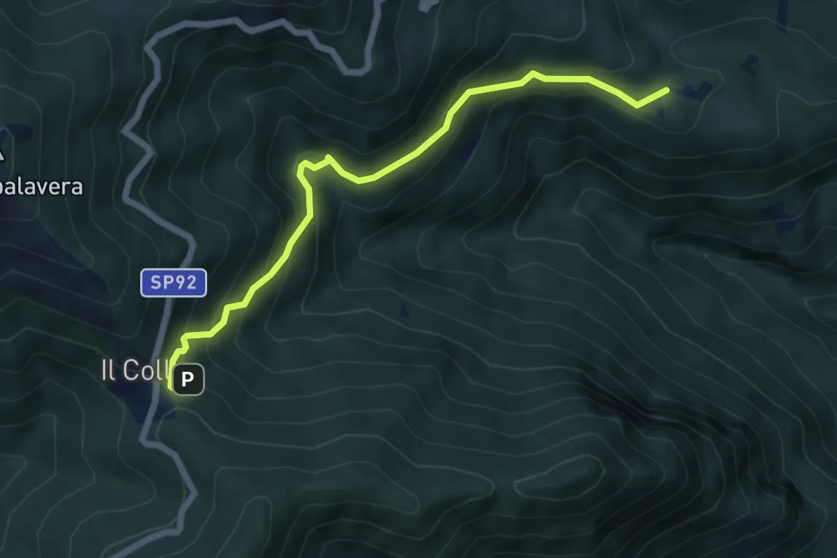
Medium · Trail
R32 Fodrasca - Colle
5.5 km · ↑ 424 m · 2 h 13 min · 11 km away
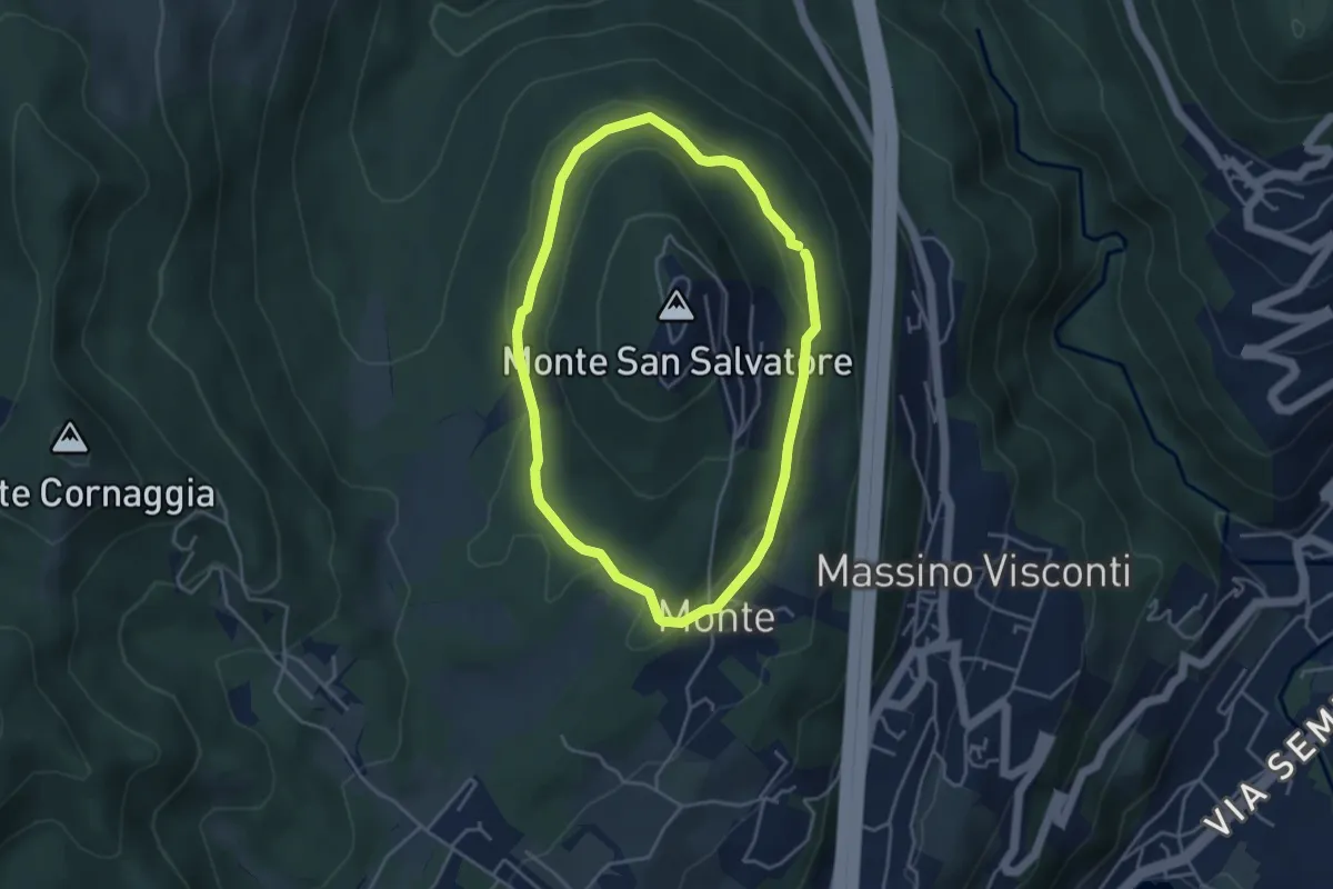
Easy · Trail
Anello basso di San Salvatore
3.7 km · ↑ 85 m · 1 h 7 min · 11 km away
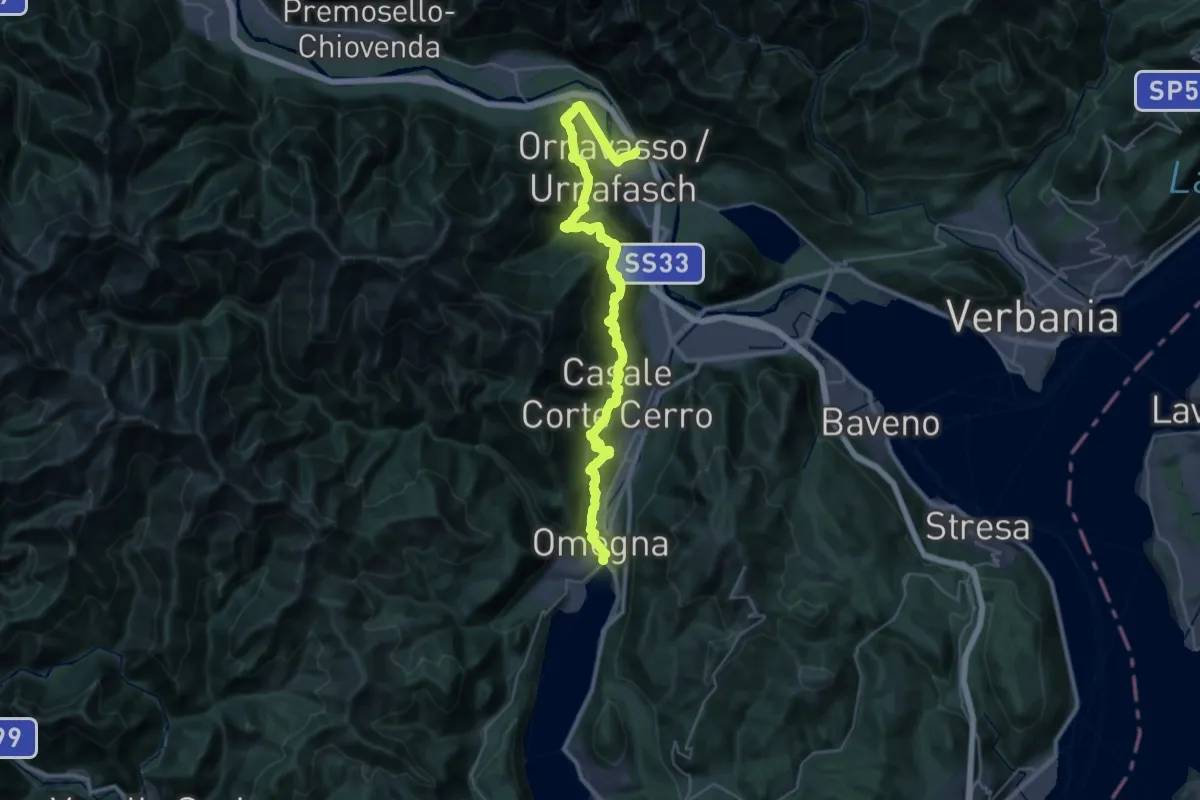
Demanding · Trail
Grand Tour del Lago d'Orta - Tappa 3
20.9 km · ↑ 1340 m · 8 h 5 min · 12 km away
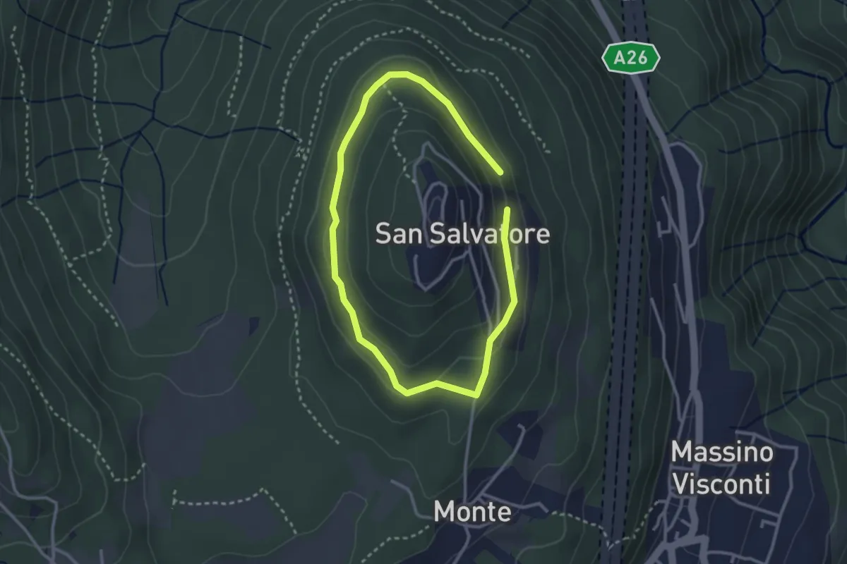
Easy · Trail
Anello di mezzo di San Salvatore
2.4 km · ↑ 58 m · 43 min · 12 km away
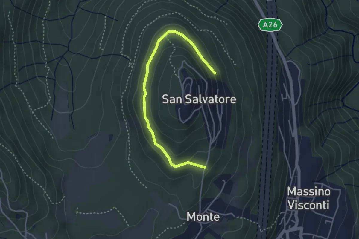
Easy · Trail
VH5 - Anello di mezzo di San Salvatore
3.6 km · ↑ 66 m · 59 min · 12 km away
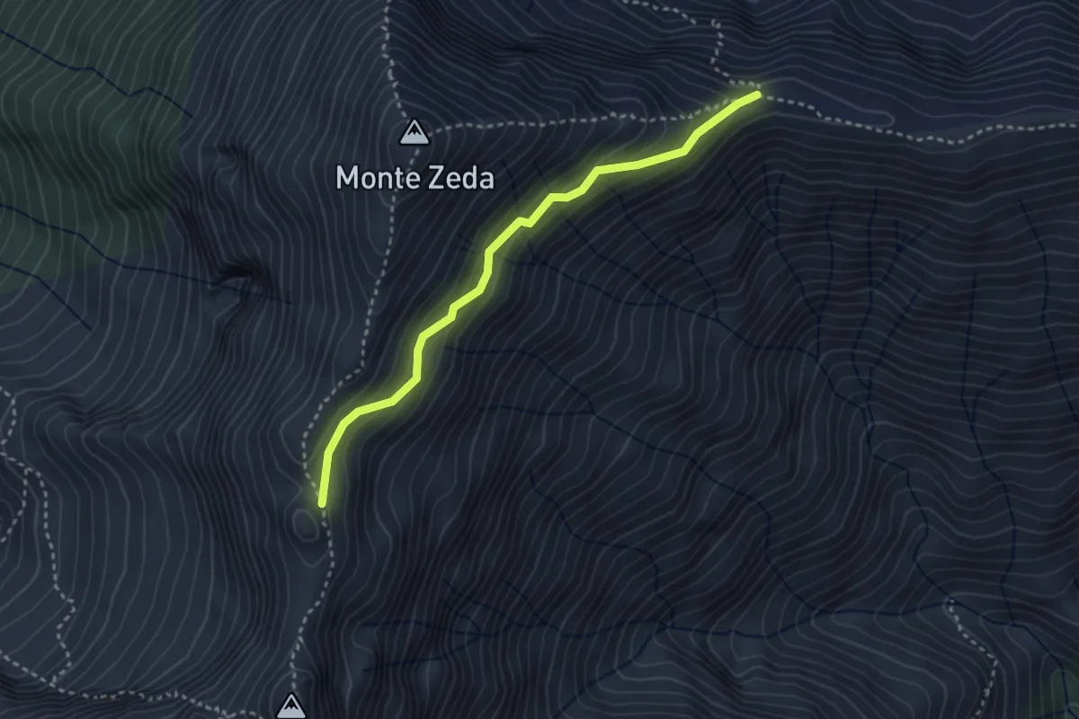
Medium · Trail
R03b Piè di Zeda - Costa Monte Zeda (bivio R03)
3.1 km · ↑ 308 m · 1 h 24 min · 12 km away
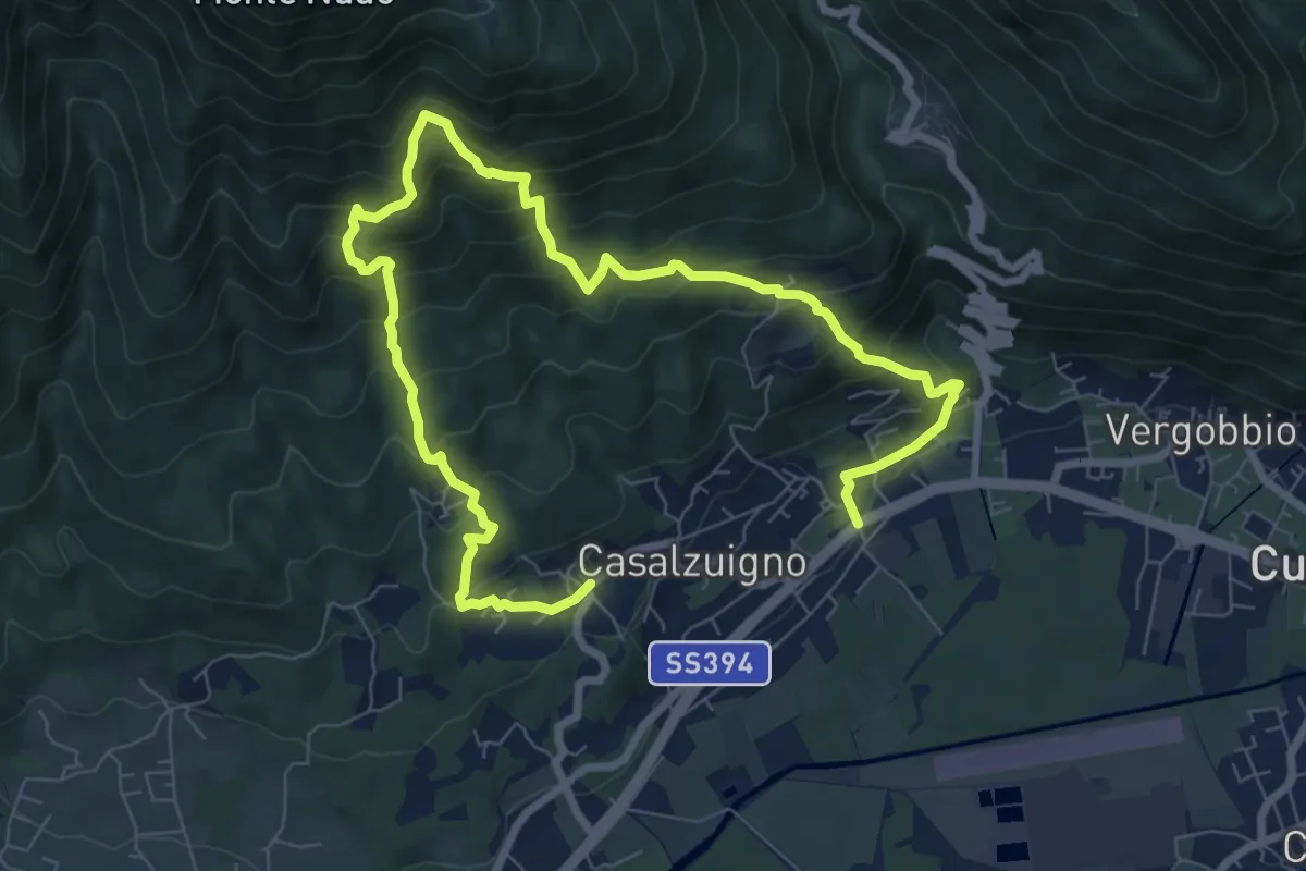
Demanding · Trail
Casale – Aga-Villa Bozzolo
11.5 km · ↑ 1072 m · 5 h 3 min · 12 km away
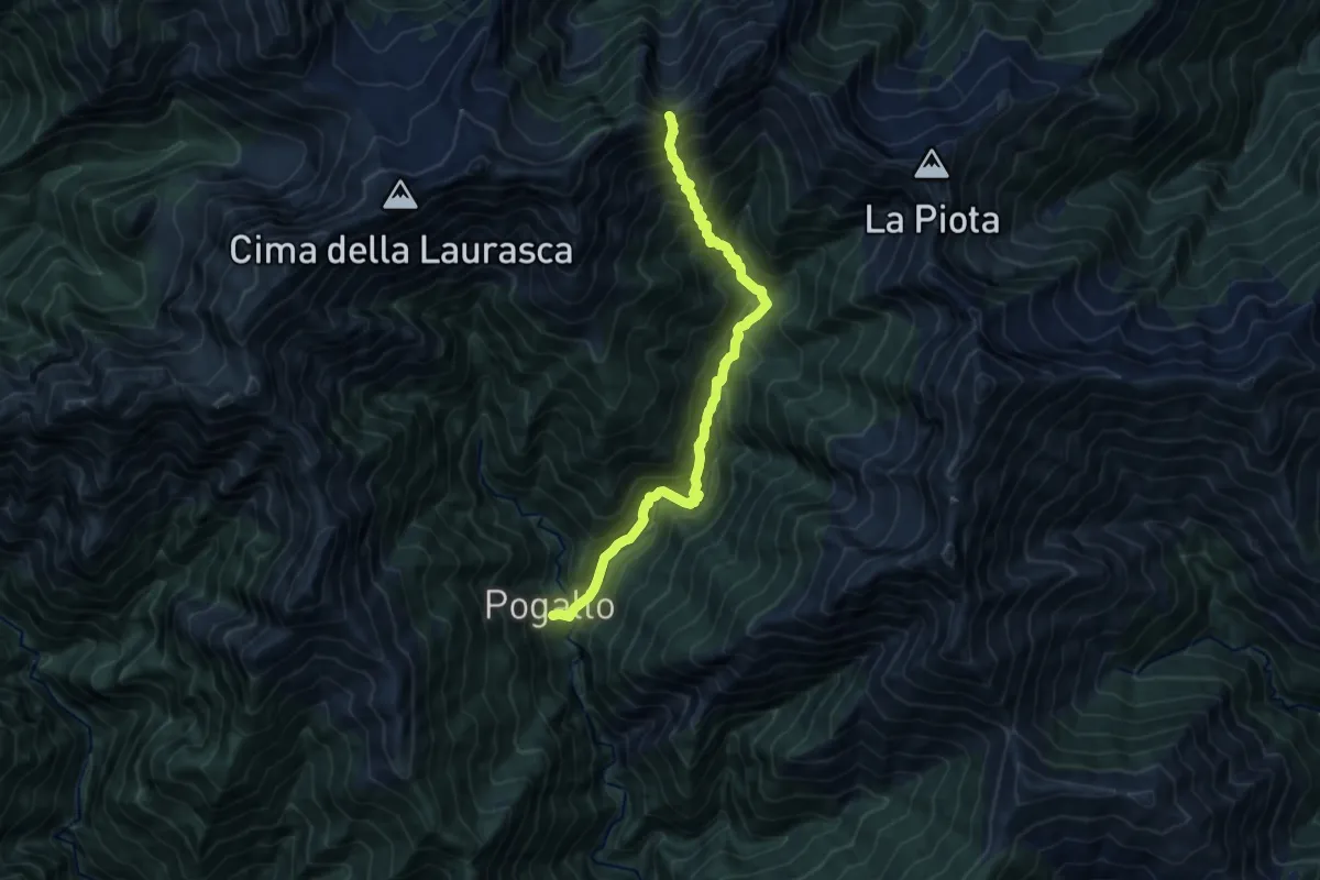
Demanding · Trail
P12 - Pogallo - Bocchetta di Terza
11.4 km · ↑ 1261 m · 5 h 25 min · 12 km away
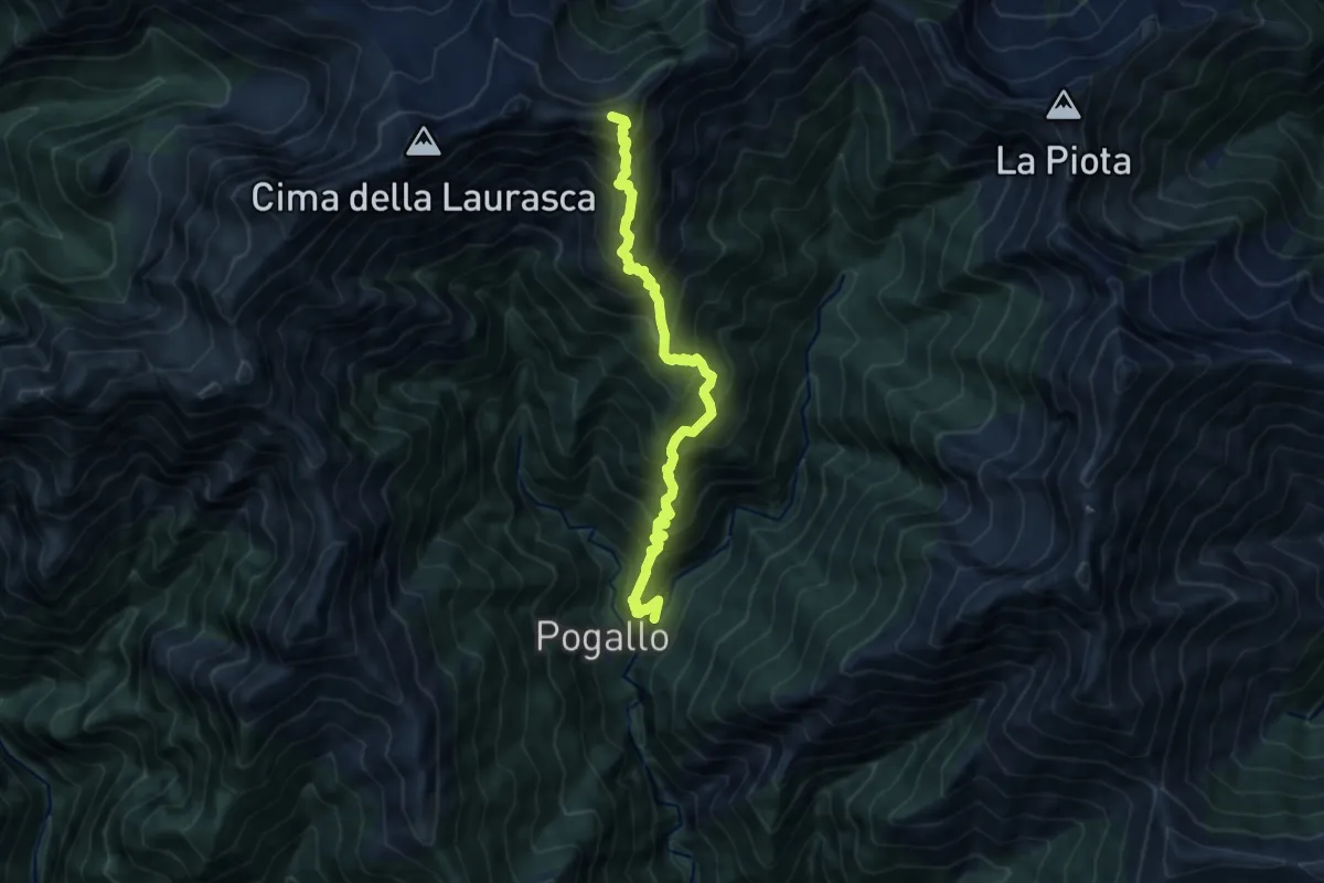
Expert · Summit
P14 - Pogallo - Cima Marsicce
9.9 km · ↑ 1379 m · 5 h 19 min · 12 km away
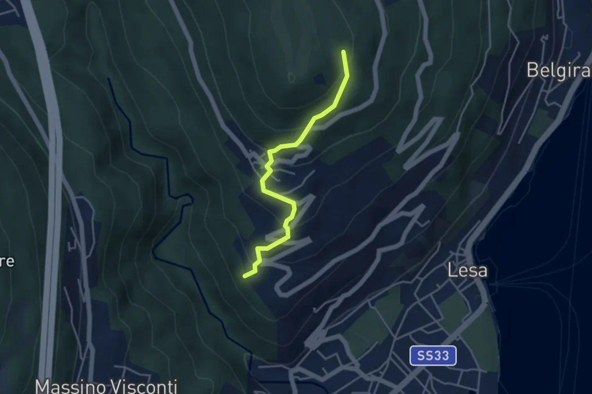
Easy · Trail
VL4 - Comnago - Calogna
3.4 km · ↑ 238 m · 1 h 19 min · 12 km away
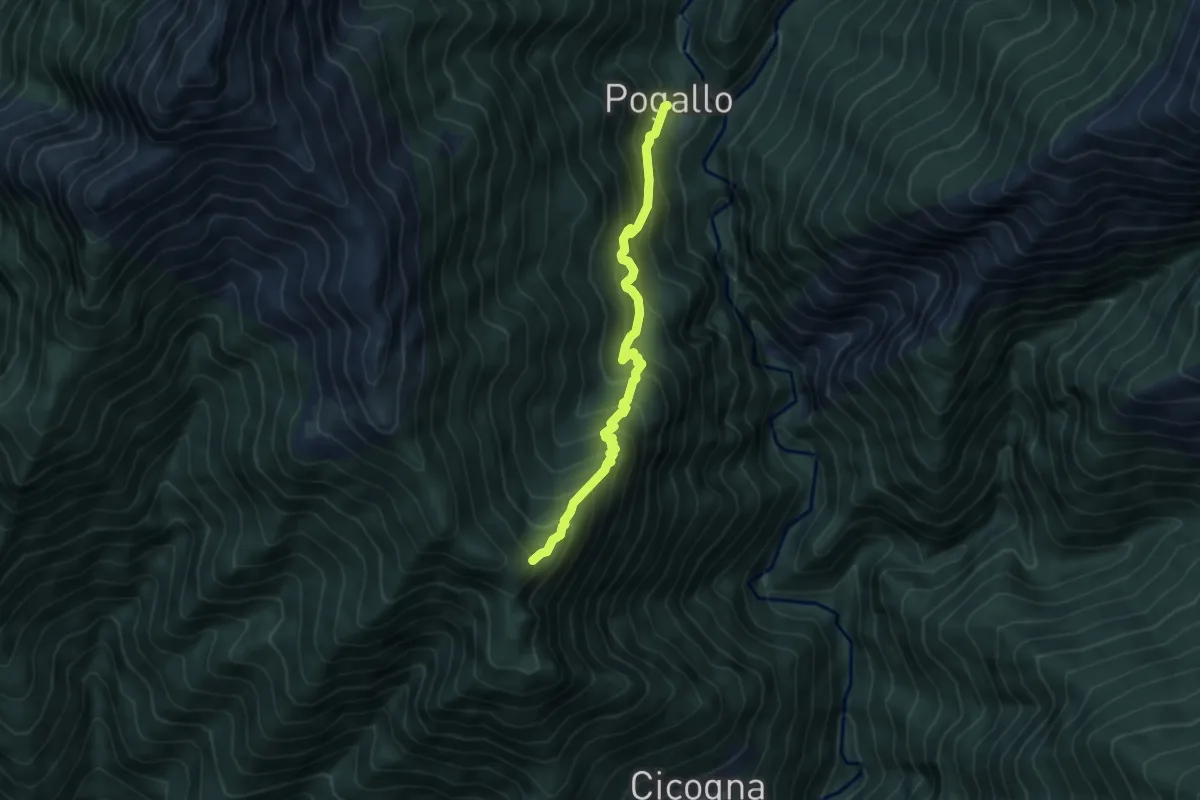
Medium · Trail
P13 - Alpe Pogallo - Alpe Leciurt
5.0 km · ↑ 607 m · 2 h 30 min · 12 km away
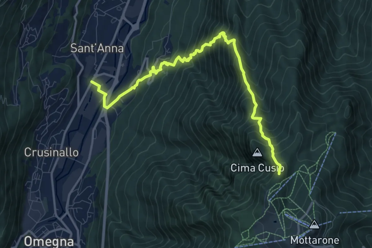
Demanding · Trail
VN3 - Crusinallo - Mottarone
10.9 km · ↑ 1143 m · 5 h 3 min · 12 km away
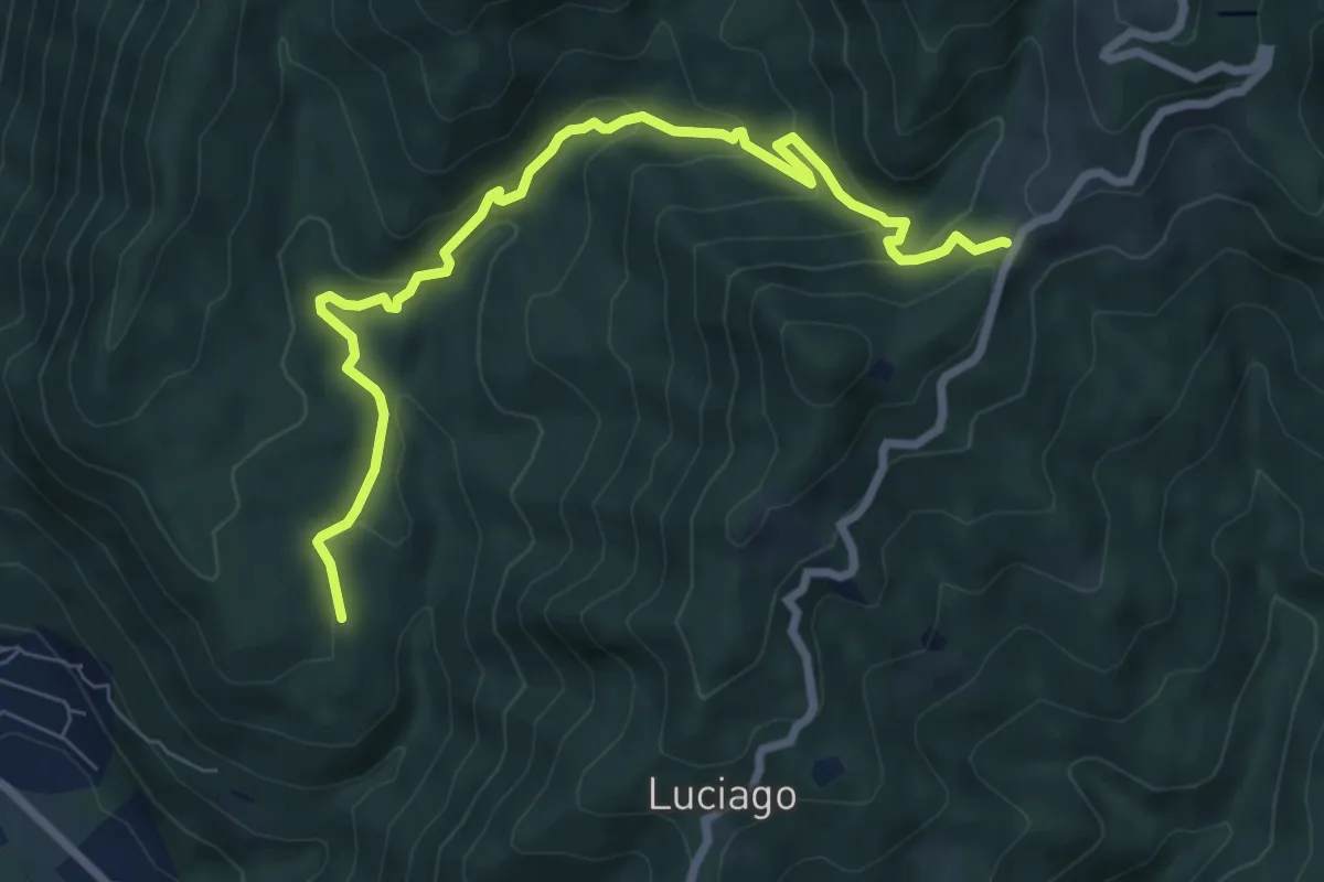
Medium · Trail
VP5 - Alpe Montepiano - Colle di Cortano
8.3 km · ↑ 450 m · 2 h 57 min · 12 km away
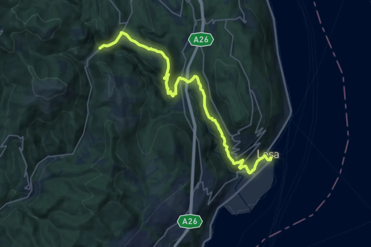
Demanding · Trail
VL7 - Lesa - Gignese
20.7 km · ↑ 724 m · 6 h 27 min · 12 km away
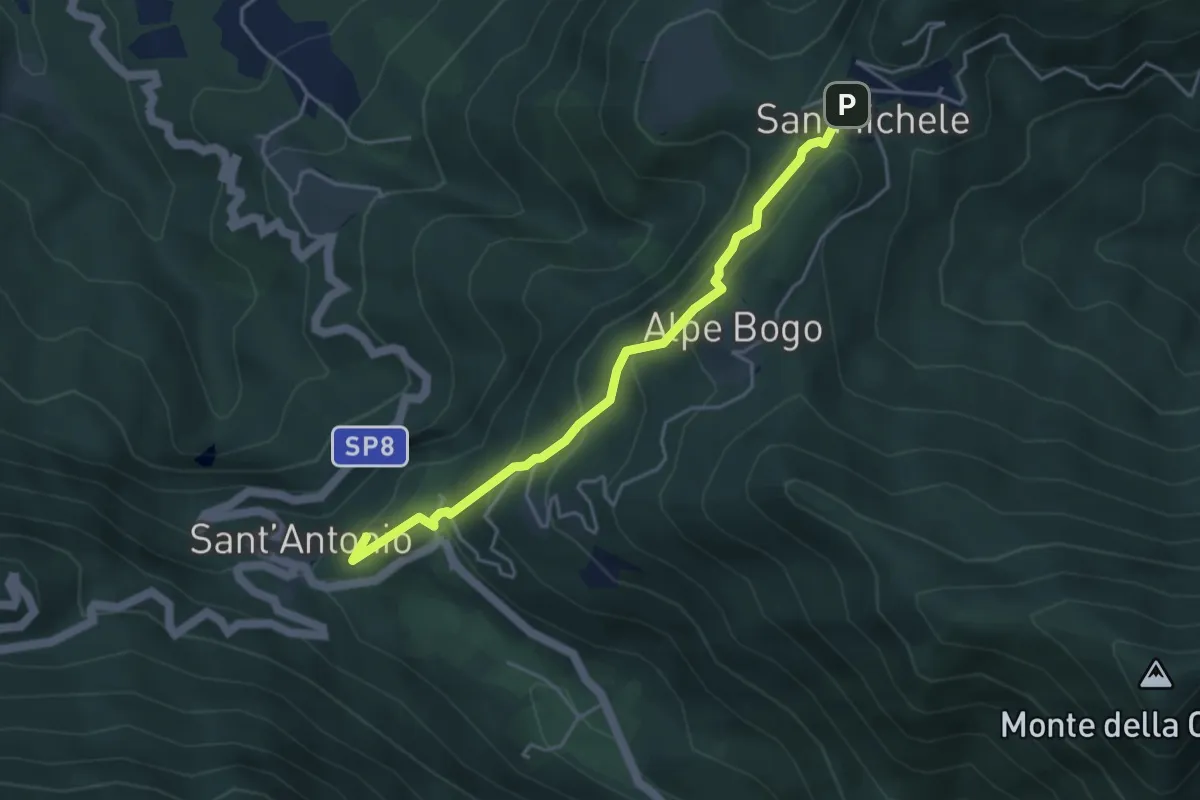
Easy · Summit
San Michele – Sant'Antonio
4.2 km · ↑ 316 m · 1 h 40 min · 12 km away
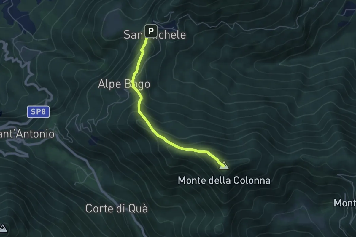
Medium · Summit
San Michele – Monte Colonna-San Martino
4.5 km · ↑ 348 m · 1 h 49 min · 12 km away
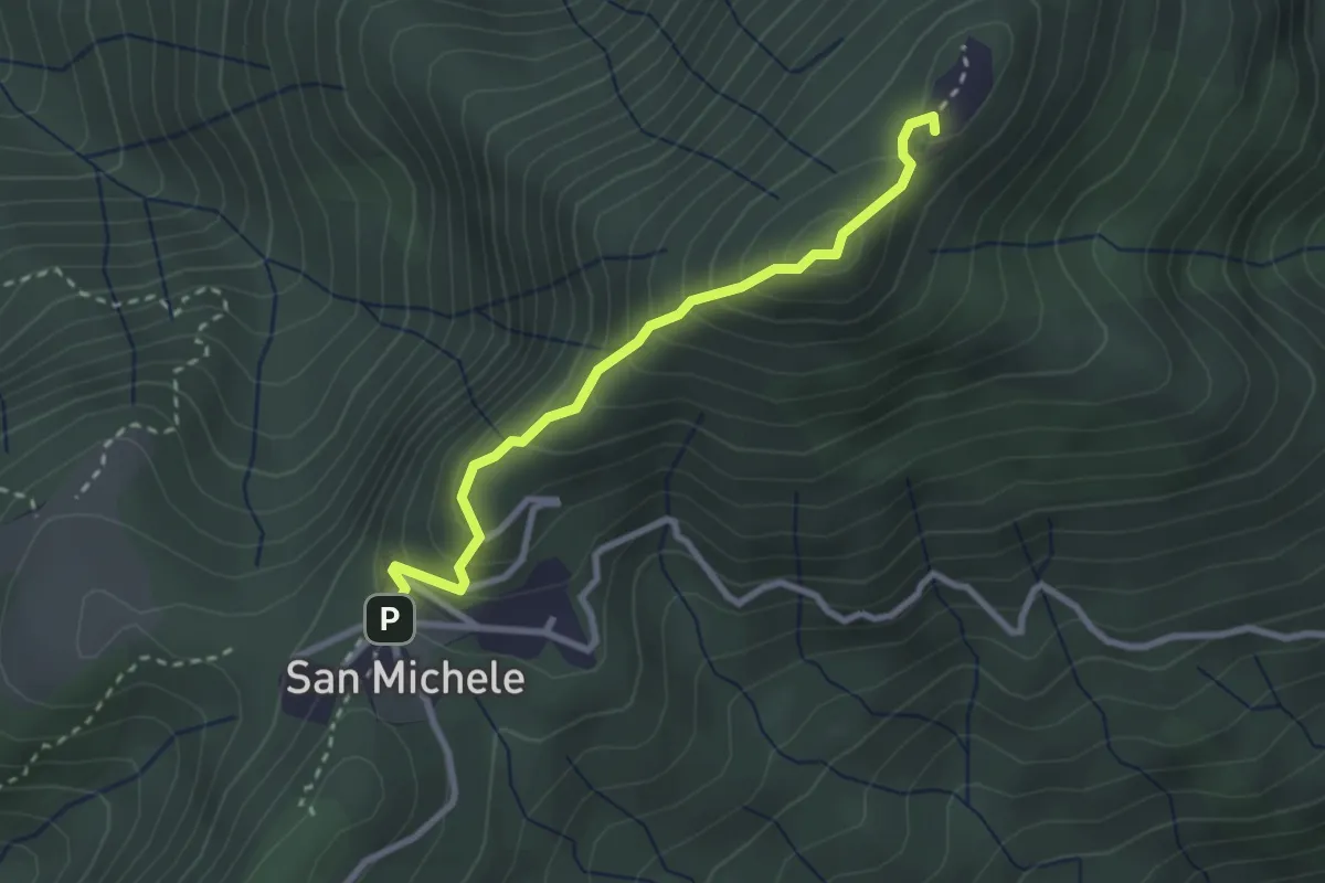
Medium · Summit
4 San Michele_Monte Pian Nave NORD e SUD
2.7 km · ↑ 268 m · 1 h 13 min · 12 km away
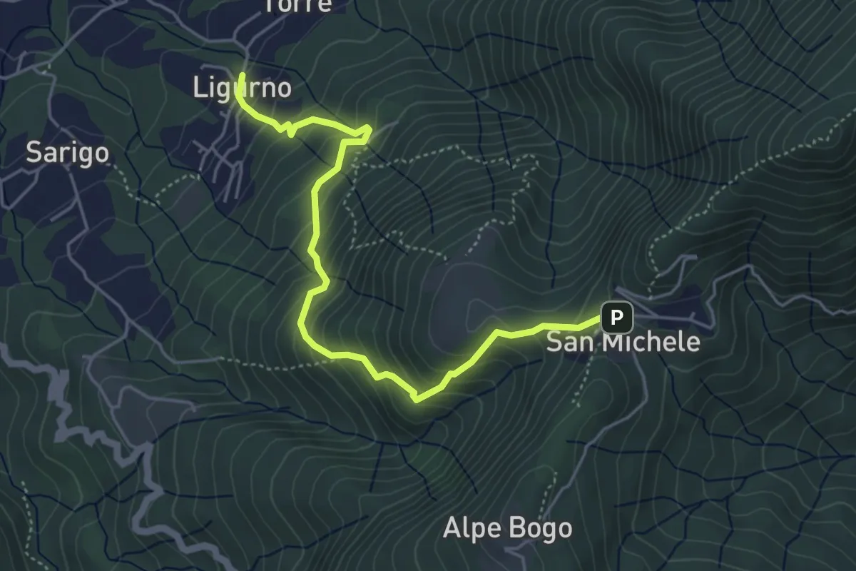
Medium · Trail
243 Sentiero della Valle
5.0 km · ↑ 491 m · 2 h 15 min · 12 km away
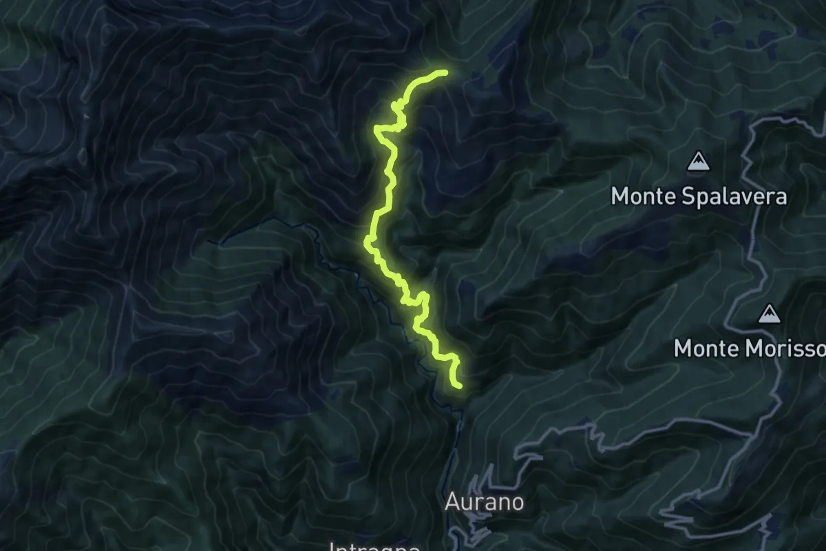
Demanding · Trail
R11 Scareno - Alpe Piaggia - Passo Folungo
11.8 km · ↑ 1167 m · 5 h 18 min · 12 km away
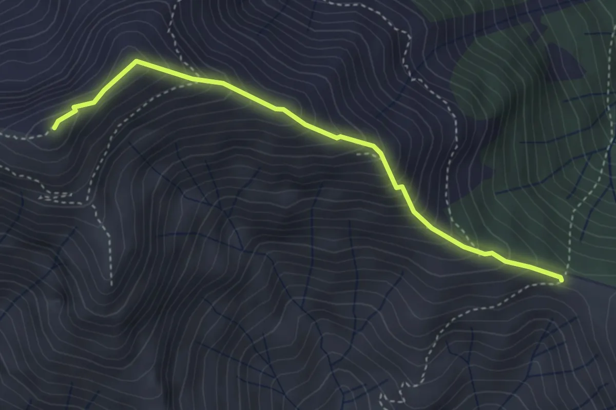
Expert · Summit
R19 Passo Folungo - Monte Vadà - Bivio R20 al Pian Vadà
3.8 km · ↑ 446 m · 1 h 51 min · 12 km away
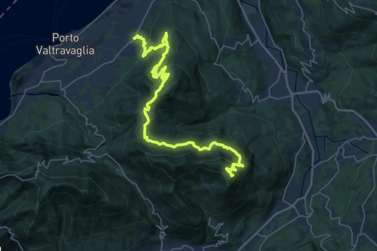
Demanding · Summit
206 3V (Tappa 6 Via Verde Varesina)
26.4 km · ↑ 1745 m · 10 h 1 min · 12 km away
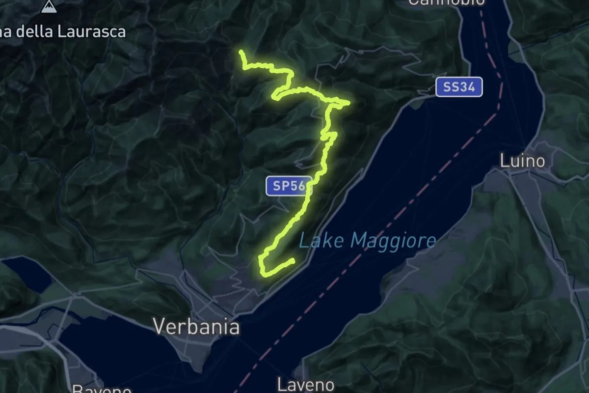
Demanding · Trail
R10 Sacro Monte S.S.Trinità di Ghiffa - Pollino - Piancavallo - Colle - Passo Folungo
21.7 km · ↑ 795 m · 7 h 37 min · 12 km away
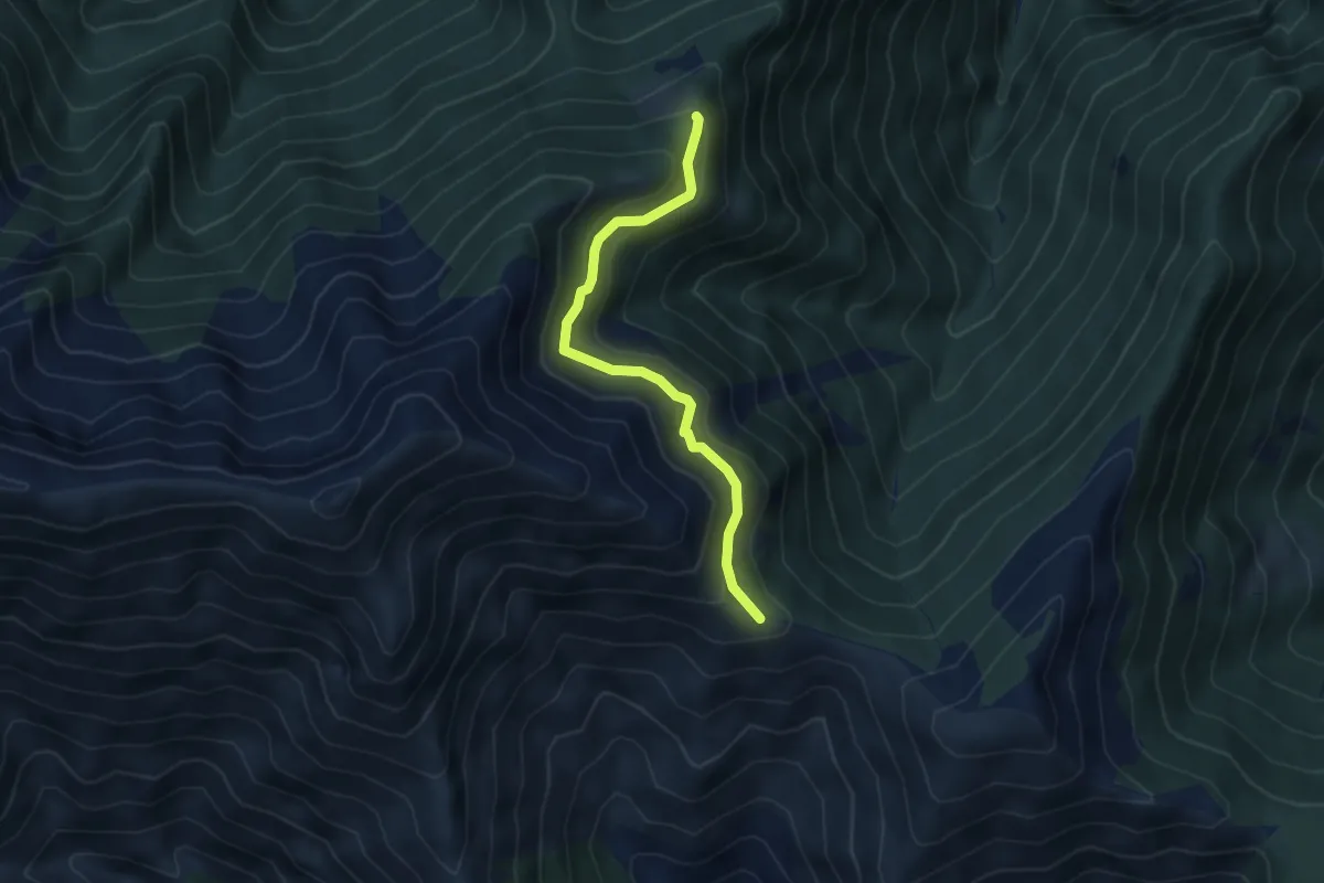
Medium · Trail
S17a Monti Ortighedo - Passo Folungo
4.3 km · ↑ 334 m · 1 h 45 min · 12 km away
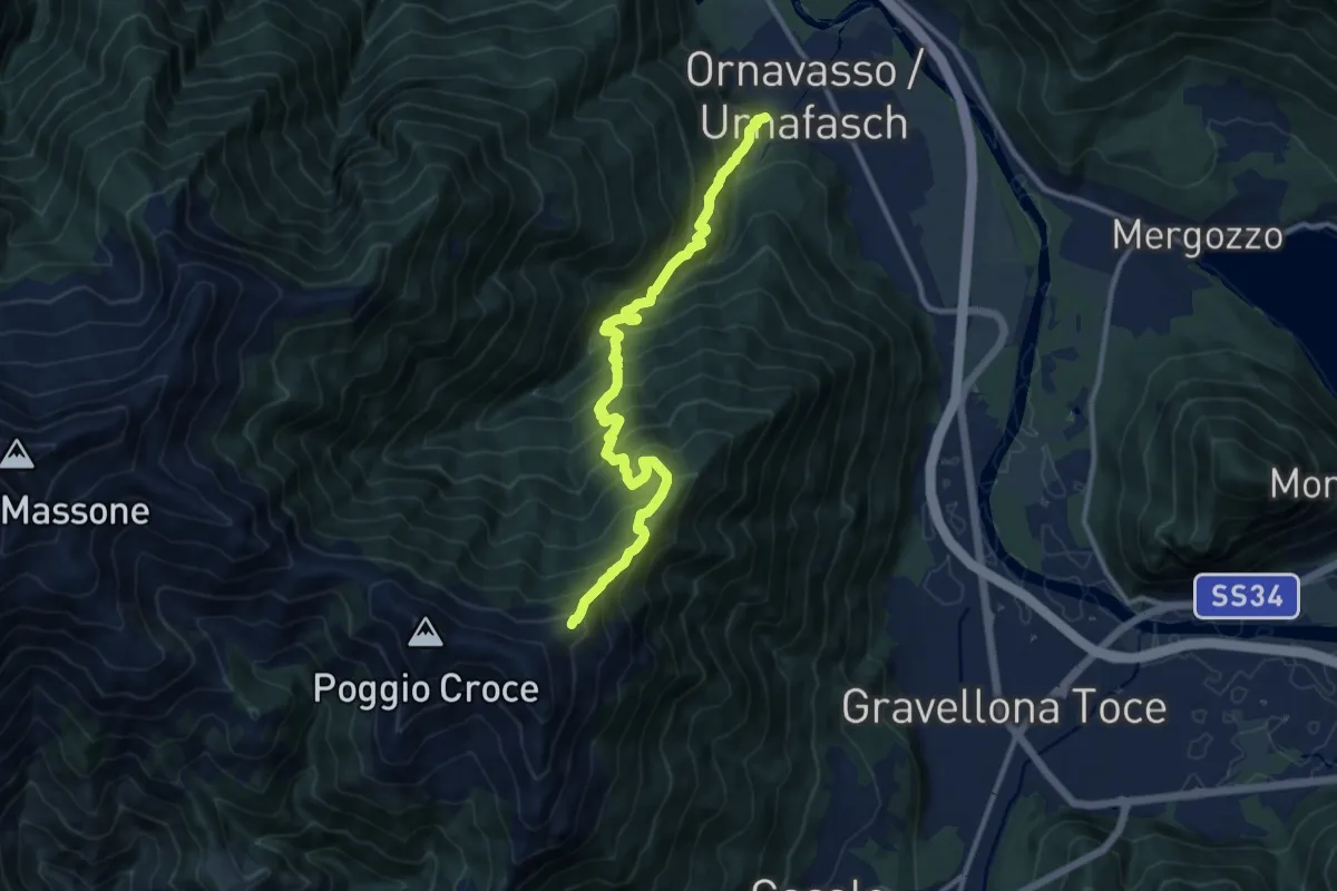
Demanding · Trail
A13 - Ornavasso - bivio T06 Monte Cerano
12.1 km · ↑ 1442 m · 5 h 59 min · 12 km away
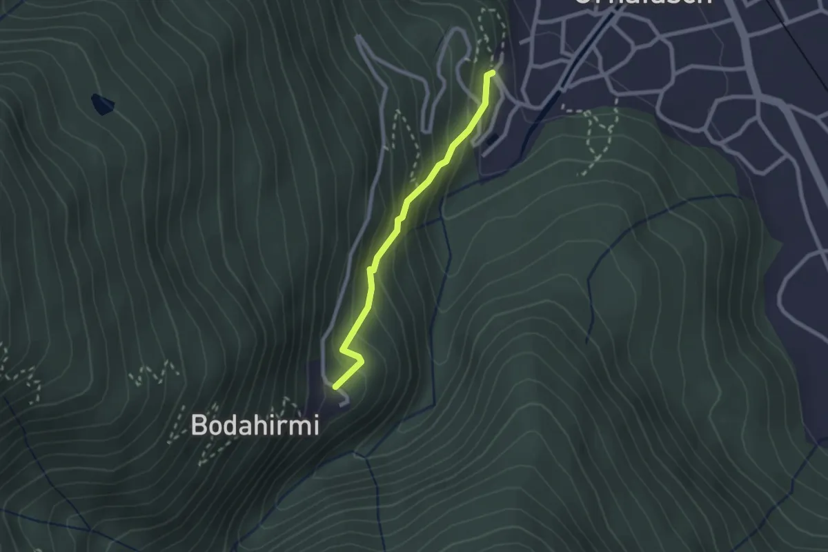
Easy · Trail
Via Crucis di Ornavasso
2.0 km · ↑ 210 m · 55 min · 12 km away