Trails near Verbania
297 hikes starting within 15 km, nearest first.
Nearest first, page 5 of 7
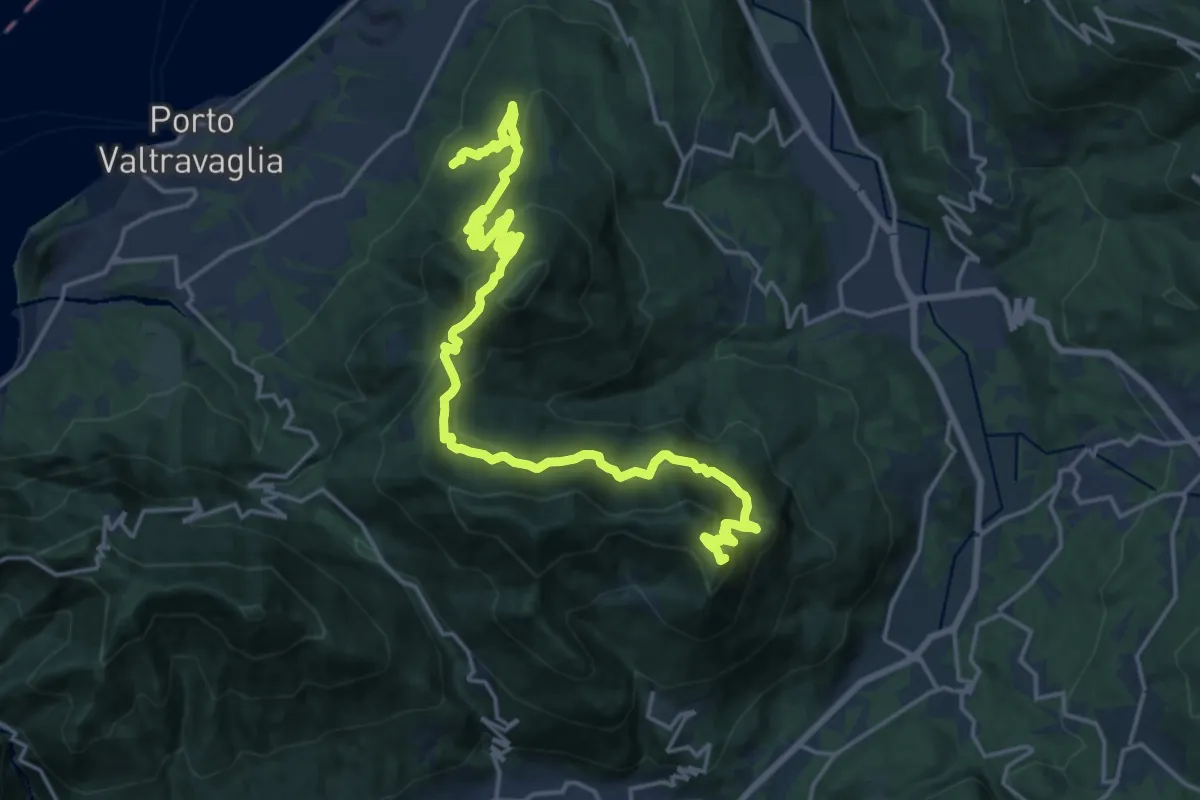
Demanding · Summit
Via Verde Varesina tappa 6
23.7 km · ↑ 1495 m · 8 h 50 min · 12 km away
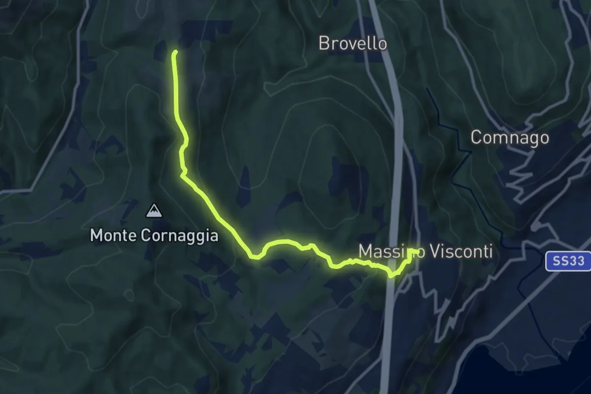
Medium · Trail
VH2 - Massino Visconti - Alpe Canà
8.8 km · ↑ 369 m · 2 h 53 min · 12 km away
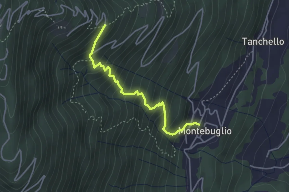
Medium · Trail
T14 - Montebuglio - Alpe Rusa
3.1 km · ↑ 404 m · 1 h 36 min · 12 km away
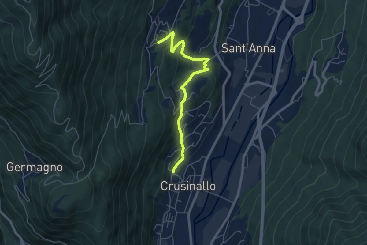
Easy · Trail
T00a - Crusinallo - Montebuglio
4.8 km · ↑ 287 m · 1 h 45 min · 12 km away
Easy · Trail
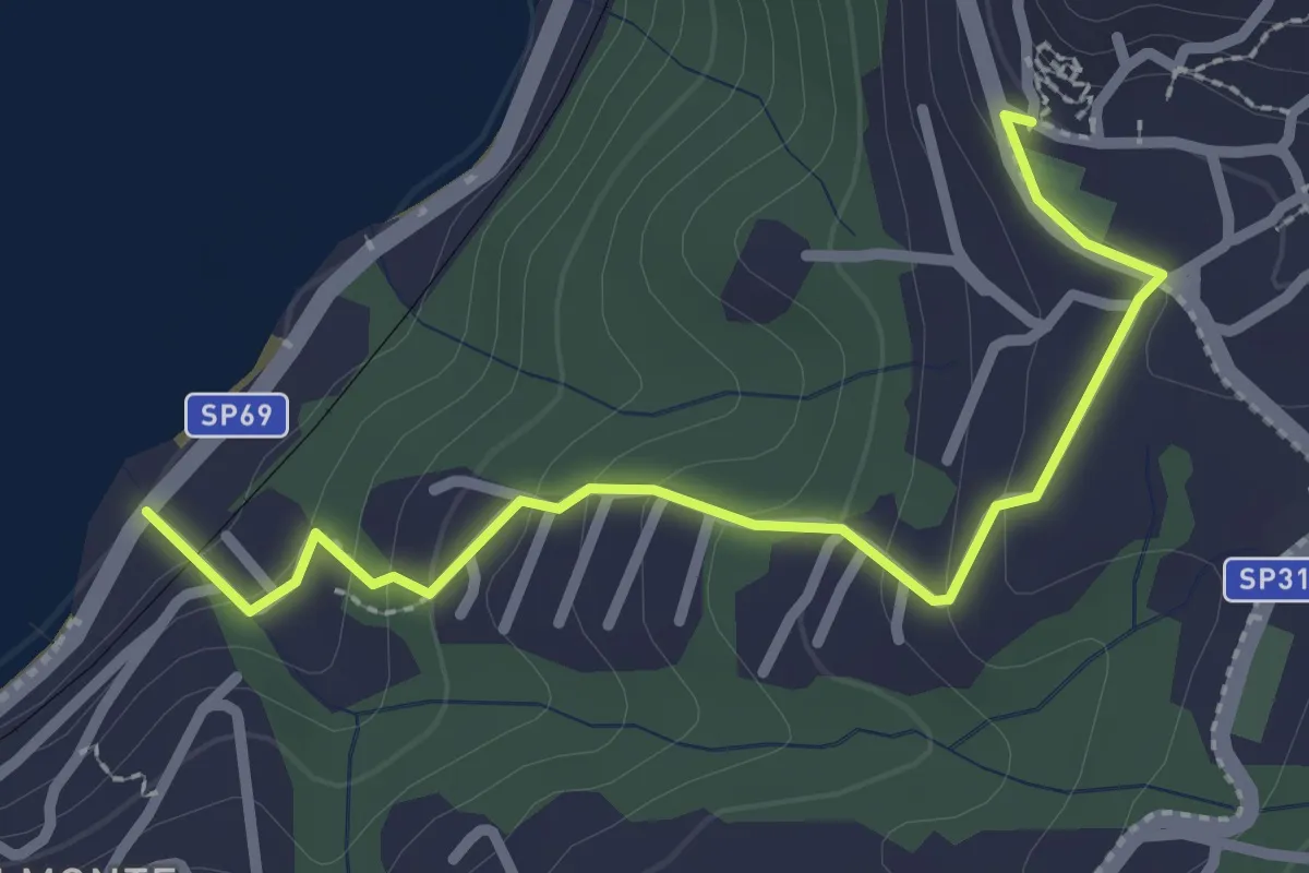
Bedero – Archet
2.7 km · ↑ 152 m · 58 min · 12 km away
Medium · Trail
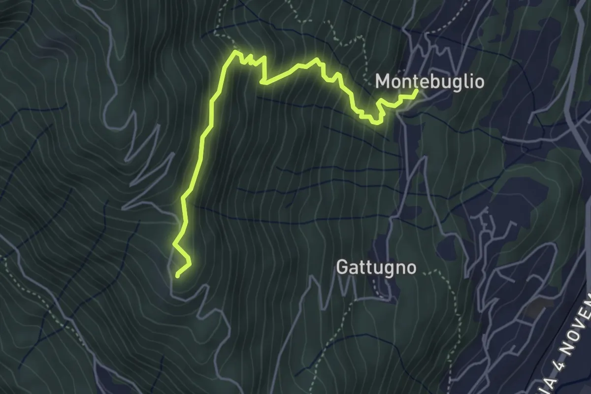
T16 - Montebuglio - AlpeCardello
4.8 km · ↑ 509 m · 2 h 13 min · 12 km away
Expert · Summit
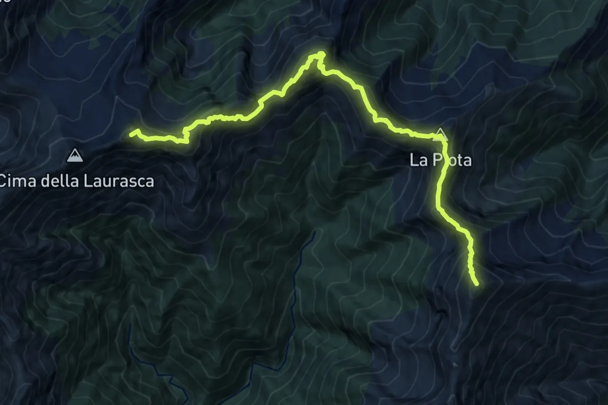
S99 Bocchetta di Cortechiuso - Monte Zeda
14.5 km · ↑ 1678 m · 7 h 4 min · 12 km away
Demanding · Summit
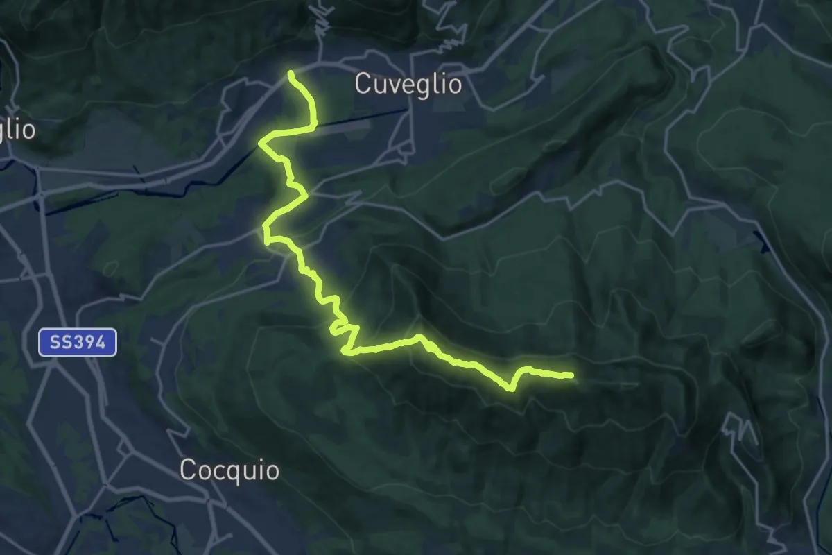
Via Verde Varesina Tappa 3
20.6 km · ↑ 1094 m · 7 h 14 min · 12 km away
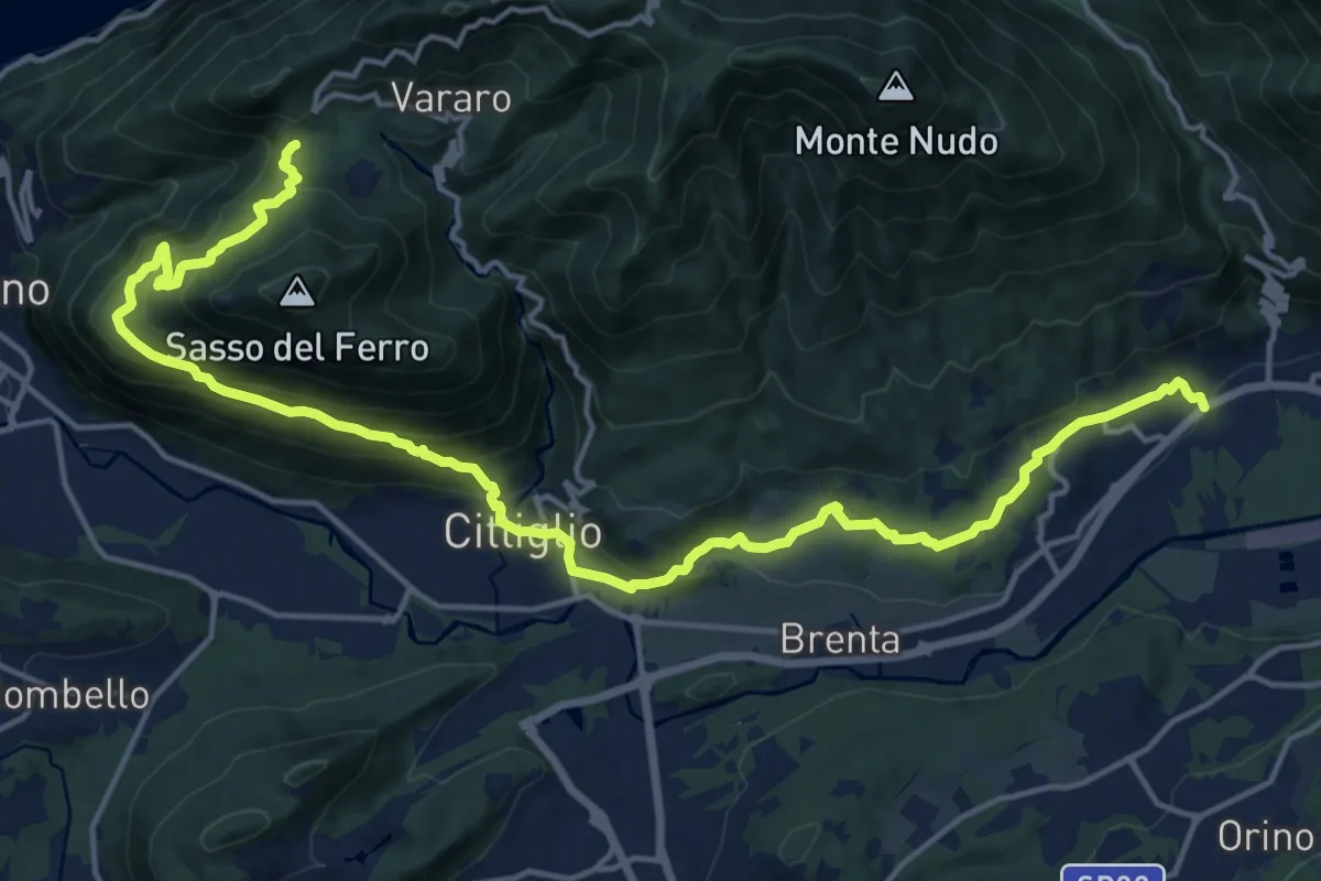
Demanding · Trail
Casalzuigno – Cittiglio-Vararo
21.0 km · ↑ 1143 m · 7 h 26 min · 12 km away
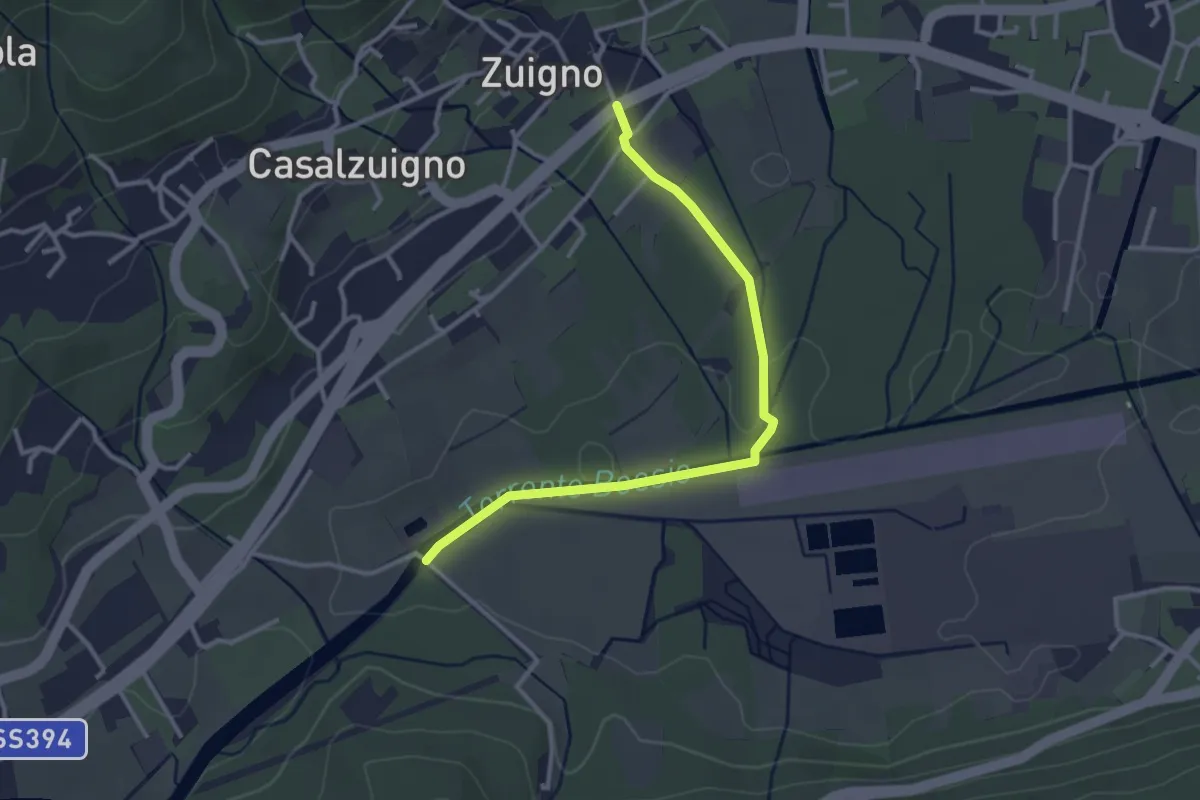
Easy · Trail
Casalzuigno – Località Prada
3.2 km · ↑ 27 m · 49 min · 12 km away
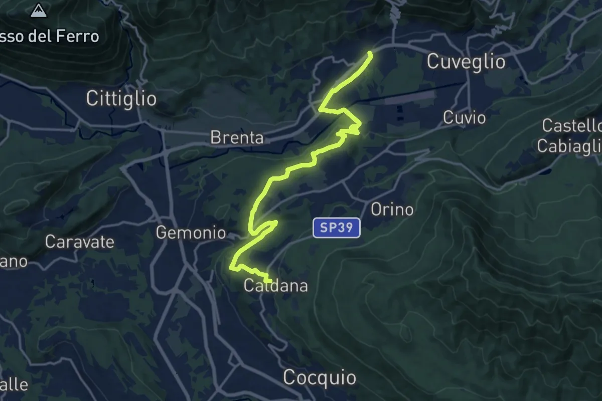
Medium · Trail
Villa Bozzolo – Caldana
15.6 km · ↑ 281 m · 4 h 17 min · 12 km away
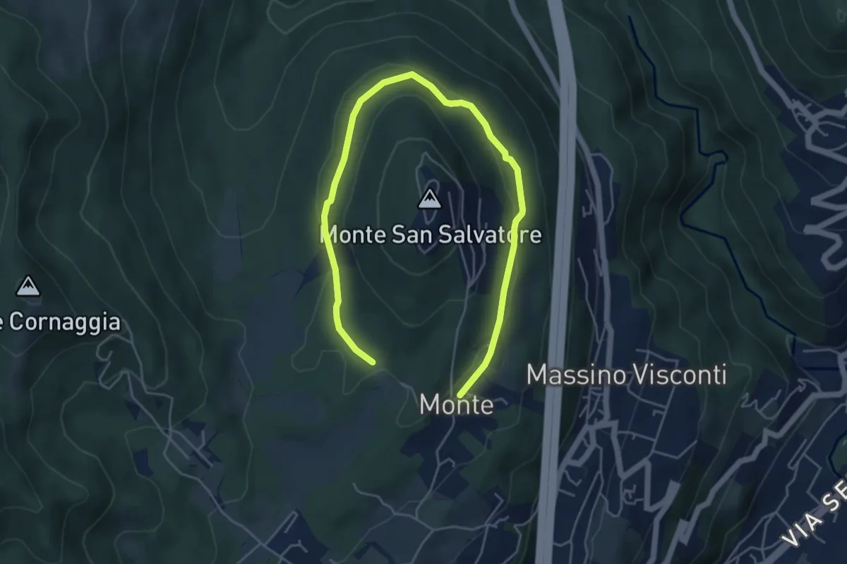
Easy · Trail
VH6 - Anello basso di San Salvatore
6.5 km · ↑ 140 m · 1 h 51 min · 12 km away
Easy · Summit
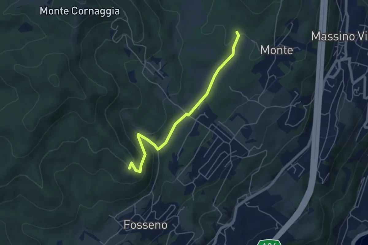
VF7a - Cascina Pianzaghi - Sasso del Pizzo
4.5 km · ↑ 154 m · 1 h 23 min · 12 km away
Demanding · Trail
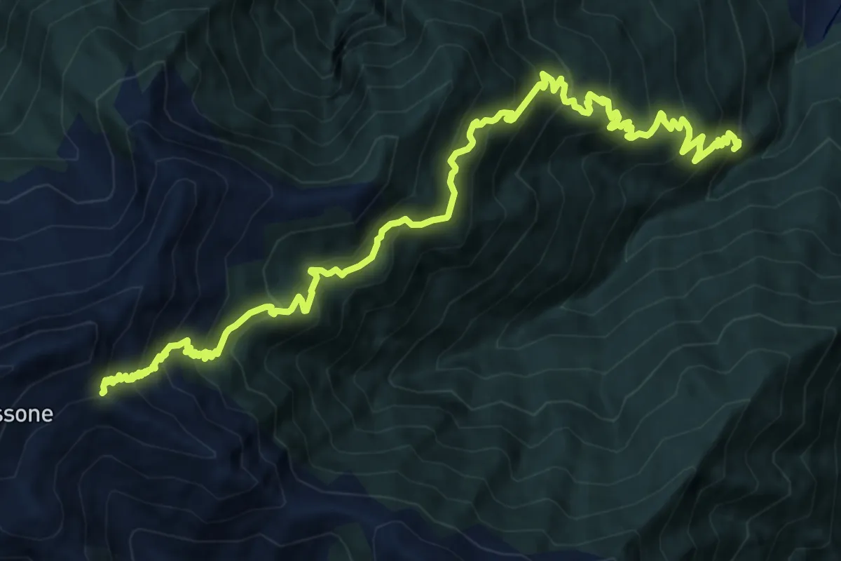
A25 - Madonna del Boden - La Bocchetta
17.1 km · ↑ 1632 m · 7 h 34 min · 12 km away
Easy · Trail
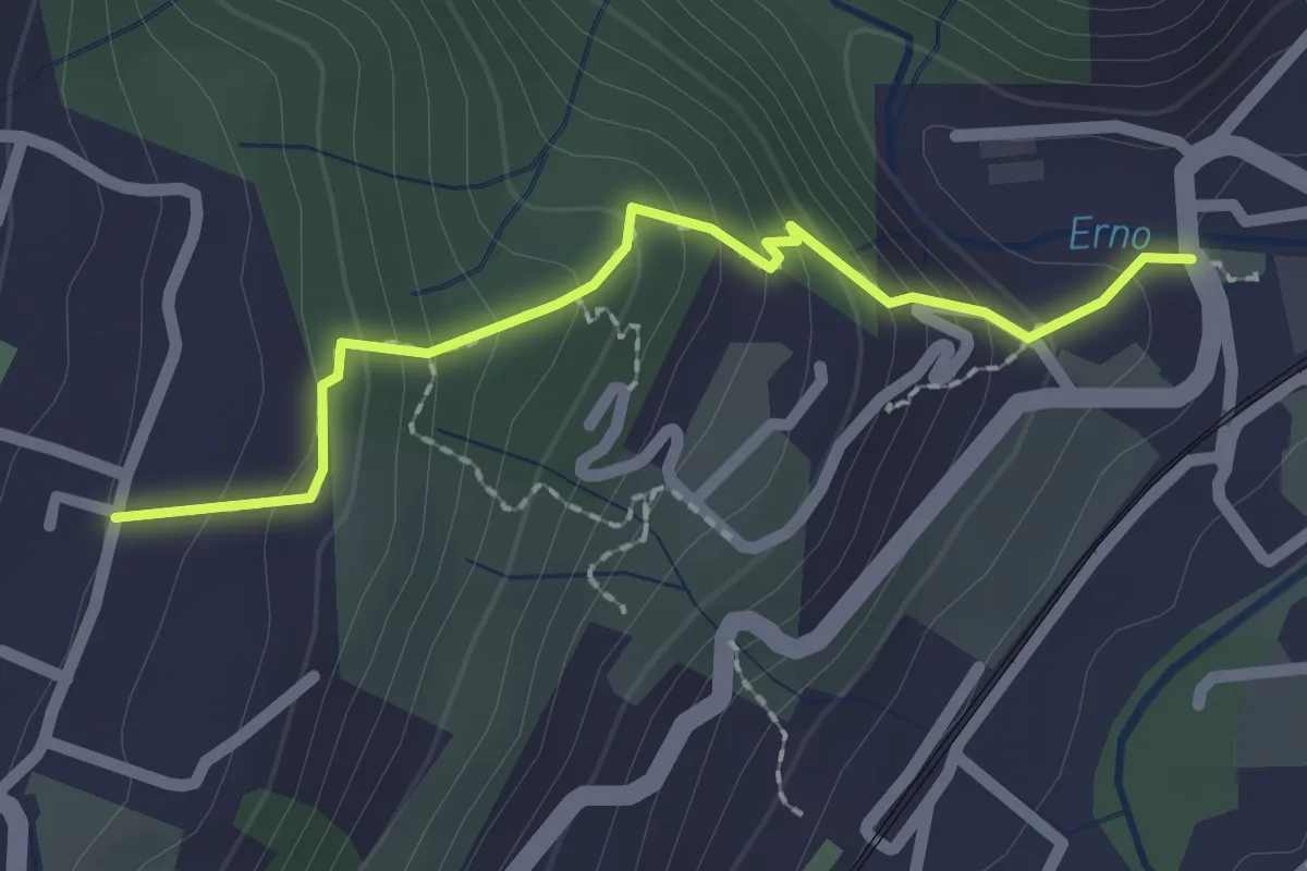
Sentiero Lesa Massino
2.1 km · ↑ 194 m · 55 min · 12 km away
Expert · Summit
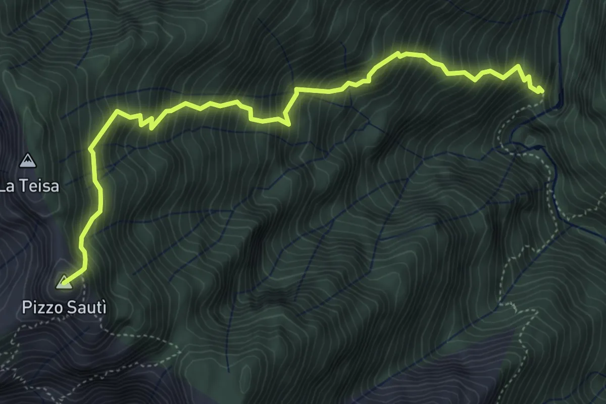
X06 - Orfalecchio - Alpe Rodugno - Bocchetta di Saltir
5.7 km · ↑ 1069 m · 3 h 40 min · 13 km away
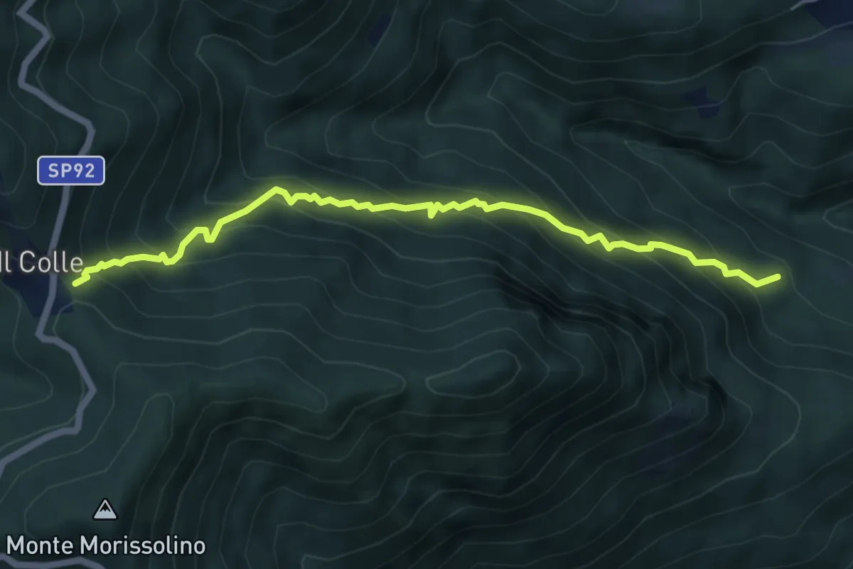
Medium · Trail
R28 Malpensata (Oggiogno) - Colle
5.9 km · ↑ 783 m · 3 h 5 min · 13 km away
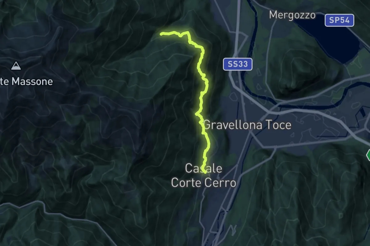
Demanding · Trail
T02 - Casale Corte Cerro - San Bartolomeo
13.4 km · ↑ 1208 m · 5 h 46 min · 13 km away
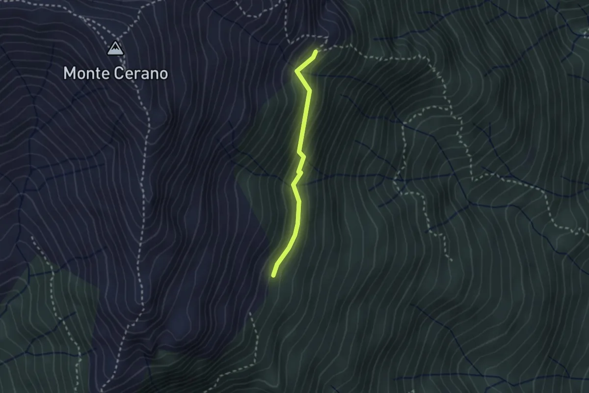
Medium · Trail
T06b - Alpe Pianelle - Alpe Colla
2.1 km · ↑ 164 m · 51 min · 13 km away
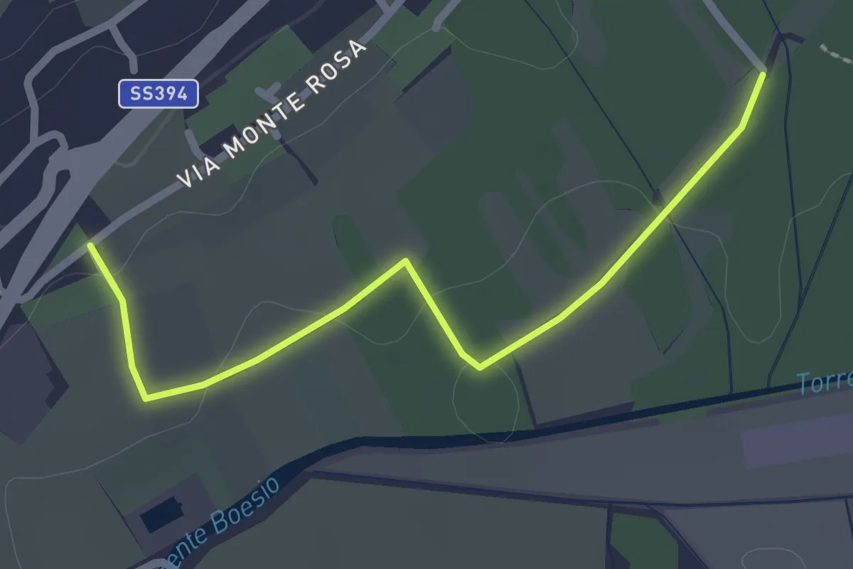
Easy · Trail
Raccordo 302 – Raccordo 302C
2.3 km · ↑ 21 m · 35 min · 13 km away
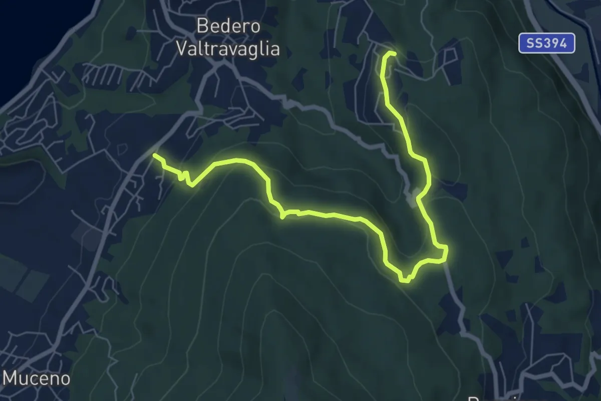
Medium · Trail
Bedero – Villaggio Olandese
7.4 km · ↑ 362 m · 2 h 32 min · 13 km away
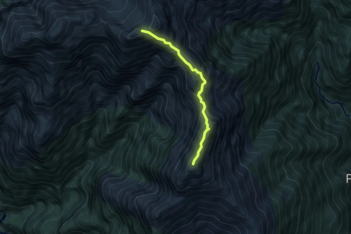
Expert · Summit
X7NS - Strette del Casè via Cima Sasso da Nord a Sud
4.1 km · ↑ 430 m · 1 h 54 min · 13 km away
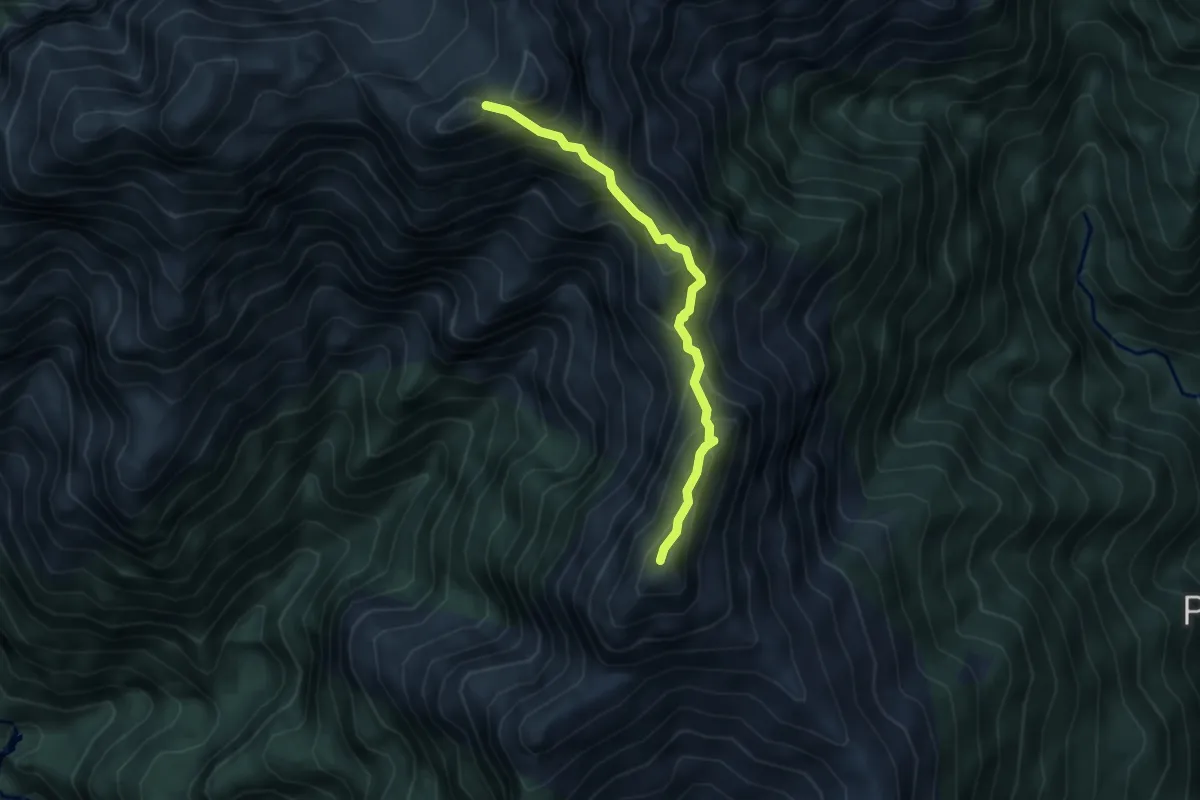
Expert · Summit
X07SN - Strette del Casè via Cima Sasso da Sud a Nord
4.1 km · ↑ 430 m · 1 h 54 min · 13 km away
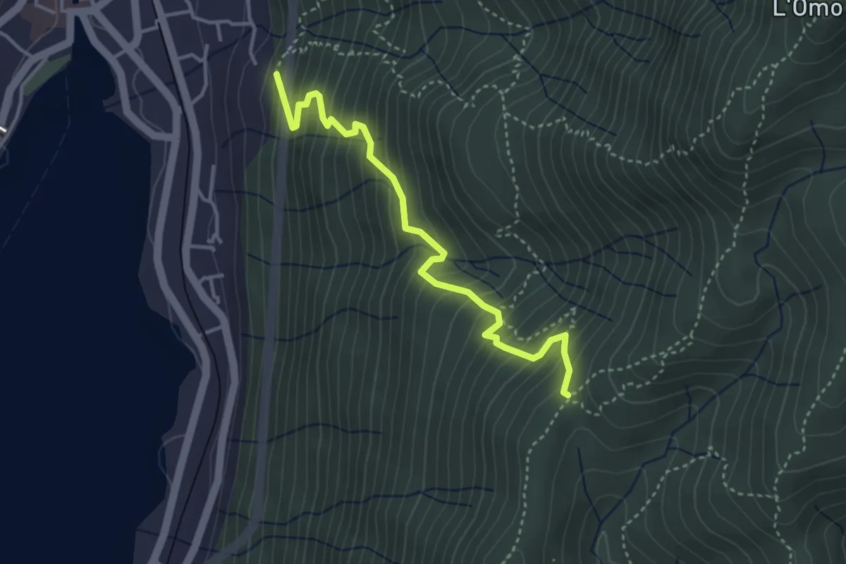
Medium · Trail
VP3 - Omegna - Tre Alberi
3.7 km · ↑ 502 m · 1 h 58 min · 13 km away
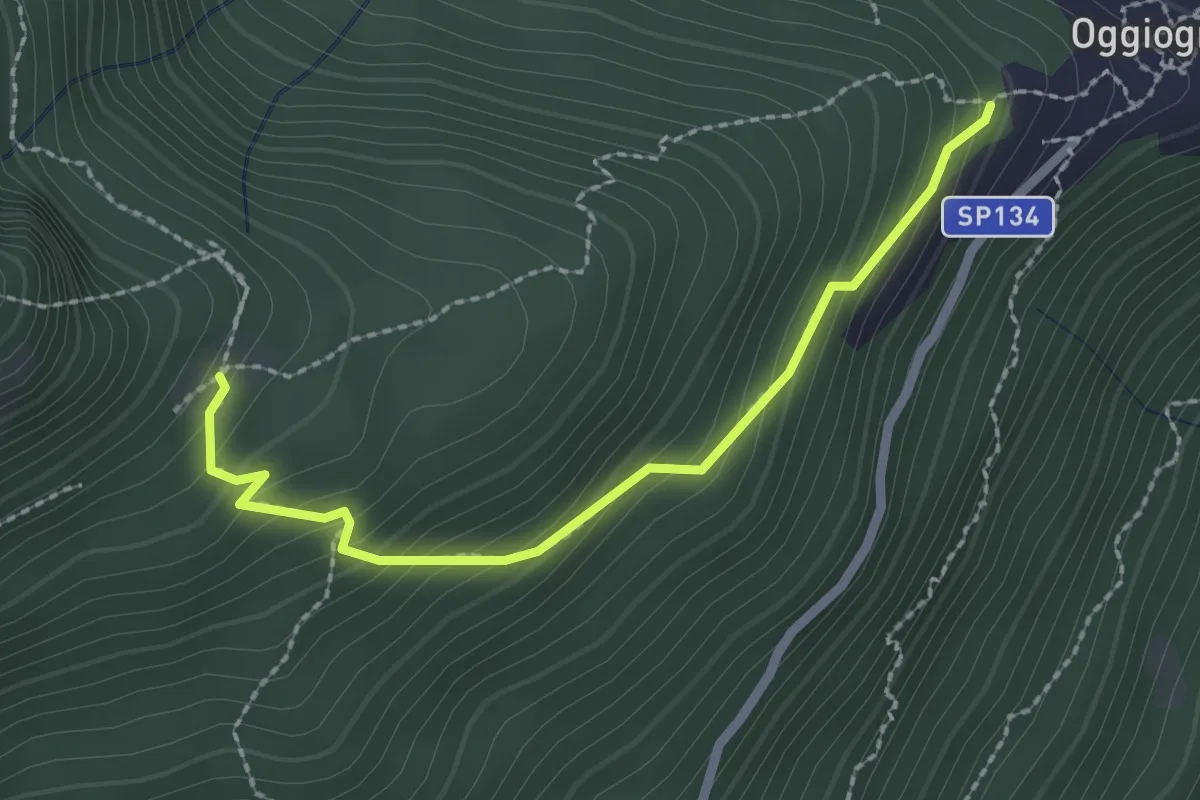
Easy · Trail
R26a Oggiogno bivio R26 - Alpe Ronno
2.4 km · ↑ 226 m · 1 h 3 min · 13 km away
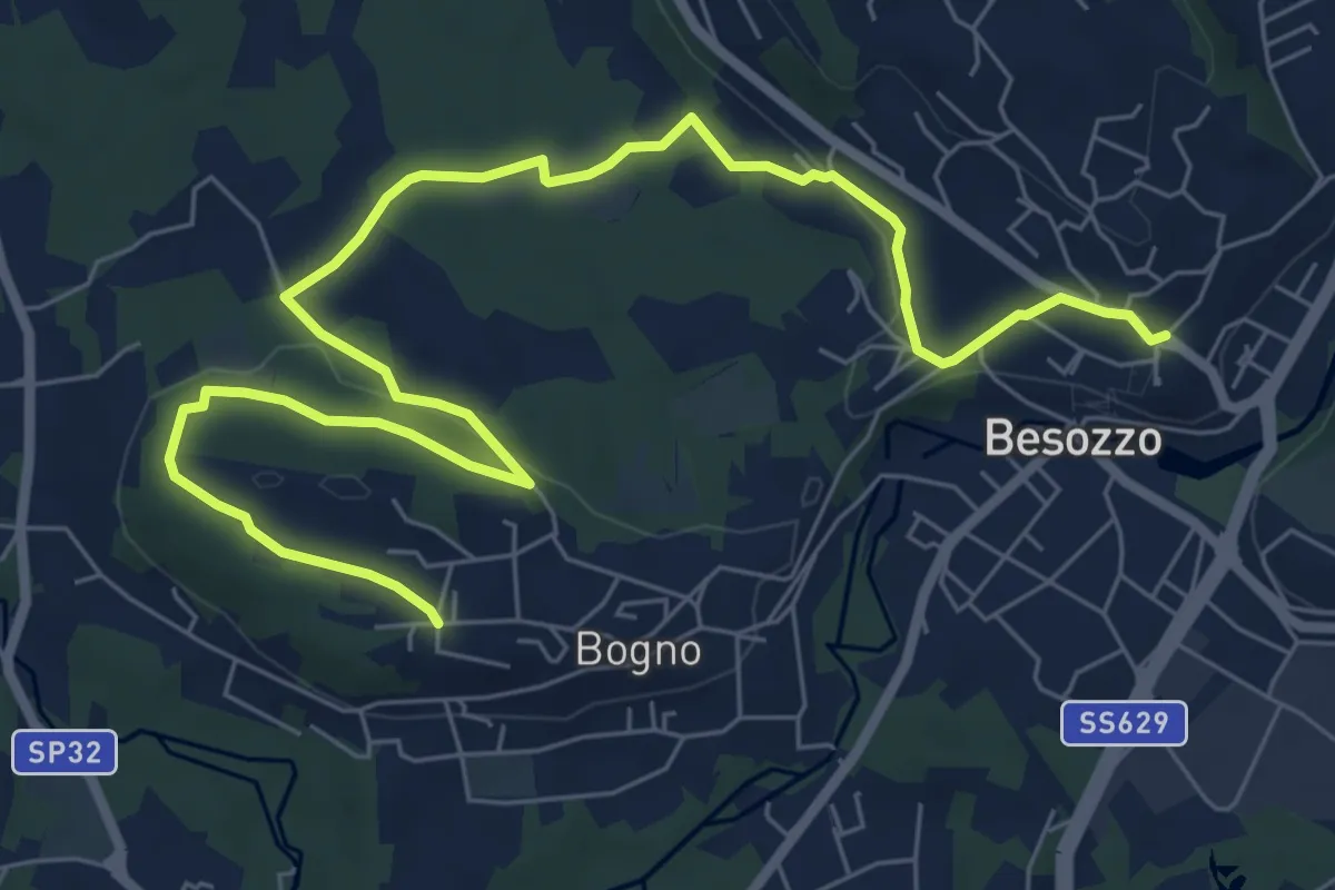
Medium · Trail
Anello di Besozzo - Bogno/Besozzo
9.7 km · ↑ 172 m · 2 h 39 min · 13 km away
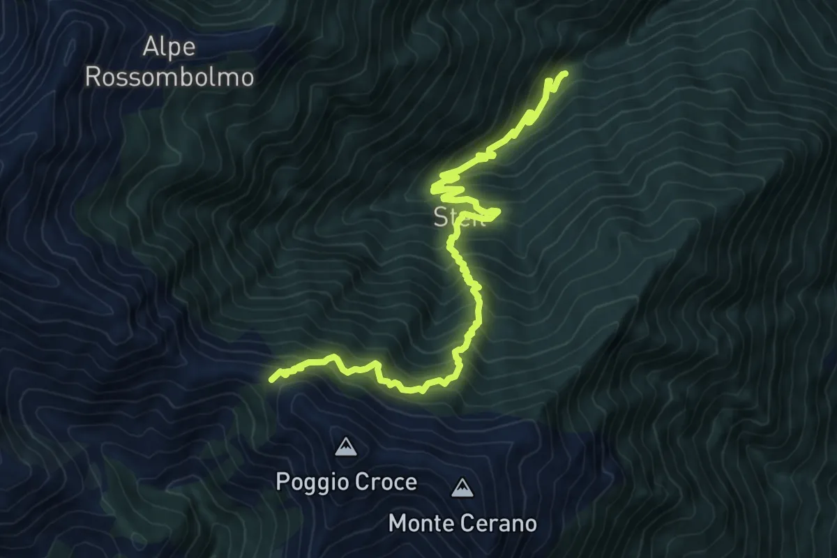
Demanding · Trail
A15 - Alpe Sarledi - Bocchetta di Bagnone
11.1 km · ↑ 1255 m · 5 h 21 min · 13 km away
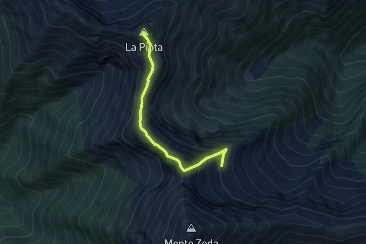
Demanding · Summit
SENTIERO BOVE - 3A TAPPA da Bivacco Alpe Forna' a Bivacco Lidesh
4.0 km · ↑ 473 m · 1 h 58 min · 13 km away
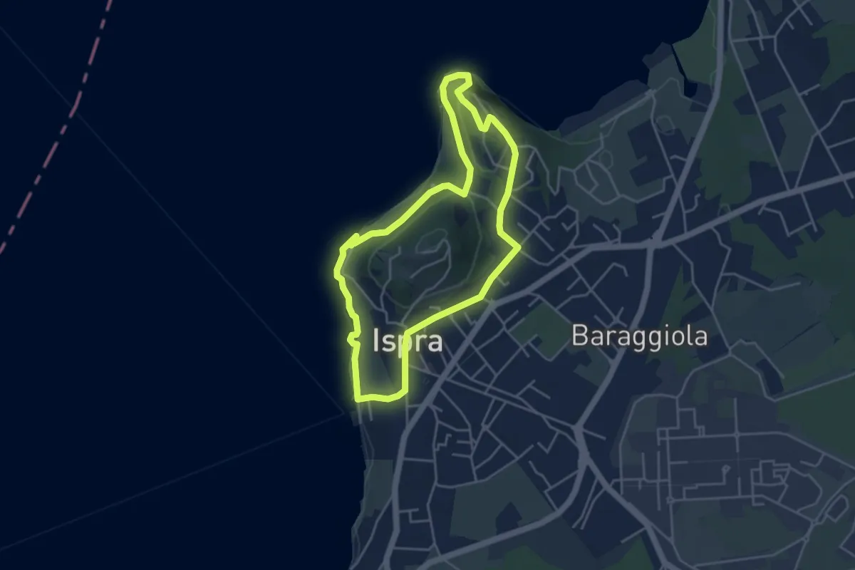
Easy · Summit
Anello delle fornaci
4.1 km · ↑ 137 m · 1 h 19 min · 13 km away
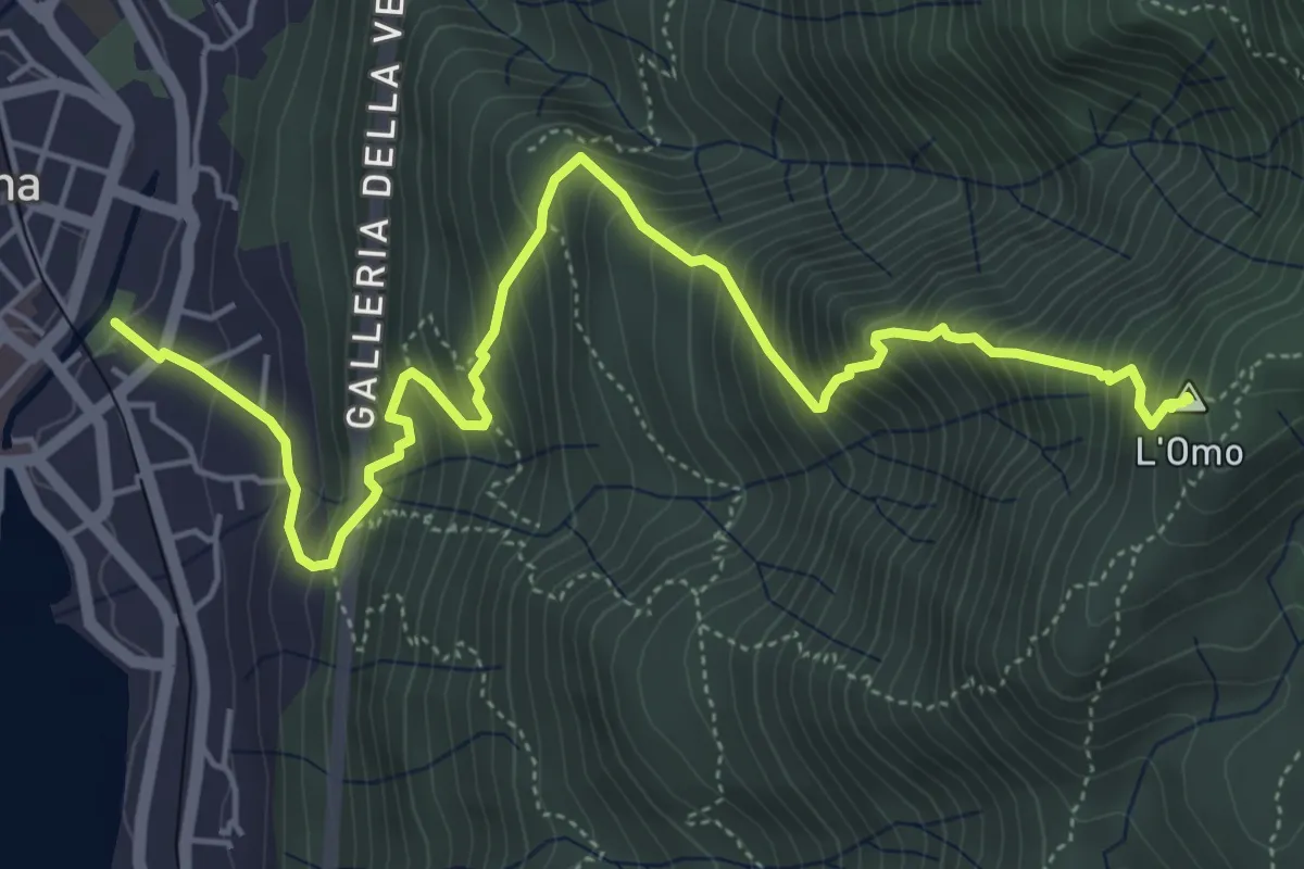
Demanding · Summit
VP2 - Omegna - Mottarone
6.5 km · ↑ 916 m · 3 h 31 min · 13 km away
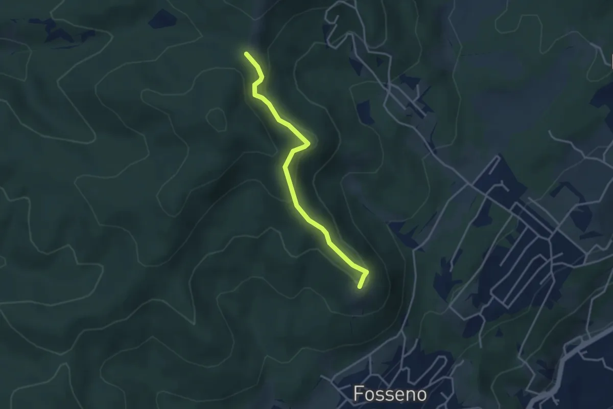
Easy · Summit
VF5 - Fosseno - Il Giogo
3.2 km · ↑ 133 m · 1 h 2 min · 13 km away
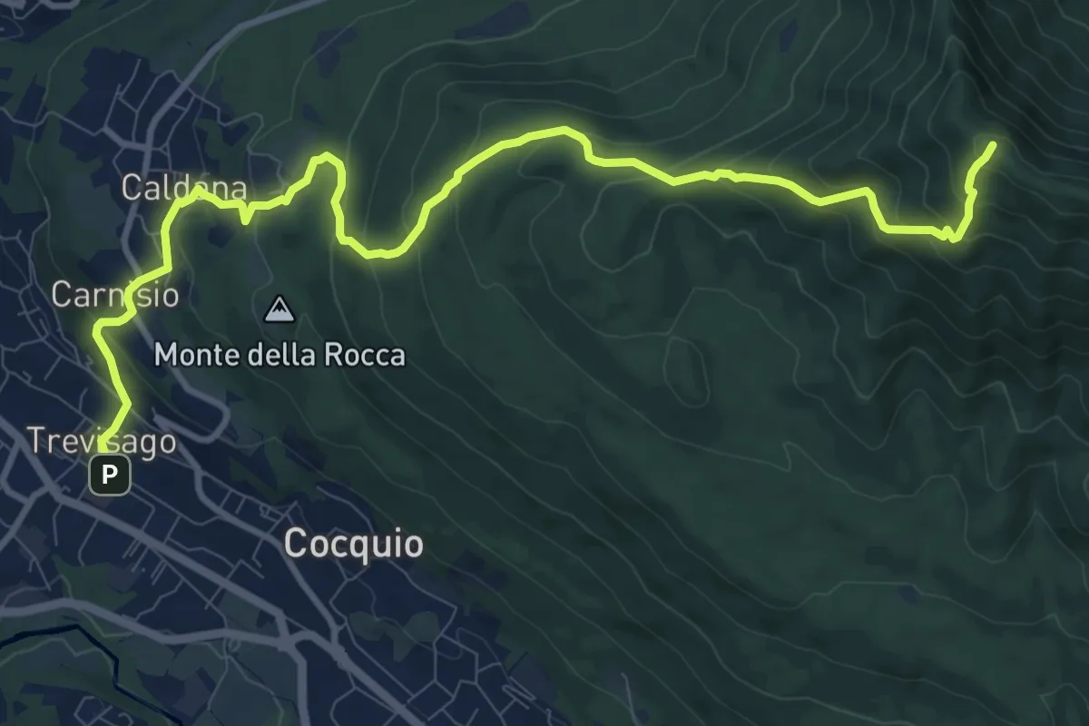
Demanding · Summit
Cocquio Trevisago – Forte di Orino
12.6 km · ↑ 832 m · 4 h 47 min · 13 km away
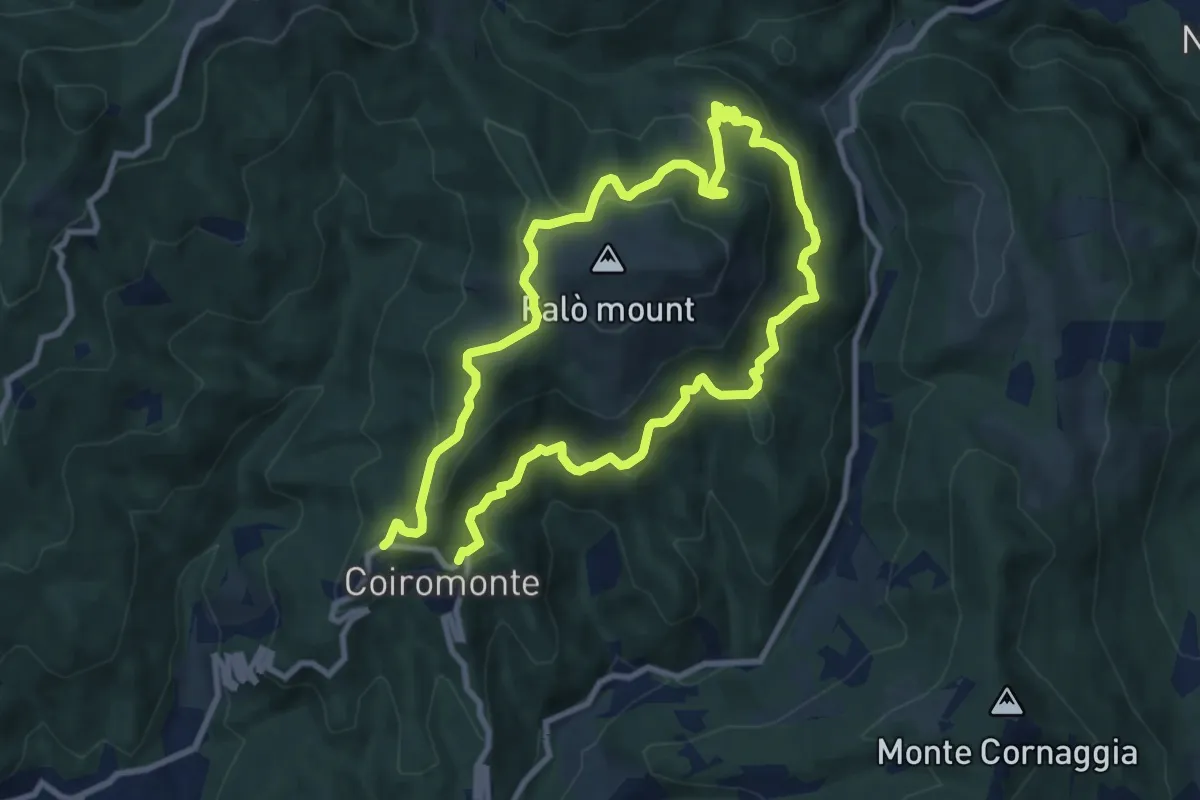
Medium · Summit
Armeno, anello Falò
8.3 km · ↑ 475 m · 3 h 6 min · 13 km away
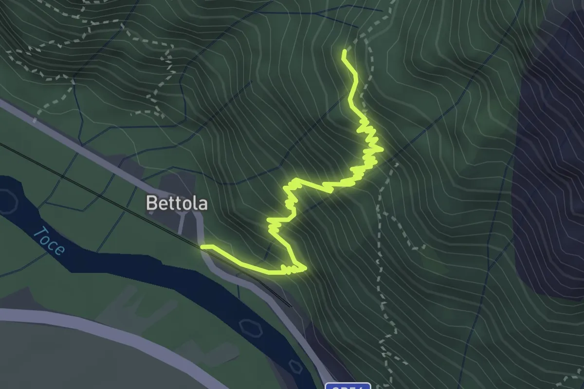
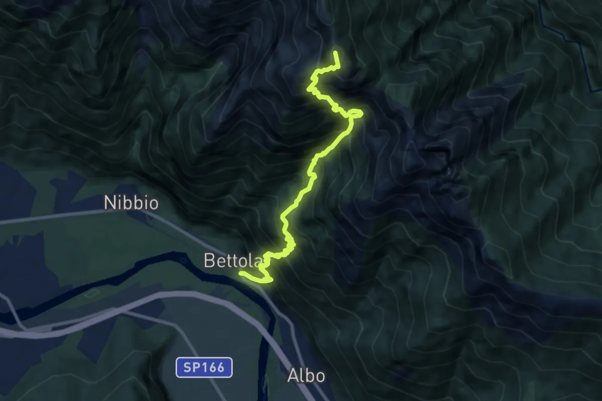
Demanding · Trail
A48 - Bettola - Strada Cadorna - Alpe Corte
4.0 km · ↑ 588 m · 2 h 13 min · 13 km away
Demanding · Summit
XA48 - Bettola - Strada Cadorna - Alpe Corte - Bta di Saltir
9.2 km · ↑ 1685 m · 5 h 49 min · 13 km away
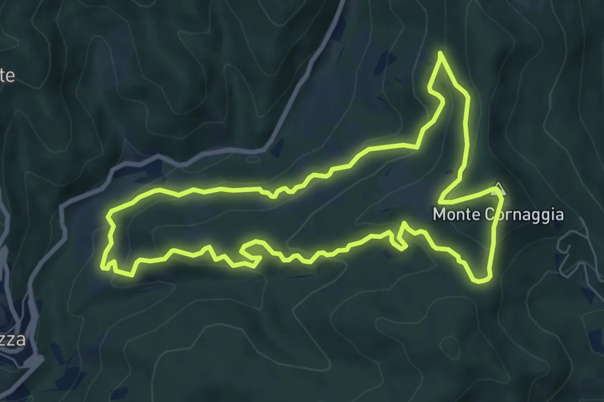
Medium · Summit
Sentiero degli Alpeggi
7.2 km · ↑ 373 m · 2 h 36 min · 13 km away
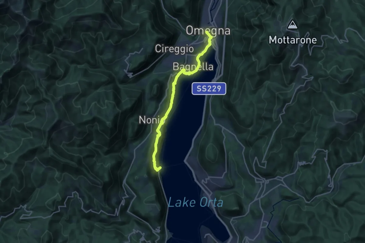
Medium · Trail
T05 - Omegna - Ronco Inferiore
16.5 km · ↑ 776 m · 5 h 34 min · 13 km away
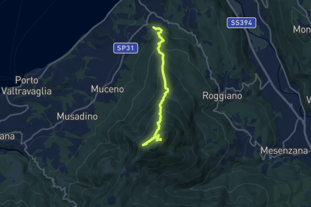
Medium · Summit
Brezzo di Bedero – San Michele
8.5 km · ↑ 731 m · 3 h 35 min · 13 km away
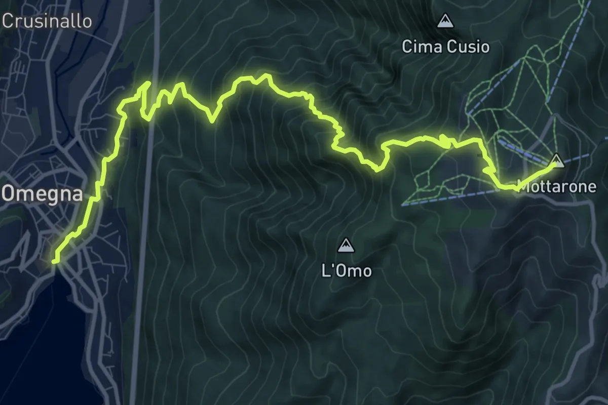
Demanding · Summit
VP1 - Omegna - Mottarone
13.5 km · ↑ 1237 m · 5 h 52 min · 13 km away
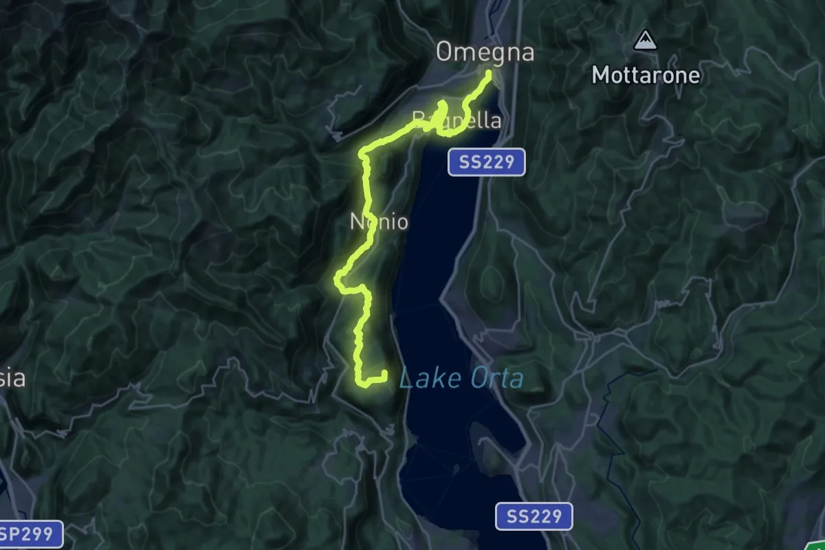
Demanding · Summit
Grand Tour del Lago d'Orta - Tappa 4
26.3 km · ↑ 891 m · 8 h 9 min · 13 km away
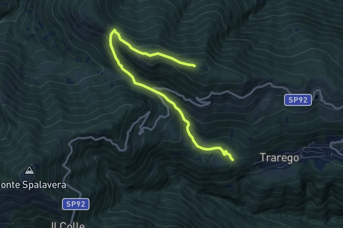
Medium · Summit
R36 Fudrasca - Monte Pian Bello
8.4 km · ↑ 484 m · 3 h 2 min · 13 km away
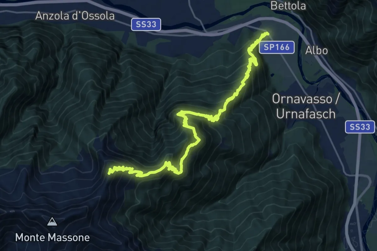
Demanding · Summit
A21 - Punta di Migiandone - Cima Tre Croci
23.9 km · ↑ 1959 m · 9 h 53 min · 13 km away
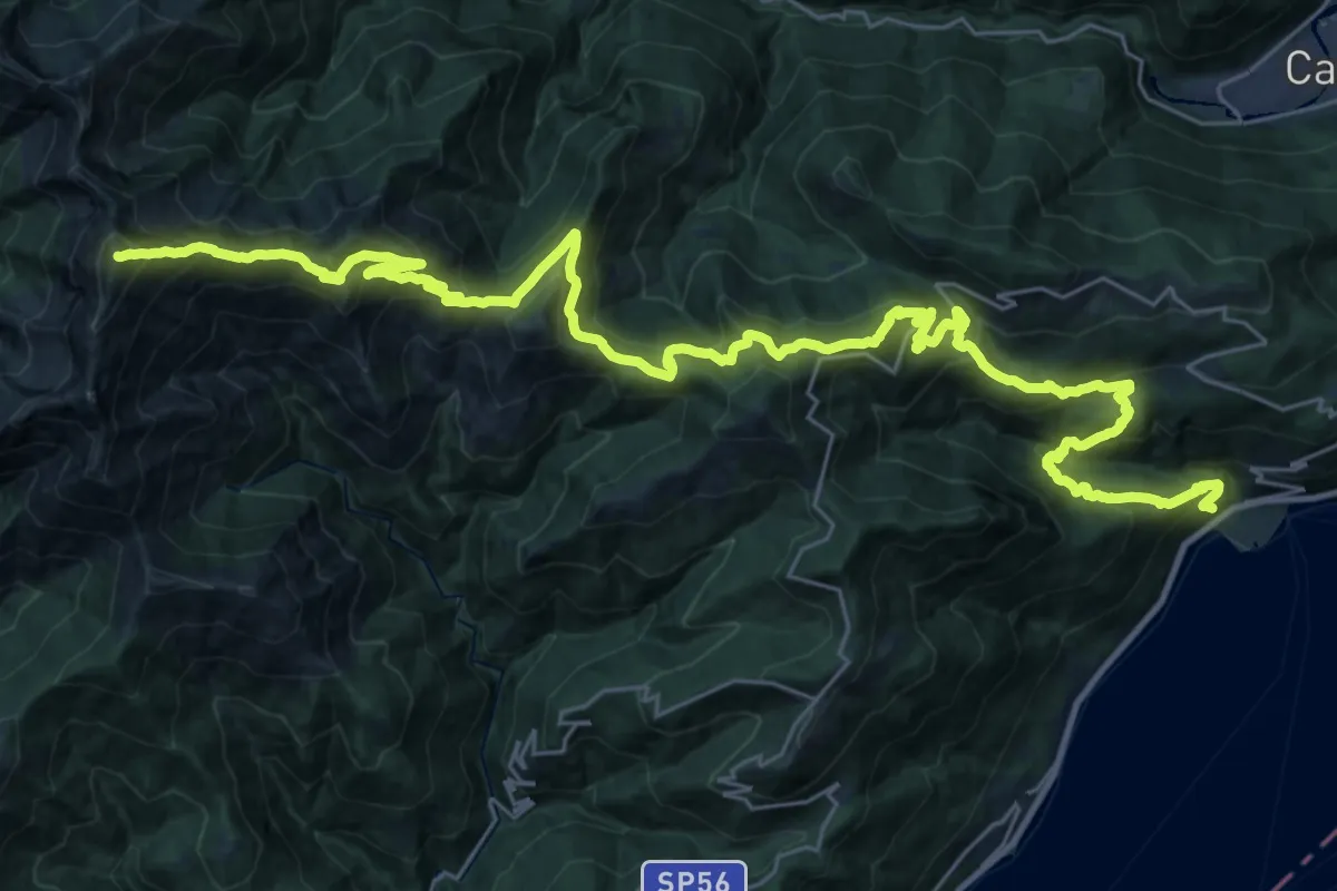
Demanding · Summit
R20 Cannero - Oggiogno - Trarego - Cima l'Alpe - Monte Spalavera - Pian Puzz - Archia - Passo Folungo - Monte Zeda
41.4 km · ↑ 2801 m · 15 h 50 min · 13 km away
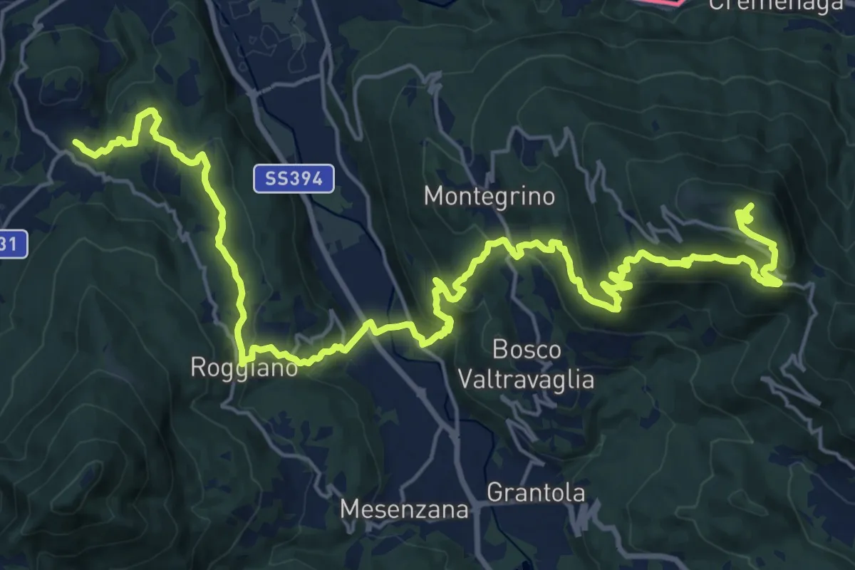
Demanding · Summit
214 3V (Variante Tappa 7 Via Verde Varesina)
27.9 km · ↑ 1247 m · 9 h 17 min · 13 km away
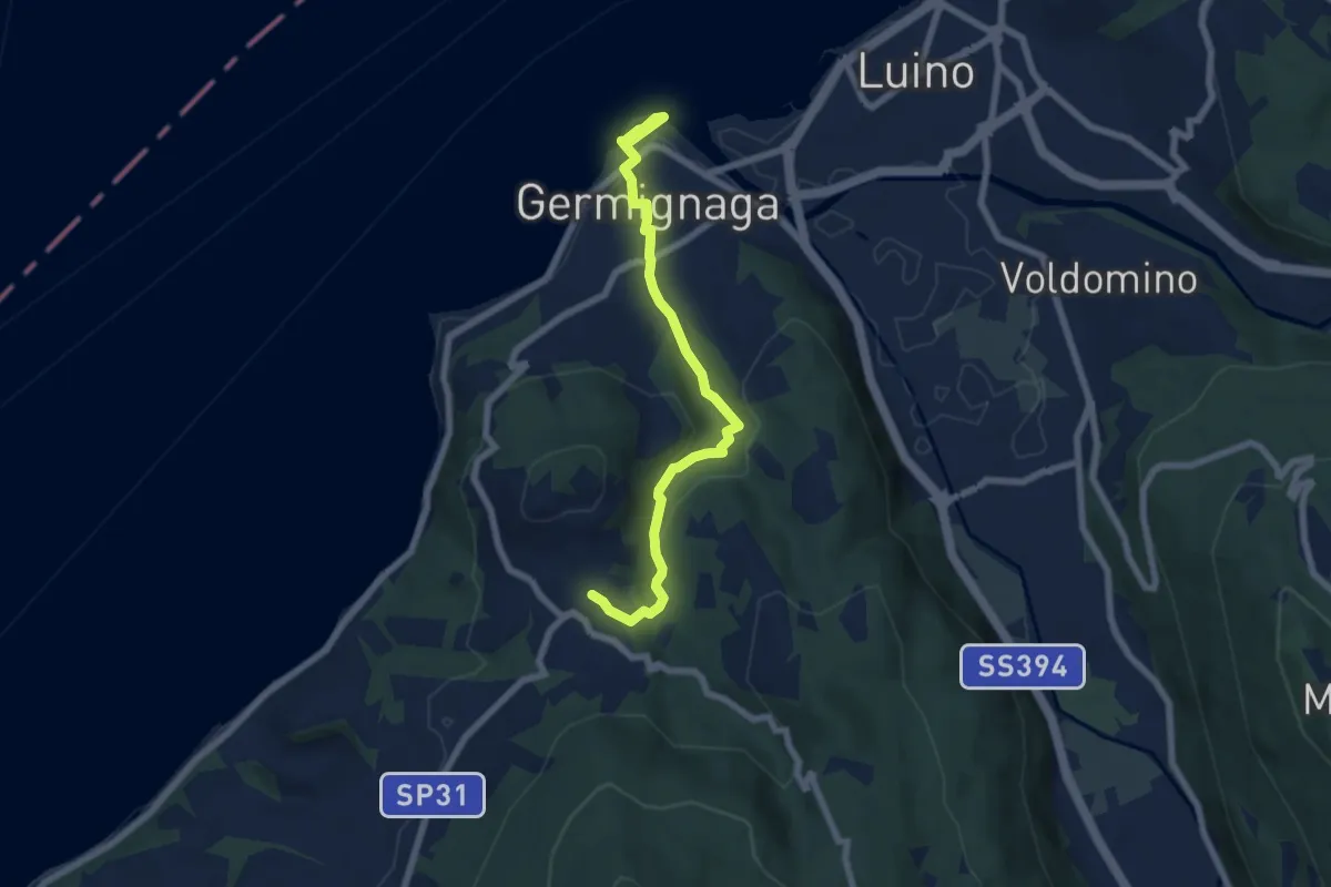
Medium · Trail
Germignaga – Brezzo di Bedero
7.0 km · ↑ 188 m · 2 h 4 min · 13 km away
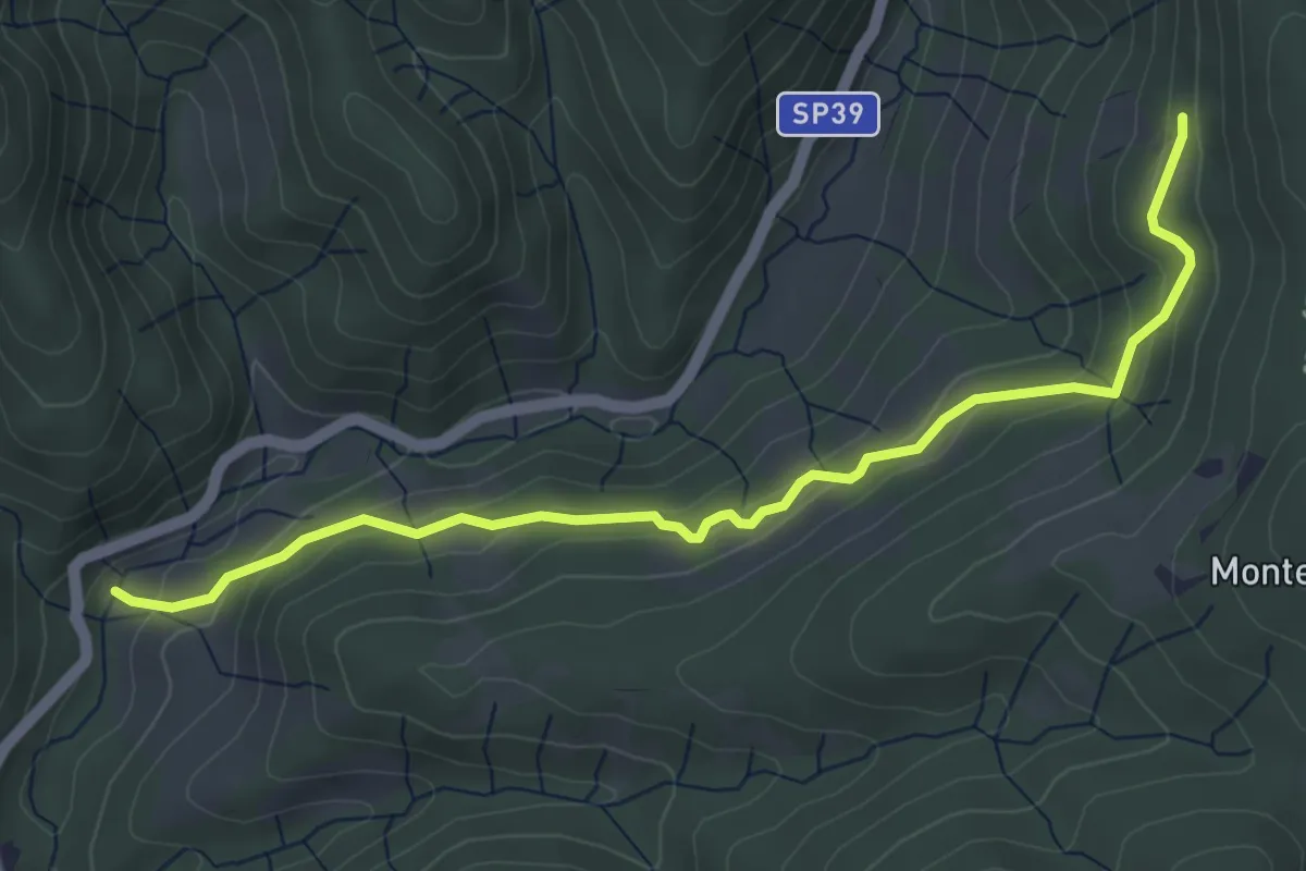
Easy · Trail
Sovazza ponte Agogna – Alpe Maioli
5.0 km · ↑ 260 m · 1 h 45 min · 13 km away
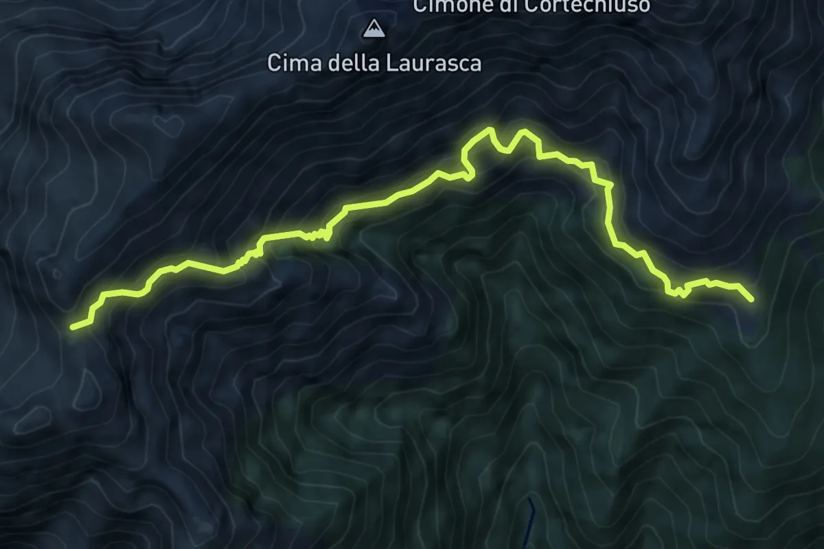
Expert · Cabin
X14 - Alpe Busarasca - Bocchetta di Campo
8.2 km · ↑ 1084 m · 4 h 17 min · 14 km away
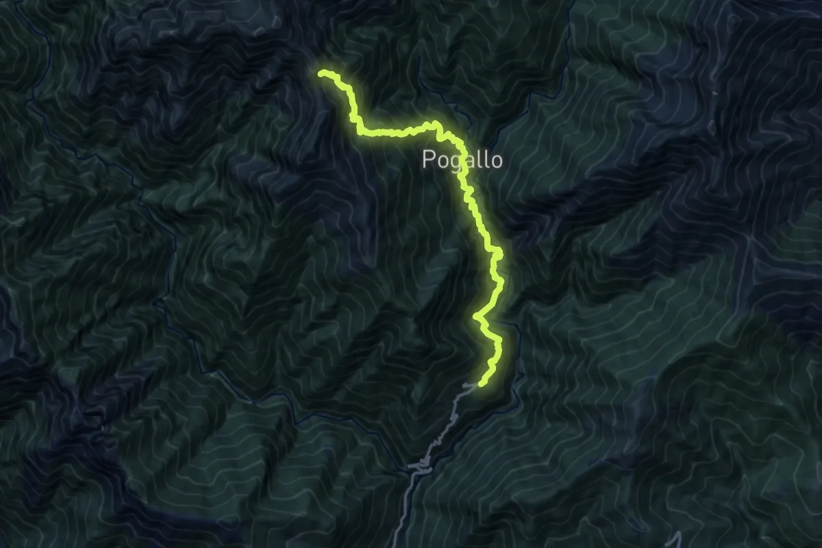
Demanding · Trail
SENTIERO BOVE - ALTERNATIVA da Strette del Casè a Cicogna via Cavrua
14.6 km · ↑ 1994 m · 7 h 46 min · 14 km away