Trails near Verbania
297 hikes starting within 15 km, nearest first.
Nearest first, page 6 of 7
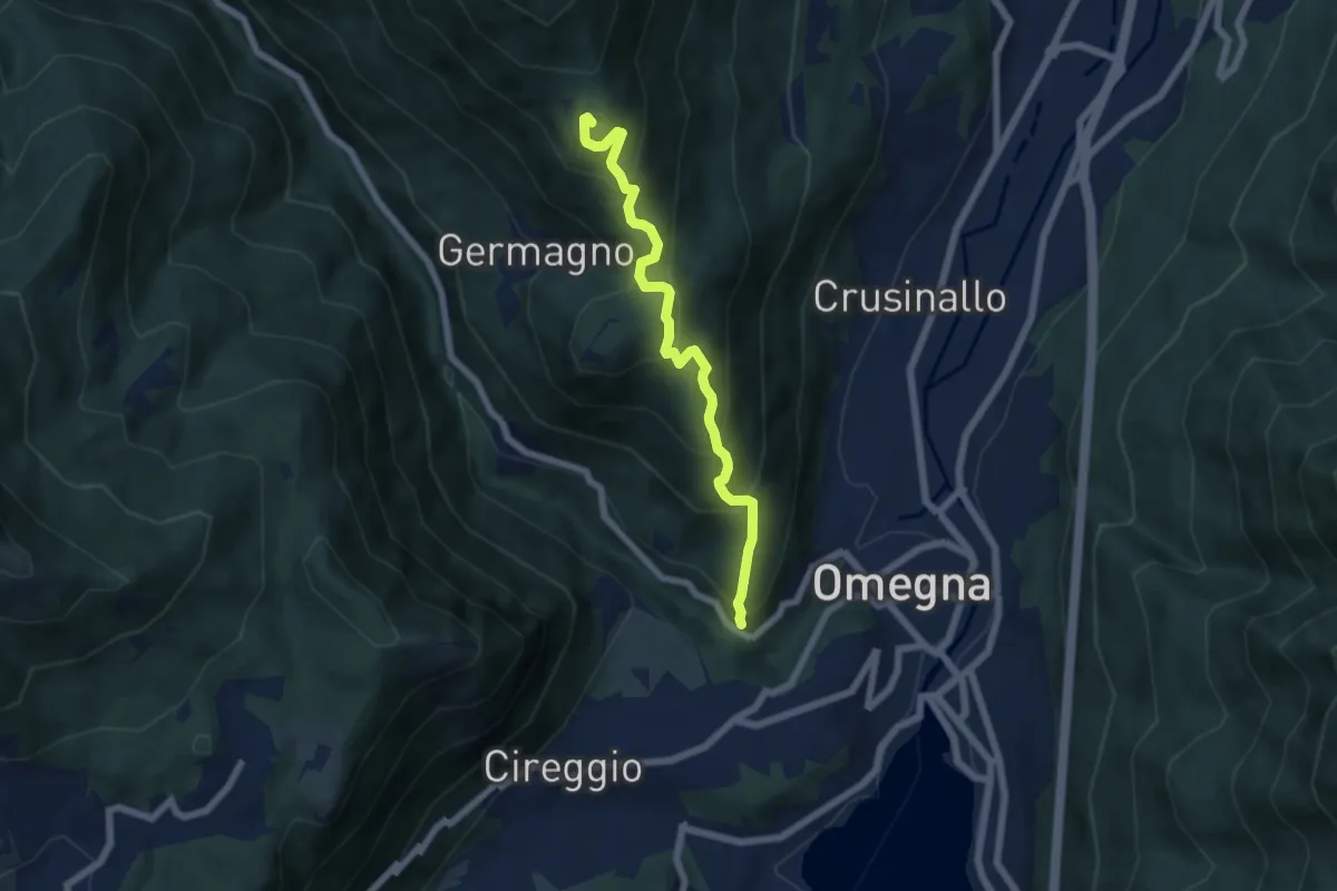
Medium · Trail
T18 - Omegna - Alpe Cardello
6.0 km · ↑ 531 m · 2 h 34 min · 14 km away
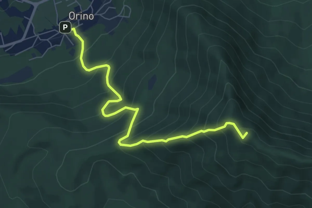
Medium · Summit
Orino – Forte di Orino
6.7 km · ↑ 692 m · 3 h 5 min · 14 km away
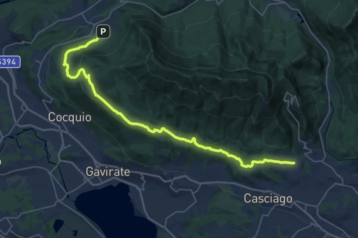
Demanding · Trail
Velate – Orino
22.5 km · ↑ 569 m · 6 h 33 min · 14 km away
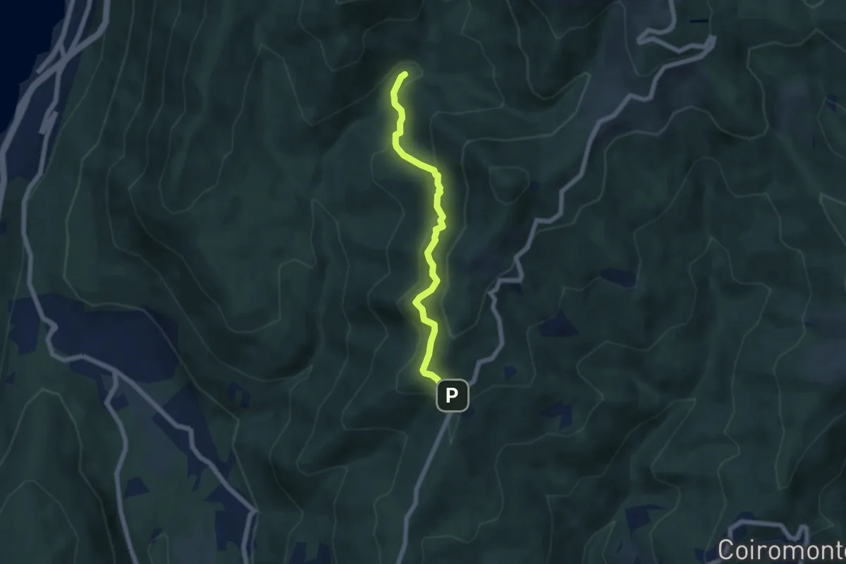
Medium · Trail
VP6 - Bivio VP5 - Madonna di Luciago
5.1 km · ↑ 338 m · 1 h 57 min · 14 km away
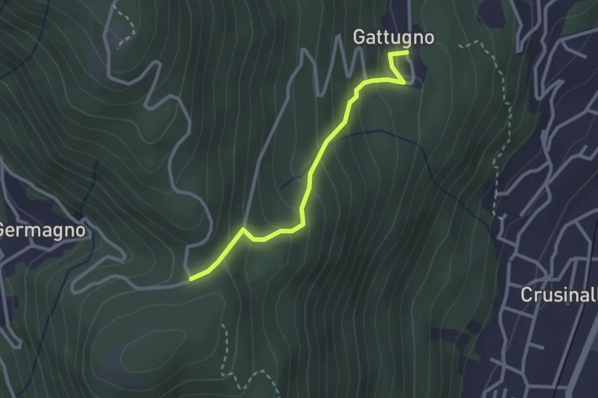
Medium · Trail
T18a - Gattugno - Alpe Colla
2.3 km · ↑ 205 m · 59 min · 14 km away
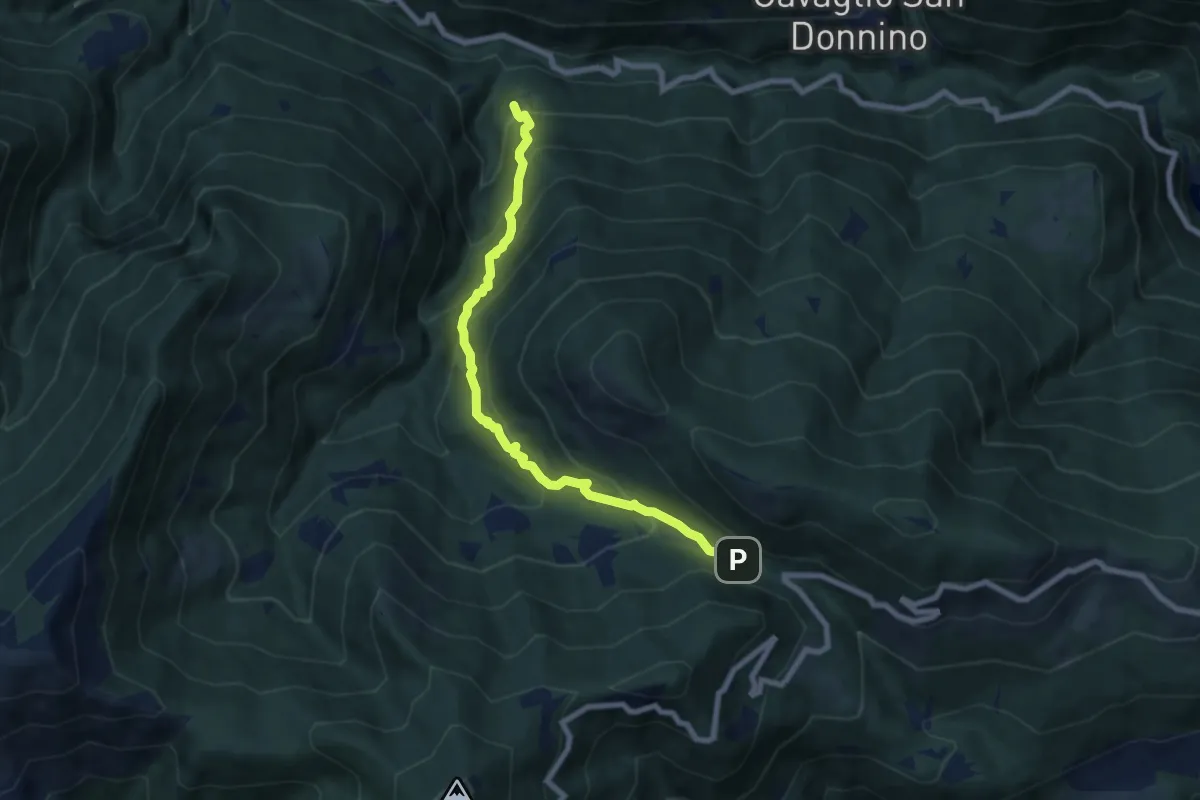
Medium · Trail
S11 Socraggio - Piazza S.Eurosia
7.4 km · ↑ 682 m · 3 h 13 min · 14 km away
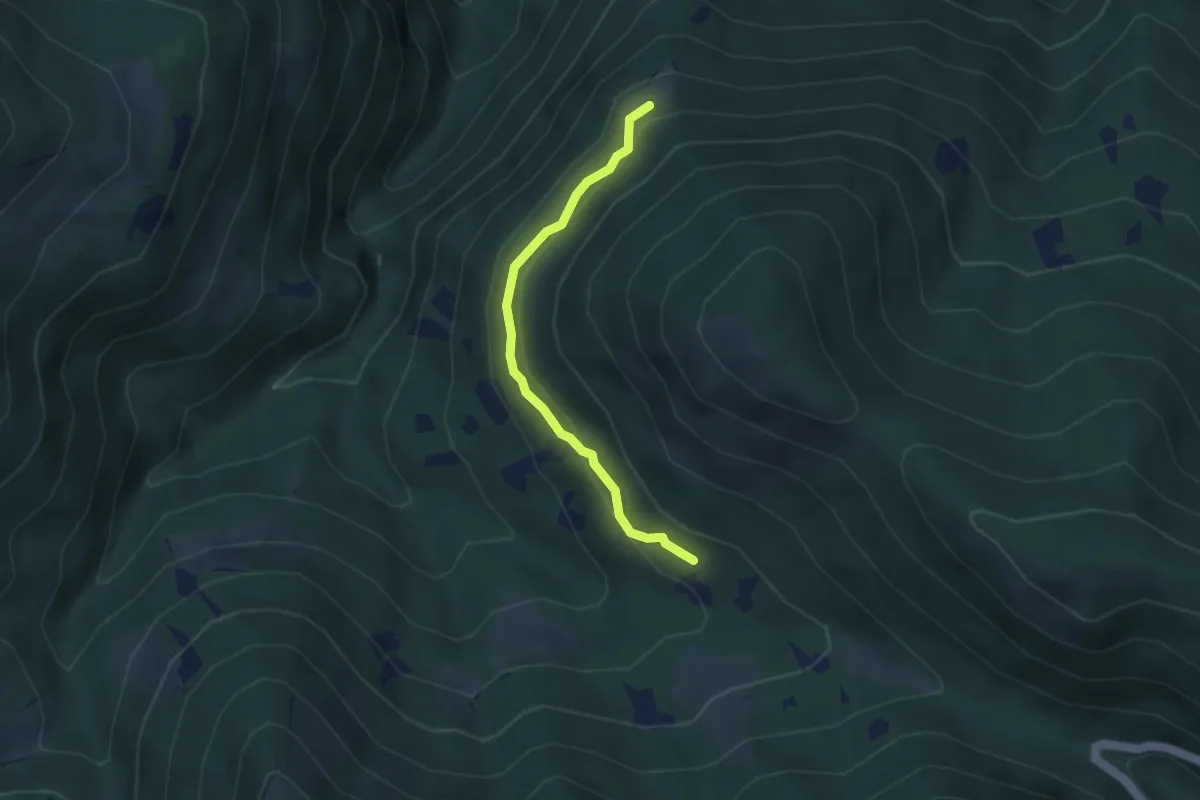
Easy · Trail
S11a Aurasco - Alpe Graggio
3.2 km · ↑ 151 m · 1 h 4 min · 14 km away
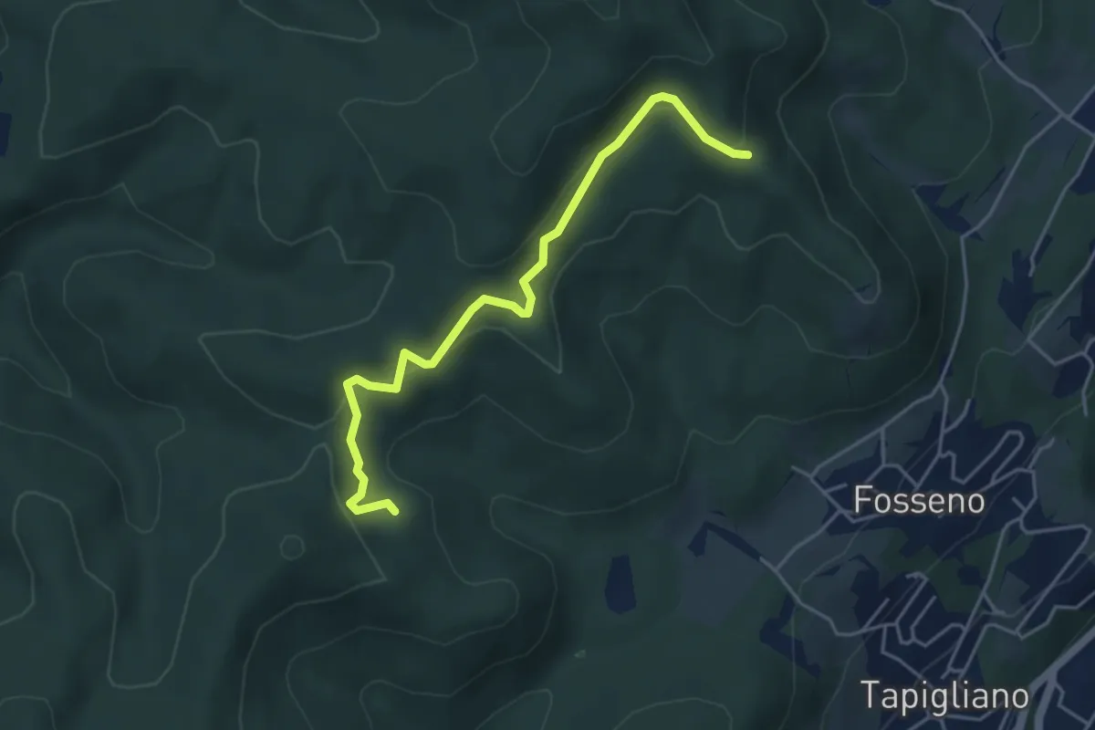
Easy · Trail
VF2 - Bivio VF3 - Bivio VF5
4.5 km · ↑ 230 m · 1 h 34 min · 14 km away
Easy · Trail
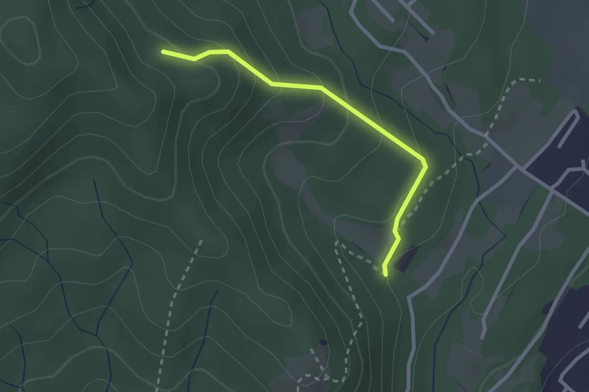
VF7 - Sasso del Pizzo - Alpe Cima
2.2 km · ↑ 158 m · 52 min · 14 km away
Medium · Trail
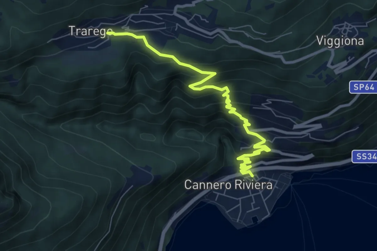
R44 Cannero - Trarego
7.6 km · ↑ 542 m · 2 h 58 min · 14 km away
Medium · Summit
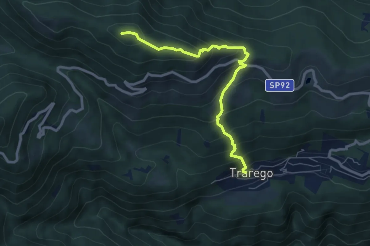
R38 Trarego - Monte Pian Bello
5.7 km · ↑ 527 m · 2 h 30 min · 14 km away
Medium · Trail
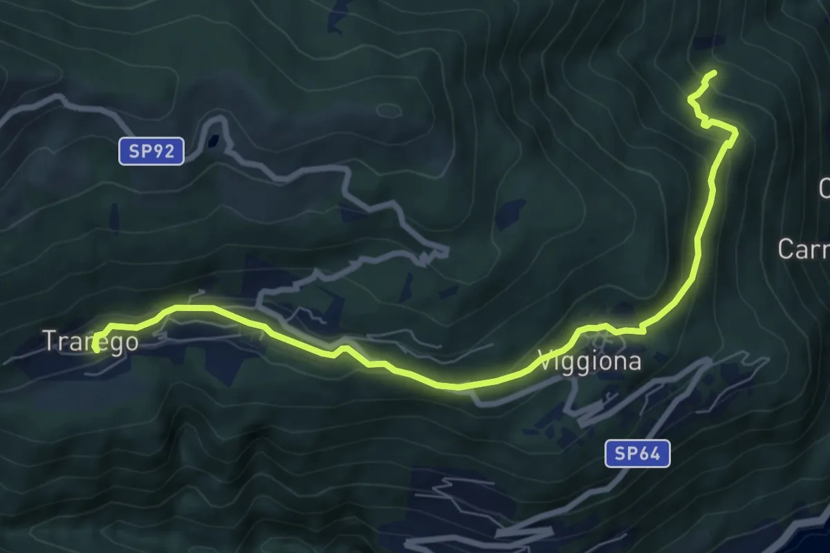
R46 Molineggi - Viggiona - Trarego
8.2 km · ↑ 403 m · 2 h 48 min · 14 km away
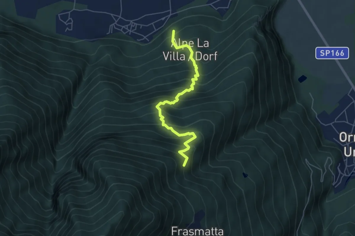
Medium · Trail
A27 - Migiandone - Alpe Magigè
5.2 km · ↑ 669 m · 2 h 40 min · 14 km away
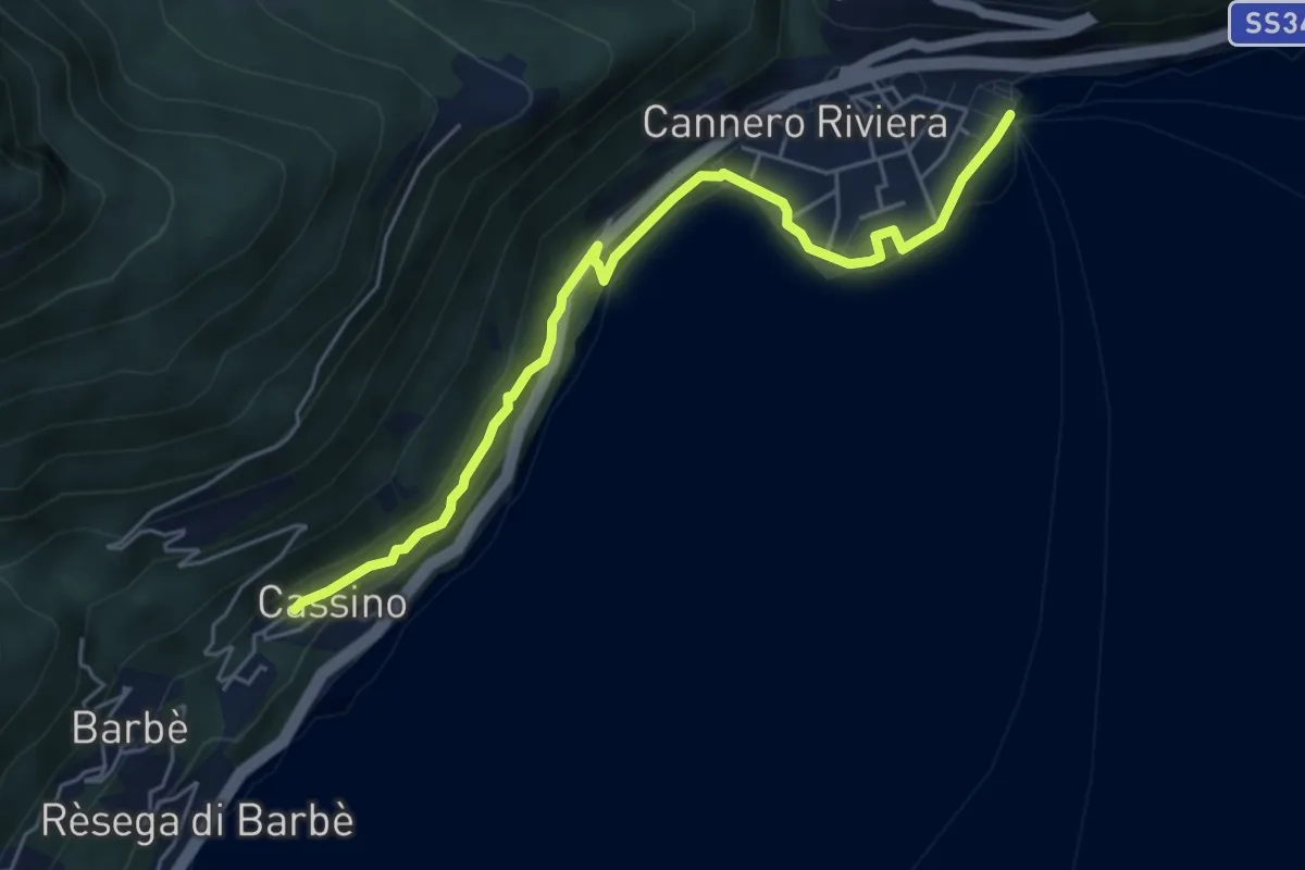
Easy · Trail
R30a Cannero - Cassino
5.6 km · ↑ 170 m · 1 h 42 min · 14 km away
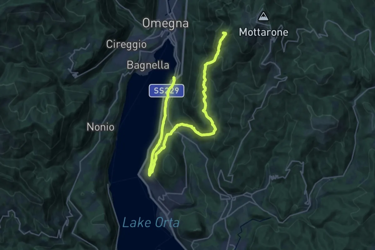
Demanding · Summit
VP4 - Borca - l'Omo
24.1 km · ↑ 1168 m · 8 h 13 min · 14 km away
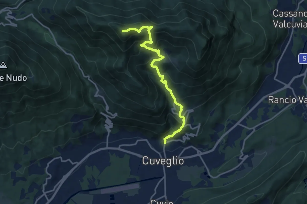
Demanding · Summit
Direttissima Monte della Colonna
9.5 km · ↑ 910 m · 4 h 13 min · 14 km away
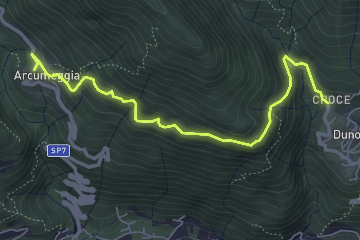
Medium · Trail
Arcumeggia – Duno
5.4 km · ↑ 366 m · 2 h 5 min · 14 km away
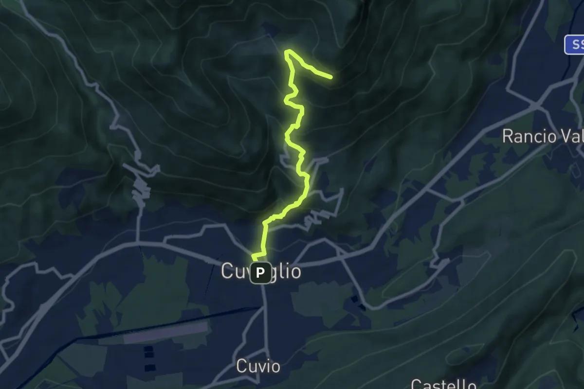
Demanding · Trail
Cuveglio – Vallalta
7.0 km · ↑ 577 m · 2 h 53 min · 14 km away
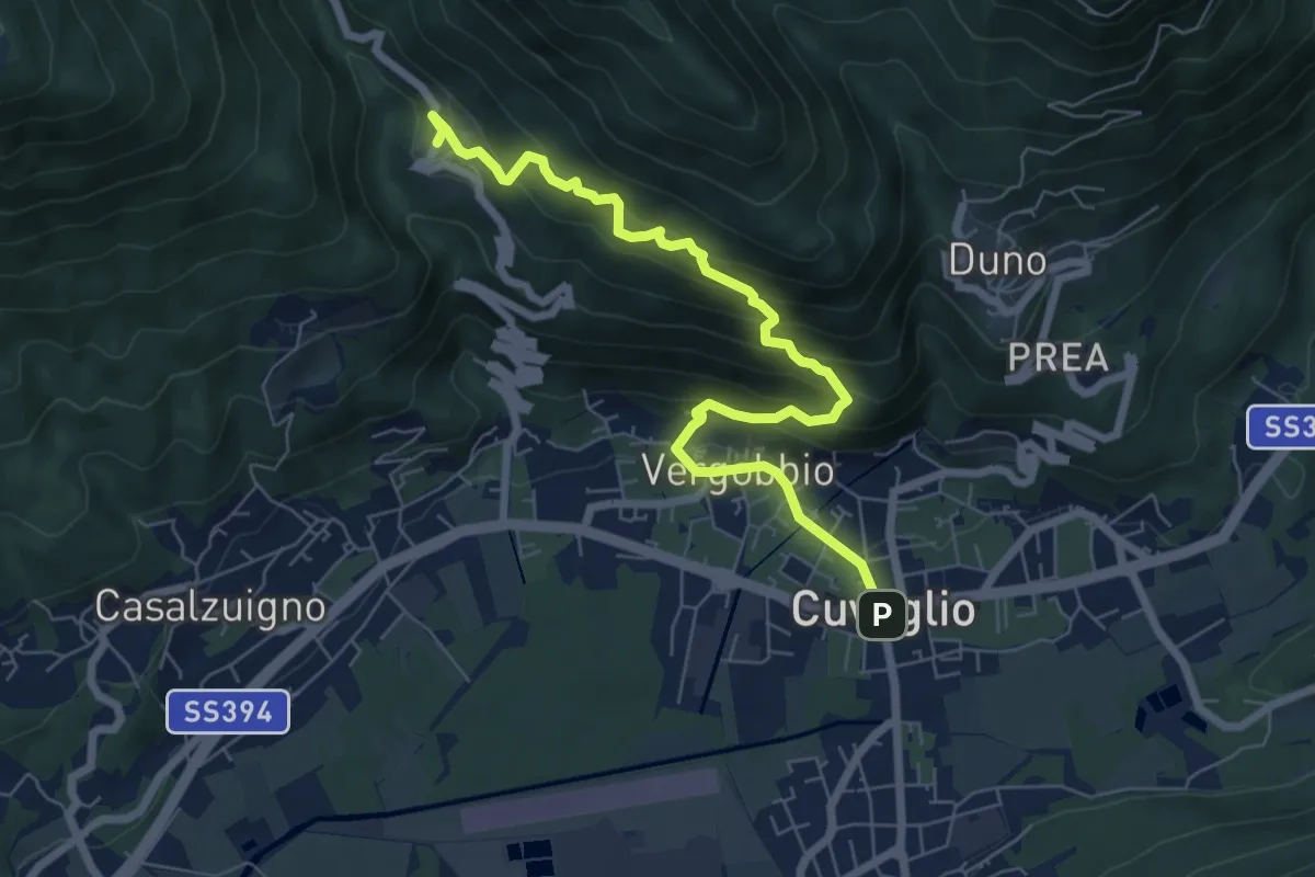
Medium · Trail
Cuveglio – Cascine-Vergobbio-Arcumeggia
7.4 km · ↑ 561 m · 2 h 58 min · 14 km away
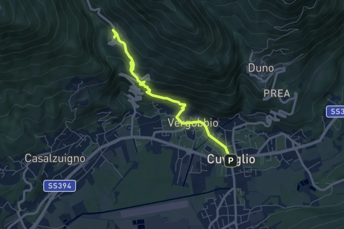
Medium · Trail
Cuveglio – Arcumeggia
5.9 km · ↑ 325 m · 2 h 6 min · 14 km away
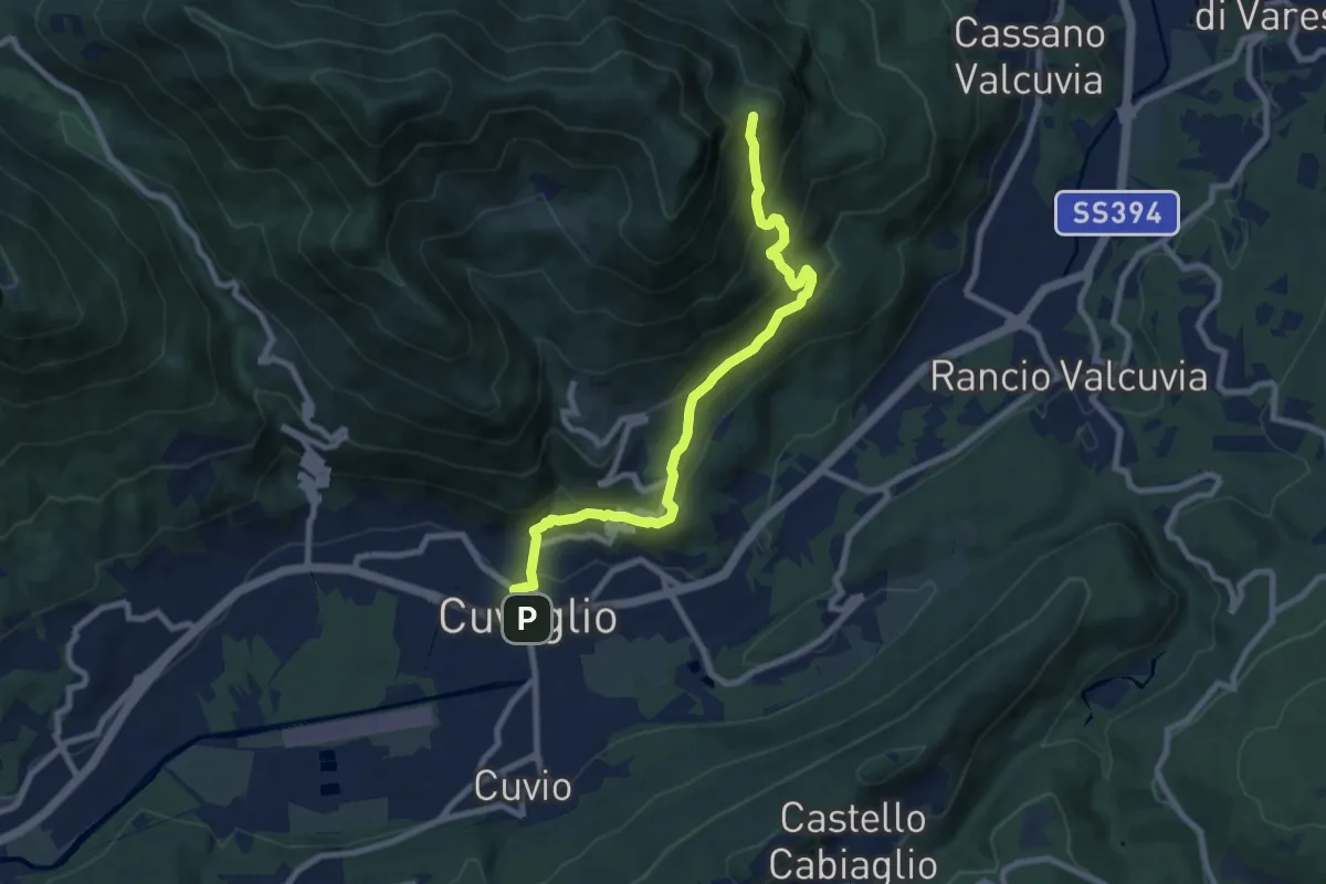
Medium · Trail
Cuveglio – Vallalta
8.7 km · ↑ 612 m · 3 h 23 min · 14 km away
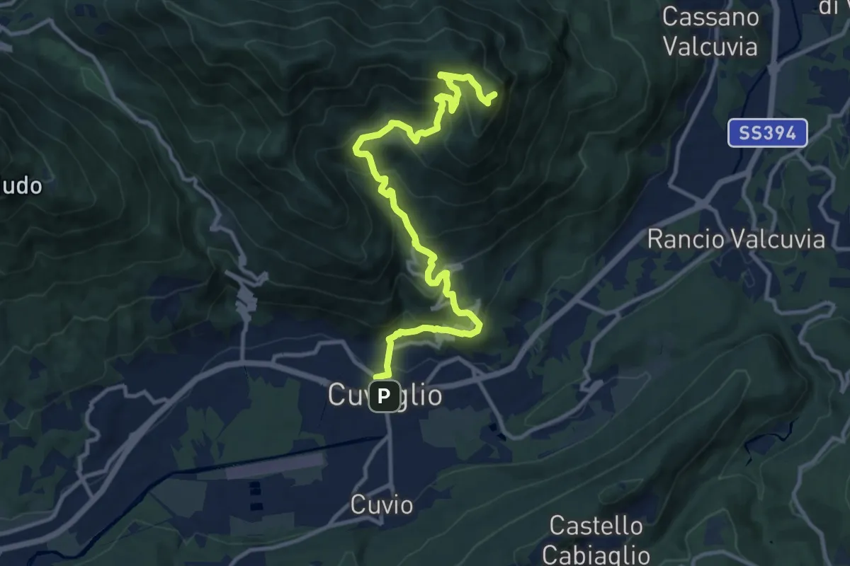
Demanding · Summit
Cuveglio – San Martino
12.5 km · ↑ 834 m · 4 h 45 min · 14 km away
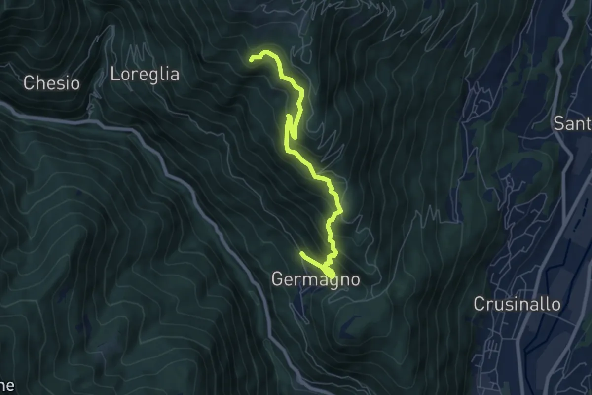
Medium · Trail
Germagno bivio Z00 – Bivio Z02 presso Alpe Ceresa
6.3 km · ↑ 613 m · 2 h 48 min · 14 km away
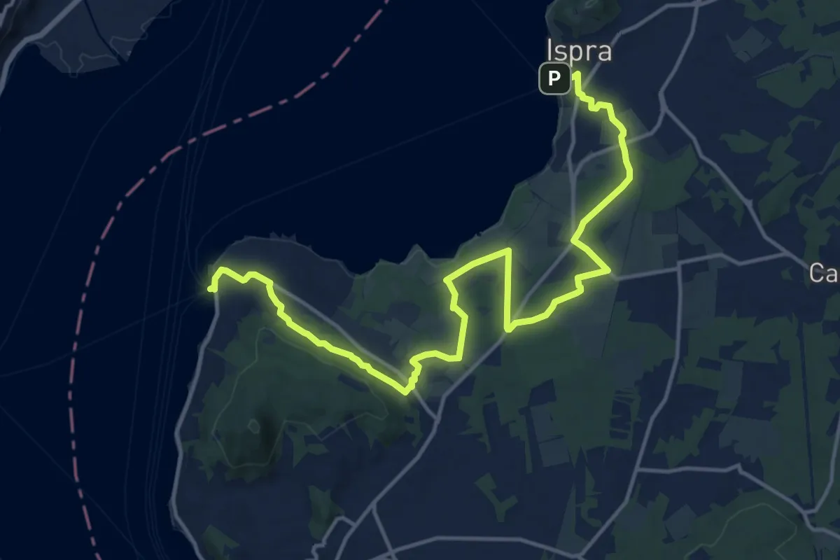
Demanding · Trail
Ranco – Ispra
18.1 km · ↑ 215 m · 4 h 44 min · 14 km away
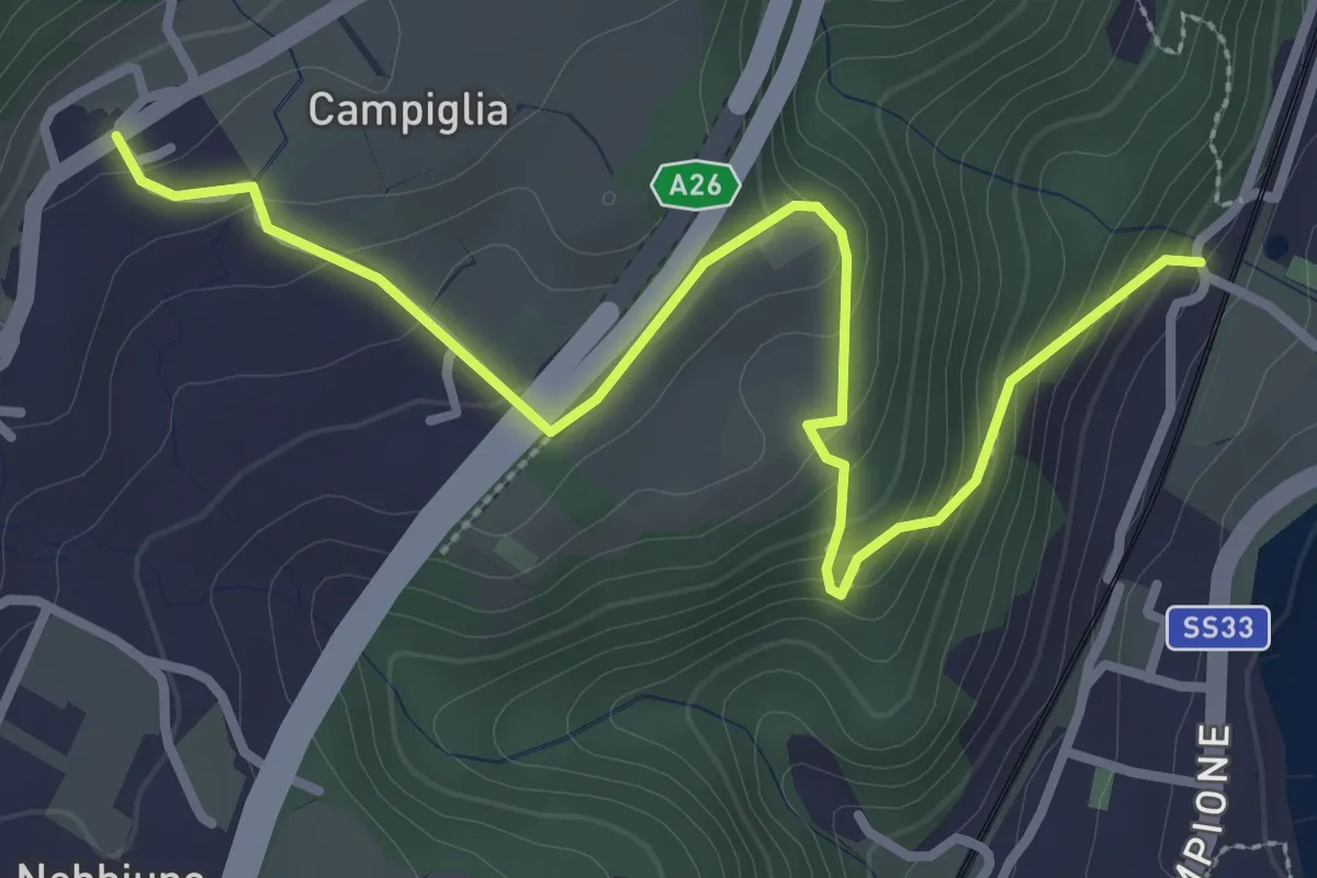
Easy · Trail
Sentiero Lesa - Nebbiuno
3.6 km · ↑ 242 m · 1 h 22 min · 14 km away
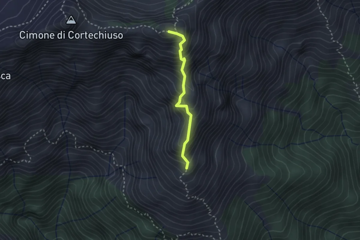
Expert · Summit
P14NS - Cima Marsicce: la cresta in discesa fino al prato alla base
2.1 km · ↑ 321 m · 1 h 12 min · 14 km away
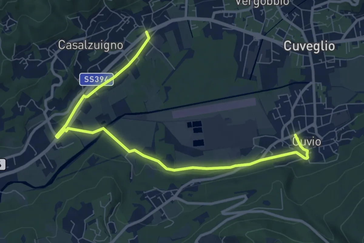
Medium · Trail
Villa Bozzolo – Cuvio
8.7 km · ↑ 92 m · 2 h 15 min · 14 km away
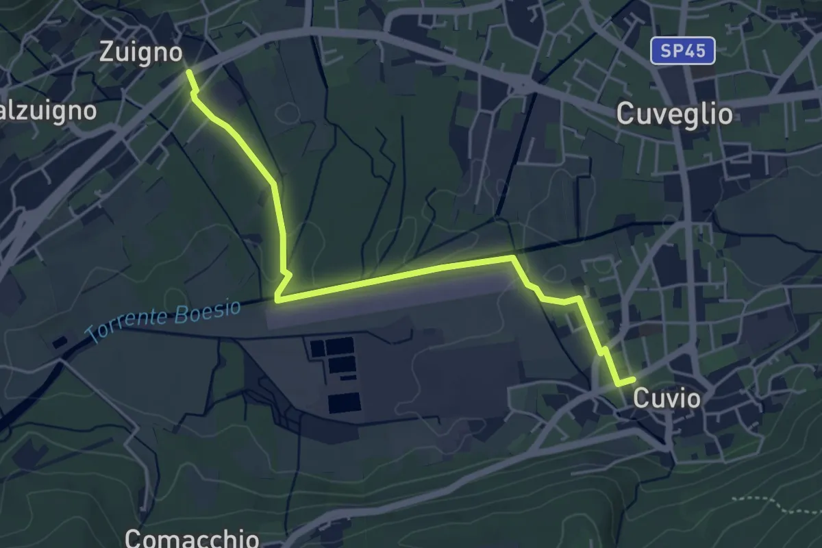
Easy · Trail
Cuvio – Villa Bozzolo
4.6 km · ↑ 33 m · 1 h 10 min · 14 km away
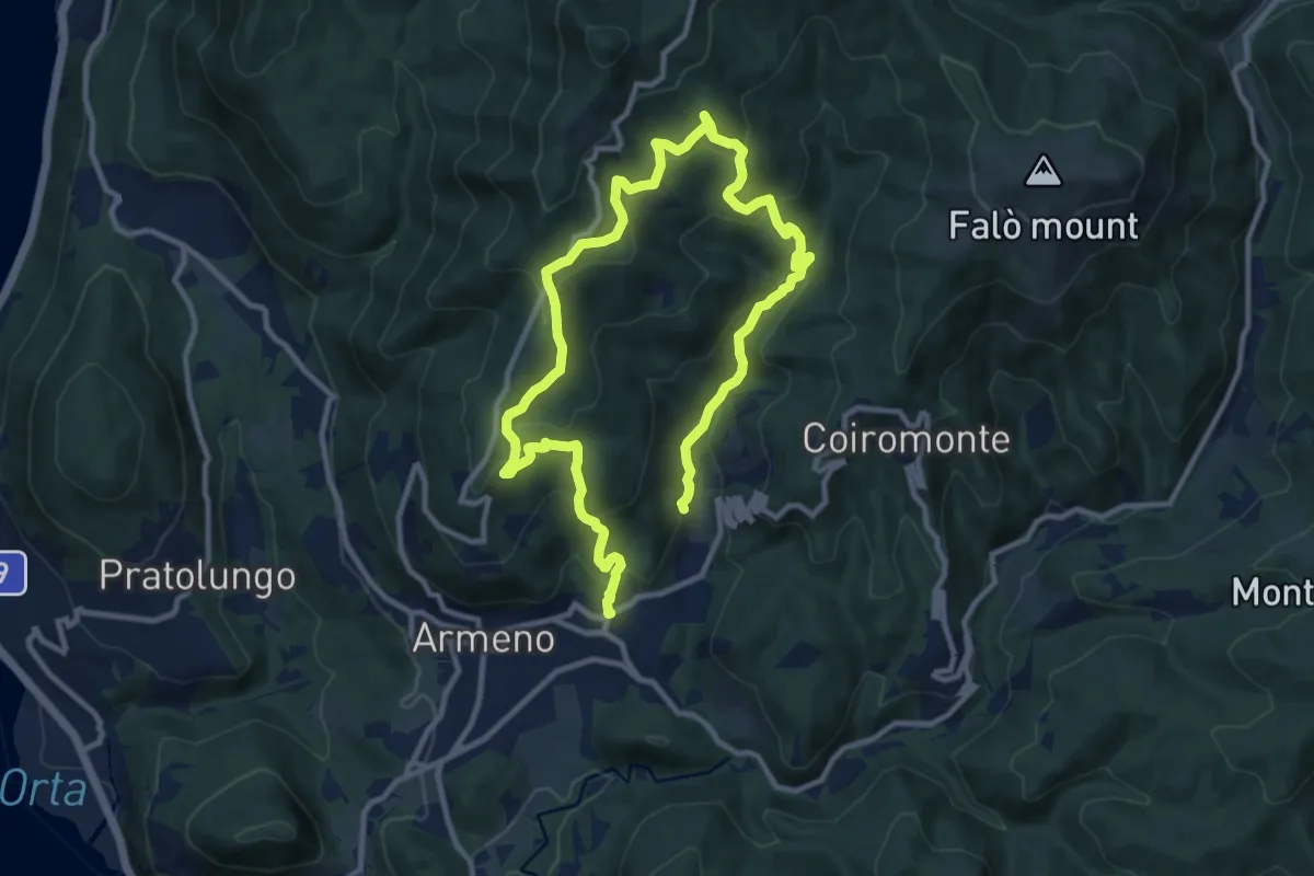
Medium · Trail
Armeno, anello Luciago
8.6 km · ↑ 486 m · 3 h 13 min · 14 km away
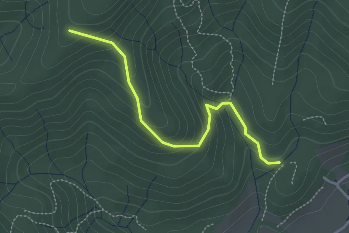
Easy · Trail
VF4 - Fosseno - Alpe Boccioli
2.6 km · ↑ 140 m · 55 min · 14 km away
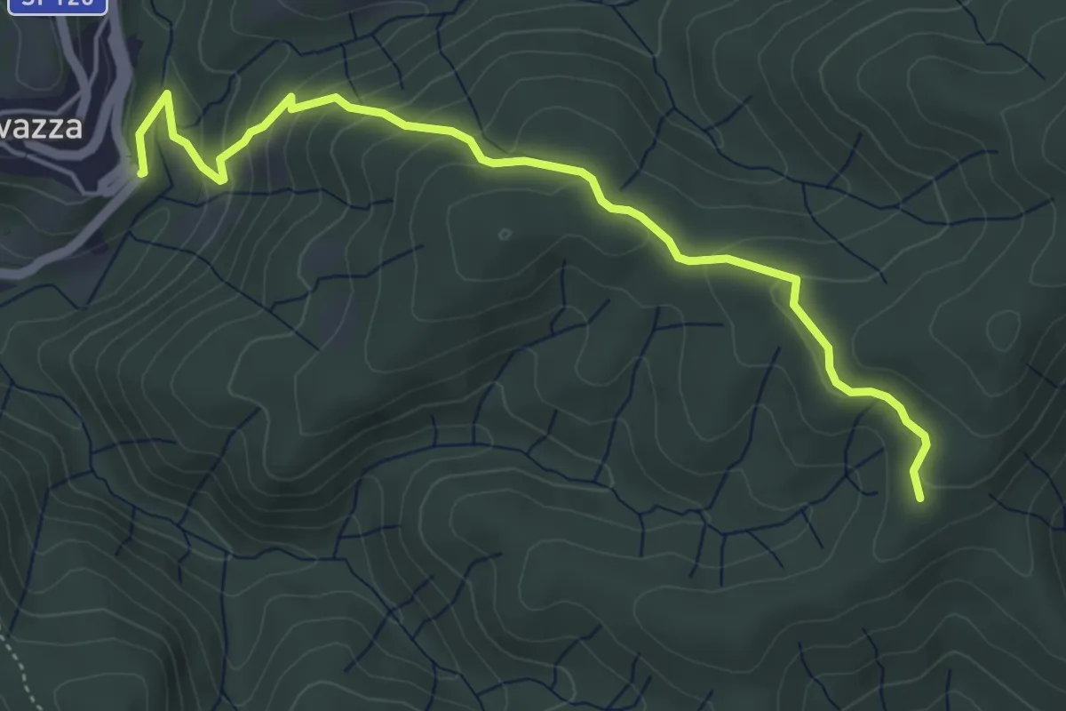
Easy · Trail
VS5 - Sovazza - Alpe Boccioli
5.2 km · ↑ 295 m · 1 h 52 min · 14 km away
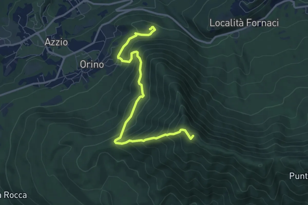
Medium · Summit
Rocca di Orino – Forte di Orino
8.4 km · ↑ 685 m · 3 h 28 min · 14 km away
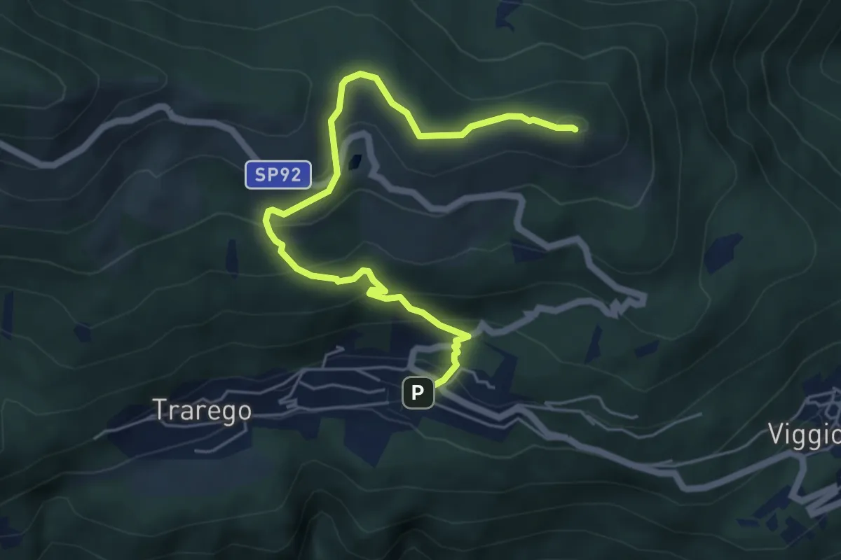
Medium · Summit
R40 Cheglio - Monte Carza
5.9 km · ↑ 360 m · 2 h 10 min · 14 km away
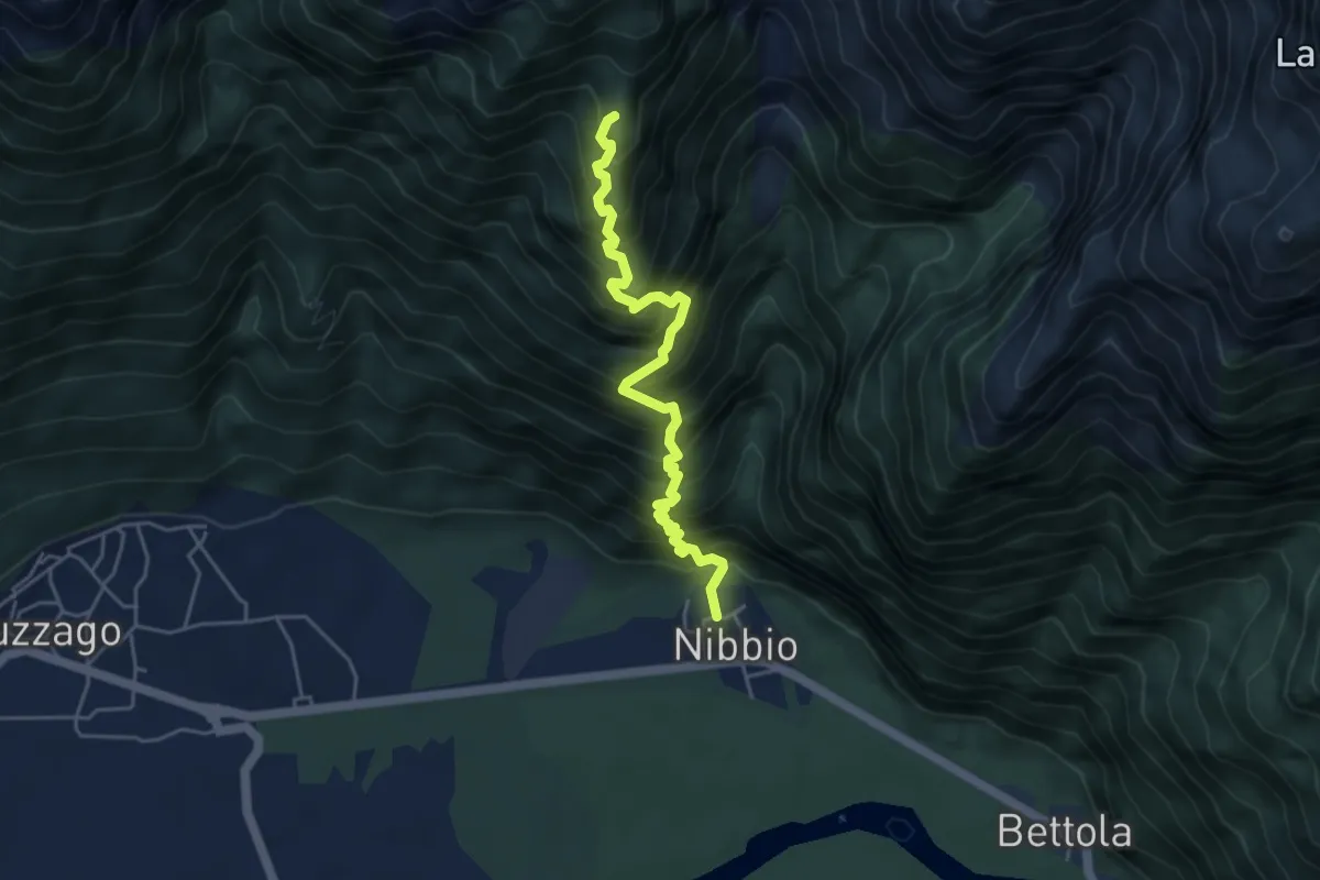
Demanding · Summit
Nibbio – Mot Gianin
4.7 km · ↑ 798 m · 2 h 50 min · 14 km away
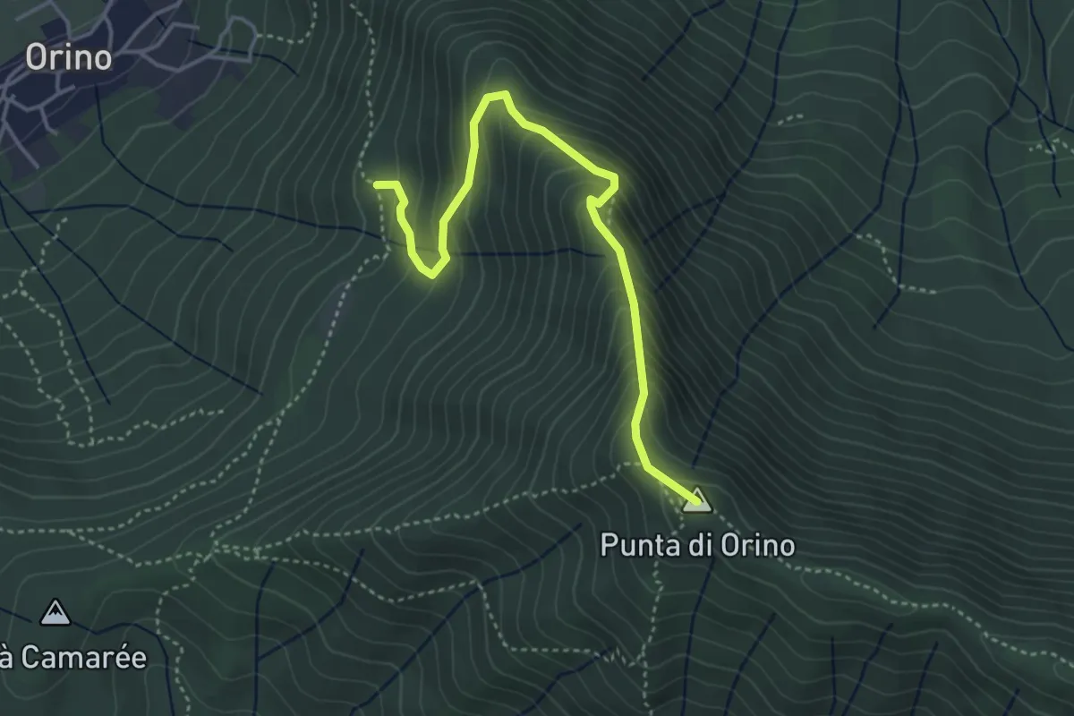
Demanding · Summit
Scarett
4.1 km · ↑ 393 m · 1 h 50 min · 14 km away
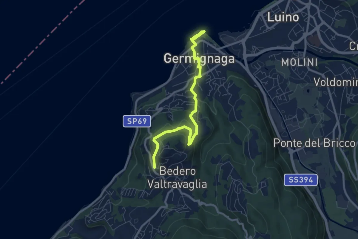
Medium · Trail
Germignaga – Bedero
7.2 km · ↑ 279 m · 2 h 18 min · 14 km away
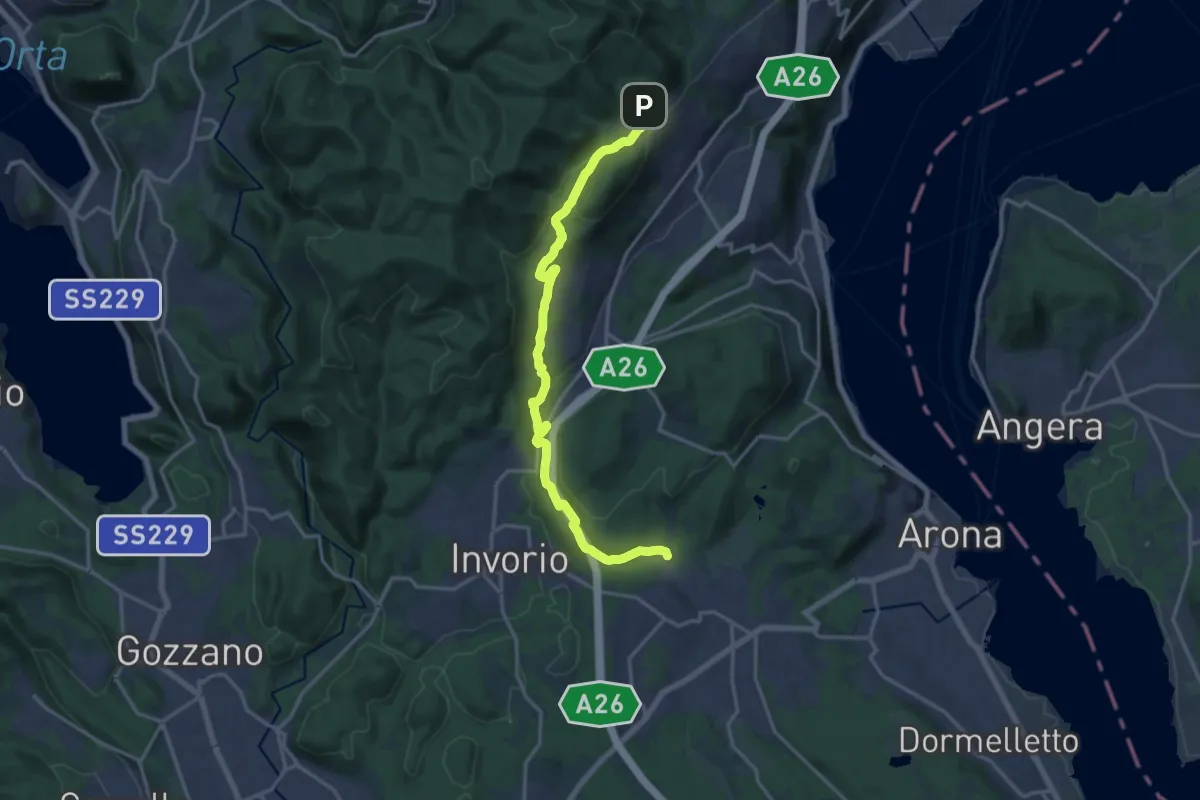
Medium · Trail
Sentiero Novara tappa 14
17.5 km · ↑ 430 m · 5 h 4 min · 14 km away
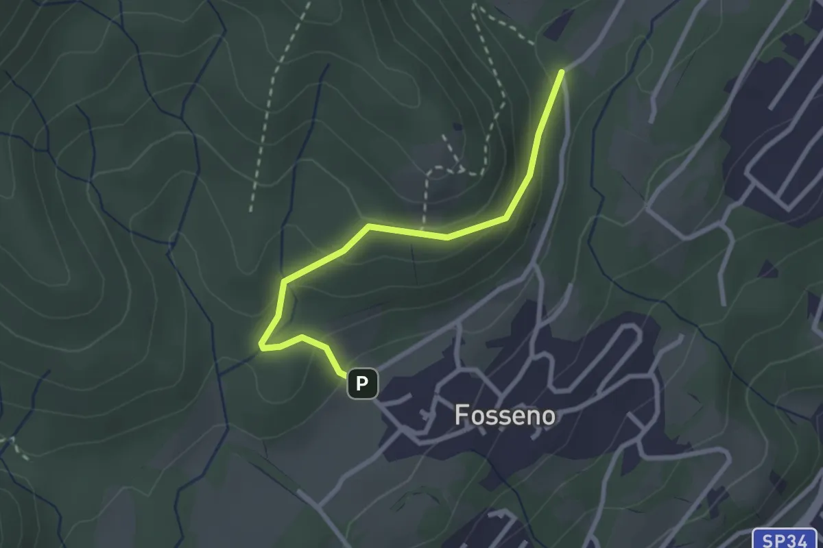
Easy · Trail
VF6 - Fosseno - Lavarina
2.5 km · ↑ 139 m · 54 min · 14 km away
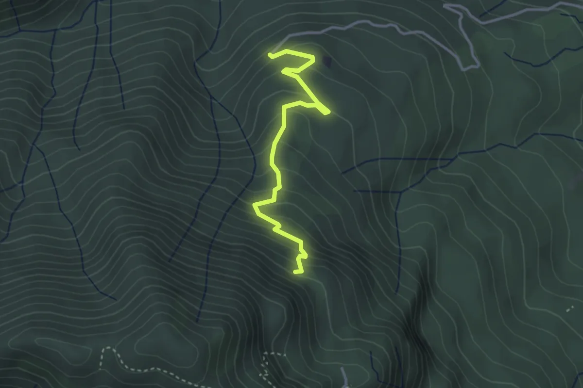
Easy · Trail
260B Sentiero delle Trincee
3.1 km · ↑ 266 m · 1 h 19 min · 15 km away
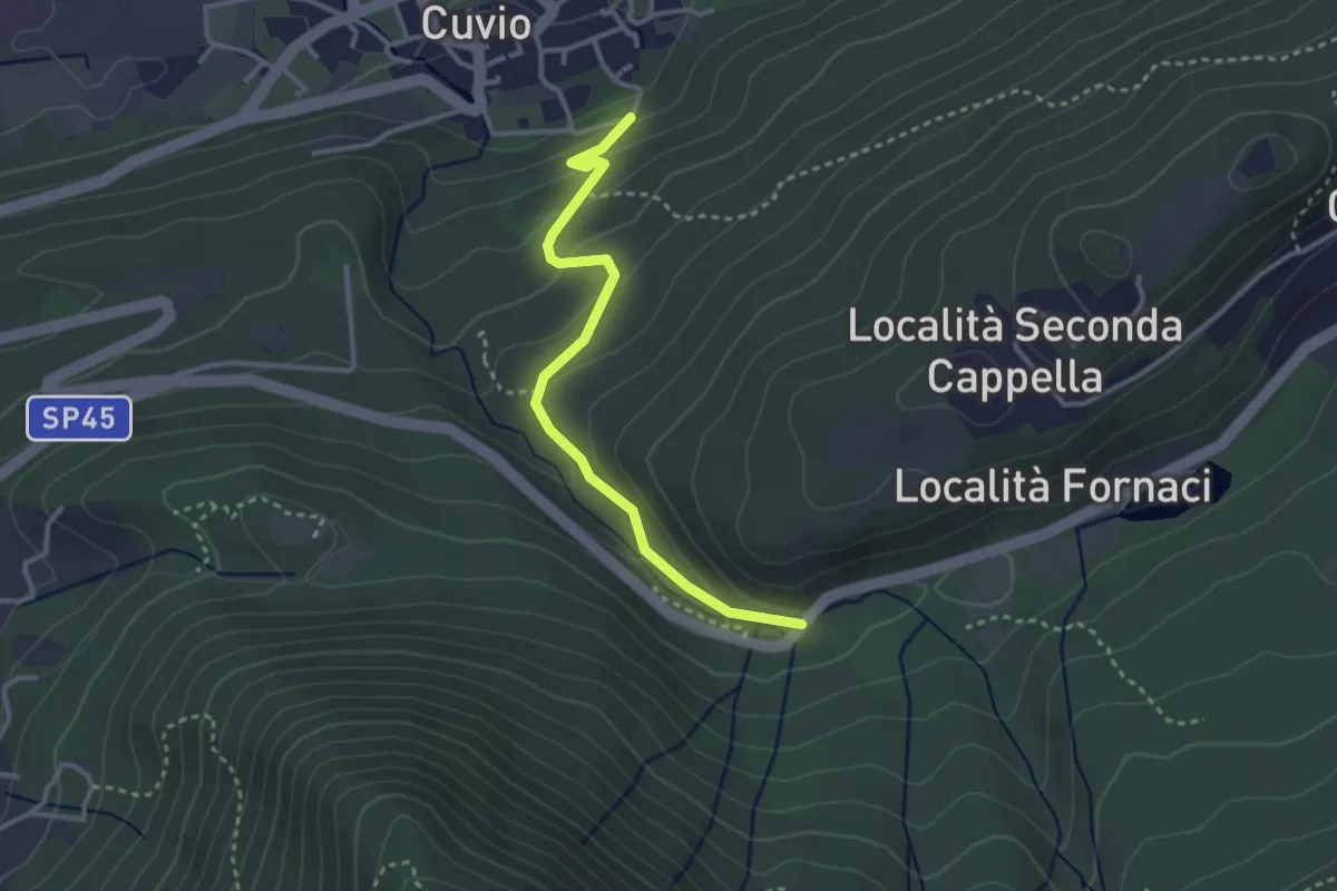
Easy · Trail
Cuvio – Fornaci
3.1 km · ↑ 163 m · 1 h 5 min · 15 km away
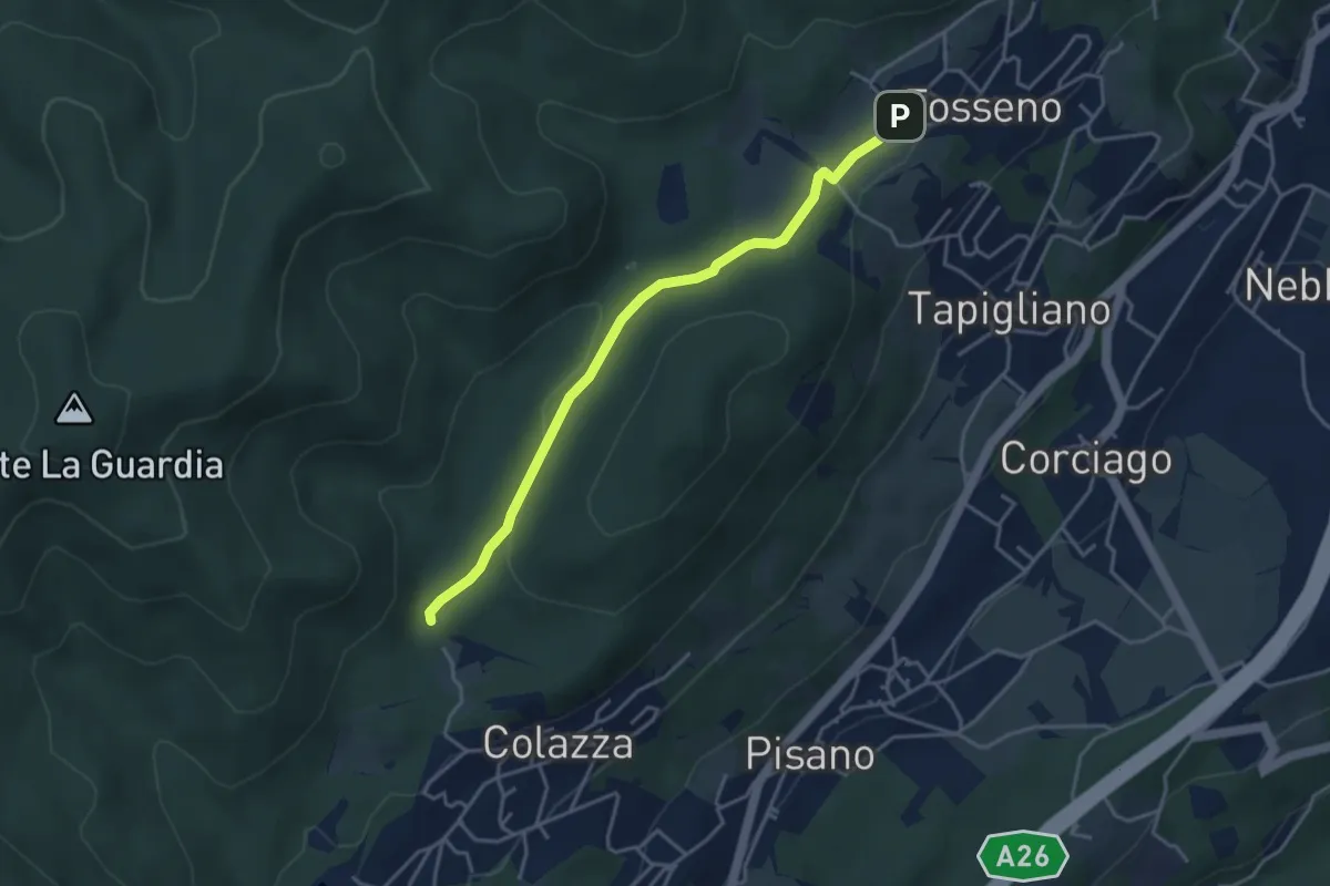
Easy · Trail
VF1 - Colazza - Fosseno
3.9 km · ↑ 54 m · 1 h 3 min · 15 km away
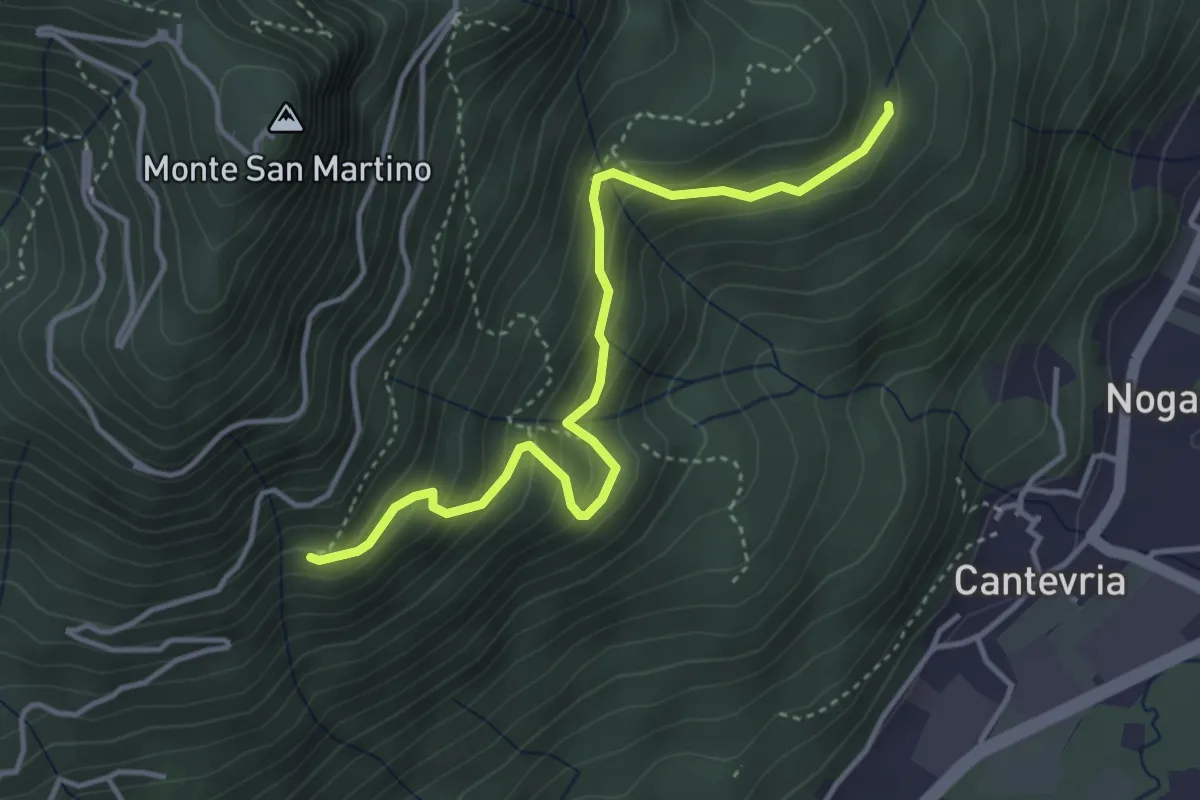
Medium · Trail
Collegamento 263 – Collegamento 264B
4.0 km · ↑ 369 m · 1 h 45 min · 15 km away
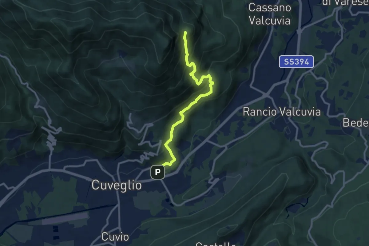
Medium · Trail
Cuveglio – Vallalta
7.9 km · ↑ 614 m · 3 h 12 min · 15 km away
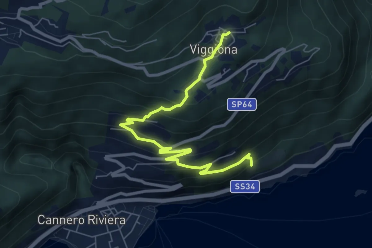
Medium · Trail
R48 Cannero bivio S03 - Viggiona
6.3 km · ↑ 420 m · 2 h 24 min · 15 km away
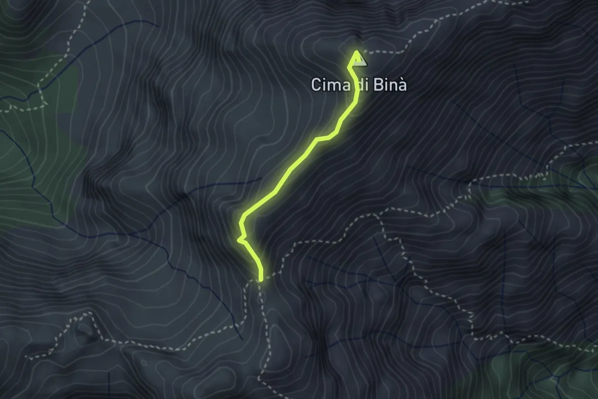
Demanding · Summit
P17 - Bivio M14 presso Cima della Laurasca - Rifugio Bta di Campo
2.2 km · ↑ 176 m · 54 min · 15 km away
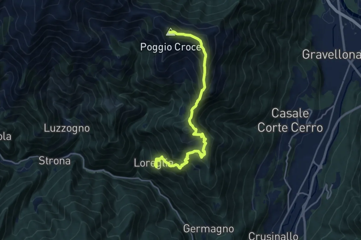
Demanding · Summit
Grata Gamul Trekking - Tappa 1
13.5 km · ↑ 1255 m · 5 h 55 min · 15 km away
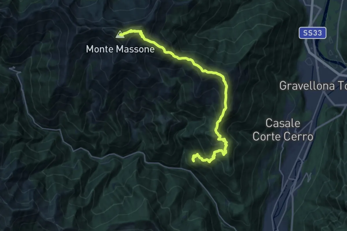
Demanding · Summit
Z02 - Loreglia - Monte Massone
21.3 km · ↑ 1970 m · 9 h 17 min · 15 km away
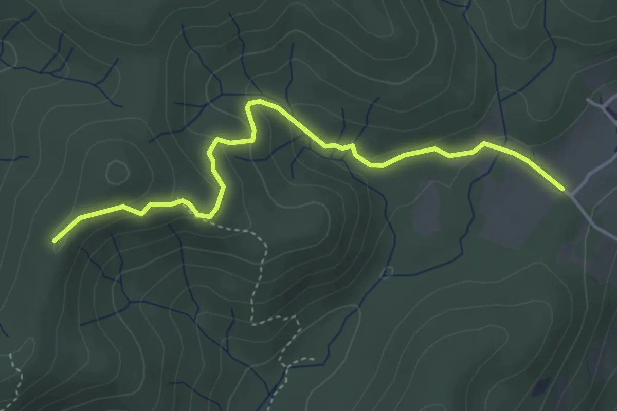
Easy · Trail
VF3 - Fosseno - Alpe del Bosco
4.1 km · ↑ 214 m · 1 h 26 min · 15 km away